BajaNomad

Baja Almanac PDF?

Ken Cooke - 7-18-2018 at 10:01 PM

Has the Baja Almanac been converted to .pdf and made available to Google?

I have seen that the original Baja Almanacs range in price from $250 to $550 and above! Who is getting rich as these books originally commanded a price tag of approximately $30.

Original question: Is there a copy on-line of the Baja Almanac?

Thanks,

Ken

David K - 7-18-2018 at 10:26 PM

Many of us knew this day was coming and knew to buy more than one copy back in 2009 (wink wink). The same was true for the better, smaller but bigger scale, 2003 Almanac.

Until just a few months ago, Baja Bound had brand new Almanacs for sale... you snooze you lose?

While BajaGeoff and I have chatted about reissuing an updated Almanac style map, there has been nothing more than that. I went to work on my 2018 maps which show all the roads you plan on using, so copy those for your trip books if you want.

I do have all of the 2003 Almanac pages scanned on a CD (somewhere) that someone mailed me... they just need editing to be straight and cropped. You know I will help with what you decide... you are the Desert Outlaw, after all!

rts551 - 7-19-2018 at 08:01 AM

Isn't there a copyright for these map pages?

David K - 7-19-2018 at 08:04 AM

Yes, to copy them for resale would be bad.

rts551 - 7-19-2018 at 08:11 AM

Well not exactly...but close....This is guidance for students..but applies to everyone.


Copyright Infringement
Copyright infringement is using someone else's work without getting that person's permission. The author of any original work, including books, essays, Web pages, songs, pictures, and videos, automatically gets the copyright to that work, even if she doesn't label it with the copyright symbol and her name. The work must be fixed in tangible form, which means it must be stored on something physical, such as paper, canvas, a CD, or a hard disk. This makes college students copyright owners, since they've already written many original works for school.

The owner of a copyright gets to decide who can legally make copies of that work. It is illegal to copy large sections of someone else's copyrighted work without permission, even if you give the original author credit. Imagine someone making copies of the movie Finding Nemo without asking for permission. He sure won't get away with it just by giving the authors credit on the DVD cover!

Fortunately, a fair use exemption allows you to legally copy small amounts of someone else's work. Just make sure to give the author credit so you won't be guilty of plagiarism!

The courts assign consequences for copyright infringement. This means someone may come after you with a lawyer if you violate his copyright. Your school can report copyright infringement to people who have the legal power to take you to court. Students have been sued for copyright infringement before.2 In some cases, the court may require you to pay the fees for both your lawyer and the copyright owner's lawyer.

Marc - 7-19-2018 at 08:23 AM

Quote: Originally posted by David K  
Many of us knew this day was coming and knew to buy more than one copy back in 2009 (wink wink). The same was true for the better, smaller but bigger scale, 2003 Almanac.

Until just a few months ago, Baja Bound had brand new Almanacs for sale... you snooze you lose?

While BajaGeoff and I have chatted about reissuing an updated Almanac style map, there has been nothing more than that. I went to work on my 2018 maps which show all the roads you plan on using, so copy those for your trip books if you want.

I do have all of the 2003 Almanac pages scanned on a CD (somewhere) that someone mailed me... they just need editing to be straight and cropped. You know I will help with what you decide... you are the Desert Outlaw, after all!


I have scanned a few of your hand drown maps in the past and have found them quite useful.
I have the '03 and newer almanac. The '03 I think is the better one???

[Edited on 7-19-2018 by Marc]

David K - 7-19-2018 at 08:29 AM

Thank you Marc.
While my 2018 maps have copyright protection, I welcome all my Nomad friends to use them in any way possible to help you have a great Baja trip!
Maps that don't get used aren't any good to anyone.
Old maps that are no longer in print or for sale or whose creator and publisher has died would be honored by their continued appreciation, in my opinion. I hope my books and maps get as much use as possible well after I have gone.

Desertbull - 7-20-2018 at 11:29 AM

E32 Cartografia is the best digital map out there for Baja right now ... It costs $105 and its compatible with your GPS ... downloads to your laptop and then you can make routes and transfer them easily to your Garmin handheld GPS or any Garmin GPS ..

http://cartografiagps.com/en/

It is a Mexican company that has developed this mapping and the US Distributor is Lizard Lady ... an American dirt bike riding lady.

Her company is BajaGPSGuide and we send a lot of people her way. No affliation just know her products are great and Baja worthy.


http://www.bajagpsguide.com/index.php?page=shop.product_deta...

rts551 - 7-20-2018 at 12:31 PM

Quote: Originally posted by David K  
Thank you Marc.
While my 2018 maps have copyright protection, I welcome all my Nomad friends to use them in any way possible to help you have a great Baja trip!
Maps that don't get used aren't any good to anyone.
Old maps that are no longer in print or for sale or whose creator and publisher has died would be honored by their continued appreciation, in my opinion. I hope my books and maps get as much use as possible well after I have gone.


Some of the maps you use as a base are already copyrighted. We had this discussion before.

David K - 7-20-2018 at 12:35 PM

Quote: Originally posted by Desertbull  
E32 Cartografia is the best digital map out there for Baja right now ... It costs $105 and its compatible with your GPS ... downloads to your laptop and then you can make routes and transfer them easily to your Garmin handheld GPS or any Garmin GPS ..

http://cartografiagps.com/en/

It is a Mexican company that has developed this mapping and the US Distributor is Lizard Lady ... an American dirt bike riding lady.

Her company is BajaGPSGuide and we send a lot of people her way. No affliation just know her products are great and Baja worthy.


http://www.bajagpsguide.com/index.php?page=shop.product_deta...


The Lizard Lady is Kacey Smith, she came out from Colorado to attend Viva Baja I, in October 2000. She was just finishing her first Baja GPS guidebook and spoke to us about it. Here she is with the late Carlos Fiesta at Viva Baja:


rts551 - 7-20-2018 at 01:32 PM

Quote: Originally posted by David K  
Quote: Originally posted by rts551  
Quote: Originally posted by David K  
Thank you Marc.
While my 2018 maps have copyright protection, I welcome all my Nomad friends to use them in any way possible to help you have a great Baja trip!
Maps that don't get used aren't any good to anyone.
Old maps that are no longer in print or for sale or whose creator and publisher has died would be honored by their continued appreciation, in my opinion. I hope my books and maps get as much use as possible well after I have gone.


Some of the maps you use as a base are already copyrighted. We had this discussion before.


You need not lose sleep over what I do as often as you like following my activities. A map, once modified, added to, altered is no longer the same 
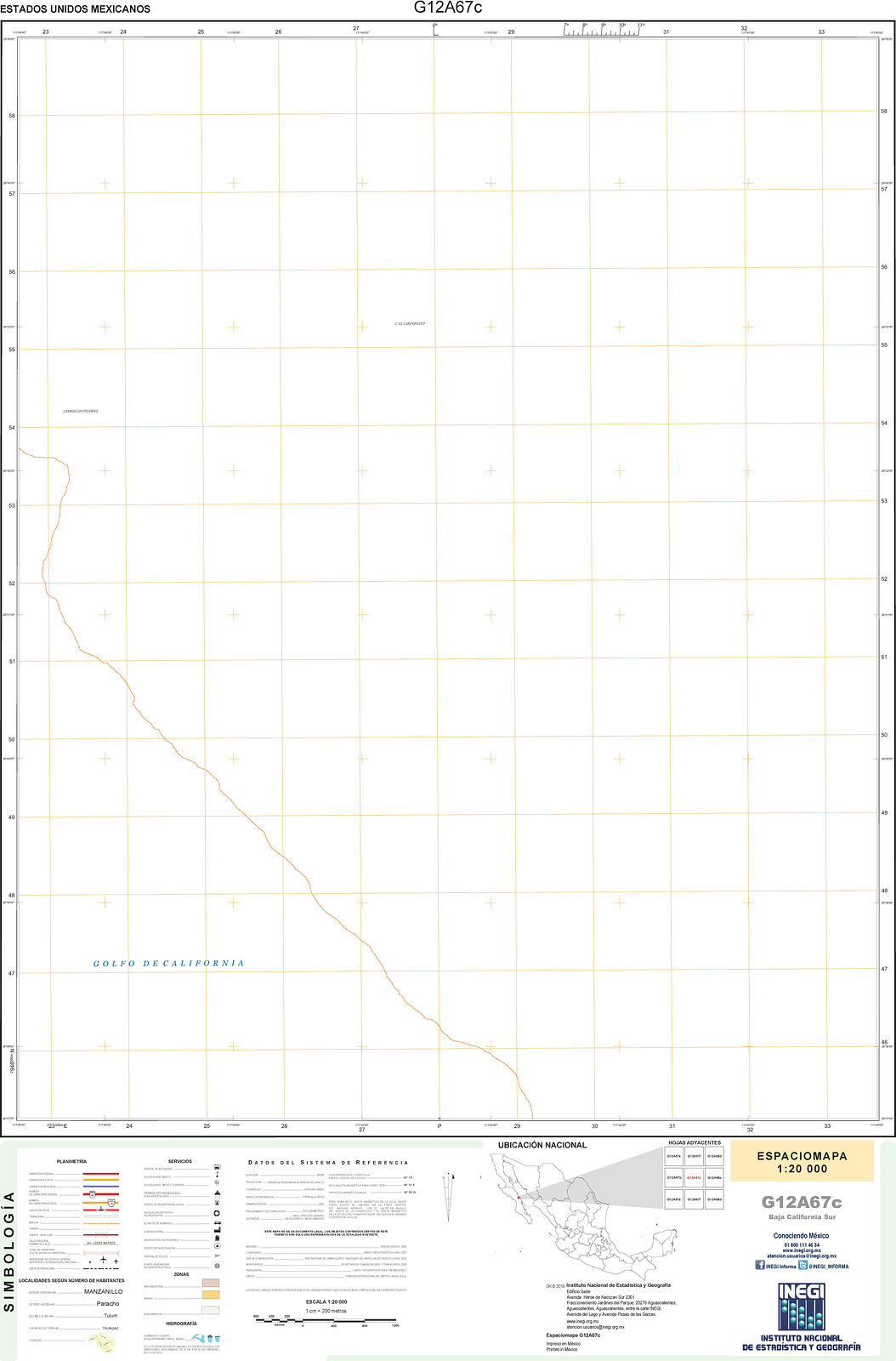
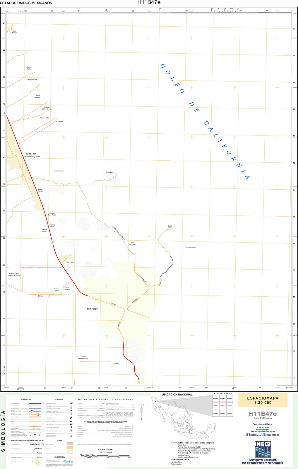
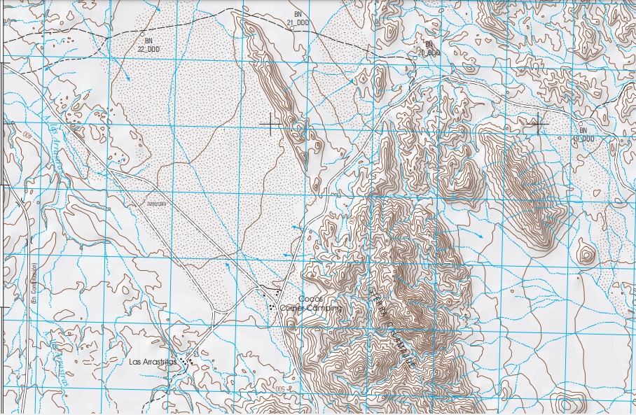
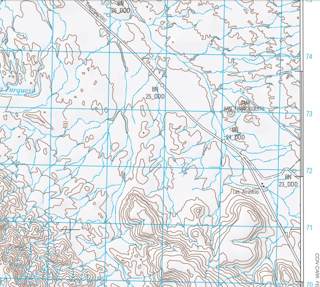
map. The base map I used is specifically for map making, other than federal highways it only shows topography and coastlines and cities. The Baja Almanac maps were not all made by Landon, he only added mileages and a few place names to the existing Mexican topo maps. He made his maps for profit, too. My maps are FREE for anyone who wishes to use or enjoy.

Other than Hwy. 1, 3, 5, 19, all the roads I personally drew in from overlapped satellite images and my GPS tracks. I shared the making of my maps here on Nomad so everyone could provide their input to make it a Nomad project. I am sorry if you don't like community, sharing, or helping others.


Way better things to do than follow you around. You must be taking lessons from the cheeto man when it comes to paranoia about ones self.

From now on, why not add to your posts about who is allowed to respond.

David K - 7-20-2018 at 02:38 PM

Anyone who does not have an agenda.

JZ - 7-20-2018 at 03:39 PM

It's more fun to make your own maps.

Every trip I spend hours on Google Earth plotting the routes we are going to take. Pretty fun and you learn the area better.

PaulW - 7-22-2018 at 10:16 AM

I just looked at Google maps and I find them very up to date. Easier to view in the satellite option Did not find a way to make a map like we do on GE.

V6G3B7 - 7-22-2018 at 02:06 PM

Ken,

In 2010, I scooped up the last four © 2009 copies of Baja Almanac at a store in Mulege, after repeated contact with Mr. Landon Crumpton in Las Vegas sounding like he would not publish again.

For my own personal use I scanned a number of pages as high resolution JPG images so that if I didn't have the atlas handy, but my laptop was, I could simply open the image file. I stitched together a number of panels for the Cape (Playa Tecolote north to Los Cabos south, El Cien west to East Cape.

low-res map (~3 Mb)

high-res map (~38 Mb)

Los Cabos panel (~2 Mb)

Similarly the AAA map from top to bottom, available as a single JPG file (~6 Mb medium-res)

And just for sh*ts & giggles, I spliced the almanac onto the AAA map in a few locations (~4 Mb low-res)

I then draped (overlay) whichever JPG panel I needed onto Google Earth, got everything aligned, and could get a really good topo visual when planning a hike or drive, being able to rotate in 3-D and fly around a planned route.

Now the legal stuff:

Like any other asset a copyright © can be transferred to his or her heirs, successors, assigns. "In general, for works created on or after January 1, 1978, the term of copyright is the life of the author plus seventy years after the author’s death."

A copyrighted work does not need to be registered with the US Copyright Office: "In general, registration is voluntary. Copyright exists from the moment the work is created."

Baja California Almanac is International Standard Book Number (ISBN) 978-0-9658663-4-7

Bowker is the exclusive U.S. agent for issuing International Standard Book Numbers (ISBNs), a universal method of identifying books in print.


[Edited on 7-23-2018 by V6G3B7]

Here is one way I have used the scanned & spliced Baja Almanac

V6G3B7 - 8-9-2018 at 04:55 PM

A simple trip map. Here is one way I have used the scanned & spliced the Baja Almanac

Full size (BIG!)


Ken Cooke - 8-9-2018 at 10:02 PM

Impressive poster map V6G3B7!

BoogieBills - 4-5-2021 at 09:34 PM

Hello folks. My name's Billy. I used to spend my summers chilling with Landon and my pops down in Baja when I was younger. Landon was a pretty radical guy. Anyhow, unfortunately there's no access to the original digital copies of this almanac... We still have the original drawings and renderings from Landon. I'm in the process of attempting to figure out the logistics of digitizing said maps in the highest resolution possible and the possibility of making it accessible to people.

David K - 4-5-2021 at 09:53 PM

Quote: Originally posted by BoogieBills  
Hello folks. My name's Billy. I used to spend my summers chilling with Landon and my pops down in Baja when I was younger. Landon was a pretty radical guy. Anyhow, unfortunately there's no access to the original digital copies of this almanac... We still have the original drawings and renderings from Landon. I'm in the process of attempting to figure out the logistics of digitizing said maps in the highest resolution possible and the possibility of making it accessible to people.


What fun it must have been!

I wrote to Landon to share and discuss his Almanacs, but never heard back from him. It was sad to hear of his death and we would miss all his wonderful work. His Baja magazines were great too, I was a subscriber to them both (Baja Traveler, Baja Explorer).

Benchmark Maps will have their first Baja Atlas out next month... It is the same size as the 2009 Almanac but more maps inside and all up-to-date with 2021 roads and as many corrections to the base map as I could find to make... I am sure there are more, but it is a good start!

Here are some teaser images of the new Atlas:


*each kilometer is marked on the highways, too.

The webpage for the new atlas (more sample images):

https://www.benchmarkmaps.com/product/baja-california-road-r...

PaulW - 4-6-2021 at 10:23 AM

Want PDF for maps?
Some years ago I went to the INEGI office in Mexicali and received a cd with the original maps (PDF). They appear to be what Landon used for his base maps. I took the cd to a survey shop in Calexico and had several printed in color using the size of the original INEGI maps.
BTW, one can still go to the INEGI web site and download the appropriate maps one at a time.
That project was completed and I had no use for the out dated and incomplete back county roads and trails. However what they are most useful for is the topographic data for finding places to drive. Now days I use my GPS and Google Earth.

David K - 4-6-2021 at 02:04 PM

The INEGI link for PDF and GeoPDF maps is on my website, VivaBaja.com:


Mexican Topographic Maps from INEGI
(choose scale, area, and click PDF or GeoPDF where available)
Link: https://www.inegi.org.mx/temas/topografia/

WideAngleWandering - 4-6-2021 at 05:57 PM

Wow this is great news!

While i have a GPS and I'm down for the occasional googlin', nothing beats pulling out a proper atlas to plan the next day's maneuvers or to swap tips aroumd the campfire.

geoffff - 4-6-2021 at 08:48 PM

Quote: Originally posted by PaulW  
Want PDF for maps?
Some years ago I went to the INEGI office in Mexicali and received a cd with the original maps (PDF). They appear to be what Landon used for his base maps. I took the cd to a survey shop in Calexico and had several printed in color using the size of the original INEGI maps.
BTW, one can still go to the INEGI web site and download the appropriate maps one at a time.


Nice! A couple years ago I download every single 50K INEGI map (there are about 2300 of them), and stitched them together into the seamless online topographic maps you now see on the Caltopo website. 1600 of those INEGI maps are nice georeferenced digital PDFs, but the rest are a mishmash various formats including rough scans of old paper maps.

-- Geoff

[Edited on 4-7-2021 by geoffff]

JZ - 4-6-2021 at 09:26 PM

Quote: Originally posted by WideAngleWandering  


While i have a GPS and I'm down for the occasional googlin', nothing beats pulling out a proper atlas to plan the next day's maneuvers or to swap tips aroumd the campfire.


Naw, this isn't true. Not at all in 2021.

An Atlas is a nice to have. If you have high res satellite images for all of Baja on every device (phone, tablet, etc.) of every person in your group, combined with hundreds of tracks and way points you'd quickly understand the fallacy of that statement.


[Edited on 4-7-2021 by JZ]

David K - 4-6-2021 at 10:27 PM

Quote: Originally posted by geoffff  
Quote: Originally posted by PaulW  
Want PDF for maps?
Some years ago I went to the INEGI office in Mexicali and received a cd with the original maps (PDF). They appear to be what Landon used for his base maps. I took the cd to a survey shop in Calexico and had several printed in color using the size of the original INEGI maps.
BTW, one can still go to the INEGI web site and download the appropriate maps one at a time.


Nice! A couple years ago I download every single 50K INEGI map (there are about 2300 of them), and stitched them together into the seamless online topographic maps you now see on the Caltopo website. 1600 of those INEGI maps are nice georeferenced digital PDFs, but the rest are a mishmash various formats including rough scans of old paper maps.

-- Geoff

[Edited on 4-7-2021 by geoffff]


The CalTopo link is on VivaBaja.com:
>>Baja California, Mexico 'Zoom-In' Topo & Satellite Map<<
https://caltopo.com/map.html (takes you to the center of the peninsula)

WideAngleWandering - 4-7-2021 at 01:29 AM

Quote:

An Atlas is a nice to have


I use both. All these tools are nice to haves imo. It doesnt really matter though as this is not a competition.

Thanks davidk for the good news.

[Edited on 2021-4-7 by WideAngleWandering]

geoffff - 4-7-2021 at 09:31 AM

Quote: Originally posted by WideAngleWandering  
Wow this is great news!

While i have a GPS and I'm down for the occasional googlin', nothing beats pulling out a proper atlas to plan the next day's maneuvers or to swap tips aroumd the campfire.


True - I love my computer, but a paper atlas is nice for general planning and sharing ideas with friends.

geoffff - 4-7-2021 at 09:43 AM

INEGI has a 20K map series as well. I had to remind myself just now why I had decided to work with INEGI's 50K maps instead. If you're curious -- INEGI's 20k series is hit & miss. Some 20K maps are excellent, while others are empty except for single coastline line.


geoffff - 4-7-2021 at 11:09 AM

The seem to be continuously working on them. I haven't checked back in on the 50K maps in a couple years, but the best of the 20K maps I showed above is dated 2020.

David K - 4-7-2021 at 11:38 AM

Curious if they show the new Hwy. 5 (Coco's bypass) work/ completed?

Looking for new Road

PaulW - 4-7-2021 at 02:43 PM

Punta Final H11D29-19
At least on this ,map the new road is shown, But I did not look at other maps

Search Results


Map Sidebar


Piece of the map


[Edited on 4-7-2021 by PaulW]

[Edited on 4-8-2021 by BajaNomad]

[Edited on 4-8-2021 by PaulW]

PaulW - 4-7-2021 at 03:16 PM

Las Astarissas
Looking at H11D29 PDFs
The 2004 INEGI map shows two buildings at Las Arrastritas
The 2018 INEGI map shows five buildings.
David’s placement at Km179.5 it is way different than the INEGI maps
What is the explanation?
I was told once that water is available at the INEGI location near the old Coco place where the buildings are situated.

David K - 4-7-2021 at 05:21 PM


The place called Las Arrastritas (not Arrastras) on that map is the rancho on the old old (pre-1982) road where Coco's stand-by helper comes from (and his source of water).

Las Arrastras is off the map above... where the new highway splits away from the older roads south.

David K - 4-7-2021 at 05:23 PM

The new road (hwy) IS on that map!

geoffff - 4-9-2021 at 09:47 AM

Quote: Originally posted by lencho  
All of us who use maps based on INEGI products (as most Baja maps are), let's take a moment of silence to appreciate that huge amount of work that we can make use of, usually free.

Count it among the things the Mexican Government has done well.


I'm very appreciative!

My understanding is that it wasn't until 2014 that INEGI put the maps into public domain for free copying.

https://www.nosolosig.com/noticias/428-el-inegi-emite-norma-...
https://goo.gl/hjEcbP (Google translation of above)

Many governments don't freely give out their maps. United Kingdom, for example.

PaulW - 4-9-2021 at 10:00 AM

Agree - INEGI is first class
And the effort continues to replace my 2004 PDF versions with 2018 PDF versions.
I am sure I will deal with updating when time allows.
I guess I have to look at them one at a time to find the new ones?
Do you have a list of the ones that are updated?

mtgoat666 - 4-9-2021 at 10:32 AM

Quote: Originally posted by PaulW  
Agree - INEGI is first class
And the effort continues to replace my 2004 PDF versions with 2018 PDF versions.
I am sure I will deal with updating when time allows.
I guess I have to look at them one at a time to find the new ones?
Do you have a list of the ones that are updated?


you can download the INEGI top maps here: https://www.inegi.org.mx/temas/topografia/

For each map, you have choice of format (tiff, gif, pdf, geo-pdf formats depending on date and location) and date/version, so can pick and choose which date map you want.

motoged - 4-9-2021 at 10:38 AM

Great sources.

But ... "the map is not the territory " :light:

Interesting:
https://www.cnn.com/travel/article/bronze-age-slab-map-intl-scli-scn/index.html

[Edited on 4-9-2021 by motoged]

[Edited on 4-9-2021 by motoged]

motoged - 4-9-2021 at 11:47 AM

I usually do that....my apologies and appreciation for the fix. :coolup:

I corrected my post.

[Edited on 4-9-2021 by motoged]

INEGI PDFs

PaulW - 4-9-2021 at 05:03 PM

All the INEGI 2018 maps now show the new Hwy5 to Chapala
Here are the INEGI PDFs I checked
Order Chapala north
H11D38 Chapala
H11D29 Punta Final
H11D28 Jaraquay
H11D18 Isla San Luis
H11B88 Huerfinito
H11B87 Cerro el Huerfinito
H11B77-78 Puertictos
H11B67-68 Santa Maria
H11 B57 Punta Estrella
H11B47 San Felipe

Here is the turn to Coco on map H11D28


David K - 4-9-2021 at 05:40 PM

Las Arrastras is the new Coco's Corner.