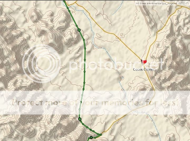
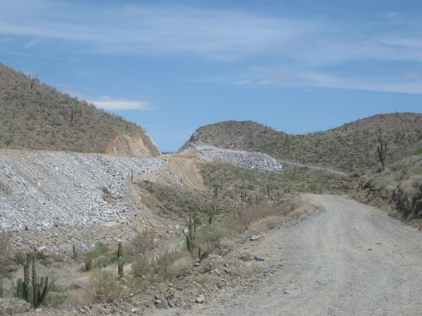
I suspect it's as fixed as it's going to be for several years. Back in something like 2010 the northern part of Mex 1 had several bridges wash out
from winter storms and it took a couple years to replace them. I don't think Mex 5 has that kind of priority. It's a mess for about 30 miles. I
stopped to visit Coco and his theory is they didn't use any real engineers to design it, the politician in charge hired a brother-in-law who didn't
know crap to draw up some plans. After seeing the mess, that's as good a guess as any.
But, you can get through, it's easy, the detours are marked, the hazards are marked, I was coming out of Nevada so it's still a lot quicker. I lost
more time waiting for an arroyo to drain out on hwy 78 between Blythe and Glamis than I did on Mex 5. I left San Felipe at 7:30, spent 30 minutes
with Coco, and had tacos in Bahia de los Angeles at 1pm. And I don't drive fast. |