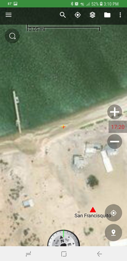
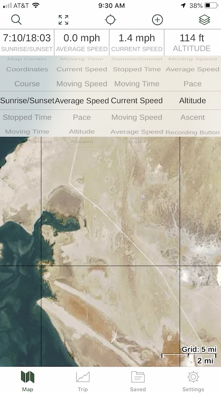
It is a multi-step process and Word is just one of the steps (where I get the lines for the roads, text for place names). The base maps (terrain,
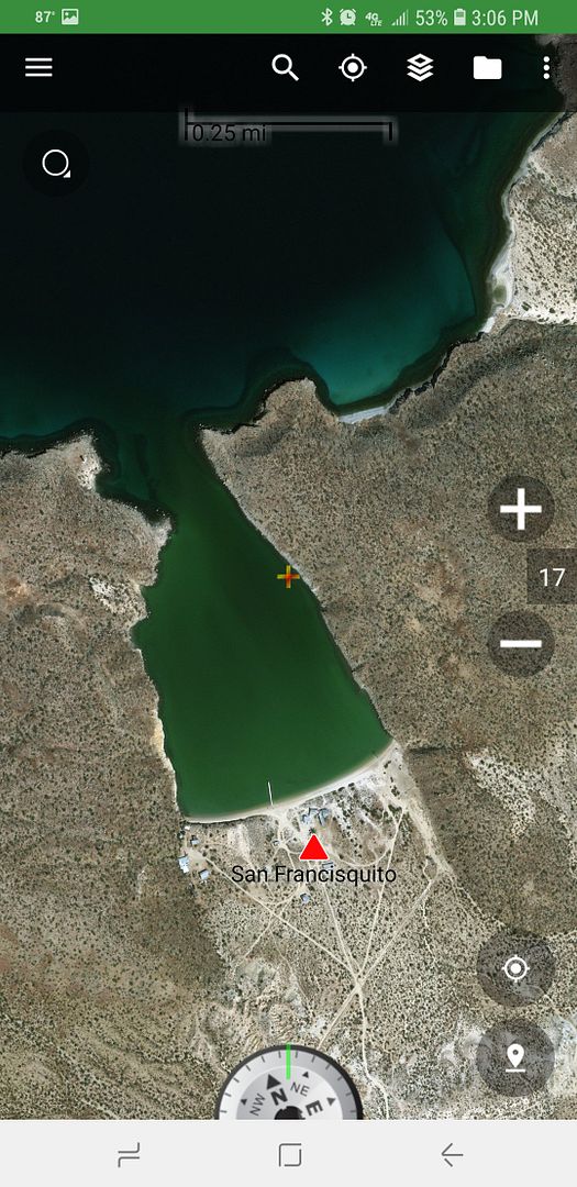
coastline, and just federal highways) is from an Internet map source (ArcGIS). It is one that allows you to flip from terrain map to satellite images.
That is how I am able to correctly show roads I have traveled or mentioned in my guide. I draw the line for a road right over the road as seen from
space. Then I flip to the terrain map to use.
Basically, I had to invent my own method to make maps to show only the things I wanted to show, Google and other maps have wrong names for places in
Baja way too often. I didn't want a map so cluttered with data beyond what is needed to show the roads in my guide that it would be too busy to easily
use. I hope to someday see or help make a new Baja Almanac which would show everything.
What is a program to make maps or vector maps (link please)? |