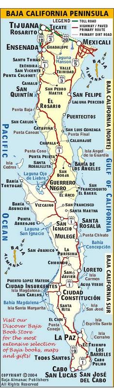
Great idea, but I can't help but chuckle at the idea that the federal paperwork (FMM) has different rules in different states. A state doesn't control
a federal law. What if she gets them in Sonora but returns to the U.S. from Baja California?
I like the idea of doing what the officer who issues them says to me. At Mexicali West, Tecate, and Tijuana the last word was the 180-day ones can be
tossed when you are done with your trip or when they expire but the 7-day free one is to be returned (as that proves you didn't overstay the free
period).
When questioned on do you really need to return the 7-Day one, the officer said well, you should... but they won't know different if you throw it
away, too!
Now, returning them wouldn't be so big a deal if there was a drive up kiosk or a can, to drop them off from the border traffic line, going north. It
is nearly impossible to get near the INM office (which is at the southbound lanes) reasonably, then drive way back out to where the end of the
northbound line is. Just finding your way in Tijuana or Mexicali is daunting. Tecate isn't so bad and I returned my free 7-Day one at Tecate the one
time I used that FMM. I detailed how to, here on Nomad, using satellite images. |


 we've
been chased out of gonzaga by bitter cold more than once in january to find milder conditions on the pacific side and Ensenada is a really nice town
with something for everyone.
we've
been chased out of gonzaga by bitter cold more than once in january to find milder conditions on the pacific side and Ensenada is a really nice town
with something for everyone.

 ...
... 