Sharing known tracks can offer folks an idea of where they could go, based on where someone else has gone before.....and is a frequent practice. This
is often a good thing.
My own recent Baja riding (past three years) has been based on looking at maps and GE for areas that interest me...often off the beaten tracks of
Lizard Lady and recent ADVrider trip report routes.....(which seem to form some Holy Grail of where to ride....which leads to folks "bagging peaks"
[old climber's reference]).
Nothing wrong or bad about that, but leads to thinking inside the box of always following a recipe.
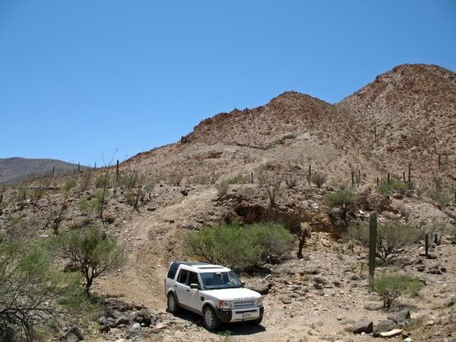
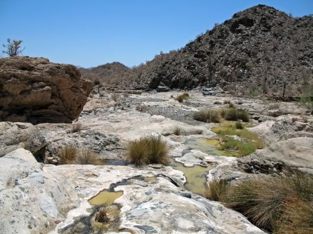
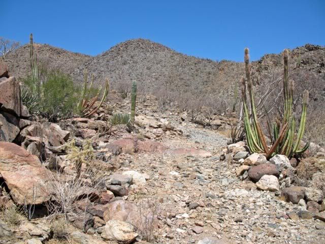
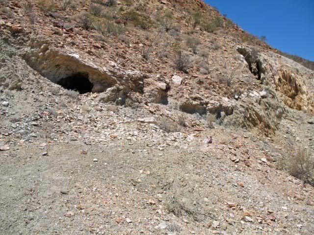
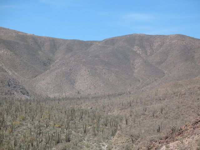
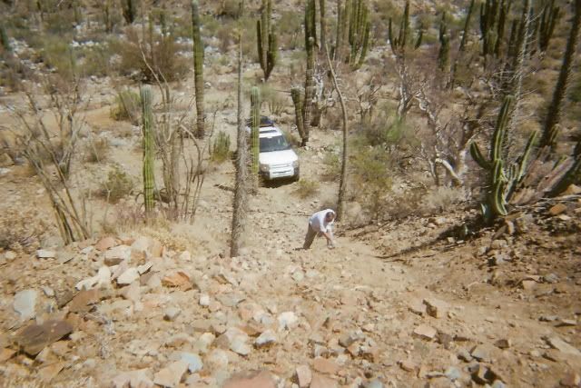
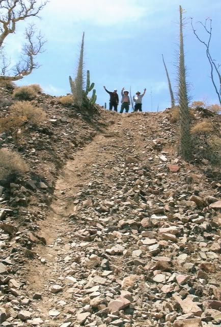
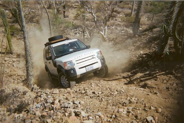
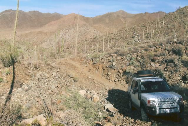
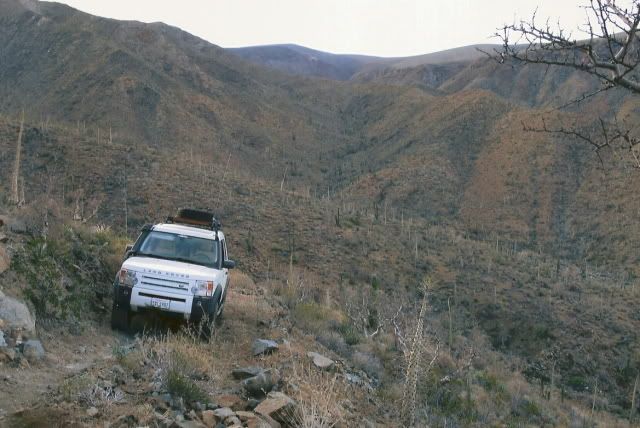
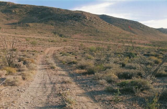
My riding/exploring pleasure these days is found by following arroyos until I can't, following a set of tire tracks that could be a week or many
years old....just to see where it goes. I like to find loops to ride, but have no problem riding back out on same track/route....
This has taken me places where no one has ever ridden before or to places that others will likely never see...
....And then open up your curiousity for an area and go explore it....you don't always need to be spoon-fed where to go to enjoy Baja.....or anywhere
else.
Enjoy the popular routes...encounter others doing the same...and have fun doing that. If a person's time in Baja is limited or one is less comfortable
going off the popular routes, sharing popular routes is a great intro to Baja....
I enjoy the "track less traveled"....
YMMV  |