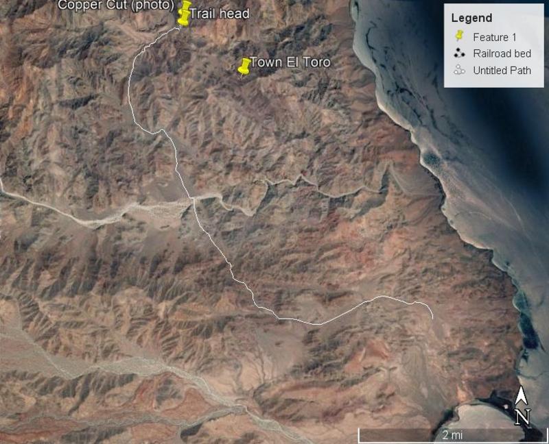
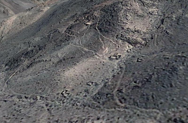
| Your photo of the cut is where you would park your vehicle and start walking in a southerly direction (following a trail) about a mile or so and then
you would see the tailings of the mine and some remnants of rock structures. That is where the shaft is. At the entrance to the mine the walls are
covered in green crystals, really pretty. The road up to the cut where your photo was taken is now washed out so you have to park a little farther
away from the trailhead to the mine. Once in the mine and back in a few hundred yards you go under some timbers wedged in to hold up the roof of the
mine and just knowing that the timbers are a hundred years old or so makes me wonder how smart it is to be bumbling around in there.
|