


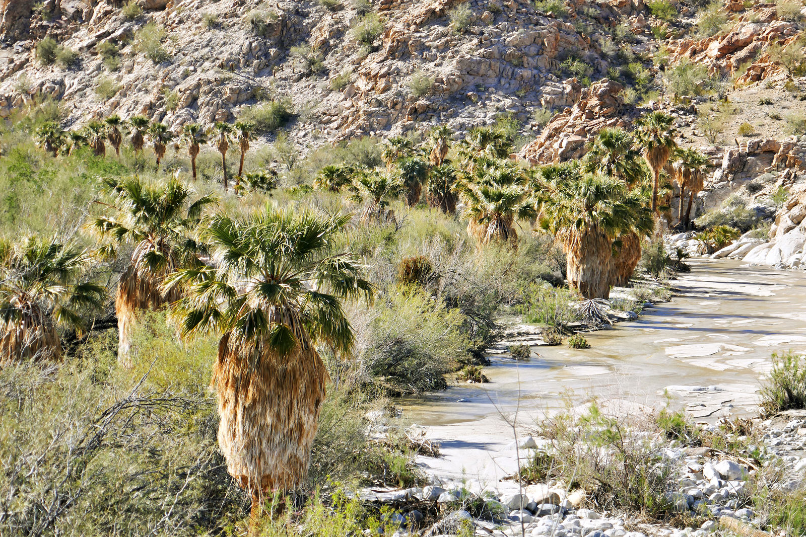

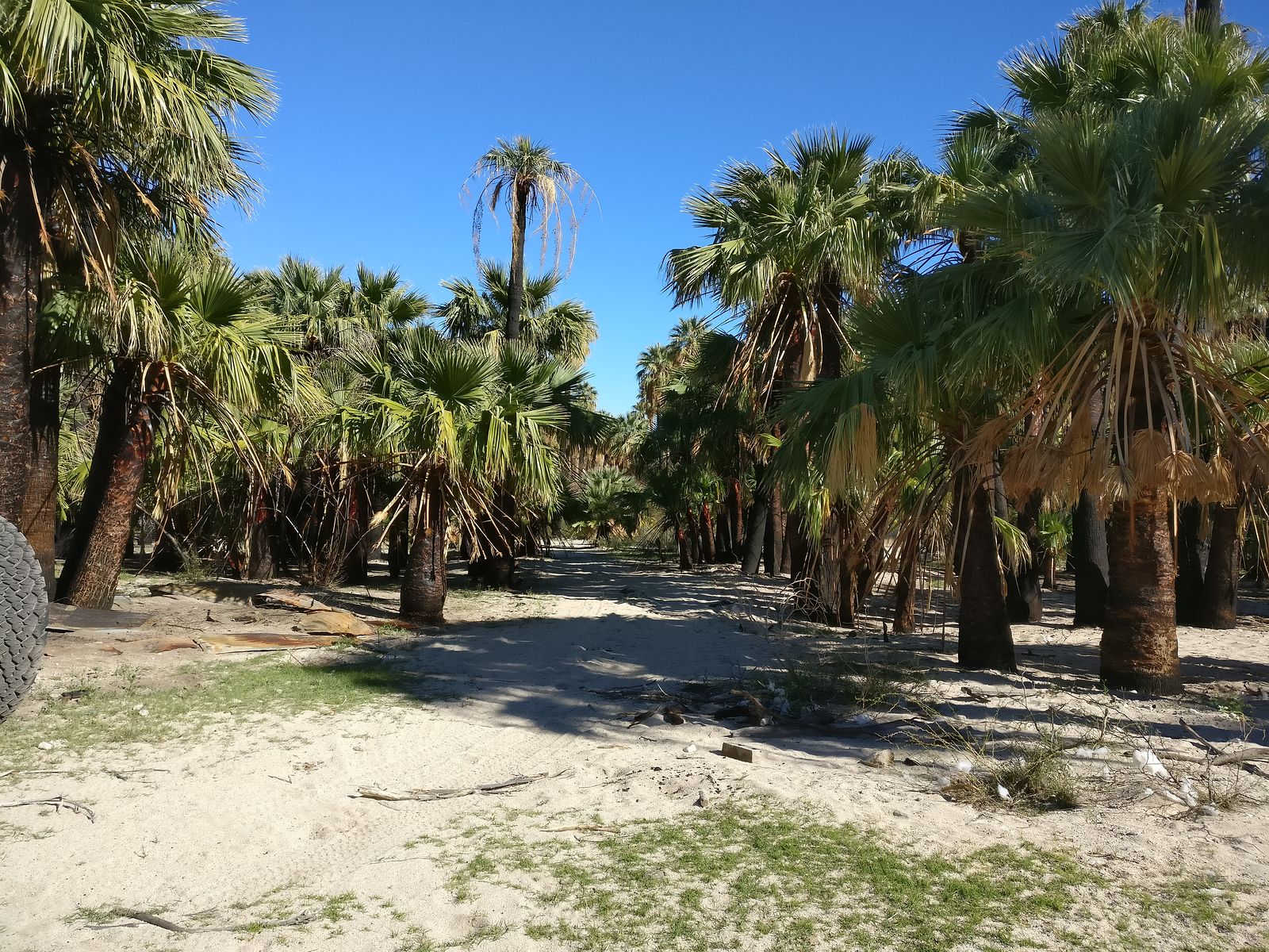


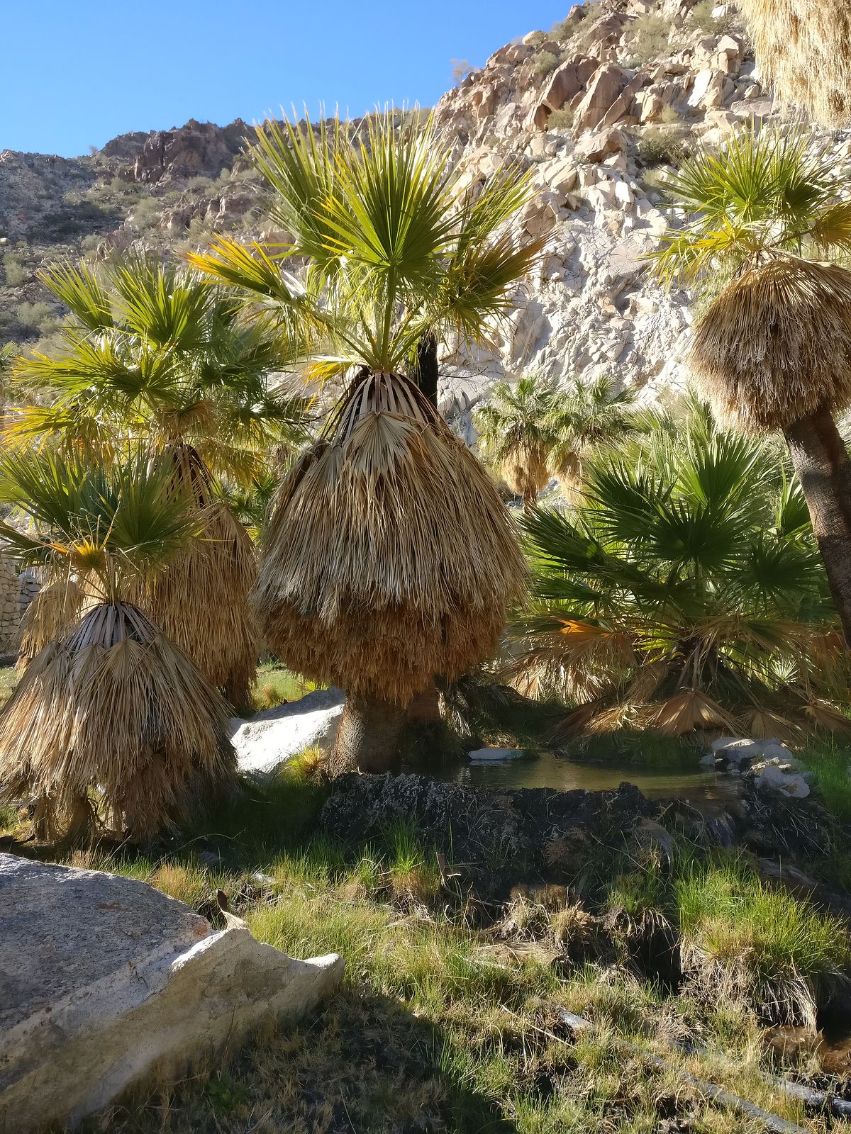


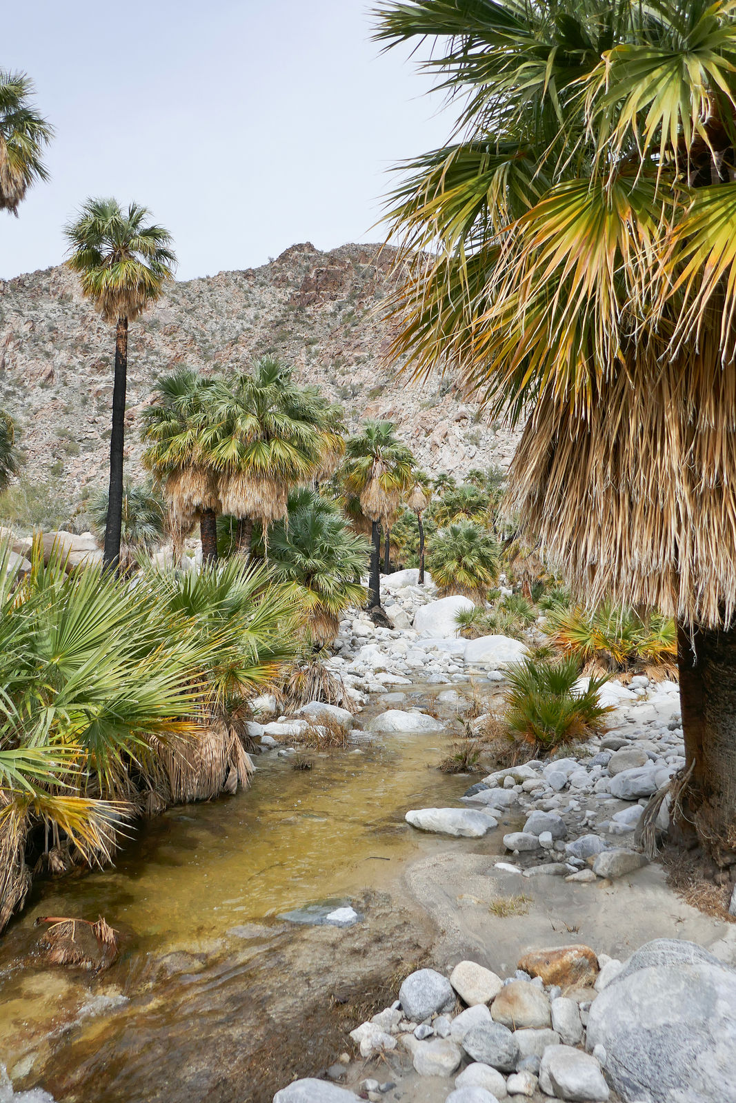

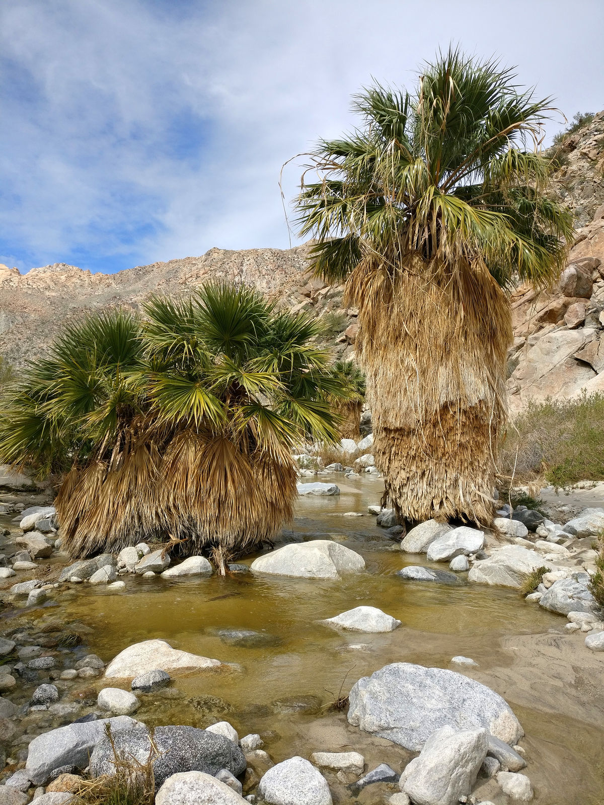

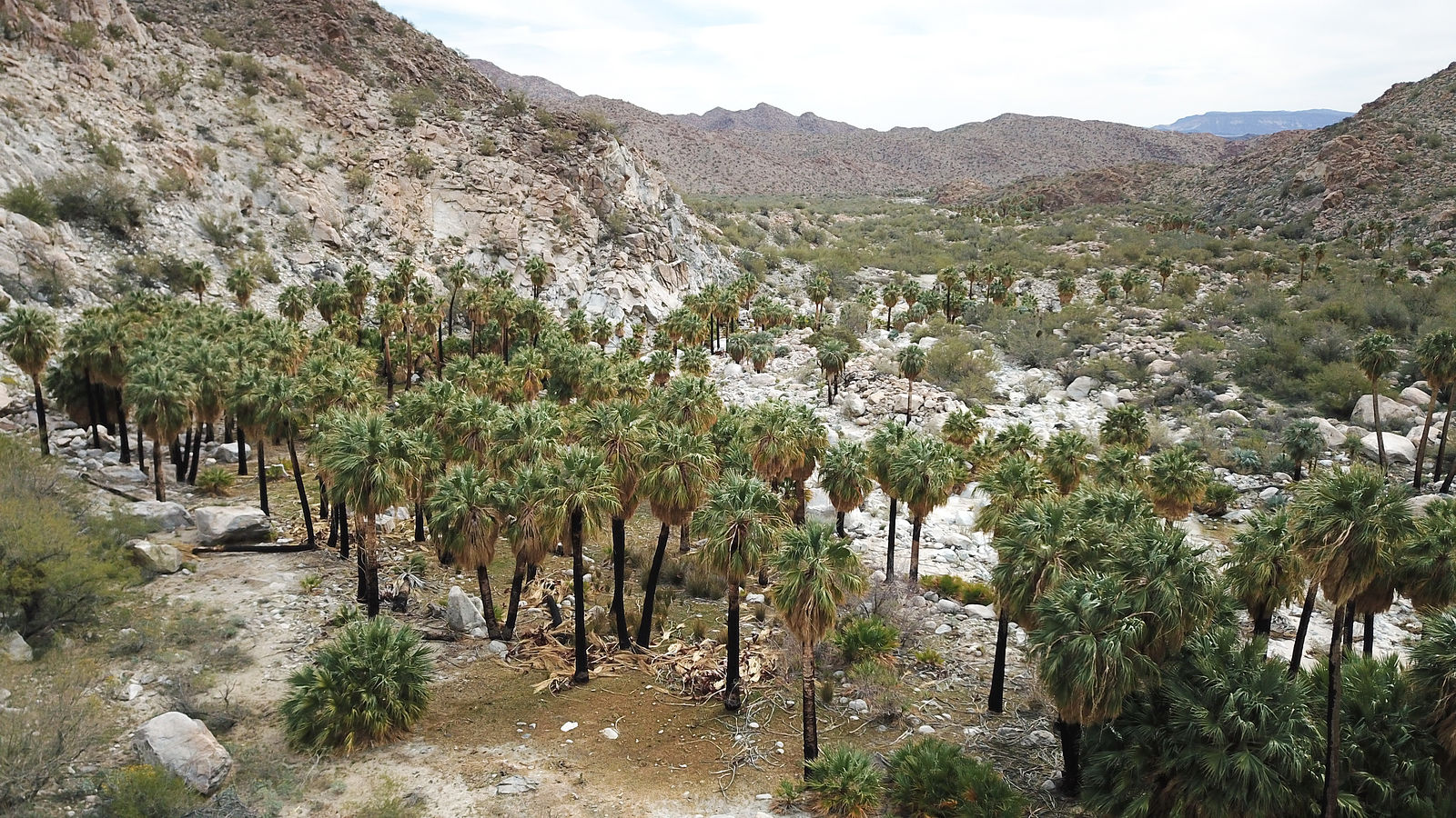


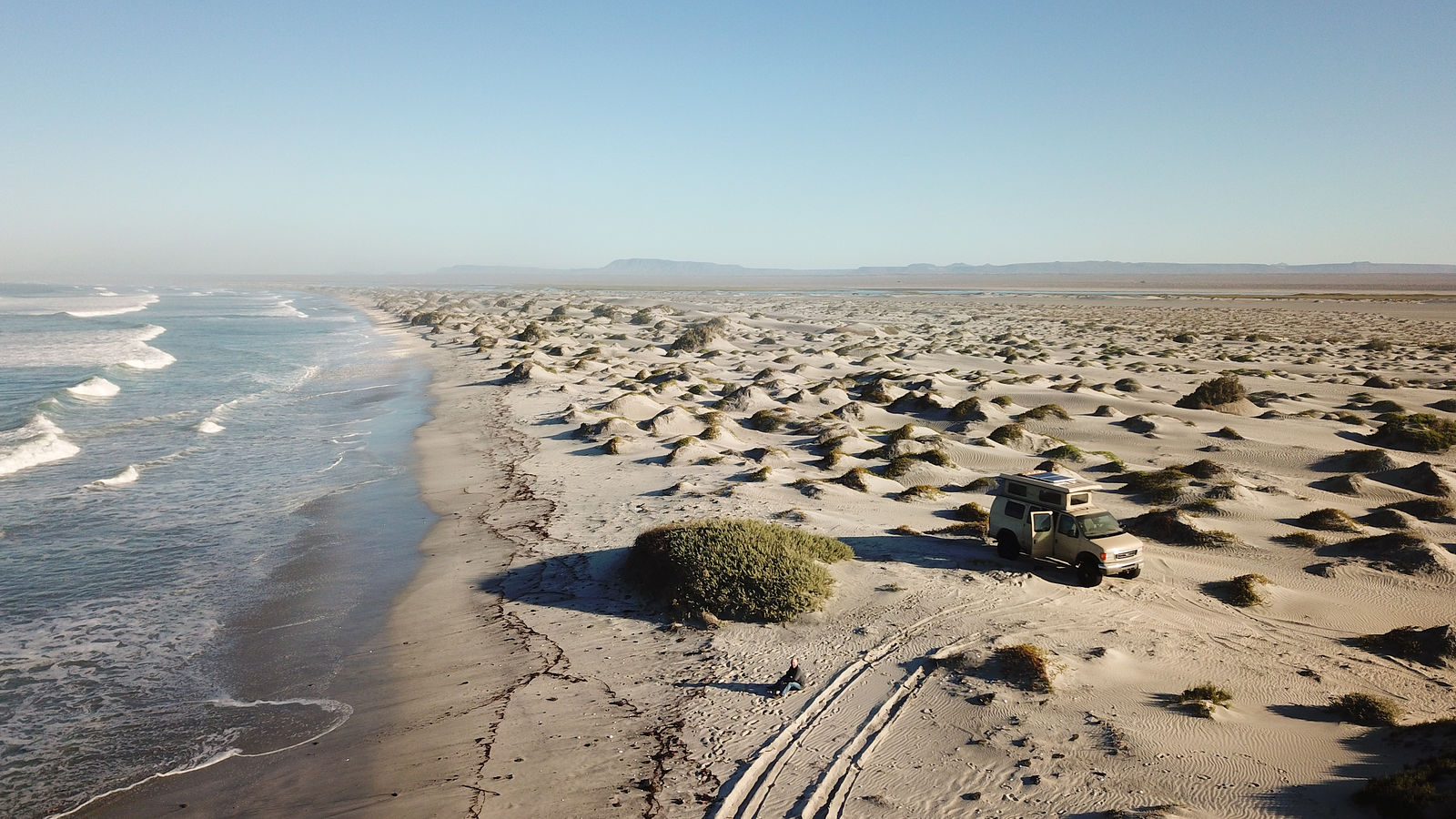
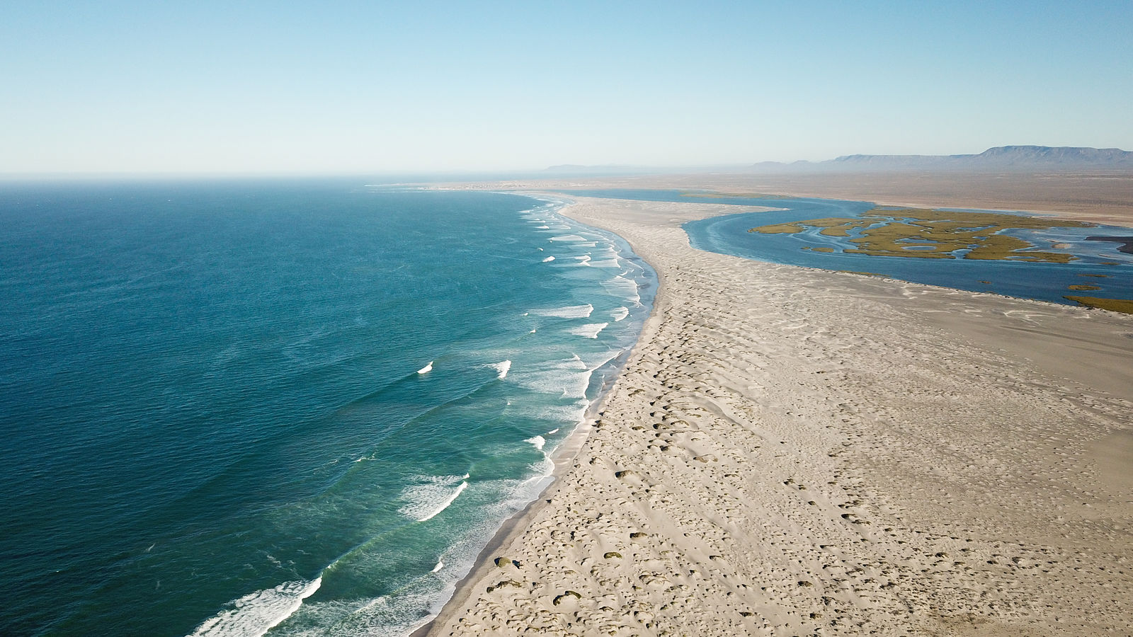


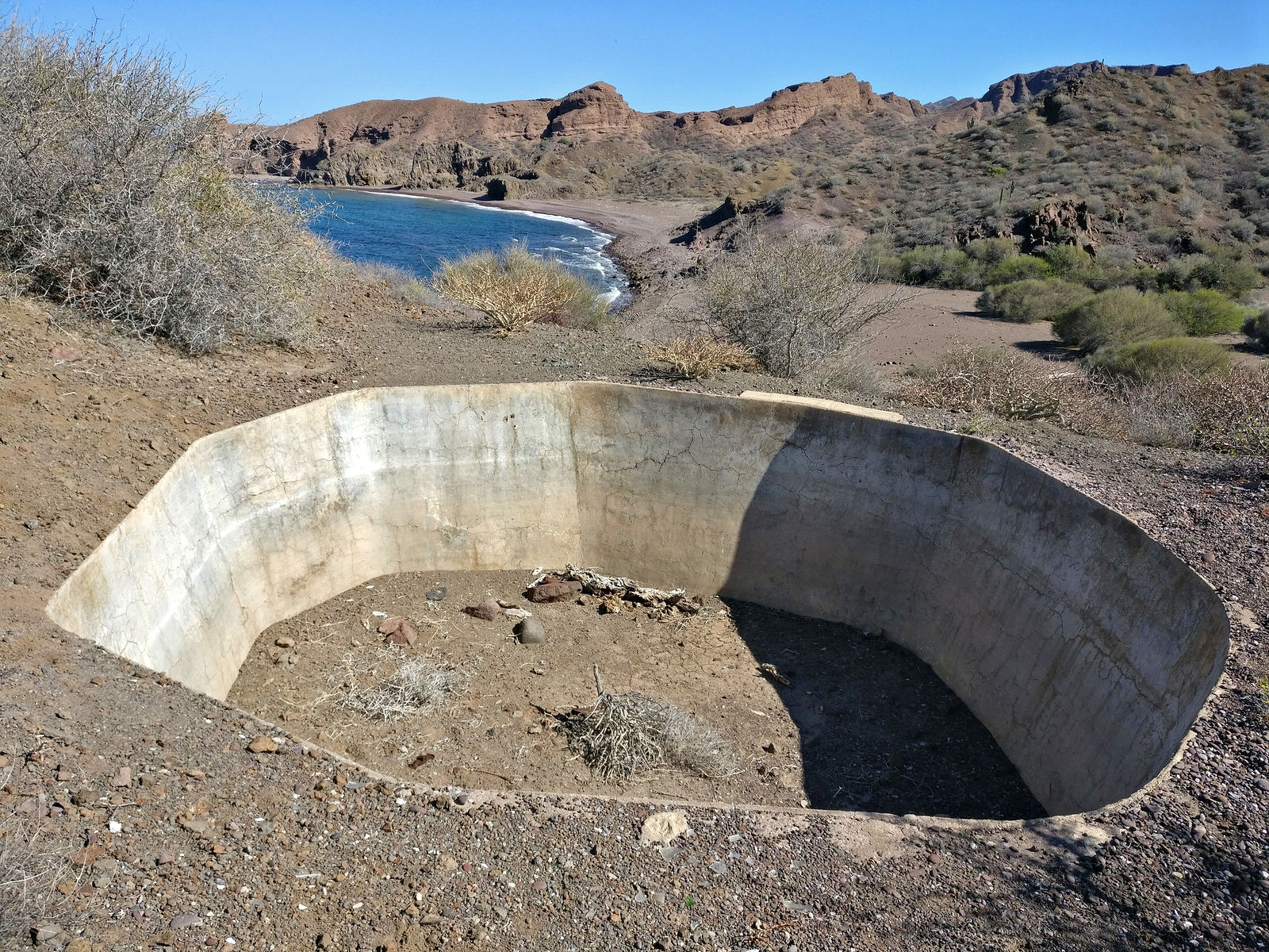
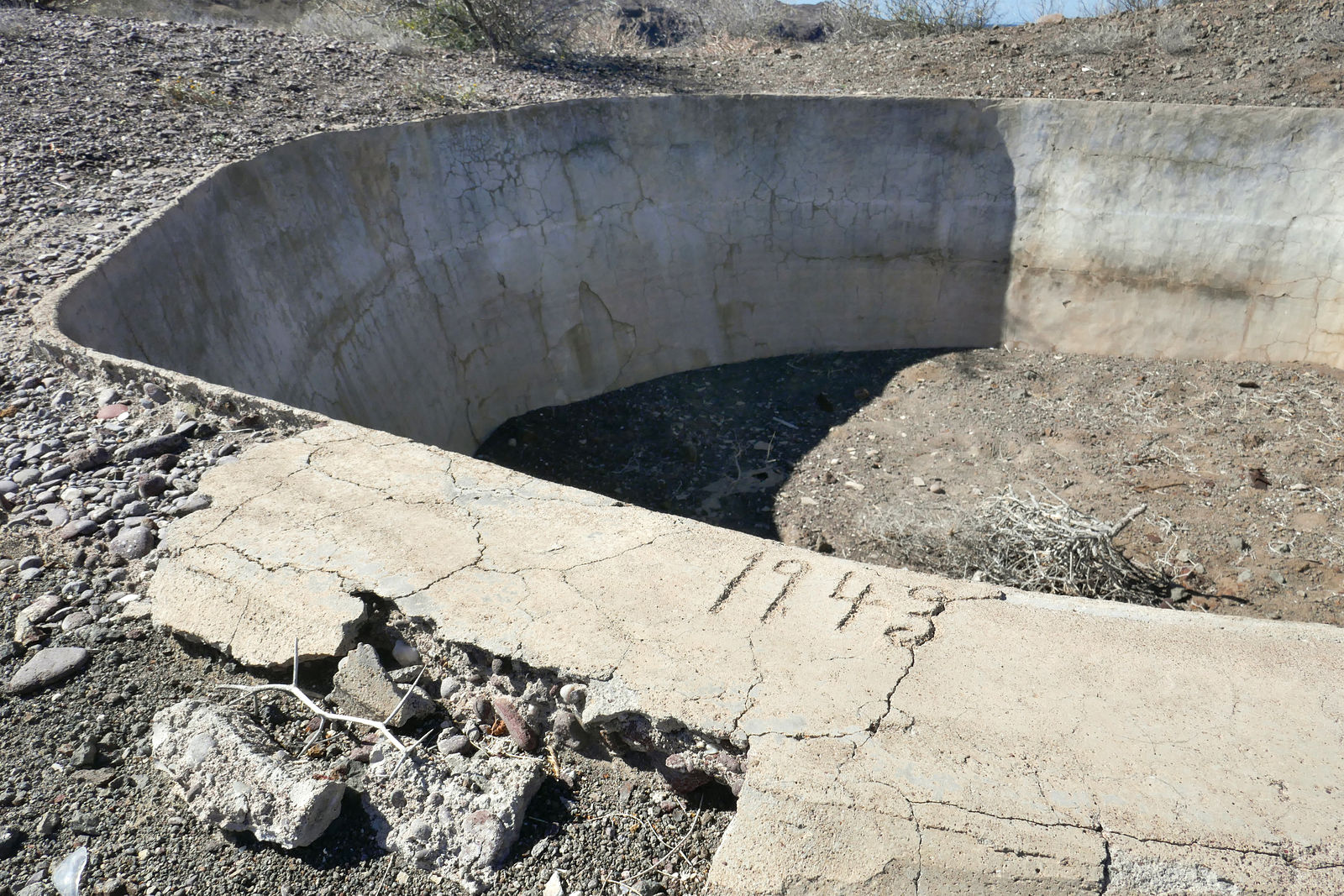


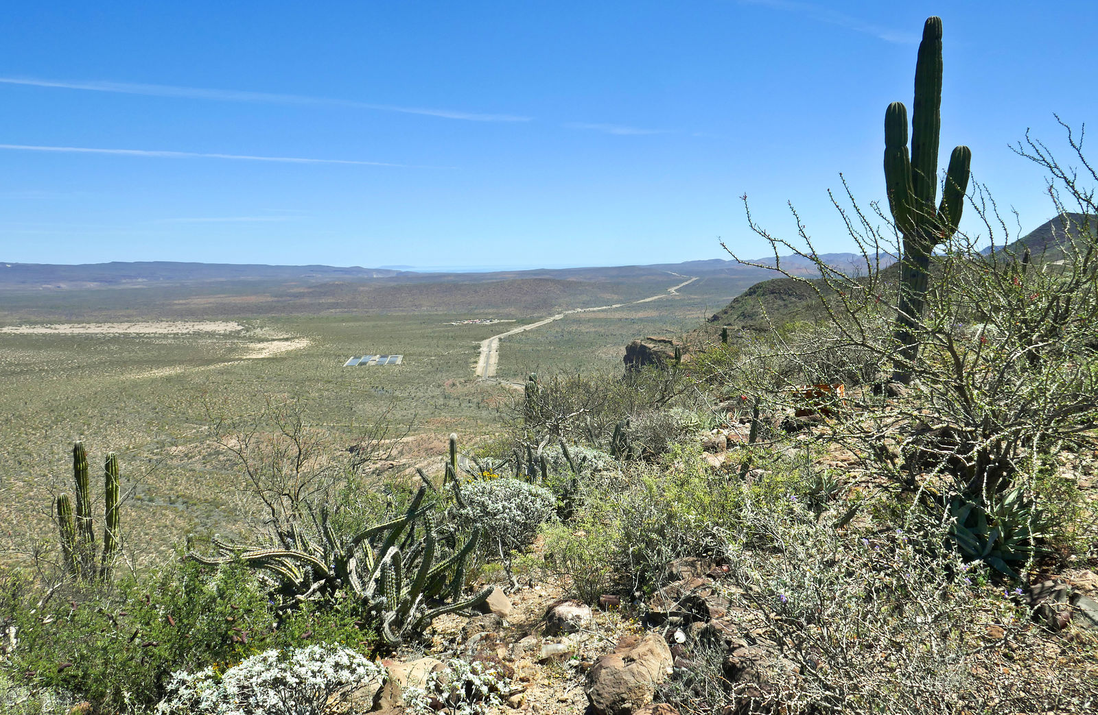


Quote: Originally posted by BajaBlanca  |
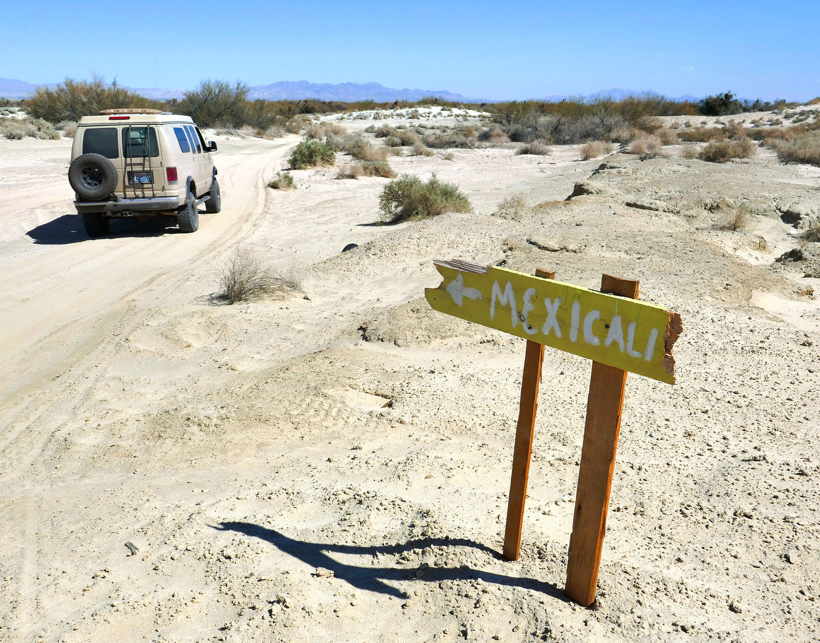
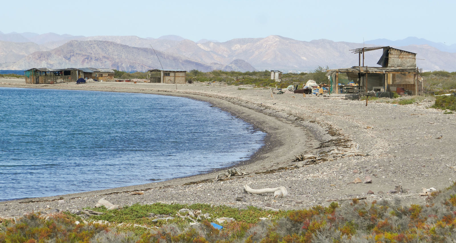
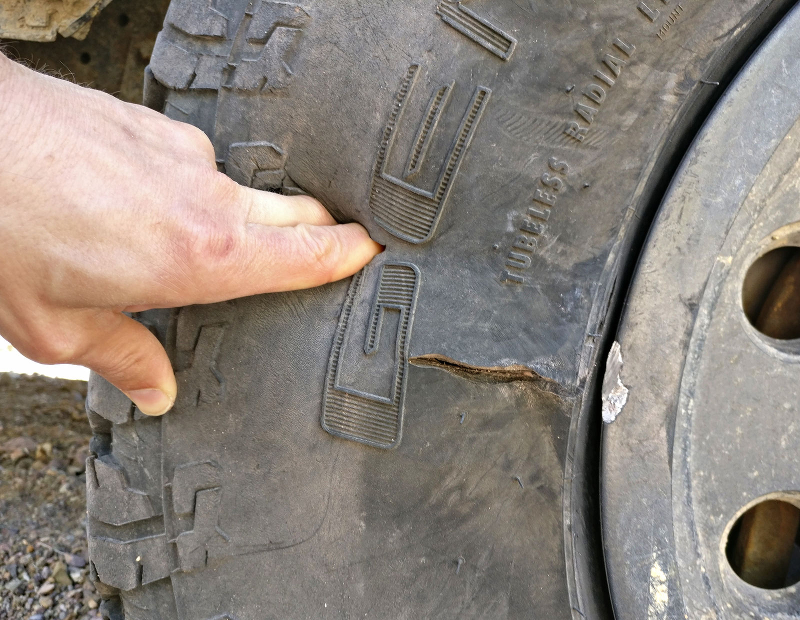
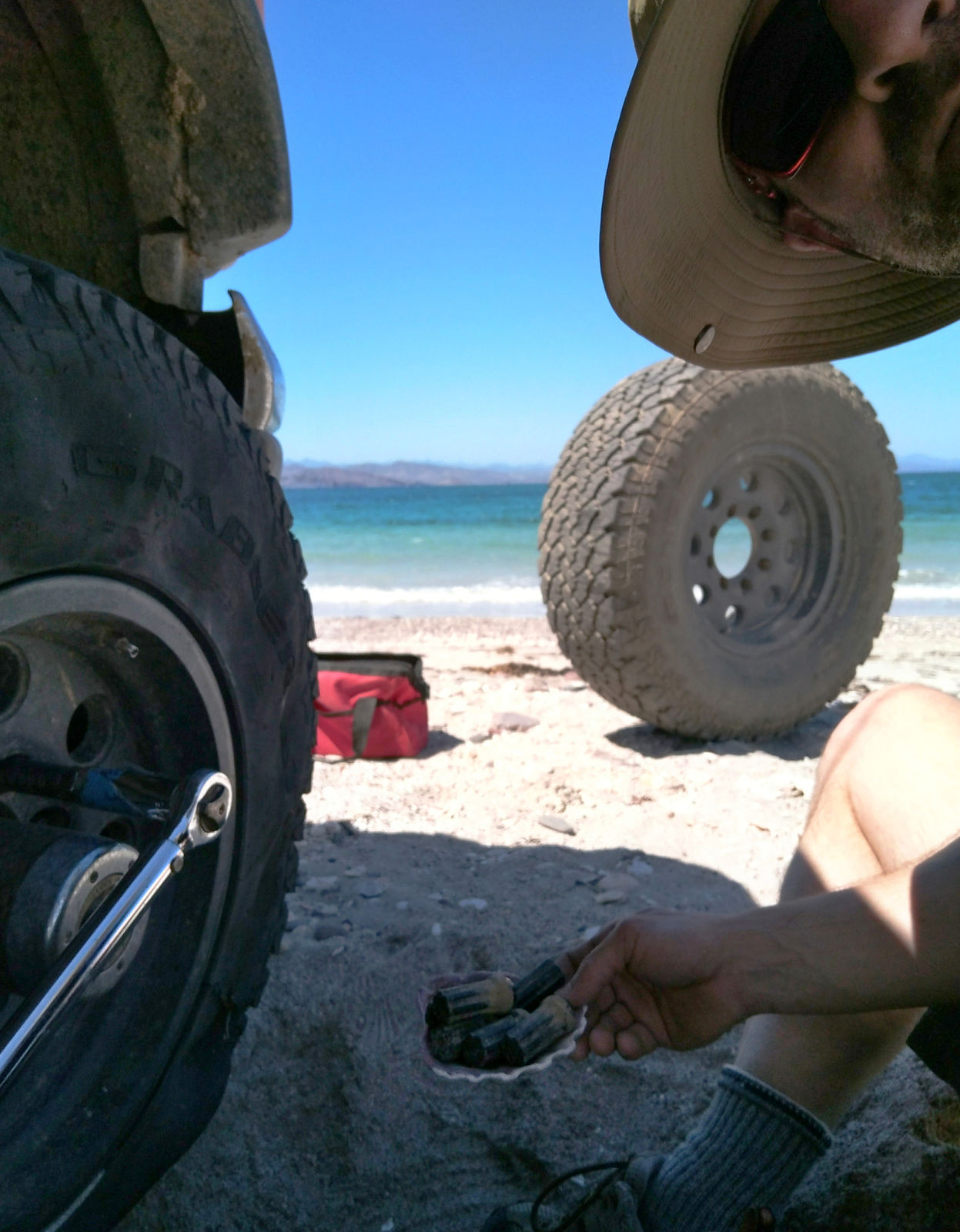
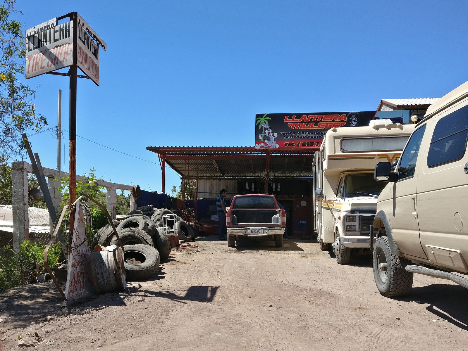
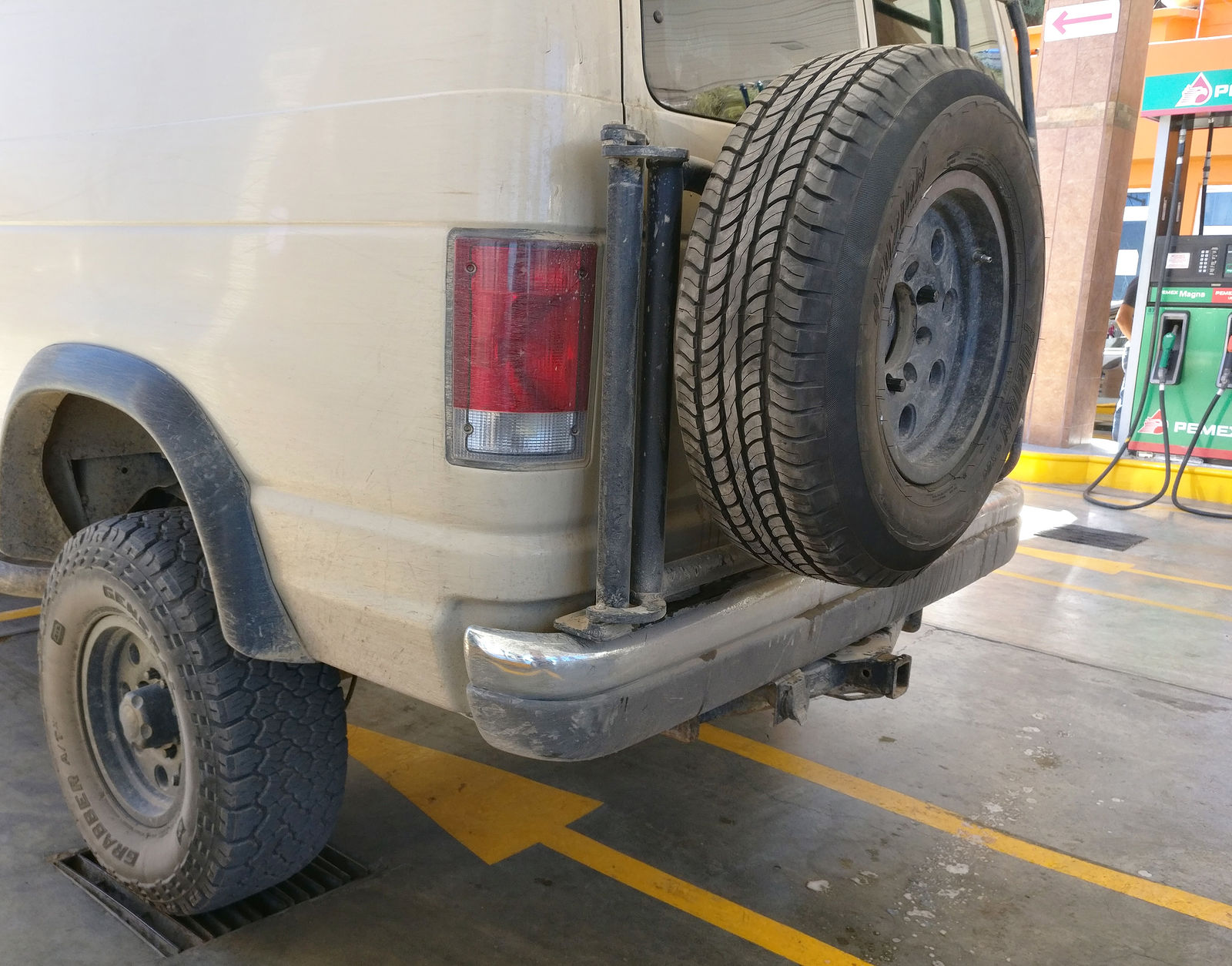
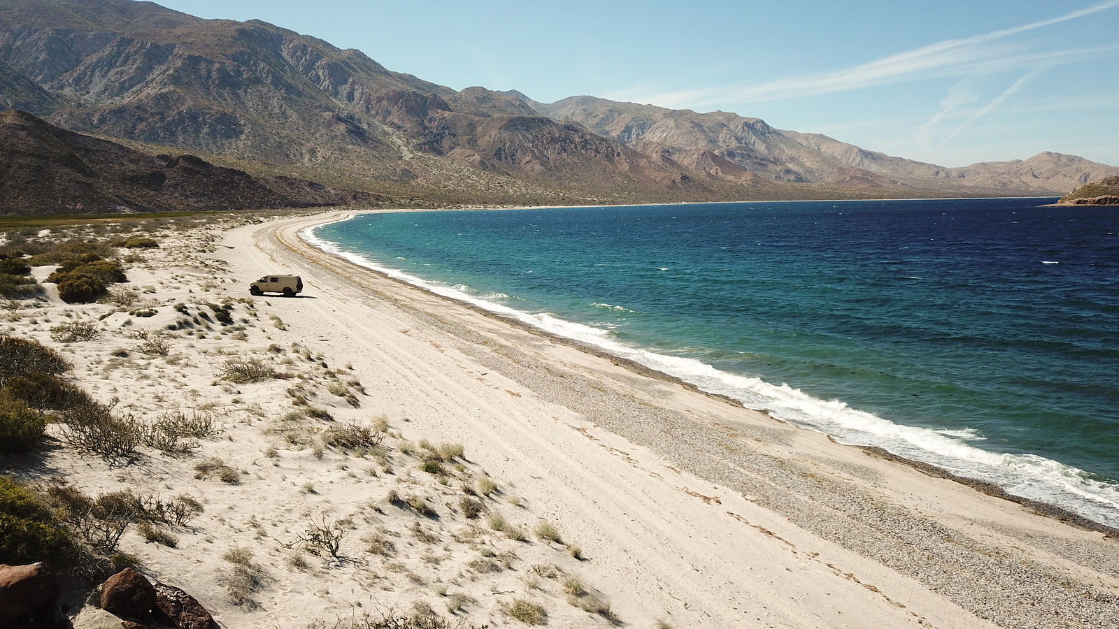
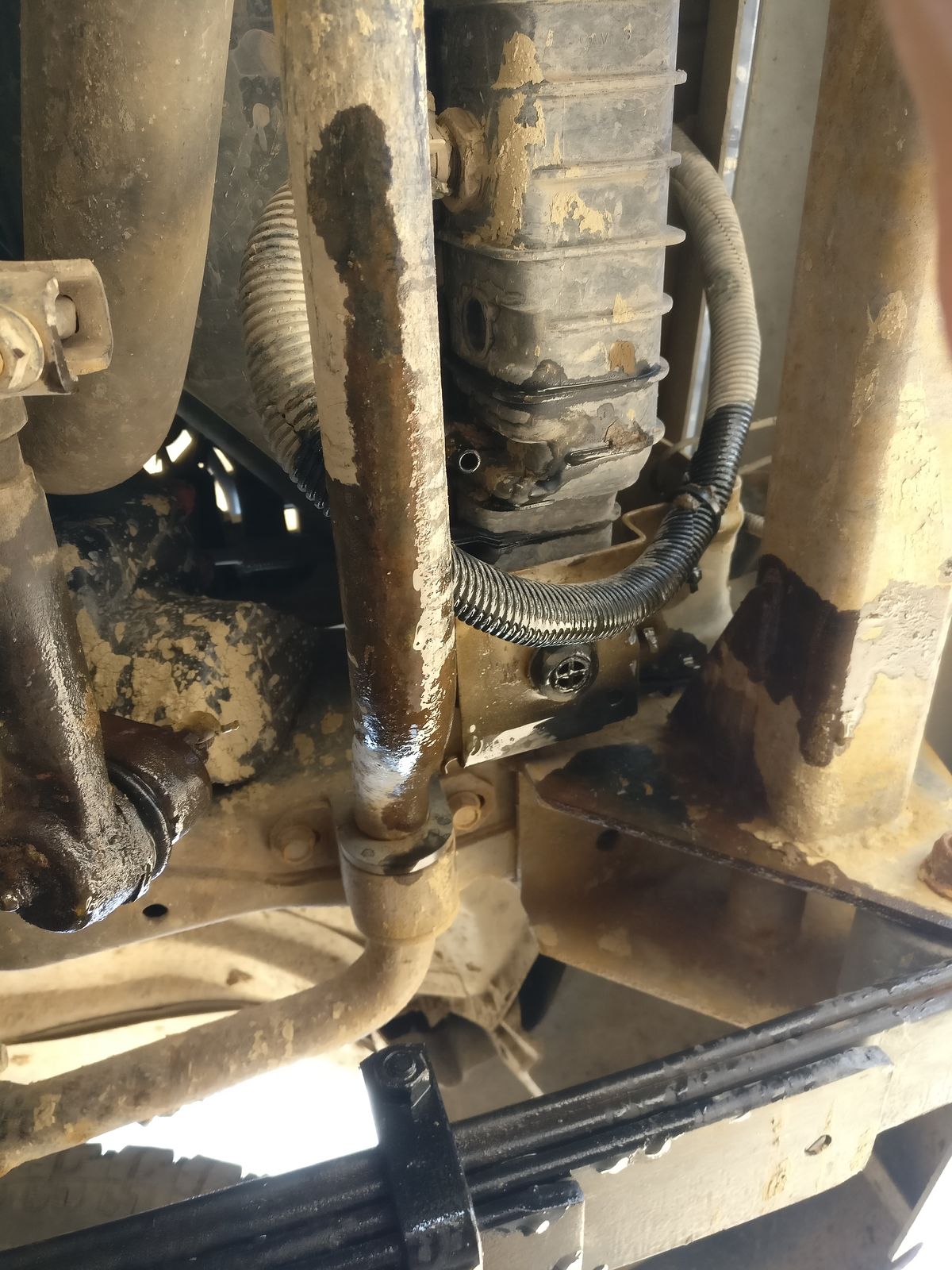
 I managed to delay my car trouble for an
extra week this time.
I managed to delay my car trouble for an
extra week this time.| Quote: Originally posted by David K |


| Quote: |
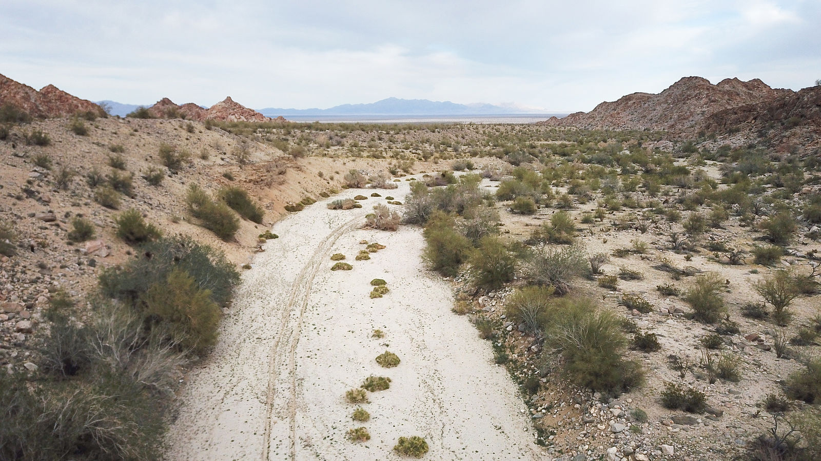
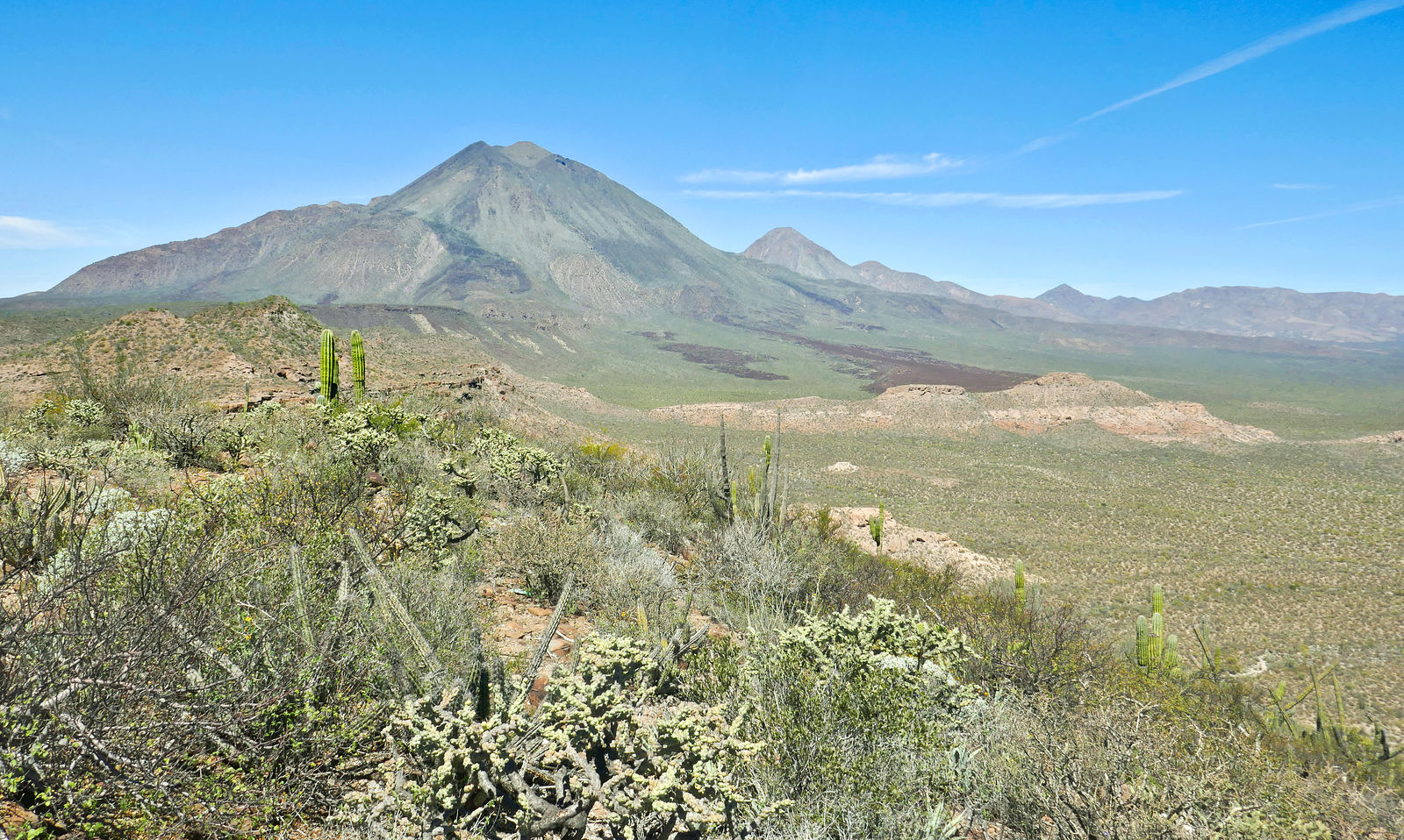
| Quote: Originally posted by Lee |
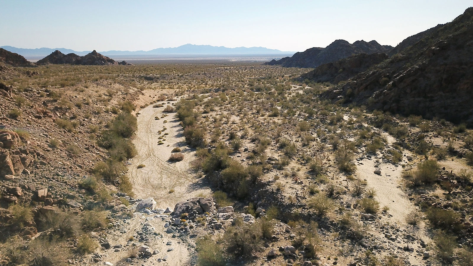
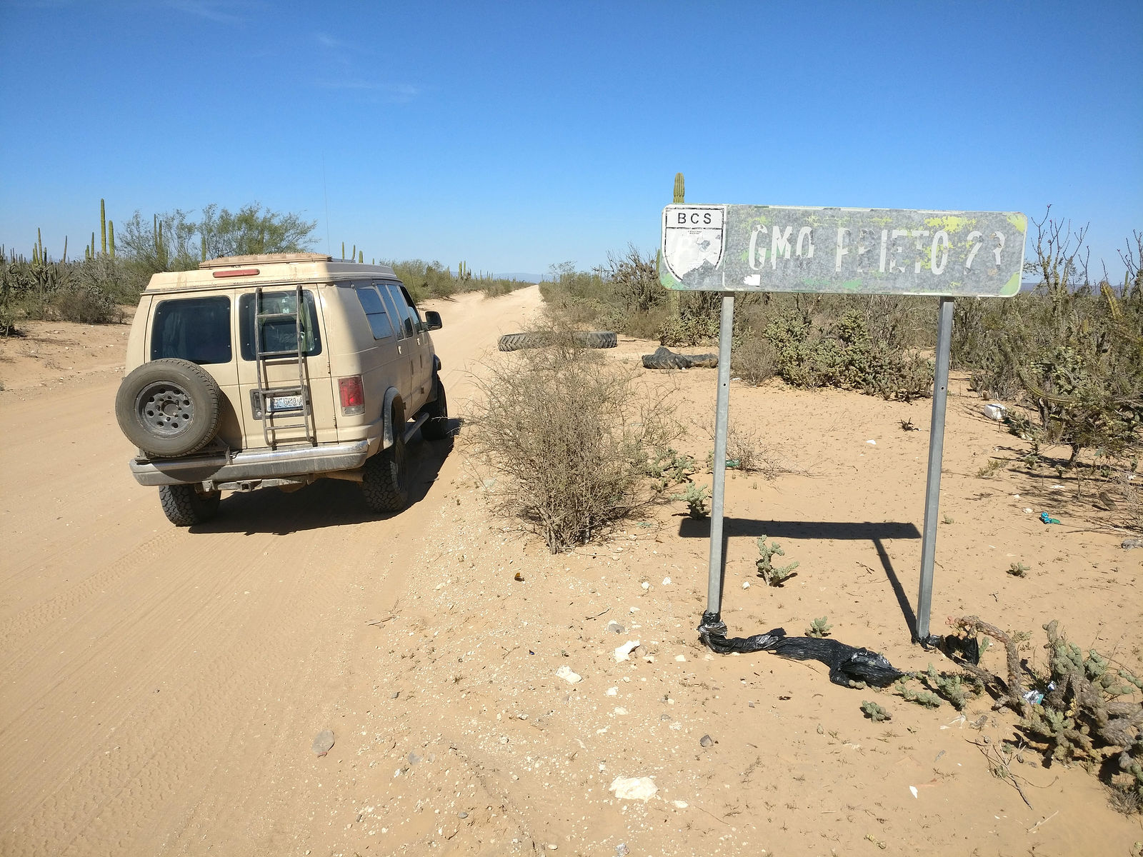
| Quote: Originally posted by geoffff |
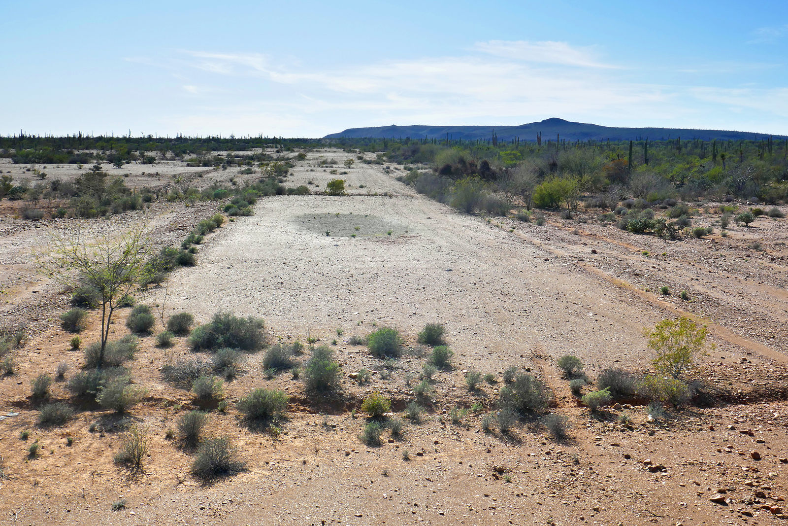
| Quote: Originally posted by matthew_mangus |

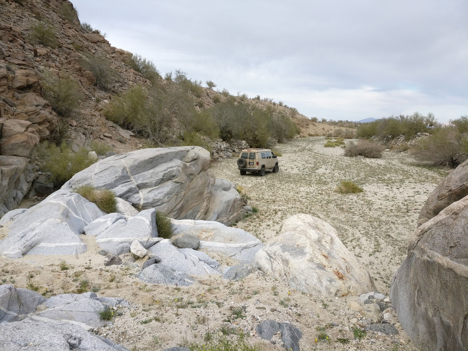
| Quote: Originally posted by David K |

| Quote: Originally posted by 4x4abc |