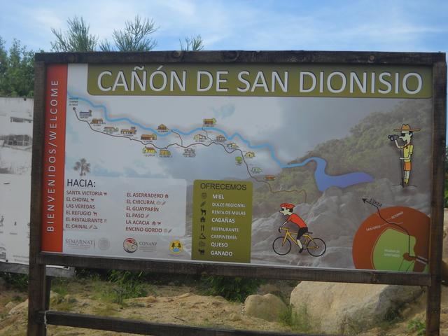
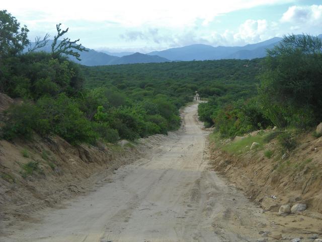
1) The Los Naranjos road crosses the sierra from just north of San José del Cabo over to the Pacific side, Km. 54.5. The north side of San José del
Cabo is Km. 32. It is often washed out during storms.
2) Ramal a San Antonio de la Sierra, is a graded road at Km. 147 (about 12 miles past San Bartolo) that goes way back into the hills above Los
Barriles.
|