BajaNomad

Any one on here ever boated around Cape Coral, Sanibel, Captiva in Florida?

JZ - 8-3-2019 at 08:02 PM

Attending a conference there in 2 weeks and taking my two sons.

Rented a small center console for 4 days. The hotel we are staying at has a marina, so slipping it there.

Anyone have boating experience in the area? Been once before about 5-6 years ago. Studying Google Earth and the charts.

Anyone know the area?


[Edited on 8-4-2019 by JZ]

rdrrm8e - 8-5-2019 at 12:54 PM

Try this board:

https://www.bdoutdoors.com/forums/forum/florida-sport-fishin...

JZ - 8-5-2019 at 01:51 PM

Thanks. I posted it on the Hull Truth. Got about a dozen good replies from dudes very familiar with the area.

Mapped out about 20 way points. Boating there is so different from the SoC. Super shallow water and you need to stay in the defined channels.

Navontics has the auto-route feature. I've used it a bit in Baja, but it's not really needed there. For FL it's like having Google Maps for your boat. It maps complex routes perfectly. Between islands, always following the channel markers.

Was playing with it a lot last night. Can do things like, take me from the Green Flash dockside restaurant/bar to my Hotel/marina 30 miles away through a patch of super skinny water.

I also set a bunch of way points for docks to run to if an afternoon thunderstorm kicks up.


[Edited on 8-6-2019 by JZ]

mtgoat666 - 8-5-2019 at 03:54 PM

Quote: Originally posted by JZ  
I posted it on the Hull Truth. Got about a dozen good replies from dudes very familiar with the area.

Mapped out about 20 way points. Boating there is so different from the SoC. Super shallow water and you need to stay in the defined channels.

Navontics has the auto-route feature. I've used it a bit in Baja, but it's not really needed there. For FL it's like having Google Maps for your boat. It maps complex routes perfectly. Between islands, always following the channel markers.

Was playing with it a lot last night. Can do things like, take me from the Green Flash dockside restaurant/bar to my Hotel/marina 30 miles away through a patch of super skinny water.

Also set way points for a bunch of docks to run to if an afternoon thunderstorm kicks up.


Jizz,
Just throw away your compass and paper charts, your smart phone will never fail you. Map and compass navigation is for old people. Don’t even bother with vhf, I am sure your phone is more than enough to call mom if you get in trouble, or your phone dies.

JZ - 8-5-2019 at 04:13 PM

Quote: Originally posted by mtgoat666  


Jizz,
Just throw away your compass and paper charts, your smart phone will never fail you. Map and compass navigation is for old people. Don’t even bother with vhf, I am sure your phone is more than enough to call mom if you get in trouble, or your phone dies.


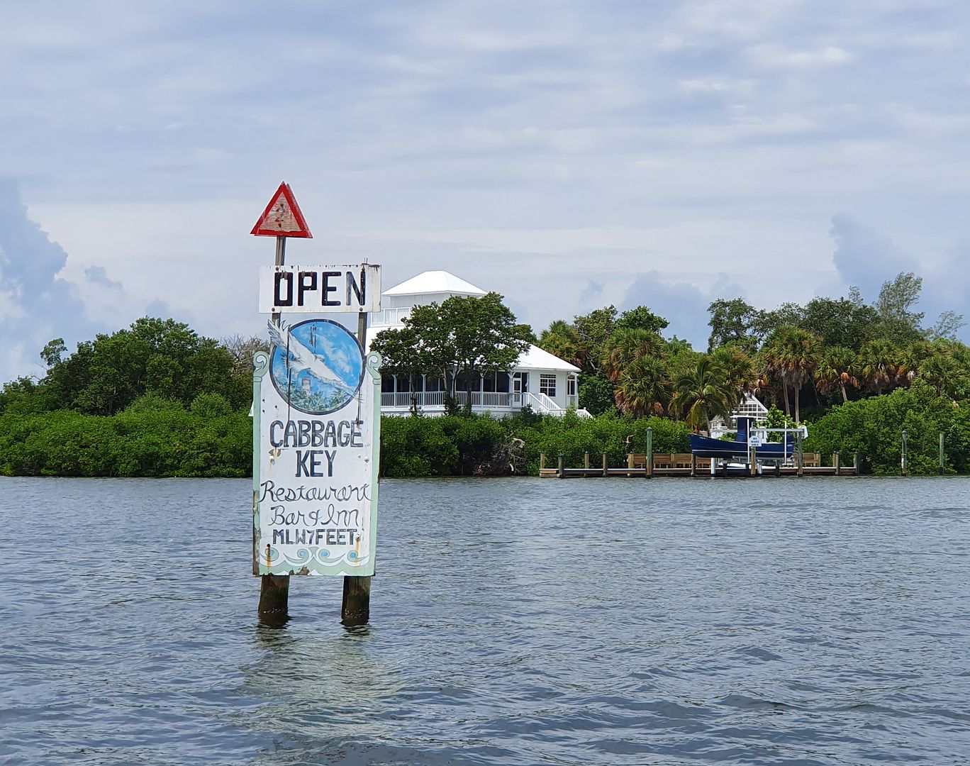
PM me your WhatsApp info. I'll shoot you some drone pics and maybe a video from high above Cayo Costa or Cabbage Key.


[Edited on 8-6-2019 by JZ]

JZ - 8-18-2019 at 12:45 PM

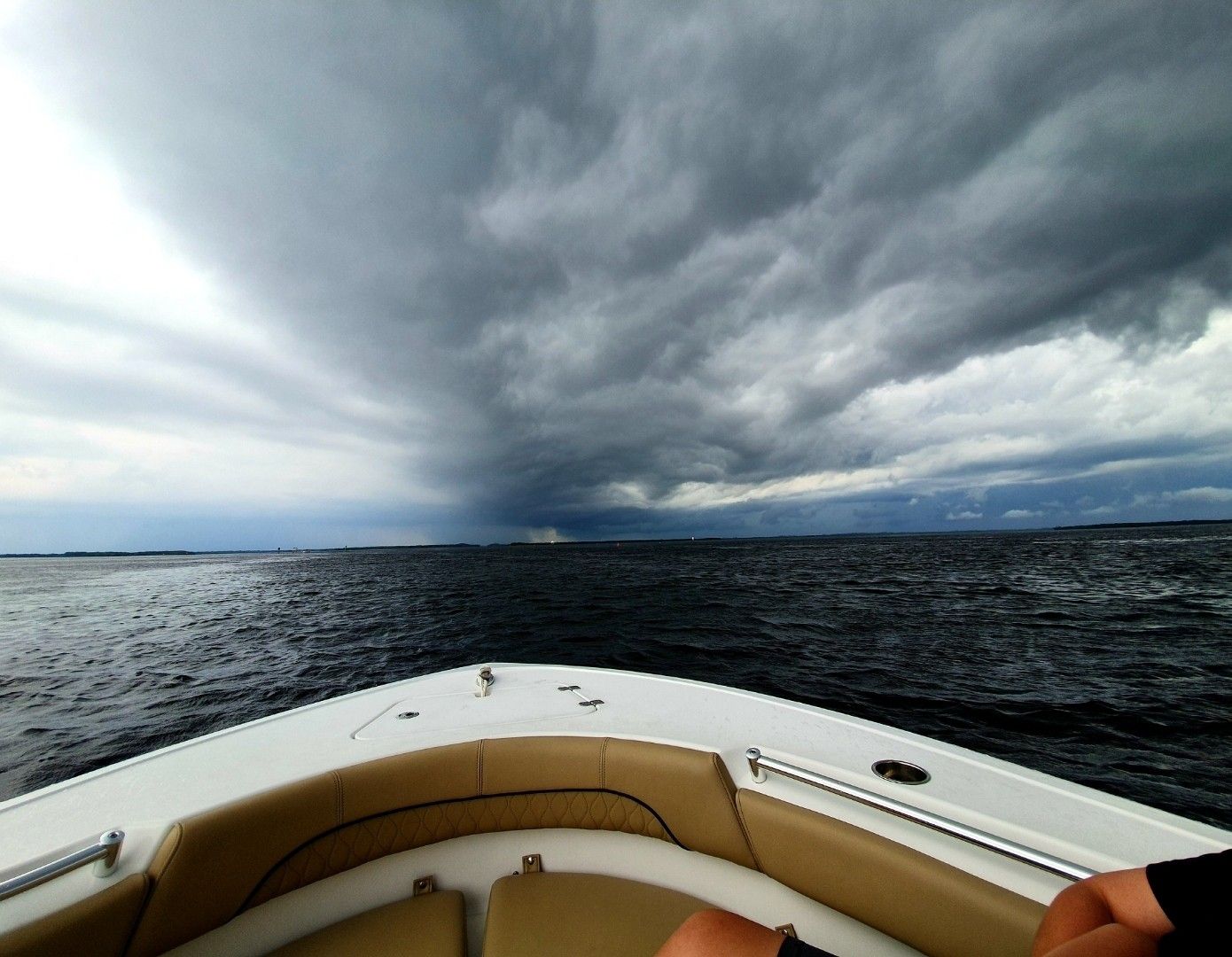
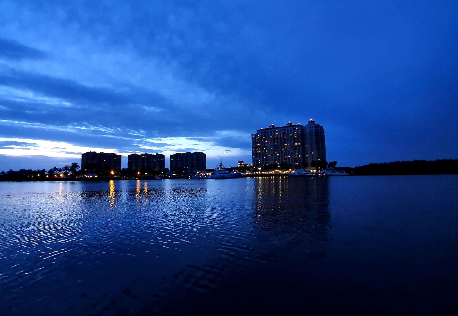
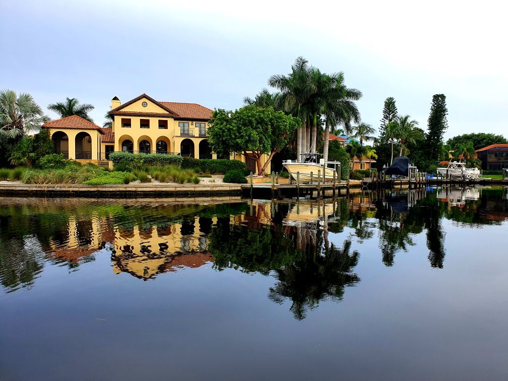
A couple shots from the area.