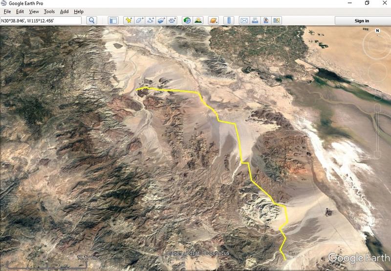
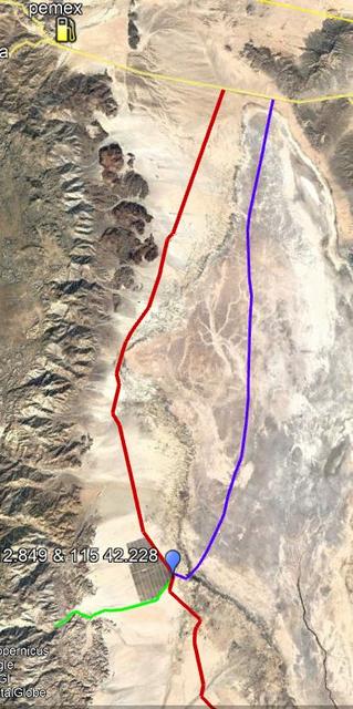
The road from Hwy 2 to Cahabusco wont likely require 4WD.
Palomar is questionable as it is tough in good times before the rains.
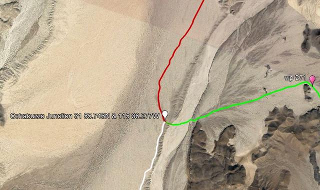
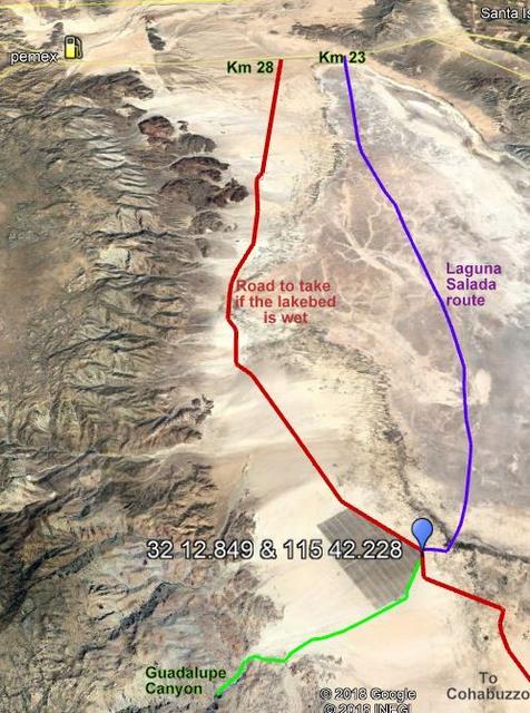
The travel from Cahabuzo to the lake bed will be very slow for your rig due to the whoops and washboard from racing.
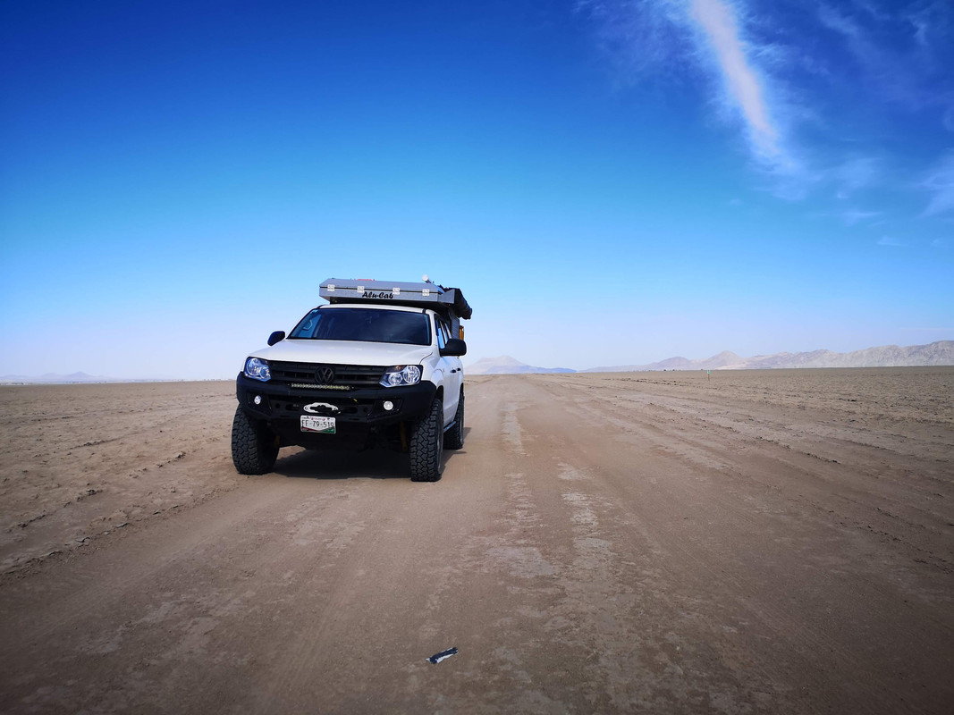
Last few days there has been heavy rain just east of the mountains including the lake bed. This means the conditions on the lake bed are unknown.
Maybe the soft sand will be hard - maybe you will find deep mud?
Summary, this time of year your trip is problematic. |