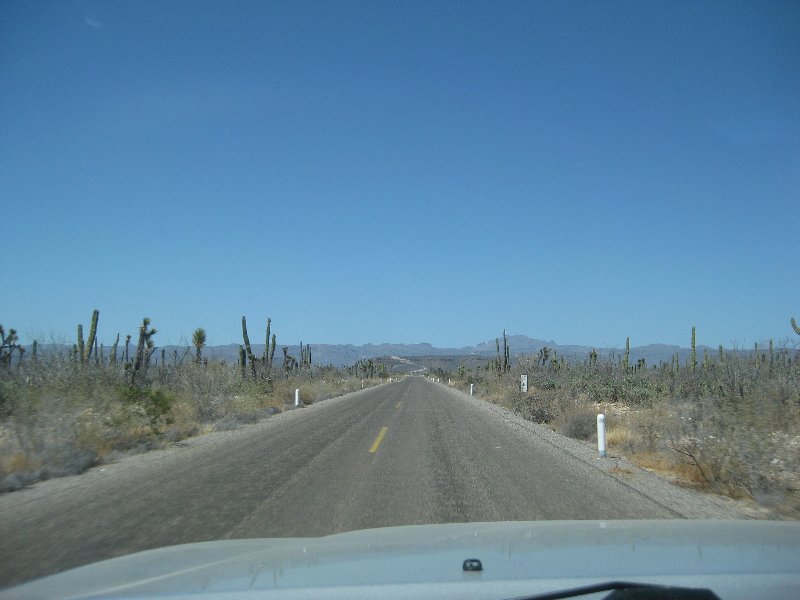
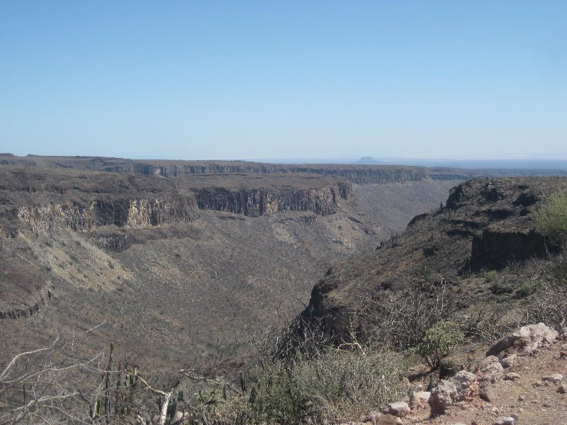
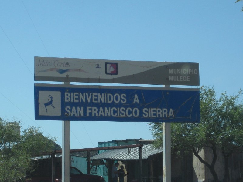
DK - the couple in front of the San Fran Sierra sign -- the canyon vista,
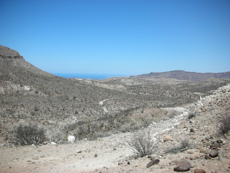
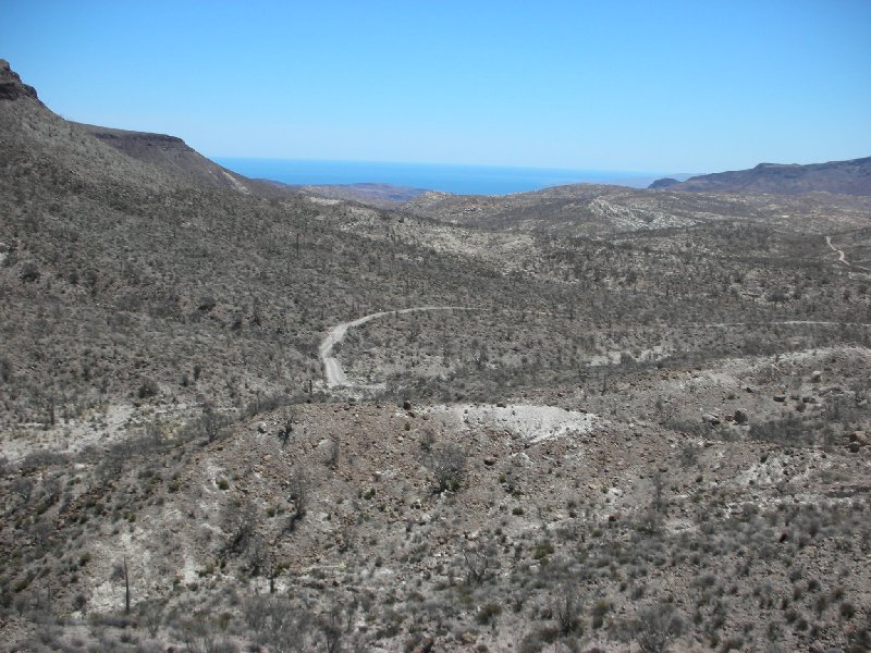
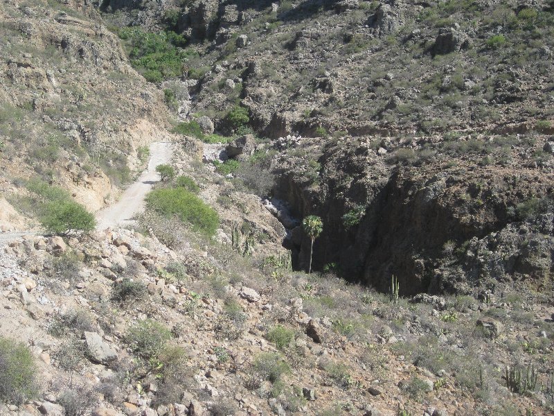
that looks impressive - where is that?
-------------------------
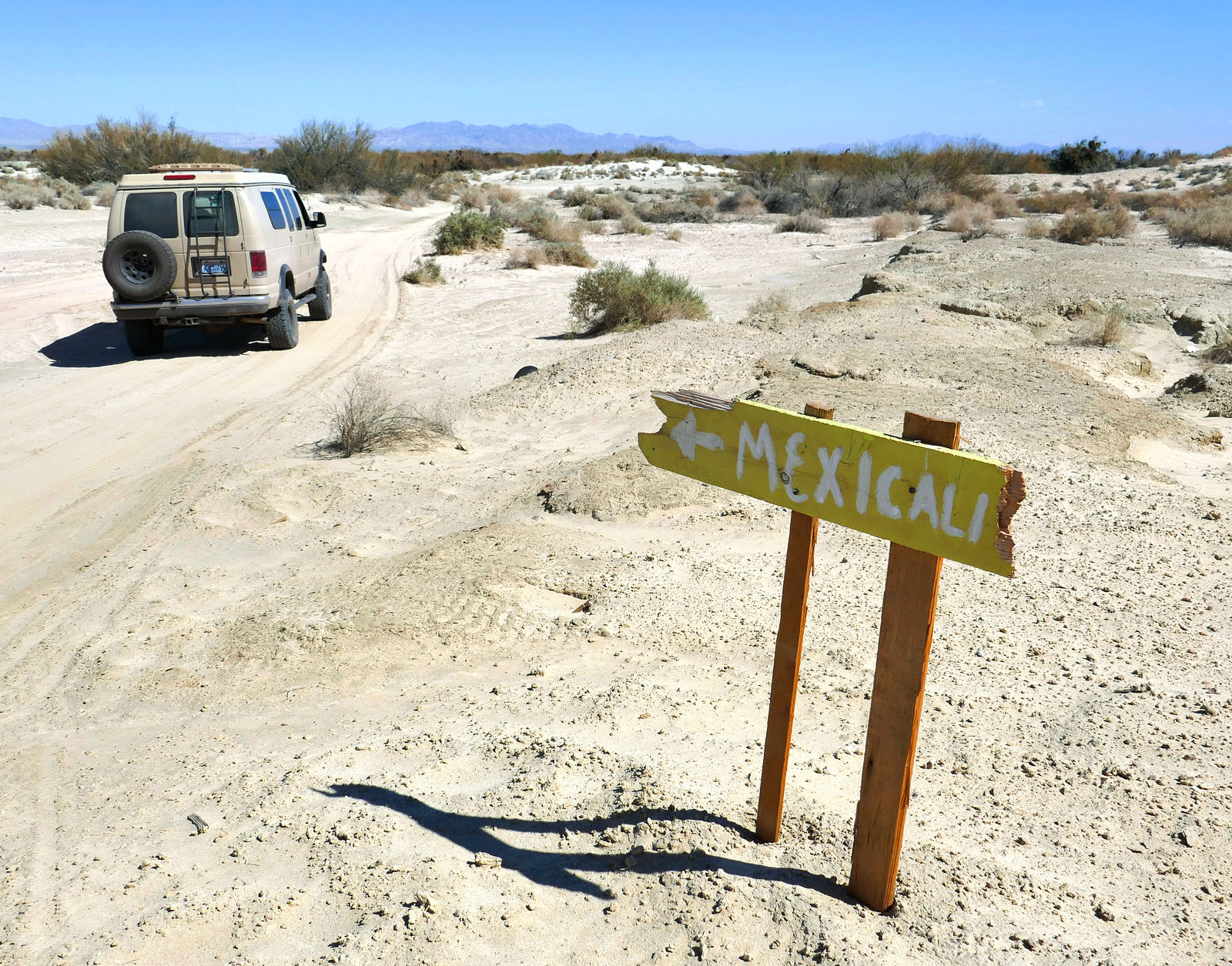
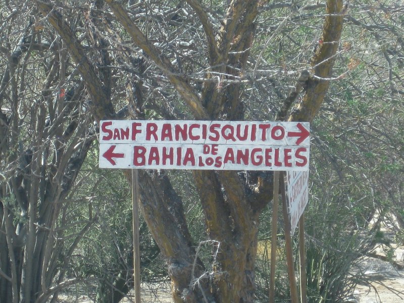
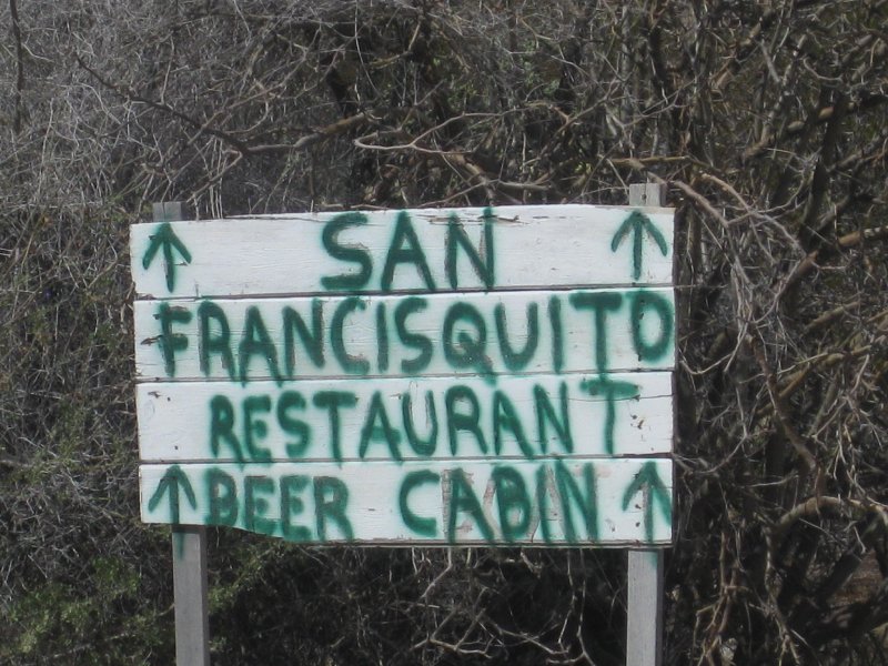
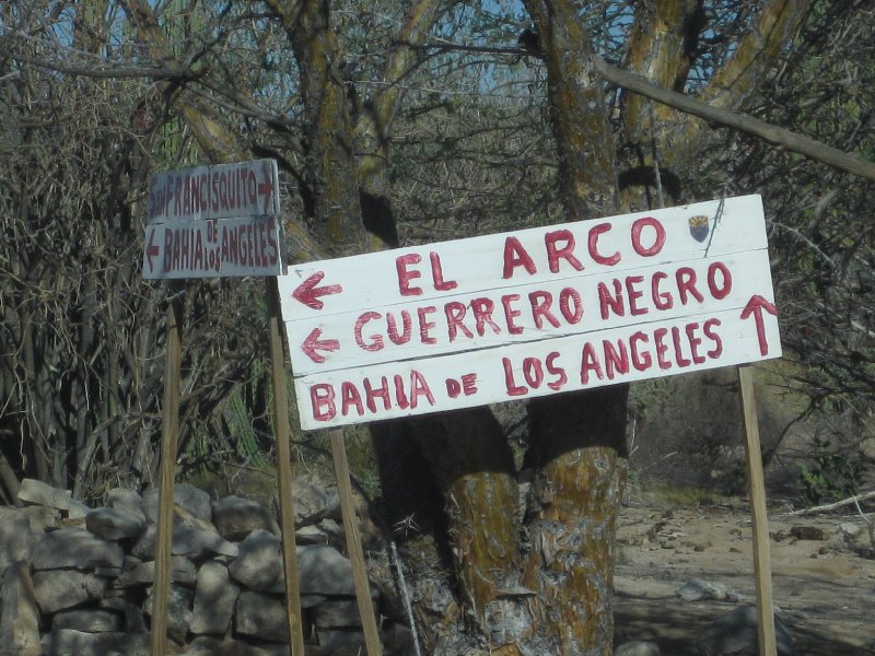
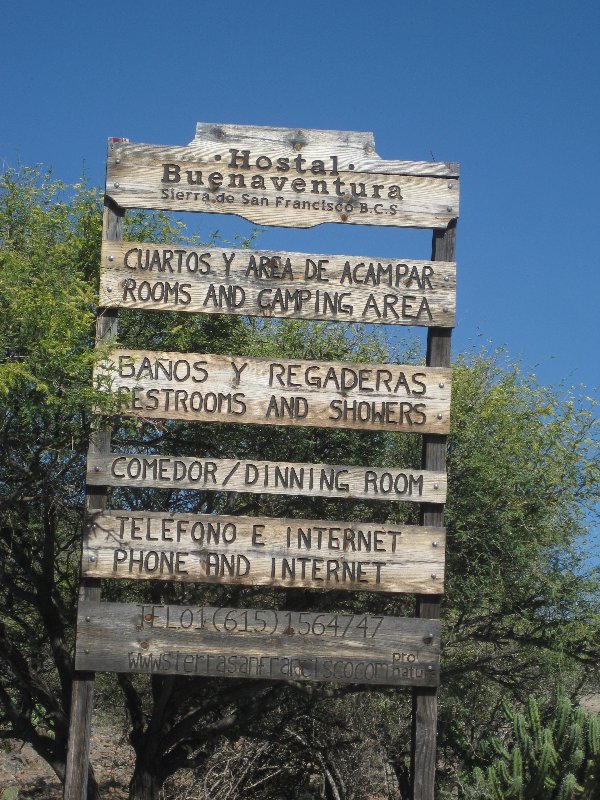
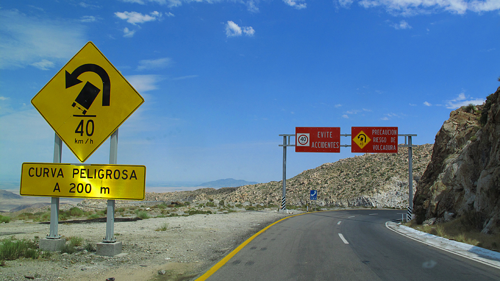
the hand made road signs remind me of road runner / coyote cartoons - could be easily moved to send you the wrong way.
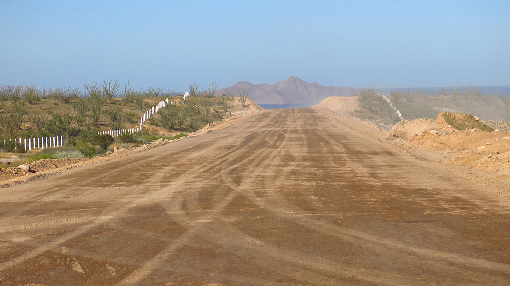
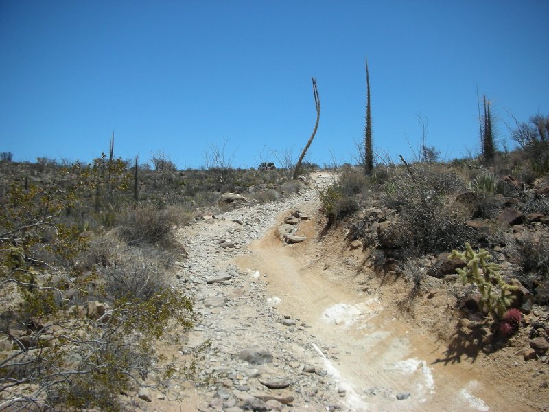
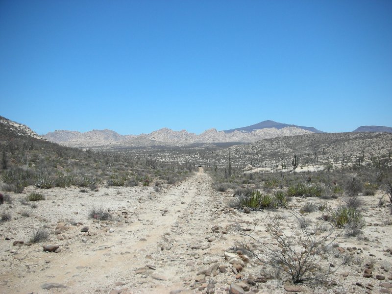
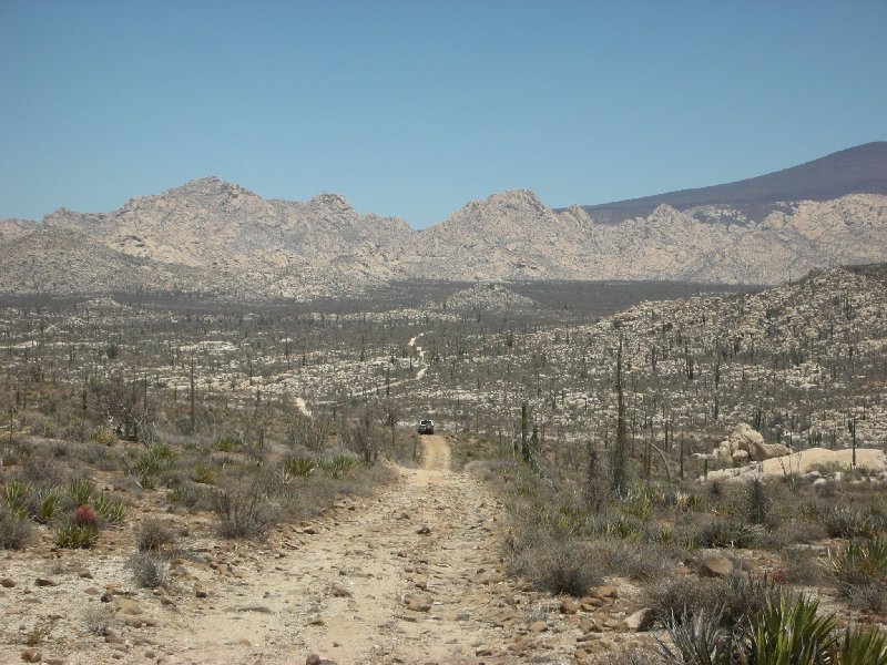
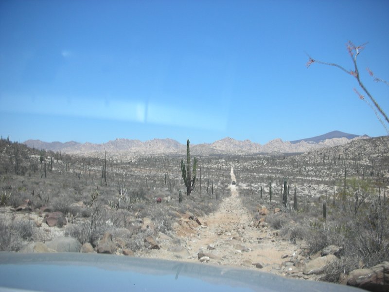
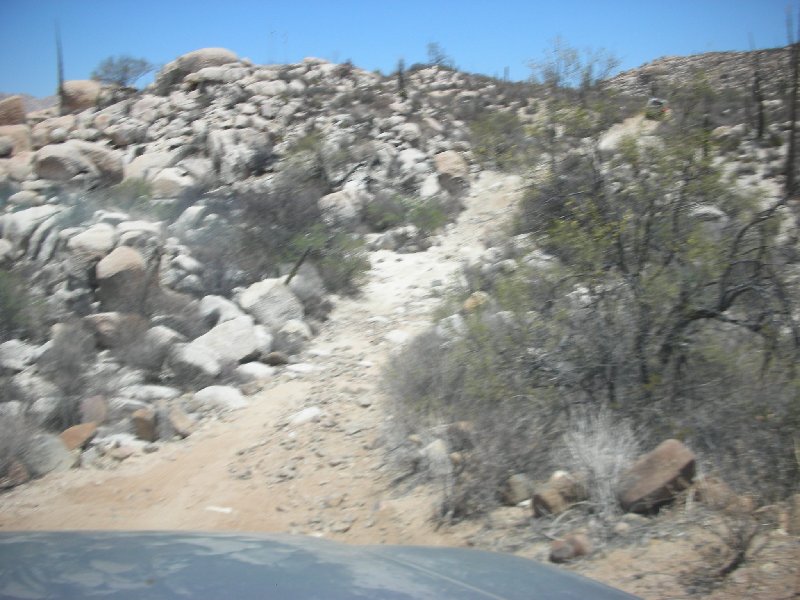
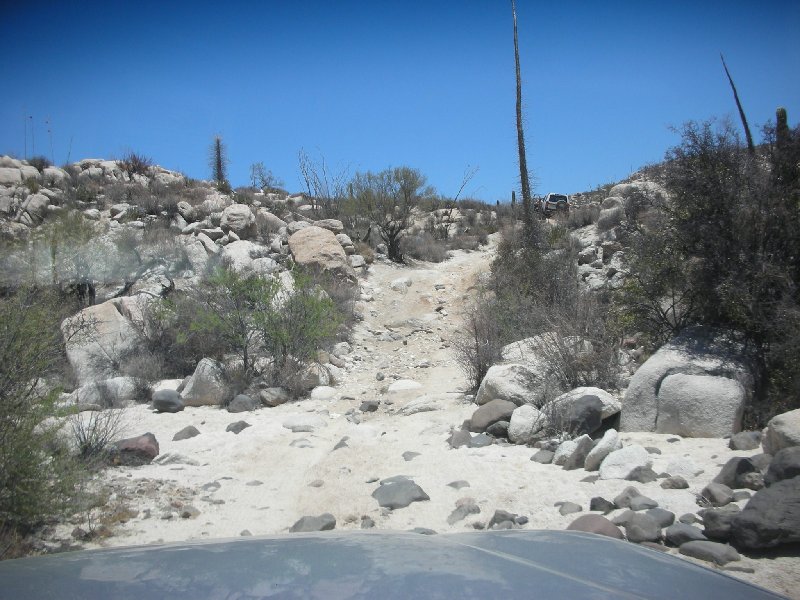
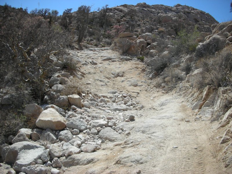
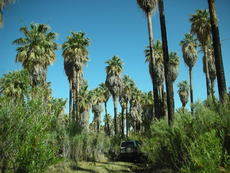
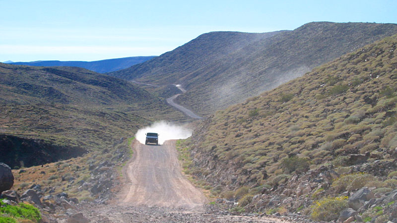
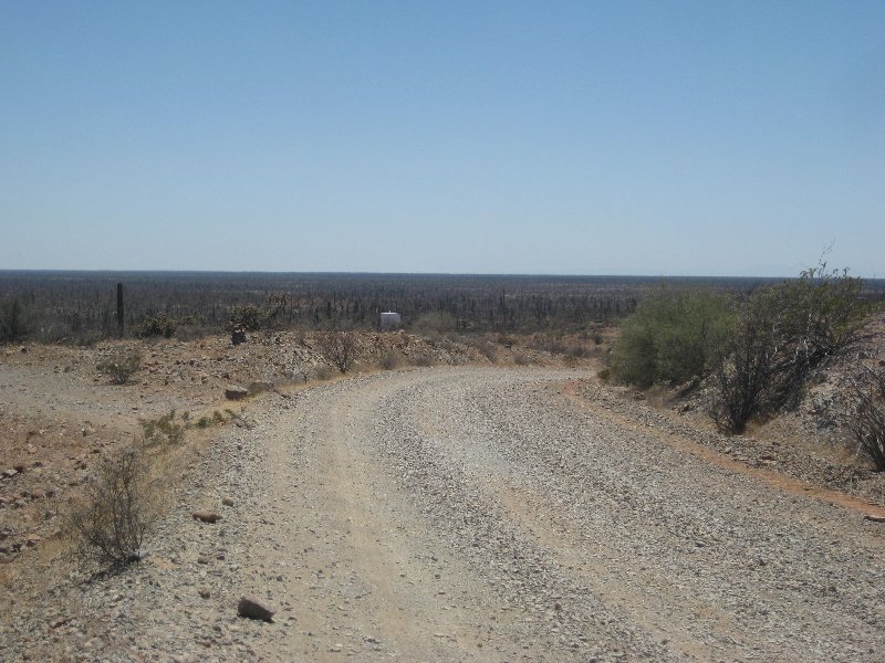
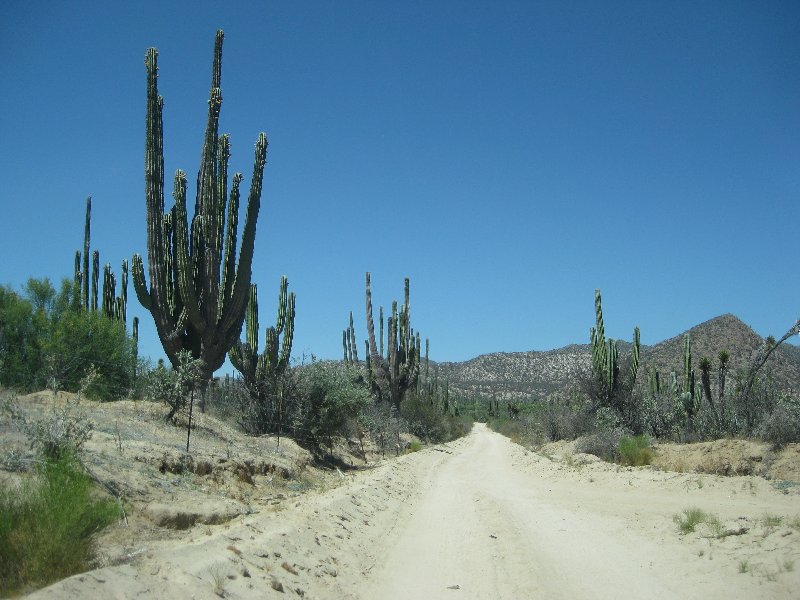
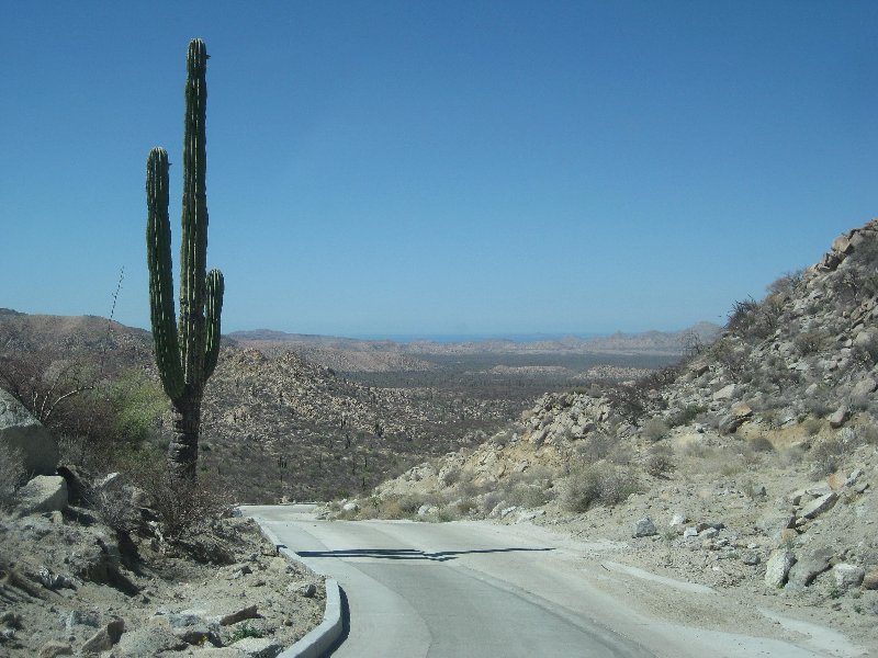
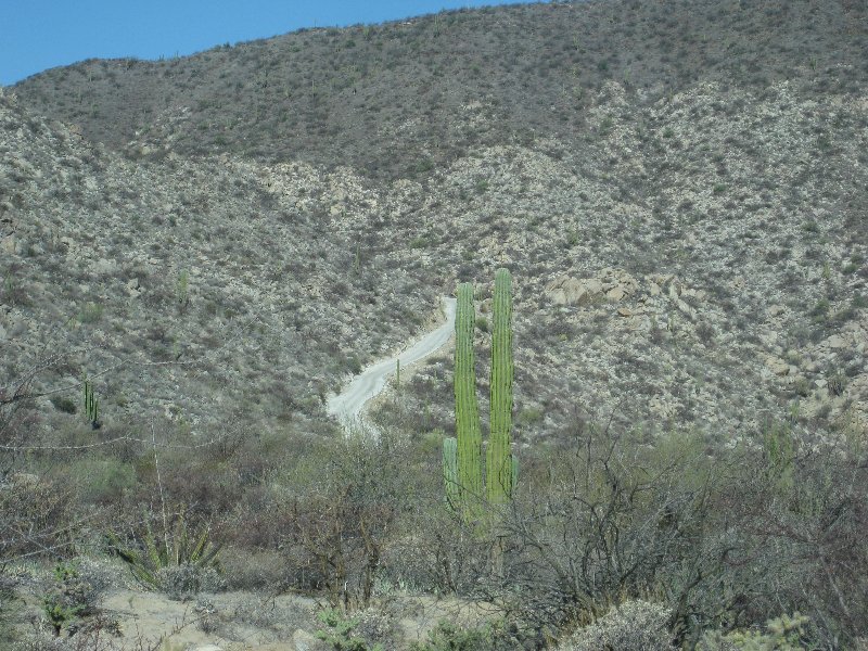
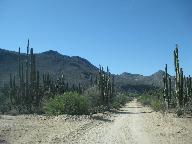
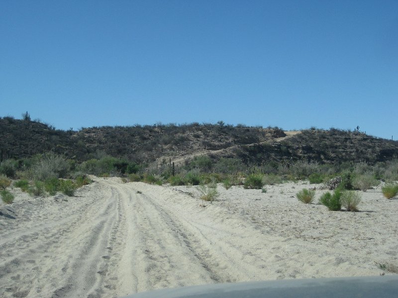
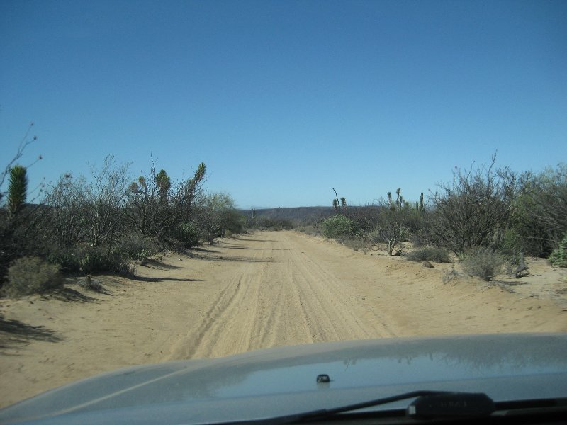
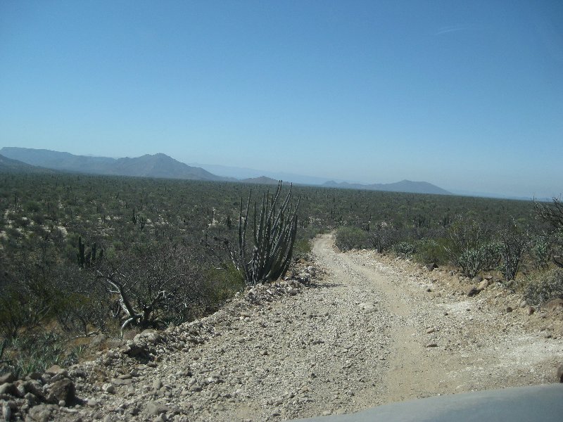
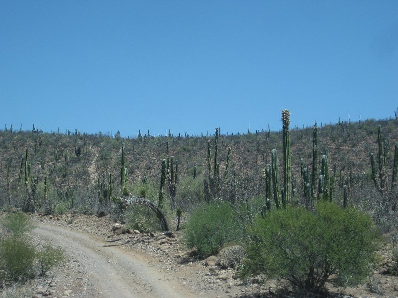
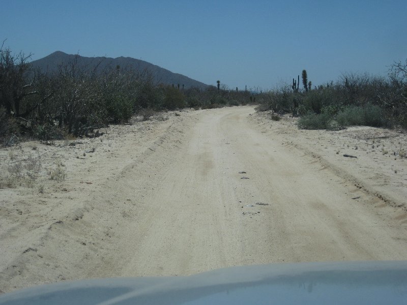
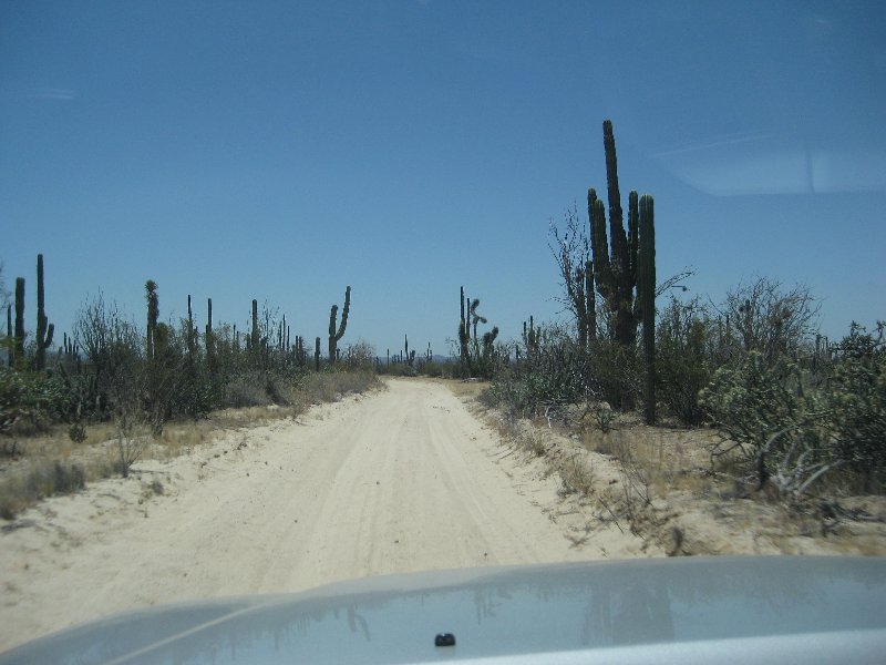
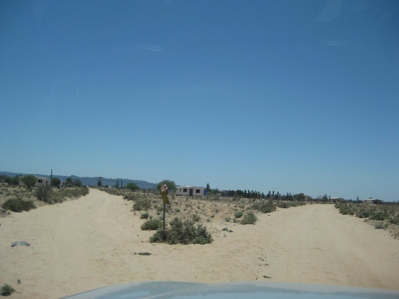
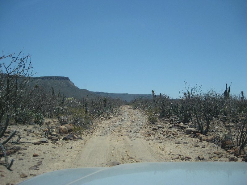
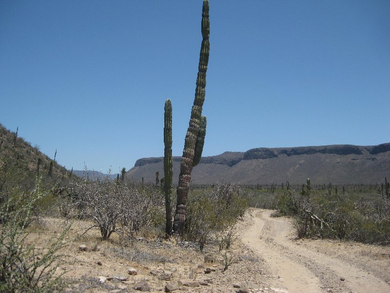
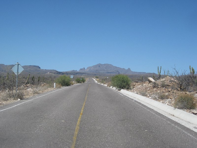
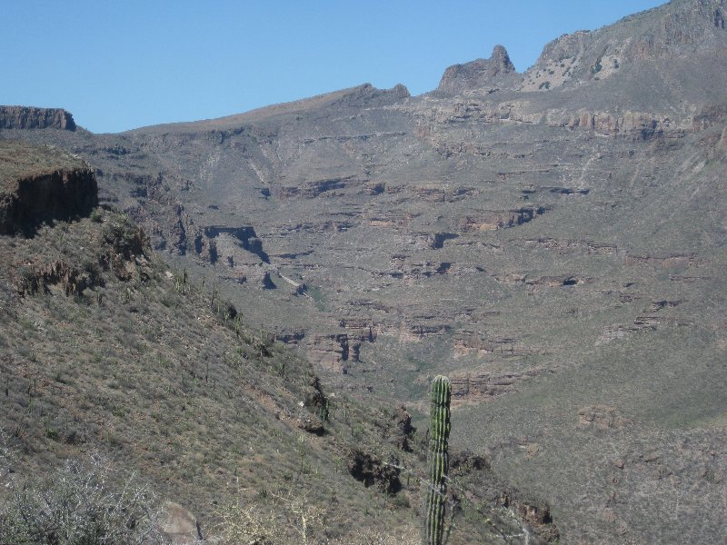
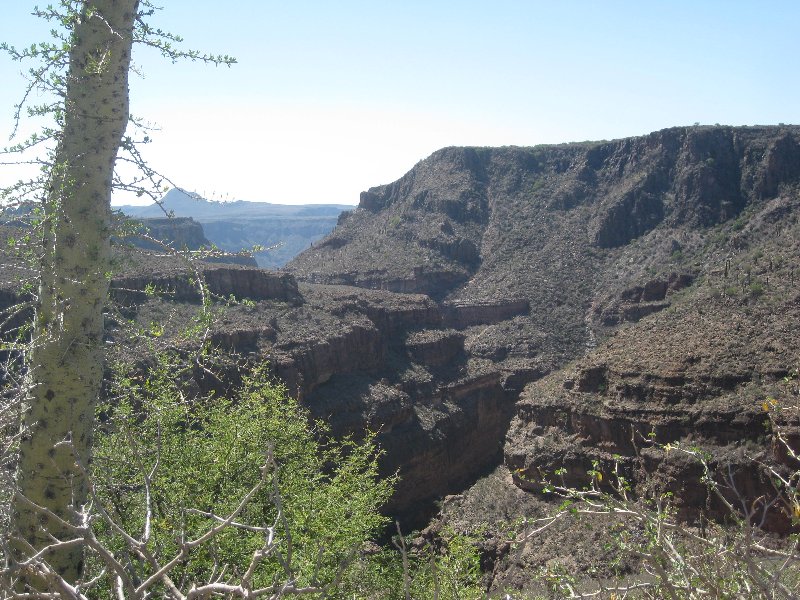
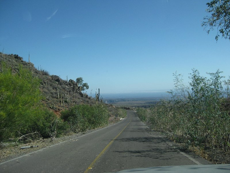
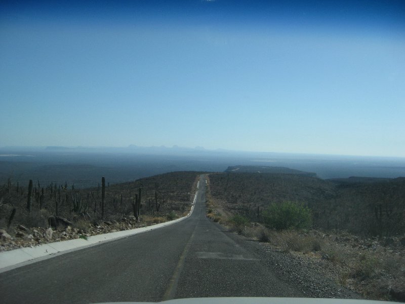
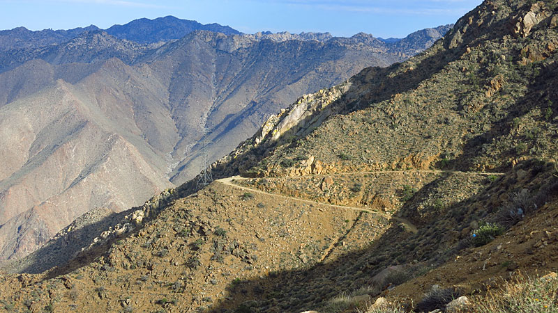
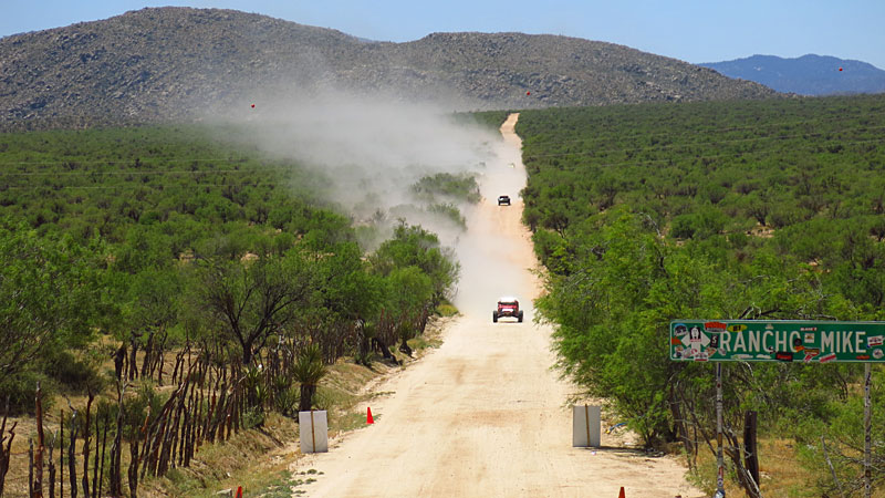
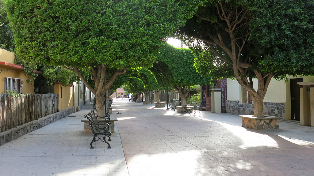
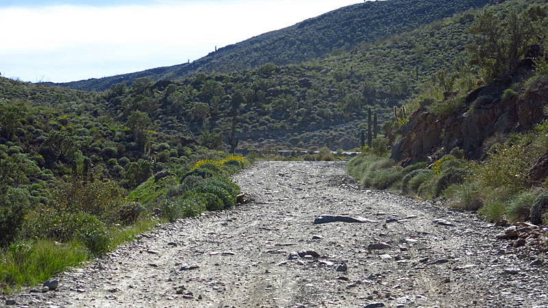
It is what can be seen from the road to San Francisco de la Sierra... in this case, the final 4 miles of unpaved road ending at the village... The
road goes around the top of the canyon (San Pablo Canyon).
white whale - 4-20-2020 at 08:58 PM
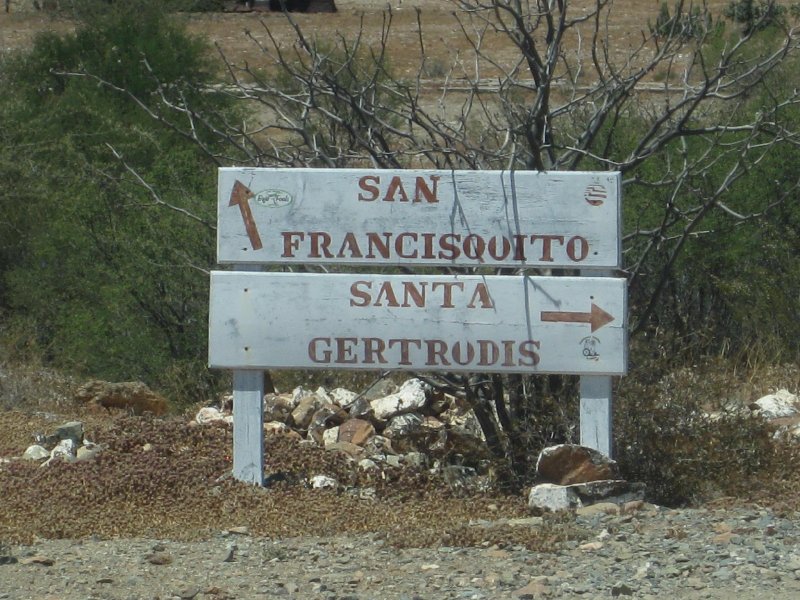
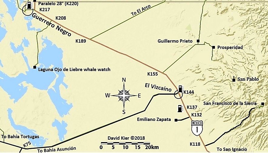
Coming from the north is it possible to connect from Guillermo to San Francisco DLS? I was trying to look up the mission marked San Pablo but struck
out.
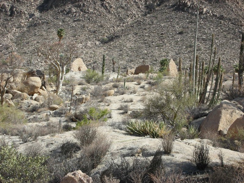
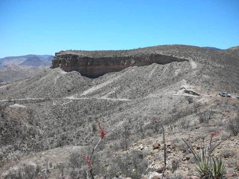
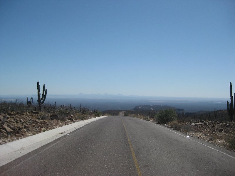
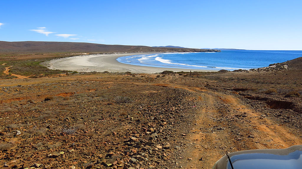
And this is the UNESCO World heritage site with the rock paintings.
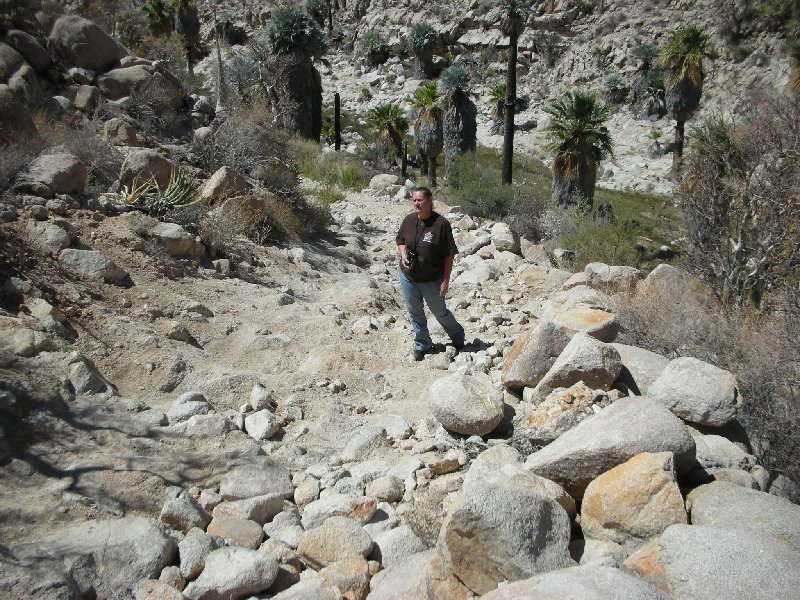
And to visit this - guide only I assume?BajaBlanca - 4-21-2020 at 01:26 AM
Perhaps start another thread under Baja Questions so as not to sidetrack this wonderful photo thread?
Great photos. I shall have to hunt for some of mine!
[Edited on 4-21-2020 by David K]StuckSucks - 4-21-2020 at 05:25 PM
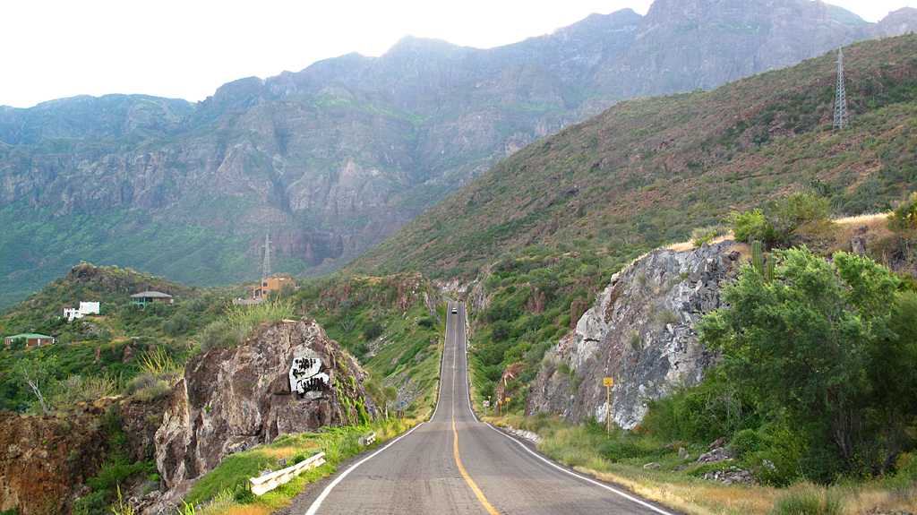
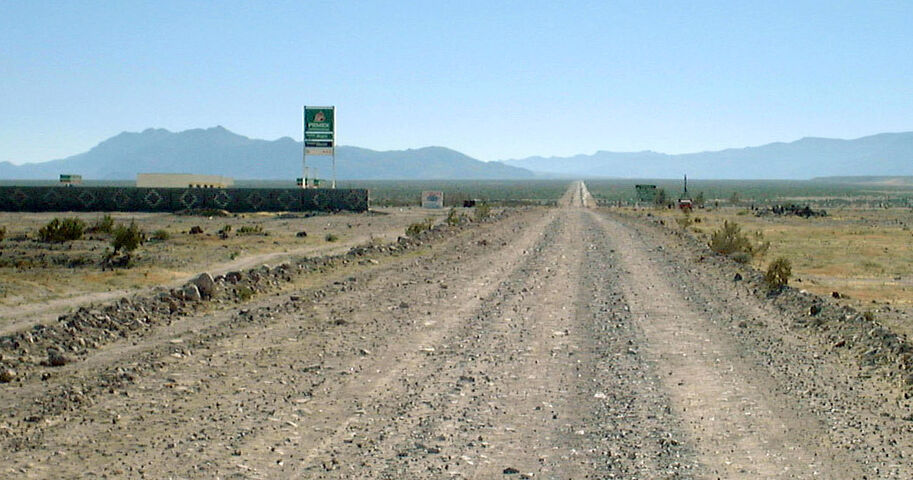
Highway 5 @ 1, May, 2016
Highway 5 2015. StuckSucks - 4-21-2020 at 05:28 PM
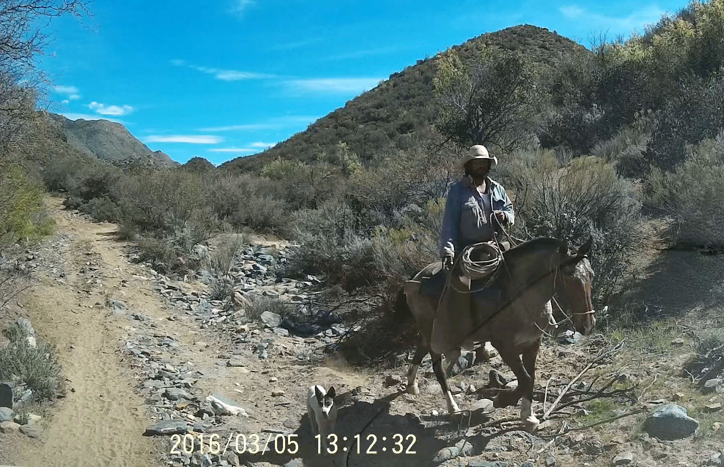
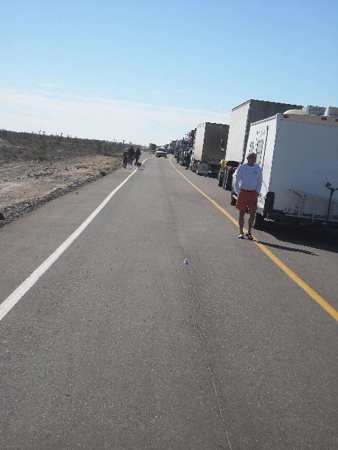
There's no people in these pictures!! Why aren't there pictures of people?? Don't you know anybody? If there are no people, you must be Godless!!StuckSucks - 4-21-2020 at 05:40 PM
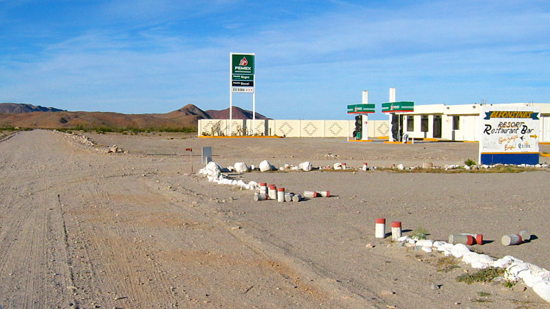
The station was there in 1999, but several years passed before it was open for business. Gas was sold from a pump across the way at Rancho Grande
before the Pemex opened... Pacifico - 4-22-2020 at 11:50 AM
The station was there in 1999, but several years passed before it was open for business. Gas was sold from a pump across the way at Rancho Grande
before the Pemex opened...
I remember that!David K - 4-22-2020 at 12:17 PM
I just did a Nomad search and the earliest mention of the Gonzaga Pemex being open was in March 2004. It later was closed for some permit issue, but
not for long.del mar - 4-22-2020 at 12:24 PM
running the station was just a little too much work for Joaquin....wilderone - 4-22-2020 at 02:22 PM
running the station was just a little too much work for Joaquin....
Between him and Román, yes... better to sell it to the Los Pinos (Rodriguez/ Rancho Grande) folks!StuckSucks - 4-22-2020 at 03:33 PM
StuckSucks - 4-22-2020 at 03:34 PM
StuckSucks - 4-22-2020 at 03:37 PM
David K - 4-23-2020 at 08:46 AM
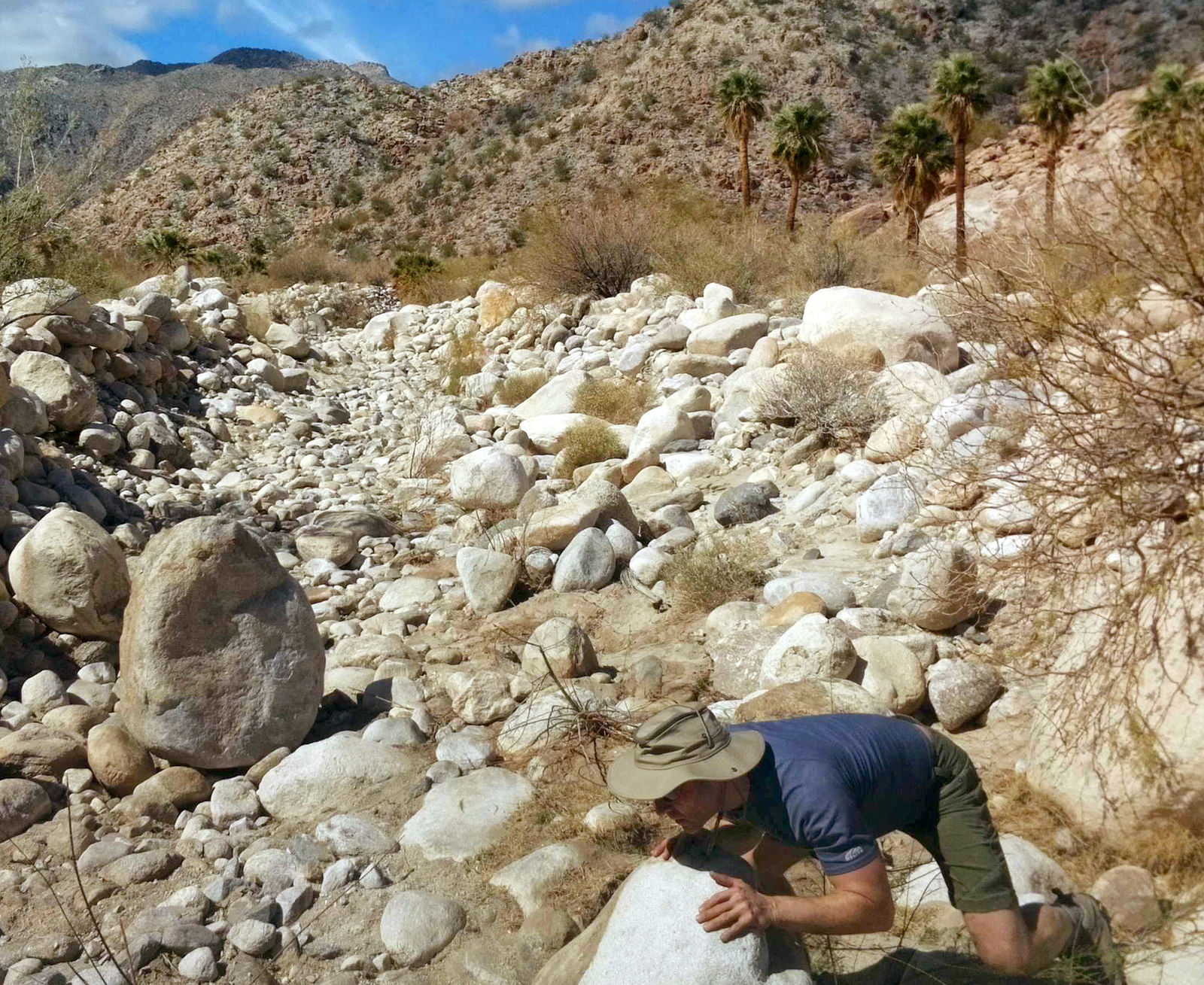
Nice pics, Jim!
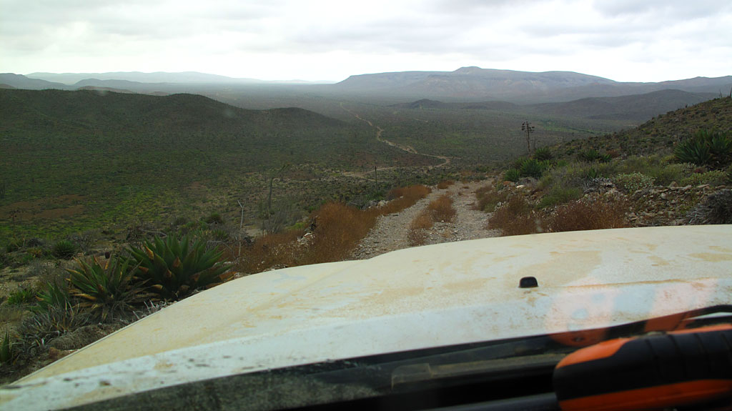
If I were to guess the locations:
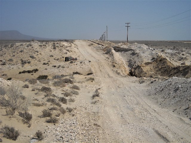
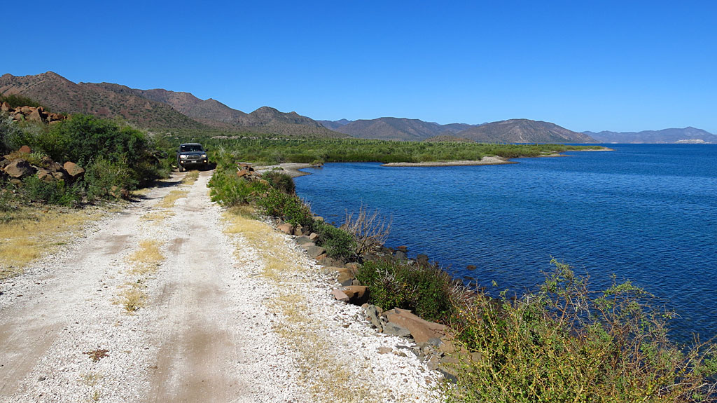
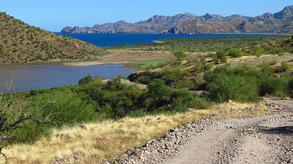
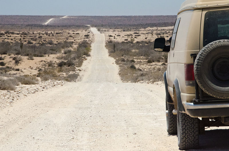
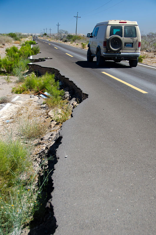
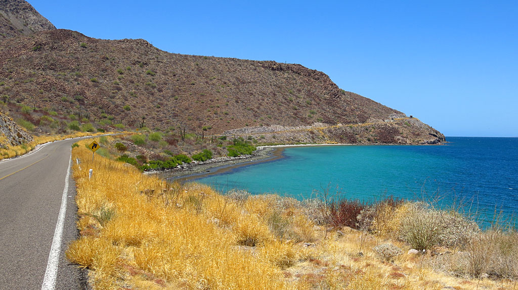
Valle Chico/ Azufre Wash road; the old main Baja road along Bahía Concepción; Hwy. 5 before blacktop south of Gonzaga Bay; Near Agua Verde????


 [/url]