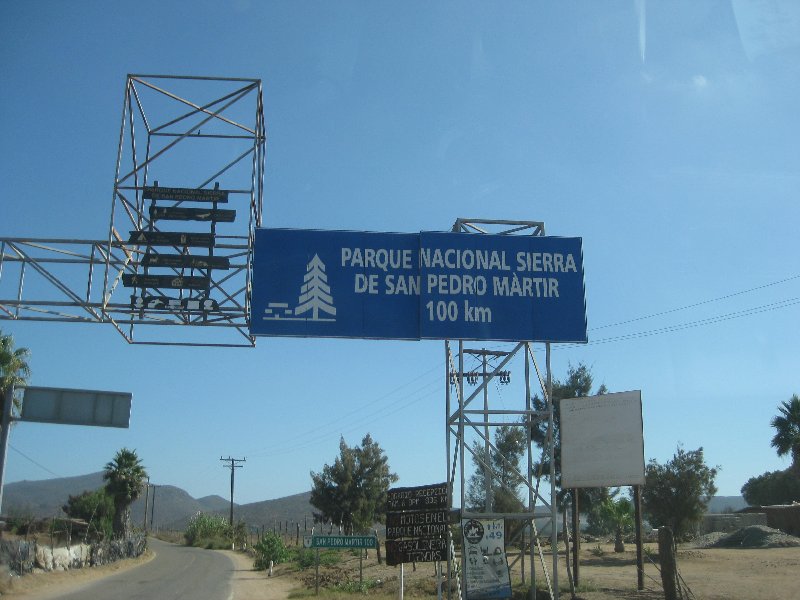
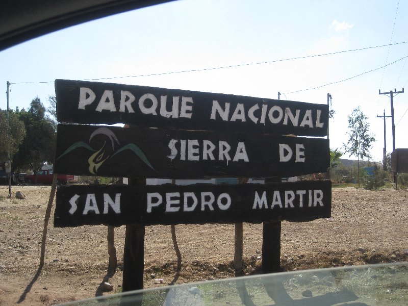
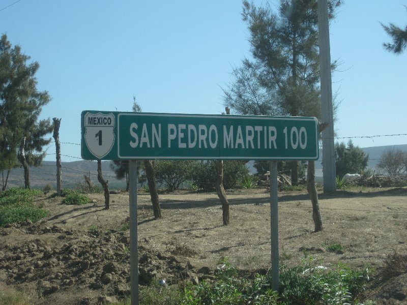
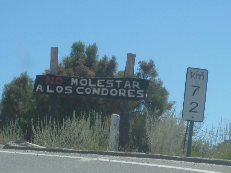
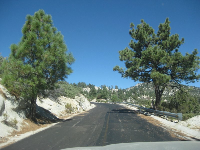
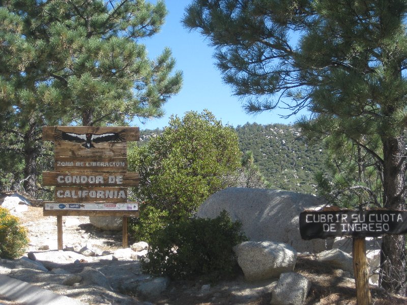
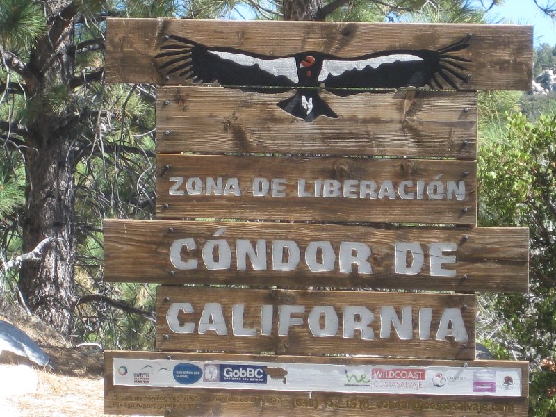
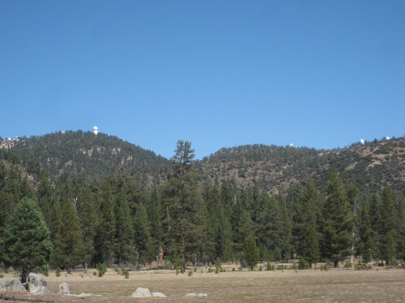
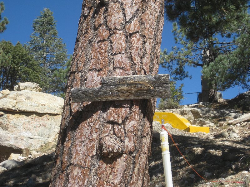
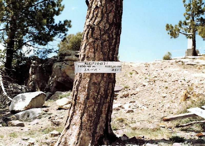
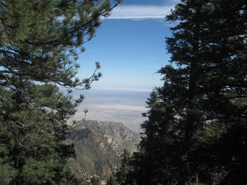
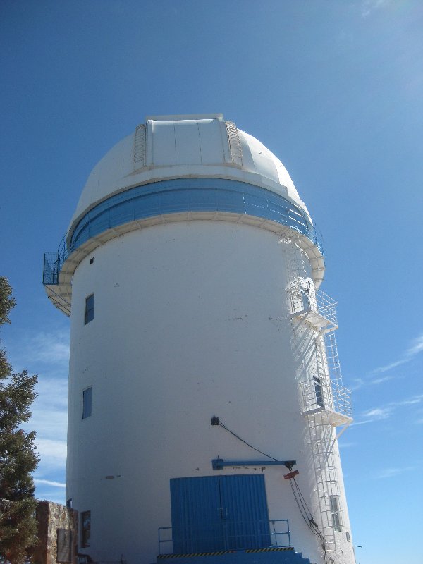
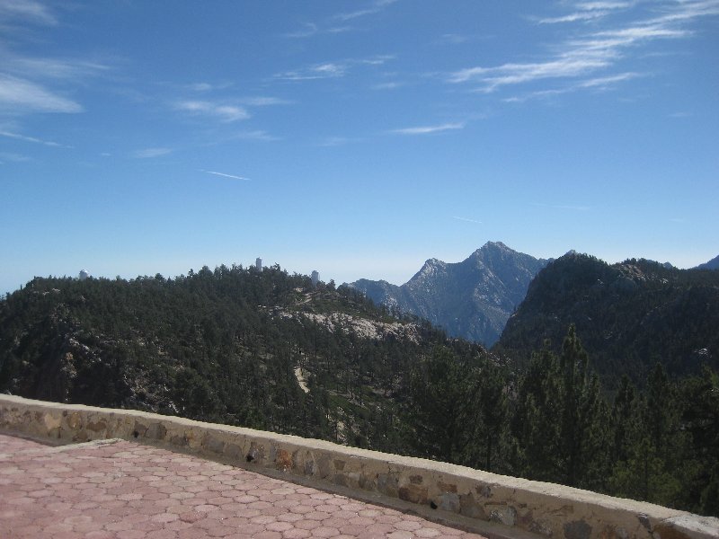
Thanks for the very nice photos, David. I should go back there, it has been too long. First time in '54, then '57, then I climbed Picacho from the
desert side. All three times were with Bud Bernard. Of course, those trips were before paved roads and the observatory. We went to Meling Ranch for a
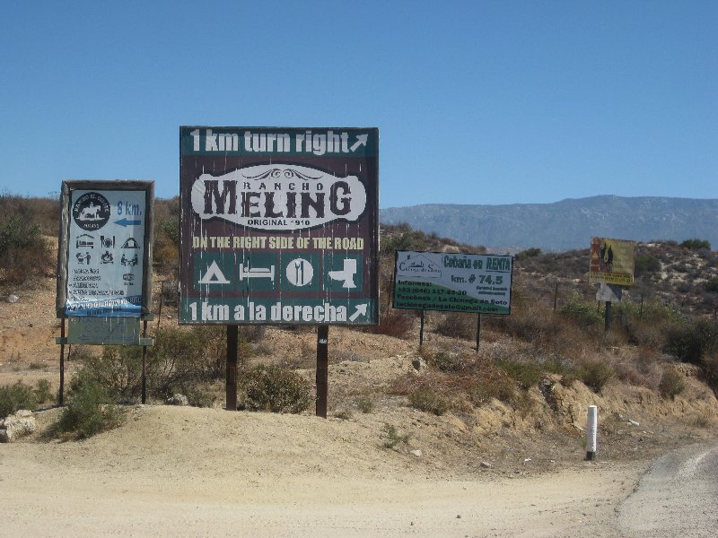
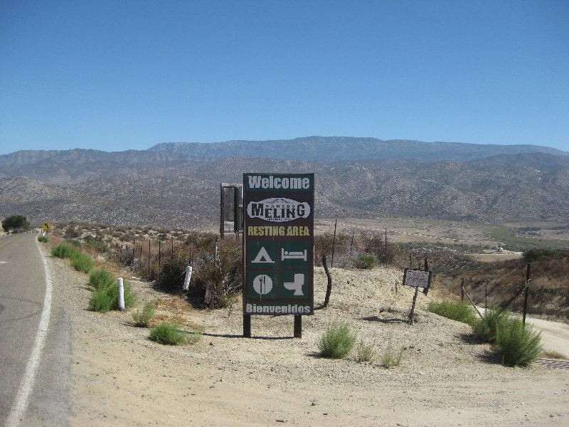
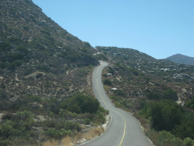
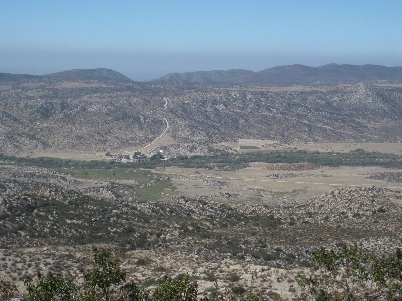
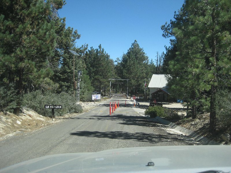
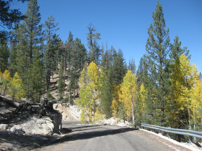
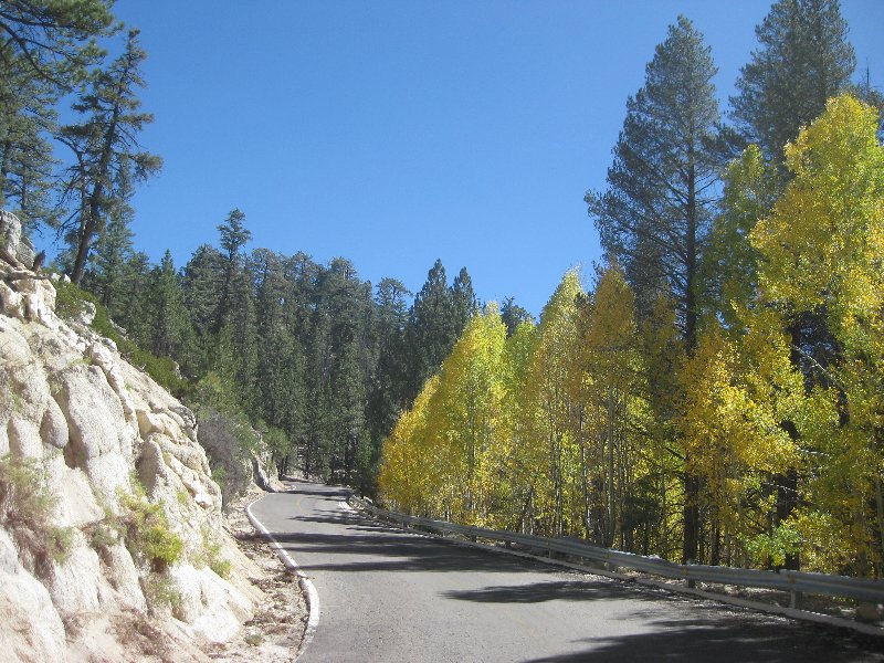
stay in about '90, started up that long grade to the forest but had car trouble and turned around.
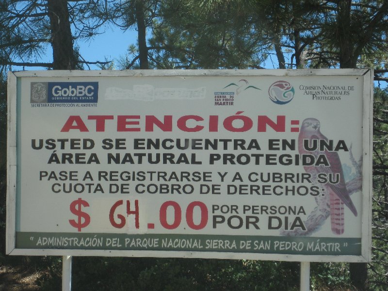
|