Quote: Originally posted by mtgoat666  |
all of the topo maps for SPM and the peaks are fairly unreliable, the topography is pretty rugged, and important details were not captured by aerial
topo mapping methods and the scale used.
for SPM and the peaks, the written descriptions and road/trail line work on Jerry Schaad's paper map are still best available source for navigating
the SPM and the peaks.
Jerry mapped all of the old trails and roads, and if you supplement Jerry's map with a GE print-out, you will have all you need to navigate the SPM.
Most of the old roads on Jerry's map, while overgrown, can still be followed if hiking or mtn biking. |
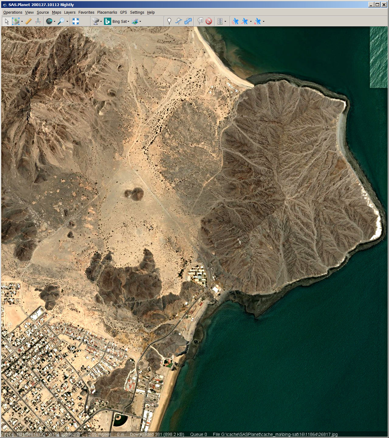
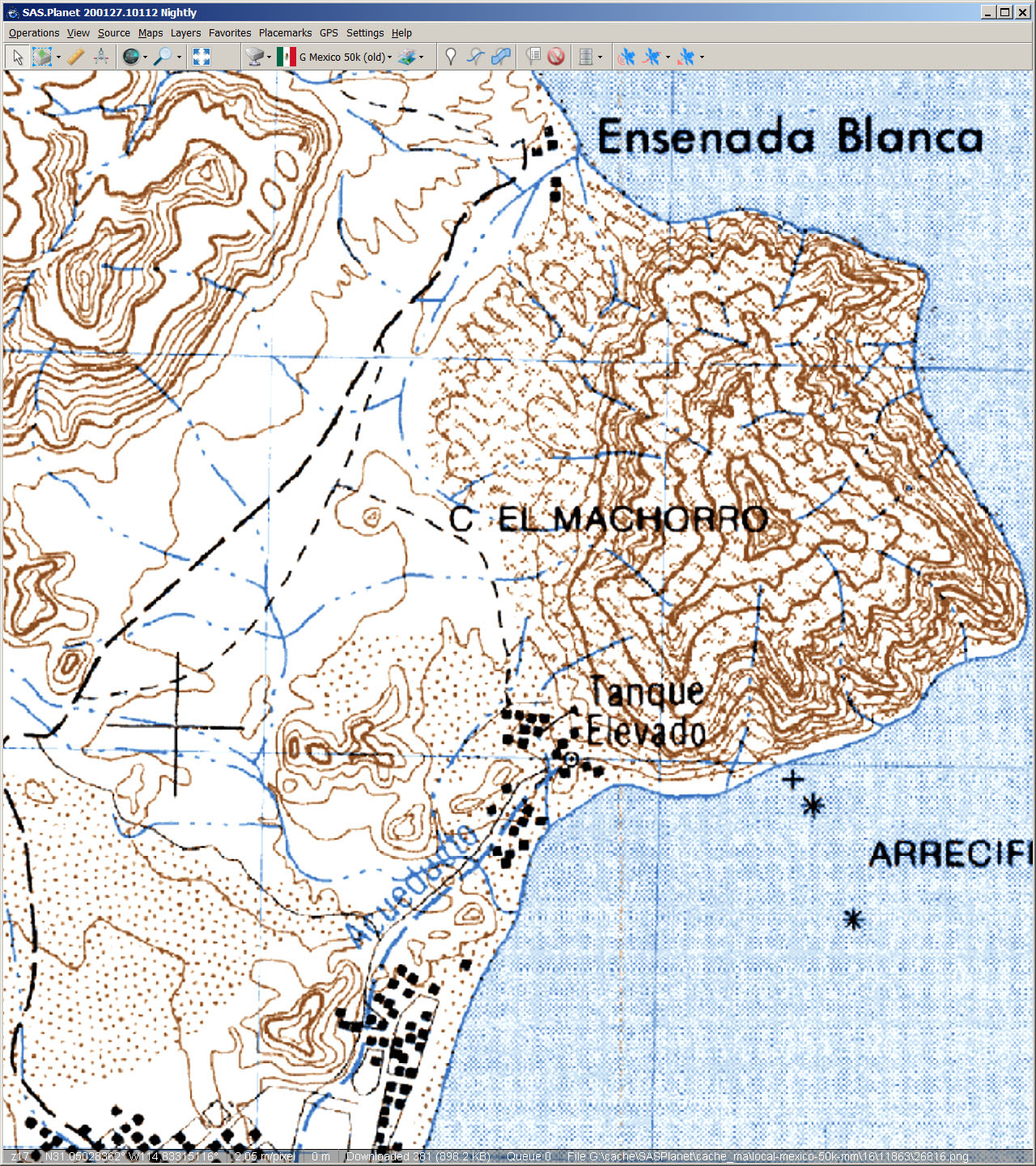
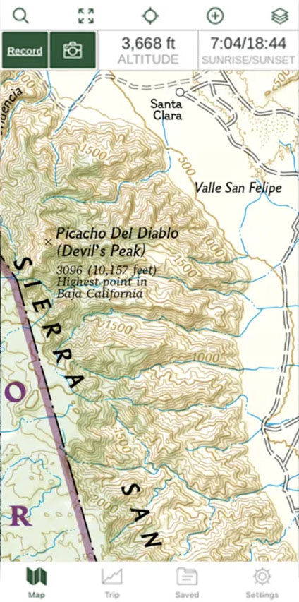
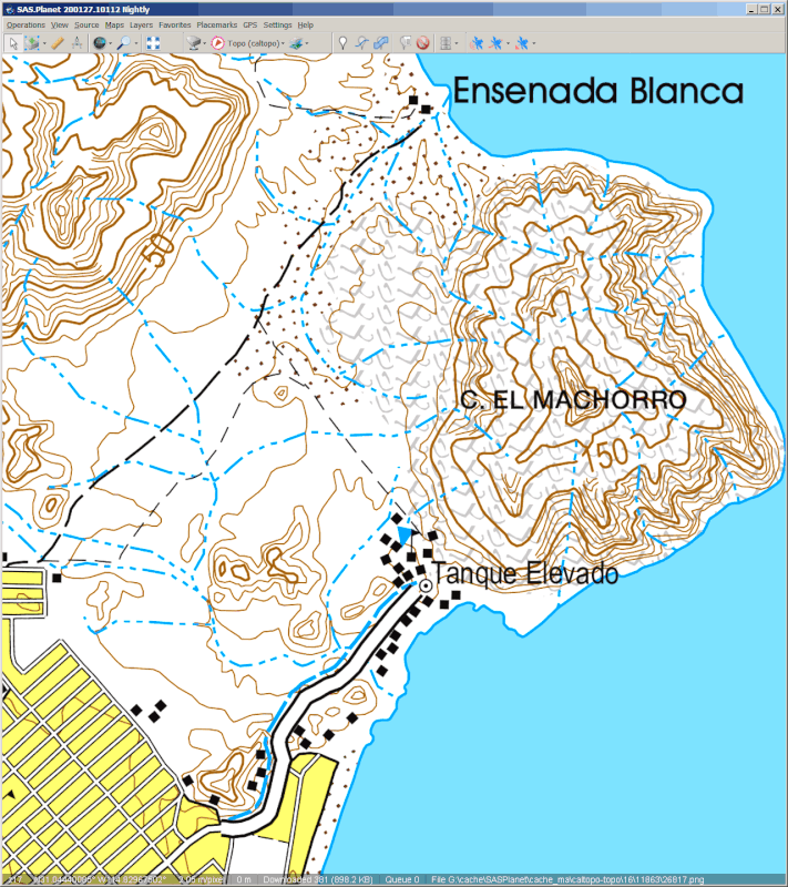
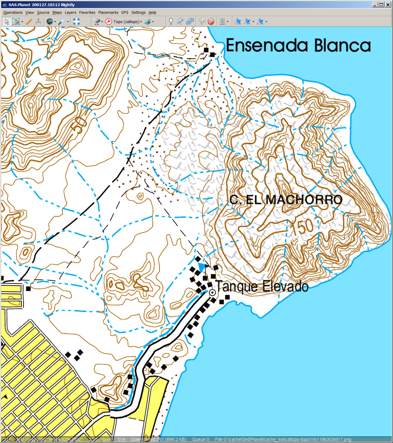
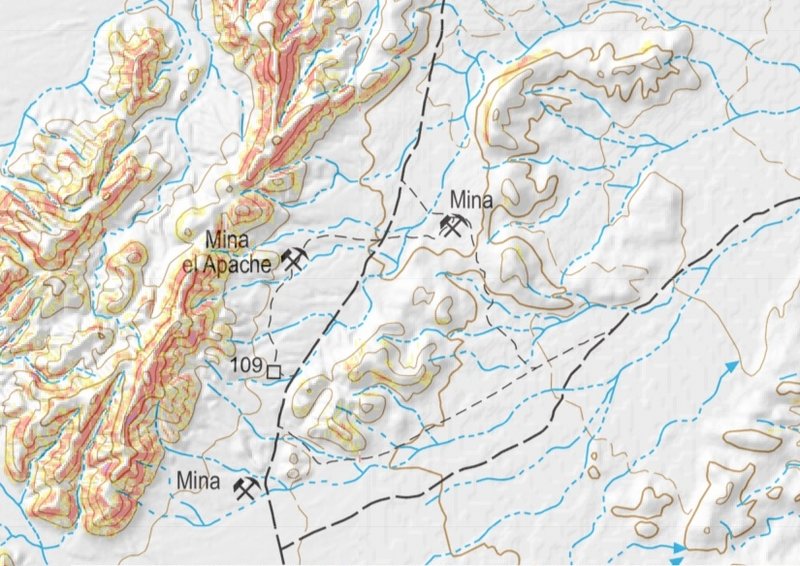
Thanks, Goat! I didn't know about Jerry's maps. They look great! Google turned up this for me: http://dankat.com/swhikes/maps/devil.htm I do see missing topographic detail northeast of the peak in the older INEGI map, but the newer INEGI
map seems to have filled in the elevation details.
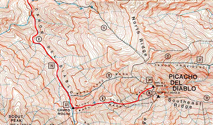
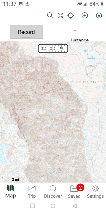
Jerry Schaud map

Old INEGI 50k topo

New INEGI 50k topo
|

 I contributed the INEGI Mexico topo maps - but
that's just one feature on a very extensive website.
I contributed the INEGI Mexico topo maps - but
that's just one feature on a very extensive website.