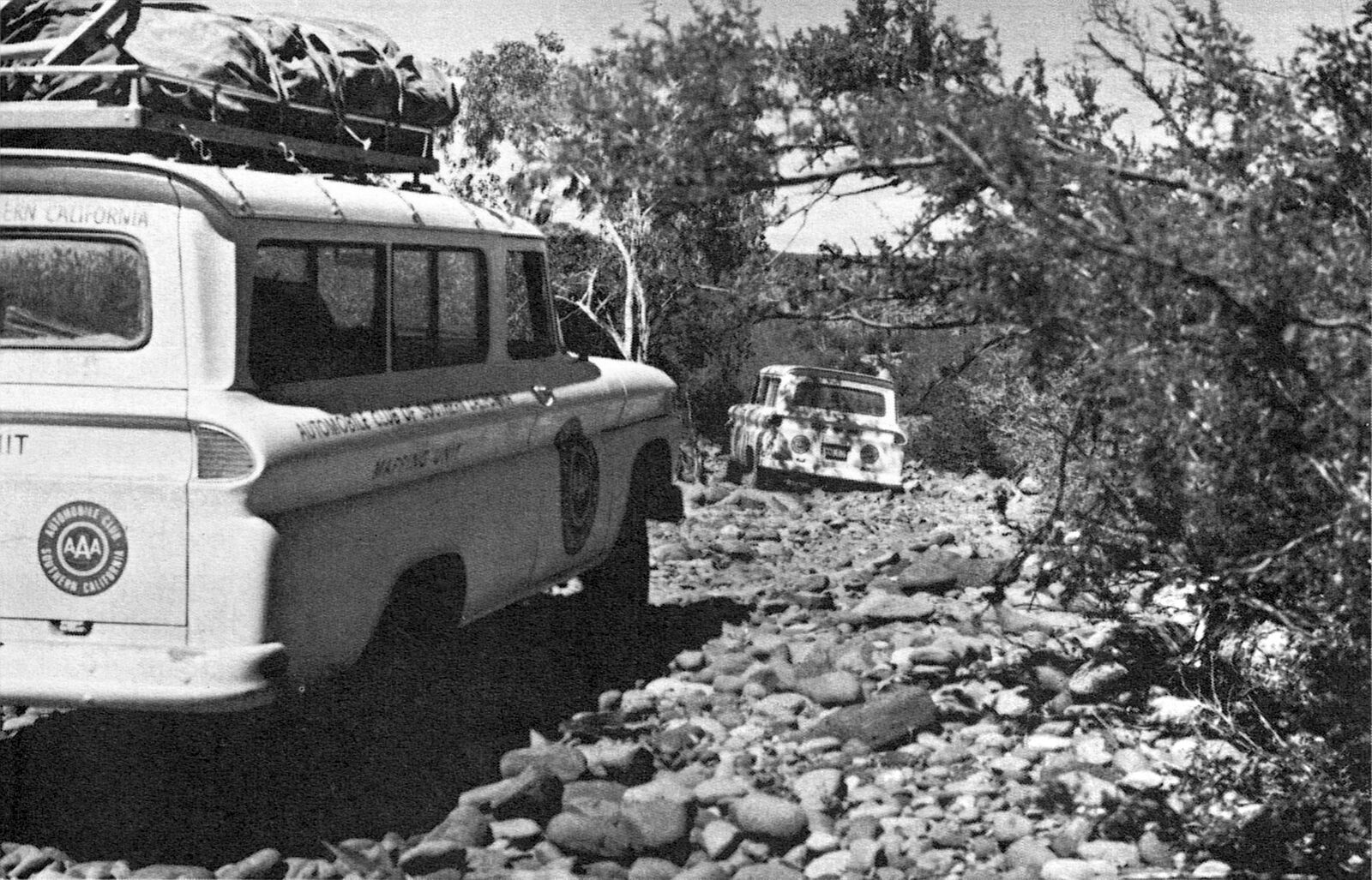
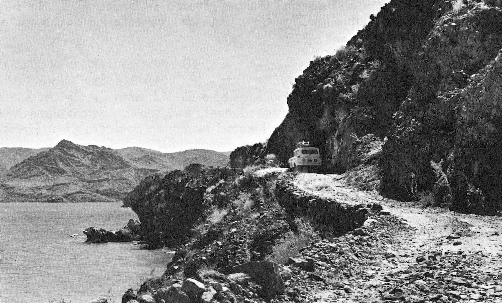
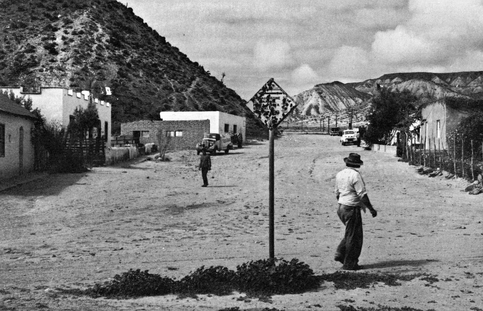
Quote: Originally posted by nandopedal  | | Quote: Originally posted by bajaric | Anyone know what kind of vehicles those are? I am guessing International Harvester Travelall but maybe GMC?
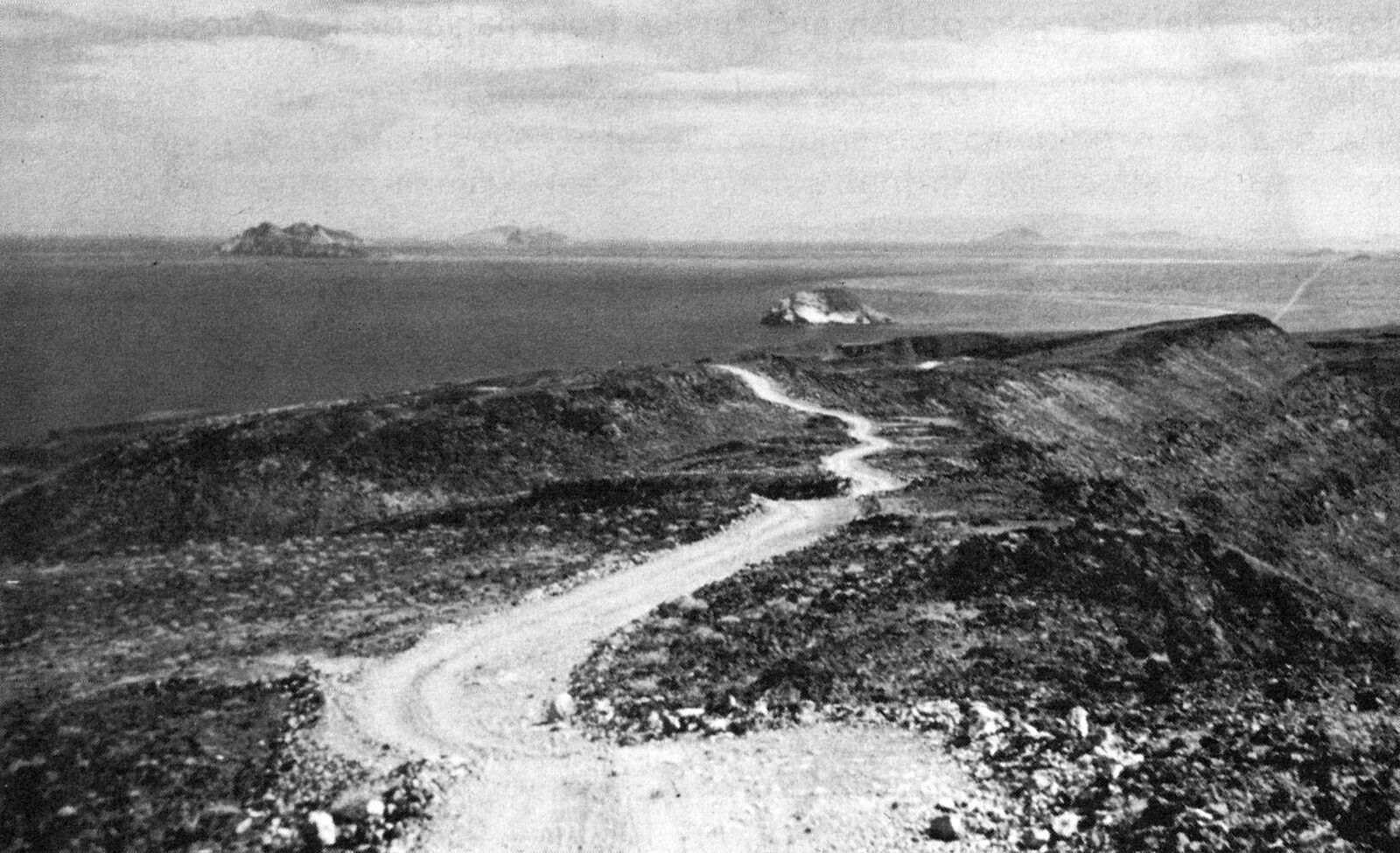
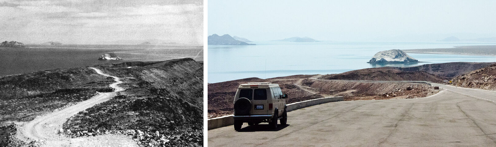
I have noticed on the later AAA maps some of the roads shown on earlier maps are deleted, leaving a blank space. They actually drove those roads and
some of them may have been washed out, or they were just saying "Don't go there". |
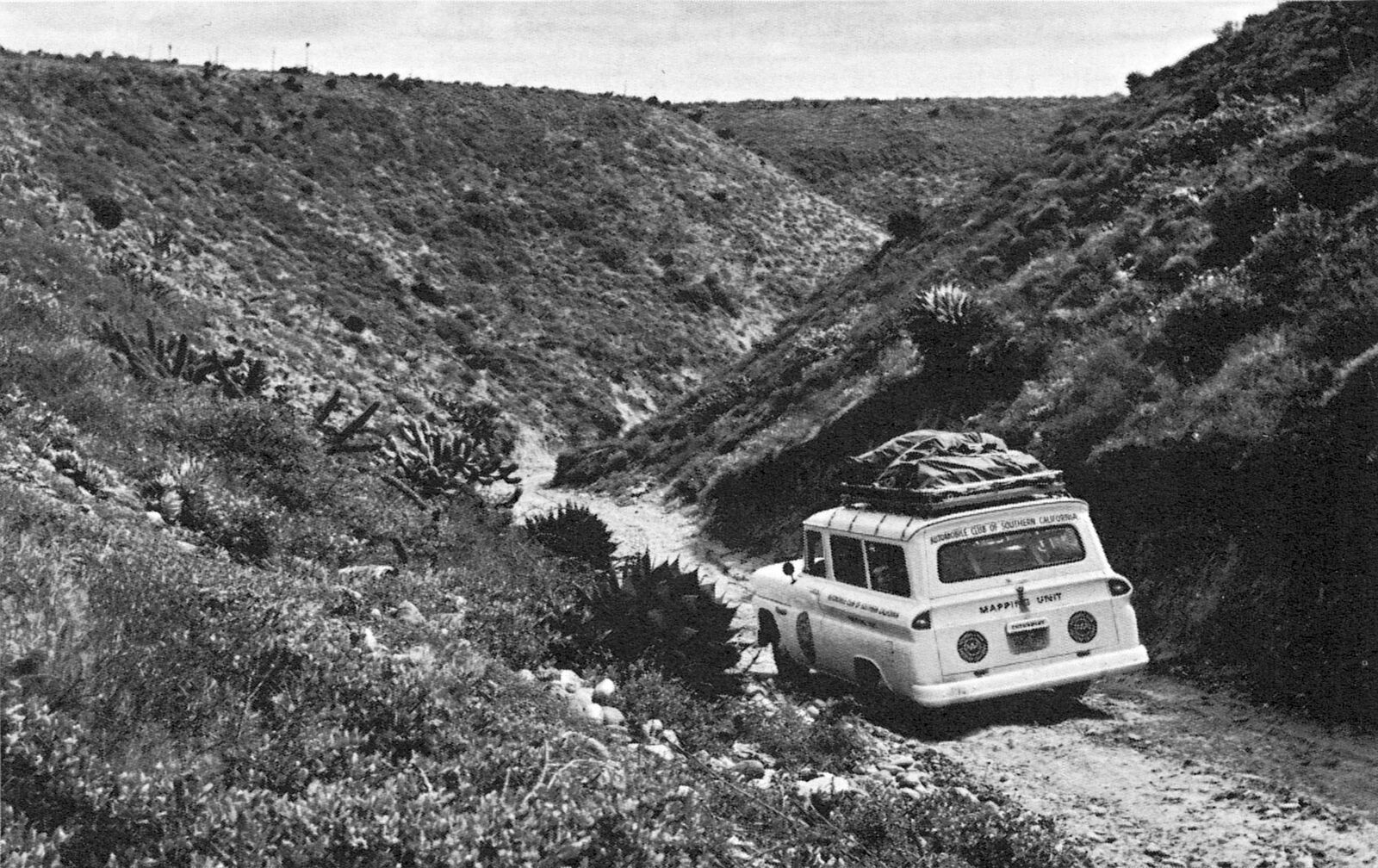
1963 Chevrolet panel van. |
the Sub with the eyebrows is either a '60 or '61, the other Carryall is a '62 I believe.....badazz trucks! |