[Edited on 6-18-2020 by JZ]JZ - 6-16-2020 at 05:46 PM
2.
JZ - 6-16-2020 at 05:56 PM
3.
JZ - 6-16-2020 at 06:24 PM
4.
[Edited on 6-17-2020 by JZ]JZ - 6-16-2020 at 06:33 PM
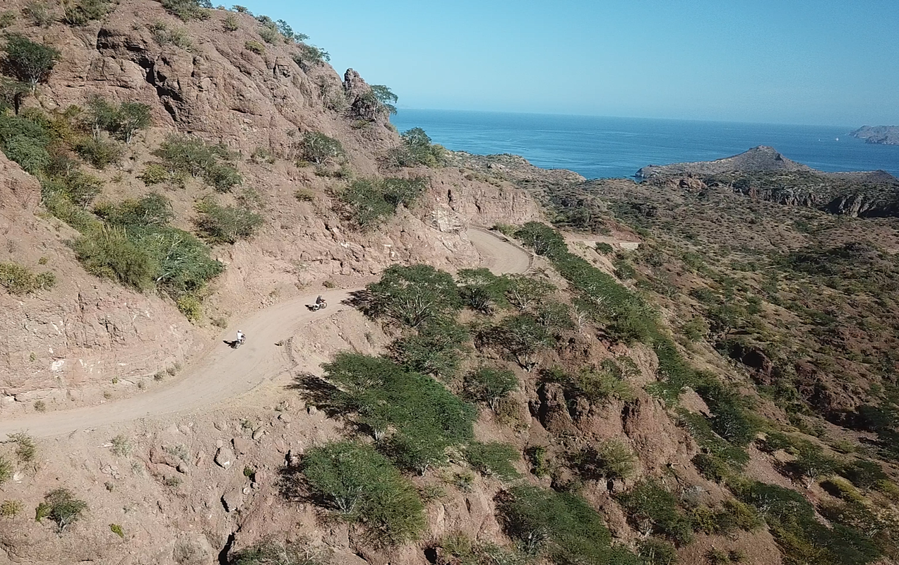
5.
JZ - 6-16-2020 at 06:47 PM
6.
Switched this one up, as it was way too easy.
[Edited on 6-18-2020 by JZ]JZ - 6-16-2020 at 07:00 PM
7.
JZ - 6-16-2020 at 07:25 PM
8.
JZ - 6-16-2020 at 07:43 PM
9.
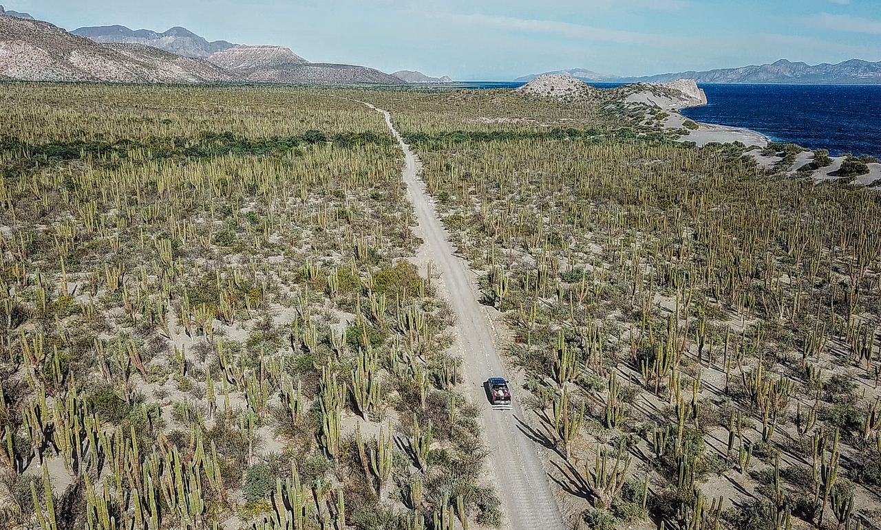
Maybe the most dense cactus field in the world?
[Edited on 6-17-2020 by JZ]JZ - 6-16-2020 at 07:54 PM
10.
msawin - 6-16-2020 at 07:59 PM
Nice.. #10, agua verde?AKgringo - 6-16-2020 at 08:35 PM
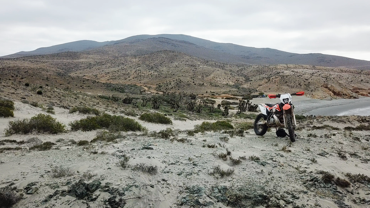
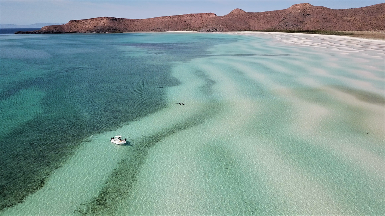
#1 Looks like the area just east of Tecolote to me.
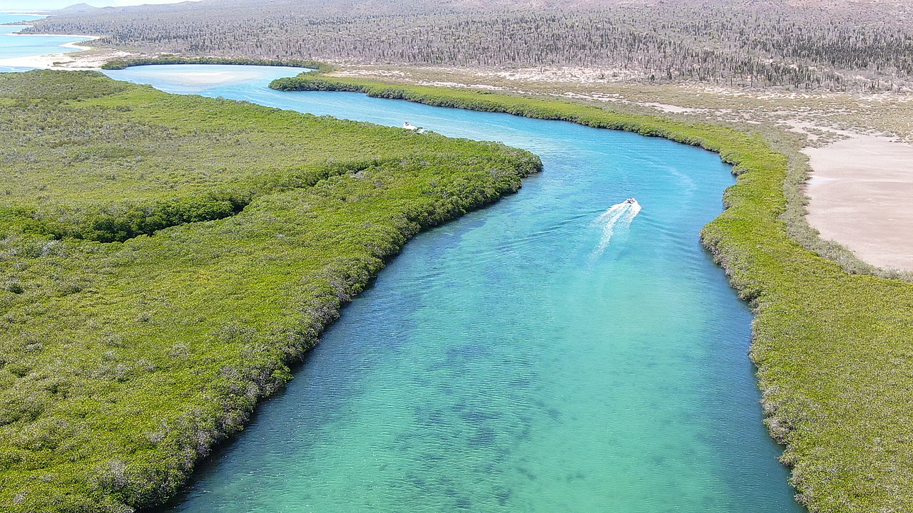
#3 The mangroves at Las Animas?
#7 I second DK's guess
#10 Another vote for the road to Agua Verde BajaParrothead - 6-16-2020 at 08:35 PM
#3 south end of Isla San Jose?
[Edited on 6-17-2020 by BajaParrothead]AndyP - 6-16-2020 at 11:20 PM
3: isla.san Jose
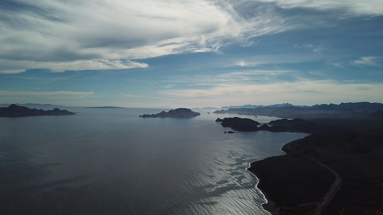
4: Puerto Escondido areaAndyP - 6-16-2020 at 11:22 PM
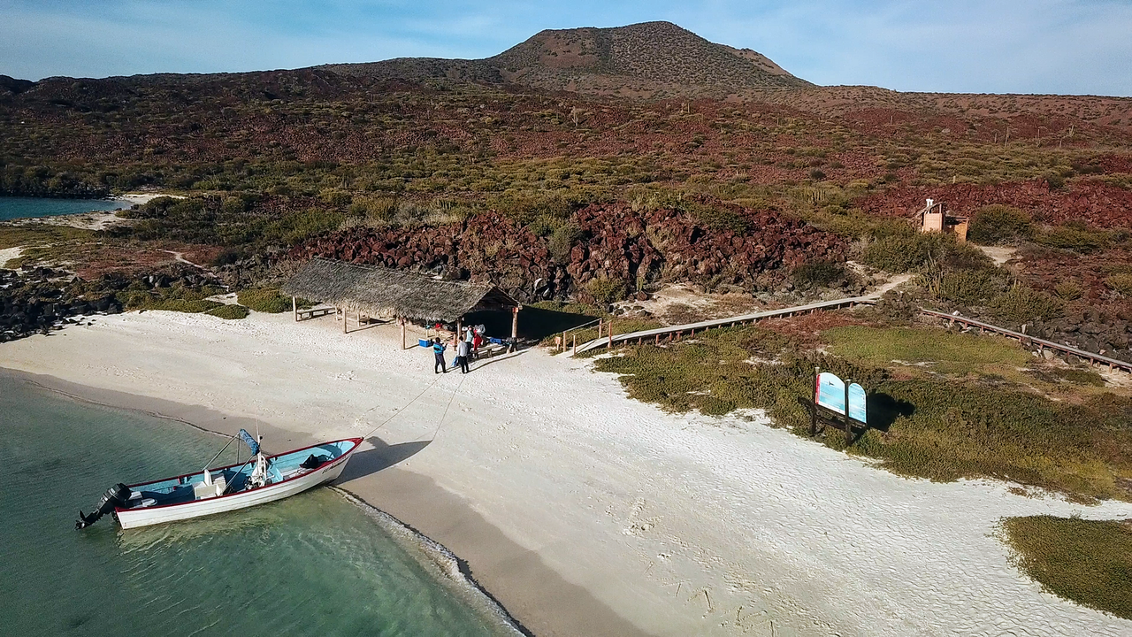
5: Isla Coronado?BajaBlanca - 6-17-2020 at 02:33 AM
JZ This is so fun! Beautiful photographs to boot.BajaMama - 6-17-2020 at 06:38 AM
Thanks for sharing.
#3 Laguna San Ignacio or Laguna Ojo de Libros
#6 Gotta be San Javiercardo7 - 6-17-2020 at 02:36 PM
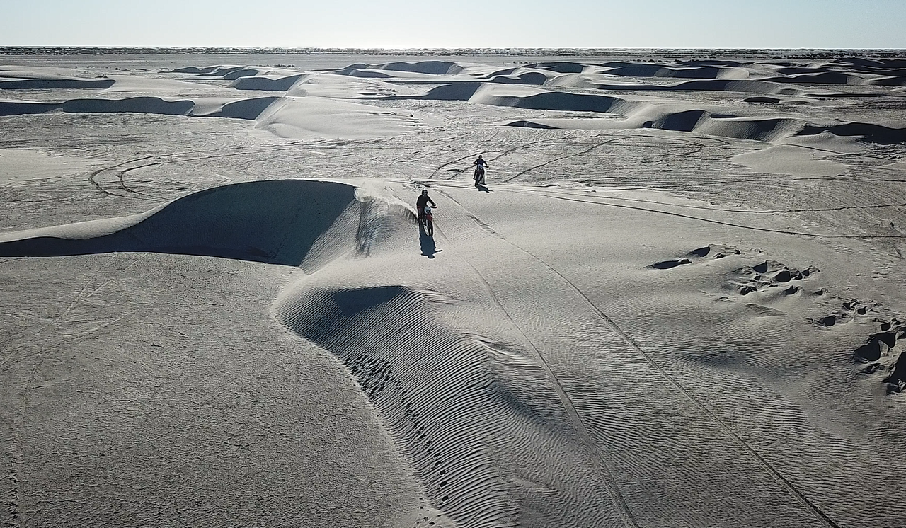
#8 26.453 -112.812 near El Datil but could be half dozen other dune area’s
#9 24.835. -110.674. No question 5 1/2 to 6 miles south of San Evaristo TMW - 6-17-2020 at 02:41 PM
#3 looks like the Rio Colorado near Campo Hardy.TMW - 6-17-2020 at 02:44 PM
#9 south of LA Bay.bajafreaks - 6-17-2020 at 02:58 PM
#10 Road to Punta Pescadero ? 4x4abc - 6-17-2020 at 03:22 PM
amazing how little of Baja is known - even by the ones who travel it oftenJZ - 6-17-2020 at 07:11 PM
Changed up #6. It was too easy. Added a 2nd pic to #1 to make it easier.
7 spots have been identified properly in total.
[Edited on 6-18-2020 by JZ]Maderita - 6-18-2020 at 10:24 AM
#8. North of Guerrero Negro, just north of the airport, unofficial name "Sarafan Dunes" ? Just guessing, because it is easy to get to.TMW - 6-18-2020 at 04:12 PM
#1 is Punta LobosJZ - 6-19-2020 at 02:06 PM
1. Punta Lobos in the Seven Sisters
28.884275° -114.427623°
2. A cool canyon on the road from MX 1 to Ensenada San Basillo
25 miles North of Loreto.
26.385130° -111.546388°
3. Mangroves on the South end of Isla San Jose
About 7 miles from San Evaristo
24.886448° -110.573445°
4. Looking SE towards the Southern end of Isla Carmen, Isla Danzante, and Puerto Escondido.
25.821702° -111.260364°
5. Isla Coronado
26.111302° -111.284477°
6. Bay on Isla Espiritu Santo
North of La Paz
24.478769° -110.353736°
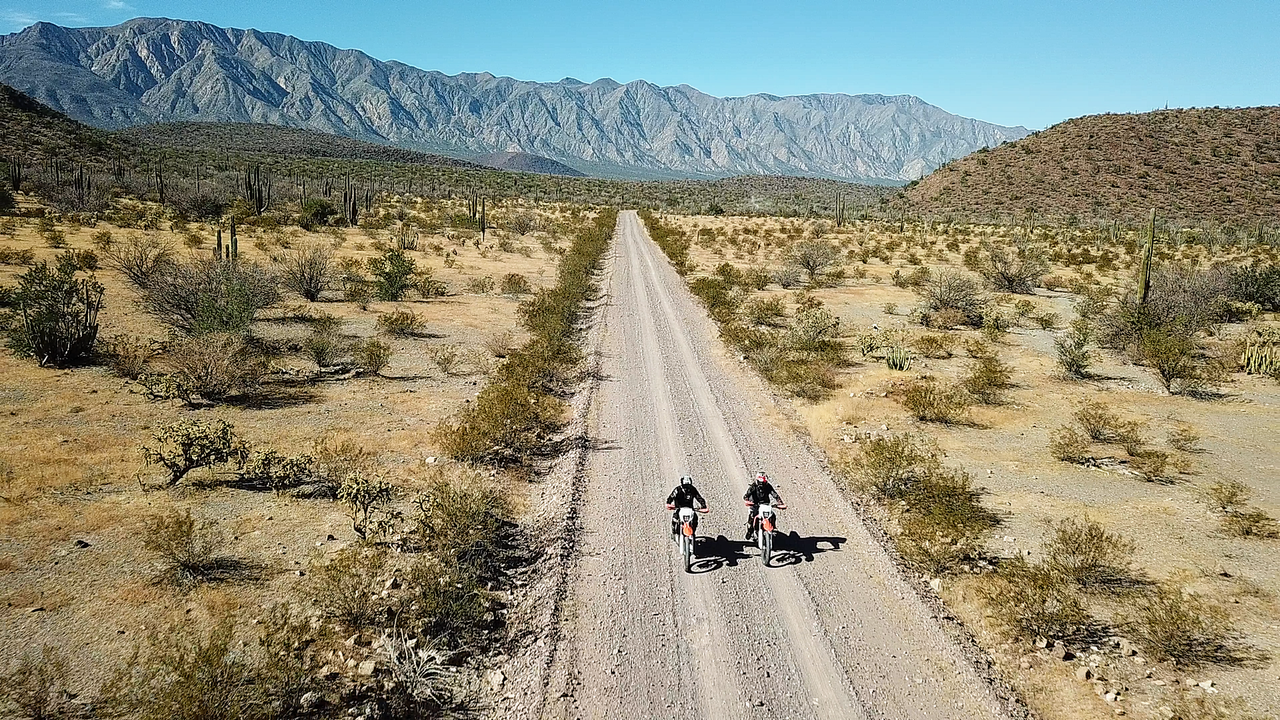
7. Riding the road South of BoLA to San Rafael
I'll have to look harder to figure our where, exactly.