Yes, thanks... we did learn that from geoffff and others as well. It was the southern access road, in the canyon I was hoping to hear a km. marker
for.
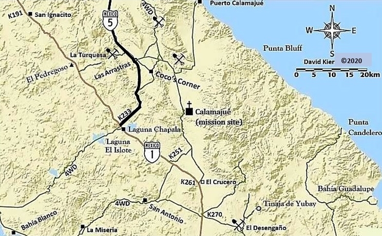
Another fun fact we learned is that the kilometer markers jump up 3 extra kilometers south of Km. 167 (where the pavement had ended for several
years)... That makes all those beyond off by 3. The north Coco's road being Km. 179 (instead of 176)! |