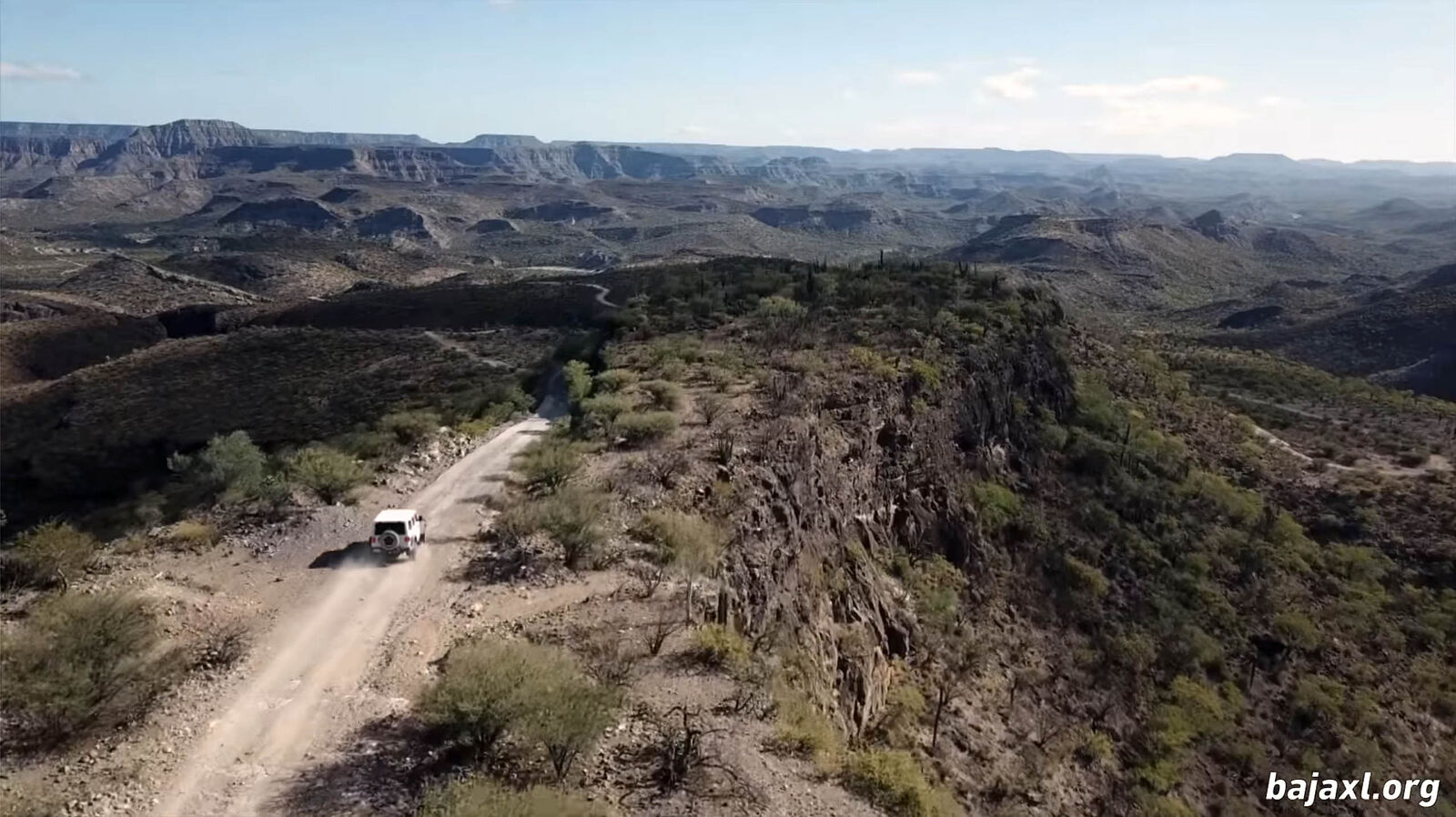
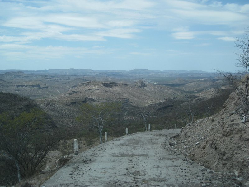
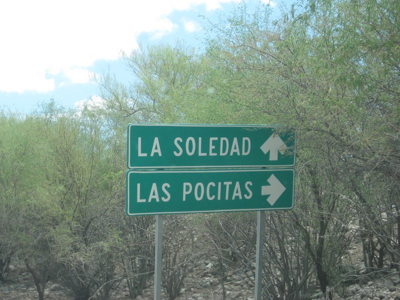
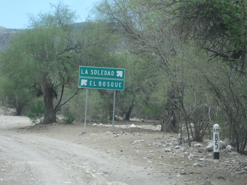
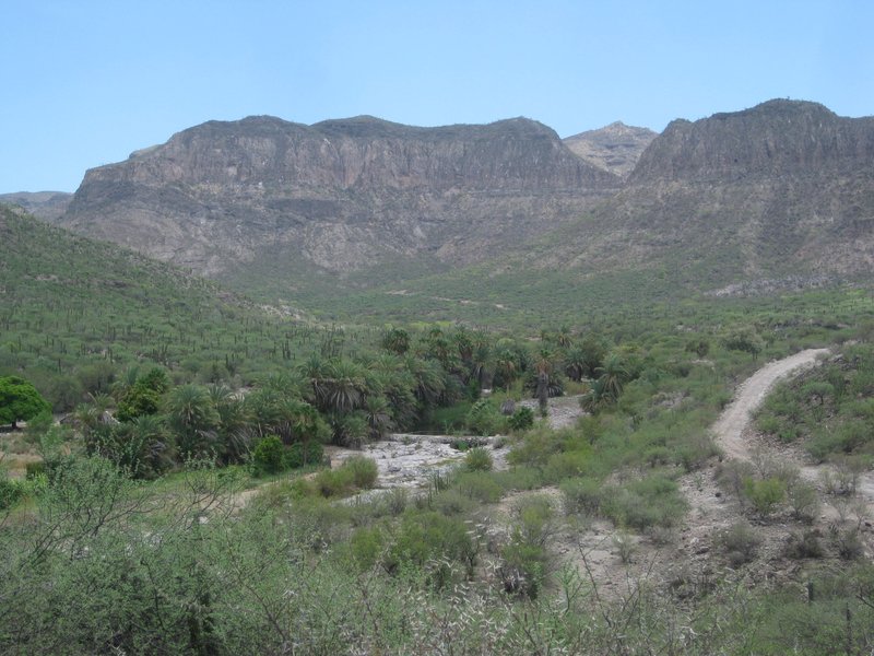
I drove much of that road in late January of this year, except I headed east from Las Pocitas, the southern route shown on David's map.
I encountered no brush in need of whacking, and from a trip a couple of years ago, I doubt that the northern road would need a trim either!
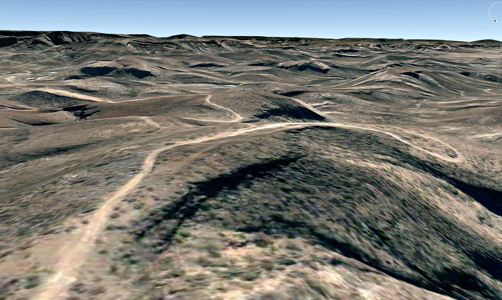
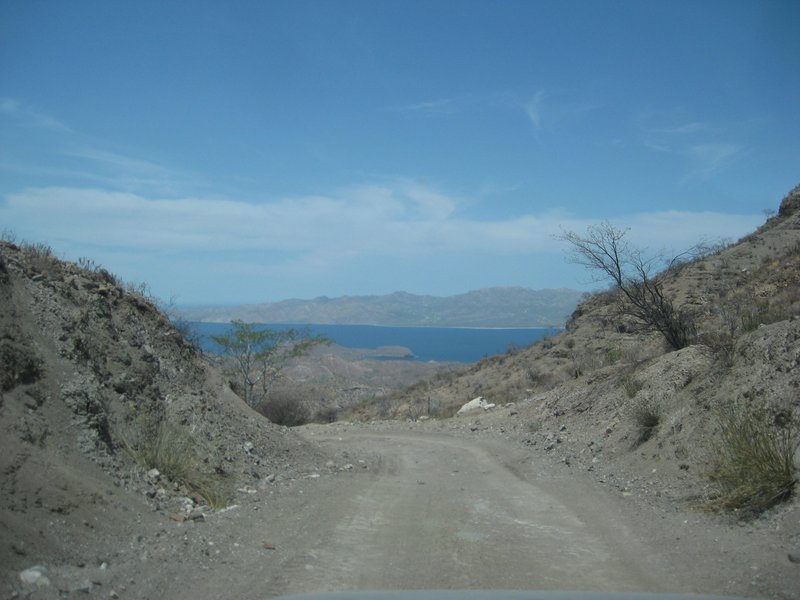
The steeper portions of the road (on the east slope) were slow going, but doable even in a 2wd with good clearance. Some parts were slow enough that
I let my dog out to run ahead of the Trooper
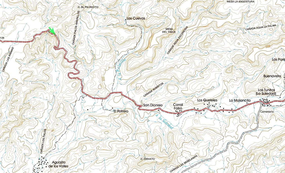
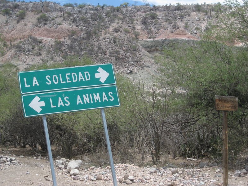
You may have some confusion getting through La Soledad. The old road on the north side of the drainage was closed off, and a new route on the south
side was cut into the hillside. It was not done very well!
I passed a large front loader that had slipped off a very steep side slope on the new road, and it is very likely still there!
I am hoping that the detour was done illegally by the ranch owner that the old road passed through and has been re-opened. Maybe someone else can
give us an update? |