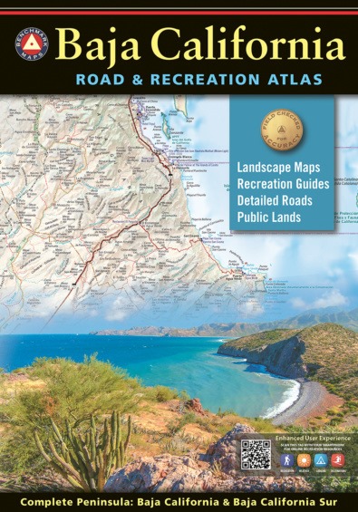
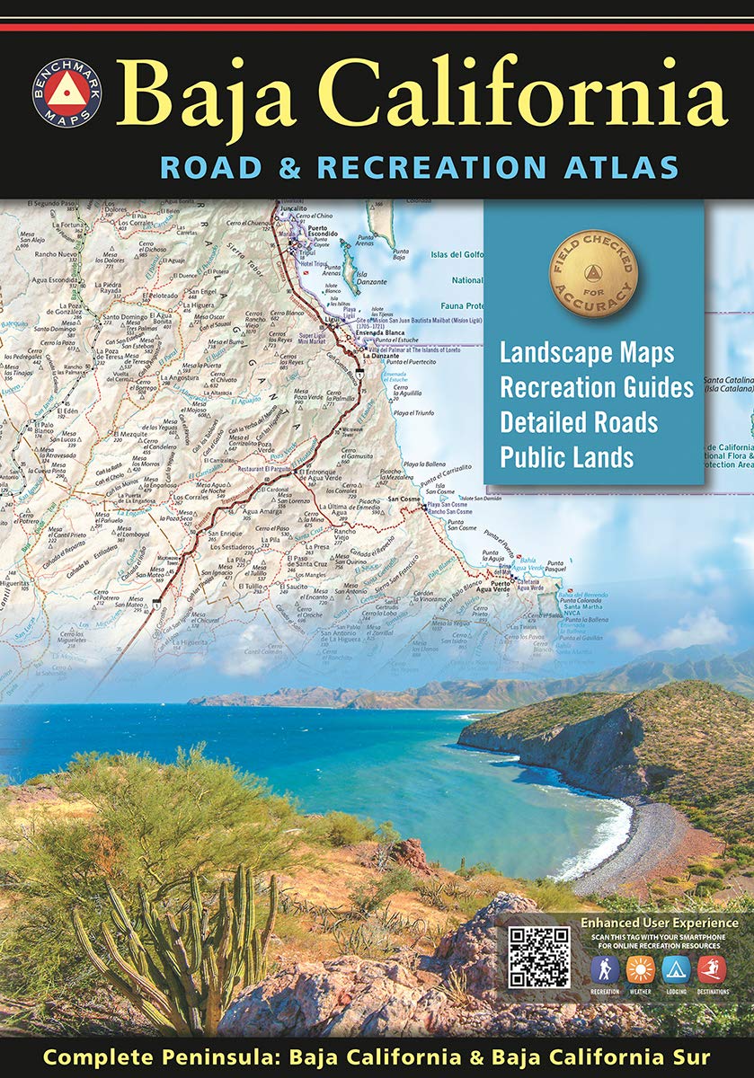
Naturally, I have been wanting to share this news, but couldn't say much until now.
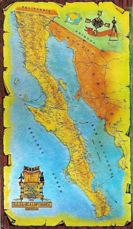
We 'Baja People' have all been hoping for a replacement for the 2009 (and earlier editions) of the Baja California Almanac and Baja California Topo
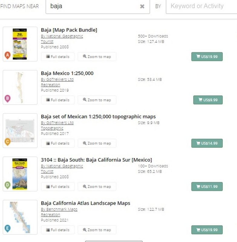
Atlas, from Landon Crumpton.... 1986 to 2009 editions.
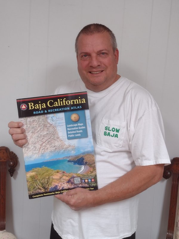
While I cannot show you the book cover, yet, I can give you some idea of what it is like and hope to save you from buying any more old Almanacs for
$600 on eBay!
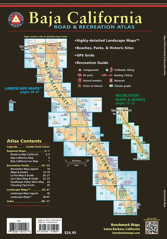
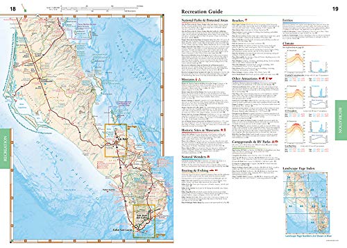
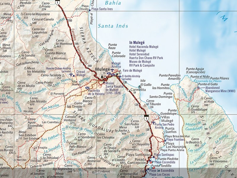
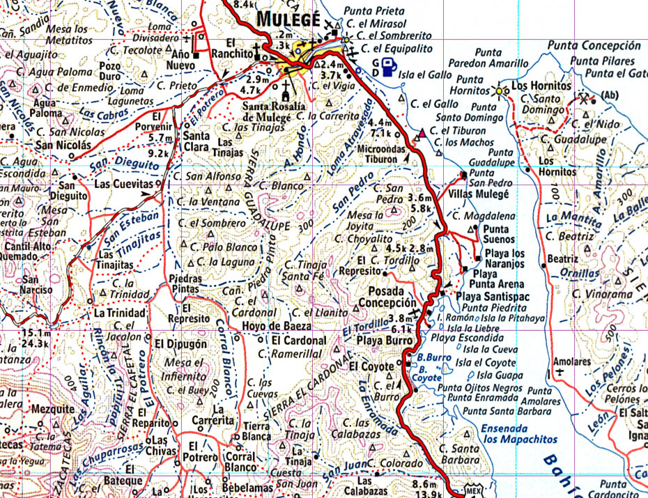
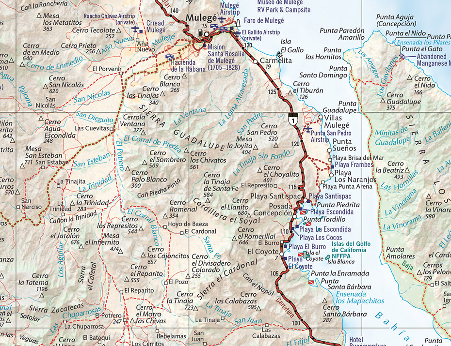
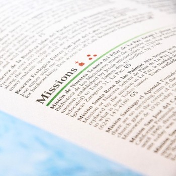
Like the 2009 Almanac, the new maps are about the same size, but the book will be a bit thicker. The new Atlas will have more specialty maps and pages
on travel information and points of interest.
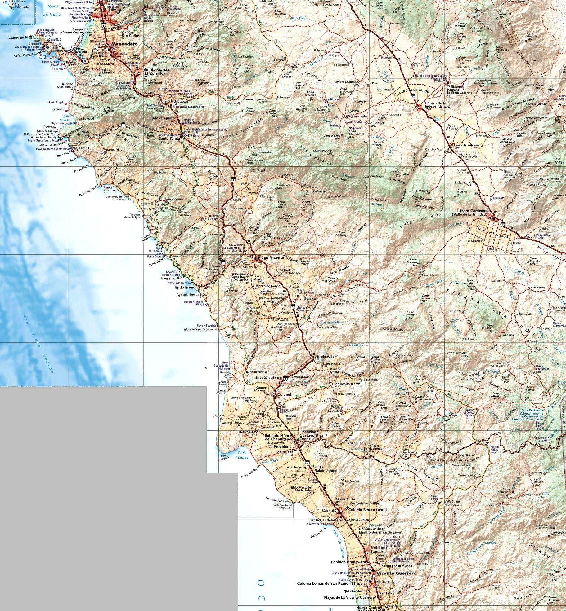
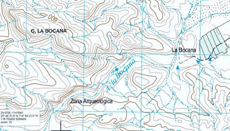
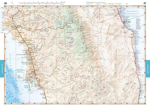
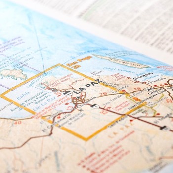
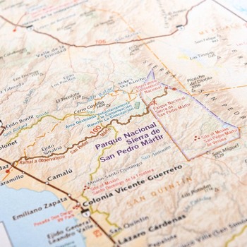
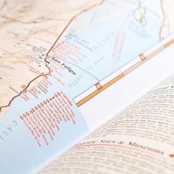
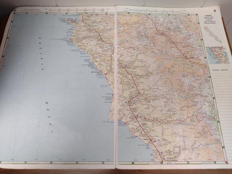
Topography is full color shaded relief. Classified and unclassified roads and trails are included. As an editor for the maps, I have attempted to
correct the many errors that often are on the Mexican government base maps. I have also updated the road information as needed, including showing all
the new paved roads, and the dirt roads correctly classified.
The Baja Divide route is featured, and we have added the El Camino Real tracks from Loreto to El Rosario with credit to www.caminorealbaja.com for their 20 years of ground-proofing the true trail routes.
No map is 100% free of errors but I have done my best going over them many times the past few months. The publishers are very enthusiastic to have a
map book that can be used again, with the glee we had over the Almanac.
Based on how it is received, future editions are already planned and all of you can give feedback for any changes or corrections!
Stay tuned to Baja Nomad for more details coming next month!
|


 how many days do you rest between workouts