Quote: Originally posted by mtgoat666  | Seems like the border xing street arrangements change every now and then, creating perpetual confusion and consternation...
Too bad there are all these map-heads on baja forums/FB pages, and none of them post/pin current and updated border maps (and remove the obsolete
maps)...
Need some retirees with gps and adobe illustrator to take up cartography hobby...
[Edited on 3-24-2021 by mtgoat666] |
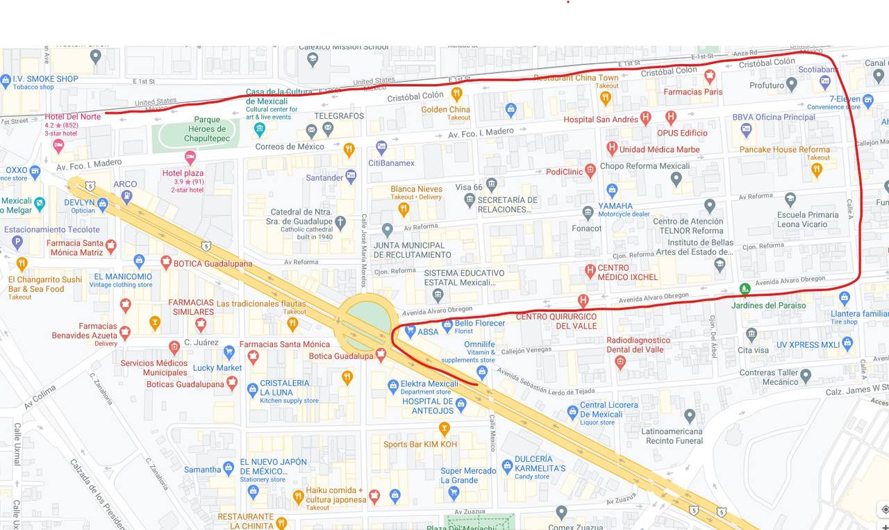
Naw, it's much simpler than that.
Just need to record a track on a GPS app, and post a pic of the satellite image with track overlay, and actual track in kmz. This is a 30 second
exercise.
|

 love poems and quotes