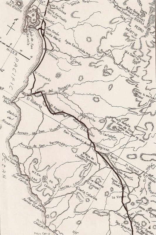
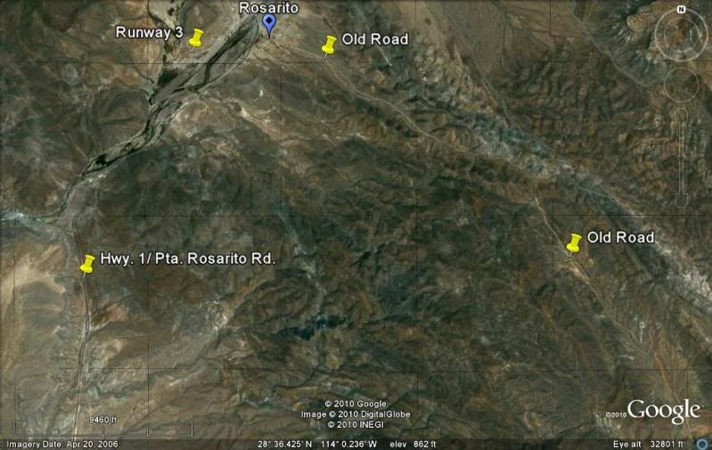
El Rosario to San Ignacio:
There are many places you can see, drive on the old road where Hwy. 1 isn't on top of it. Much of the distance, the old road is within a mile or two
of the new. The old road served as a pilot road and to bring supplies in to the construction crew. However, the main road of the 1960's went from
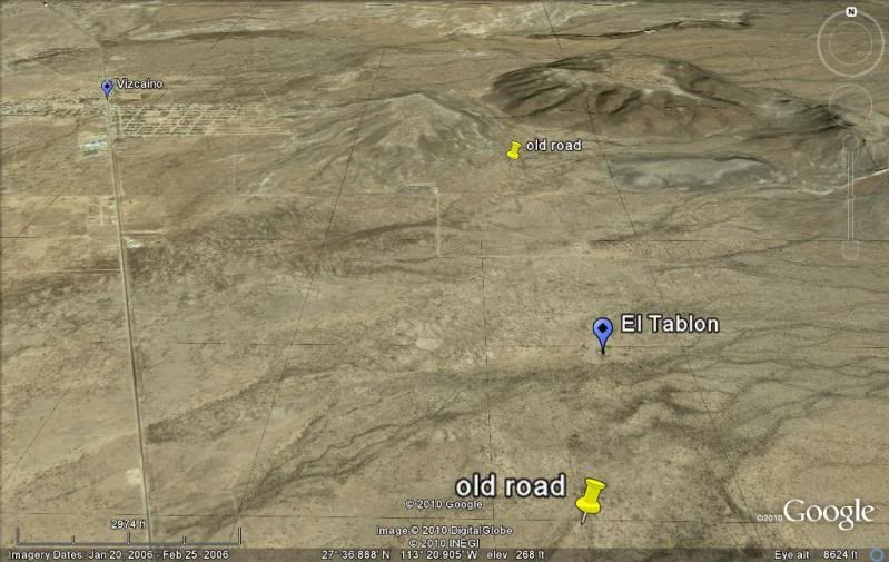
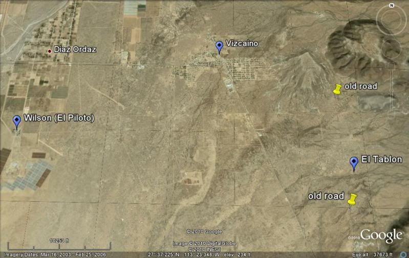
Rosarito south then southeast to El Arco then south to El Tablon (which is just east of Vizcaino). The new highway was built south to north here and
headed from near El Tablon NW to Guerrero Negro the north to Rosarito. The northbound crews did not meet the southbound crews until San Ignacito (just
10 km. or so south of Santa Ynez).
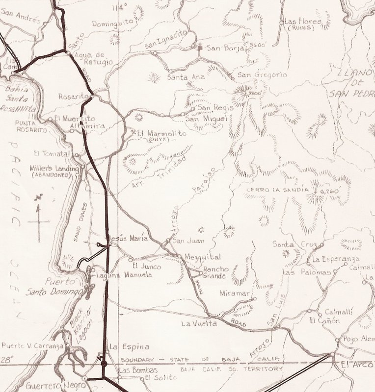
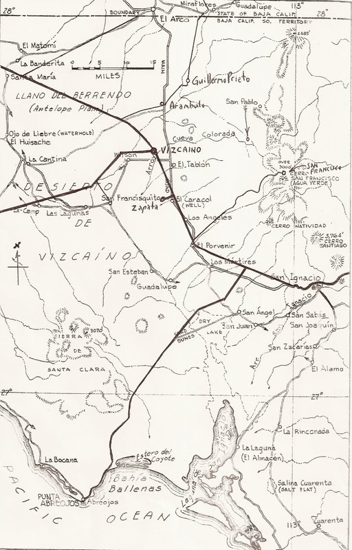
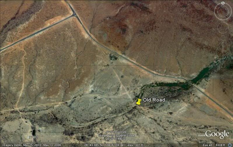
San Ignacio to just past Bahia Concepcion:
The old and new roads are very close if not the same location. Along Bahia Concepcion, the old road was closer to the water, even dipping in the water
at high tide while much of the new graded road (since 1970) was higher up or more inland... and was paved in 1972.
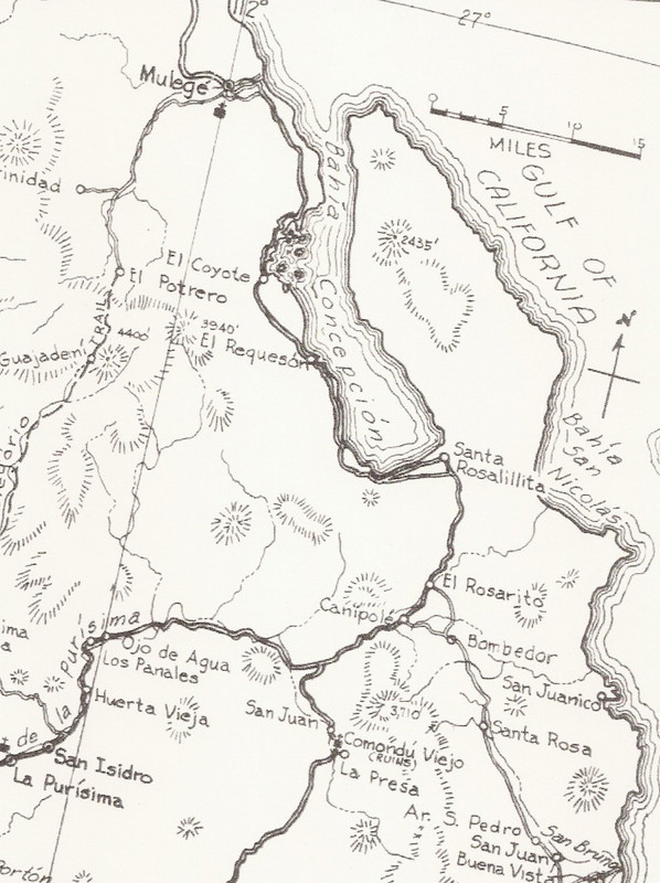
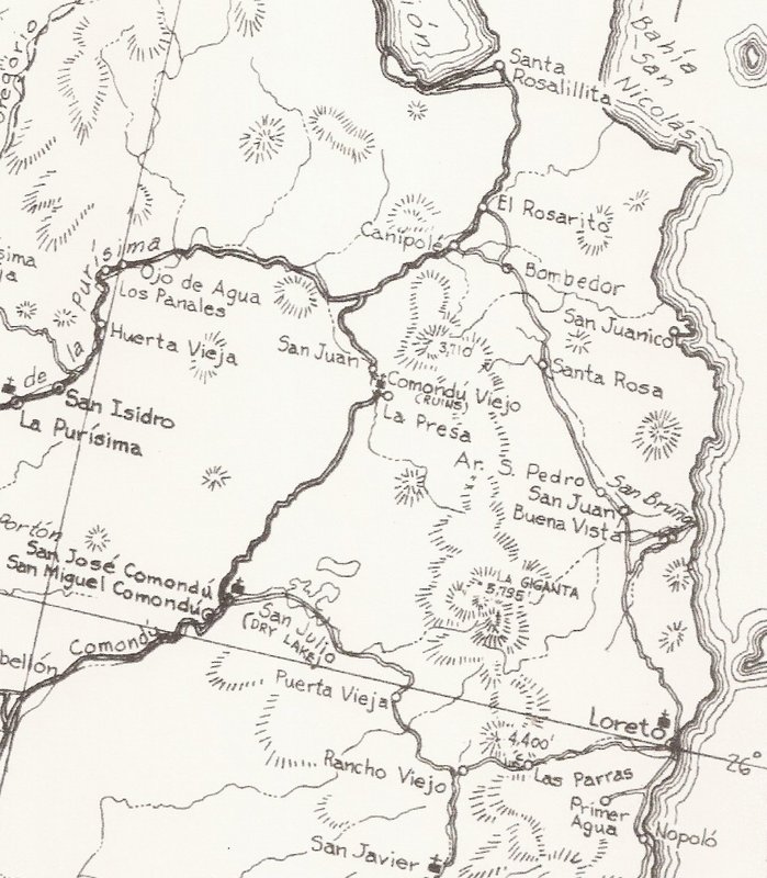
Bahia Concepcion to Insurgentes:
The old road cut across Baja through Comondu then south. The new highway goes south to Loreto and on to Ligui before crossing west to Insurgentes.
Insurgentes to La Paz: Since the late 50's when the long straight roadbed was made, the tow roads are the same. However, in 1966 pavement began about
100 miles north of La Paz. 50 miles short of the point it reached in 1961.
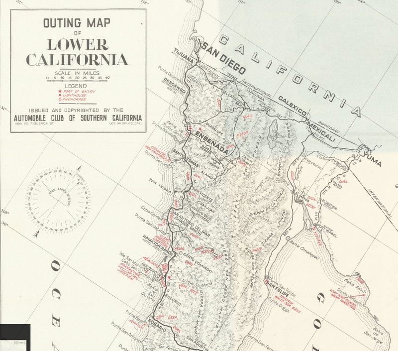
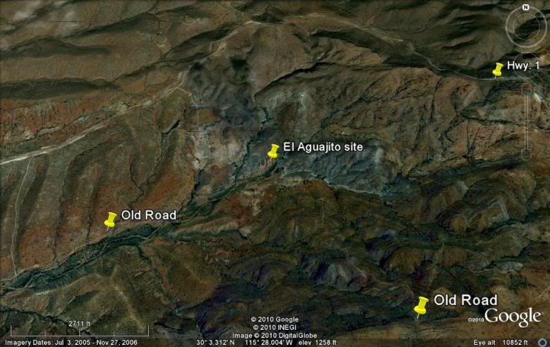
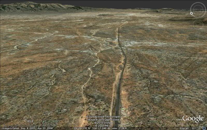
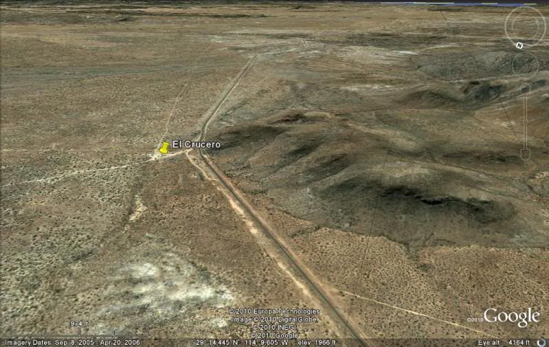
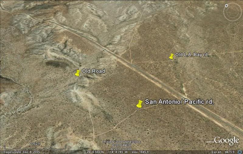
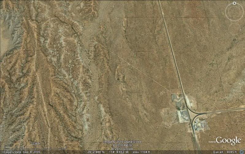
Some samples of my satellite maps showing the two roads (note the compass in the top right corner, as the images are pointed in different directions):
Leaving El Rosario valley:
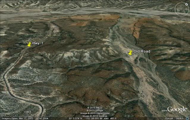
El Aguajito:
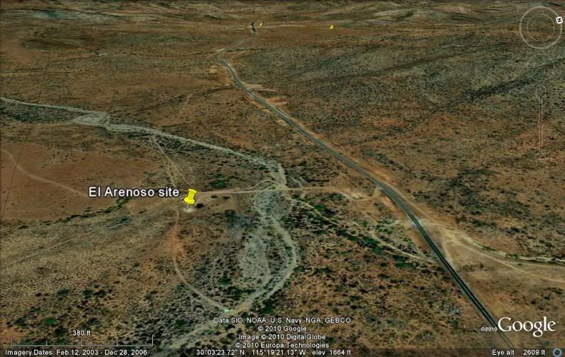
El Arenoso:
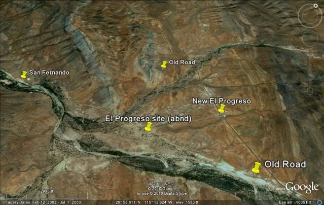
El Progreso:
Penjamo:
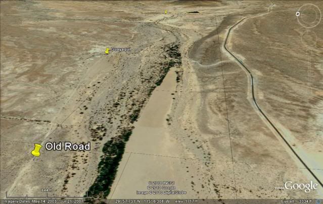
Guayaquil:
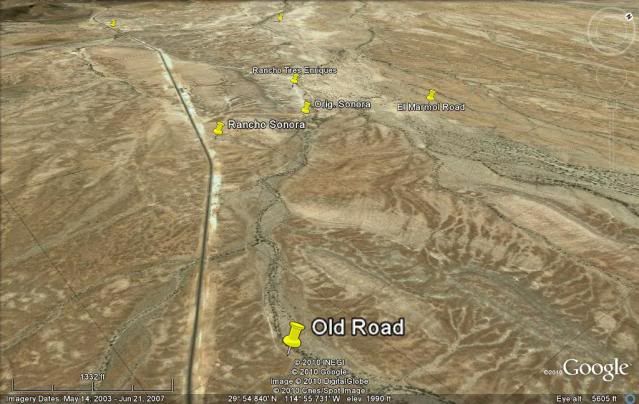
Sonora:
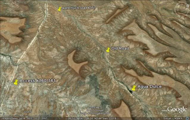
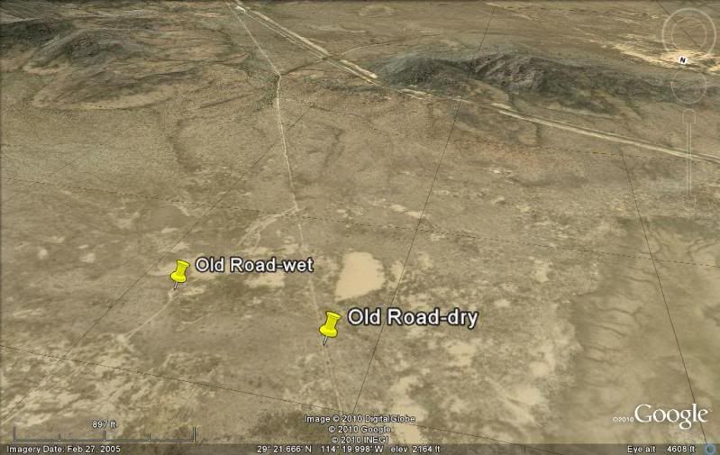
Agua Dulce:
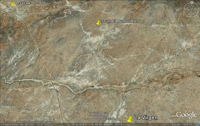
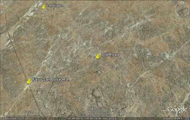
La Virgen:
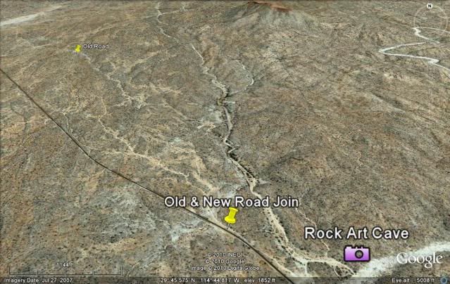
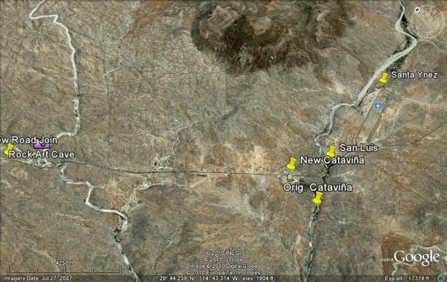
Catavina:
Pedregoso (boulder hill):
South Chapala:
South Portezuelo (old road on left):
El Crucero (south of El Crucero, that is not the old road on the left):
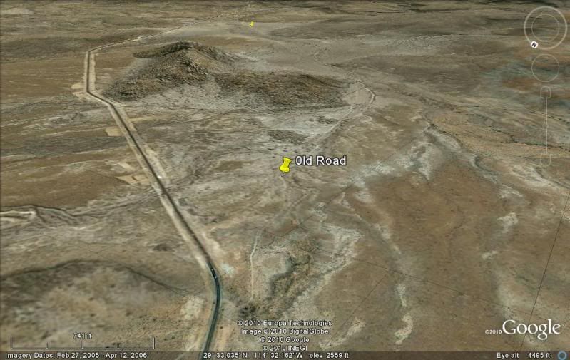
Old L.A. Bay Jcn.:
New L.A. Bay Jcn.: (old road on far left):
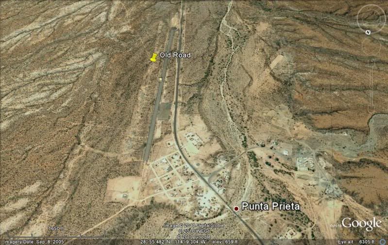
Punta Prieta:
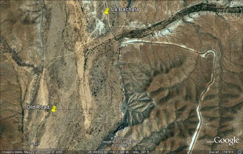
La Bachata/Juarez (old road on right, new climbs hill on left):
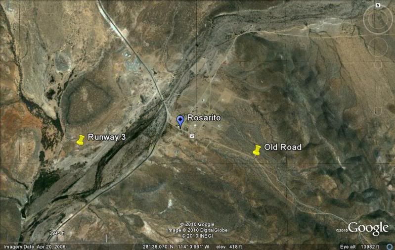
Rosarito Split old/new:
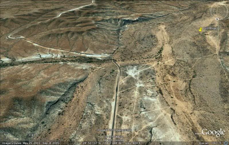
Santa Rosalillita Jcn.:
Vizcaino/ El Tablon:
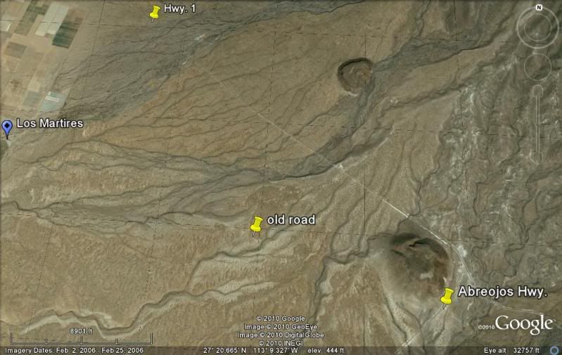
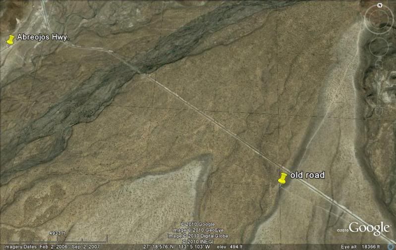
Crossing Abreojos Hwy.:
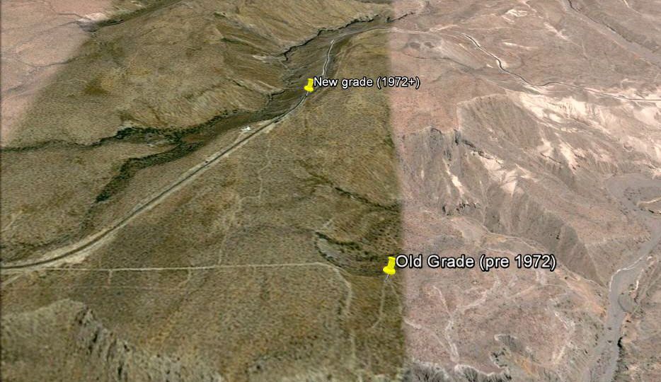
East of San Ignacio, the original Cuesta del Infierno and the new:
 |