Quote: Originally posted by 4x4abc  |
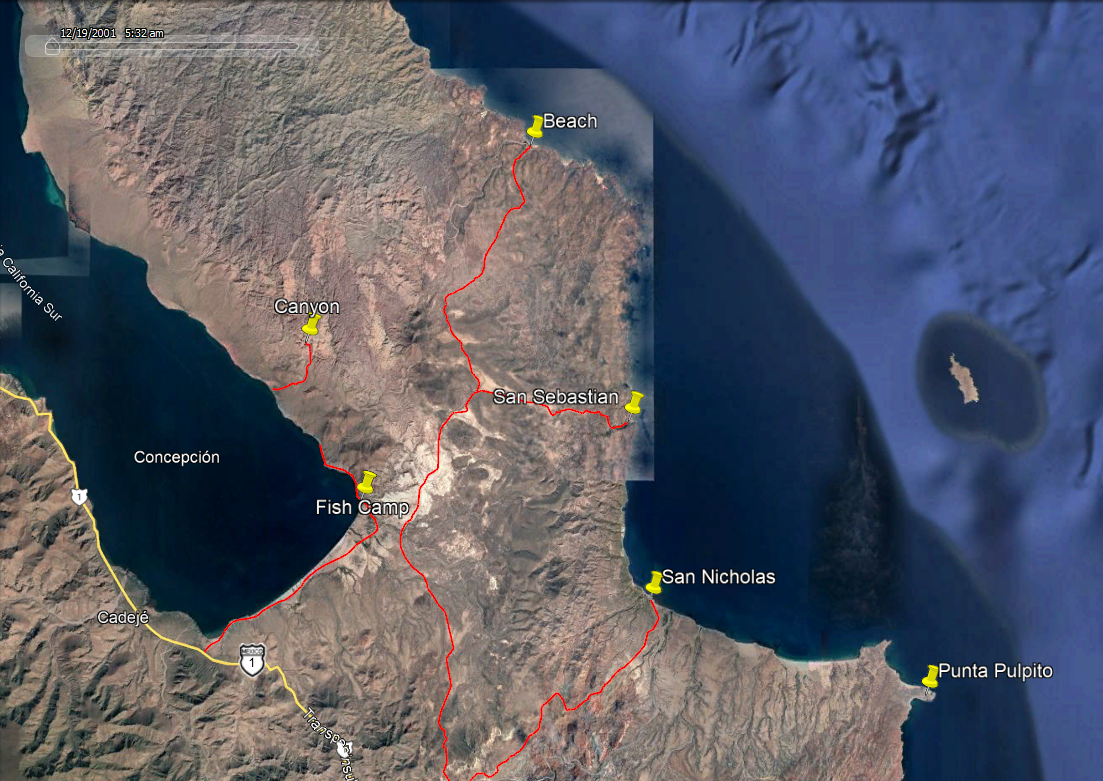
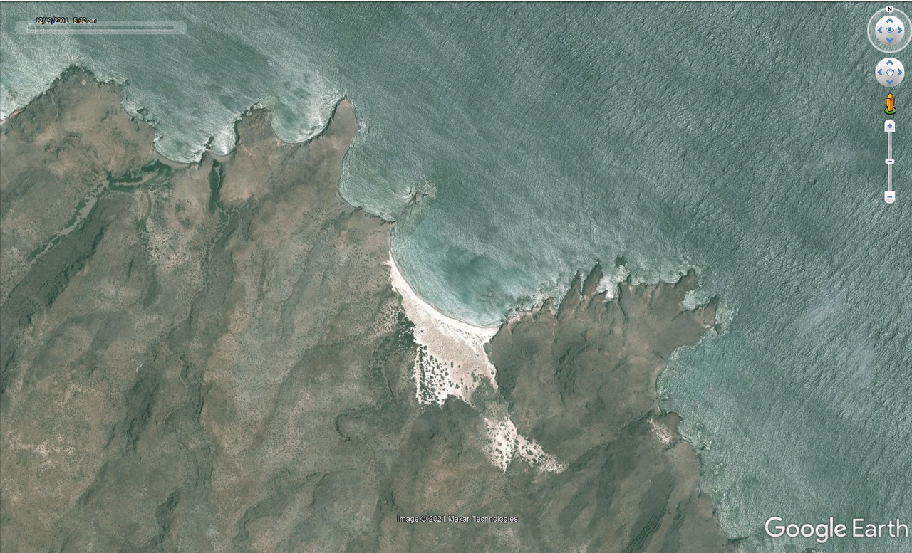
I have had my eyes on that beach as well. There is a new road going almost half the way there. Maybe an overland expedition this winter?
|
I'm more of a boater at heart than an offroader.
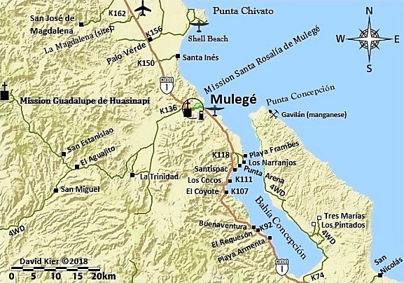
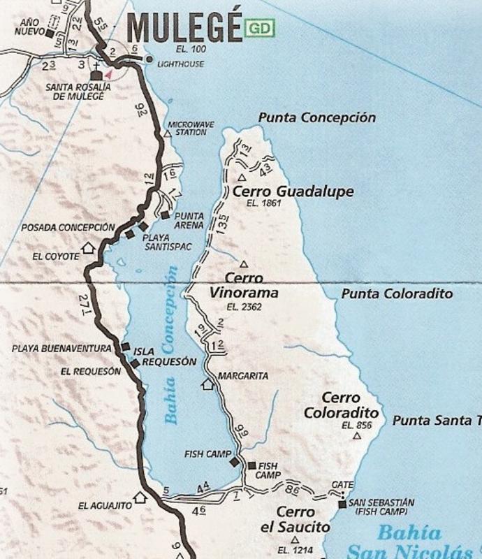
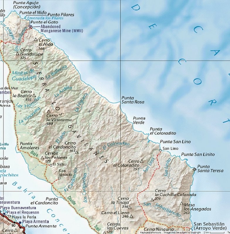
The beach itself looks spectacular. However, what makes it really special to me is there are almost 10 little bays in the 2 miles around it.
Would love to drop the anchor at the main beach, and then explore to the North and South on a Zodiac. Getting in between tight rocks like those on an
inflatable is incredible fun. You always see some really interesting things.
I'll go by boat and meet you there, how does that sound?
|