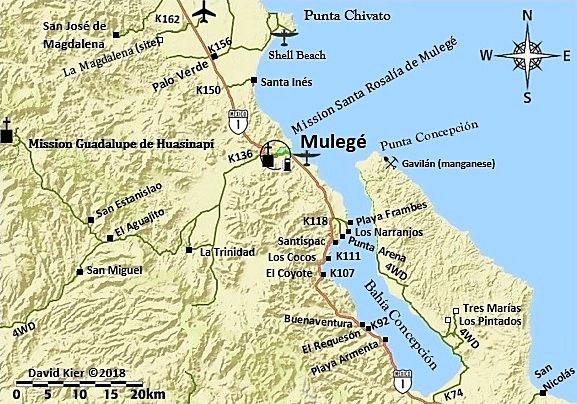
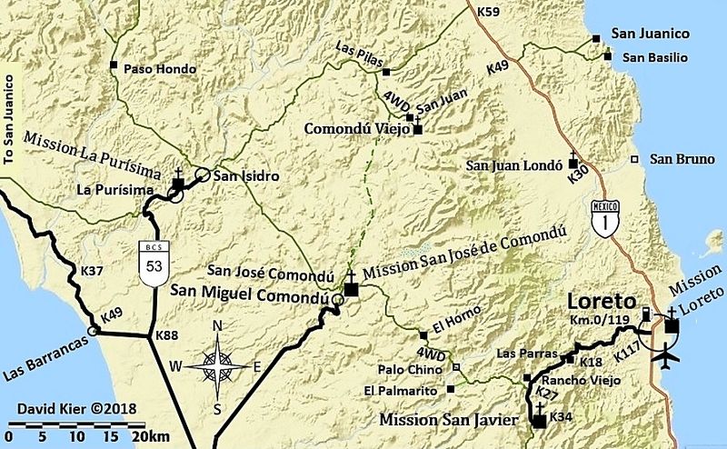
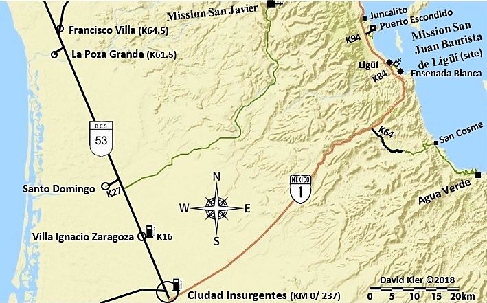
David, other than hwy 1 to Ciudad Insurgentes and 53 north, none of those routes are suitable for the OP's ride. OP didn't say what bike they were
riding other than "street" or "touring". Depending on a rider's abilities some of those other routes can be challenging for big adventure bikes. A
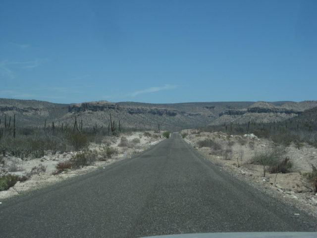
modern street bike with low ground clearance and expensive body panels is going to be extra challenging on anything but pavement or smooth hard pack.
For an analogy, cosider what it would be like if you were to trade your toyota in for a corvette and then drive those same back country roads. It
might be doable but probably not much fun. |