BajaNomad

Calexico to Cabo San Lucas

RobbyZ - 10-17-2021 at 02:11 PM

We are driving down in 10 days. First Time not going thru Tiquana. Any tips would be helpful.

David K - 10-17-2021 at 02:46 PM

What are you driving?
How many days do you want to spend driving?
Camping or motels?
What sites are interesting for you?

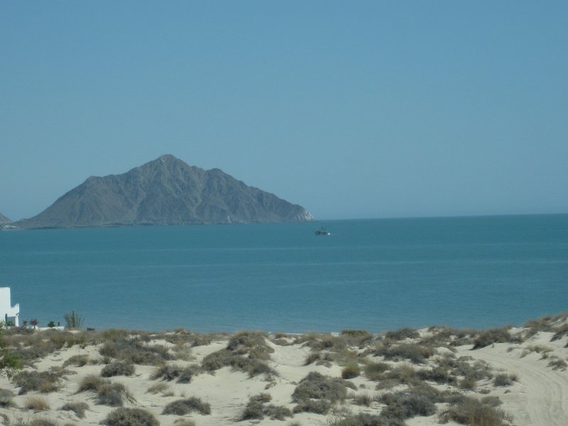
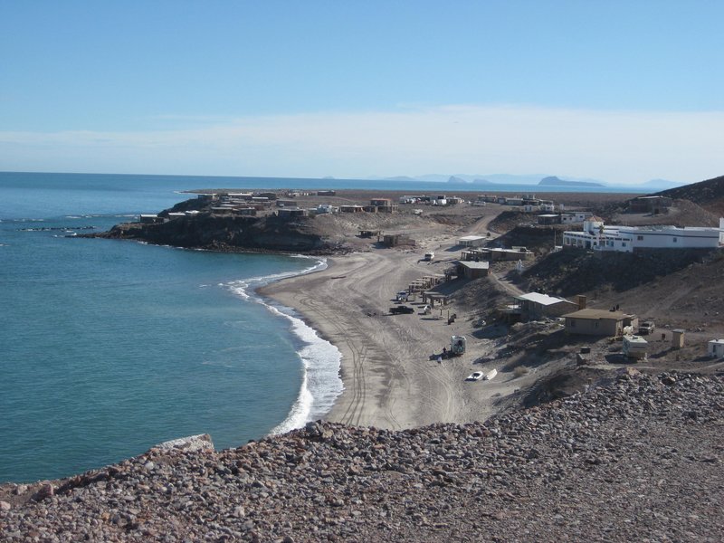
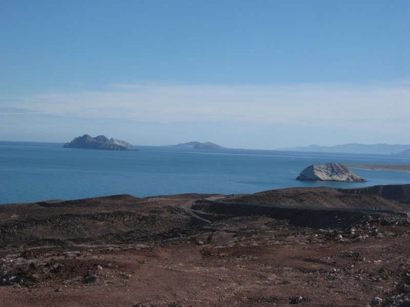
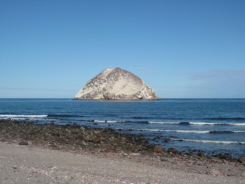
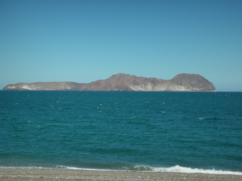
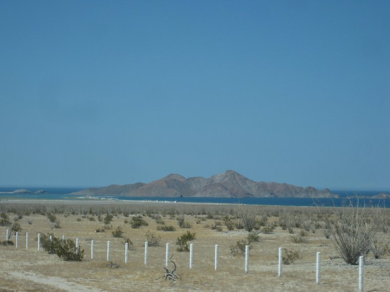
Hwy. 5 is less busy, less towns, more views like this:


Bahía San Felipe (Punta El Machorro)


La Costilla


Enchanted Islands (Islas Encantadas)


El Huerfanito (The Little Orphan)


El Muerto (The Dead Man)


Isla San Luis Gonzaga

[Edited on 10-18-2021 by David K]

Don Pisto - 10-17-2021 at 04:27 PM

Quote: Originally posted by lencho  
Quote: Originally posted by RobbyZ  
We are driving down in 10 days. First Time not going thru Tiquana.

This is not getting on your case at all, but I'm curious how you came up with that spelling of the city name; on a keyboard those letters don't often get mixed up as a typo... is that the way you've always spelled it?

That rendering kind of makes sense (from hearing it), but I've never seen that spelling before.


sounds like Robby has a famous san felipe bar in mind!:yes:

unbob - 10-17-2021 at 07:17 PM

Also some scenery between Mexicali and SF that looks like the far-side of Mars! No water, no plants - only rocks, dirt and sand.

But a beautiful easy-driving highway saving hours and miles of driving vs hwy 1 through Ensenada. Happy Trails!

David K - 10-18-2021 at 05:15 AM

Quote: Originally posted by unbob  
Also some scenery between Mexicali and SF that looks like the far-side of Mars! No water, no plants - only rocks, dirt and sand.

But a beautiful easy-driving highway saving hours and miles of driving vs hwy 1 through Ensenada. Happy Trails!


Indeed!
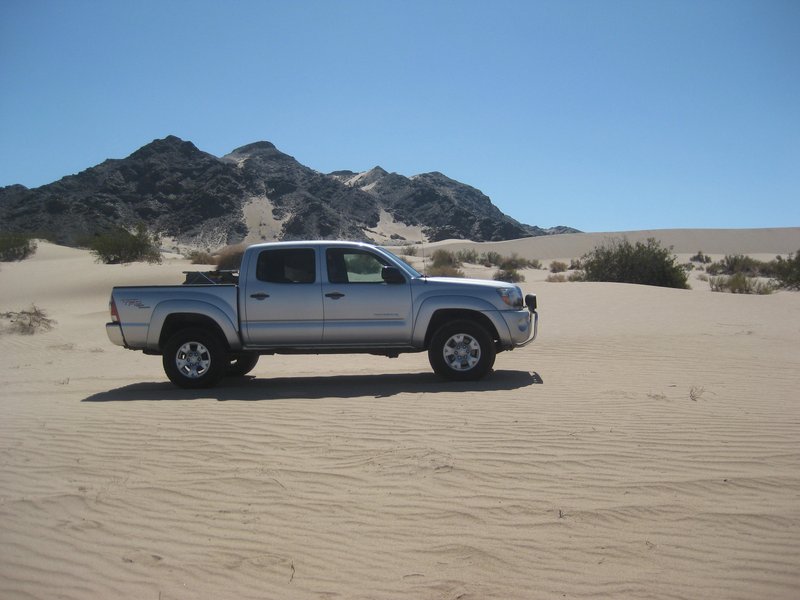
This sand dune field is halfway to San Felipe from Mexicali:


My Tacoma loves driving in sand!

RobbyZ - 10-18-2021 at 07:30 AM

Thanks everyone. Just wondering if it is safe from Mexicali to Guerro Negro. I had heard of a car jacking recently.

vandy - 10-18-2021 at 07:58 AM

It's safe.
I personally will never take the congested Tijuana
route again.
Rather than worrying about carjacking,
make sure you can use a car jack.
Know how to change (or plug and re-inflate)
a blown tire. The road is fine, just not much
traffic.
Carry drinking water.

RFClark - 10-18-2021 at 10:01 AM

Stop at the 5/1 junction for great Mexican food!


92827E30-C1BD-4CD0-B576-EDC2D1DC43B3.jpeg - 195kB

Bob and Susan - 10-18-2021 at 01:23 PM

those pictures do not represent what it looks like from the road on Mex 5

I have driven it twice in the last 2 months and it takes 10 hours from mulege to the border

san felipe is quite a distance from the border

plan on having enough gas to get to guerrero negro or jesus villa maria

there are very few services on the road
the gas station south of san felipe may be open or closed

no stores available either

the road is very good....but desolate
if you break you are on your own...plan ahead

geoffff - 10-18-2021 at 01:32 PM

Quote: Originally posted by David K  
This sand dune field is halfway to San Felipe from Mexicali:


Hey David, where are these dunes?

My guess: here? 31.8628, -115.1823


geoffff - 10-18-2021 at 01:38 PM

Never mind! I should have just consulted your map in the first place :)


David K - 10-18-2021 at 01:40 PM

Bob, maybe you need to slow down is have a look at beautiful Baja beyond the blacktop!?
Three of the five images are taken from the blacktop of Hwy. 5 or the paved shoulder. The closeup photos of El Huerfanito and El Muerto were taken near the water's edge, a mile from the highway... but both islands are clearly visible from the highway... and that is why I posted them.