but today I found another secret airstrip
no roads - no trails
no army intervention visible - yet
up in the mountains
since I am working on the San Borja hike, it is out there somewhere
Fatboy - 11-4-2021 at 09:01 PM
Can you tell how long it has been there?
Also, do you know anything about the helicopter crash near Calamajue (sp?) Mission site?JZ - 11-4-2021 at 09:14 PM
Also, do you know anything about the helicopter crash near Calamajue (sp?) Mission site?
Google Earth does not have enough image database to determine when it was built
it seems Google has removed some image layers
I miss them because they were great for finding trails
All I know about the heli crash at Calamajue is that it was close to the mission site
29°25'22.41"N, 114°11'41.38"W
I ran into a small aircraft crash site in Valle Calamajue once
kinda like a dry lake bed
nobody was around
plane in bad shape
I did not stay to find out more
29°33'22.25"N, 114° 9'46.43"WBajaBlanca - 11-5-2021 at 06:19 AM
Wowwww What a find. 4x4abc - 11-5-2021 at 08:09 AM
one area in Baja has a high concentration of airstrips:
the Pole Line Road
I counted 12 in the area
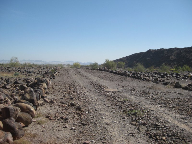
David K - 11-5-2021 at 10:19 AM
Yes, it seemed we actually drove on one coming to the Tee intersection on that trip:
4x4abc - 11-5-2021 at 01:15 PM
and that is probably the oldest one around there 4x4abc - 11-6-2021 at 10:21 PM
today's find is a perfectly shaped volcano with a virgin laguna inside the crater
"virgin" meaning no grafitti geoglyphs yet