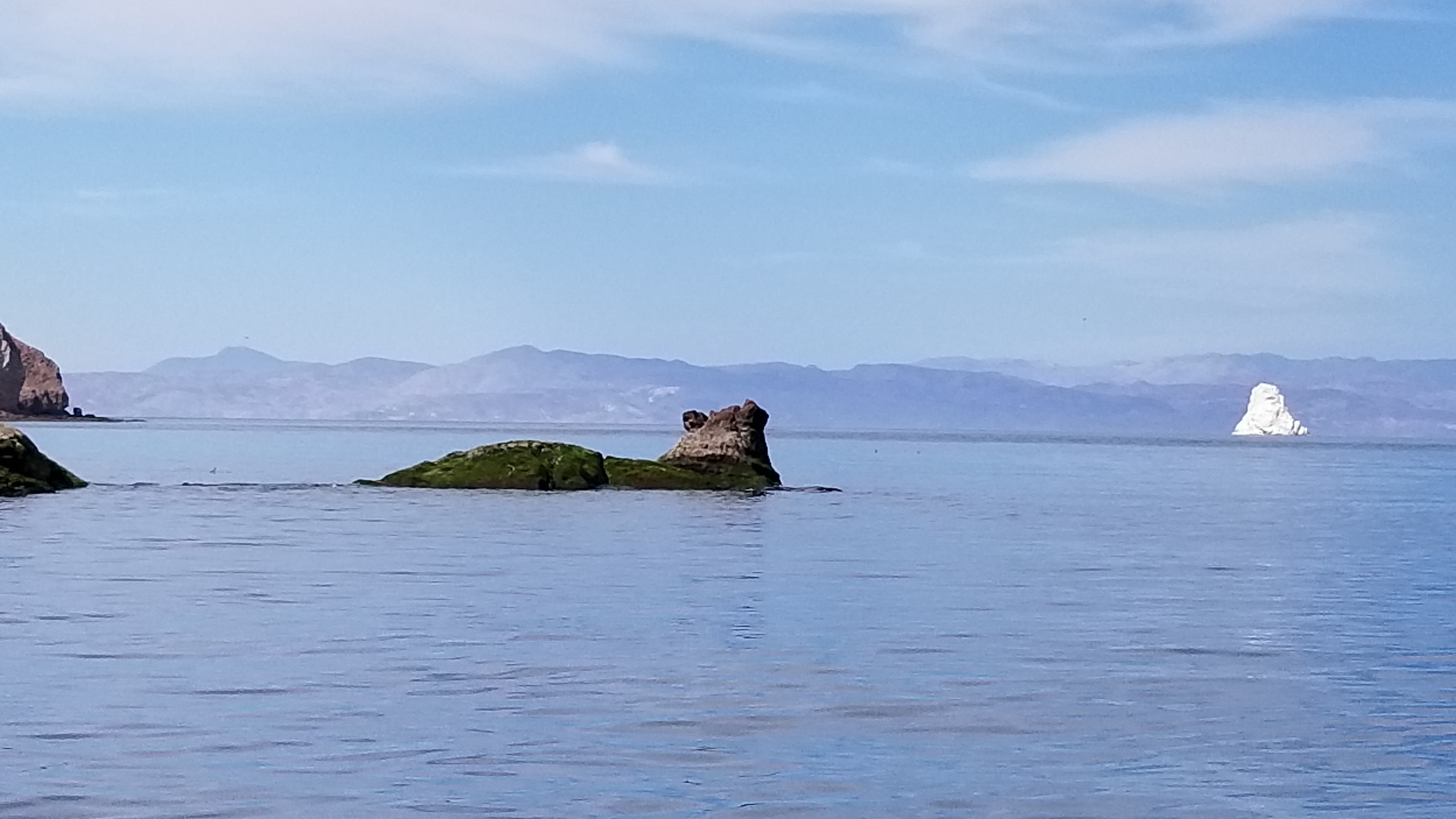
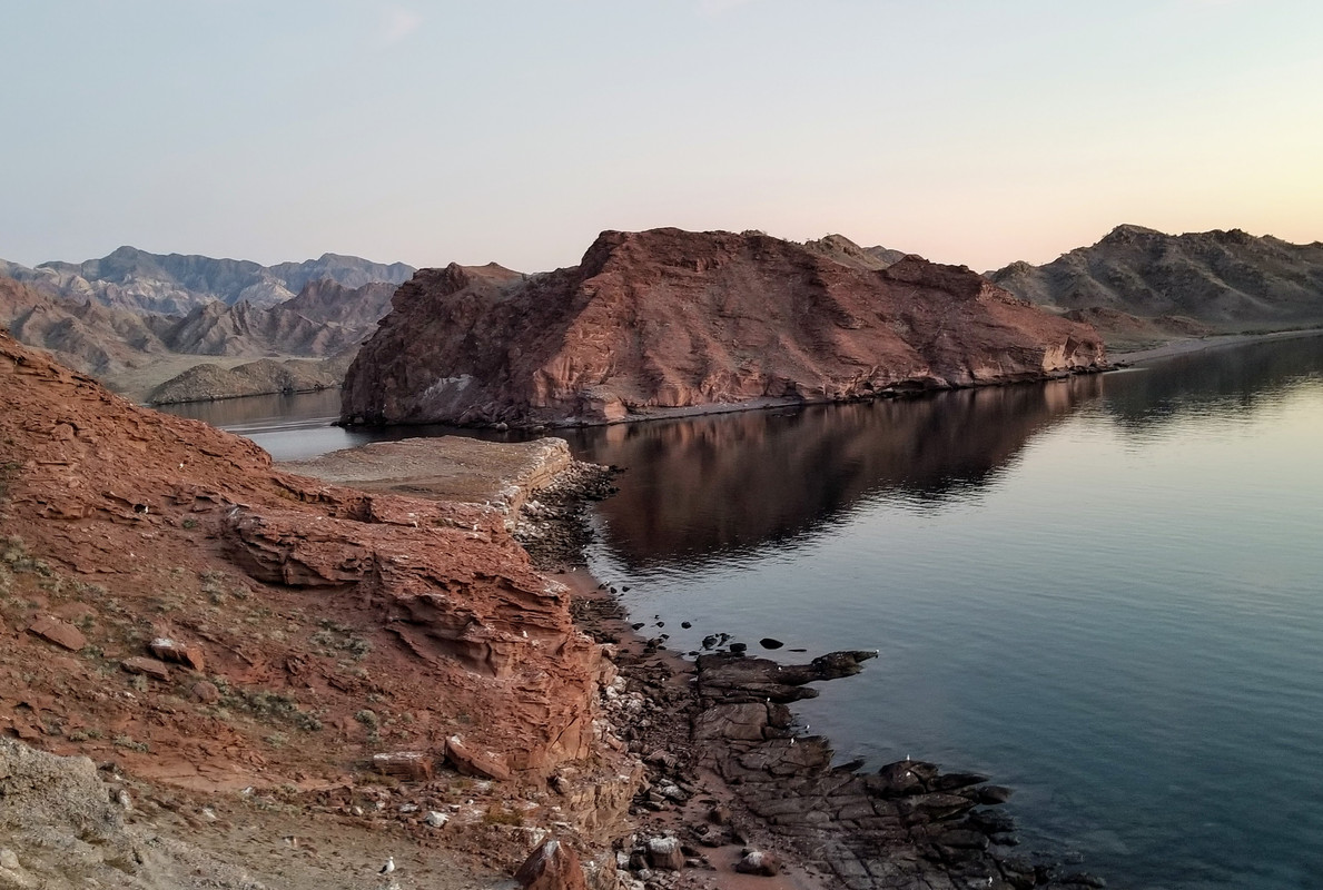
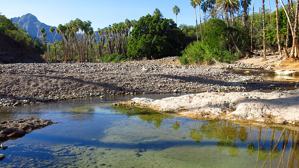
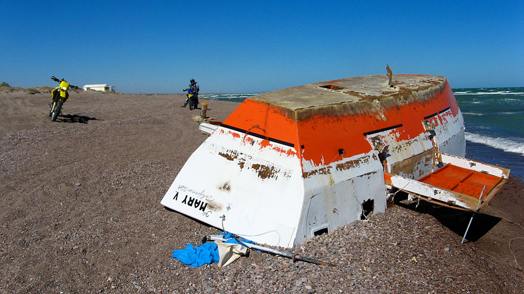
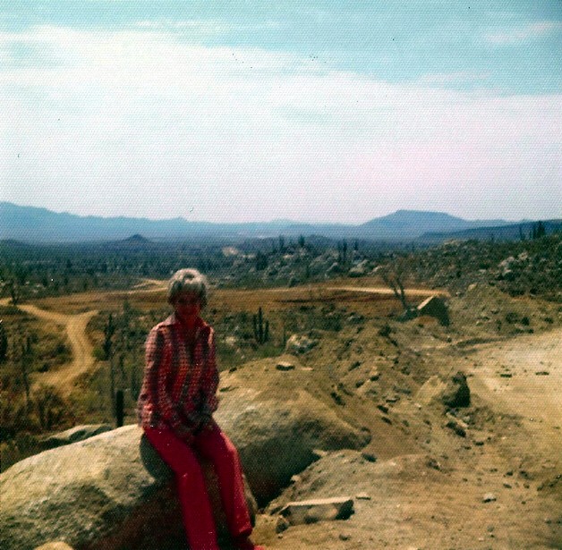
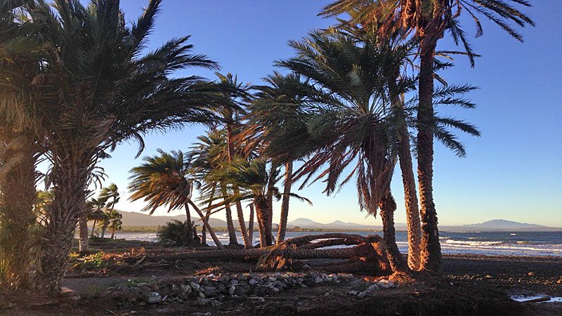
Quote: Originally posted by pjpvi  | | Quote: Originally posted by David K | It is always fun to discover you took a photo where someone 50 years ago also did!
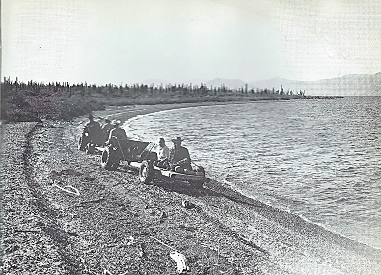
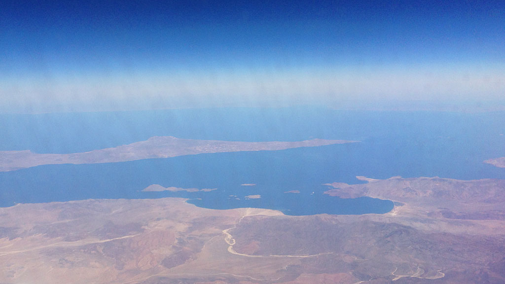
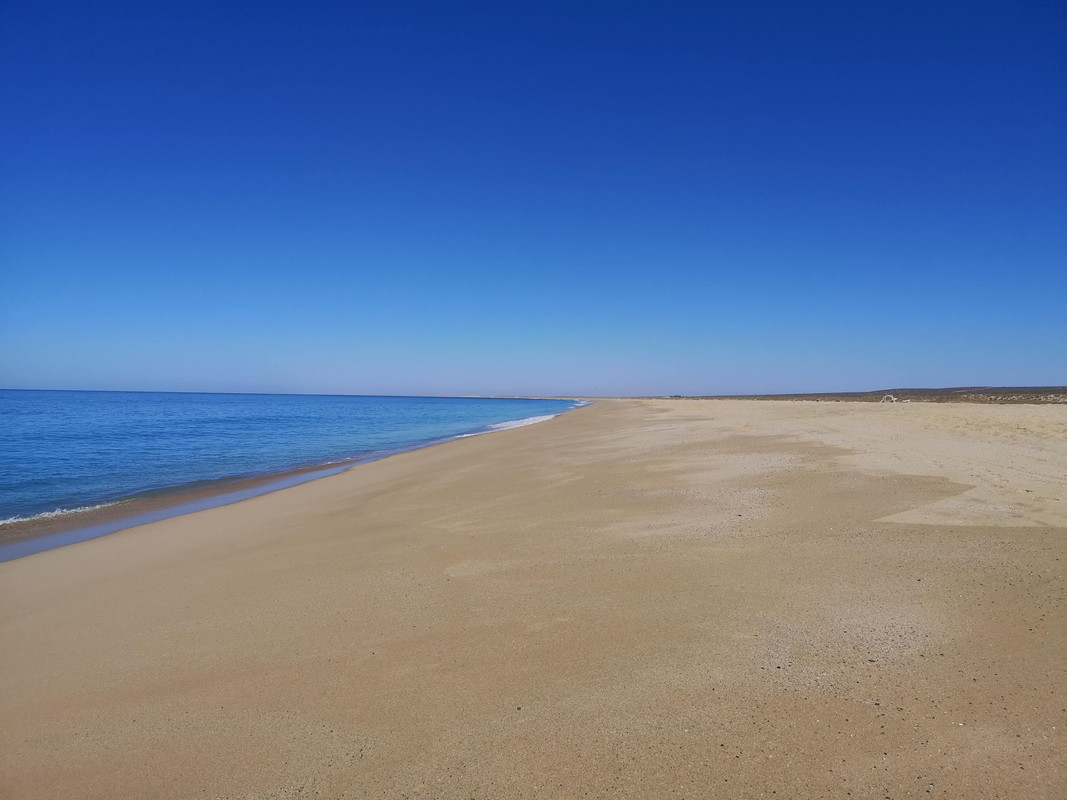
In this case, that someone was Erle Stanley Gardner in 1966, over on the Concepción Peninsula. The photo is in his 1967 book, Off the Beaten Track in
Baja.
2016:

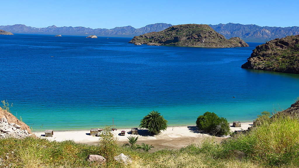
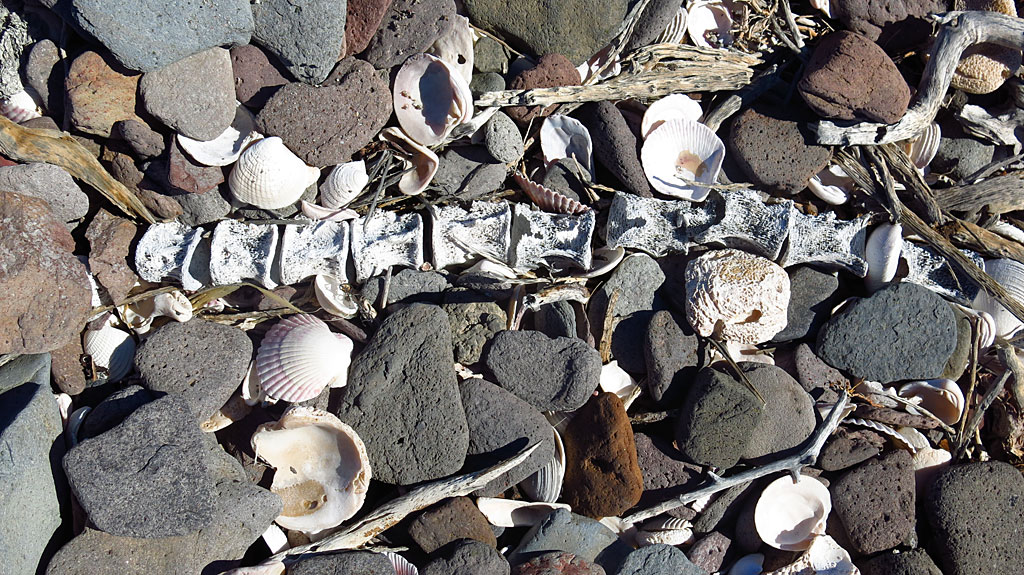
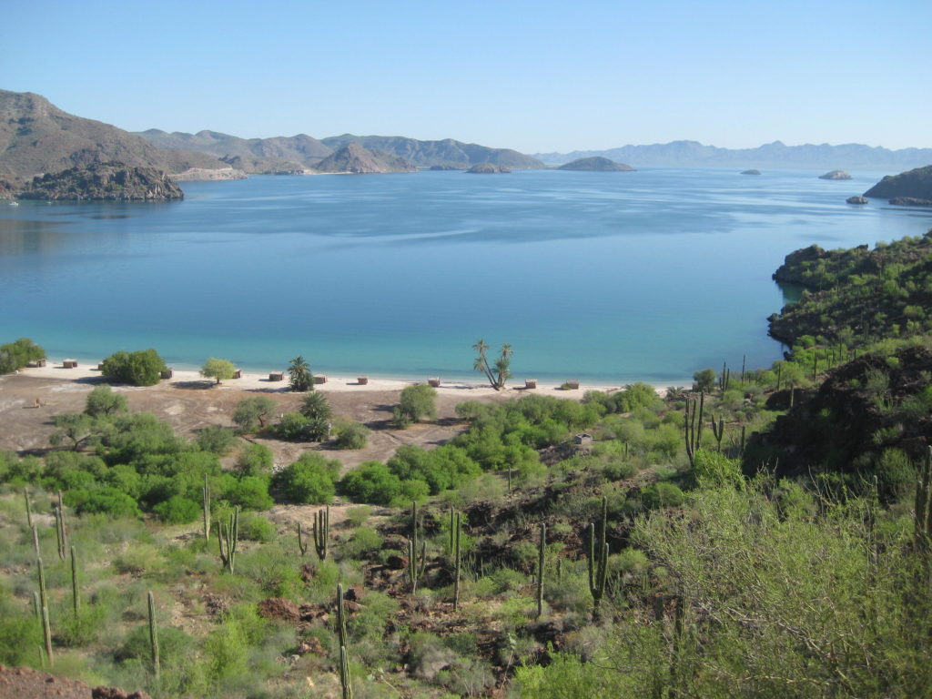
Almost the only difference I notice is I took the photo about twenty feet further from the water and the tide was higher in my photo. The gravel ridge
and driftwood, indicating the high-tide-line, looks the same in both images. |
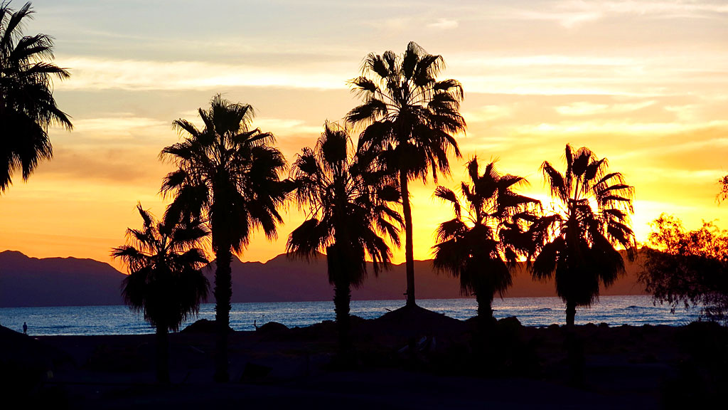
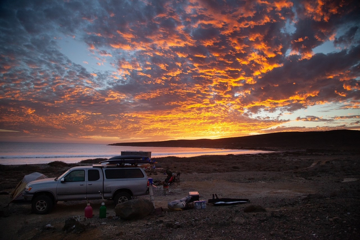
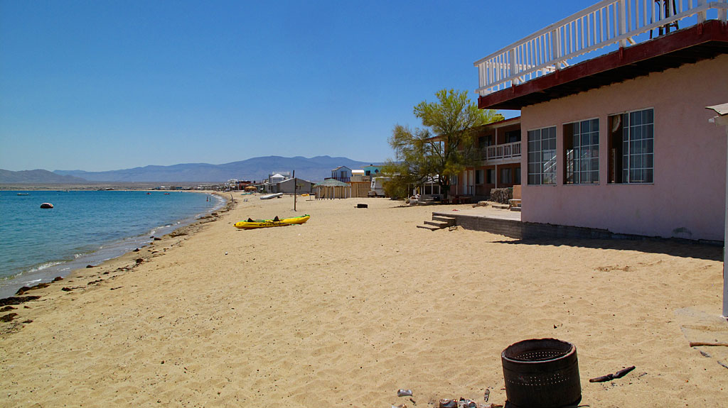
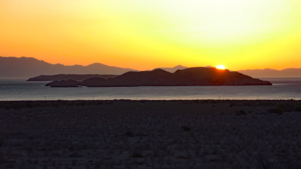
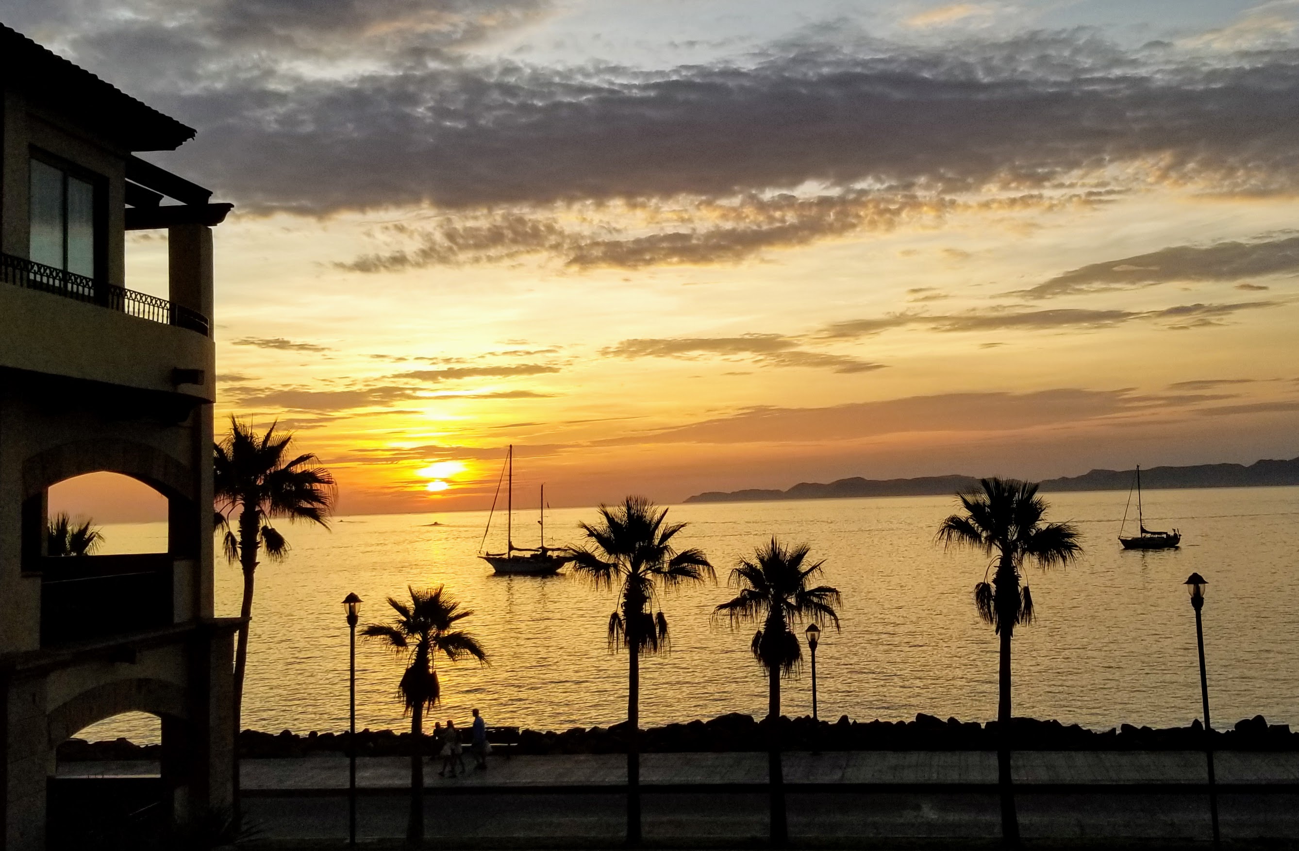
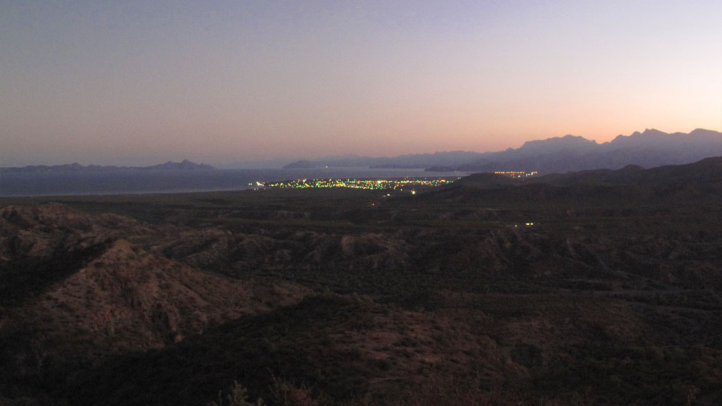
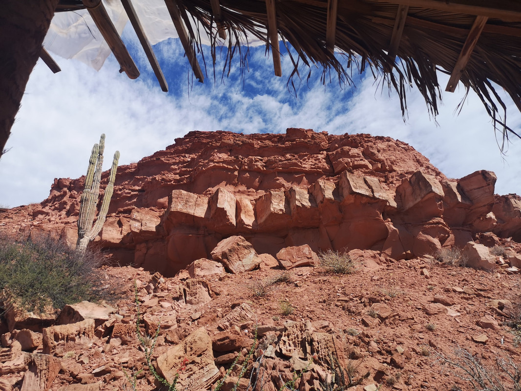
I camped on that very beach last Nov. Was a great camp spot! There was a fairly fresh big dead sea turtle on shore.
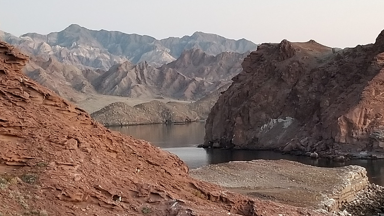
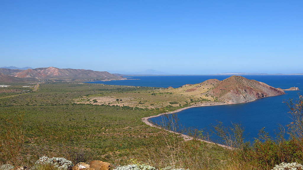
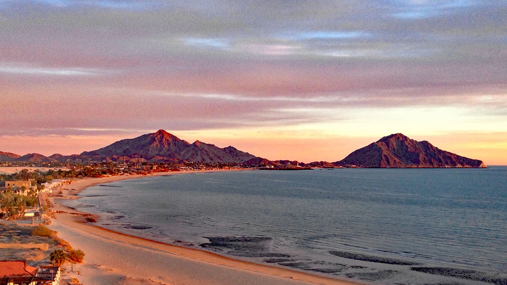
This picture is looking back to where you are standing for your picture (or maybe it's from where you are standing looking the other way?)
|
I also happened to be there just before Thanksgiving! I did not camp there, it was just one of the spots I checked out on a ten day "drive about".
Did you happen to notice an old guy in an Isuzu Trooper with a large, long legged, dark brown dog?
|


 [url=https://postimg.cc/N20scSKJ]
 [/ur
[/ur