As early as 1956, the roadbed was ready for paving to San Quintín, another 50 miles south. Yet, the blacktop ended here at Arroyo Seco, north of
Colonet, until about 1968 when new blacktop began being extended south, taking five more years just to reach San Quintín!
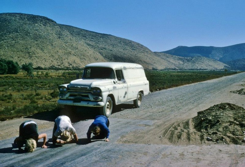
1965 (as thankful northbound travelers kiss the pavement):
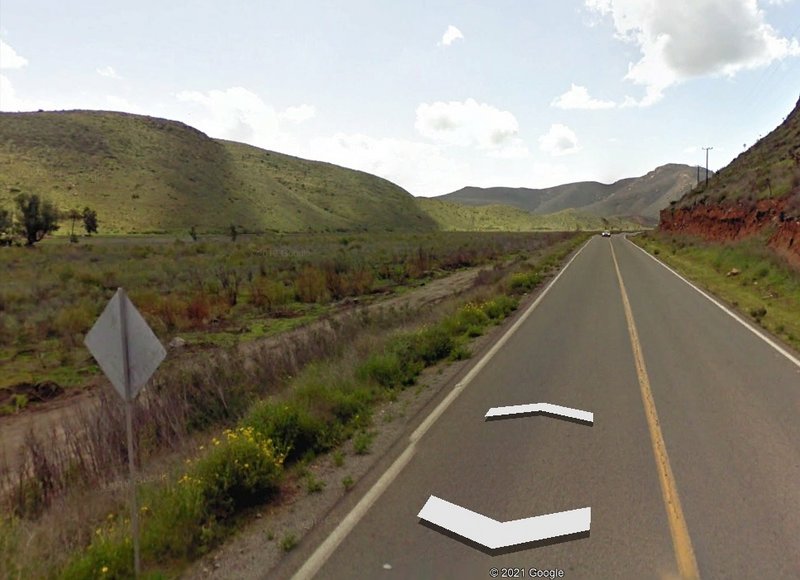
Thanks for the Google view. With that, I know exactly where it is, having driven that stretch many many times in the past, but after the paving was
completed.
Google Street View:
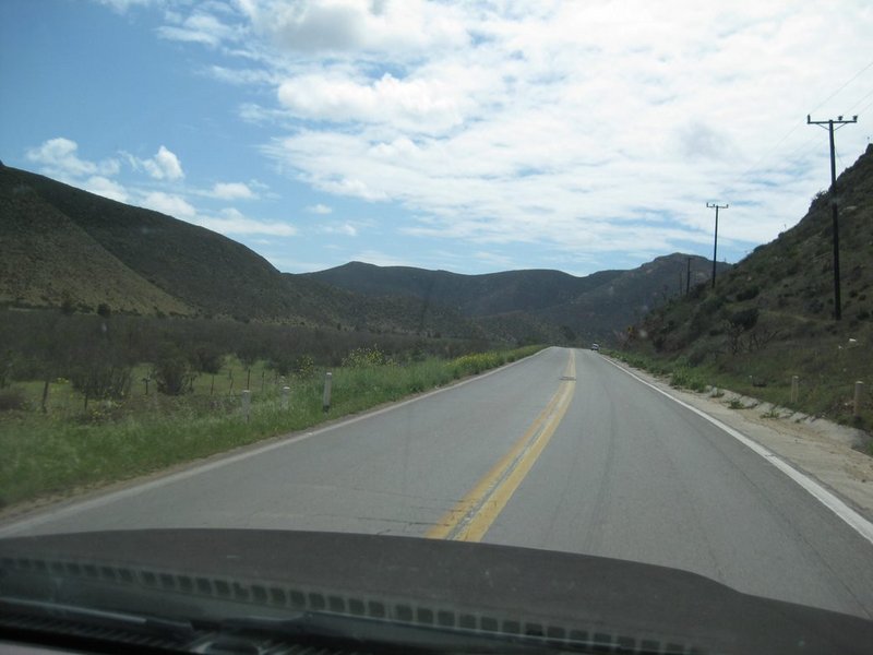
My camera, last month:
Places like this in Baja were the subject of a recent article: https://www.bajabound.com/bajaadventures/bajatravel/pavement...
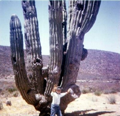
Where did the pavement end on your first Baja trips? Gotta photo? |