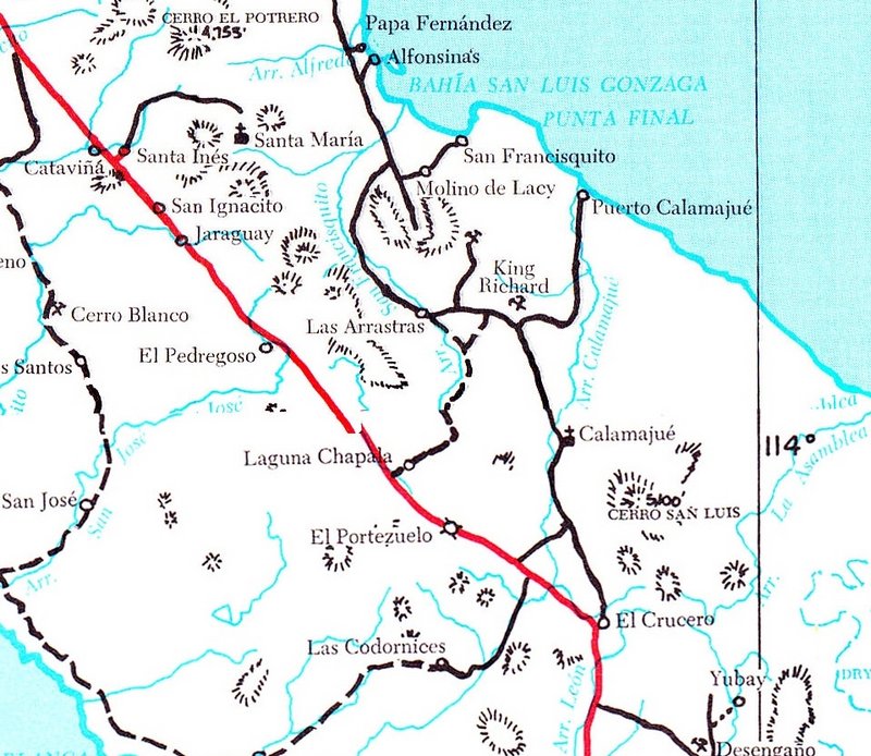
We need hints for #1, 3, & 9?
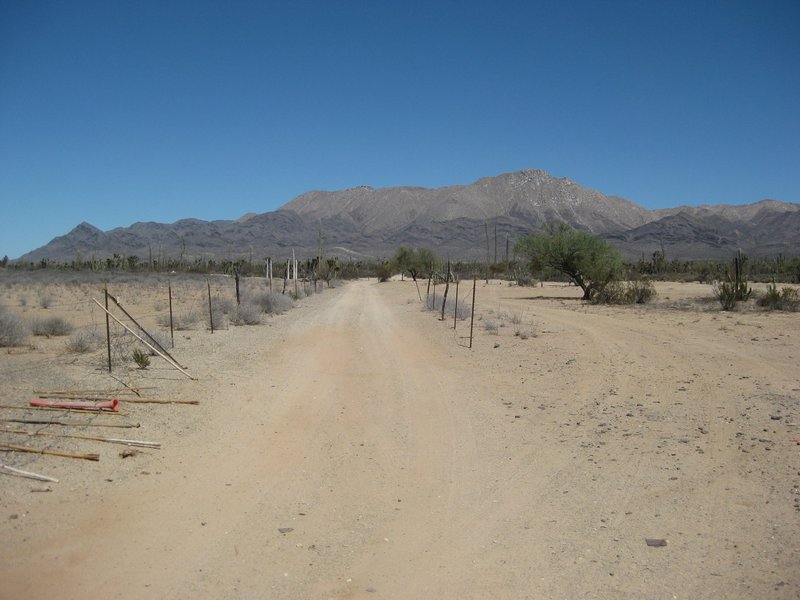
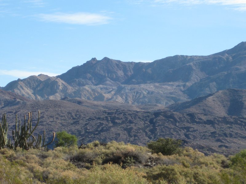
#1 is in Baja (Norte), once the major north-south road on that side of the peninsula, and a frequent checkpoint and pit location for the 1000.
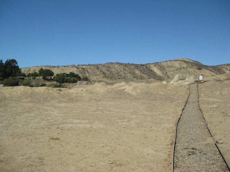
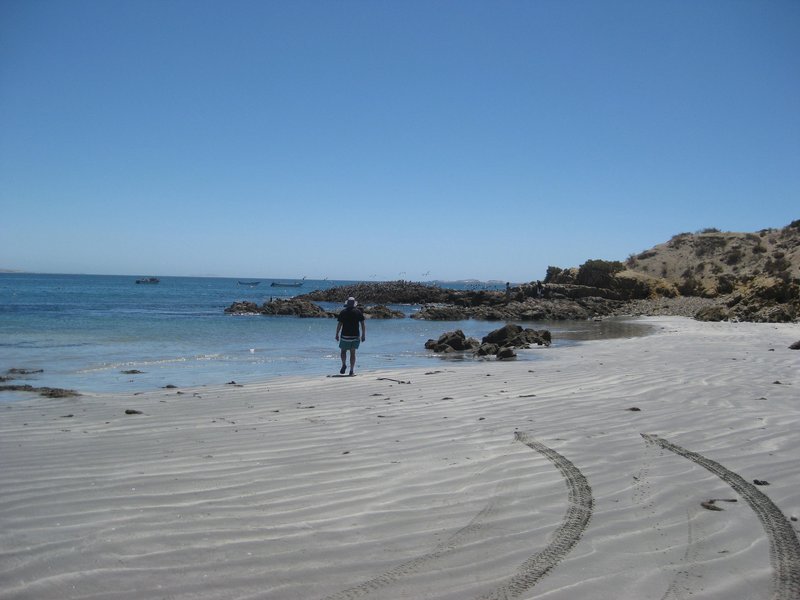
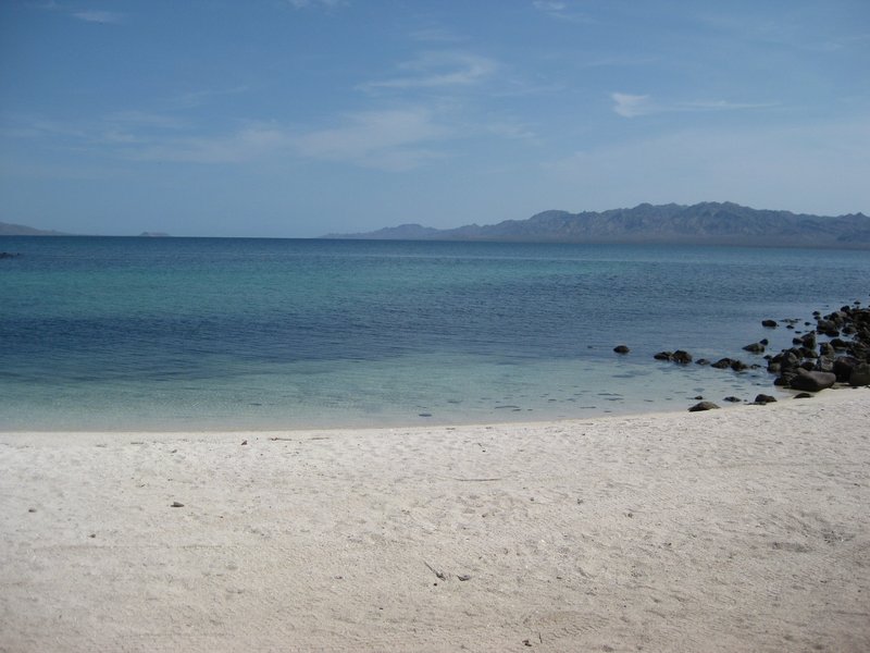
#3 is in Baja Sur, a popular place for pangas to off-load their catch, and an interesting church is nearby.
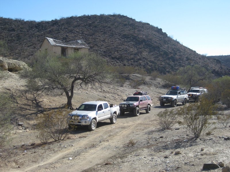
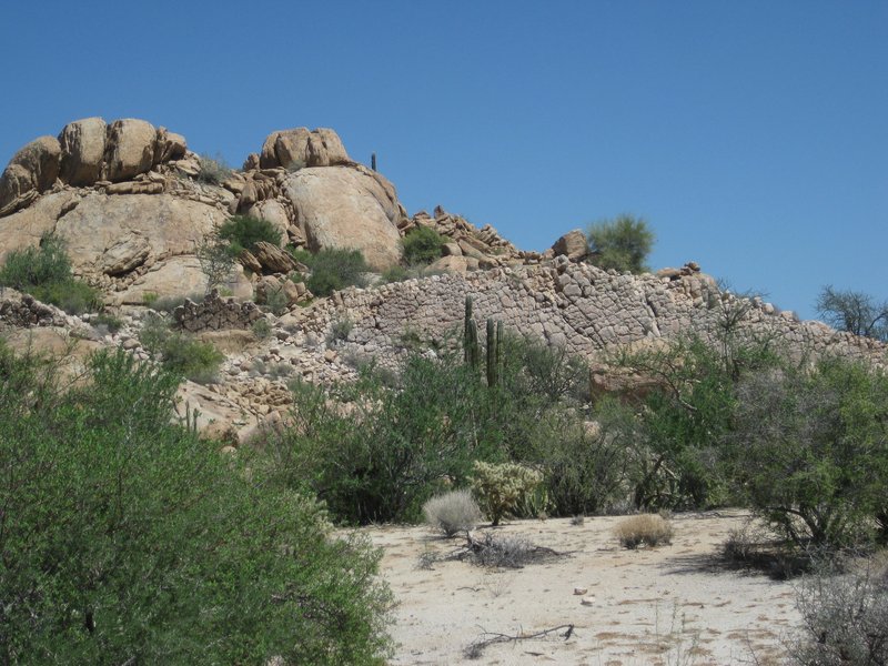
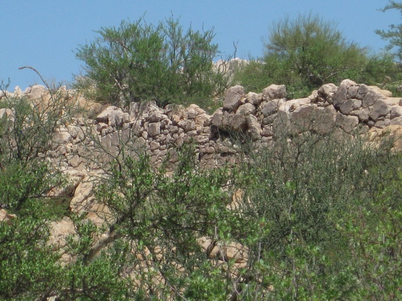
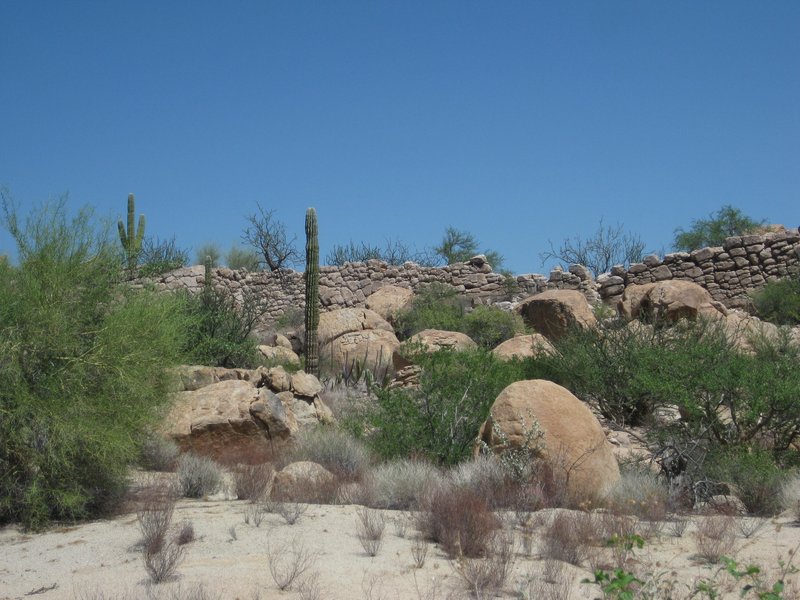
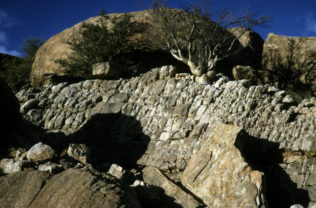
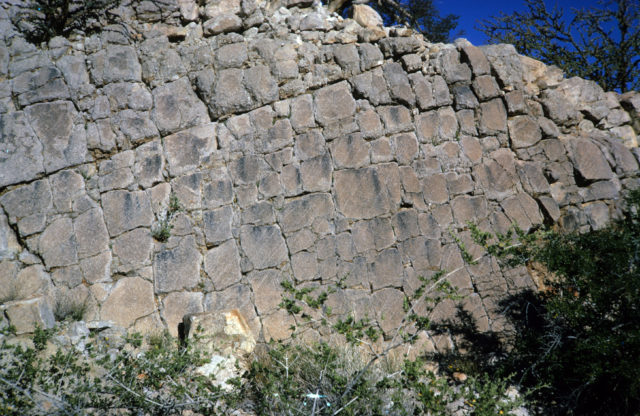
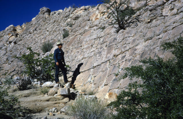
#9 is in Baja (Norte), on a side road to a bay and some mysterious walls.
MORE HINTS:
#1 got its name (for the road junction) from a small business here selling gas, before the highway was built in 1973. It was the south end of the most
common used "gulf route" (1958- 1983) that is now Hwy. 5, using a different route since 1983.
#3 Fishermen use this place as it is very sheltered and an old church nearby was restored a few years ago.
#9 A dead end road to a beautiful beach location. Seasonal fish camp. The Dana Point High School marine biology class used to come here on Spring
break. |