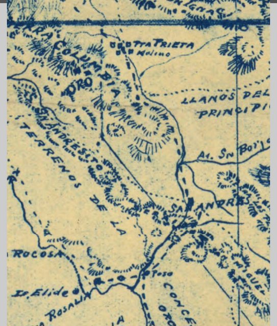
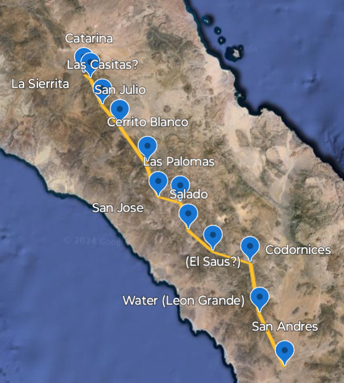
A quick rundown of the route described in Itinerarios y Derroteros. The section from San Ignacio to San Andreas is well described. At San Andreas
the route split in two and rejoined at a place called La Sierrita. . The costal route was difficult and seldom used. Below is a rundown of the main
route from San Andreas to La Sierrita before it began shifting over to accommodate wheeled vehicle travel.
San Andres, that is what Goldbaum seems to label this location., mislabeled?
28°47'04"N 114°10'03"W
Water 29°00'04"N 114°15'31"W
Codornices 29°11'18"N 114°18'35"W
Water 29°13'35"N 114°28'06"W
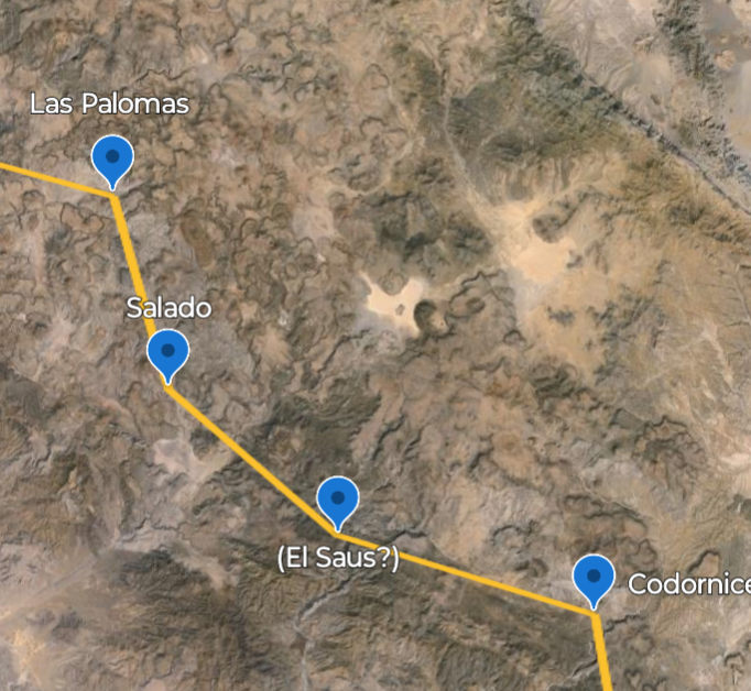
Salado (Aguaje Salado?) There is a salt flat nearby that probably explains the name. 29°18'01"N 114°34'47"W
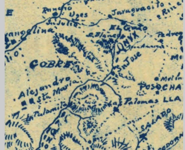
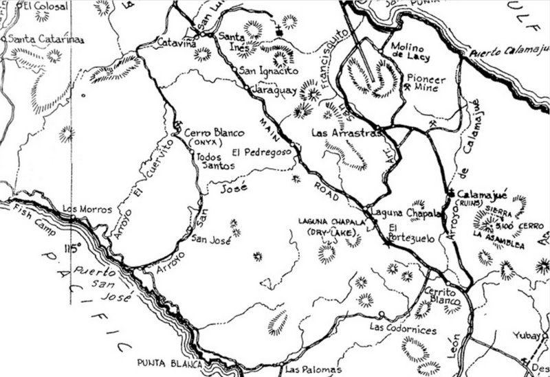
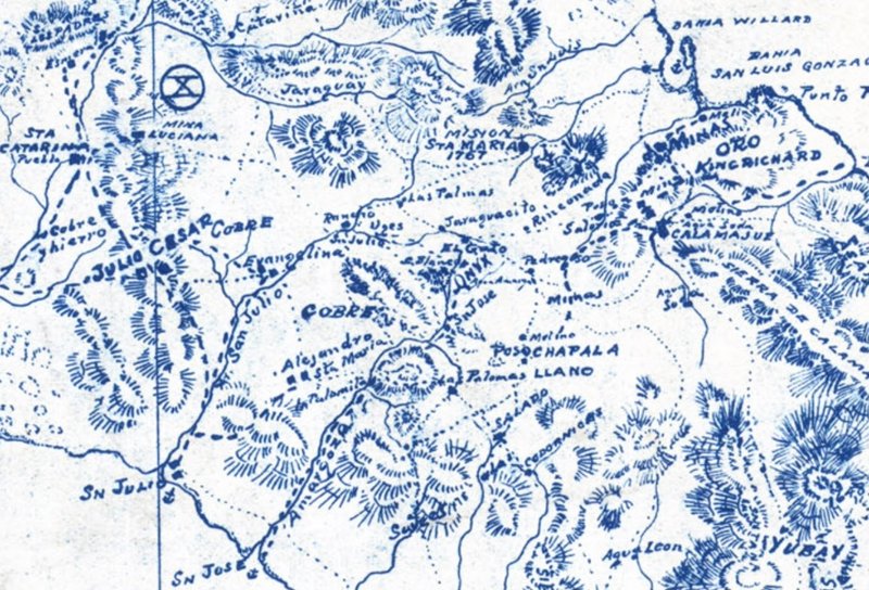
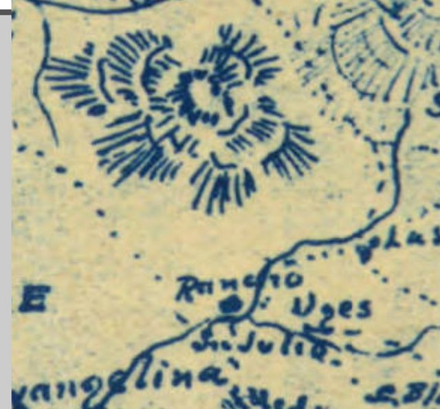
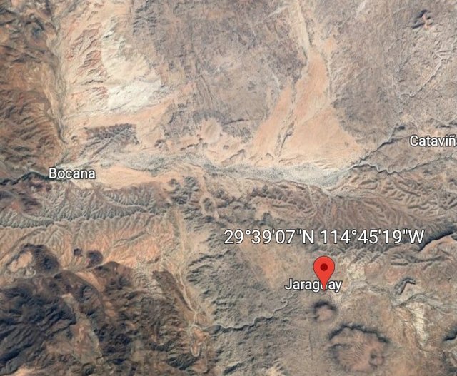
San Jose de Las Palomas. A rancheria name that appears frequently in the registers for San Fernando
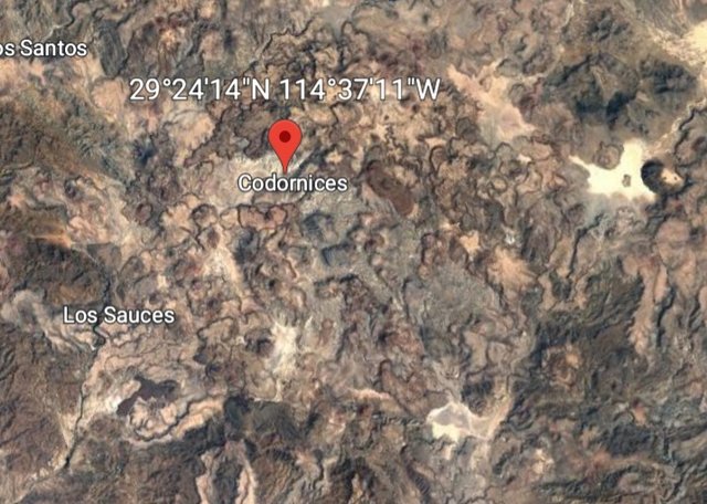
Appears as Codornices on modern maps. 29°24'13"N 114°37'09"W
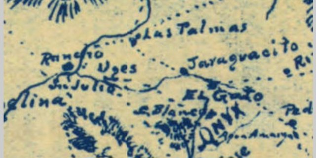
Need to fill in this section between Palomas and San Julio, its on Goldbaum, will come back to it. The water source for Cerro Blanco?
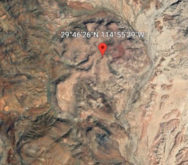
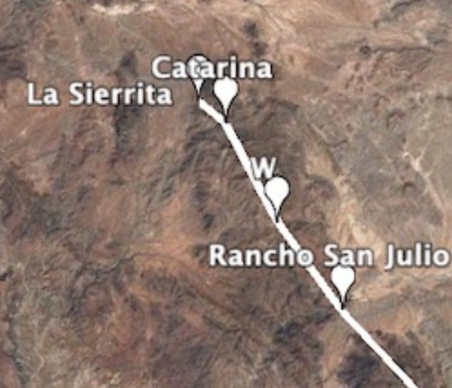
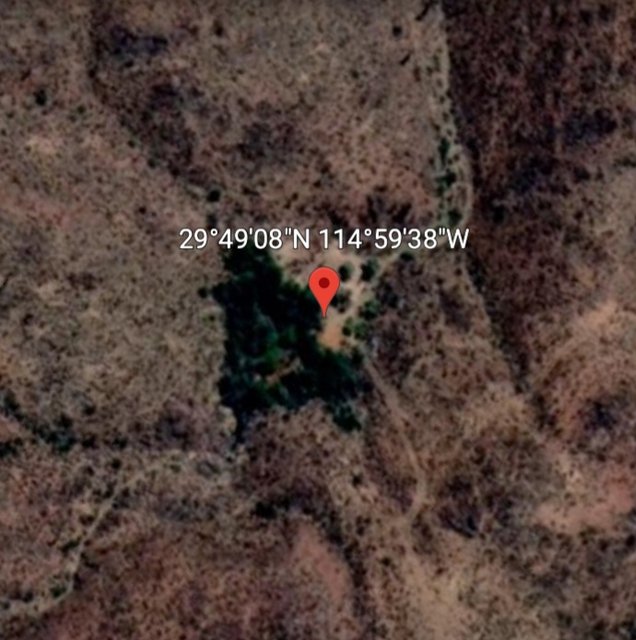
Rancho San Julio right in here somewhere 29°40'01"N 114°55'02"W
Water 29°45'05"N 114°58'22"W
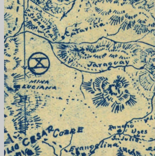
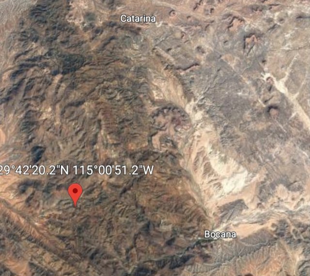
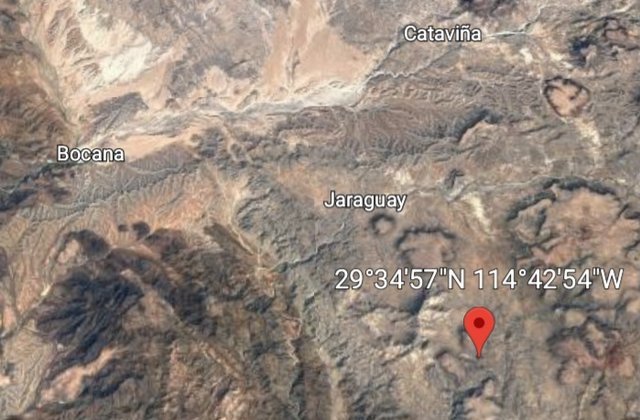
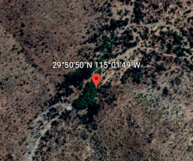
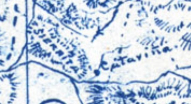
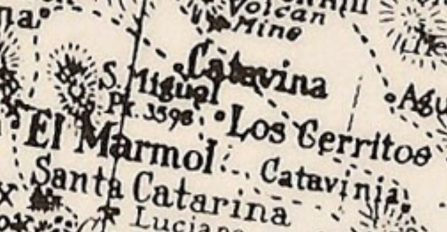
Catarina, S. Catarina on 1922 map and Catavina on Goldbaum. 9°50'50"N 115°01'49"W
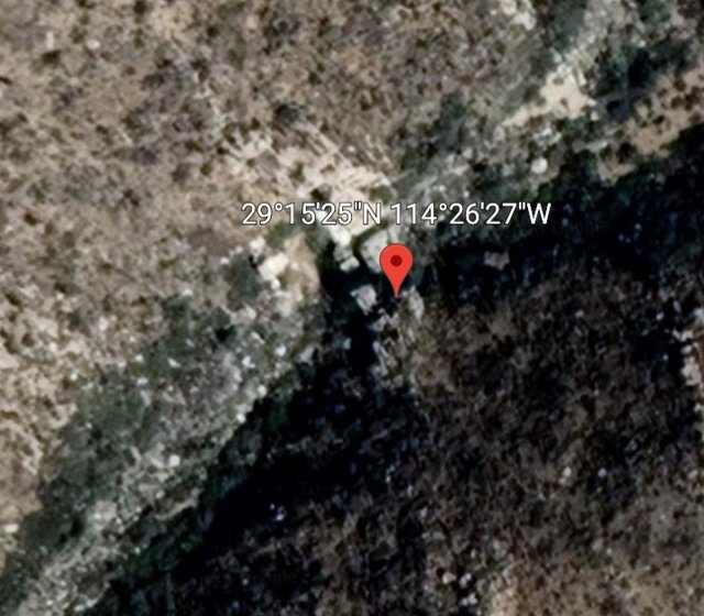
La Sierrita 29°52'00"N 115°03'36"W
The whole thing is shown on Goldbaum. Most of what is on that map can now be followed by road. This route is exceptional in that hardly any of it
can. Maybe I can get some help filling it in a little bit.
[Edited on 4-16-2023 by Lance S.] |


 uploading a photo
 upload image to link

 upload images for free
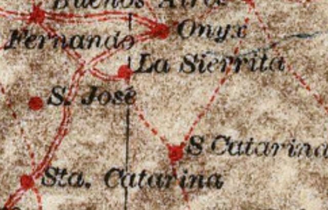
 post pics
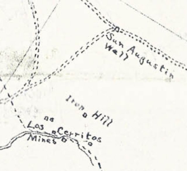

 upload image to url