Not personal, Harald... just the facts. 
Swapping the bay names at Gonzaga, the Arroyo el Volcán name with 'Zamora', etc. It is just careless work of a government employee.
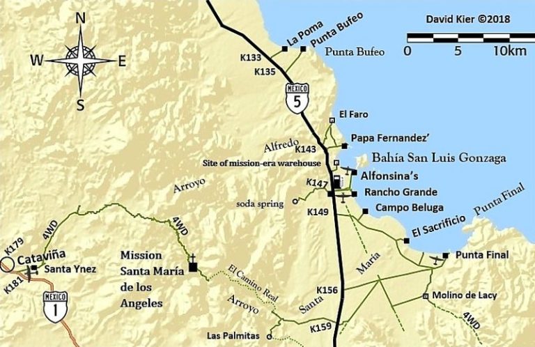
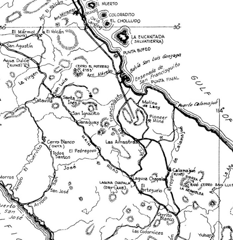
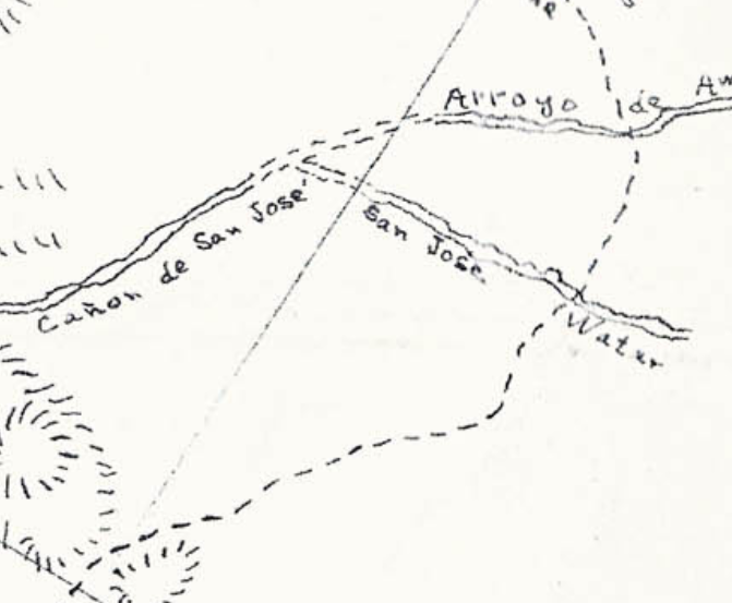
Ensenada San Francisquito is the south half of the double bay, named after the gold ore mill, San Francisquito (later called Molino de Lacy) and
Puerto San Francisquito (later called Punta Final Resort).
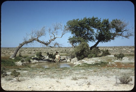
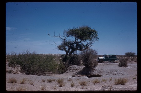
Arroyo Las Arrastras on INEGI was Arroyo San Francisquito, named after the waterhole on El Camino Real, original called San Francisco 29.5522,
-114.3441. It is almost across the highway from the new Coco's Corner (at Las Arrastras)... just a little north. Anyway, that waterhole gave its name
to all the many San Francisquito's of this area.
From Howard Gulick in 1956:
|


