You are messed up David, but mostly in good ways. haha
May the good graces continue to treat you well. Nomad needs you well.
The latest Rip to Cabo on you tube was all Baja with barely any commercials.
I will keep checking my ESPN channels for the World of X games like I do anyway in the chance it will cover off roading, surfing, and the Trail of
Missions you mentioned.
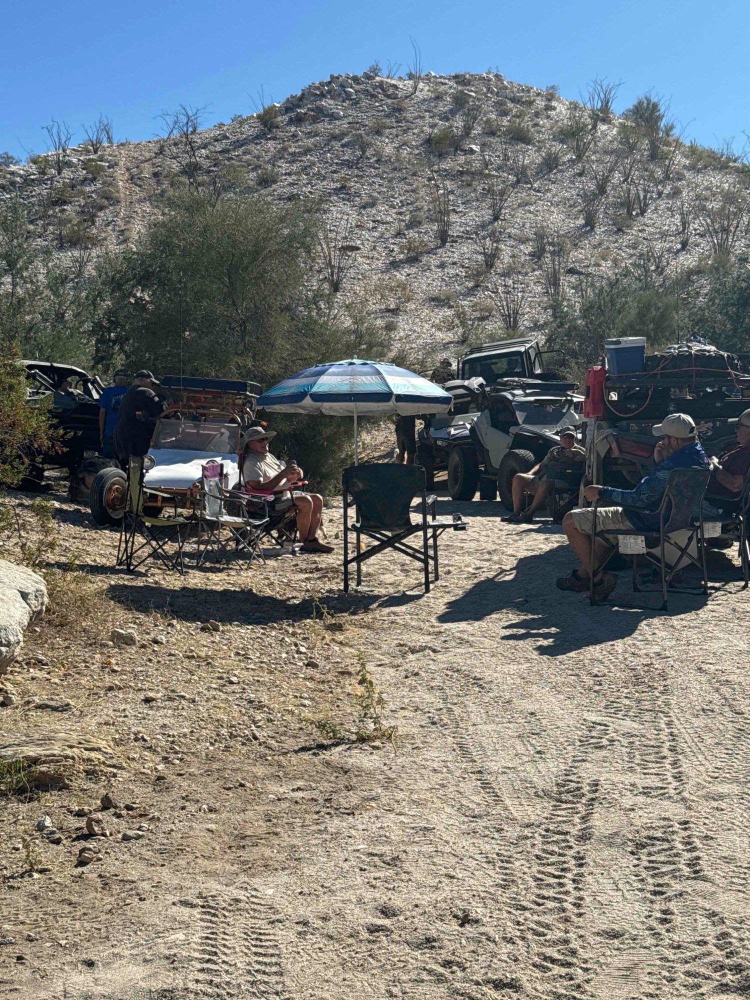
Your many contributions here show the passion for Baja many us share in our own ways. Take care and keep the posts coming, even if mostly from your
armchair and hopefully back on the road when possible.
The season of giving thanks is for everyone to appreciate and for their own reasons. Peace, love, and fish tacos.
|

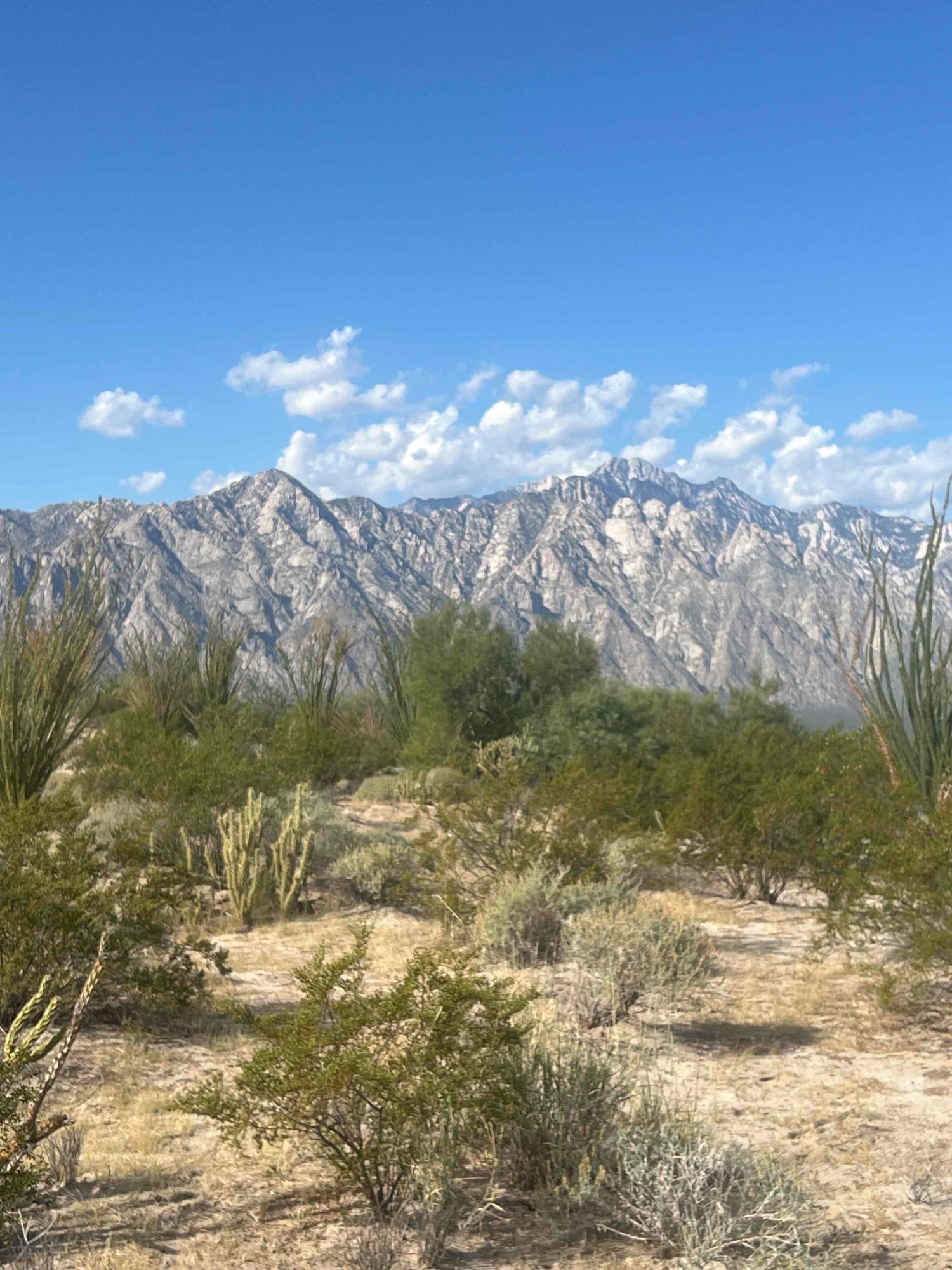
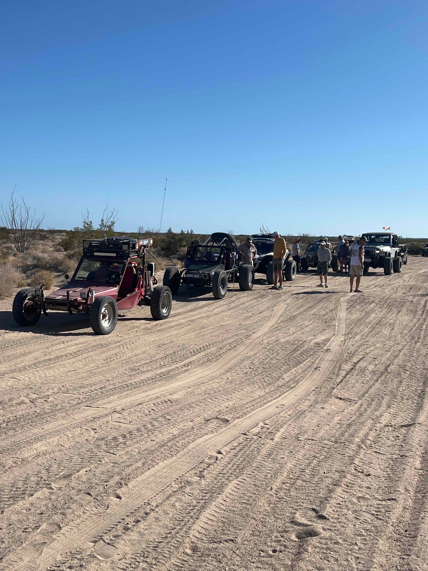
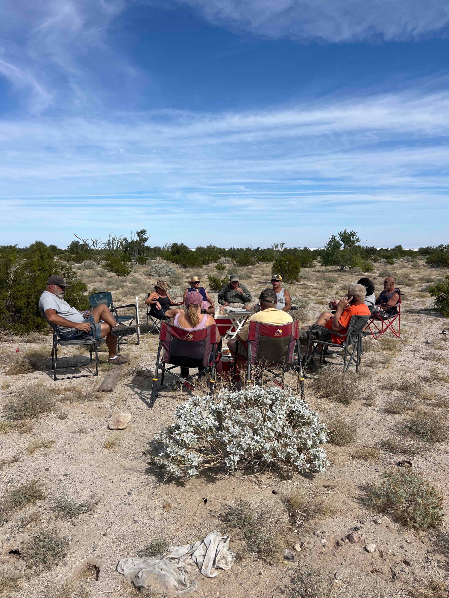
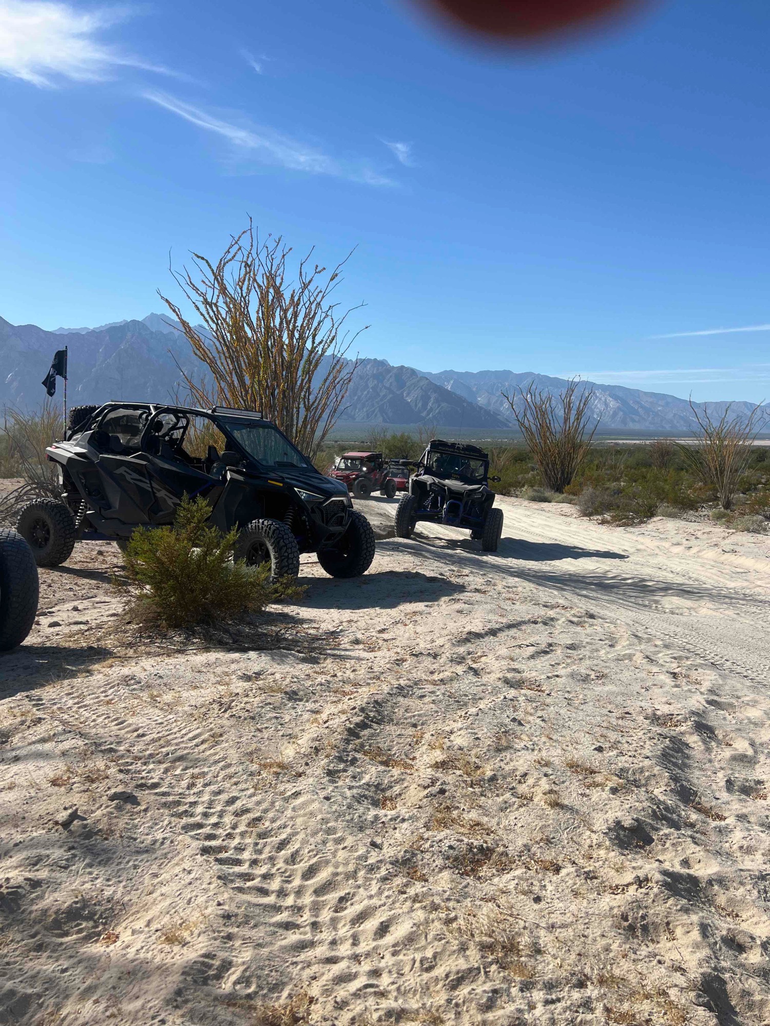

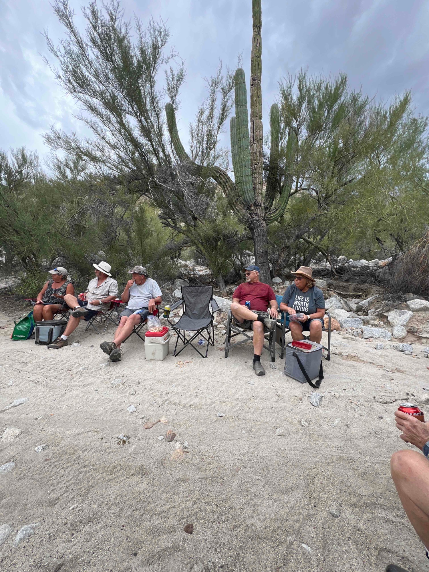
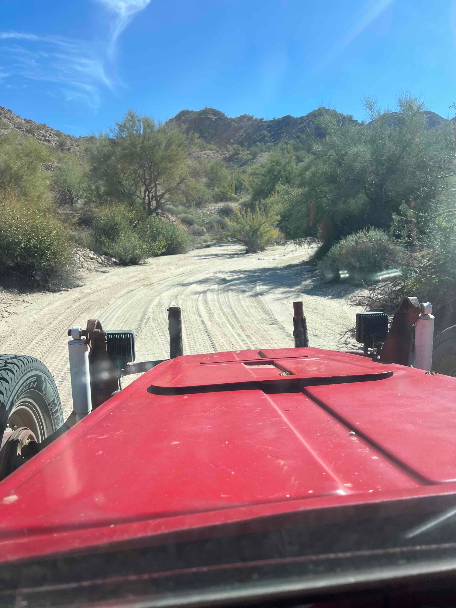
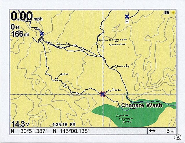
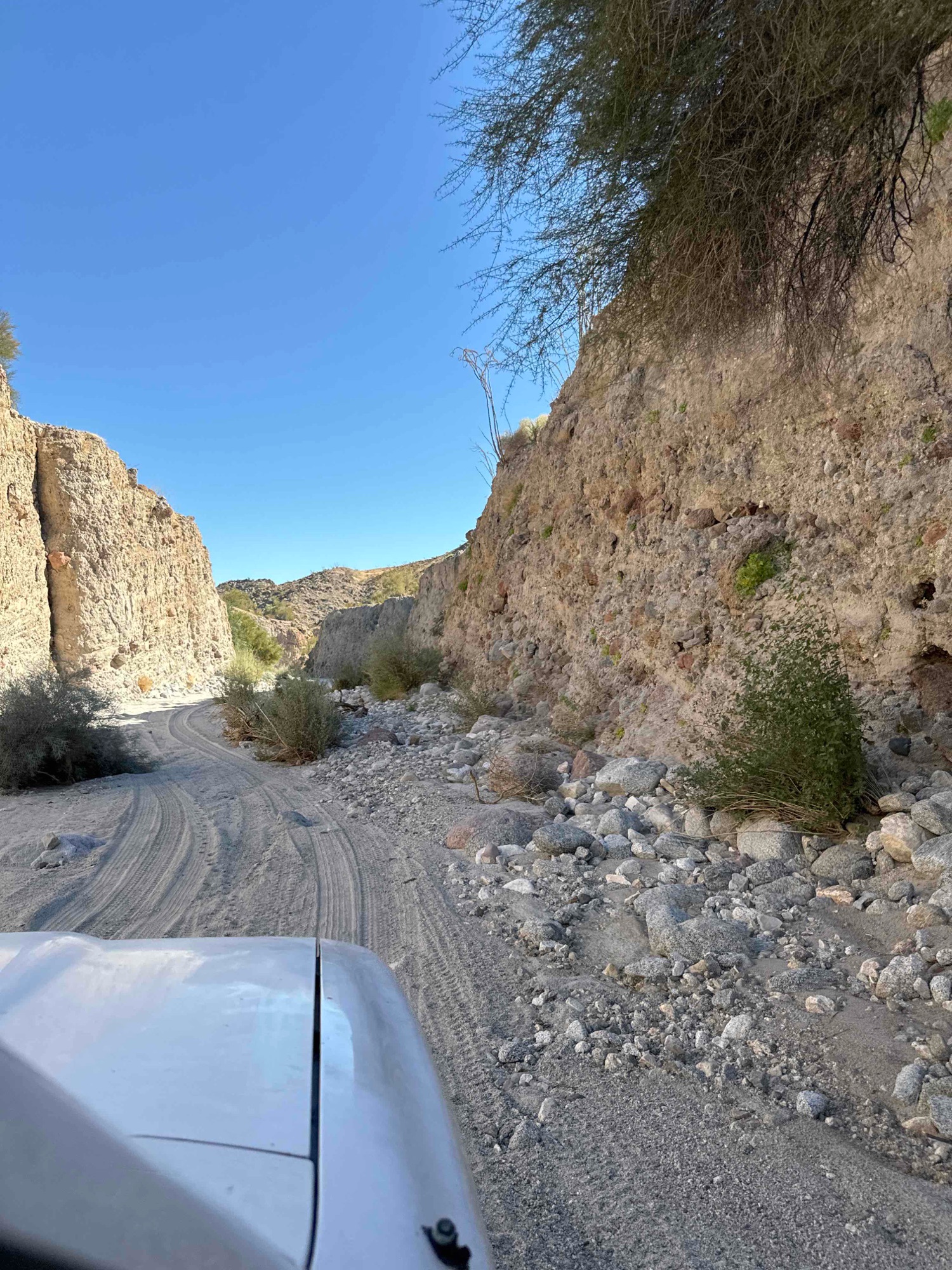
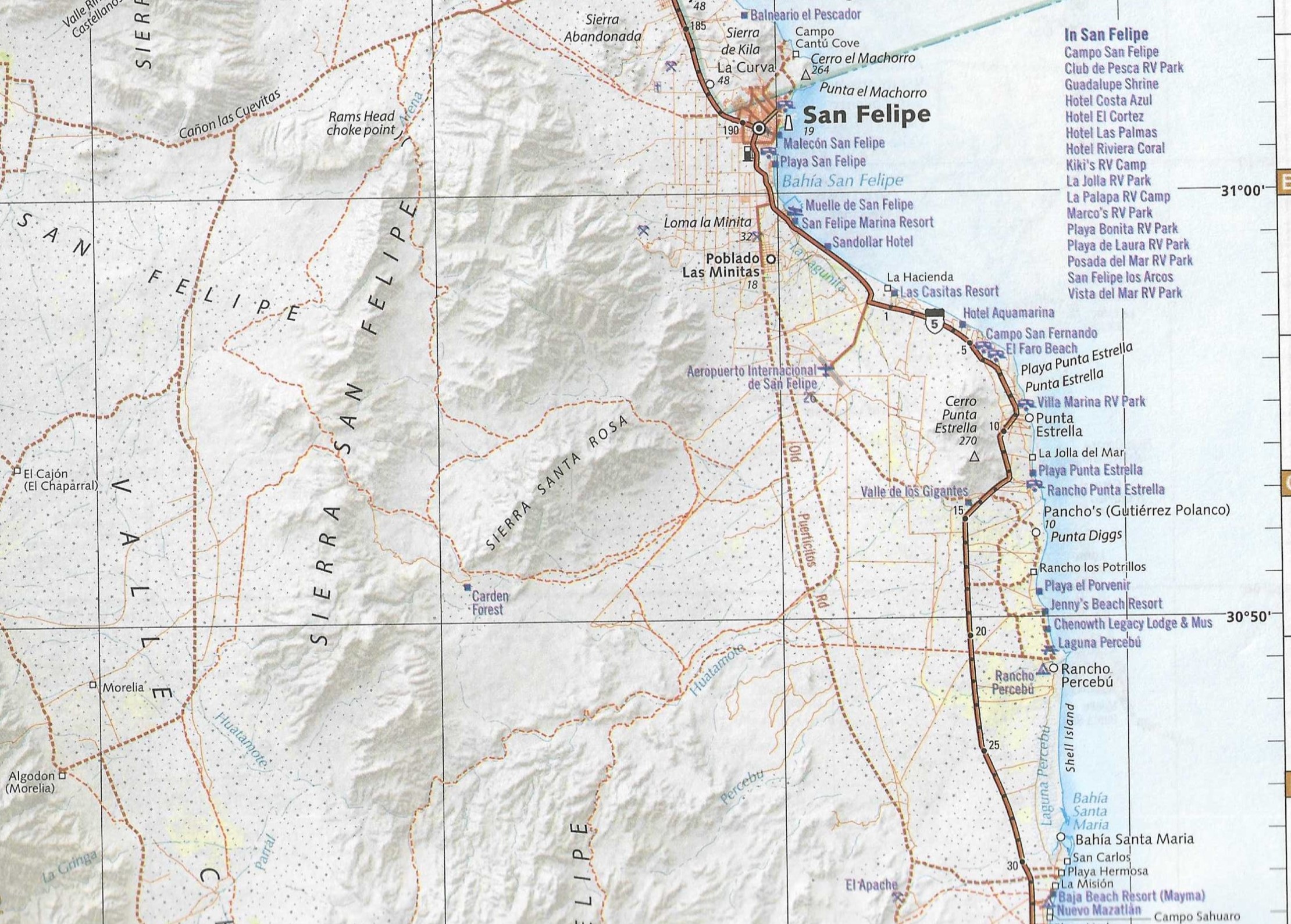
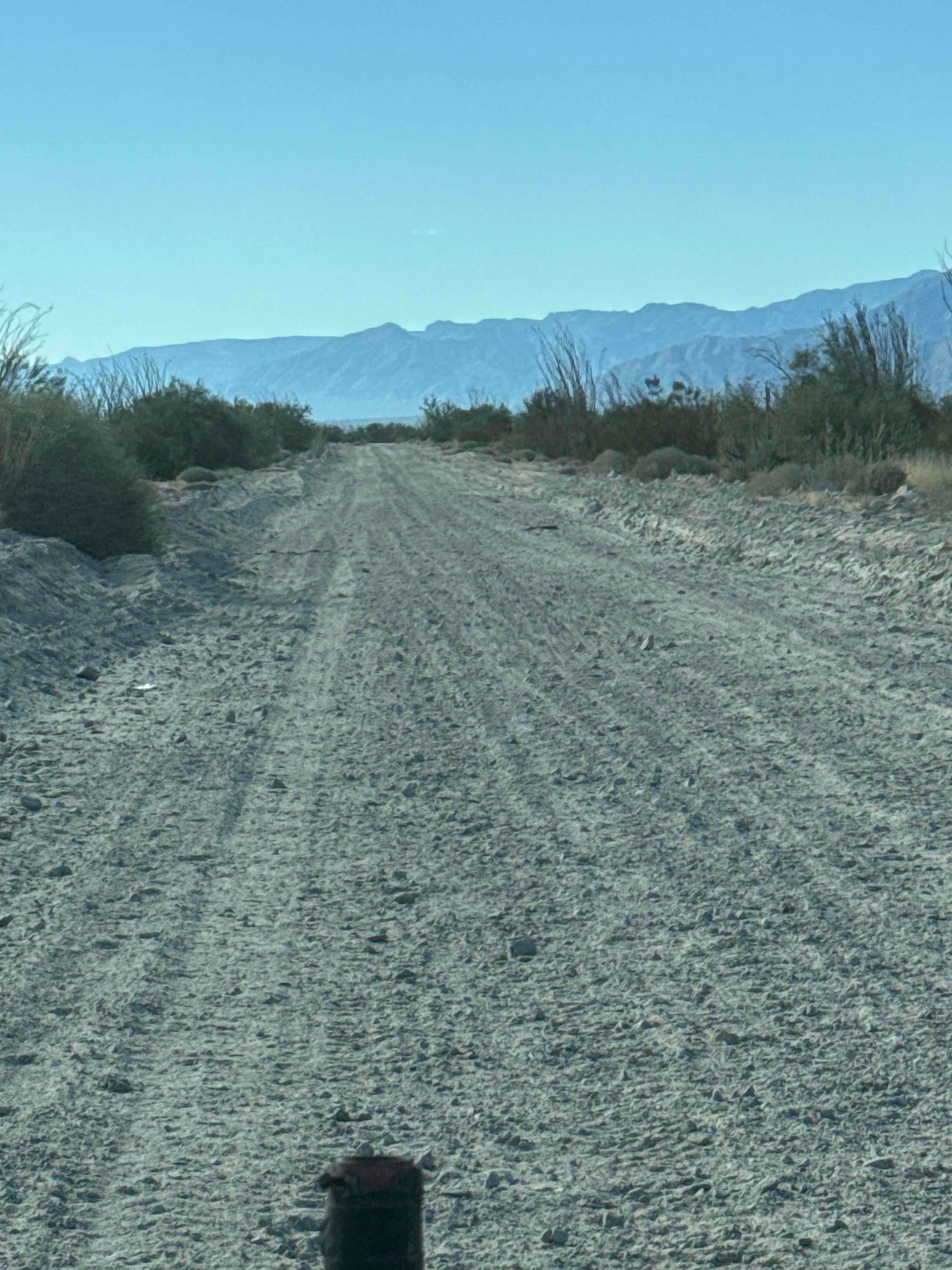
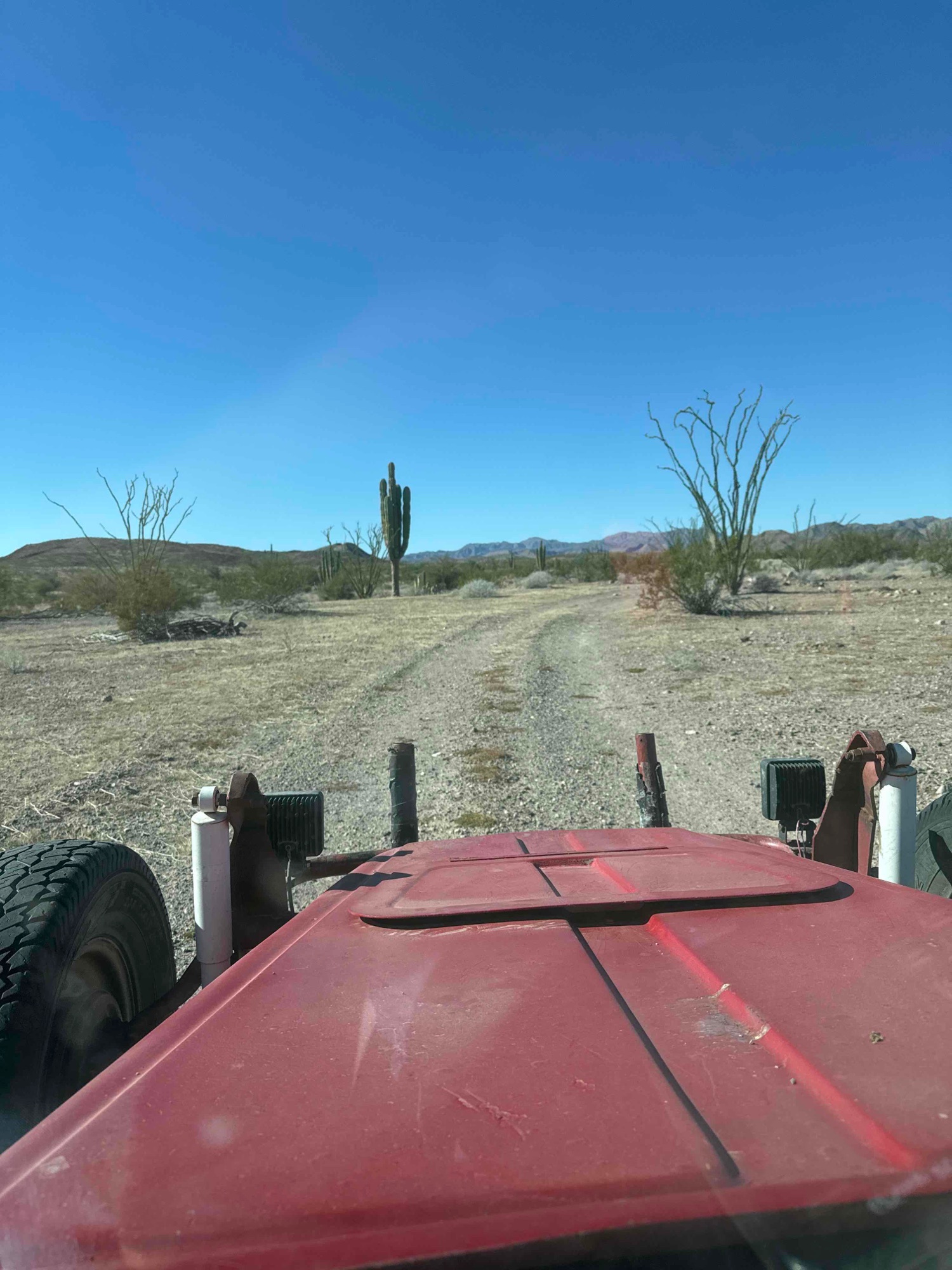
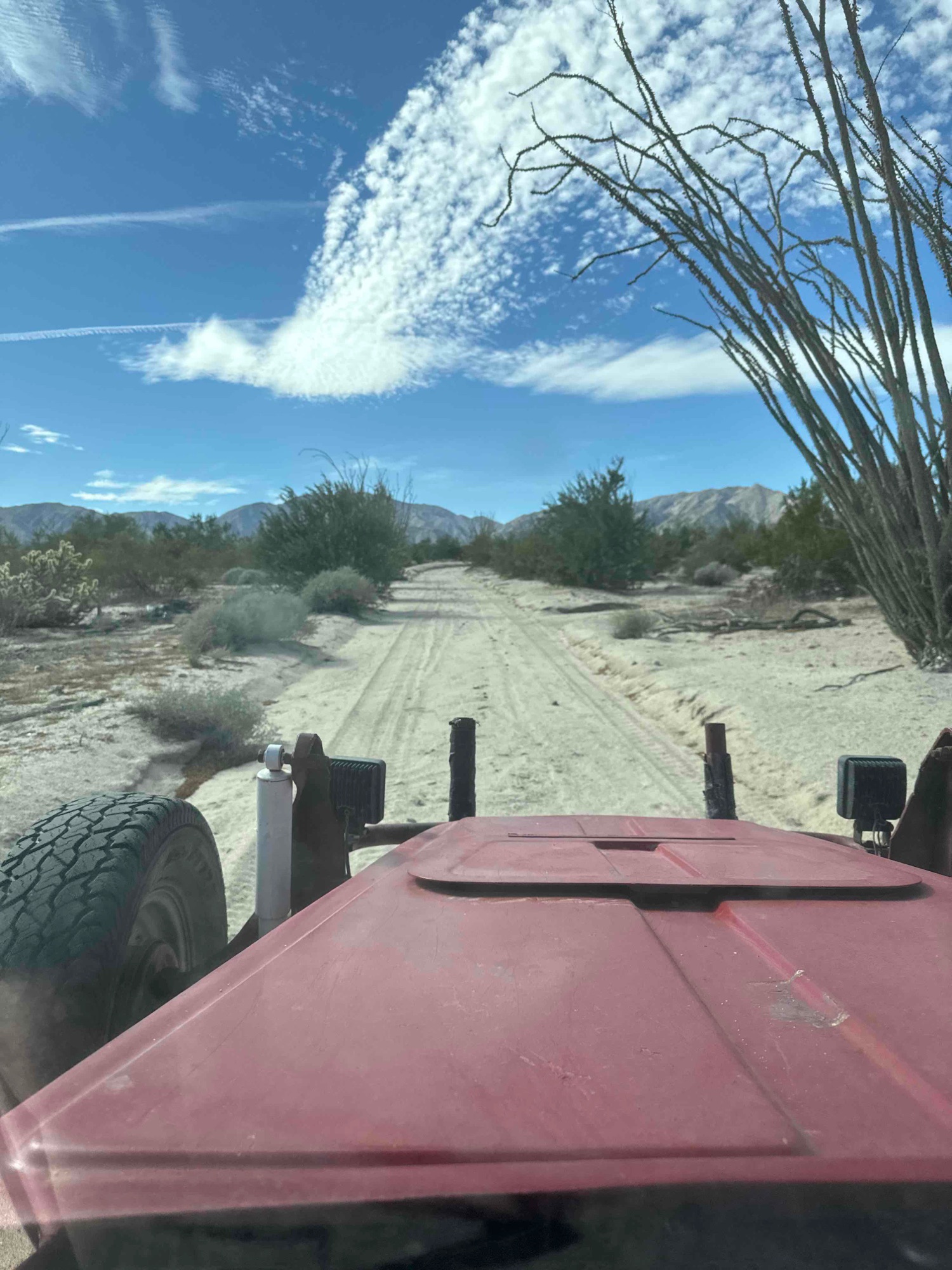
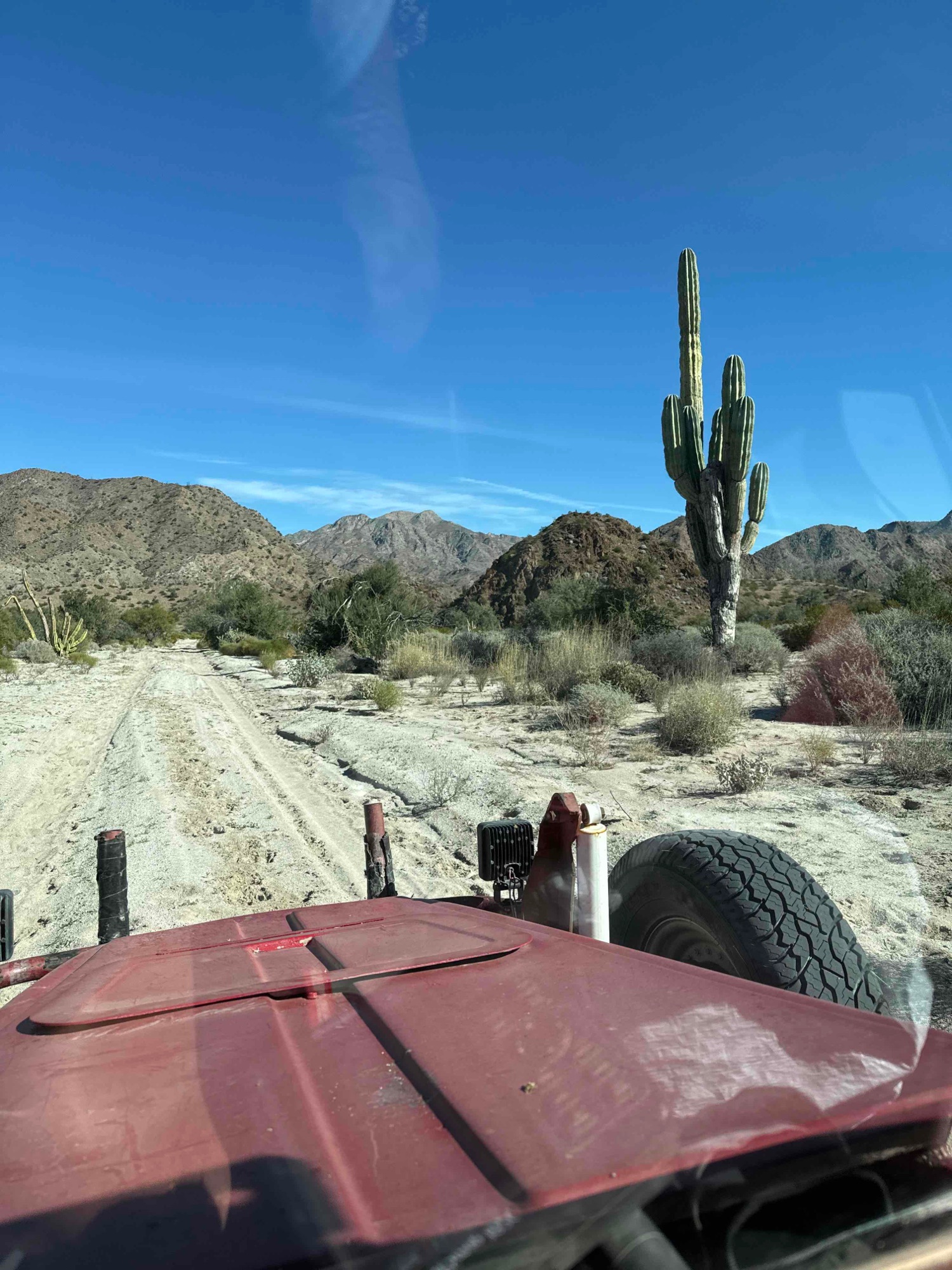

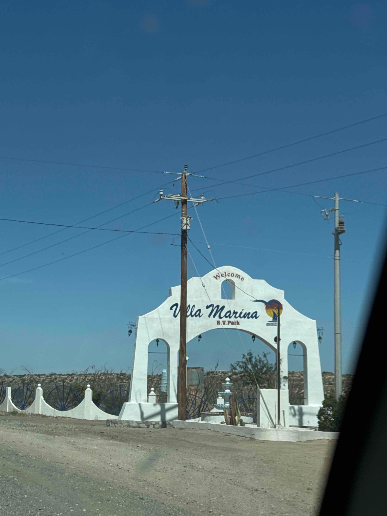
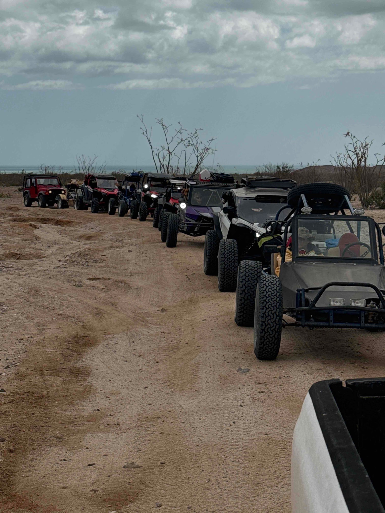
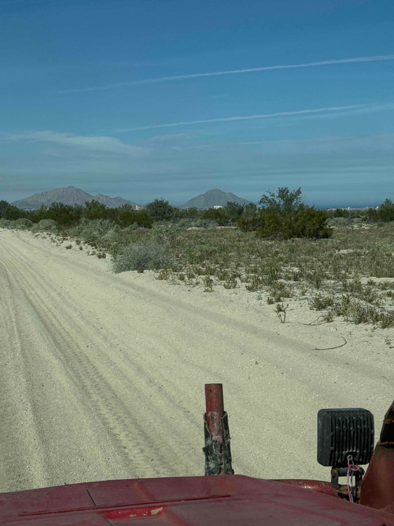
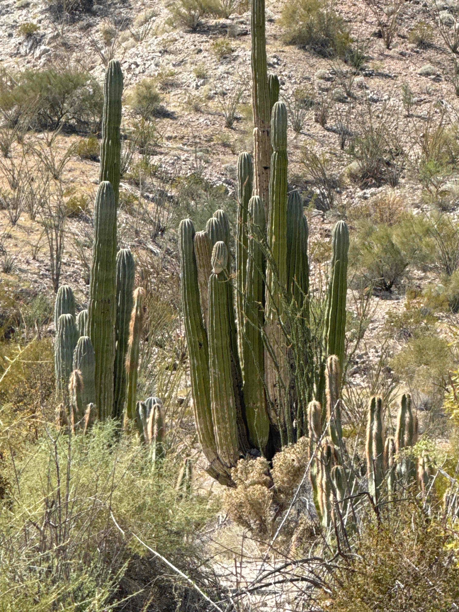
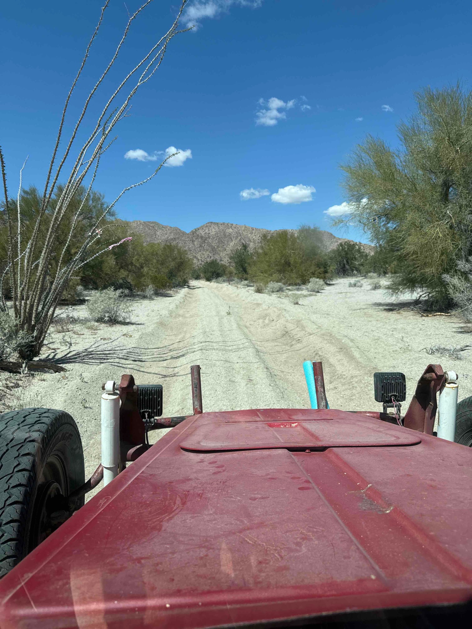
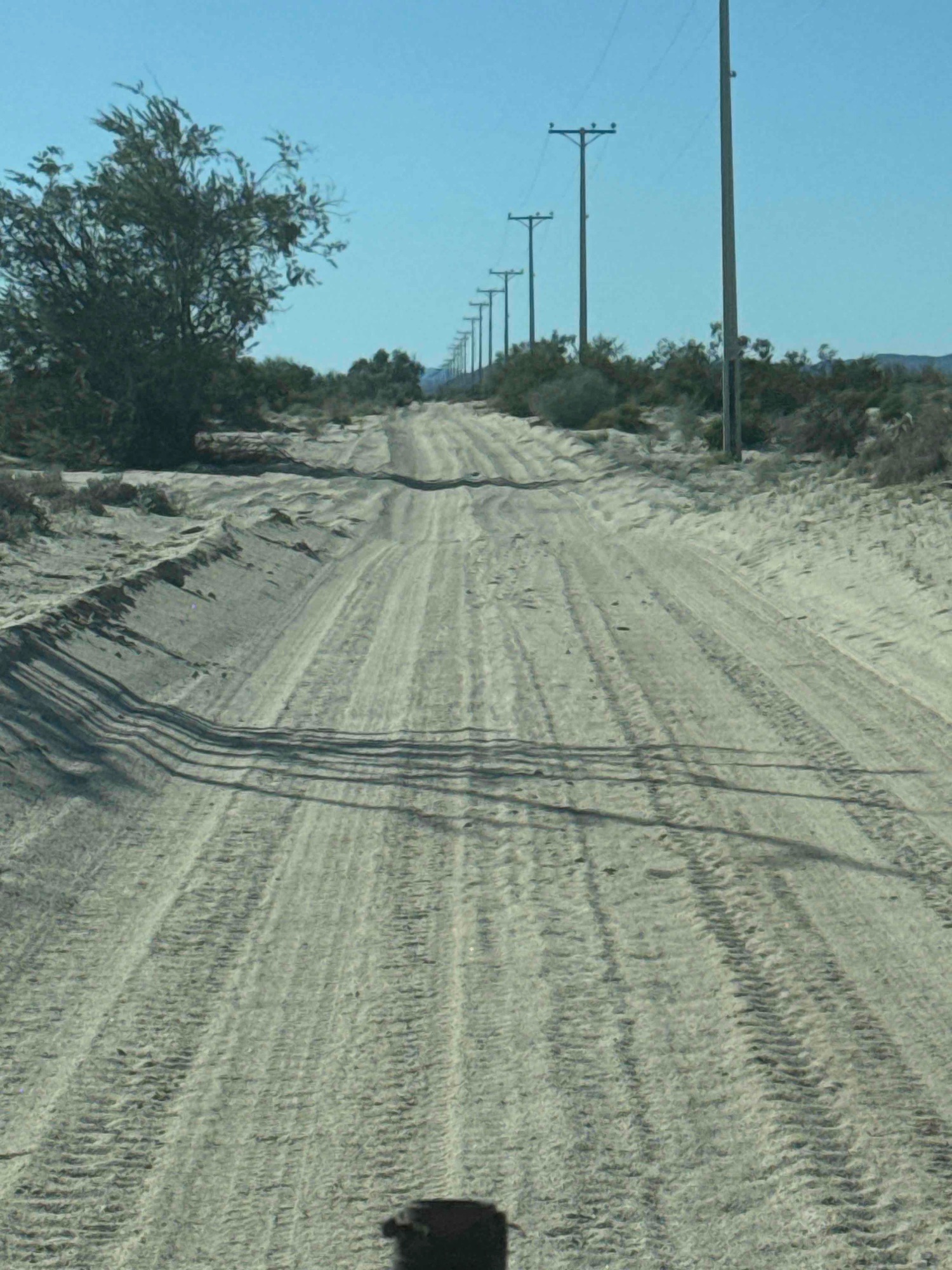 Old Puertecitos Road
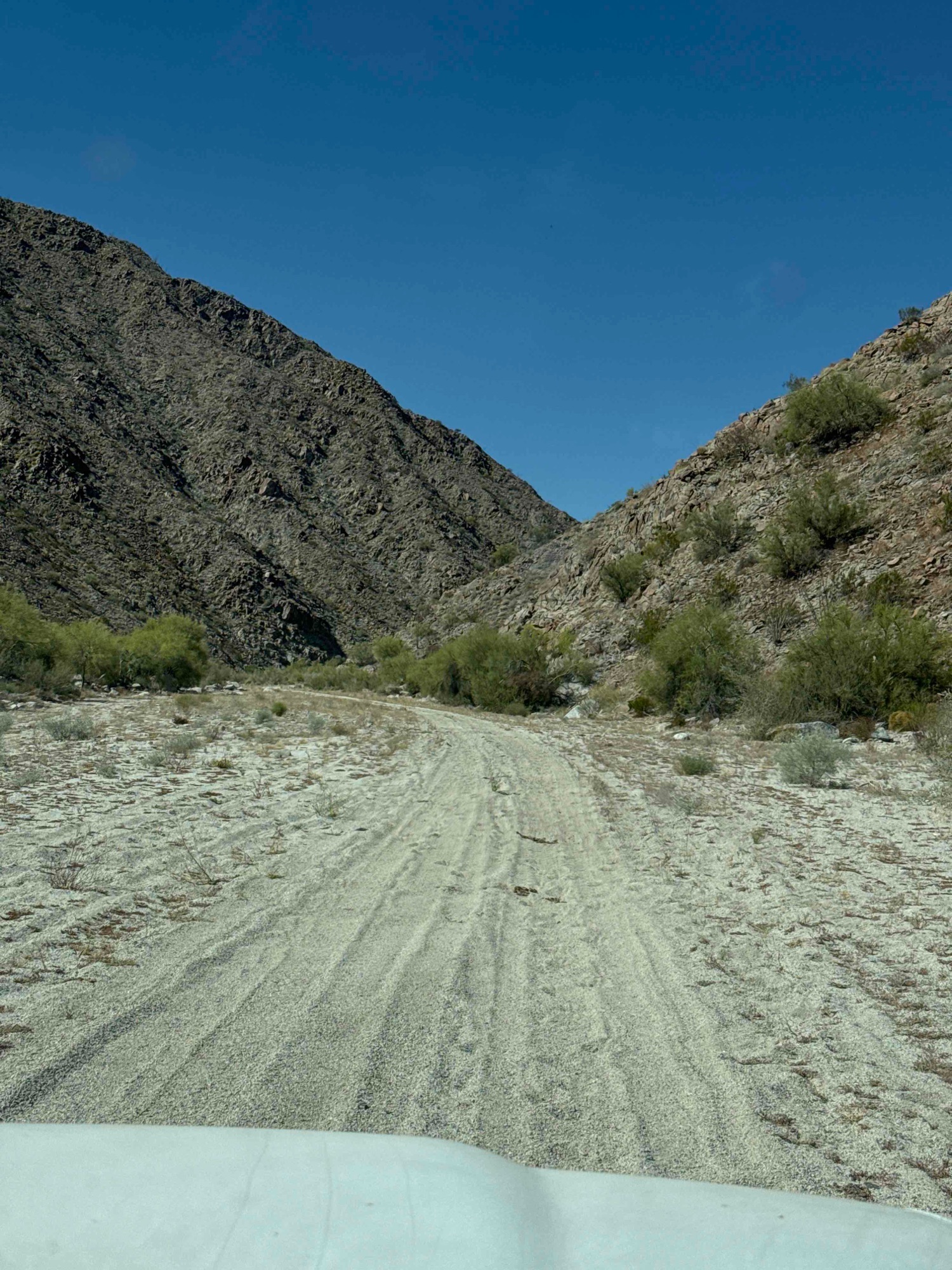
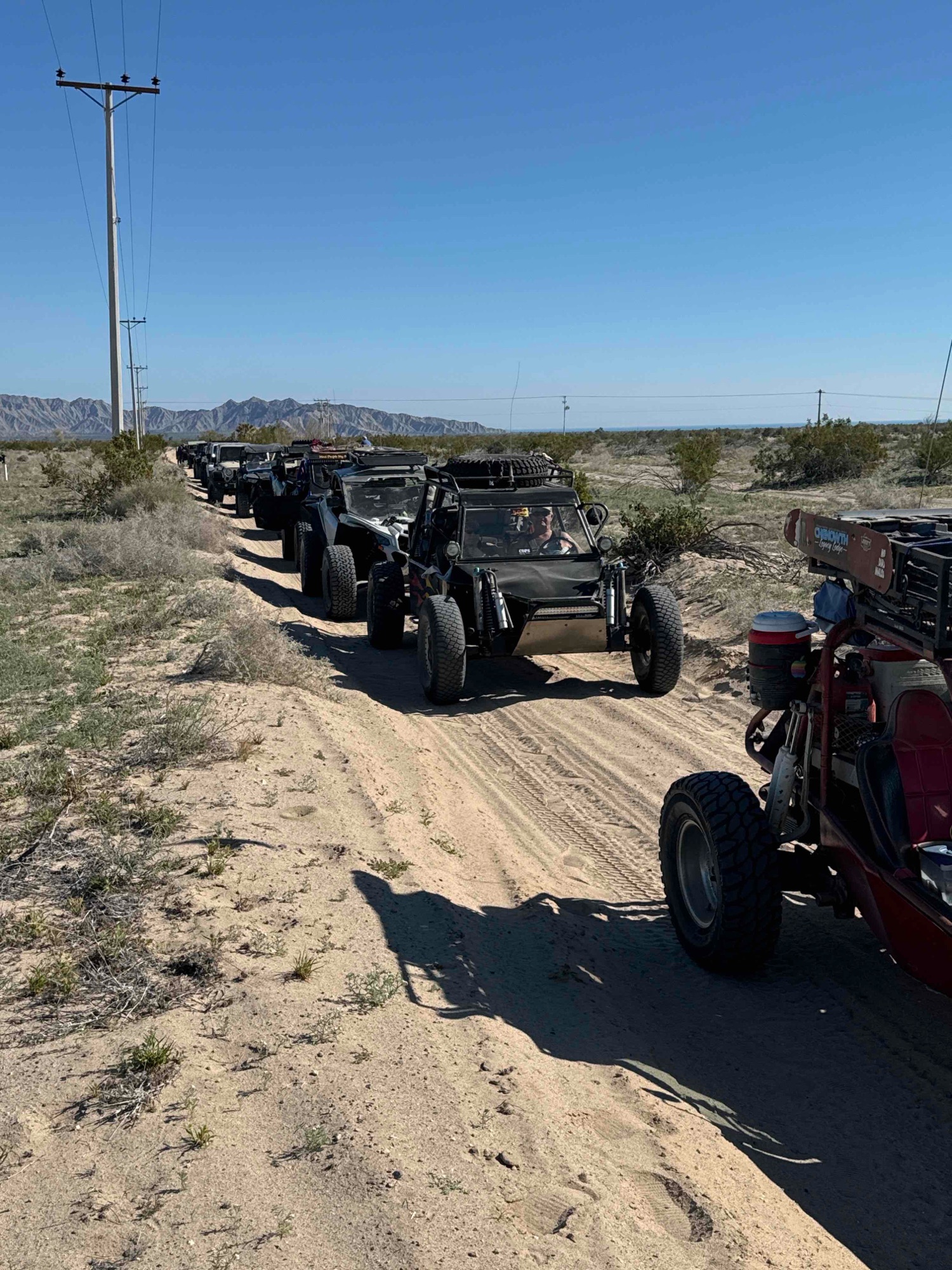 Turning west onto Arroyo Huatamote road
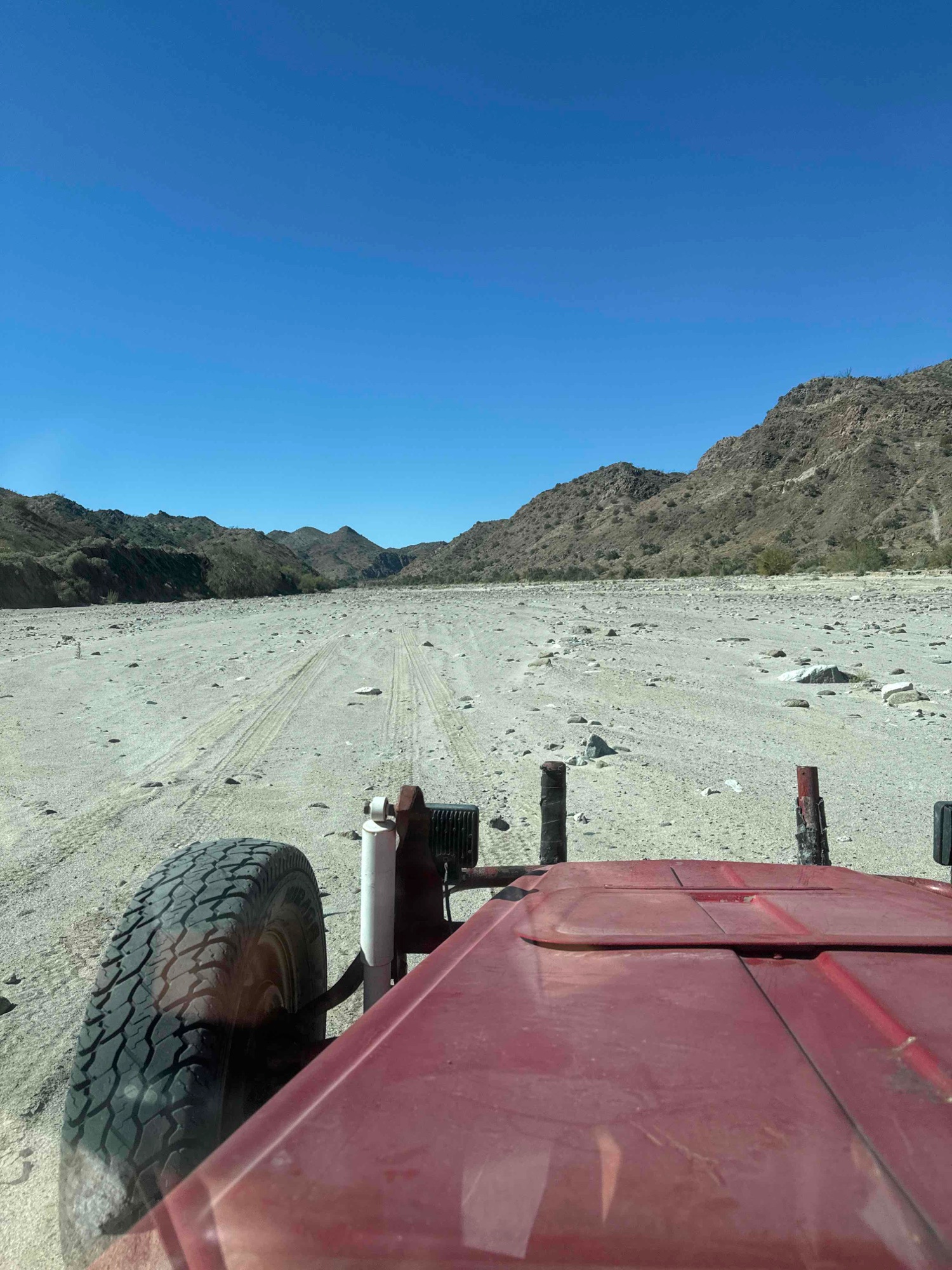
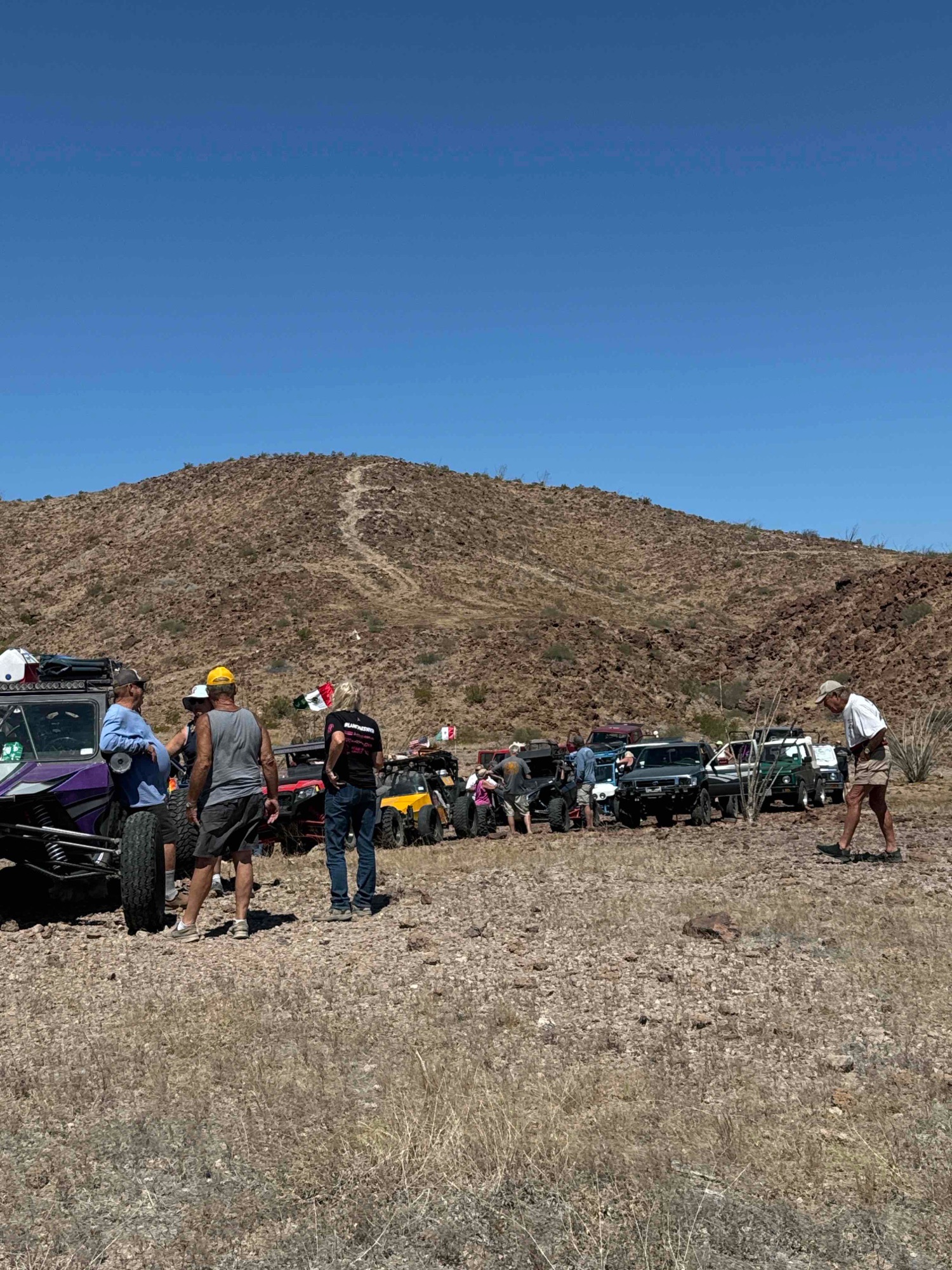
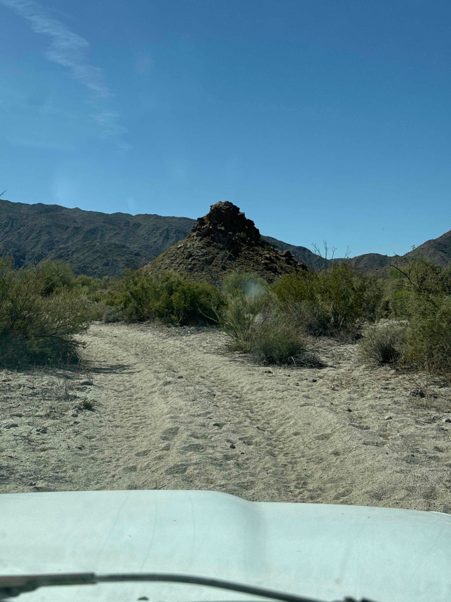
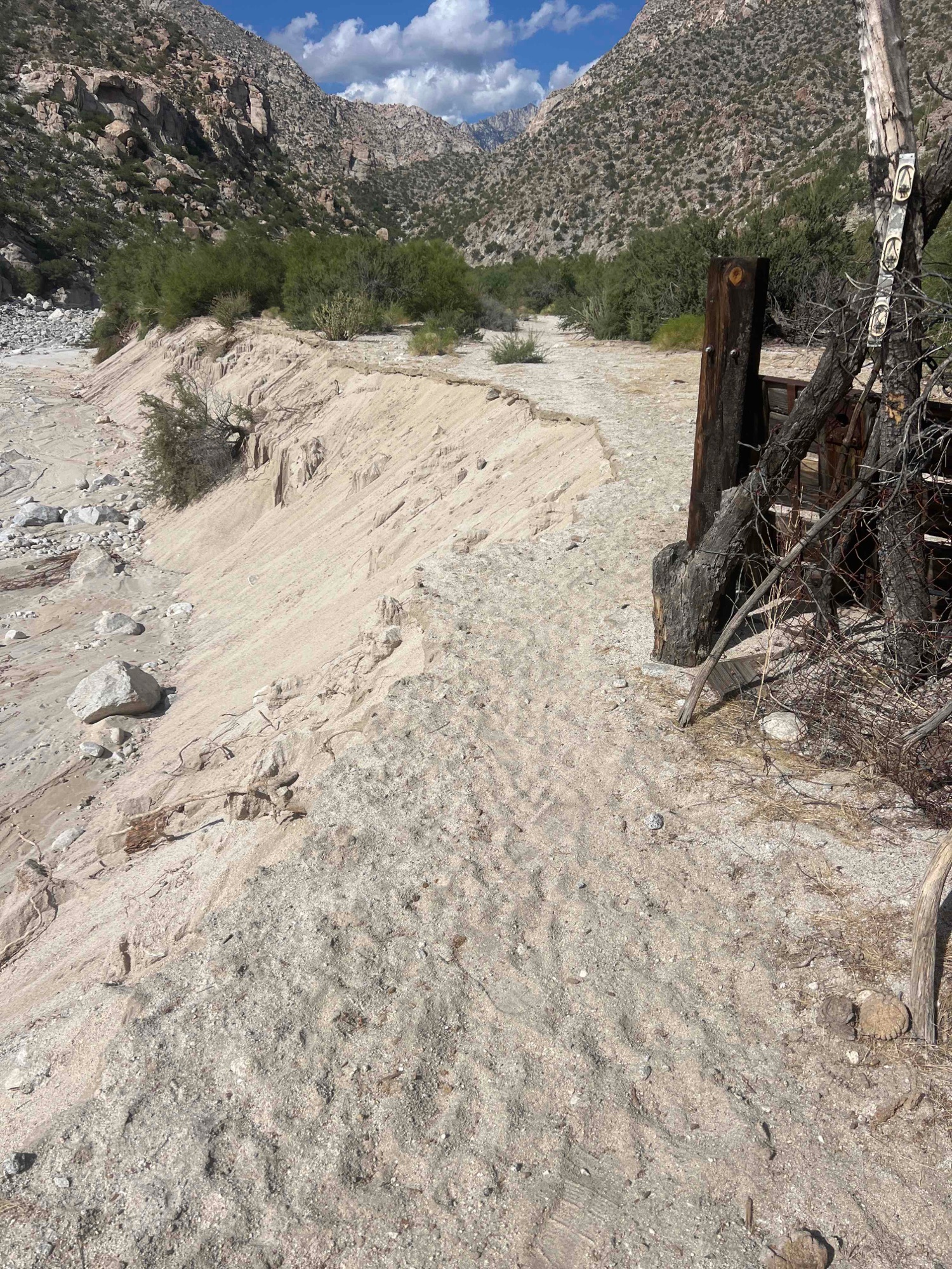
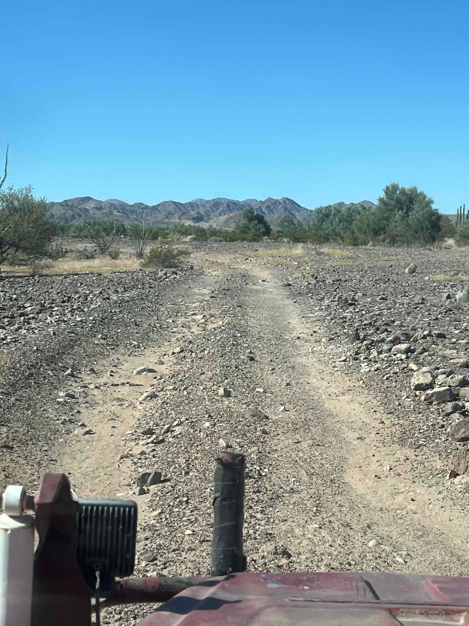
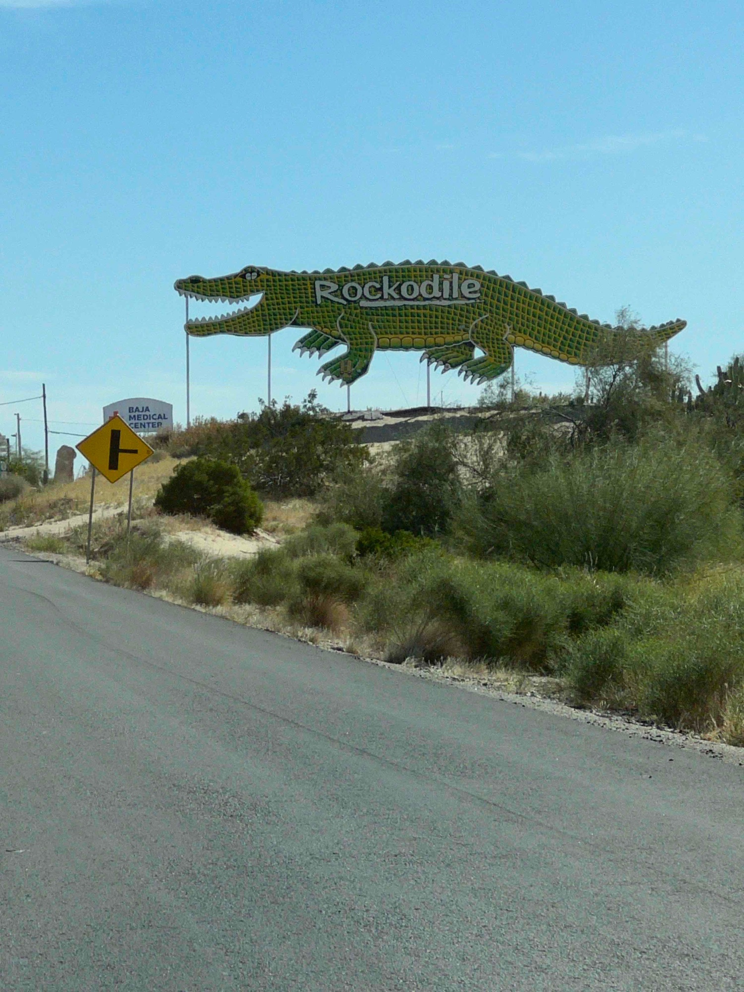
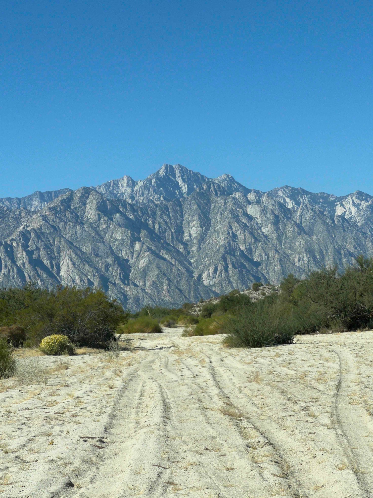
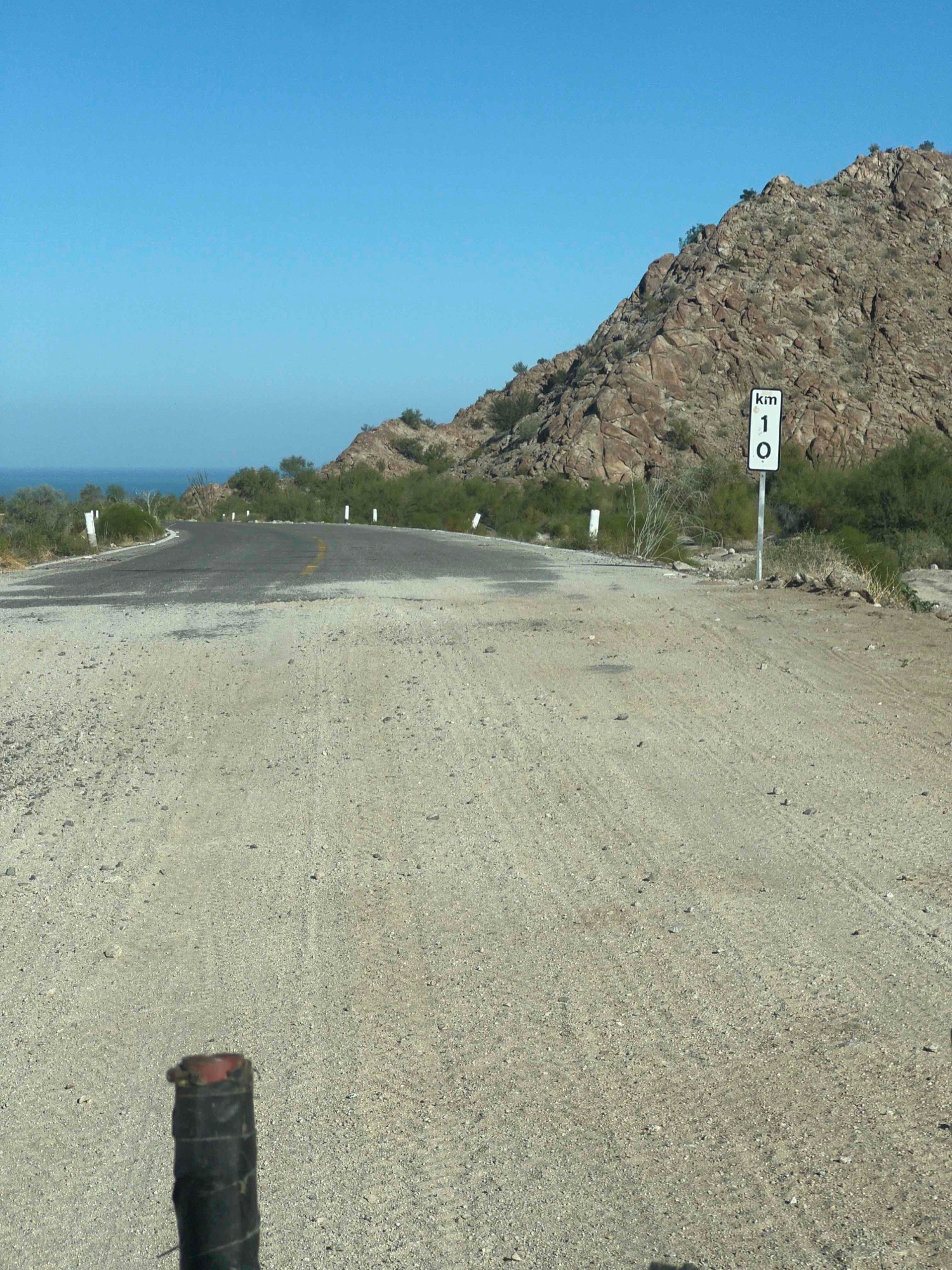
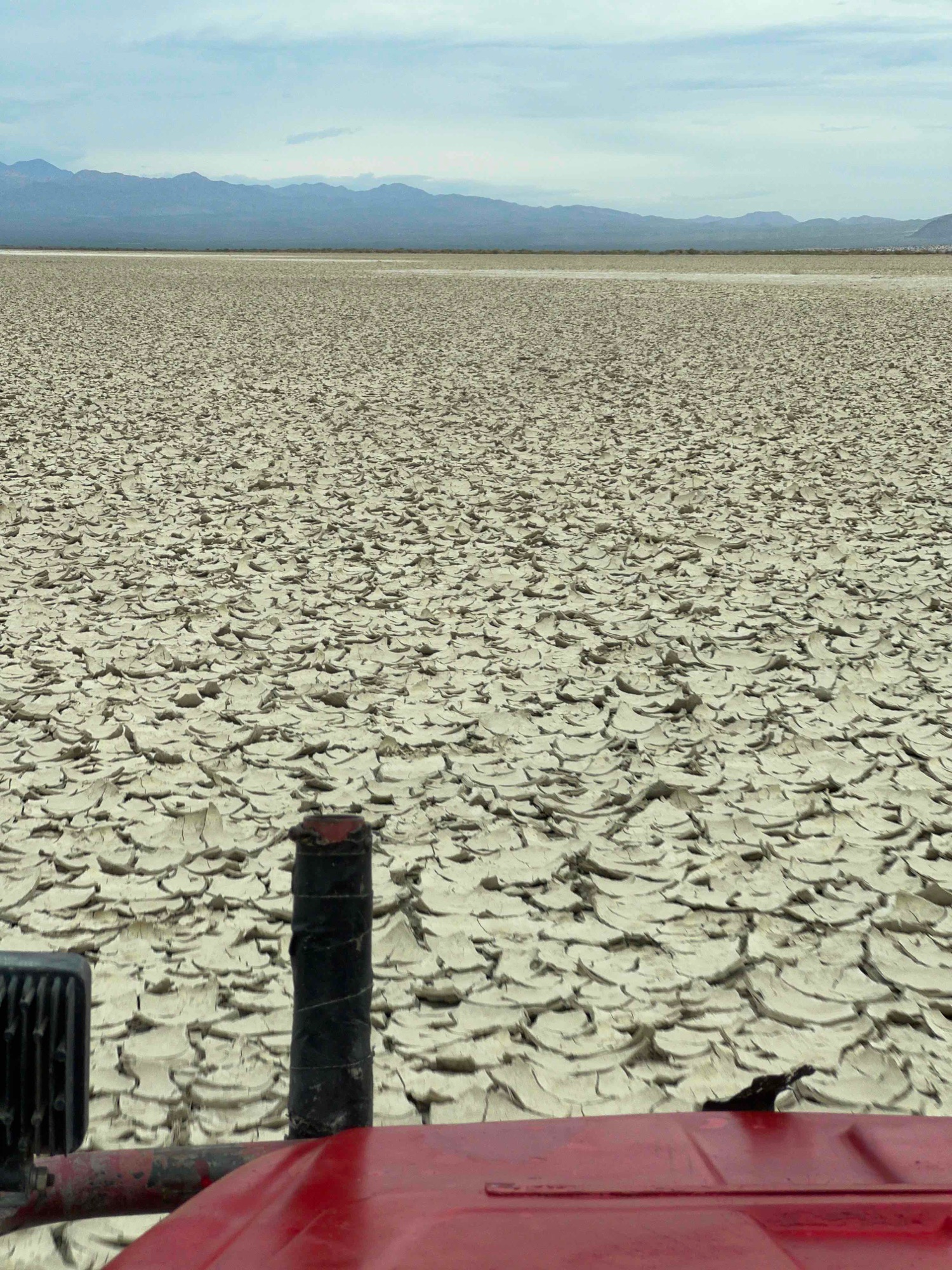
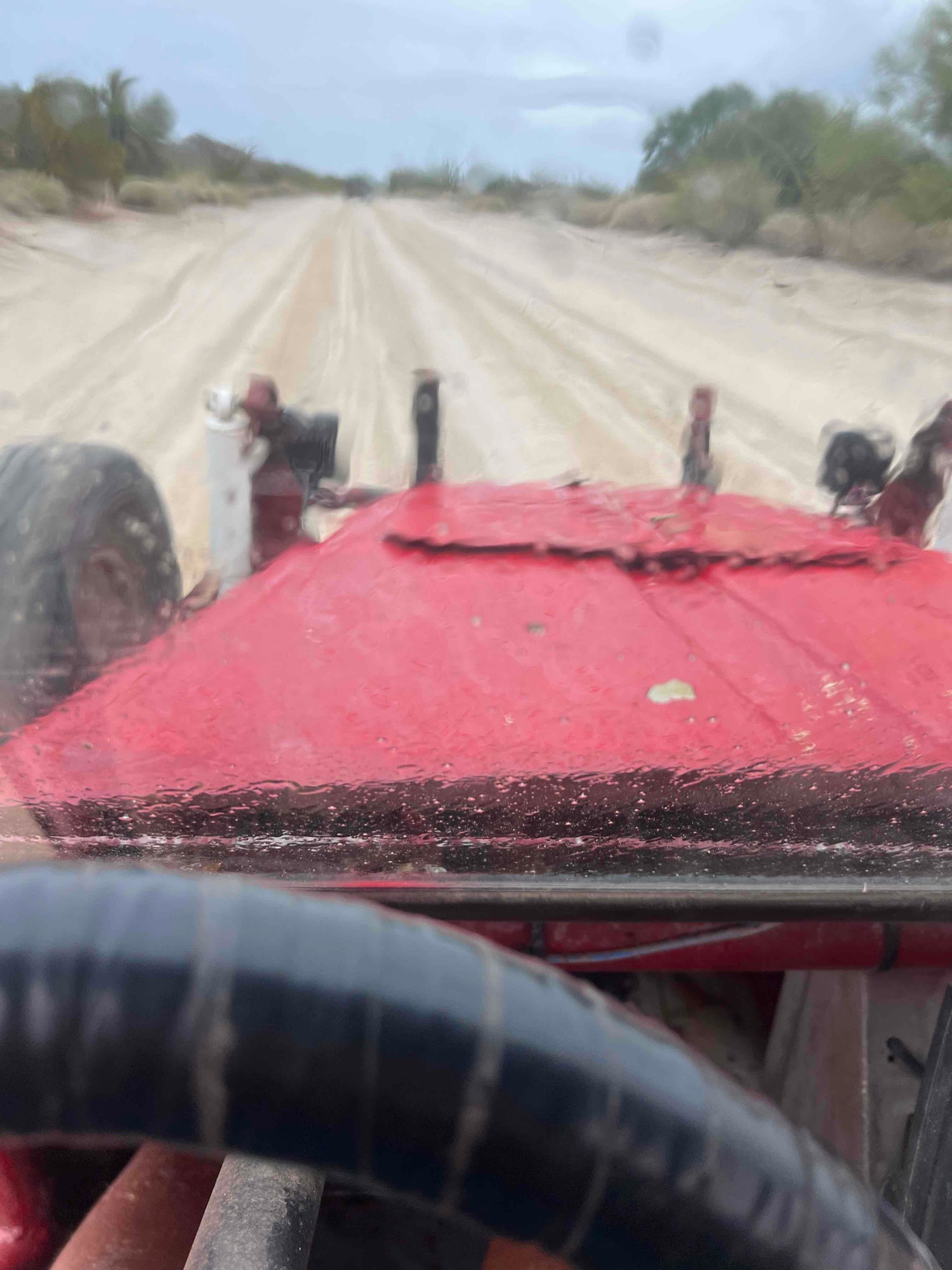
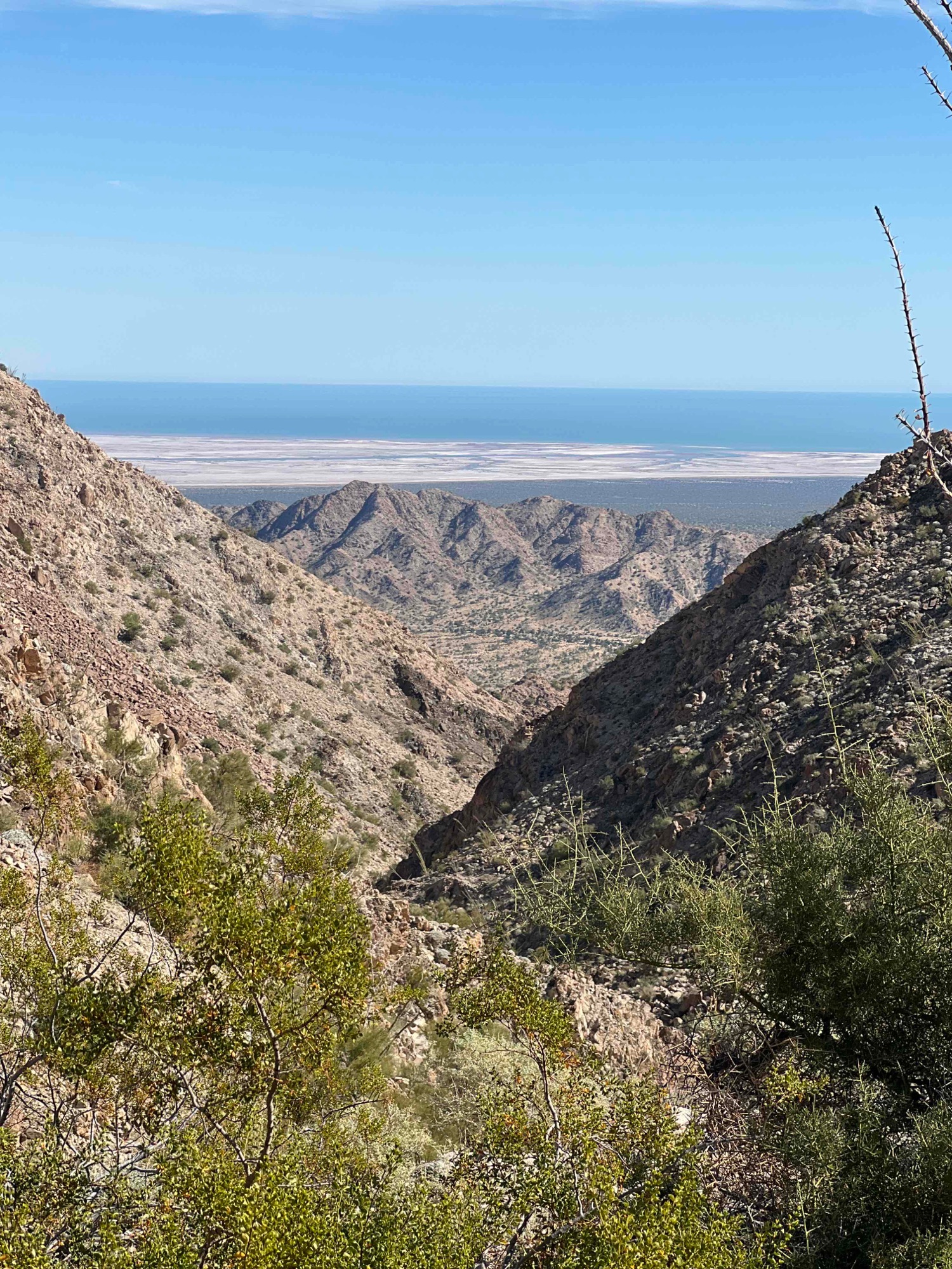
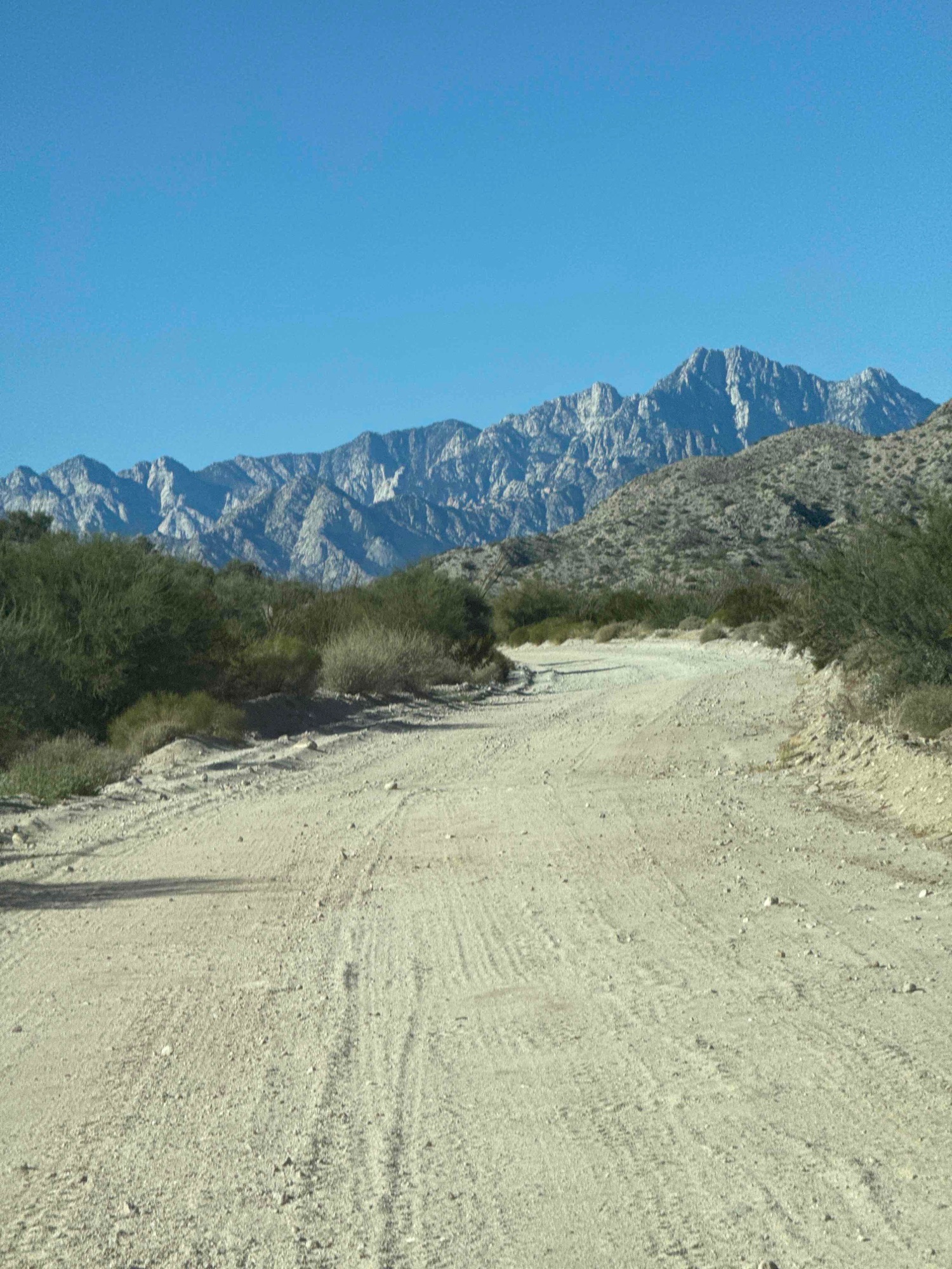
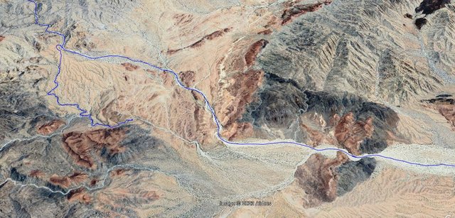
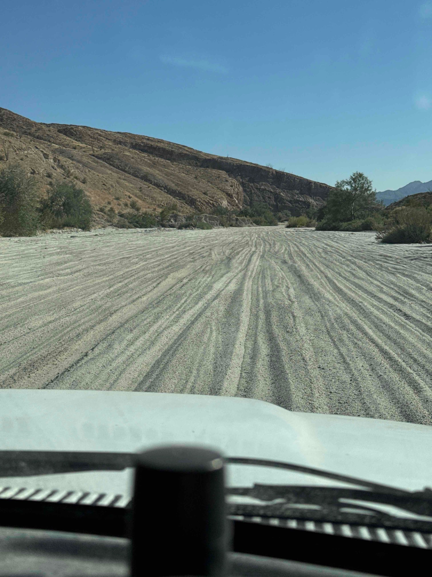
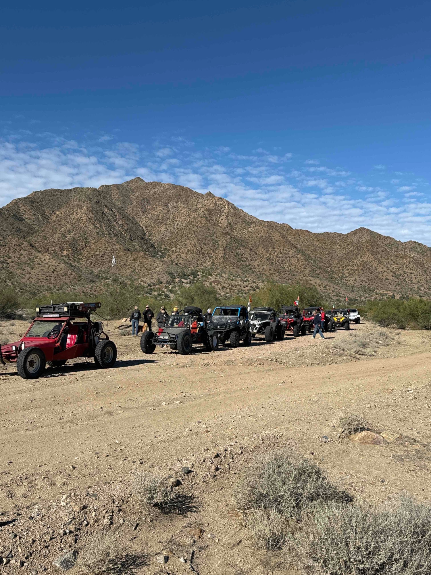
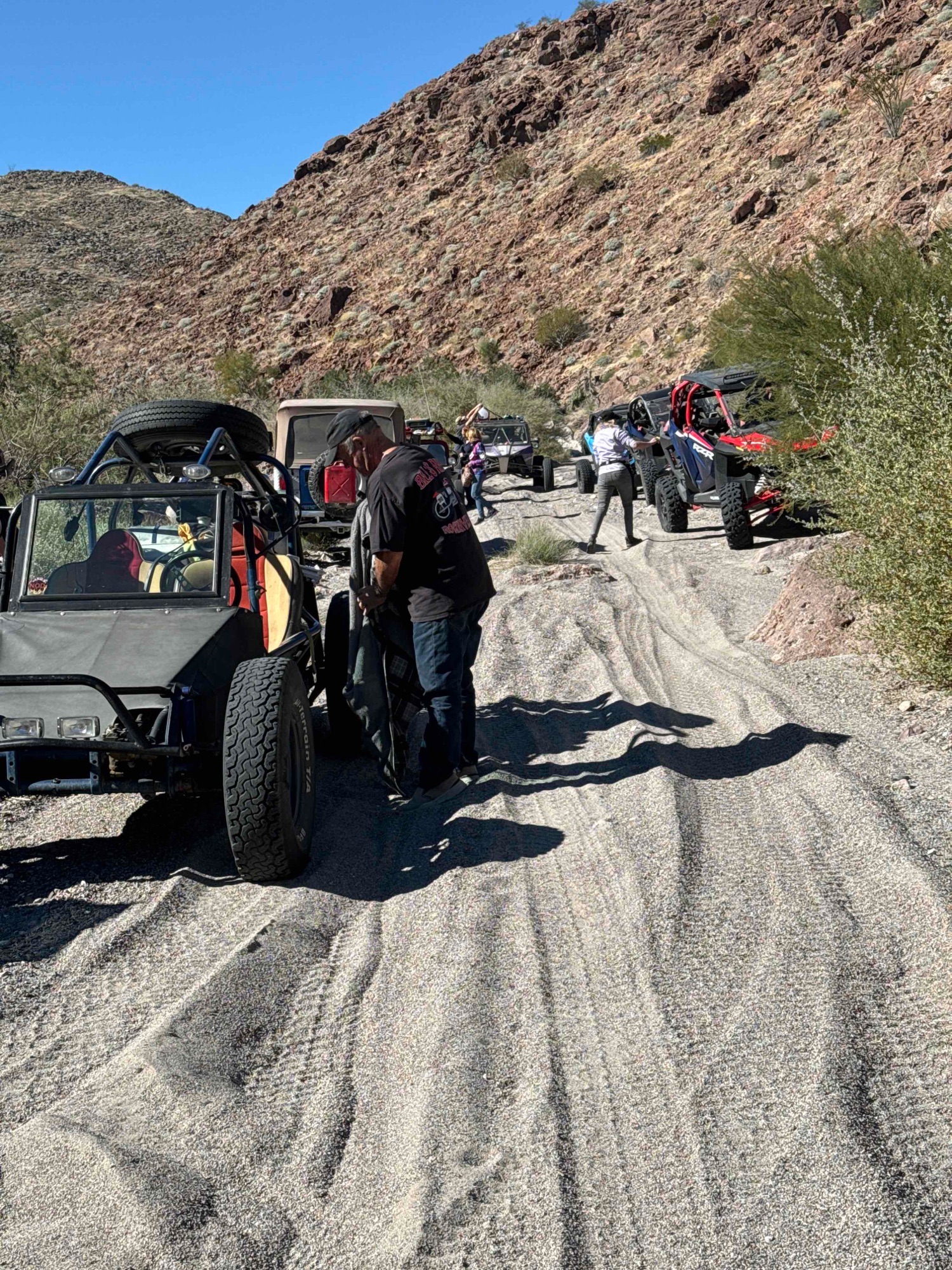
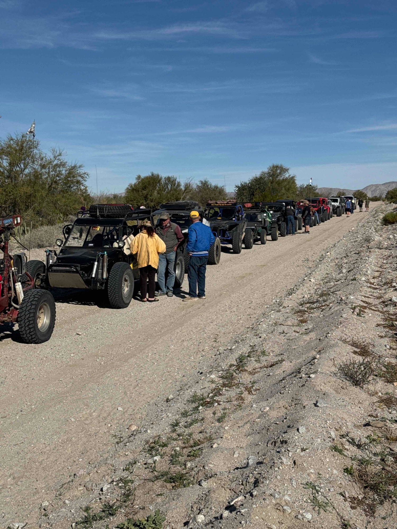
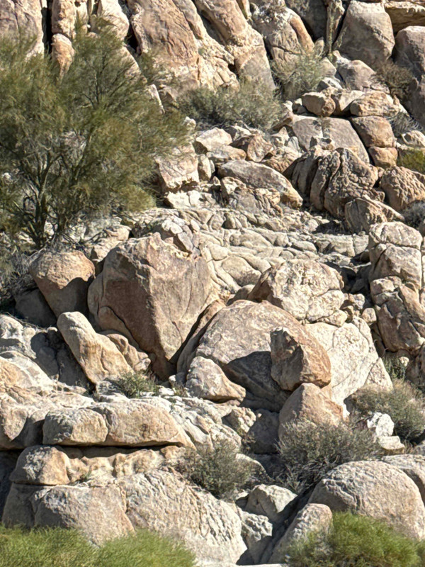
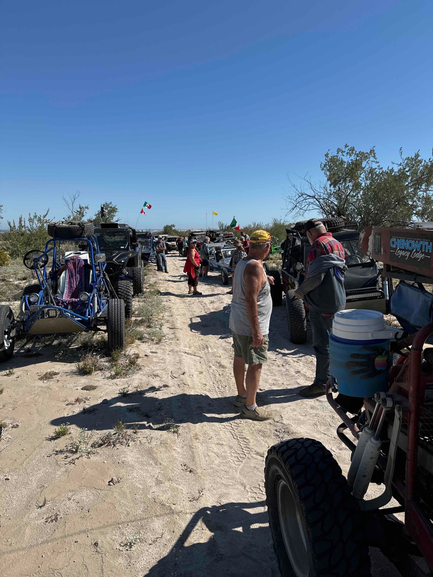
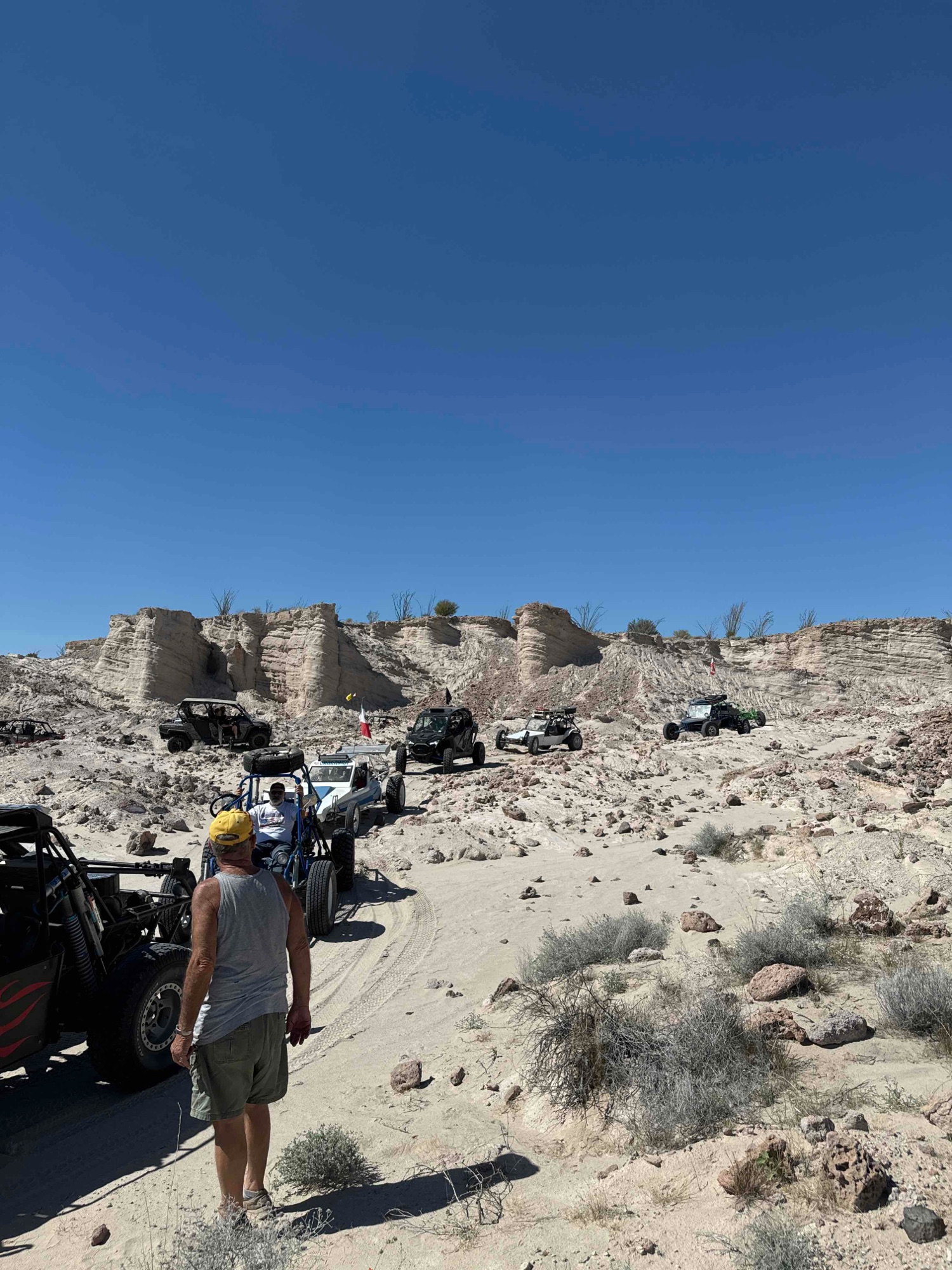
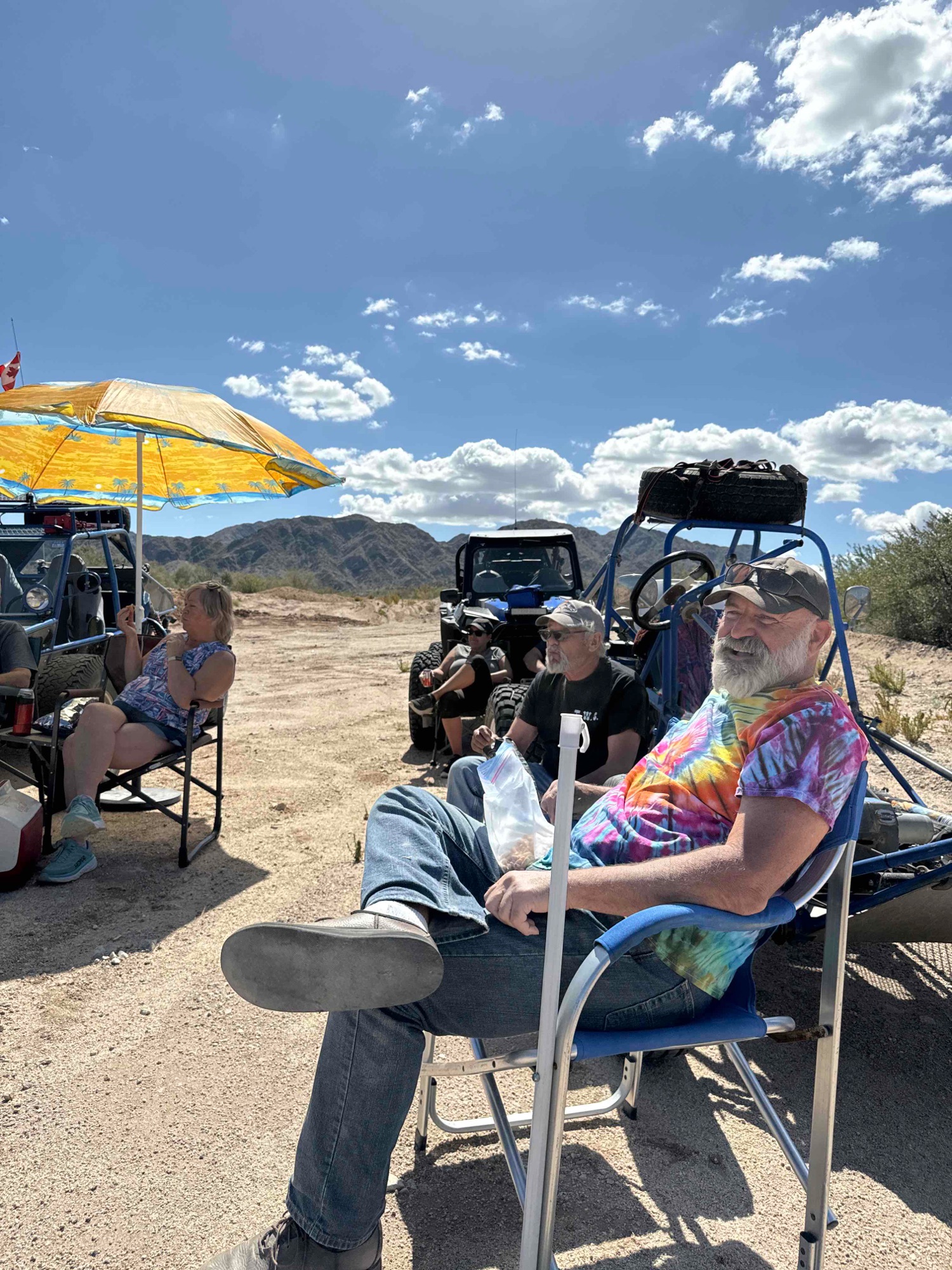
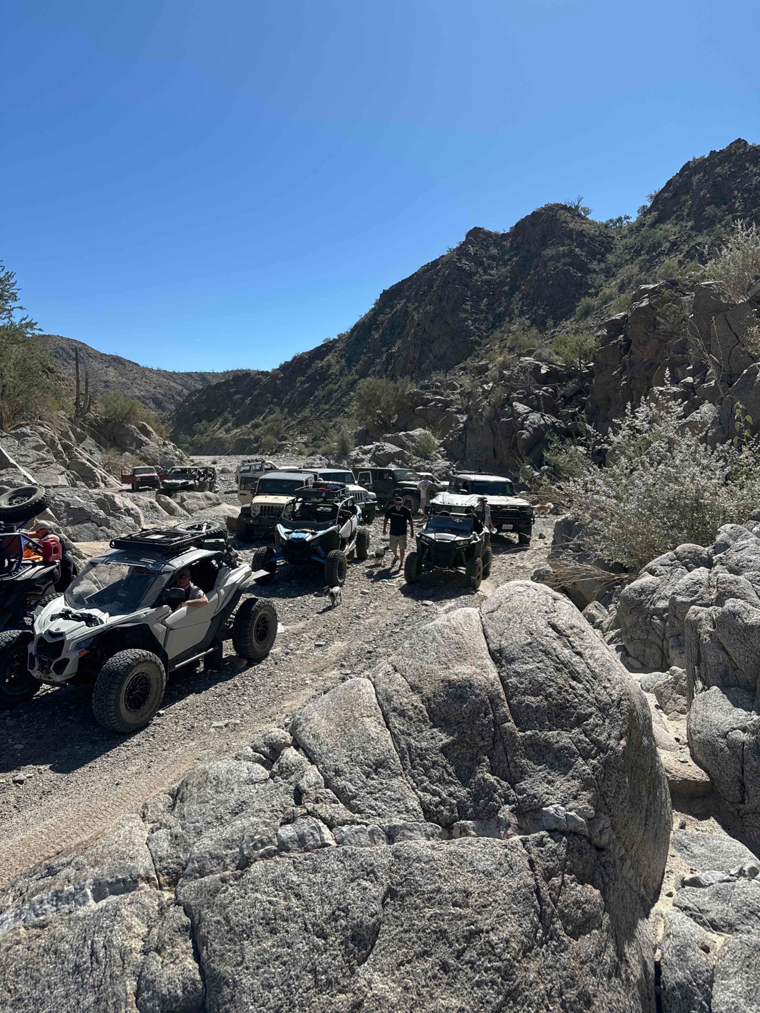 End of the road (almost)
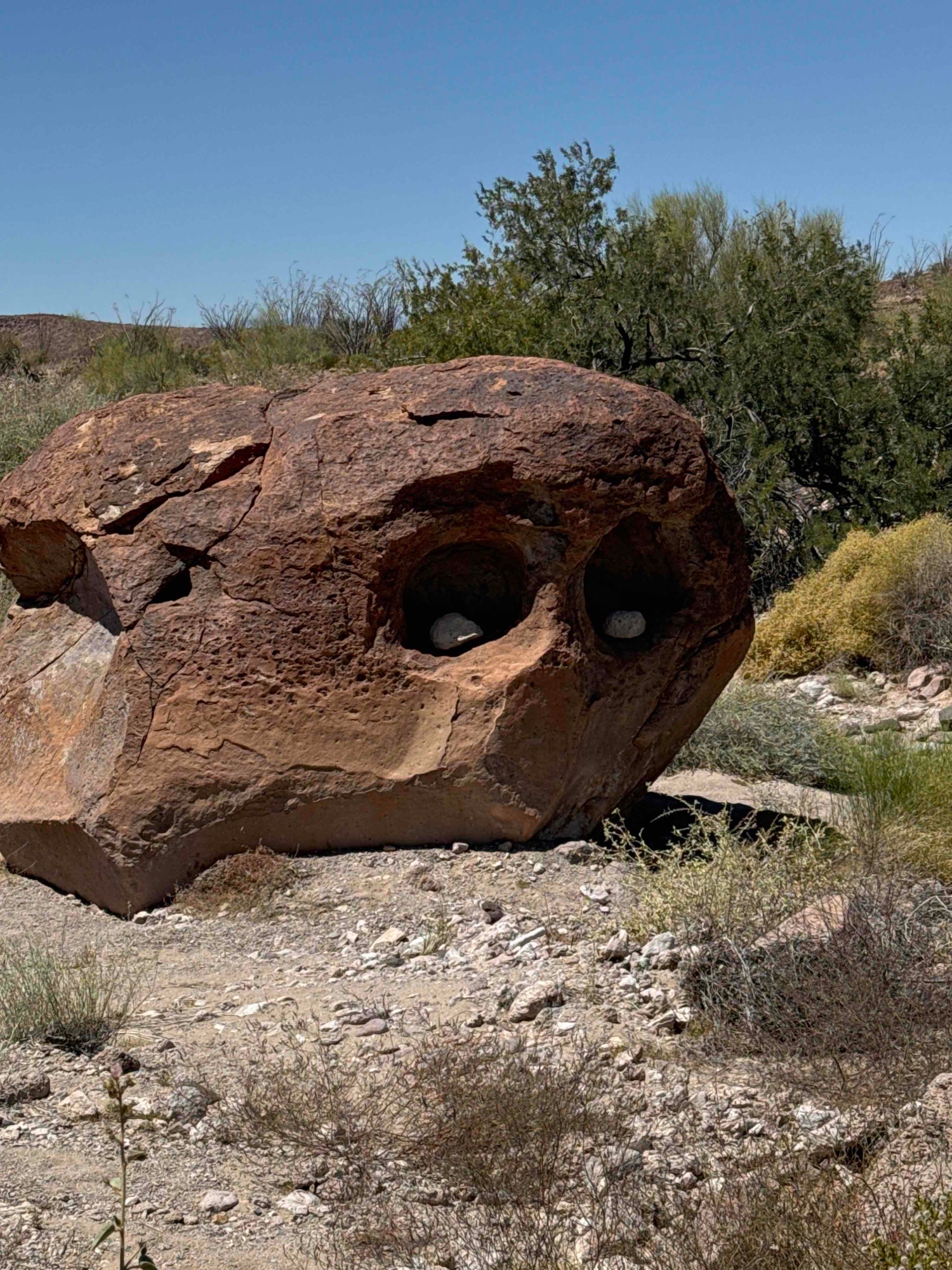
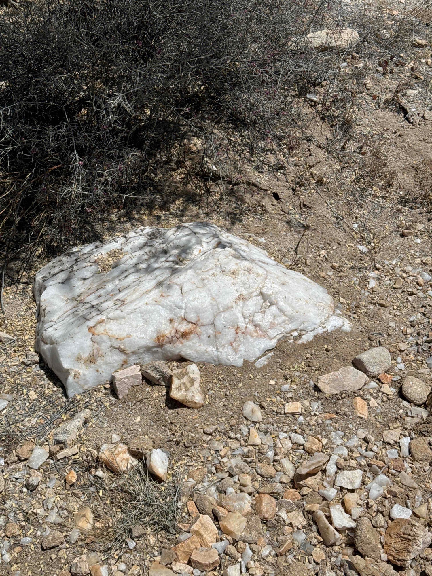
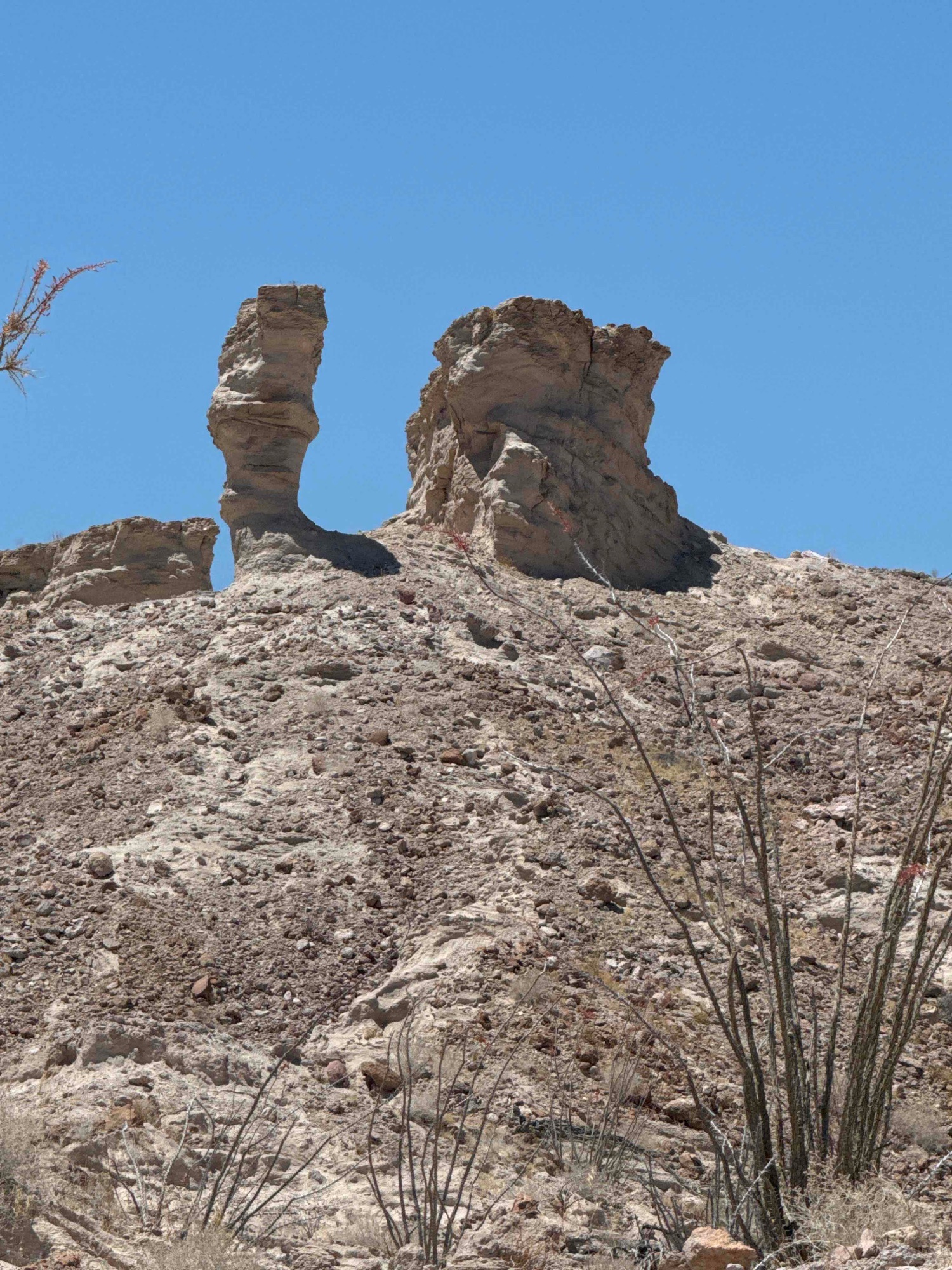
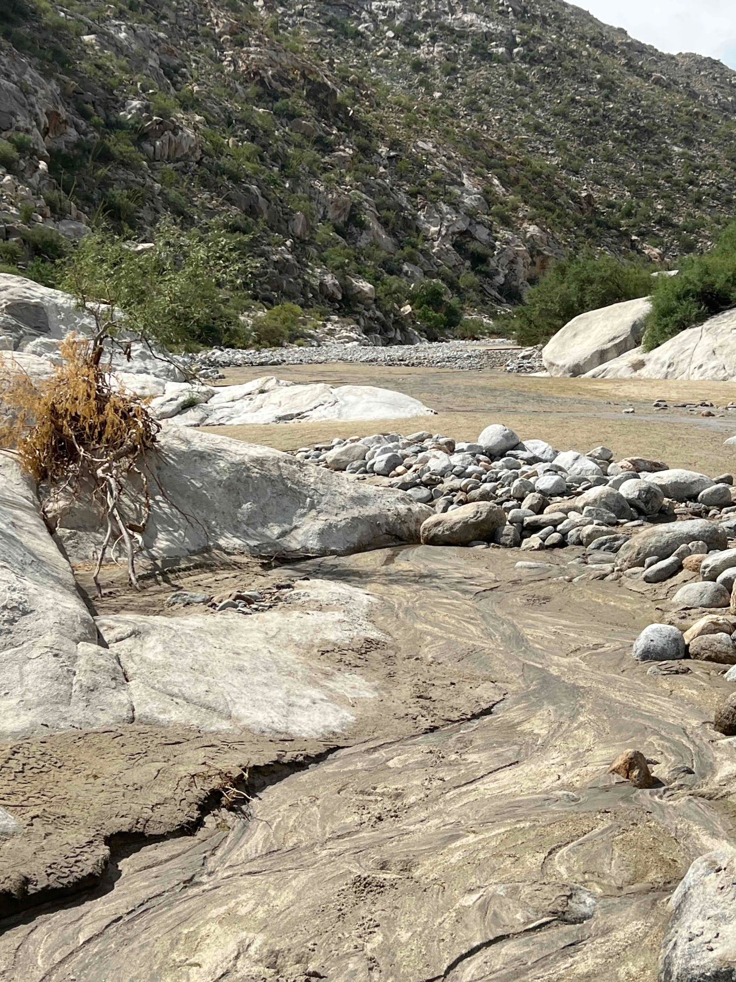
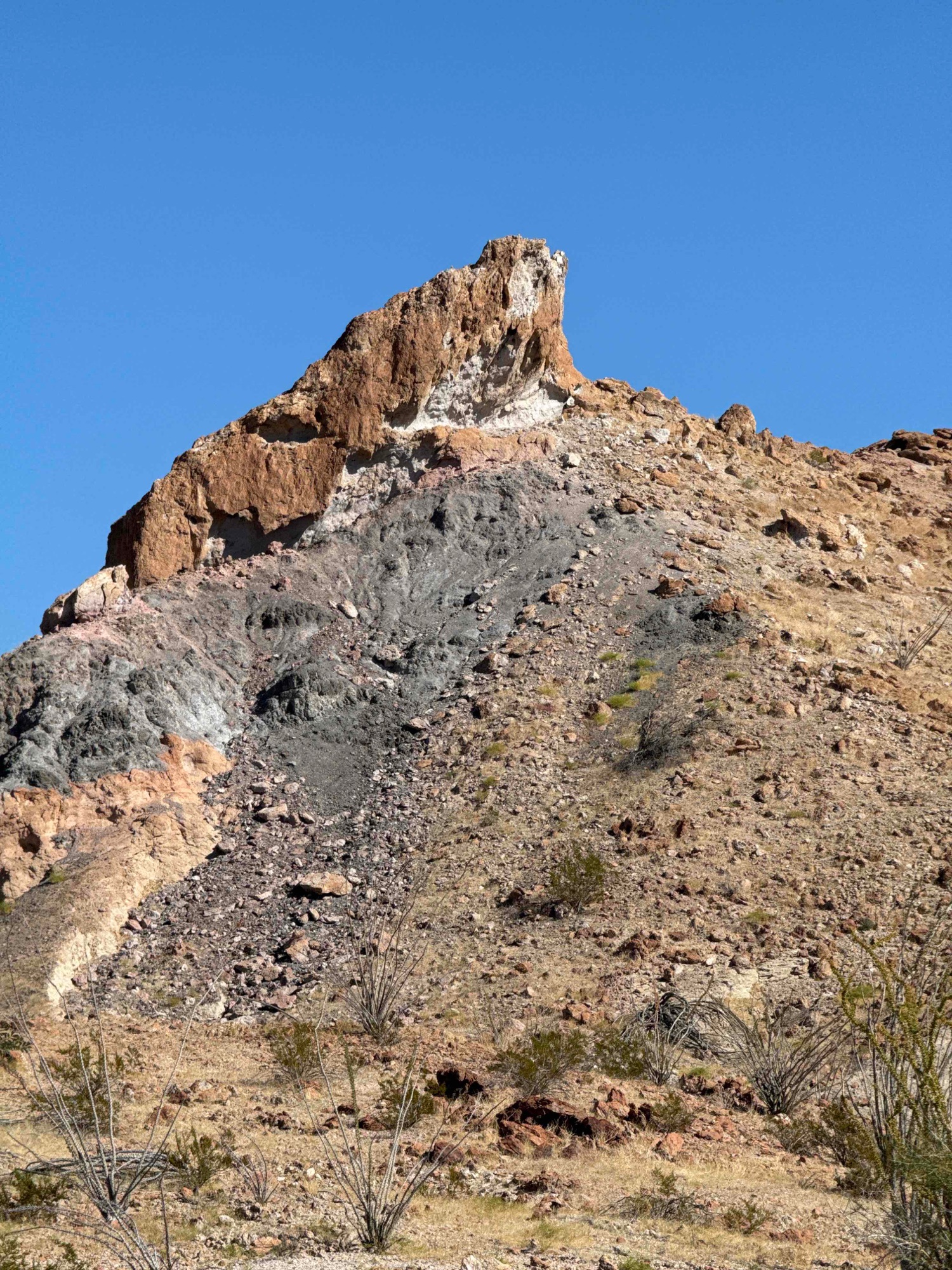
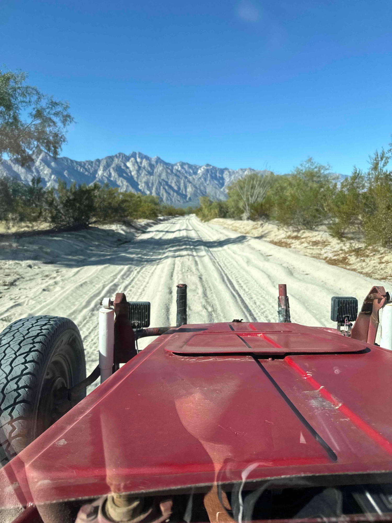
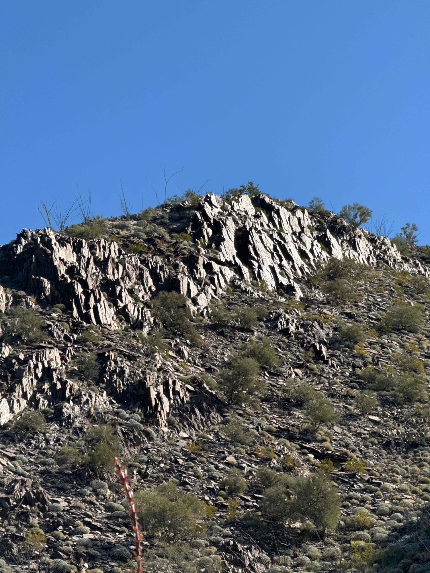
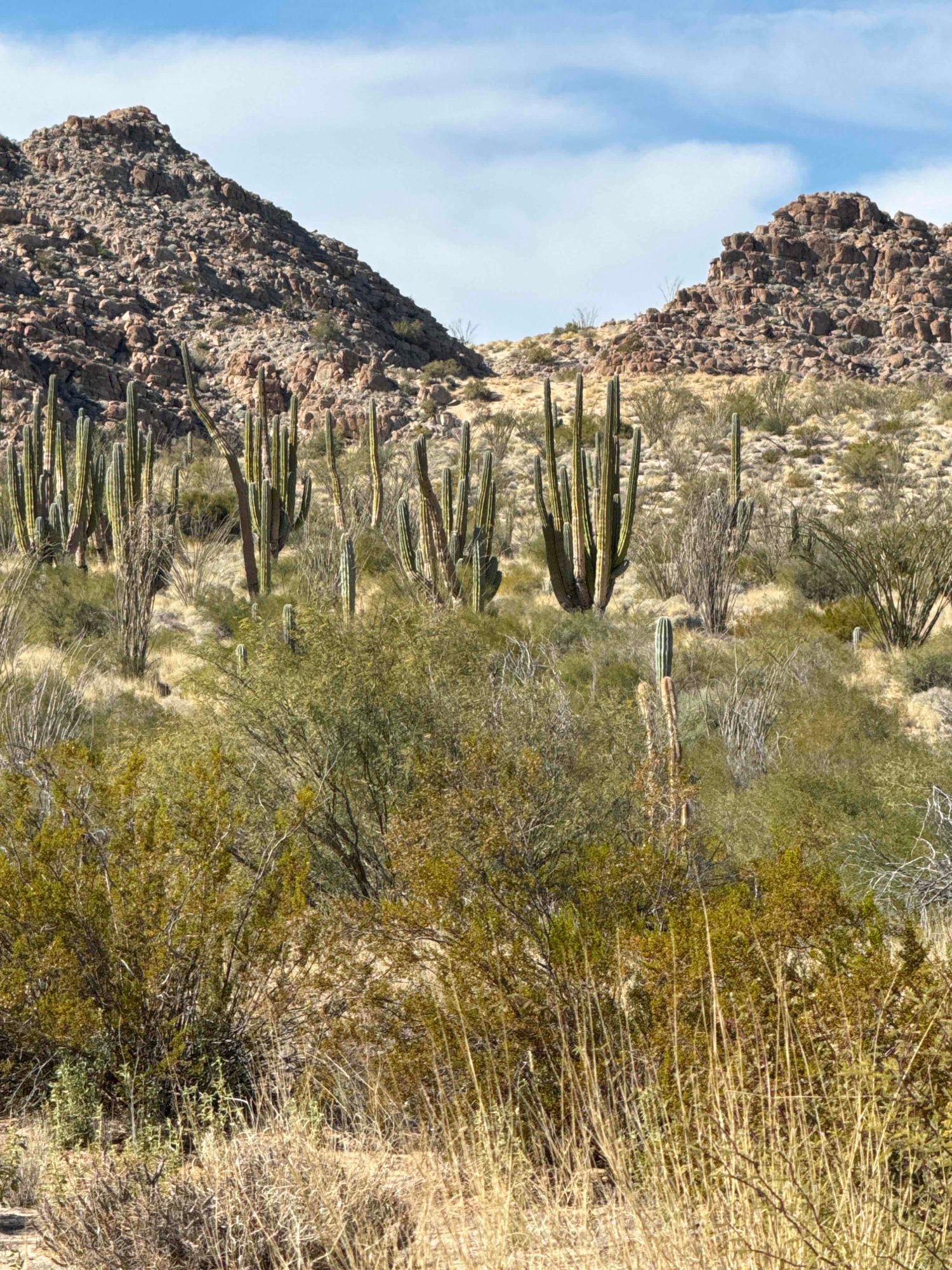
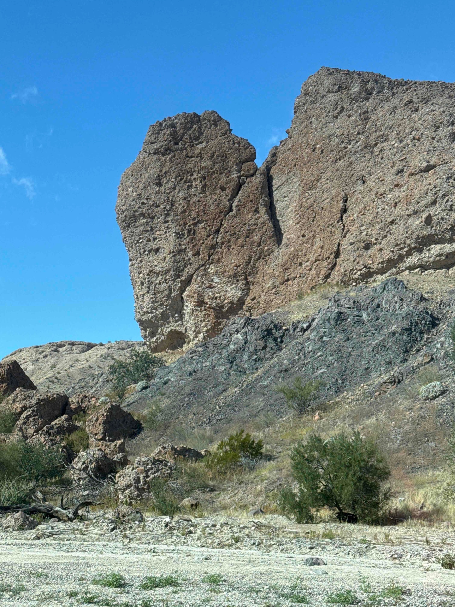
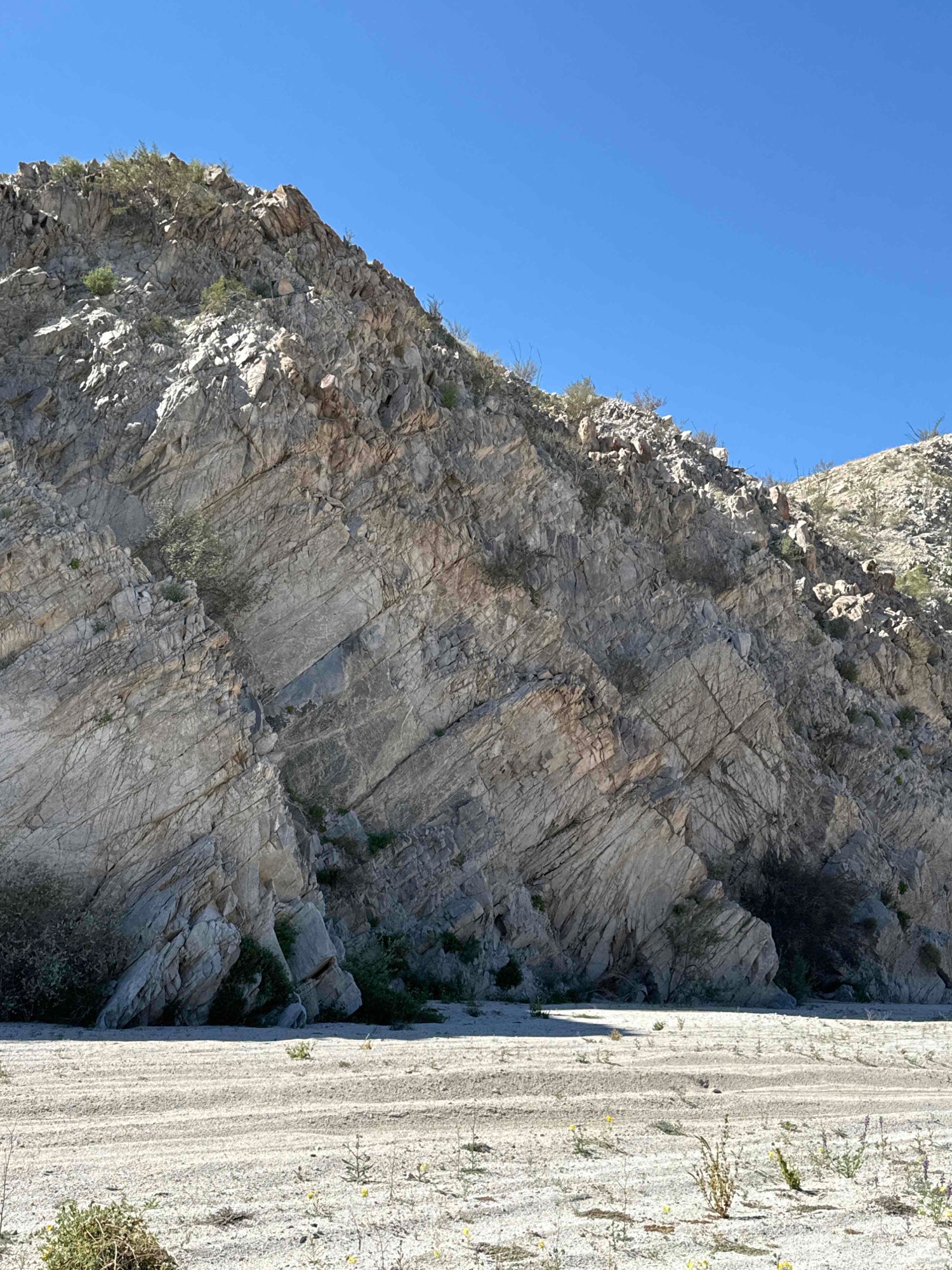
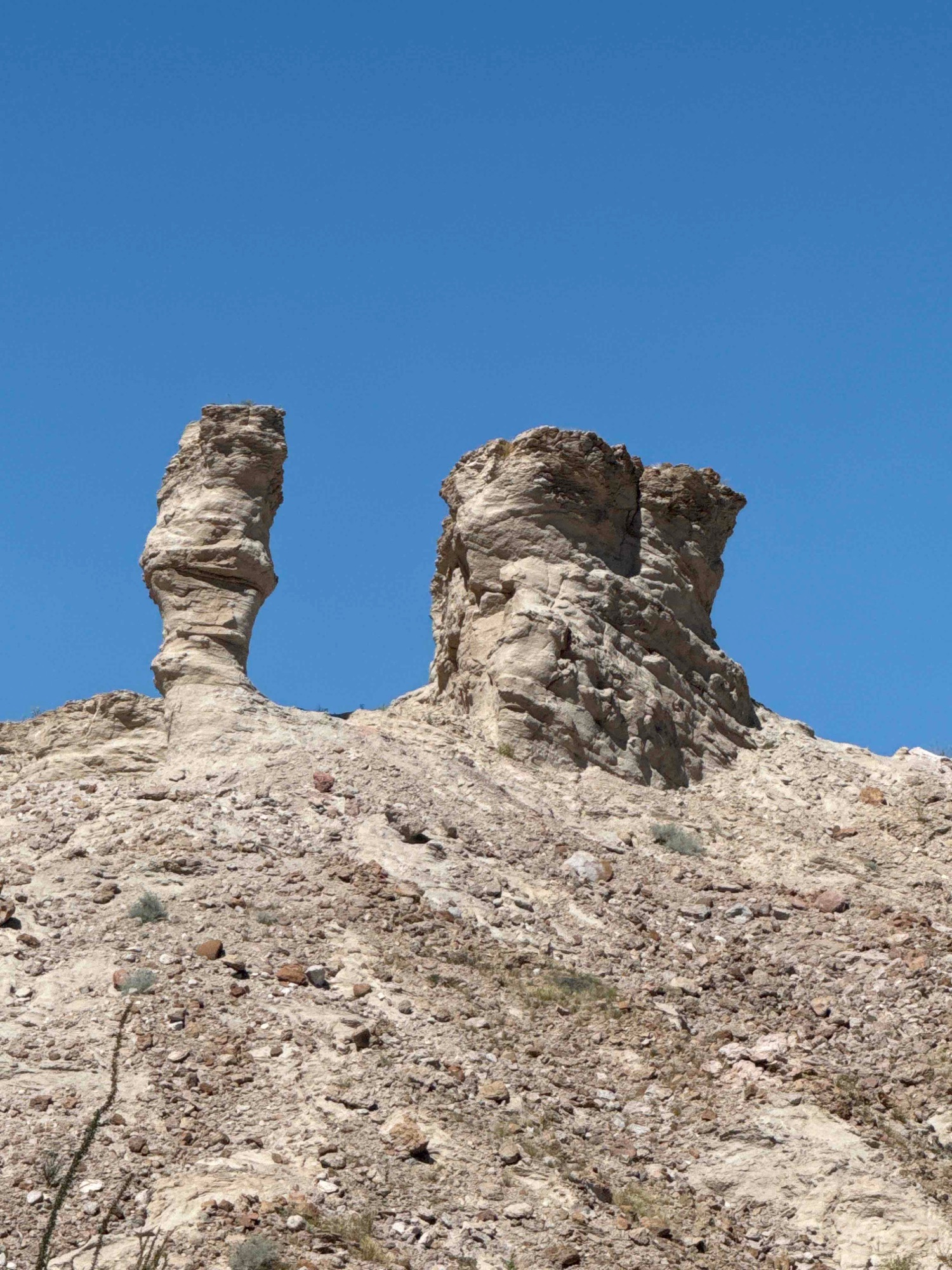
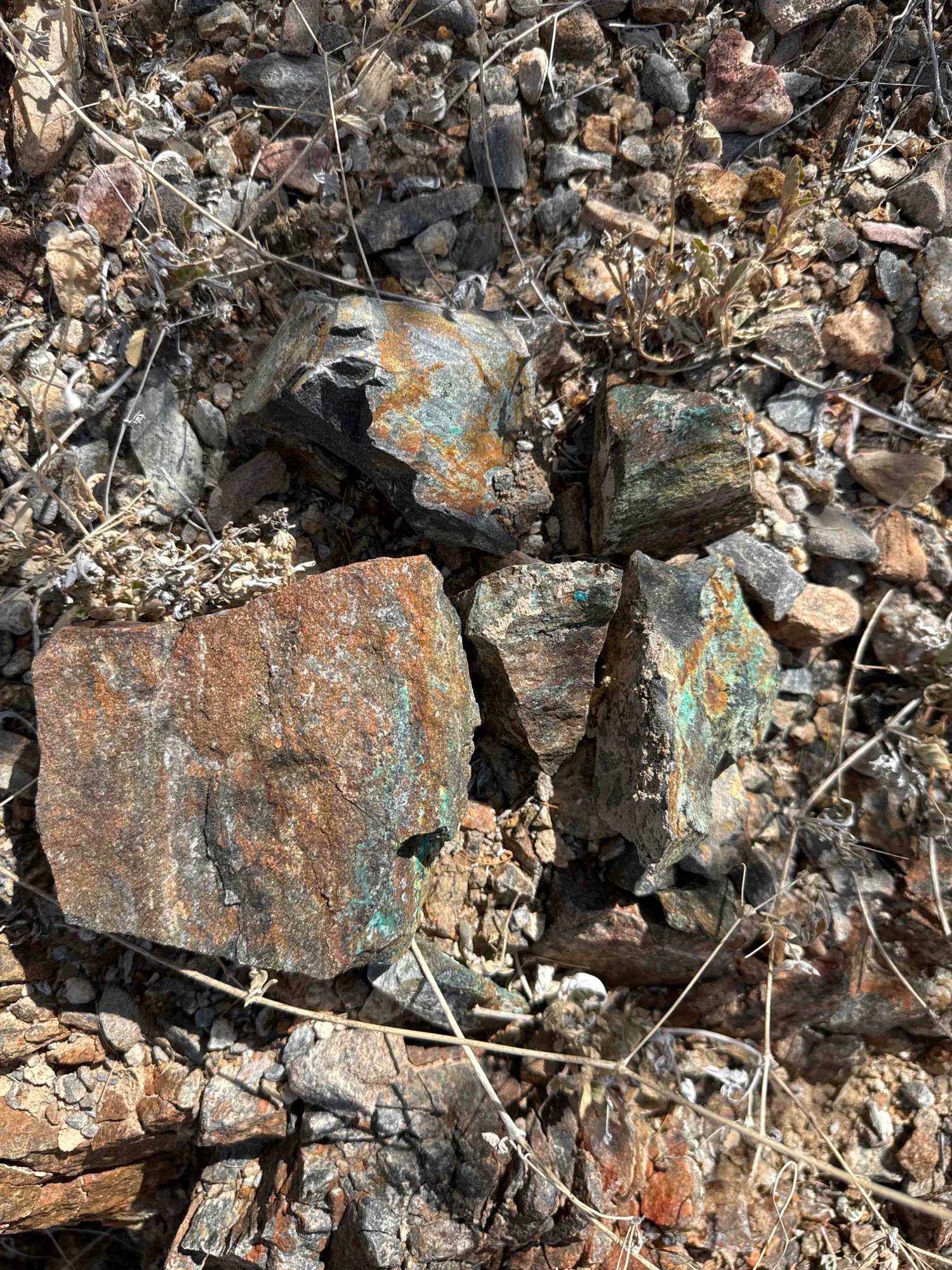
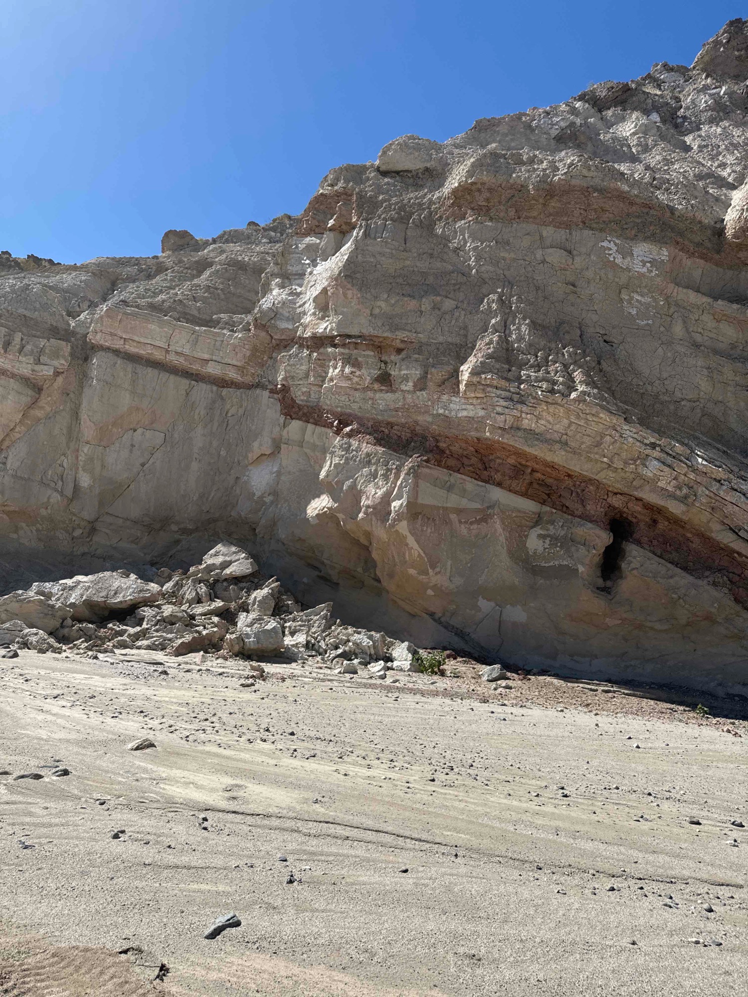 Geology!
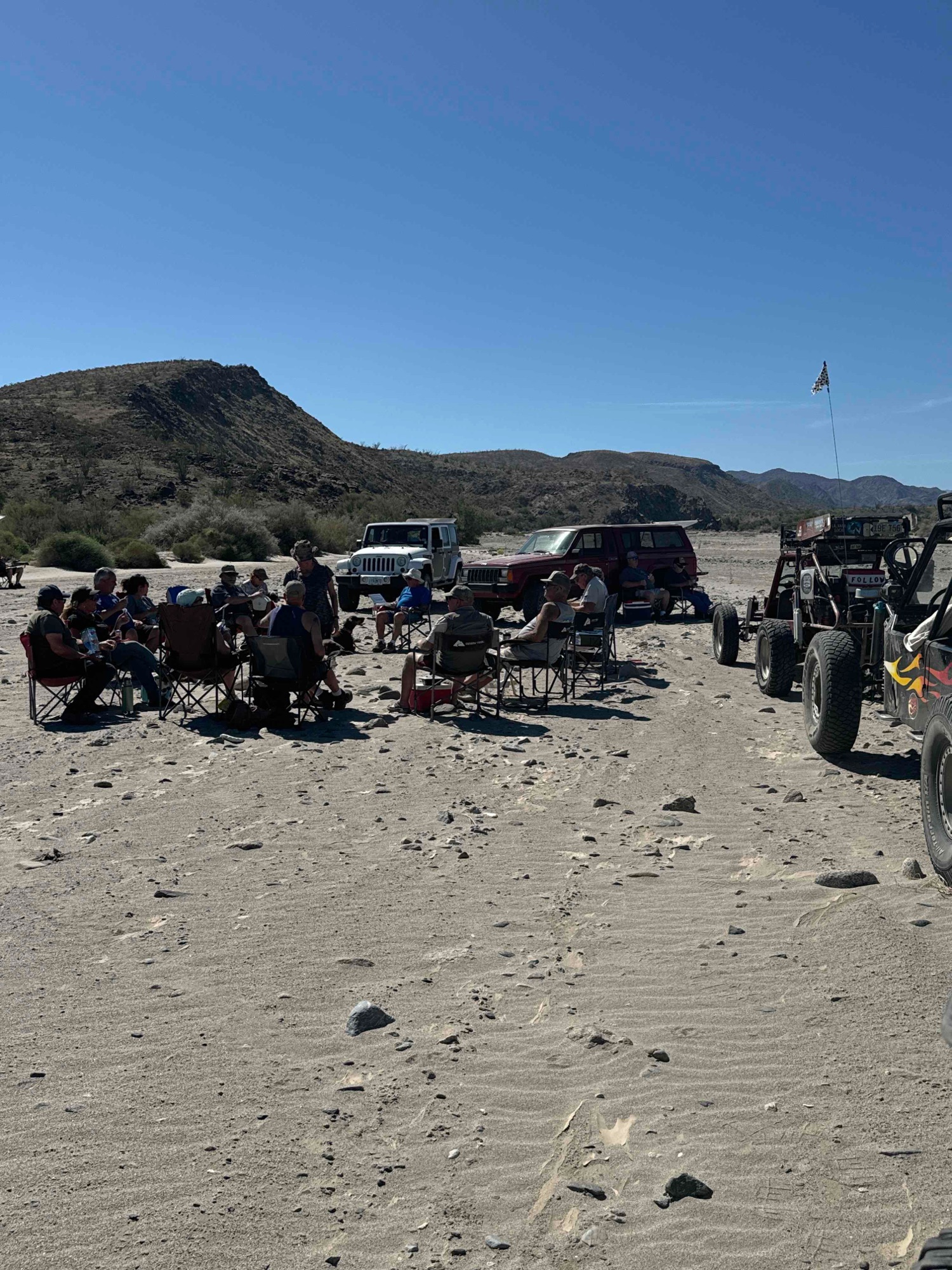
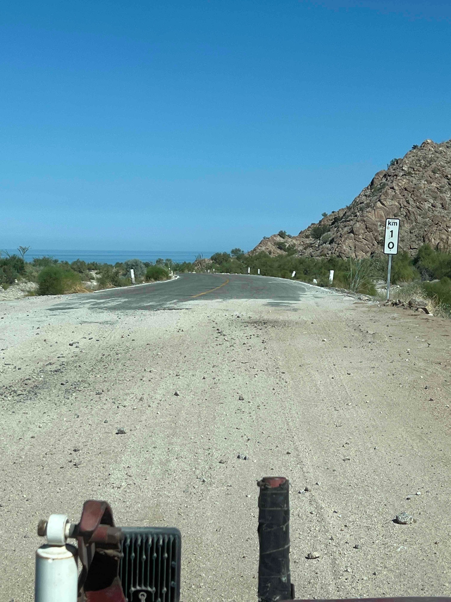
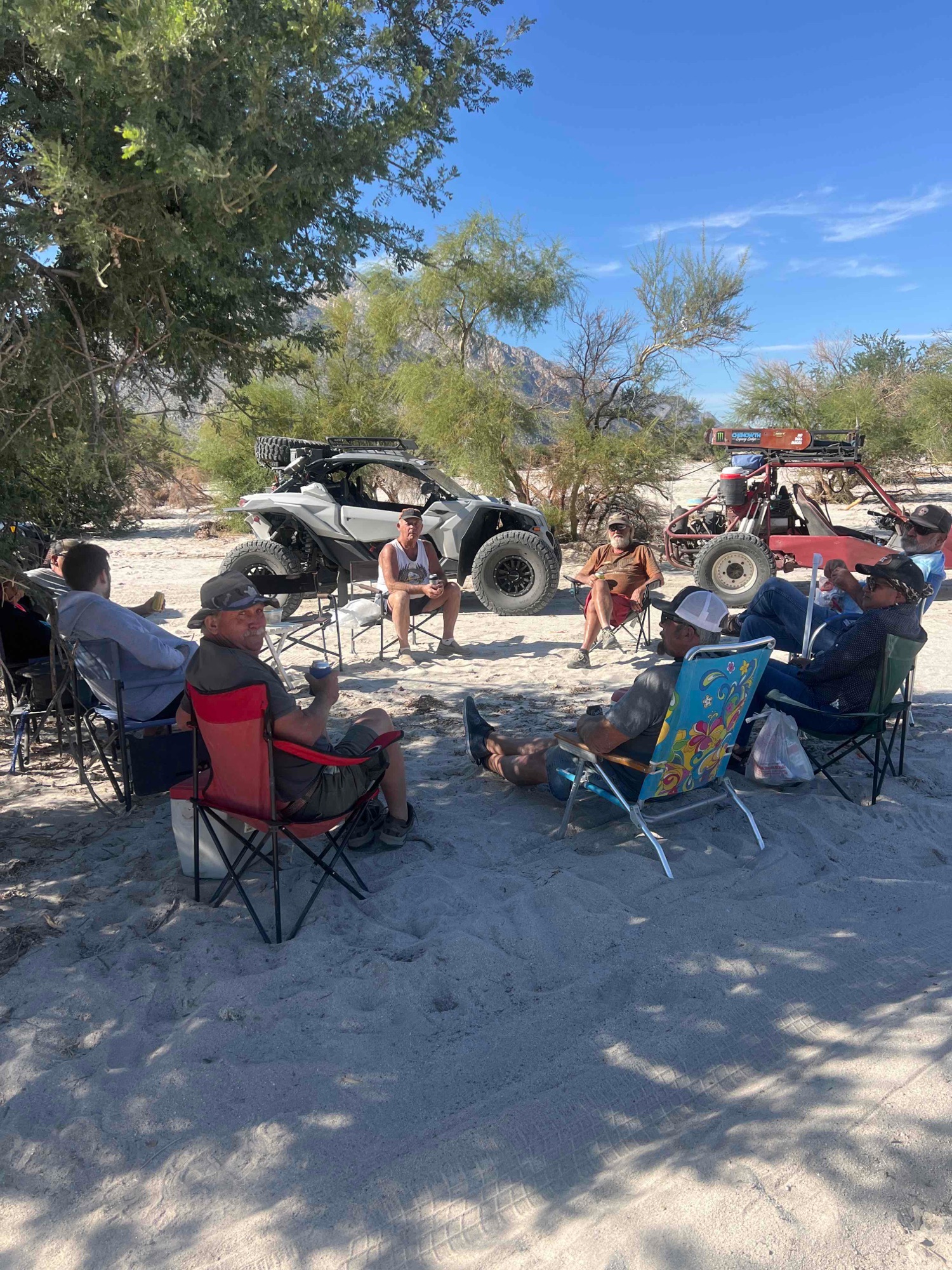
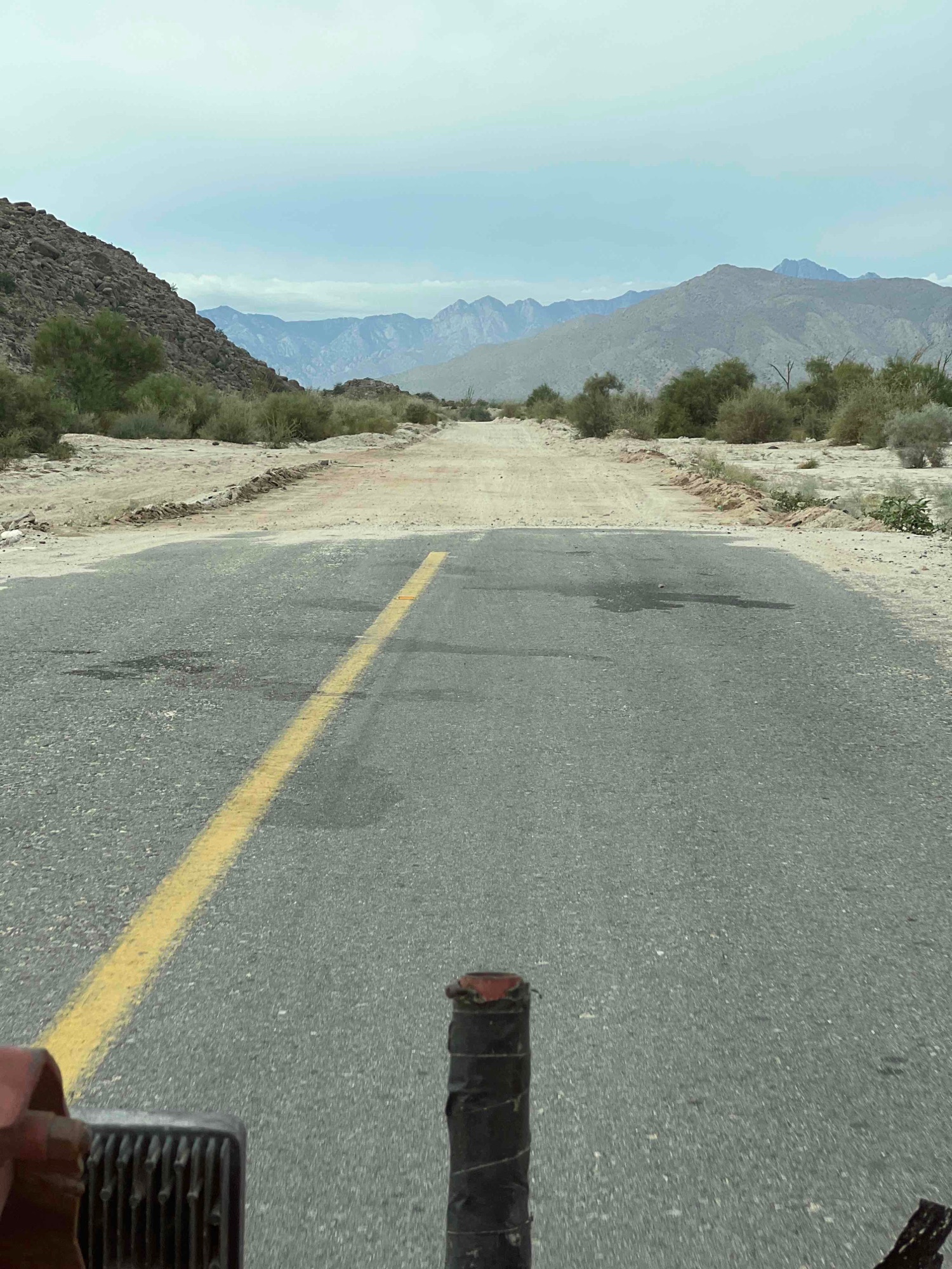
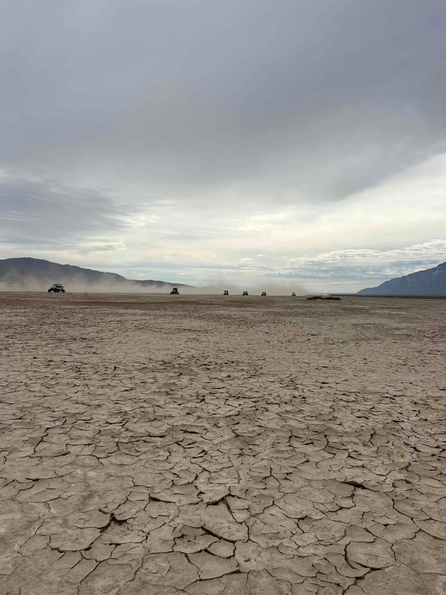
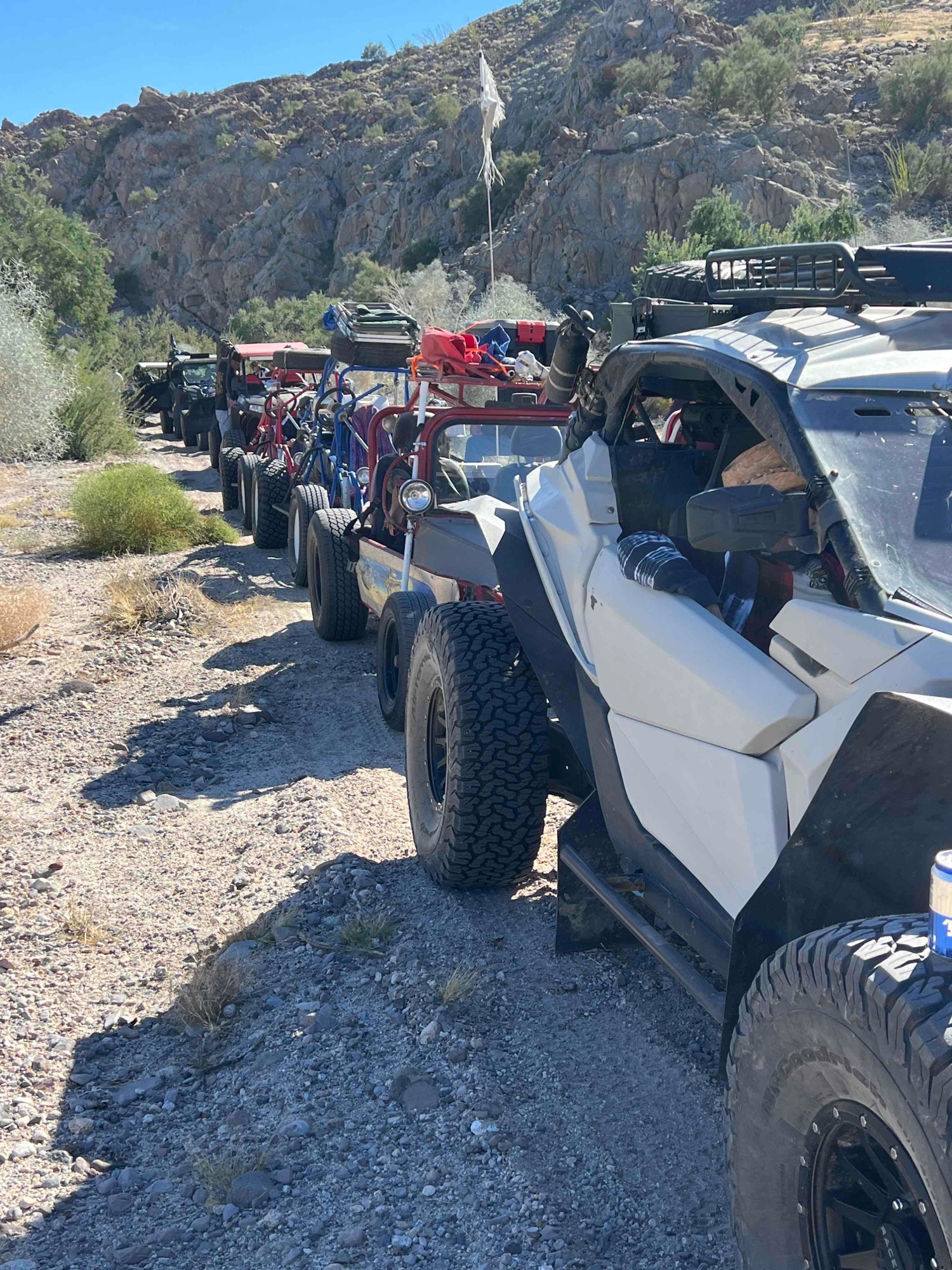
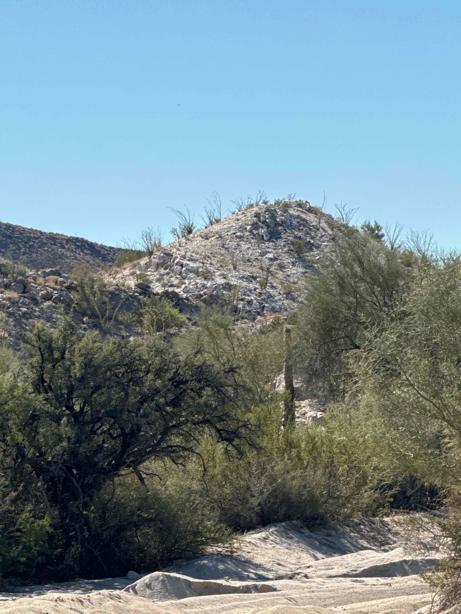
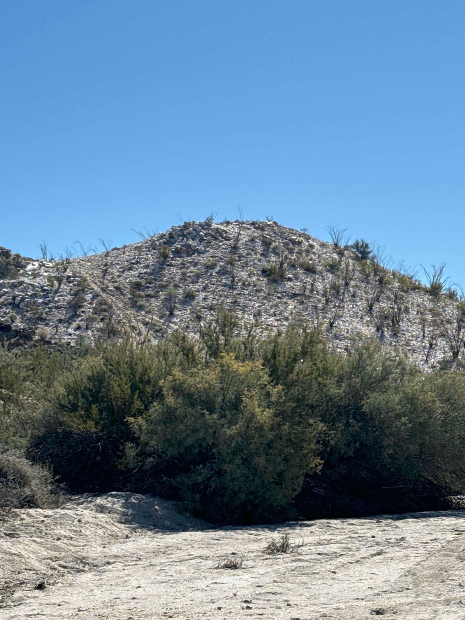
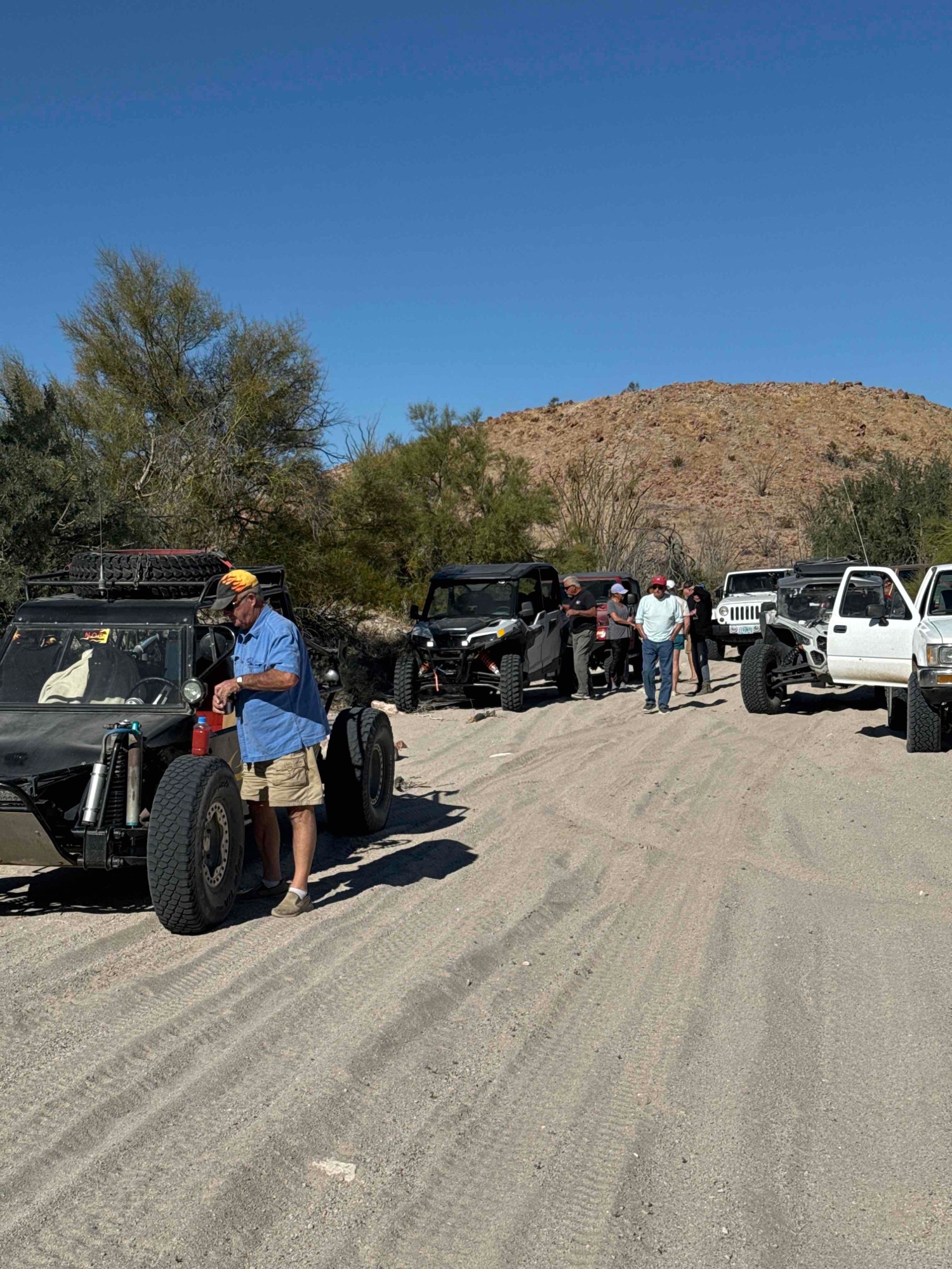
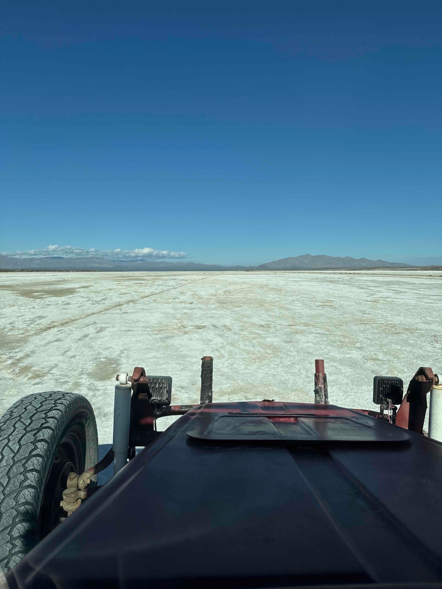
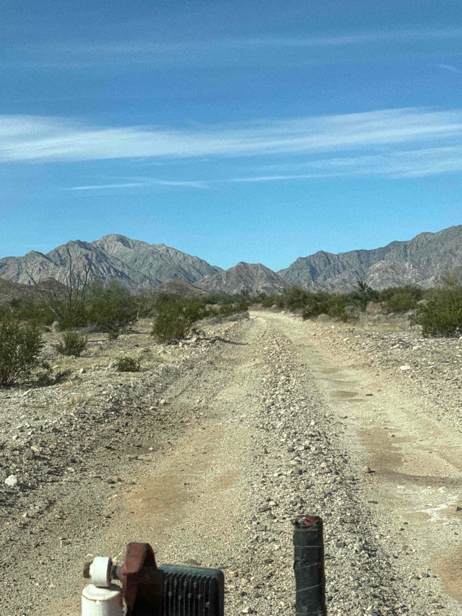
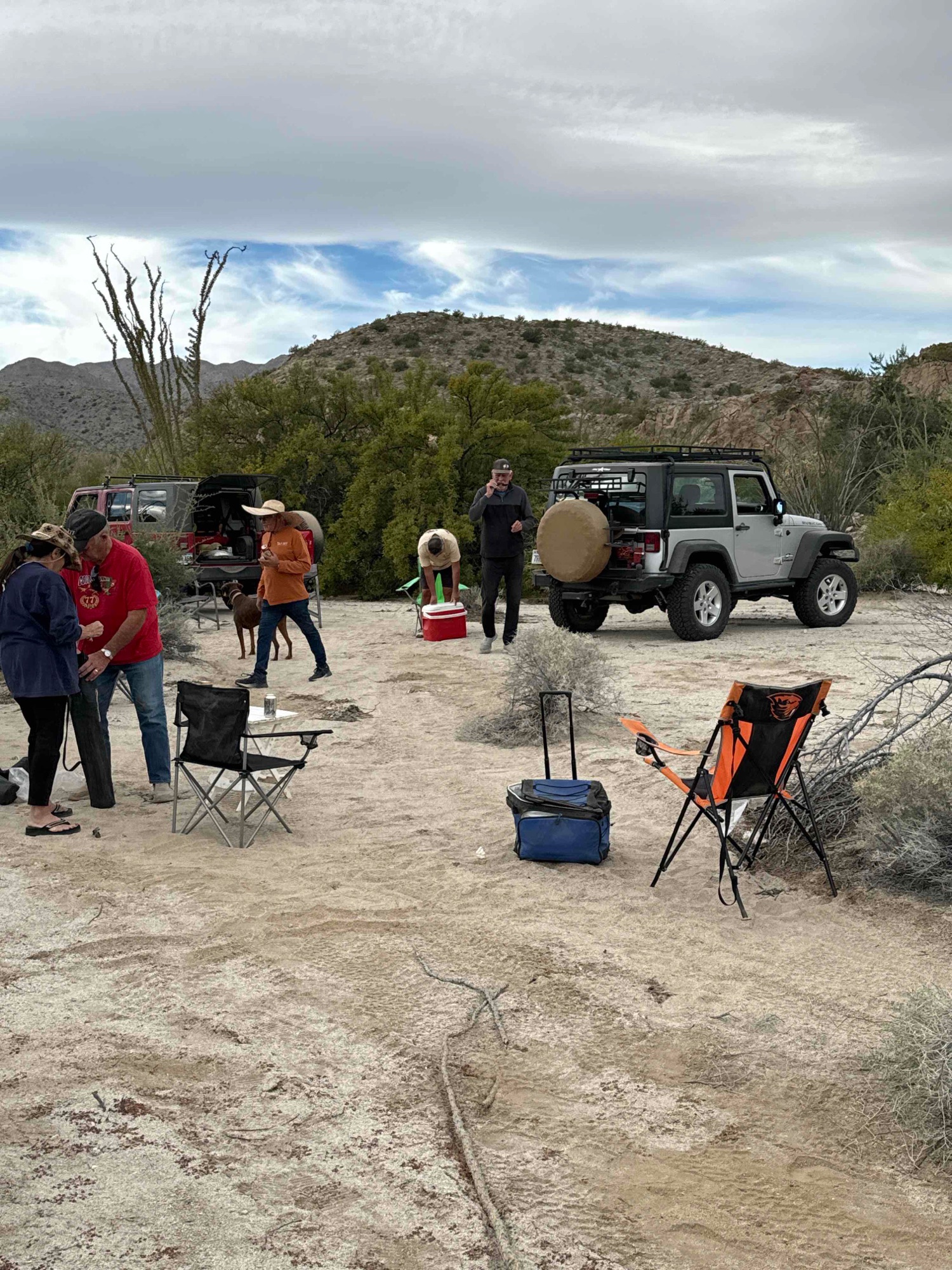
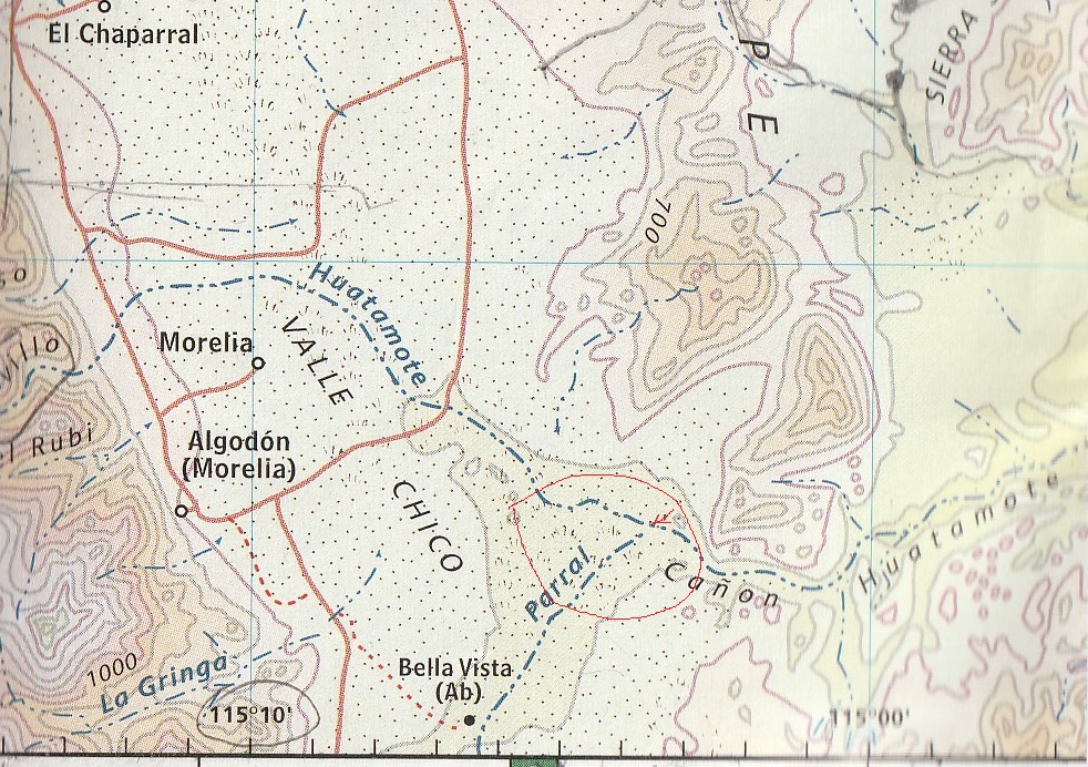
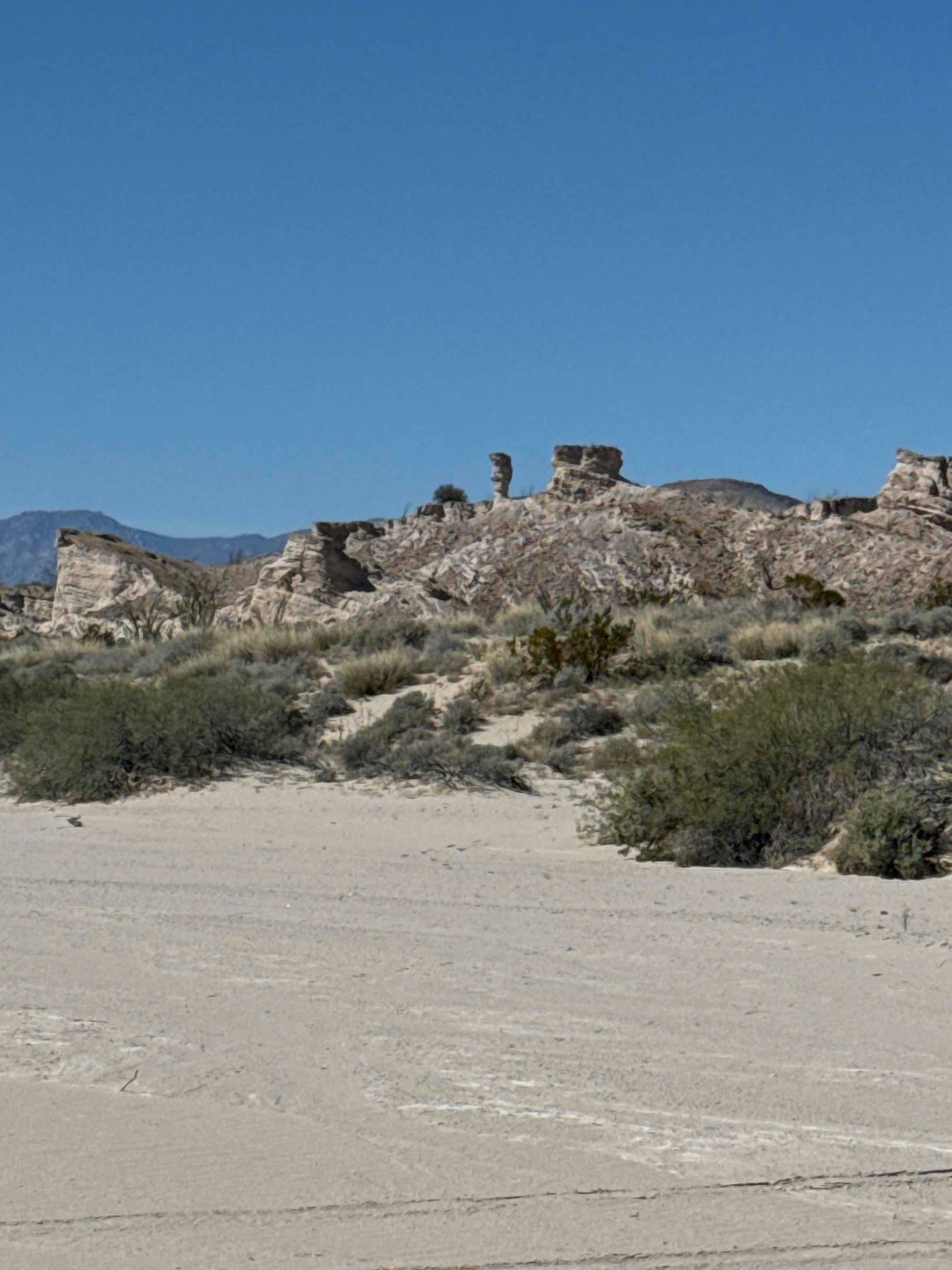
 Returning to San Felipe on the Old Puertecitos Road.

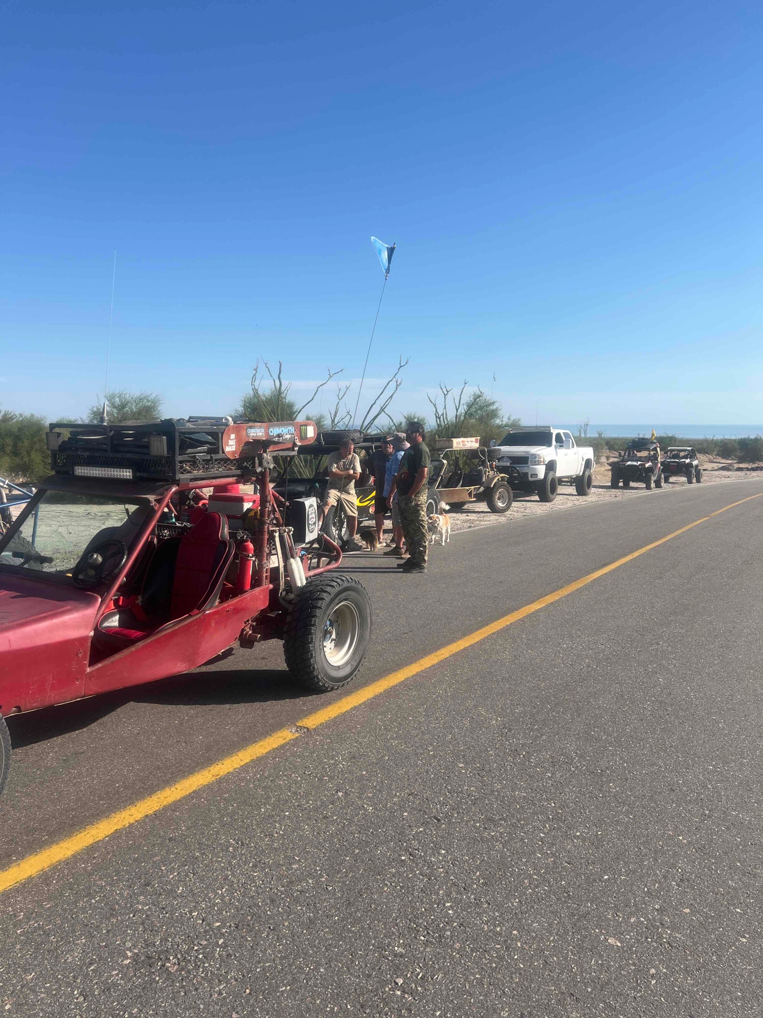
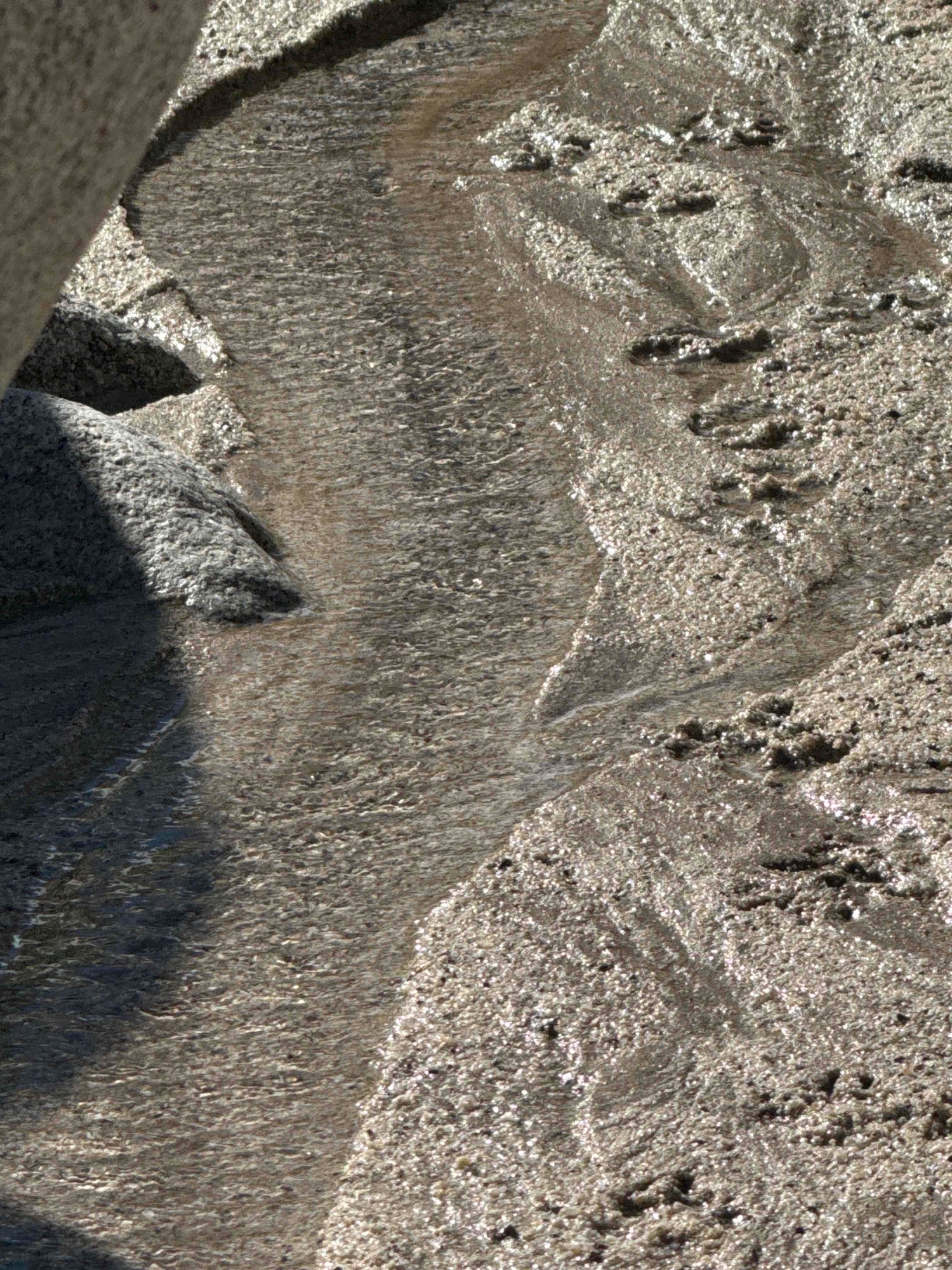
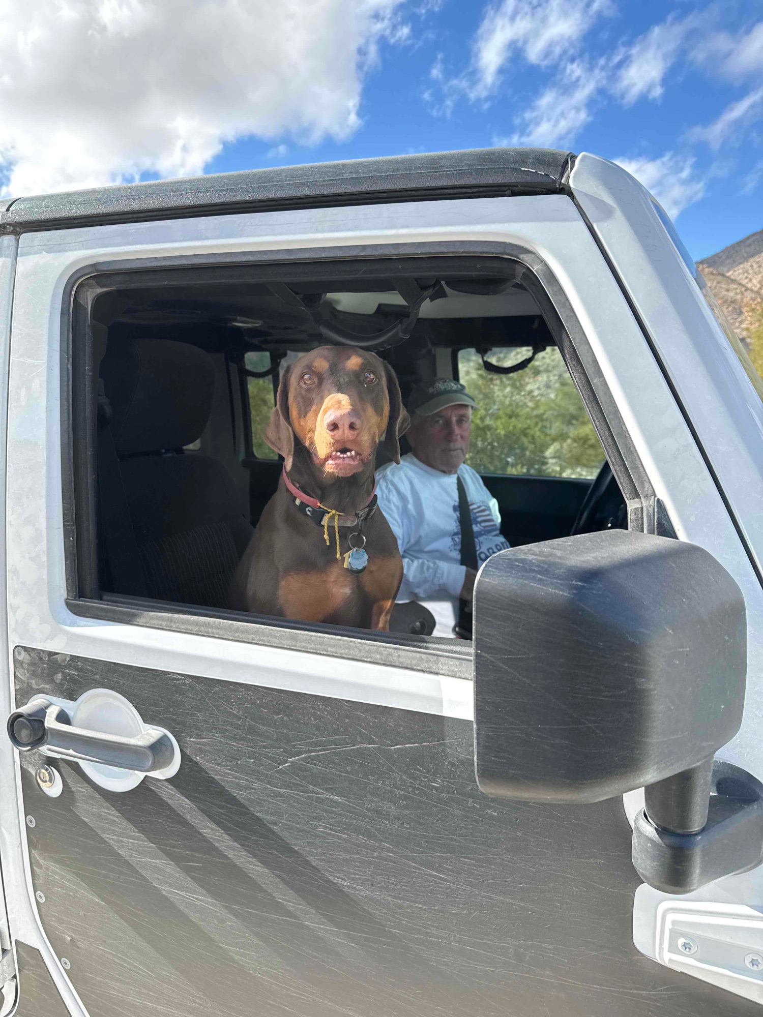
 (at least he WAS in
4WD)
(at least he WAS in
4WD)