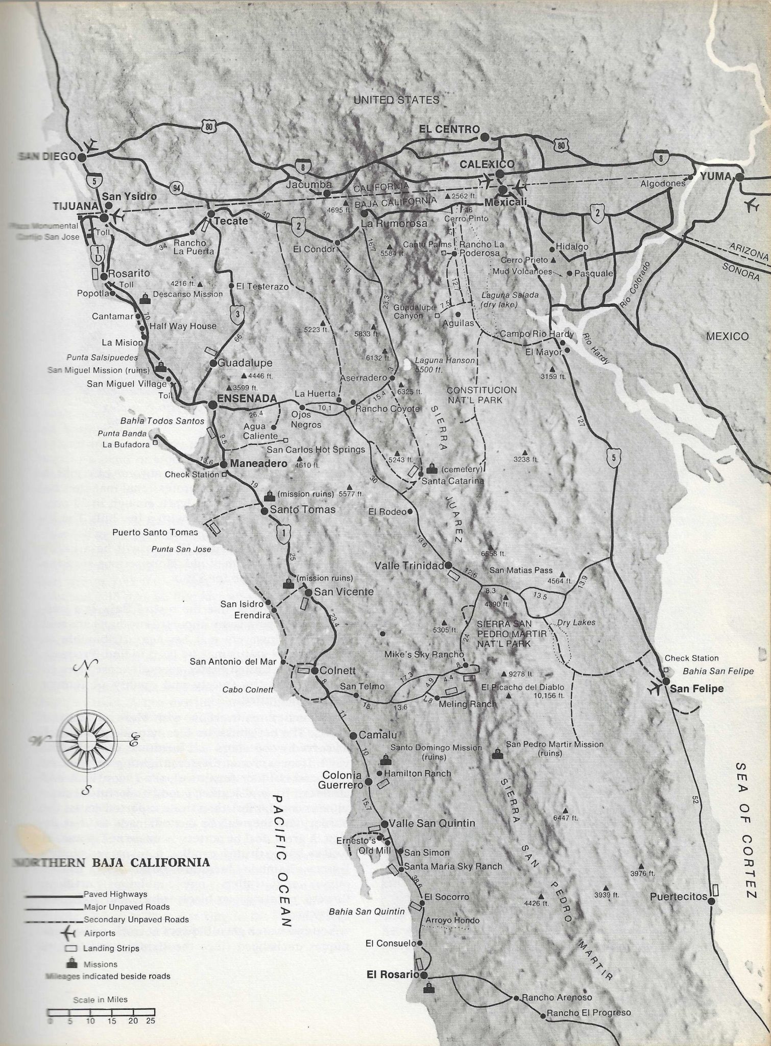
| Actually a pretty good map. The only thing that jumps out at me is on the bottom map of Northern Baja California they put "Constitucion Nat'l Park"
east of Laguna Hanson, out in the desert of the Laguna Salada. This error is present on other maps of the period and must have been passed along from
mapmaker to mapmaker though who copied who is subject to debate -- |