| Pages:
1
2 |
David K
Honored Nomad

Posts: 64490
Registered: 8-30-2002
Location: San Diego County
Member Is Offline
Mood: Have Baja Fever
|
|
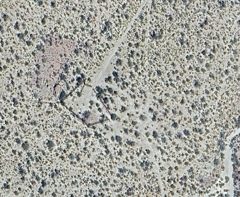
When we were there, the road and landing strip were one in the same, just a straight section of road that ended at or near the corral. Easily seen on
Google or other satellite imagery.
When we went on to explore Rancho Parral (the next morning) we drove through the corral's east side then the opening the south side.
It was only a short distance when the road (for us) ended at the deep arroyo (road washed out by previous flash flood). My note says 0.6 mi.
The group continued on foot... as I recall it was one-mile to the ranch site.
Have you seen the Parral photos from the 1934 Lost Mission Search album, linked on my website's Historic Images? https://vivabaja.com/historic-images/
Album description
In November 1934, Margaret Wood Bancroft (1893-1986) set out with a small group to find the legendary "Lost Mission of Santa Isabel" in Baja
California. The expedition traveled across desert and mountains for six weeks. The search was unsuccessful, but Bancroft documented the expedition in
a scrapbook with over 200 photographs and notes. This album presents a small selection of images from the scrapbook, which Bancroft assembled in
January 1936.
There was an adobe ranch house ruin back then plus the pointy granite peak, (seen in my photo):
https://www.flickr.com/photos/sdnhm-library/48992709783/in/a...
|
|
|
PaulW
Ultra Nomad
Posts: 3009
Registered: 5-21-2013
Member Is Offline
|
|
That straight road to the corral is what I used to get to the corral. It is in good shape. good enough for a small plane. Trees on the sides of that
road would inhibit a plane.
Did not see an exit from the corral to the south.
|
|
|
David K
Honored Nomad
Posts: 64490
Registered: 8-30-2002
Location: San Diego County
Member Is Offline
Mood: Have Baja Fever
|
|
Quote: Originally posted by PaulW  | That straight road to the corral is what I used to get to the corral. It is in good shape. good enough for a small plane. Trees on the sides of that
road would inhibit a plane.
Did not see an exit from the corral to the south. |
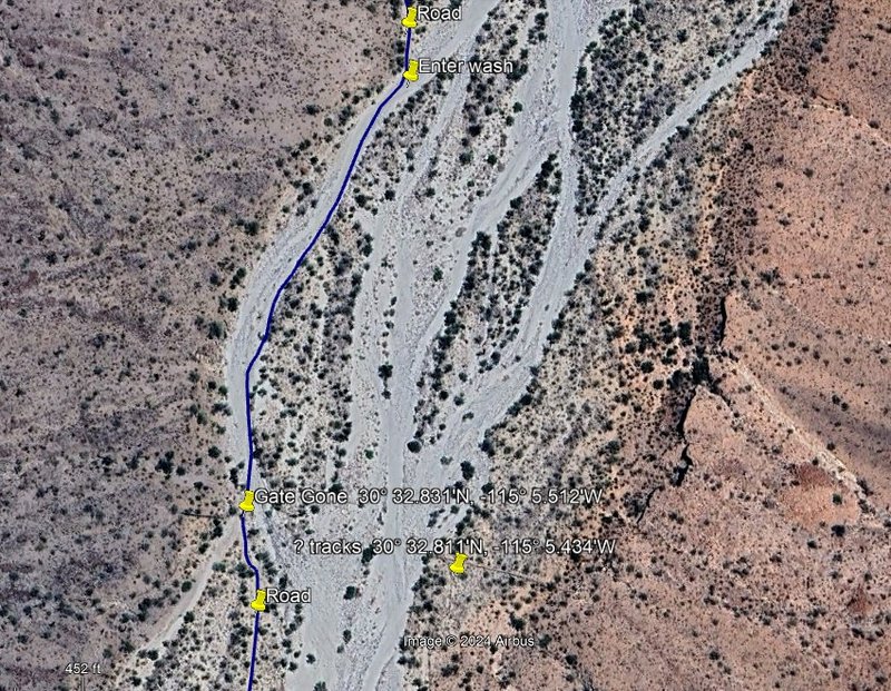
Look at Google Earth (north at top):
|
|
|
4x4abc
Ultra Nomad
Posts: 4165
Registered: 4-24-2009
Location: La Paz, BCS
Member Is Offline
Mood: happy - always
|
|
to "drive" to El Parral you have to take the old original road
starts here: 30°30'57.16"N, 115° 6'17.56"W
bring bush clippers and a shovel
the Arroyo crossing 30°30'38.40"N, 115° 6'22.42"W will require some skills and muscle for relocating rocks
would love to do that one day!
Harald Pietschmann
|
|
|
PaulW
Ultra Nomad
Posts: 3009
Registered: 5-21-2013
Member Is Offline
|
|
Parral latest trip Details
At the beginning of 4x4 entering the wash. The approach road was OK
Leaving the wash at the destroyed gate.
The road was ok after the gate area
Notice the straight lines that were not investigated east of the old gate
To get to the wash east of the gate area would be a challenge due to debris and large rocks. Then one would be confronted with another tall bank?
 fotos gratis internet fotos gratis internet
Moving west going from wash to wash.
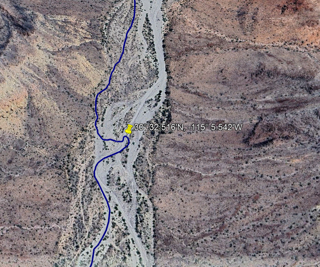
Last trip tracks at the difficult crossing.
Shows a little amount of uncertainty and investigation of possible wash crossings.
I could not get up the wash bank on the recent trip
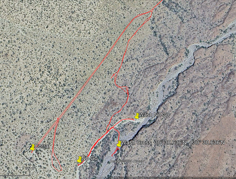
After the crossing the wash the road is good recently all the way to the ranch because the road is on high ground.
|
|
|
| Pages:
1
2 |


