David K
Honored Nomad

Posts: 64479
Registered: 8-30-2002
Location: San Diego County
Member Is Offline
Mood: Have Baja Fever
|
|
ECR-3a) EL CAMINO REAL from space: Santa Gertrudis to San Ignacio (Pacifico route)
See the old Jesuit road with Google Earth... I have 16 images and two maps showing where the images show.
The Camino Real (King's Highway) in Baja California was any road built between the missions that served to transport people and supplies by foot or
mule & burro.
Between Santa Gertrudis and San Ignacio are three routes of the Camino Real: Sierra (central branch), Golfo (east branch), and Pacifico (west branch).
To see the Sierra branch (ECR-3b) travelled by Serra and Crosby, go to: http://forums.bajanomad.com/viewthread.php?tid=37047
Various rancherias (Indian villages), visitas (mission visiting stations or sub-missions), and water sources were connected with the Camino Real. The
branch chosen to reach the next mission may have depended on time of year and water availability.
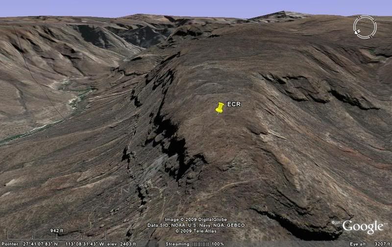
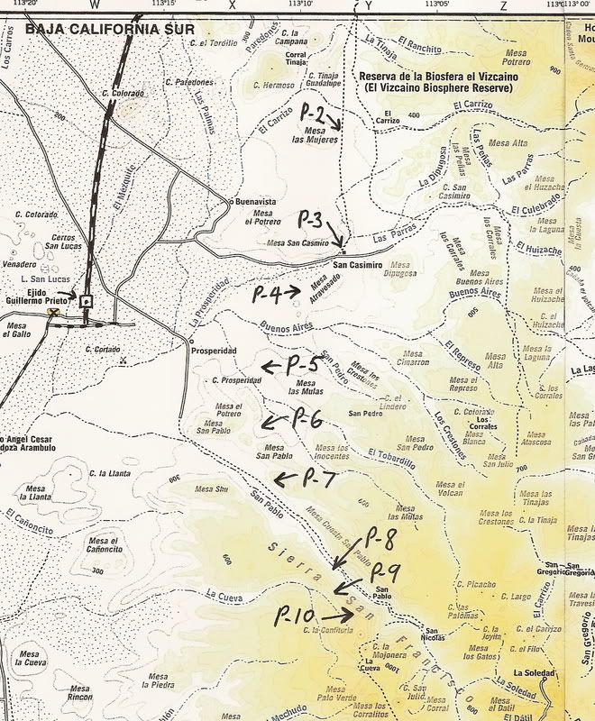
I have found and illustrated here the west or 'Pacifico' branch of the Camino Real... Photos P-1 to P-15 facing southbound, or heading towards San
Ignacio
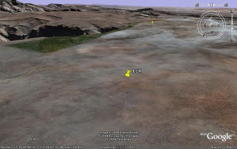
P-1
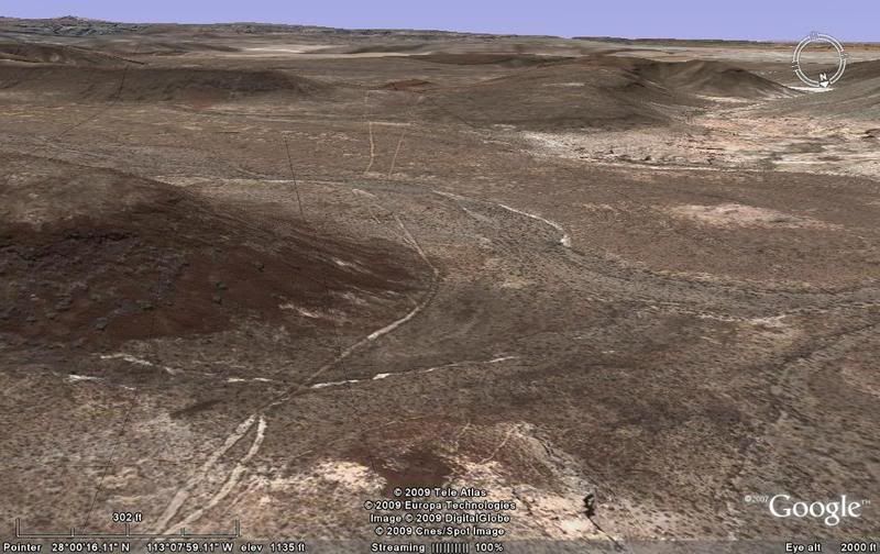
P-2
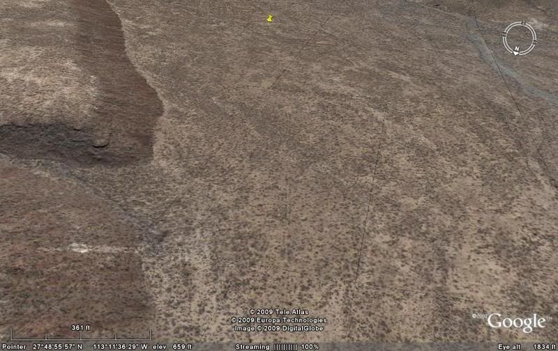
P-3 San Casimiro
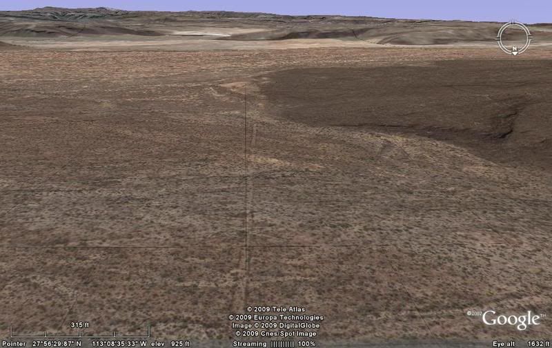
P-4
P-5
P-6
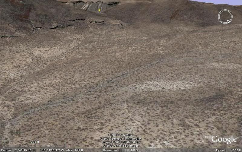
P-7
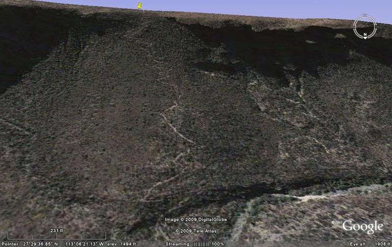
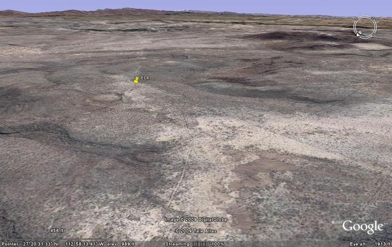
P-8 Visita de San Pablo
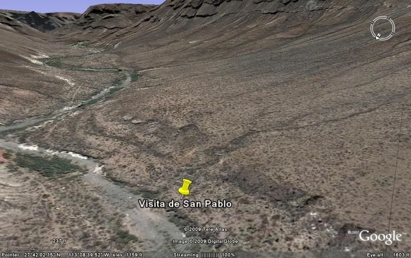
Past the visita, the Camino Real climbs steeply out of Cañon San Pablo and into the Sierra San Francisco.
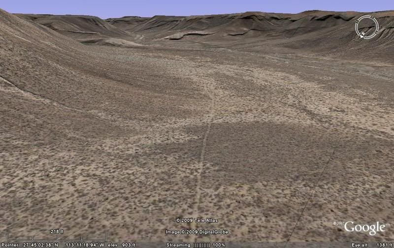
P-9
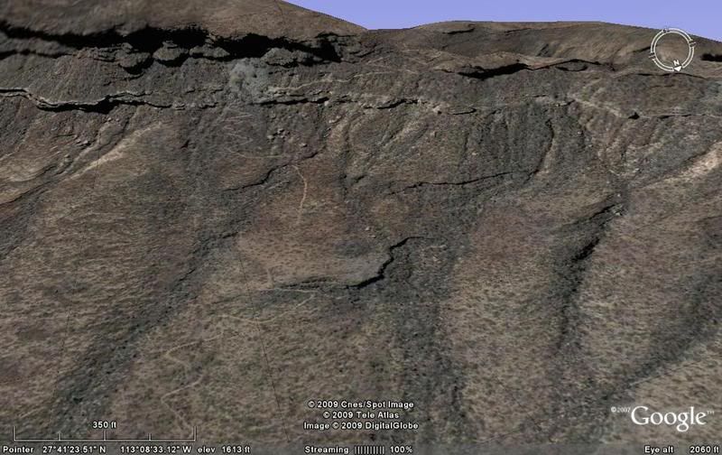
P-9a another angle on the climb and top of the canyon wall.
P-10
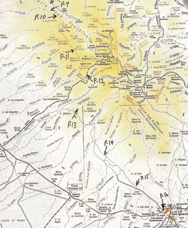
MAP (P-1 is just off the top of the map edge, and Santa Gertrudis is about 4 miles off the top of the map):
CONTINUED...
[Edited on 2-25-2009 by David K]
|
|
|
David K
Honored Nomad
Posts: 64479
Registered: 8-30-2002
Location: San Diego County
Member Is Offline
Mood: Have Baja Fever
|
|
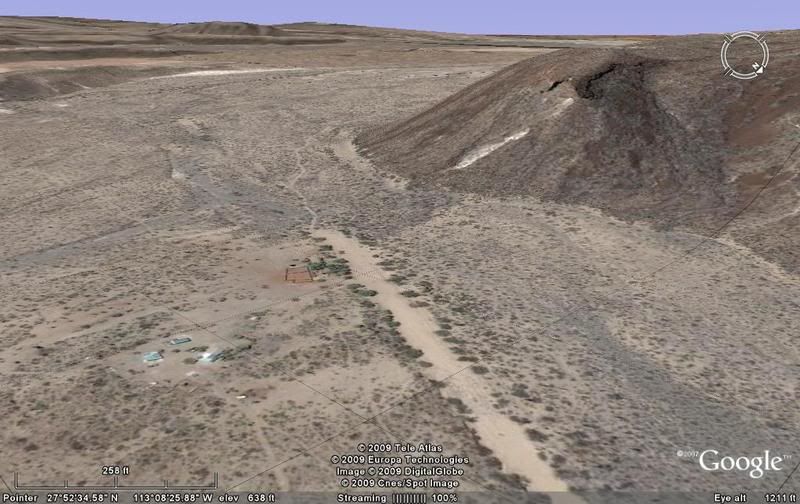
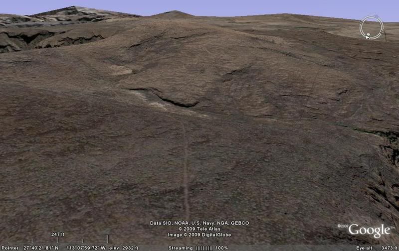
P-11
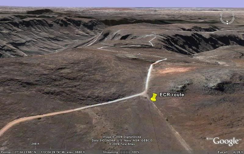
P-12 The Pacifico Camino Real route joins with the graded road to San Francisco de la Sierra here and braches off in about 3 miles, dropping into Las
Calabazas canyon.
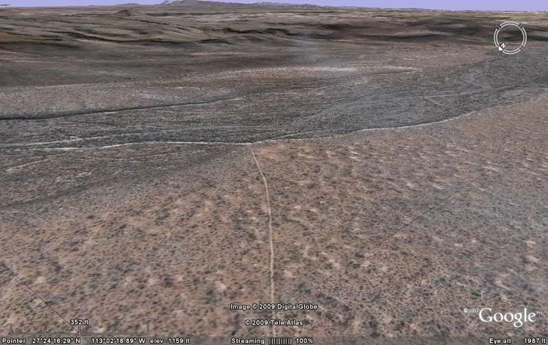
P-13 A steep climb out of San Esteban canyon.
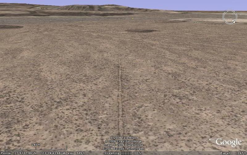
P-14
P-15
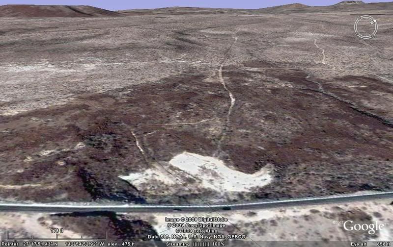
P-16 This image is facing northbound, as the Camino Real climbs away from San Ignacio. Highway One is at the bottom.
MAP:
====================================================
The previous section ECR-2a (San Borja to Santa Gertrudis, Sierra route) is here: http://forums.bajanomad.com/viewthread.php?tid=36002
The central or 'Sierra' branch south of Santa Gertrudis (ECR-3b) is here:
http://forums.bajanomad.com/viewthread.php?tid=37047
San Ignacio south to Guadalupe (ECR-4) is here: http://forums.bajanomad.com/viewthread.php?tid=36976
[Edited on 2-25-2009 by David K]
|
|
|
avid
Junior Nomad
Posts: 41
Registered: 7-10-2008
Location: SW Oregon
Member Is Offline
Mood: adventurous
|
|
David,
You are on fire! Great investigation and Google Earth does rock.
avid
Ashland, OR
|
|
|
David K
Honored Nomad
Posts: 64479
Registered: 8-30-2002
Location: San Diego County
Member Is Offline
Mood: Have Baja Fever
|
|
Avid, I love this stuff... Baja is crawling with history and mysteries from the past!
I highly recommend folks get Choral Pepper's book or read the chapters I have posted on the Baja Nomad Historic Interests and Literature forum... I
have posted lots of other stuff in that forum that may interest you, as well!
Thank you!
|
|
|
|


