David K
Honored Nomad

Posts: 65562
Registered: 8-30-2002
Location: San Diego County
Member Is Offline
Mood: Have Baja Fever
|
|
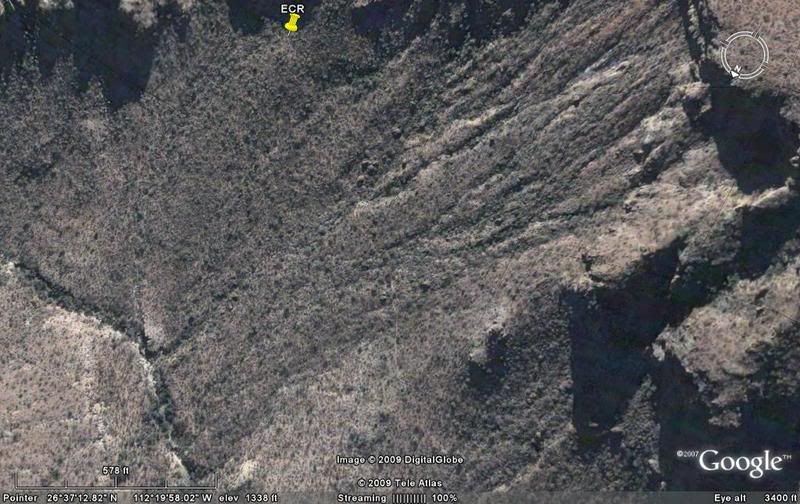
ECR-5) EL CAMINO REAL (from space): Guadalupe to La Purisima to Comondu
Continuing south to the start of the California mission trail, The mission at Guadalupe to La Purisima and on to Mision San Jose de Comondu.
Previous section (ECR-4): http://forums.bajanomad.com/viewthread.php?tid=36976
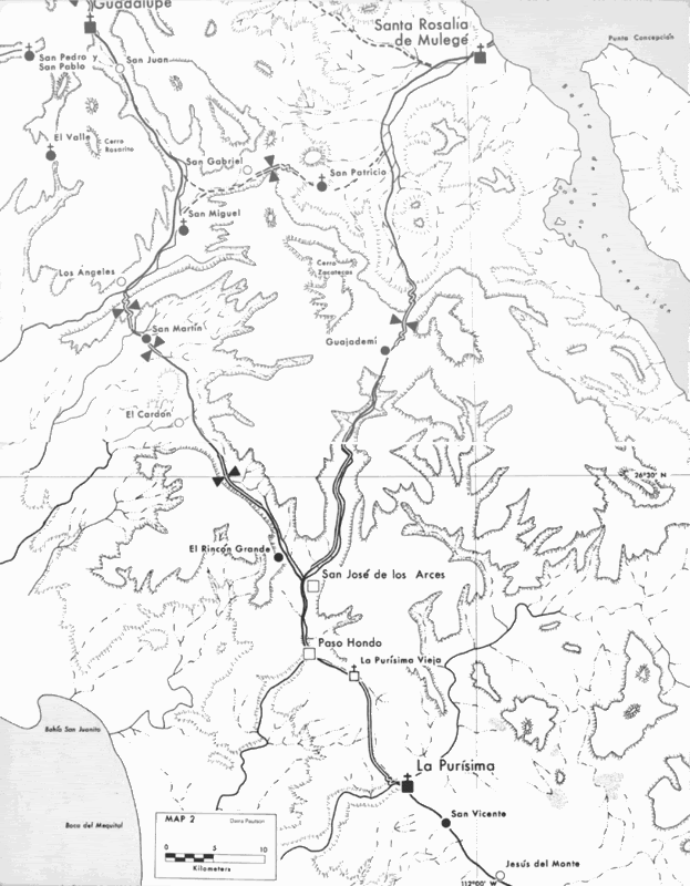
Here is Harry Crosby's 1977 map of most of this section. (single line is route location, double lines is where the original road was seen, dashed
lines are alternate ECR routes):
Here is the topo map with the route highlighted and photo locations pointed out (GP-1 to GP-13 and C-1 to C-9).
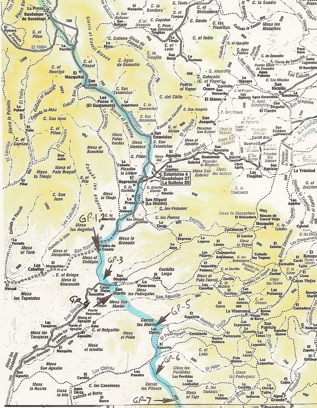
The long stretches without photos are where modern road building and ranching have erased the old Jesuit trail from seeing easily from space:
Guadalupe to San Miguel area and Agua Verde to Purisima Vieja.
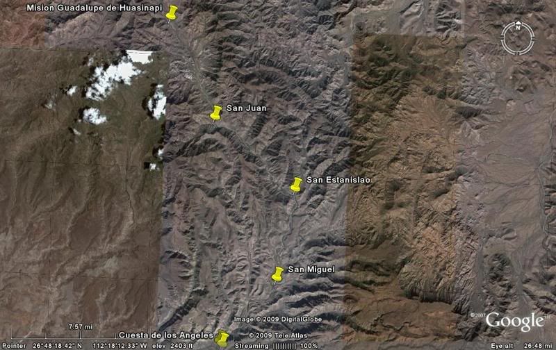
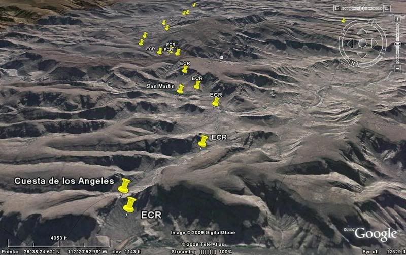
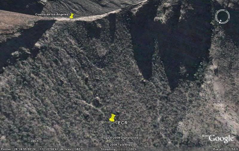
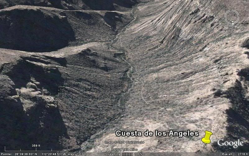
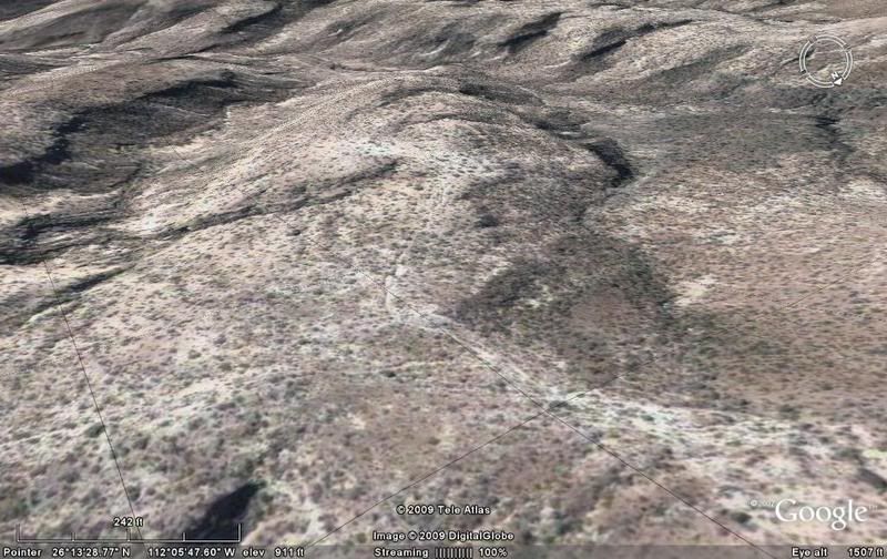
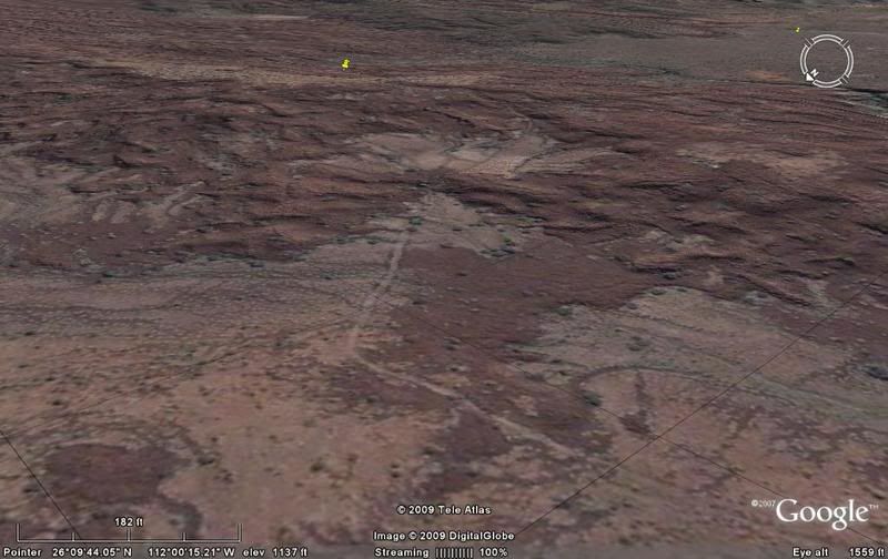
Here is a high look at the region from Guadalupe to the Los Angeles grade (cuesta), southwest of San Miguel:
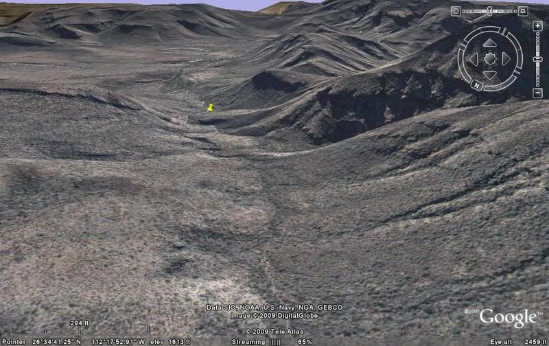
Here is a look southbound from the Cuesta Los Angeles towards La Purisima:
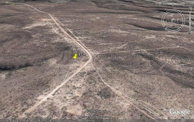
GP-1)
GP-2)
GP-3)
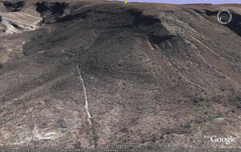
GP-4) Cuesta above San Martin
GP-5)
GP-6)
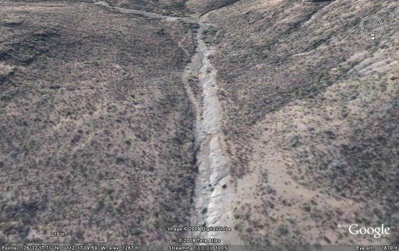
GP-7)
Now, another long section of modern roads covering the mission trail to Purisima Vieja, the first location of the Purisima mission...
continued...
[Edited on 2-25-2009 by David K]
|
|
|
David K
Honored Nomad
Posts: 65562
Registered: 8-30-2002
Location: San Diego County
Member Is Offline
Mood: Have Baja Fever
|
|
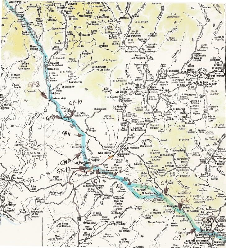
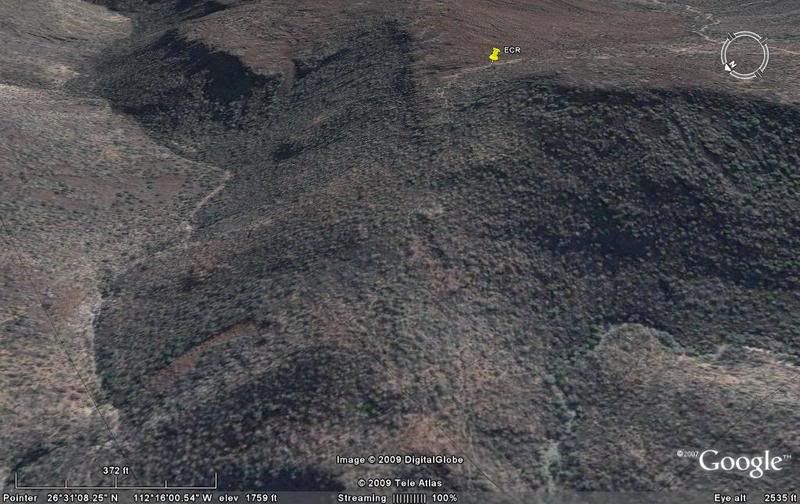
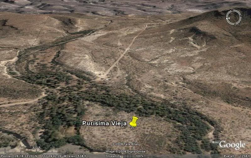
GP-8) Purisima Vieja
GP-9)
GP-10)
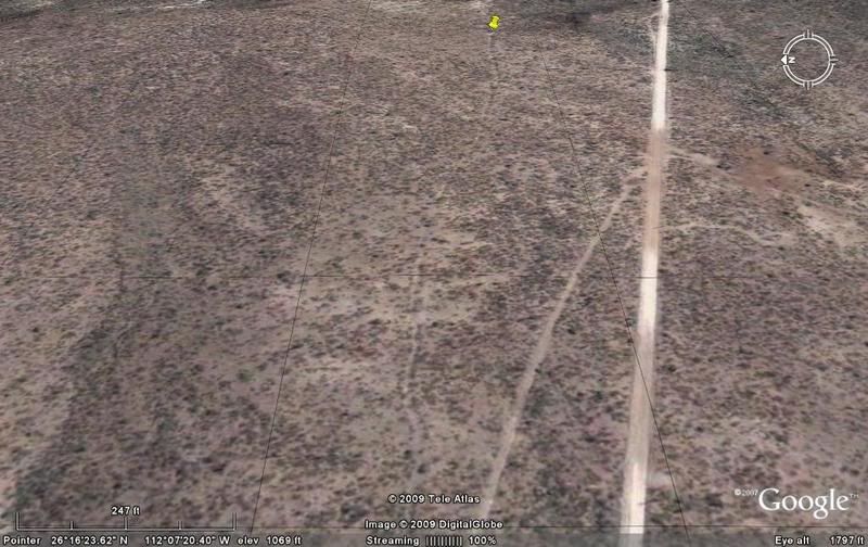
GP-11)
GP-12)
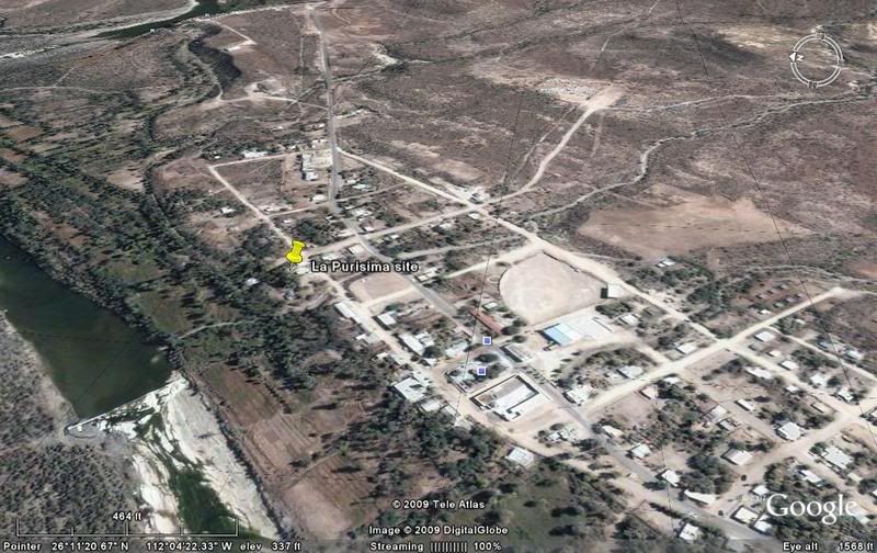
GP-13) La Purisima
Now on to Comondu!
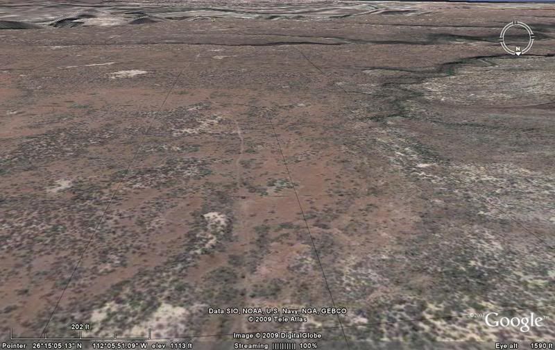
C-1)
C-2)
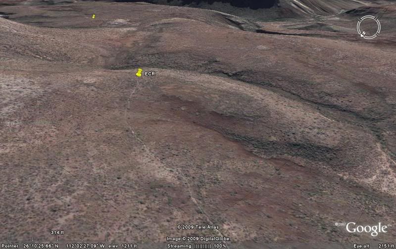
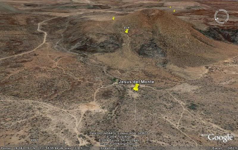
C-3) A mile from San Vicente oasis, the Camino Real splits, one route goes to the east side of Cerro Tezontle volcano and one goes to the west. The
two come back together at the visita and water hole of Jesus del Monte.
C-4) Jesus del Monte, volcano, water hole, visita ruins
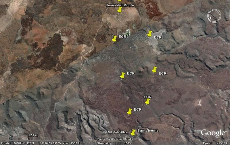
C-5) High view showing both trails between San Vicente and Jesus del Monte
C-6) Cerro Pabellon volcano
C-7) 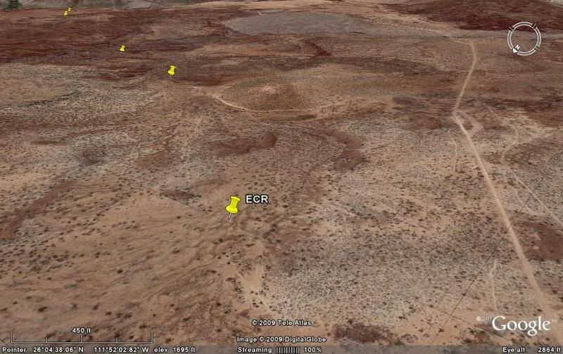
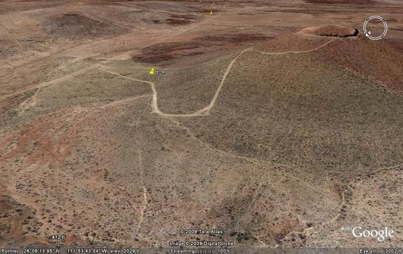
C-8) Dropping down to Comondu
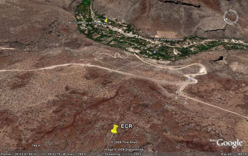
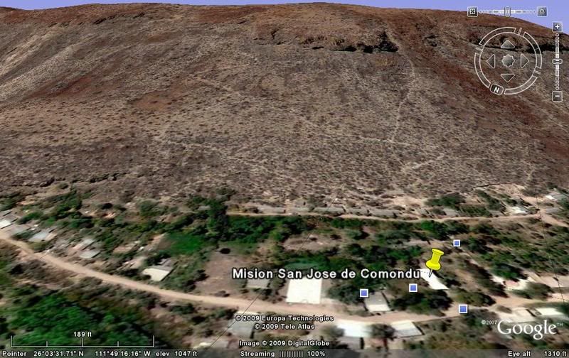
C-9) San Jose de Comondu, and behind is the Camino Real switchbacks up and on to San Javier and Loreto... stay tuned!
TO BE CONTINUED... on to SAN JAVIER & LORETO, stay tuned!
[Edited on 2-25-2009 by David K]
|
|
|
David K
Honored Nomad
Posts: 65562
Registered: 8-30-2002
Location: San Diego County
Member Is Offline
Mood: Have Baja Fever
|
|
The process I use to find the Camino Real on Google Earth begins with knowing where to look.
Howard Gulick in the early 1950's was the first to document the trail's location with some detail based on the writings of the mission padres and
others who walked or rode the trail in the 1700's & 1800's.
Harry Crosby wrote the excellent 'King's Highway in Baja California' after riding the Camino Real north from Loreto on muleback. Harry used Howard
Gulick's notes and maps.
New maps of the route are in the 1974 book. In 1977, more detailed maps were published based on Harry's findings and are in the Winter 1977 edition of
'The Journal of San Diego History'.
With the route known along with the direction the trail ran and the water holes and missions that were connected by it, then I simply 'flew over' the
region on Google and placed the marker pins on various places I found the trail that agreed with Harry and Howard's research and writings.
In many places the Jesuit built road really stands out as a marvel of 18th Century construction, and there is no doubt it is the 'El Camino Real'. In
populated areas, automobile roads have been built over the top of the ancient trail and obliterated the original mission work.
In this and the other parts of this series of articles, I gave several samples of Google Earth views of the trail. However, there is so much more you
can see... and my hope is you will do a fly-over on your PC, with the information on the route provided.
A final section remains, to get us to Loreto from San Jose Comondu... stay tuned!
[Edited on 2-26-2009 by David K]
|
|
|
David K
Honored Nomad
Posts: 65562
Registered: 8-30-2002
Location: San Diego County
Member Is Offline
Mood: Have Baja Fever
|
|
The final section (Comondu to Loreto) ECR-6, is posted: http://forums.bajanomad.com/viewthread.php?tid=37281
|
|
|
|


