David K
Honored Nomad

Posts: 64488
Registered: 8-30-2002
Location: San Diego County
Member Is Online
Mood: Have Baja Fever
|
|
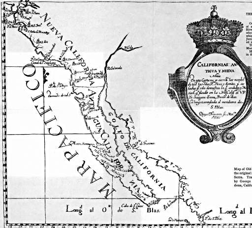
1787 Map of the two Californias
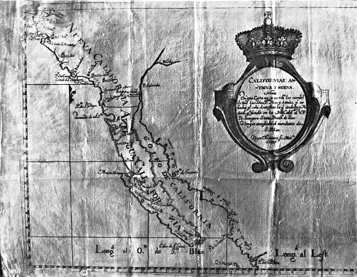
Nueva California and Antigua California (New and Old California, but later would be officially Upper 'Alta' and Lower 'Baja' California).
The two Californias were one political province until 1804.
[Edited on 9-14-2014 by David K]
|
|
|
David K
Honored Nomad
Posts: 64488
Registered: 8-30-2002
Location: San Diego County
Member Is Online
Mood: Have Baja Fever
|
|
Any old style Spanish people have an idea why the n's in Antigua California are reversed?
|
|
|
bkbend
Senior Nomad
Posts: 693
Registered: 11-27-2003
Location: central OR or central baja
Member Is Offline
|
|
They knew the antigua was going to remain a backwards territory for a long time while the nuevo portion would move forward.
|
|
|
El Vergel
Nomad
Posts: 197
Registered: 8-27-2003
Location: San Felipe - Puertecitos Rd., Km. 35 and Santa Mon
Member Is Offline
|
|
Wow, what a beautiful map!
|
|
|
mexicali-kid
Junior Nomad
Posts: 44
Registered: 4-28-2014
Member Is Offline
|
|
Great map. From Palou's book on Padre Serra correct?
I think the map maker engraved the mirror image of the letters for the printing plate but when he got to the N he had a little too much California
Vino.
Thank you for sharing this thought provoking map.
|
|
|
Udo
Elite Nomad
Posts: 6323
Registered: 4-26-2008
Location: Black Hills, SD/Ensenada/San Felipe
Member Is Offline
Mood: TEQUILA!
|
|
Great find, DK...Thanks for sharing!
Udo
Youth is wasted on the young!
|
|
|
David K
Honored Nomad
Posts: 64488
Registered: 8-30-2002
Location: San Diego County
Member Is Online
Mood: Have Baja Fever
|
|
| Quote: | Originally posted by mexicali-kid
Great map. From Palou's book on Padre Serra correct?
I think the map maker engraved the mirror image of the letters for the printing plate but when he got to the N he had a little too much California
Vino.
Thank you for sharing this thought provoking map. |
Exactly!
"Map of Old and New California from the original in Palou's Life of Junipero Serra." (1787)
[Edited on 9-29-2014 by David K]
|
|
|
David K
Honored Nomad
Posts: 64488
Registered: 8-30-2002
Location: San Diego County
Member Is Online
Mood: Have Baja Fever
|
|
This 1787 map came up in a conversation I was having... It is the first map to show two Californias. The line between them was not political, it was
just a way to show territory division between the Franciscans in the New (Nueva) California and Dominicans in the Old (Antigua) California. That
division was made in 1773 at Medano Valley (near Puerto Nuevo). It was moved north to Arroyo del Rosarito in 1788 where it remained until 1848 when it
was moved north again to where it is now.
California was still one political province with one governor, until 1804.
|
|
|


