| Pages:
1
..
4
5
6
7
8
9 |
David K
Honored Nomad

Posts: 64480
Registered: 8-30-2002
Location: San Diego County
Member Is Offline
Mood: Have Baja Fever
|
|
TUESDAY
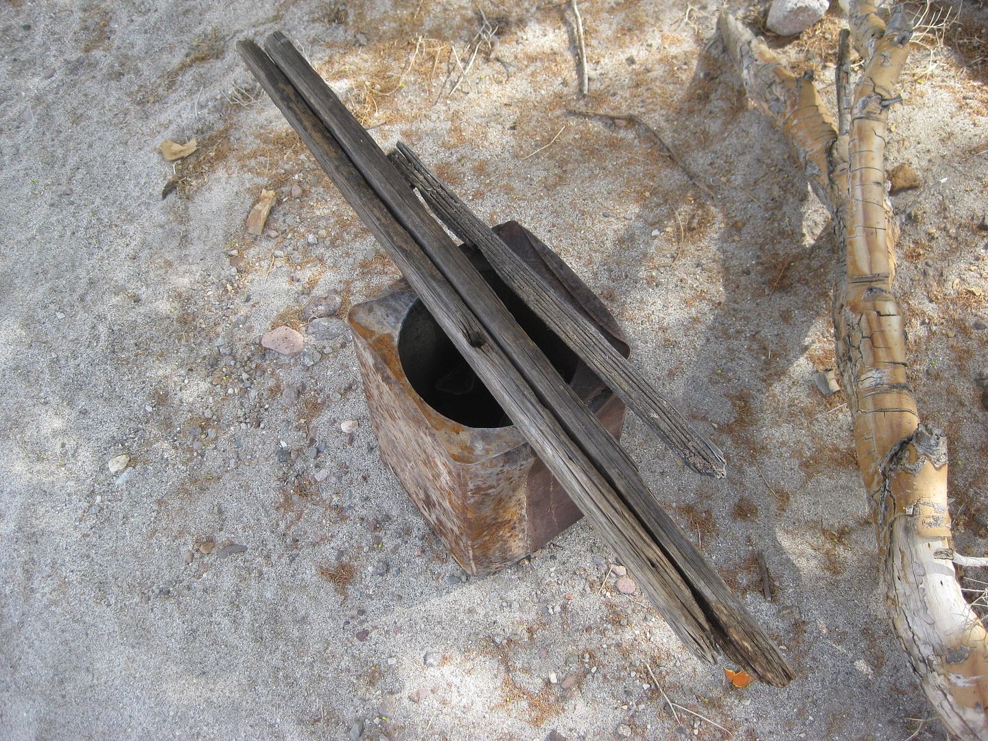
Harald shows me some stuff he found along the Pole Line Road and gave me two insulators, including the one with wires attached I photographed in the
Pole Line Road thread.
Karl is packing up.
Harald is packing up.
Looking south, up Arroyo Grande
Auf wiedersehen amigos!
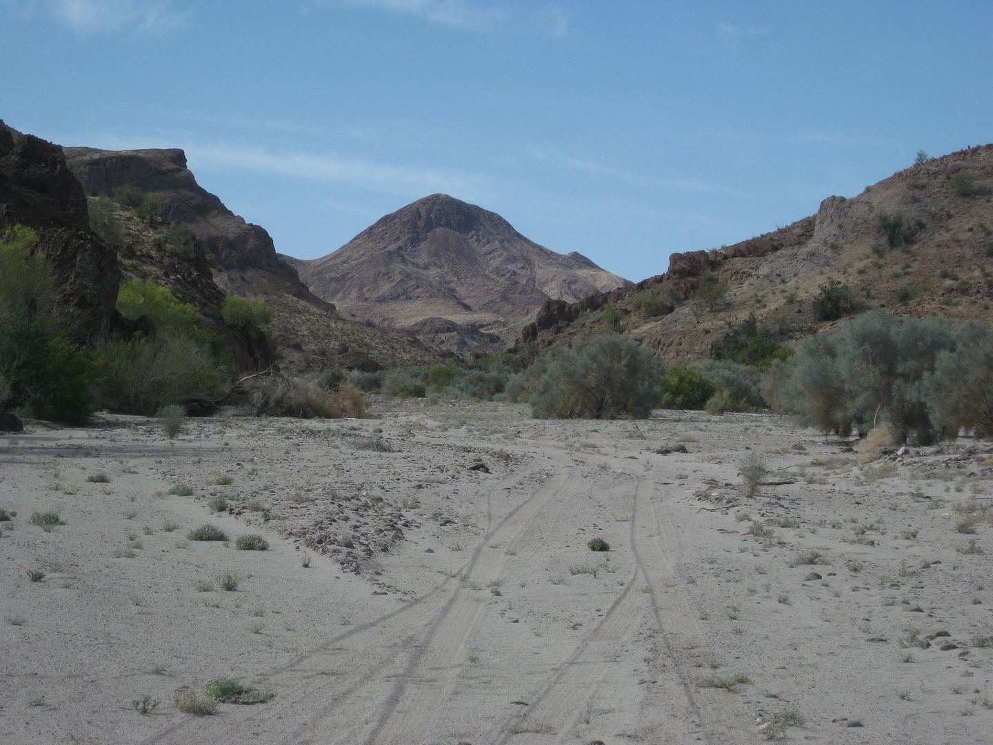
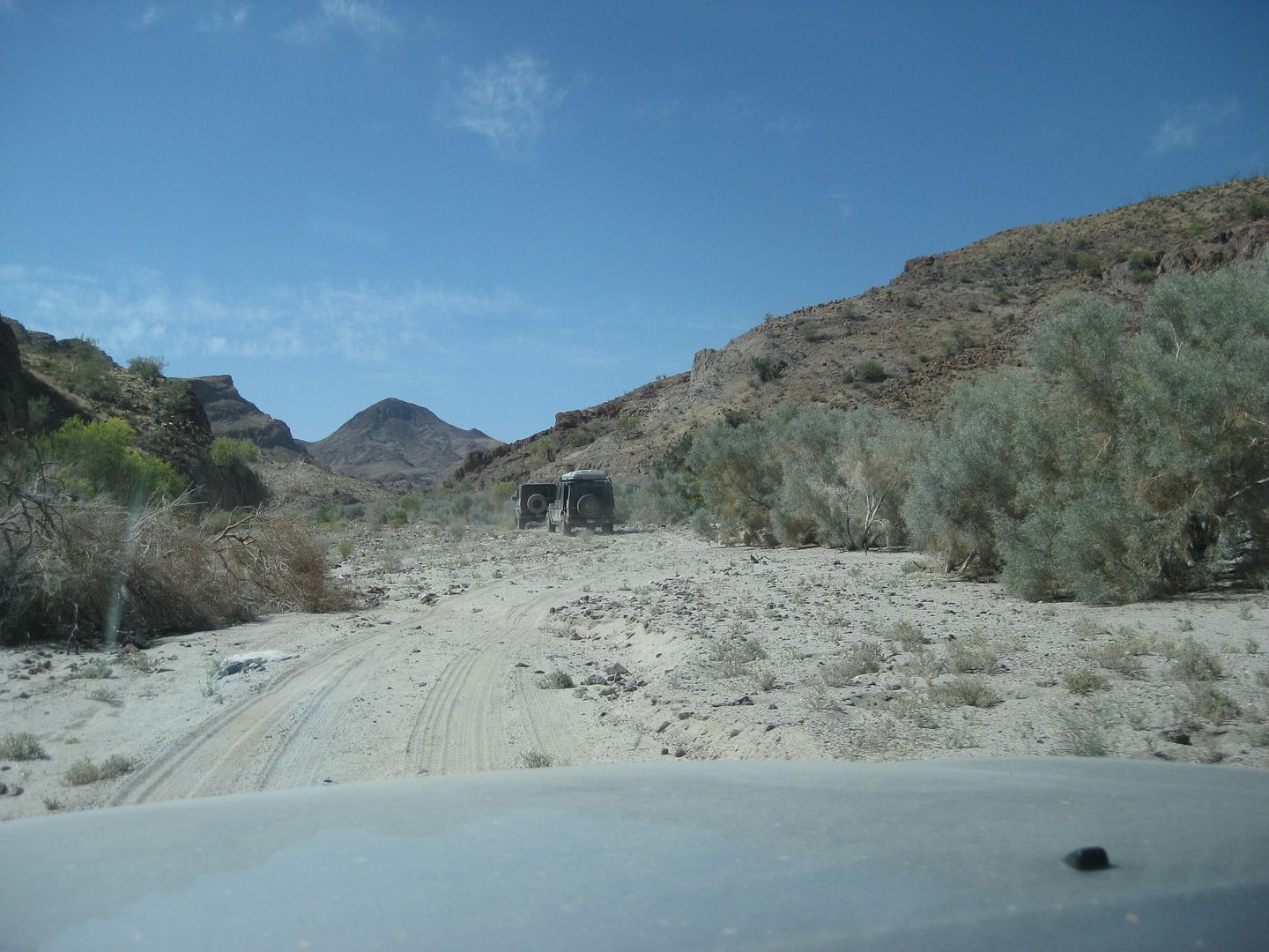
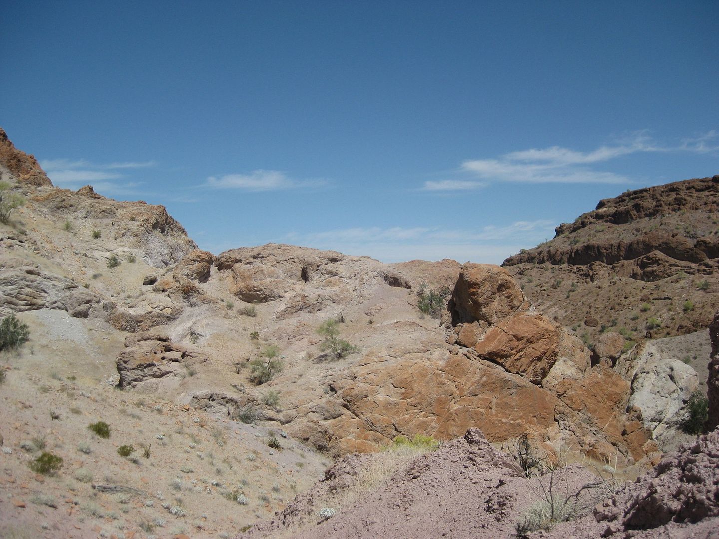
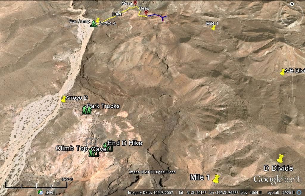
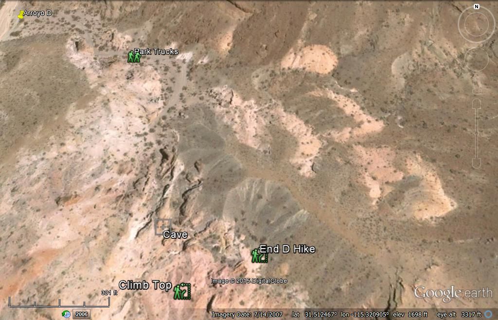
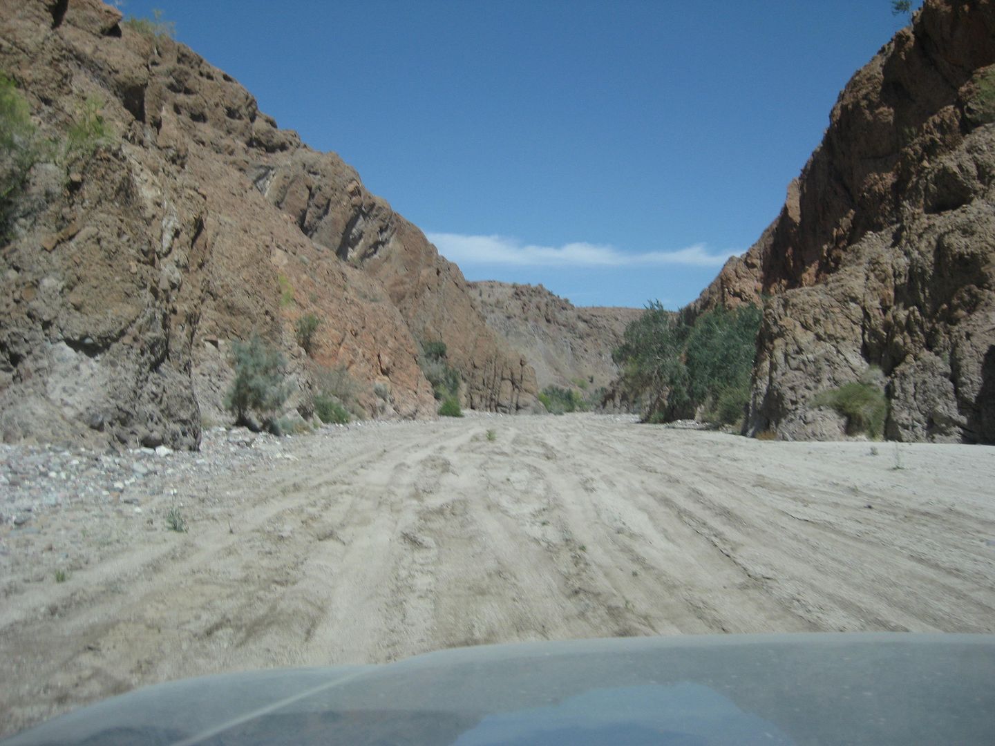
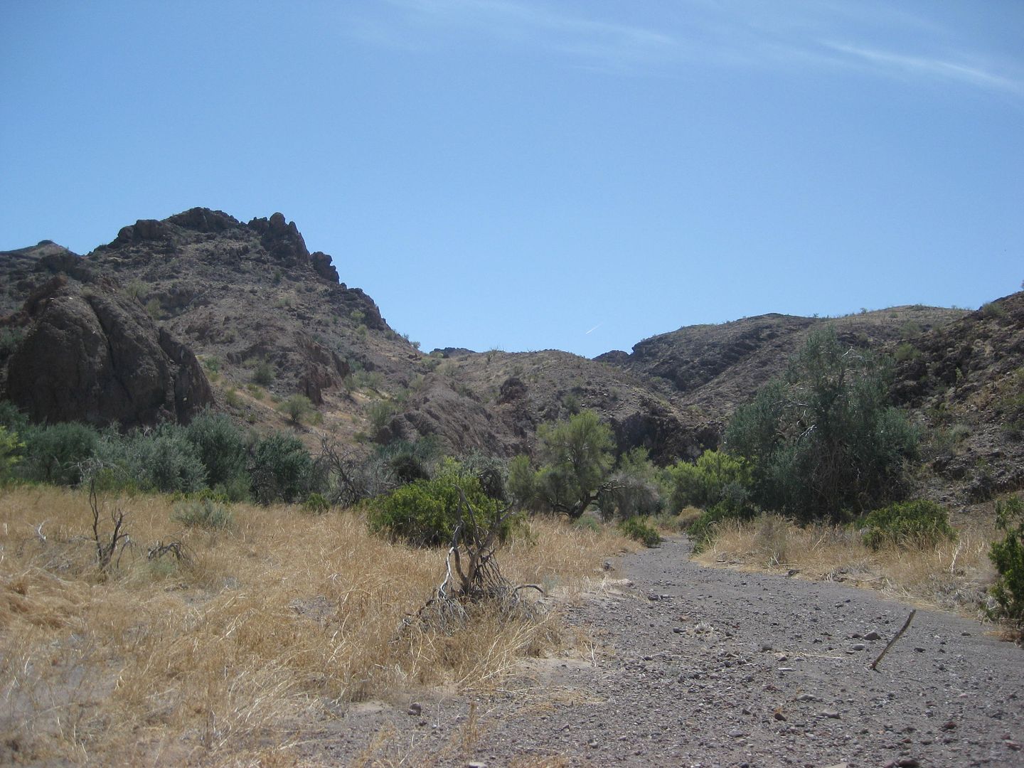
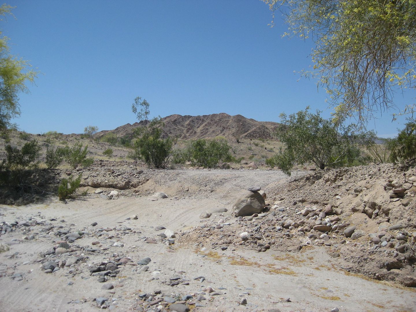
The three of us remaining drive south 0.6 mile to Arroyo D, and find it is wide and smooth enough to drive in a ways.
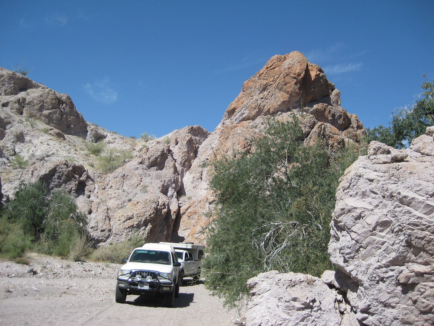
TMW and Frigatebird follow me as we are able to drive quite a ways into Arroyo D!
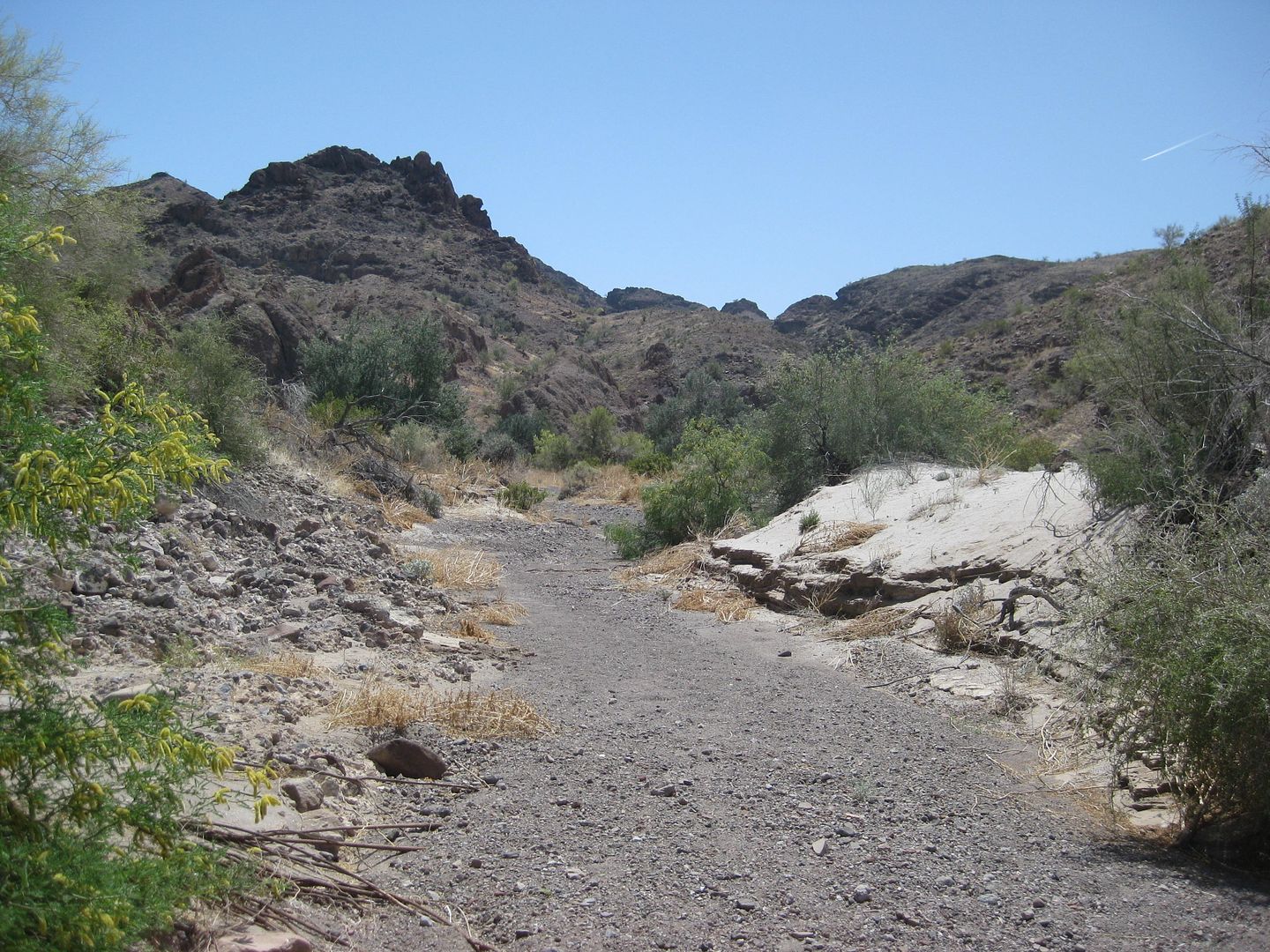
But we have to walk at some point!
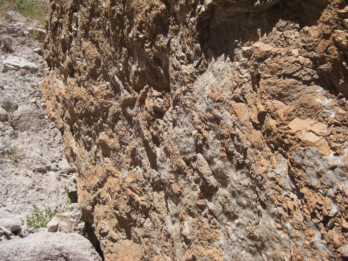
White crystal sheeting (fossil salt/ halite?) on the surface of these boulders.
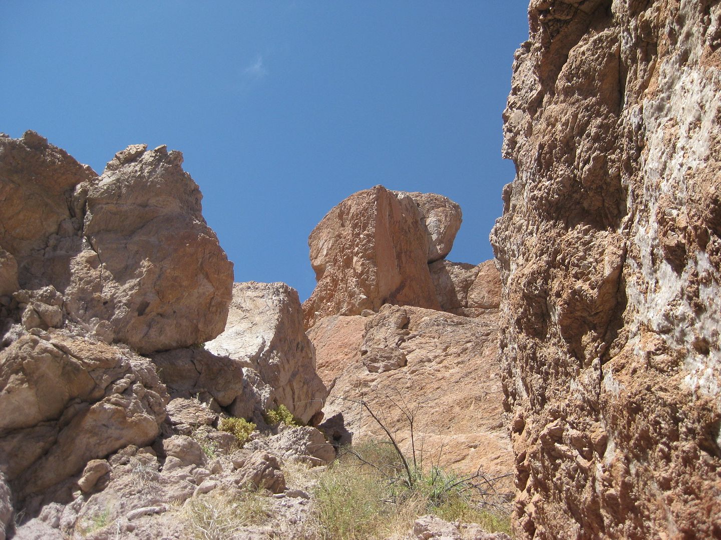
Not a canyon to be in during an earthquake!
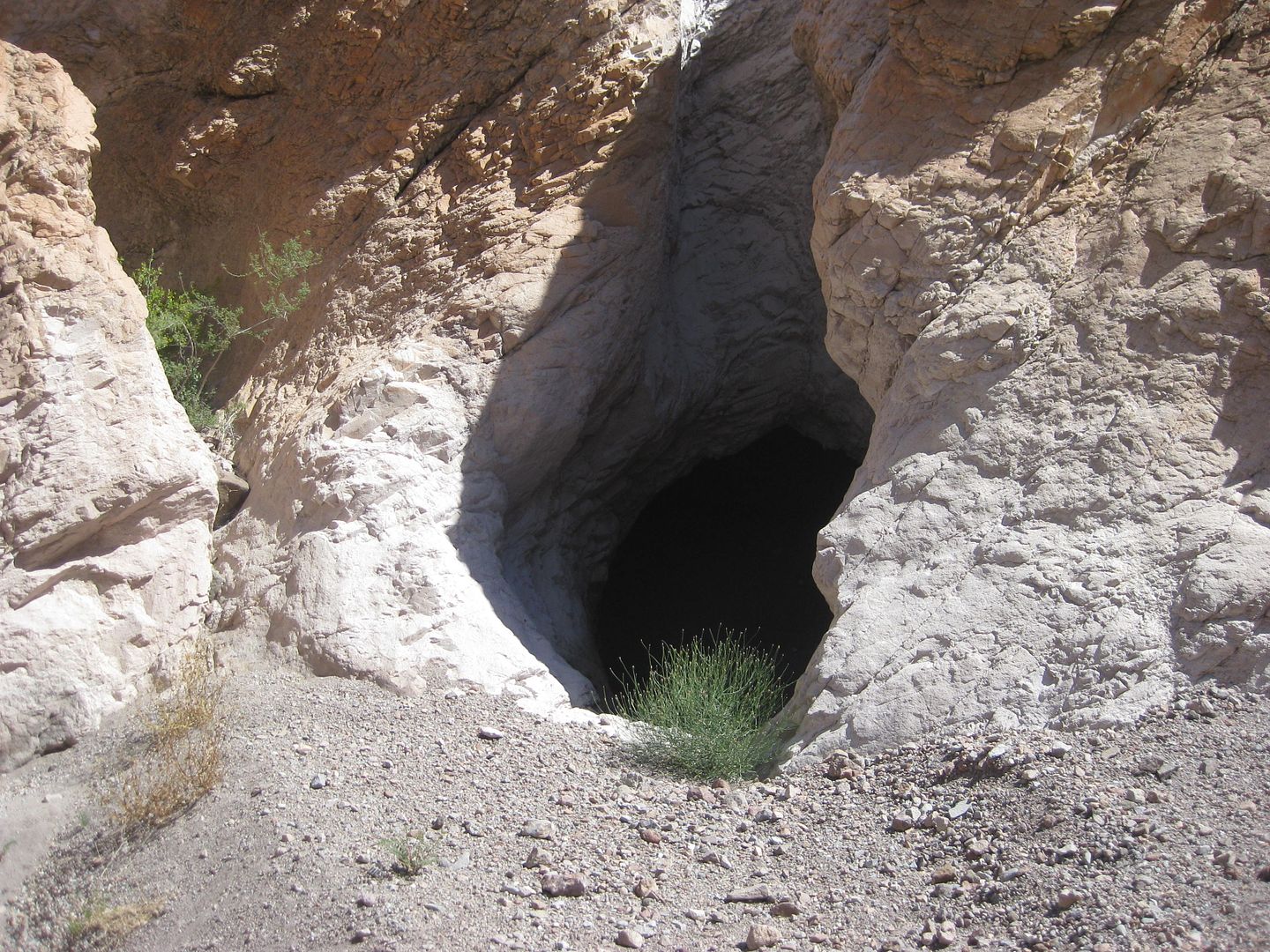
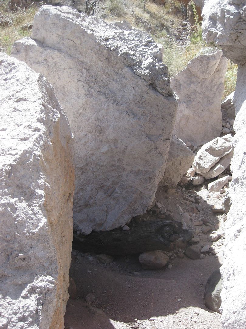
CAVE!!!
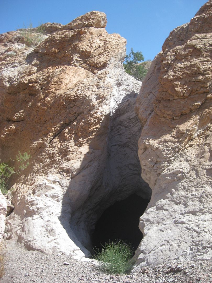
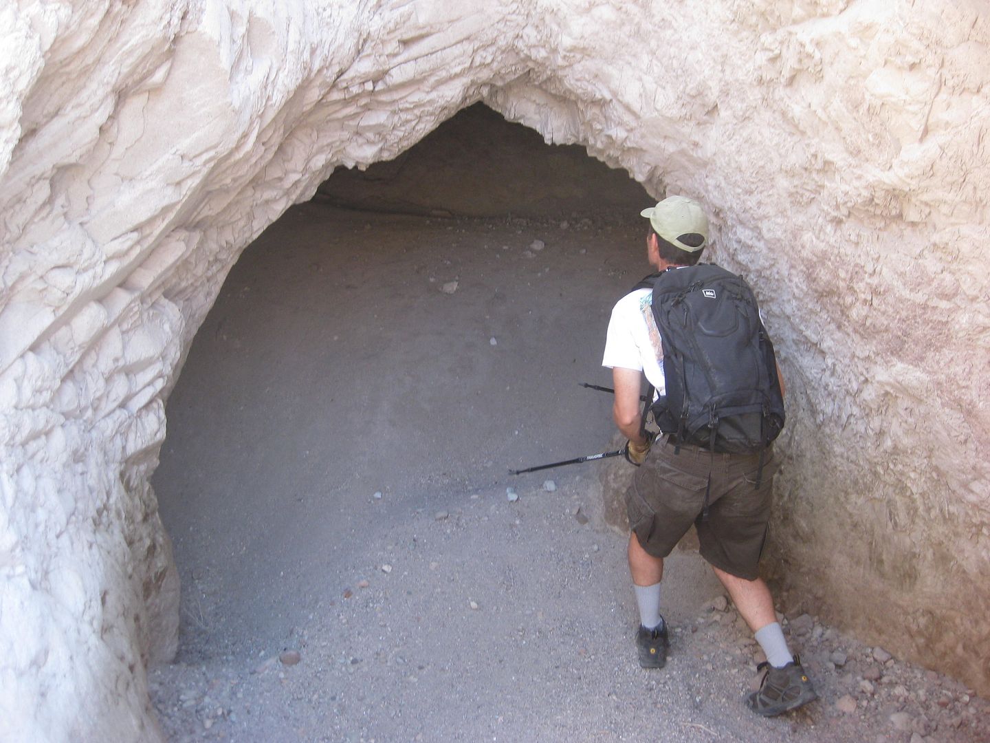
Frigatebird volunteers to check for wildlife!
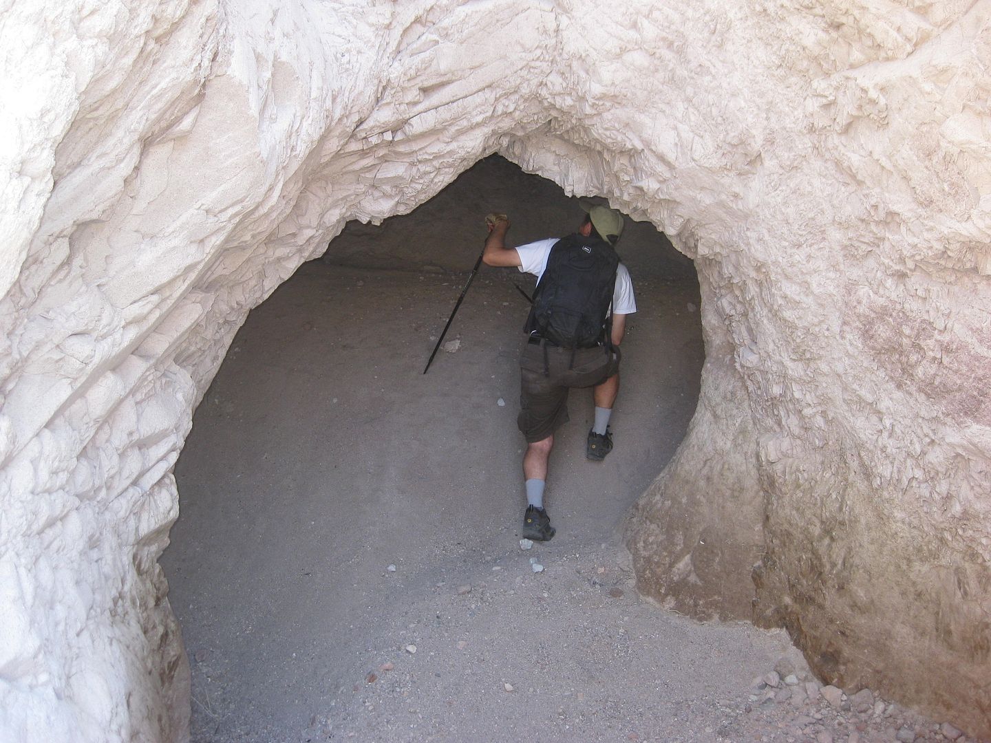
All clear!
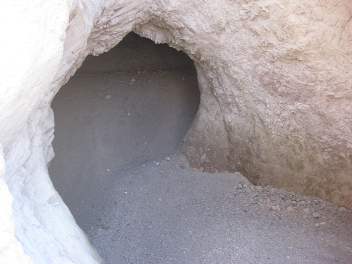
About 20 feet long to the left.
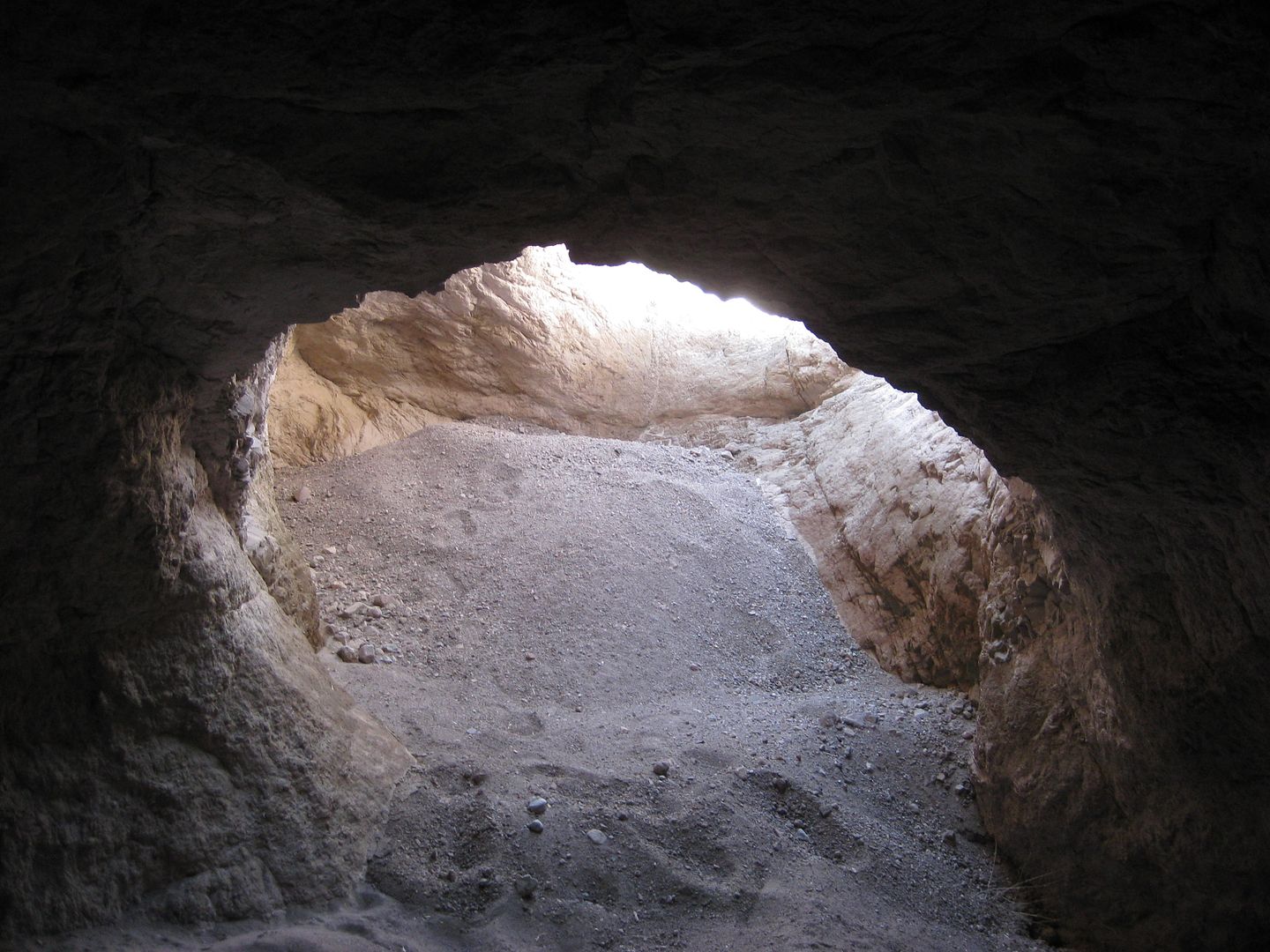
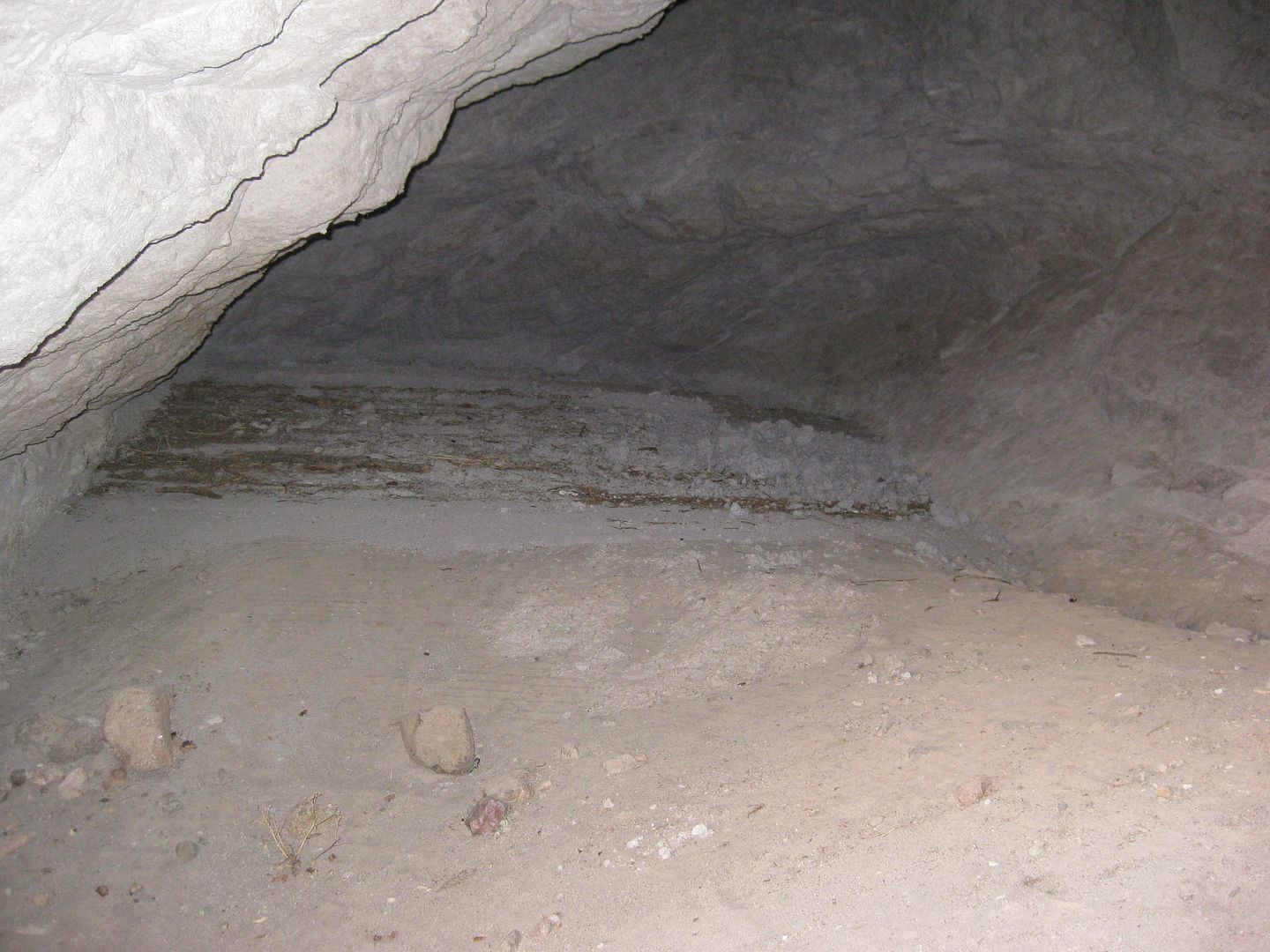
Looking out from inside.
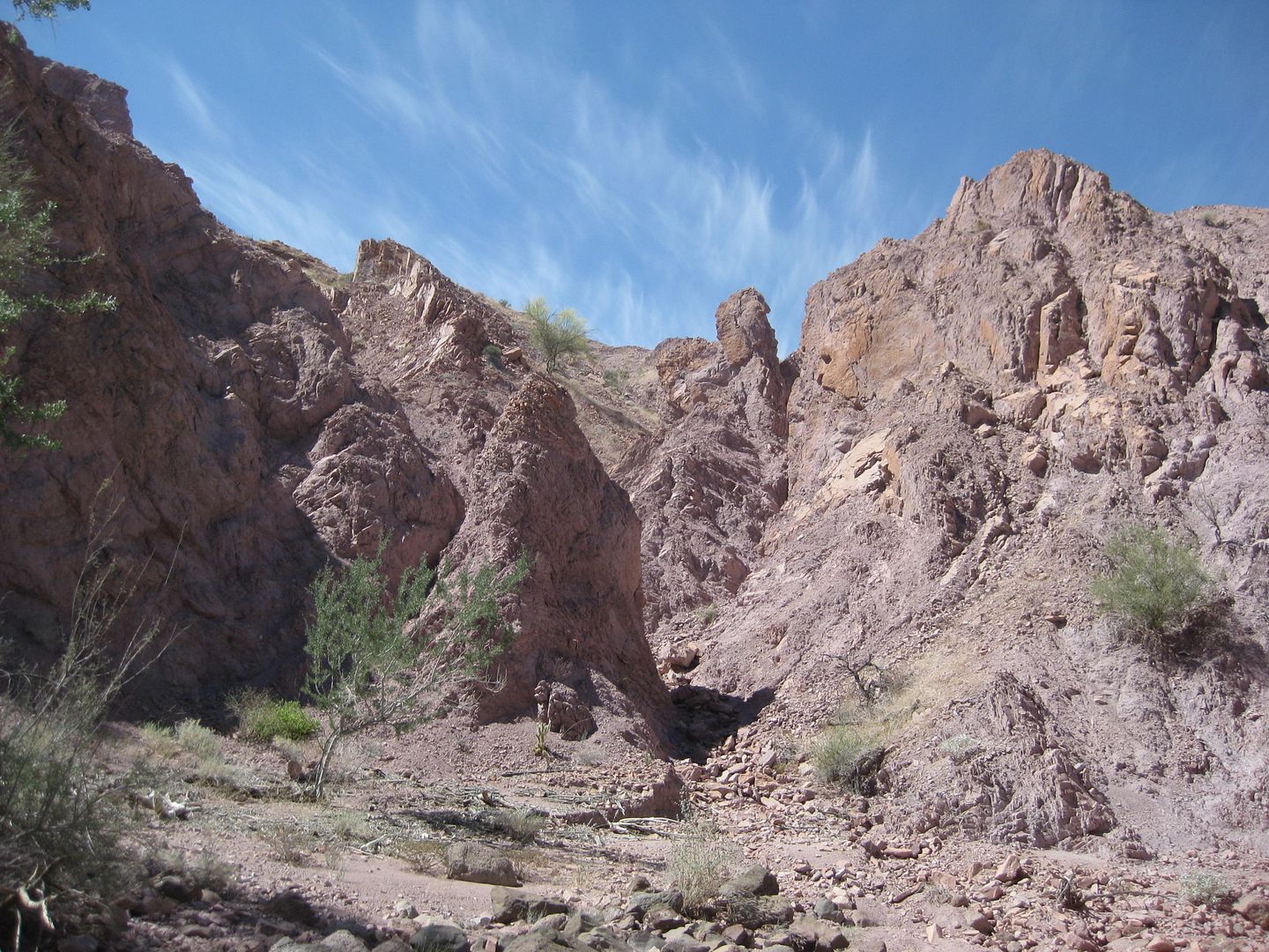
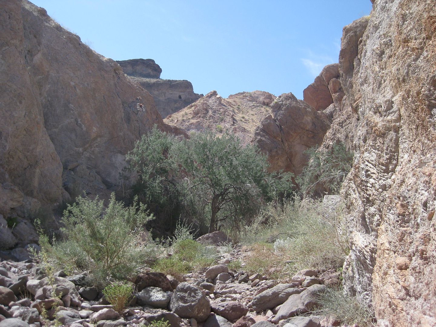
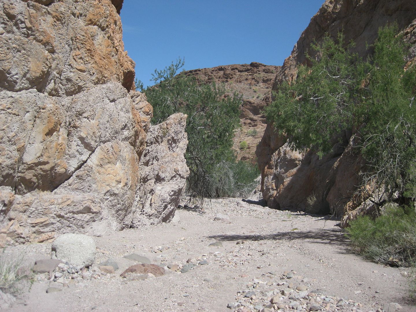
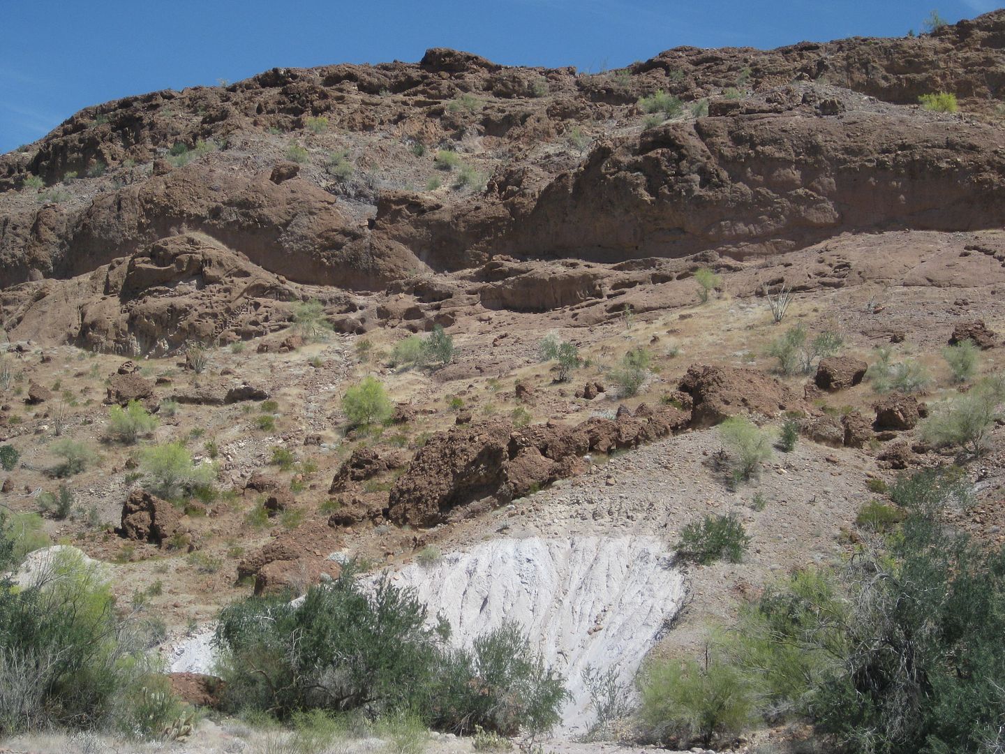
We go as far as we can, but it gets steep real soon.
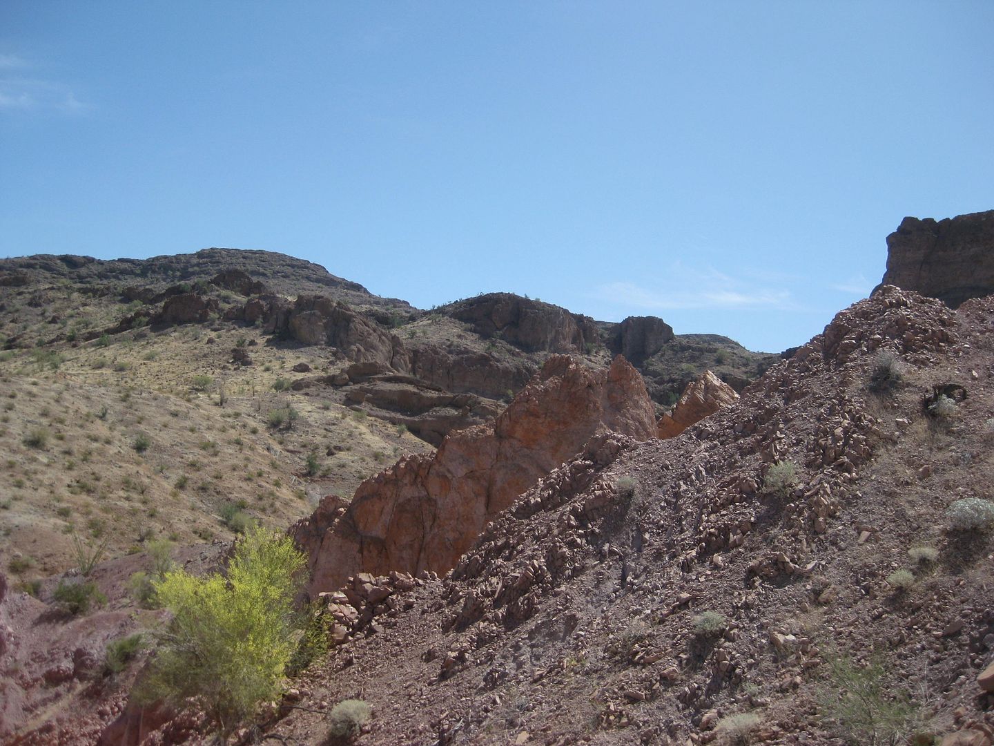
I climb to the top of the first ridge. Photos looking around...
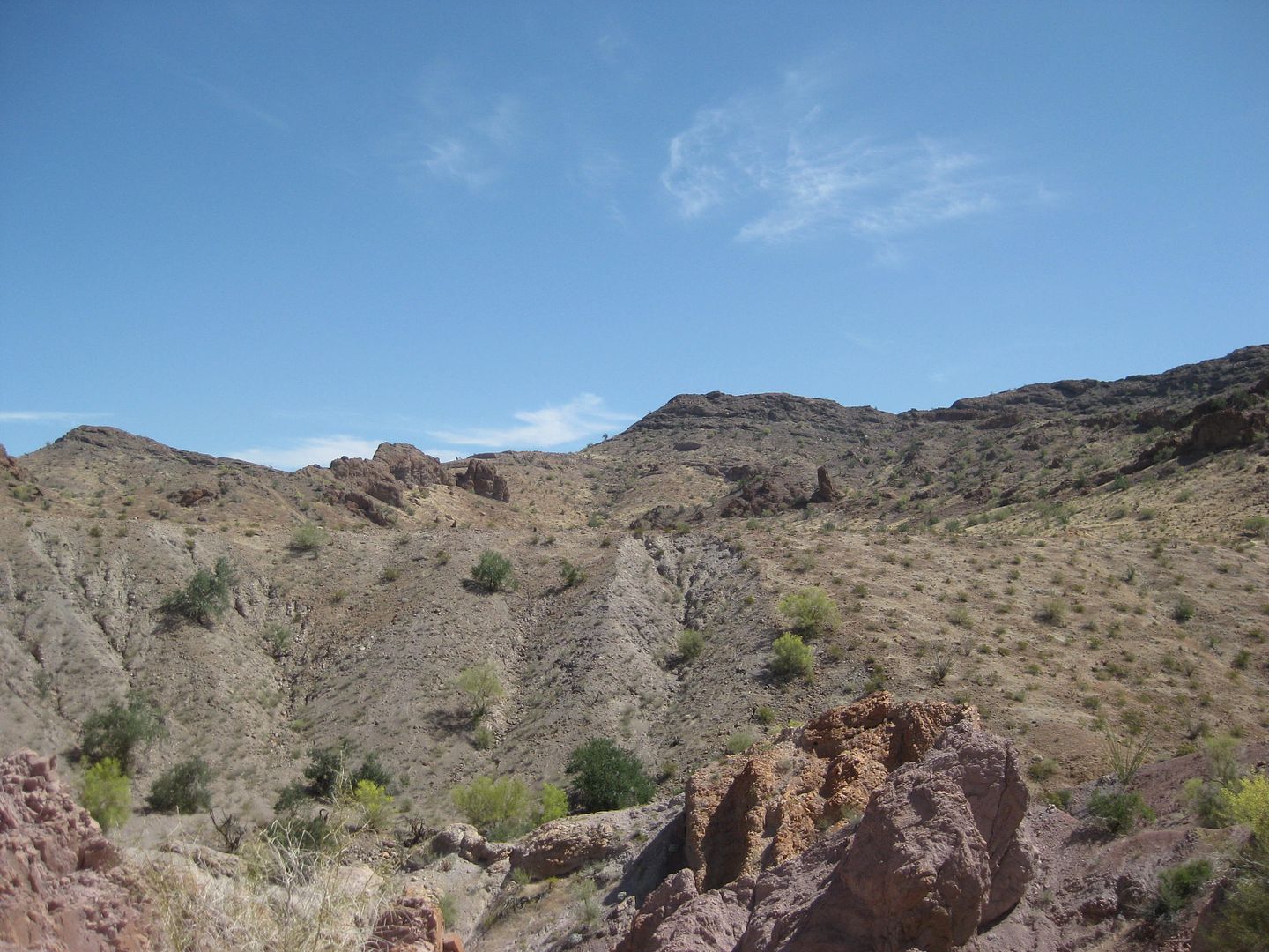
Back down in the canyon bottom...
Boulder dropped on a tree during a recent quake perhaps?
Heading back out...
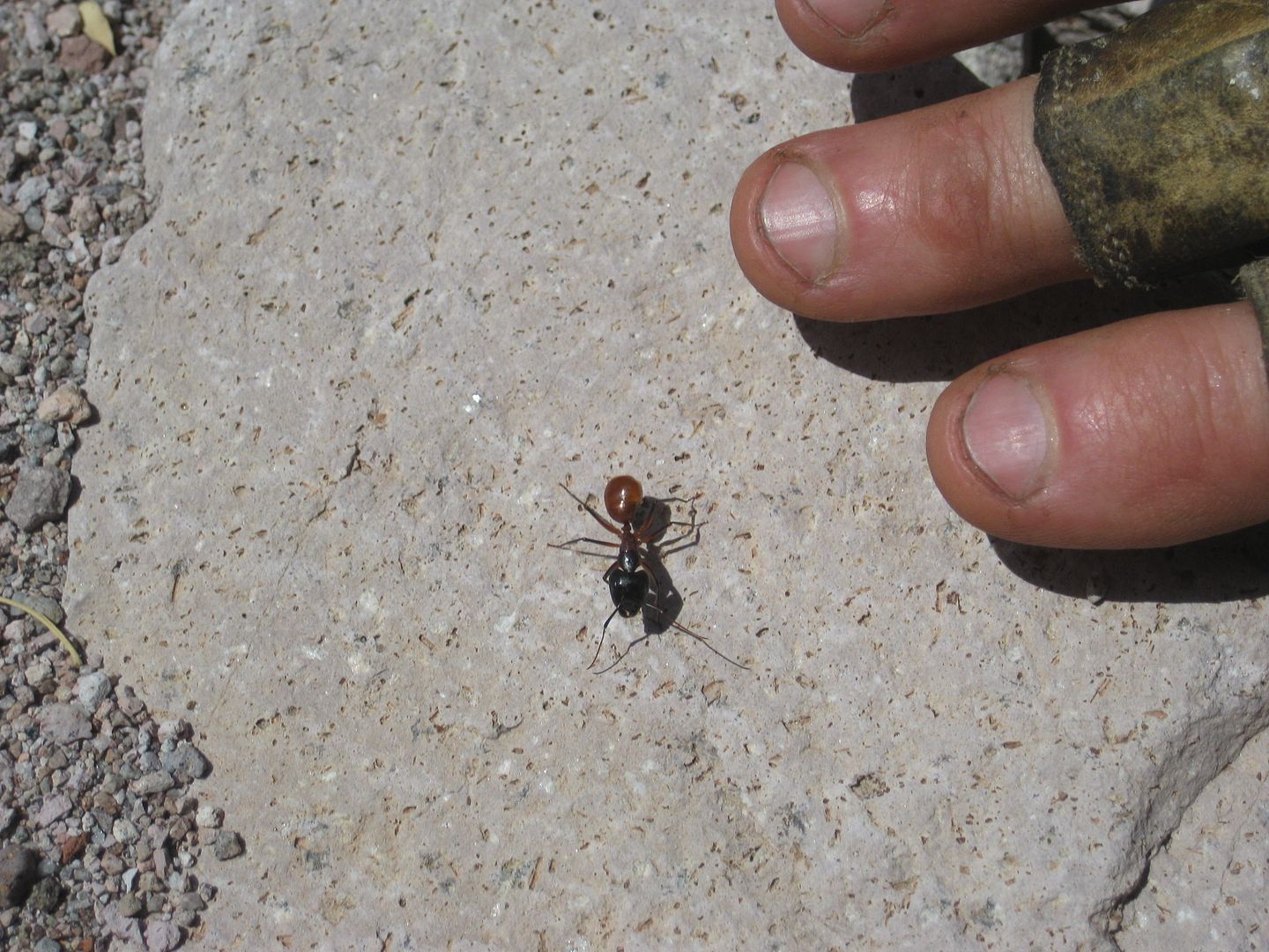
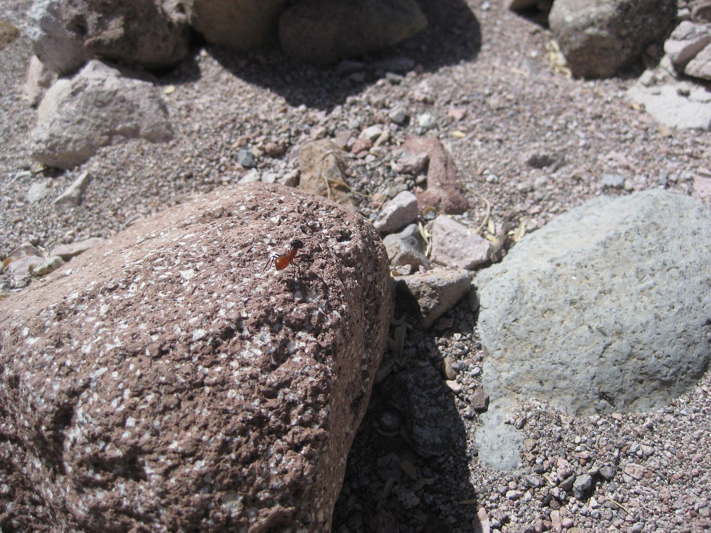
Giant Ant Found!
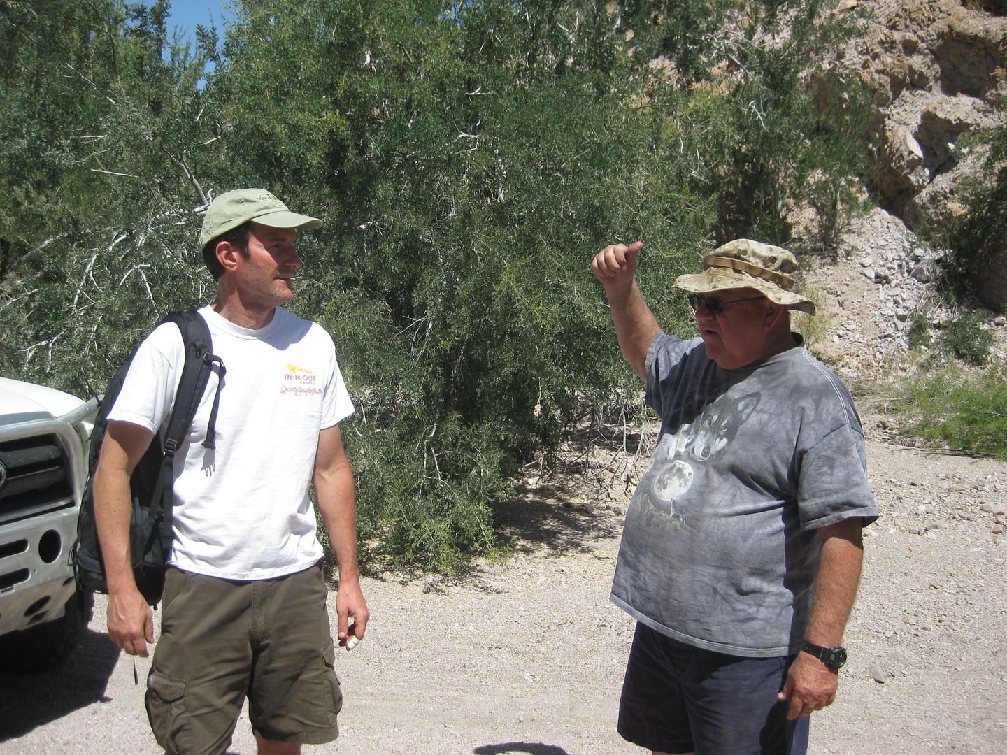
Talking with TMW back at the trucks.
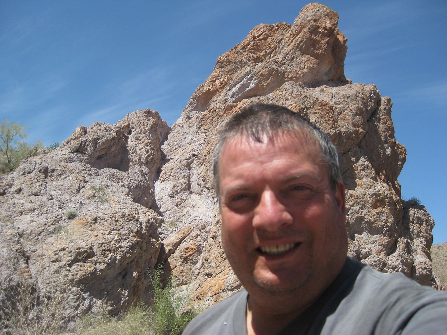
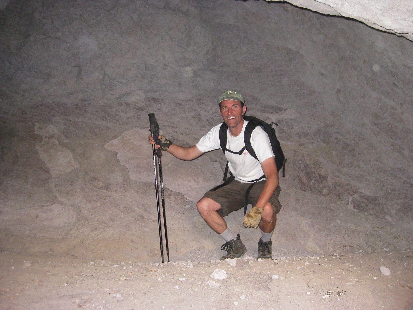
Selfie in Arroyo D
One more big surprise, coming up!
Maps of Arroyo D Hike:
|
|
|
David K
Honored Nomad
Posts: 64480
Registered: 8-30-2002
Location: San Diego County
Member Is Offline
Mood: Have Baja Fever
|
|
A surprise in Arroyo B!
Arroyo B (2 miles north of A, 2.6 miles north of D) was my original planned hike route up from Arroyo Grande. On Google Earth, it seemed to have the
most potential.
However, a week before our trip, PaulW hiked into the mid section or inner valley of Arroyo B from the north, and when he tried to walk out to Arroyo
Grande in it, he came upon a 20' dry waterfall and found no way around it. Paul climbed up the south side of the B canyon and down into Arroyo Grande
to return to his vehicle.
On our way home from Arroyo D, Tom wanted to see how he missed getting a photo of Arroyo B when he and XR Phil explored Arroyo Grande a few months
earlier. I also wanted to see the end of the arroyo at Arroyo Grande... just because... it is there!
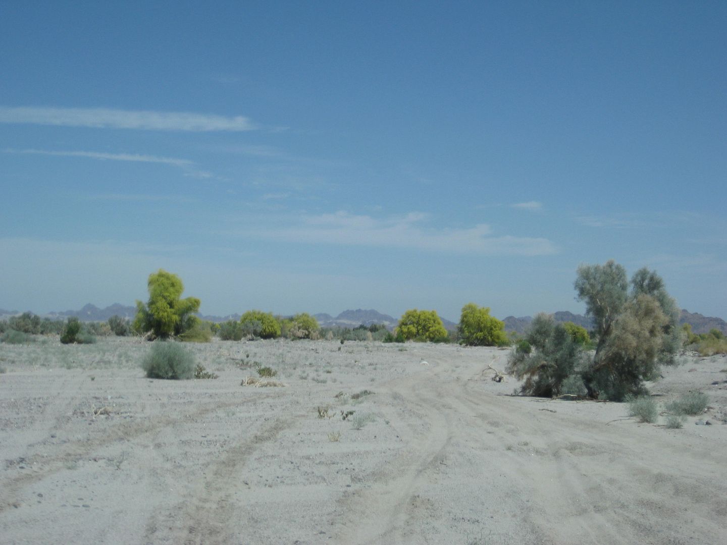
Driving north down Arroyo Grande.
The Arroyo B junction is wide at Arroyo Grande, but a row of shrubs hides the side wash, except for a small break in the brush on the north side. A
large beach/ bench of sand is behind the brushline.
Looking up Arroyo B toward's PaulW's waterfall. I turn around and walk back out...
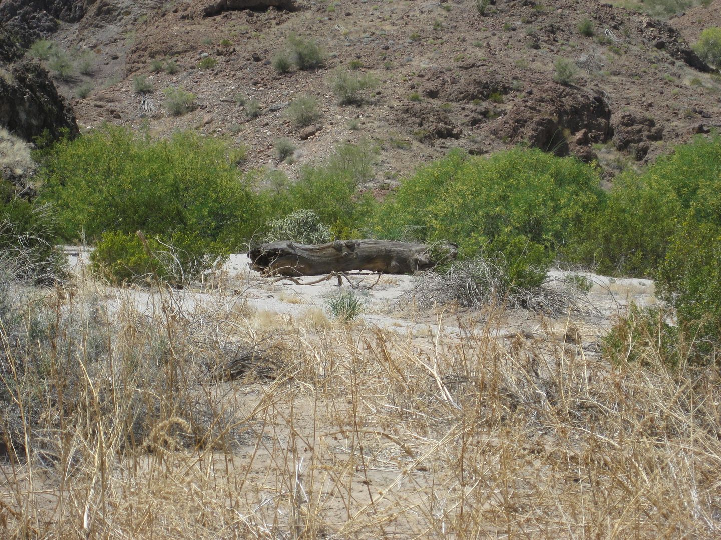
What is a GIANT tree log doing in this part of the desert? Is there a hidden forest up Arroyo B? These are desert hills, hardly able to support such
massive growth!
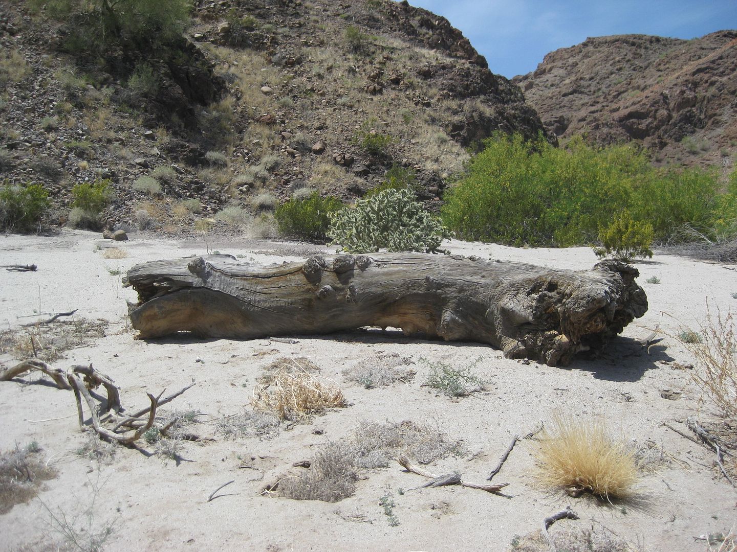
I shout over the brush to Tom and Joe (by the trucks in Arroyo Grande) that they need to see this.
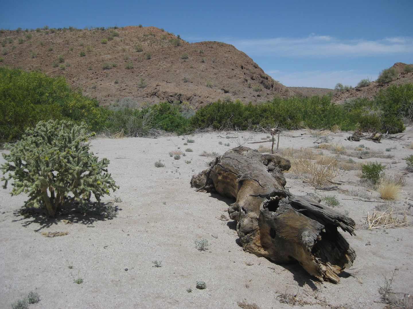
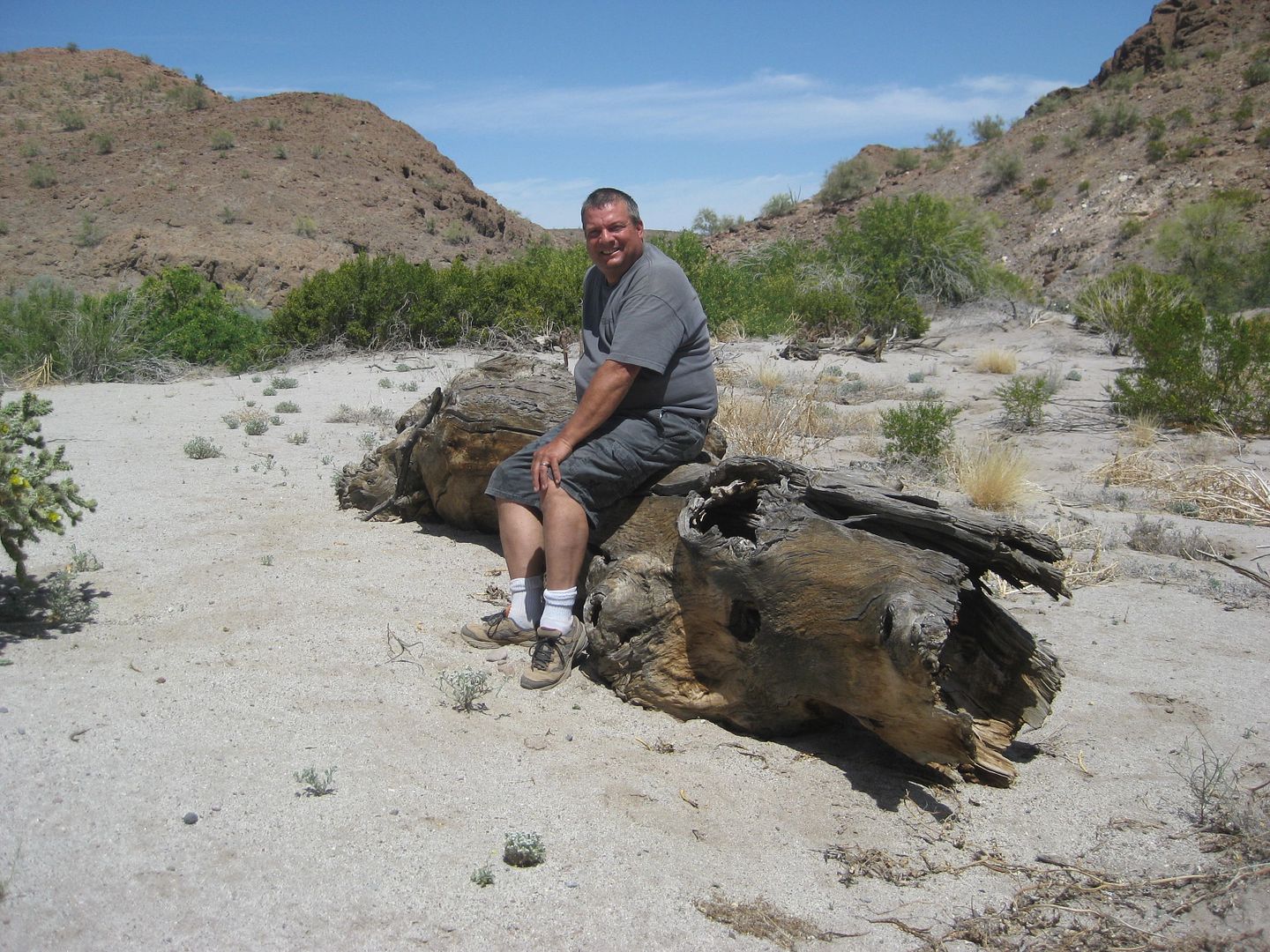
For scale!
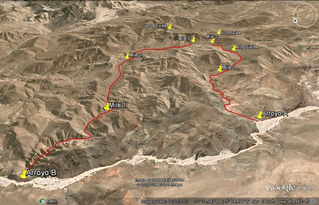
Arroyo B and A, and potential Henderson hike routes
Baja is full of surprises and new discoveries. I welcome ideas on this tree species.
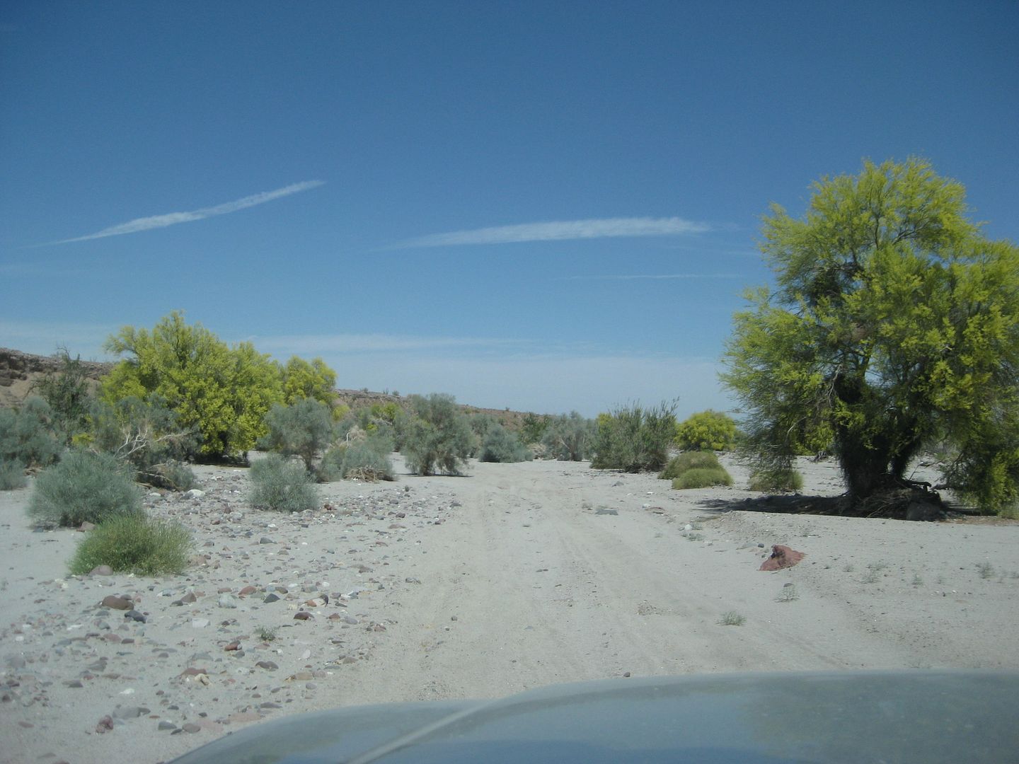
The desert trees are in bloom as we drive north in Arroyo Grande.
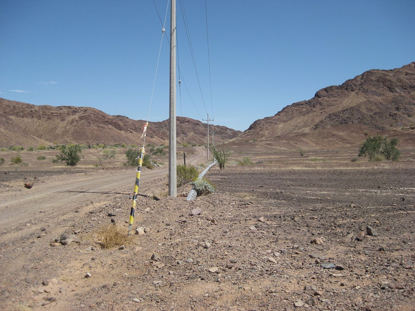
Pole Line Road at Arroyo Grande.
Passing the south well, heading for the north well and caretakers house.
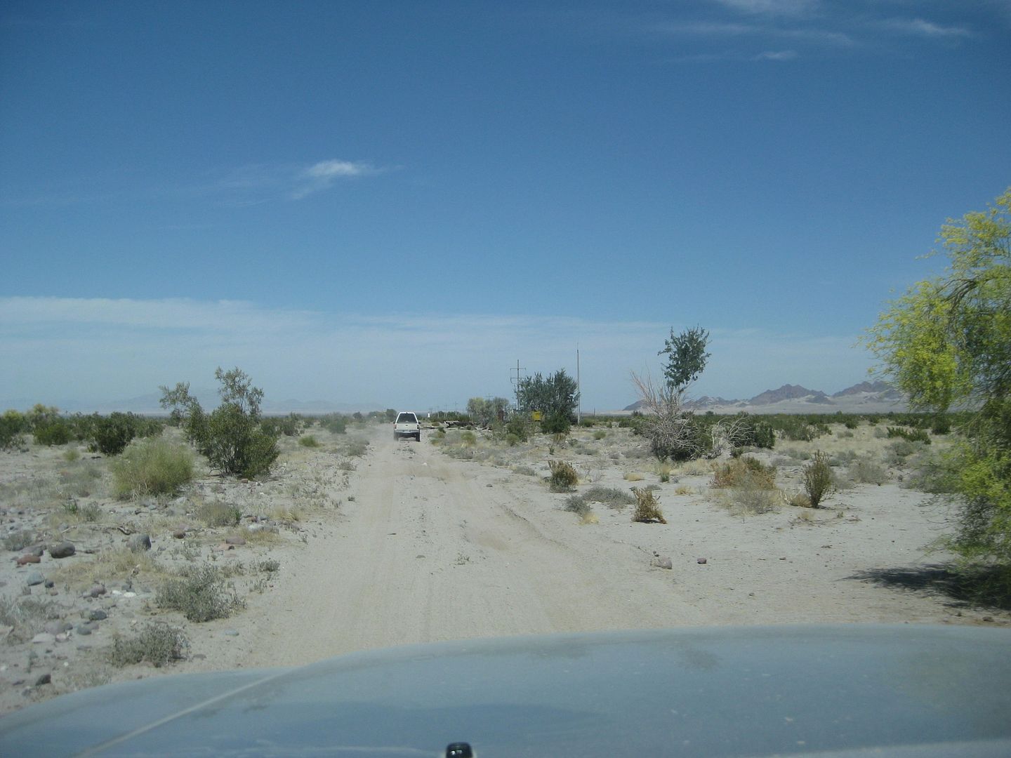
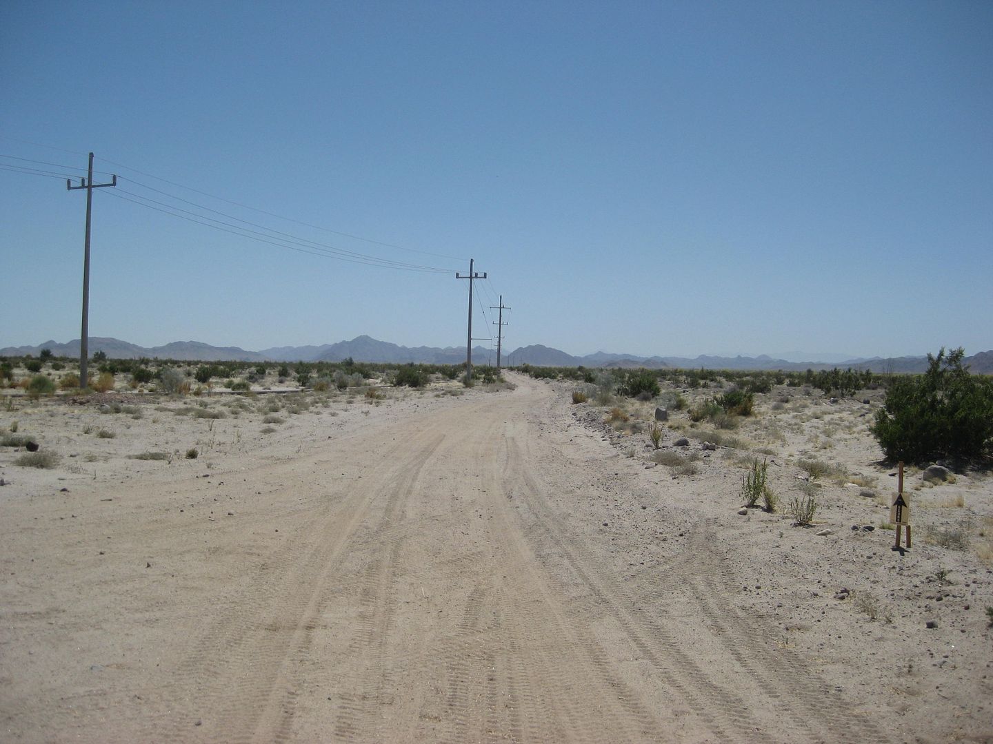
We continue down Arroyo Grande, pass the Pole Line Road junction (7.5 miles from Arroyo B, 9.5 from Arroyo A, 10.1 from Arroyo D) and continue north
for 5.3 miles to the huge water well pump complex that serves the gold mines about 40 miles north of San Felipe, along Hwy. 5.
A final look south from where we came.
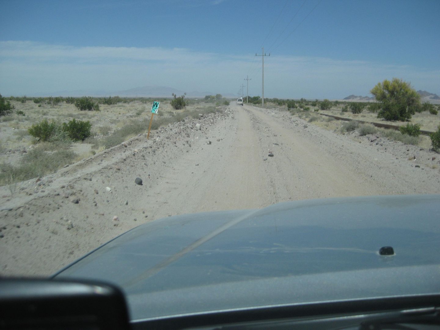
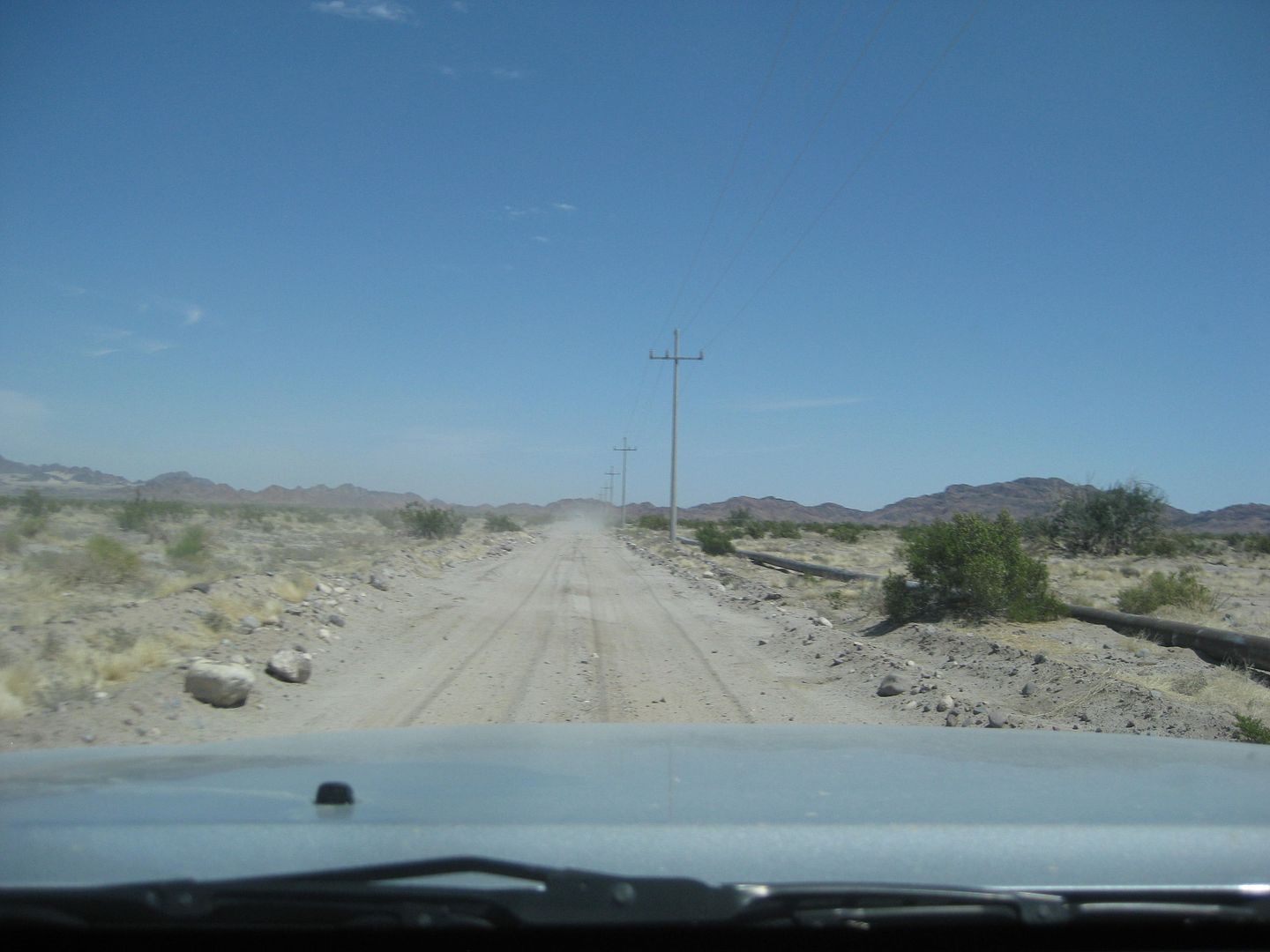
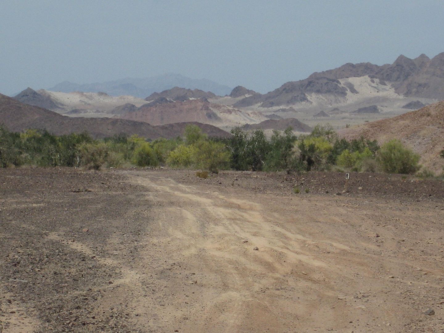
At the wells, we make a right (east) turn and take the graded road along the water pipe and power lines. 4.4 miles from the wells we cross the CODE
race course (the pipe briefly goes underground here, for the road south to pass over it). 6.5 miles from the wells, the road to Hwy. 5 turns left
(north) as the power lines continue east. New activity in this valley has a branch waterline going north just before the turn.
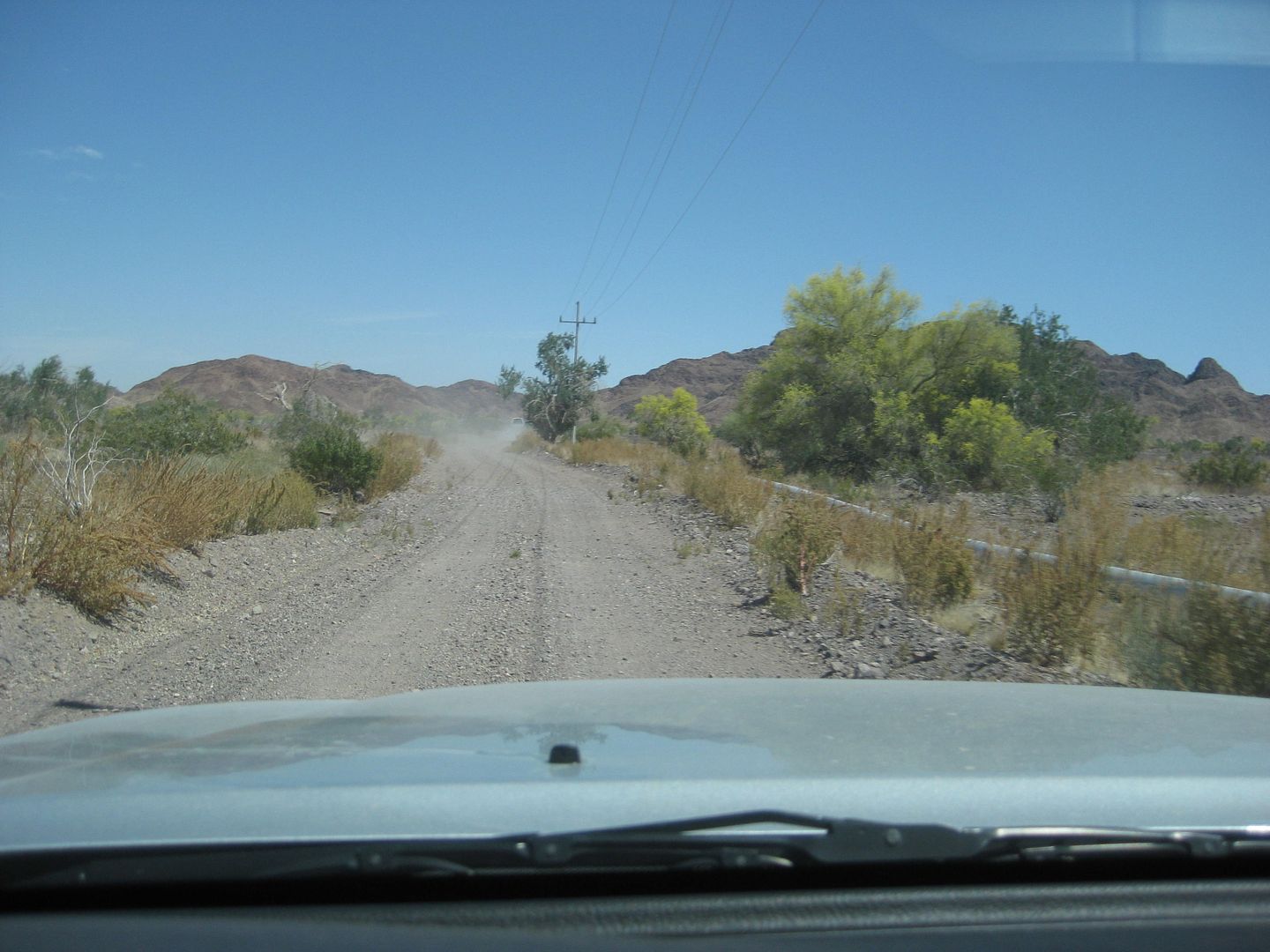
At the CODE race course crossing. (SCORE as well)
Looking north on the race road.
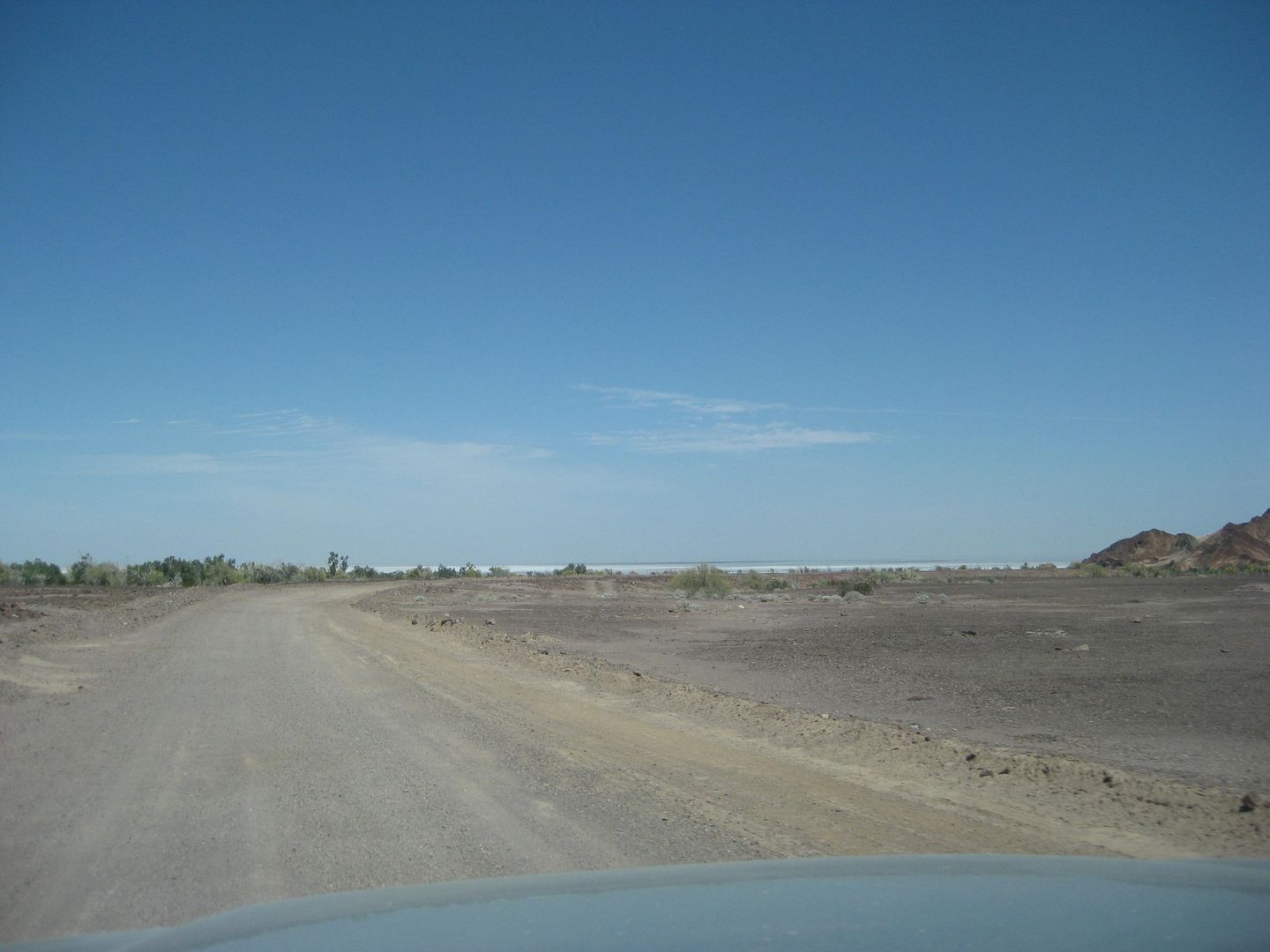
The salt flats and north end of the Gulf of California, as we near Hwy. 5.
At 12.5 miles from the wells, 17.8 from the Pole Line Road at Arroyo Grande, 25.3 miles from Arroyo B, we reach Highway 5 between Km. 106 and 107,
about a half mile south of the La Ventana rest stop/ store (former Pemex station).
The rest of the trip report notes I have say it was 46 miles to the La Puerta Pemex station (a U-Turn was needed because the highway is divided, and
the station is on the southbound side).
La Puerta to La Rumorosa toll booth was 59 miles, and it was 96 miles to the Tecate U.S. Border. The border wait and entry process was just 10 minutes
on Tuesday afternoon (5:44-5:54)
CONCLUSSION:
BAJA ROCKS! Good fun four wheeling with other Nomads and friends of Ken Cooke. Great to try and find history anywhere in Baja! On this Easter weekend,
we traveled a road built in the defense of California during World War II and the telephone poles along it. Then we hiked and climbed to try and find
a grave-like pile of rocks seen in the 1930's by Walter Henderson and written about by Choral Pepper and Bruce Barber in their books as they hoped to
find the rock pile. The January 8, 1541 grave of Melchior Diaz, of the Coronado Expedition into the land that would be the United States, remains
lost. Melchior Diaz was the first Spanish man to enter into California by land, but finding his grave on the west side of the Gulf of California would
positively confirm that.
|
|
|
4x4abc
Ultra Nomad
Posts: 4163
Registered: 4-24-2009
Location: La Paz, BCS
Member Is Offline
Mood: happy - always
|
|
great job, David!
Harald Pietschmann
|
|
|
Mexitron
Ultra Nomad
Posts: 3397
Registered: 9-21-2003
Location: Fort Worth, Texas
Member Is Offline
Mood: Happy!
|
|
Looks like you had a great time David---thanks for all the great pics and report. My first thought about the tree was a mesquite, though ironwoods
and palo verdes can get massive under the right conditions...
|
|
|
David K
Honored Nomad
Posts: 64480
Registered: 8-30-2002
Location: San Diego County
Member Is Offline
Mood: Have Baja Fever
|
|
Thank you Harald... Here is a photo you took of me, Tom and Joe on the north side of Arroyo A, going around the dam gorge...

|
|
|
David K
Honored Nomad
Posts: 64480
Registered: 8-30-2002
Location: San Diego County
Member Is Offline
Mood: Have Baja Fever
|
|
Quote: Originally posted by Mexitron  | | Looks like you had a great time David---thanks for all the great pics and report. My first thought about the tree was a mesquite, though ironwoods
and palo verdes can get massive under the right conditions... |
Yes, I did, you are welcome... thanks for your ideas on the tree log too.
|
|
|
güéribo
Nomad
Posts: 239
Registered: 10-17-2014
Member Is Offline
|
|
Great report...thanks for all the details and the photos.
|
|
|
BornFisher
Super Nomad
Posts: 2103
Registered: 1-11-2005
Location: K-38 Santa Martha/Encinitas
Member Is Offline
|
|
Great report---- felt like a treasure hunt, what a mystery!!! I think it will take a plane to search and locate the rock pile if it is still there.
Thanks for the report and pics, great work!
|
|
|
TMW
Select Nomad
Posts: 10659
Registered: 9-1-2003
Location: Bakersfield, CA
Member Is Offline
|
|
Excellent report DK, the pictures and narrative was great. One of the things I found interesting was we or at least I never saw a snake. One of
Hendersons fears in not disturbing the rock pile was the deadly red rattler than comes out in April. Believe me when walking near bushes and over
rocks I had that in mind.
|
|
|
David K
Honored Nomad
Posts: 64480
Registered: 8-30-2002
Location: San Diego County
Member Is Offline
Mood: Have Baja Fever
|
|
Yes, I have only seen snakes (90% rattlers) in the month of April... and not a one on this trip.
The other amazing point is not one tire failure/ rock puncture during the run. Specially with my el chepo Pep Boys tires... which I am shopping for
replacements for now (sidewall leak from before the trip) and at just 22,000 miles on them.
|
|
|
Frigatebird
Nomad
Posts: 215
Registered: 9-12-2004
Location: L.A. County
Member Is Offline
Mood: Soaring
|
|
Nice work David. Just as I remember it, except I thought you snapped a photo of the mountain lion when I evicted it from the cave? 
Avatar courtesy of Herb 
|
|
|
David K
Honored Nomad
Posts: 64480
Registered: 8-30-2002
Location: San Diego County
Member Is Offline
Mood: Have Baja Fever
|
|
| Quote: Originally posted by Frigatebird | | Nice work David. Just as I remember it, except I thought you snapped a photo of the mountain lion when I evicted it from the cave? |
The older I get, the slower I get... sorry I missed that photo shot!!! 
|
|
|
David K
Honored Nomad
Posts: 64480
Registered: 8-30-2002
Location: San Diego County
Member Is Offline
Mood: Have Baja Fever
|
|
I hope that someone out there is inspired to join me in solving the rock-pile location mystery. Keep on following your dreams to make discoveries and
have adventures in Baja California and the North American deserts!
|
|
|
Fatboy
Senior Nomad
Posts: 713
Registered: 6-28-2005
Member Is Offline
|
|
Interesting....read about it originally in Desert Magazine years ago.... The line Choral said to draw in the article is pretty close to what works out
with all the new info.... Odd that she 'left out' some details.
Based on what I see I believe you are looking too far north....I will post my reasoning in the next couple of days...
Thanks for posting the letter because it does give additional clues.
|
|
|
PaulW
Ultra Nomad
Posts: 3005
Registered: 5-21-2013
Member Is Offline
|
|
As always. Another hike is planned. After late Oct. I will be back in SF and would like someone to join me. Figure out a date and I will make myself
available. David can summarize what the priority would be for a first try. Any route is acceptable for me. Trip could be anything from a day trip from
SF to several days camping in AG?
What say you all.
Paul
PS. same kind of trip to repeat the 3 summits trip. PW
|
|
|
ehall
Super Nomad
Posts: 1906
Registered: 3-29-2014
Location: Buckeye, Az
Member Is Offline
Mood: It's 5 o'clock somewhere
|
|
Interested if the timing works out.
|
|
|
KaceyJ
Nomad
Posts: 387
Registered: 10-7-2011
Location: there
Member Is Offline
|
|
DK, to me , because of the knots / nodes / morphology the tree looks to be a Cottonwood or Sycamore which may seem out of place but I'd bet there is
a stand at a higher / wetter location upstream
|
|
|
David K
Honored Nomad
Posts: 64480
Registered: 8-30-2002
Location: San Diego County
Member Is Offline
Mood: Have Baja Fever
|
|
| Quote: Originally posted by KaceyJ | | DK, to me , because of the knots / nodes / morphology the tree looks to be a Cottonwood or Sycamore which may seem out of place but I'd bet there is
a stand at a higher / wetter location upstream |
Thank you Kacey!
|
|
|
PaulW
Ultra Nomad
Posts: 3005
Registered: 5-21-2013
Member Is Offline
|
|
David can you resurrect an overview showing the A, B, C locations in the AG wash?
I know we saw it back when with coordinates at one time.
Thanks
|
|
|
Fatboy
Senior Nomad
Posts: 713
Registered: 6-28-2005
Member Is Offline
|
|
DK....What was your criteria for the current search site? How did you narrow it to the current area?
|
|
|
| Pages:
1
..
4
5
6
7
8
9 |


