| Pages:
1
2
3
..
12 |
David K
Honored Nomad

Posts: 65563
Registered: 8-30-2002
Location: San Diego County
Member Is Offline
Mood: Have Baja Fever
|
|
POLE LINE ROAD 2015 REPORT/PHOTOS (Sheri's pics + Chuck's Video added)
How we heard about this road...
The Pole Line Road Run was made popular about 15 years ago by Desert Explorer Neal Johns (one who is responsible for my getting a Tacoma) after
reading about it in an old guidebook to Baja California...
From 1962 Lower California Guidebook:
I wish to thank Ken Cooke for organizing this run and inviting me along (with a request I provide a mission lecture for the group). I was thrilled
Baja Angel was agreeable to me having fun without her (she would have loved to go, being a former Jeep owner and veteran of the Rubicon run at Lake
Tahoe).
Disclaimer: In no way does my poking fun at any of the events intend to diminish my respect for Ken, Jeep Corporation, or especially the Ford Motor
Company! My odometer is just a tad slow as I am running 1 taller than stock tires, off 1 mile for every 40 traveled (0.1 for every 4).
9:35 am Mexicali Pemex: Filled 3 jerry cans (19-20 liters if topped cans) and the pump read 59.875 liters (15.8 gallons) which is so close to
reality, I would say this was a pretty honest station. 732.85 pesos (at 14.50:1 exchange), gave the guy $52 with tip. That puts 87 octane Magna Sin at
about $3.23/ gal.
10:50 am After a wonderful tour of the back streets and residential areas of Mexicali, including the majority of 4 way stop signs in that city, a few
dead end streets for fun, and closed construction zones, all before reaching Hwy. 2, we learn the highly prized best taco asadero in El Progreso was
no longer in business! We learned this from those waiting at the next best asadero shop, who got us on the radio as we breezed past them. Hey, this
is Mexico and one must be open to changes!
The now bigger group is heading west on Hwy. 2 as it is decided to use the 24.3 miles of smooth, dry lakebed instead of the usually washboard surface
graded road (signed for Cañon de Guadalupe Hot Springs). Now the road to the dry lake bed is signed as an open public road Laguna Salada off Highway
2, however, on some weekends there is a toll booth set up by some so-called land owners collecting 100 pesos (US$6.90 at a 14.50:1 rate of
exchange). Because of the size of Kens caravan, the jefe agreed to a discount of $6.00 per vehicle.
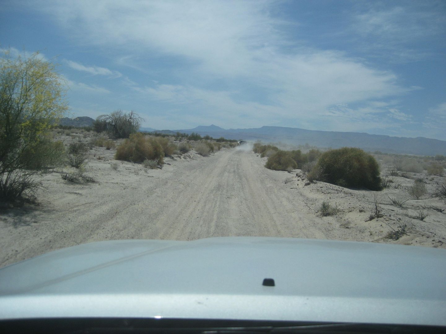
Mile 0.0, Laguna Salada lakebed, 11:20 am (27 miles driven from border at Mexicali, not using the shortest route). The lakebed is about the best I
have driven in quality.
Mile 21.0, Fork on lakebed to right, 11:48 am
Mile 24.3, Off of lakebed, 11:54 am. A military Humvee and truck with well-armed soldiers is on road pointed towards us. They wave and give thumbs
up us as we pass. Viva Mexico!
Mile 25.5, we meet the graded road from Hwy. 2 to Guadalupe Canyon and turn south, 12:16 pm
There is several houses in a scattered new ejido. New since my last time here, anyway and there is no clear direction to get beyond the ejido. John M
takes the lead from Ken as he has GPS with race course data and this is some of the CODE race route south. We get back on track and head south from
the Guadalupe Canyon fork area.
Mile 29.1, a kilometer sign post KM. 50, the only one I saw, 12:25 pm
Mile 31.8, Fork to right
Mile 45.9, Fork to right, 1:03 pm
Mile 47.6, COHABUZO JUNCTION, 1:08 pm to 2:06 pm
Here we meet more Nomads and Off Roaders from Rio Hardy (including MICK). This is where the road from Hwy. 5 at the sand dunes ends up as a
short-cut to this region from San Felipe. It is not all easy, and the last 20 miles are very tough and full of silt (at least when I drove in in
2002). MICK destroyed a tire before reaching Cohabuzo, I heard.
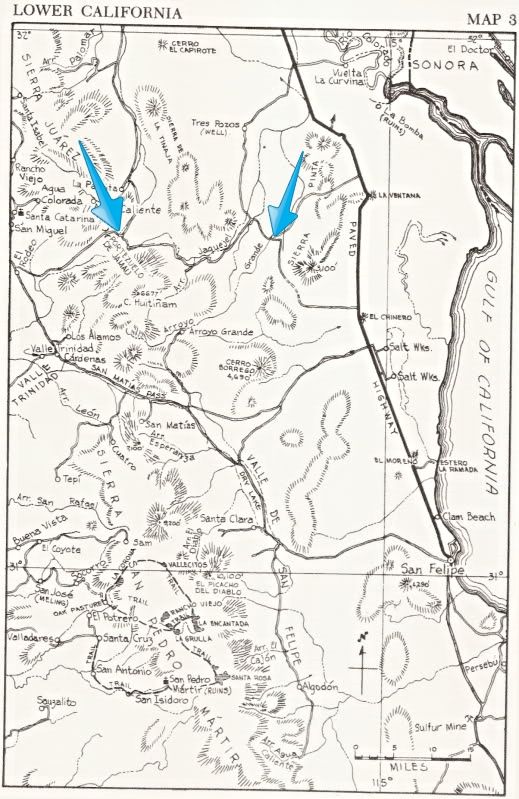
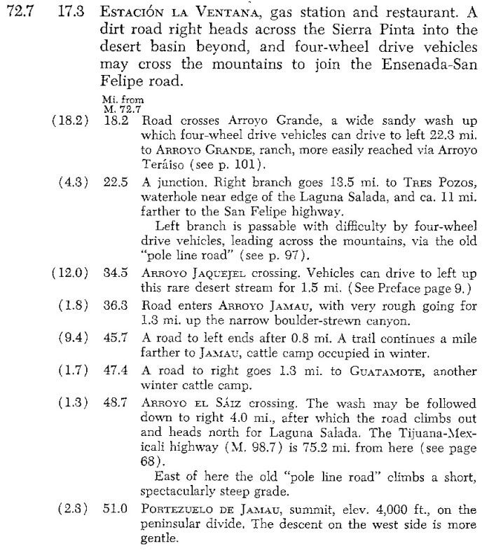
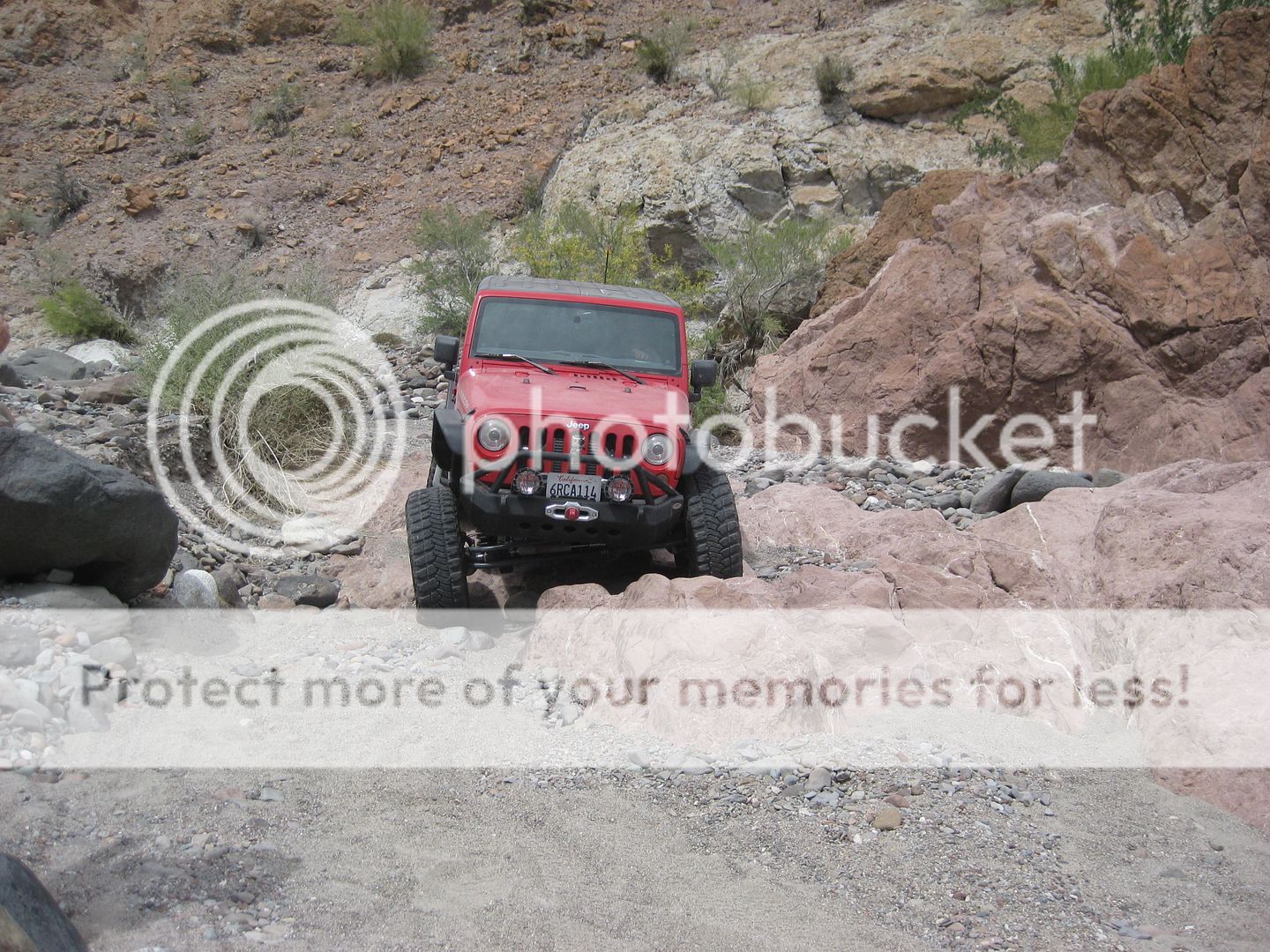
Mile 72.7, POLE LINE ROAD, 5:06 pm, at bottom of the SUMMIT a steep drop off the Sierra Juarez built for the WWII Pole Line construction and has
been used by SCORE for many off road races since the late 1970s. The pole line continued east but not in any regular direction for very long, so as
to not stand and be subject to aerial spotting or destruction by the enemy. This was mid-1942, and the U.S. was not certain of how much the enemy had
infiltrated into remote Baja California peninsula, if at all.
There is a locked, steel gate blocking access to the Pole Line Road, eastbound, near the bottom of the summit. Ken checks it out and then we begin to
use the newly made detour around the west side that goes around the gate. This is a barely traveled route described to us by PaulW, and I make my
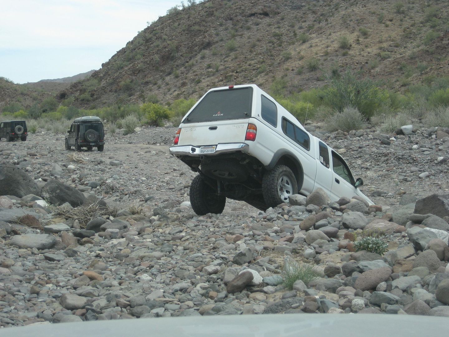
first under-body damage on a rock hidden by a shrub. It is very slow going for 1.3 miles before word on the radio says MICKs Ford Ranger has lost its
transmission fluid and is not looking good. It is getting dark soon and even though the wind is howling through the canyon we are in, there is simply
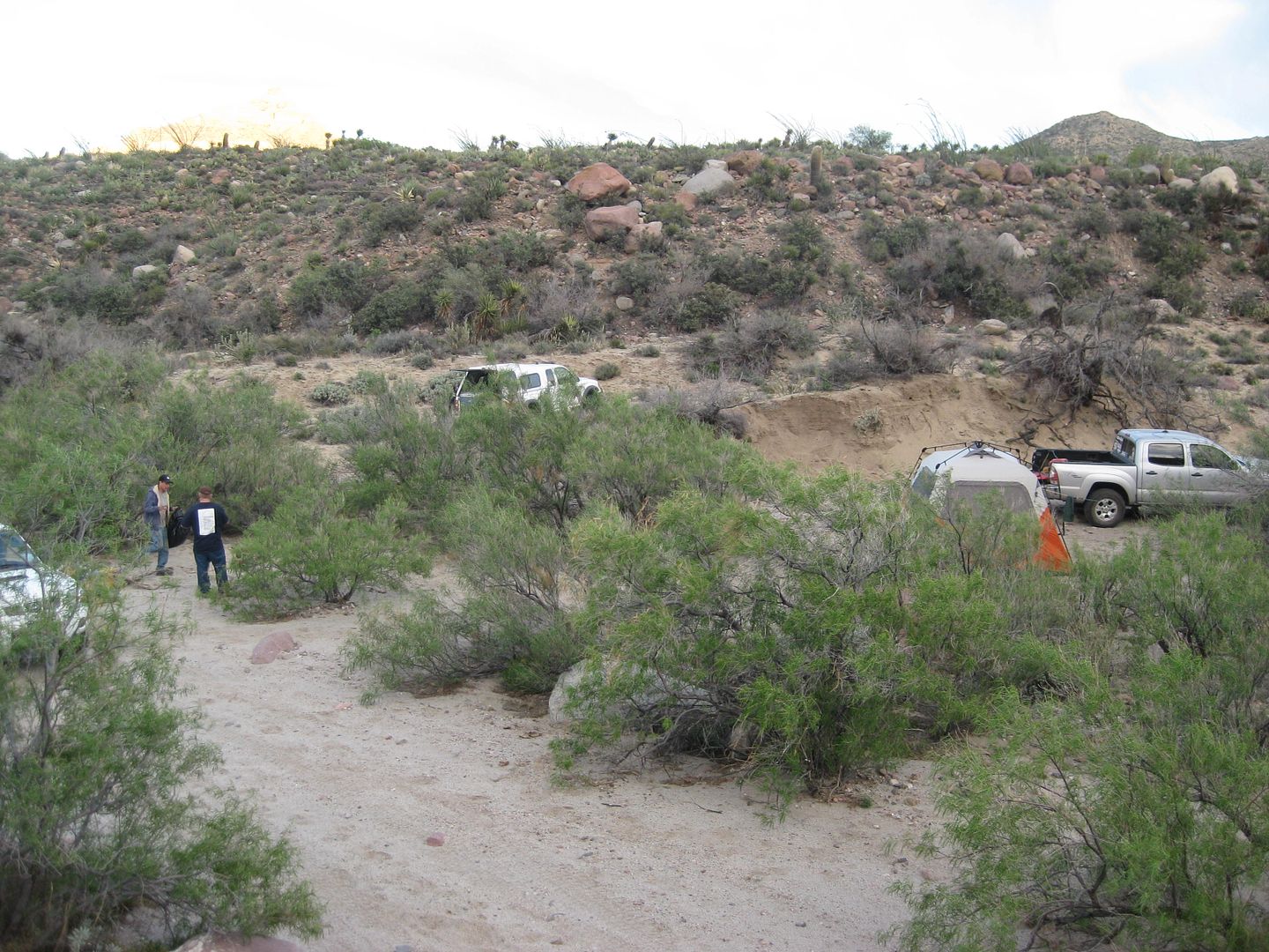
no better place to camp and also evaluate how to help MICK. We make a U-turn and come back down just 0.2 mile to our camp for the first night
(Saturday April 6, 2015). Mile 73.8 (not counting the distance from where we camped to the U-Turn and coming back to camp), 5:35 pm.
The wind is just too strong for a camp fire, and the history lecture is postponed
it is Baja, and being flexible is part of the deal. I put up my
Coleman Insta-Tent and even with the strong wind, I manage to do so easily alone, in just a few minutes. Inside, there is lots of room for my cot,
table, chair and I cook my dinner and make hot cocoa. TW (TMW now on Nomad) is camping across the road from me. TW and Ken Cooke both have a look at
the inside the miracle tent (rated for sleeping 8 and tall enough to stand in).
Sleeping, with the wind flapping the walls of the tent was impossible however
but I was warm and comfy!
END DAY 1
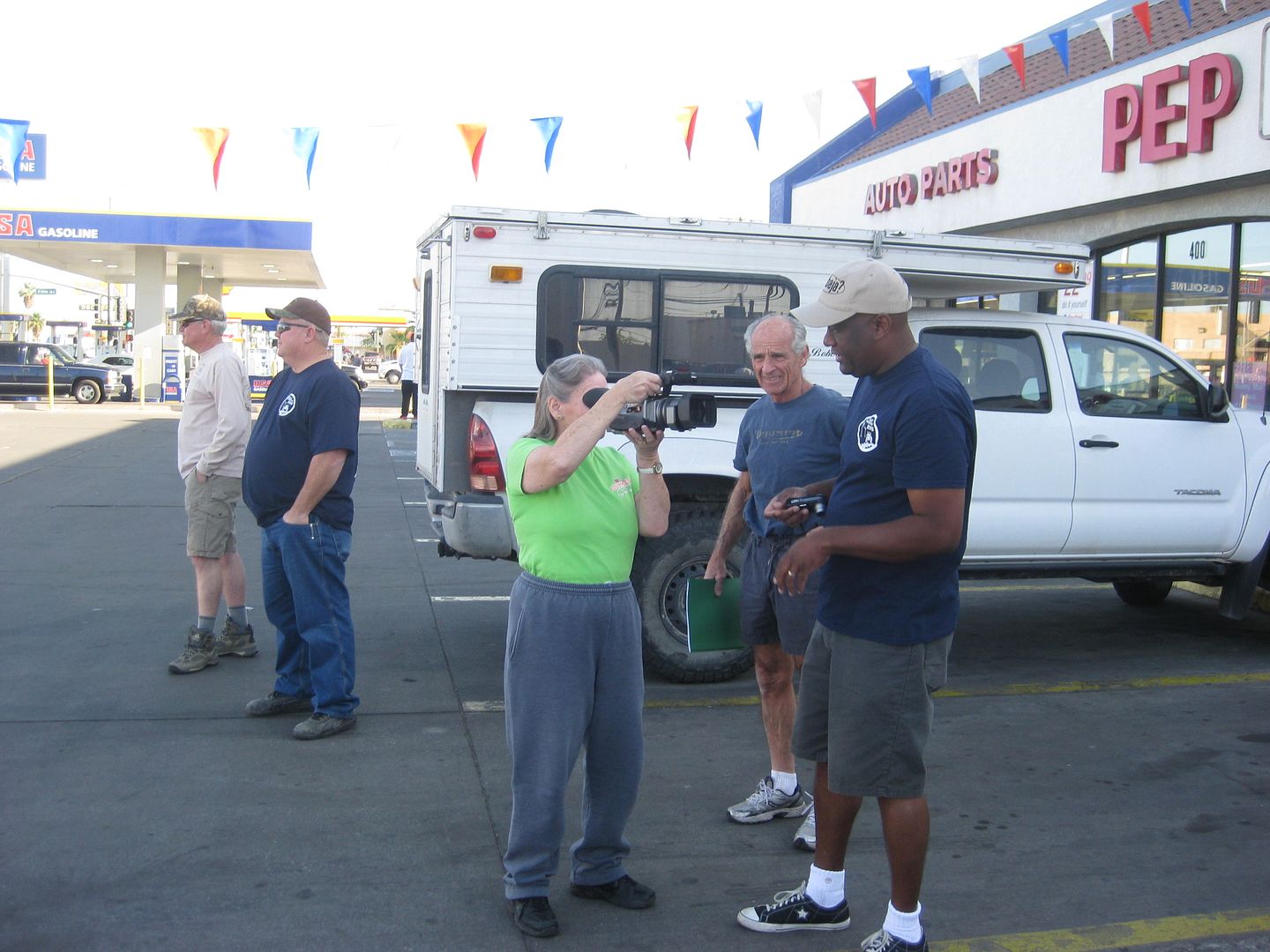
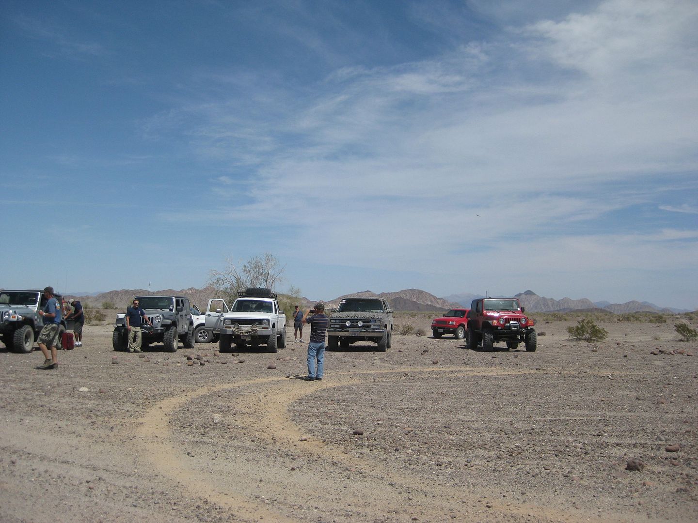
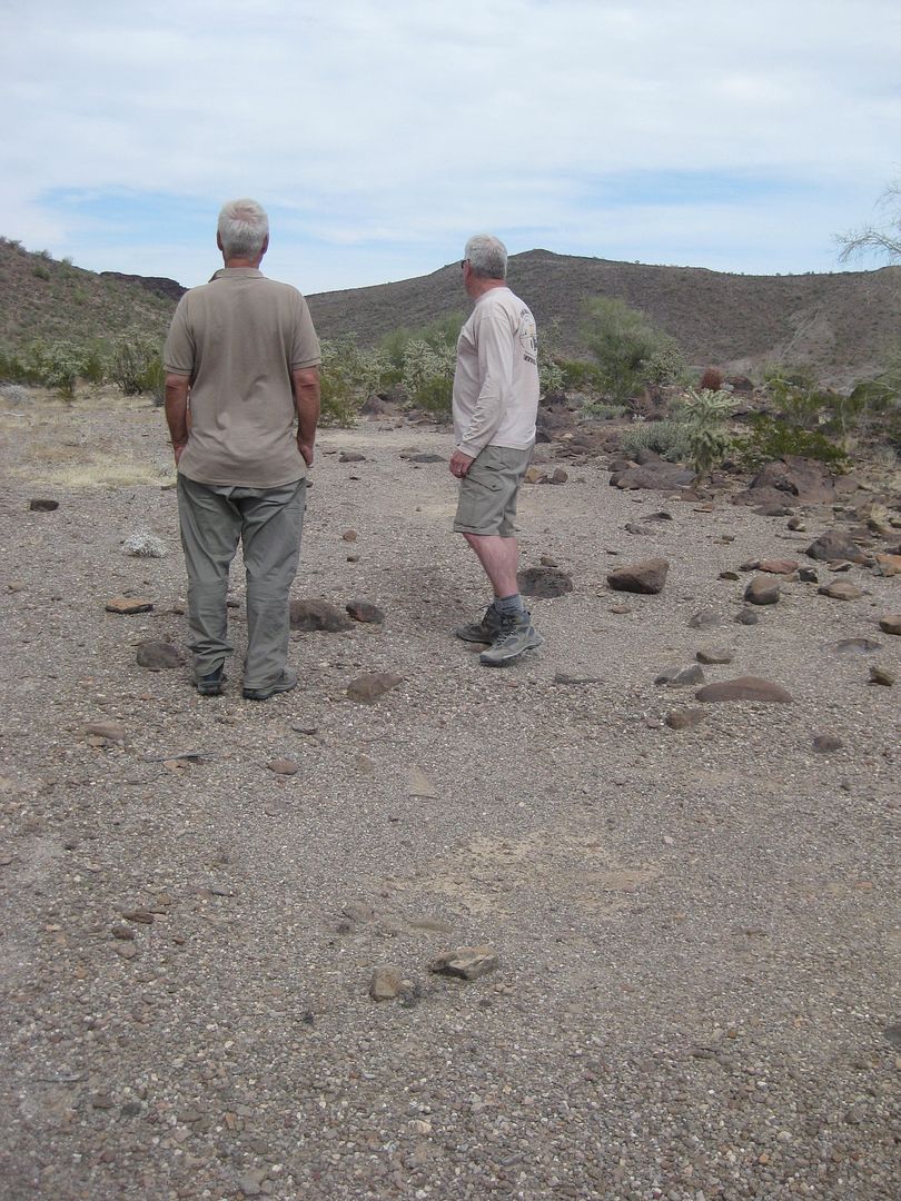
Ken is interviewed at the Calexico meeting location, 8:15 am SAT.
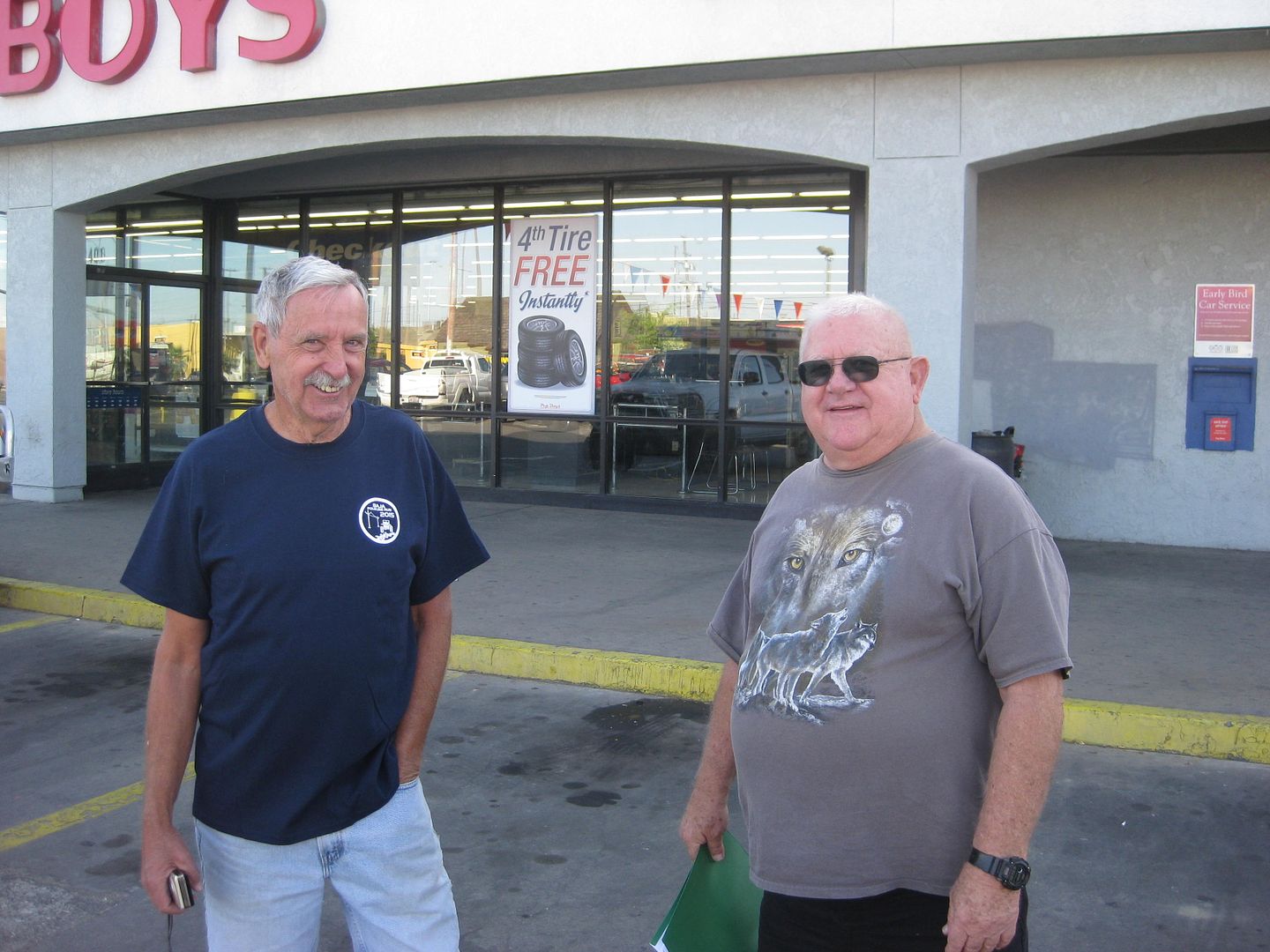
Jonn M and TW (TMW) are ready!
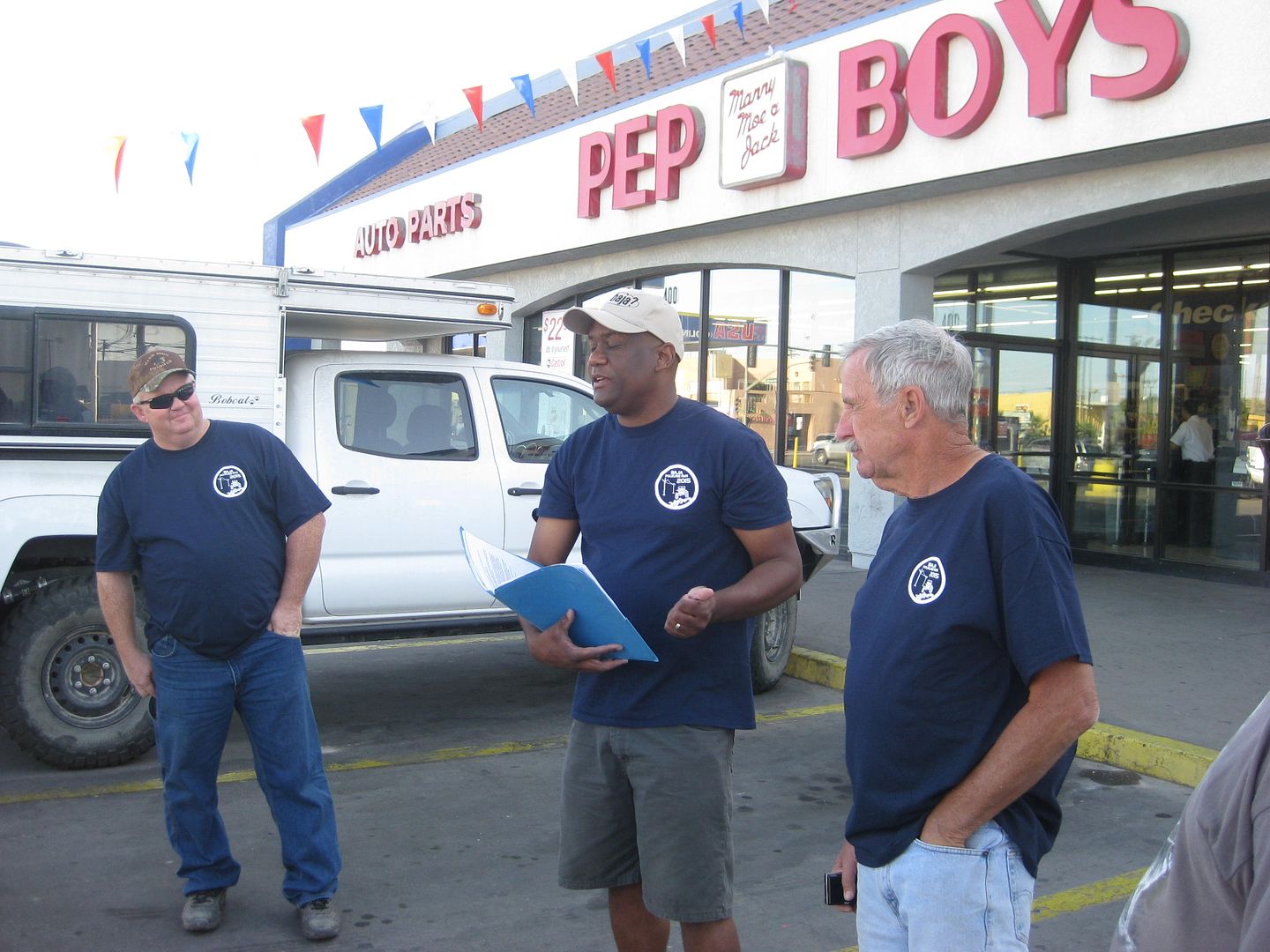
ehall and the rest listen to Ken's driver's meeting notes.
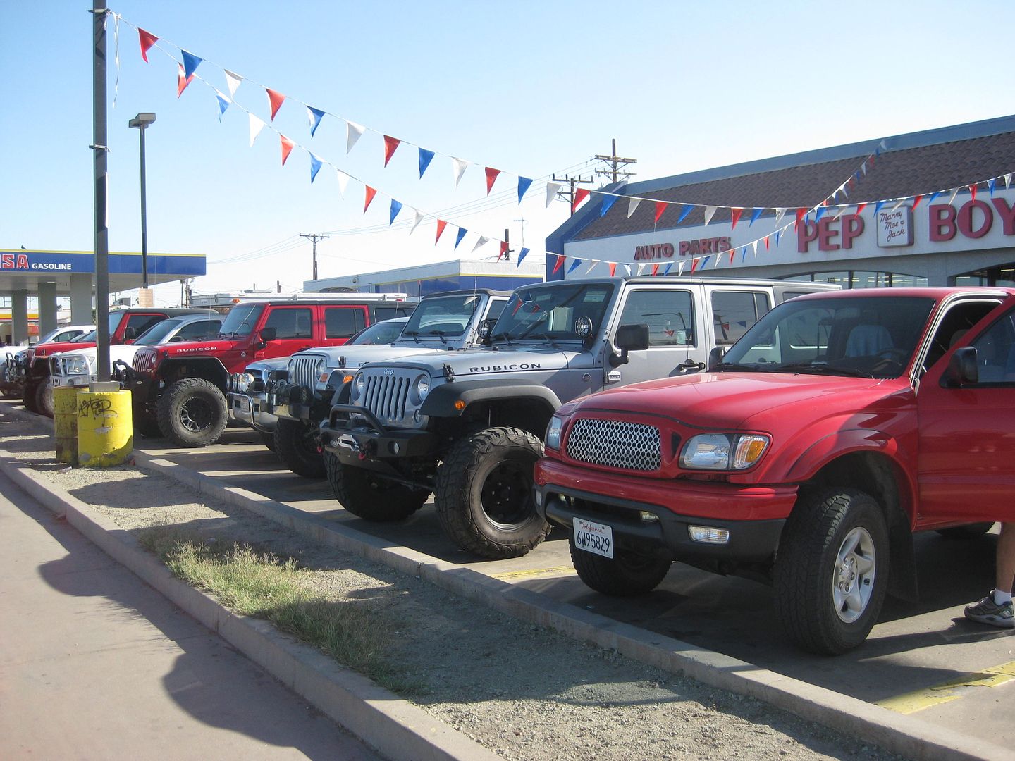
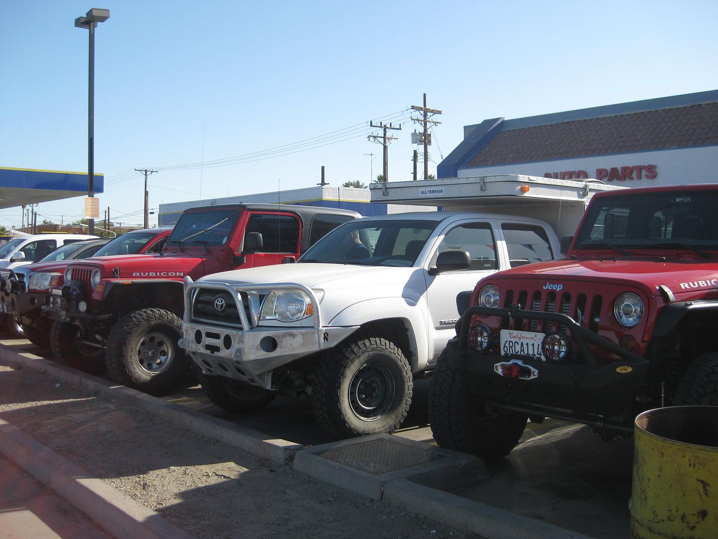
These vehicles will not be so clean in a few hours!

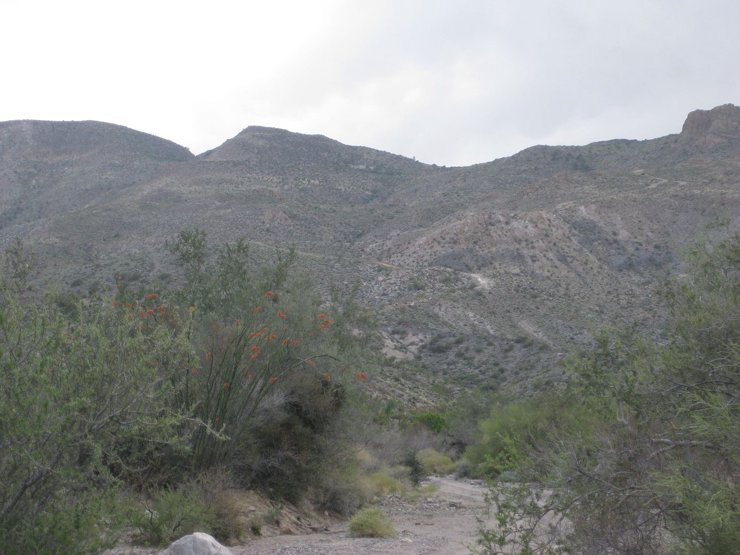
LAGUNA SALADA
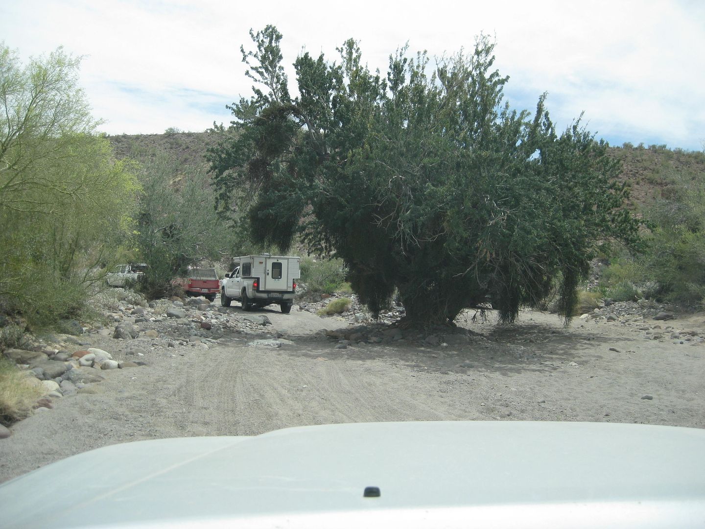
Heading south to Cohabuzo Junction
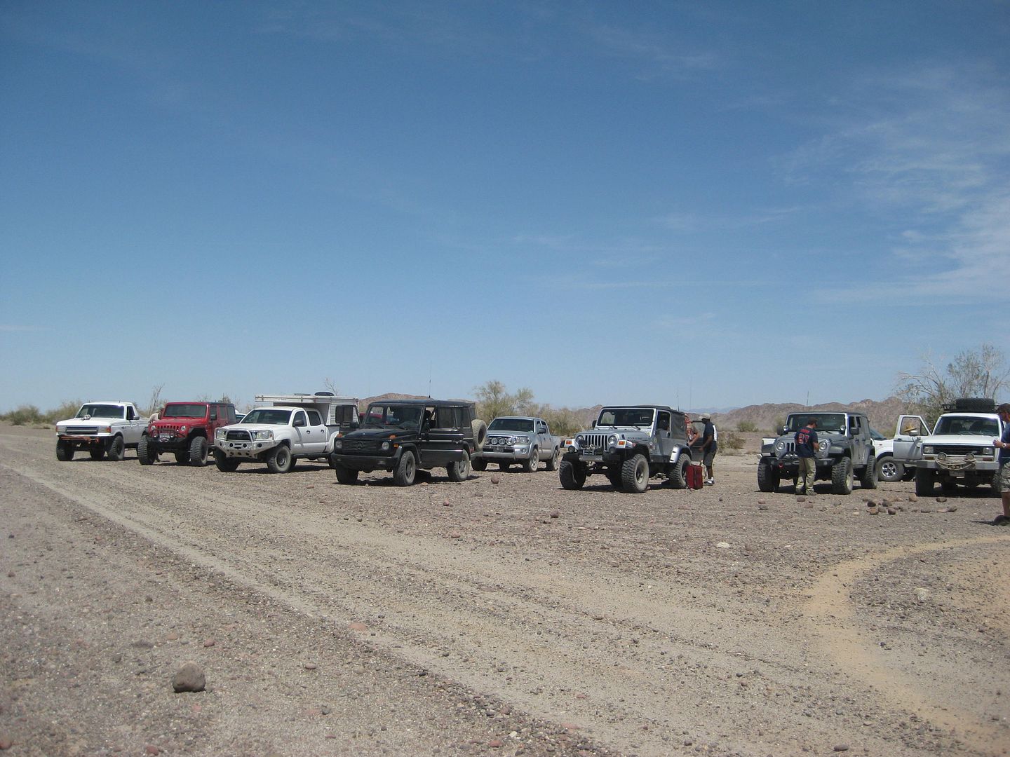
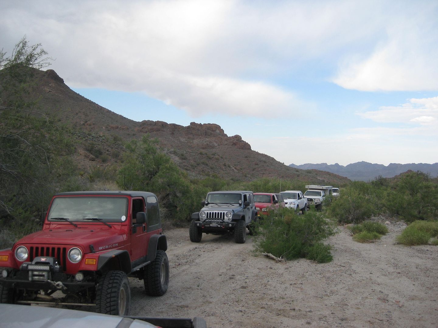
All together now at Cohabuzo Junction.
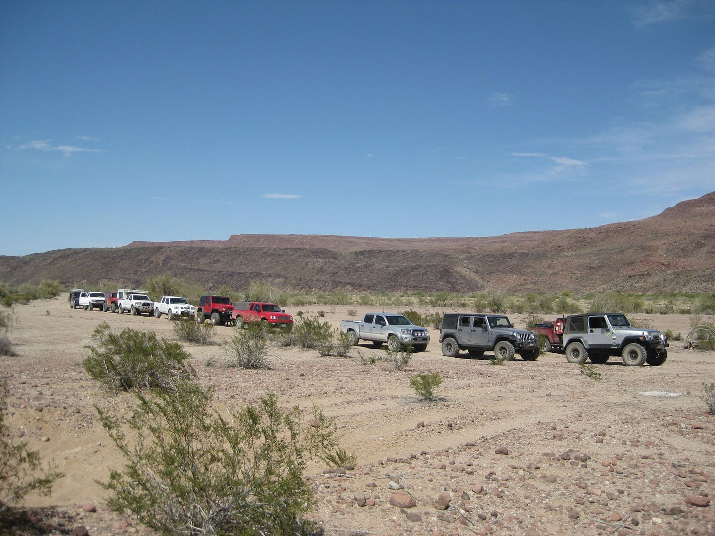
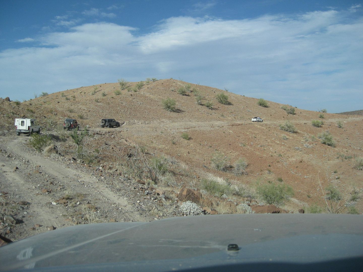
Looks like we have a convoy!
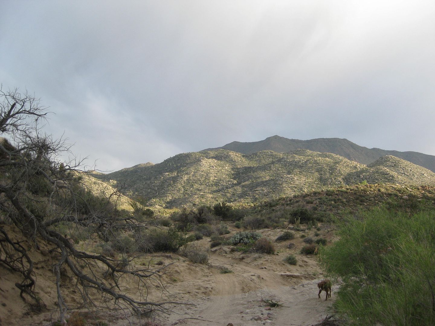
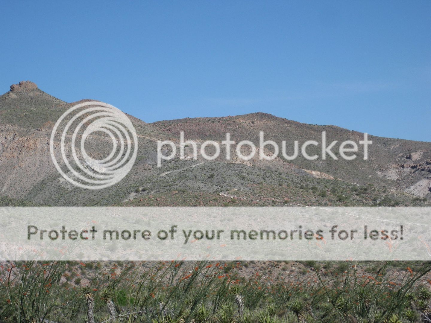
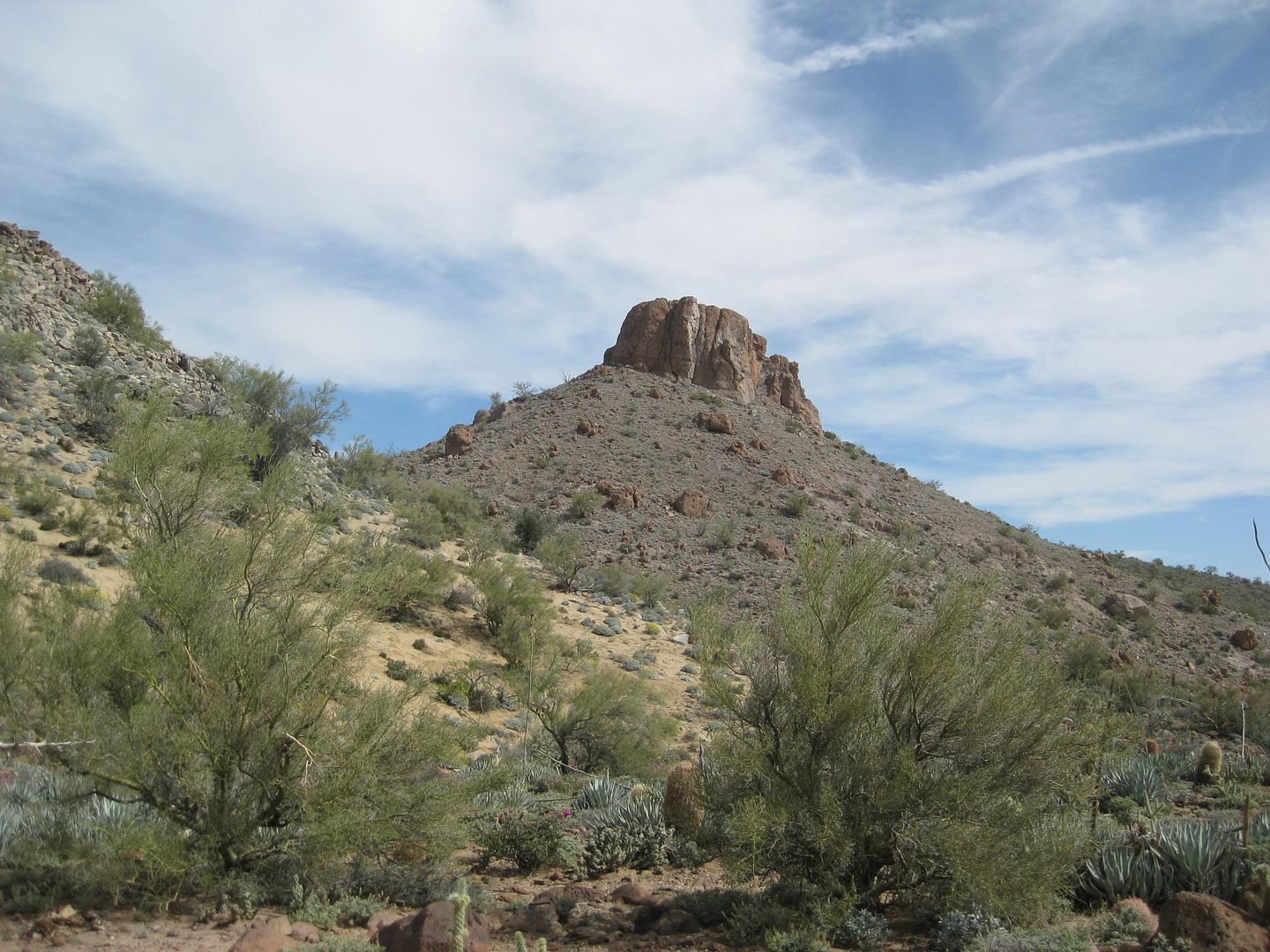
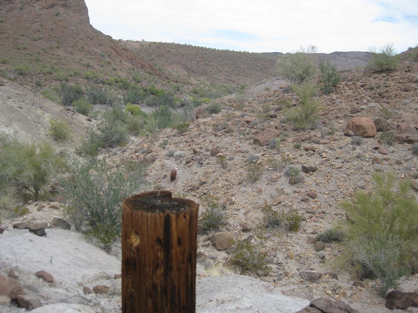
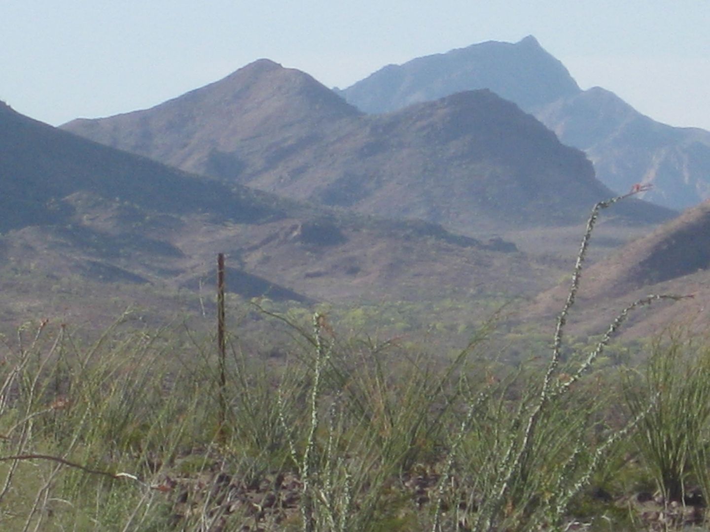
The SUMMIT part of the Pole Line Road as seen from the bottom.
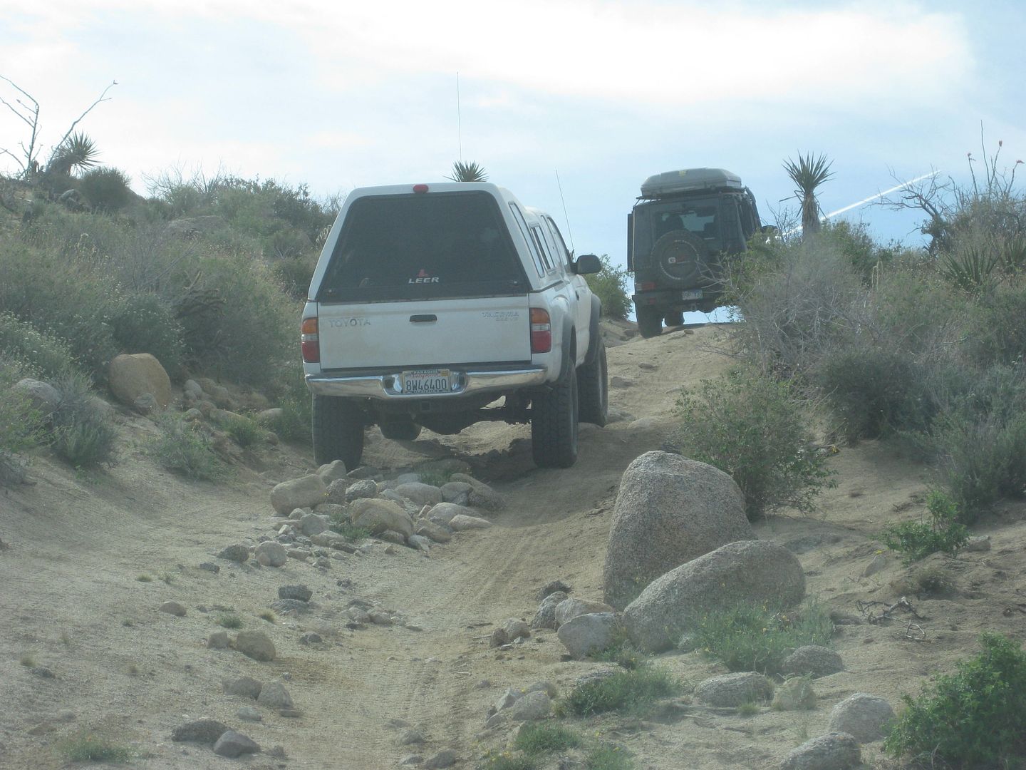
This first gate is easily opened (and closed after us), but soon after was the locked gate.
This is the detour road looking south from where we camped.
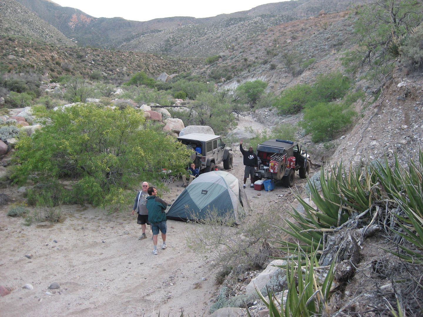
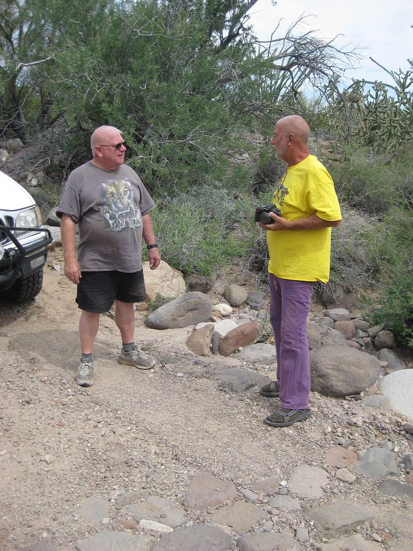
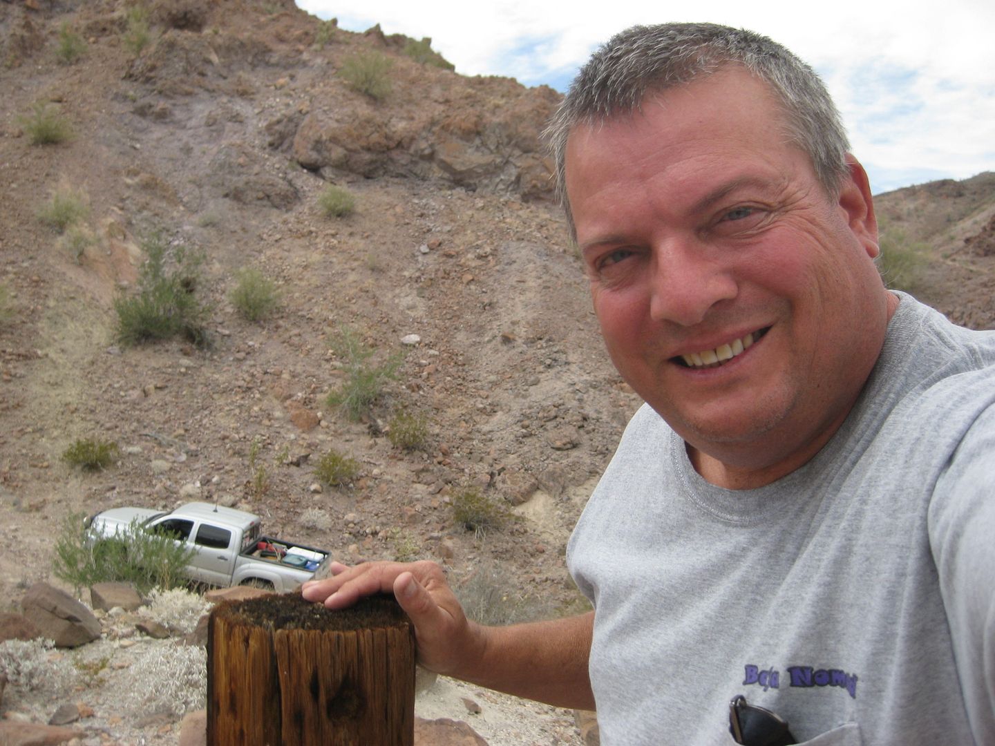
TW, FrigateBird, Ken Cooke
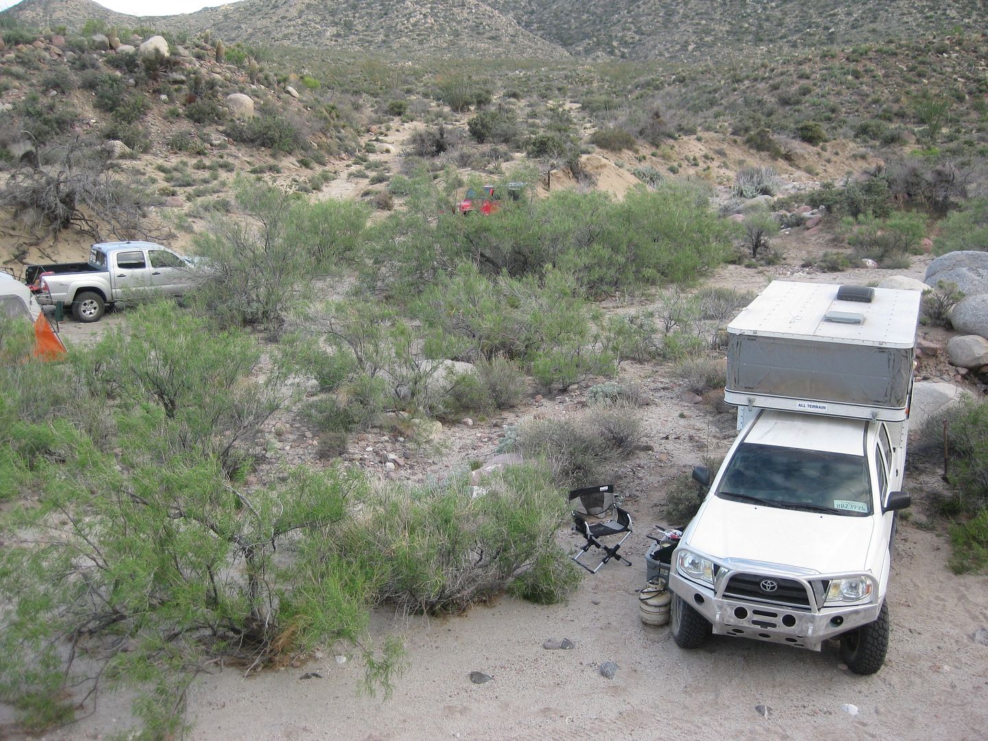
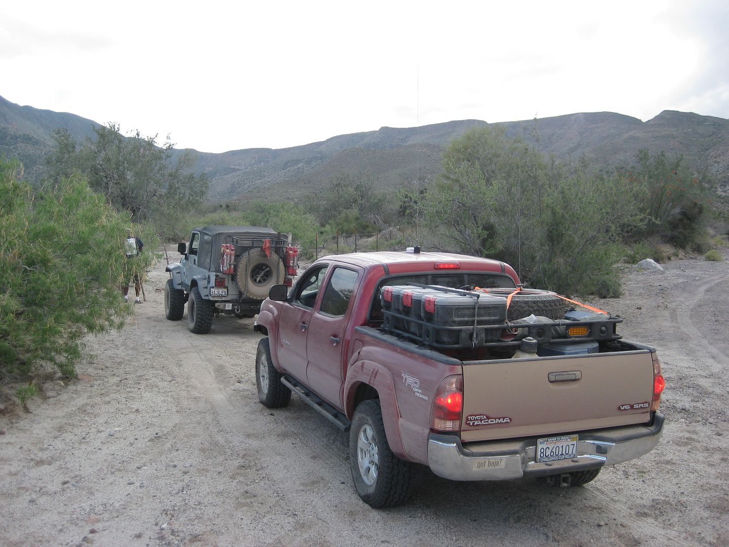
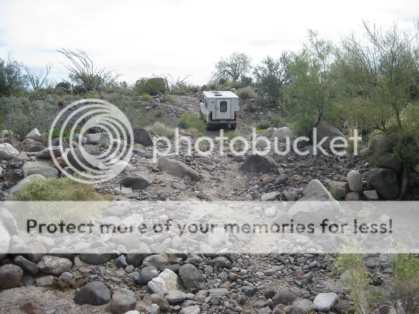
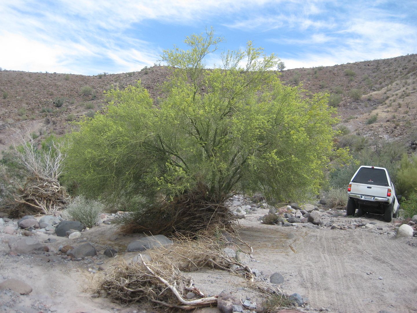
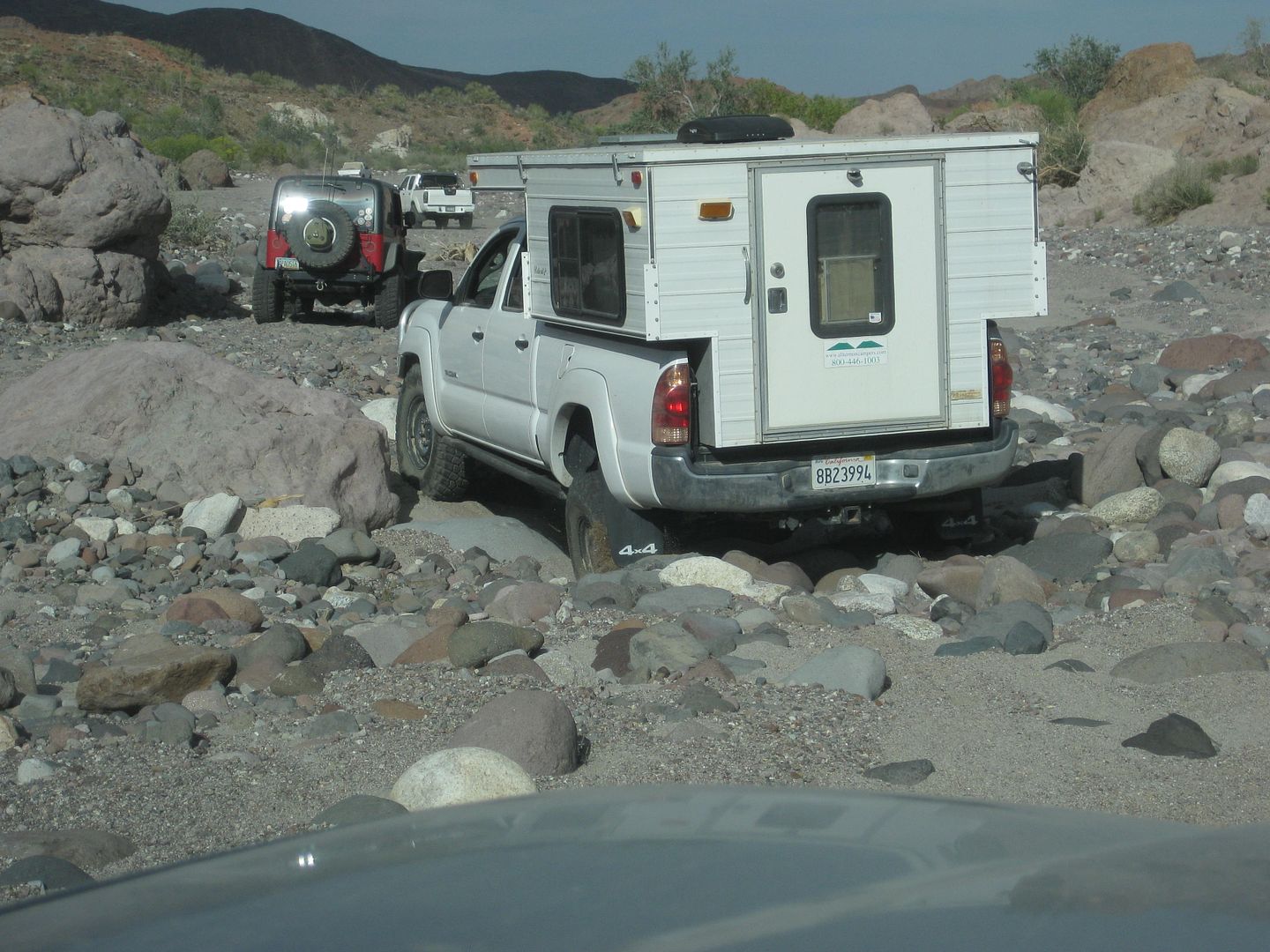
FrigateBird's white Tacoma with pop up camper, and mine nearby.
My Insta-tent, and then TW's white Tacoma.
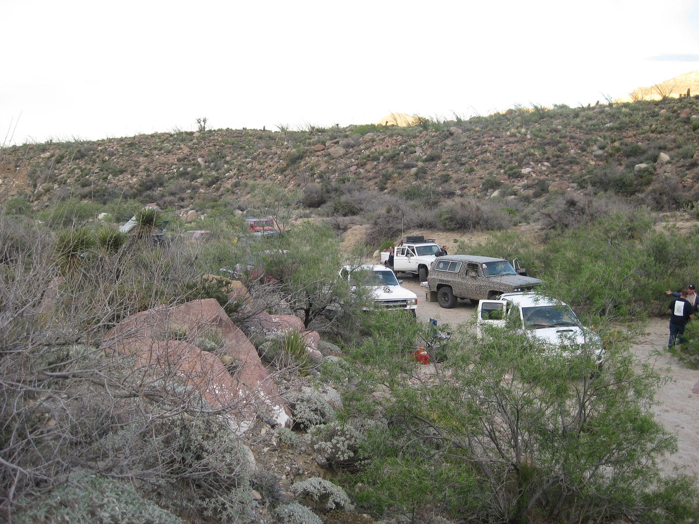
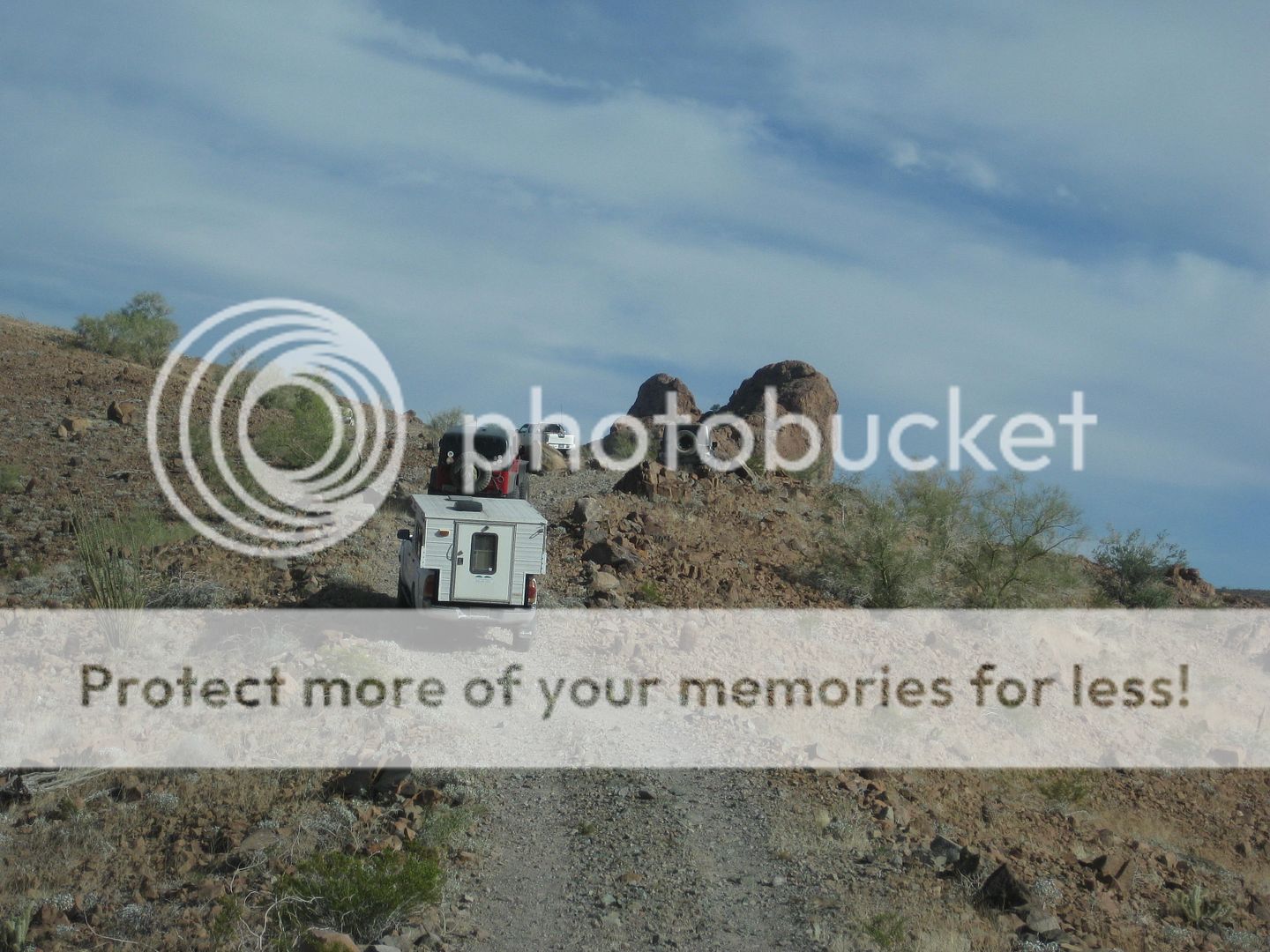
The rest of the group I could see from the hillside I climbed up on.
That's it for Day 1 photos. I will try and create some satellite view images of where we traveled... stay tuned for them and the next day's adventure.
[Edited on 4-19-2015 by David K]
|
|
|
David K
Honored Nomad
Posts: 65563
Registered: 8-30-2002
Location: San Diego County
Member Is Offline
Mood: Have Baja Fever
|
|
I woke up this morning and realized I forgot to mention my close encounter of the third kind with a cholla!
MICK had a CB radio and magnetic antenna for me to use, at Cohabuzo Junction. The hand held unit from TW was only good while we were all close
together, but on the lake bed and south we spread out to avoid dust.
With low tree branches, the magnetic mount antenna got knocked off. When I got out to replace it, and stepped back down, my foot went into a low
cholla I didn't see before. The needles went into my foot, with one going in about 3/4"! OUCH!!
For a few minutes I was incapacitated, but eventually pulled the needles out. So, just a short delay and a learning lesson... Don't just look for
snakes when you jump off your truck, but chollas, too!
|
|
|
ehall
Super Nomad
Posts: 1906
Registered: 3-29-2014
Location: Buckeye, Az
Member Is Offline
Mood: It's 5 o'clock somewhere
|
|
No picture of the big rock that jumped up and bit your rocker panel? Nice pictures. Zoom way in and it will give good details.
https://share.delorme.com/edhall best if opened in chrome.
|
|
|
David K
Honored Nomad
Posts: 65563
Registered: 8-30-2002
Location: San Diego County
Member Is Offline
Mood: Have Baja Fever
|
|
Oh, very cool... thanks. I see now how far you guys went trying to reach Ejido Saldaña before turning back and headed for the wells and La Ventana!
Ed, how far apart (time wise) are the dots in the route line?
[Edited on 4-9-2015 by David K]
|
|
|
David K
Honored Nomad
Posts: 65563
Registered: 8-30-2002
Location: San Diego County
Member Is Offline
Mood: Have Baja Fever
|
|
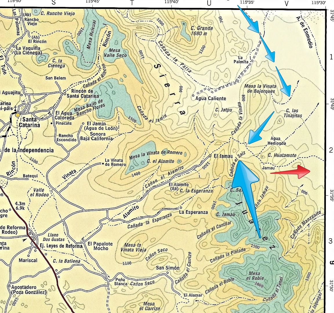
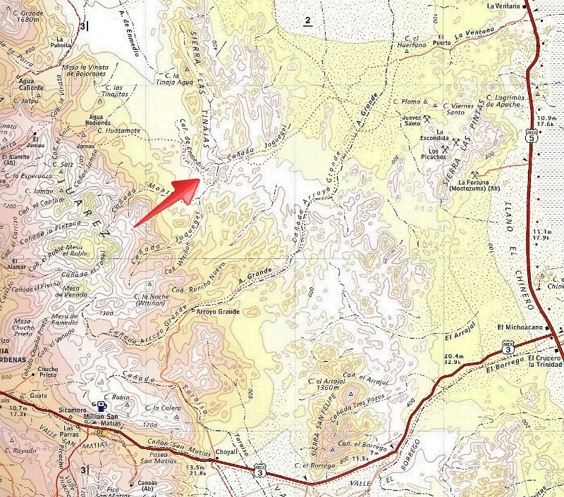
Small blue arrows is our route Saturday with the big arrow pointing to our camp location, just south of the summit bottom. Red arrow is our route on
Sunday, on the Pole Line Road
|
|
|
ehall
Super Nomad
Posts: 1906
Registered: 3-29-2014
Location: Buckeye, Az
Member Is Offline
Mood: It's 5 o'clock somewhere
|
|
The dots are supposed to be every 10 minutes if there is a good signal. It usually misses alot of points when it is inside the jeep.
|
|
|
ehall
Super Nomad
Posts: 1906
Registered: 3-29-2014
Location: Buckeye, Az
Member Is Offline
Mood: It's 5 o'clock somewhere
|
|
If you click on the dots you can get elevation and speed.
|
|
|
David K
Honored Nomad
Posts: 65563
Registered: 8-30-2002
Location: San Diego County
Member Is Offline
Mood: Have Baja Fever
|
|
Thanks Ed!
|
|
|
David K
Honored Nomad
Posts: 65563
Registered: 8-30-2002
Location: San Diego County
Member Is Offline
Mood: Have Baja Fever
|
|
DAY 2, Easter Sunday April 5, 2015
Mile 73.8, CAMP 1, Leave at 9 AM.
Mile 74.1, Top of detour track, make a near U-turn and head back down towards the Pole Line Road, somewhere beyond the locked gate.
Mile 74.6, reach the 1942 POLE LINE ROAD, turn right (east). Reset odometer to 0.0.
Mile 0.4, new looking road in from right (South Summit Grade Road).
Mile 0.5, road to left, continue ahead.
Mile 0.8, high point in road, descend into another valley.
Mile 2.2, left at Y in road. (Jamau Canyon Summit Road)
Mile 3.2, fence gate, open and reclose after we pass through, 10:22 am.
Mile 4.1, bad arroyo crossing, 10:47 am.
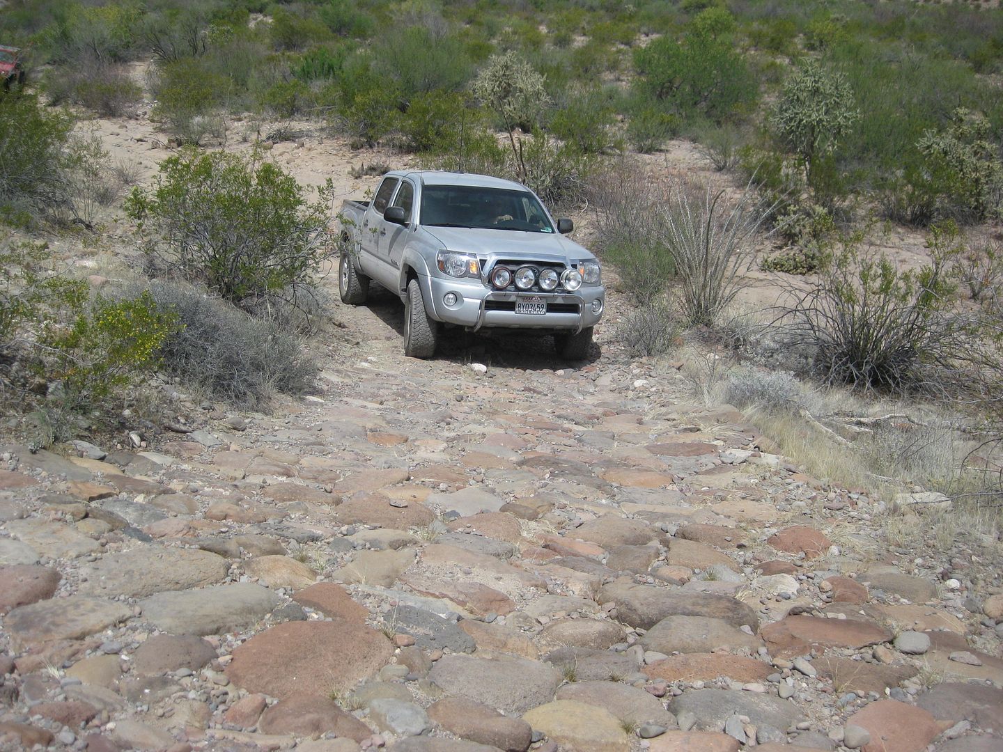
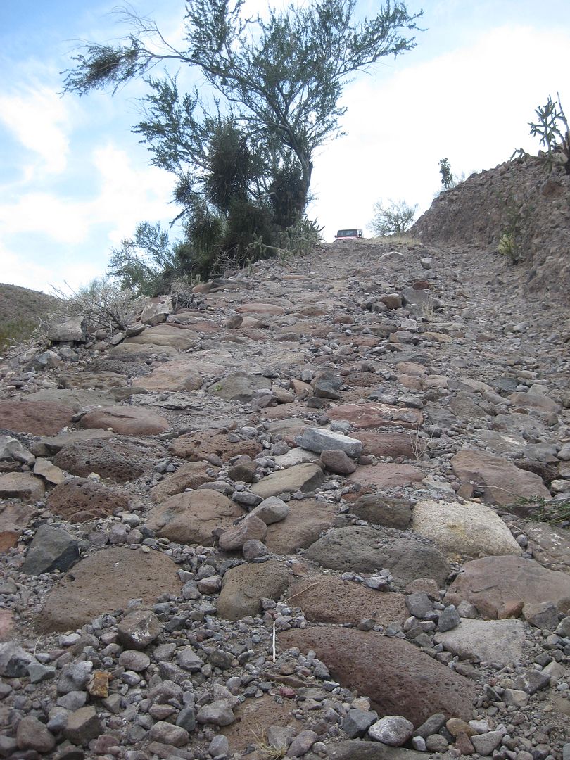
Mile 5.2, first cobblestone in roadbed seen.
Mile 5.9, white water tank.
Mile 8.2, big cobblestone paved down grade.
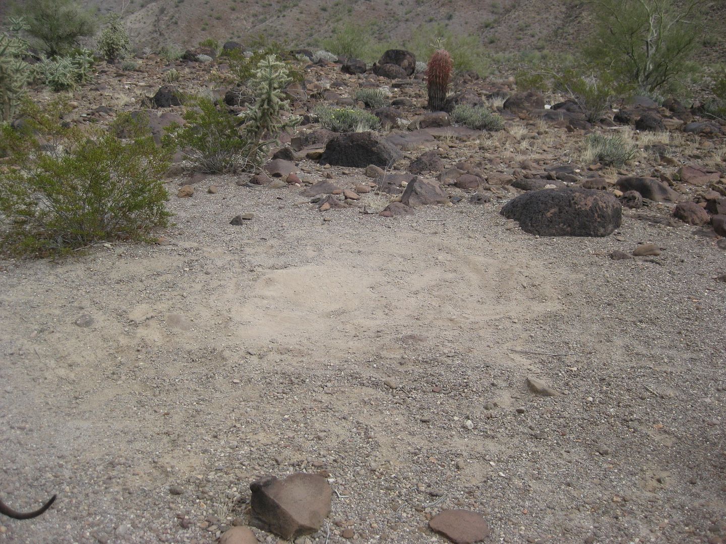
Mile 8.5, possible 1942 construction camp site.
Mile 8.7, small cobblestone up grade, 12:03 pm.
Mile 9.1, cross arroyo to north side.
Mile 9.6, back on south side.
Mile 9.9, lunch stop, leave at 1:14 pm.
Mile 10.0, right turn up to side of wash then back.
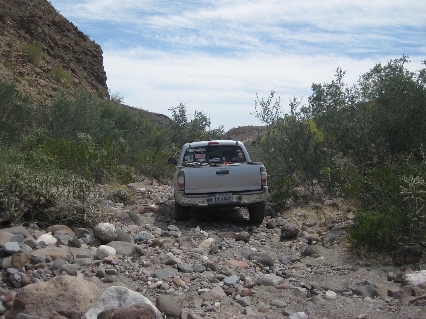
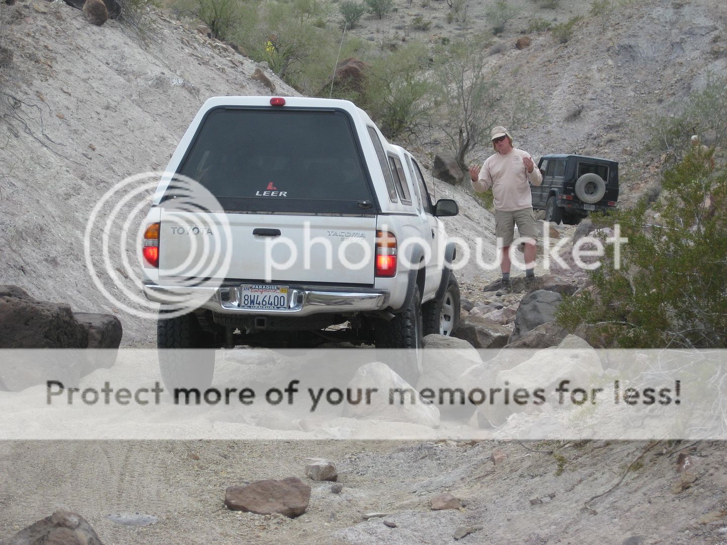
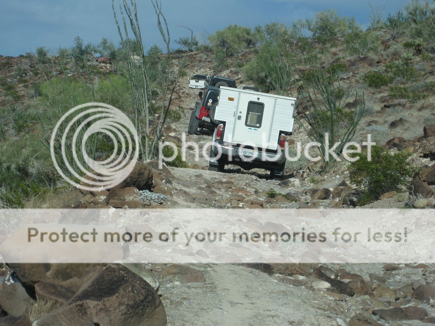
Mile 10.9, obstacle, 2:18 pm.
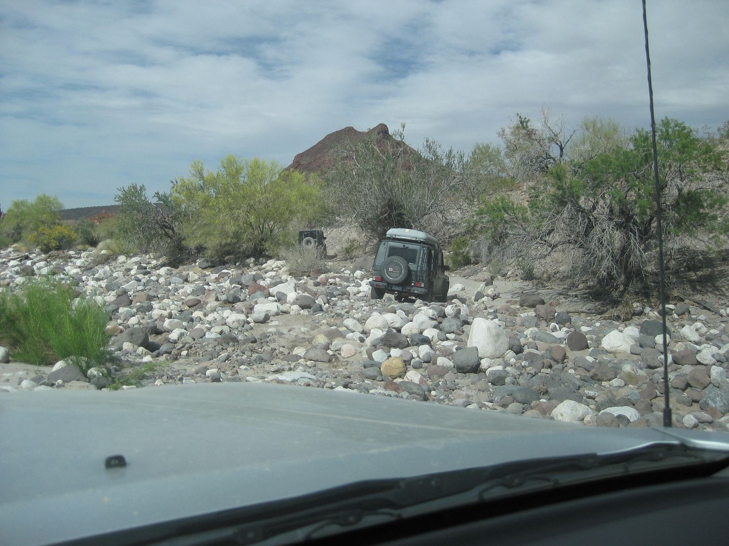
Mile 11.1, leave Arroyo Enmedio to the south, 2:33 pm.
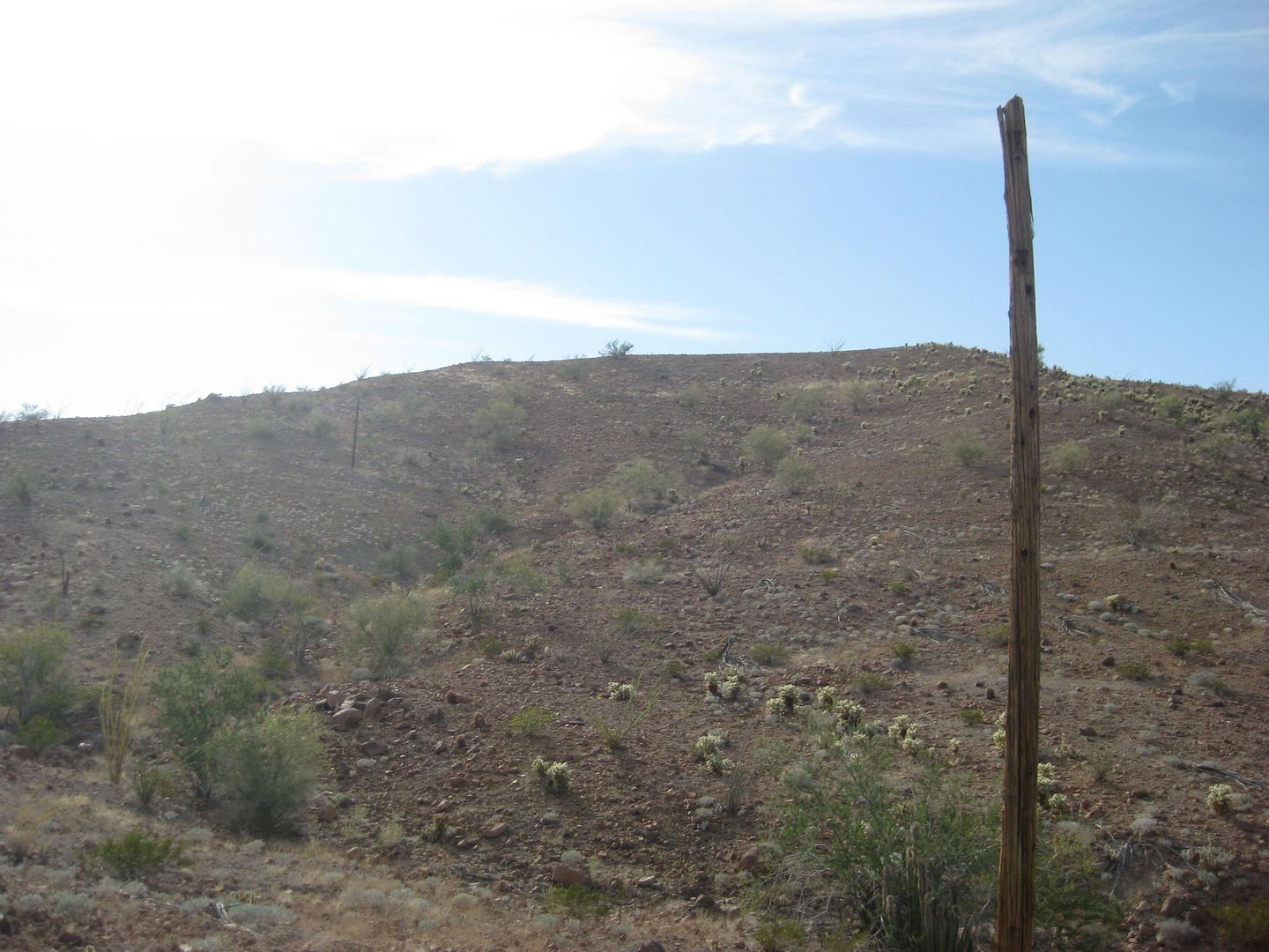
Mile 11.2, side canyon with sawed off phone poles, climb Basketball Hill.
Mile 11.3, high point (top of Basketball Hill), 3:04 pm.
Mile 12.7, cobblestone paved down grade, 3:35 pm.
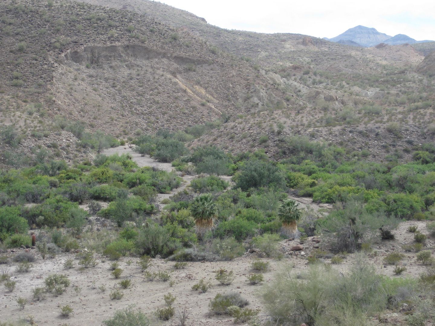
Mile 12.8, Arroyo Jaquegel (Jaquejel) with some palm trees just south. Road climbs out soon.
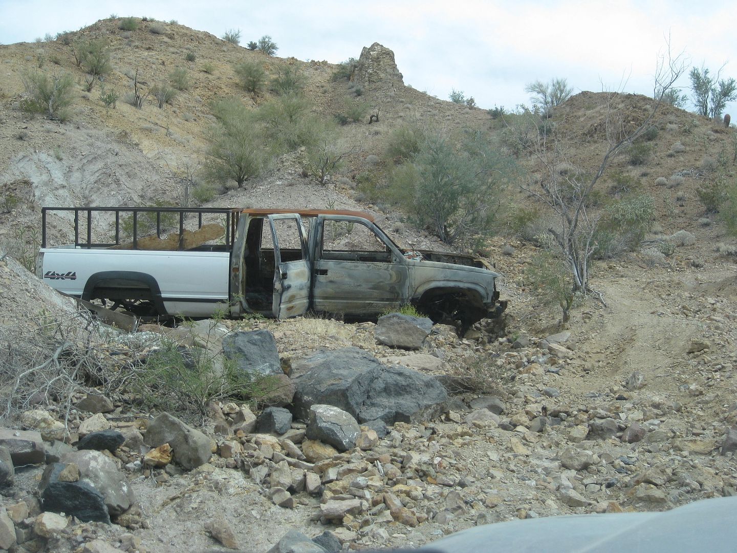
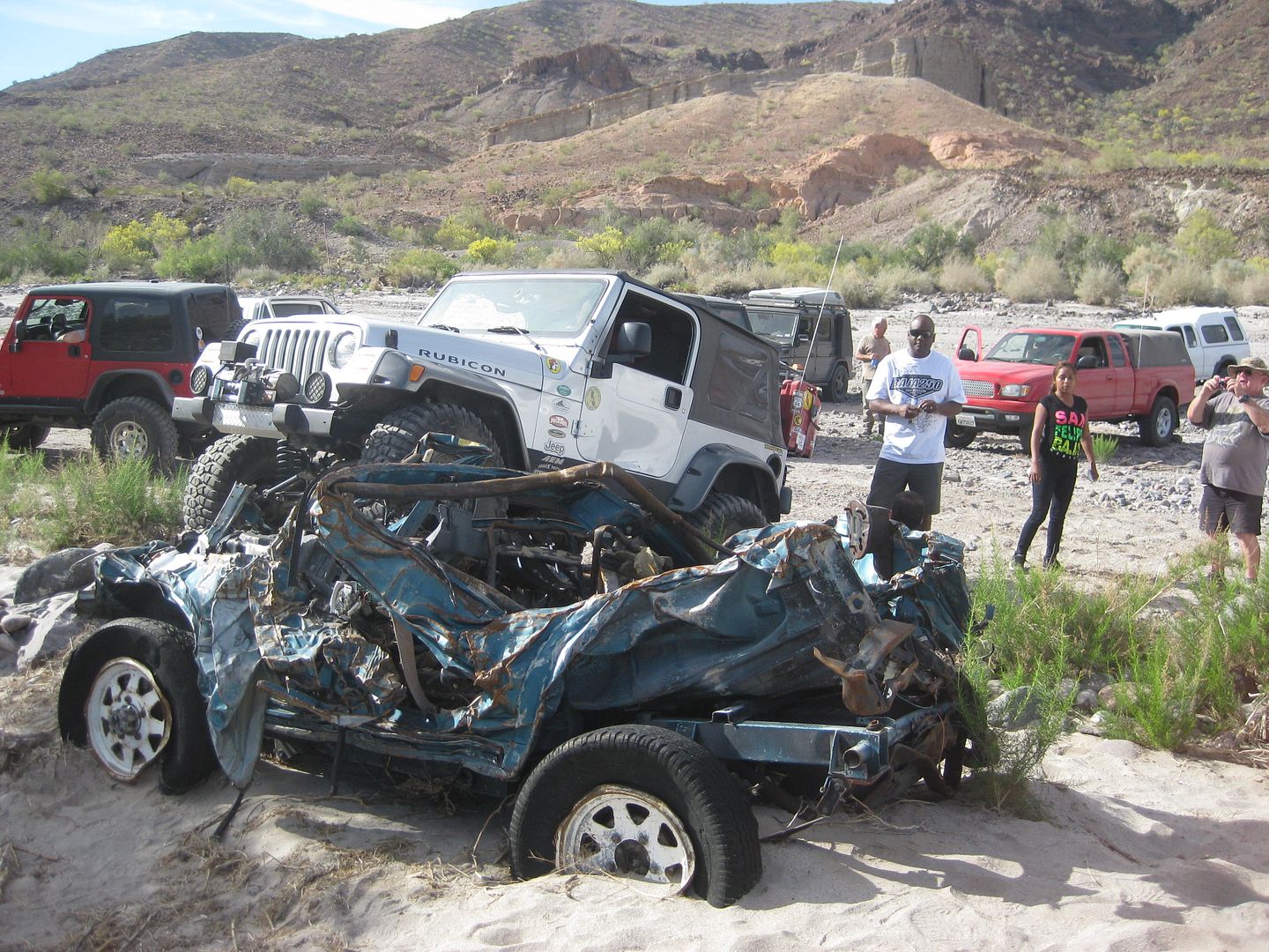
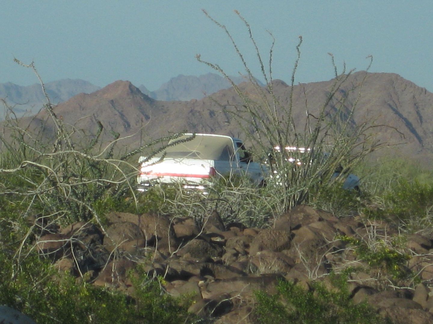
Mile 15.7, Arroyo Jaquegel again, very wide, 4:17 pm. Wrecked Suzuki Samuri is 500 feet to the left (west). Road turns right and stays in Jaquegel for
nearly one mile.
Mile 16.6, leave arroyo to right. Pole Line Road cut into side of hill up ahead.
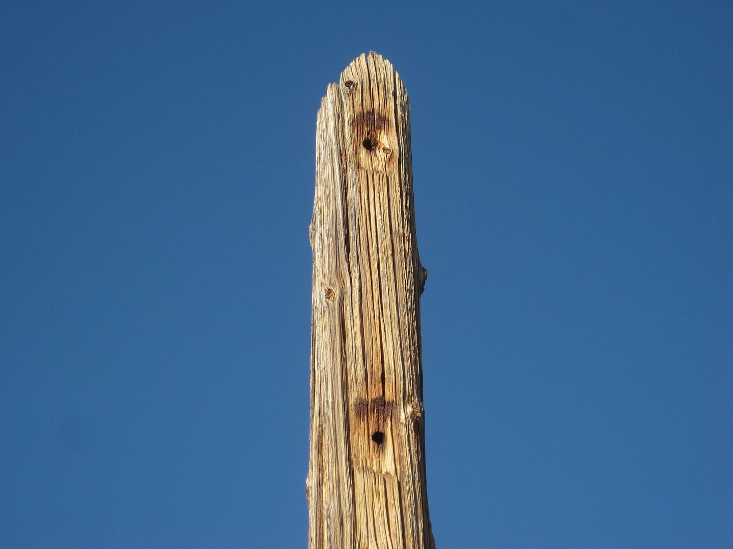
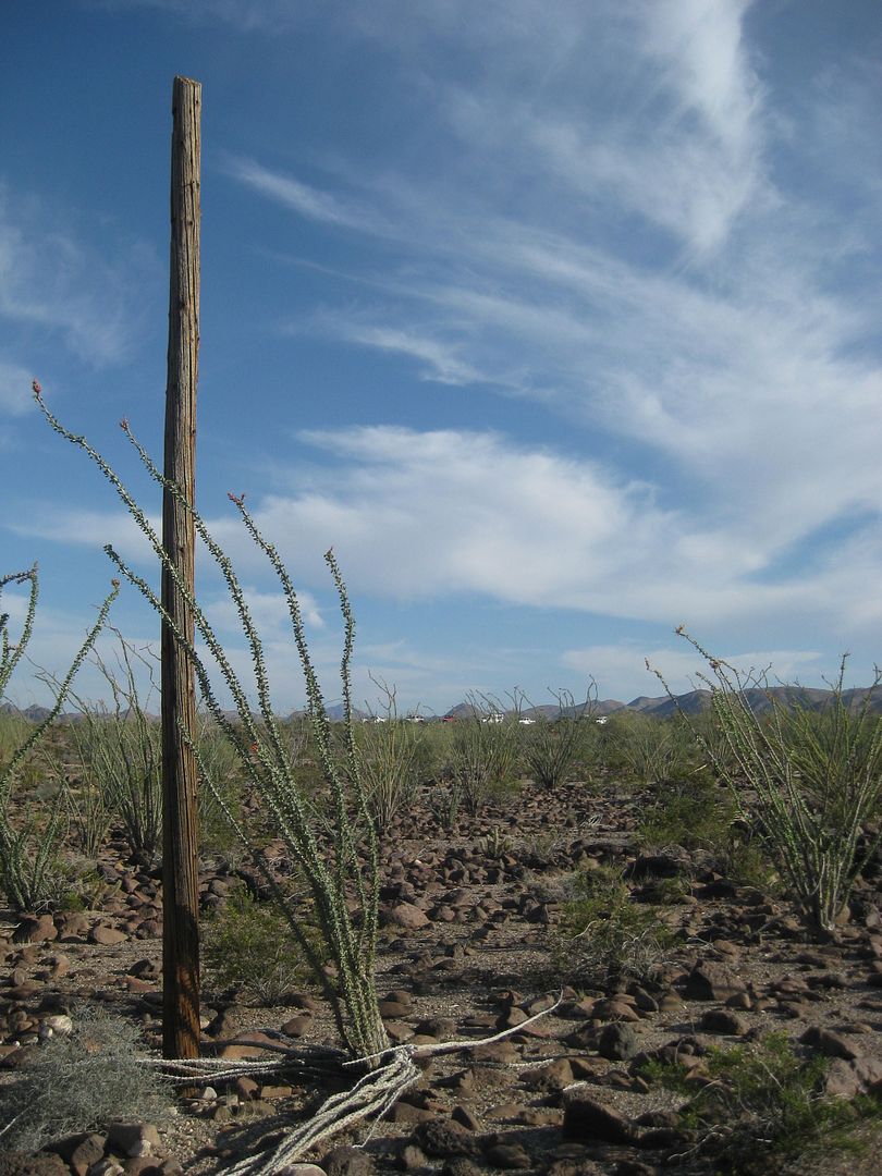
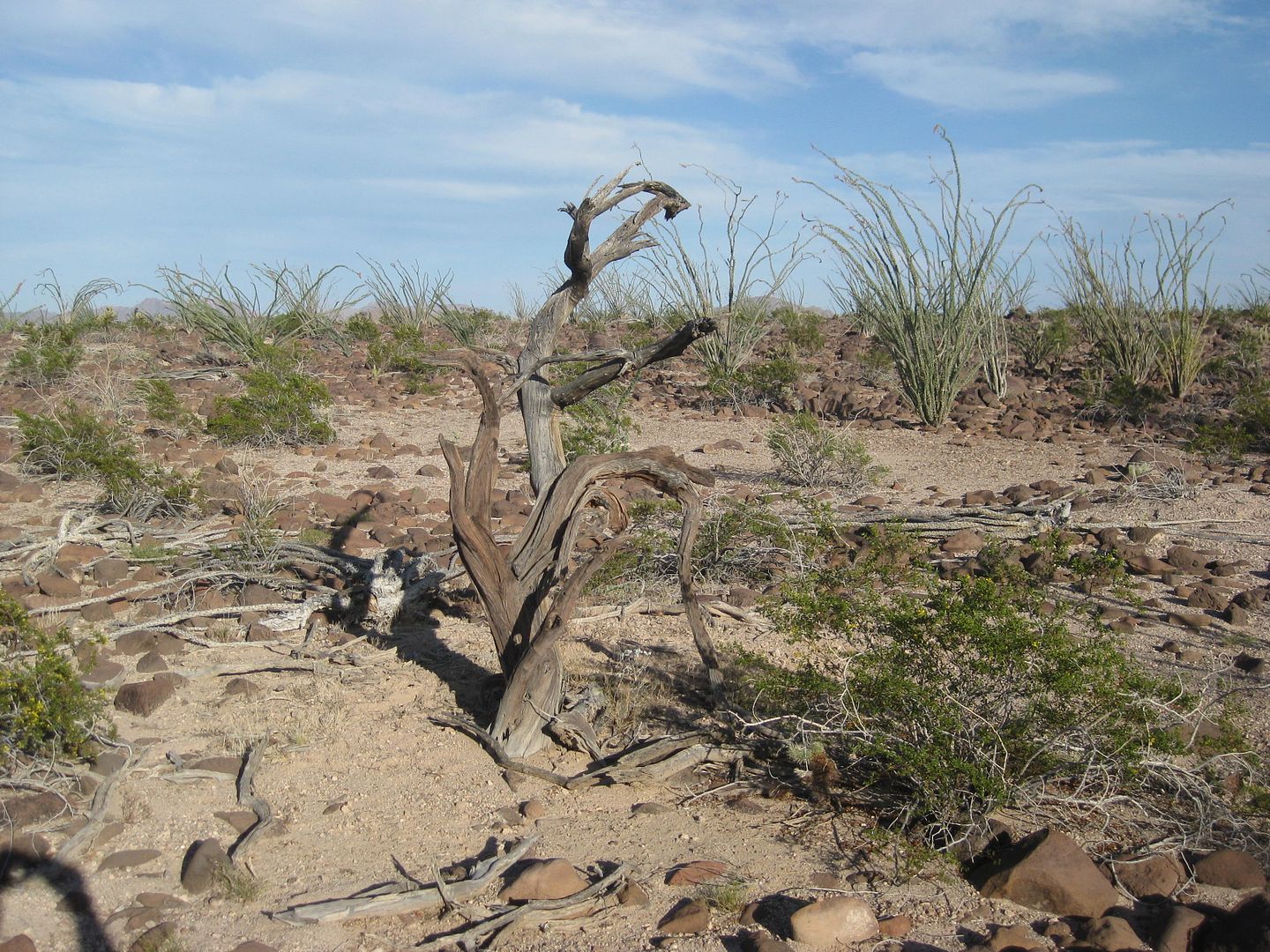
Mile 17.5, 2 full length poles to left of road. Photos.
Mile 18.1, top of Bad Hill, 5:06 pm.
Mile 18.9, several full length poles off to the left in the distance, parallel to road on this mesa.
Ford Bronco dies, no spark, coil is suspected. TW and Chuck drive back 3.3 miles to get the coil off the Suzuki. Hoping for an Easter miracle to give
new life to the Ford. I walk over to the row of standing poles and measure the distance between them. I count 315 paces (about 300 meters) between a
pair. Harald walks over and examines them with me. The Bronco is pulled after the Suzuki coil fails to fix the spark issue. It is now dark and we have
a big grade to drop down, 7:30 pm.
Mile 19.9, bottom of big grade.
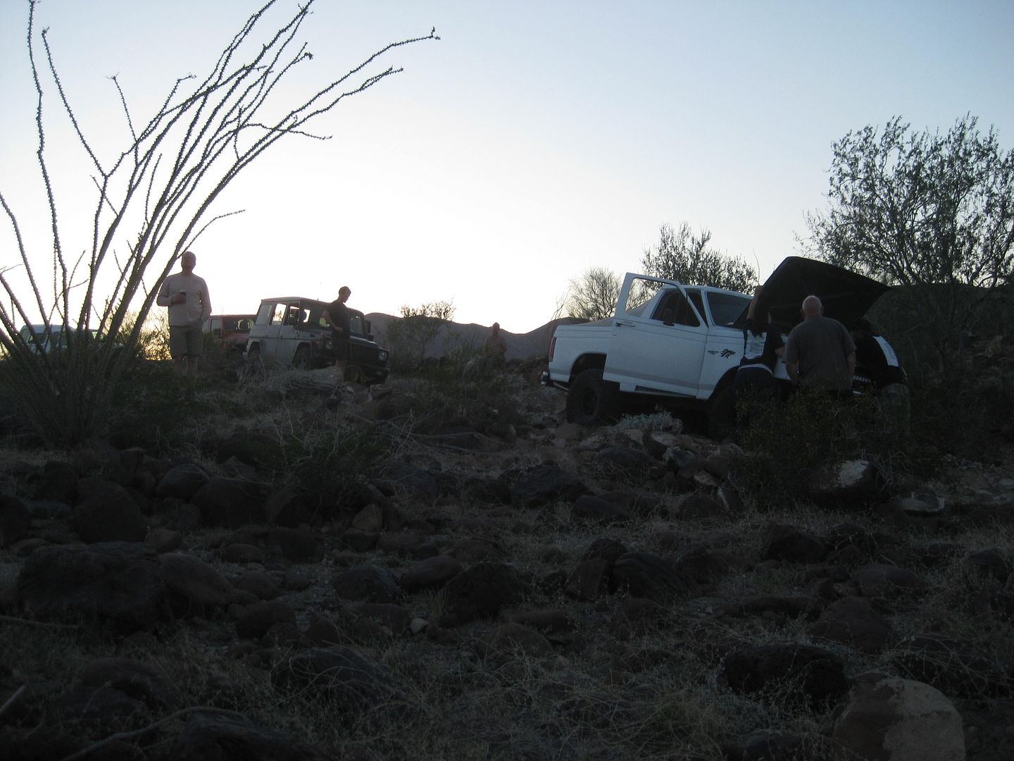
Mile 20.6, back in Arroyo Jaquegel, very wide, Ken cannot find the road out in the dark. We vote to camp in the arroyo, as there is sand and no wind,
8:11 pm.
Camp fires are made, Harald makes some awesome chili and shares it, life is good. The road out is discovered and is right where we camp
the road
dropped into the arroyo and climbed back out very soon. However, flash floods took away the ramp at the bottom and no other route out to tow the Ford
was found.
With no wind, I dont need a tent and set up my cot under the stars
finally some sleep!
END DAY 2.
On the Pole Line Road.
Another look at the Summit grade dropping down the side of the sierra.
First cobblestone paving seen.
TW and 4x4abc Harald
The lone white water tank.
Cool cobblestone roadbed made in 1942.
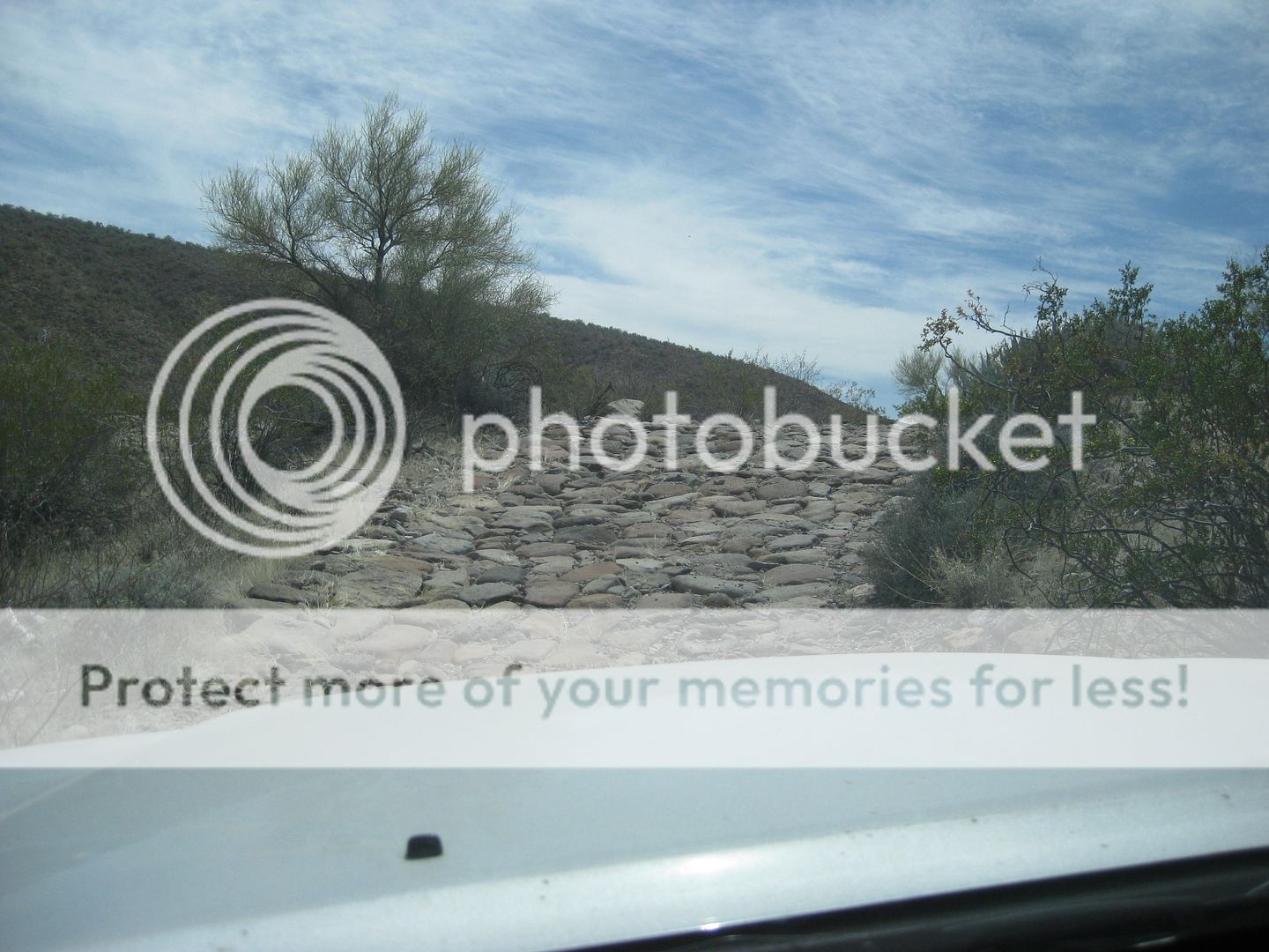
Another section of cobblestone road.
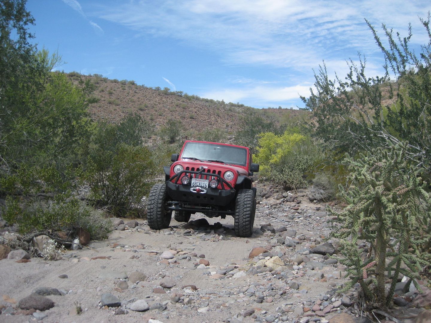
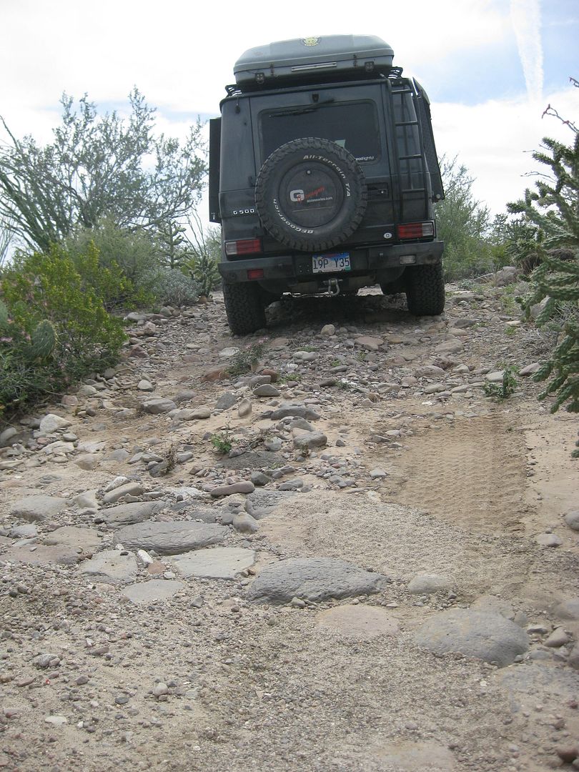
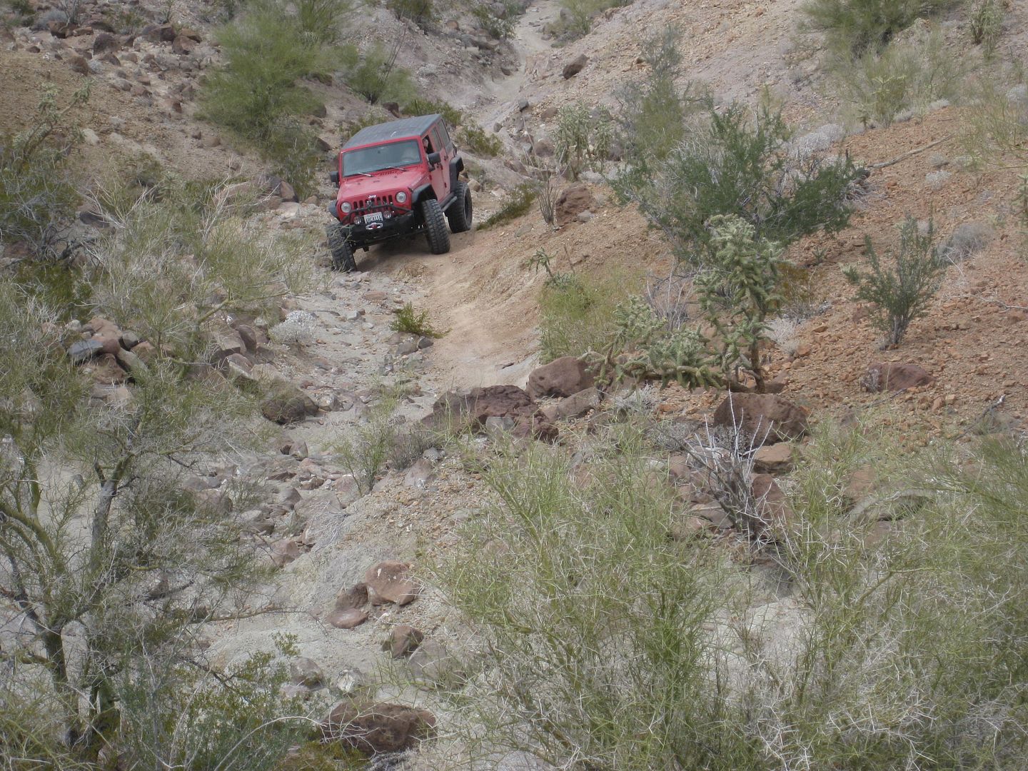
Chuck's Jeep (ChuckMRN)
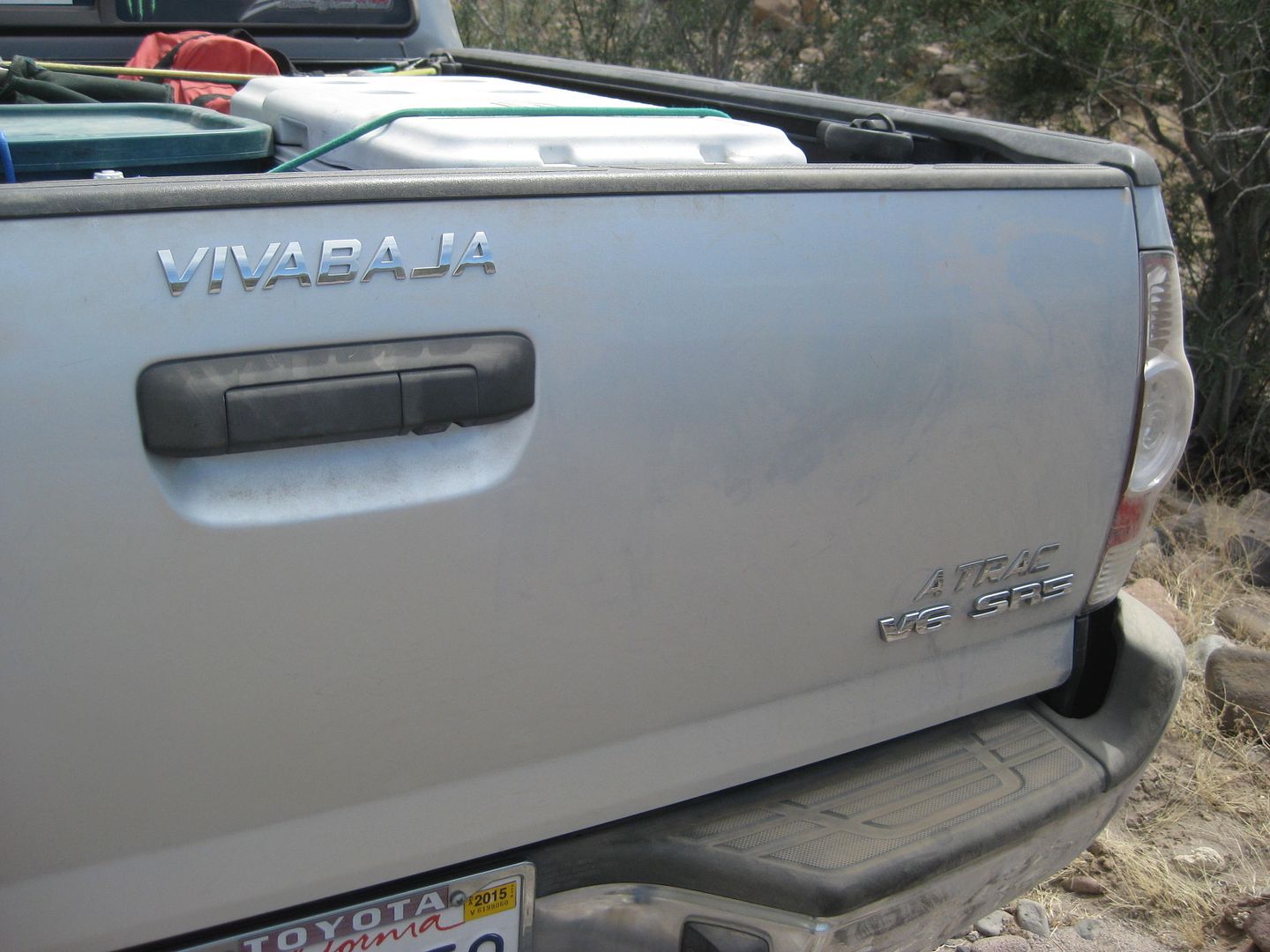
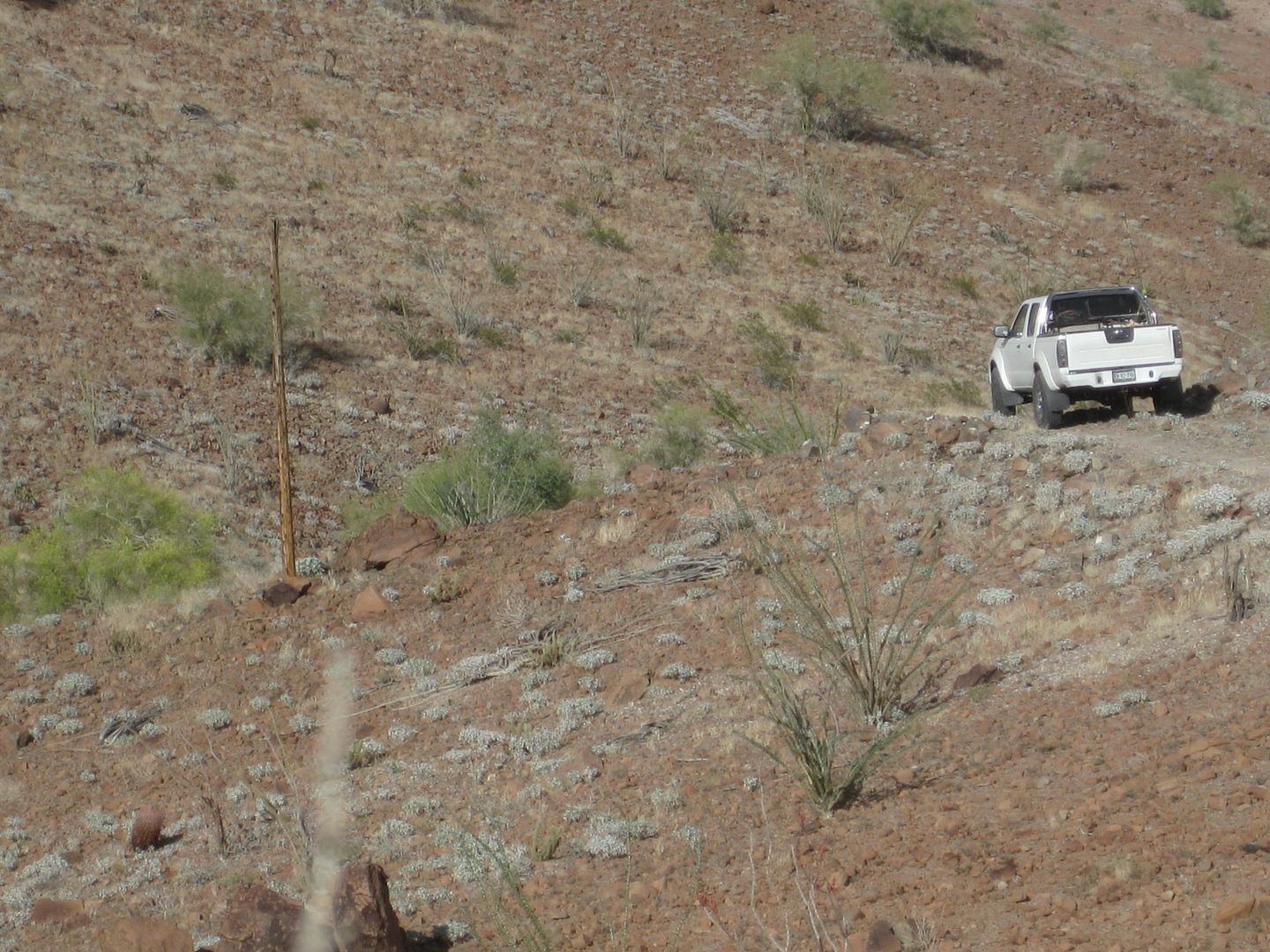
My Tacoma is the 'Viva Baja' edition, with A-TRAC!
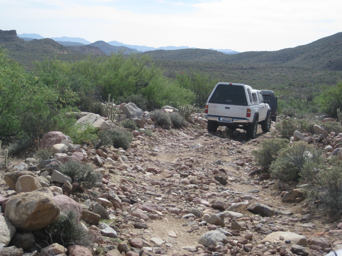
Where we stopped for lunch.
To be continued...
[Edited on 4-18-2015 by David K]
|
|
|
David K
Honored Nomad
Posts: 65563
Registered: 8-30-2002
Location: San Diego County
Member Is Offline
Mood: Have Baja Fever
|
|
Basketball Hill
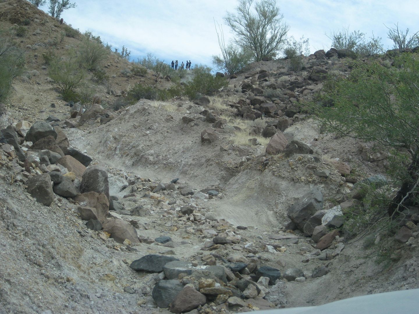
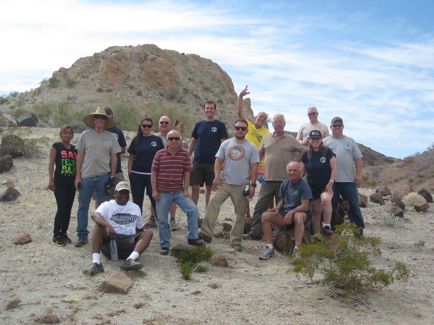
Group pic, top of Basketball Hill.
Location of Basketball Hill:
To be continued...
[Edited on 4-9-2015 by David K]
|
|
|
StuckSucks
Super Nomad
Posts: 2376
Registered: 10-17-2013
Location: Pacific Plate
Member Is Offline
|
|
I was going to ask why this is called the pole line road, but the last group of photos answered that question. The trip looks super fun!
|
|
|
Udo
Elite Nomad
Posts: 6364
Registered: 4-26-2008
Location: Black Hills, SD/Ensenada/San Felipe
Member Is Offline
Mood: TEQUILA!
|
|
Great report and super nice photos!
Udo
Youth is wasted on the young!
|
|
|
David K
Honored Nomad
Posts: 65563
Registered: 8-30-2002
Location: San Diego County
Member Is Offline
Mood: Have Baja Fever
|
|
Quote: Originally posted by StuckSucks  | | I was going to ask why this is called the pole line road, but the last group of photos answered that question. The trip looks super fun!
|
So named by Howard Gulick in his 'Lower California Guidebook', 1962:
-----------------------------------------------------------------------------------------------------
[Edited on 4-9-2015 by David K]
|
|
|
güéribo
Nomad
Posts: 239
Registered: 10-17-2014
Member Is Offline
|
|
Great pictures. Keep 'em coming!
|
|
|
David K
Honored Nomad
Posts: 65563
Registered: 8-30-2002
Location: San Diego County
Member Is Offline
Mood: Have Baja Fever
|
|
Below the top of Basketball Hill, the road comes down alongside Arroyo Jaquegel for the first time... see the palm trees?
Karl and Chuck check out a burro bath...
Here the burros roll around for a dirt bath.
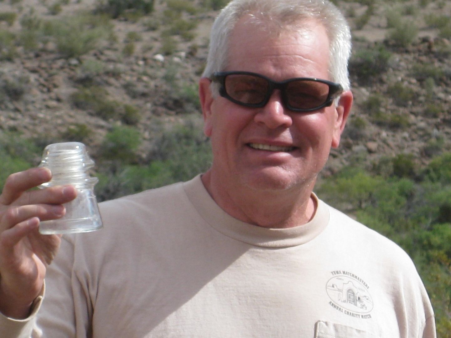
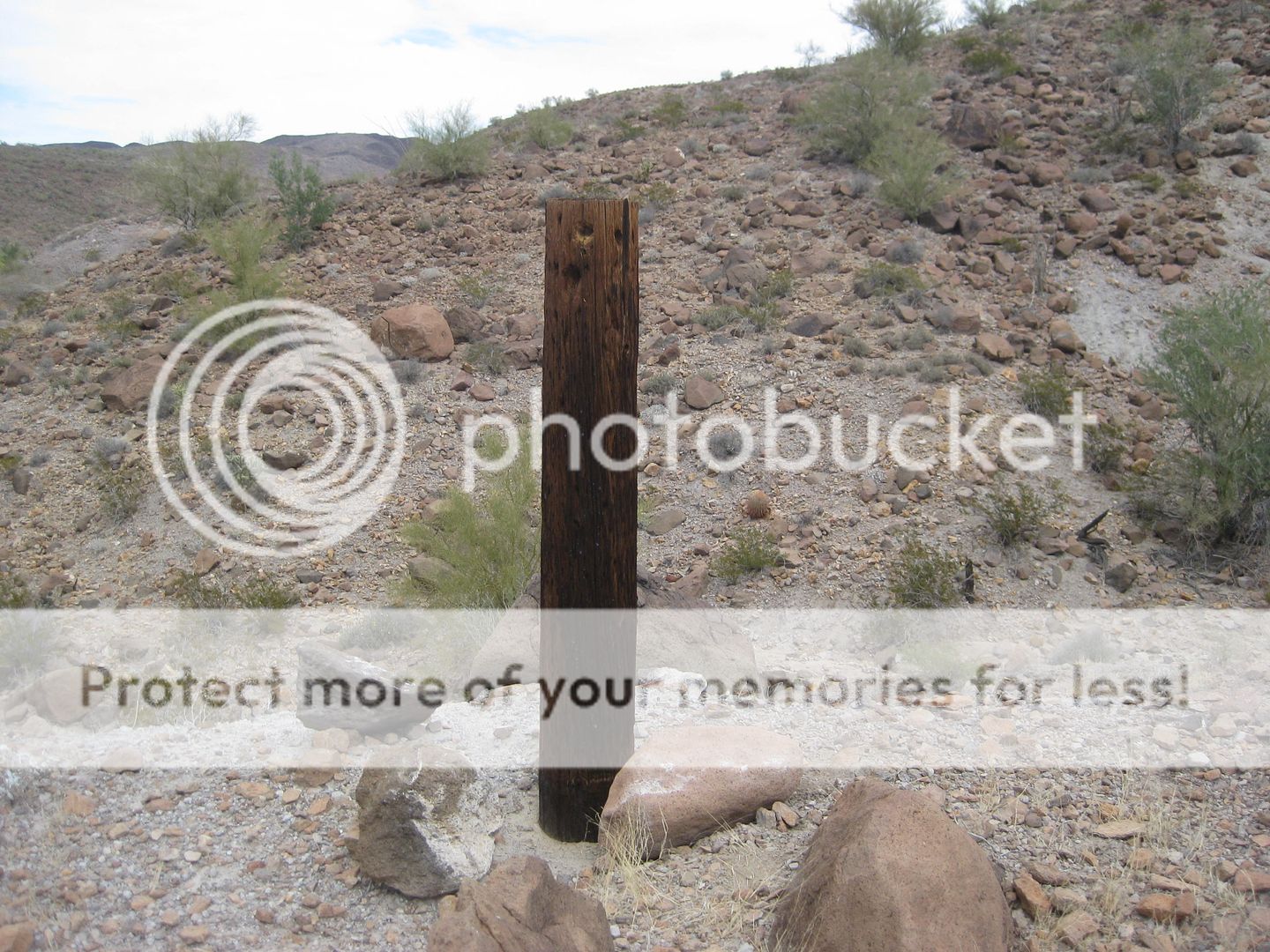
Chuck finds a perfect glass insulator! Earlier in the day I found a couple of broken ones right next to the road.
Cobble roadbed dropping into Arroyo Jacquegel
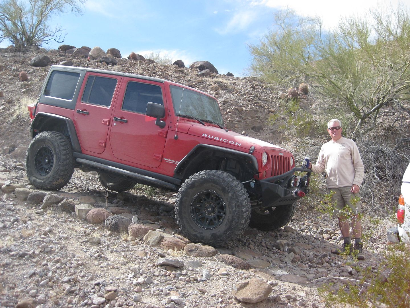
Chuck and his Rubicon.
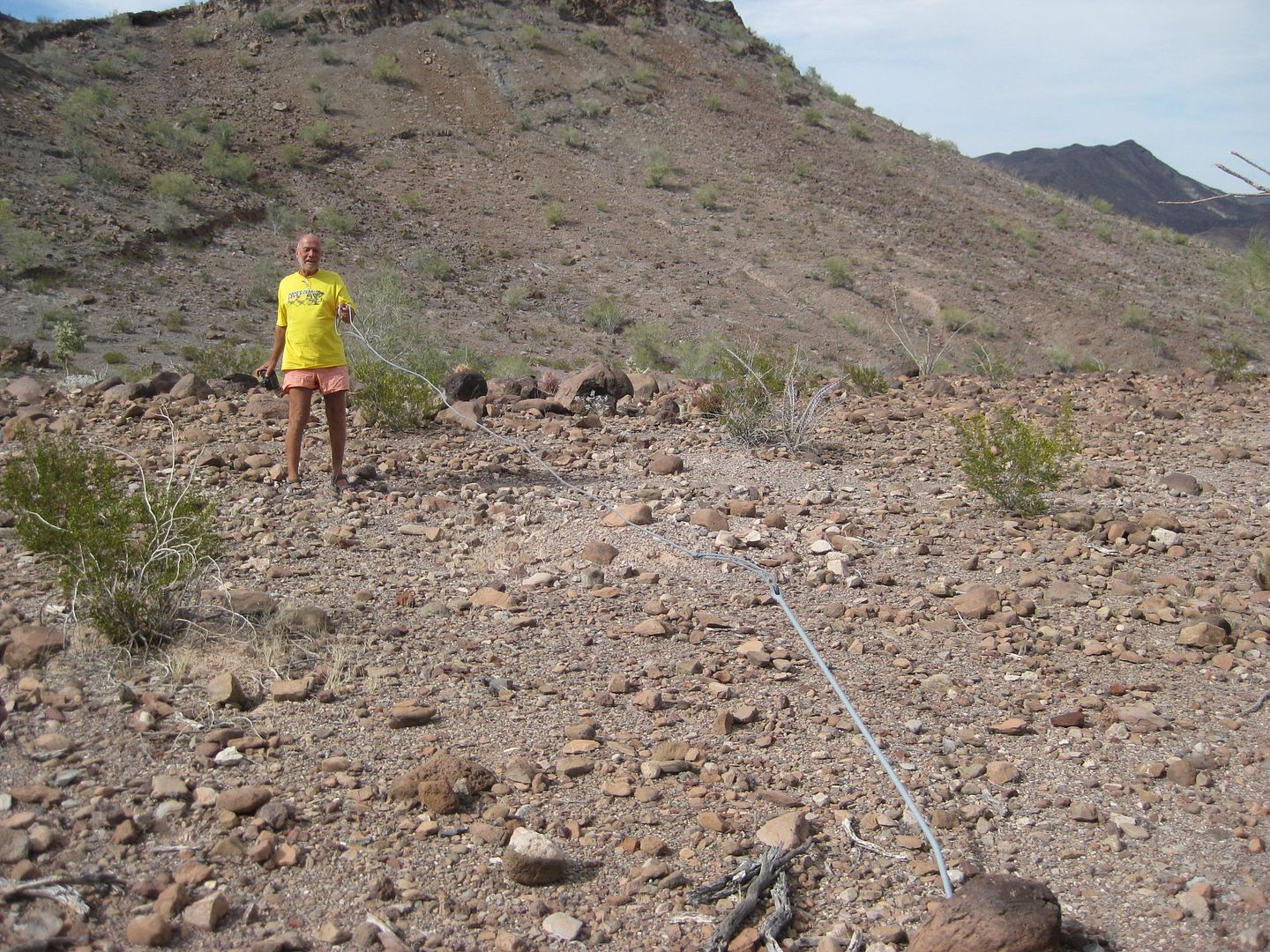
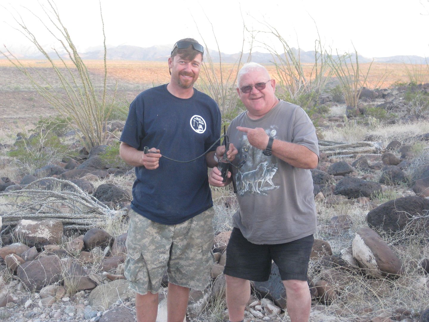
Harald (4x4abc) shows me one of the anchor cables for the poles.
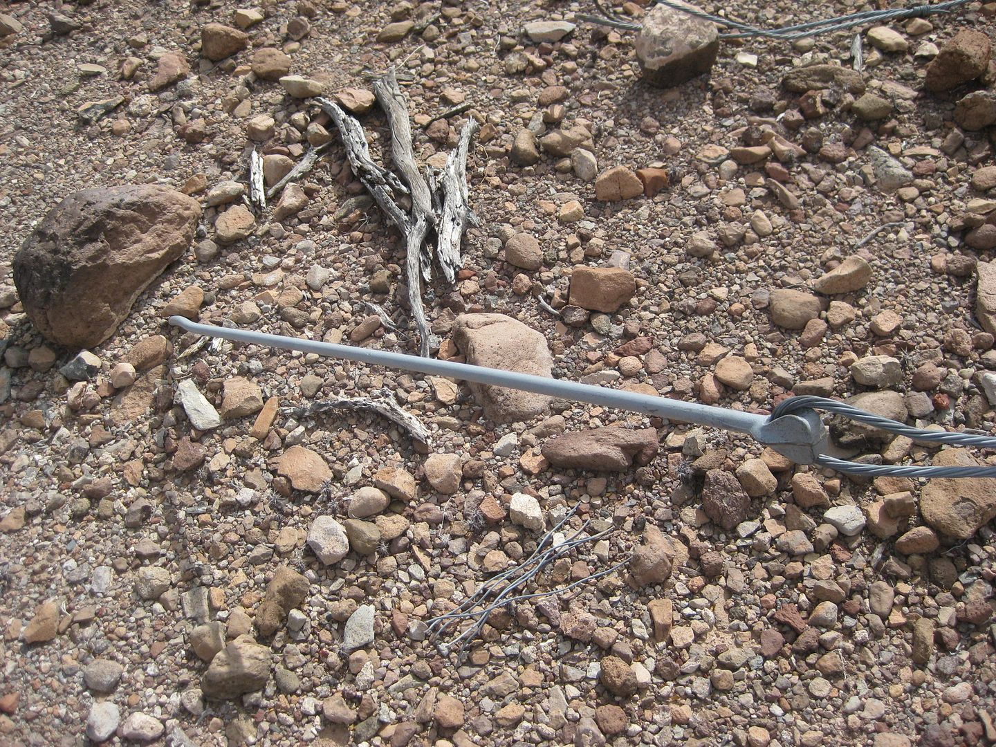
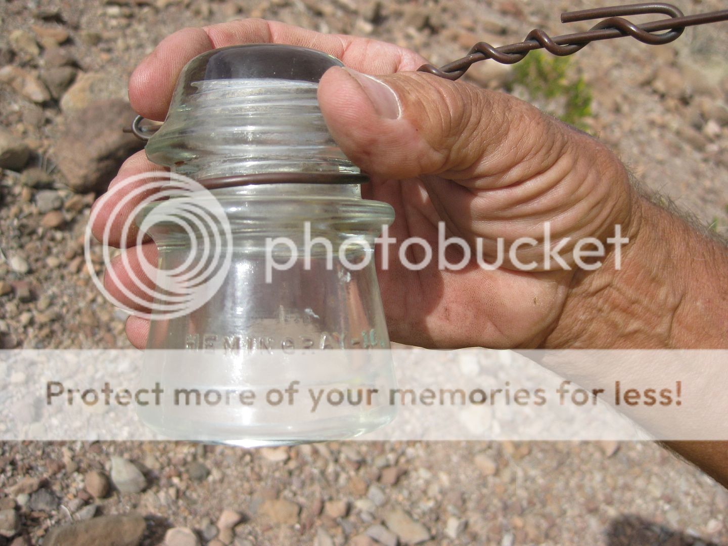
An insulator with wire... it reads...
On one side: HEMINGRAY-16.
On the opposite side: MADE IN U.S.A. 1-41.
Mold 1, 1942 (one dot after the 41 adds a year) and installed in June, 1942 as best we know at the moment. Harald thinks he can dig up more data on
the history of the line and the road construction.
Here is a web site on those insulators, thanks Taco de Baja!: http://www.hemingray.info/database/mold-datecodes.html
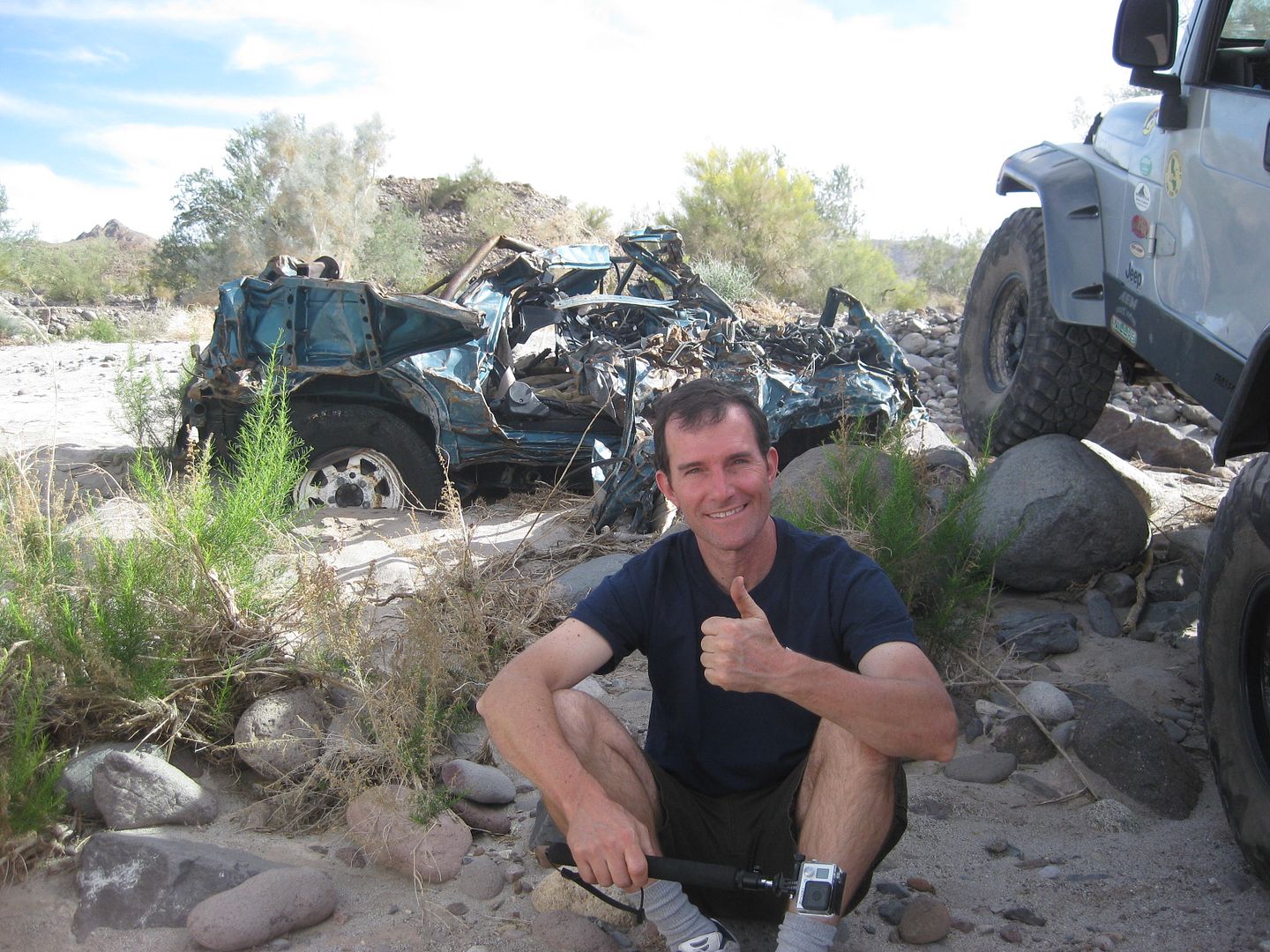
FrigateBird (Joe) at the Suzuki wreck.
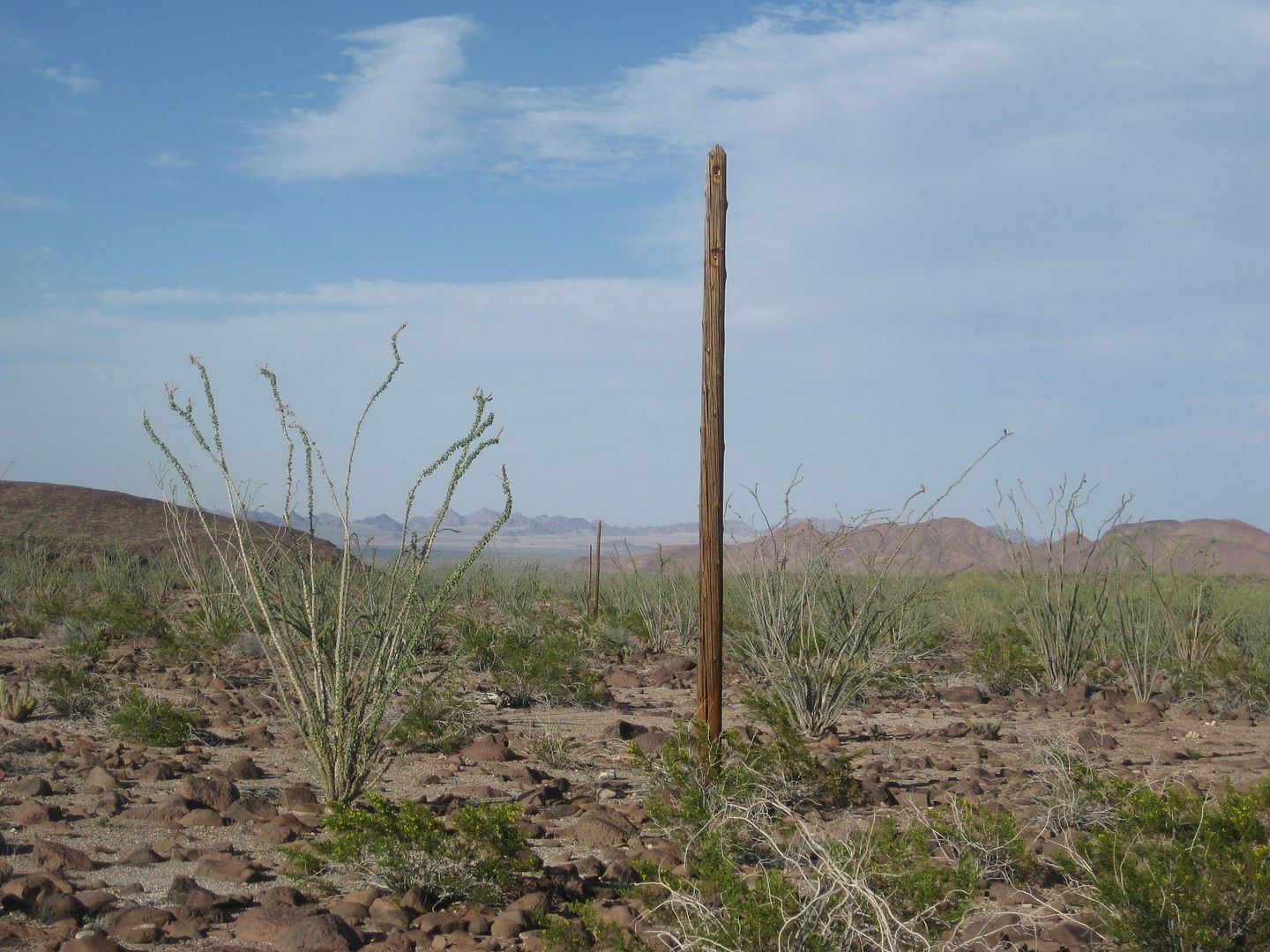
First full length pole.
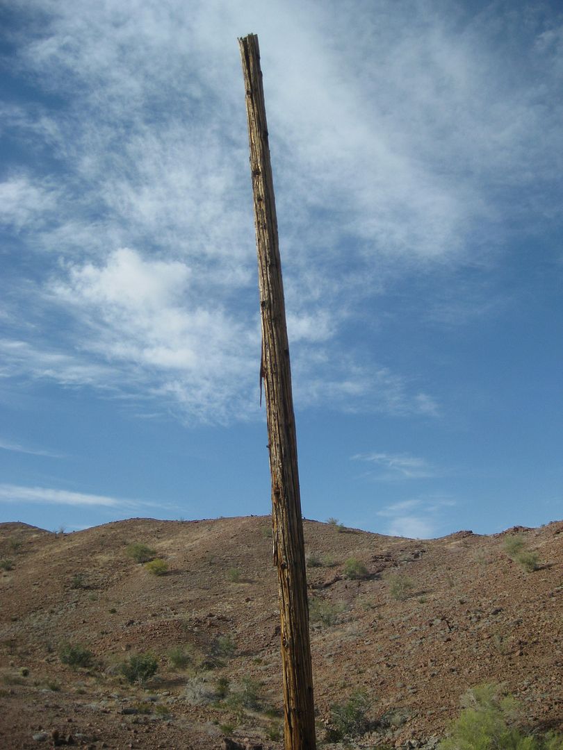
See the other in the distance?
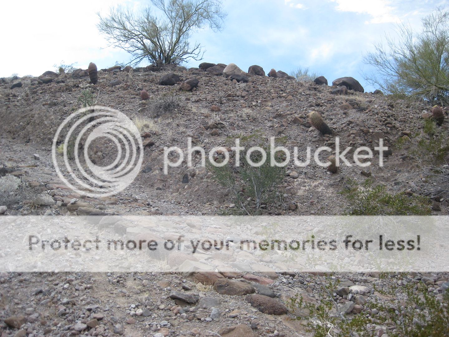
The 'Bad Hill'... but not really too bad.
More poles!
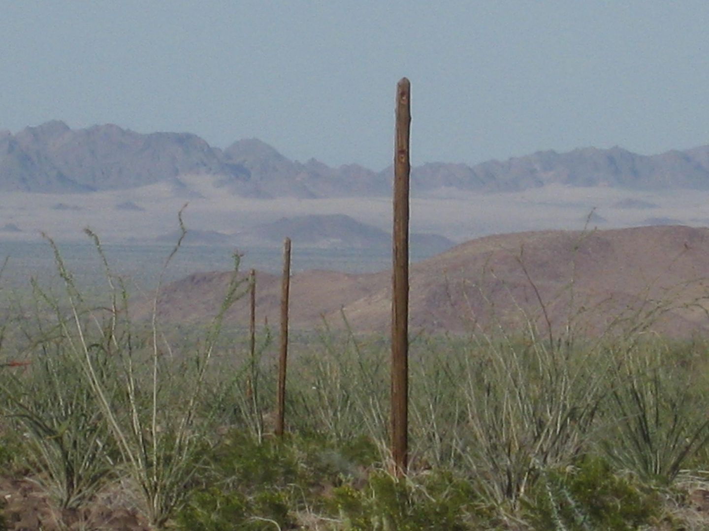
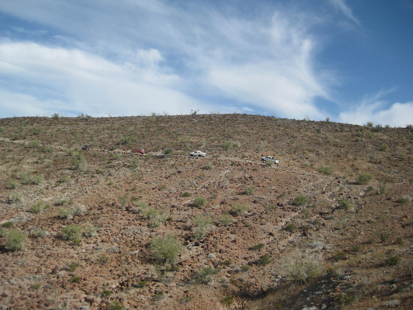
The caravan as seen from the row of poles. This is where the Ford broke down.
Seriously cool to me!
Dead Ford.
TW delivers the Suzuki coil to Wil for his Bronco.
Working our way down the grade.
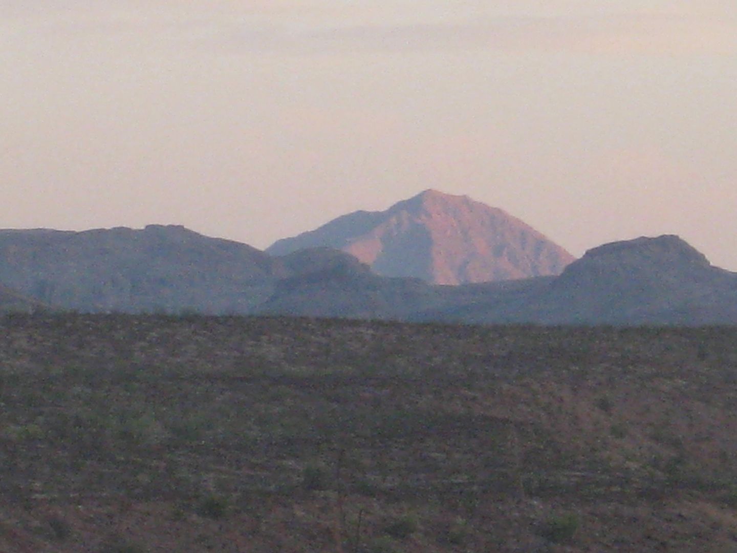
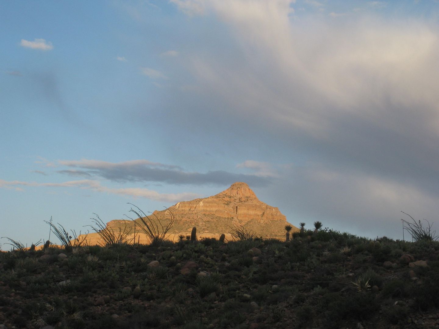
Borrego Mountain (Cerro el Arrajal) as seen from the Pole Line Road.
END OF DAY 2 PHOTOS.
[Edited on 4-18-2015 by David K]
|
|
|
Bajaboy
Ultra Nomad
Posts: 4375
Registered: 10-9-2003
Location: Bahia Asuncion, BCS, Mexico
Member Is Offline
|
|
Cool report...thanks!
|
|
|
güéribo
Nomad
Posts: 239
Registered: 10-17-2014
Member Is Offline
|
|
Who built the cobblestone road?
|
|
|
David K
Honored Nomad
Posts: 65563
Registered: 8-30-2002
Location: San Diego County
Member Is Offline
Mood: Have Baja Fever
|
|
The United States (Army Corps of Engineers, as best we know)... Hope to get more details in the future. This was a top secret road and construction in
time of war. Baja was sparsely populated and Mexico allowed us to do what we did to protect California from attack or invasion.
|
|
|
Mexitron
Ultra Nomad
Posts: 3397
Registered: 9-21-2003
Location: Fort Worth, Texas
Member Is Offline
Mood: Happy!
|
|
Nice pics David!
|
|
|
Von
Senior Nomad
Posts: 961
Registered: 10-1-2006
Location: Poway-Rosarito
Member Is Offline
Mood: getting ready!
|
|
AWESOME! have to join you guys sometime.
READY SET.....................
|
|
|
| Pages:
1
2
3
..
12 |
|


