| Pages:
1
2
3
4 |
David K
Honored Nomad

Posts: 64479
Registered: 8-30-2002
Location: San Diego County
Member Is Offline
Mood: Have Baja Fever
|
|
TRIP #1 (JAN 2017) Mexicali to Pta. San Francisquito over New Years Week 2017
EDIT: Despite paying Photobucket to keep the photos free of watermarks, and resizing to not stretch the Nomad page, as of June 2021, Photobucket is
not honoring their agreement. We have been using Postimages.org as an alternative, free photo hosting site, but these trip reports were made before
the switch to Postimages.org.
Report & Photos sized for message boards and no watermarks are here: https://www.tacomaworld.com/threads/2017-baja-expedition-1-e...
I had an 8 day trip with a mission to have a look at and get photos of every tourist destination (beach, campground, motel, gas station, historic
site) from Km. 0 south of San Felipe to Punta San Francisquito.
The first day I caravaned with Baja Geoff as he has become very intrigued by the Melchior Diaz 1541 Grave Mystery, as told in this article: https://www.bajabound.com/bajaadventures/bajatravel/searchin...
Geoff has been going over Google Earth in the region myself and four other Nomads explored in April 2015 looking for possible sites. He had a hot
target he wanted to see, and it was very near where we could get our Toyota trucks to, northwest of San Felipe.
After that search and camping one night with Geoff, I continued on south on my trip while he returned to run operations at Baja Bound.
DAY 1 (TUE. JAN. 27, 2016):
I meet Geoff near El Centro and we drive down Hwy. 5 to La Ventana (1 km. south) then turn west and go 28 miles to the target wash and the object
Geoff GPS'd was on a steep bluff, just beyond our trucks. He saw a round or oval object 8-10 feet in diameter overlooking the land to the west, just
as Walter Henderson described in his 1967 letter to Choral Pepper.
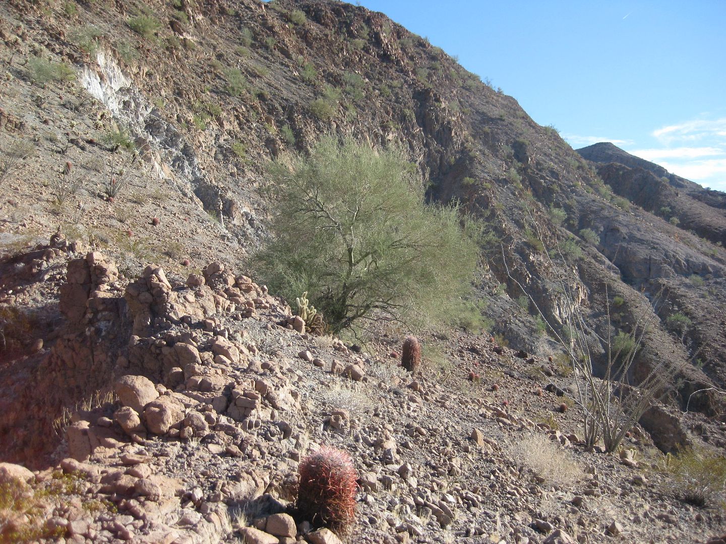
It was a lot higher up from the arroyo than Google Earth indicated. I managed to climb to the top, sometimes on all fours, sometimes sliding back 2
feet for every three forward, but made it. Geoff had attempted another route up, but it quickly proved impassable.
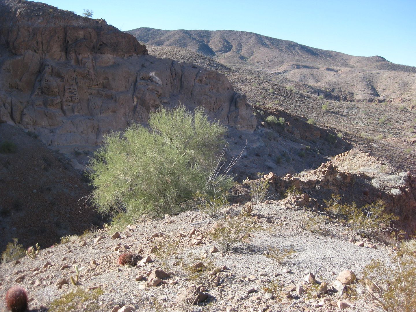
Our two trucks from the top of the bluff... looking west.
Looking east, there was the 10 ft. wide object...
Not a pile of rocks like for an important grave of a 16th Century Spanish explorer, but a mesquite tree!
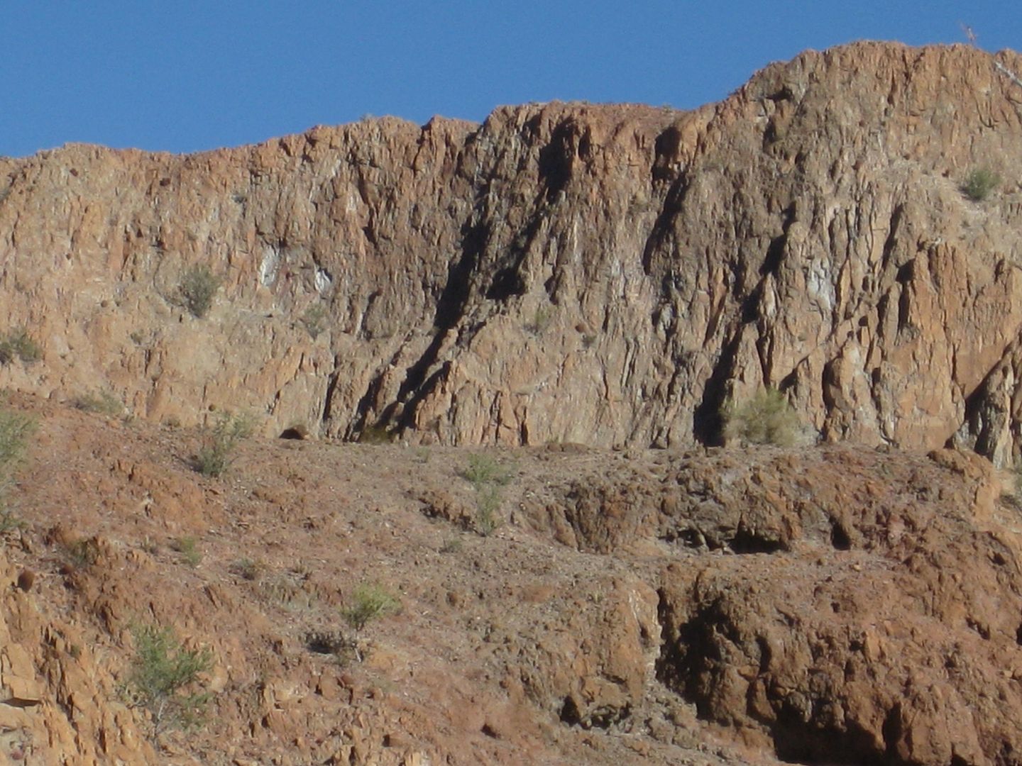
Here is from the other side of it, looking west...
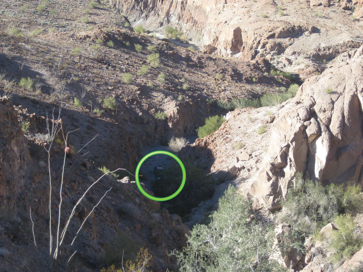
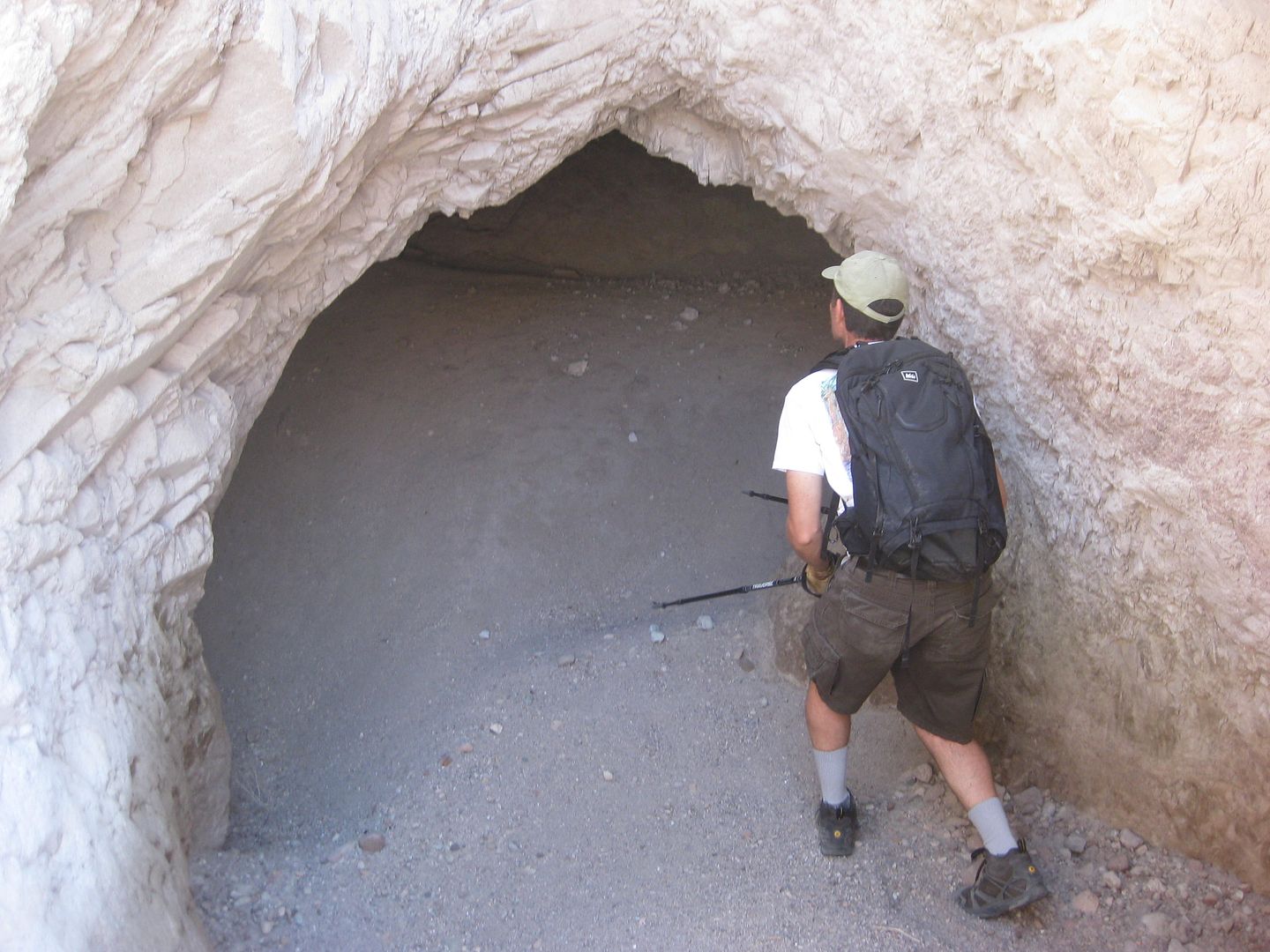
Further east and higher up, I saw an exciting object!
See it?
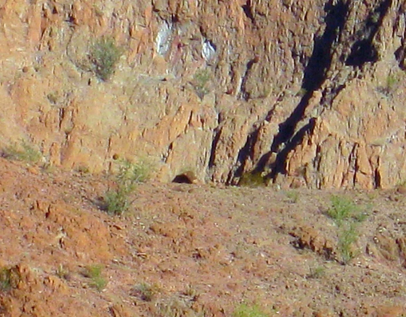
Could that be a cave? Frigatebird and I found a cave on the last Diaz Grave search, just north of here. Remember...
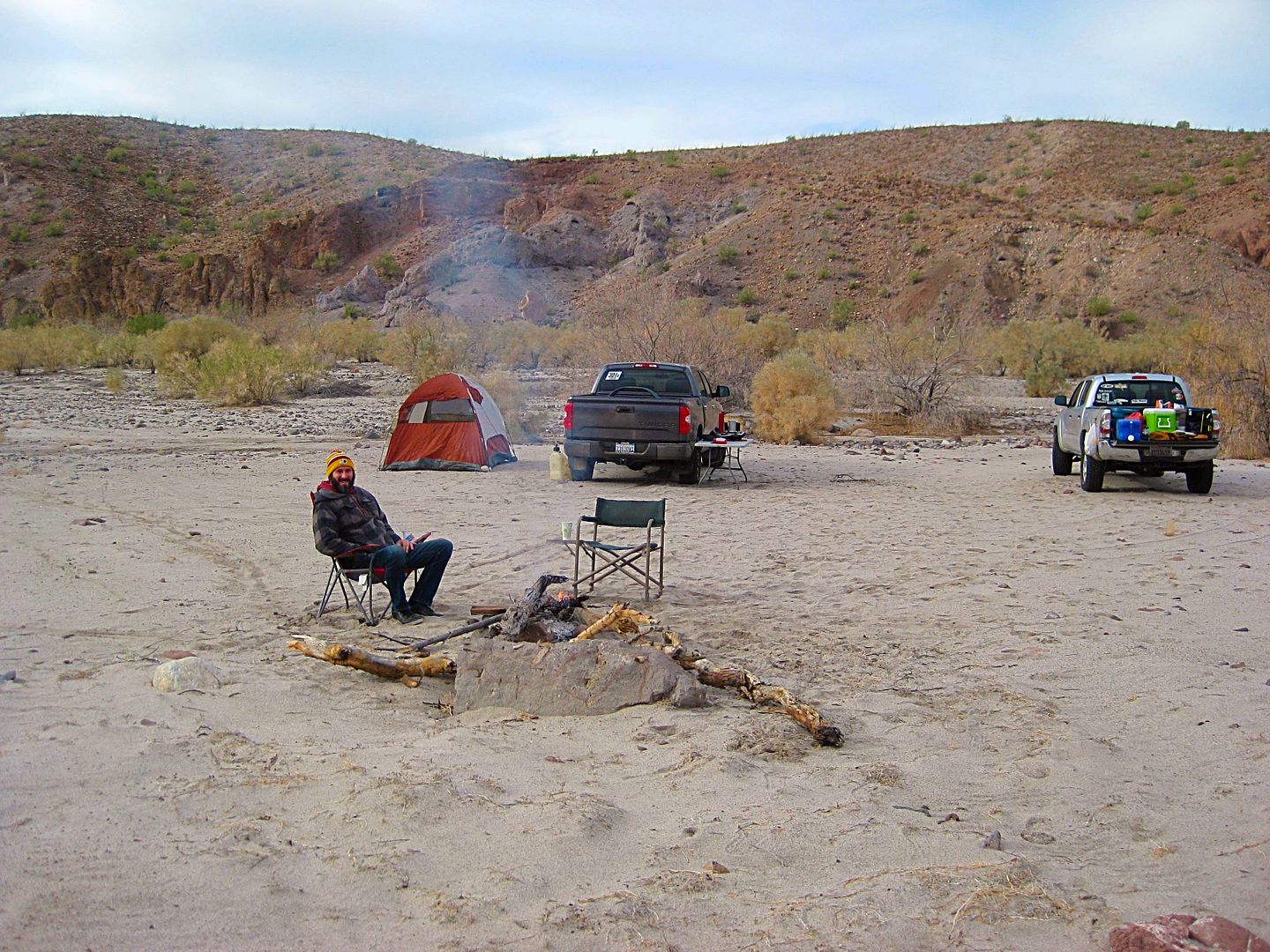
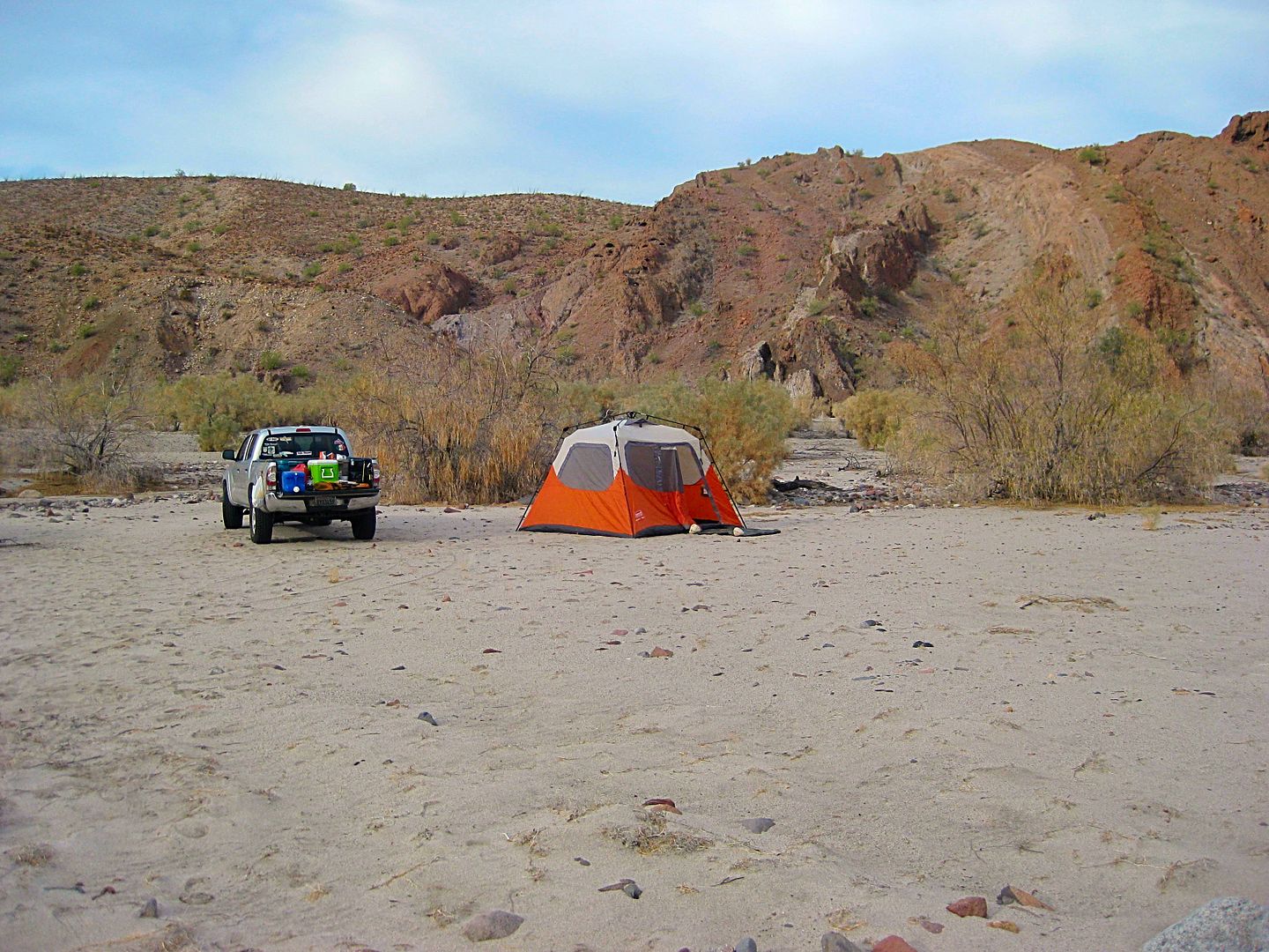
Bummed that the grave or 'rock pile' still alludes us, we drove up the wash and made camp where we Nomads had back in 2015... Geoff made the most
awesome beef stew for the trip and breakfast burritos the next morning!
Geoff says the shrubs on top of the mountain are moving? Is the wind blowing up there, I wonder? I will see if the zoom on my camera helps...
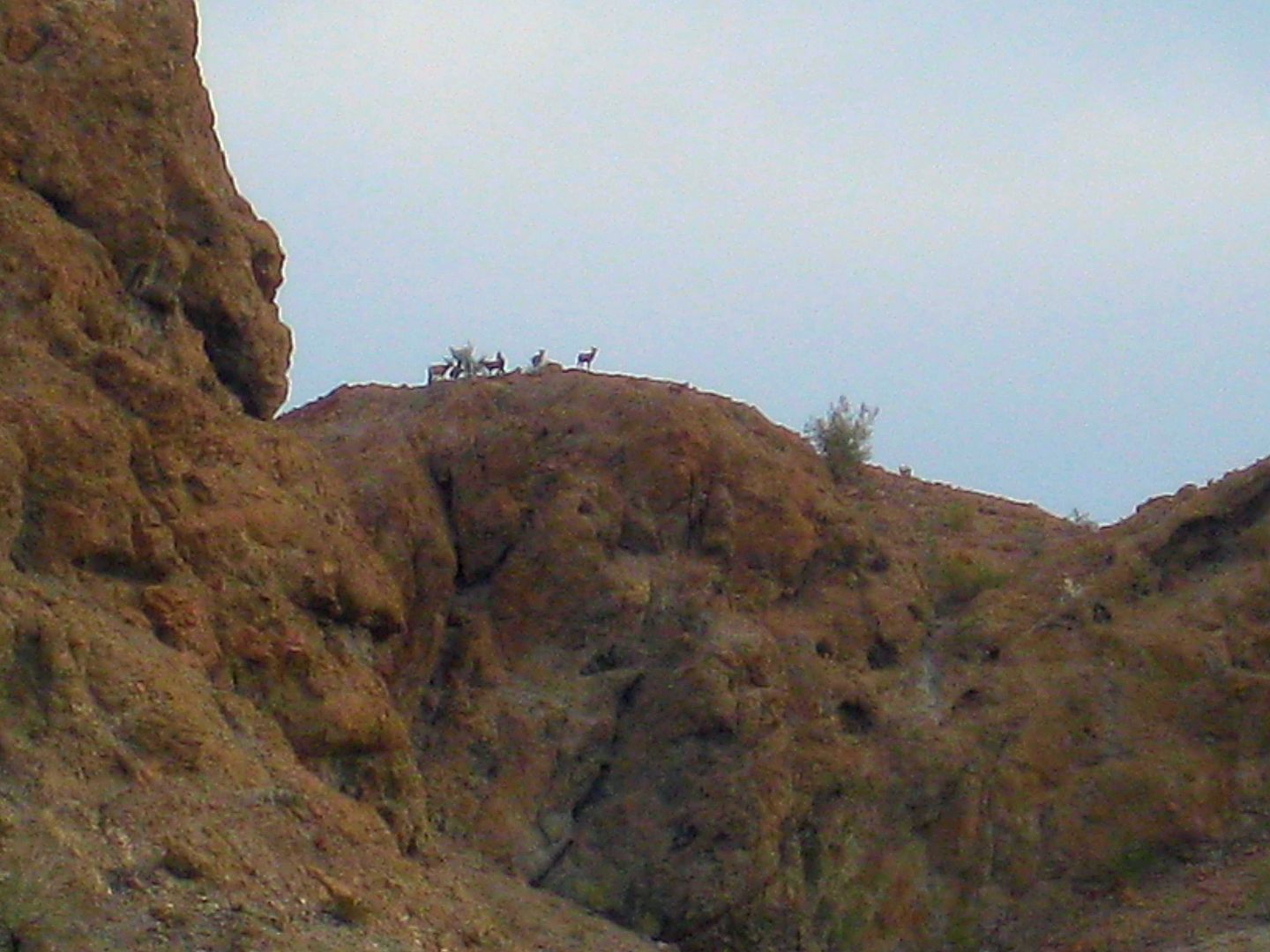
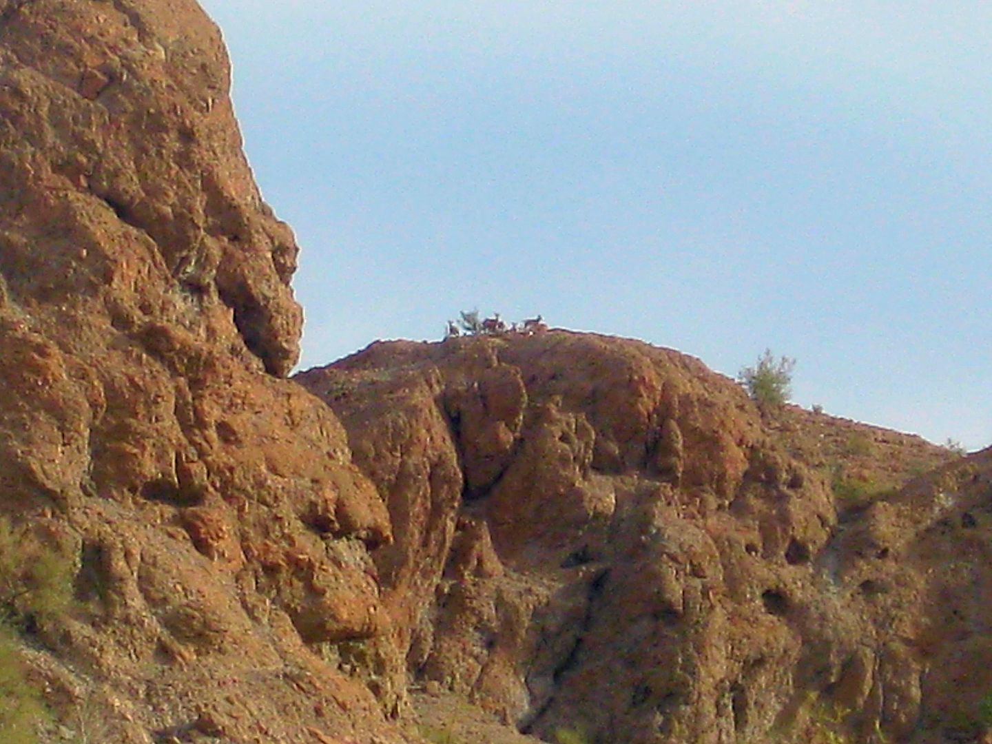
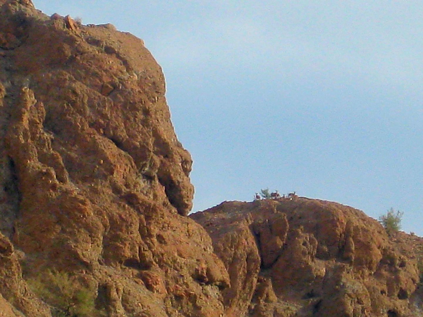
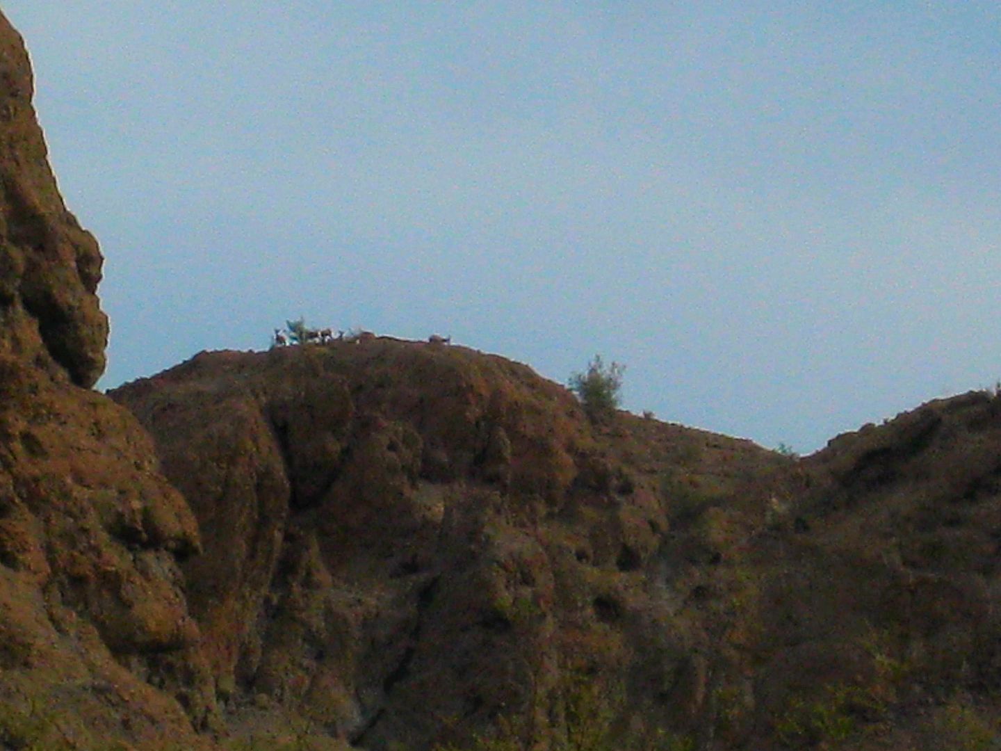
The herd of Borrego's were feeding on that shrub and watching us far below.
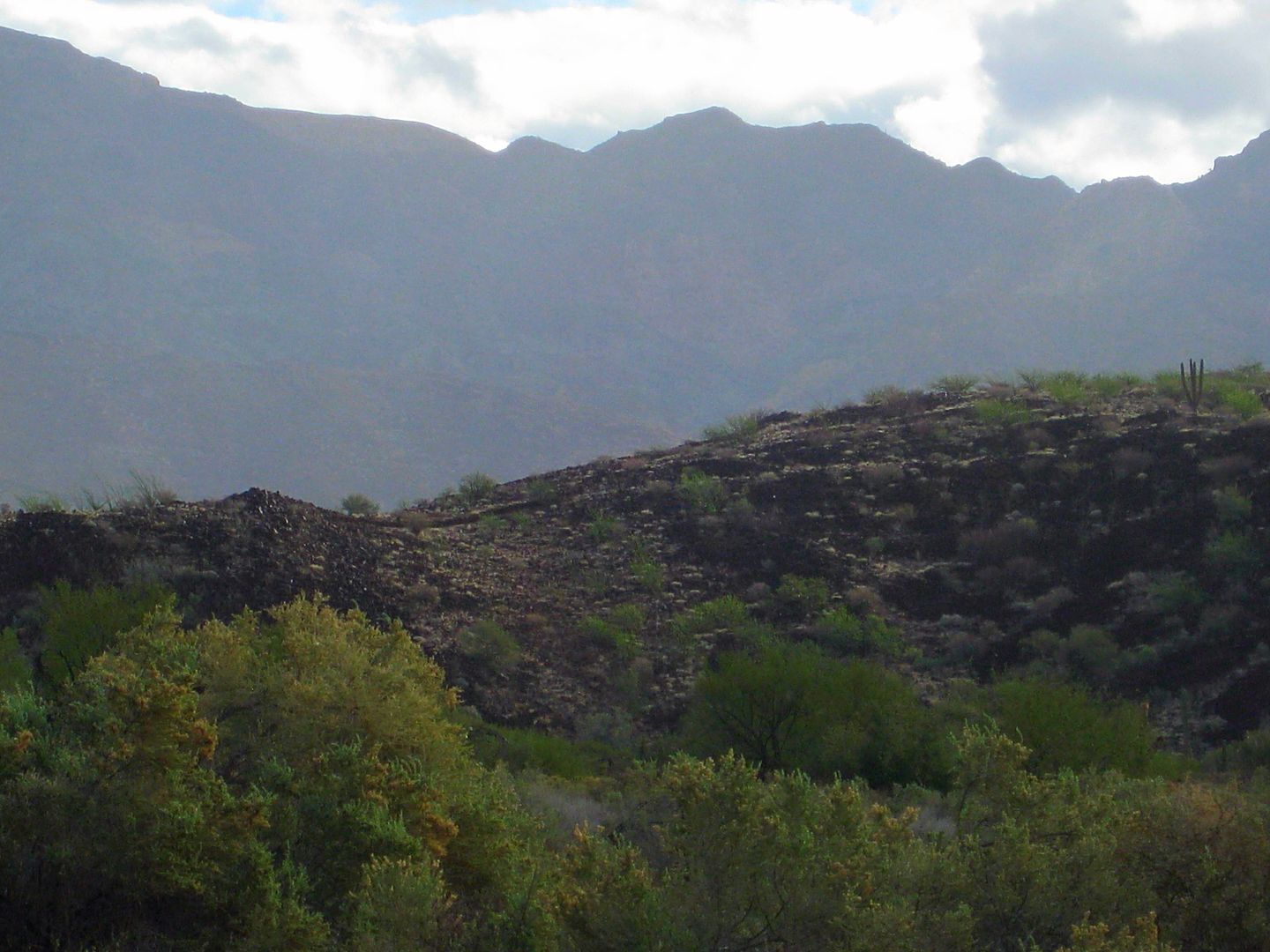
Packed up the trucks and headed north in Arroyo Grande...
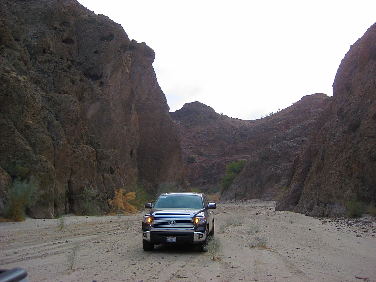
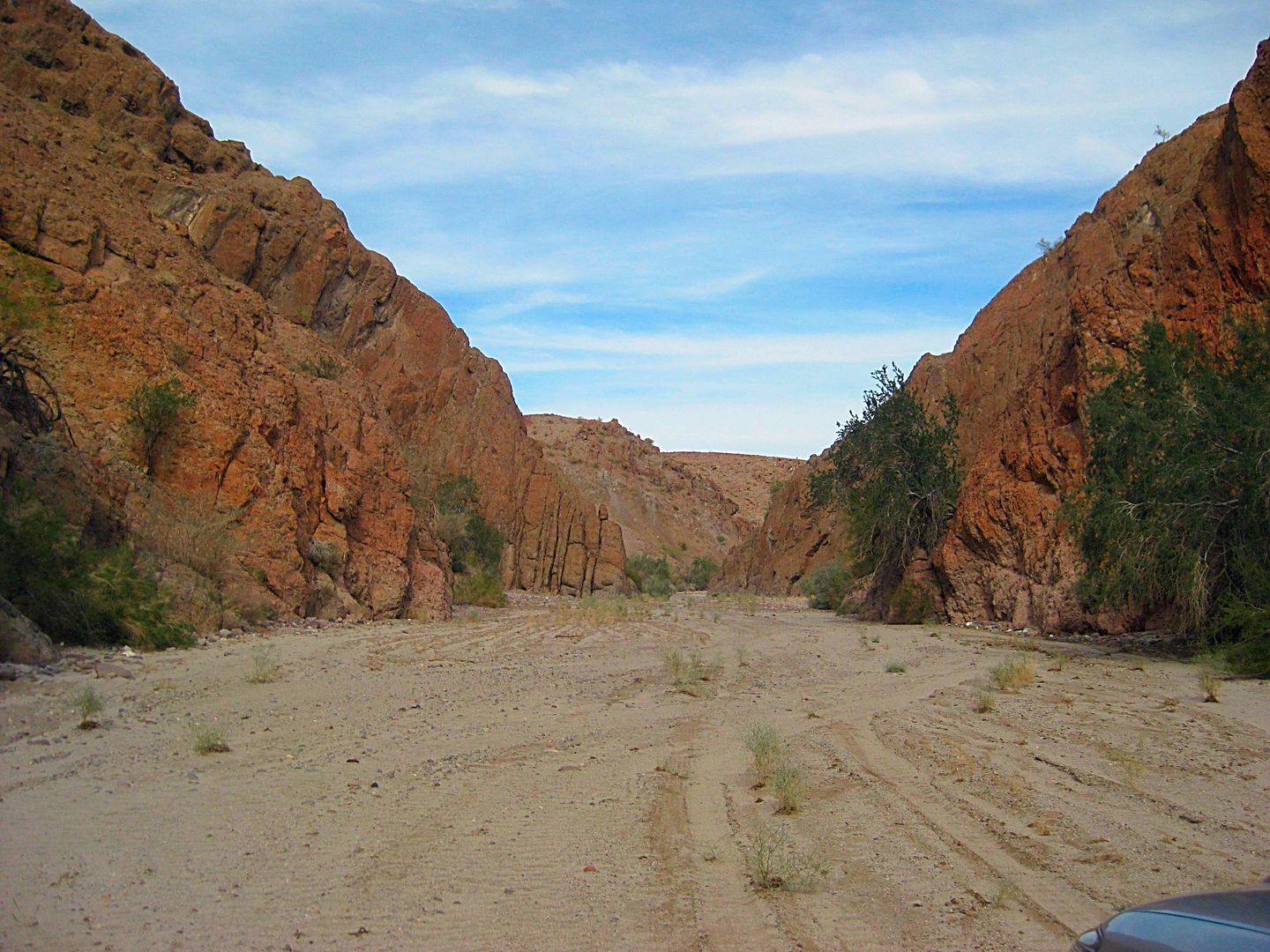
Even with the heavy rain just days before, the sand did not stay wet and there was very little mud.
I showed Geoff where the Pole Line Road reaches Arroyo Grande (17.5 miles from Hwy. 5) and it was a great short time with Geoff exploring Baja for a
common fascination we have... the mysteries of the past!
Stay tuned for Day 2!...
[Edited on 6-5-2021 by David K]
|
|
|
Nashville Frank
Junior Nomad
Posts: 95
Registered: 12-5-2016
Location: Nashville, TN
Member Is Offline
Mood: Baja happy
|
|
Nice!
Stirs the wanderlust in our souls...our memories rattle through the mind...the scents arouse our being...the indescribable quiet calms our hearts...we
gotta go Baja or else!
|
|
|
David K
Honored Nomad
Posts: 64479
Registered: 8-30-2002
Location: San Diego County
Member Is Offline
Mood: Have Baja Fever
|
|
Quote: Originally posted by Nashville Frank  | Nice!
Stirs the wanderlust in our souls...our memories rattle through the mind...the scents arouse our being...the indescribable quiet calms our hearts...we
gotta go Baja or else! |
That is very poetic Frank, thank you!
OK, Day 2 + coming up...
|
|
|
David K
Honored Nomad
Posts: 64479
Registered: 8-30-2002
Location: San Diego County
Member Is Offline
Mood: Have Baja Fever
|
|
Recon 2017
Well, December 28, 2016, actually... but close enough!
SAN FELIPE KM. 0 south...
I had the opportunity last week to try and go into every place that seemed to be one for campers or travelers (tourists).
Most of the "campos" south of San Felipe are actually places that lease lots for long-term occupancy and people build homes or park trailers on them.
My goal was to see only the campgrounds, open beaches, and other points of interest so I could be up-to-speed for information to help fellow Baja
travelers. I hope to help the people of Baja by this and inform the travelers of what options they have yet still leave enough mystery and not go on
every road, so there is still a sense of adventure.
Guidebooks have never made Baja uninteresting, I have found. In fact, they compel me to see for myself and there is ALWAYS MORE to see and experience
than any guidebook can share.
This will be an ongoing project to recon the roads and sites in Baja as long as I am able to do this, either physically or financially. This is the
first trip, so it is one to discover how this works and what I need to change. In addition to writing mileages and drive times, I also have the use of
a GPS communicator that leaves a track of where I drive (or walk) and notes on any place I choose to comment. My friends and wife can text me as well.
This is the Garmin-DeLorme inReach Explorer.
So, while I won't bore you with all the details of each day, I will share a few photos of what I saw along the way. I hope it inspires you all to see
more of Baja. This data will be able to be updated and those updates can come from any of you to make this a living map-guide to Baja
California!
The project will have even more to offer, but I am going to let the sponsor of Baja Nomad forums, and my book's second printing, Baja Bound Insurance,
give that info out when we know how this will look.
The following is only a SMALL sampling of the photos and data collected and that will be available in the future guide.
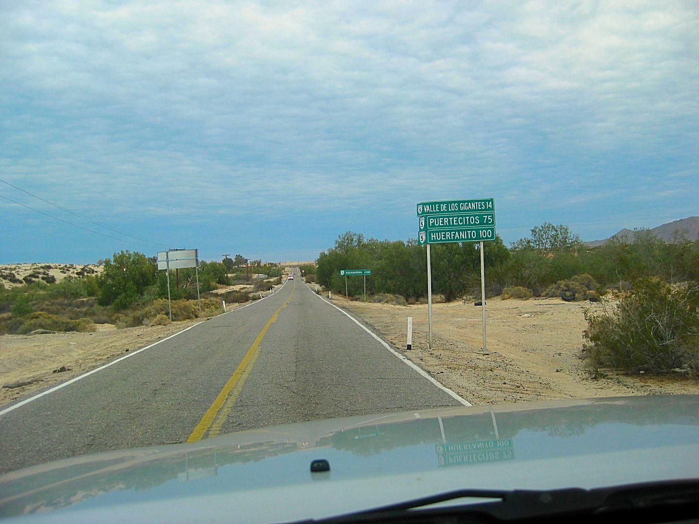
Km. 0 (El Huerfanito is actually at Km. 103)
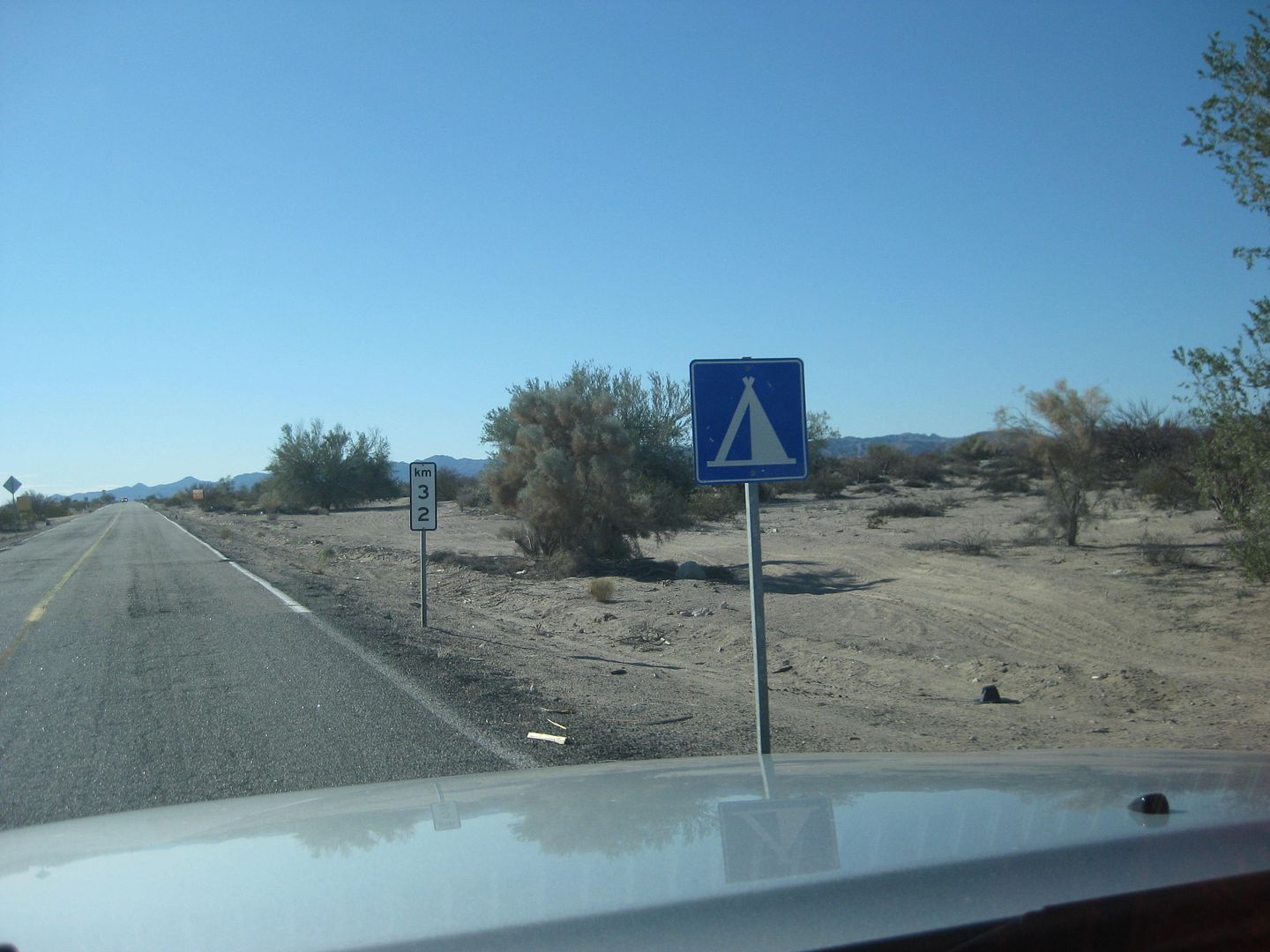
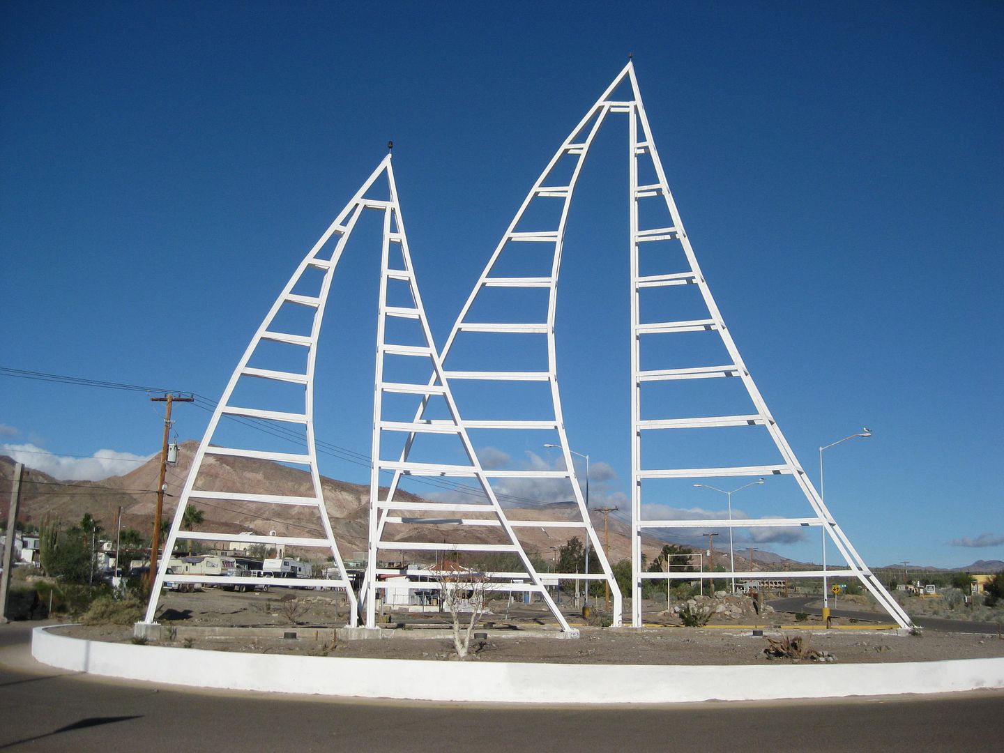
Valle de los Gigantes, 1.4 miles from Hwy. 5 (Km. 14+) and my kind of sign!
Sundown Wednesday
DEC. 29, 2016:
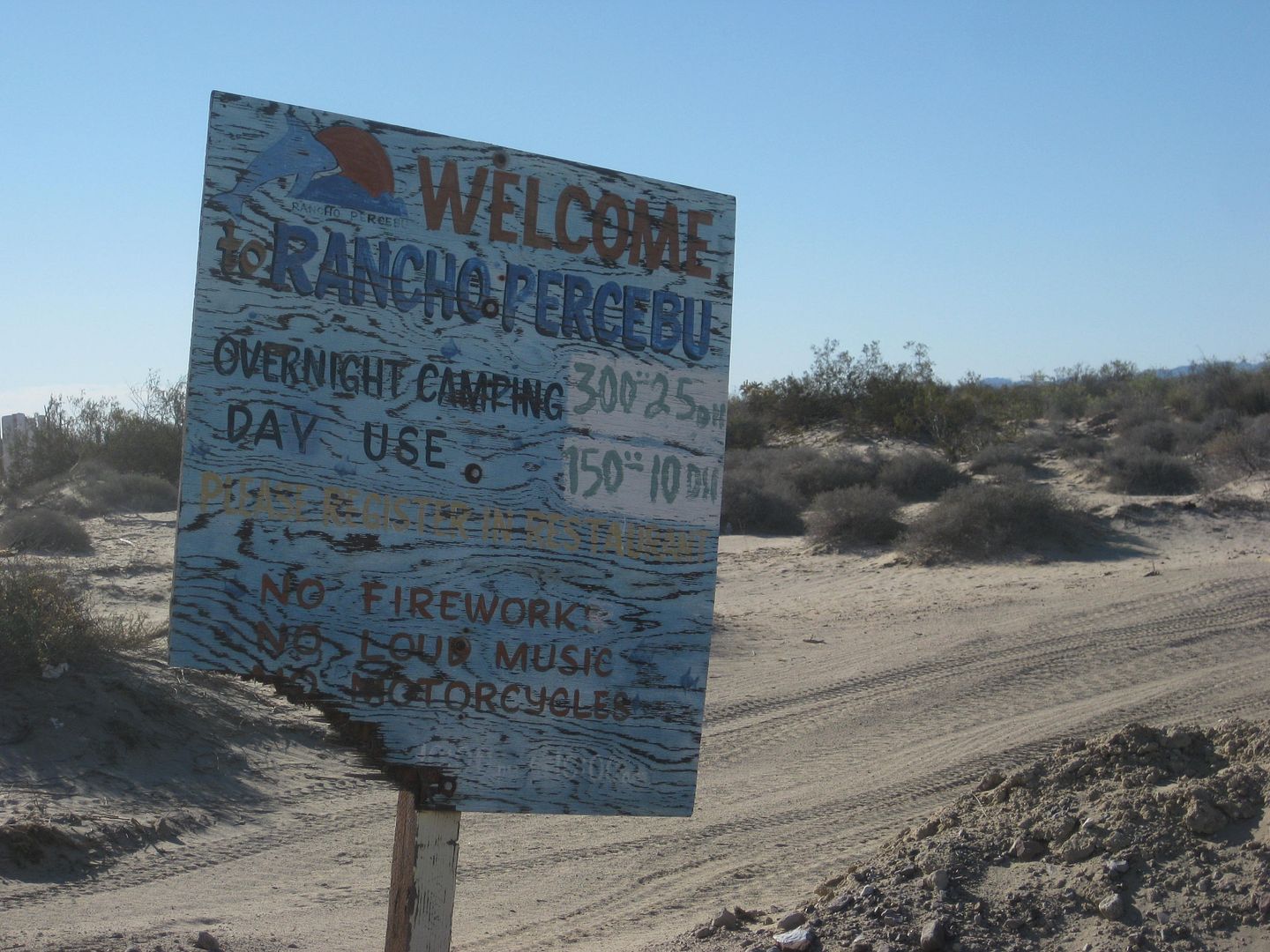
Rancho Percebu (Km. 20 3/4), 2.2 miles from hwy.
Many places from here south were deserted, run down, and many palapas were in need of repair. Baja is taking back what man has tried to claim!
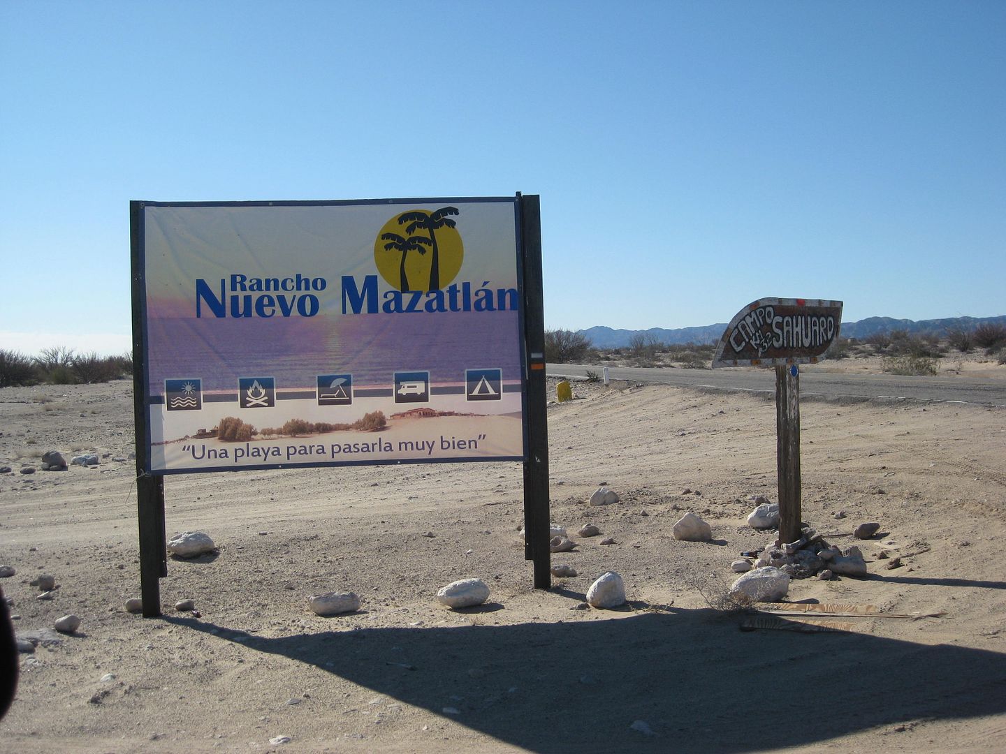
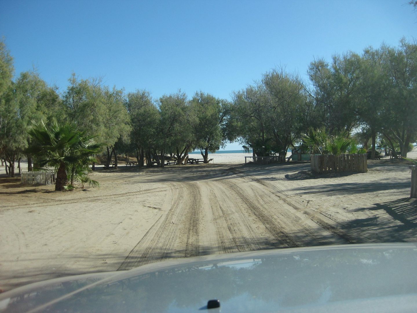
Nuevo Mazatlan is special to me because it was one of the original campgrounds south of San Felipe, long before the highway. Shown on old maps as Agua
de Chale. The trees here were planted by founder Luis Castellanos Moreno around 1969. Owned by Javier, since about 1984, it remains a shaded
campground on a wide sand beach. I first camped here in the mid-1960s and the most recent time was July 2015.
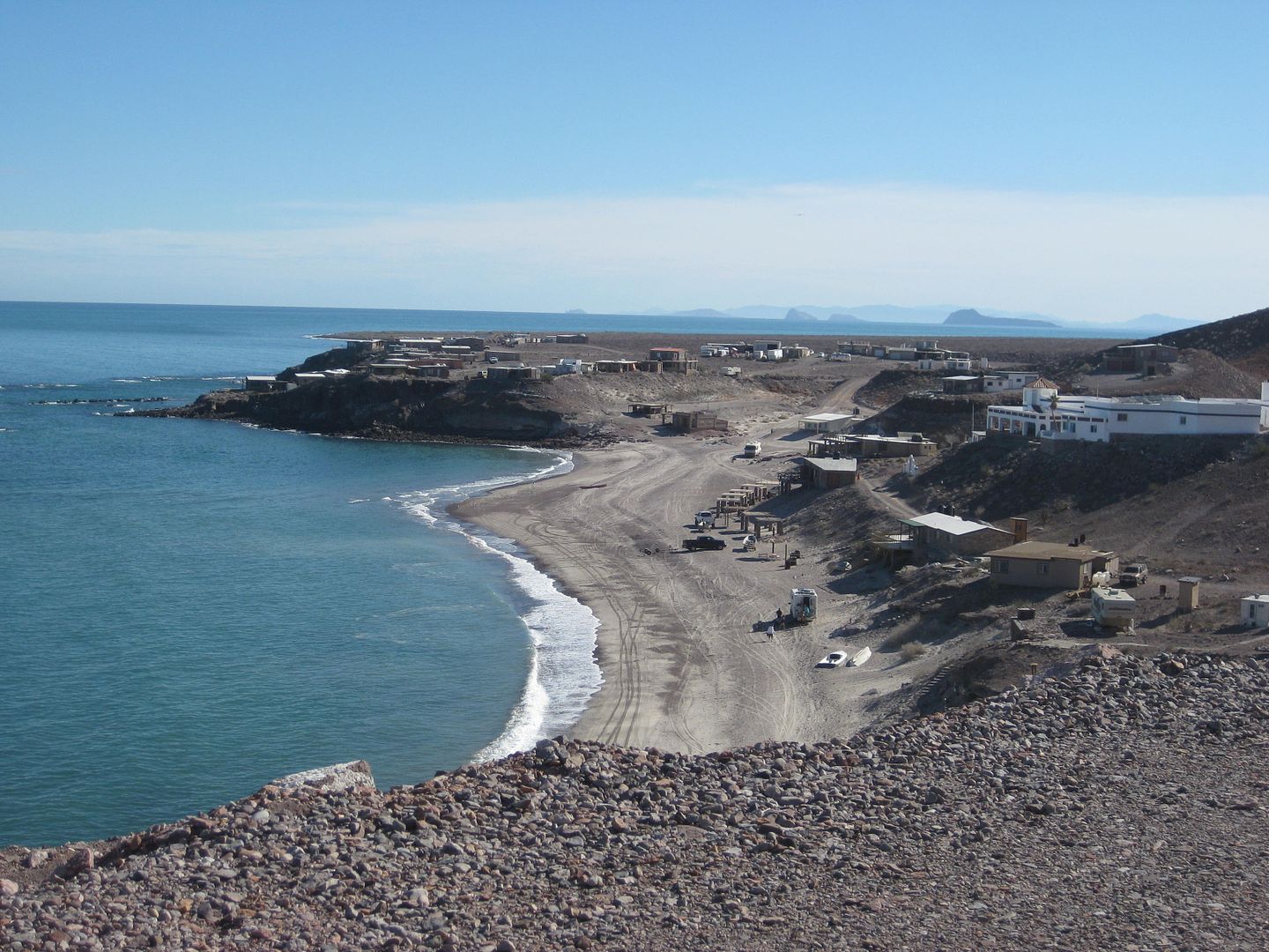
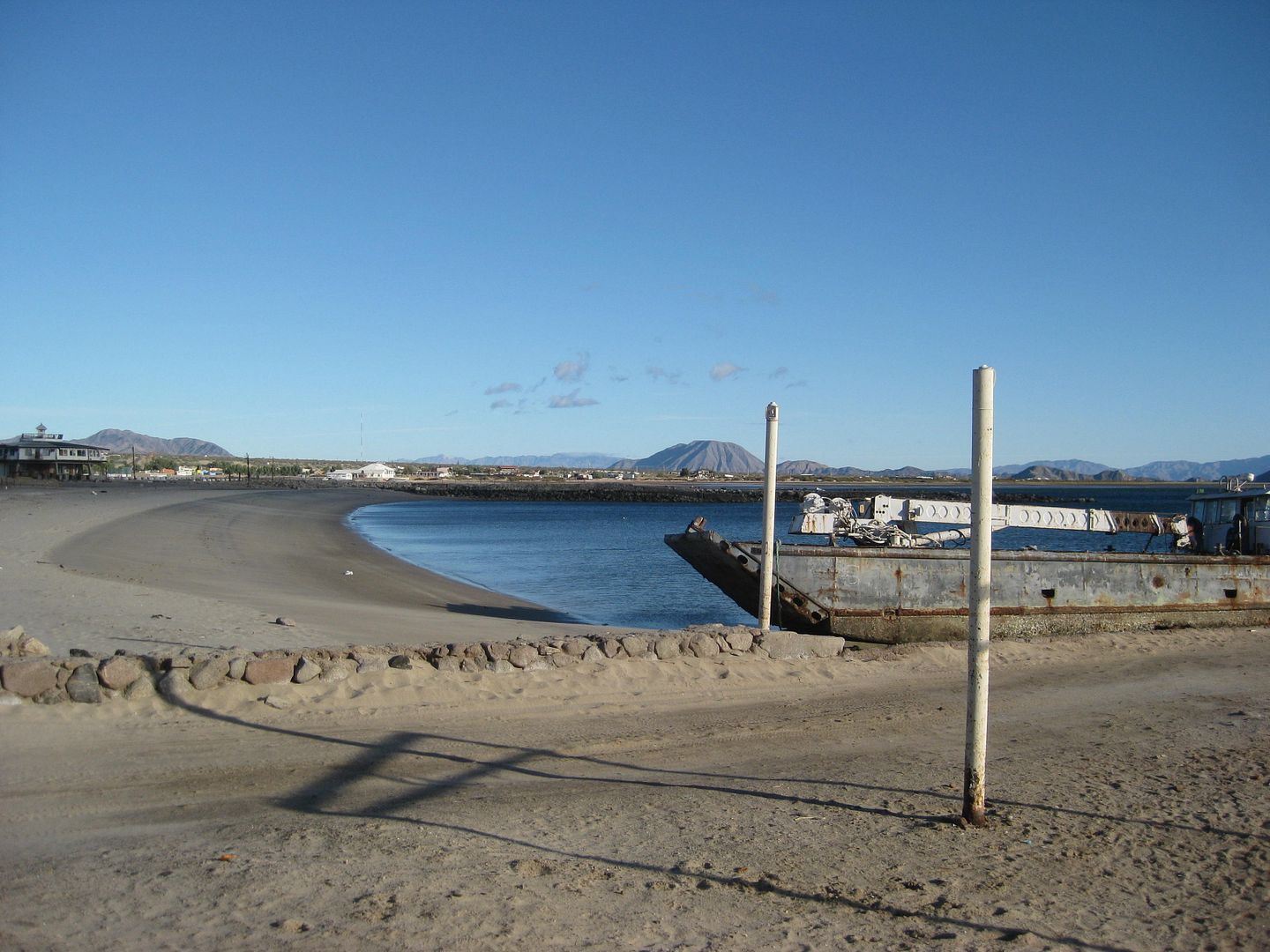
Just entering Puertecitos, on its paved driveway (Km. 74.5) is this sign.
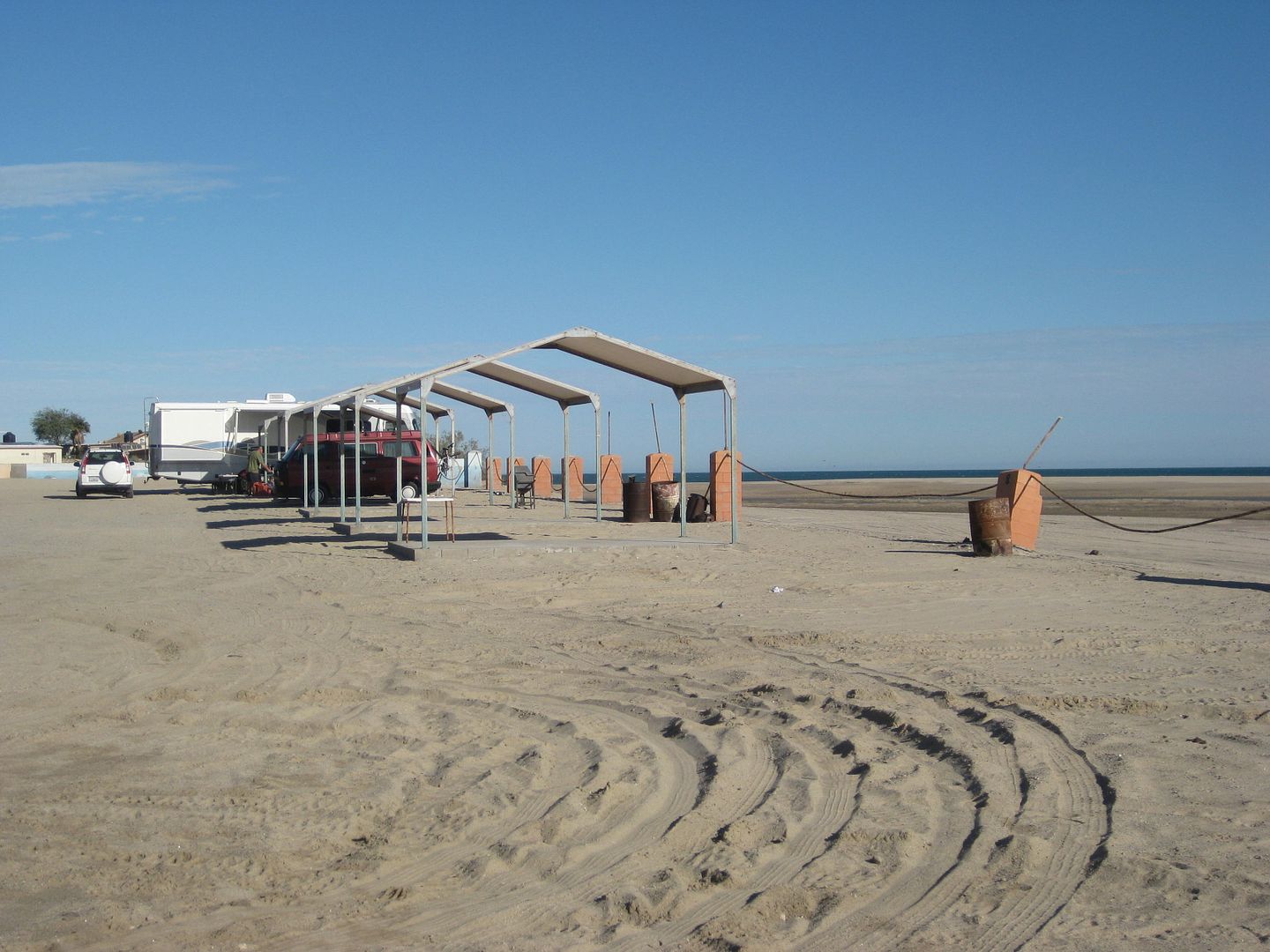
One of the better-looking campgrounds, 0.2 mi from highway on Puertecitos road and then 0.3 mi to beach.
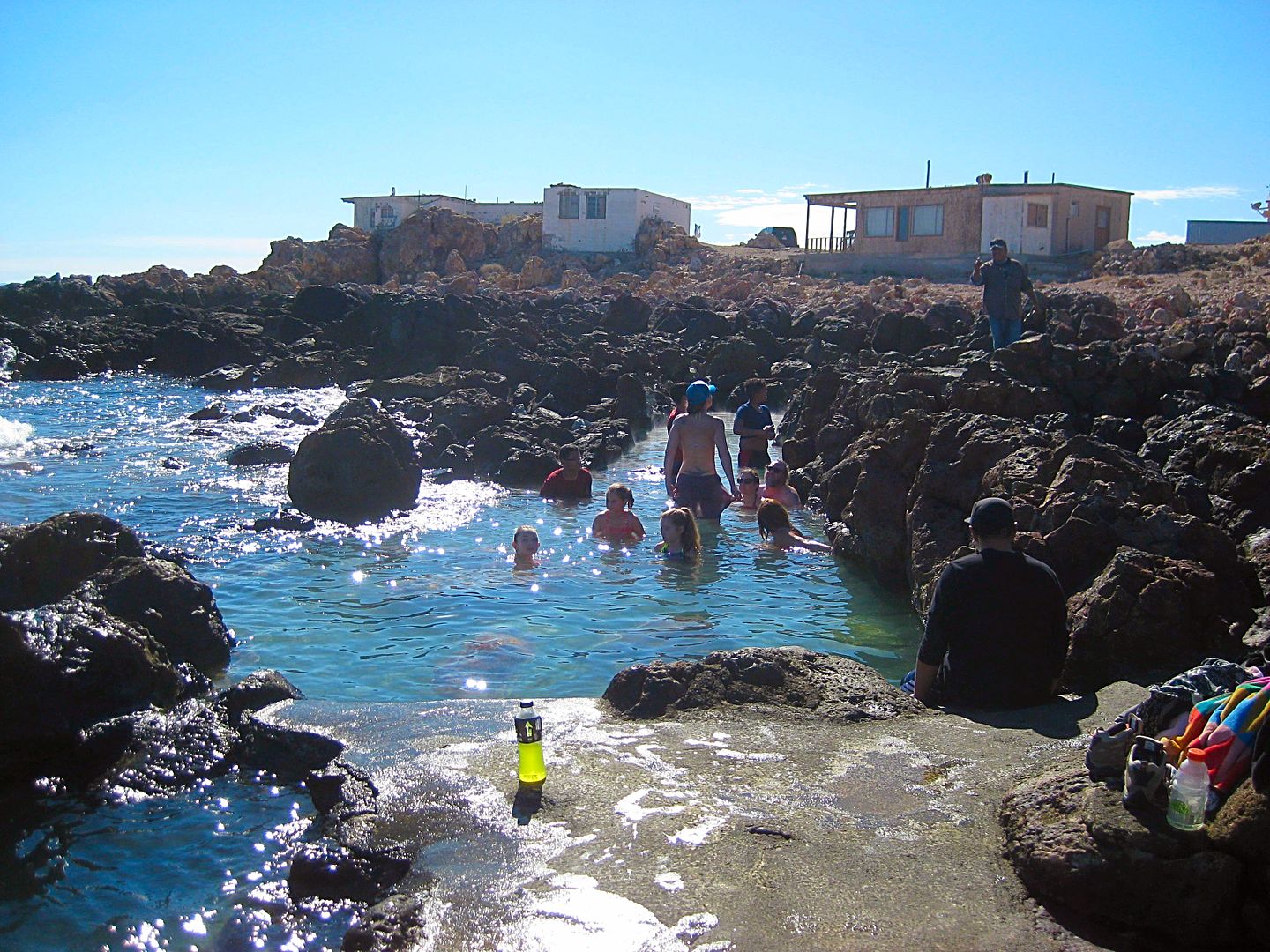
The hot springs of Puertecitos in the tidal zone. It is 200 pesos ($10) even to take photos here.
[Edited on 1-17-2017 by David K]
|
|
|
David K
Honored Nomad
Posts: 64479
Registered: 8-30-2002
Location: San Diego County
Member Is Offline
Mood: Have Baja Fever
|
|
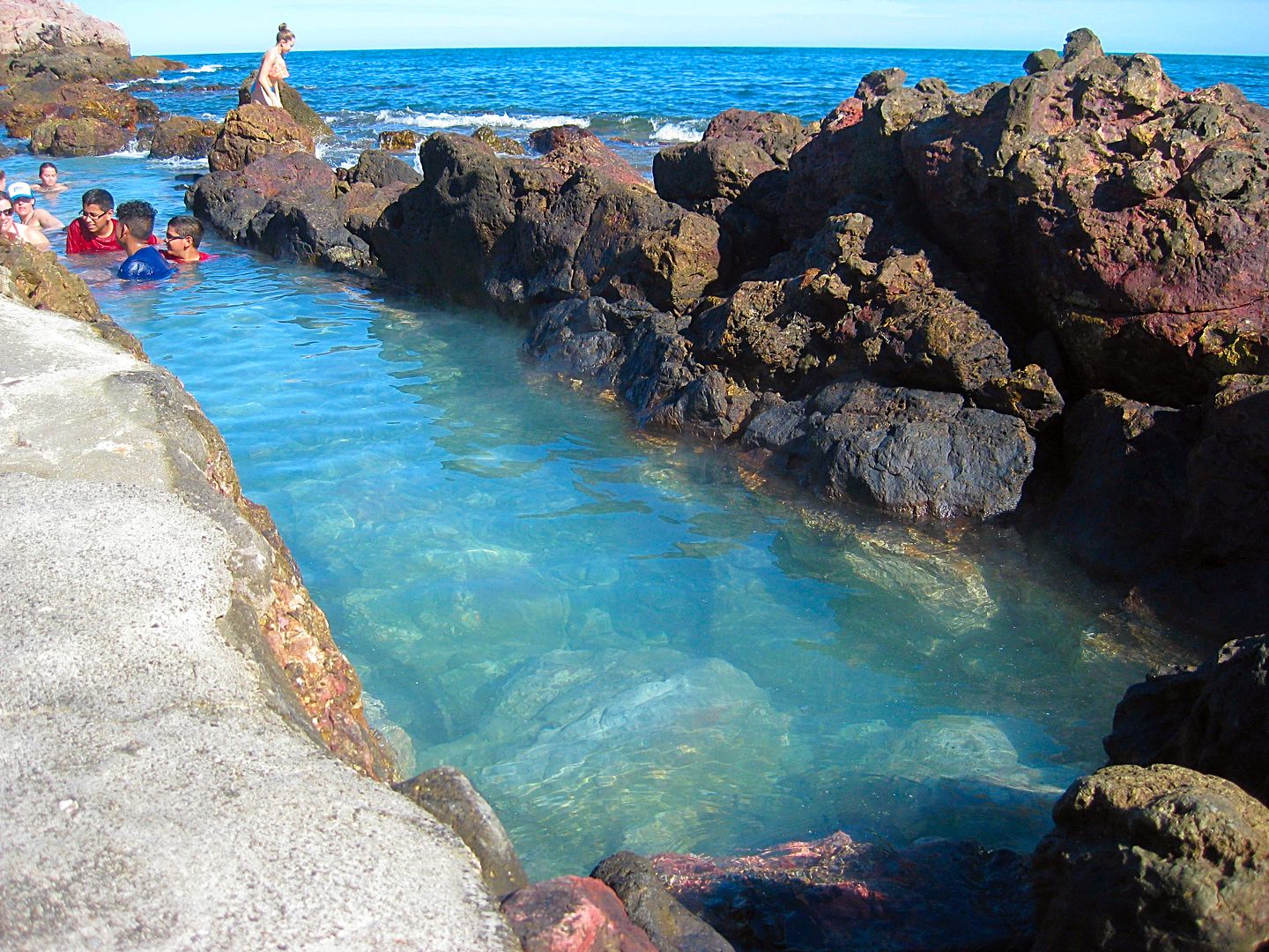
The water temperature changes with the amount of sea water mixing with the hot sulfur water. Low tide= too hot, high tide= too cold!
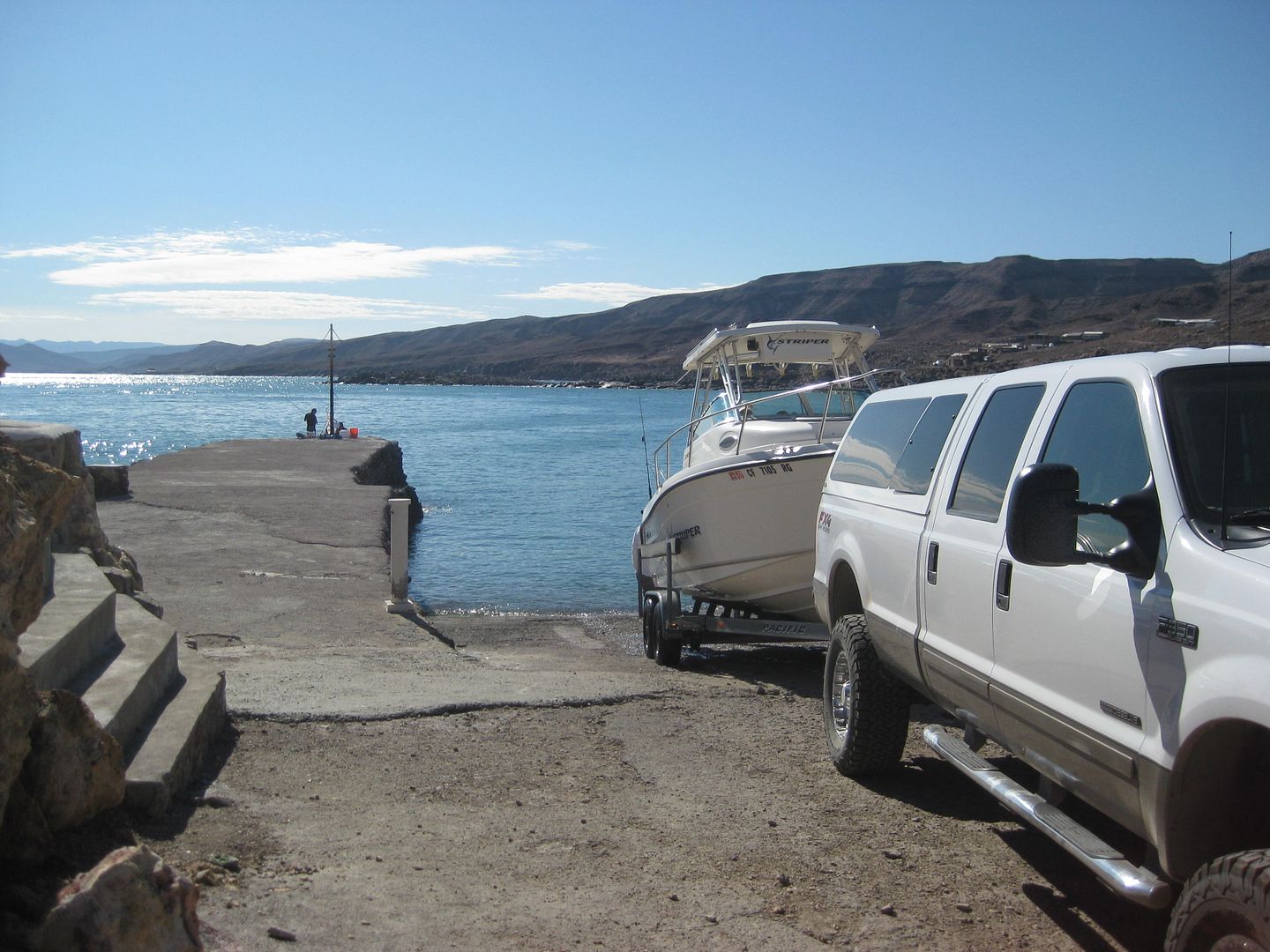
The launching ramp, just past the hot springs on the point, is the other attraction at Puertecitos. There are palapas but no rooms any longer. The gas
station was open.
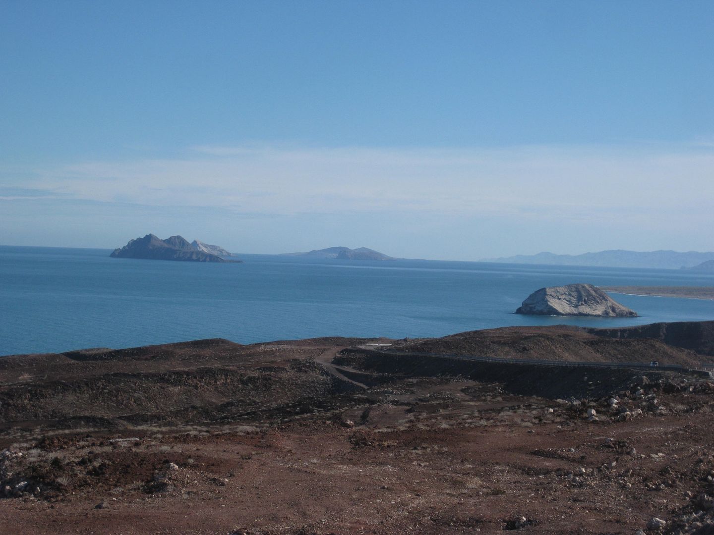

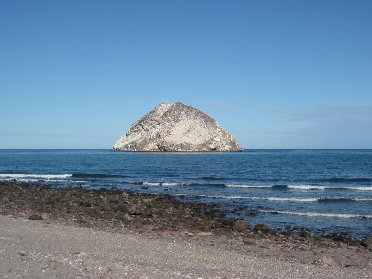
Isla El Huerfanito, the Little Orphan Island... set off away from the other Enchanted Islands.
Not much for camping offered.
Was actually not bad, I was shown the inside too. $30/night.
Km. 143
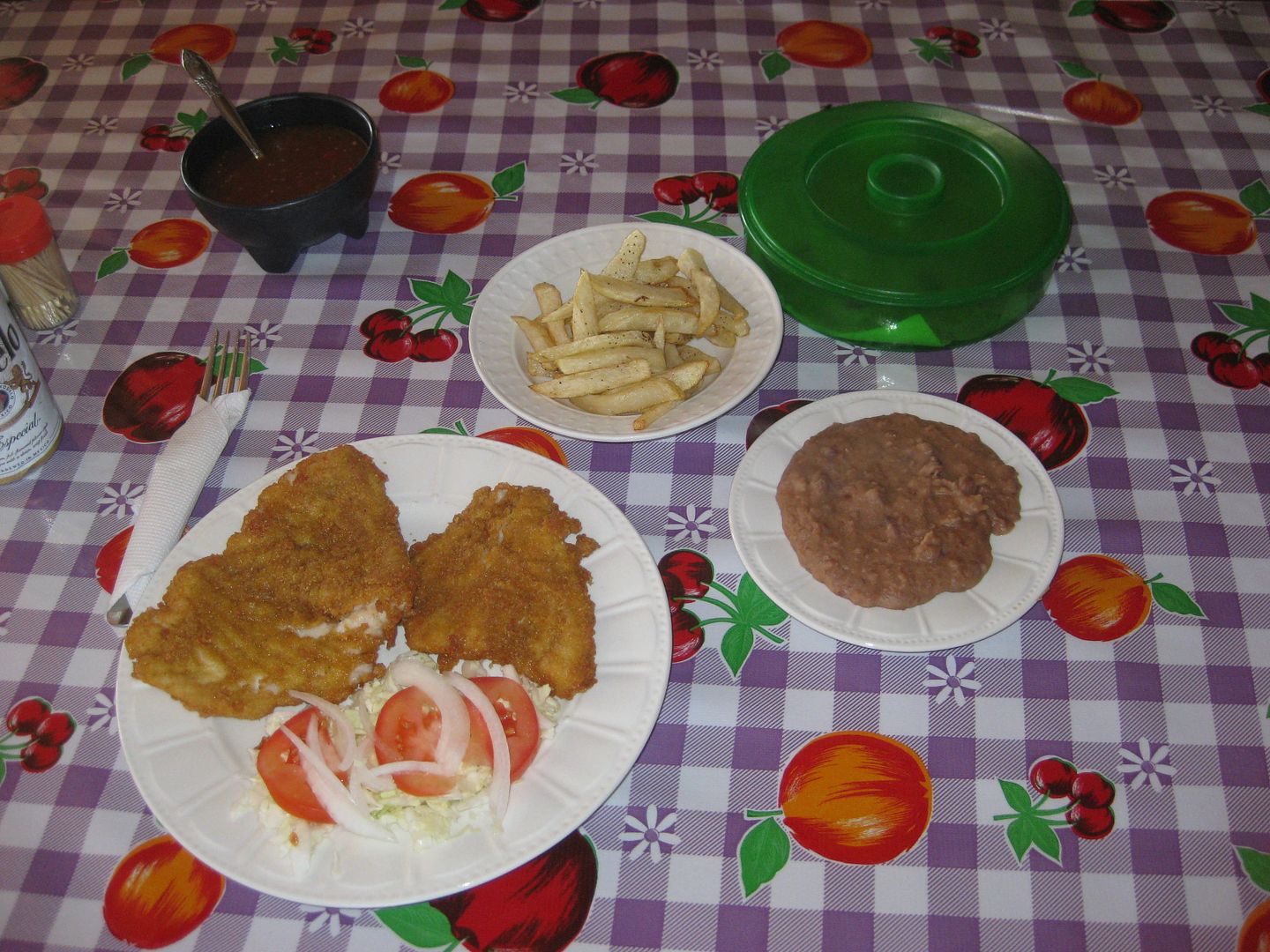
I had dinner here... cabrilla... was great and only US $7 or 98 pesos (=$5).
Thursday afternoon.
To be continued...
|
|
|
BigBearRider
Super Nomad
Posts: 1299
Registered: 4-30-2015
Location: Big Bear, Punta Chivato, and Cabo
Member Is Offline
Mood: 
|
|
Very nice!
Funny enough, I was at the Day 2 places last week too. Including Nuevo Mazatlan.
The burgundy VW wasn't at Percebu, but the RV was.
The guy at Puertecitos quoted us $5 each to take a dip in the hot springs, for whatever it's worth. It seemed like too much.
(And, as I'm sure you know, 200 pesos is less than $10, unless you are getting ripped...)
|
|
|
David K
Honored Nomad
Posts: 64479
Registered: 8-30-2002
Location: San Diego County
Member Is Offline
Mood: Have Baja Fever
|
|
| Quote: Originally posted by BigBearRider | Very nice!
Funny enough, I was at the Day 2 places last week too. Including Nuevo Mazatlan.
The burgundy VW wasn't at Percebu, but the RV was.
The guy at Puertecitos quoted us $5 each to take a dip in the hot springs, for whatever it's worth. It seemed like too much.
(And, as I'm sure you know, 200 pesos is less than $10, unless you are getting ripped...) |
I bought my pesos at 20:1 in Calexico on Tuesday... so that is my benchmark for conversion on this trip. 200 pesos = $10 of my money.
I have much more to come... I wondered if we passed each other? I saw almost 0 American vehicles on the trip. It was just like the old days when I was
a kid!
[Edited on 1-5-2017 by David K]
|
|
|
BigBearRider
Super Nomad
Posts: 1299
Registered: 4-30-2015
Location: Big Bear, Punta Chivato, and Cabo
Member Is Offline
Mood:
|
|
You mistakenly wrote 200 pesos was $20 when discussing the fee for Puertecitos...
I've never quite understood Puertecitos. It just seems pretty inhospitable.
Cool stuff about the lost grave. It would be quite a feat to find it.
[Edited on 1-5-2017 by BigBearRider]
|
|
|
Nashville Frank
Junior Nomad
Posts: 95
Registered: 12-5-2016
Location: Nashville, TN
Member Is Offline
Mood: Baja happy
|
|
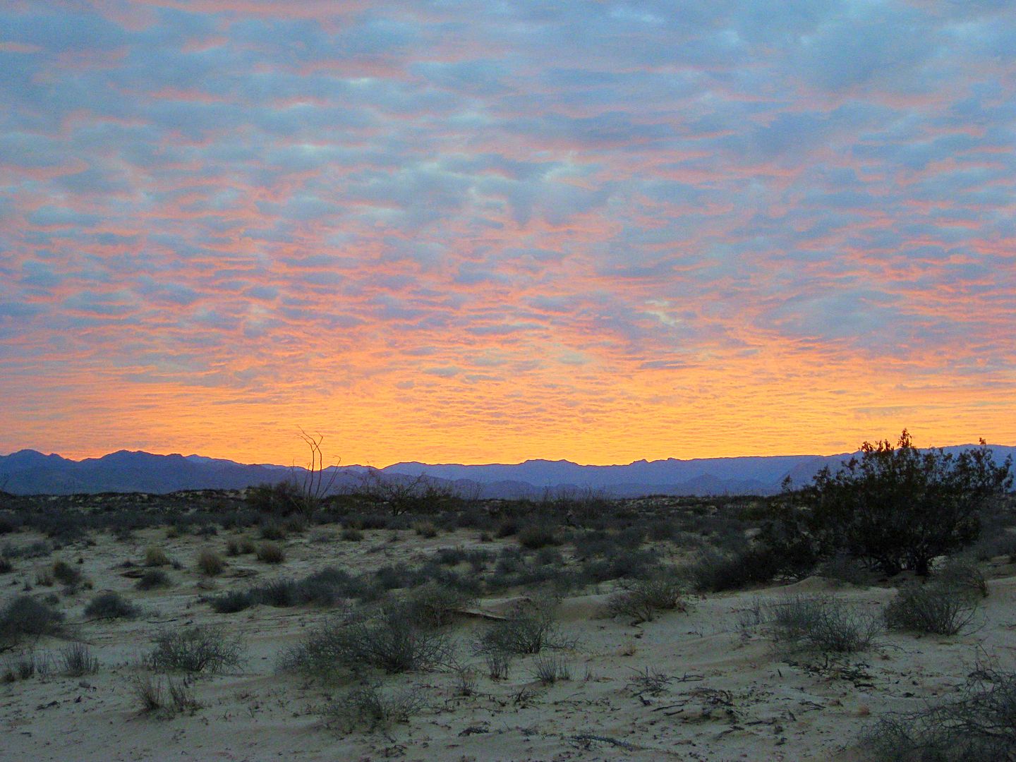
OOOOOOOOOHHHHHHHH! That sunset! Magnifico! Espléndido! Maravilloso! Estupendo! Increíble! Bellísimo!
Well done David!
|
|
|
David K
Honored Nomad
Posts: 64479
Registered: 8-30-2002
Location: San Diego County
Member Is Offline
Mood: Have Baja Fever
|
|
That was God's doing! I have some really wild sunset photos from other trips. Maybe a thread on Sunset photos is an idea?
|
|
|
BigBearRider
Super Nomad
Posts: 1299
Registered: 4-30-2015
Location: Big Bear, Punta Chivato, and Cabo
Member Is Offline
Mood:
|
|
I guess I'm missing something, then. You reference 200 pesos being $10 and $20. Is one a reference to a historic exchange rate?
|
|
|
TMW
Select Nomad
Posts: 10659
Registered: 9-1-2003
Location: Bakersfield, CA
Member Is Offline
|
|
Great stuff DK. When Roy and I were in Baja in Dec. the exchange rate was 20 pesos per dollar so 200 pesos would be $10 you got taken.
|
|
|
David K
Honored Nomad
Posts: 64479
Registered: 8-30-2002
Location: San Diego County
Member Is Offline
Mood: Have Baja Fever
|
|
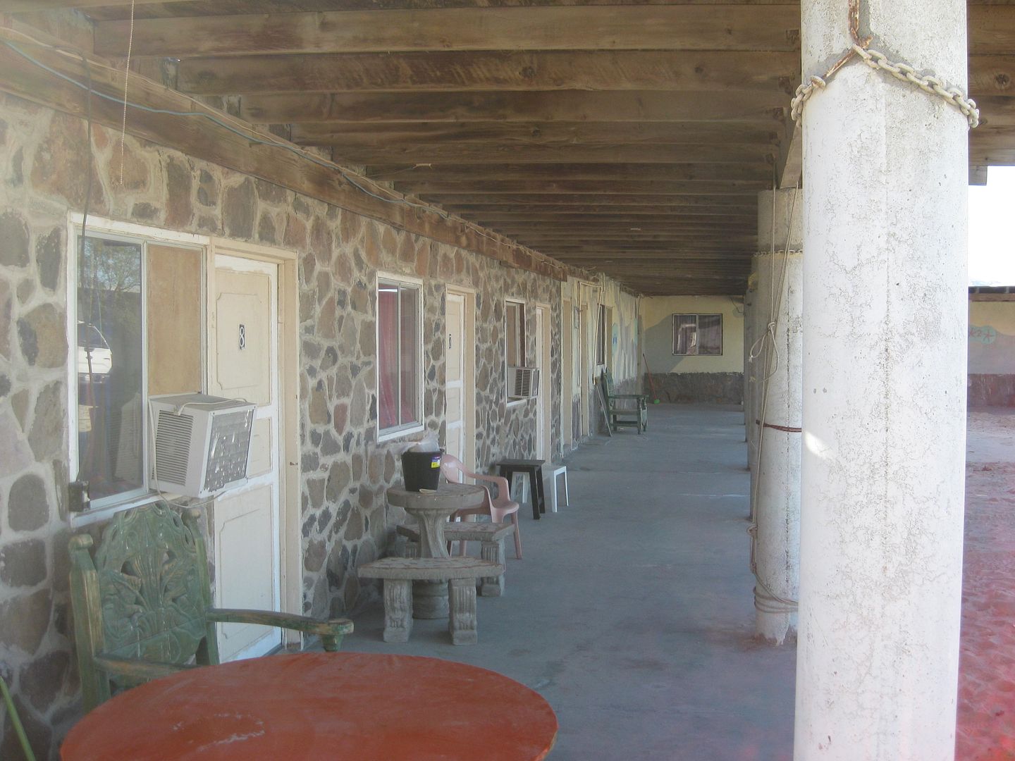
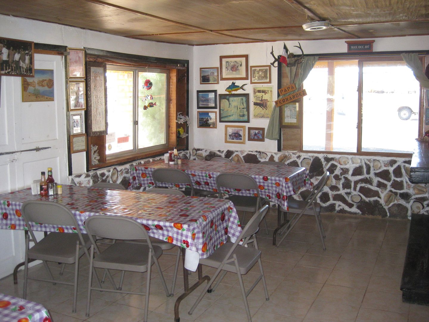
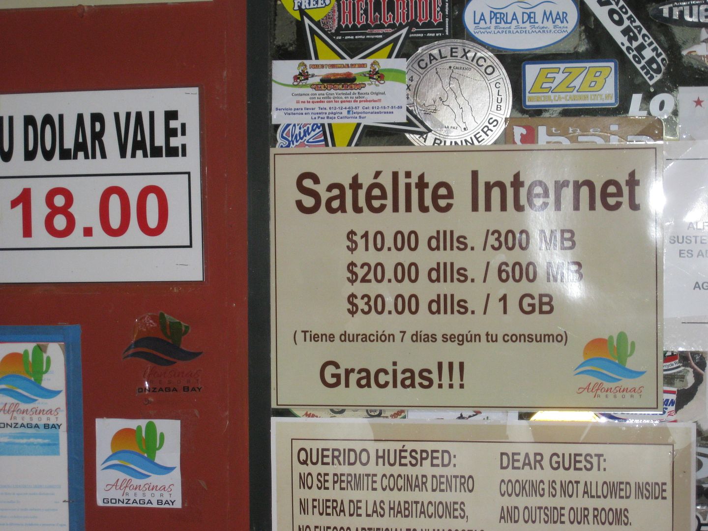
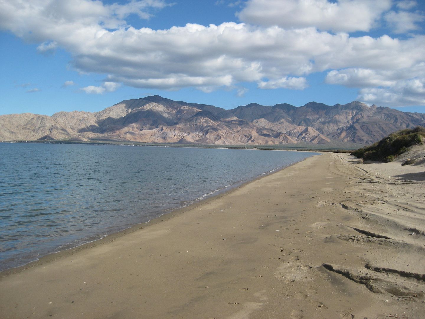
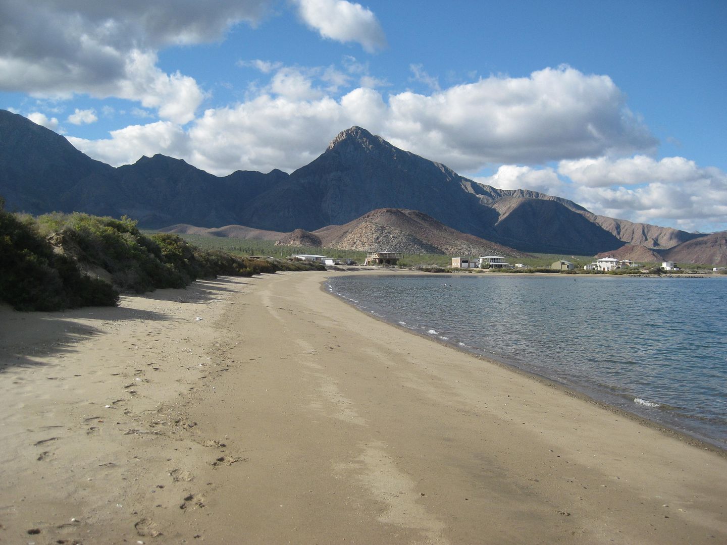
Alfonsina's Motel & Restaurant (Km. 147 and 1.8 miles in):
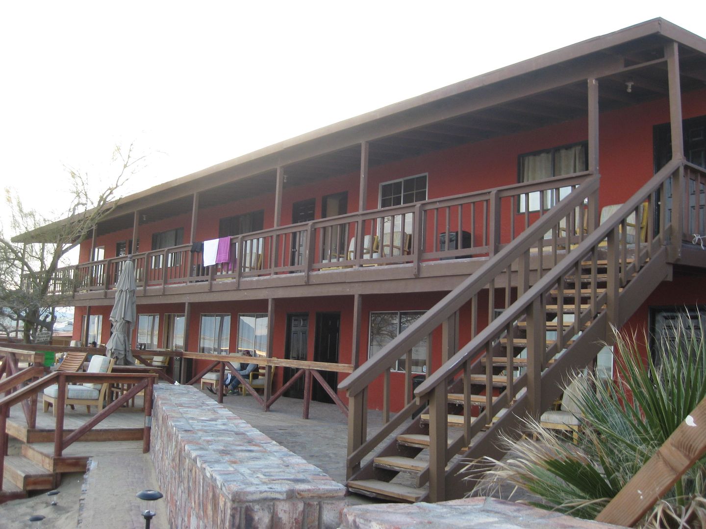

Km. 149+ (2.0 miles in)
$20 or 350 pesos (quoted prices for camping), cabins are $40.
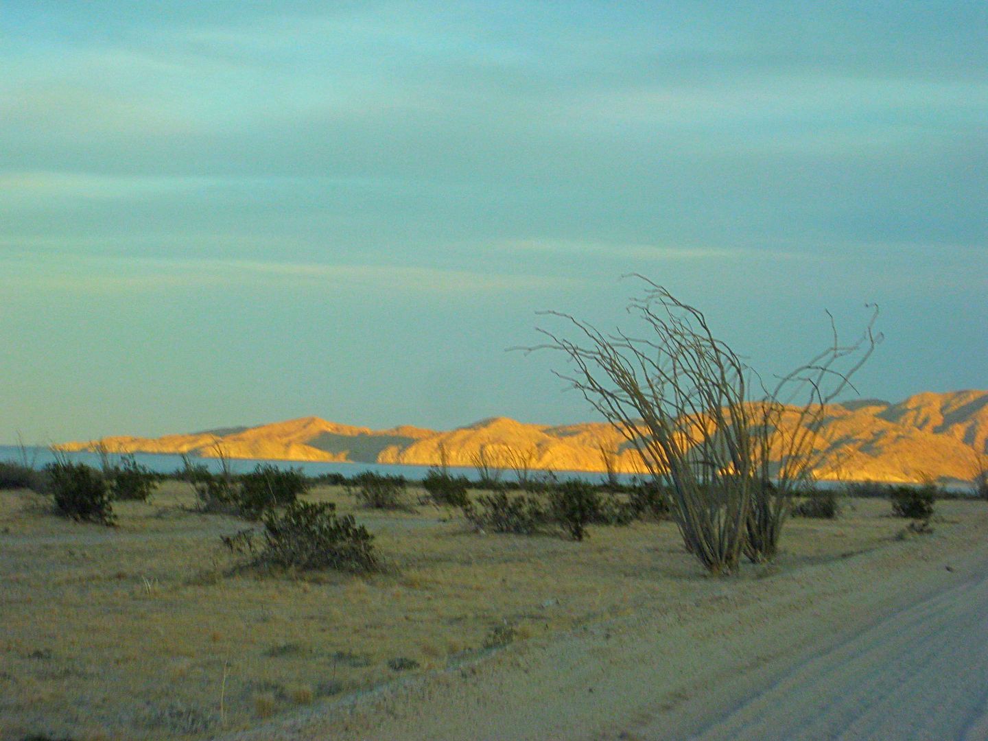
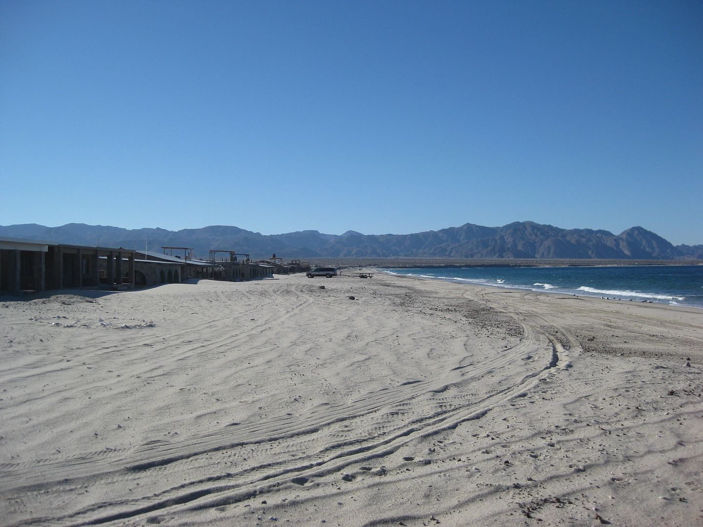
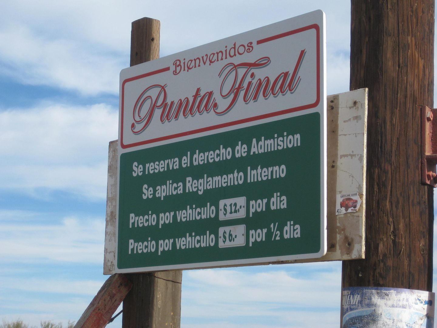
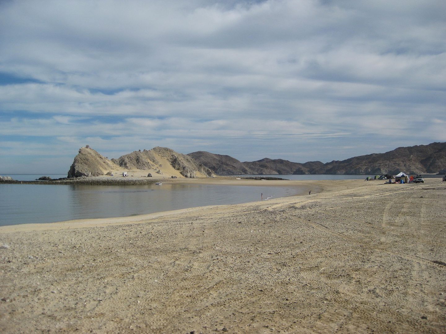
Punta Final as the sun goes down.
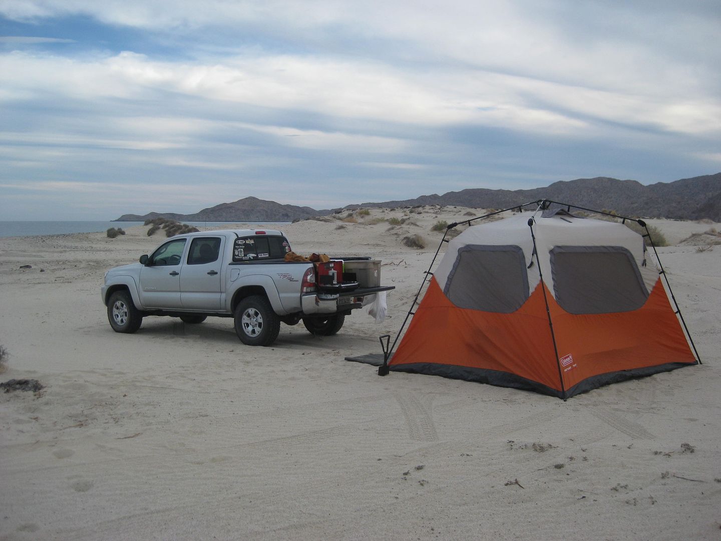
My camp between El Sacrificio and Punta Final on Thursday night.
Friday 12-30-16:
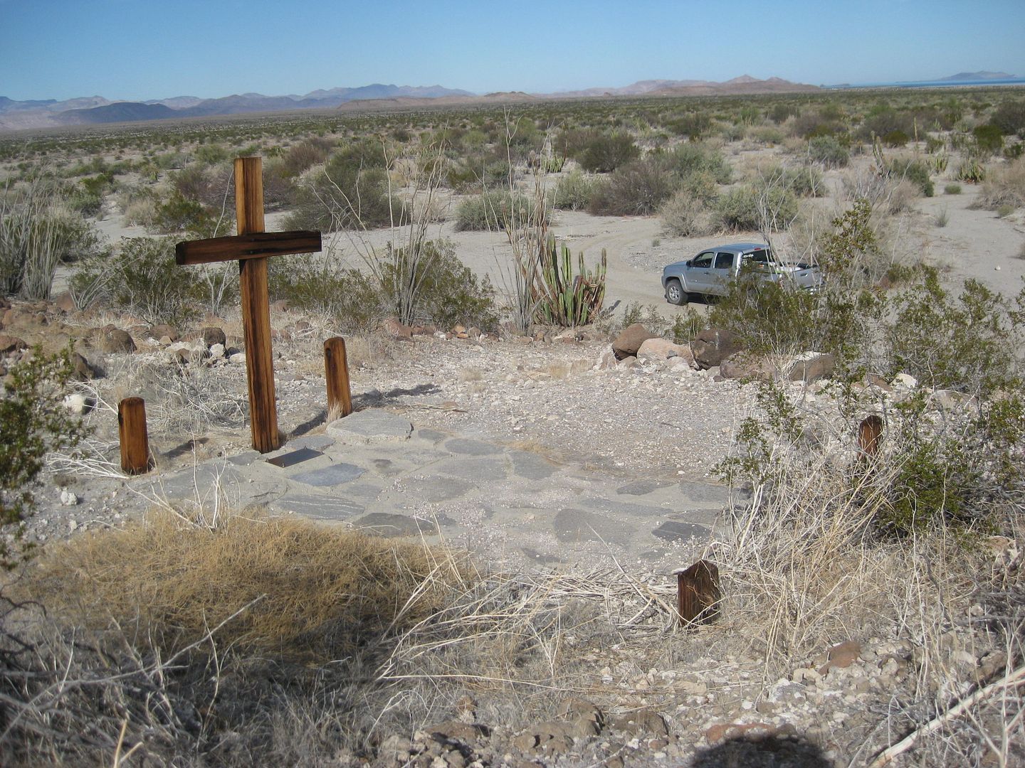
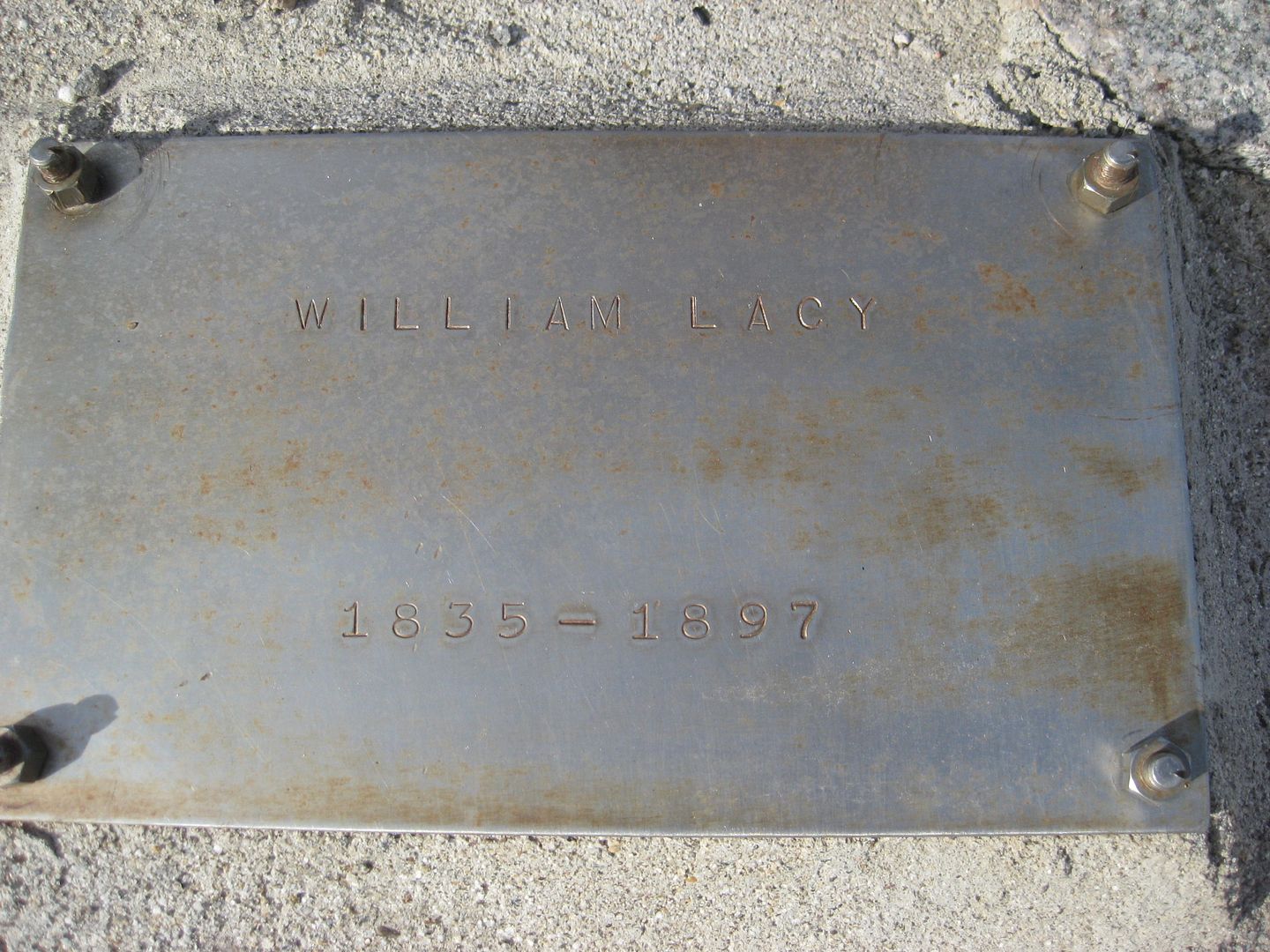
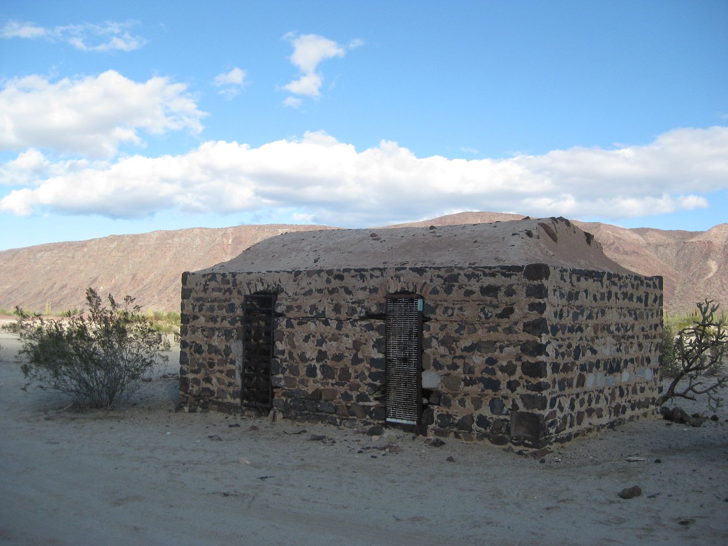
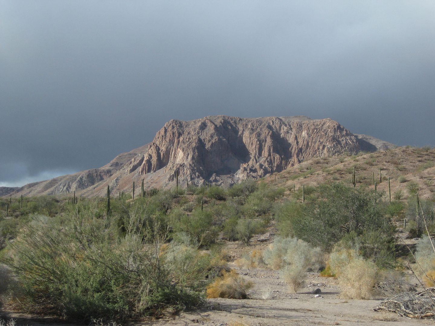
Grave of William Lacy at his mill site, Molino de Lacy (Molino de San Francisquito before he died).
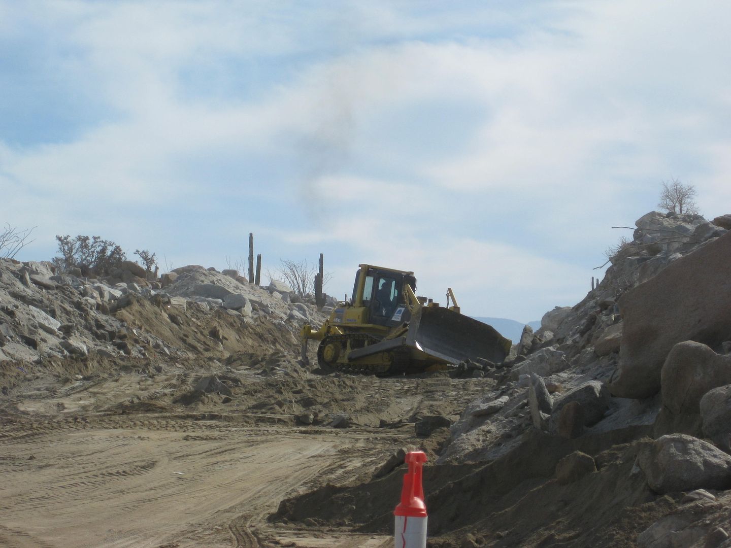
New construction, 3 miles south of end of pavement. The pavement ended by a new Km. 170 post, however, it is really Km. 167... since a Km. 165 post is
1.2 miles (2 km.) north and the rest are all correct going north.
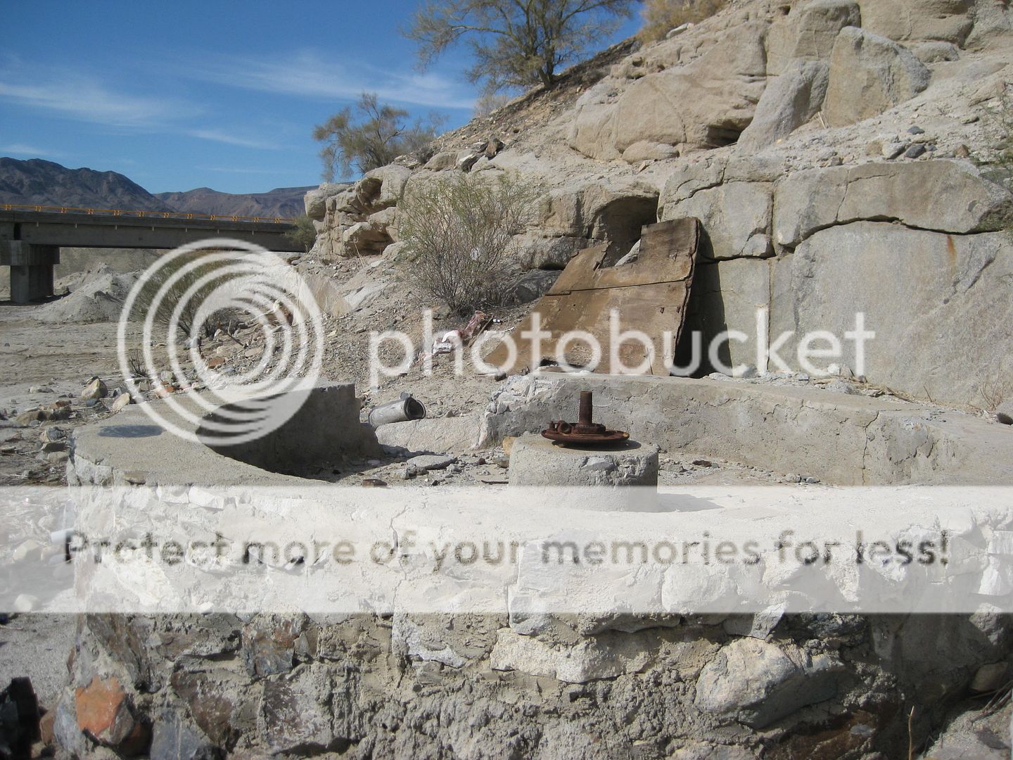
Las Arrastras de Arriola site is safe from the new highway... see the bridge in the background.
When I wrote about Las Arrastras las year, I was concerned that new road construction would destroy the historic gold milling site. Read more: https://www.bajabound.com/bajaadventures/bajatravel/las_arra...
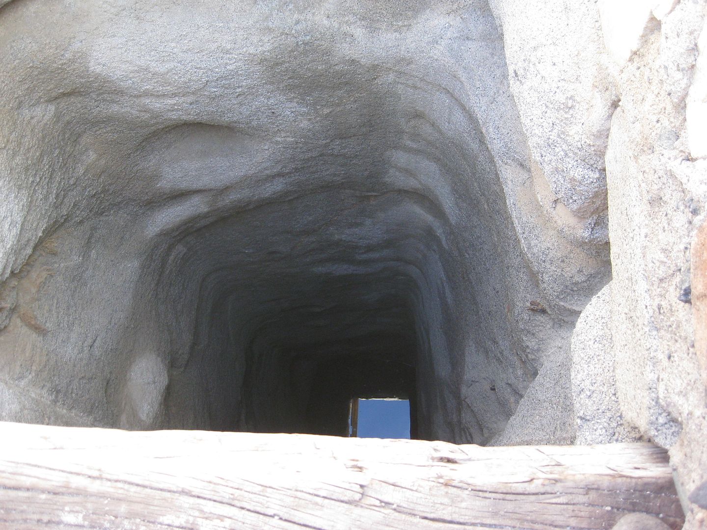
Looking down the well at Las Arrastras.
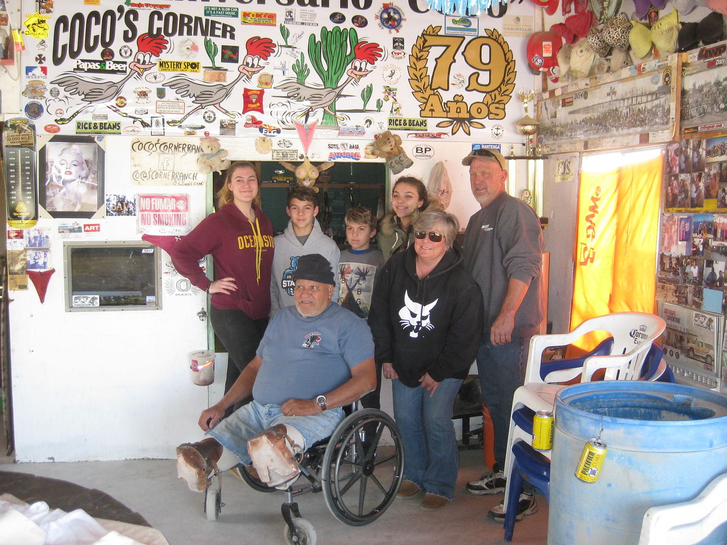
Coco in a group photo when I came in.
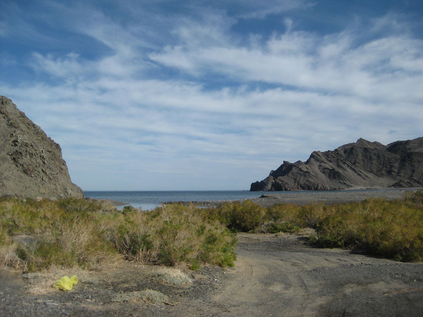
Puerto Calamajué was a real disappointment after the long drive.
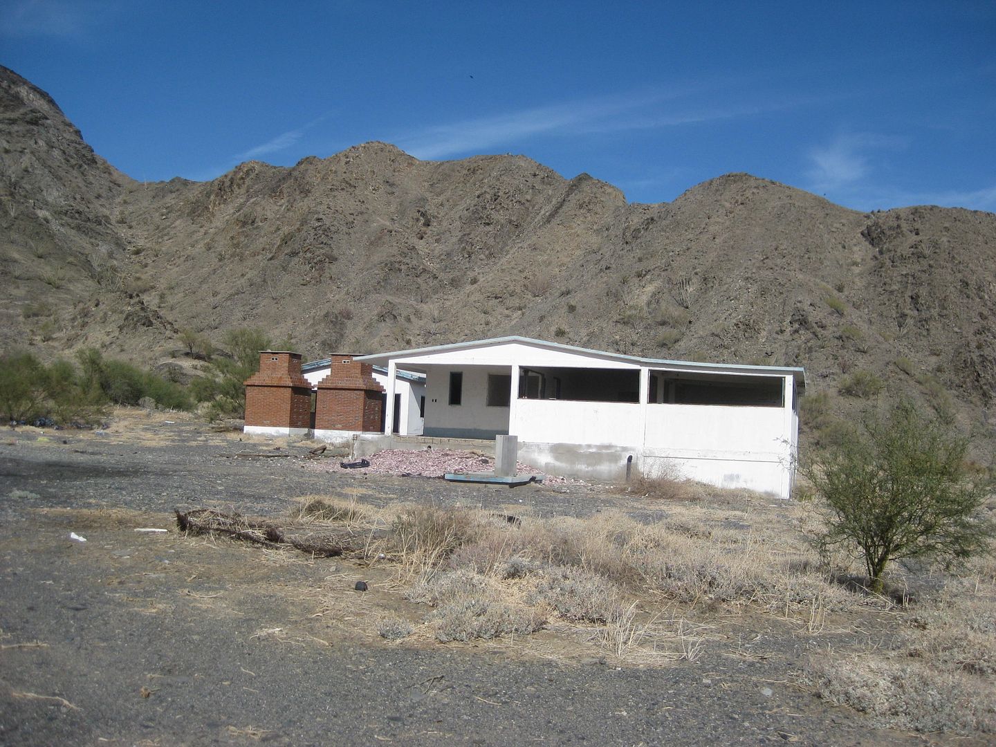
The graded road ended at this house and shrubs blocked a view or access to the beach.
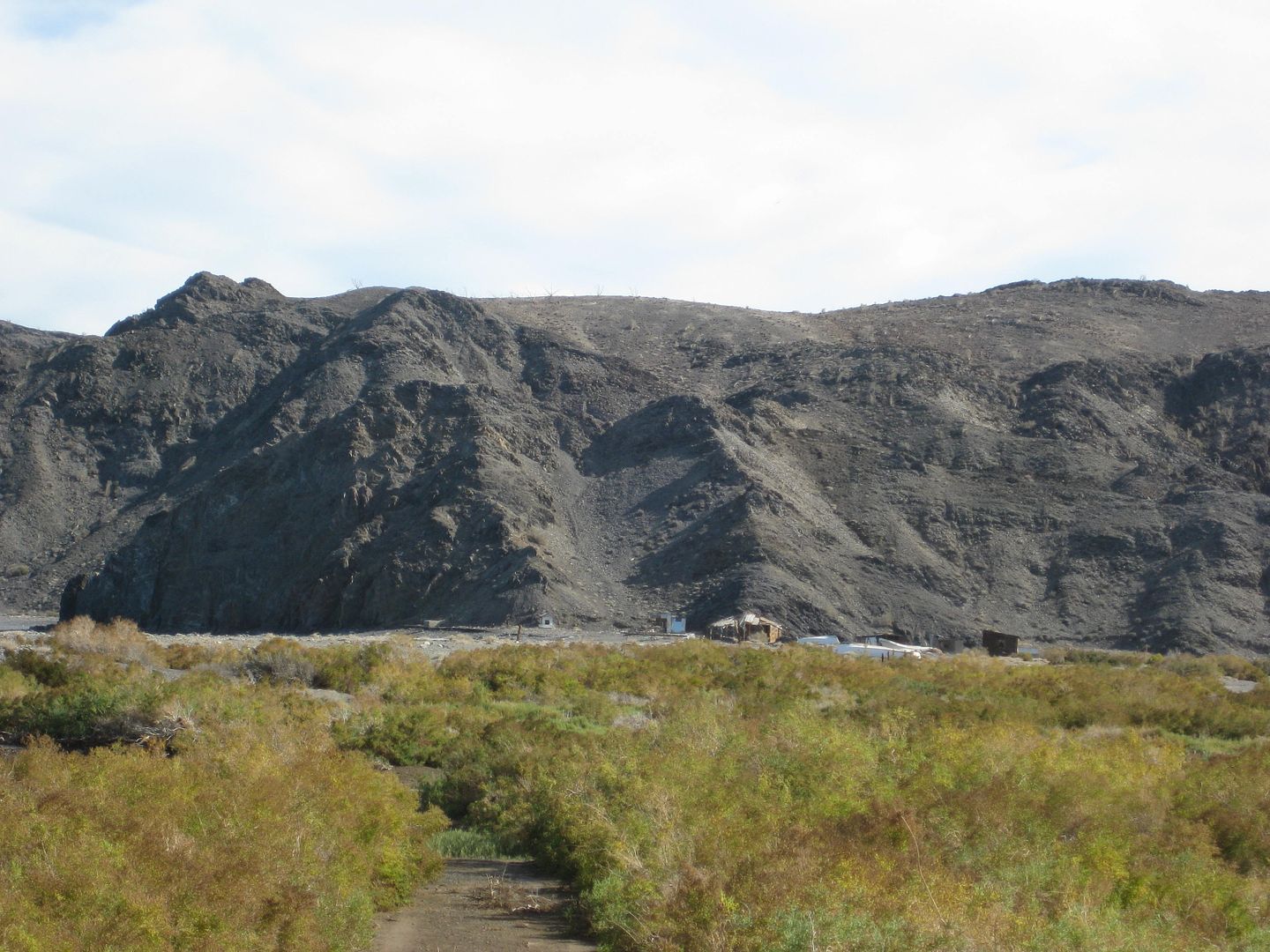
Fishing shacks could only be reached across the mud flat.
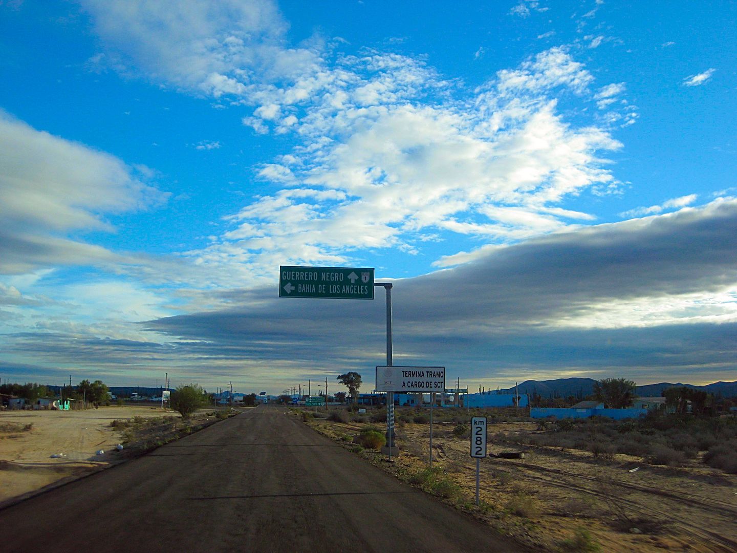
The L.A. Bay Junction on Hwy. 1 (Km. 282/Km. 0)
Despite the Google maps all calling the L.A. Bay 40 mile long paved highway 'Mexico #12', not one sign or mile post does. It has always been a branch
of Mexico #1.
To be continued...
[Edited on 3-2-2018 by David K]
|
|
|
David K
Honored Nomad
Posts: 64479
Registered: 8-30-2002
Location: San Diego County
Member Is Offline
Mood: Have Baja Fever
|
|
| Quote: Originally posted by TMW | | Great stuff DK. When Roy and I were in Baja in Dec. the exchange rate was 20 pesos per dollar so 200 pesos would be $10 you got taken.
|
I got my pesos in Calexico, across and on the south corner from Pep Boys... For US$200 I got 4000 pesos, and some U.S. change.
20 pesos was $1. 200 pesos was $10. 2000 was $100, etc. I didn't get taken anywhere, it was a great trip.
I corrected a typo/ brain fart earlier. 200 pesos was always (for me) $10, on this trip.
[Edited on 1-5-2017 by David K]
|
|
|
Fatboy
Senior Nomad
Posts: 713
Registered: 6-28-2005
Member Is Offline
|
|
Puerto Calamajué .... Had no problem getting to the beach in 2016.... Of course rain could change that since you do drive across the mud flat like you
said, but no problem.
So while the graded road stays to the left/north and ends at the old processing building I would be hard pressed to say it is a disappointment because
the main graded road doesn't allow easy access to the beach at the end of it.
Heading down on motorcycles in Mid-January and will spend some time looking for the Henderson Rockpile since it looks like it is still 'misplaced'.
Will you post GPS waypoints or tracks of where you looked on this trip?
|
|
|
David K
Honored Nomad
Posts: 64479
Registered: 8-30-2002
Location: San Diego County
Member Is Offline
Mood: Have Baja Fever
|
|
Bahia de los Angeles areas Friday and Saturday 30th, 31st

[Edited on 1-6-2017 by David K]
|
|
|
David K
Honored Nomad
Posts: 64479
Registered: 8-30-2002
Location: San Diego County
Member Is Offline
Mood: Have Baja Fever
|
|
| Quote: Originally posted by Fatboy | Puerto Calamaju� .... Had no problem getting to the beach in 2016.... Of course rain could change that since you do drive across the mud flat like
you said, but no problem.
So while the graded road stays to the left/north and ends at the old processing building I would be hard pressed to say it is a disappointment because
the main graded road doesn't allow easy access to the beach at the end of it.
Heading down on motorcycles in Mid-January and will spend some time looking for the Henderson Rockpile since it looks like it is still 'misplaced'.
Will you post GPS waypoints or tracks of where you looked on this trip?
|
Thanks for that about Calamajué cove, it was a new moon so high tides and the rain both made the salt flat crossing from the graded road a no go for
me traveling solo. I didn't even camp on Shell Island two nights earlier because of the mud... I was so close and got the one side of my truck a bit
caked.
Can you tell me what the beach is like there? Sandy, gravel, rocky, combo?
Yes, I will share the GPS or map of the search area... it was off Arroyo Grande, as were the others in 2015. The last possible (in my opinion) side
wash that is a west-flowing arroyo from the Sierra Pintas divide.
[Edited on 3-2-2018 by David K]
|
|
|
David K
Honored Nomad
Posts: 64479
Registered: 8-30-2002
Location: San Diego County
Member Is Offline
Mood: Have Baja Fever
|
|
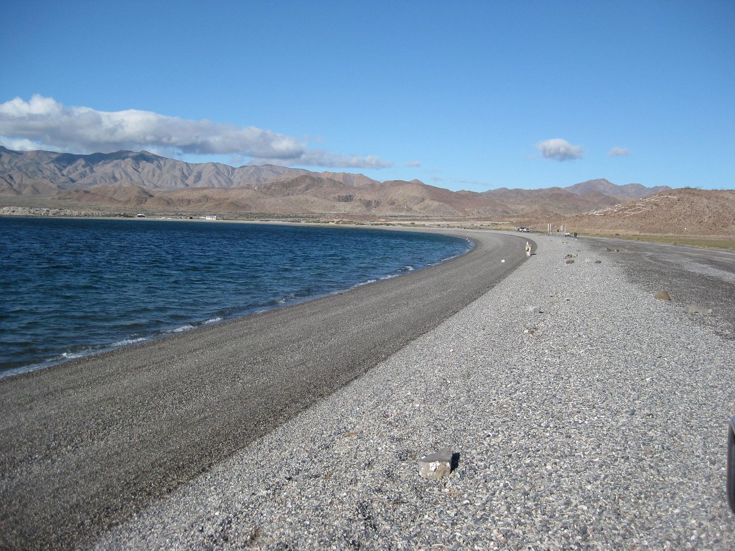
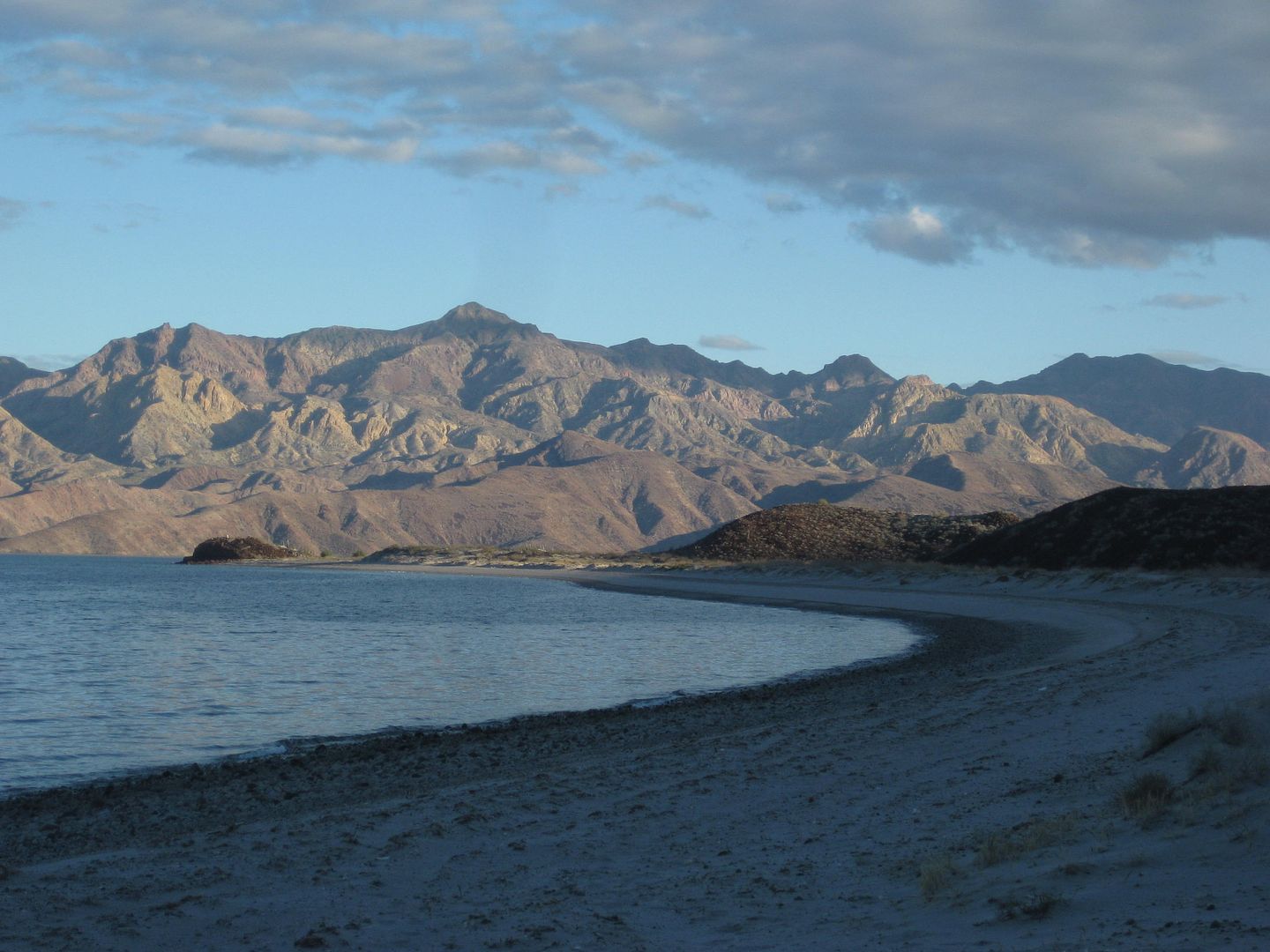
South of L.A. Bay, SAT 12-31-16
Las Flores
For the history on this location: https://www.bajabound.com/bajaadventures/bajatravel/las_flor...
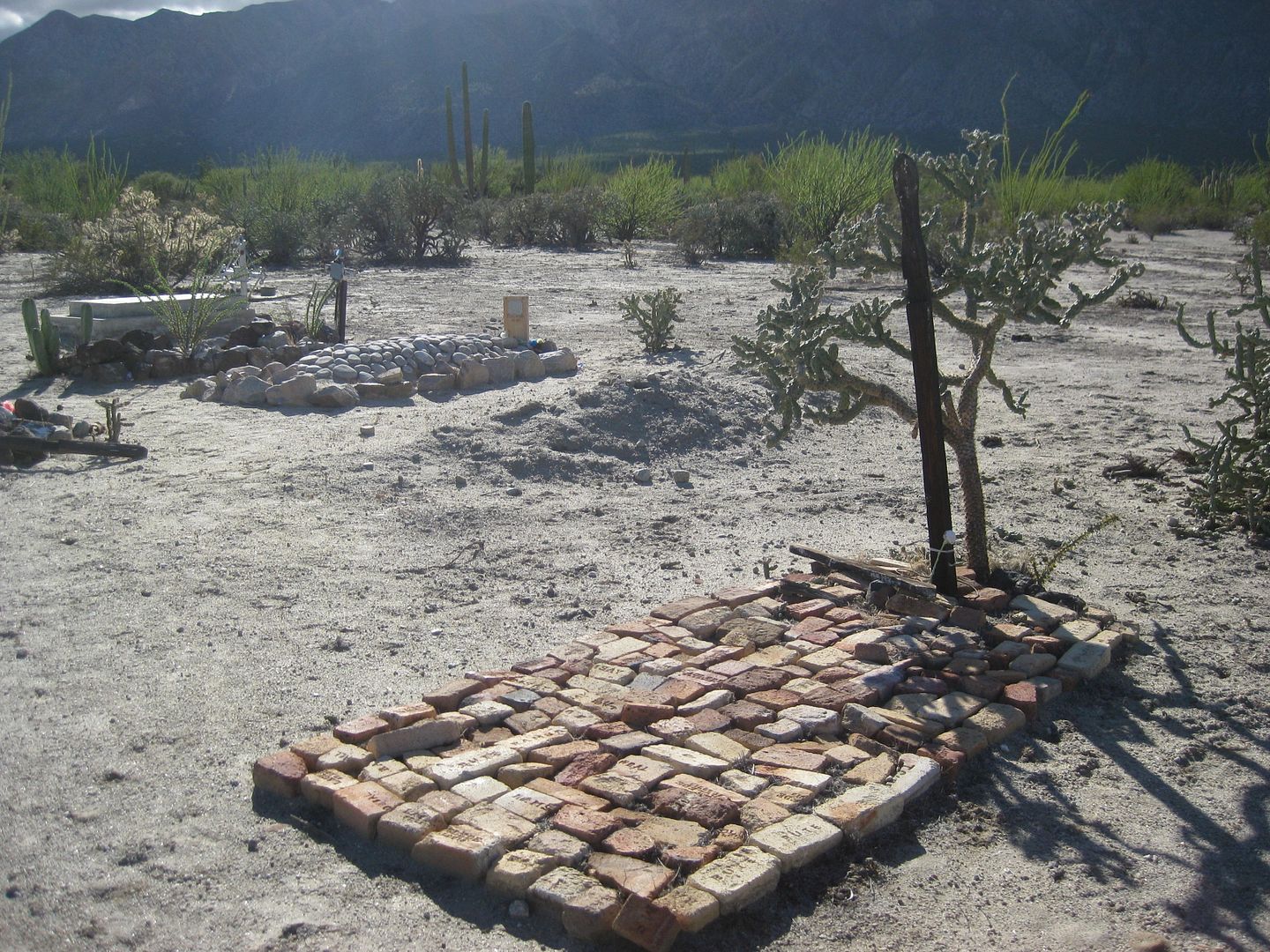
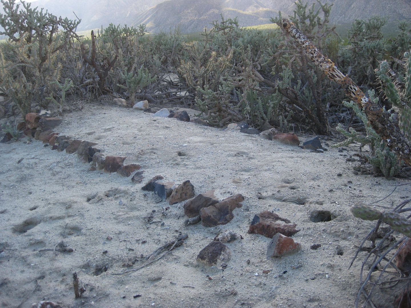
A graveyard for important citizens of Las Flores and Bahia de los Angeles. Many are Daggetts and Arces.
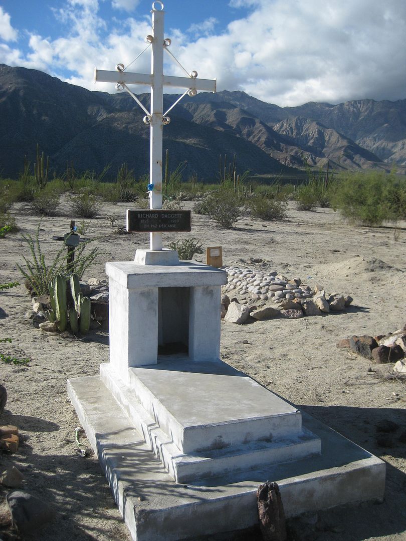
Dick Daggett Jr.
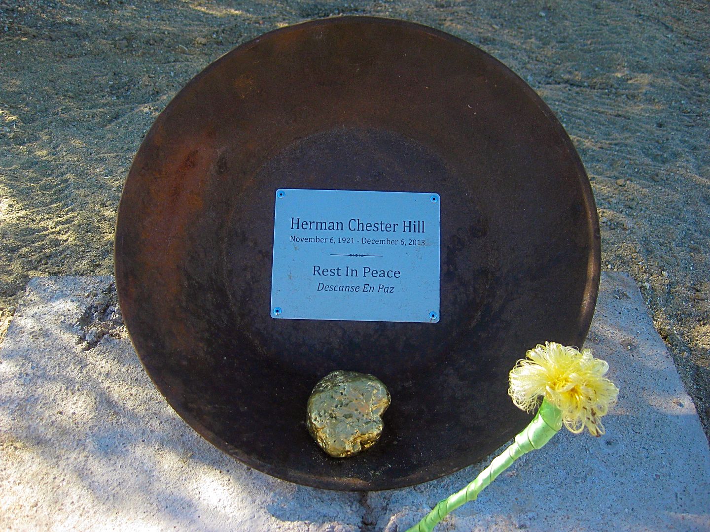
A memorial to gold prospector Herman Hill placed here by Paulina and Dern...
Herman is known from this book of his gold searching stories:

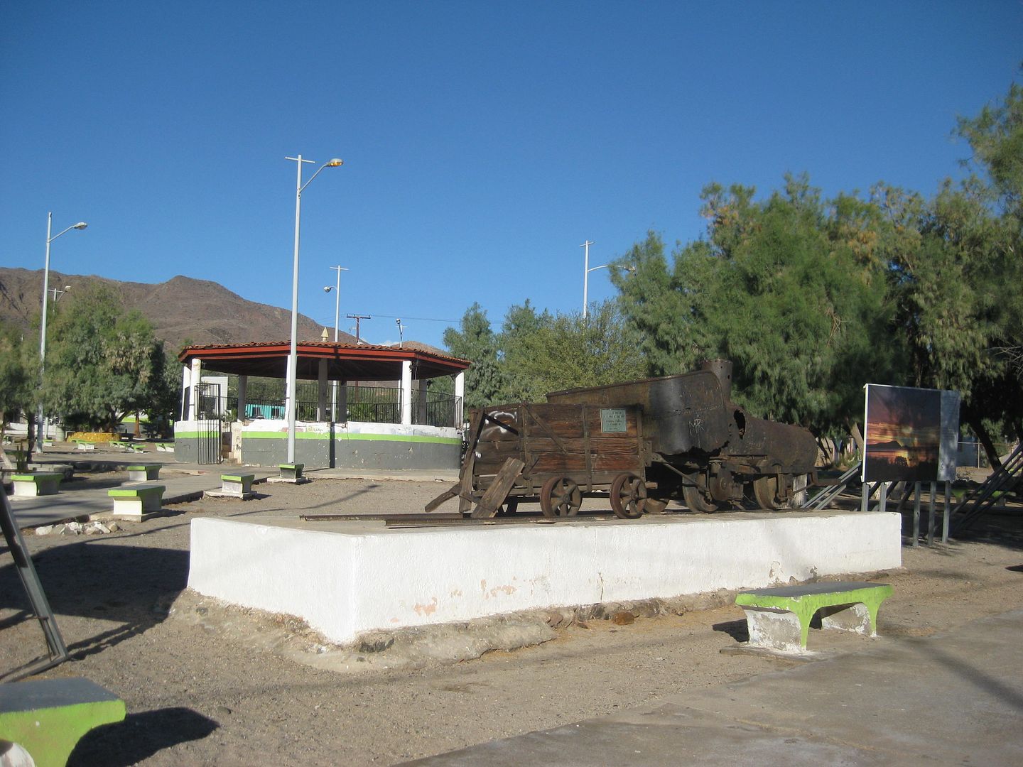
The Las Flores railroad line brought ore to be processed here from 5 miles south, at the foot of the mountain. There, a cable-tram bucket line brought
the ore down from the top of the mountain where another railroad brought the ore from the mine, at nearly the top of the mountain. See more about this
later in this trip report. The train engine is on display in the L.A. Bay town plaza. Behind that engine is an ore car from the other railroad at the
top of the mountain. It used a different gauge track and that is why the ore car does not fit on the same track as the engine.
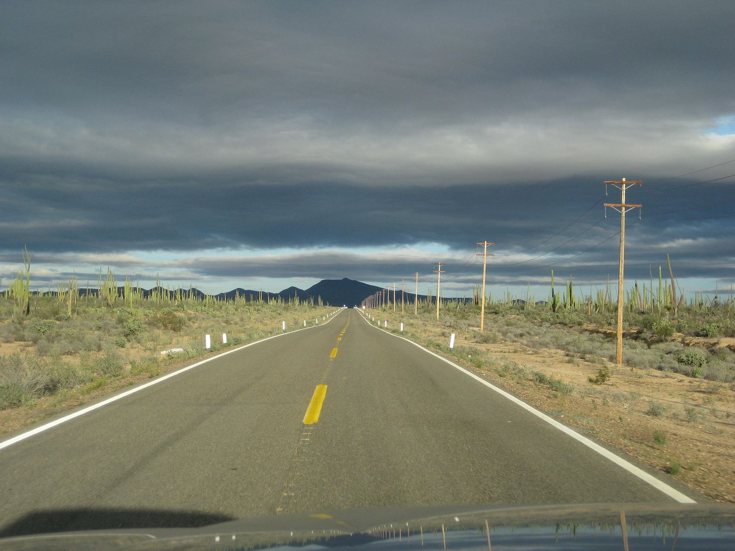
Heading south, the road is mostly very good by Baja standards. There are a couple places one needs to slow down, however.

26 miles from Bahia de los Angeles is this junction. It is 10 miles to the bay shore, 11 to a camping beach, and 12 to another camping beach past the
mangroves. The 11-mile camping beach had a Tacoma with a solo camper, we waved. I chatted with him the next morning on my way out to make sure he was
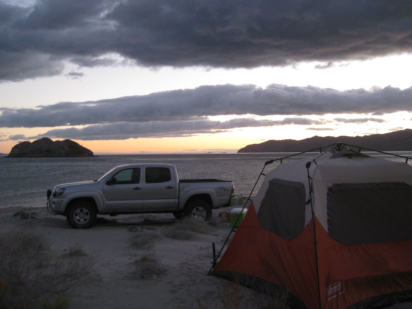
okay. His name was Abe and he was from Colorado. He said he travels around the world spending months at a time exploring. I camped a mile beyod and it
was a beautiful, starry night for New Years Eve.
The next morning, that changed!
|
|
|
David K
Honored Nomad
Posts: 64479
Registered: 8-30-2002
Location: San Diego County
Member Is Offline
Mood: Have Baja Fever
|
|
SUN JAN 1, 2017 Happy New Year
One last look at 2016:
2017:
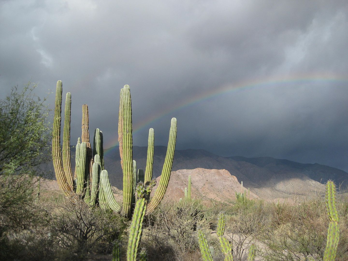
Before the sun was up, the fierce wind kicked up and I scrambled to get camp torn down and the tent stowed away. It began to rain just as I
finished!!!
Happy New Year!!!
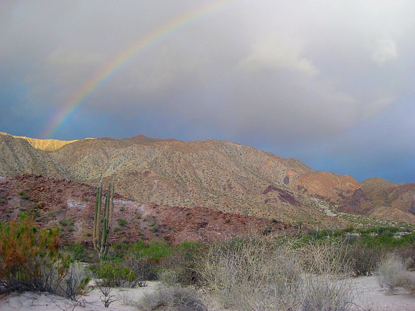
The rainbow lasted until I was miles south... a good omen!
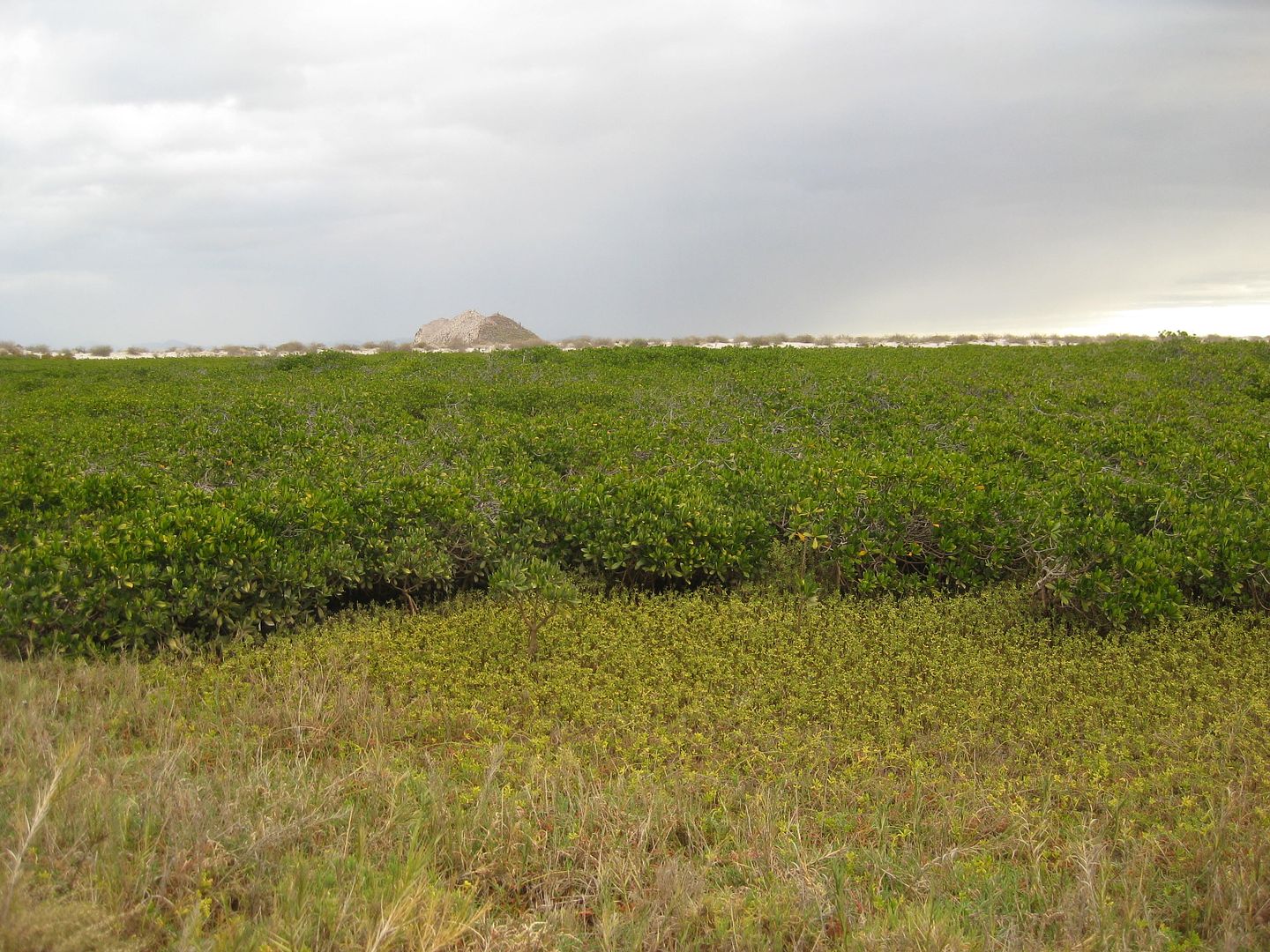
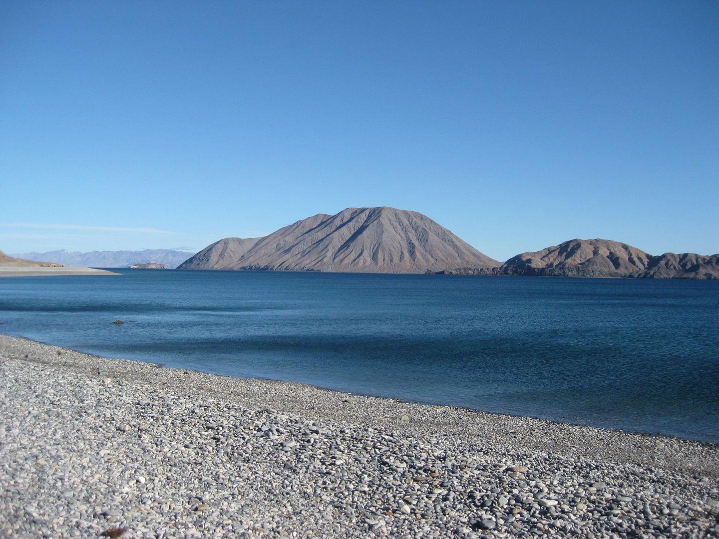
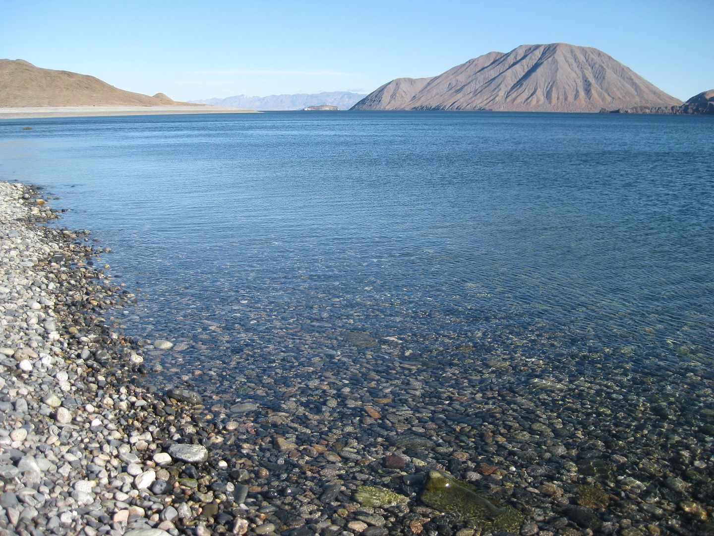
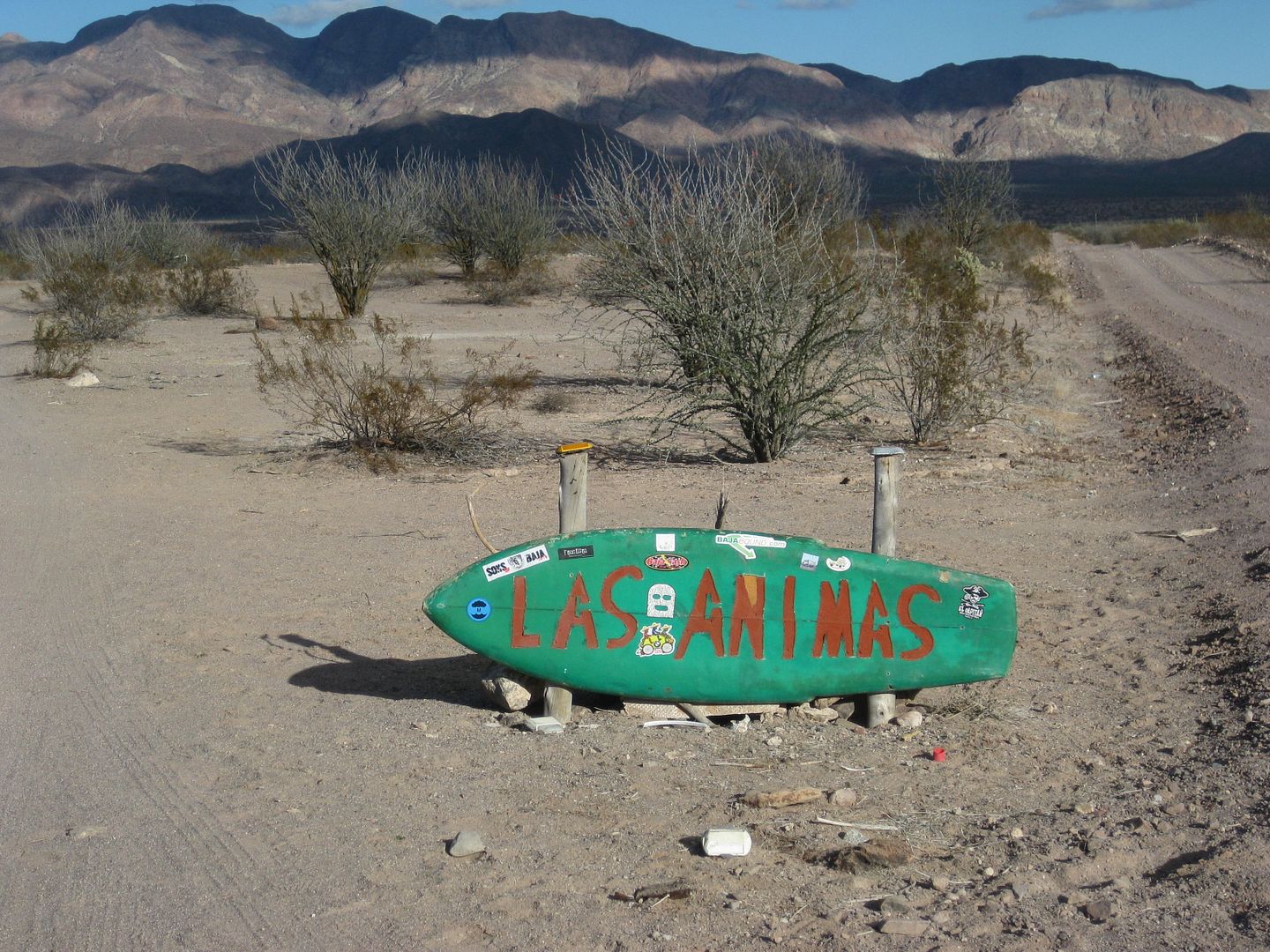
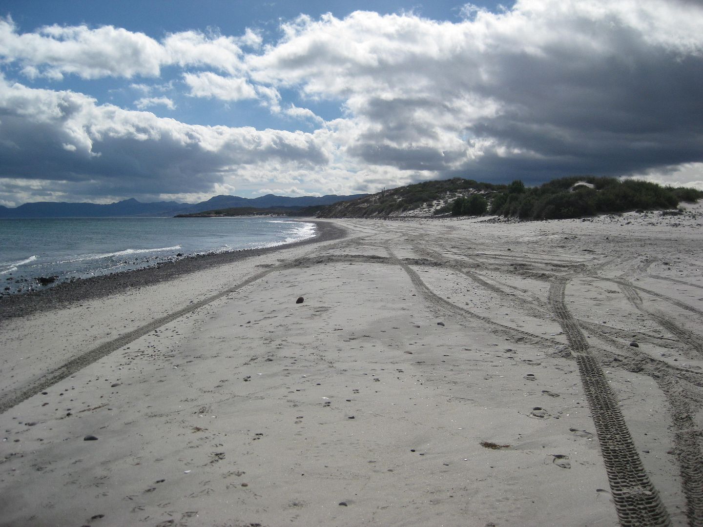
Las Animas mangroves
South shore of Las Animas Bay
There is the mystery wall that so intrigued Erle Stanley Gardner and especially Desert Magazine's Choral Pepper who would research the location and
conclude it (along with the dam below, date palm, and other signs) was part of an aborted Jesuit mission to be called Santa Maria Magdalena. Read more
about it here: https://www.bajabound.com/bajaadventures/bajatravel/mystery_...
The road to the base of the hill, below the wall was obliterated, otherwise, I would have shown more photos or the area. This is about 2 miles south
of the bay.
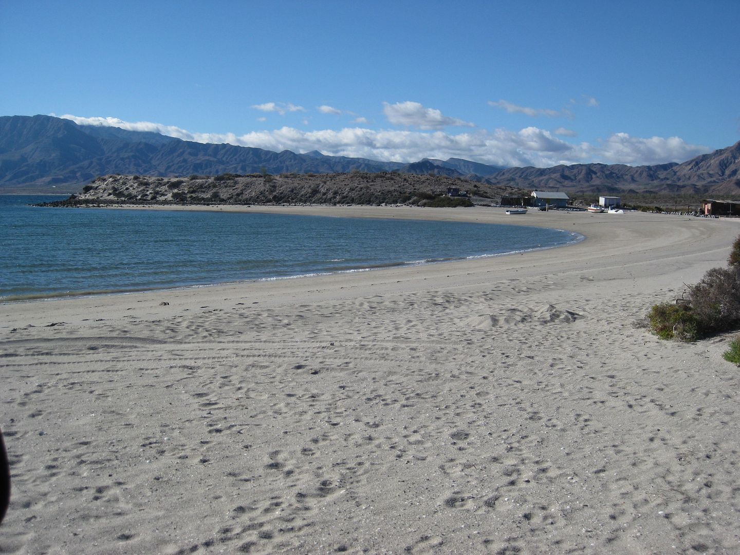
North end of San Rafael bay beach, about 2 miles north of Pancho's place.
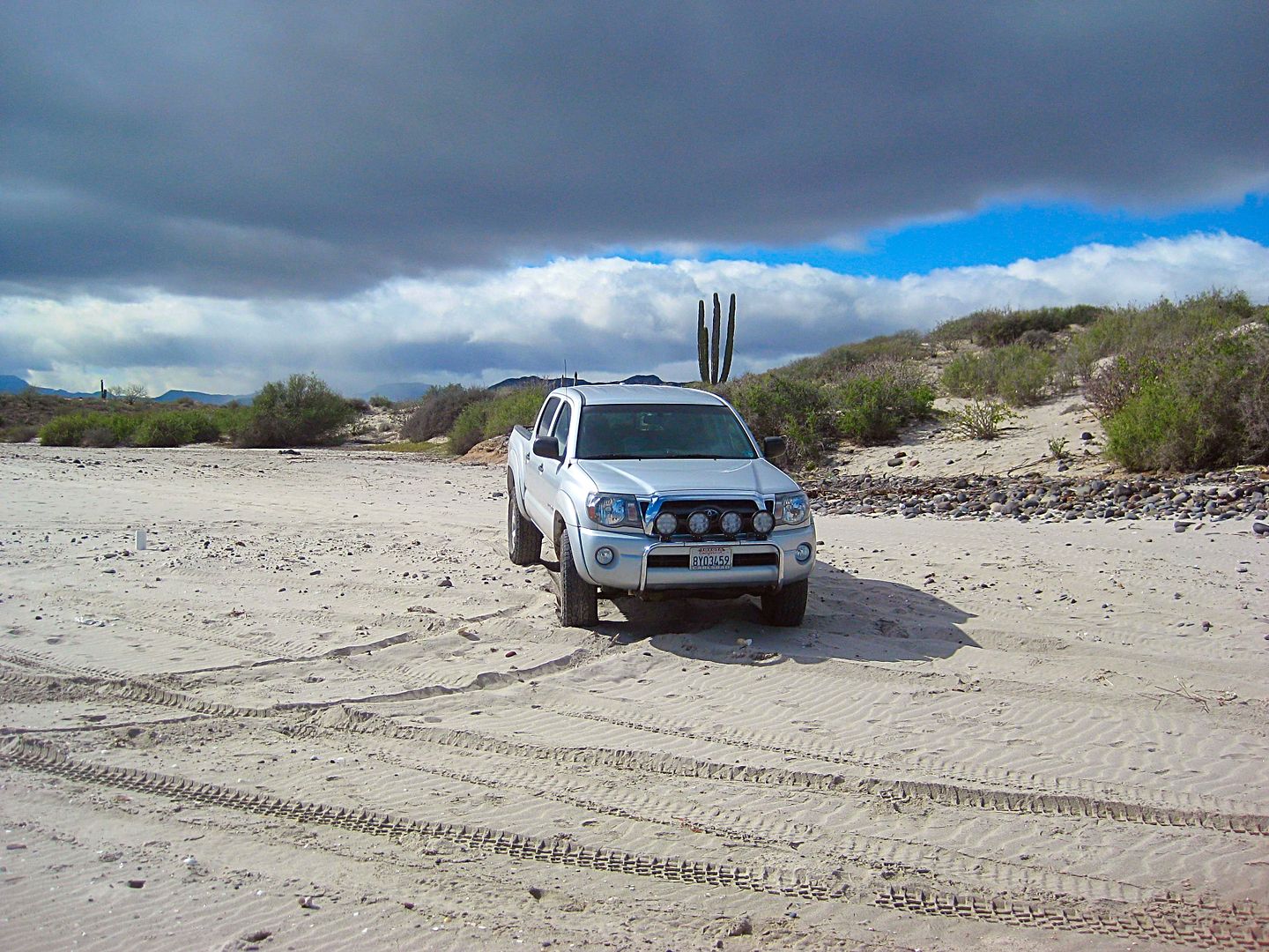
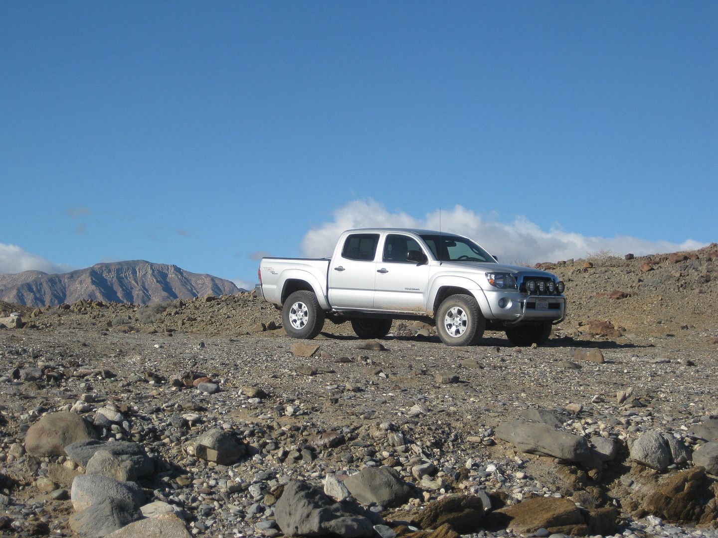
For you Tacoma fans.
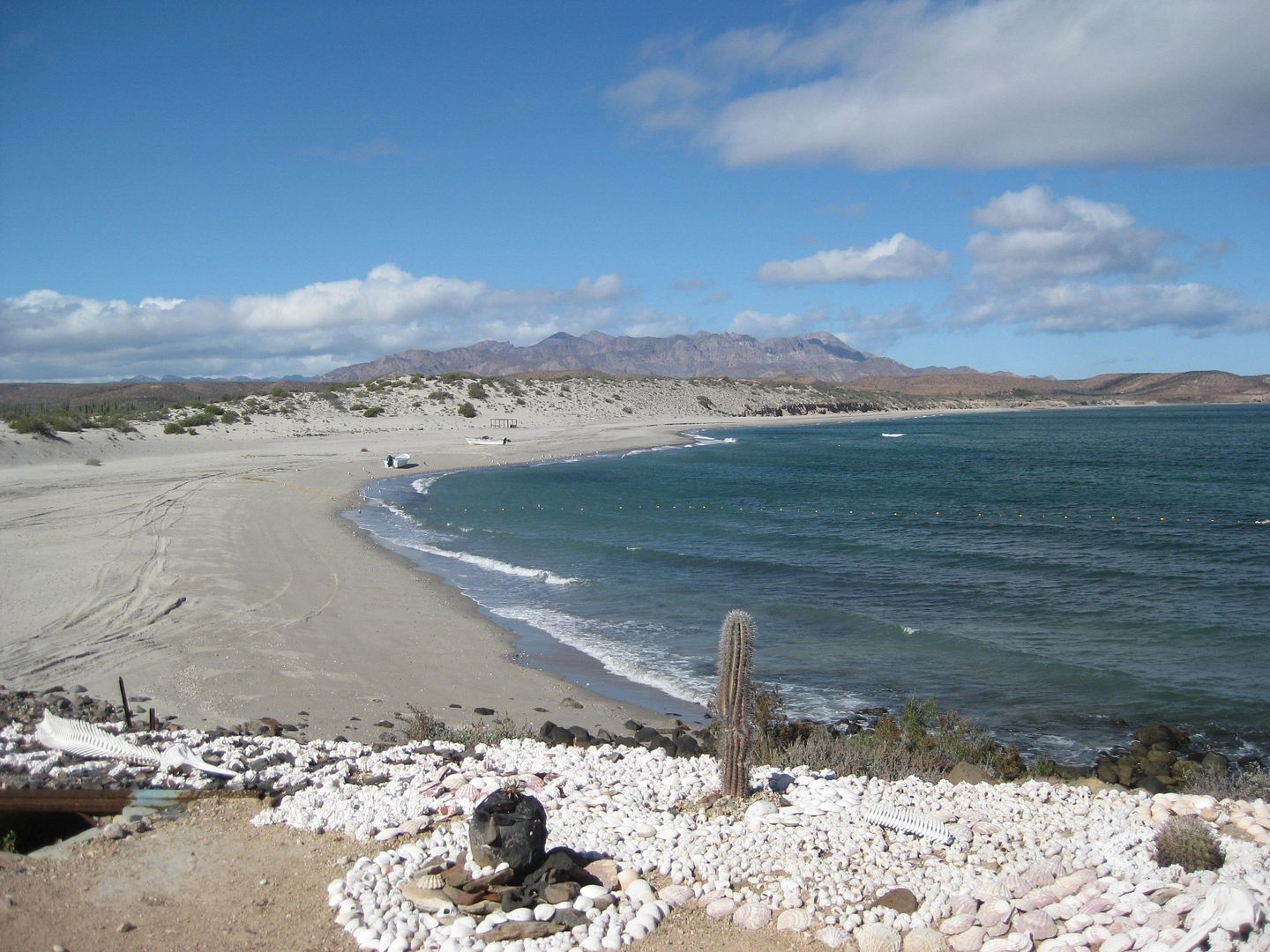
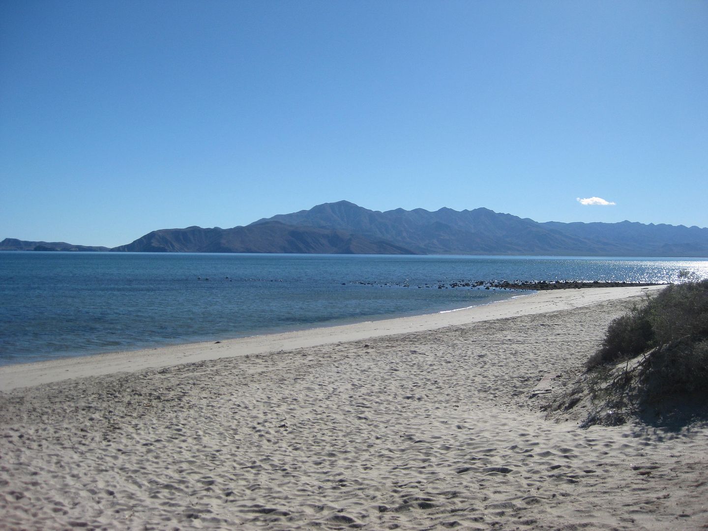
View from Pancho's San Rafael. Note the gill net in the water. The fisherman that was sitting with Pancho down there got up and went to his compound a
bit east of Pancho's house. It was as if he didn't want to be seen with that gill net?
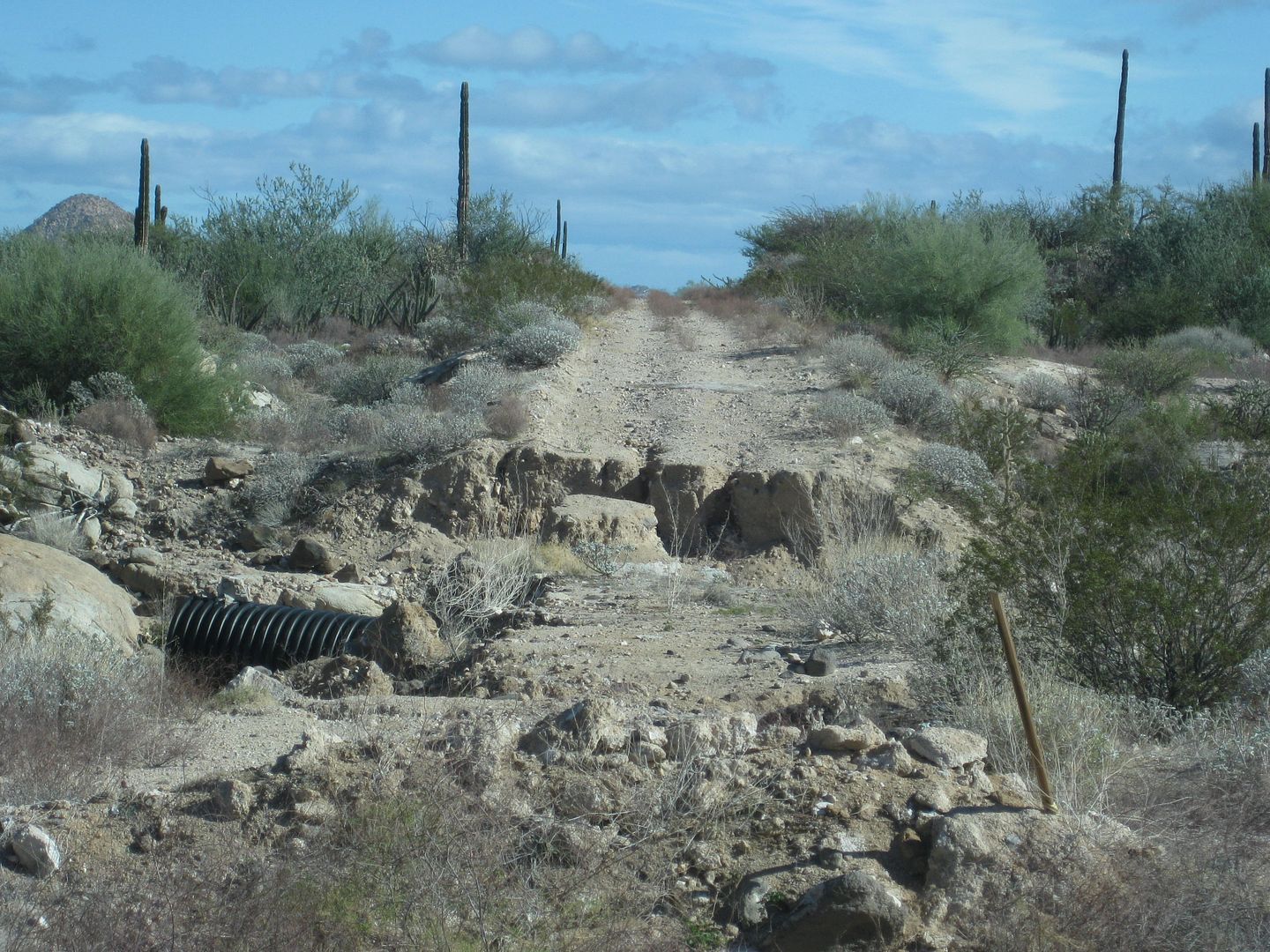
The road south does have two major washouts with detours in place.
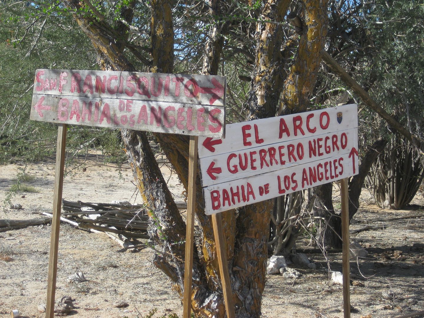
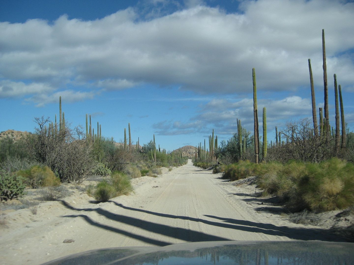
This is the El Arco-San Francisquito highway! Excellent!!
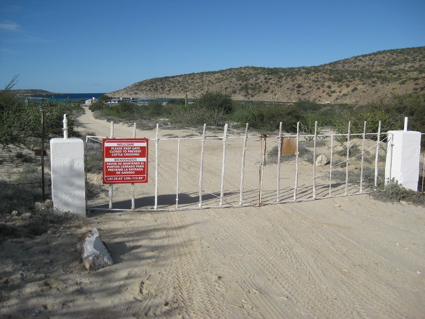
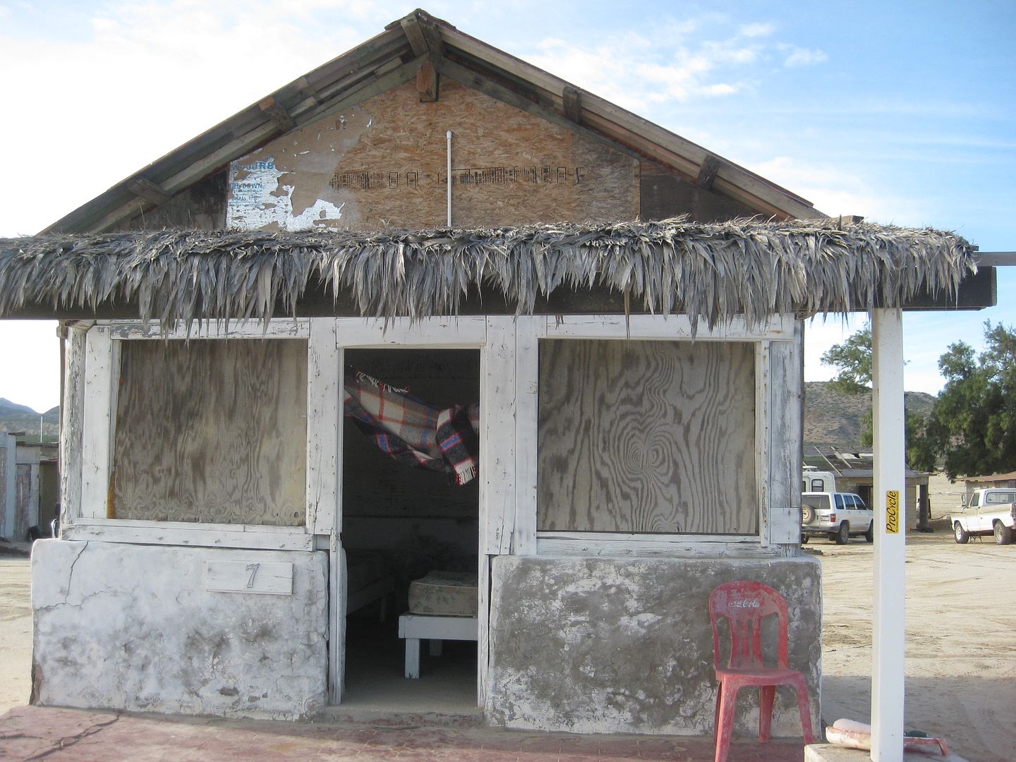
Gate at Beto's driveway, open and drive through, close behind.
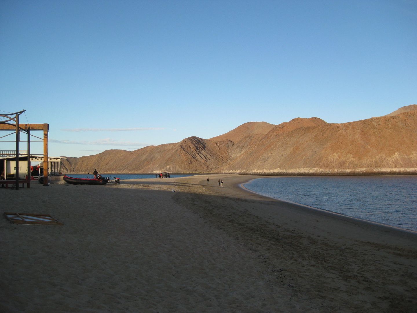
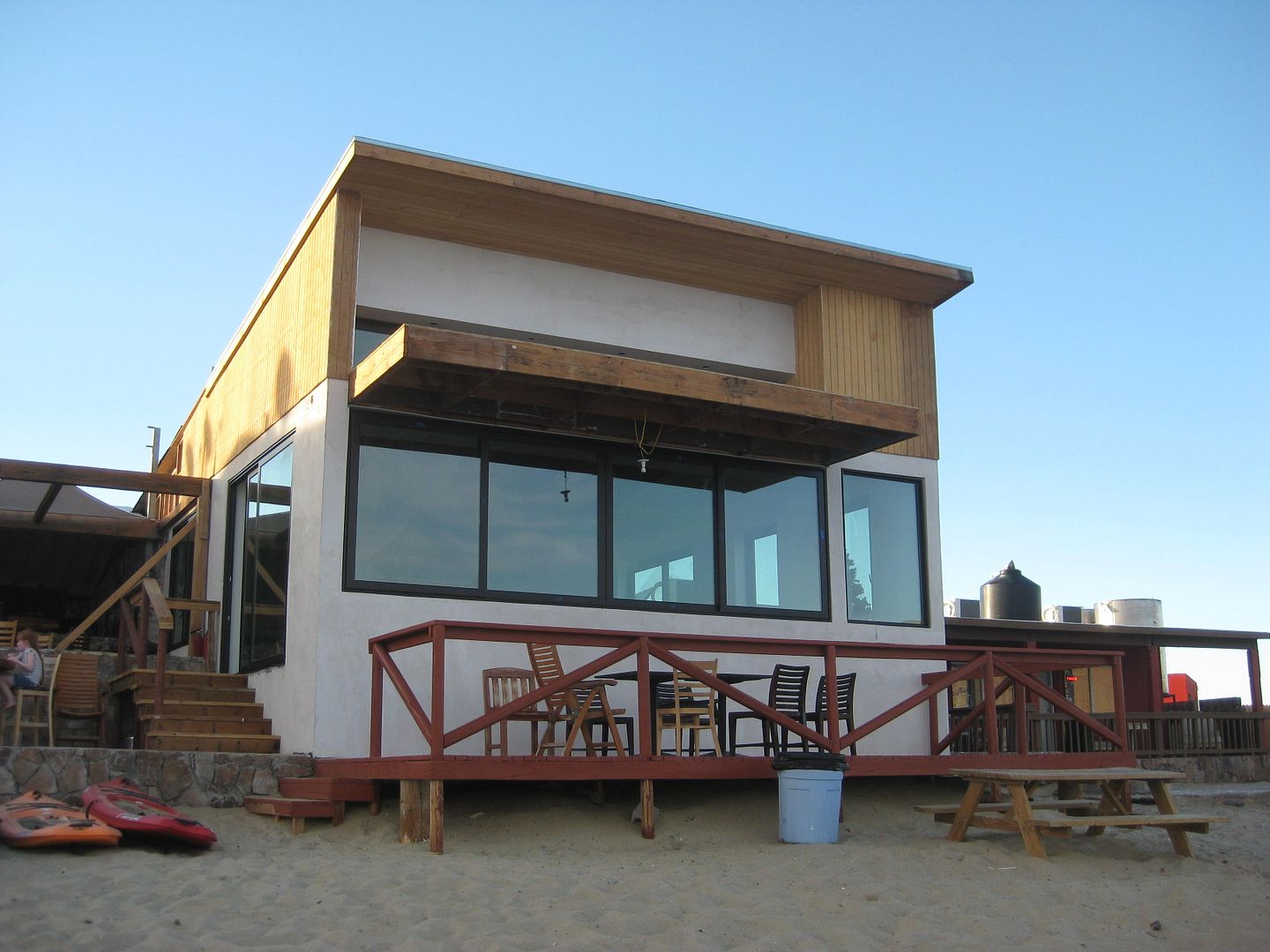
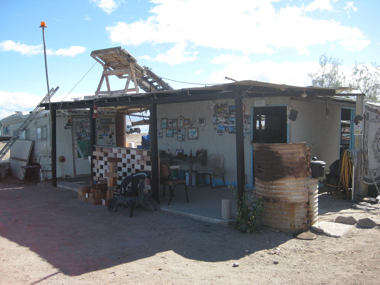
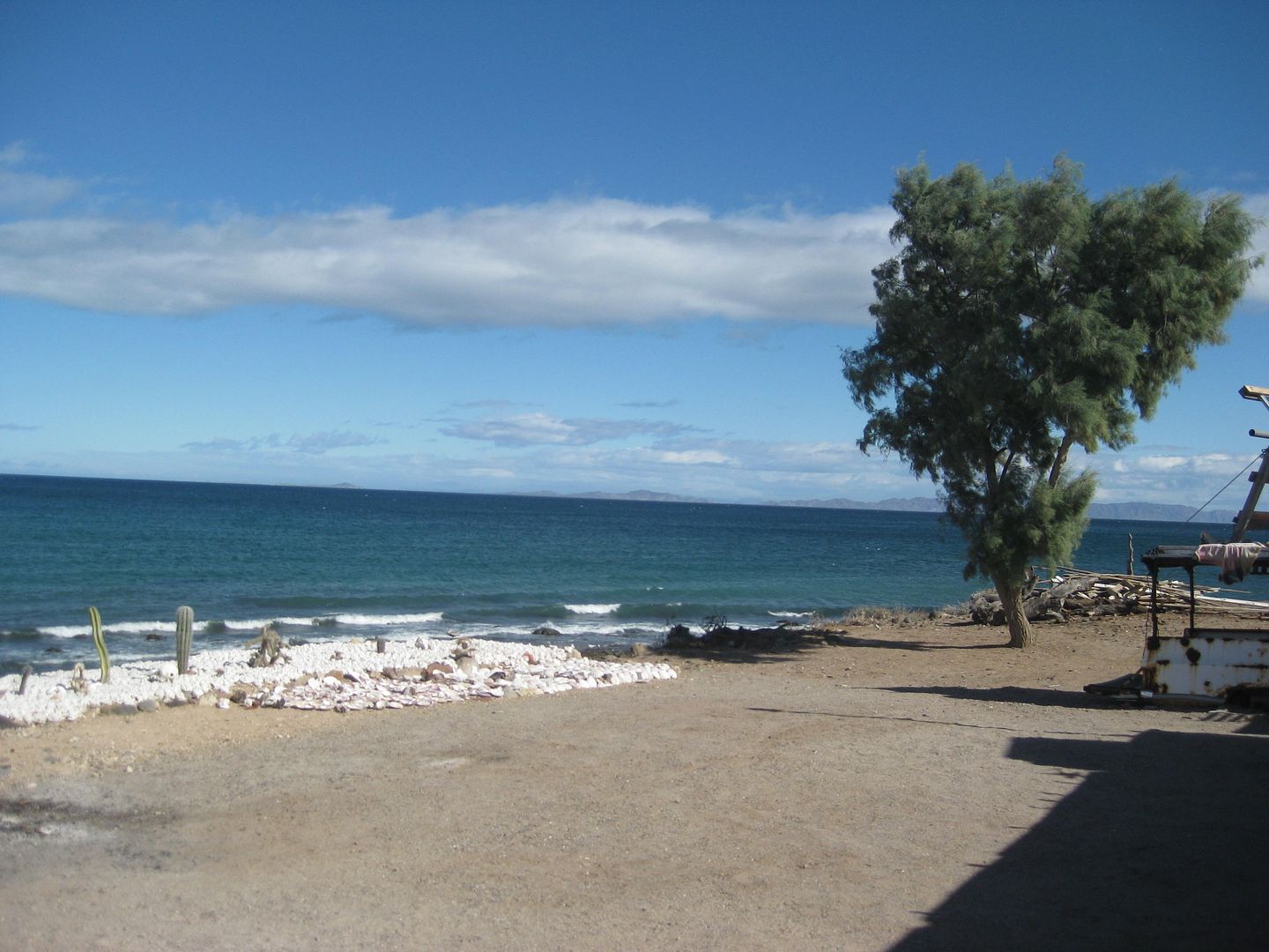
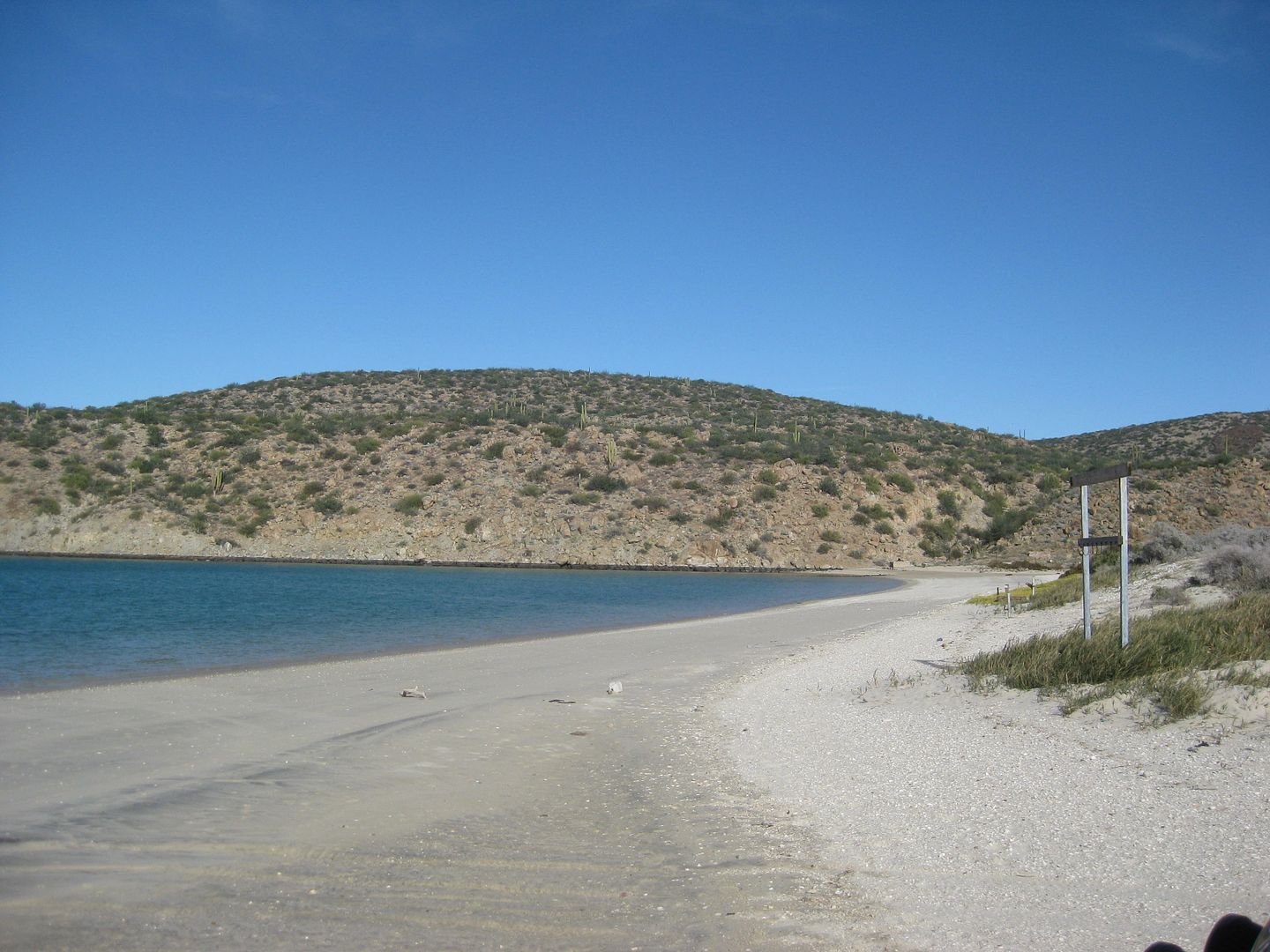
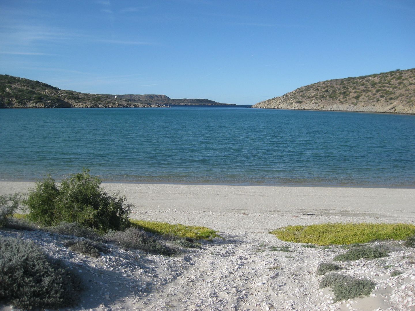
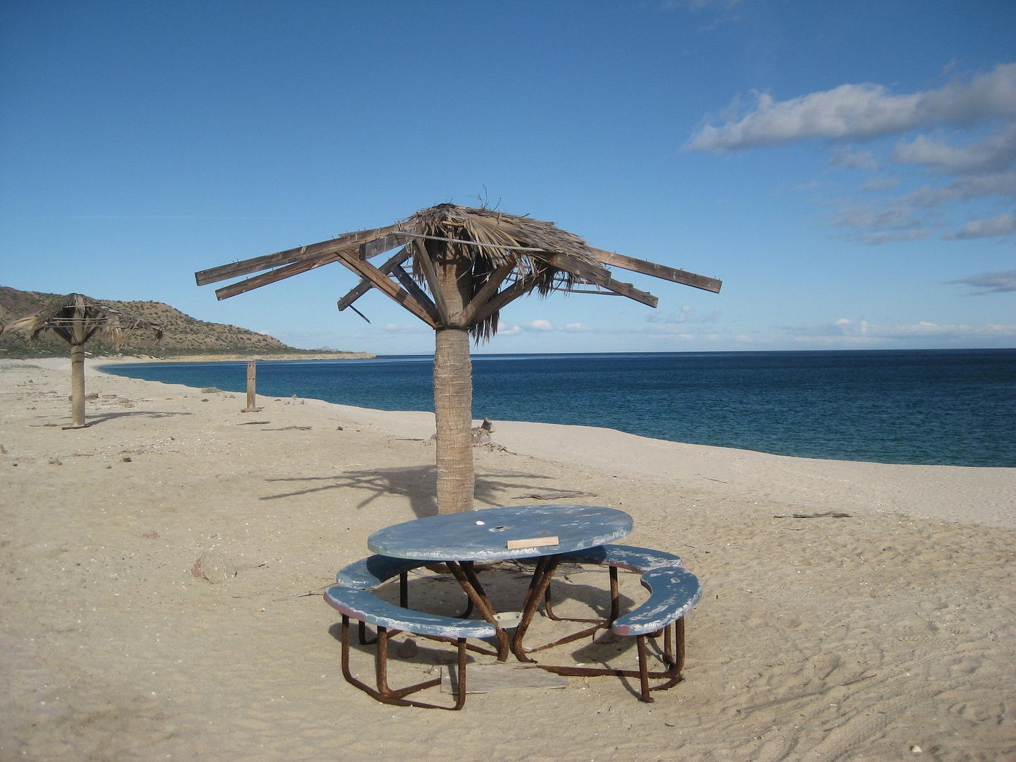
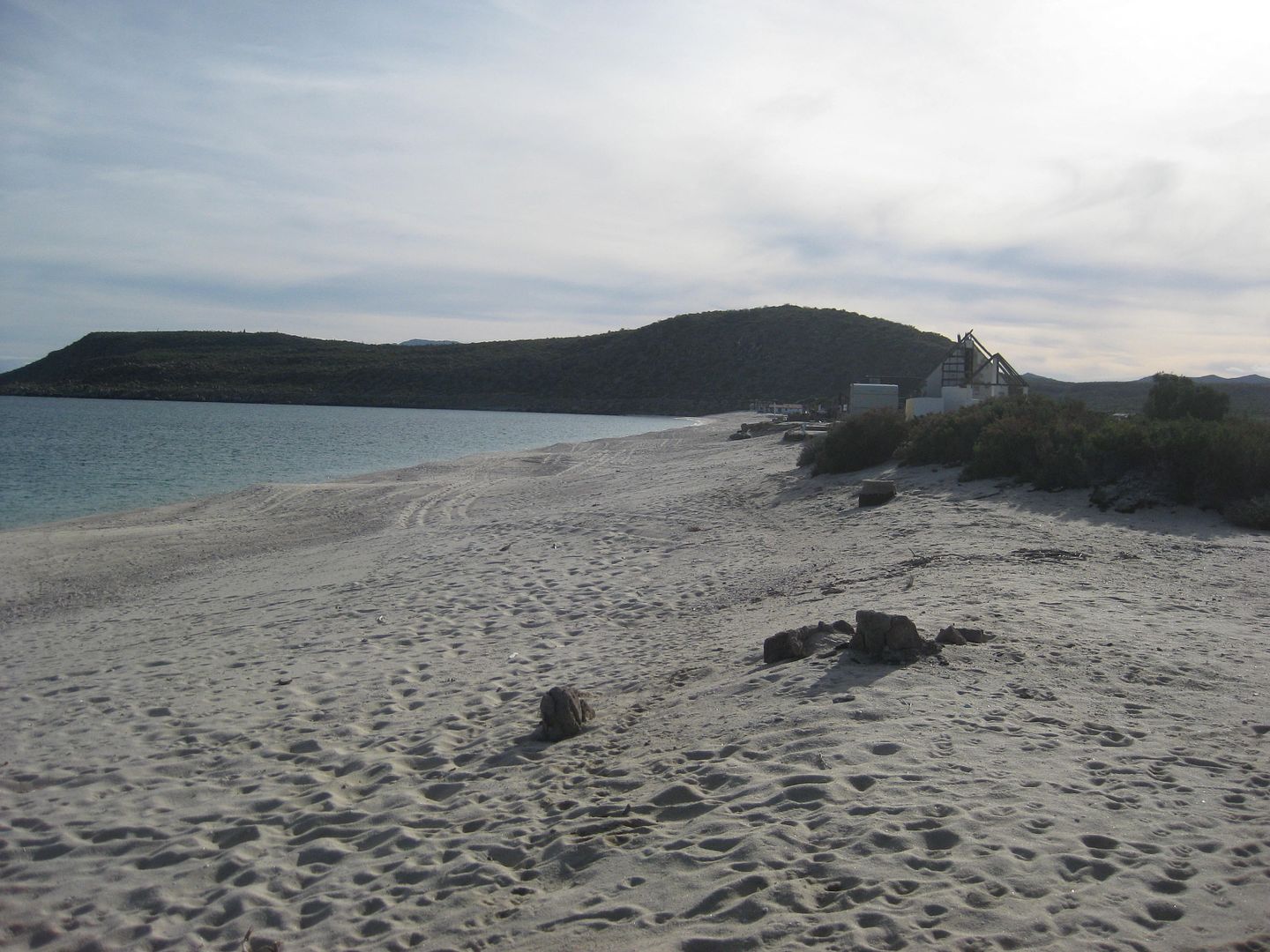
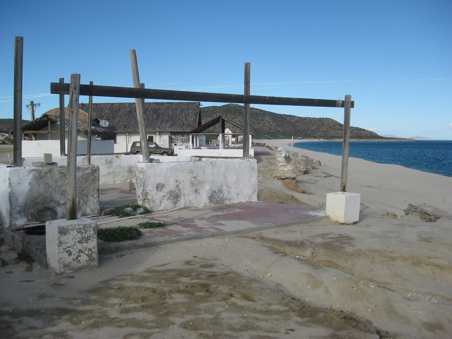
Puerto San Francisquito on Cala San Francisquito
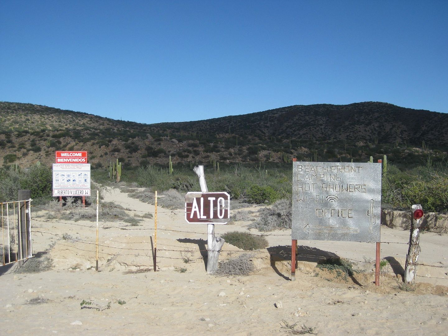
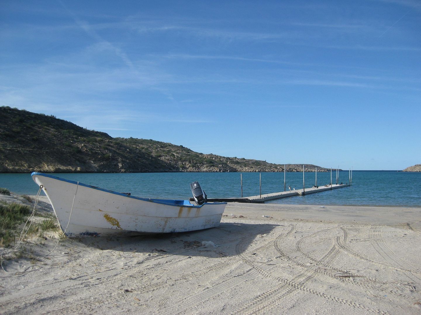
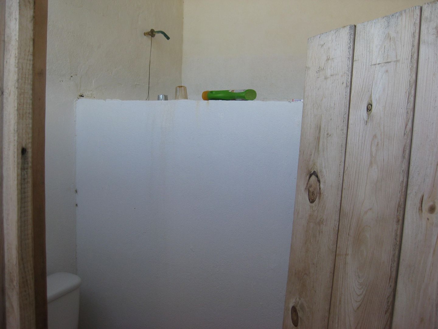
Camping is $10/pp with use of bathroom and shower. A cabana rents for $40 and a house rents for $100.
If you turn right at the gate (or use the first driveway 1.3 miles west of the gate) you go 1 mile to Punta San Francisquito Resort with both a salt
flat and paved landing strip.
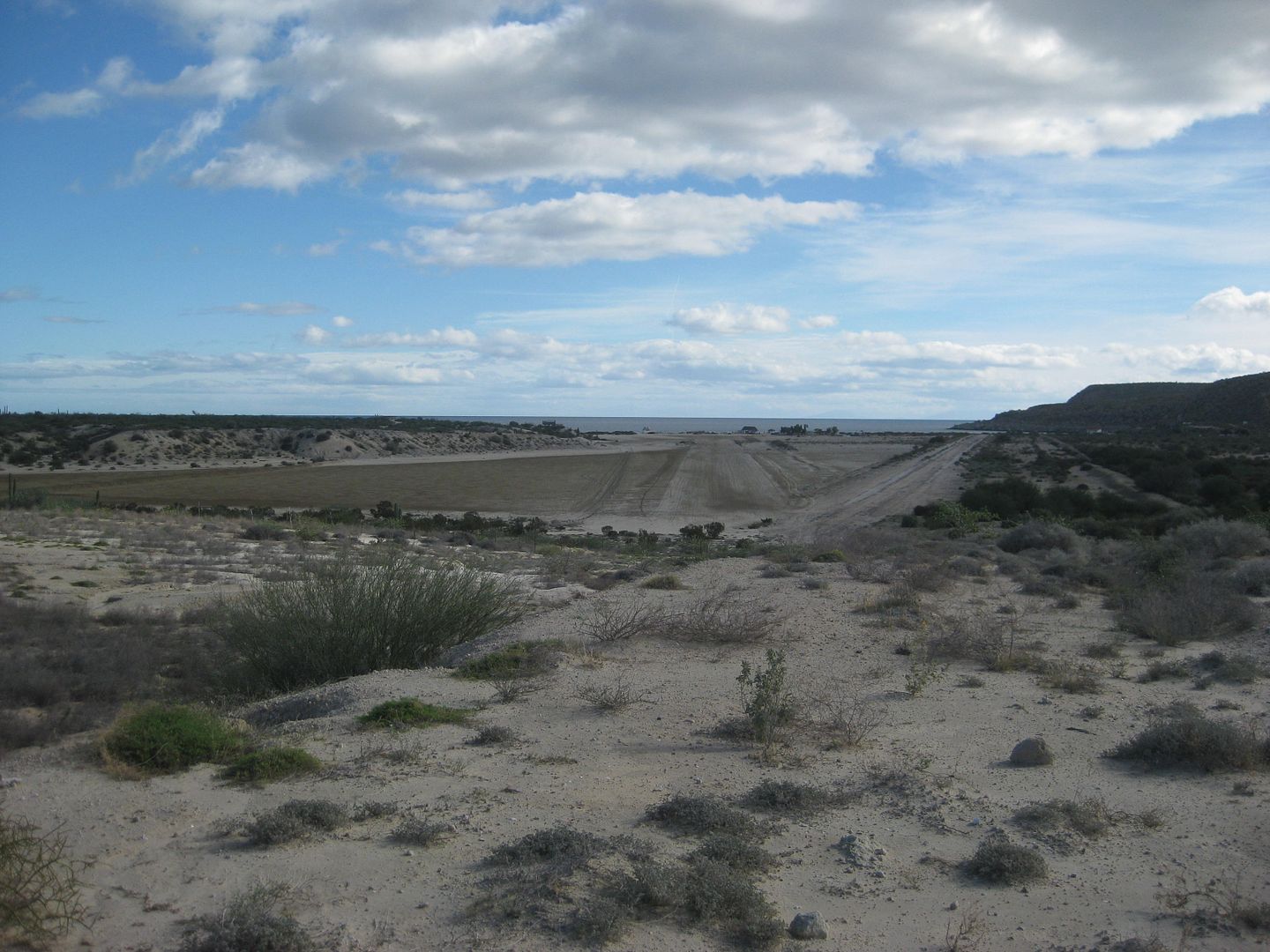
The resort is in sad shape. The restaurant was in business and I was invited to eat by a lady walking outside. The cabanas rent for $20.
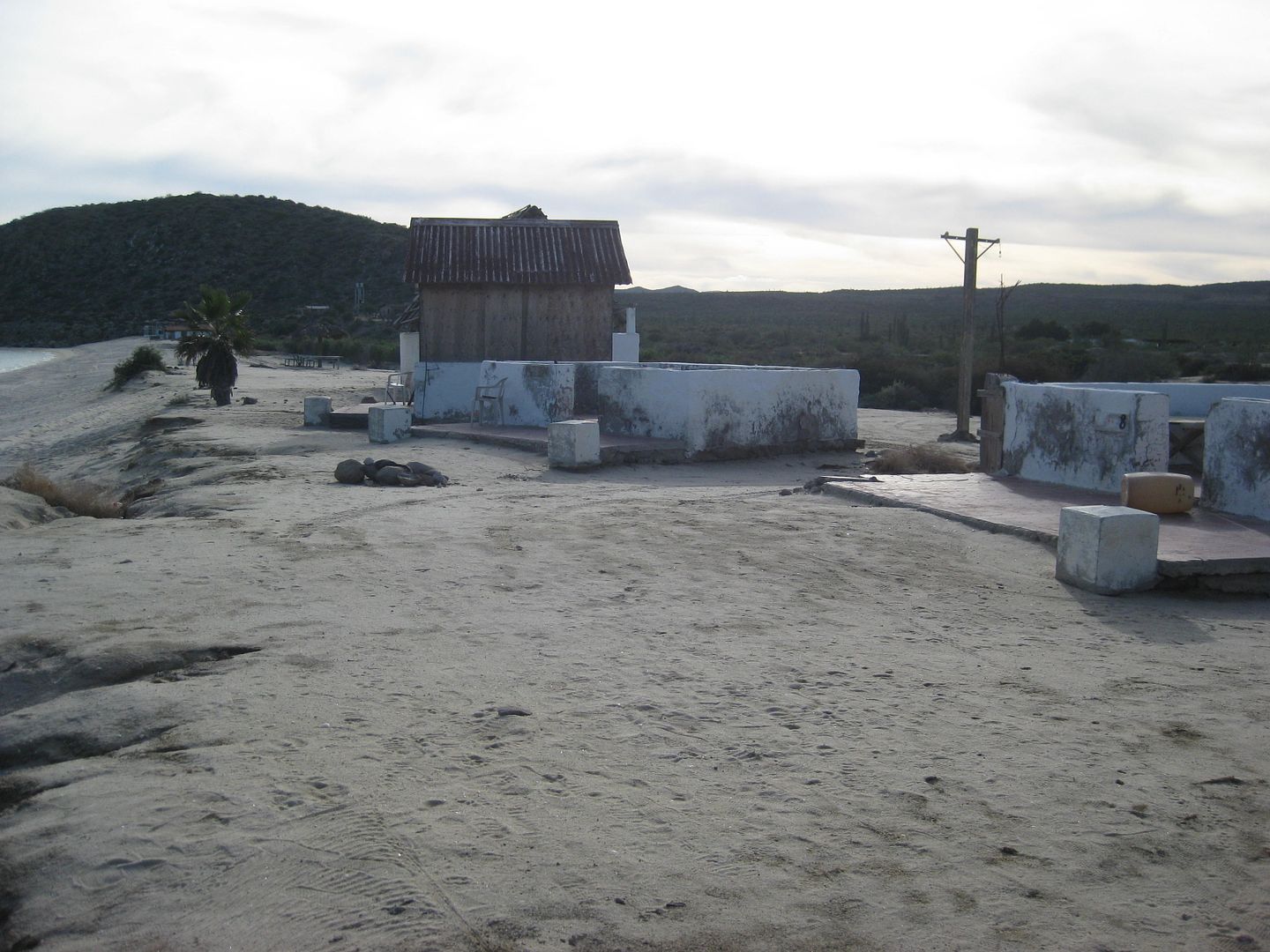
That was good enough for now... Next to find another quiet camping beach. Stay tuned!
|
|
|
BigBearRider
Super Nomad
Posts: 1299
Registered: 4-30-2015
Location: Big Bear, Punta Chivato, and Cabo
Member Is Offline
Mood:
|
|
Great!
|
|
|
| Pages:
1
2
3
4 |
|


