| Pages:
1
2
3
4
5 |
bajaric
Senior Nomad

Posts: 602
Registered: 2-2-2015
Member Is Offline
|
|
Wow !! great posting --
|
|
|
David K
Honored Nomad
Posts: 64480
Registered: 8-30-2002
Location: San Diego County
Member Is Offline
Mood: Have Baja Fever
|
|
DAY 6-C To Comondú
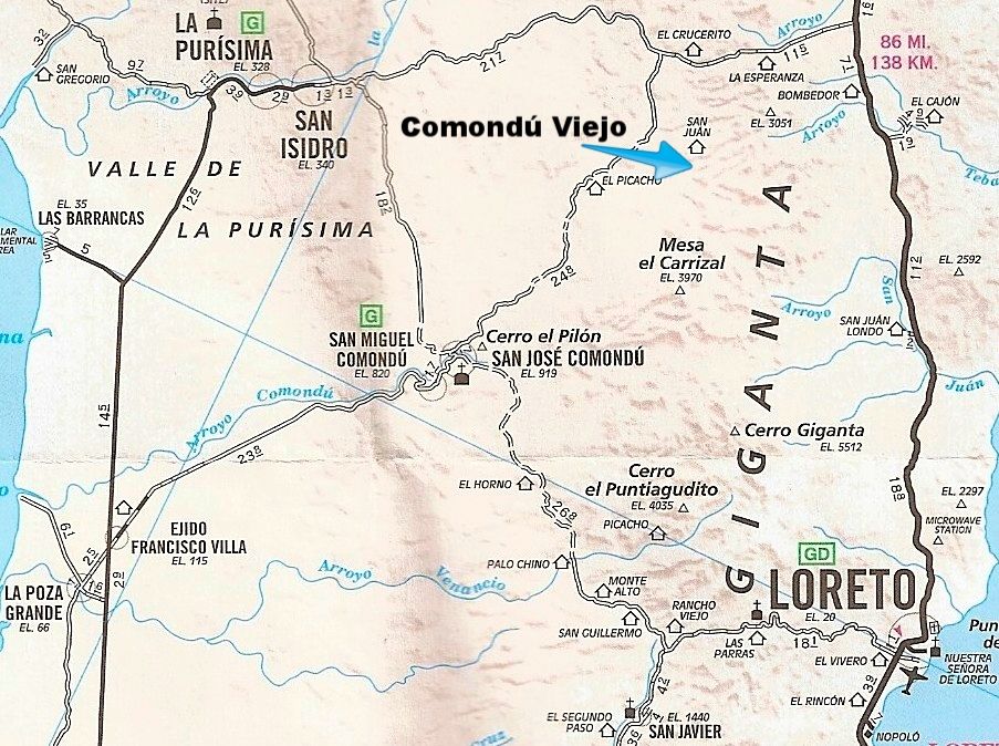
It is about 26 miles from the San Javier highway to San José Comondú and my drive time was about 2 hours. The slow, 4WD section, was the steep up
and down grades between Palo Chino and El Horno. Shown on the 2010 AAA map below:
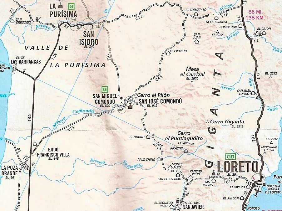
The Loreto-San Javier and San Miguel Comondú-Ejido Francisco Villa roads are now paved.
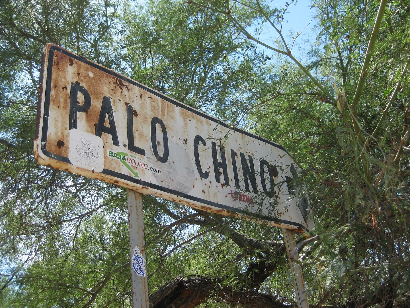
Palo Chino is an abandoned ranch now.
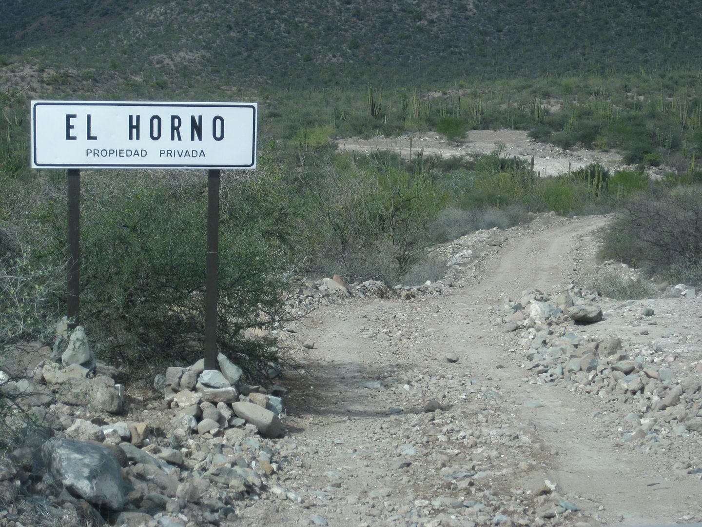
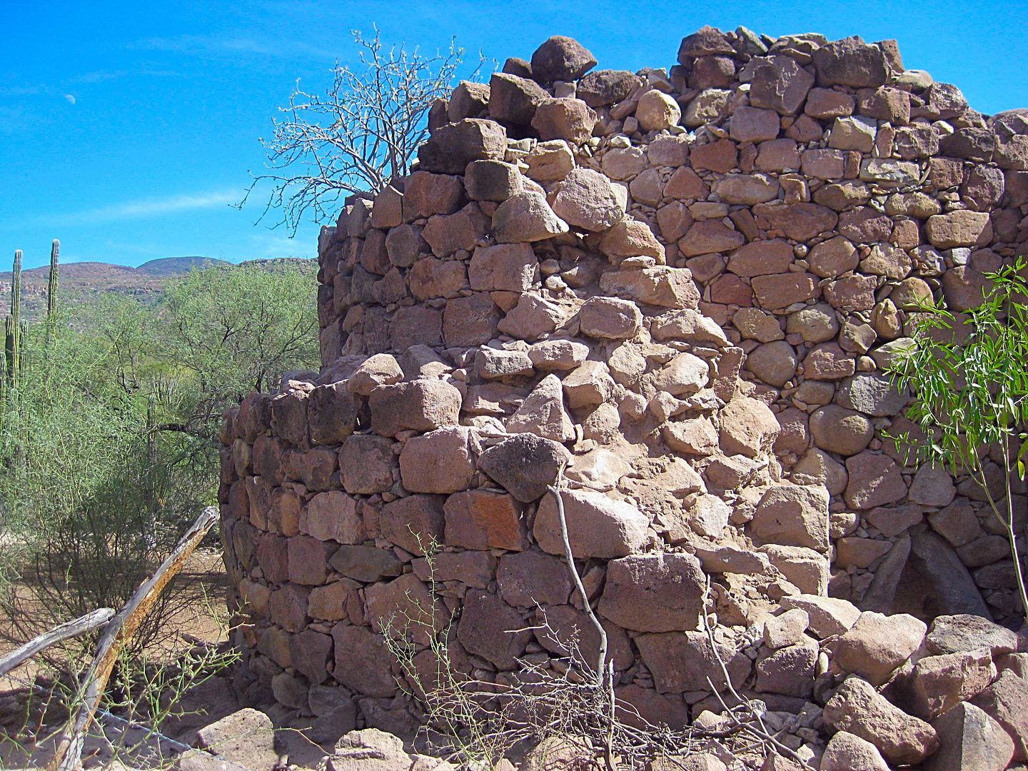
The road improves as you near El Horno. An active ranch is set up next to the giant kiln-oven built in the 1700s to make mortar from limestone to
build the mission church at Comondú, the largest church in all California!
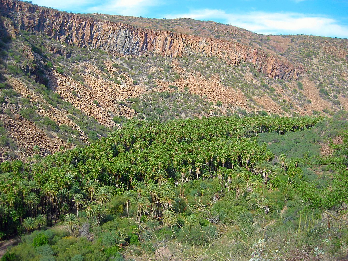
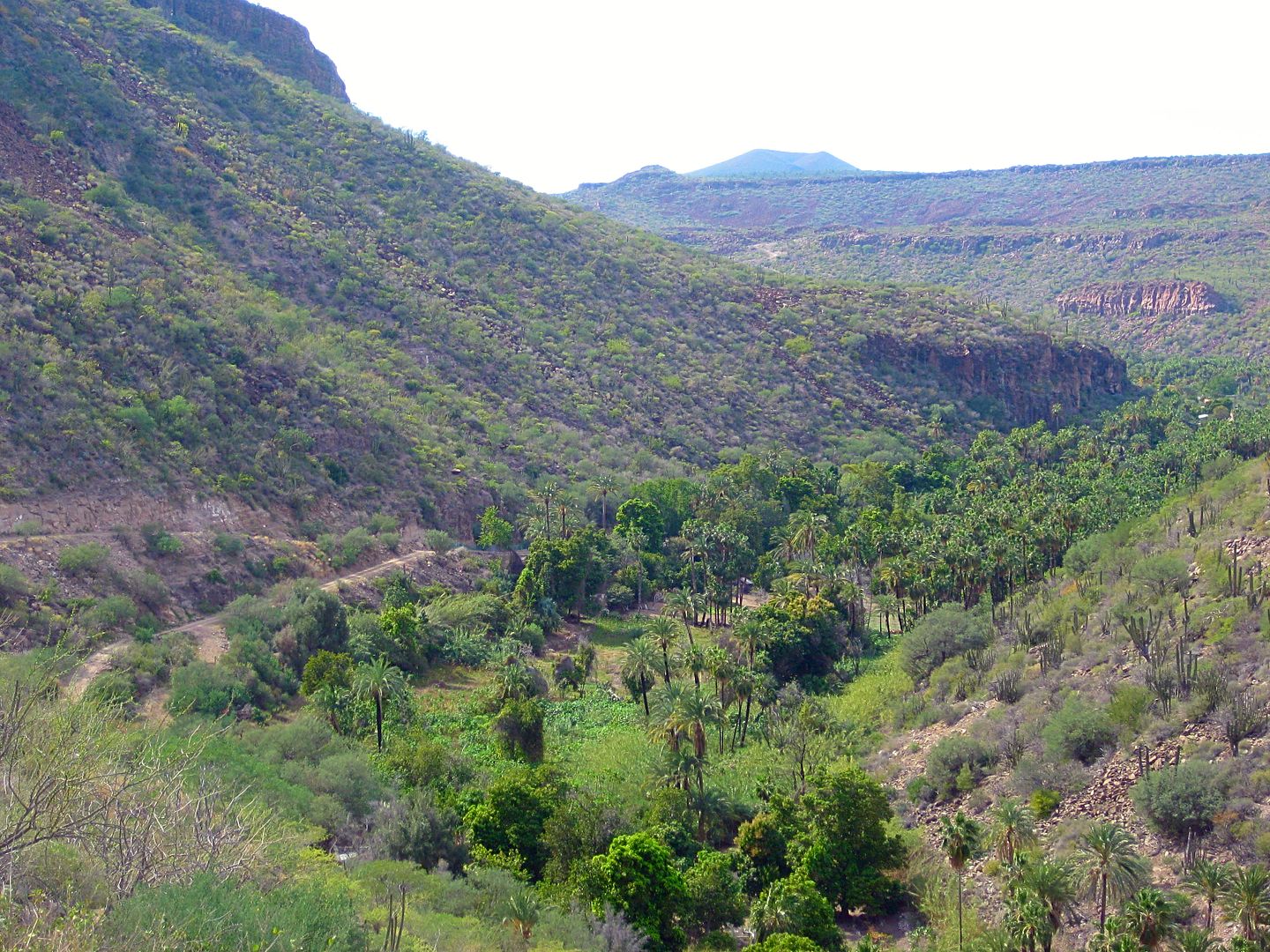
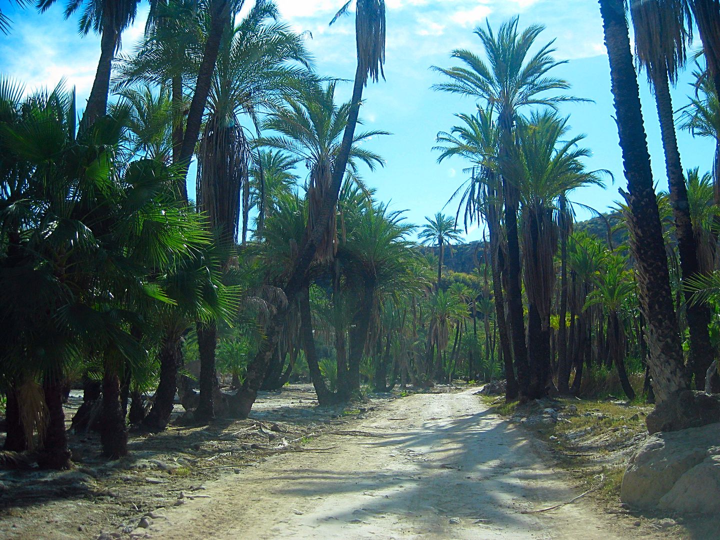
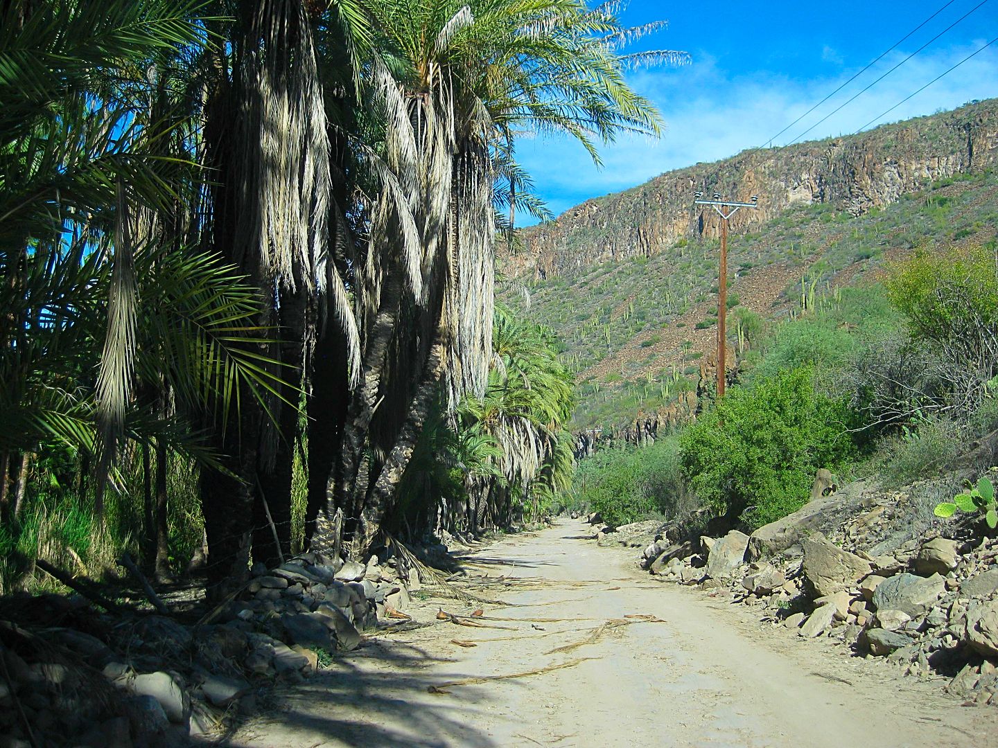
The road begins to drop off the volcanic mesa into the oasis of San José Comondú.
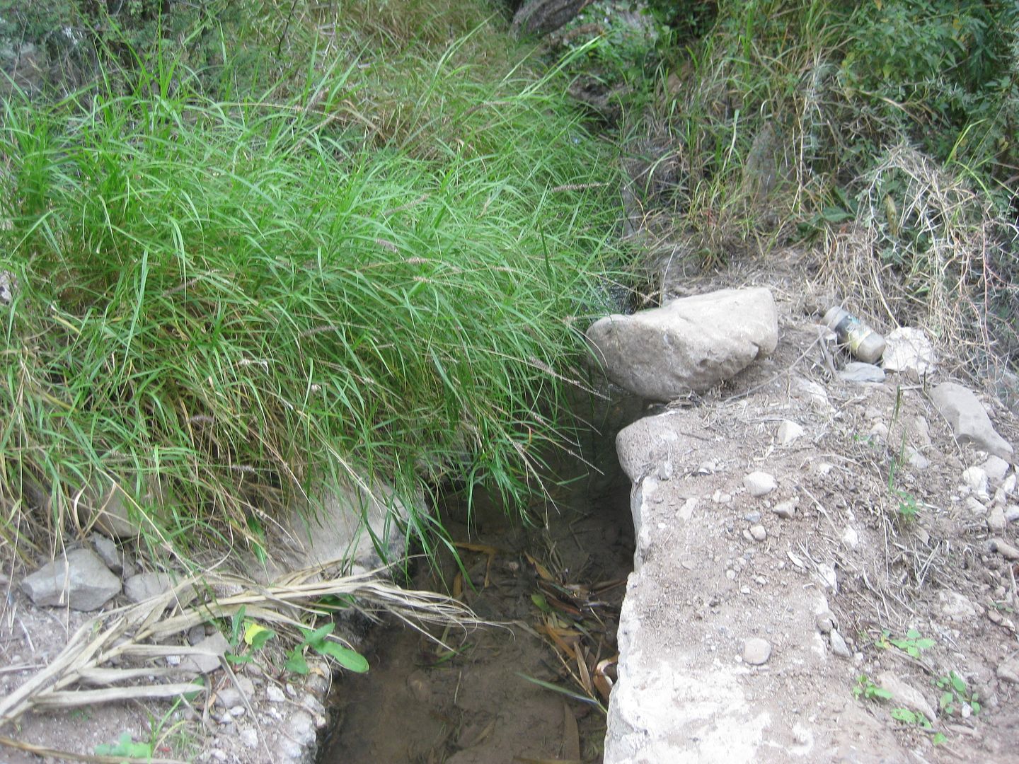
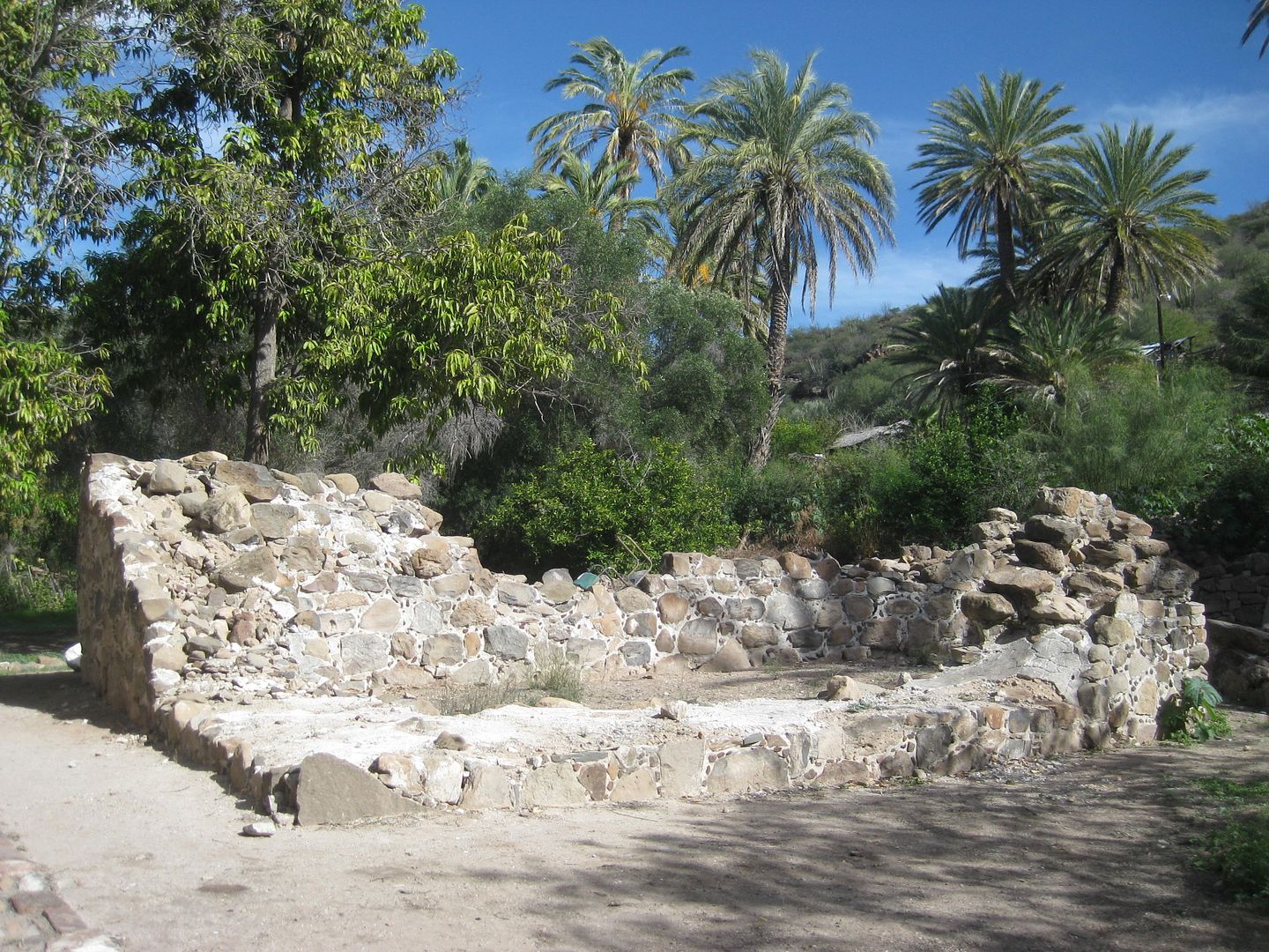
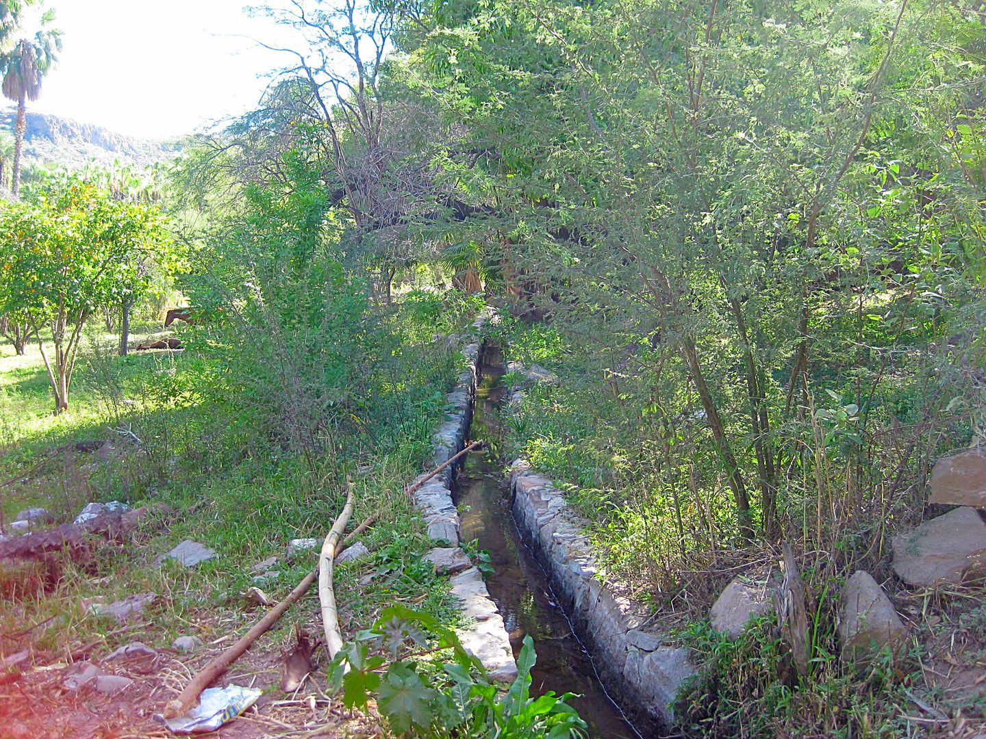
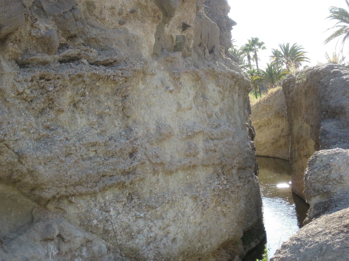
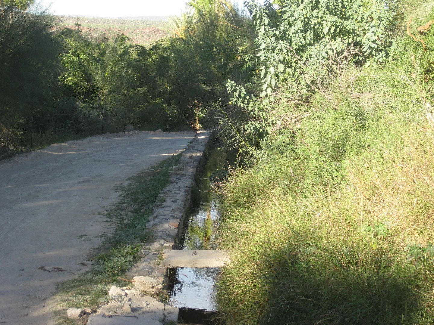
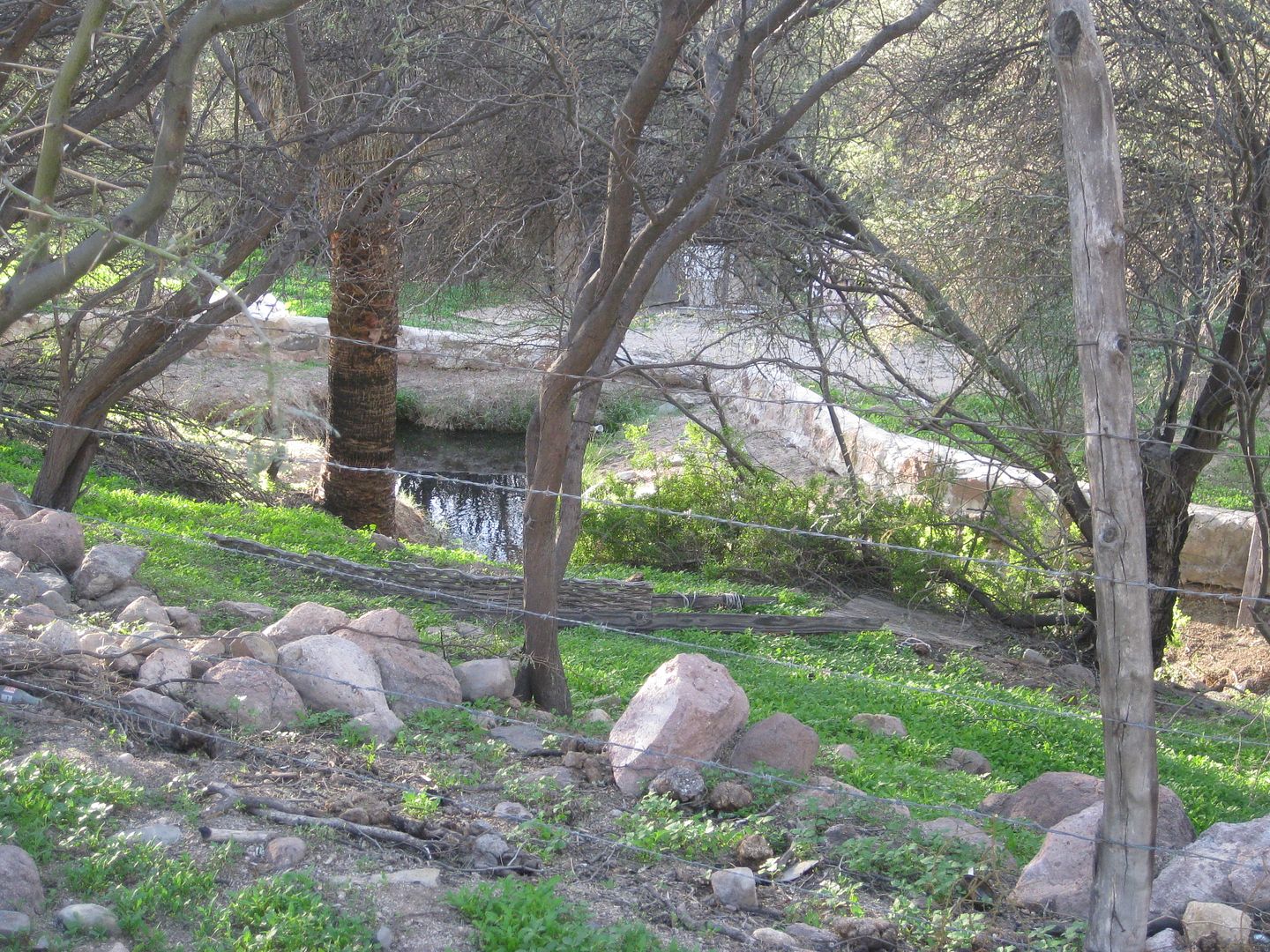
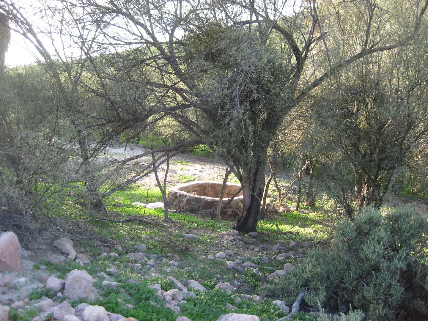
Waterworks are seen around most mission locations and some are used to this day, 200-300 years after they were built.
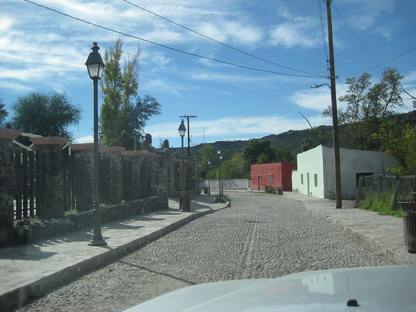
An attractive cobblestone street is a nice surprise in this little town.
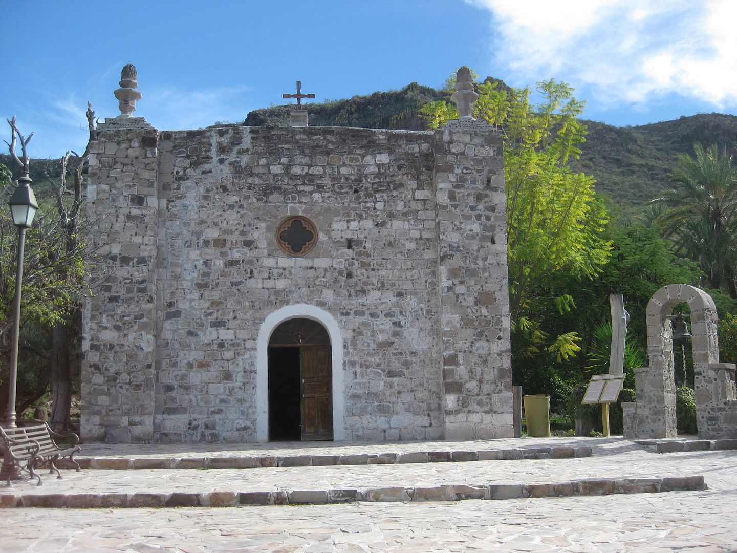
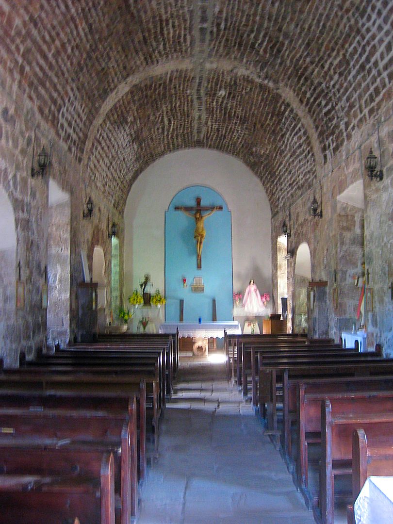
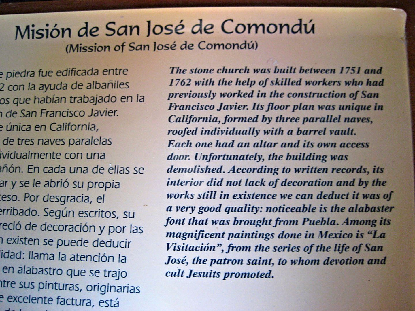
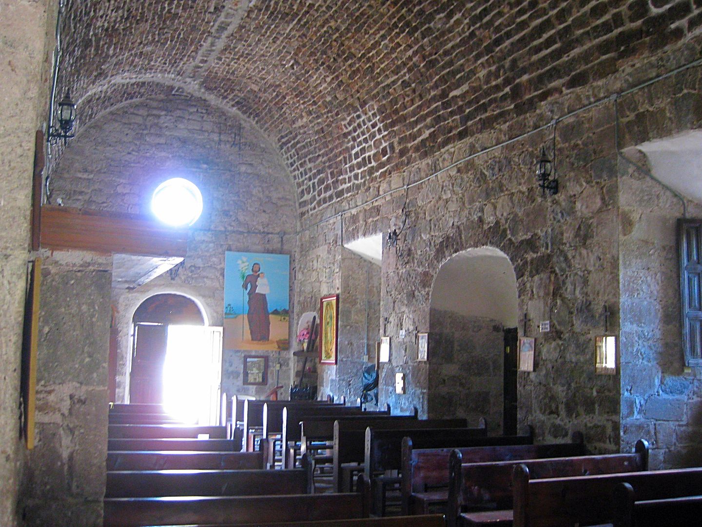
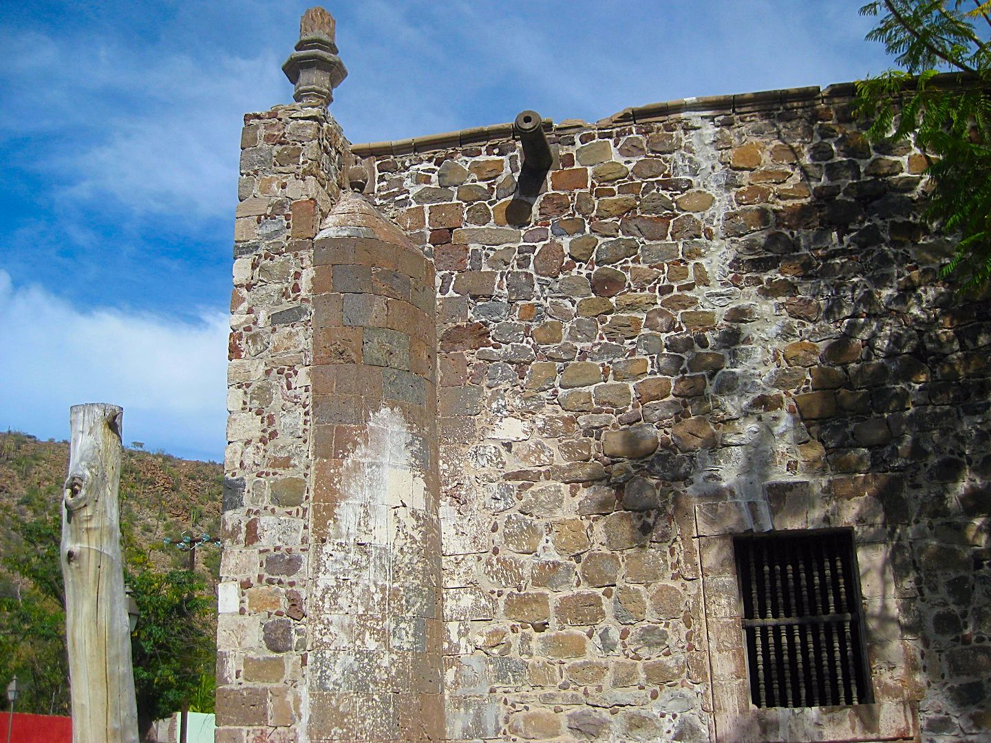
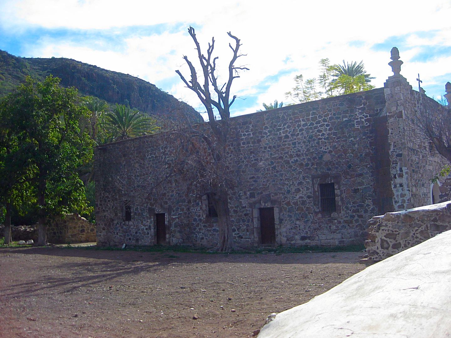
The mission today, but was originally a side chapel to a much larger church that was torn down in 1936.
The mission, San José de Comondú was founded in 1708, 22 miles to the north and moved here in 1736. The 1708 location became known as Comondú Viejo
and is less than a mile south of Rancho San Juan (shown on the AAA map, above).
Historic photos of the large church from 1906:
From 1926:
The chapel in 1955 (below) and below in one I took on the other side in 2017:
The cobblestone street beyond the mission returns to dirt, the road northwest to San Isidro and La Purísima is passed 0.4 mile from the mission, and
the more populated and active town of San Miguel Comondú is reached 1.8 miles beyond the road junction.
San Miguel Comondú began over 200 years ago as the visita of San Miguel, attached to Mission San Javier. It was so productive, often producing more
food than other missions on the peninsula. Jesuits trained here before going on to work at missions, elsewhere. In 1736, when the Comondú mission
moved so close, San Miguel was transferred to it from San Javier.
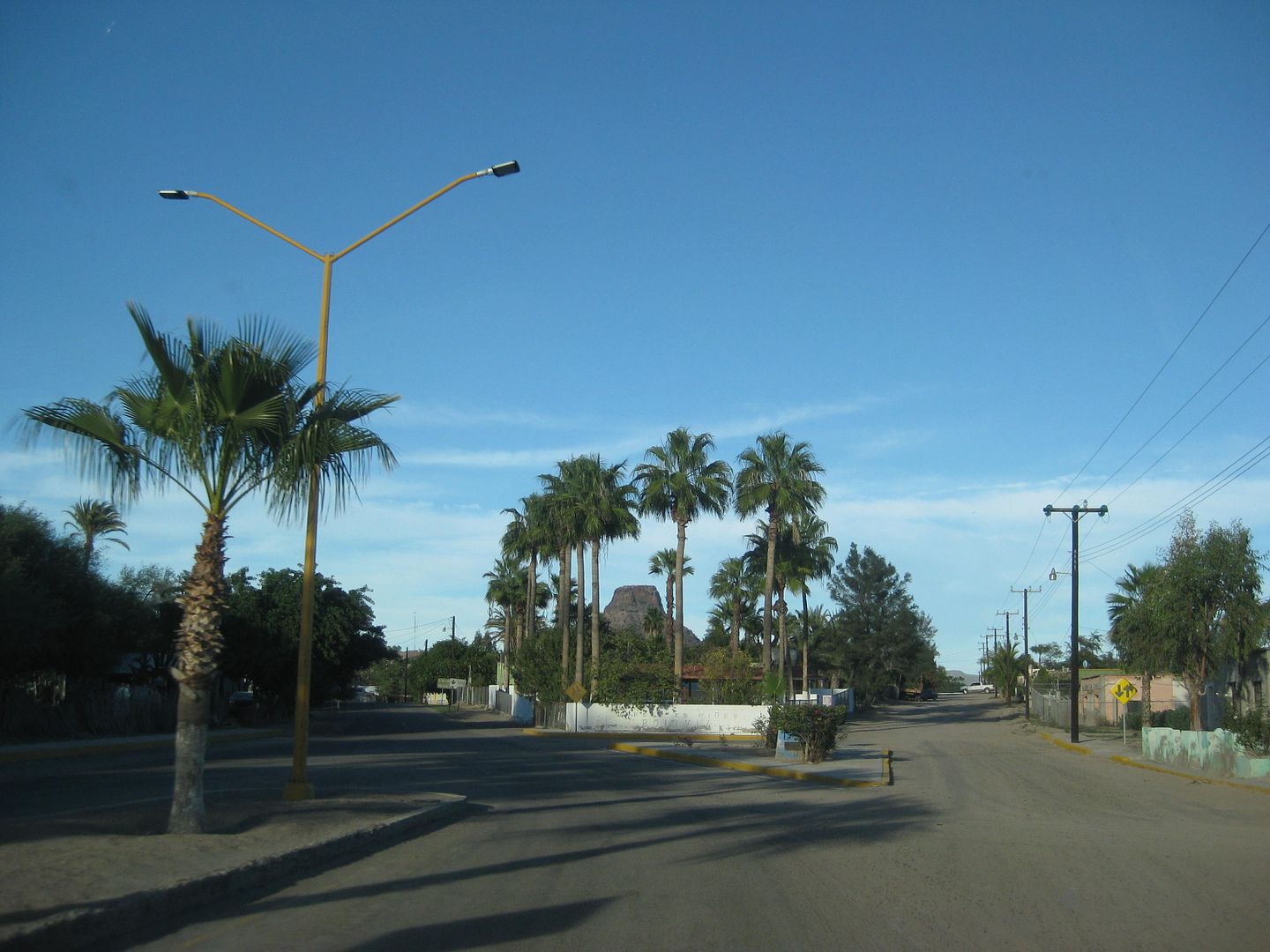
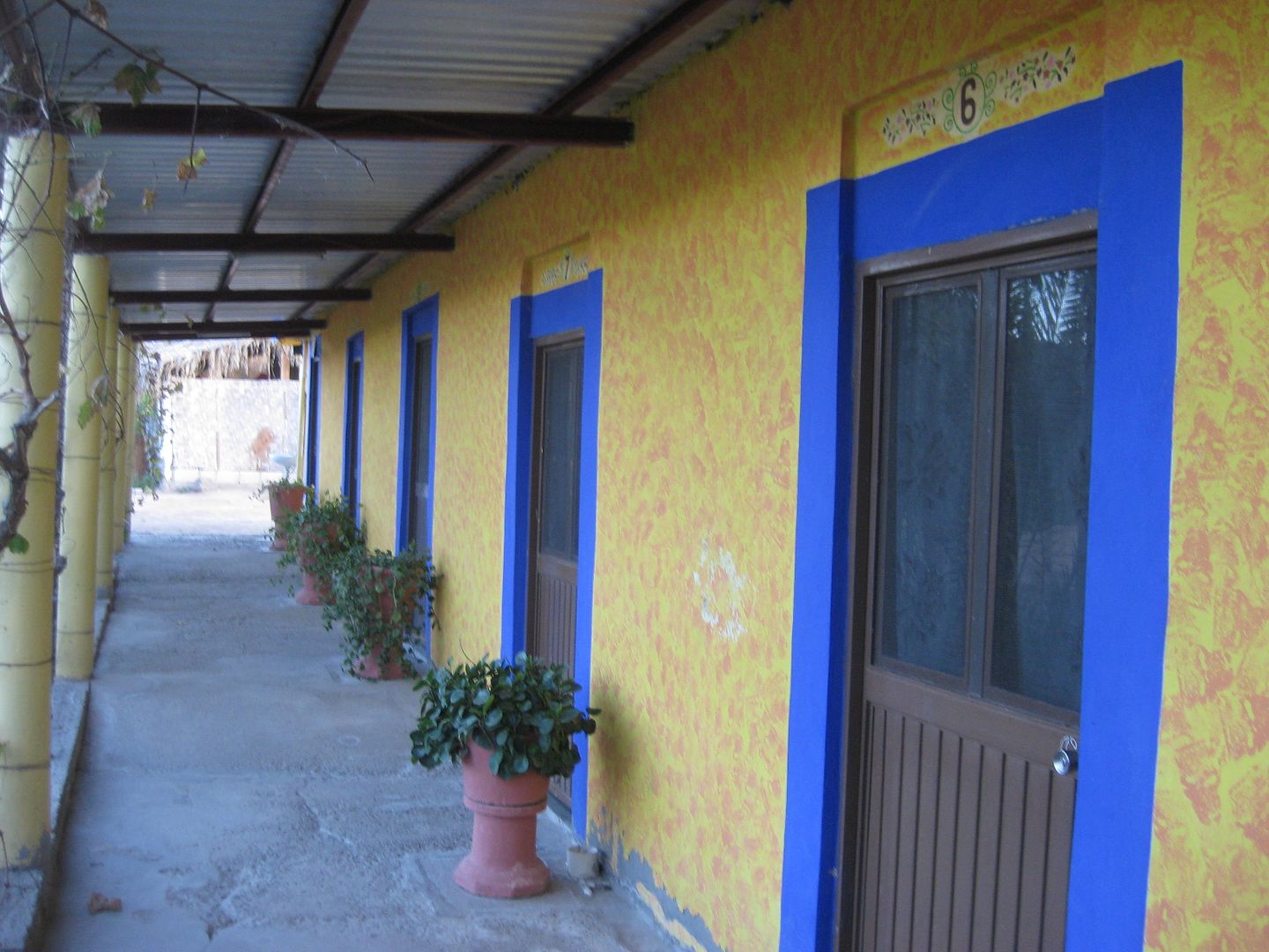
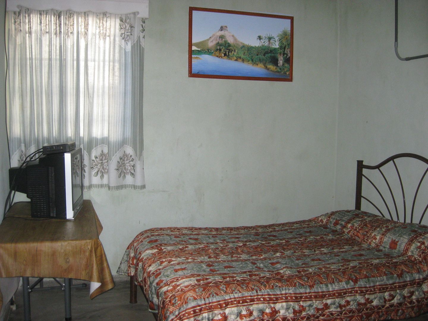
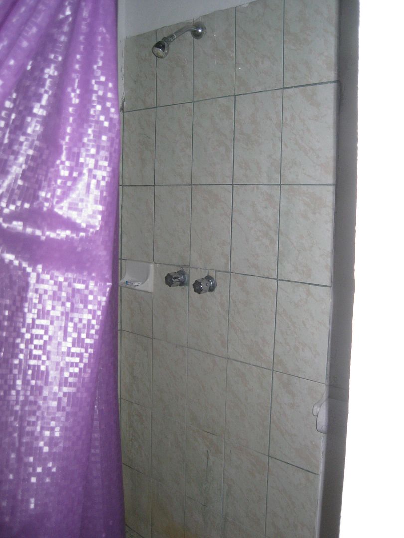
Today, San Miguel (with Comondú attached to its name) is the larger and more active of the two towns. A small hotel is located here...
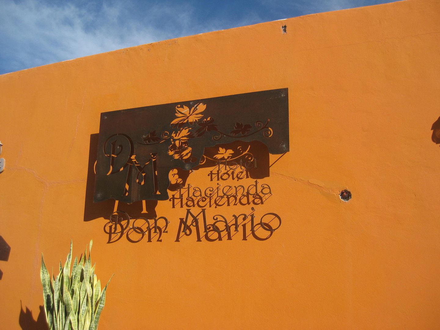
The Hacienda Don Mario has rooms for 800 pesos (=$40) with a kitchen and 600 (=$30) without. A restaurant and museum are also here. www.haciendadonmario.com and jackylapaz@hotmail.com are on their card with the phone number 01-613-131-1494.
A paved road goes south from here to join Highway 1 at Ciudad Insurgentes. I turn around and go back to San José Comondú to catch the road to La
Purísima. 1.8 miles from the hotel.
To Be Continued!
[Edited on 4-8-2018 by David K]
|
|
|
mickeykreg
Junior Nomad
Posts: 33
Registered: 11-17-2005
Location: Salt Lake City
Member Is Offline
|
|
Wonderful! Very excited to scope out the Sierra Giganta and mission area on the trip back north in a couple weeks.
|
|
|
David K
Honored Nomad
Posts: 64480
Registered: 8-30-2002
Location: San Diego County
Member Is Offline
Mood: Have Baja Fever
|
|
Great!
In just a couple days of traveling, within a 100-mile radius, it is possible to see the first 6 California mission locations and numerous associated
sites...
1) Loreto
... a) San Juan Londó
2) San Javier
... b) La Presentación
3) Ligüí
4) Mulegé
... c) La Magdalena
5) Comondú
... d) Comondú Viejo
... f) San Miguel
6) La Purísima
There are more!
|
|
|
David K
Honored Nomad
Posts: 64480
Registered: 8-30-2002
Location: San Diego County
Member Is Offline
Mood: Have Baja Fever
|
|
Here's my road log (miles) for the Comondú road (2-4-17):
0.0 San Javier Paved Road (at Km. 27.5)
3.8 Farm/Ranch, both side of road.
4.5 Ranch on left.
5.7 Rancho Monte Alto
6.8 Sideroad, to the left
9.0 Palo Chino, abandoned ranch. 4WD recommended beyond here.
13.1 Top of steep grade going down.
14.3 Bottom of steep grade. Road greatly improves.
15.1 El Horno, ranch and historic lime kiln.
24.6 Top of grade down into Comondú canyon.
25.2 Bottom of grade. enter village of San José Comondú
25.7 Mission San José de Comondú (founded 1708, relocated here 1736)
26.1 Road right to San Isidro and La Purísima
27.9 San Miguel Comondú, Hacienda Don Mario hotel.
|
|
|
David K
Honored Nomad
Posts: 64480
Registered: 8-30-2002
Location: San Diego County
Member Is Offline
Mood: Have Baja Fever
|
|
DAY 6-D (Comondú to La Purísima) Sat. Feb. 4, 2017
Beginning log at the road between the two Comondús: San José and San Miguel, 0.4 mile from the mission or 1.8 miles from the hotel.
The road begins as a narrow lane crossing from the south to the north side of the canyon floor, then begins the climb up and out of the canyon. It is
steep, but not 4WD stuff. The road is rough for a couple miles as it leaves the Comondú region.
I didn't note the mileage, but at the top of the first climb up, near the cemetery, the original road from Tijuana to La Paz (and now serves as a
ranch road) joins in from the right. The north end of this section, near where it meets the road from Bahía Concepción, looks very unused... perhaps
the floods of recent years have erased it somewhere?
The road north to San Isidro and La Purísima become quite good and the second half is even fast. It is just over 18 miles to where it enters the La
Purísima valley and the road to Hwy. 1, just south of Bahía Concepción joins in from the right (no signs). It takes me less than an hour to drive
from Comondú to here. It is 4.7 miles from the junction to La Purísima (market, restaurant, and motel).
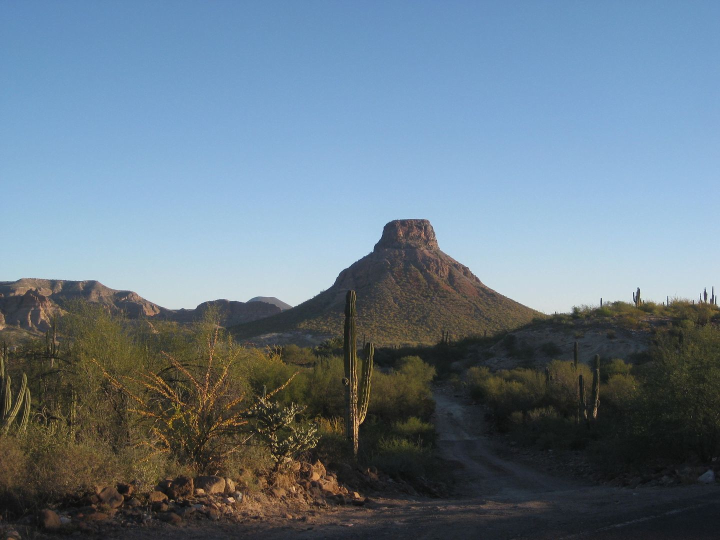
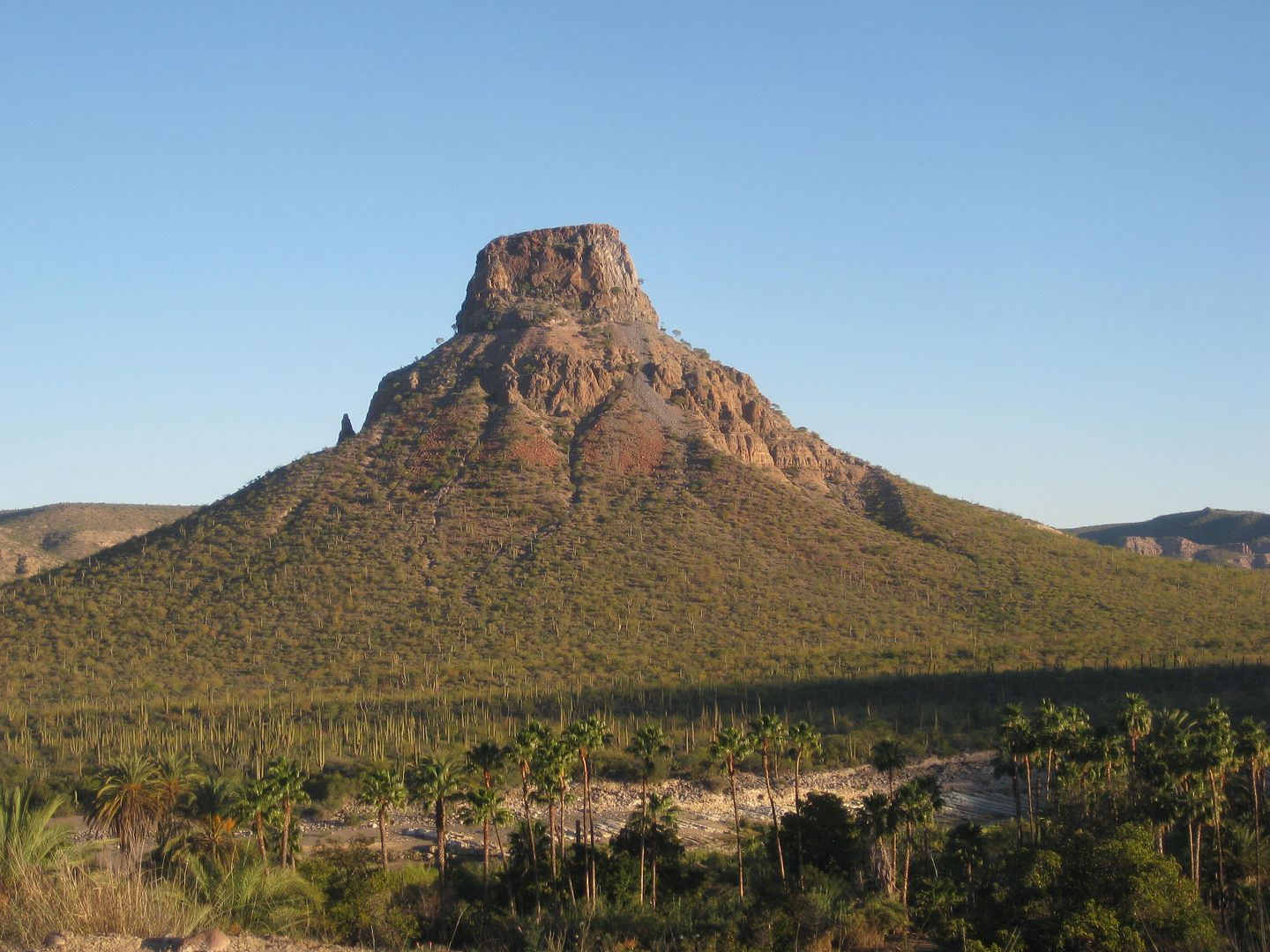
Now heading west, the road soon becomes paved (in 2.3 miles) as one enters the town of San Isidro. I see a sign advertising gasoline. Continuing west
on the paved road the majesty of El Pilón, the towering butte in the middle of the valley, makes one want to take photos!
As I enter La Purísima, I see a market on the left (ice for sale) and on the right is the Restaurant Otho with a bunch of off road
vehicles parked... and Willy Airstream's race buggy. I park and go introduce myself to Richard (Willy Airstream). He was surprised, thinking I was
older (or look older on my Nomad pics, lol)! I was surprised too, that he was only this far in his run today (4:40pm) as he was going to Comondú...
and still did!
I saw that the little motel Posada del Angel was next door to the restaurant and both businesses were run by a couple of men. The
motel I had heard was nice by Roy (The squarecircle) and TW (Tom). No wi-fi, but the market has it if needed.
I first drove around the block to see the mission site, it is a block north of the restaurant and a block back east. There is a sign pointing to it
from the paved entrance road to town, the cross street before the market and restaurant.
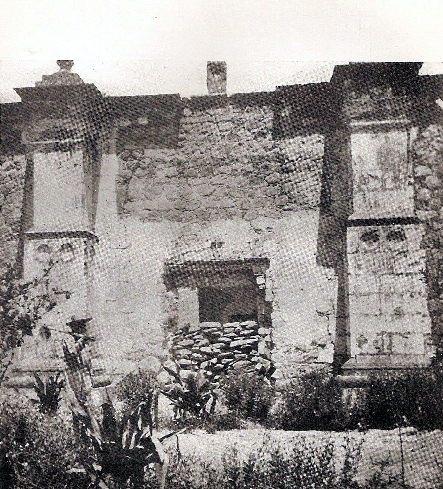
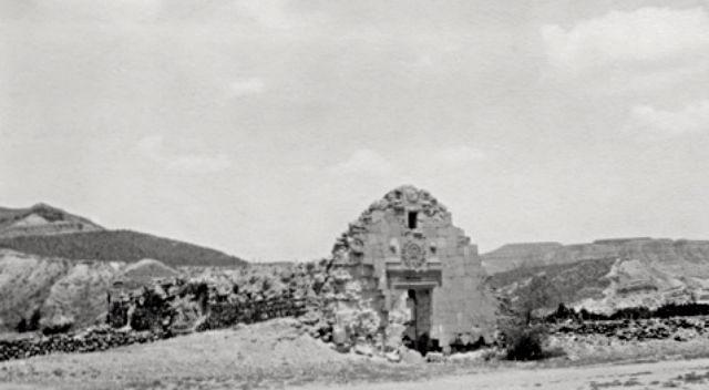
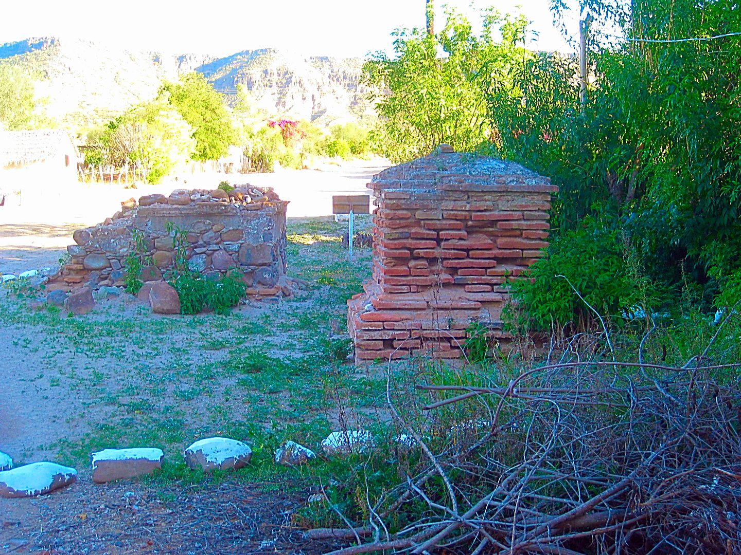
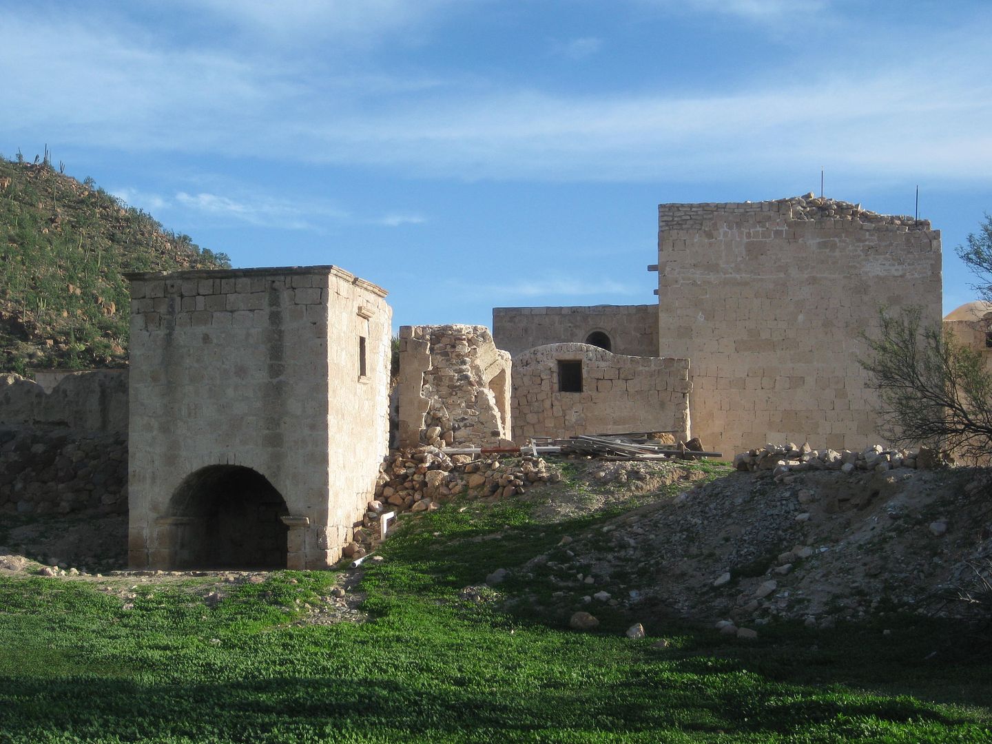
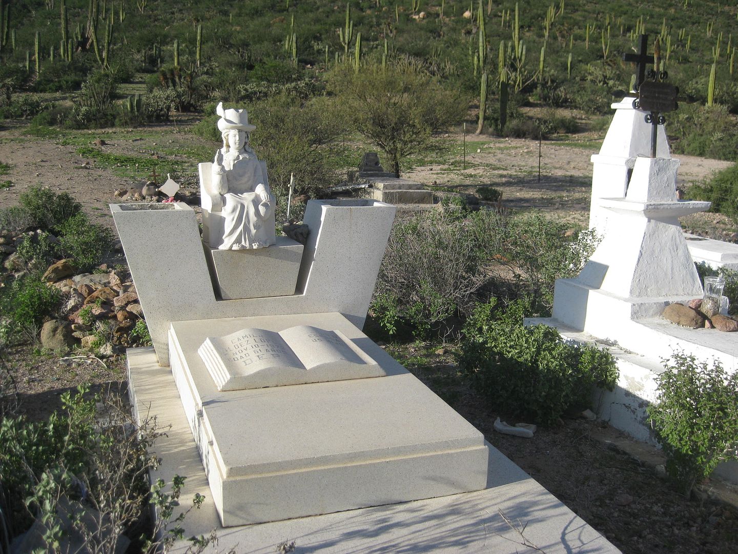
The mission, founded in 1720, fell into ruin after 106 years in operation but appears to have still had a roof and was used by locals, in a 1906
photograph by Arthur North (Camp and Camino in Lower California author). In the 1950s, Howard Gulick (Lower California Guidebook author) shows photos
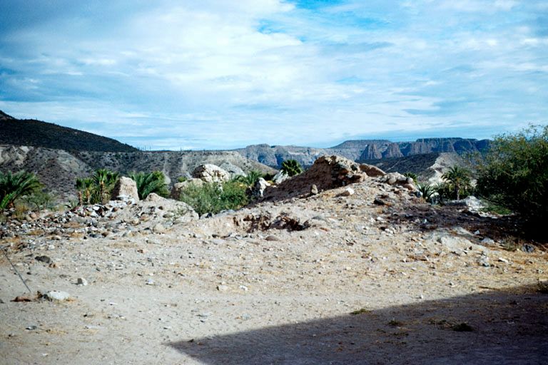
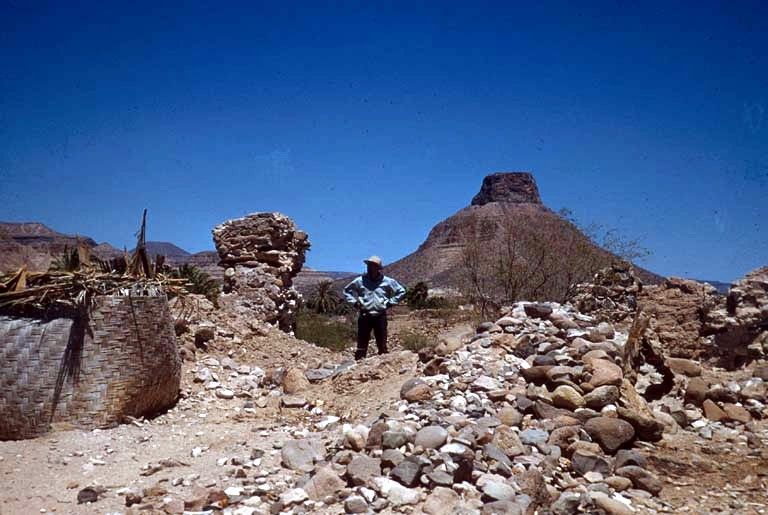
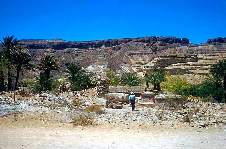
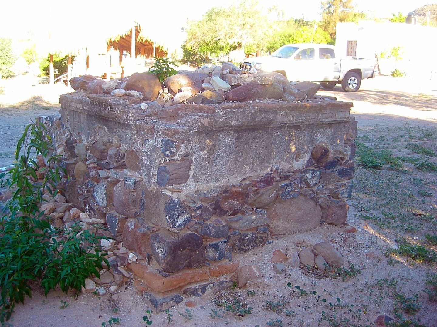
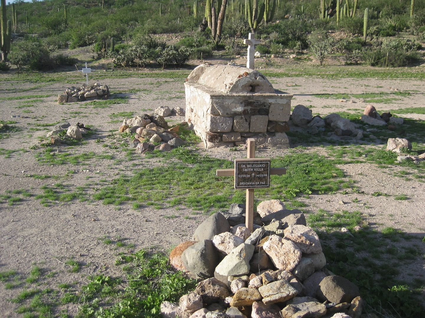
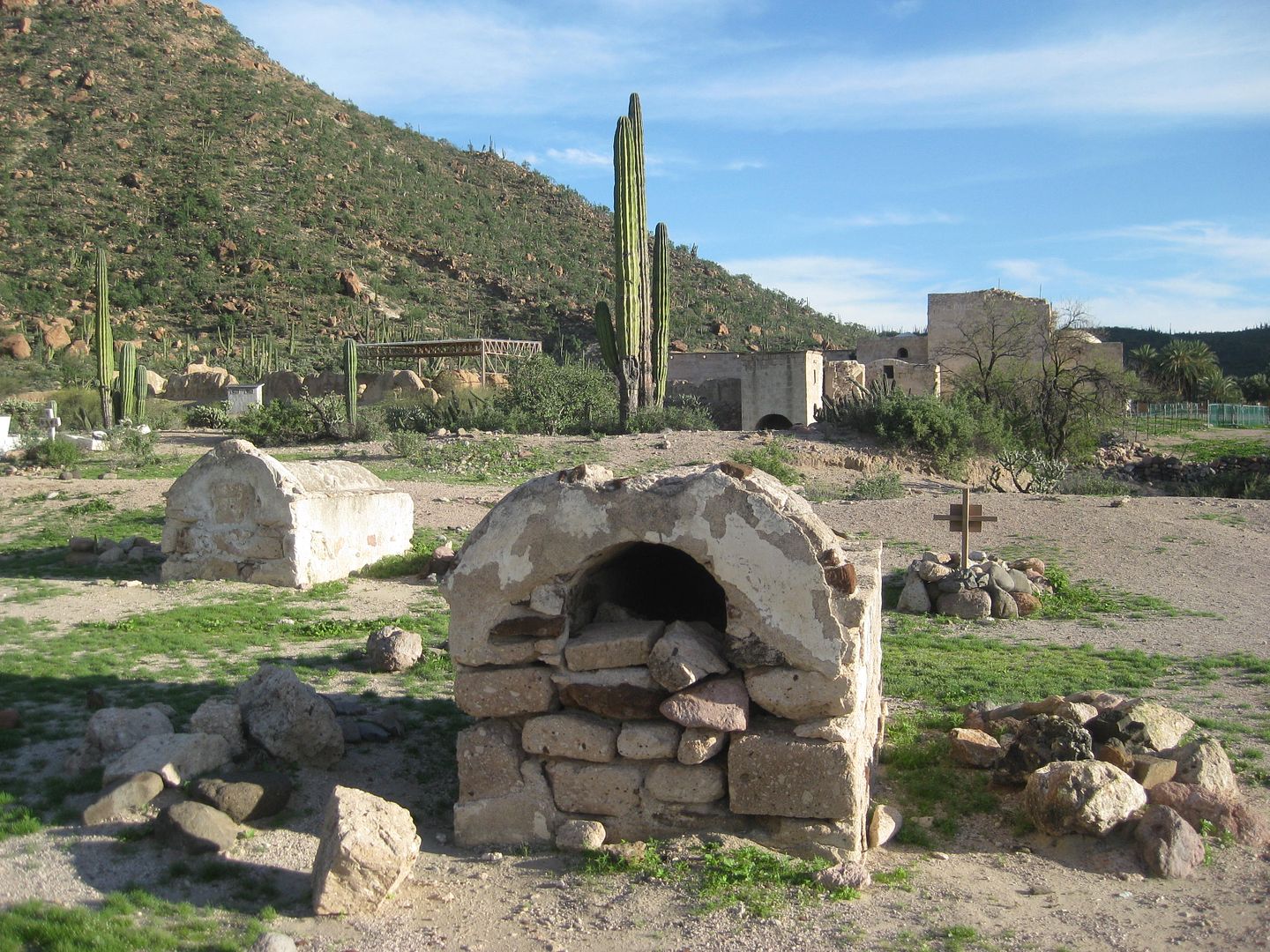
of just a small portion of wall remaining and the crypts next to the mission ruins. Today, just two crypts remain and are all that is left of the once
prosperous mission. Next door (west of crypts) is a private home... built on top of where the mission church was and fenced/ walled closed.
I check out the little motel, very basic, but clean, has hot water, and satellite TV with some 500 channels (a few in English including Fox News and
CNN... great both real and fake news to watch)!It is the day before the Superbowl so that is all I am hearing about.
After cleaning up I go next door to have a delicious fish dinner. I also bought three bags of ice from the market to keep my OJ, milk, string cheese,
and water bottles cold.
The room was 250 pesos (=$12.50) and the dinner (with a beer) was 125 pesos (=$6.25) + 75 peso tip (as he was closing but made my dinner anyway). I
think Willy Airstream's group an hour earlier had worn him out. He also went to the store to buy my beer and some supplies to make my meal! Otho
rocks!
I slept well, and was glad to have the room, it was cold! A family arrived and they were given the room right next door... so I had some kid noise
issues, but that didn't last. The parking is inside the courtyard and the gate was closed when I left in the morning.
End of Day 6... 4 more to go!
PHOTOS:
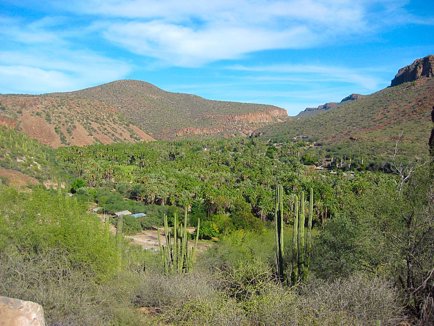
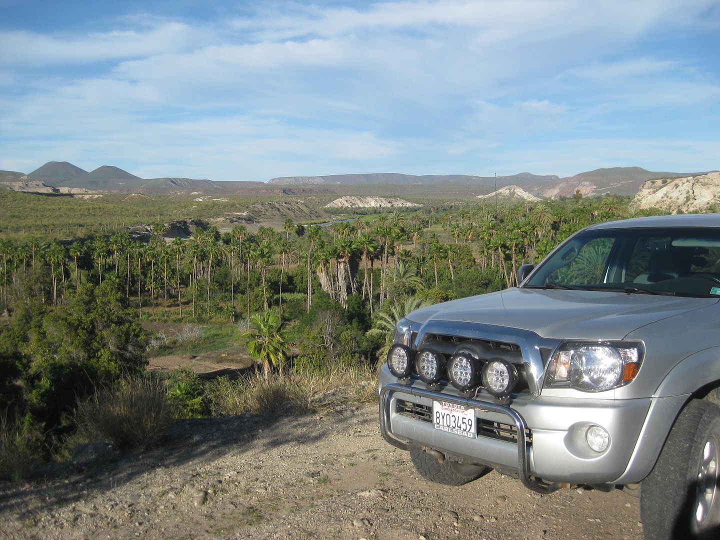
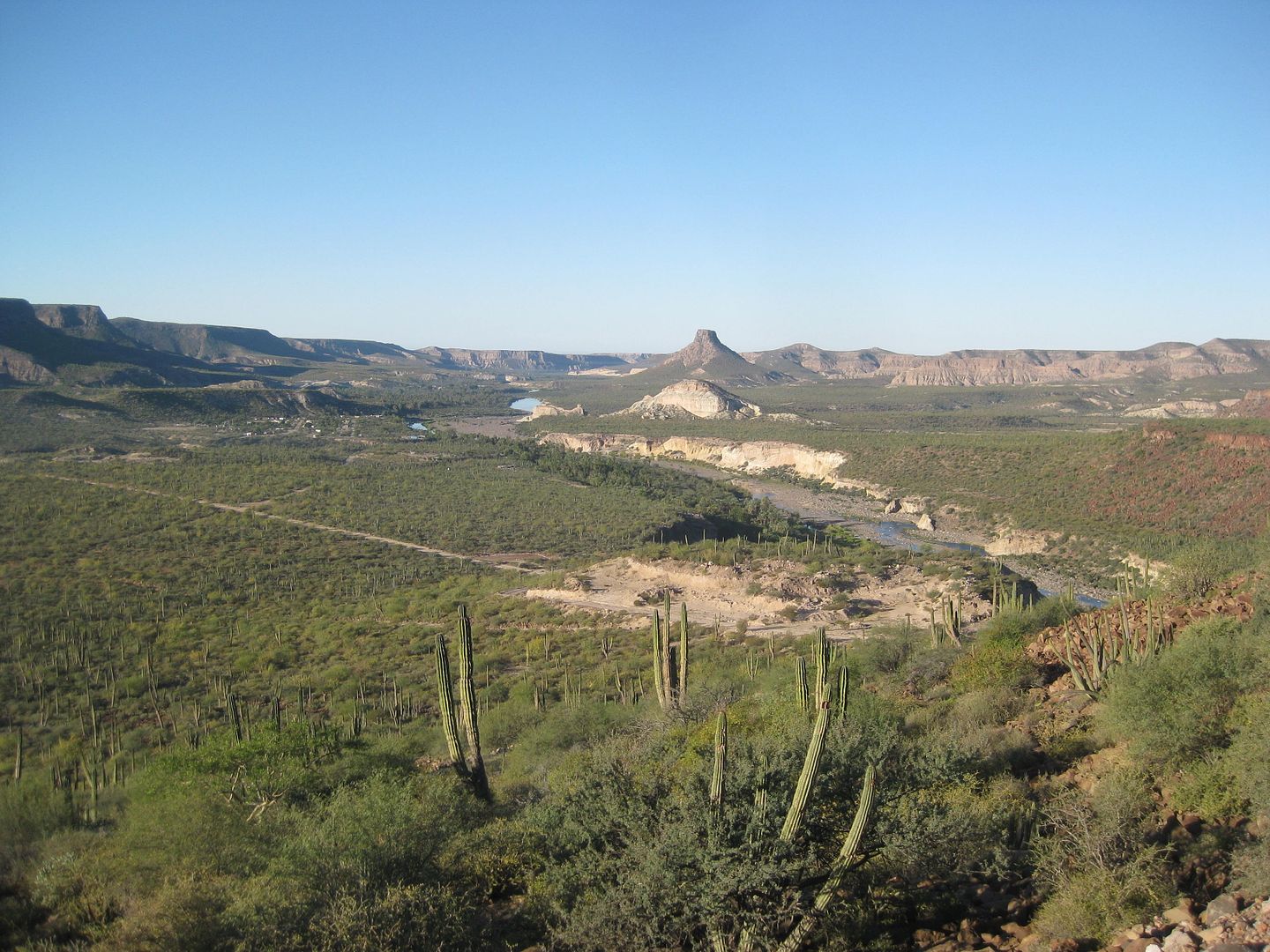
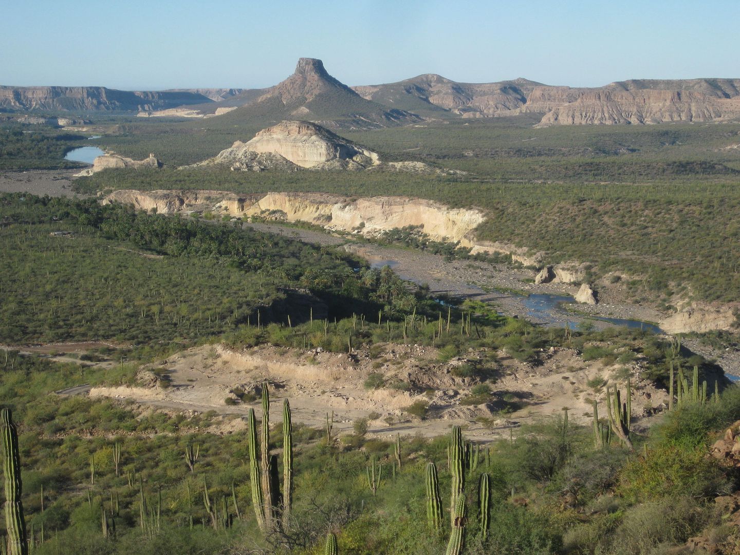
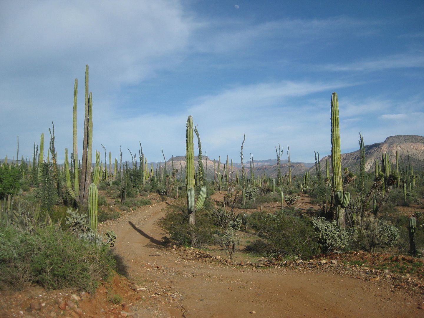
Looking back to San José Comondú from the road heading northwest to La Purísima.
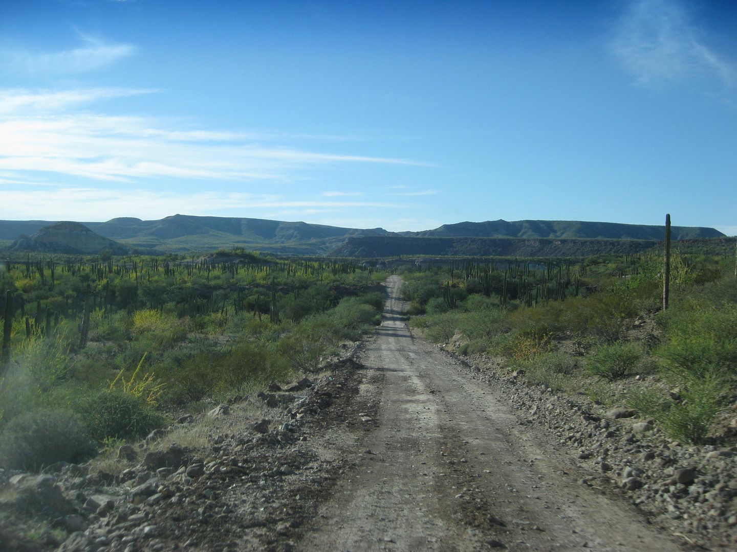
The 18-mile road between the two mission valleys is pretty good now!
Mission aqueduct along the road near San Isidro.
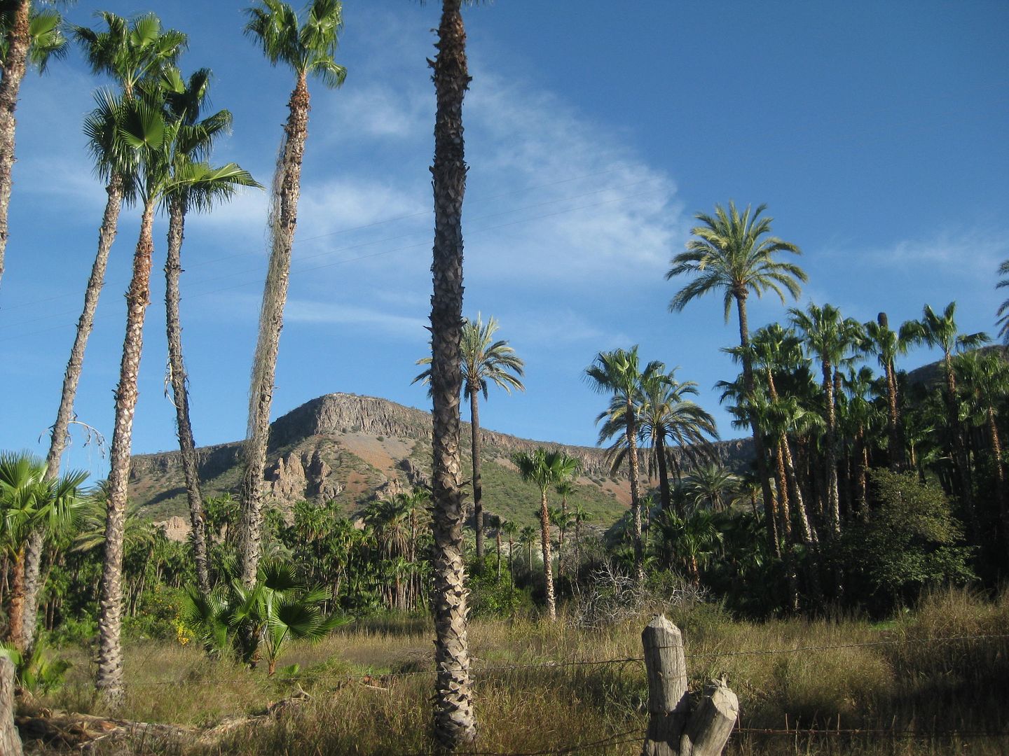
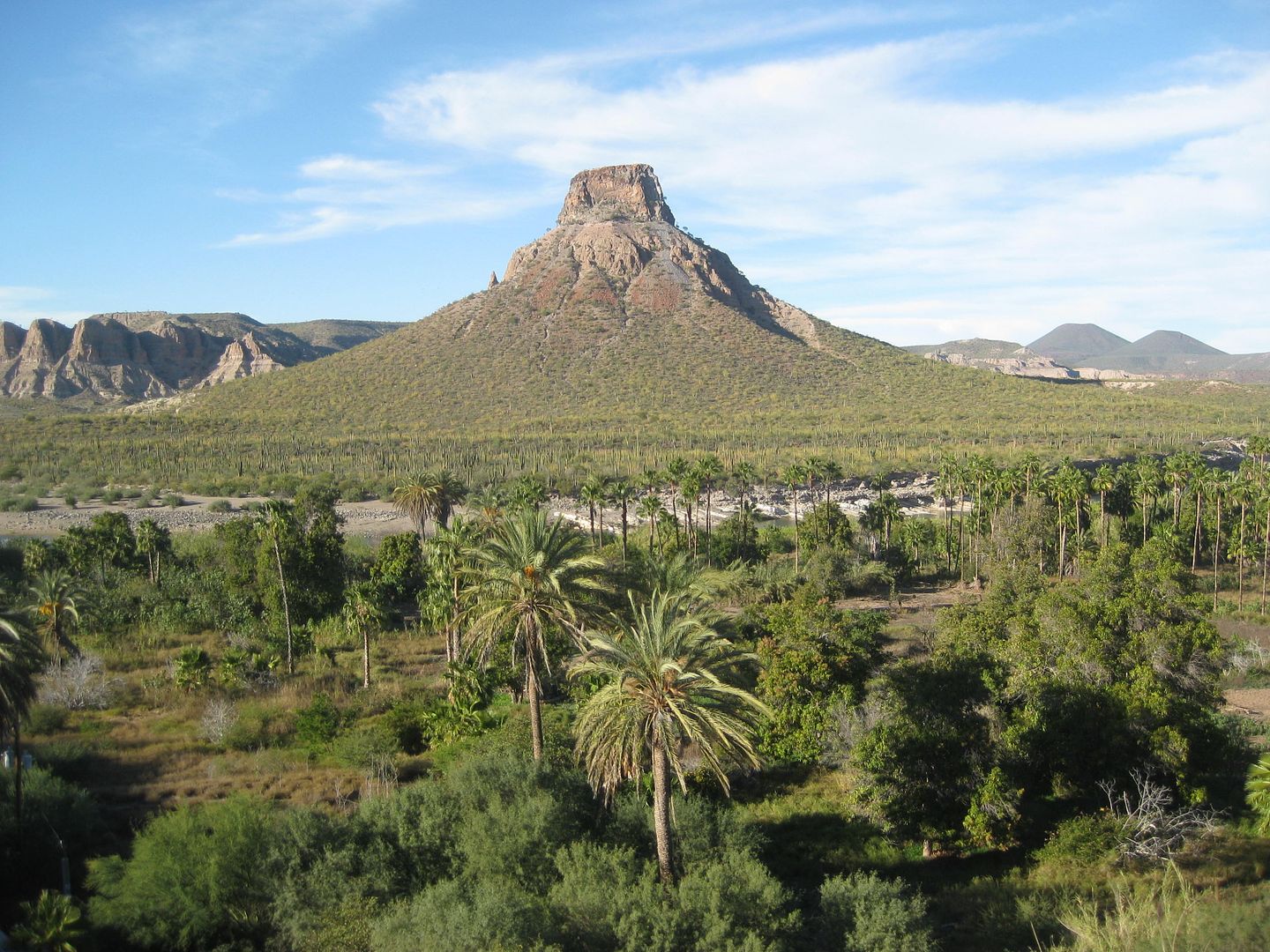
El Pilón
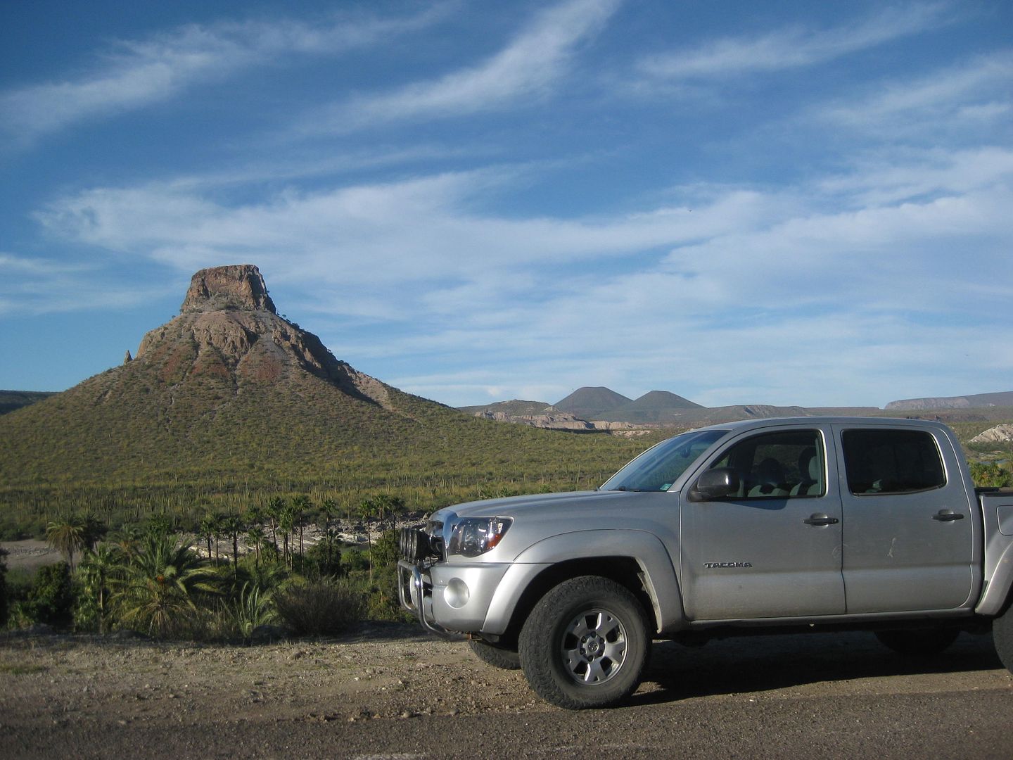
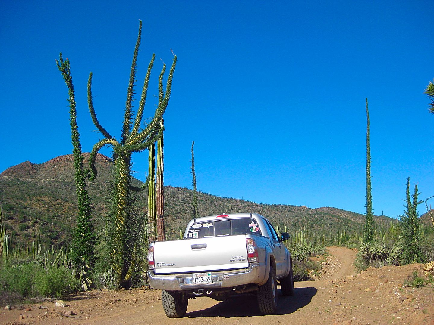
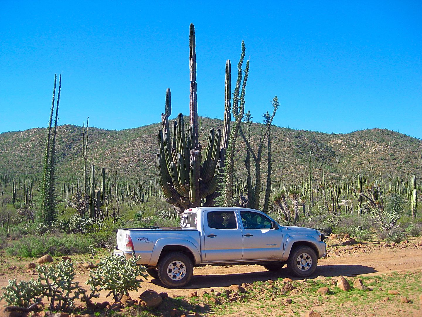
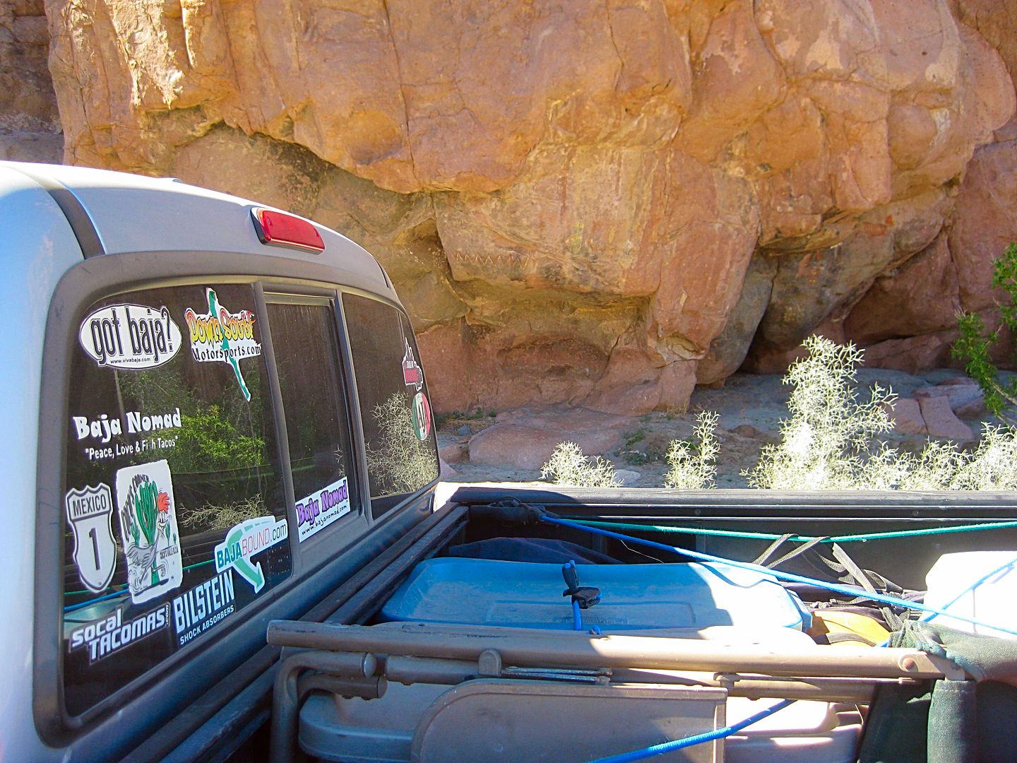
I know how popular seeing my Tacoma in Baja is to you all, LOL!
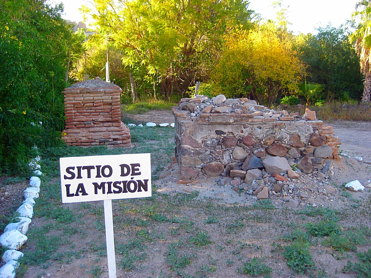
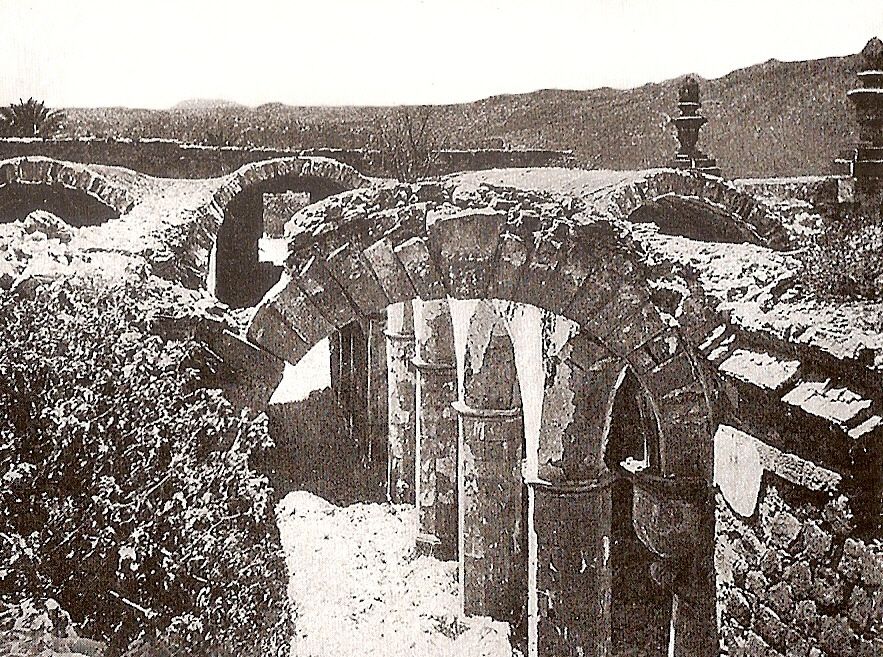
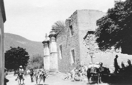
That's all there is of the mission! Following are some historic photos:
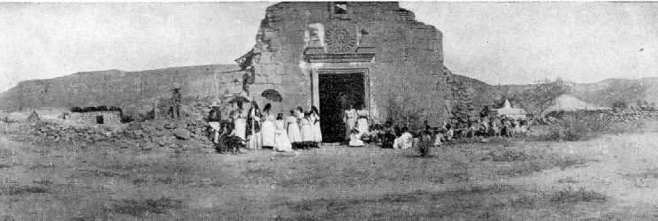
1906
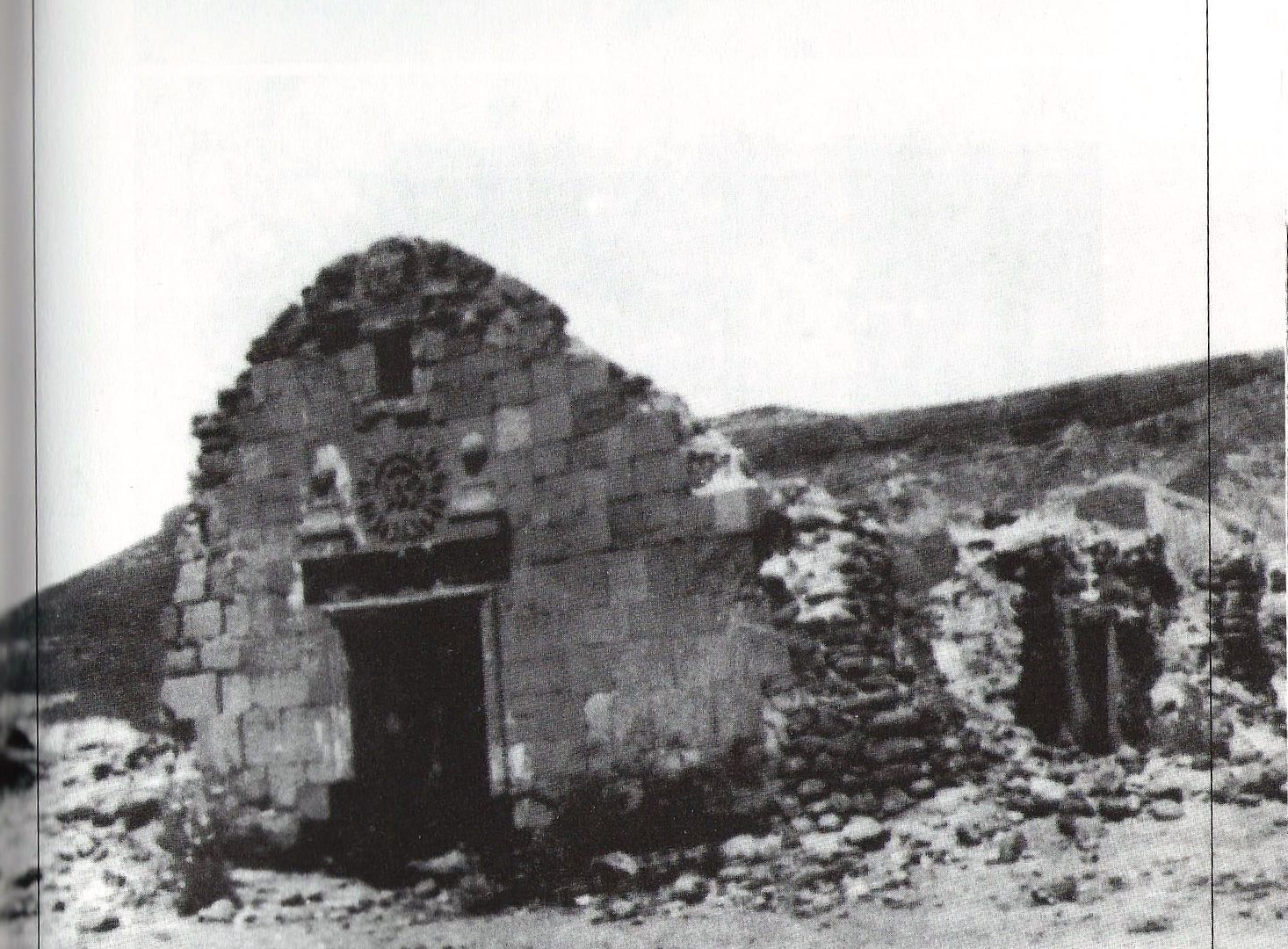
Date: circa 1920?
1926
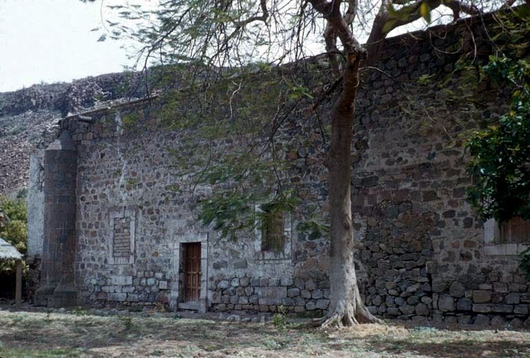
1949
1956
1956

2001
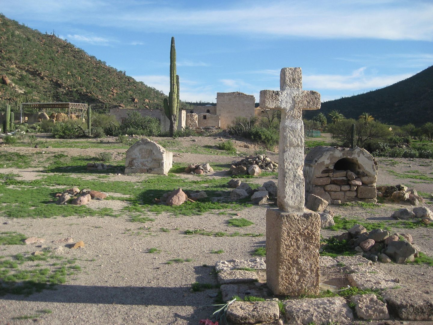
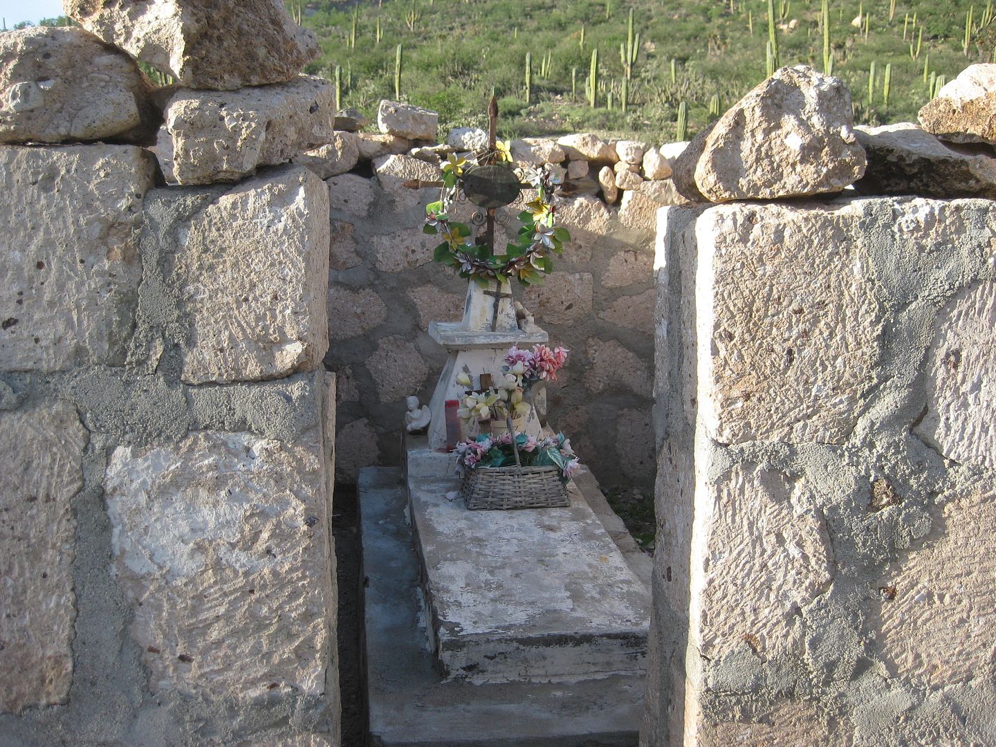
Some more around the tombs in 2017:
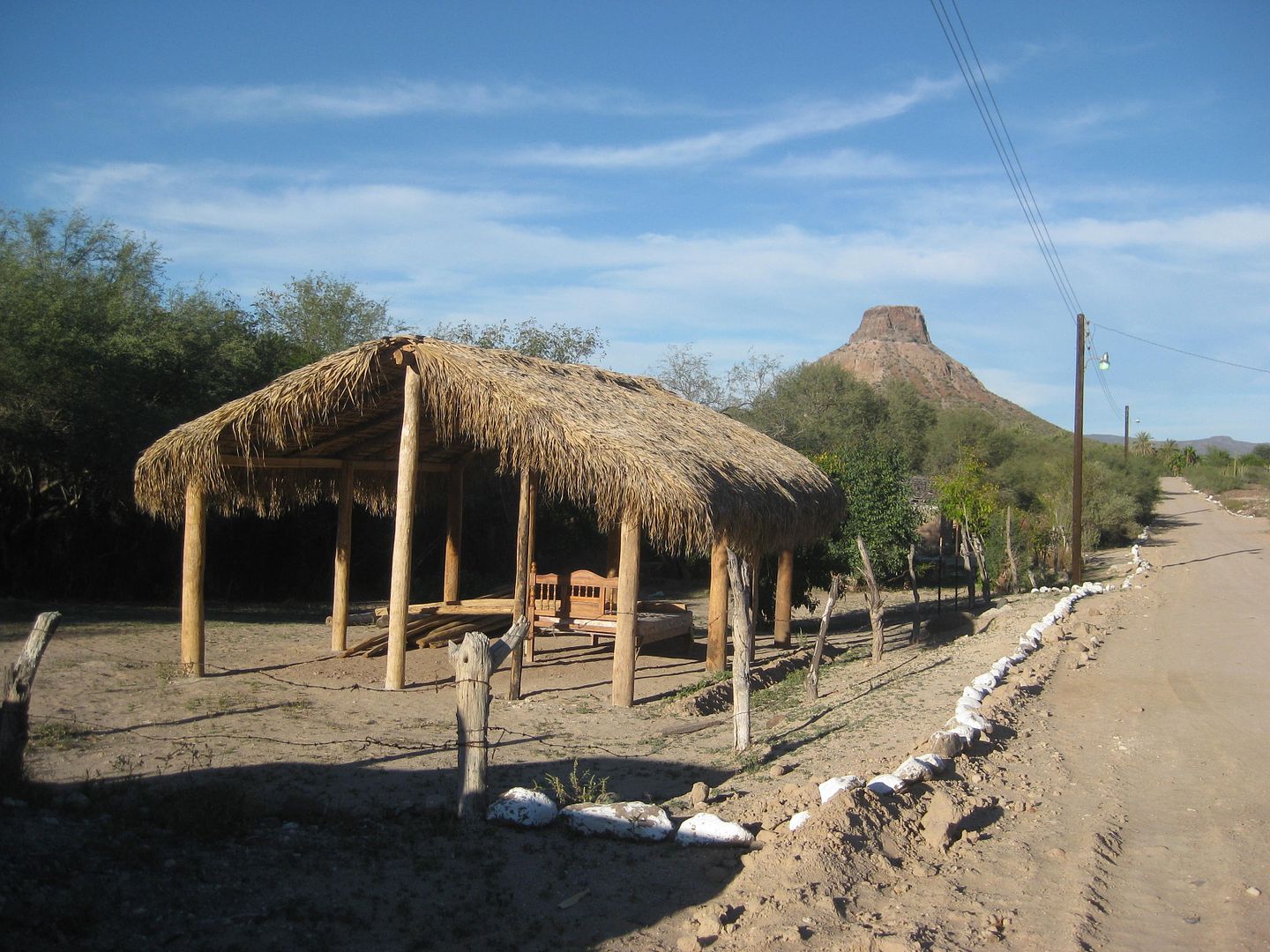
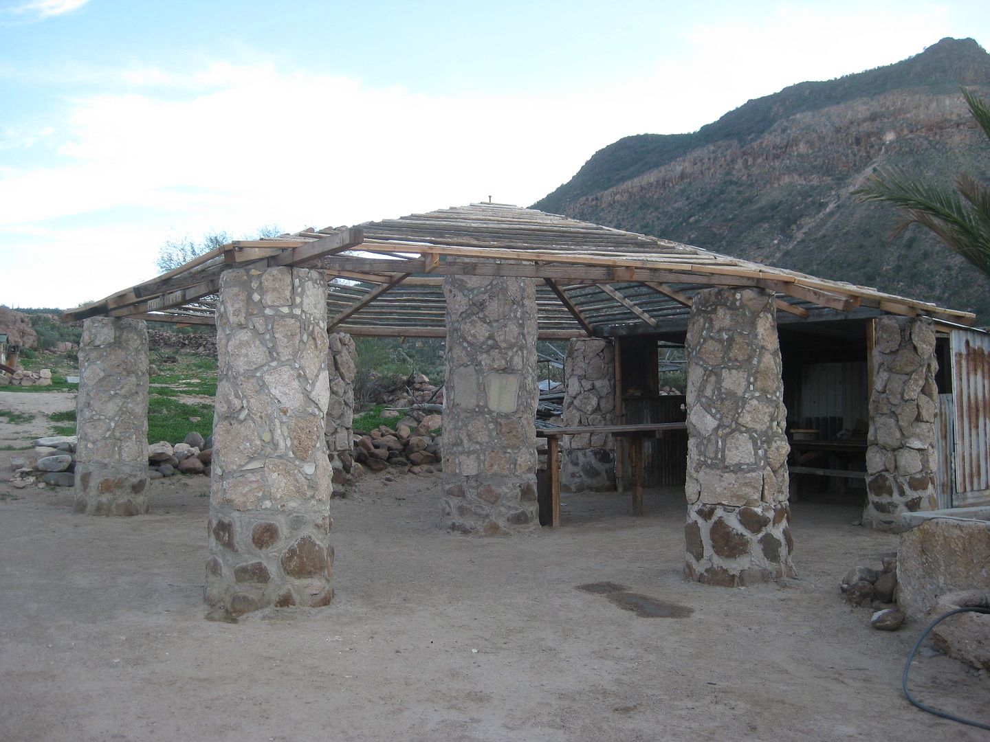
The shade structure is along the street next to the mission site.
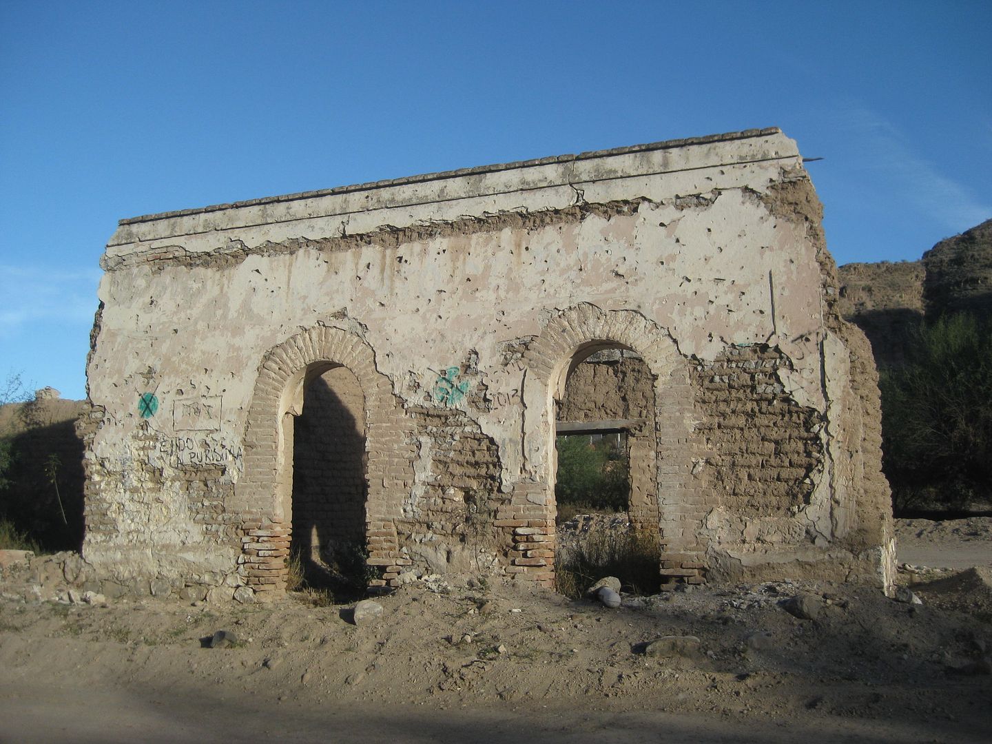
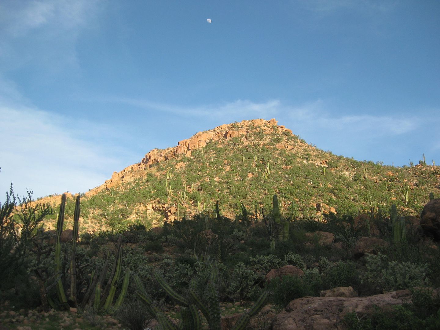
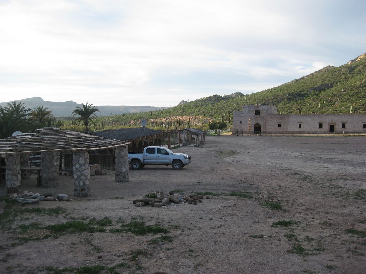
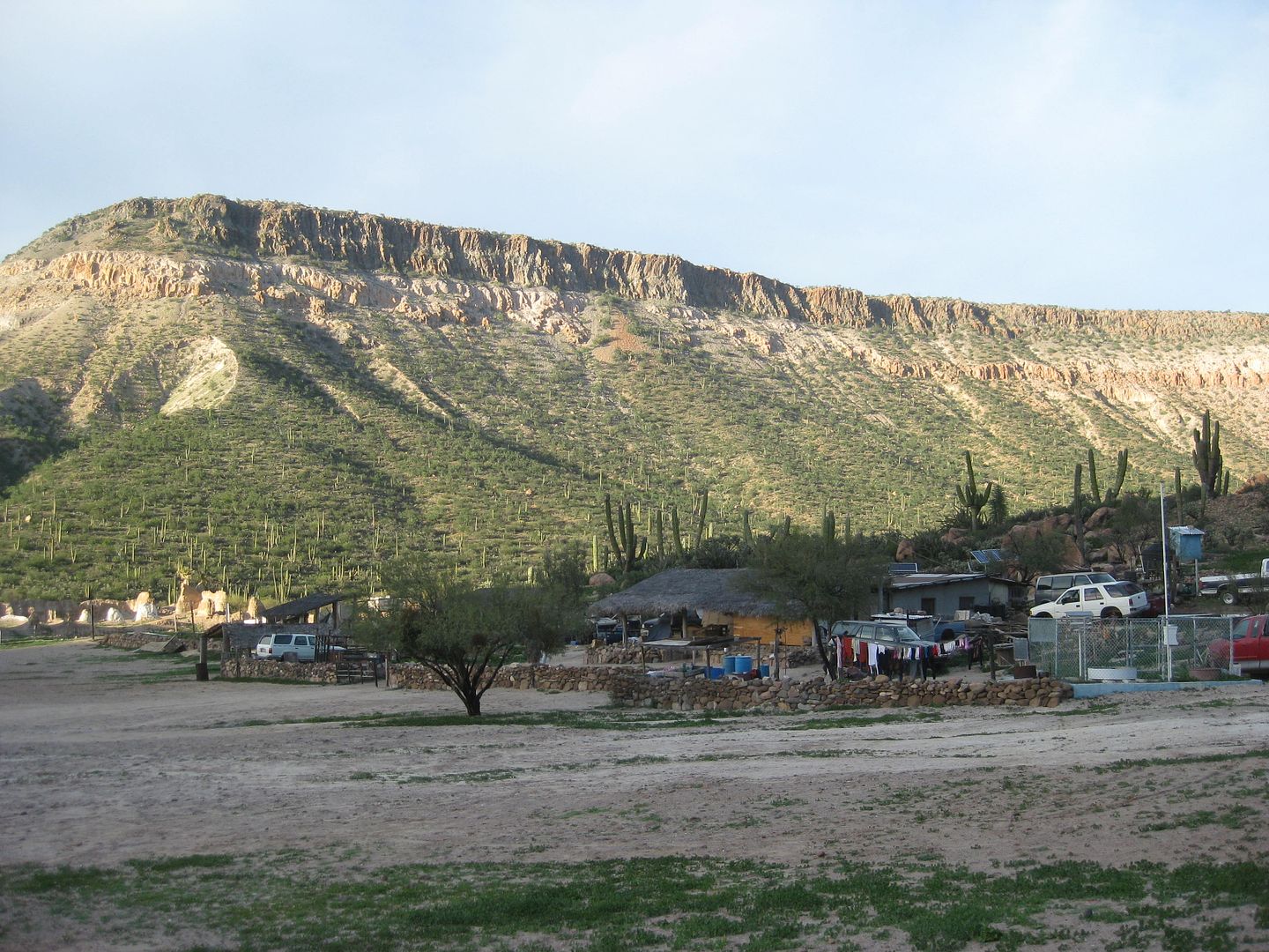
More of La Purísima town:
The motel Posada del Angel:
Buenas noches y hasta la mañana!
[Edited on 2-20-2017 by David K]
|
|
|
fishbuck
Banned
Posts: 5318
Registered: 8-31-2006
Member Is Offline
|
|
Nice. Keep em coming.
"A ship in harbor is safe, but that is not what ships are built for." J. A. Shedd.
A clever person solves a problem. A wise person avoids it. – Albert Einstein
"Life's a Beach... and then you Fly!" Fishbuck
|
|
|
Cliffy
Senior Nomad
Posts: 984
Registered: 12-19-2013
Member Is Offline
|
|
This is fascinating!
I presume the names of the buried are lost to the ravages of time. It would be interesting to know the secrets contained in the tombs. Someone put a
lot of effort in to build them. Why? Who's in there? What's their story?
We go there now and want everything INCLUDING ice!
What of the distant Indians who were the first to survive there? Could any of us survive in the same manner as they did back then?
I think not!
You chose your position in life today by what YOU did yesterday
|
|
|
David K
Honored Nomad
Posts: 64480
Registered: 8-30-2002
Location: San Diego County
Member Is Offline
Mood: Have Baja Fever
|
|
DAY 7 Sunday Feb. 5, 2017
I get an early start from La Purísima, on the road before 8. The gate for the motel courtyard parking was closed, so nice security measure there.
0.0 Comondú road junction, 4.6 miles east from La Purísima (Restaurant Otho)
1.1 Top of switchback grade out of the valley.
6.2 Sign: Los Narranjos
16.8 Ranch and a Km. 31 post
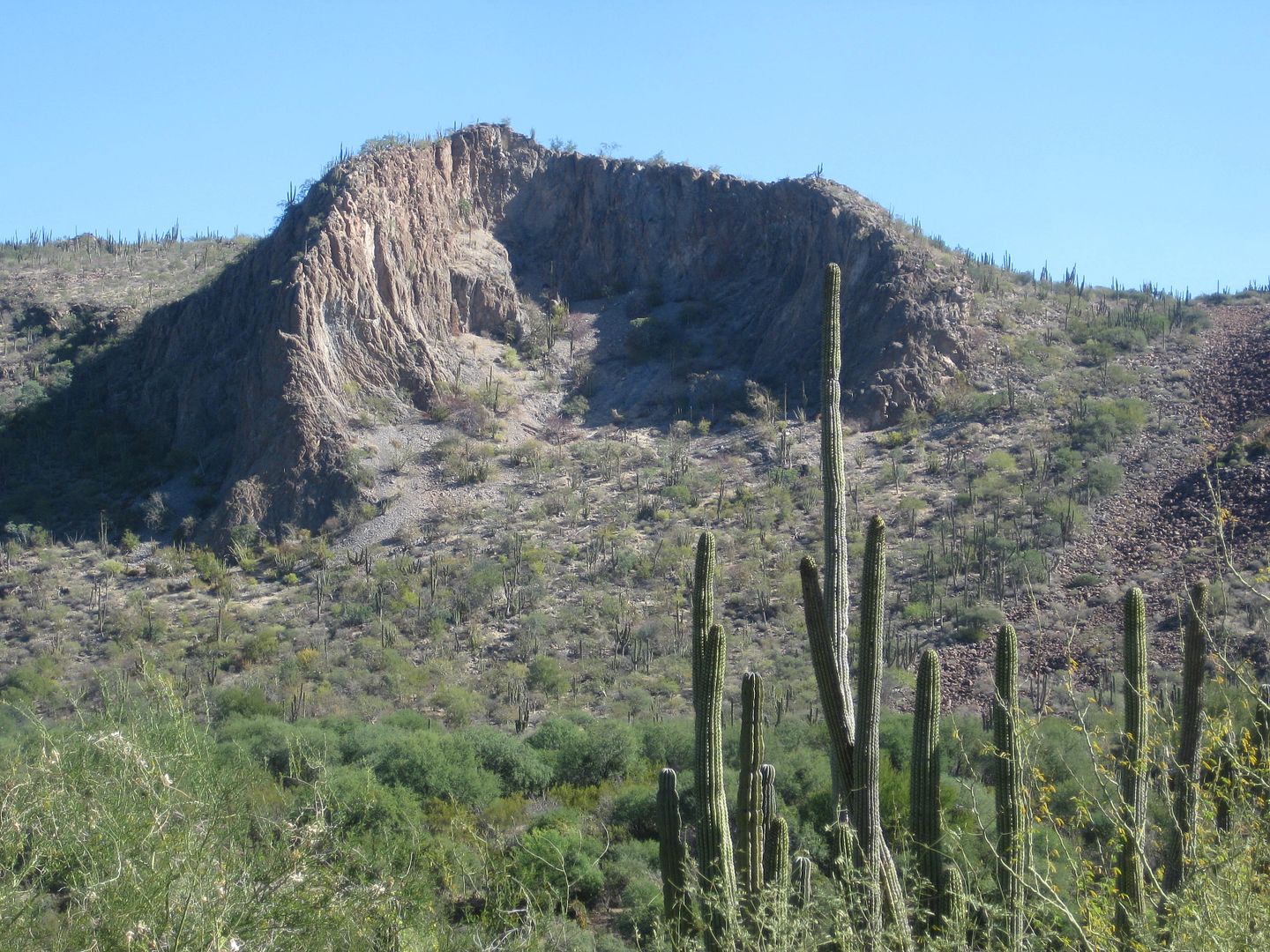
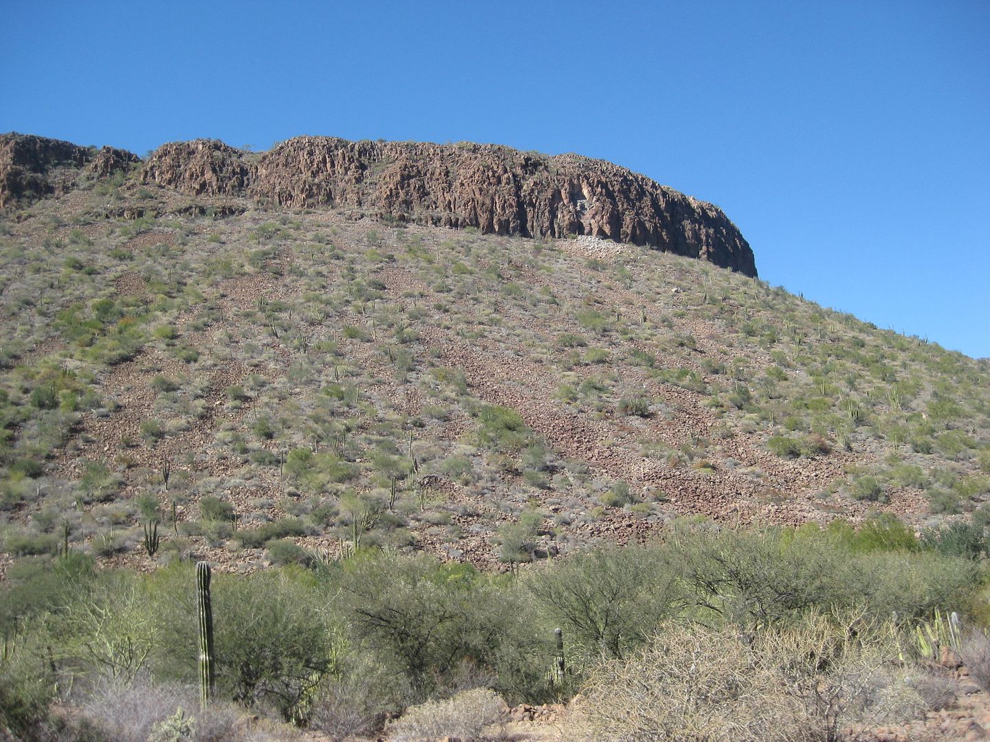
21.0 Road south (was the original road to La Paz before the 1970s) goes to Rancho San Juan and the hike to Comondú Viejo, the original mission
location from 1708 to 1736. See below...
32.0 Highway One (at Km. 59+)
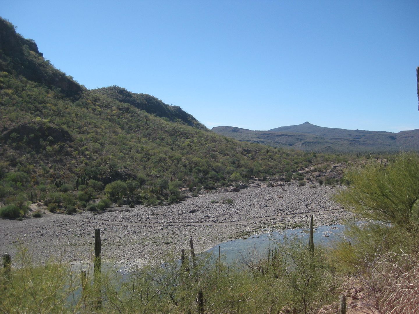
Morning at La Purísima Valley.
View from partway up the grade.
This road has not seen maintenance since the bad floods of the past couple of years. 4WD may not be needed, but only trucks and SUVs should use this
road. It took me 3 hours driving to go the 37 miles. The final 10 mies are very good, near Hwy. 1.
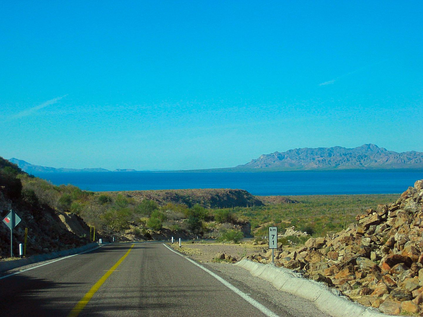
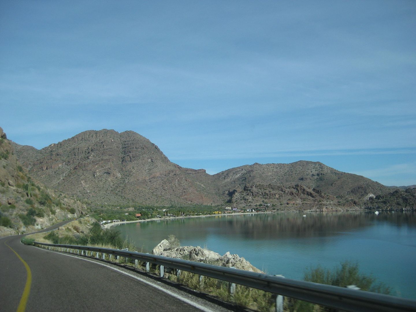
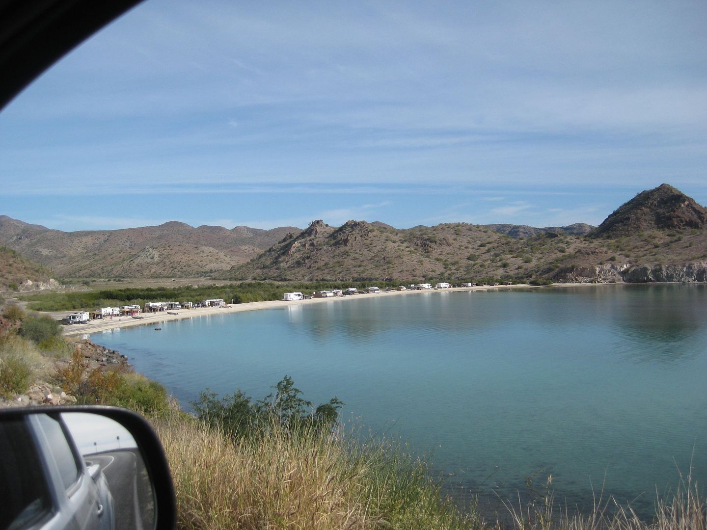
Bahía Concepción was a welcoming sight!
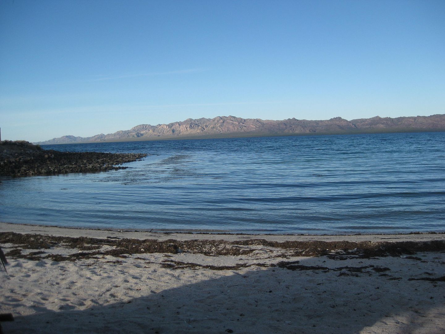
I went back to La Perla, but this time Serg had two other Canadian camper couples as neighbors. So, I made it four campers and the only American.
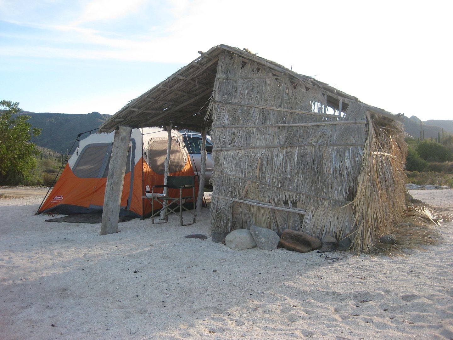
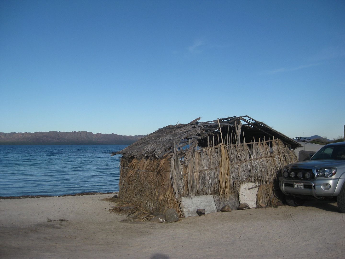
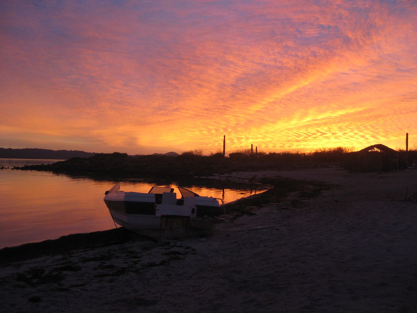
Good Night Amigos from La Perla!
Side trip to San Juan/ Comondú Viejo:
0.0 La Purísima Road (11 miles from Hwy. 1/ 26 miles from La Purísima)
0.9 Ranch on right.
1.3 Cattle Guard
2.5 Closed Gate, for cattle control, close behind you.
3.0 Rancho San Cristobal road to right.
4.1 Cattle Guard
4.3 Fork. Go left. Right shows on AAA map to San José Comondú.
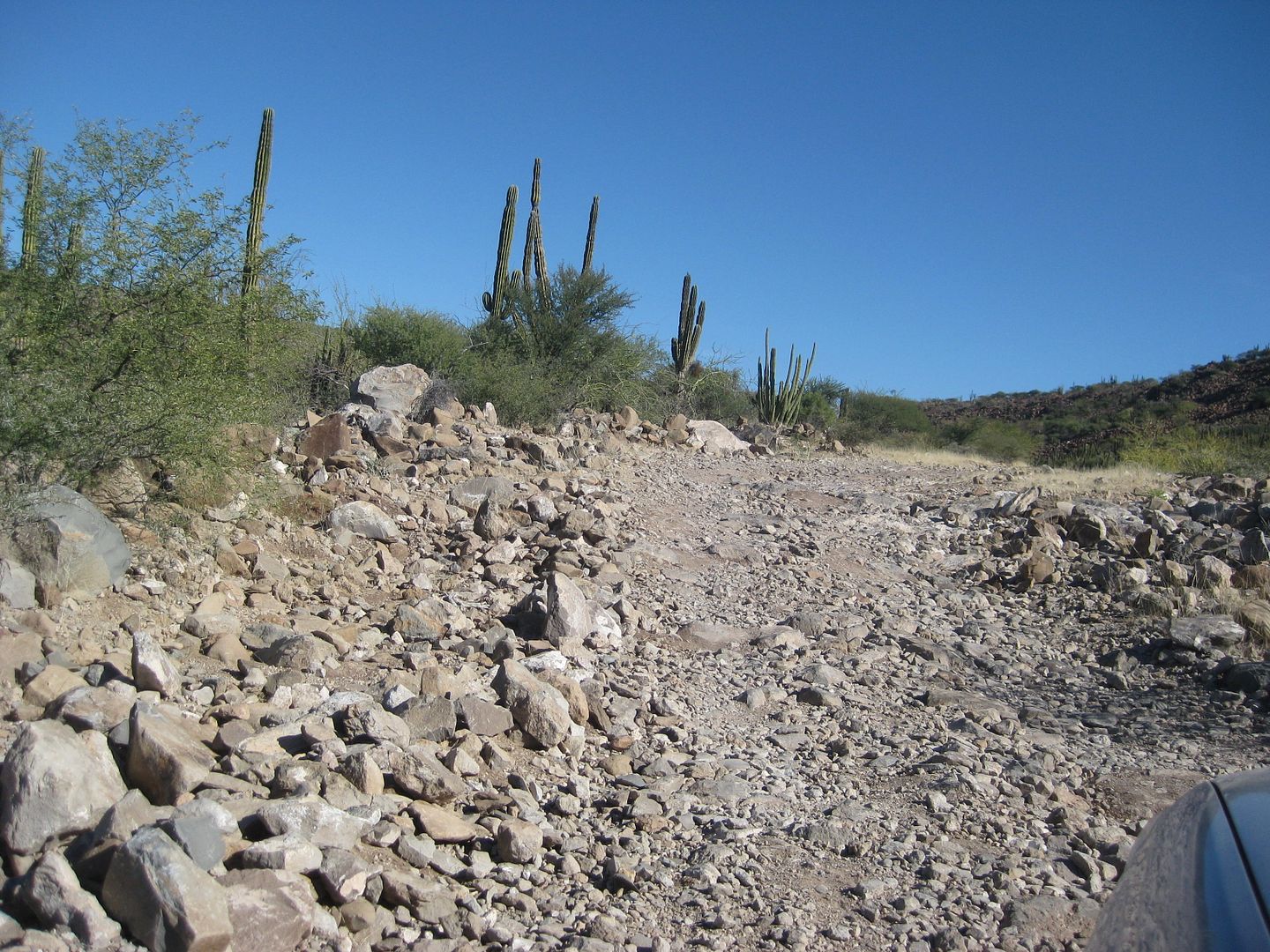
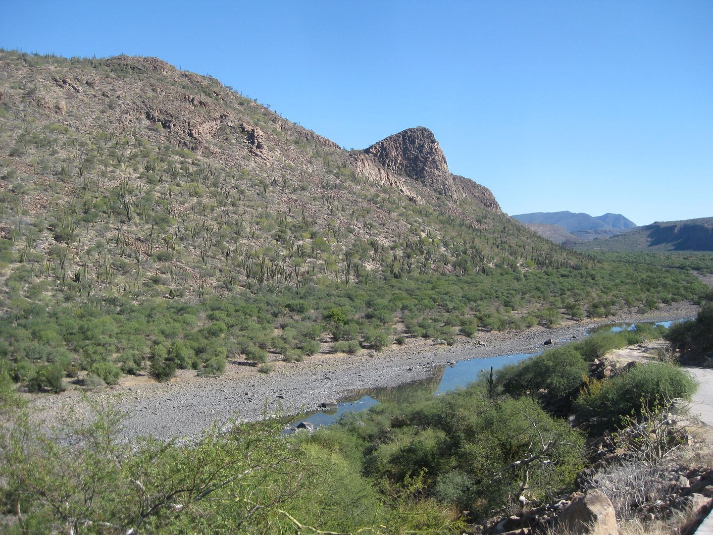
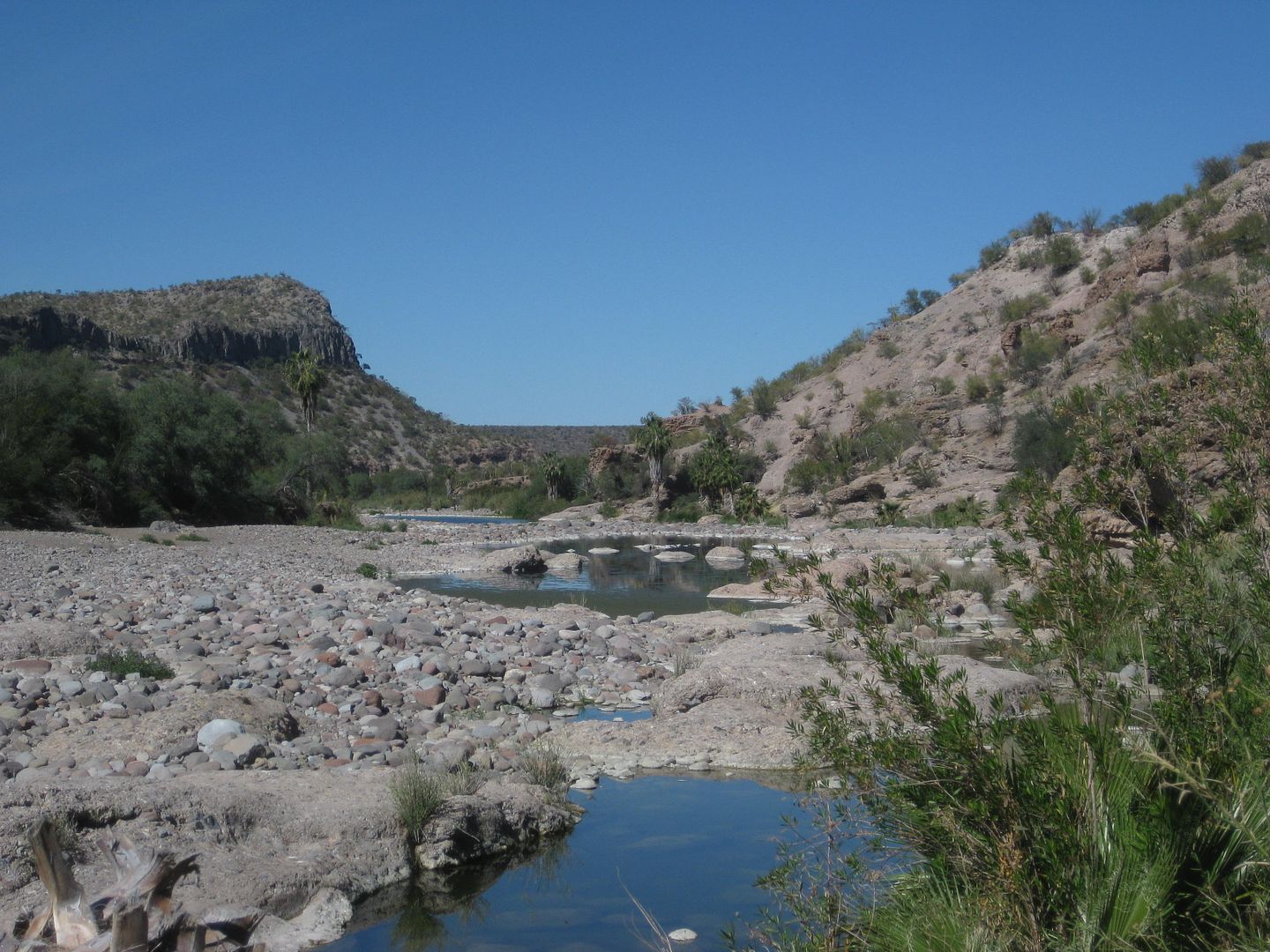
Road crosses riverbed and is a bit tough to the ranch.
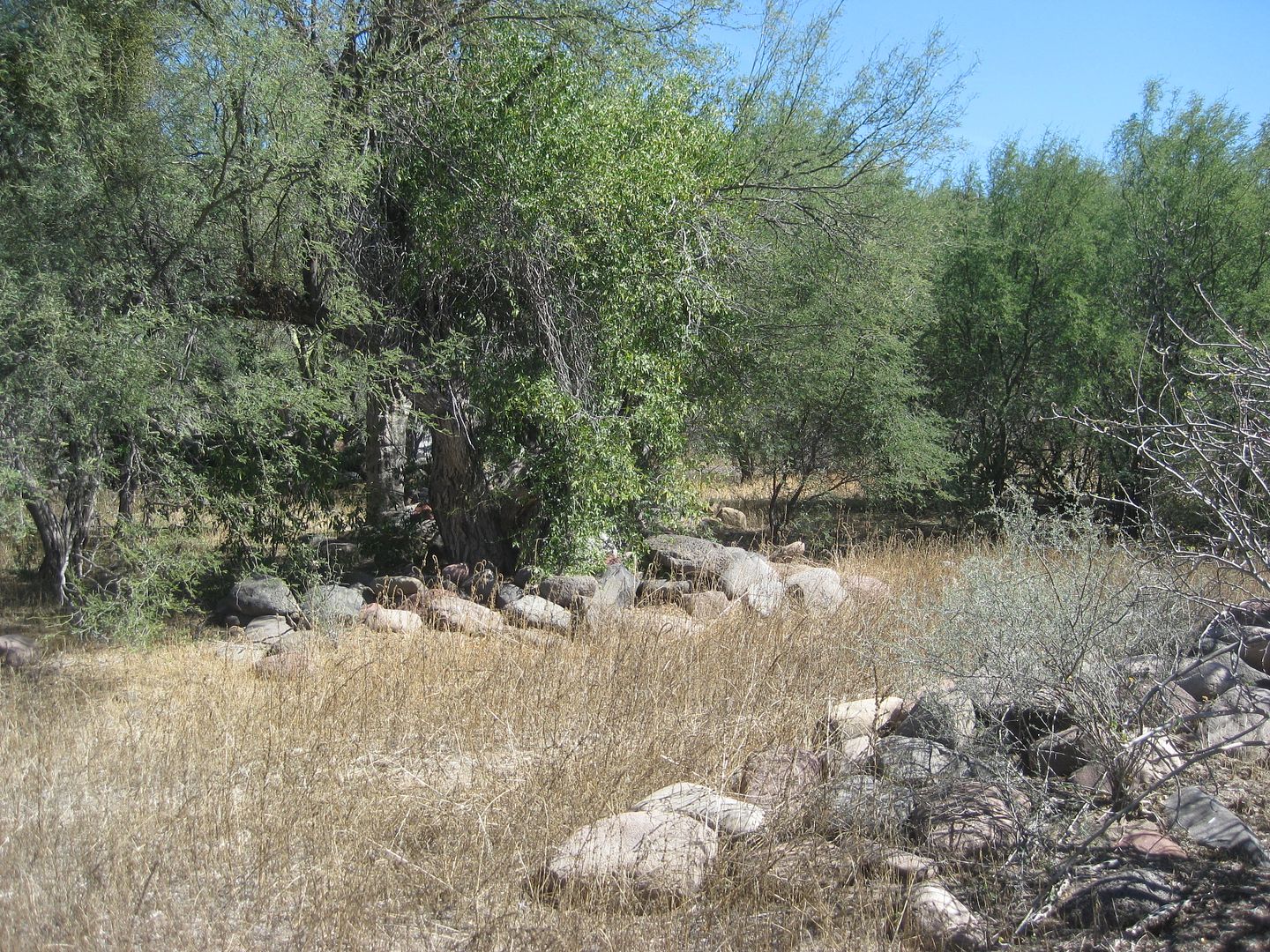
Looking back at where I just crossed the riverbed, near Rancho San Juan.
6.5 Rancho San Juan, an active goat ranch. You may get some stares as this really is the end of the road, being that it is totally obliterated where
it once recrossed the riverbed ahead. Continue ahead, passing baby goat pen.
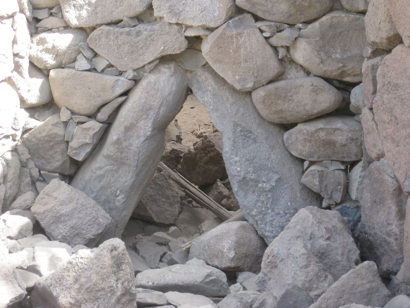
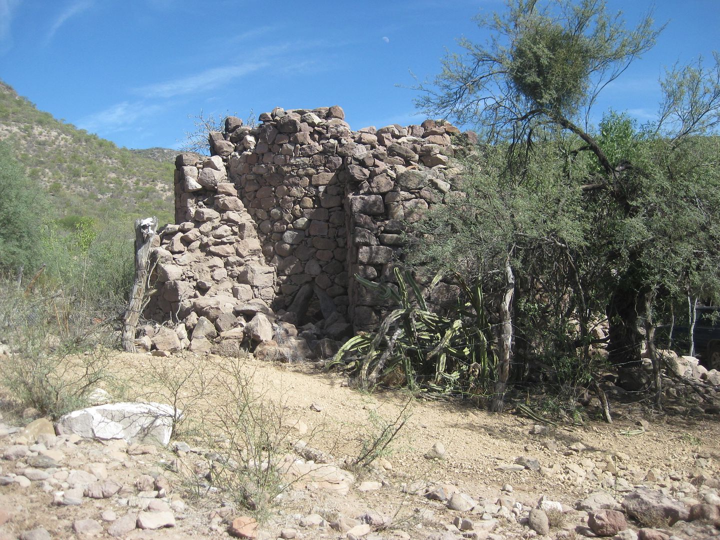
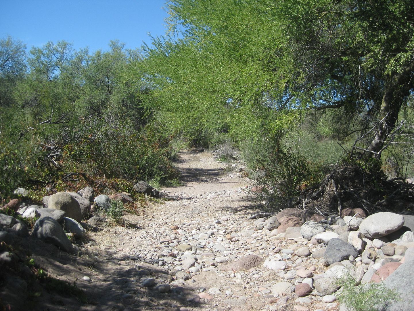
7.1 Park on the right. Ahead the road ends and there is no easy turnaround. Begin Hike Here. The mission site is just 3/4 mile away. You must cross
the riverbed twice. GPS almost mandatory to find the ruins, as they are so heavily overgrown upon.
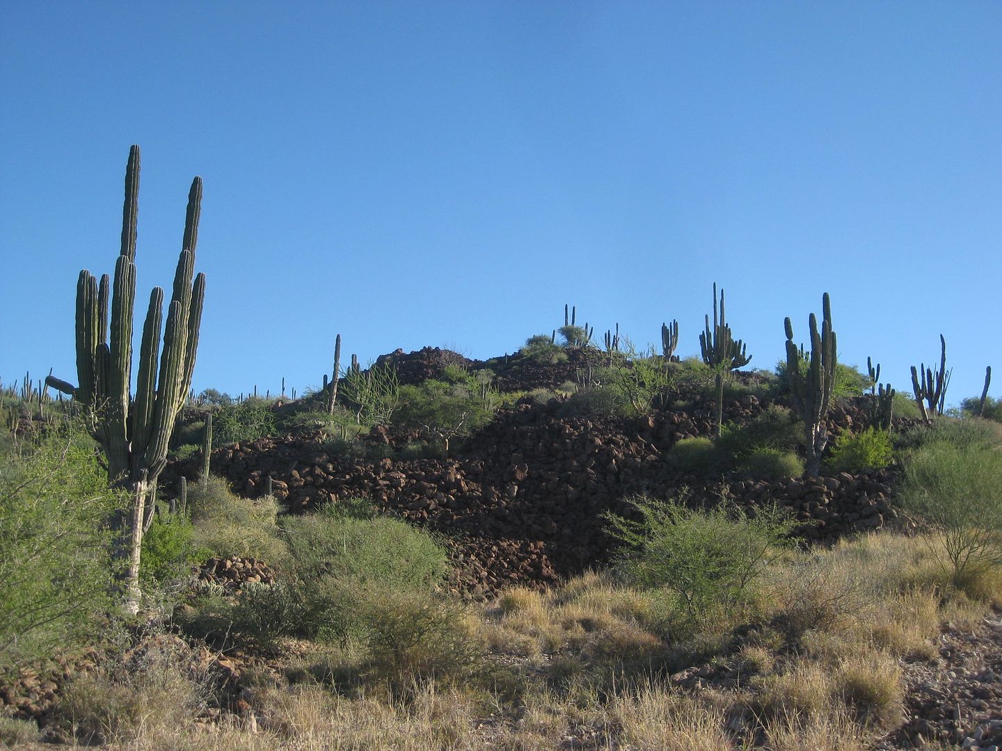
Photos from the Comondú Viejo sidetrip:
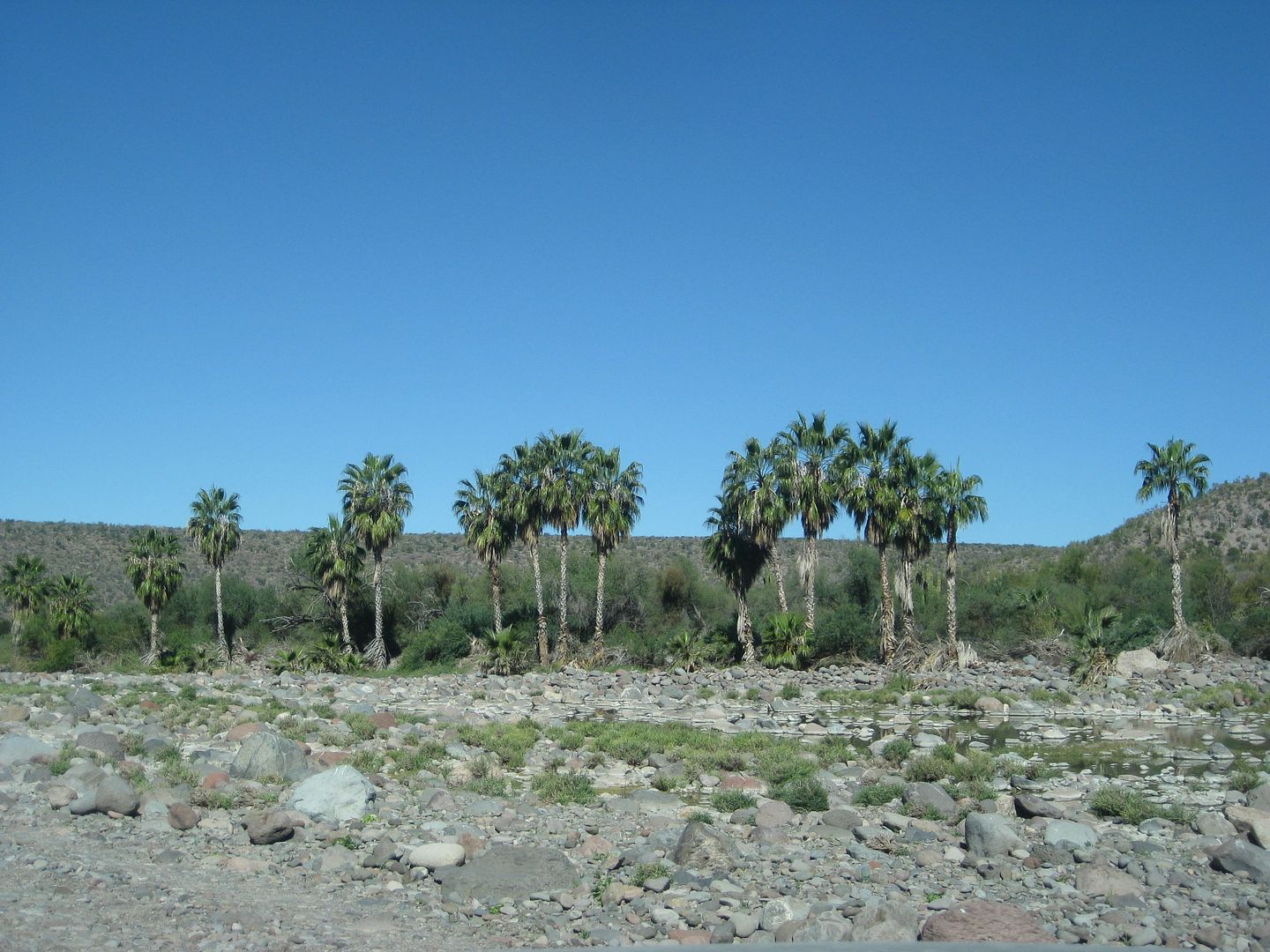
Nearing San Juan.

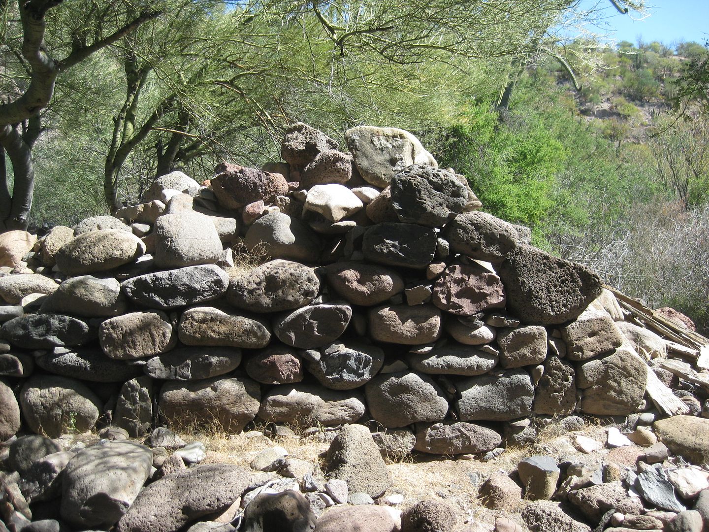
Just after the road vanishes at the riverbed's edge, I first tried to go up the riverbed. That didn't work out well. I finally found the old road on
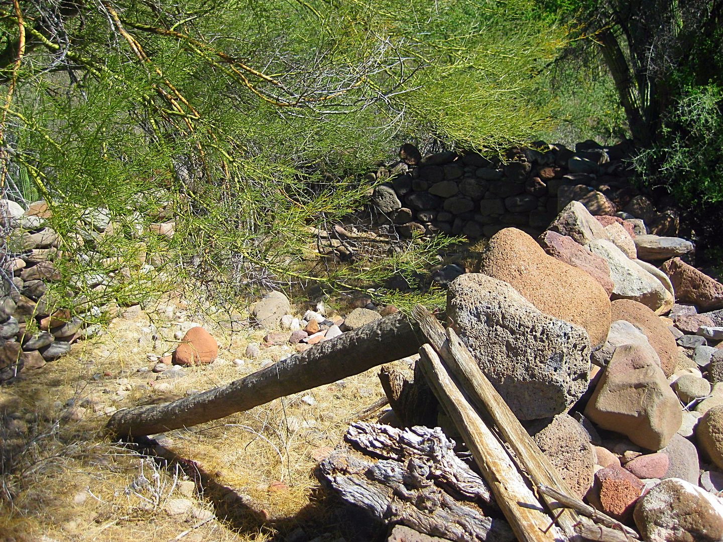
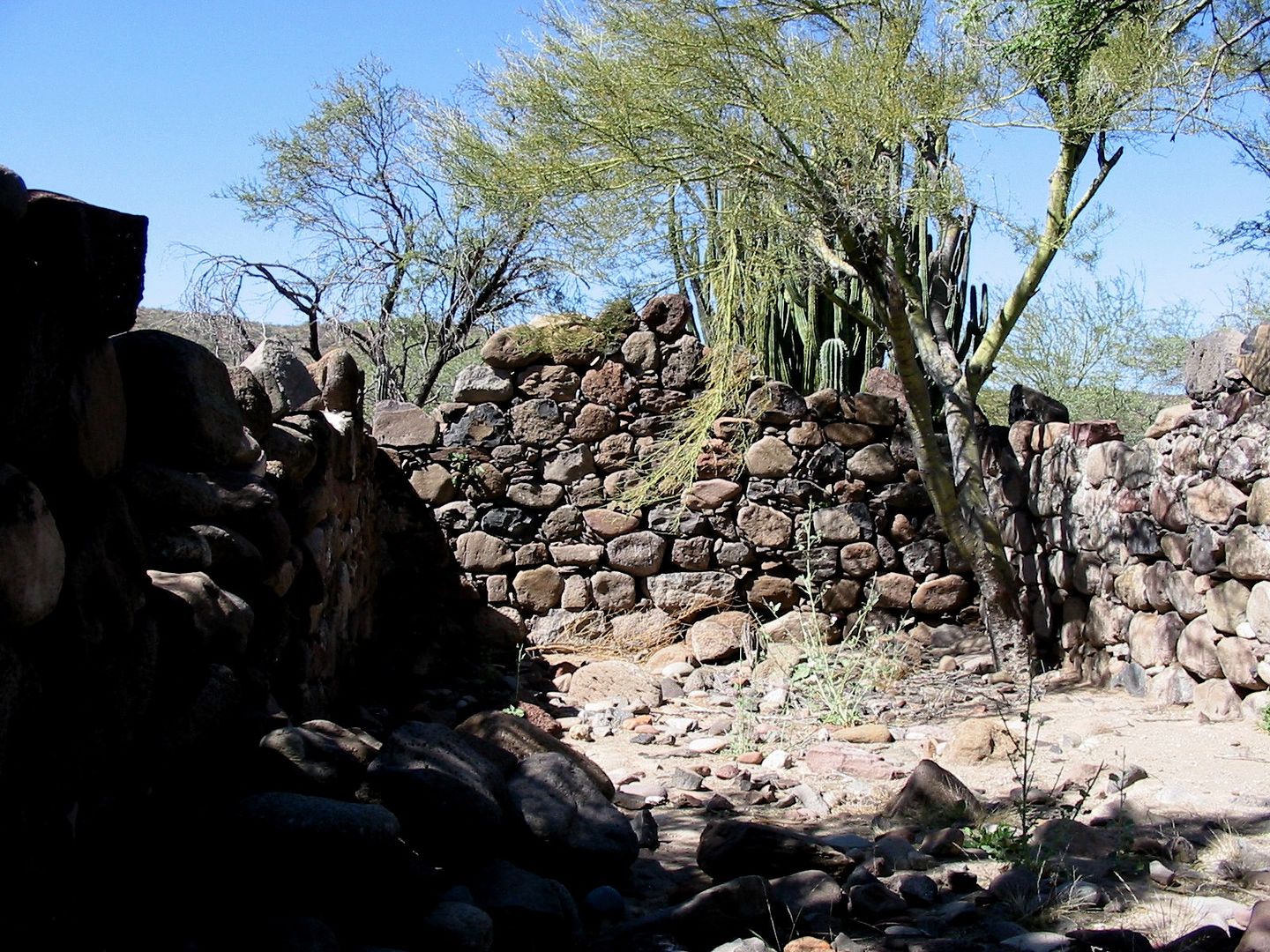
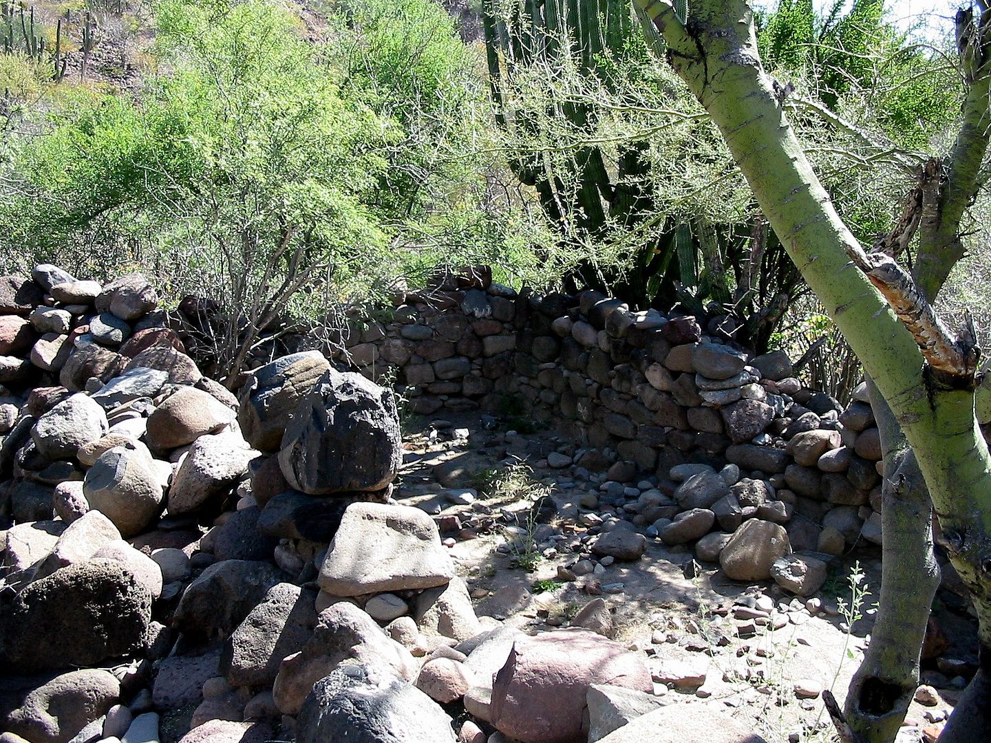
the opposite side. Where it again comes to the riverbed, I lost the road on the other side... so I began to bushwack and found mission corral walls!
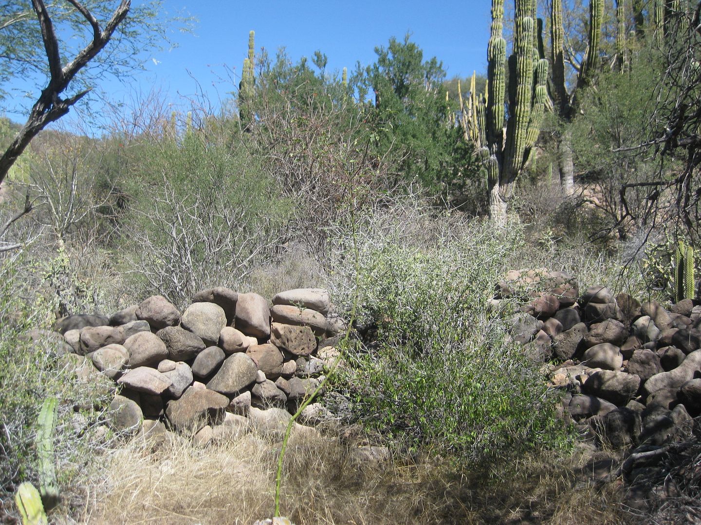
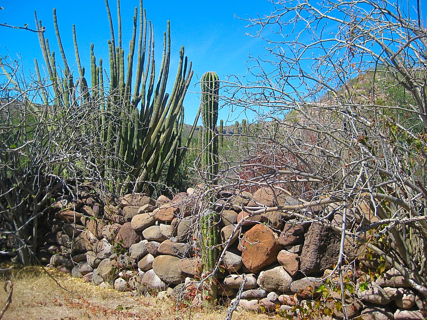
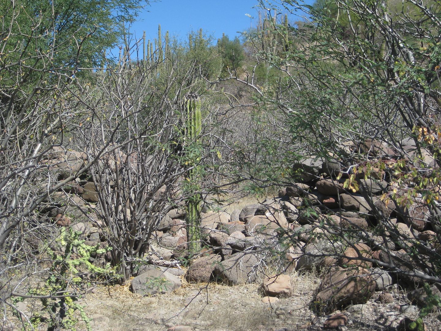
There were so many... but I was seeking the small building that was the padre's quarters. It was near the church, which was made of adobe, and has
vanished.
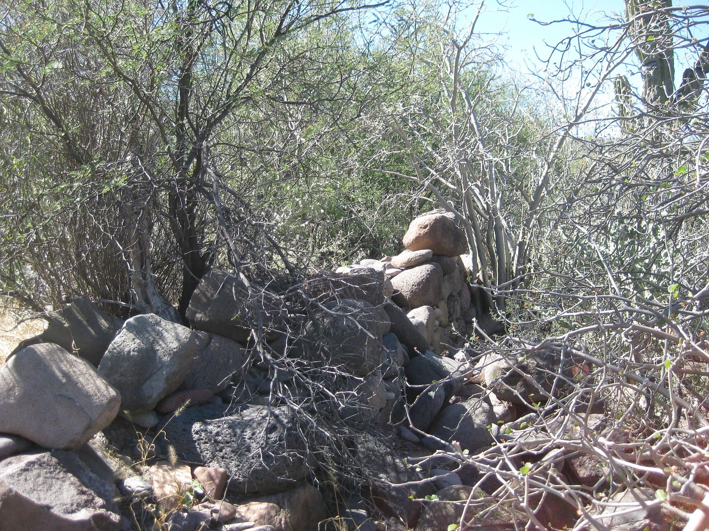
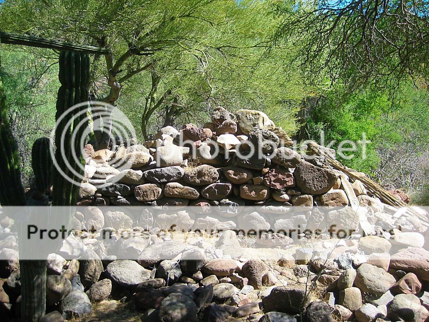
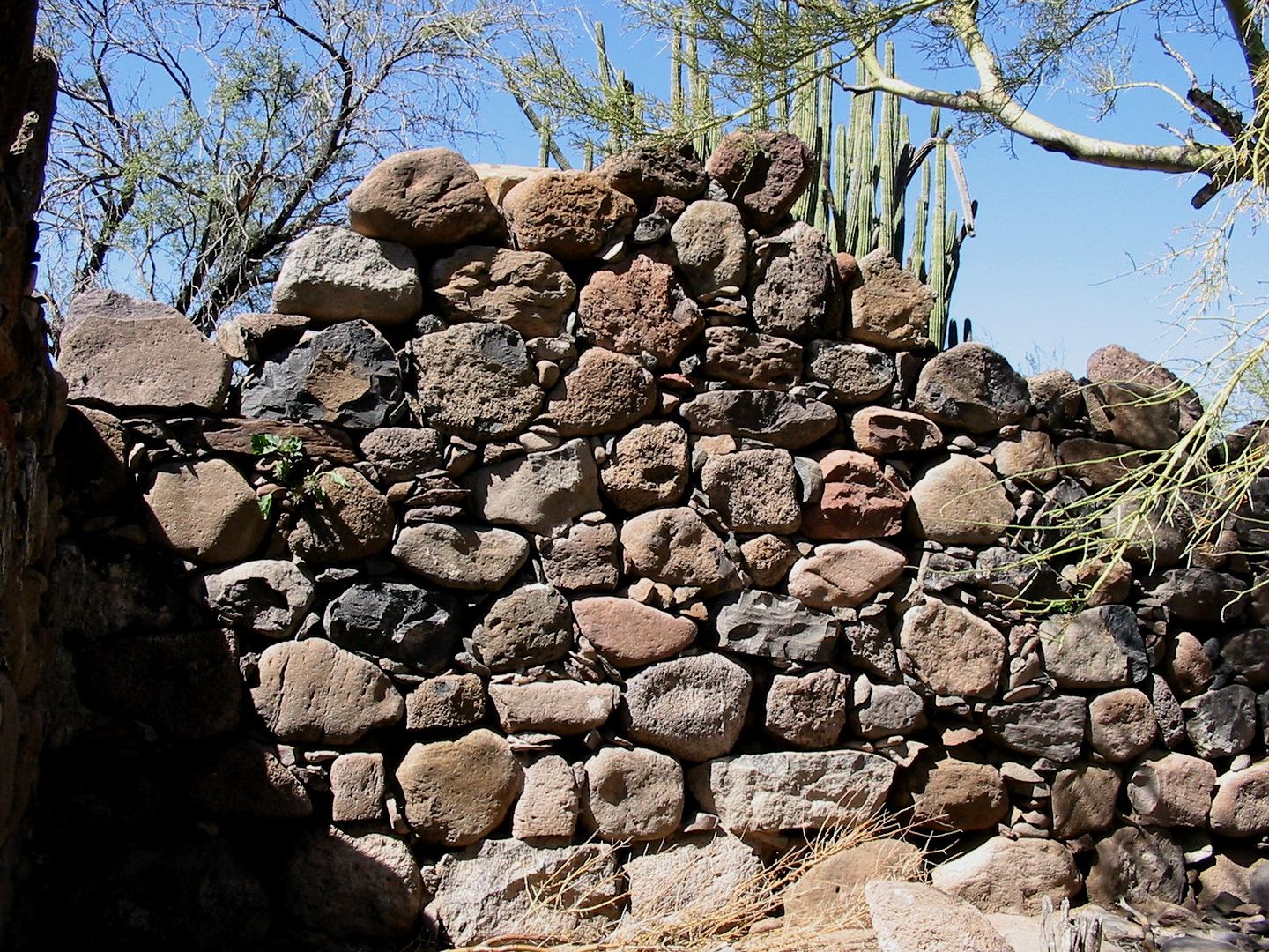
Eureka! Lat: N 26°16.4535' Lon: W 111°43.1372'
Inside floor area.
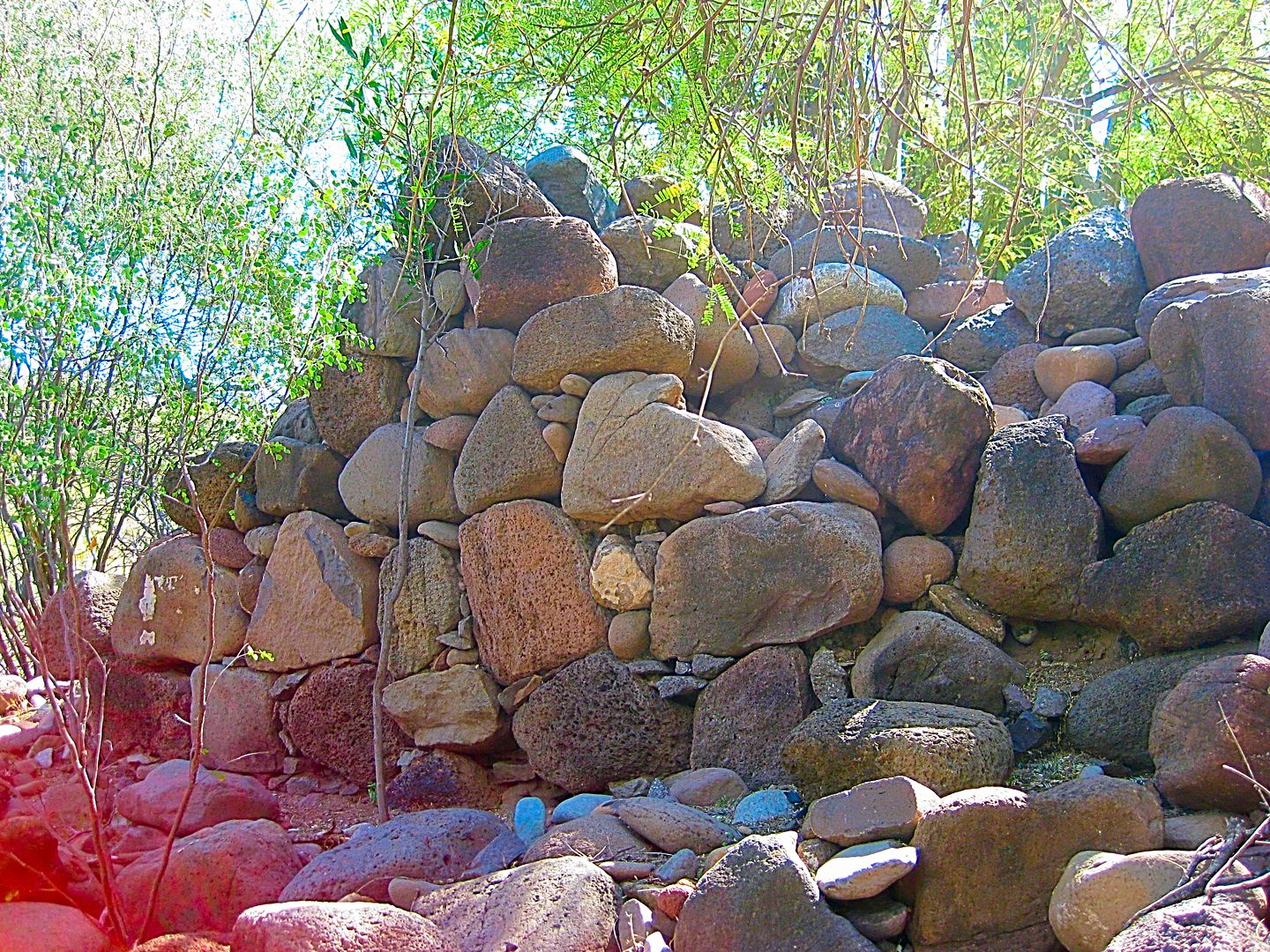
It was very hard to get good photos as the brush was so thick. I even crawled on my hands and knees to get this close, getting a cholla spine in my
knee and back!
This sort of thing has to be big to you to go through this. To me, to see something that dates back to 1708-1736, in the center of Baja, has got to be
appreciated before it vanishes.
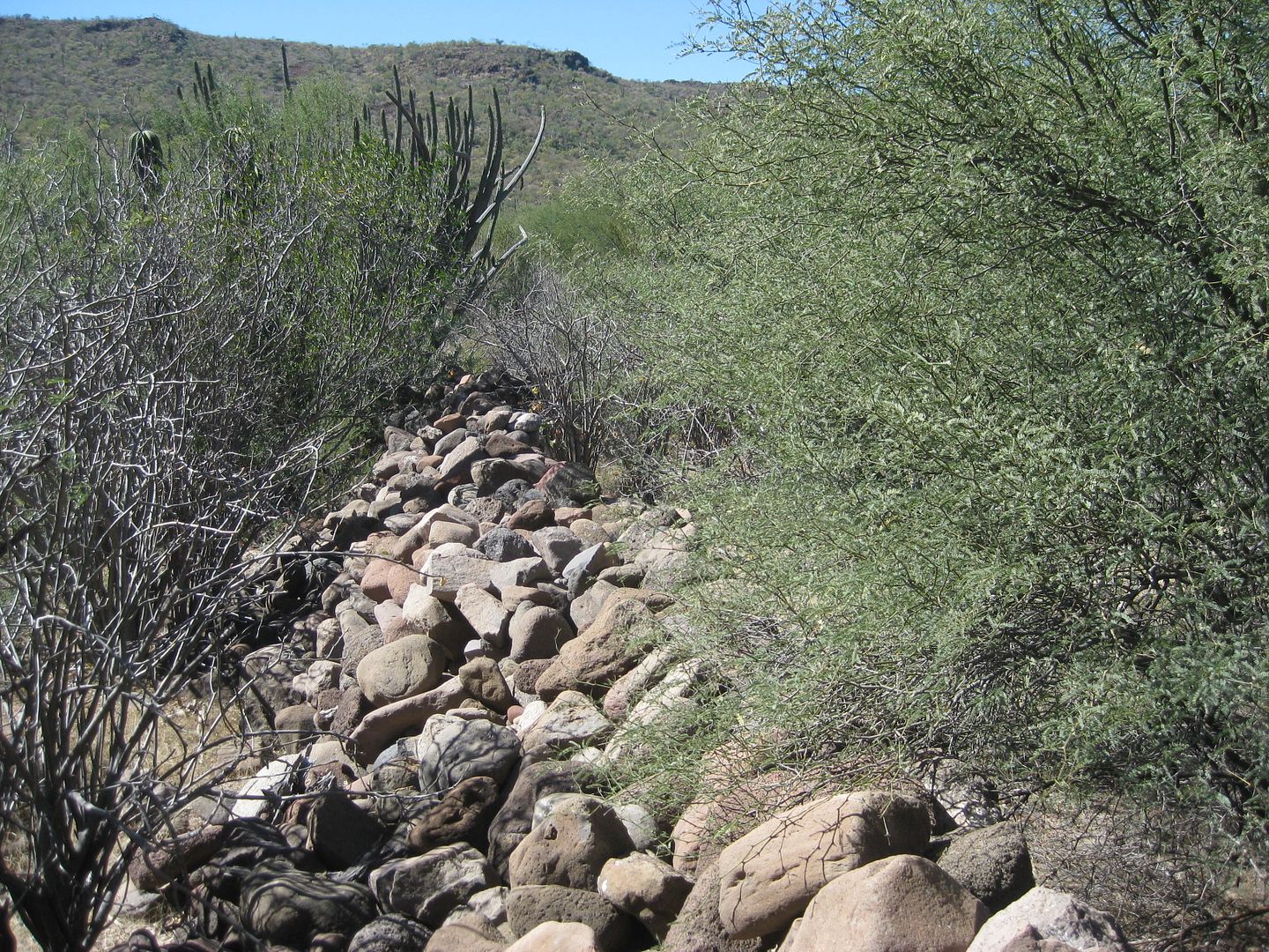
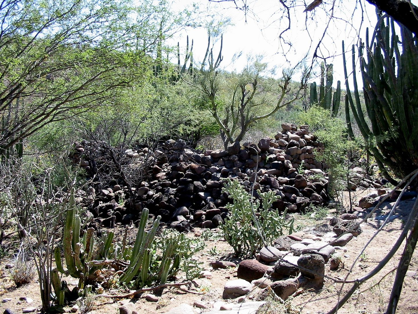
Popping out from the mission site, I came to the old road. These rock piles were there... A good marker. Go east from here and slightly north to see
the ruins.
I walked north on the old road, it vanishes by the riverbed... go across to the west side and walk it north to the crossing near my truck parking
spot.
This was the original dirt road to La Paz, my parents and I drove on, in 1966.
Past photos at Comondú Viejo from Jack Swords, about 16 years ago:
From Howard Gulick, 1956:
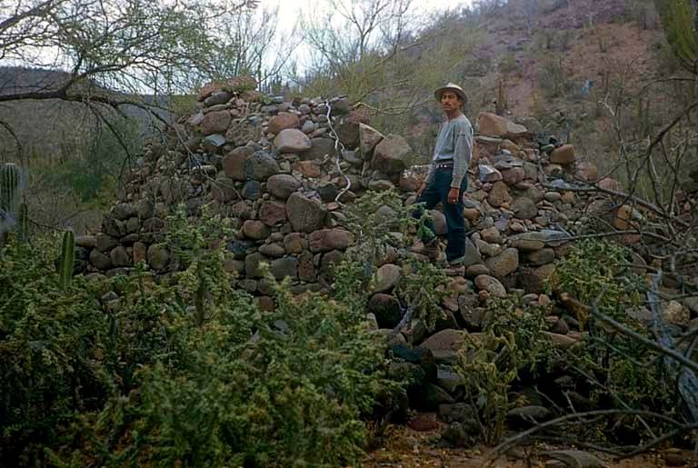
Baja is a time machine!
[Edited on 2-21-2017 by David K]
|
|
|
Mexitron
Ultra Nomad
Posts: 3397
Registered: 9-21-2003
Location: Fort Worth, Texas
Member Is Offline
Mood: Happy!
|
|
Great trip report!
|
|
|
David K
Honored Nomad
Posts: 64480
Registered: 8-30-2002
Location: San Diego County
Member Is Offline
Mood: Have Baja Fever
|
|
Thank you. Baja is great because it has so many features that appeal to us. Beaches, off roading, historic sites, photography, people, and food, etc.
|
|
|
4x4abc
Ultra Nomad
Posts: 4163
Registered: 4-24-2009
Location: La Paz, BCS
Member Is Offline
Mood: happy - always
|
|
David,
do you have a corresponding 1966 AAA map showing the old road?
I particularly wonder if the road in 1966 went through El Rosarito (km 62)
Harald Pietschmann
|
|
|
4x4abc
Ultra Nomad
Posts: 4163
Registered: 4-24-2009
Location: La Paz, BCS
Member Is Offline
Mood: happy - always
|
|
OK, found the Gulick map
old road went through El Rosarito
that opens the question:
when was the road through Cadeje to Las Bebelamas used?
Harald Pietschmann
|
|
|
wessongroup
Platinum Nomad
Posts: 21152
Registered: 8-9-2009
Location: Mission Viejo
Member Is Offline
Mood: Suicide Hot line ... please hold
|
|
Thanks for the ride ... nice trip 
|
|
|
David K
Honored Nomad
Posts: 64480
Registered: 8-30-2002
Location: San Diego County
Member Is Offline
Mood: Have Baja Fever
|
|
De nada... still 3 more days to go!
|
|
|
David K
Honored Nomad
Posts: 64480
Registered: 8-30-2002
Location: San Diego County
Member Is Offline
Mood: Have Baja Fever
|
|
Quote: Originally posted by 4x4abc  | OK, found the Gulick map
old road went through El Rosarito
that opens the question:
when was the road through Cadeje to Las Bebelamas used? |
The shortcut from (near) Cadeje south was reported to my dad in 1966 by Howard Gulick himself. The shortcut later appeared in Howard's 1967 Fourth
Edition as an update note, on page 12 for Page 152 in the guide.
We used that shortcut in 1966.
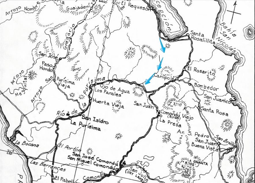
Blue arrows show shortcut.
[Edited on 2-21-2017 by David K]
|
|
|
David K
Honored Nomad
Posts: 64480
Registered: 8-30-2002
Location: San Diego County
Member Is Offline
Mood: Have Baja Fever
|
|
DAY 8: Mon. Feb. 6, 2017 La Perla to San Borja
Said my goodbyes to the three Canadian camping families, packed up the camping gear (mainly the air mattress and tent), and left at 9:30.
El Burro
Cocos
Got gas at the south Mulegé Pemex. What should have been about 12 gallons to fill somehow read 14 gallons (converted from liters)! So, I paid over $6
extra... maybe with the added cash, the owner can get his pumps recalibrated??? LOL!!!
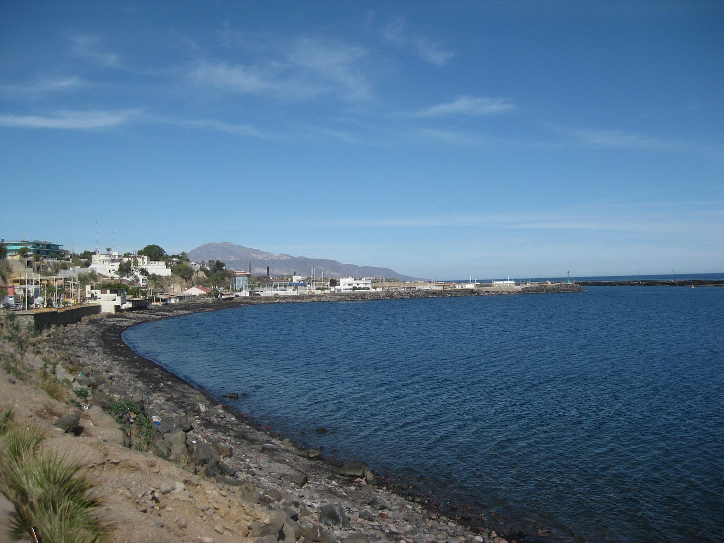
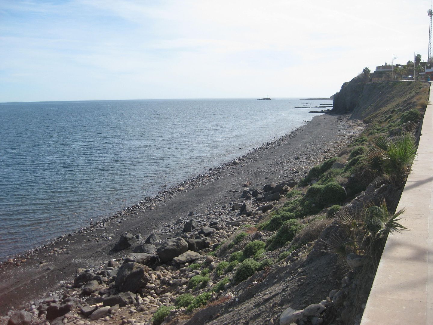
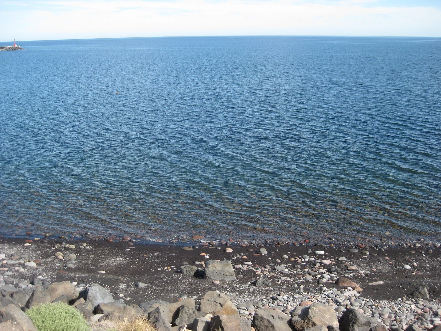
Coming into Santa Rosalia with the black sand beach and old harbor.
Had lunch in San Ignacio at the taco stand across from the Pemex station. Last September, the Baja Extreme tour group stopped here and we had some
great quesatacos, so I had two of those and I was full! Left at 12:18pm.
The dreaded San Ignacio military inspection was next, and sure enough, they had only one lane open and were making everyone ahead of me get out
(apparently Mexicans only today) as when I finally got to the soldier, it was just some questions. None of that picking something off my floor mat and
lighting it with a cigarette lighter to claim it was marijuana (as had happened in July 2015 here). [I made sure my floor mat was shaken out when I
left camp]
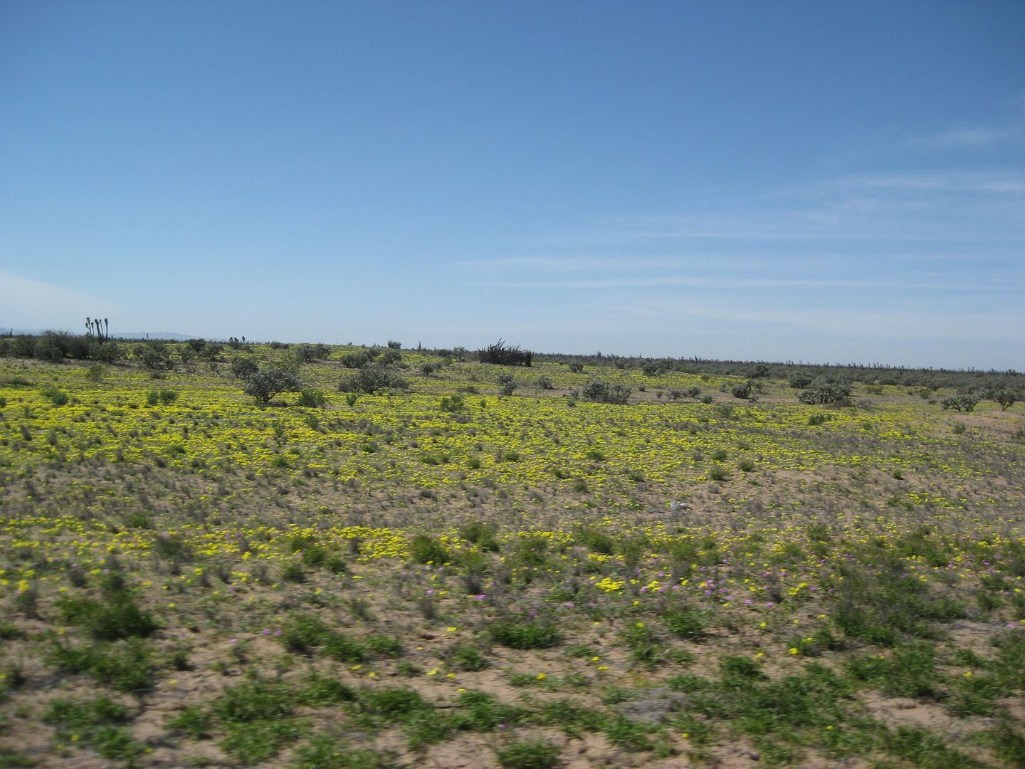
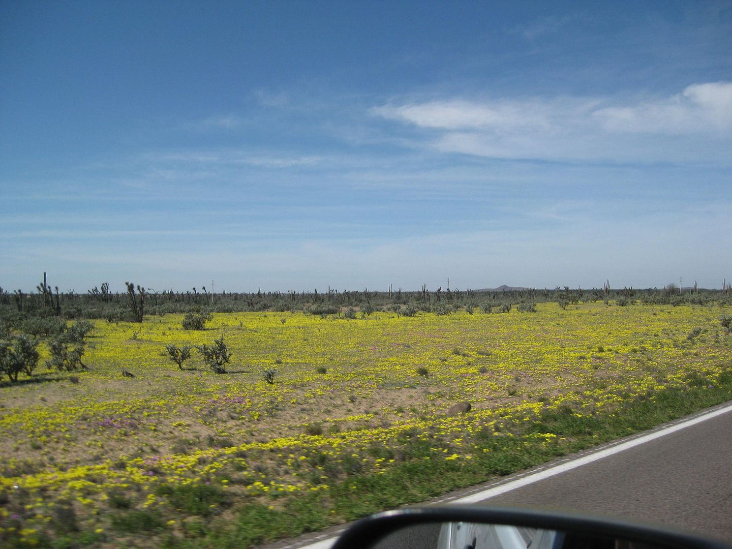
The Vizcaíno Desert was brilliant with flowers!
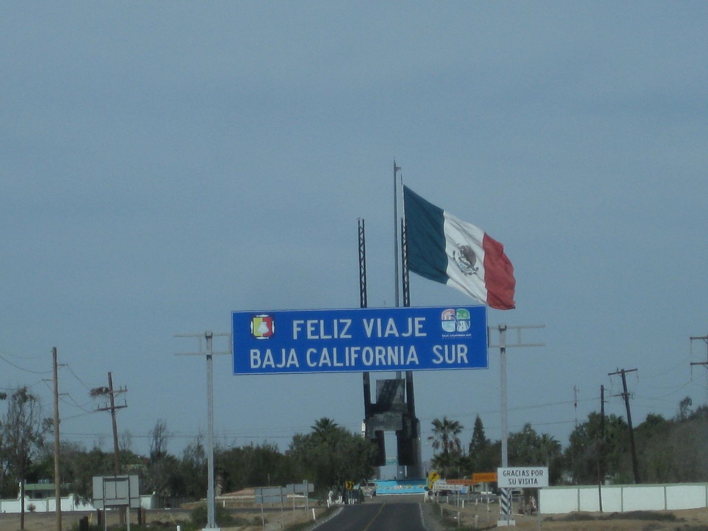
The state border, and a return to Pacific Standard Time... I get my lost hour back! 2:07pm becomes 1:07pm.
You know technically, the Pemex station at the Eagle Monument is in the northern state of Baja California. Yet, it (we are told) gets fuel from La Paz
depot, which means no Ultra Low Sulfur Diesel, yet. The only station in Baja California state to not have ULSD. I suppose the logistics being the
other Pemex stations are just 2-4 miles away in Guerrero Negro so the same fuel truck takes care of them all.
I am gasoline powered and using 87 octane Magna works great in my 4.0 liter V-6 Tacoma. I fill up at Jesus María (Km. 95+), which is about 20 miles
north of the border/ Eagle Monument. 1:26pm
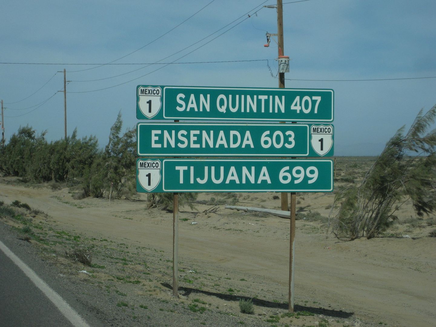
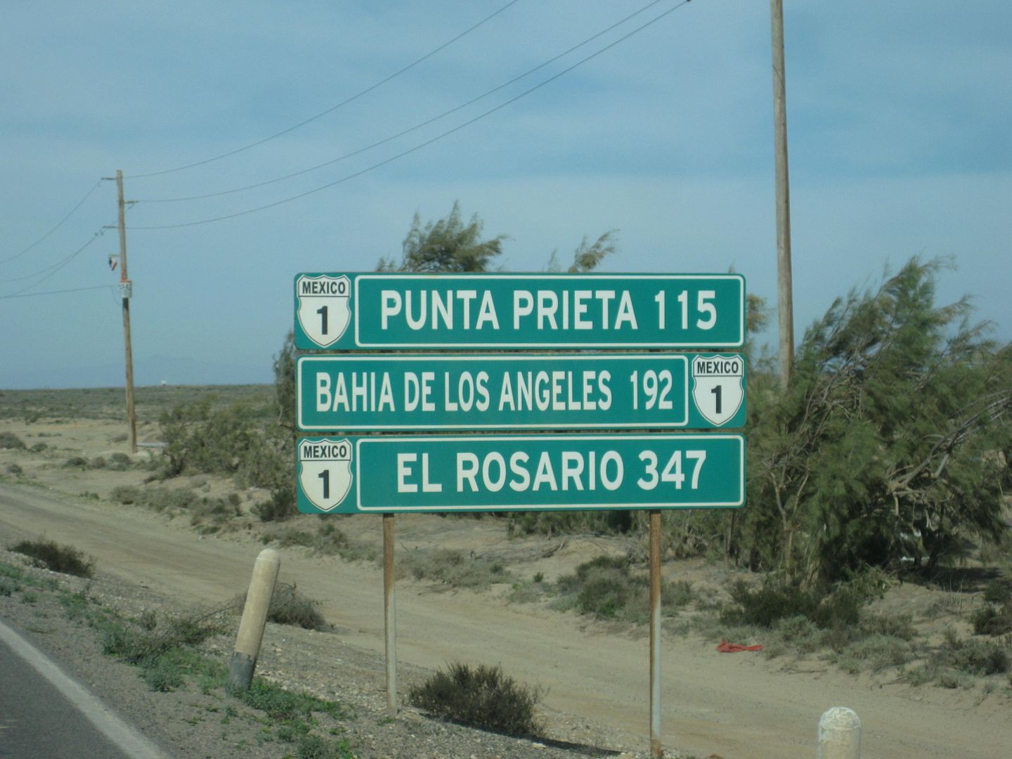
The military checkpoint at El Tomatal junction is at Km. 69, 1:58pm.
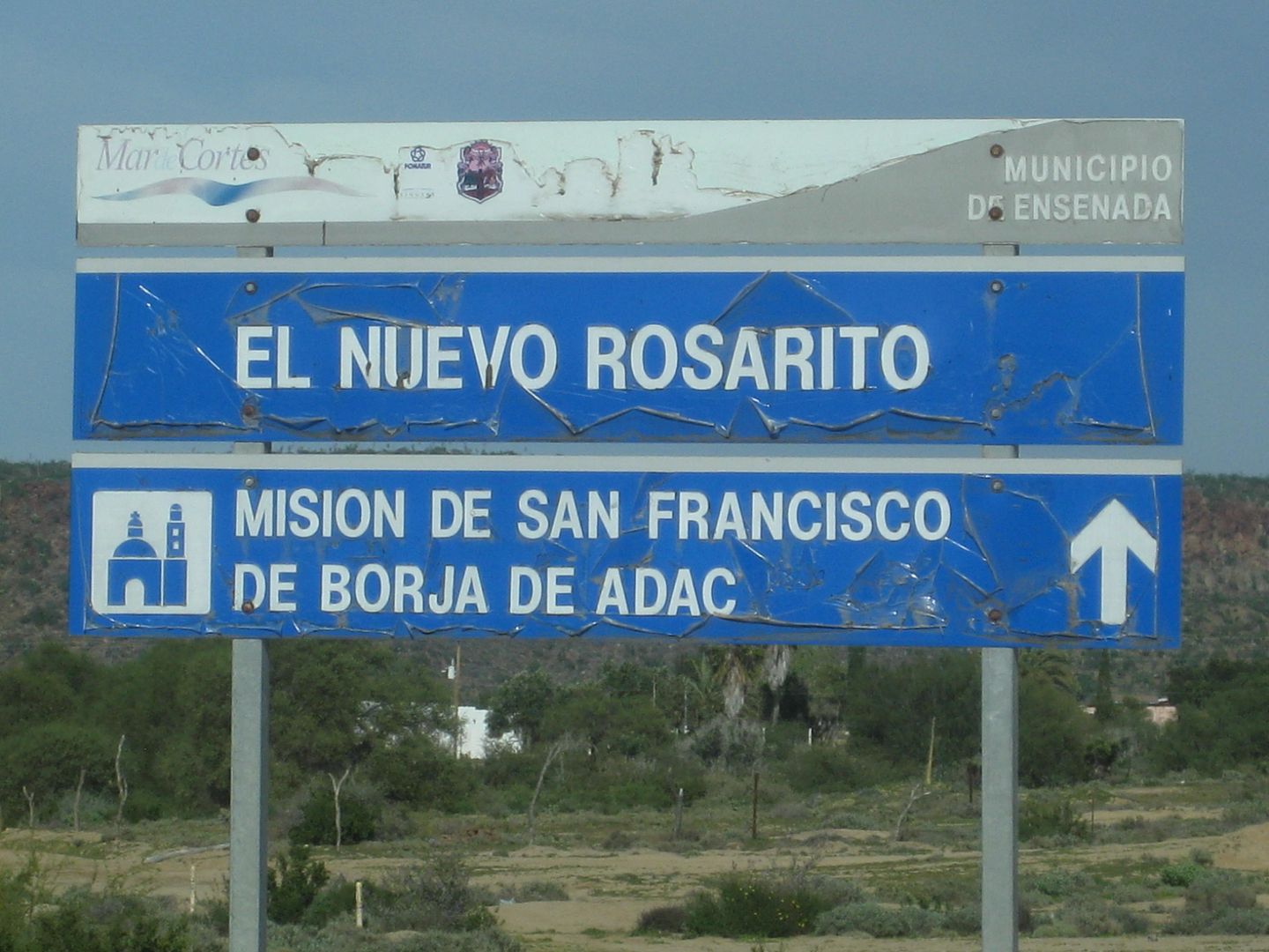
As one enters Nuevo Rosarito (Nuevo seems to have been added to the original name so as to not get this piece of heaven confused with Rosarito Beach,
near Tijuana? Oh, I like this one better!) There is a sign pointing out the way to Mission San Borja...
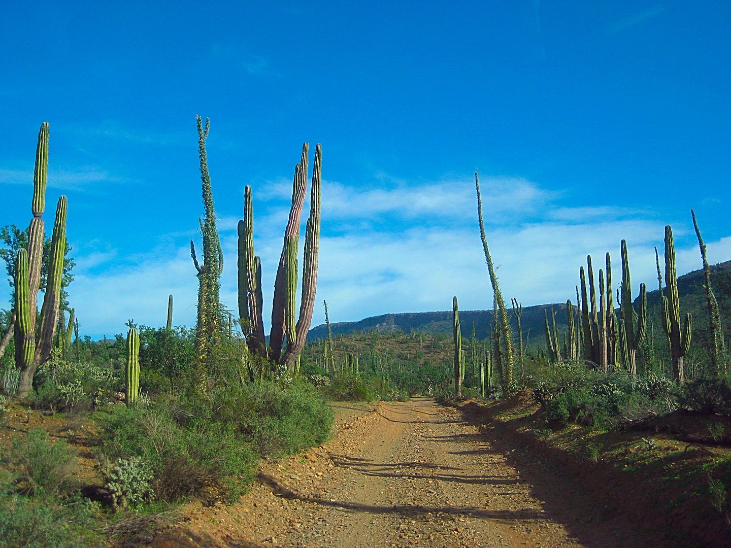
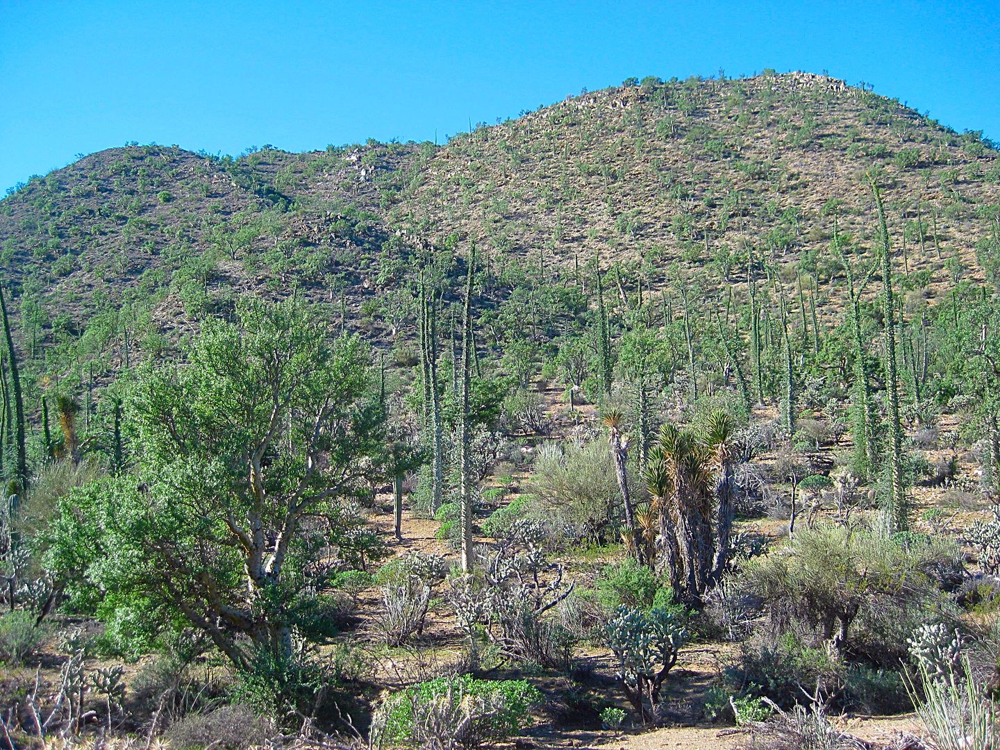
It is 22 miles to the mission through beautiful Baja desert country. This road is rougher than the north road and I wouldn't suggest large campers or
motorhomes think of using it. Again, a case where the weather has done a number on it the past couple of years. Some trees and bushes are growing into
the roadway, too.
I arrive at San Borja to find I am the only outsider there to stay in José's great palapas... Where are all the Canadians?
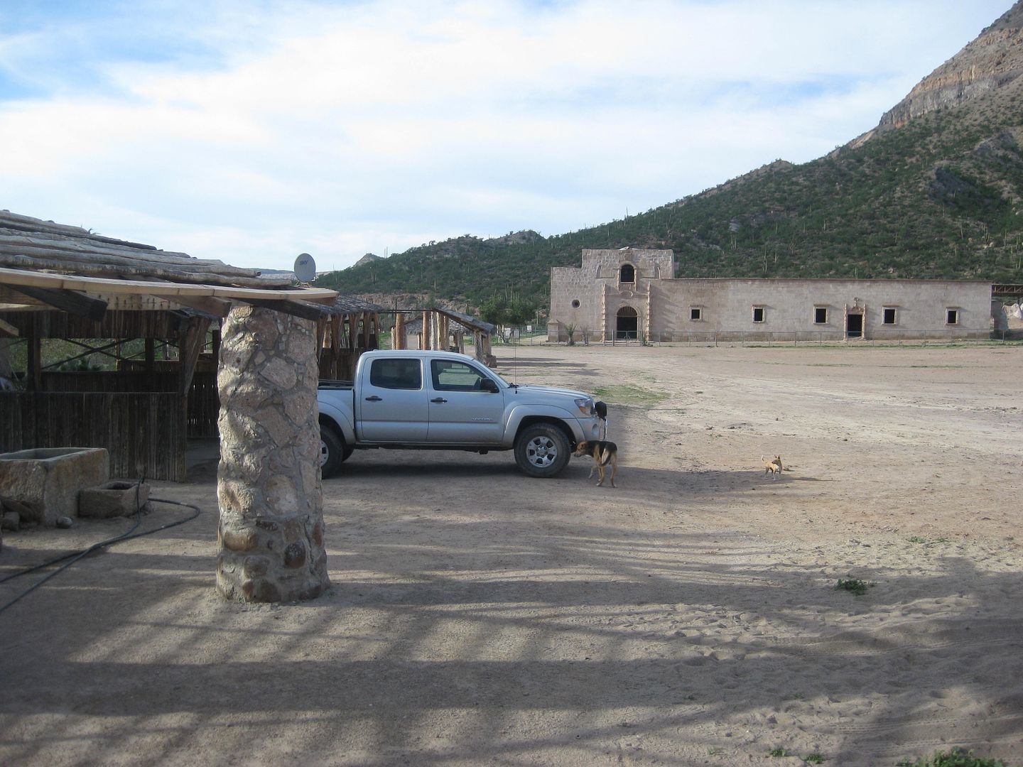
I arrive at 3:25pm and after visiting with José and his brother (who I followed in from Rosarito part way, then he followed me). With his brother's
help, they hope to continue to expand their guest services, maybe even a restaurant with satellite TV! 
Camping is 150 pesos (=$7.50) and includes flush toilets (2) and showers (5). José will light a fire under the water heater if you want a hot water
shower.
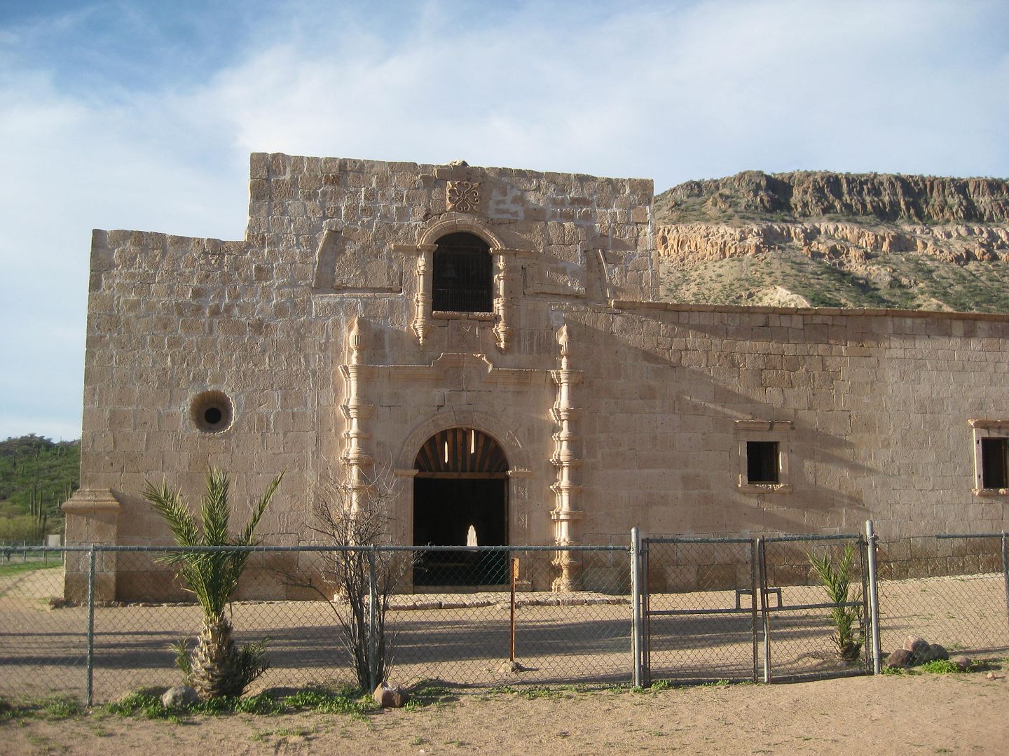
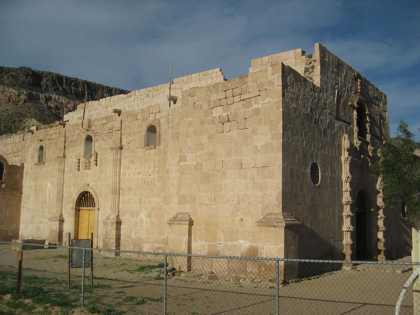
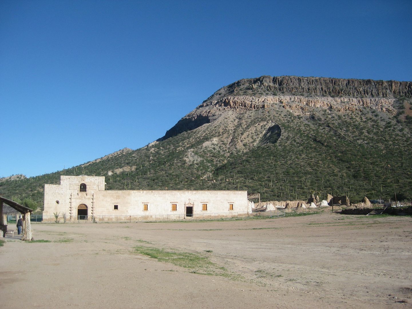
The mission here (founded in 1762) is the furthest north stone church on the peninsula, replacing the adobe churches built by the Franciscans and
Jesuits before them. The stone church construction lasted to 1801. The spiral stairway to the roof never got a bell tower, as planned. The Indian
die-off from a high of 1,700 here (and more living at various visitas) to just 400 neophytes, spelled an end to the vigorous dreams of a Spanish
colony here. By 1816, no more reports came from San Borja as the last resident priest left.
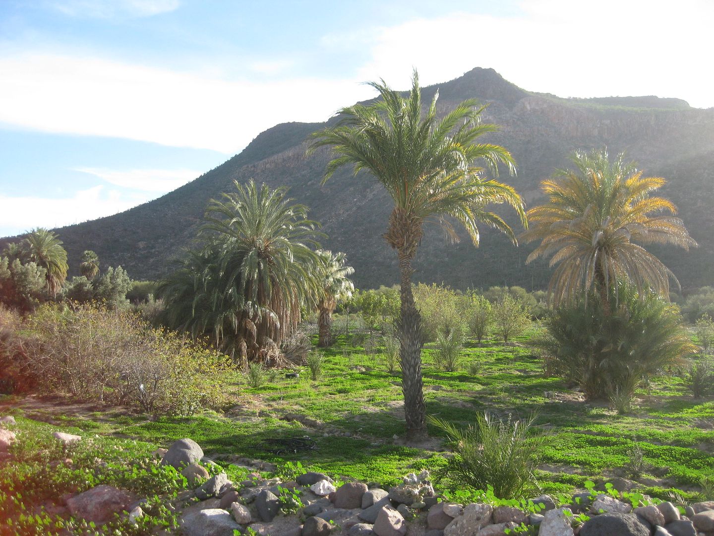
I take a quiet walk around the mission complex, visiting the graveyard and the cool water spring to the east. A warm water sulfur spring is in the
orchard, south of the palapas. That water cools and the sulfur odor vanishes (so the books say), so all can drink from it when the other spring dries
up in the summer.
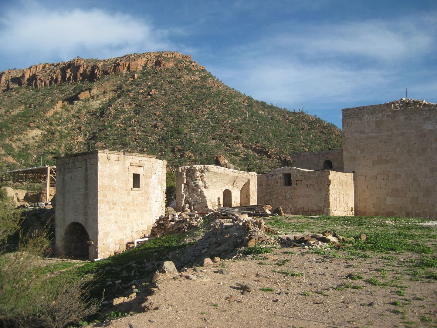
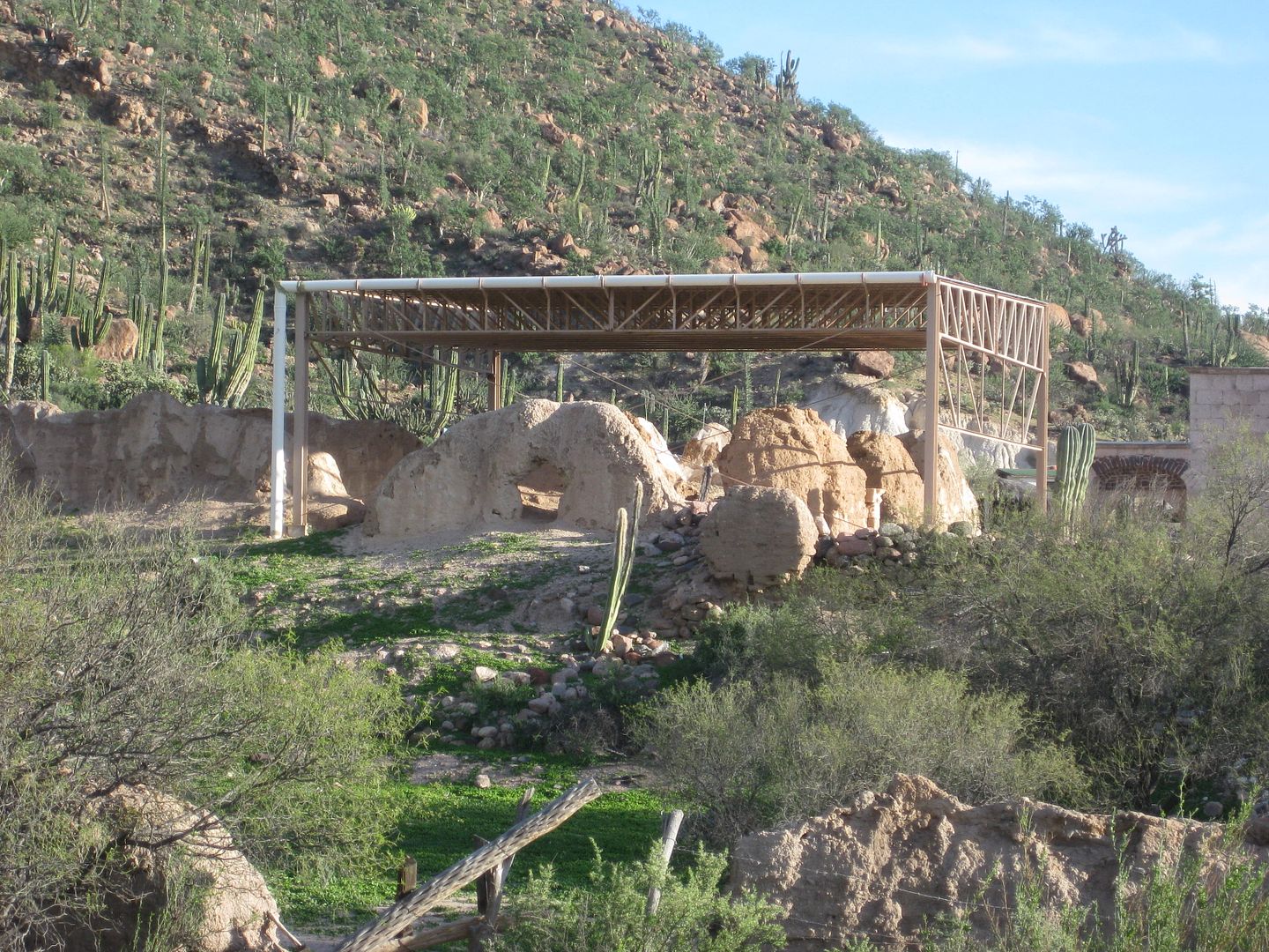
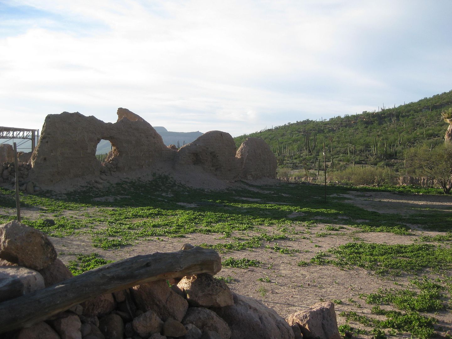
That steel awning was constructed 17 years ago to protect the adobe ruins, behind the stone church.
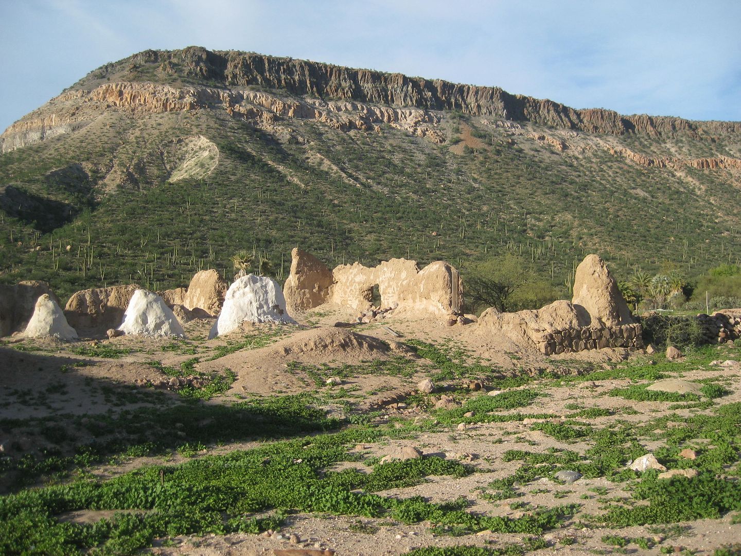
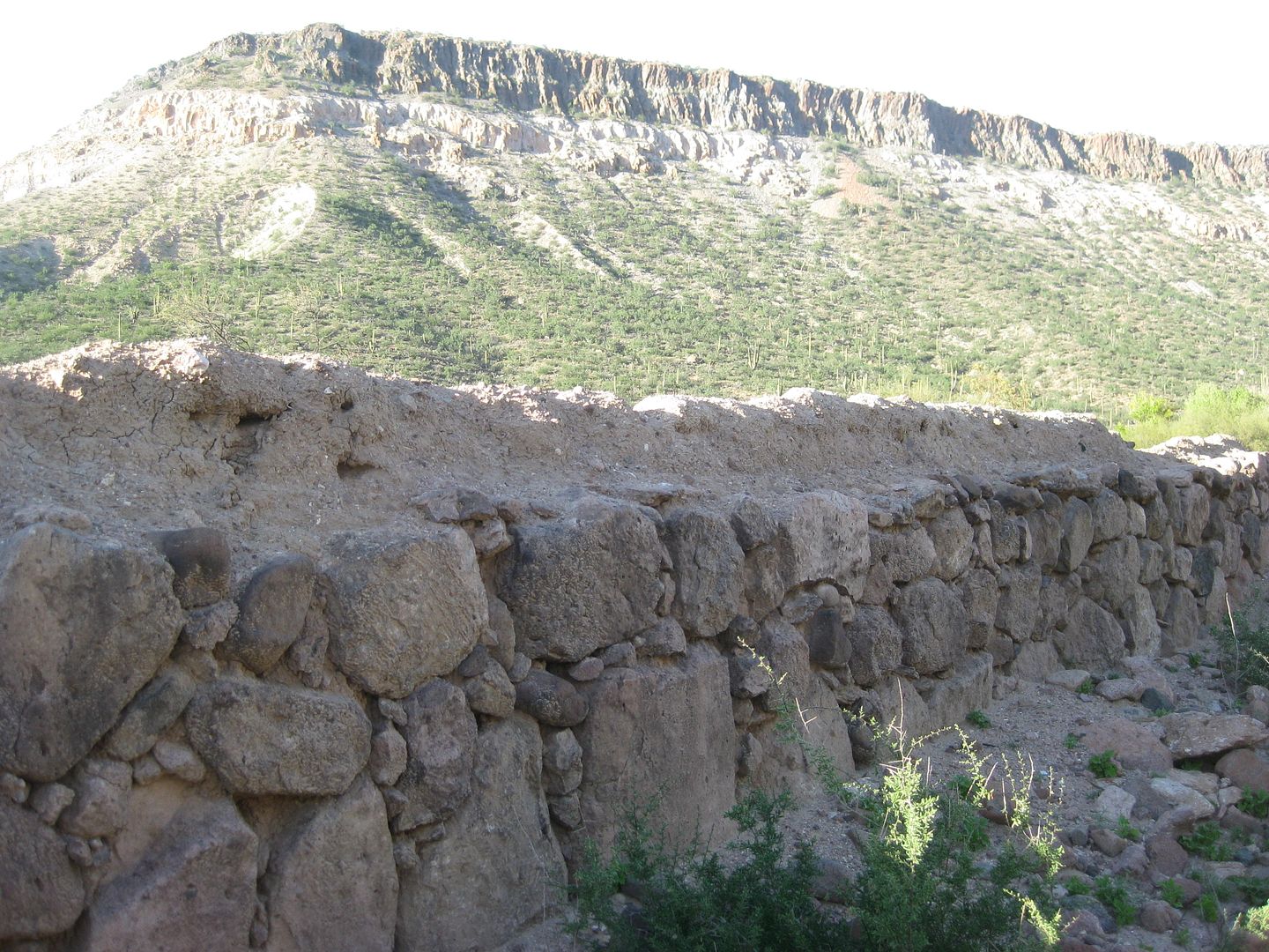
Some of the ruins not covered have a plaster coating to preserve them.
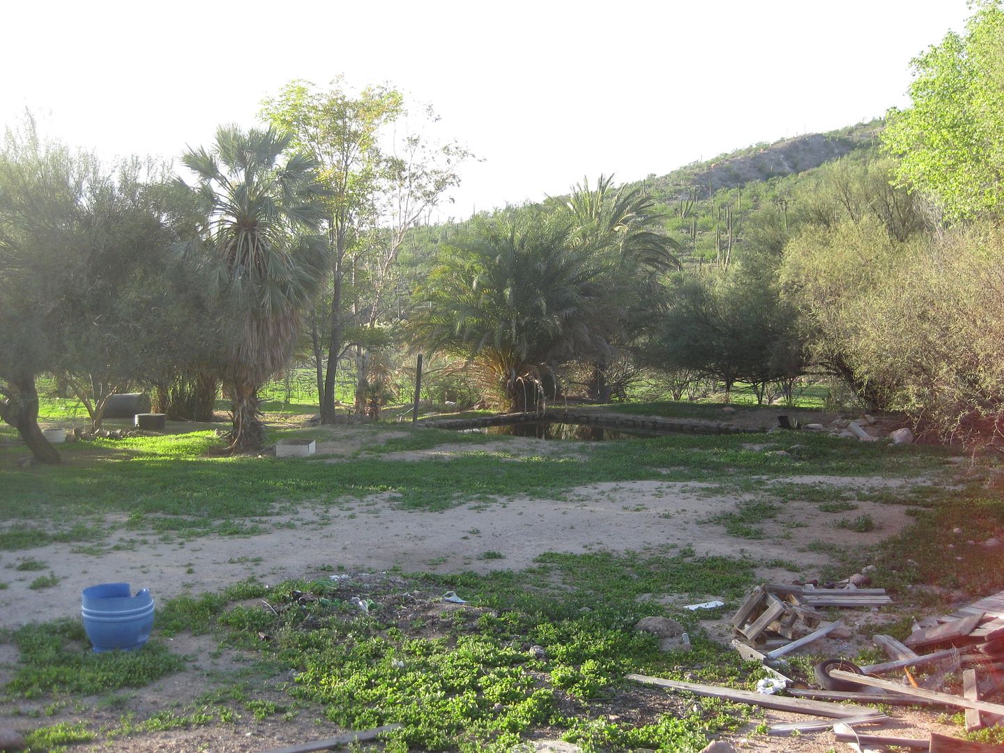
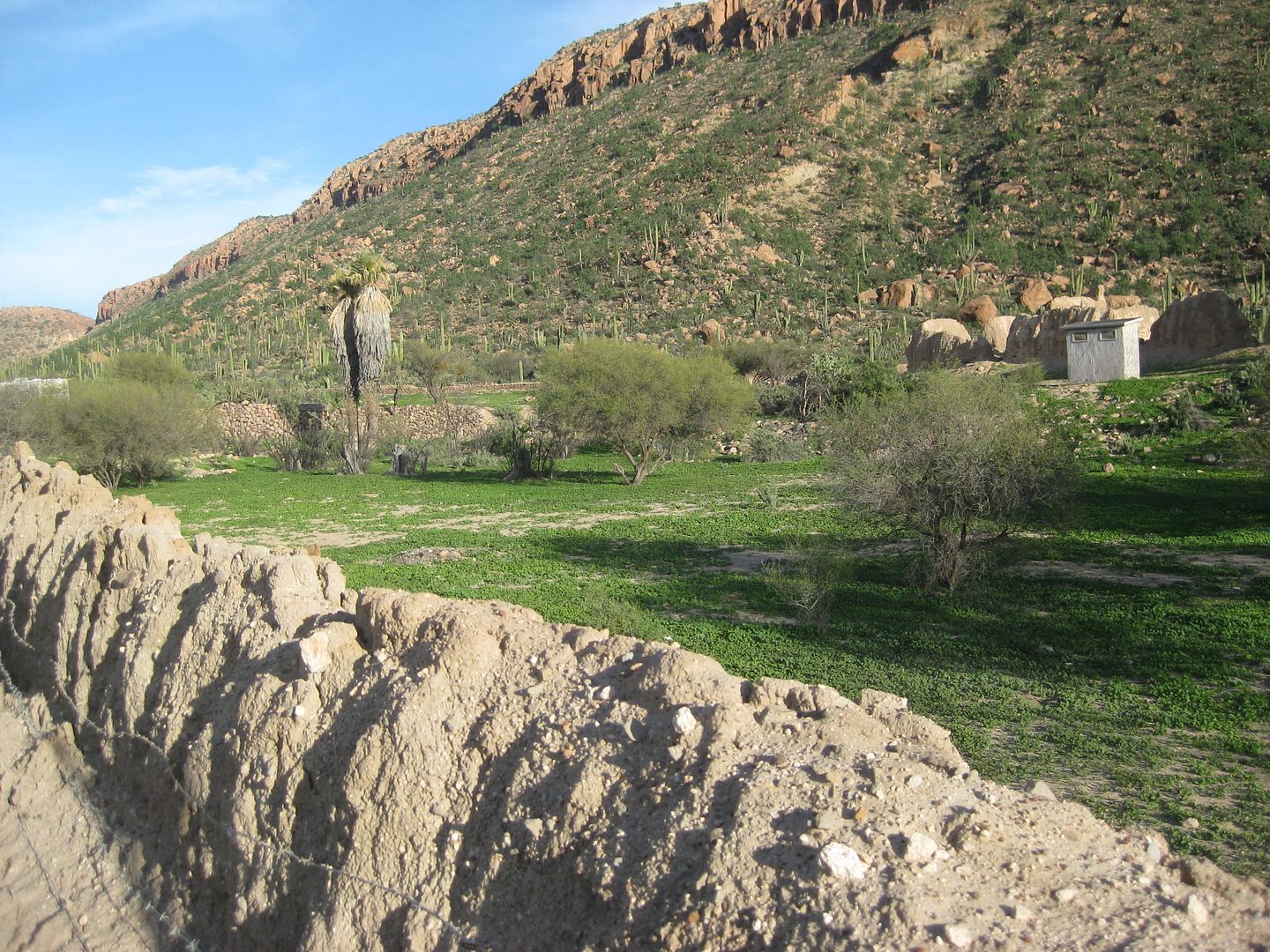
The cool water spring.
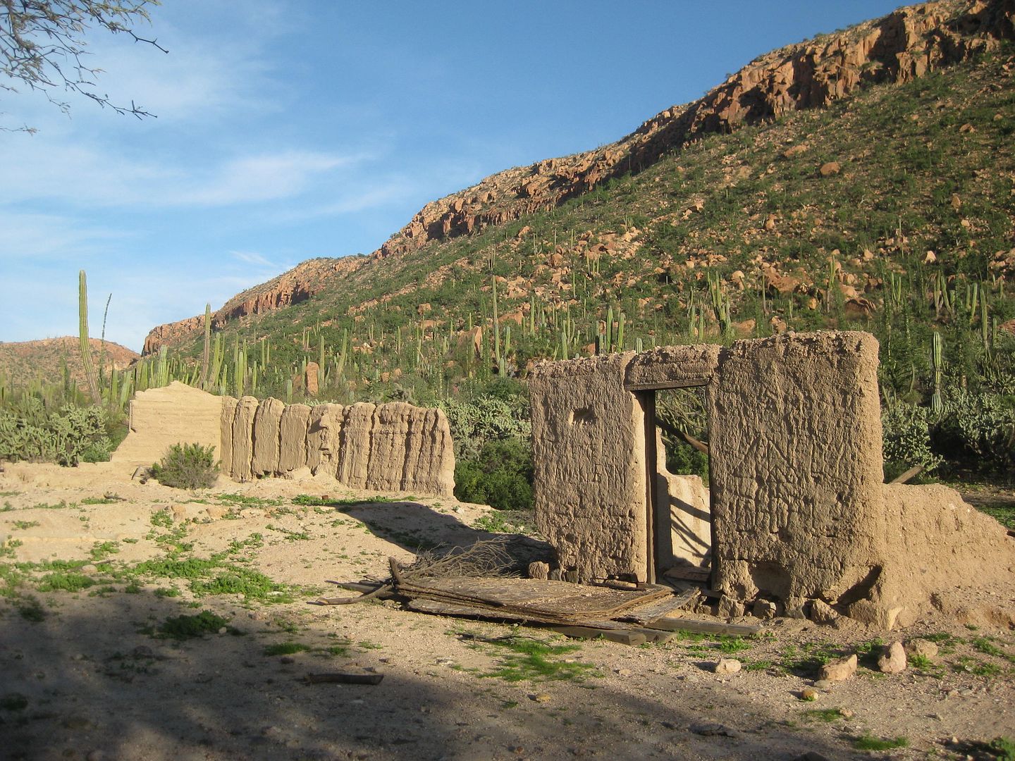
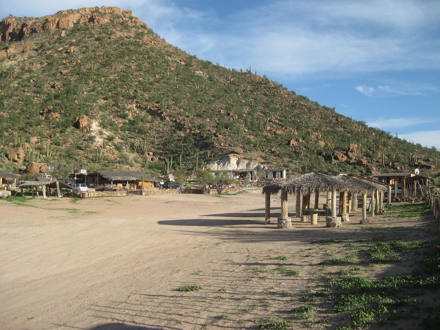
Some of the village that was once here at San Borja.
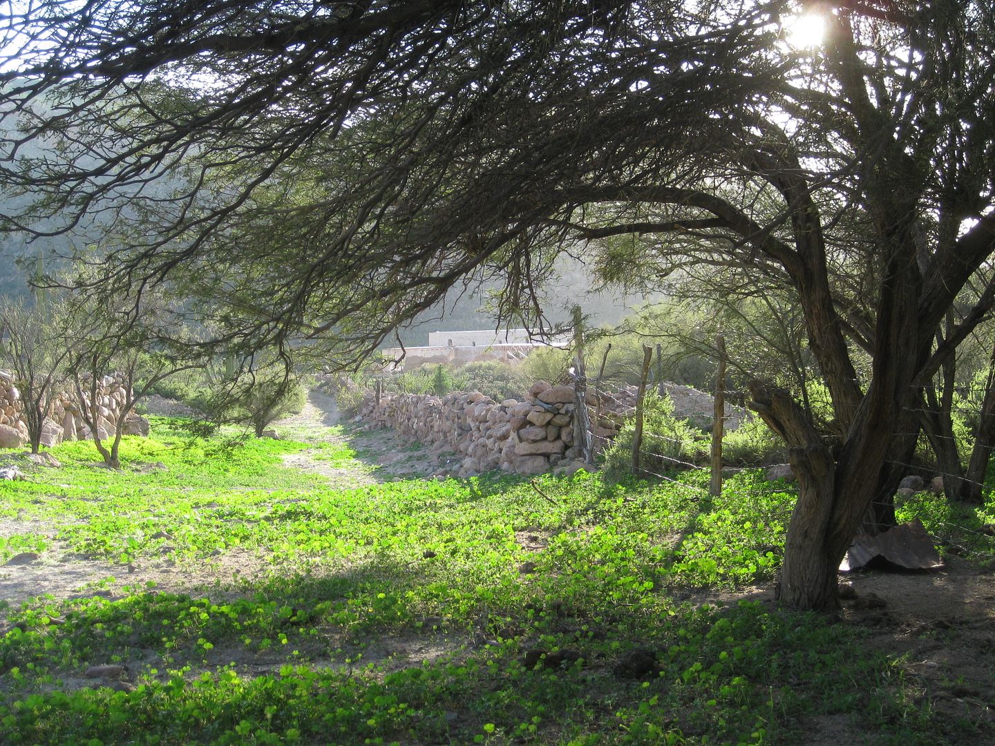
View west back to the mission. This was a nice walk after so many miles driving!
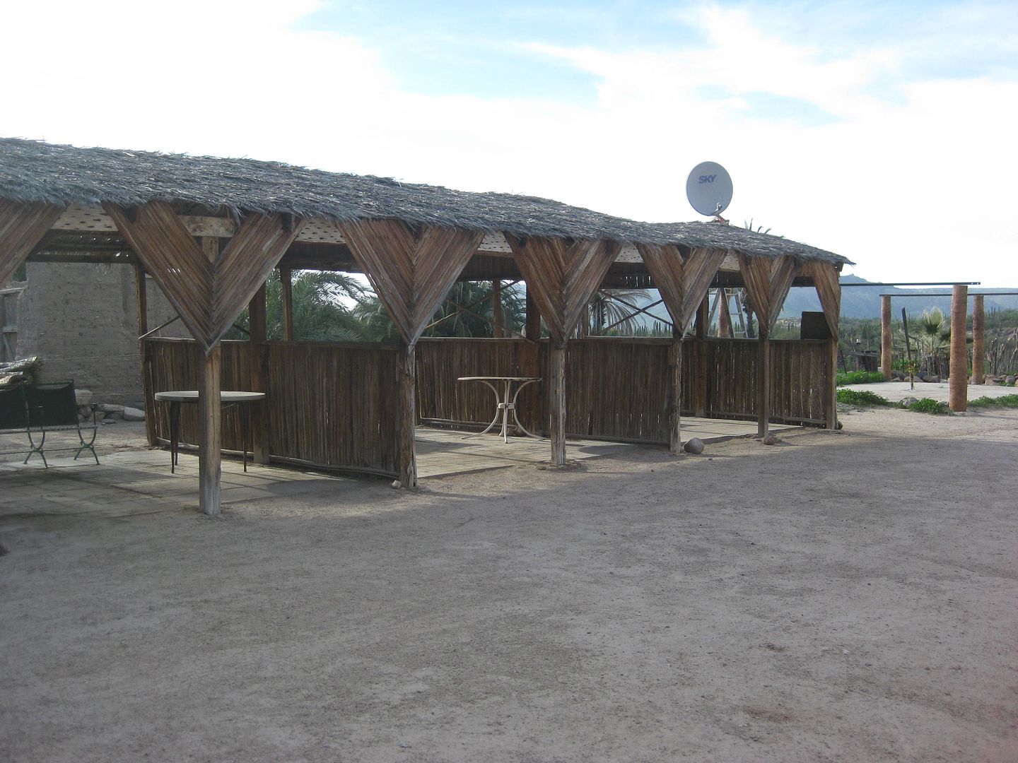
Future restaurant???
I have a nice fire, make dinner, and sleep well!
End of Day 8.
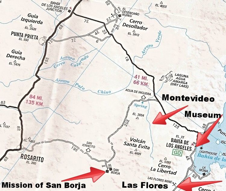
Tomorrow, Montevideo and Bahía de los Angeles!
[Edited on 2-21-2017 by David K]
|
|
|
David K
Honored Nomad
Posts: 64480
Registered: 8-30-2002
Location: San Diego County
Member Is Offline
Mood: Have Baja Fever
|
|
DAY 9: Tue. Feb. 7, 2017 San Borja to Montevideo & L.A. Bay
I am packed up and leave the mission palapas at 8:43 am. The road is bumpy and slow-ish for about 11 miles and then is quite good and even fast for
the next 11 miles. It is by far the better of the two roads to San Borja, in my opinion, but the road from Rosarito allows a drive through option to
not repeat the same road.
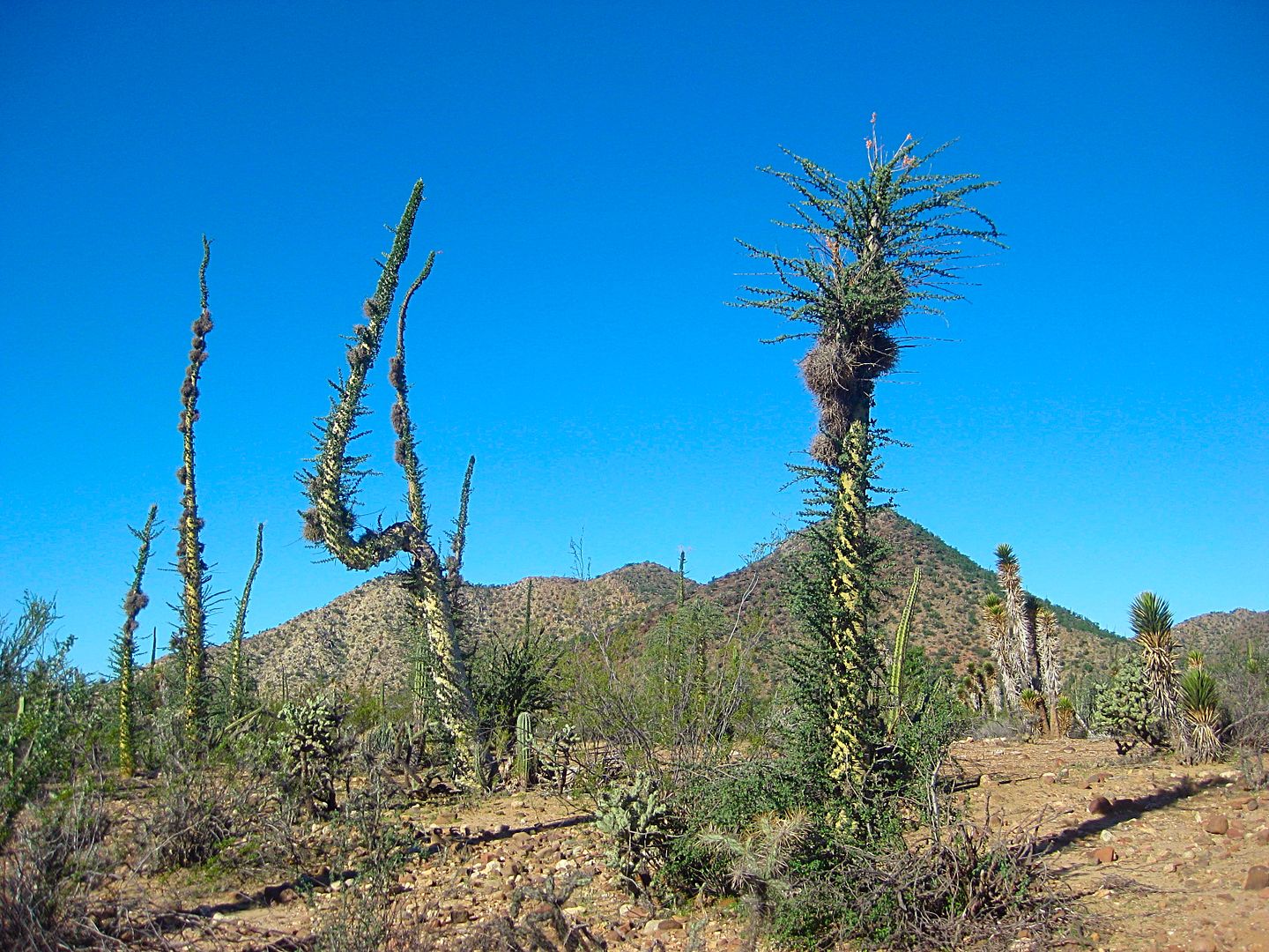
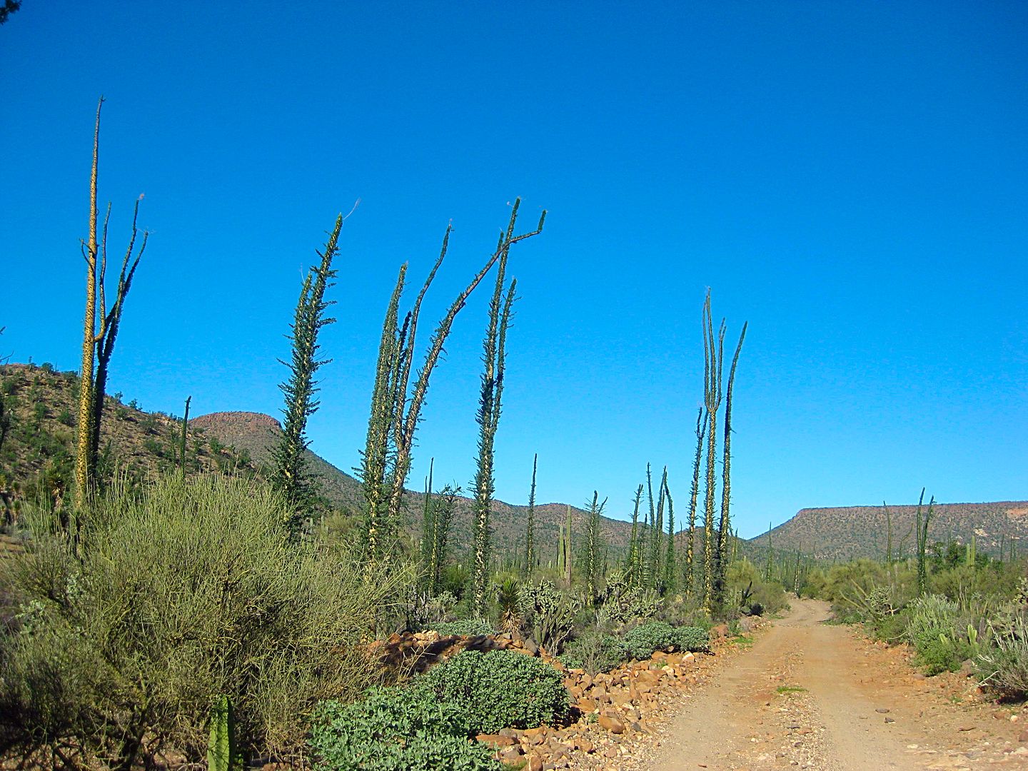
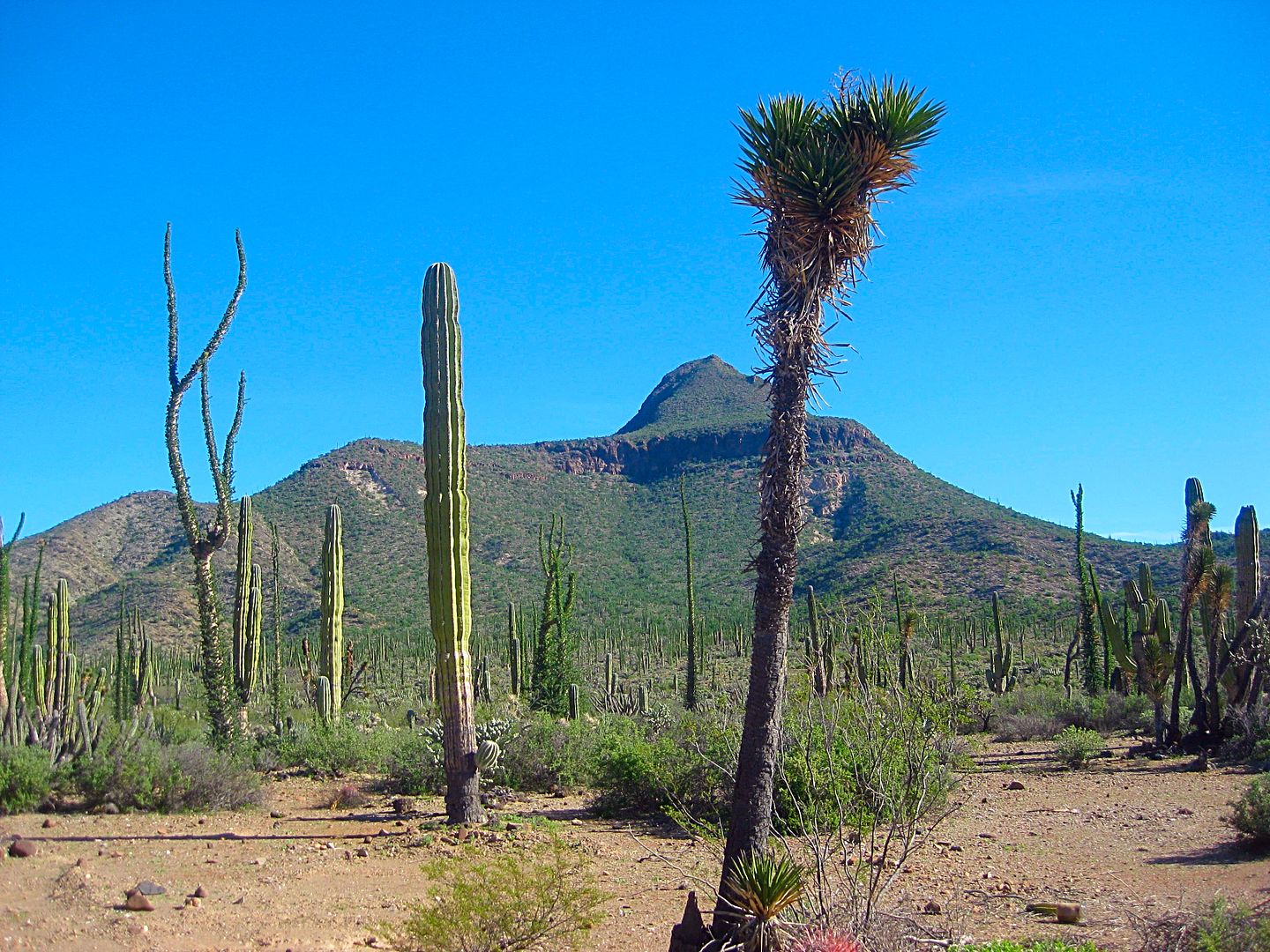
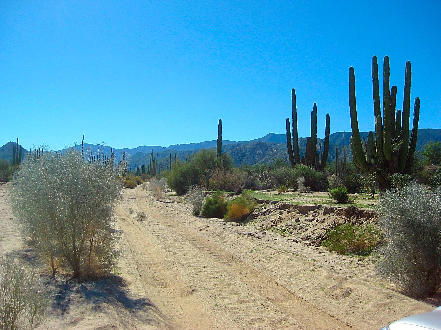
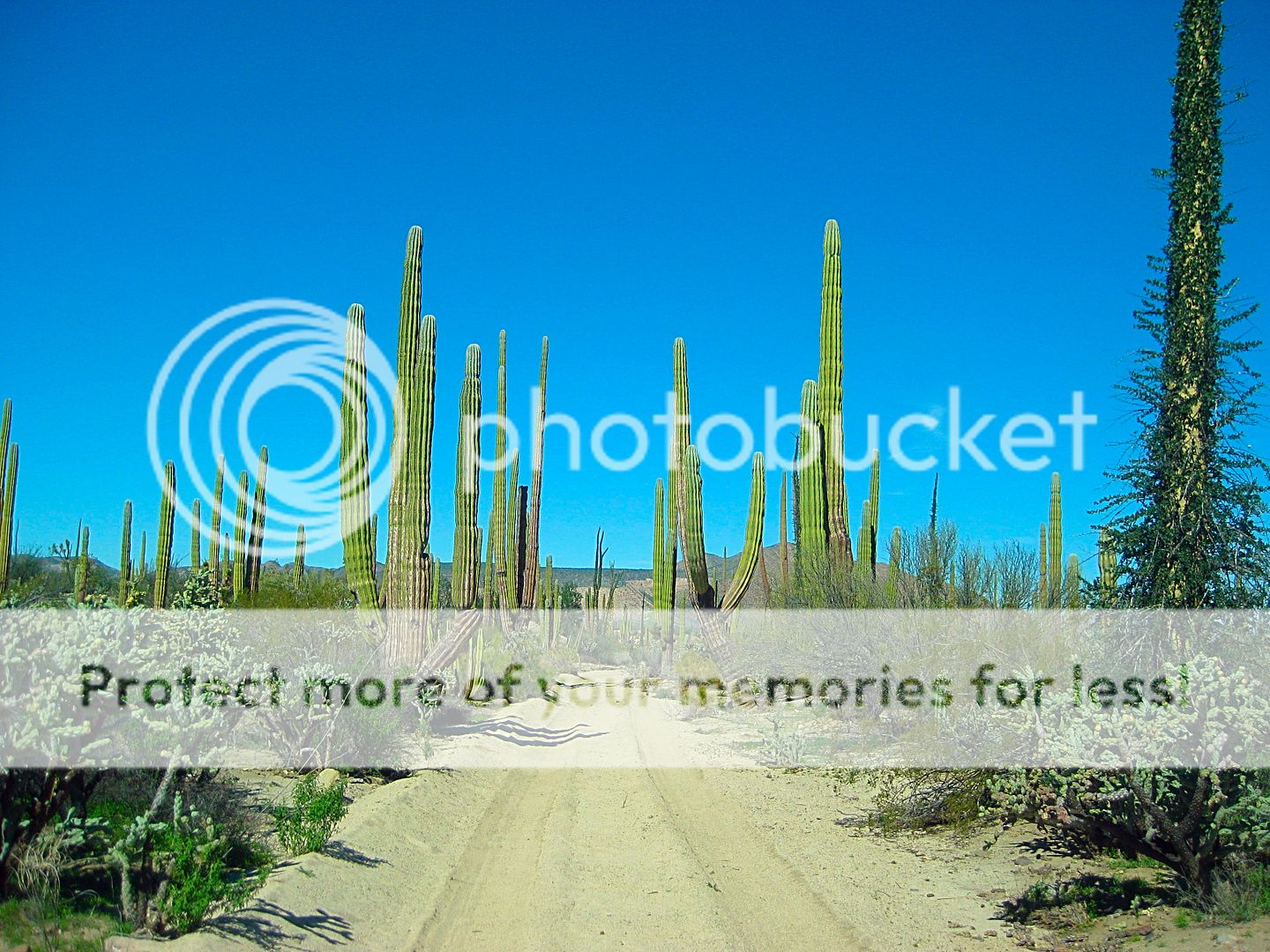
There are some of the finest Baja desert gardens you will see, on this road and the side trip to Montevideo. Enjoy the photos! Go there, if you can!
ROAD LOG:
0.0 San Borja
0.8 Junction: Left to Rosarito, ahead to L.A. Bay.
17.6 Fork, left via Agua de Higuera.
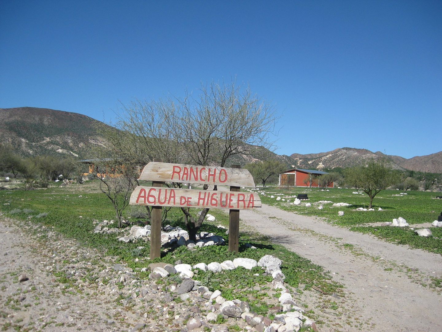
18.2 Agua de Higuera (ranch, sulfur water spring)
18.5 Junction with road from 17.6.
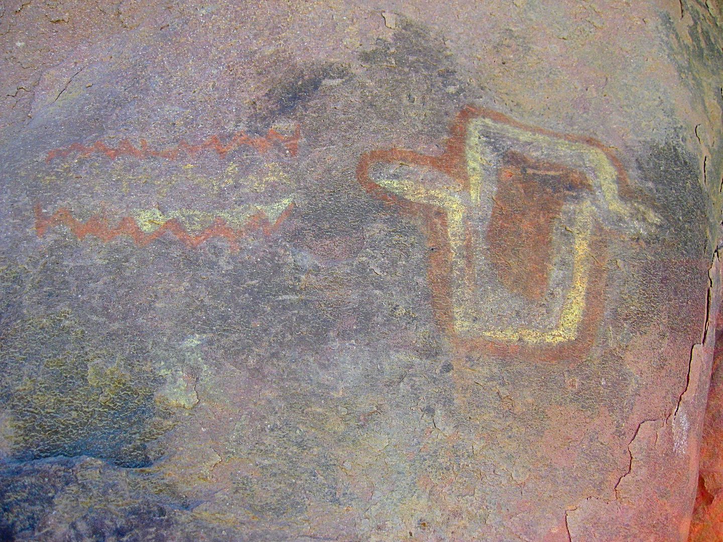
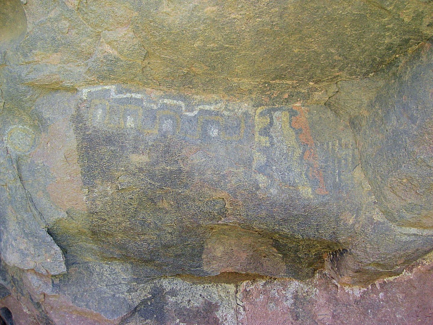
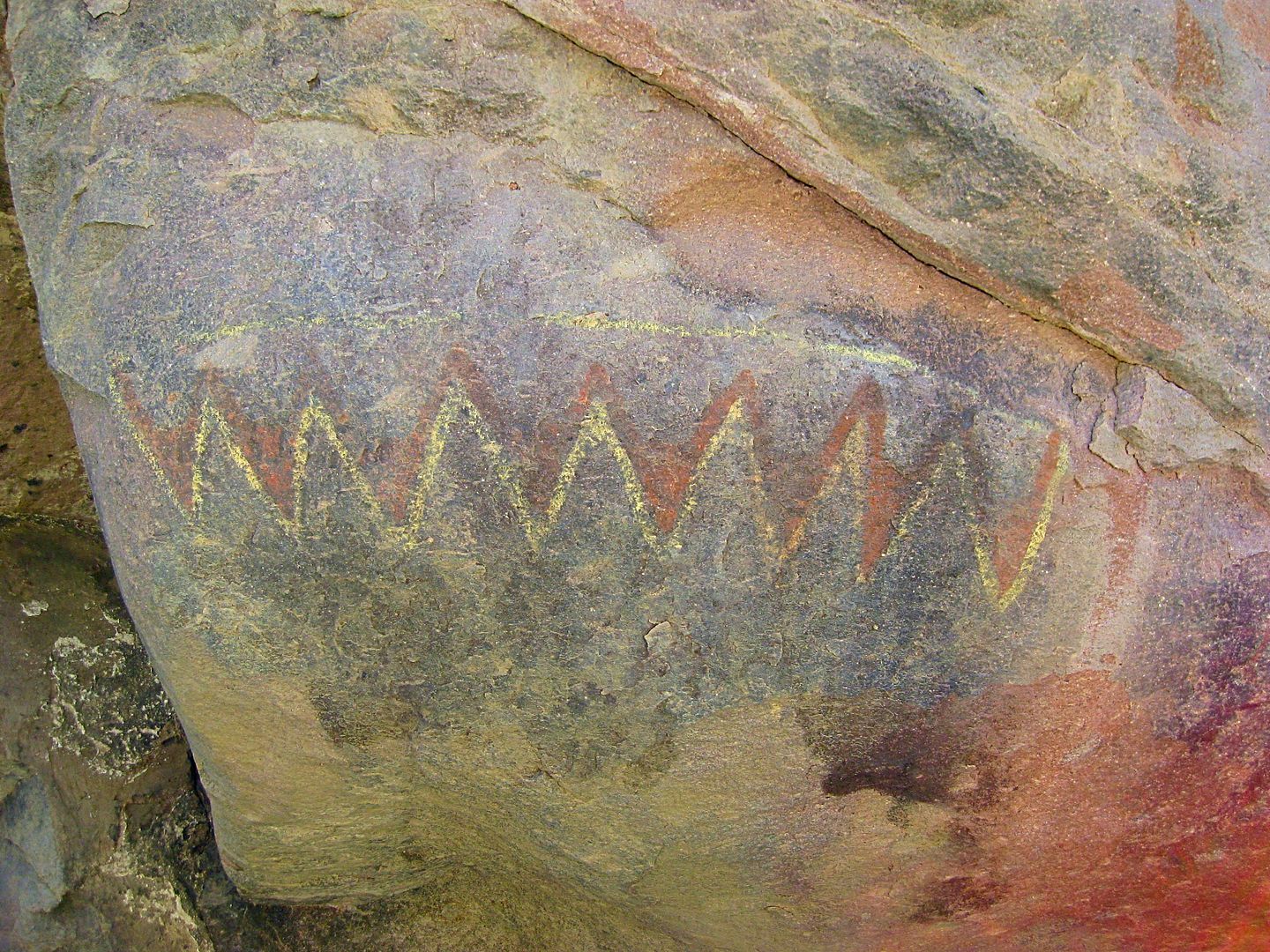
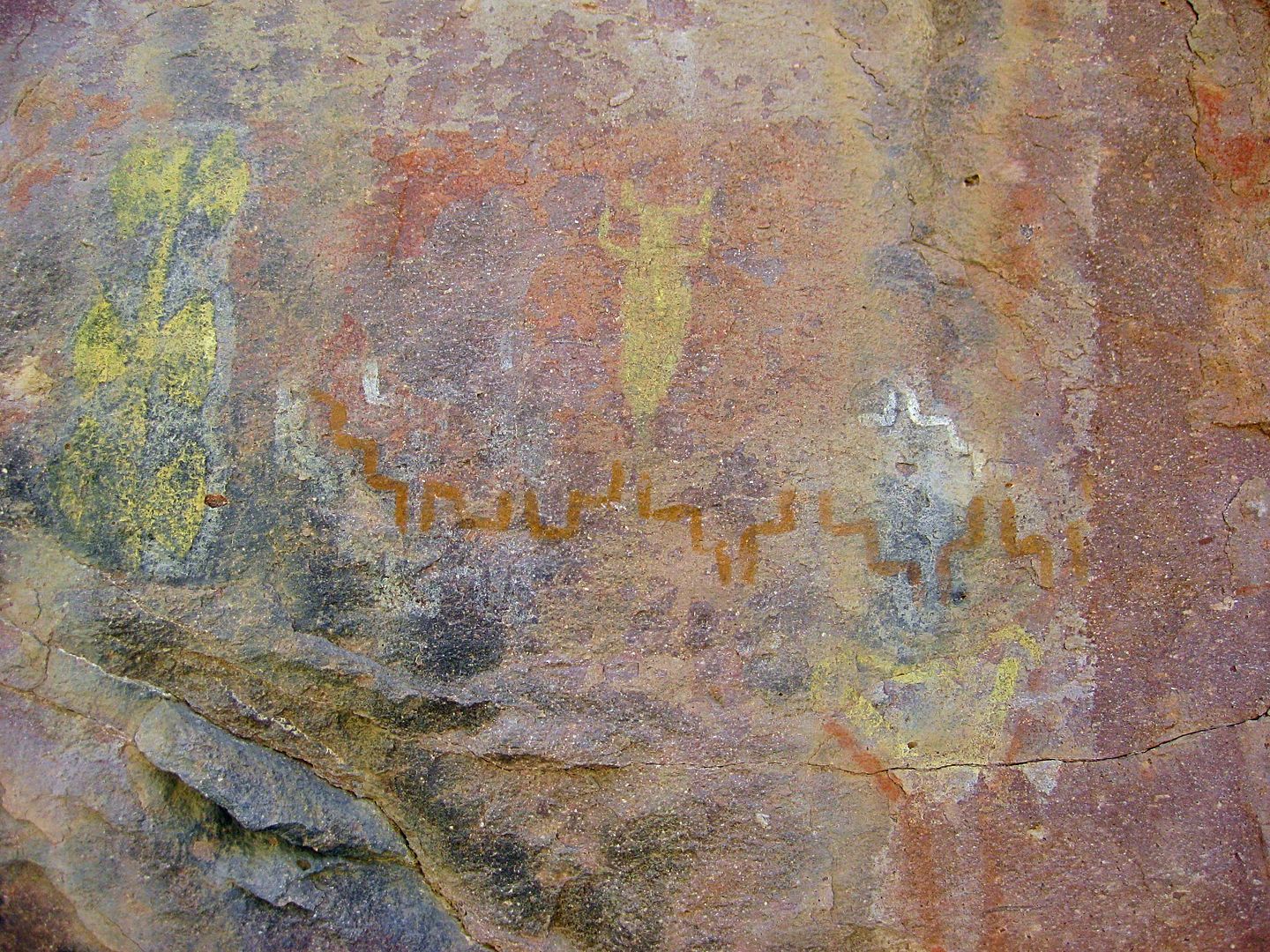
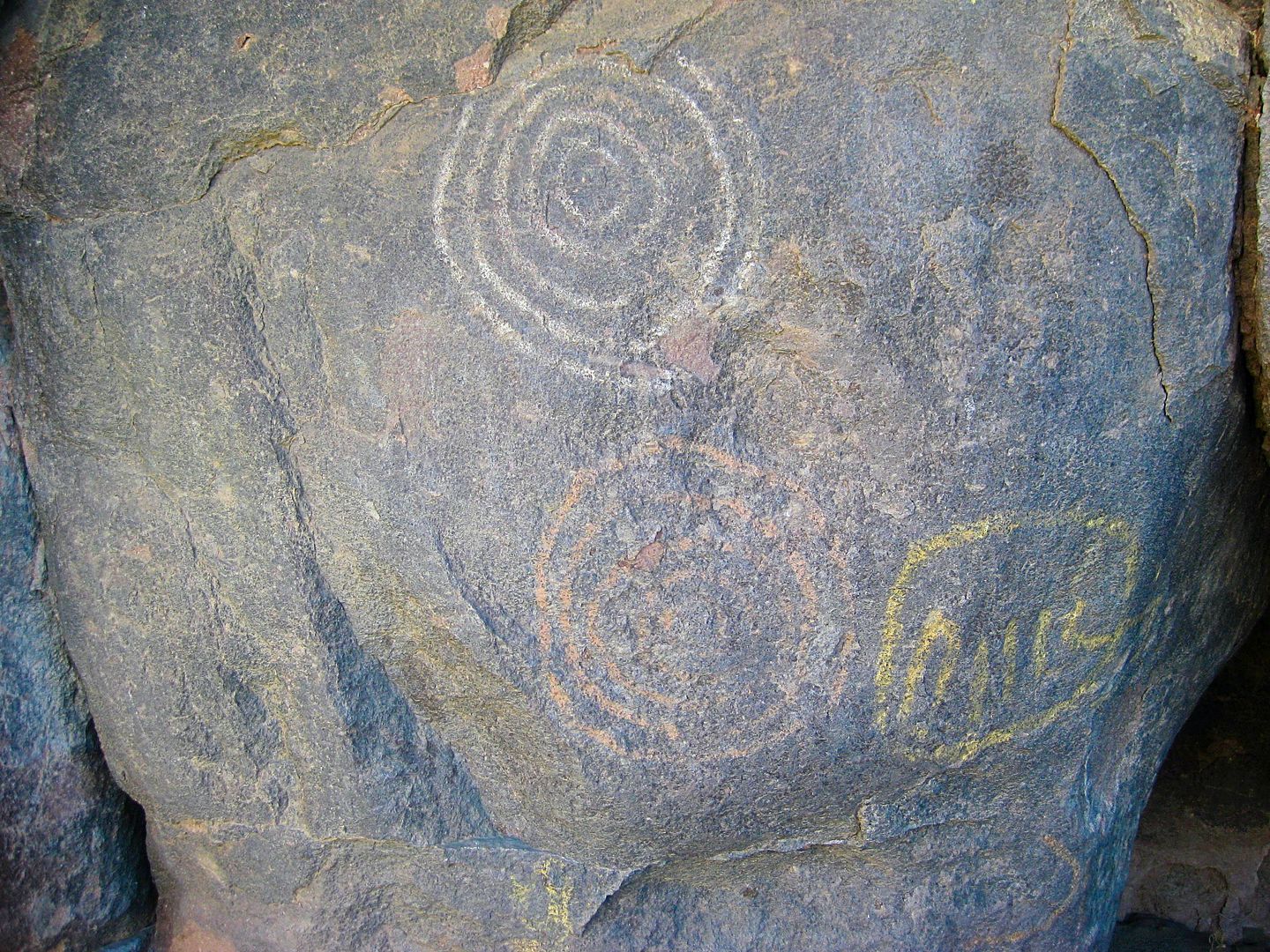
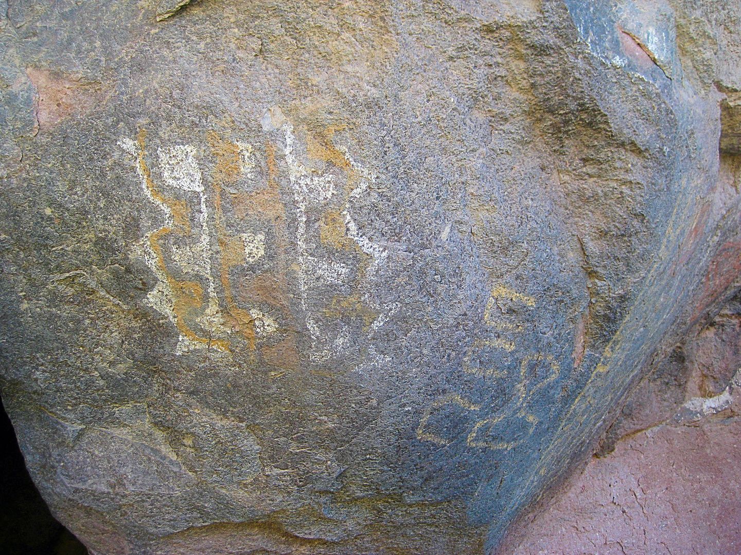
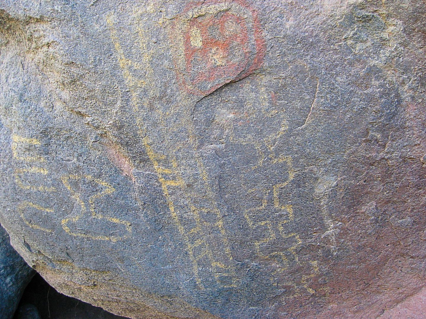
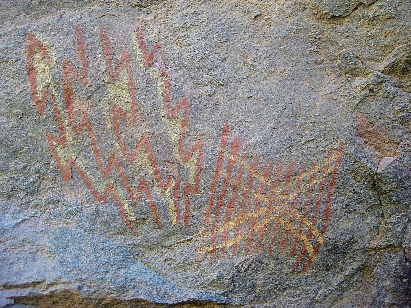
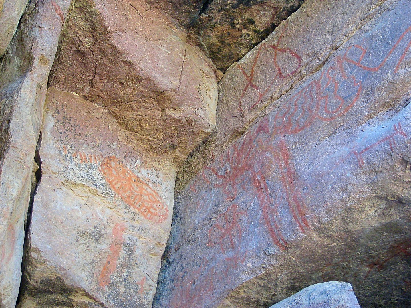
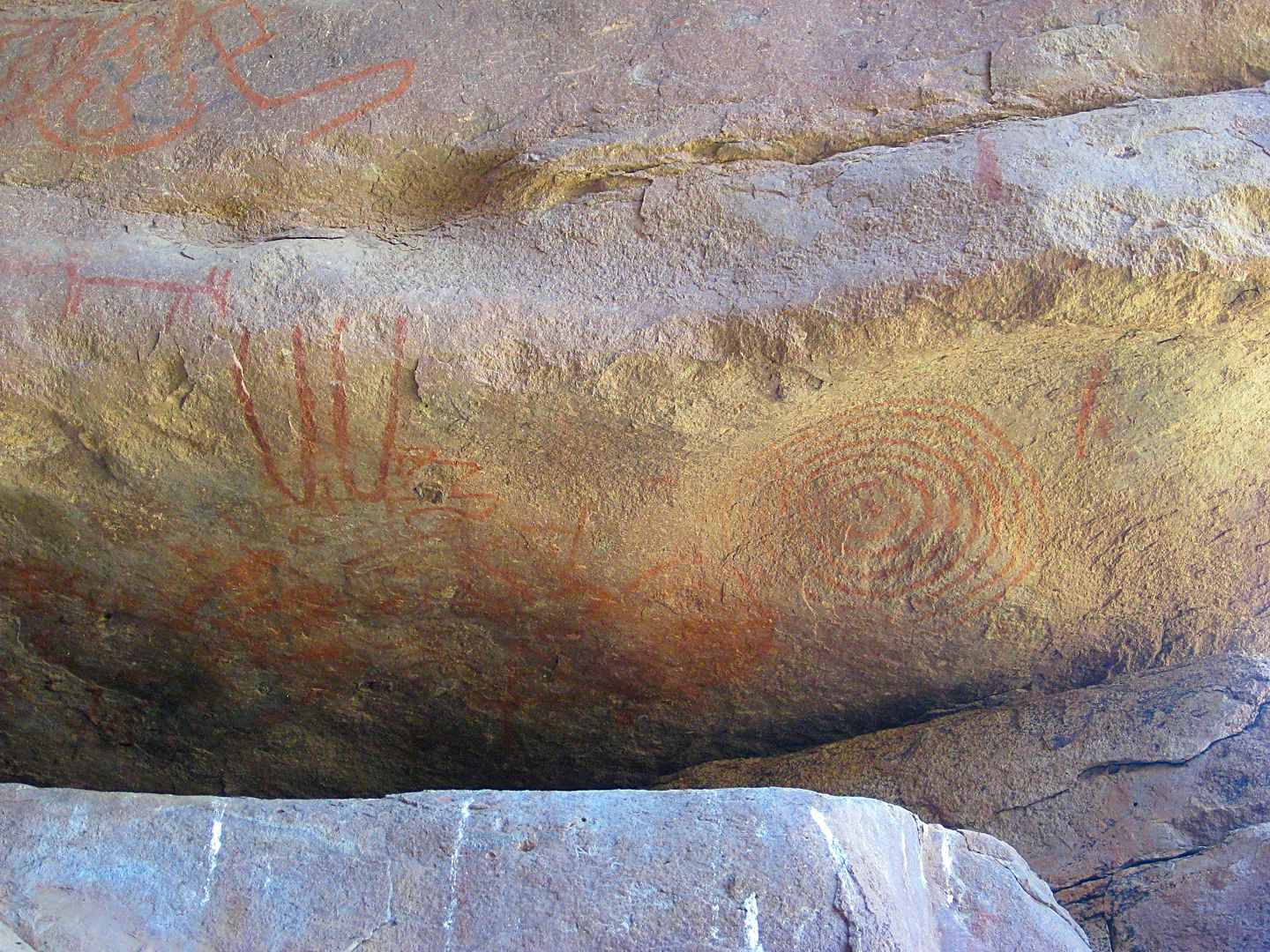
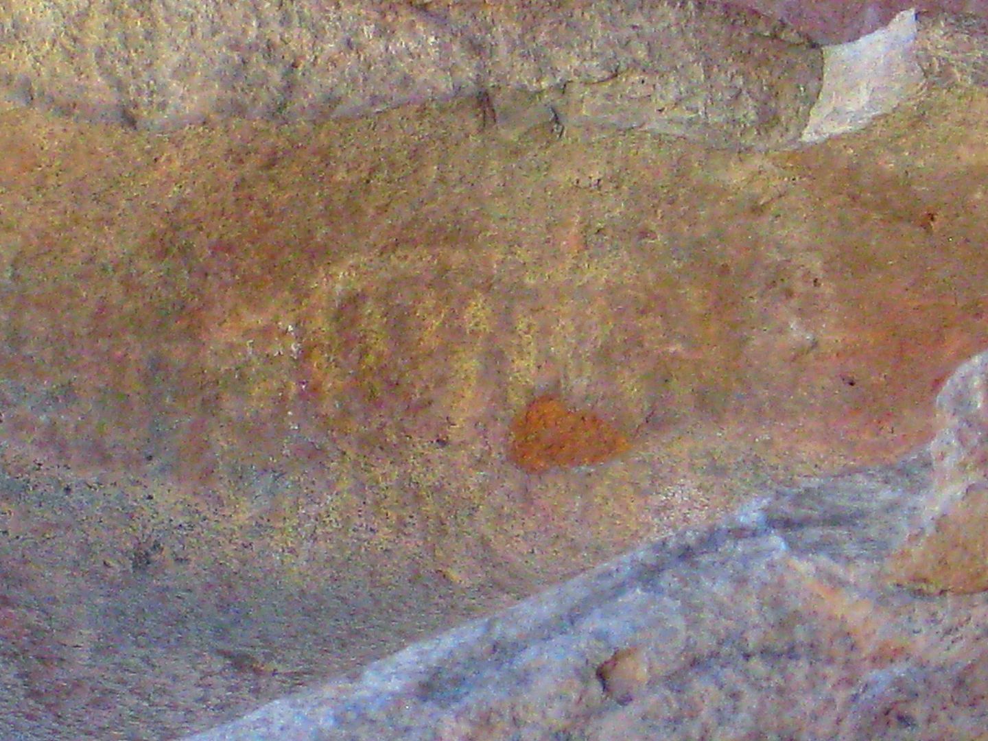
20.0 Road right to Montevideo (4WD only), 5.8 miles. Major rock art site.
22.0 L.A. Bay Highway Km. 45. L.A. Bay is 13 miles to the right.
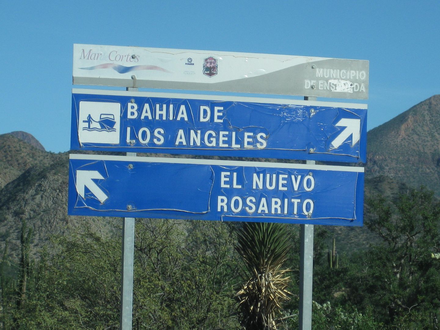
Sign at 0.8 mi.
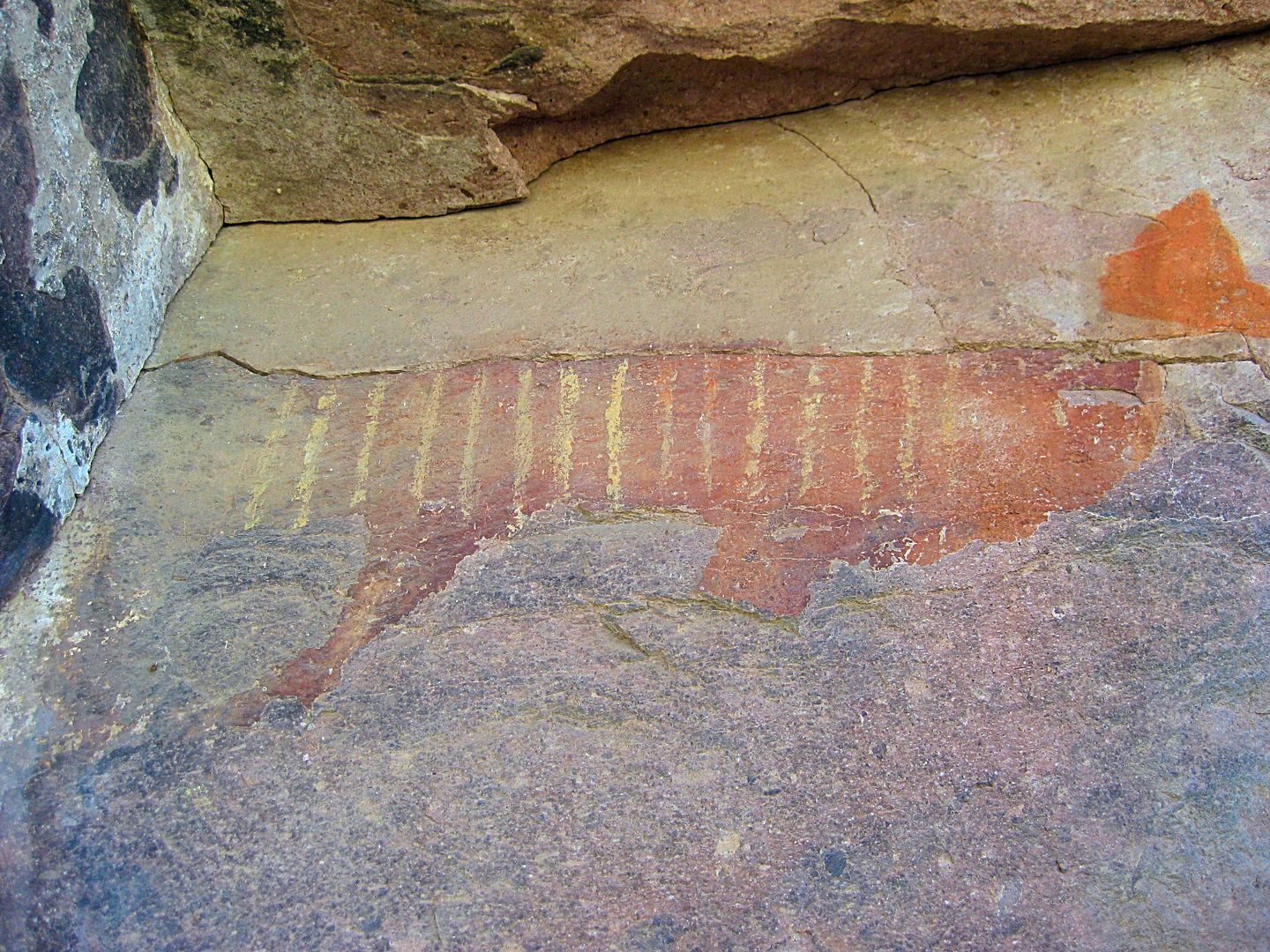
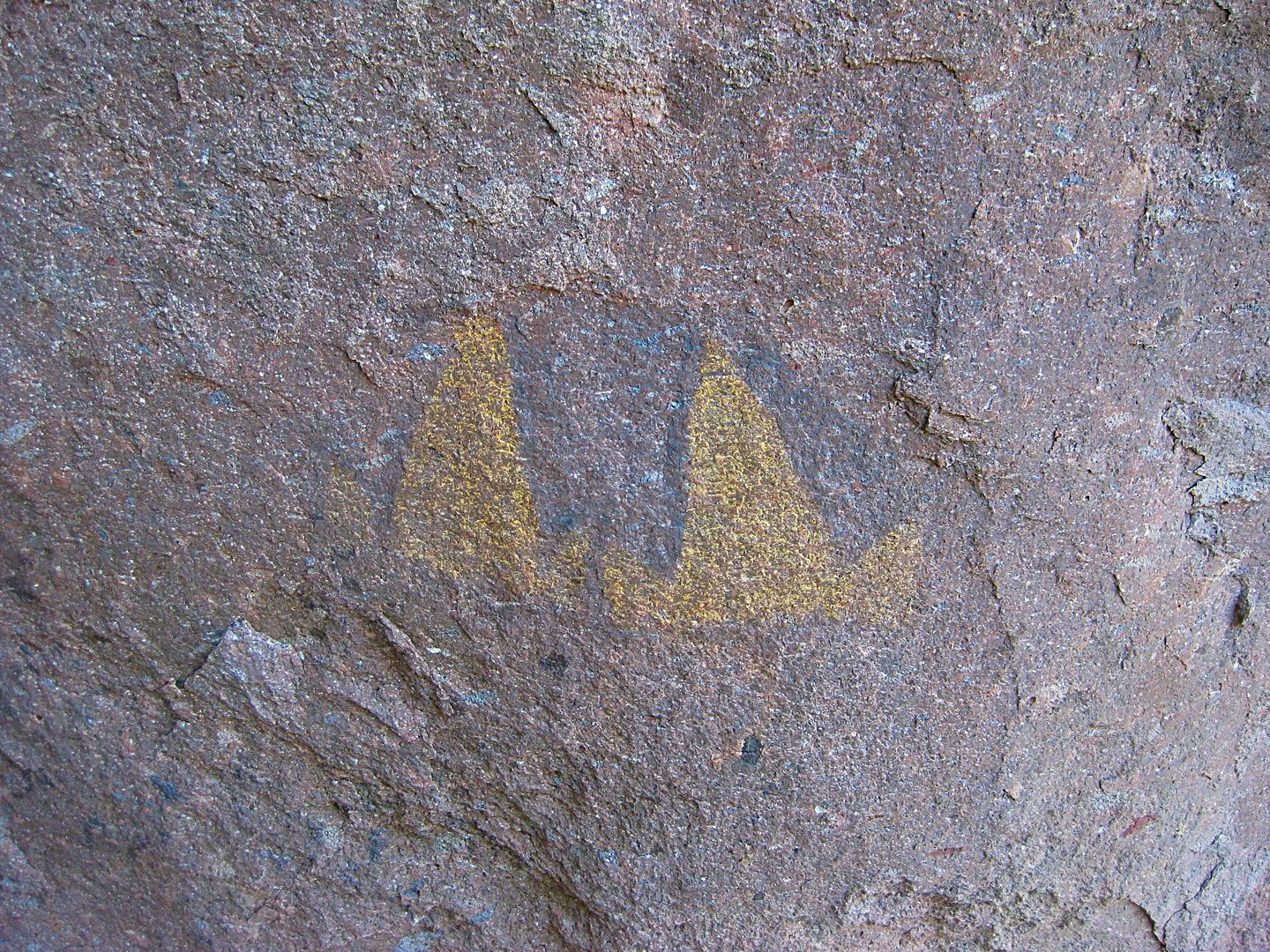
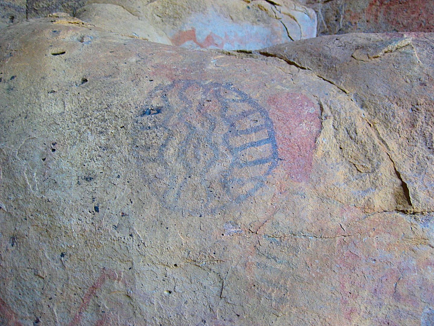
SIDE TRIP TO MONTEVIDEO:
All the paintings I photographed are within a hundred feet of the road. Many more can be seen by doing a little more walking and some climbing.
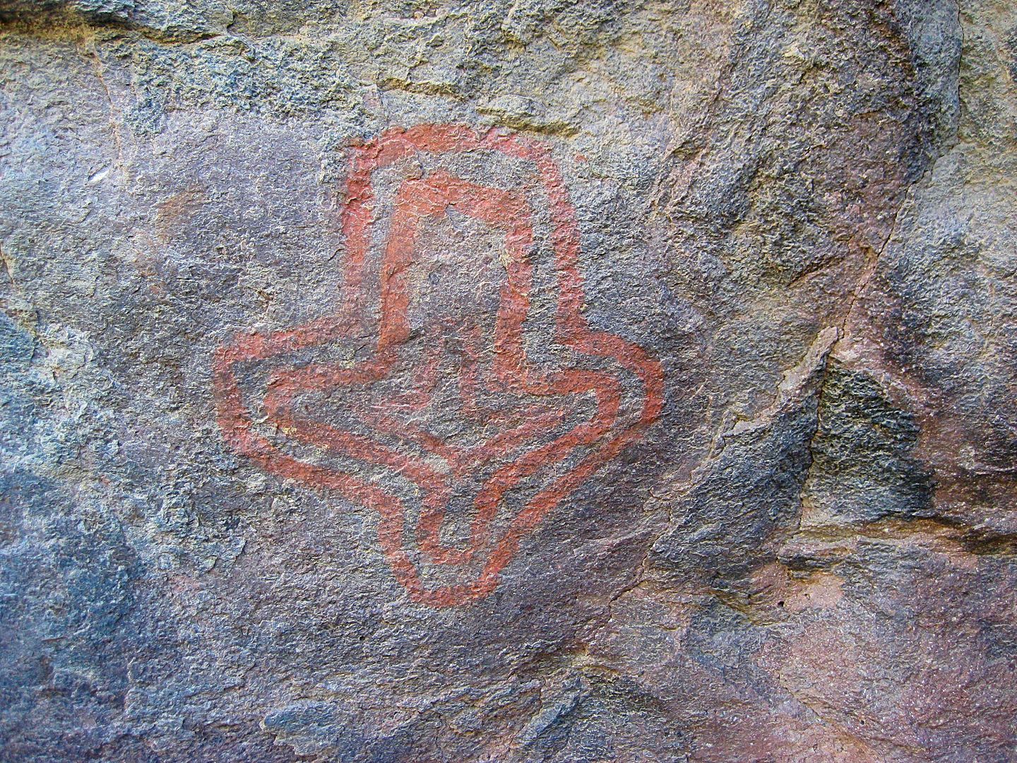
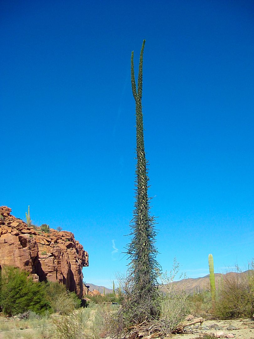
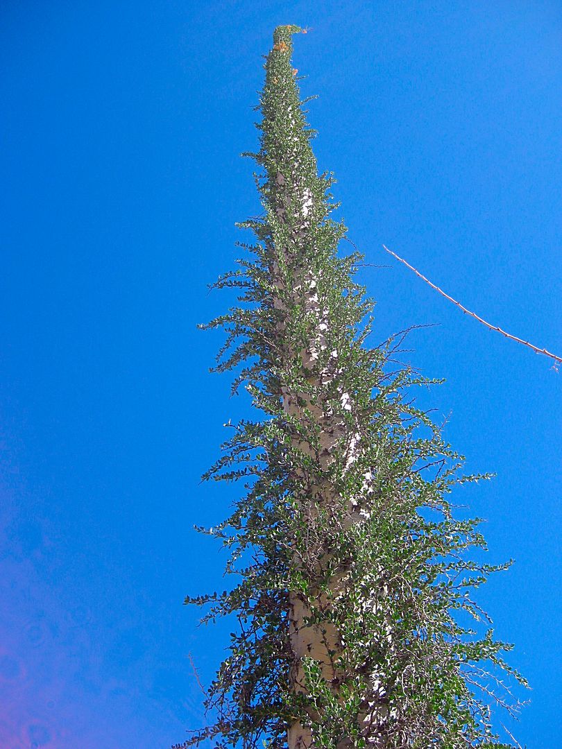
Boojum Tree (Cirio)
Painted cliff in relation to the road. This is a superior location for older folks or handicapped people to see the magnificent art without hiking or
mule riding... Just a 4WD vehicle.
Driving back out to the San Borja road.
I turn right on the pavement and go to Bahía de los Angeles.
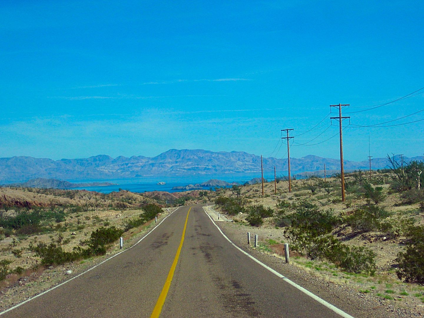
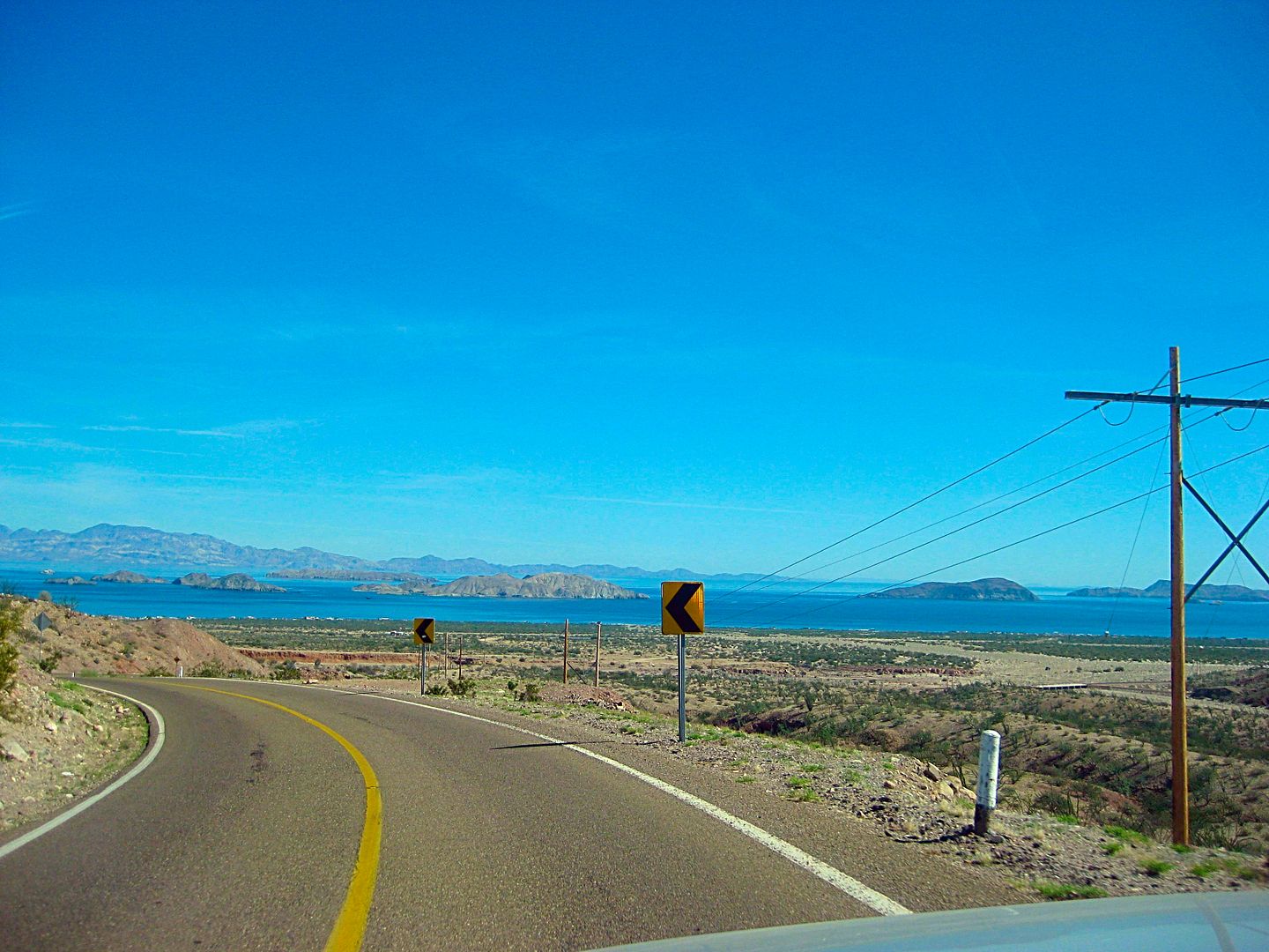
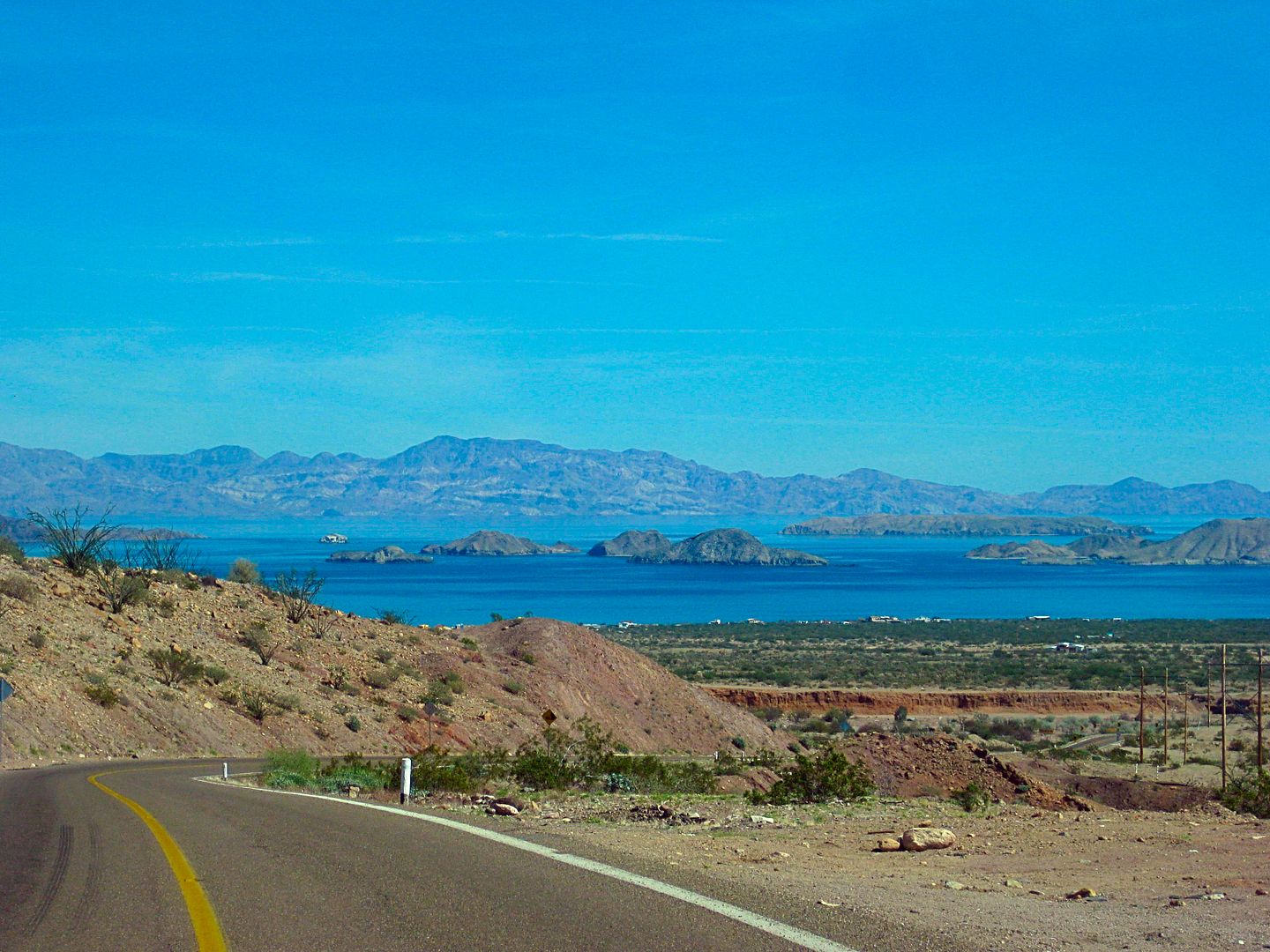
This view never gets old!
I get gasoline when I reach town, go to the museum to let Carolina know I made it (she asked me a few days ago if I would drive in to give a
PowerPoint lecture about the missions and my book that afternoon, and deliver her more books to sell), get a room at Villa Bahía, and visit with Mary
Ann Humfreville.
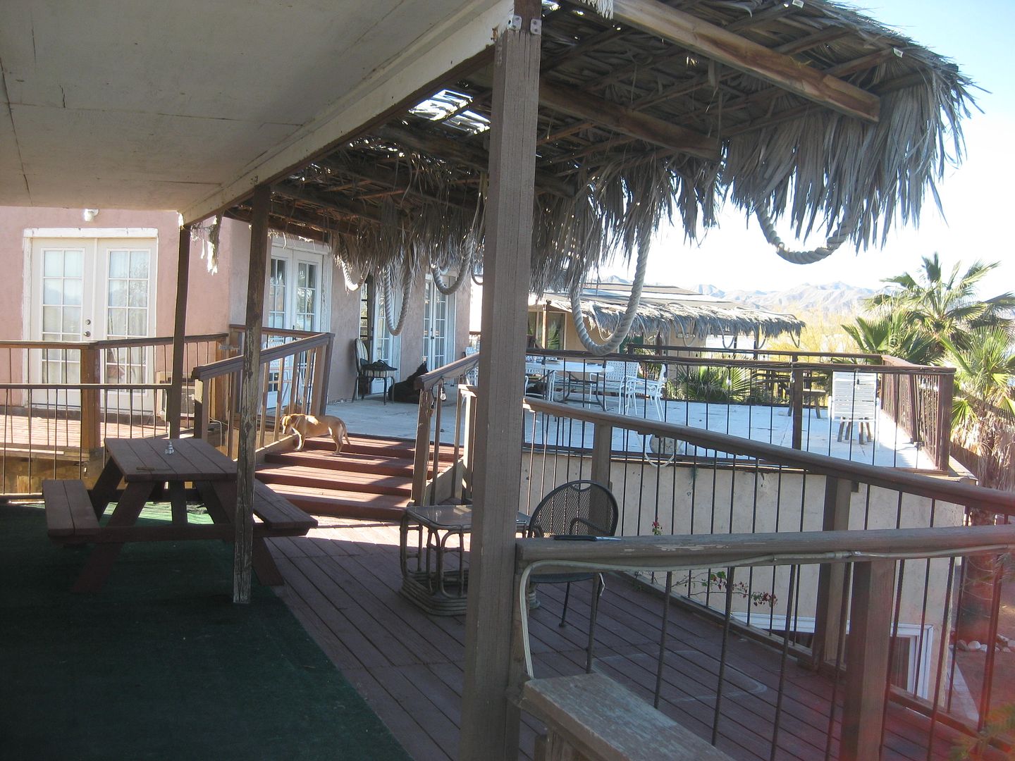
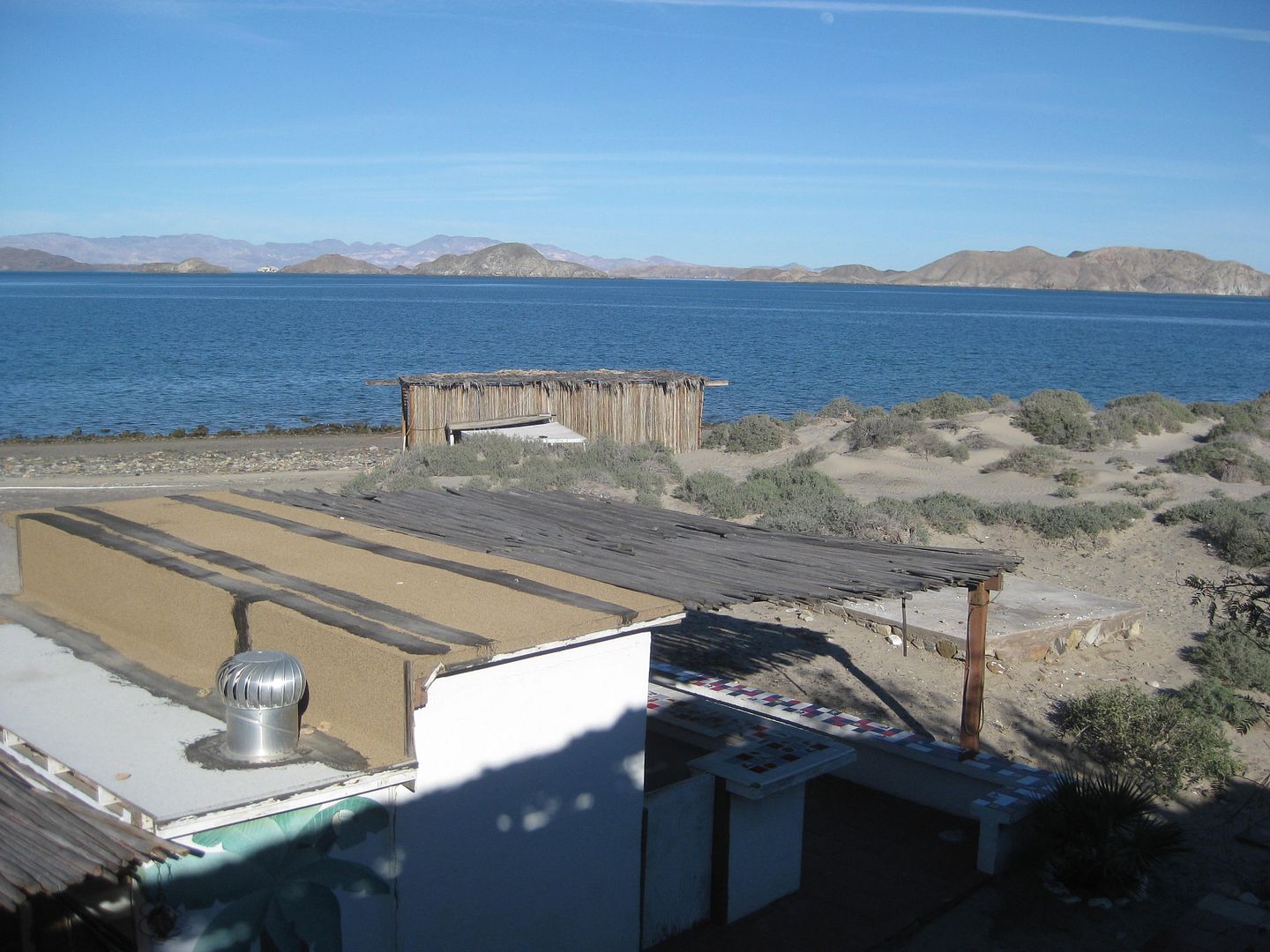
Hotel Villa Bahía:
The room at the museum filled up (I was surprised at how many), I gave my show with the slides and answered questions. I think Carolina sold all the
books after the show?
Afterward many of us, including Mary Ann, 24baja, and bkbend, went to Alejandrina's restaurant for dinner... It was great and dinner, with beers, was
only 150 pesos (=US$7.50).
I had wi-fi at the Villa Bahía to keep me on Nomad or reading emails while the generator was running and dogs barking outside my window. I want to
thank Roger for his hospitality. The rooms are nice, with a view and a kitchen. Eventually, the generator was stopped and it got quiet. Slept well.
End of Day 9... 1 more to go!
[Edited on 2-22-2017 by David K]
|
|
|
fishbuck
Banned
Posts: 5318
Registered: 8-31-2006
Member Is Offline
|
|
Yeah brother David. Nice shoots. Love how green it is there now.
"A ship in harbor is safe, but that is not what ships are built for." J. A. Shedd.
A clever person solves a problem. A wise person avoids it. – Albert Einstein
"Life's a Beach... and then you Fly!" Fishbuck
|
|
|
David K
Honored Nomad
Posts: 64480
Registered: 8-30-2002
Location: San Diego County
Member Is Offline
Mood: Have Baja Fever
|
|
Thanks, Mike.
There is just so much down there that everyone's interest is answered. Of all my photos, it was the green landscape that sparked your reply.
I like seeing old things that remain to this day to tell the story of what people did so long ago in such a harsh land.
I like seeing the crazy boojum trees doing their own thing without rules.
I like the peaceful feeling of being on a white sand beach with the sea gently splashing on the shore.
I like the friendly people who make the experience all so relaxing.
I like the rough, bad roads that create avenues for the good people who risk driving them to find adventure.
Viva Baja!
|
|
|
| Pages:
1
2
3
4
5 |
|


