| Pages:
1
2
3
4
5 |
chuckie
Elite Nomad

Posts: 6082
Registered: 2-20-2012
Location: Kansas Prairies
Member Is Offline
Mood: Weary
|
|
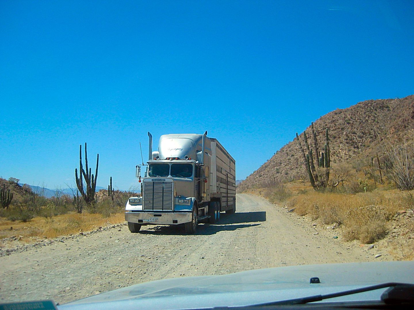
Geezo..More time is spent talking about this lil bitty 23 miles of road, which by Baja standards isn't even really bad, than has been spent discussing
Christianity...Drive it and shut up! ITS 23 MILES! Wimps
|
|
|
David K
Honored Nomad
Posts: 64476
Registered: 8-30-2002
Location: San Diego County
Member Is Offline
Mood: Have Baja Fever
|
|
Hmmm, why would we discuss that on a Baja Road Conditions forum?

Kind of like discussing gas prices, as if that would stop you from going to Baja? Dirt roads are one of the many things that Baja is famous for.
That it is taking them so many years for this ~20 mile section of highway (23 dirt detour miles) is what is amazing (that they can milk a job for so
long). If they would just curve around a couple of peaks instead of removing the mountain so this highway can run almost straight, it bet it could be
done in a year or two.
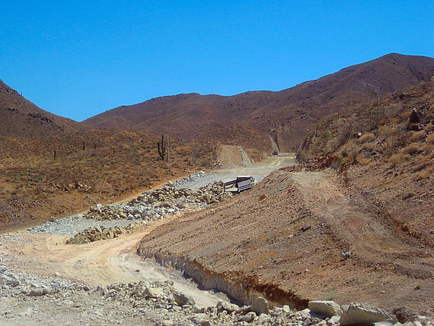
Only a couple of earth mover scoops were working, some machines/dump trucks appeared parked and broken, and what few workers that could be seen were
mostly at the food shack. That was also the only work camp (in the canyon). The camp at Las Arrastras, active last January, was gone.
They had been averaging about 6-8 miles a year from when the started at Puertecitos in 2007 to where the pavement reached in early 2014. Now, nearing
4 years and not a single meter of new paving open to use.
I guess no incentive to complete early or on time exists? We know Mexico can do it, as they did in 1973 with the Transpeninsular Highway from San
Quintin to San Ignacio all in one year!
|
|
|
AKgringo
Elite Nomad
Posts: 5805
Registered: 9-20-2014
Location: Anchorage, AK (no mas!)
Member Is Offline
Mood: Retireded
|
|
Quote: Originally posted by David K  | El gusto es mio, amigo.
I like recording travel details and if others enjoy them too, why not share? I drew my first Baja map when I was 9 or 10 (1967, glad I dated it) and
my first published road guide when I was 15 (1973). So, I guess I was born to do this stuff! I have my parents to thank for infecting me with 'Baja
Fever' and it sure directed my life! |
A generation later, you would be prescribed Adderall for ADHD, and have your therapist to thank!  
Just kidding David, I appreciate what you do (non-political), and have done in the past.
If you are not living on the edge, you are taking up too much space!
"Could do better if he tried!" Report card comments from most of my grade school teachers. Sadly, still true!
|
|
|
David K
Honored Nomad
Posts: 64476
Registered: 8-30-2002
Location: San Diego County
Member Is Offline
Mood: Have Baja Fever
|
|
I agree, lol!
|
|
|
rts551
Elite Nomad
Posts: 6699
Registered: 9-5-2003
Member Is Offline
|
|
I guess we need some of these very successful gringo businessman/engineers to manage these road projects. hmmmmm maybe not.
|
|
|
AKgringo
Elite Nomad
Posts: 5805
Registered: 9-20-2014
Location: Anchorage, AK (no mas!)
Member Is Offline
Mood: Retireded
|
|
I would guess that the reason for the massive cuts through the mountain, is because they need a hell of a lot of fill material going across the dry
lake bed.
If you are not living on the edge, you are taking up too much space!
"Could do better if he tried!" Report card comments from most of my grade school teachers. Sadly, still true!
|
|
|
David K
Honored Nomad
Posts: 64476
Registered: 8-30-2002
Location: San Diego County
Member Is Offline
Mood: Have Baja Fever
|
|
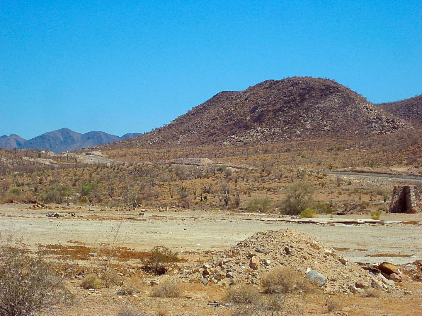
The levee is already done across the valley. You drive on about 2 miles of it, a bit on each side. The closed part is south of the older road. An
interesting stop is at the trees in the middle, which was the original Rancho Laguna Chapala site, before the highway was built to the west side of
the valley. A large, ooen, deep well is there. Can't see the bottom!
|
|
|
David K
Honored Nomad
Posts: 64476
Registered: 8-30-2002
Location: San Diego County
Member Is Offline
Mood: Have Baja Fever
|
|
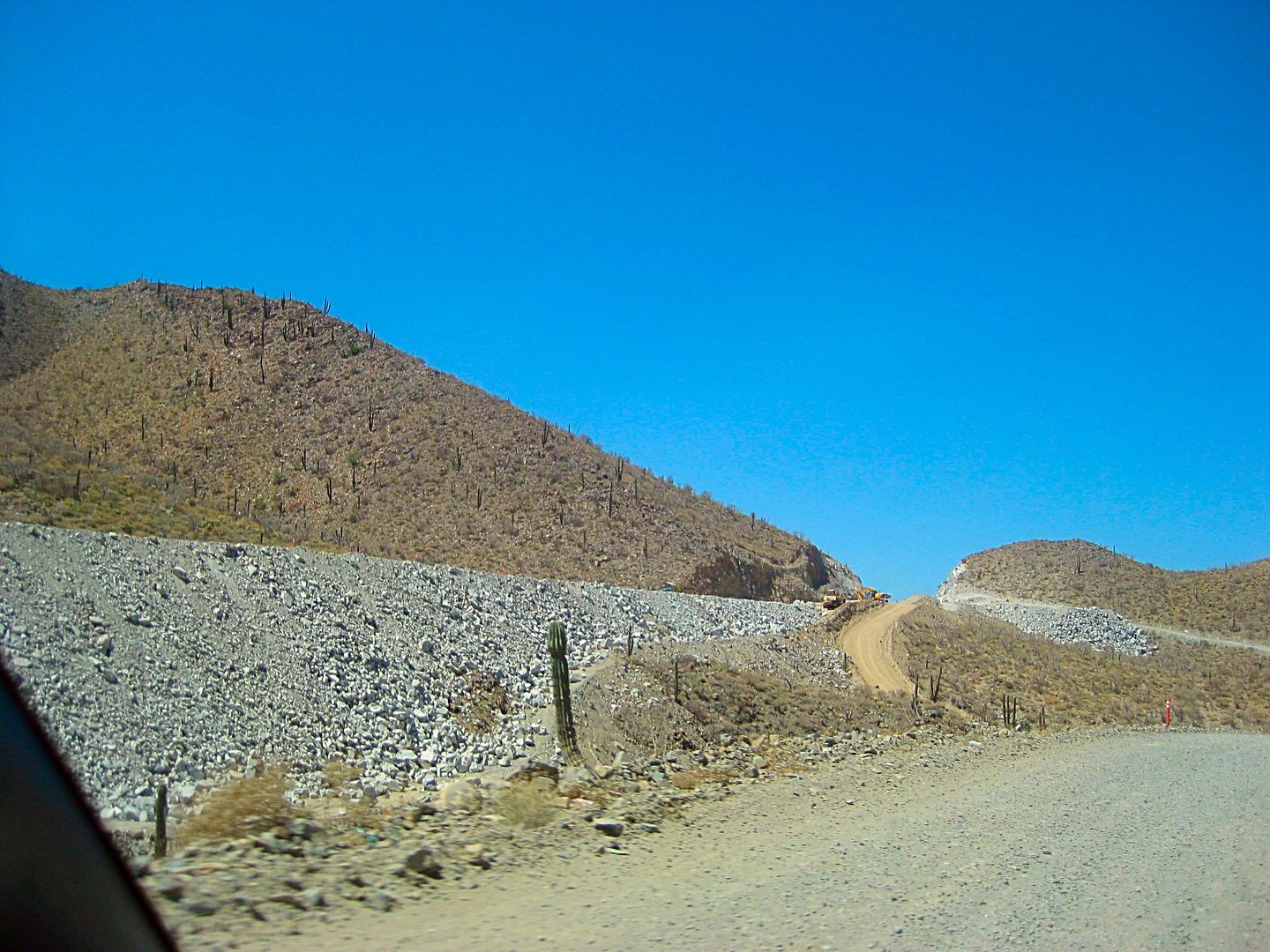
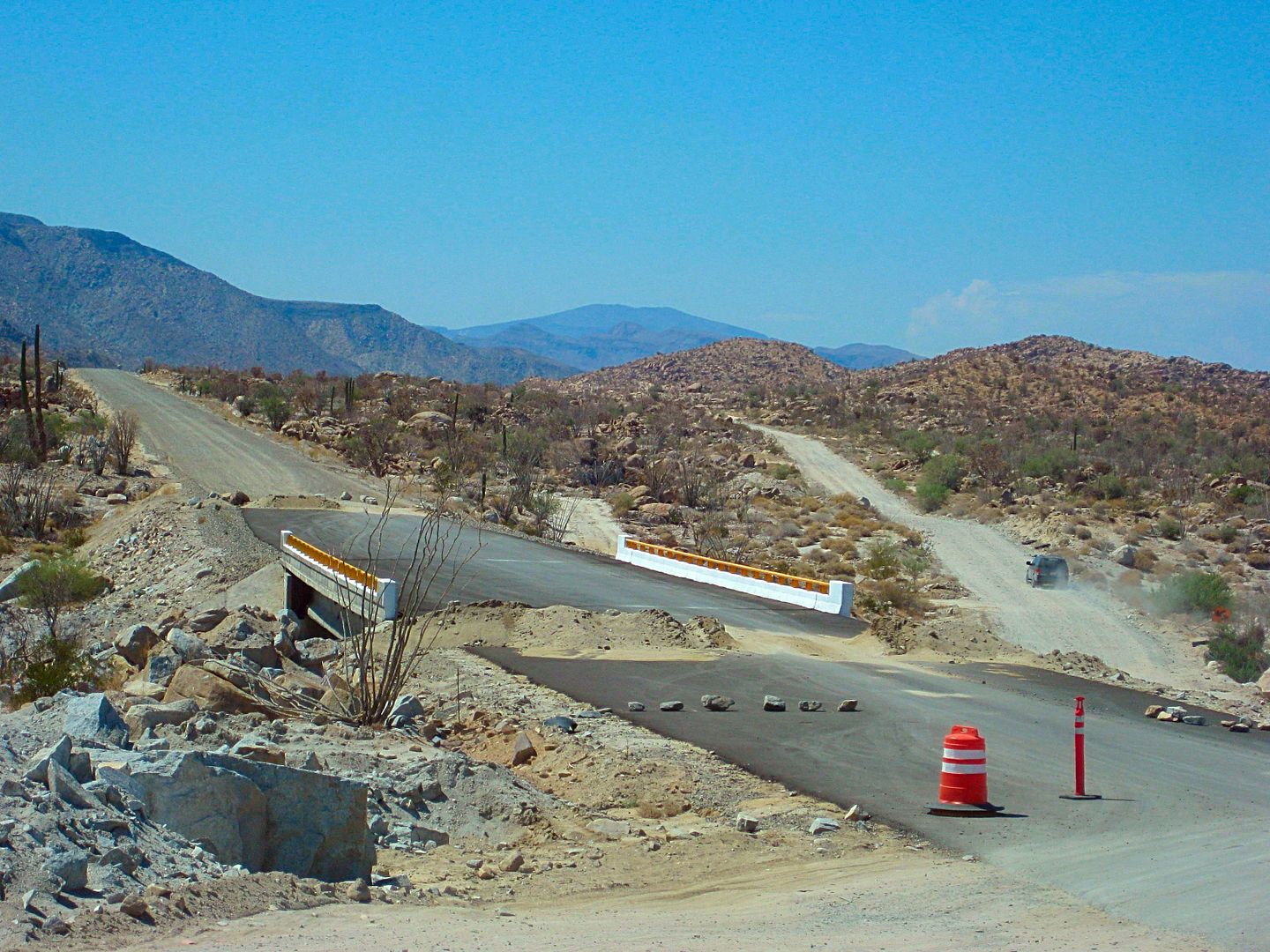
AUG. 13, 2017 NEWS
NEW ROADBED OPEN!
In the 2 weeks since I was last on this route, barriers blocking the new highway elevated roadbed (south of the original road) were removed and other
cars were on it. During construction, these detours could very well change back.
Mile 0.0 Hwy. 1 & Hwy. 5 Junction, 1:58 pm.
Mile 0.9 Fork right onto new roadbed.
Mile 3.5 original and new roads rejoin.
Mile 5.2 off of new roadbed.
Mile 8.0 Construction camp, leave new road alignment and head for Coco's Corner.
Mile 12.9 Coco's Corner 2:36 pm
Mile 16.8 Las Arrastras 2:45 pm Rejoin new road route.
Mile 22.3 On pavement and new bridges.
Mile 23.2 Km. 167 (just north of previous pavement start.
Mile 35.5 Km. 147 Gonzaga Bay Pemex, 3:12 pm
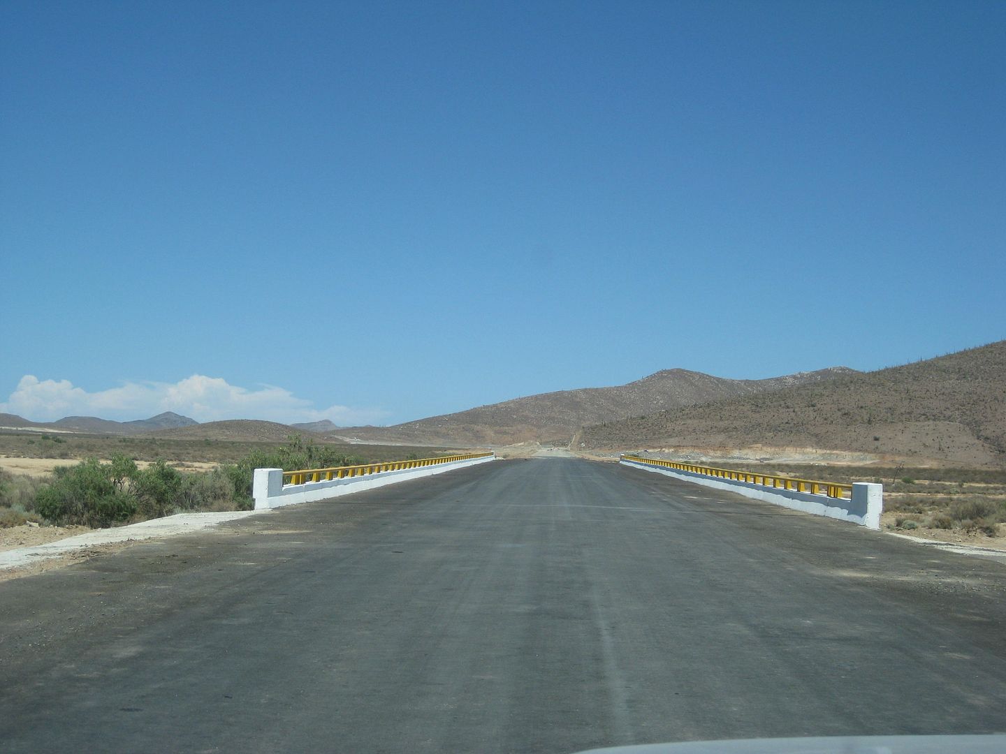
Paved bridge, new section, Chapala Valley.
New section, Chapala Valley.
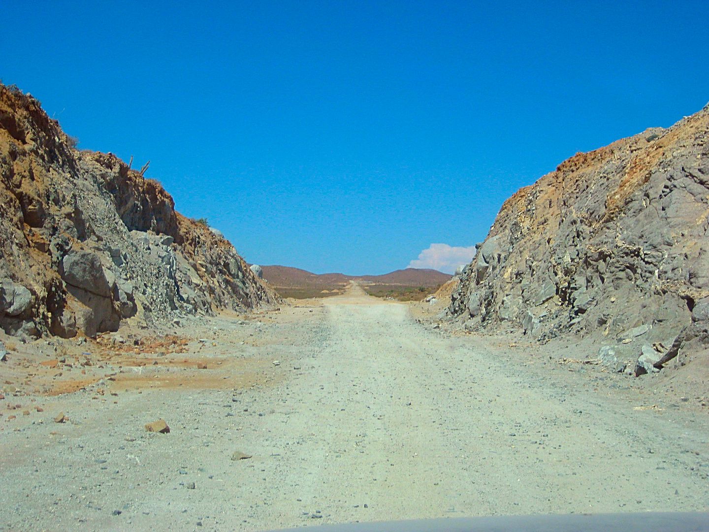
Can you imagine how Arturo Grosso made the first road through here, in 1955? Picks and dynamite!
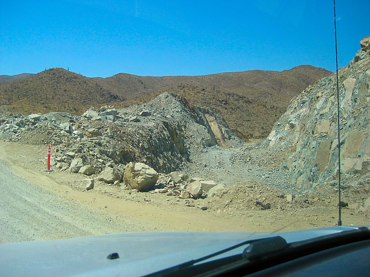
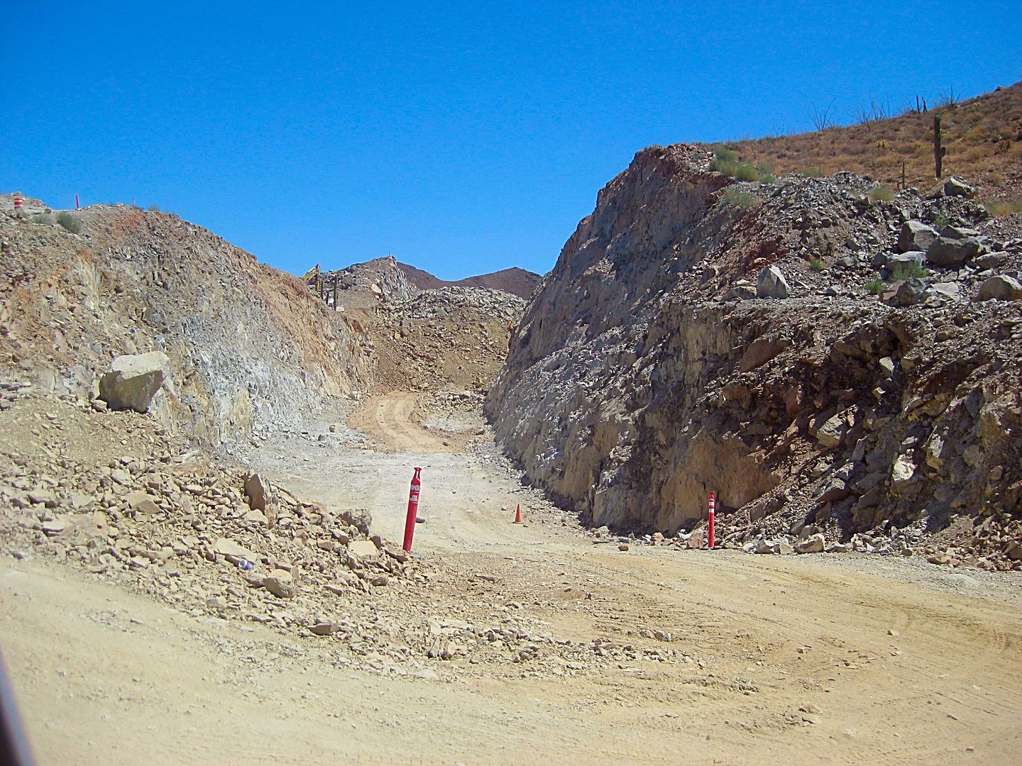
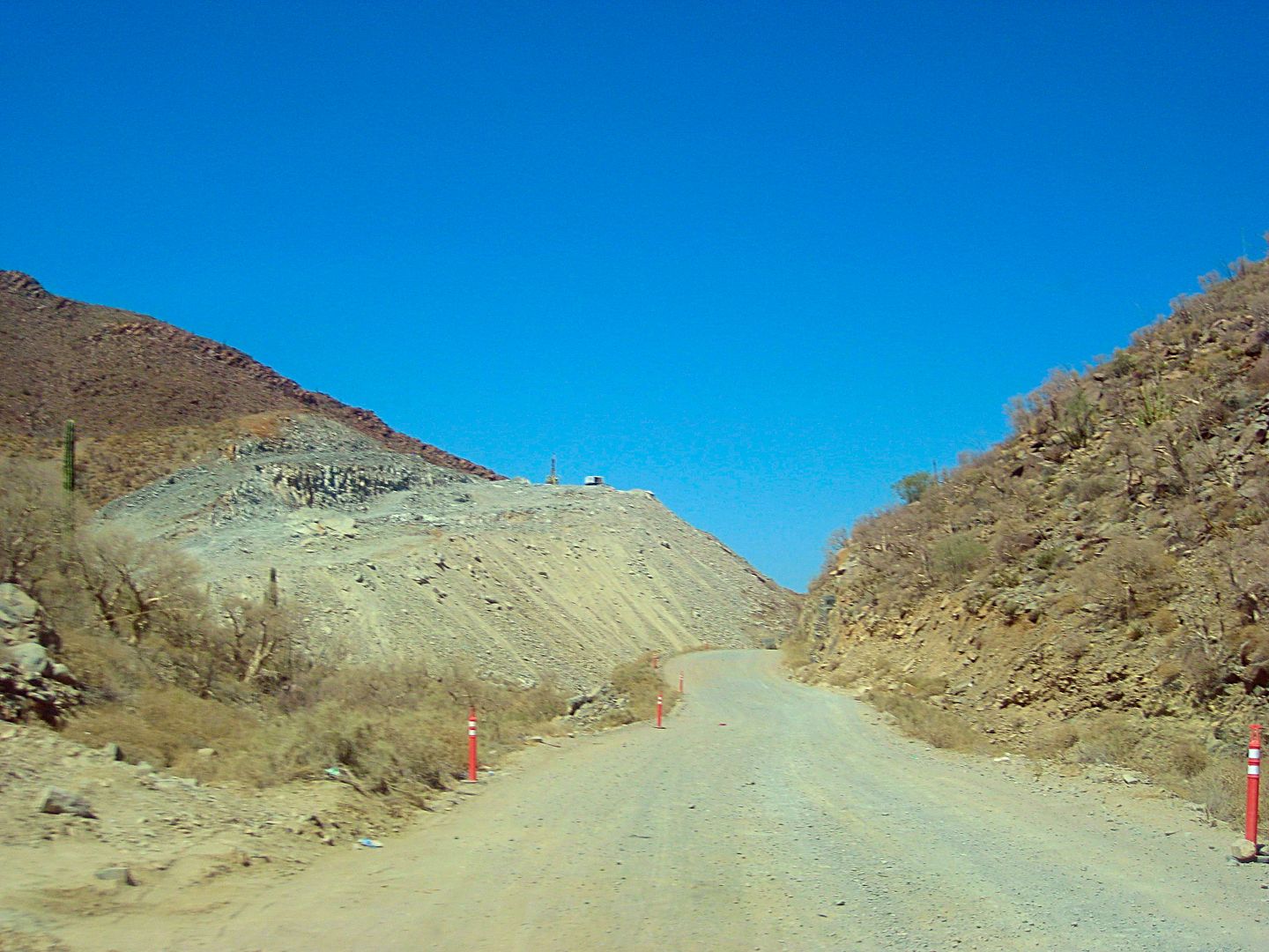
Here is where the highway leaves the original route (northbound) and shoots straight to Las Arrastras, bypassing Coco's Corner.
Nearing Coco's Corner.
Here at Las Arrastras, is where the new highway returns to the original route, on the north end of the Coco's Bypass.
Old and new routes criss-cross a few times.
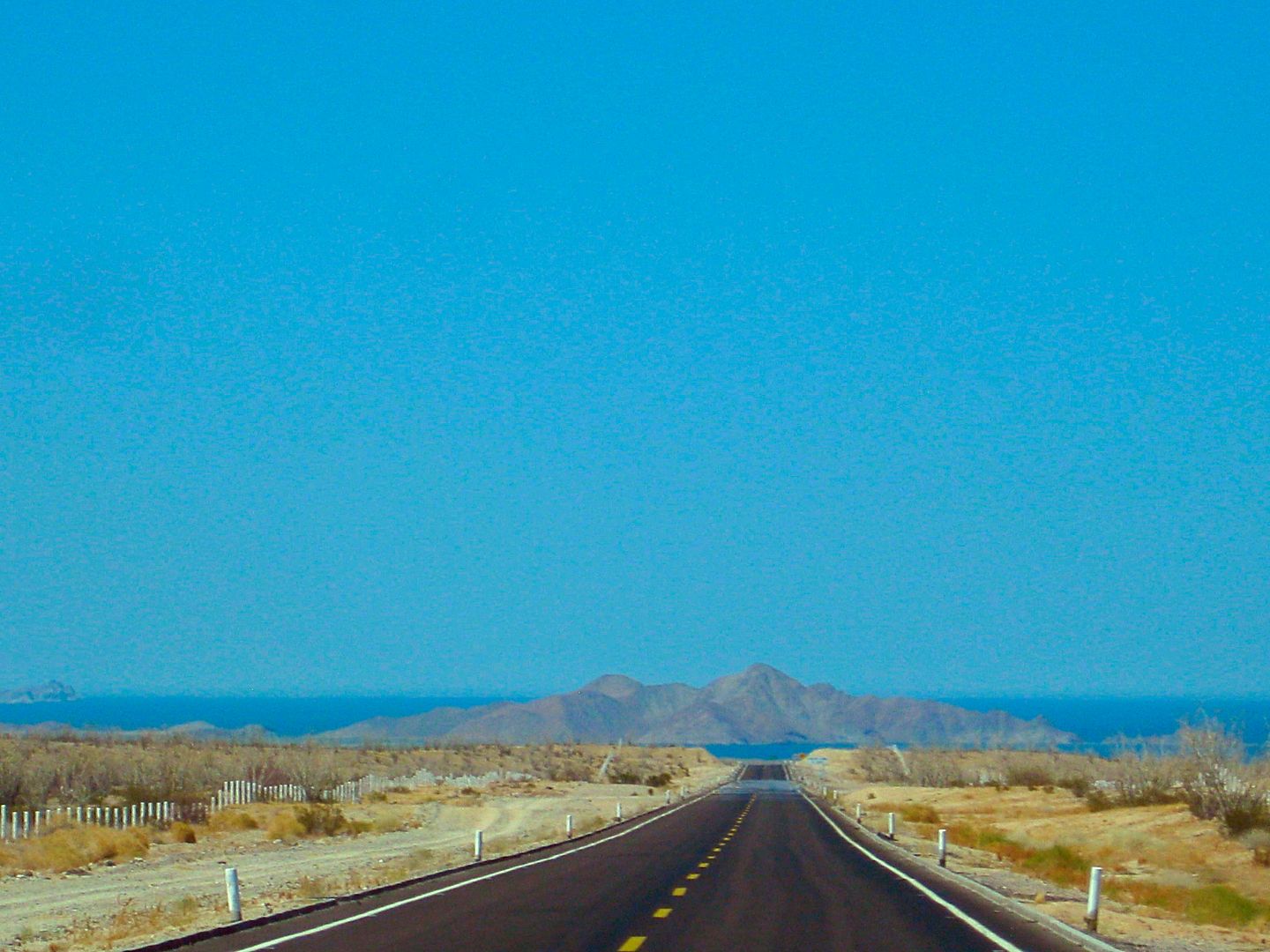
Gonzaga Bay, dead ahead!
[Edited on 9-7-2017 by David K]
|
|
|
SuperScrappy
Newbie
Posts: 10
Registered: 2-7-2016
Member Is Offline
|
|
We came thru on 9/4 after Lidia. We were a little worried about the rain damage, but not an issue. It does look like there are far less workers on
hwy 5 from our last trip down which was about 6 months ago. The work seems to mostly be thru the pass. You can drive on a lot of the sections of the
road as long as the construction people don't put the piles of dirt back up. We easily took our 30ft travel trailer thru without an issue. Really
the only issue is more with the pave section north of Gonzaga where big rocks have fallen on to the road (an important reason not to travel at night).
Several areas do have some sort of warning, but not all. Its the Baja, take your time, travel during the day, and be safe.
|
|
|
norte
Super Nomad
Posts: 1163
Registered: 10-8-2008
Member Is Offline
|
|
Didn't we see these pictures somewhere else already?
|
|
|
TMW
Select Nomad
Posts: 10659
Registered: 9-1-2003
Location: Bakersfield, CA
Member Is Offline
|
|
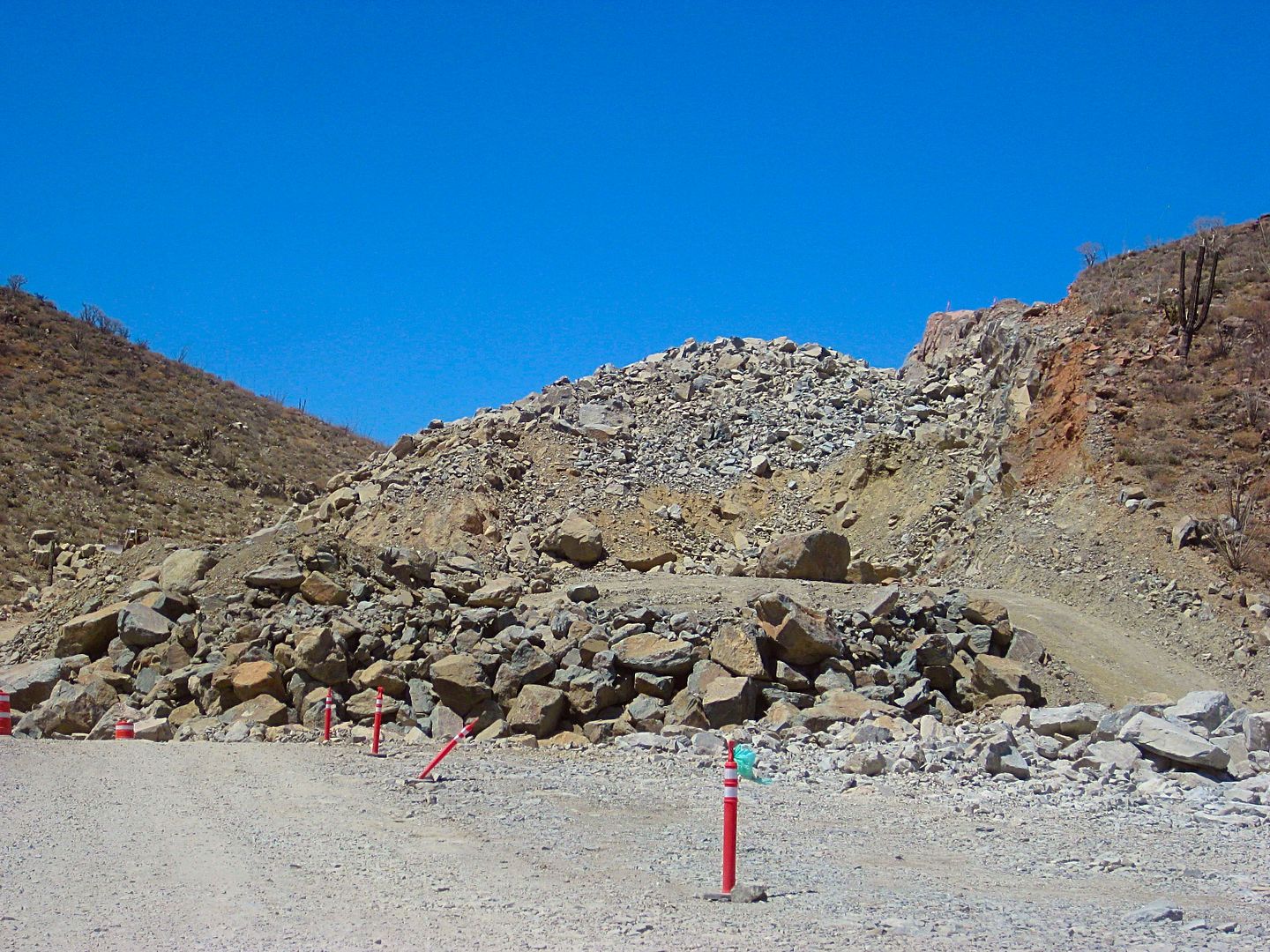
The next to last picture showing a bridge with dirt piles at each end looks like the turn off to the La Turquesa mine. Turn off is at the upper left
side of the bridge.
|
|
|
StuckSucks
Super Nomad
Posts: 2305
Registered: 10-17-2013
Member Is Offline
|
|
In Nov 2014 I shot a photo sphere, I *think* at that location, pre-construction.
http://tinyurl.com/ybcjuwrc
|
|
|
Jaybo
Nomad
Posts: 240
Registered: 12-7-2009
Location: NW Oregon
Member Is Offline
Mood: Praying for Baja!
|
|
OK, so, How many miles of dirt do we have now?
|
|
|
David K
Honored Nomad
Posts: 64476
Registered: 8-30-2002
Location: San Diego County
Member Is Offline
Mood: Have Baja Fever
|
|
About 22 miles last month.
|
|
|
rts551
Elite Nomad
Posts: 6699
Registered: 9-5-2003
Member Is Offline
|
|
About 22 miles. Lots of progress knocking the mountain down going through the pass. That is all. Rood is in worse condition after the rains.
|
|
|
Jaybo
Nomad
Posts: 240
Registered: 12-7-2009
Location: NW Oregon
Member Is Offline
Mood: Praying for Baja!
|
|
Oh OK, I had gotten from Davids last post that more paved was open but I guess just another mile is opened..
|
|
|
David K
Honored Nomad
Posts: 64476
Registered: 8-30-2002
Location: San Diego County
Member Is Offline
Mood: Have Baja Fever
|
|
| Quote: Originally posted by Jaybo | | Oh OK, I had gotten from Davids last post that more paved was open but I guess just another mile is opened.. |
Yes, 0.9 mile (1.5 kms.) additional was open last month... but for how long, who knows? It may have been a fluke that the barrier northbound was
removed.
There isn't much more blacktop applied south of where we got on the pavement.
|
|
|
Jaybo
Nomad
Posts: 240
Registered: 12-7-2009
Location: NW Oregon
Member Is Offline
Mood: Praying for Baja!
|
|
There is a small chance we will be going down again after Feb. so would like to go that way again. Be taking a non 4x4 vehicle though so may may end
up going down 1
|
|
|
David K
Honored Nomad
Posts: 64476
Registered: 8-30-2002
Location: San Diego County
Member Is Offline
Mood: Have Baja Fever
|
|
4WD is not needed on that or any other graded dirt road in Baja. The exception is during heavy rain maybe.
|
|
|
JoelovesBaja
Newbie
Posts: 19
Registered: 9-24-2013
Member Is Offline
|
|
is driving a Toyota Highlander down 5 a good idea?
| Quote: Originally posted by StuckSucks | | Thanks guys - glad you like it. But I doubt it will reduce the number of posts asking: "Can I take my 60' bus towing a 35' yacht?"
|
I need to ask, I am taking a trip to Mulege next December. My wife wants us to take HER Toyota 2014 Highlander. I want to ease her mind re assuring
her car will be ok through the 23 mile of gravel. I saw the entire video and I think we will be fine.
whats you opinion? we are tanking this Highlander for comfort
or should I take my 2003 for explorer?
|
|
|
| Pages:
1
2
3
4
5 |


