thebajarunner
Ultra Nomad

Posts: 3687
Registered: 9-8-2003
Location: Arizona....."Free at last from crumbling Cali
Member Is Offline
Mood: muy amable
|
|
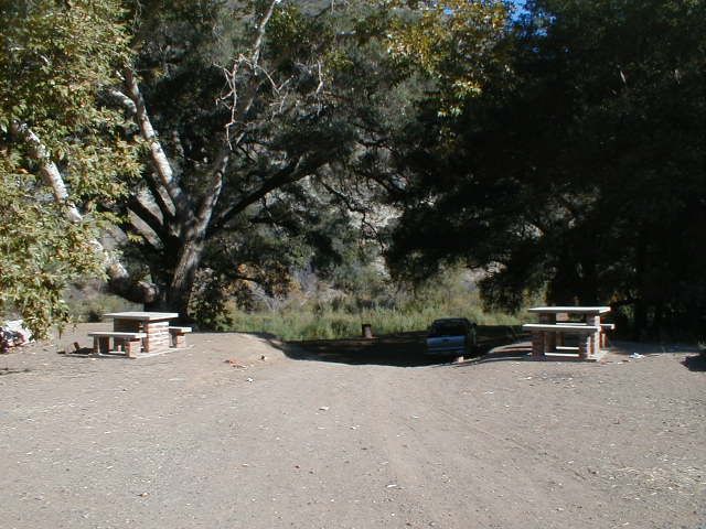
Oak Tree Campground, Santo Tomas- GONE!
Picked up a sad note out of David K's excellent trip report concerning one of our favorite stopping places.
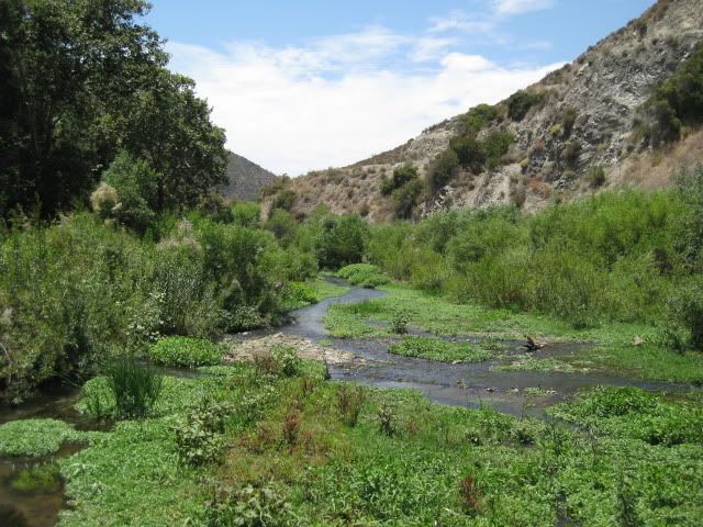
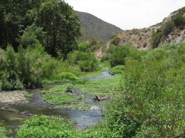
This campground, about five mile in on the La Bocana road out of Santo Tomas was a wonderful first night stopping place.
Shaded, along a creek (which even sometimes had water), off the beaten track....
It was just such a great place to camp out after a long day's slog down through California.
Grab some quick takeout at El Recreo in Maneadero, whip into camp, have some cool ones with great food and spend a safe night.
Wondering why it has been fenced off?
Bummer, for sure!!
|
|
|
David K
Honored Nomad
Posts: 64493
Registered: 8-30-2002
Location: San Diego County
Member Is Offline
Mood: Have Baja Fever
|
|
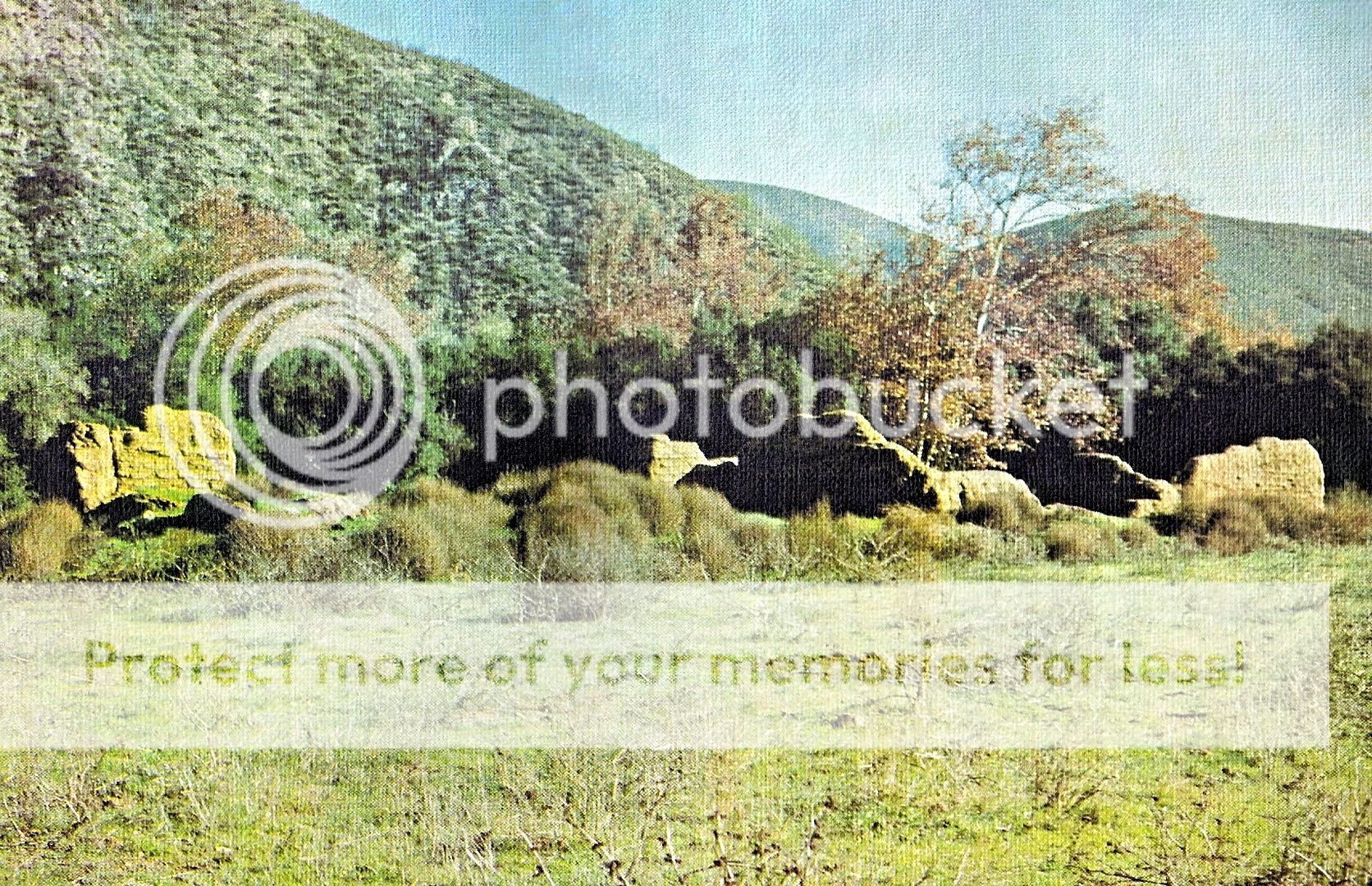
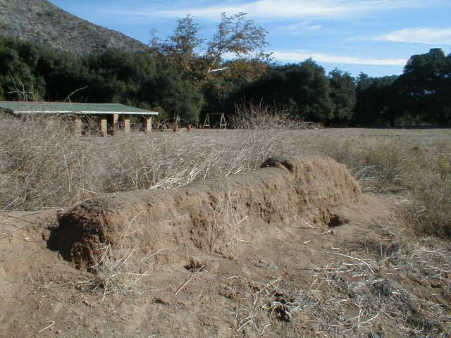
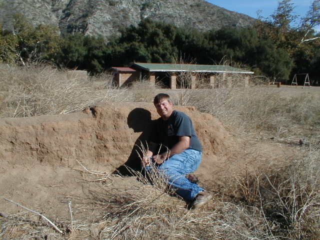
Yes, I was bummed because that field south of the oaks and giant sycamore has some adobe bumps... all that is left of the first mission site for Santo
Tomás (1791-1794). The access was 3.4 miles from Hwy. 1, then 0.5 mi. in. All fenced off now and the creek was dry.
|
|
|
DanO
Super Nomad
Posts: 1923
Registered: 8-26-2003
Location: Not far from the Pacific
Member Is Offline
|
|
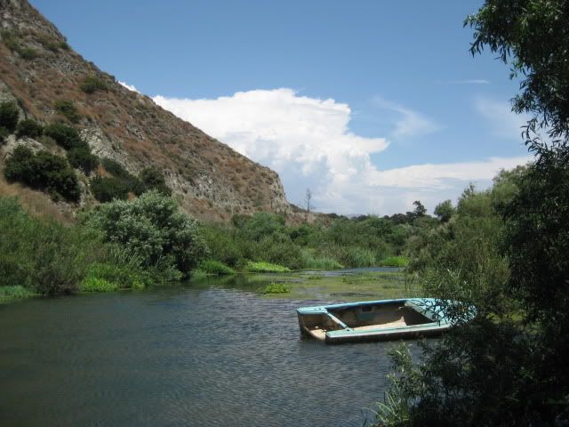
The Rio Santo Tomas has been dry in that upper stretch for many years now, since the expansion of the farming operations in the valley. It runs
underground until it comes out at the lagoon on the coast, but has been reduced to a trickle compared to what it used to be. Last winter's heavy
rains flushed the lagoon, but the water table is still very low. I don't know specifically why the camping area is fenced off, but I suspect that
there were just not enough people using it once the river dried up.
\"Without deviation from the norm, progress is not possible.\" -- Frank Zappa
|
|
|
David K
Honored Nomad
Posts: 64493
Registered: 8-30-2002
Location: San Diego County
Member Is Offline
Mood: Have Baja Fever
|
|
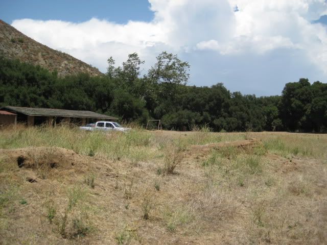
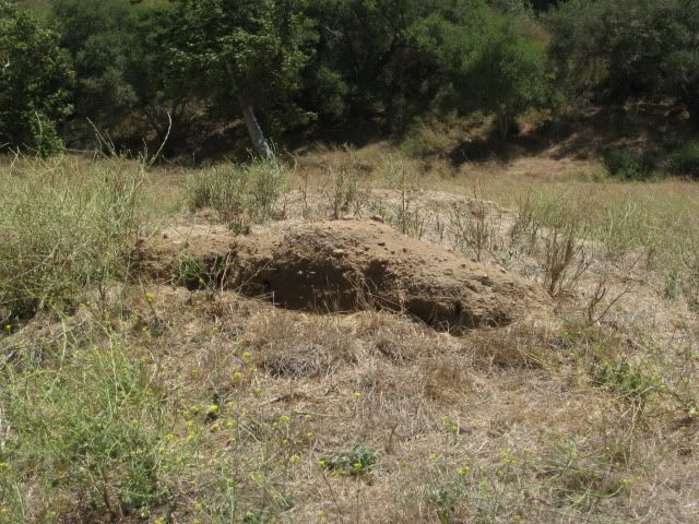
Here are some photos of the picnic area, creek there, and mission, from July 2011:
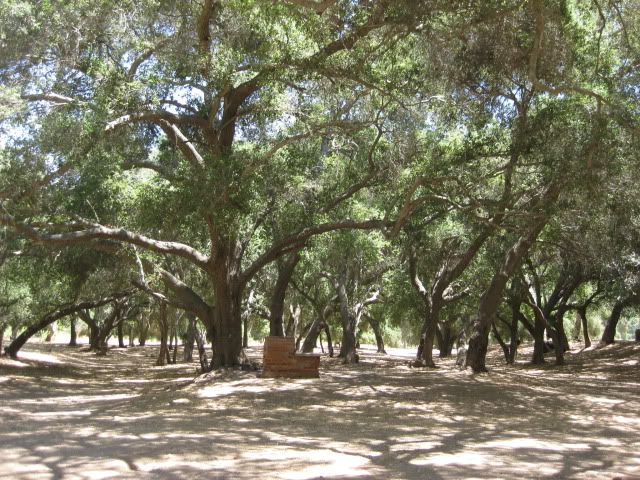

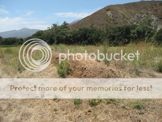
The mission ruins from 1791.


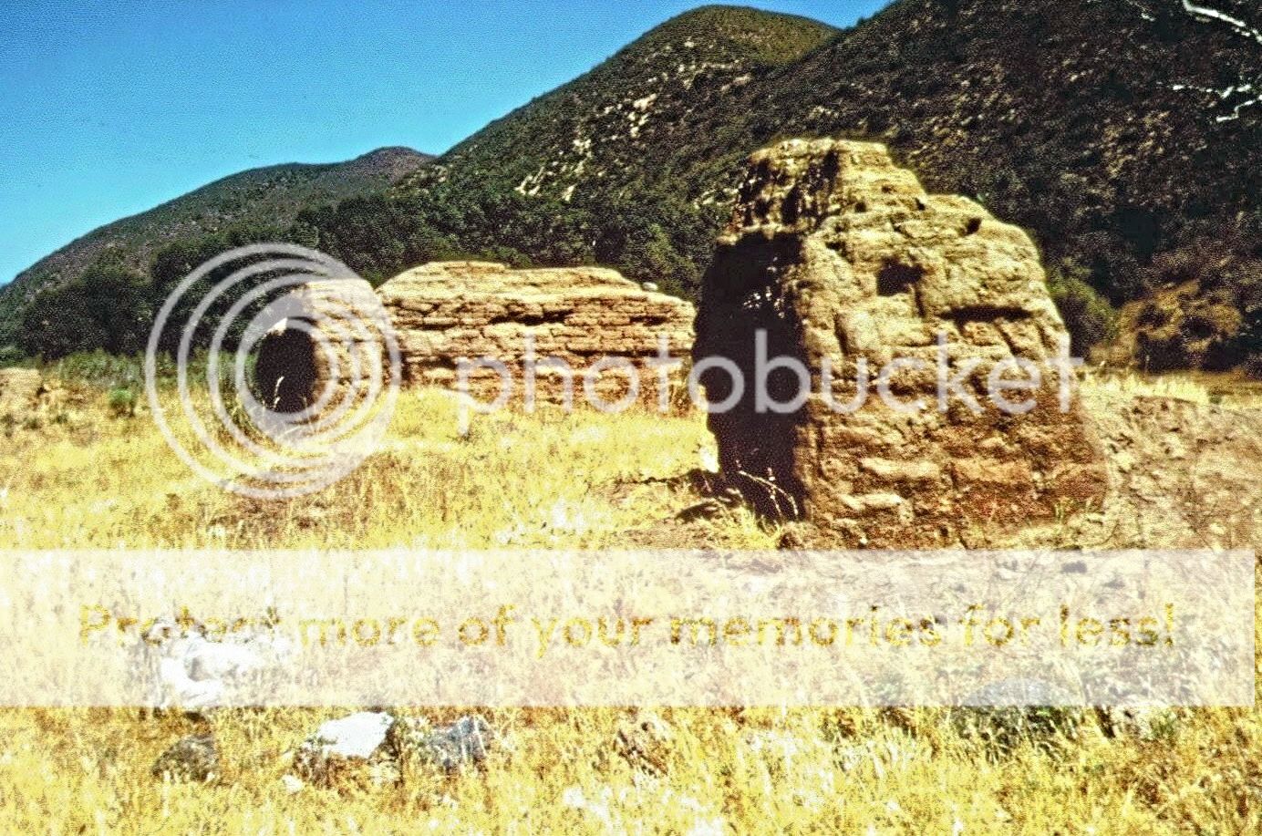
Here they were in 1975 (academicanachist photo):
and in 1967 (Michael Mathes photo):
|
|
|
gueribo
Nomad
Posts: 458
Registered: 10-16-2014
Member Is Offline
|
|

|
|
|
thebajarunner
Ultra Nomad
Posts: 3687
Registered: 9-8-2003
Location: Arizona....."Free at last from crumbling Cali
Member Is Offline
Mood: muy amable
|
|
Yeah, the pix show why the loss of this quiet campground is so sad.
And, contrary to some reports, there has been water in the stream in several of the past years, generally early March
In fact one year we had to leave boat trailers on the far side, they would not likely have made it across the stream.
|
|
|
David K
Honored Nomad
Posts: 64493
Registered: 8-30-2002
Location: San Diego County
Member Is Offline
Mood: Have Baja Fever
|
|
Every time I pass a mission site and don't go in for a fresh look, I worry if it may vanish or be fenced off when I want to see it again?
My photos above are from July 4th weekend in 2011. While I have driven by (well on Hwy. 1, 3.9 miles away) dozens of times since 2011, never had a new
need to pop in and check on those 'stumps' of adobe from 1791-1794. They (and the picnic area) haven't changed too much since my first visit in 2005:
|
|
|