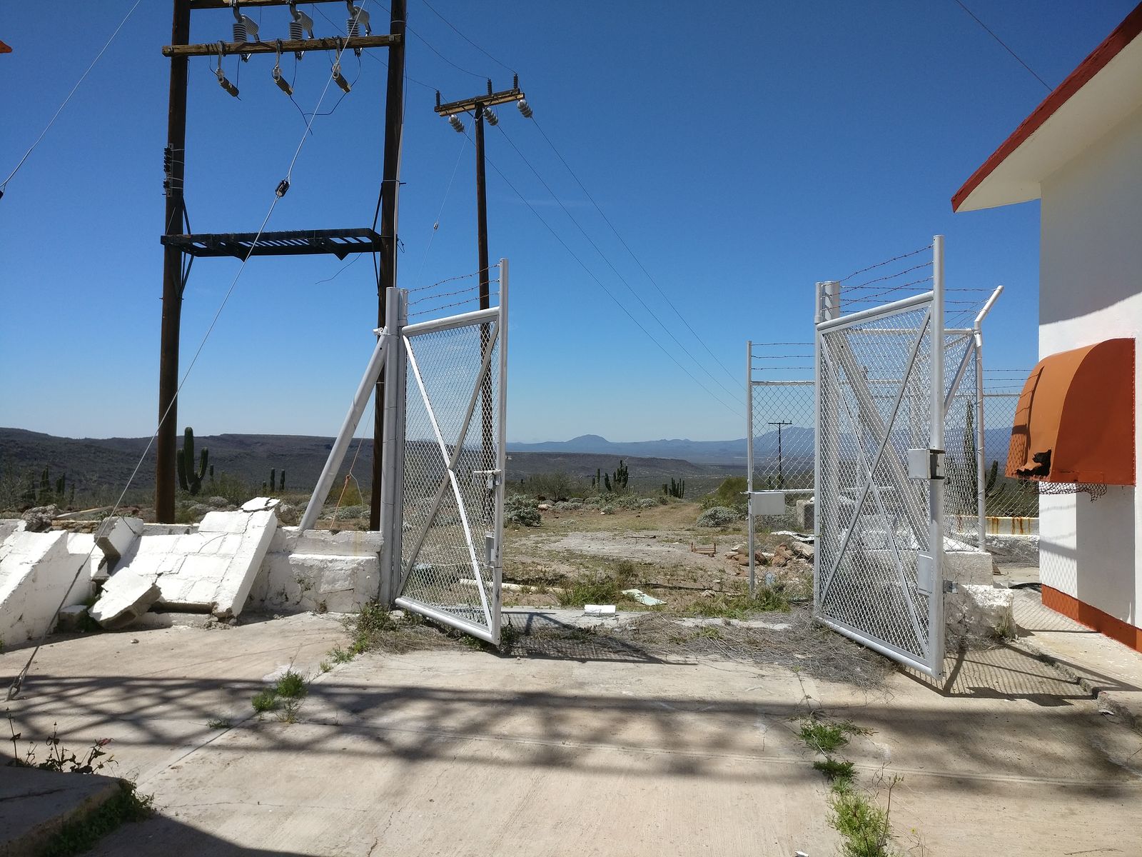
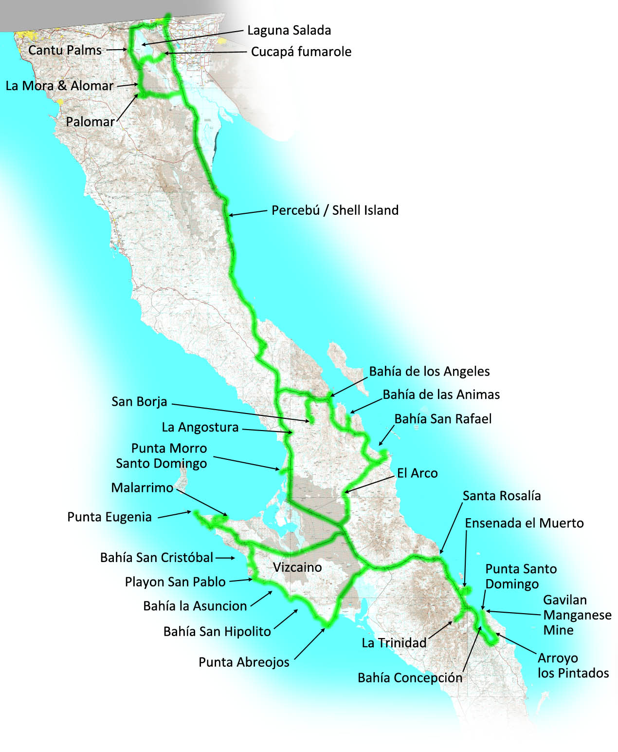
My Baja road trip last year ended up being a bit unsatisfying, so I was excited for the opportunity to get back down to the desert this past month!
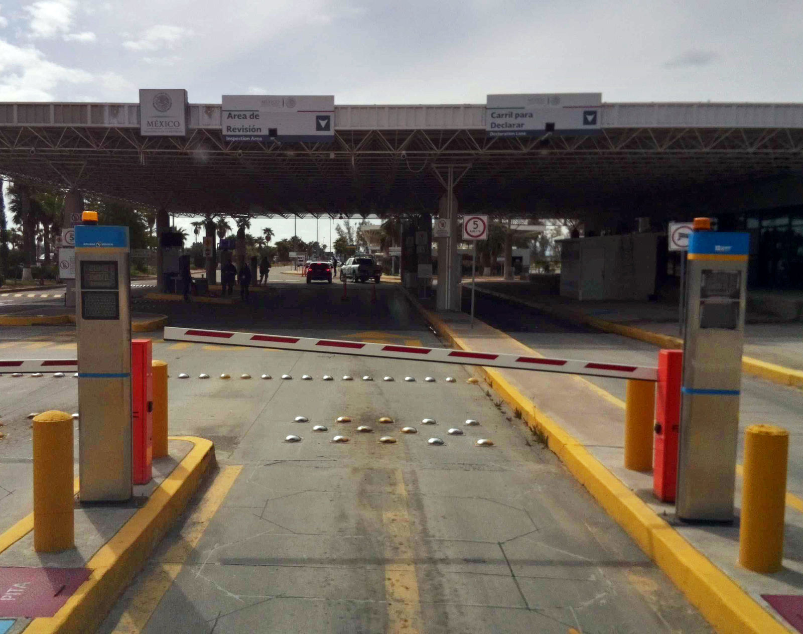
Entering via the Mexicali East border crossing, my van was briefly searched, complete with scent-sniffing dog. Any idea what they were looking for
entering Mexico? Who smuggles drugs into Mexico?
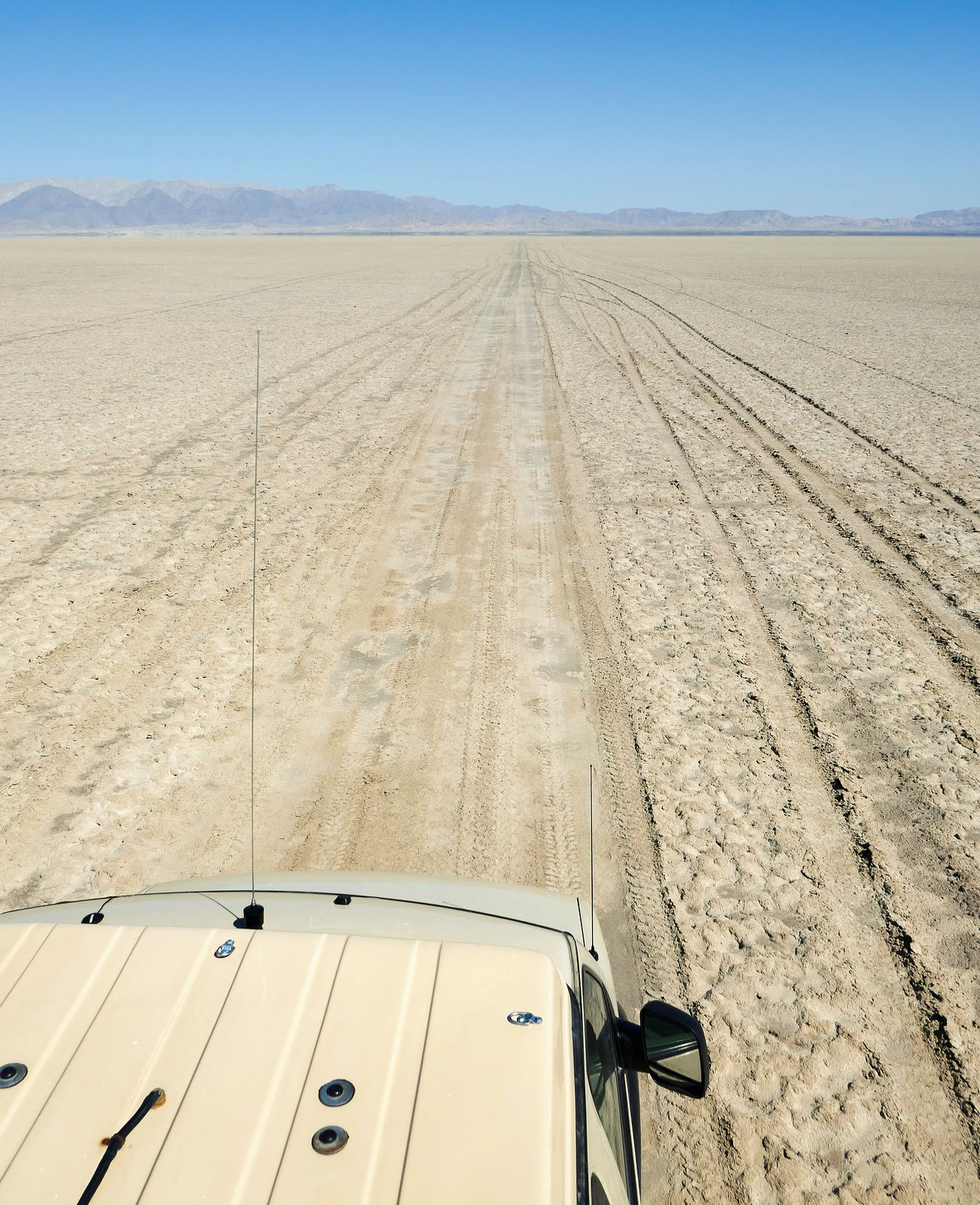
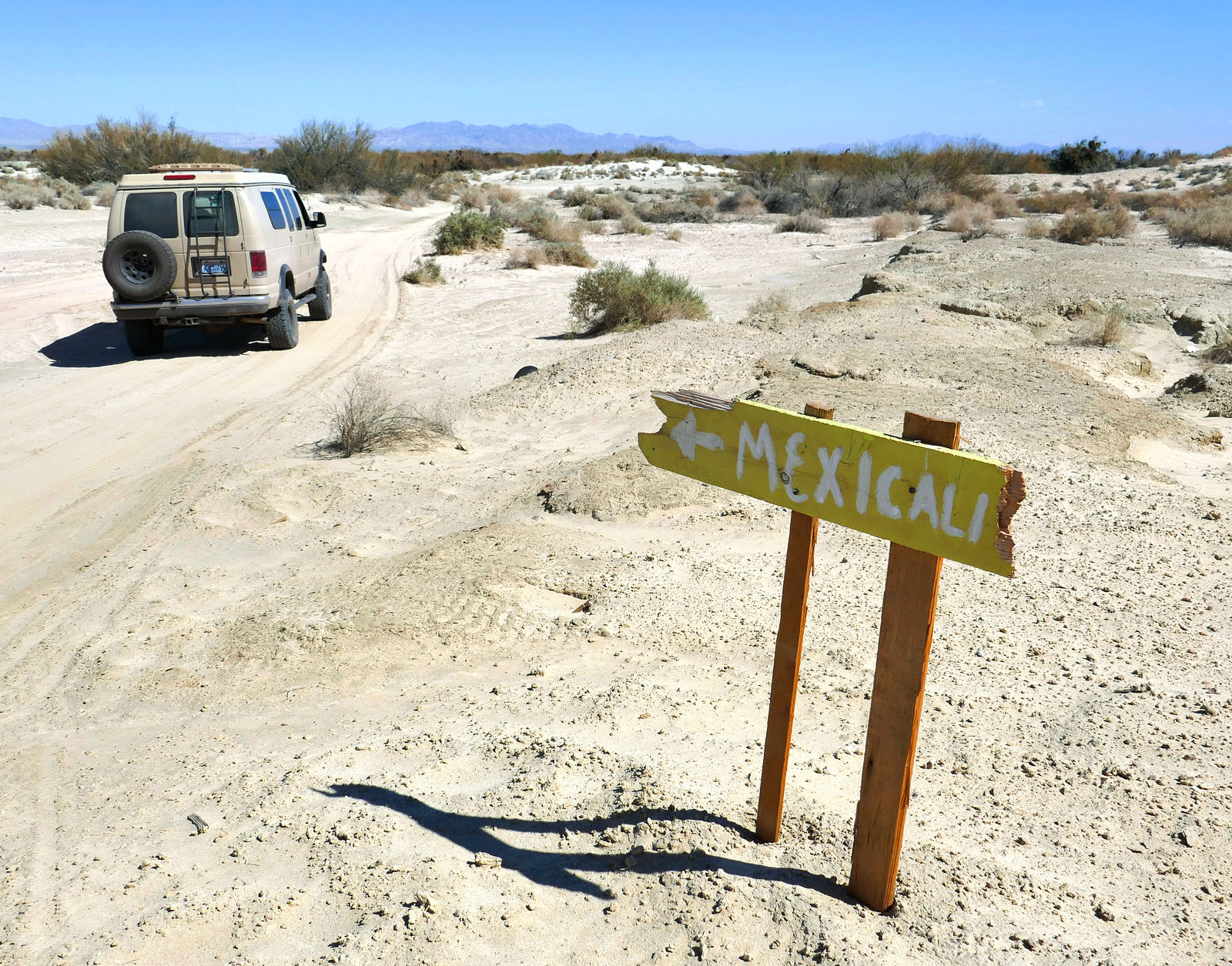
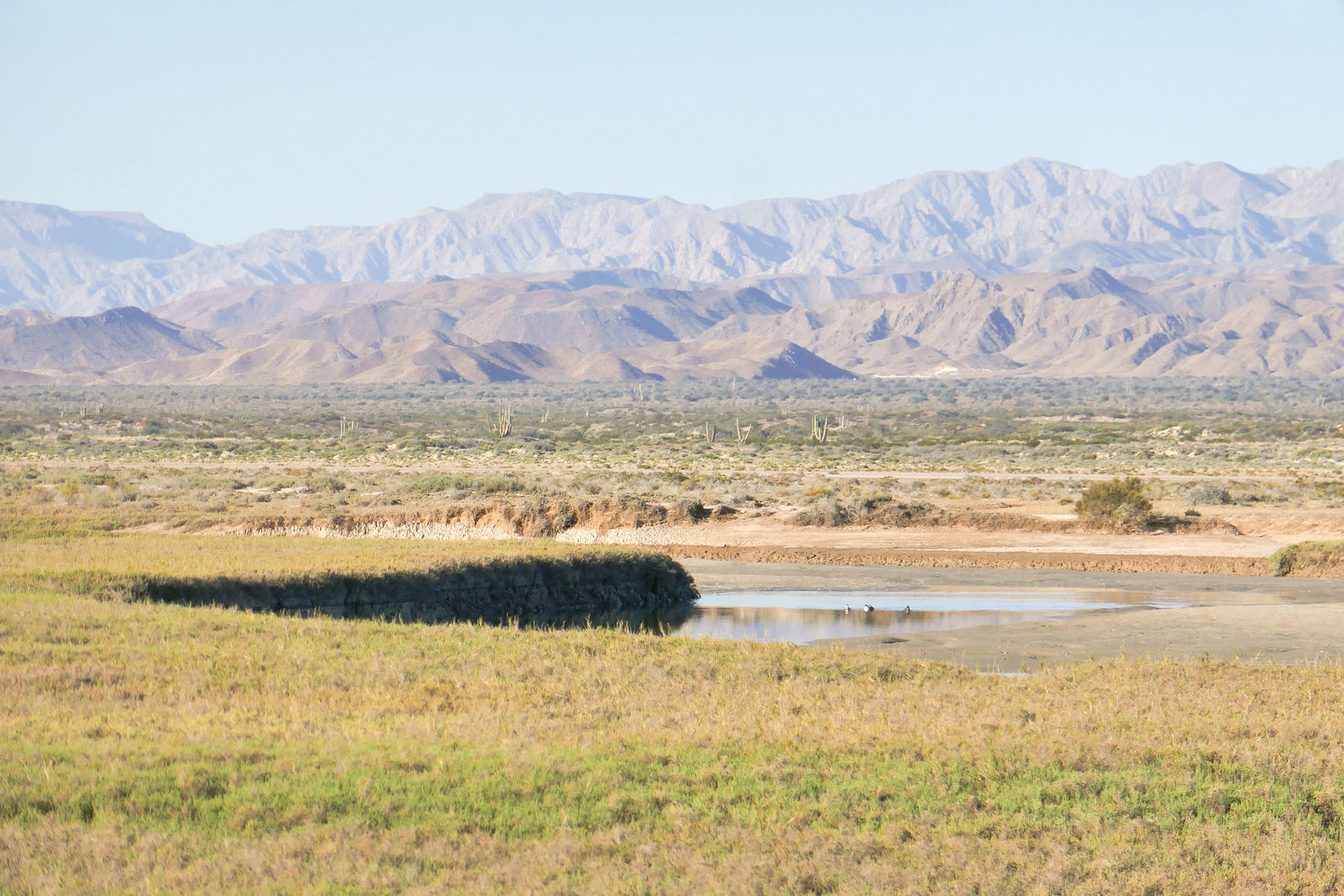
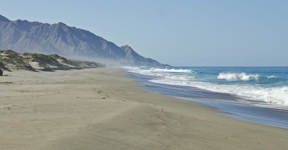
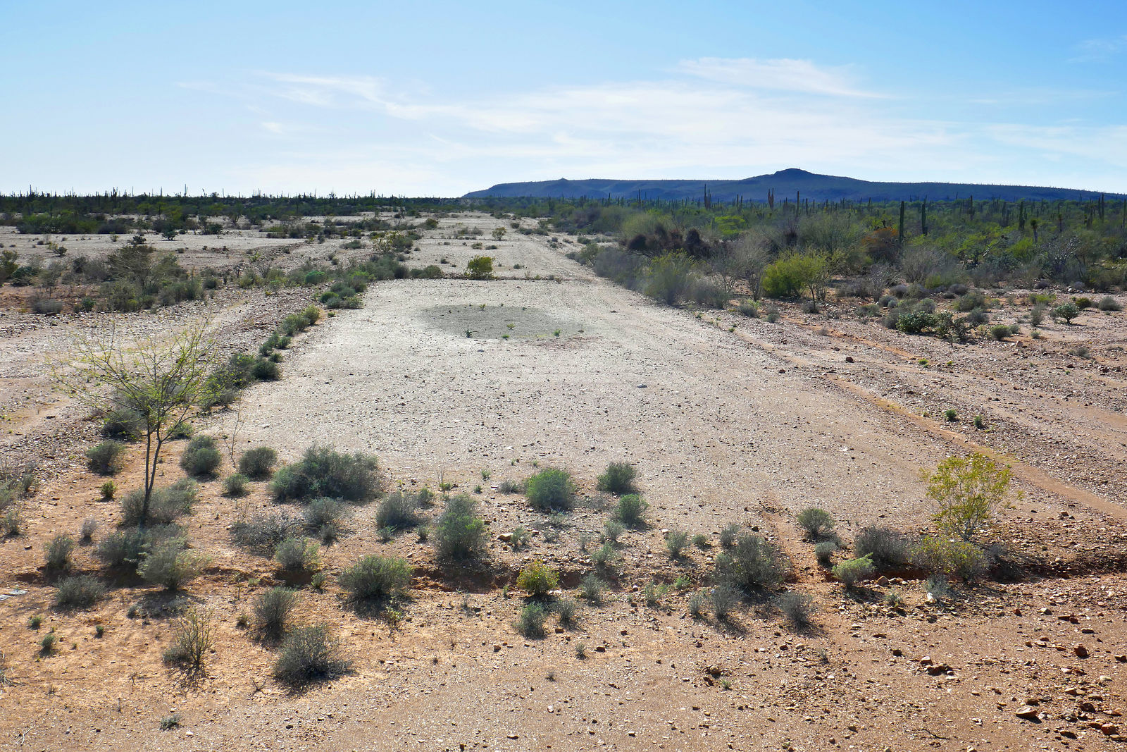
I started with Laguna Salada. Here I am at the Highway 2 entrance to the dry lakebed, enjoying the shade of one these fat red pillars while I air down
my tires. I suppose they're so big in order to be seen from a distance when lost out on the playa, but I like to think of them as the entrance gate
remains of some long-gone lakebed tourist resort. (GPS:32.5698,-115.7899)
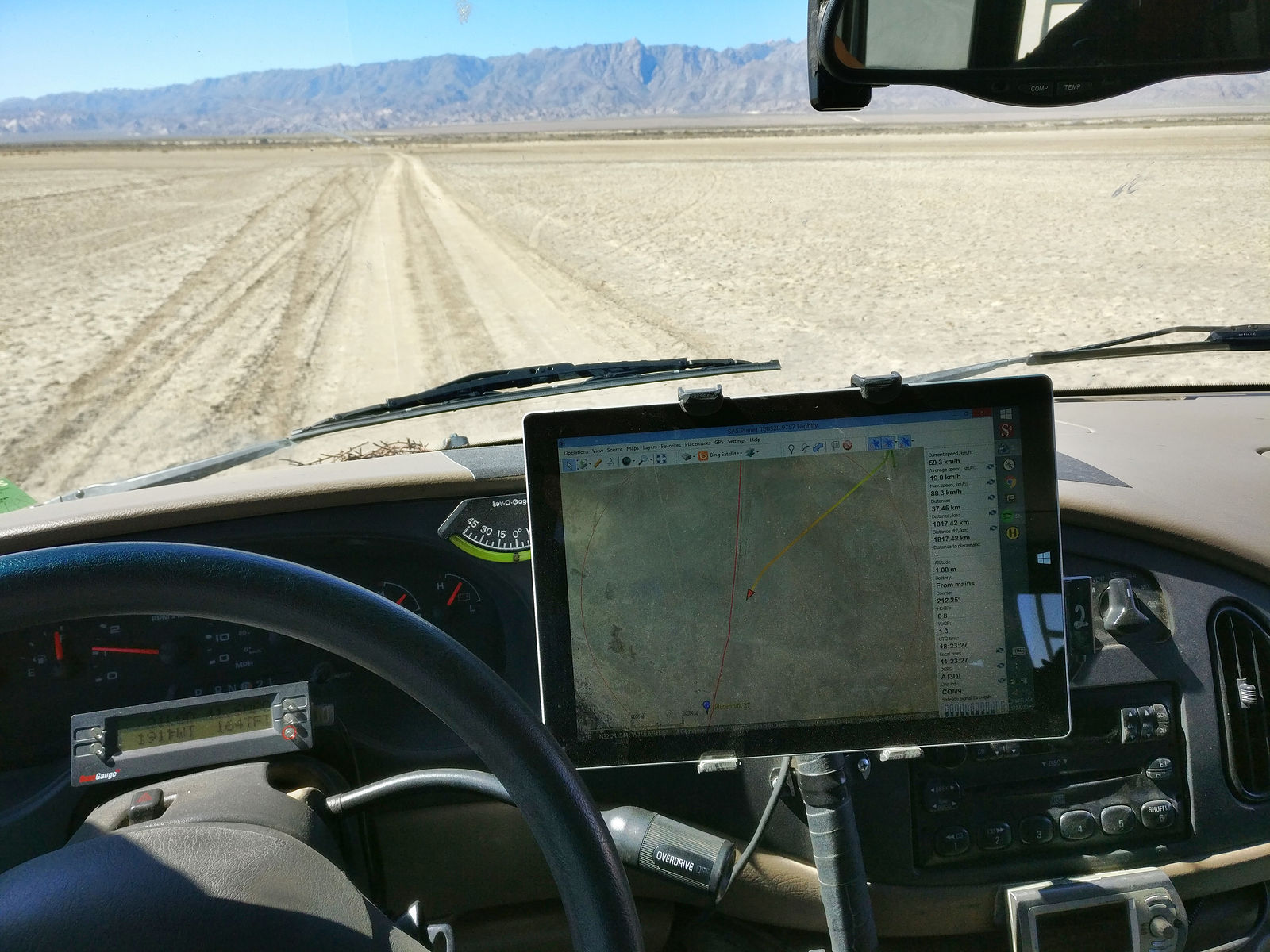
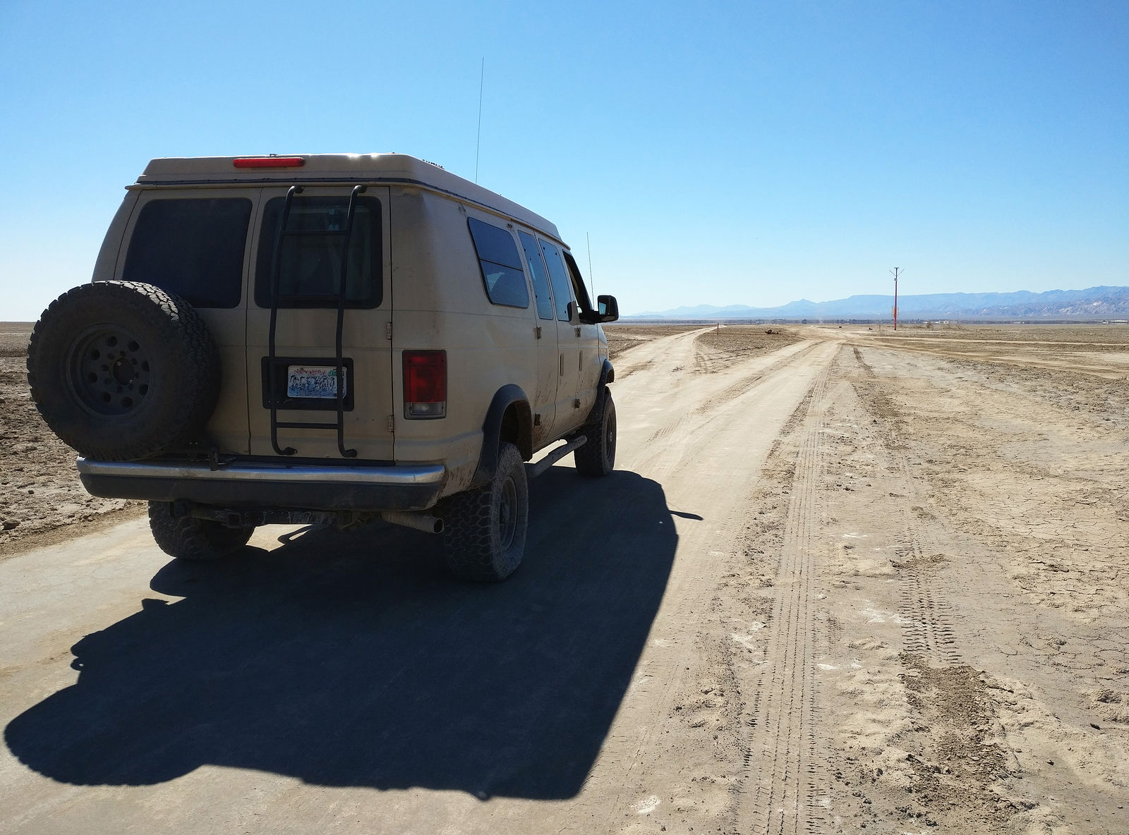
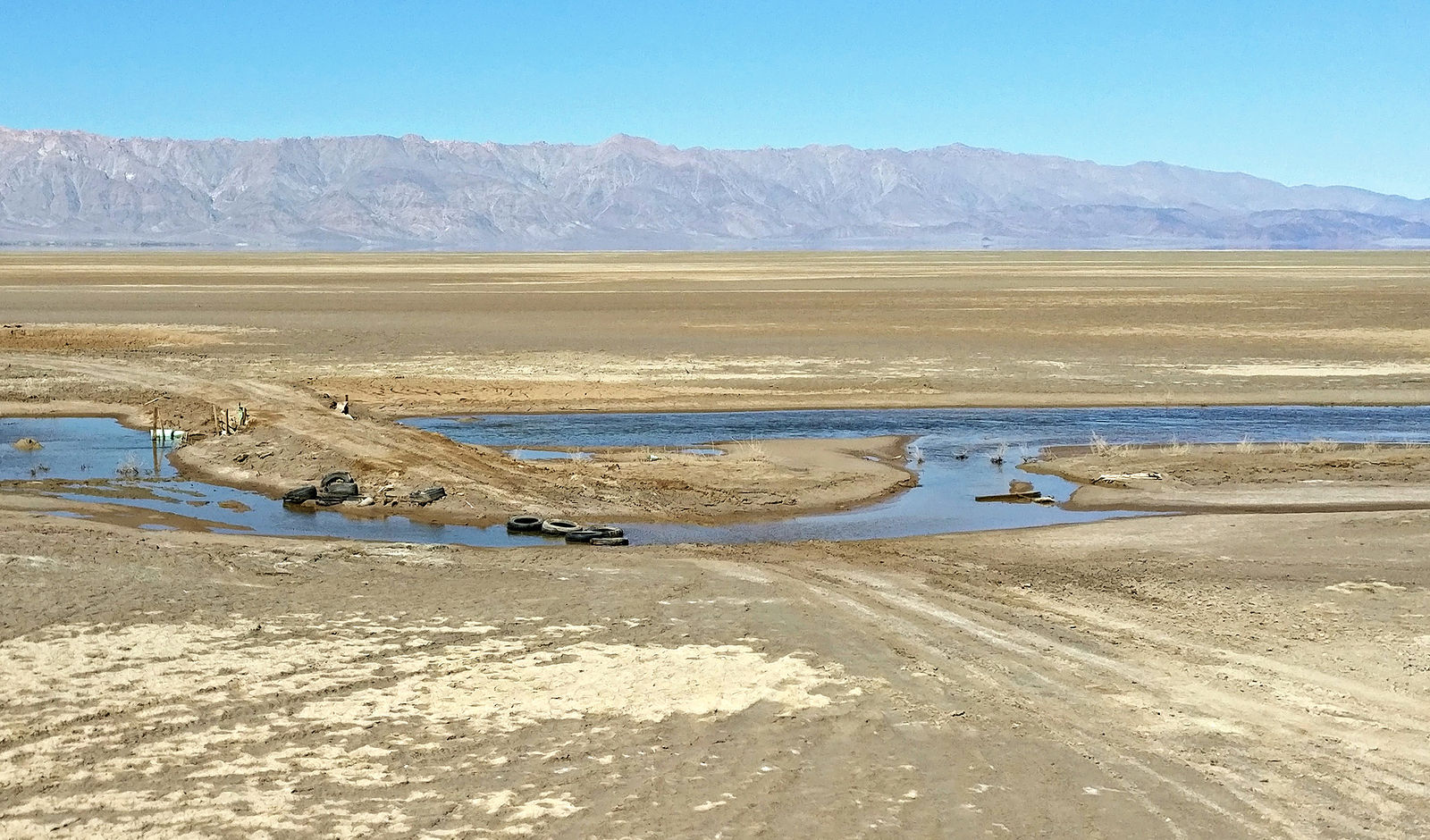
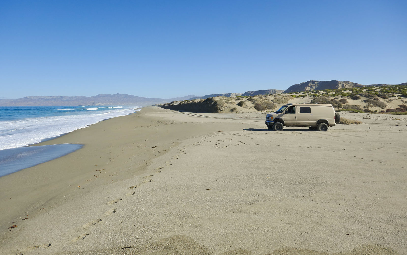
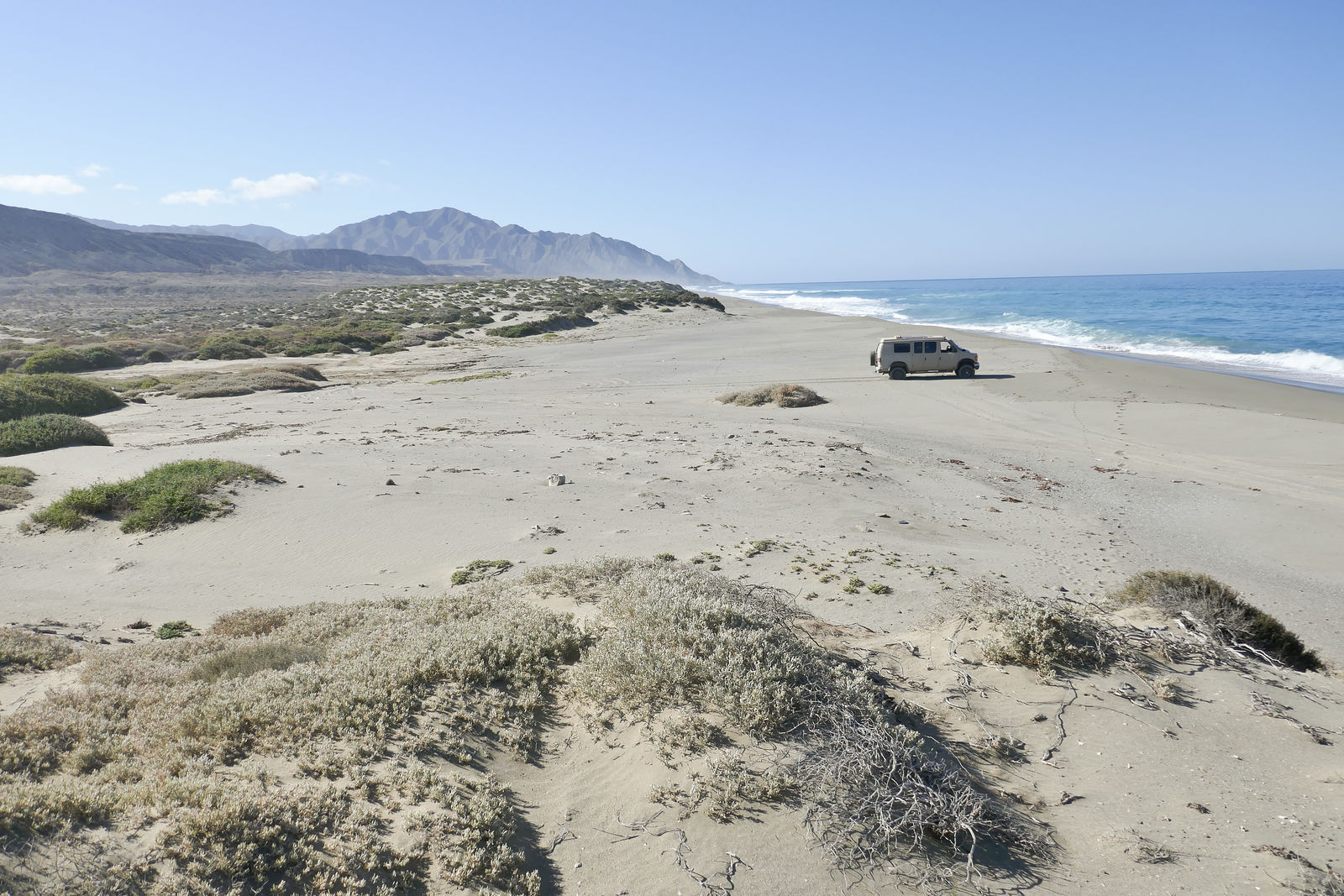
Driving on the lakebed. I was afraid recent rains would make it impassably muddy, but it wasn't bad. Still, I learned it was best to stay on existing
tire tracks where the dirt has been compacted.
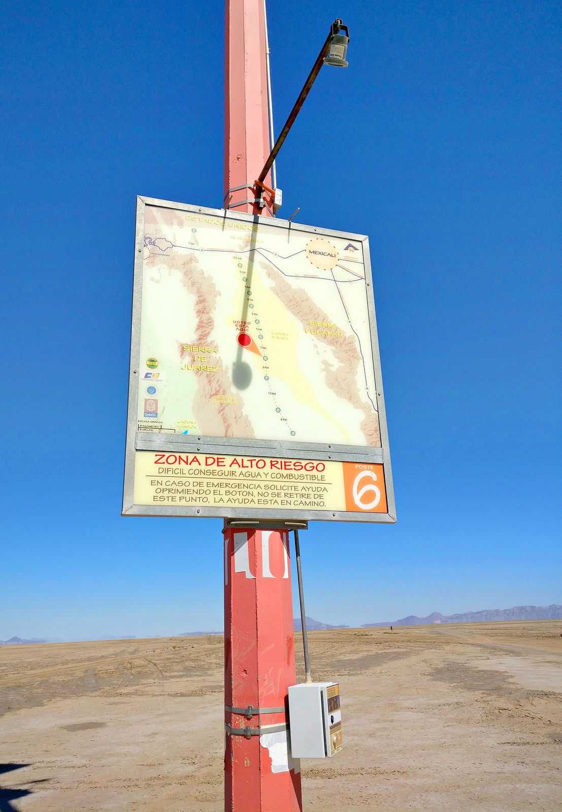
I ran across this red mast way out in there flatness. It turned out to be some kind of safety beacon with a map, emergency call box, and a cache of
water! Wow, very thoughtful! (GPS:32.2653,-115.6660)
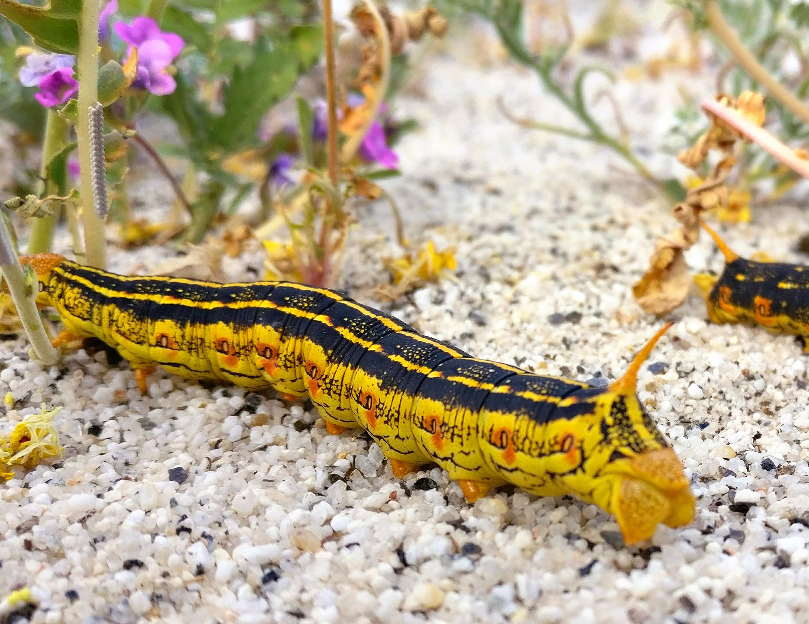
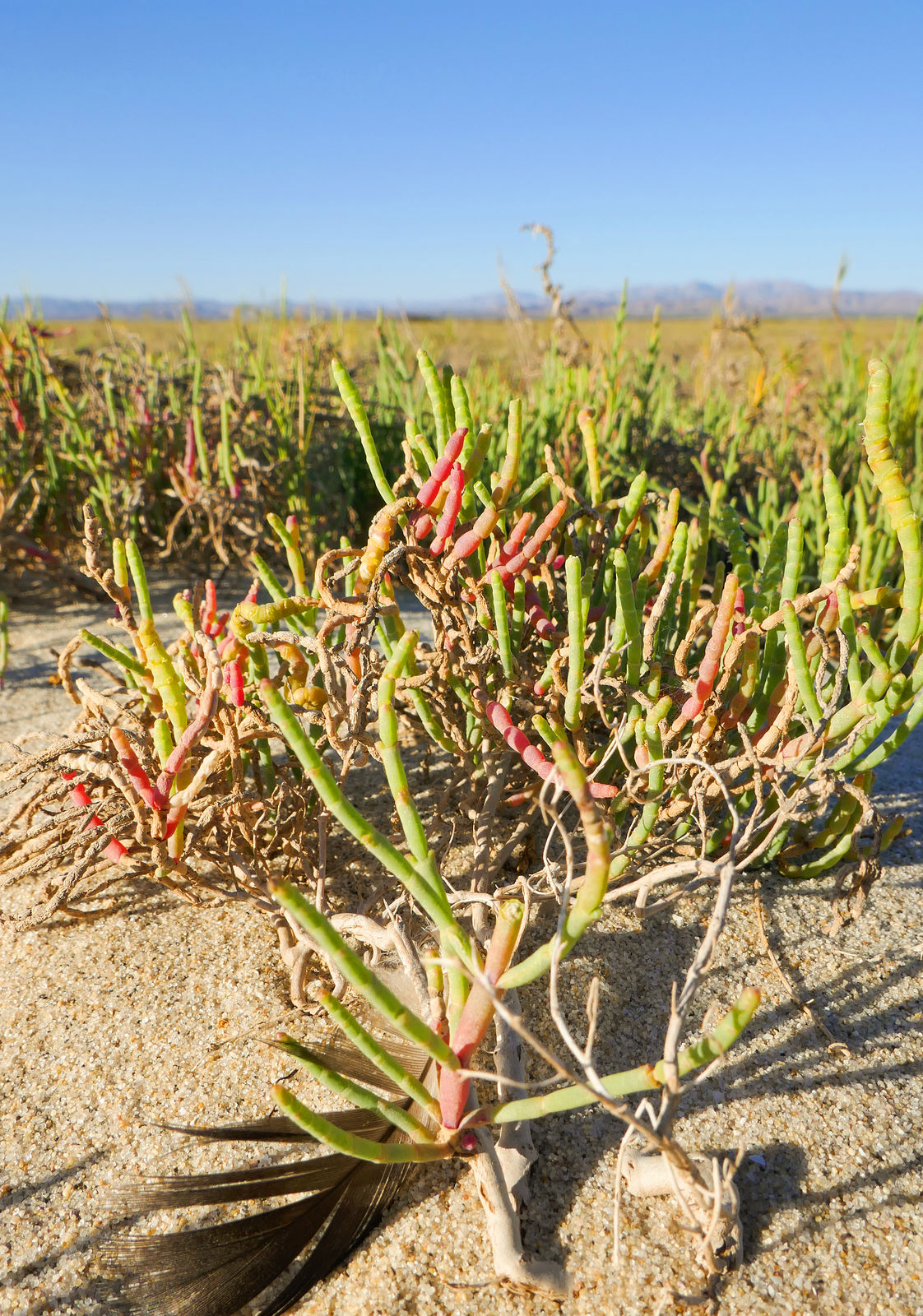
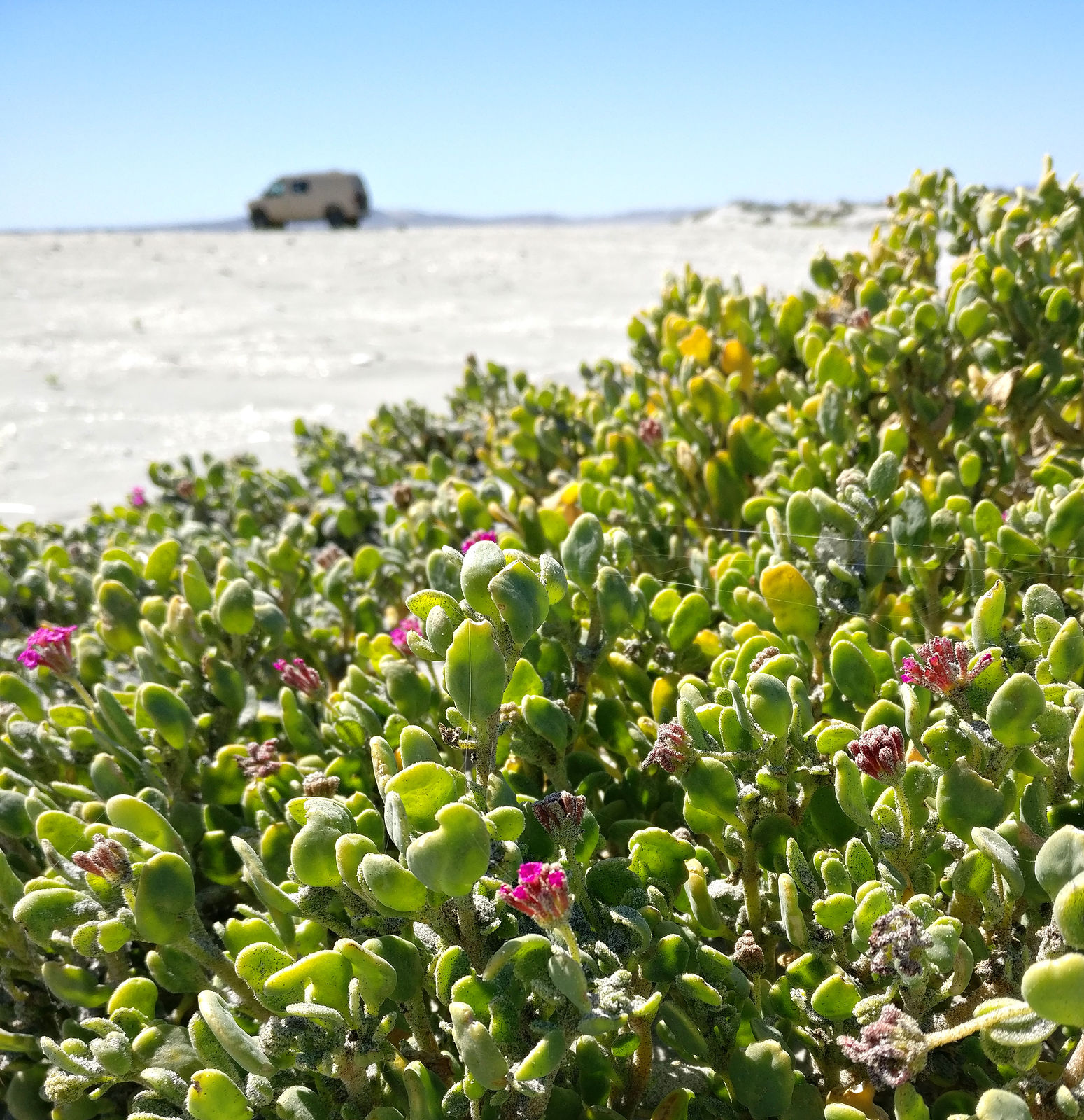
At some point I climbed a little dune on the west side of Laguna Salada and stopped there for lunch. I was sitting in the sand, munching my sandwich
while enjoying the view and appreciating all the little magenta flowers surrounding me, when I noticed the plants were all wriggling!
I took a closer look. No, not the plants themselves, but caterpillars! There must have thousands! Several clung to each plant, and they were all
munching away. There were at least 20 just within my arms' reach. Some big and fat, some tiny. At least one had been squished under my butt.
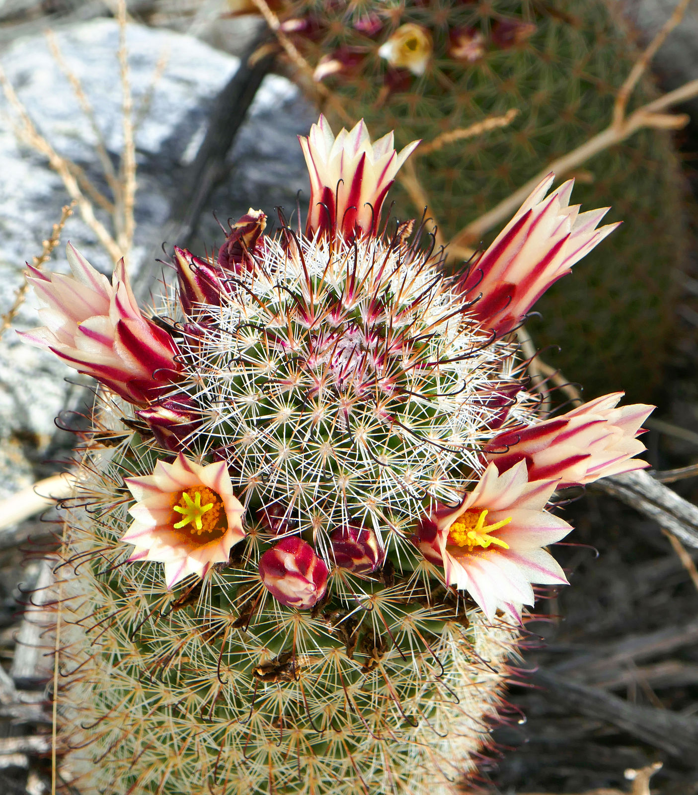
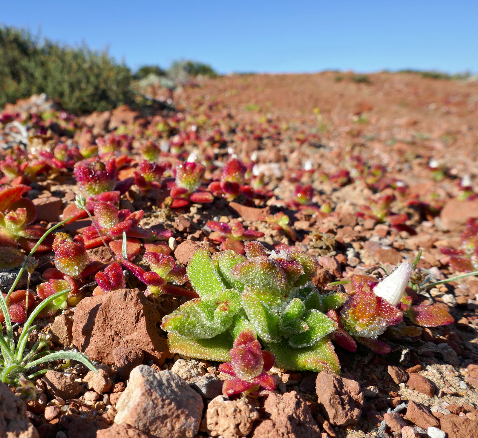
Cactus blooms.
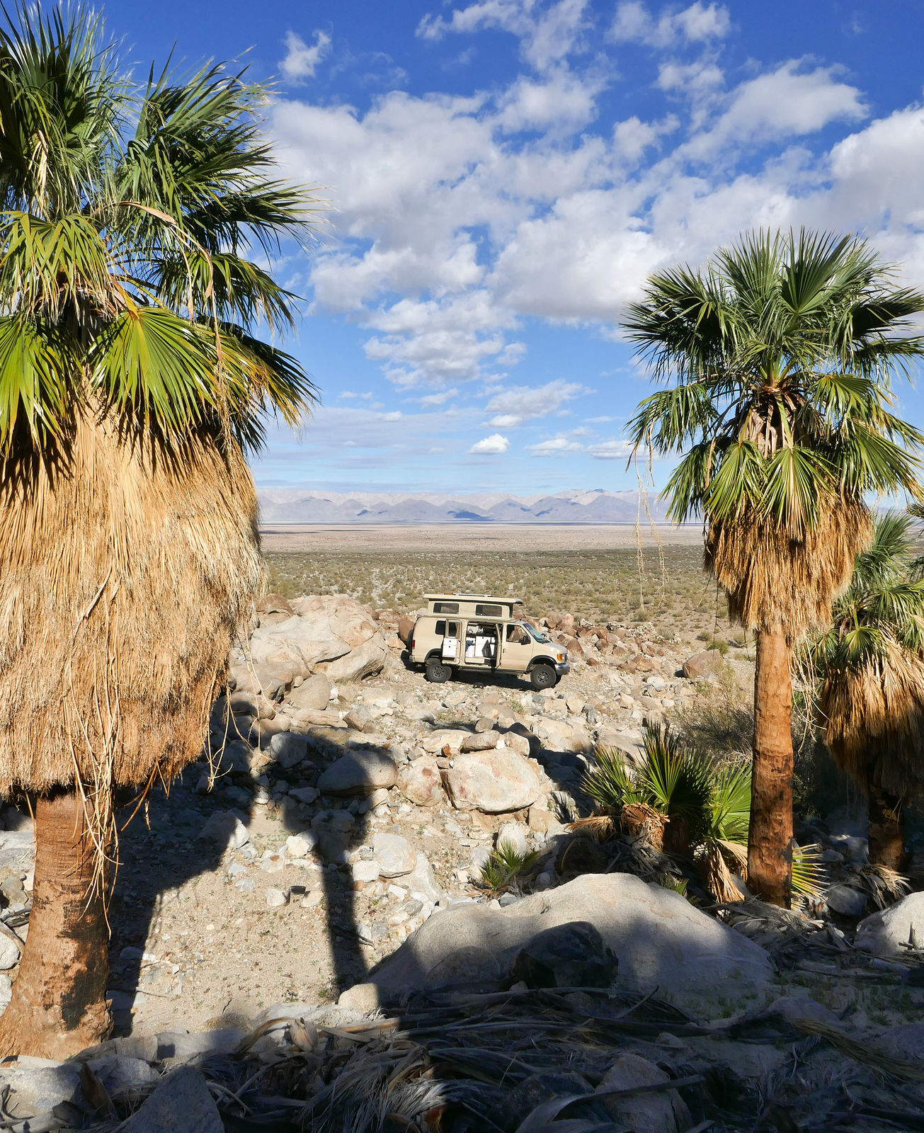
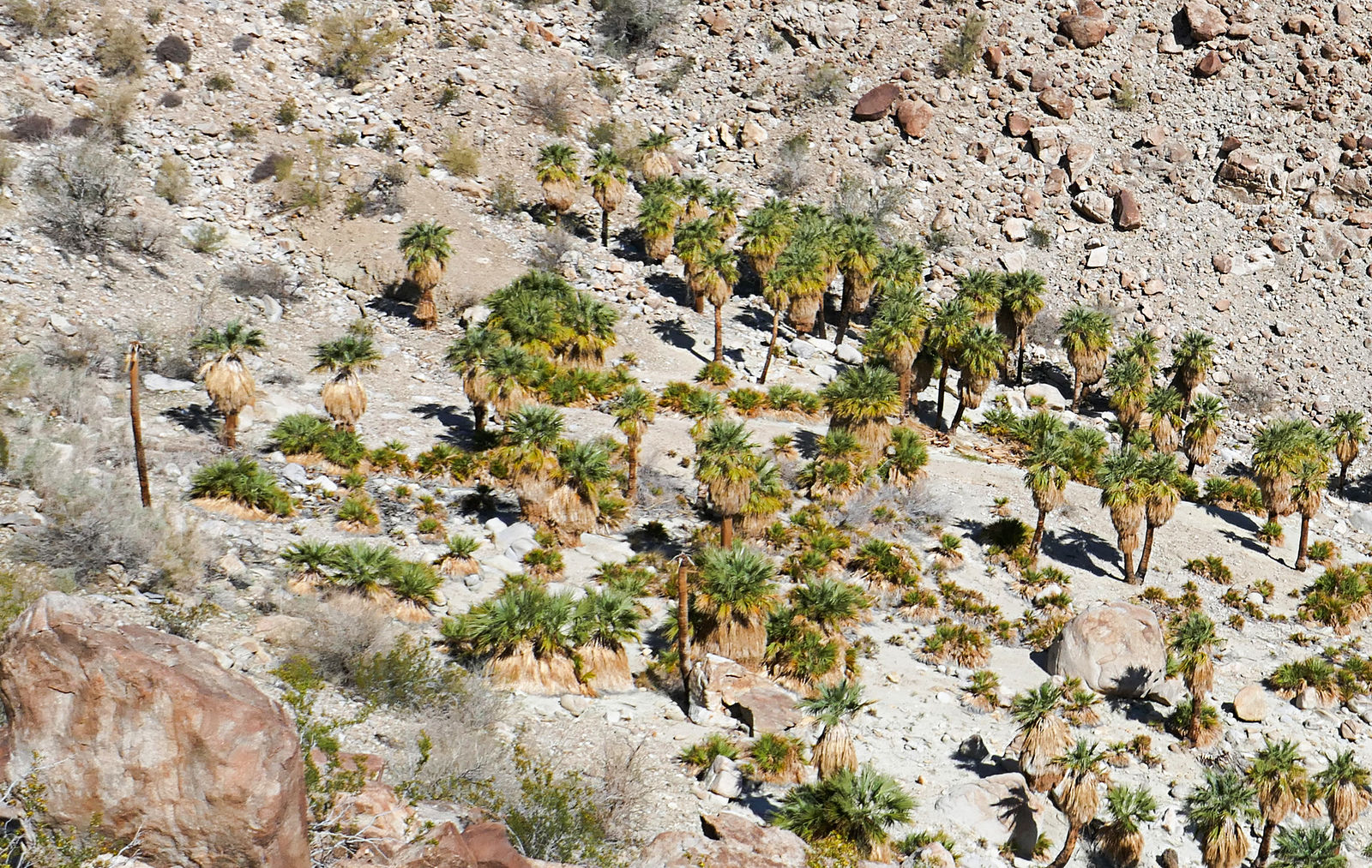
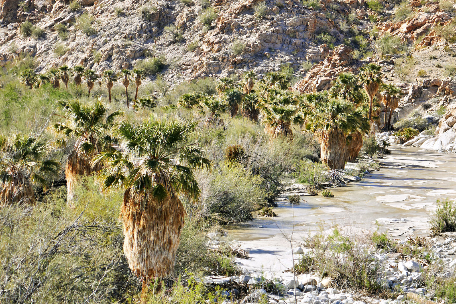
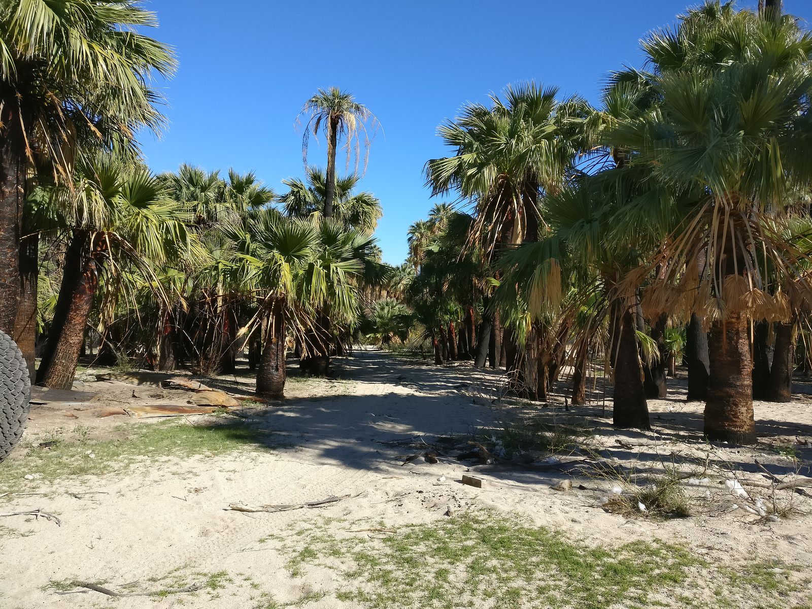
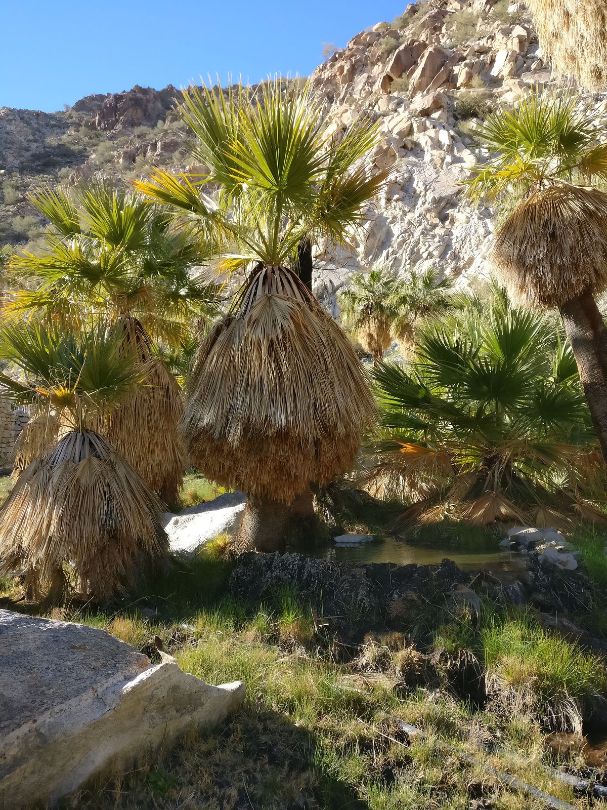
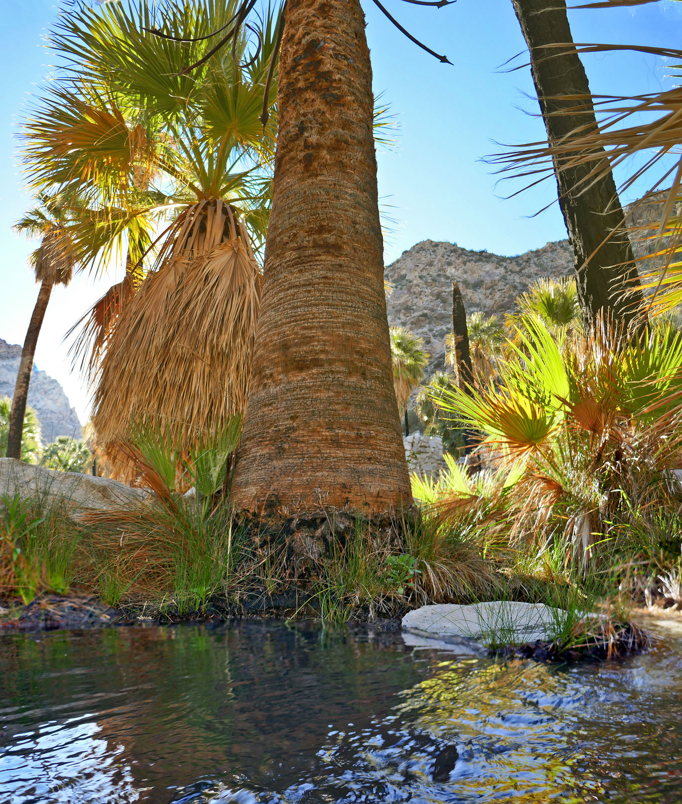
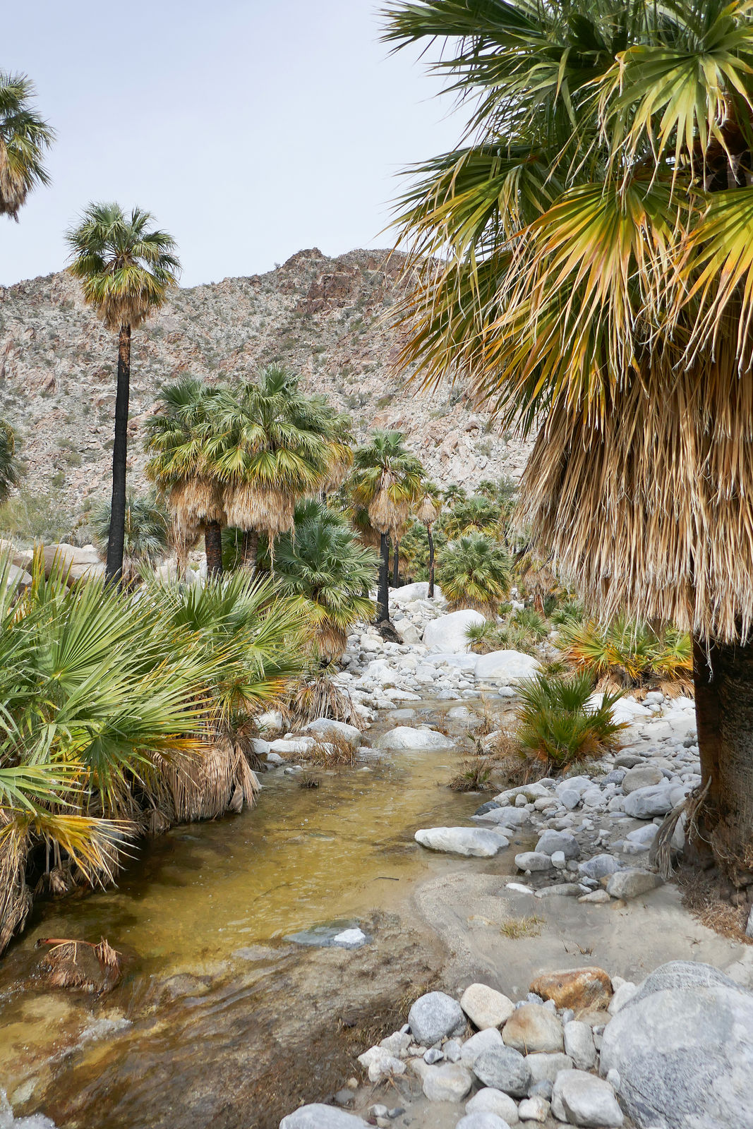
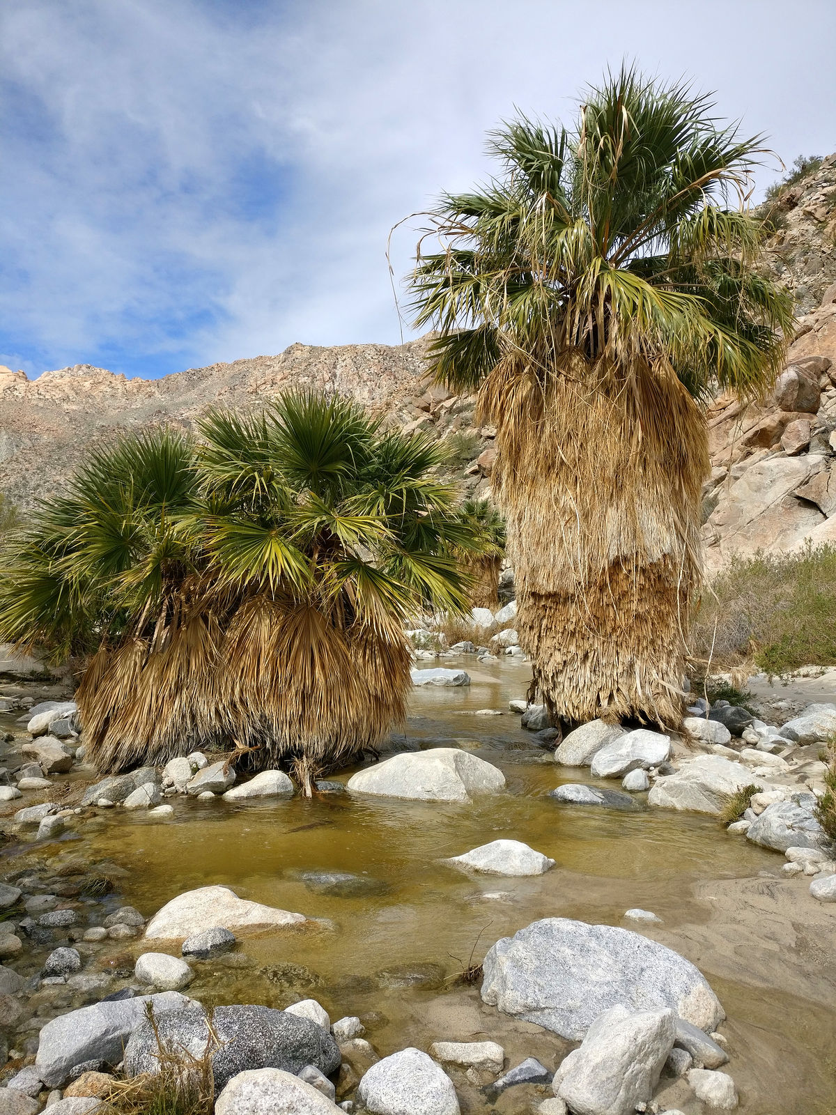
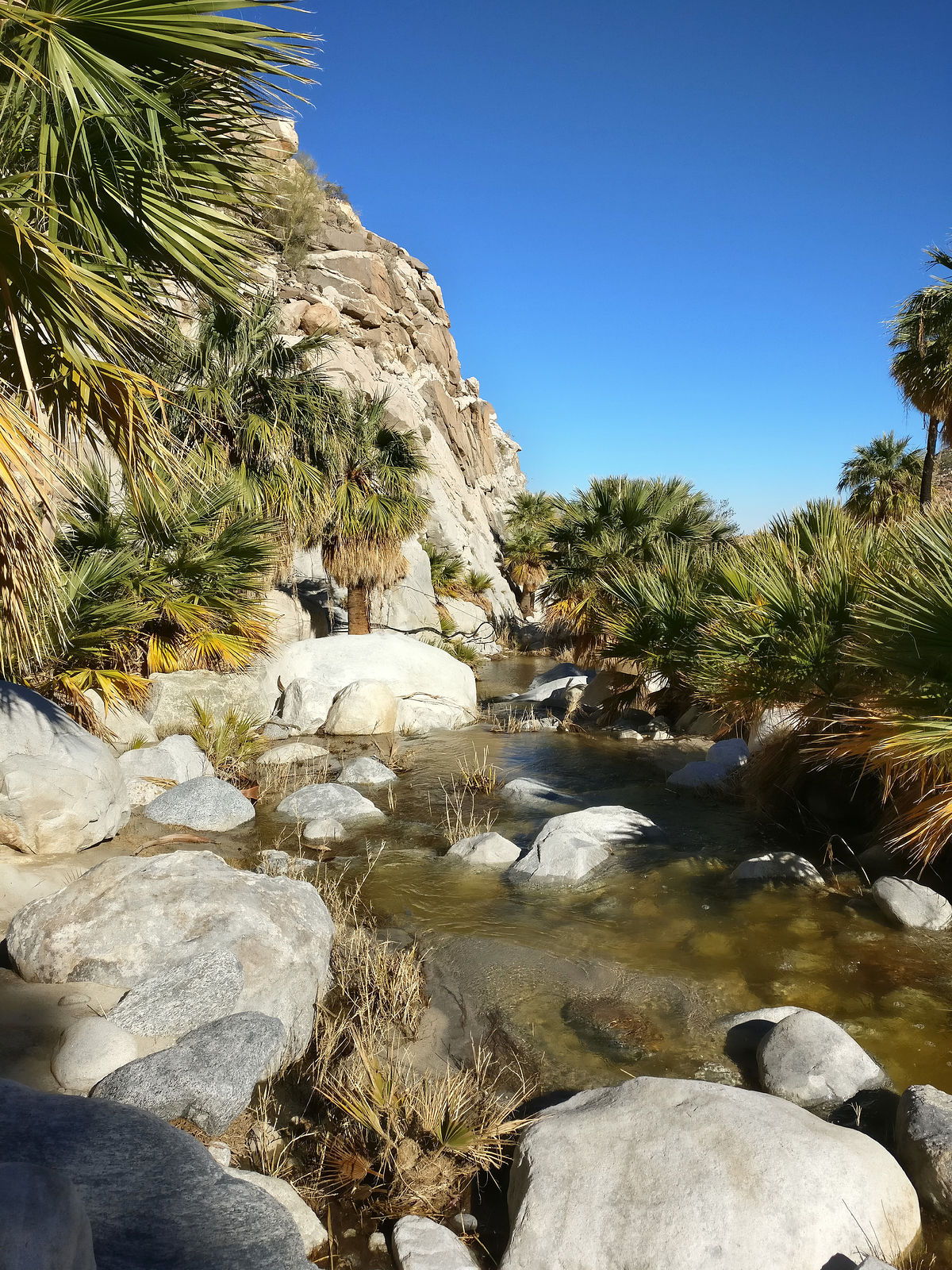
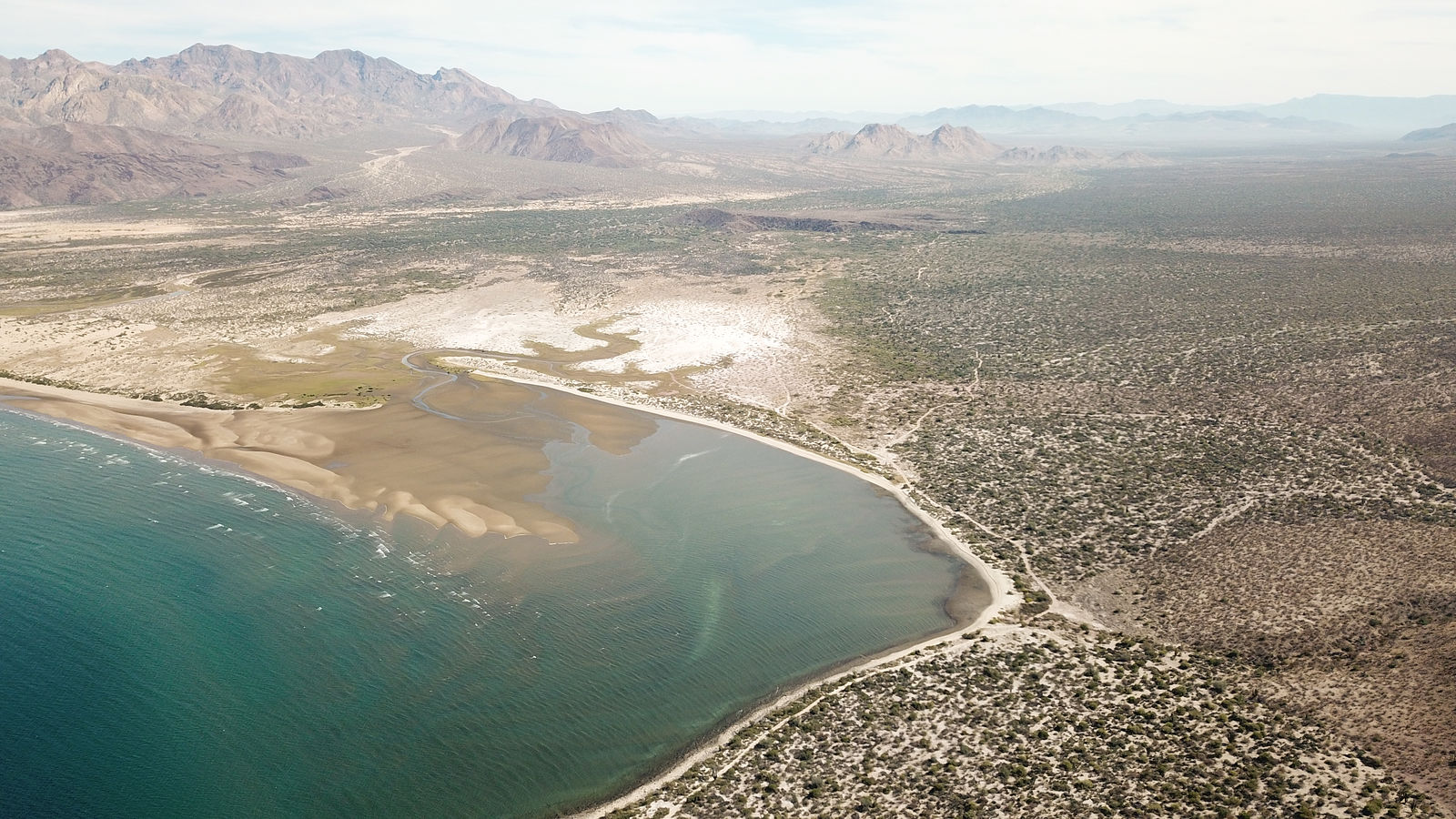
Cantu Palms
West side of Laguna Salada (GPS:32.3517,-115.8275)
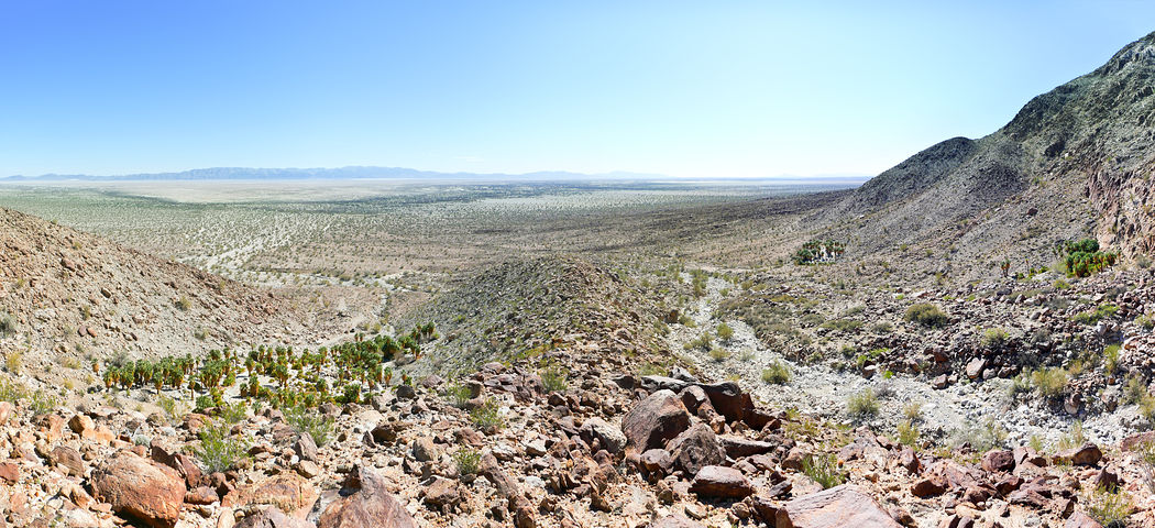
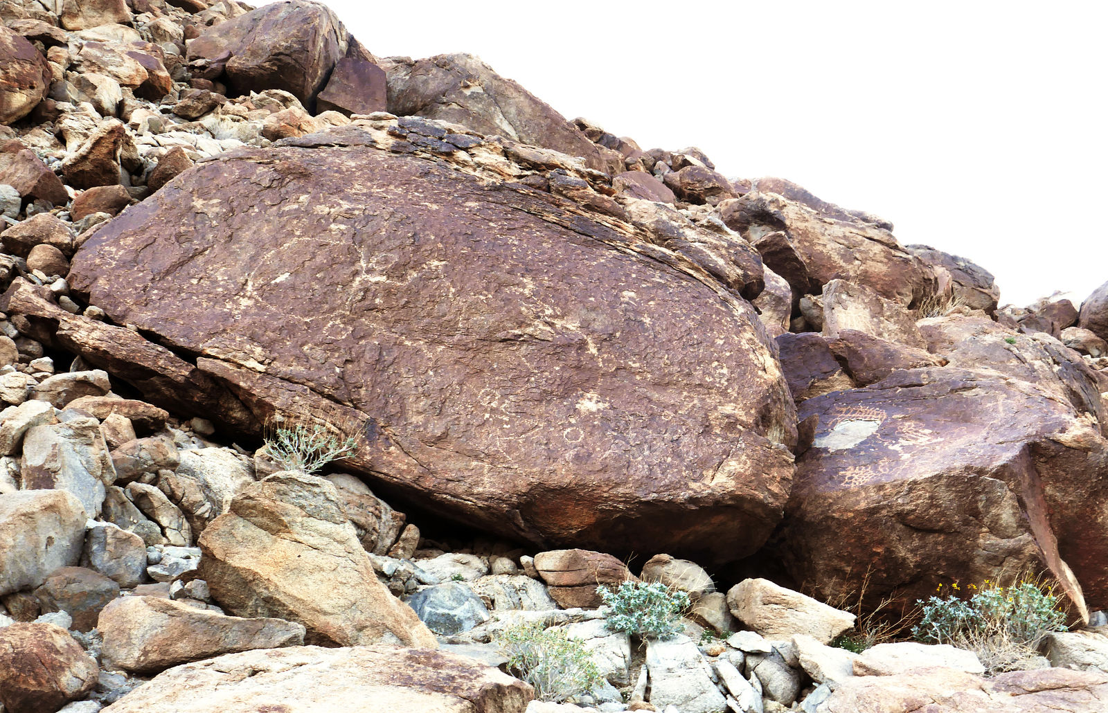
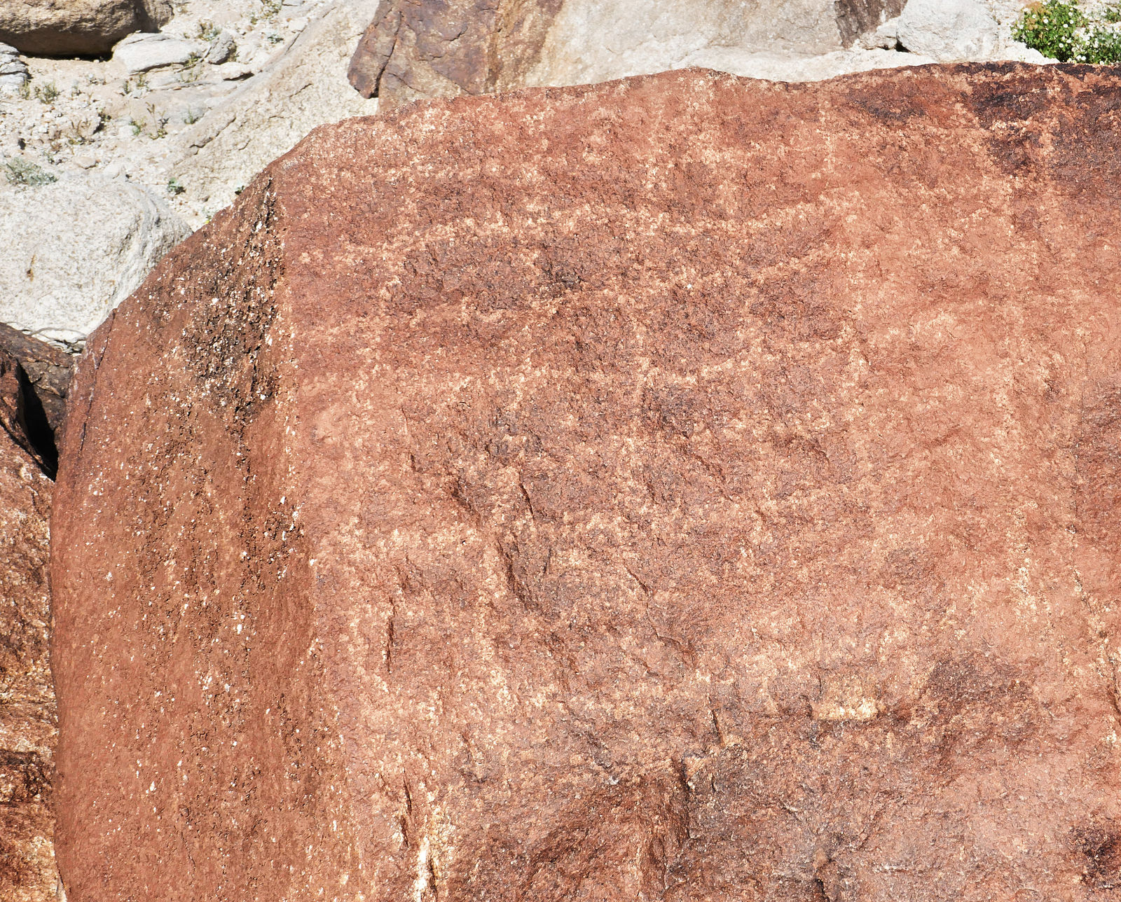
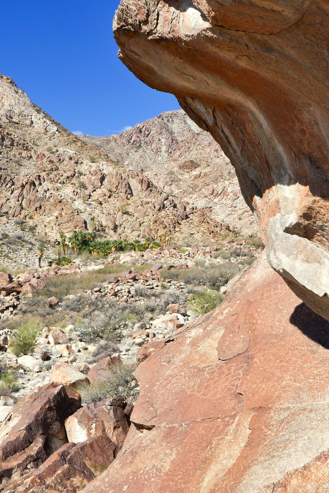
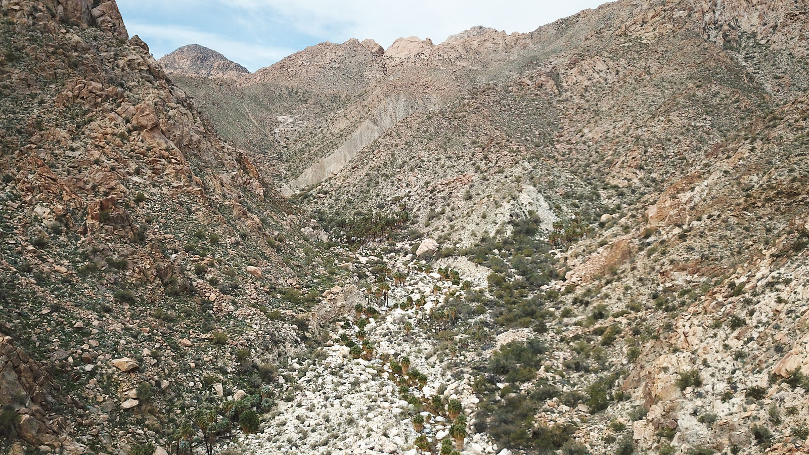
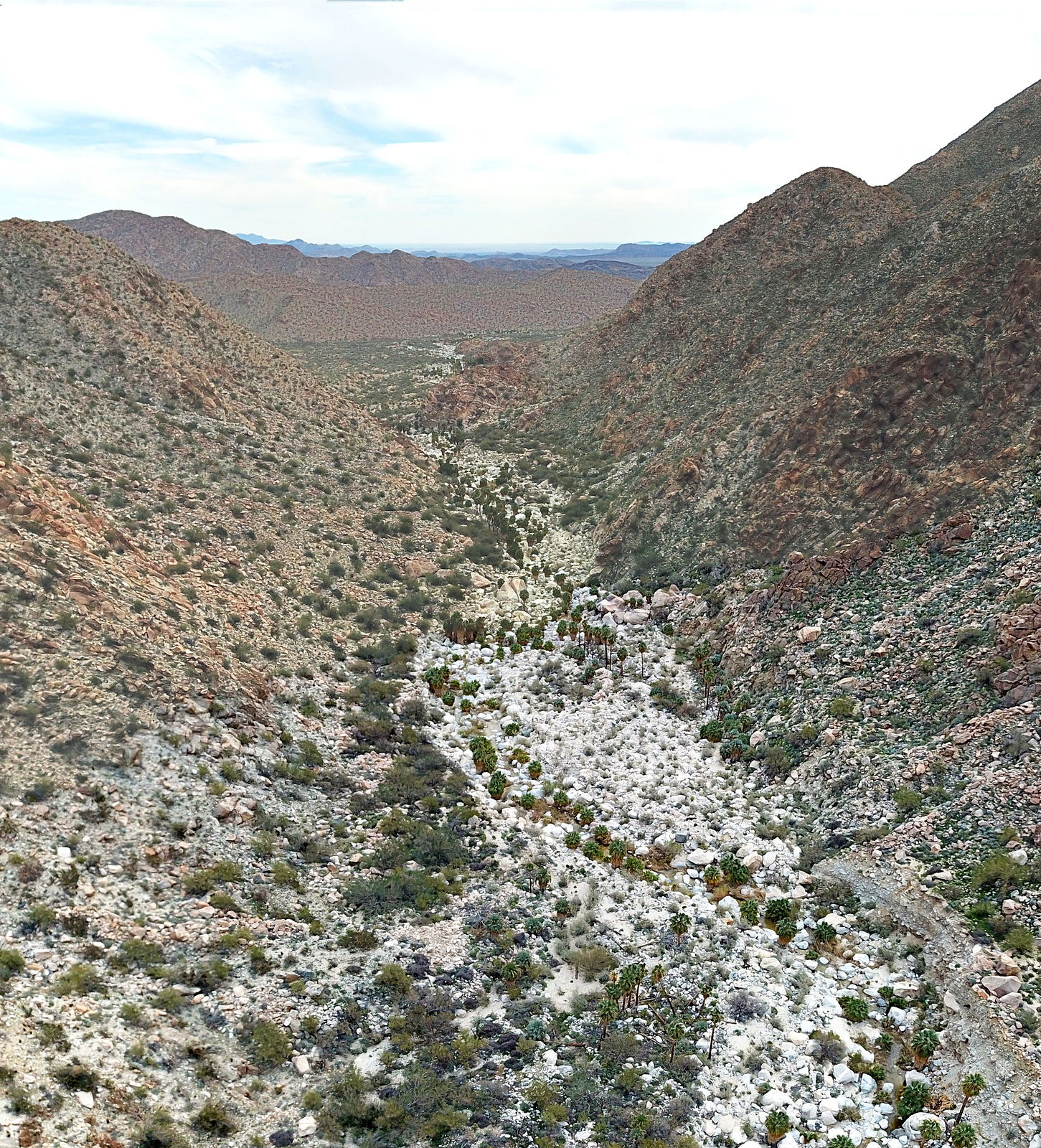
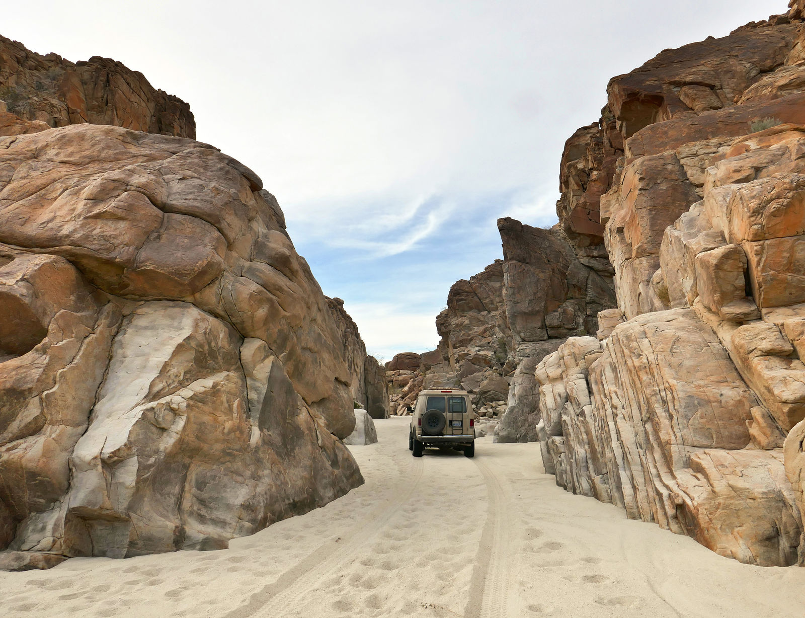
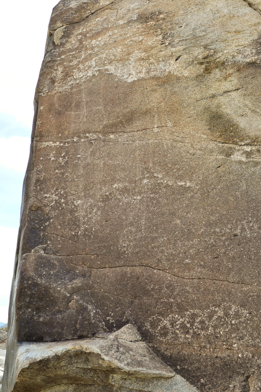
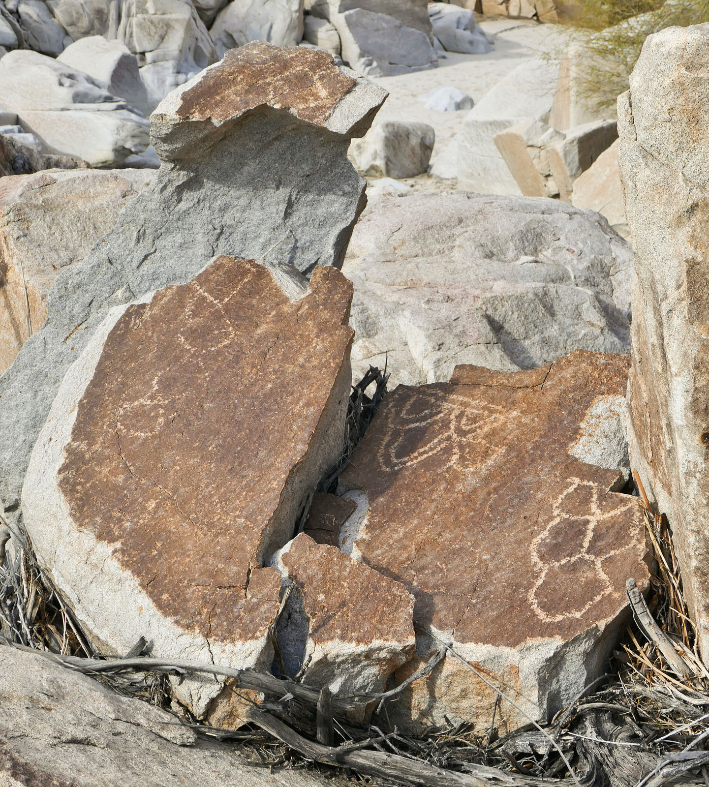
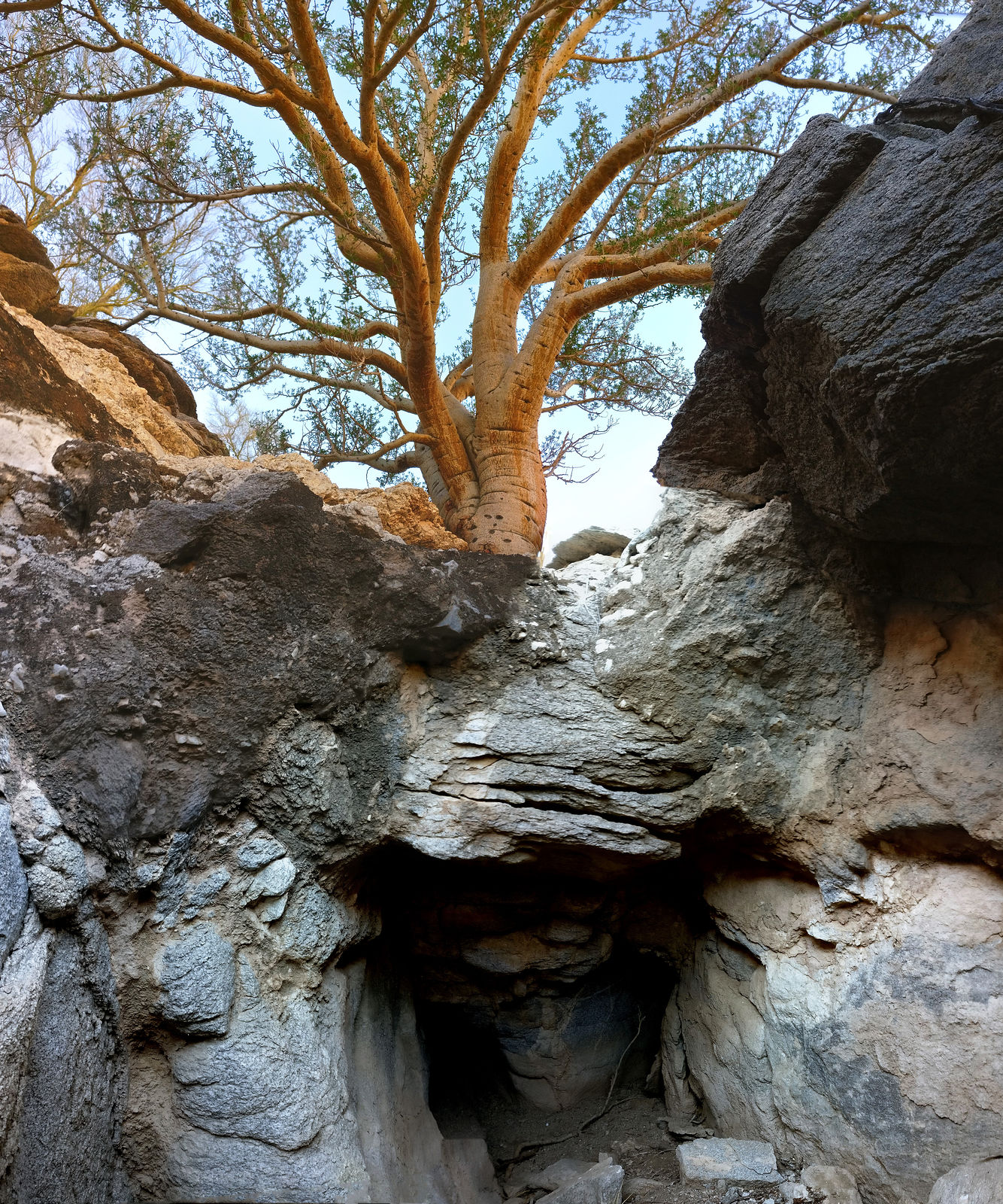
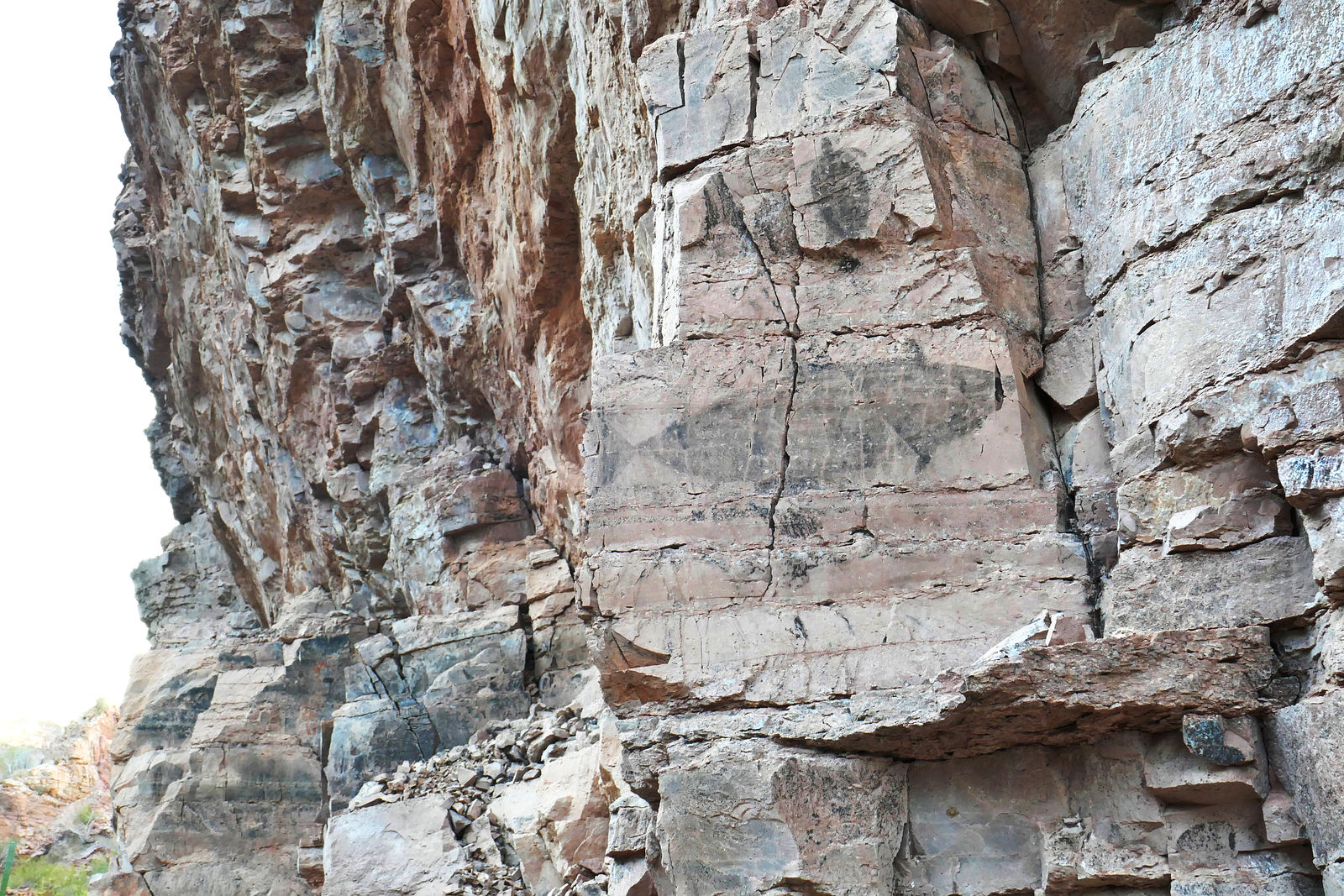
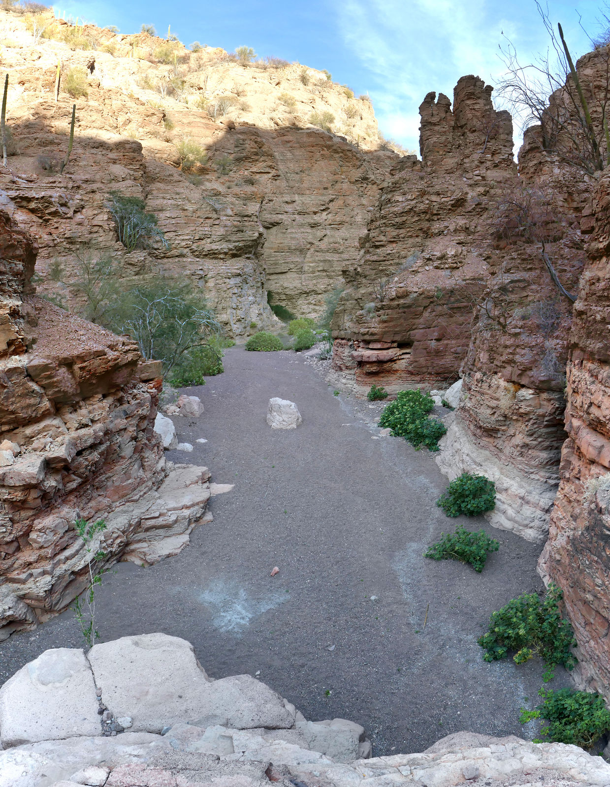
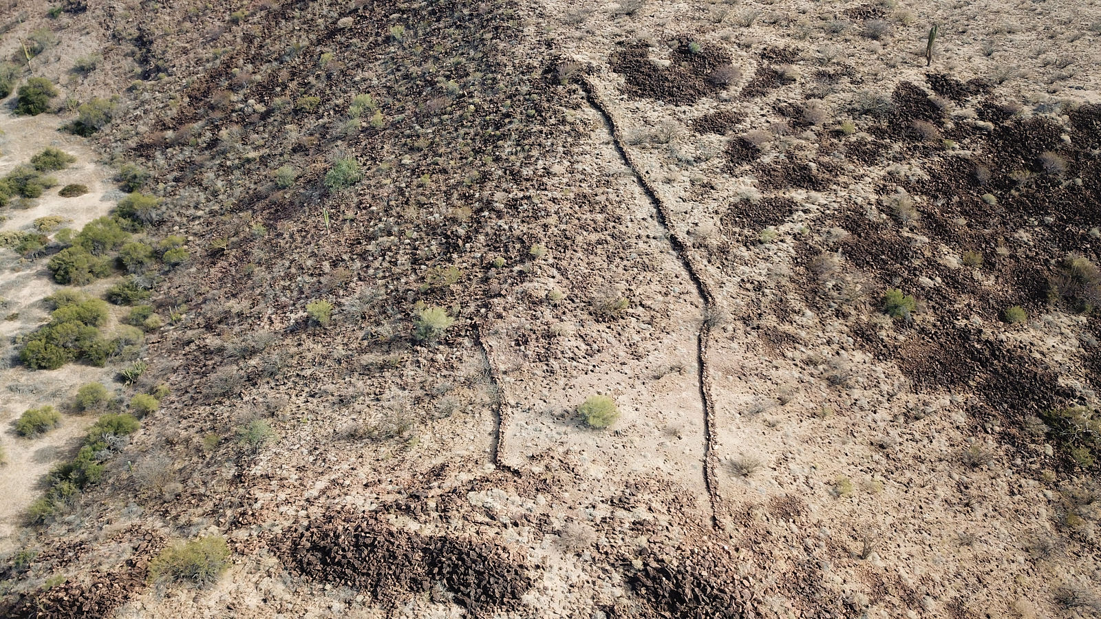
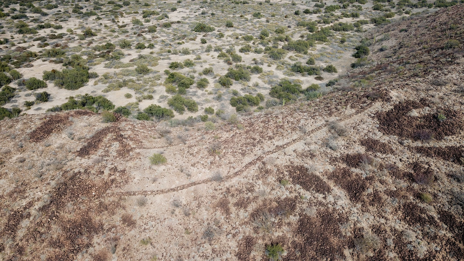
I had already explored this canyon in the past, but at the time I had somehow missed that there were petroglyphs in the area. (I only read about them
later when I got back home.) This time I did find the petroglyphs, which are scratched into the rocks on the ridge separating the north grove of palms
from the two groves to the south.
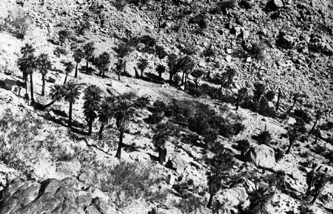
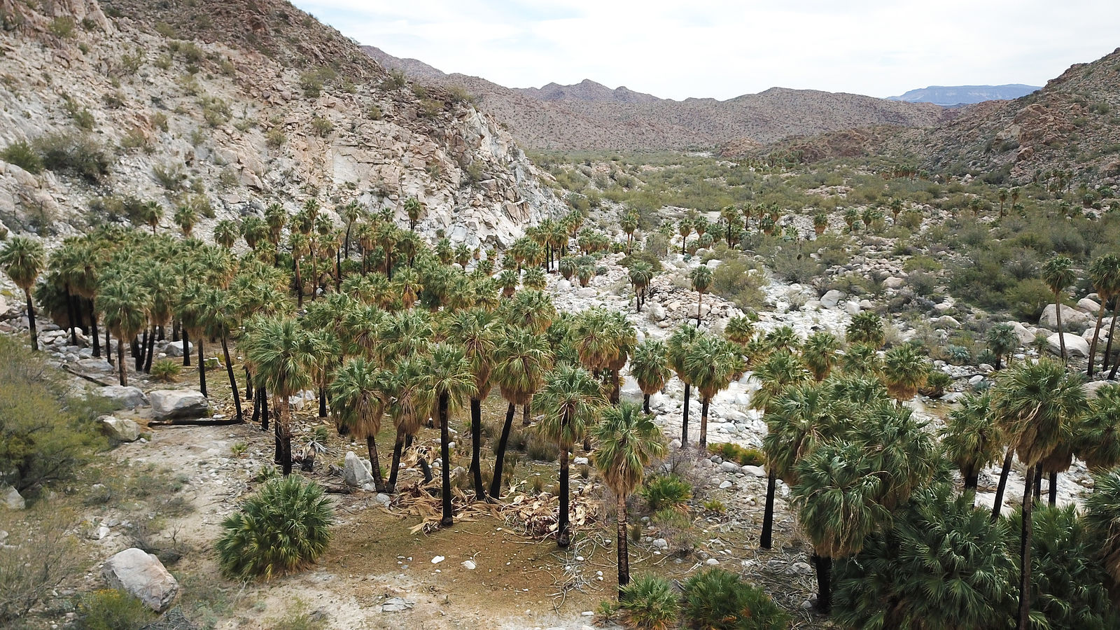
I had a little fun trying to retake some old photographs of this area. First, here's my retake of a 1946 photo from Desert Magazine where the north grove of palms is described as growing in a "perfect circle":
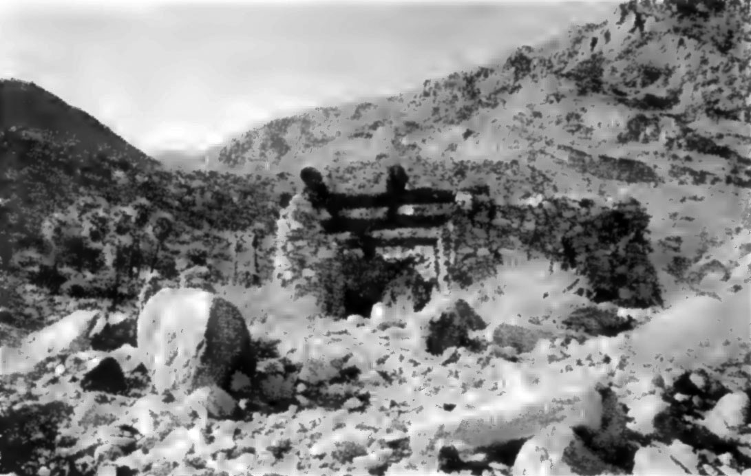
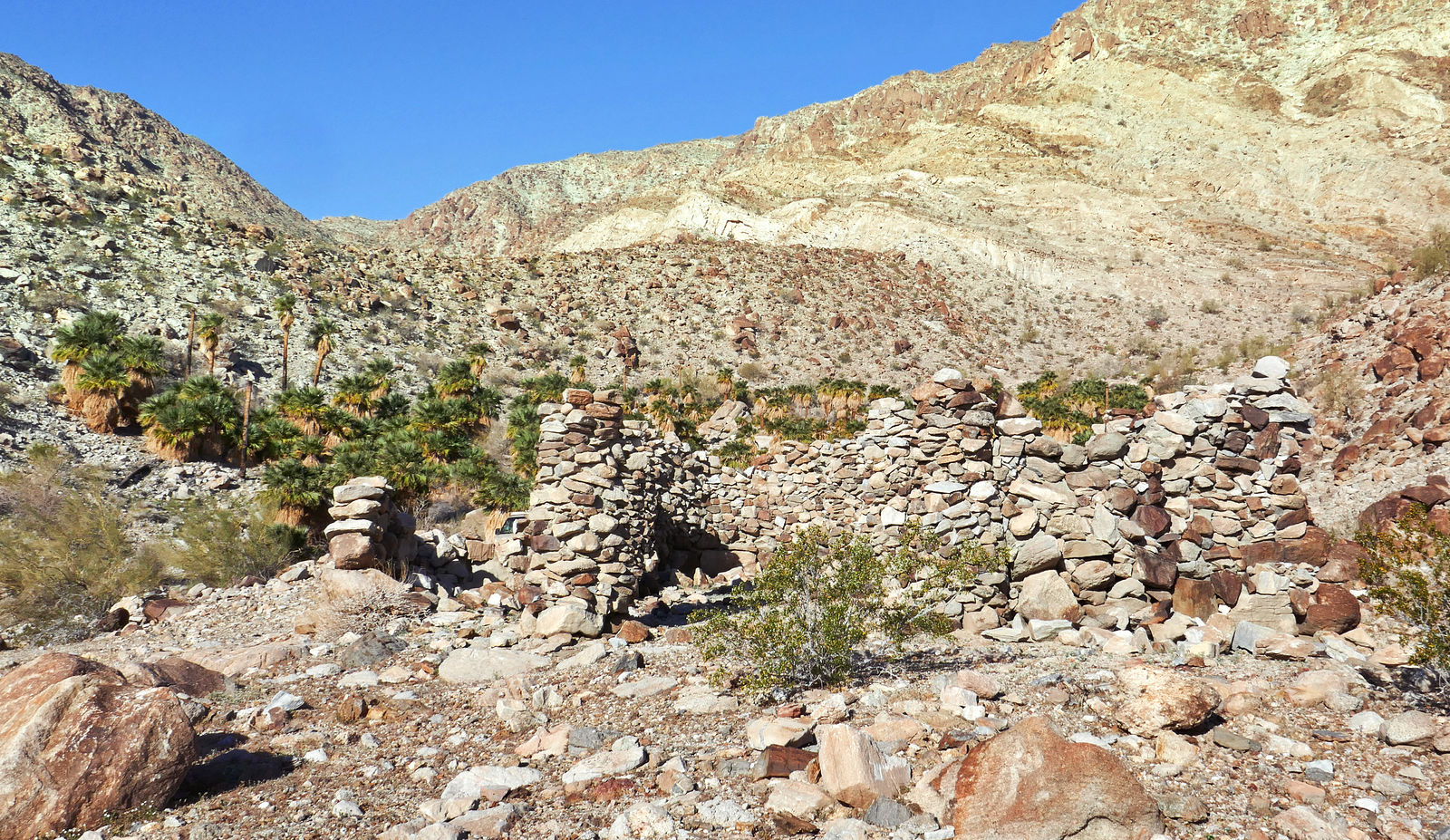
And here, I retook a 1991 photo by Bill Gunther in California Garden magazine of the miner's cabin just east of those palms. Back then the cabin still
had some of its palm log roof intact:
I checked out La Rosa Mine, a short hike up the canyon from these palms:
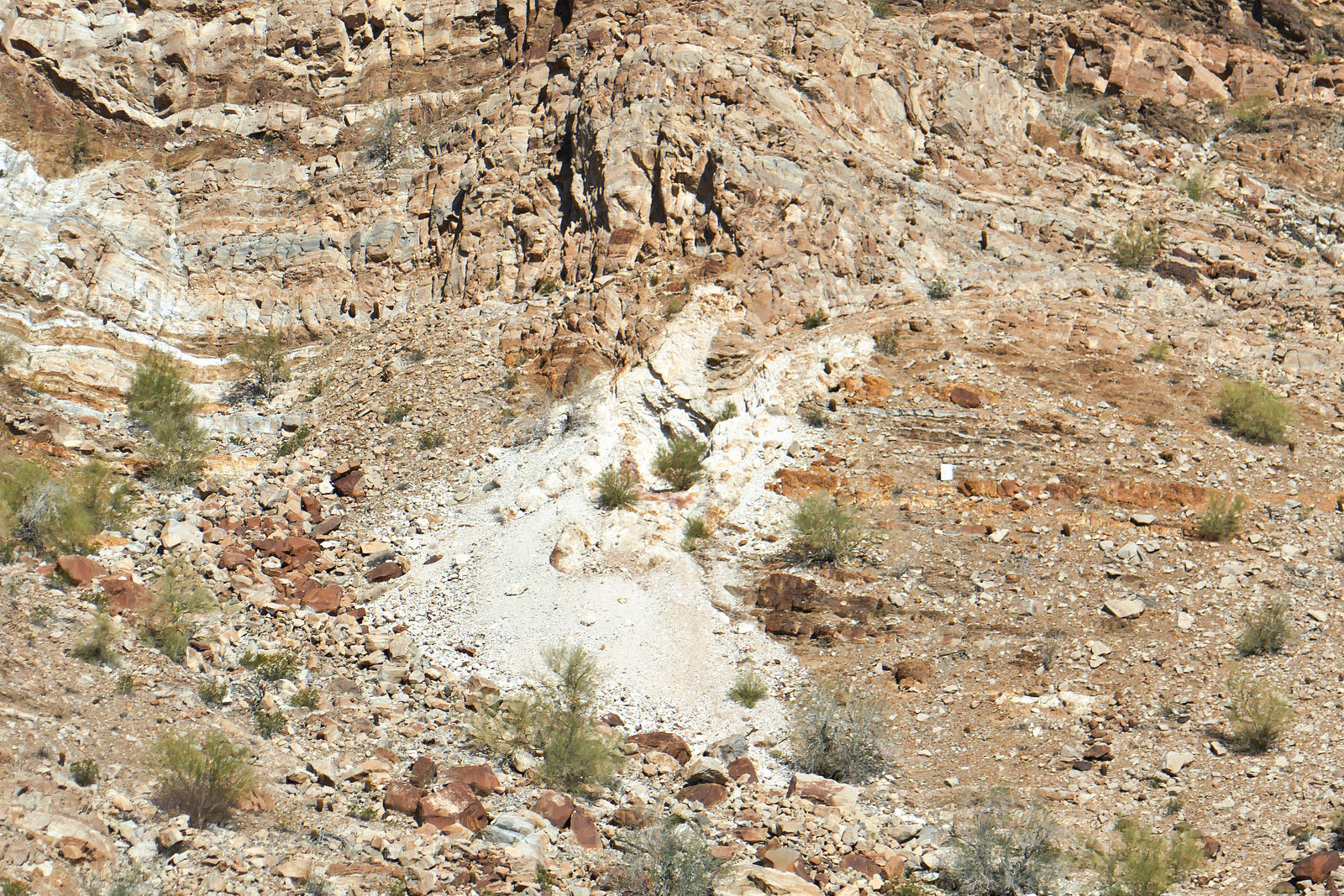
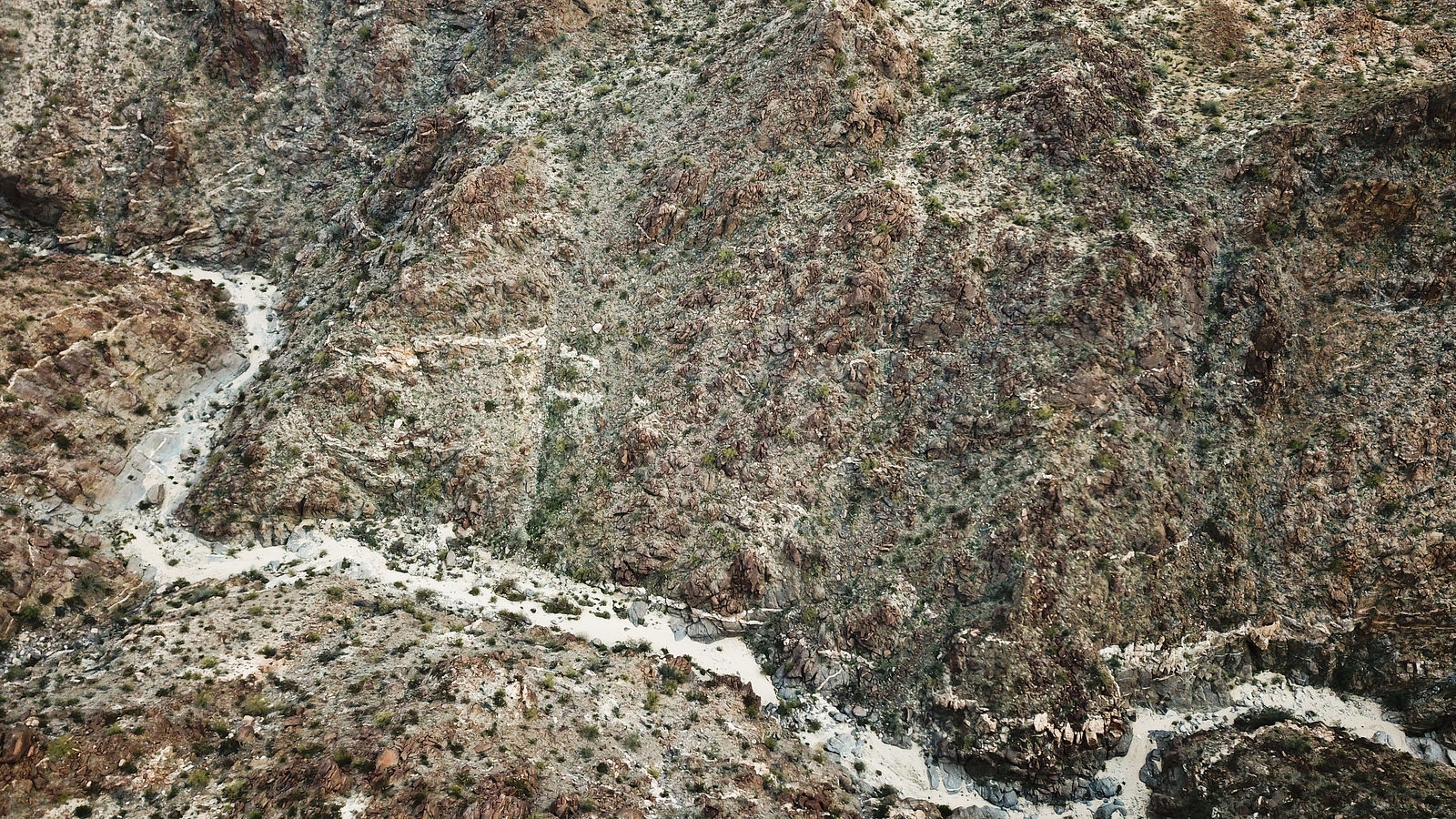
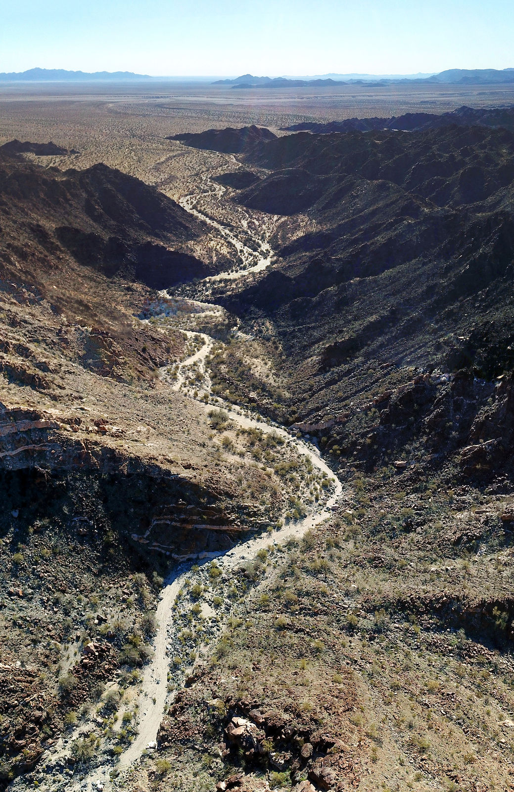
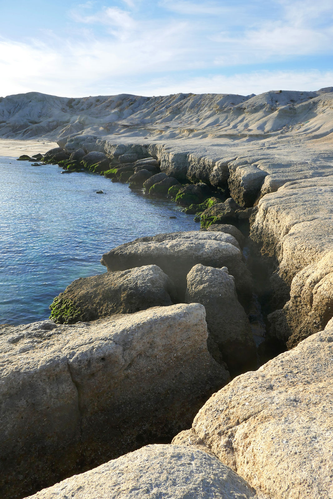
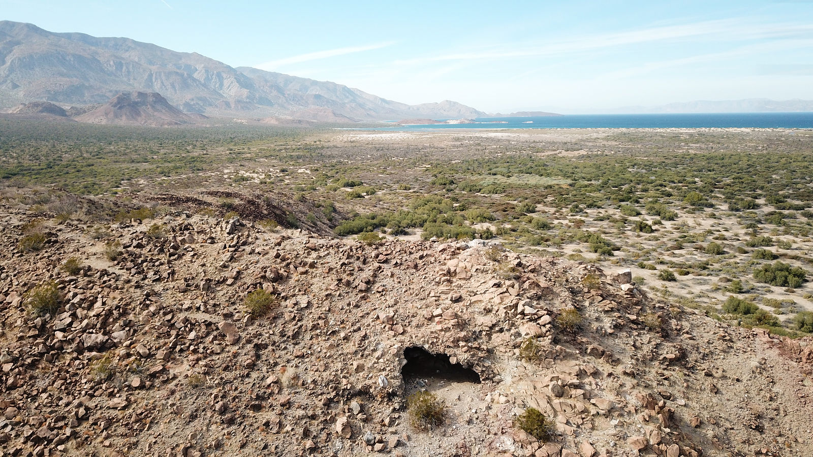
Cucapá Fumarole
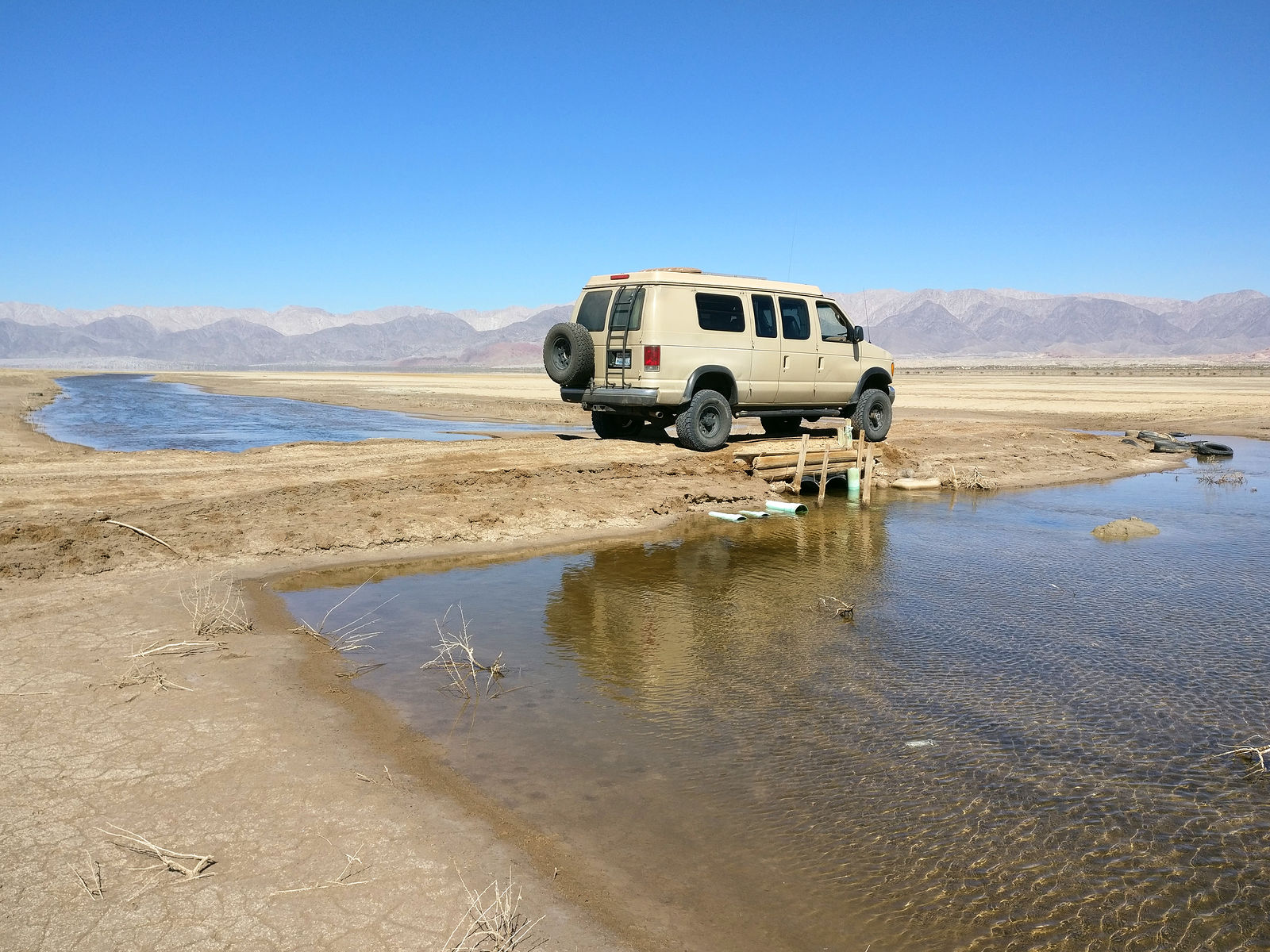
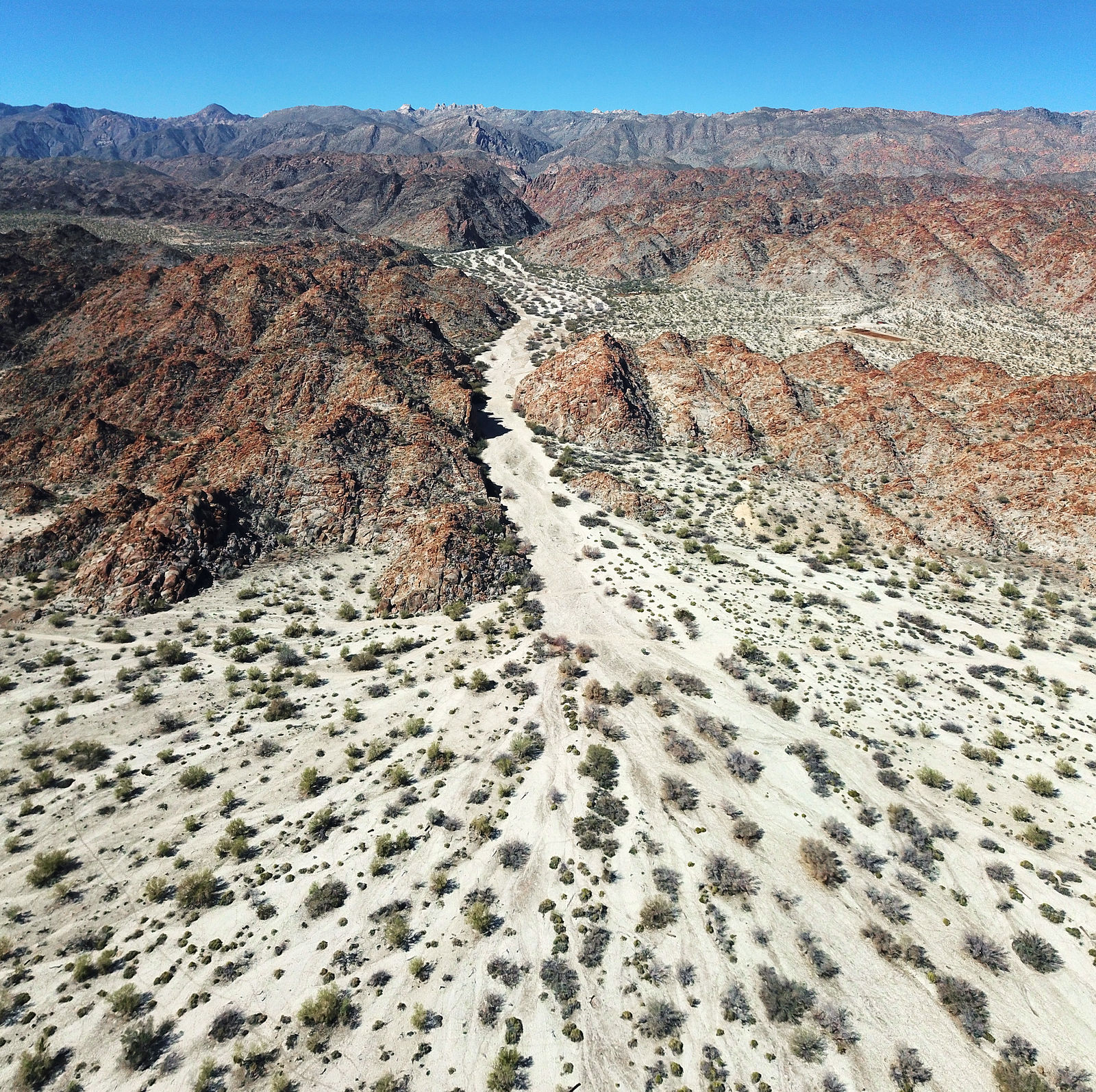
I cut east across Laguna Salada to Sierra de los Cucapá, where there was supposed to be a thermal steam vent (fumarole). Even when the lakebed is
dry, there is still a bit of water to cross. Here is the muddy-bottom canal, which can only be easily crossed in a few places. (GPS:32.2968,-115.5835)
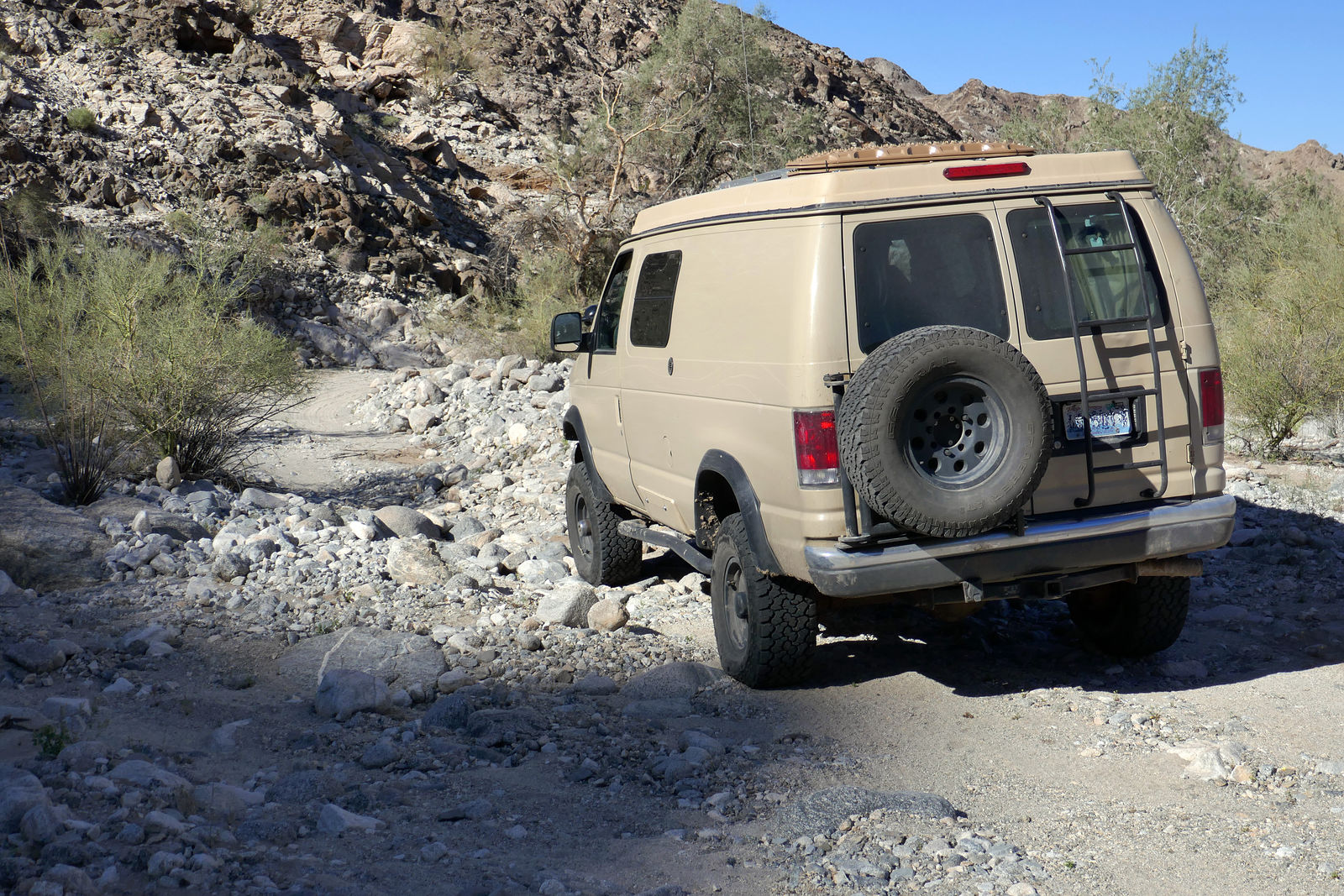
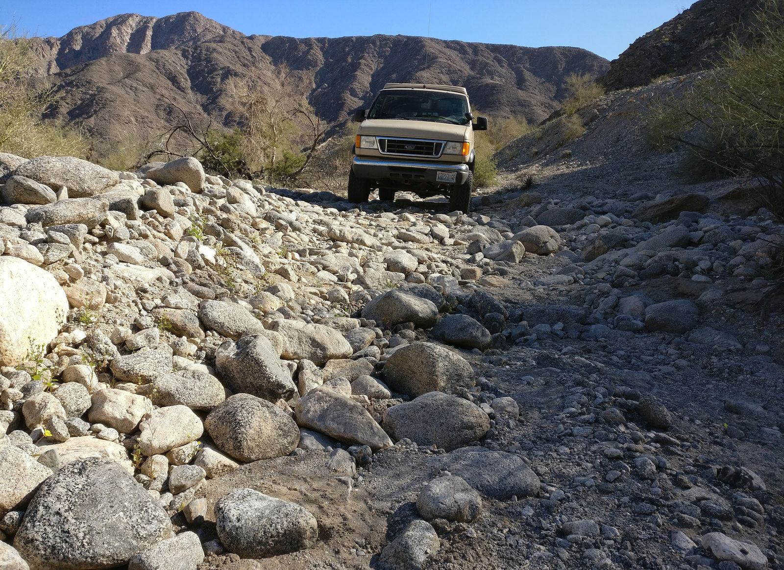
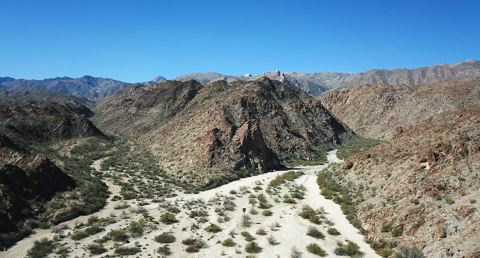
Entering David Canyon, and driving up the wash
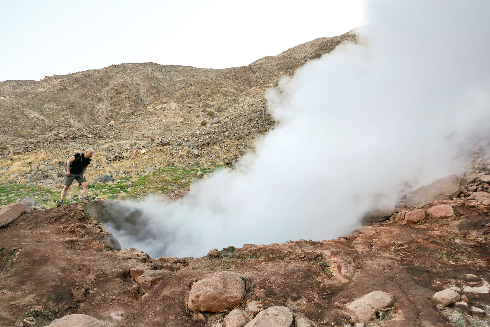
At (GPS:32.3189,-115.4133) I parked the van and hiked the last half mile to the fumarole site. A quarter mile later, I started to hear something like
a distant jet engine, and spotted a plume of steam rising into the air.
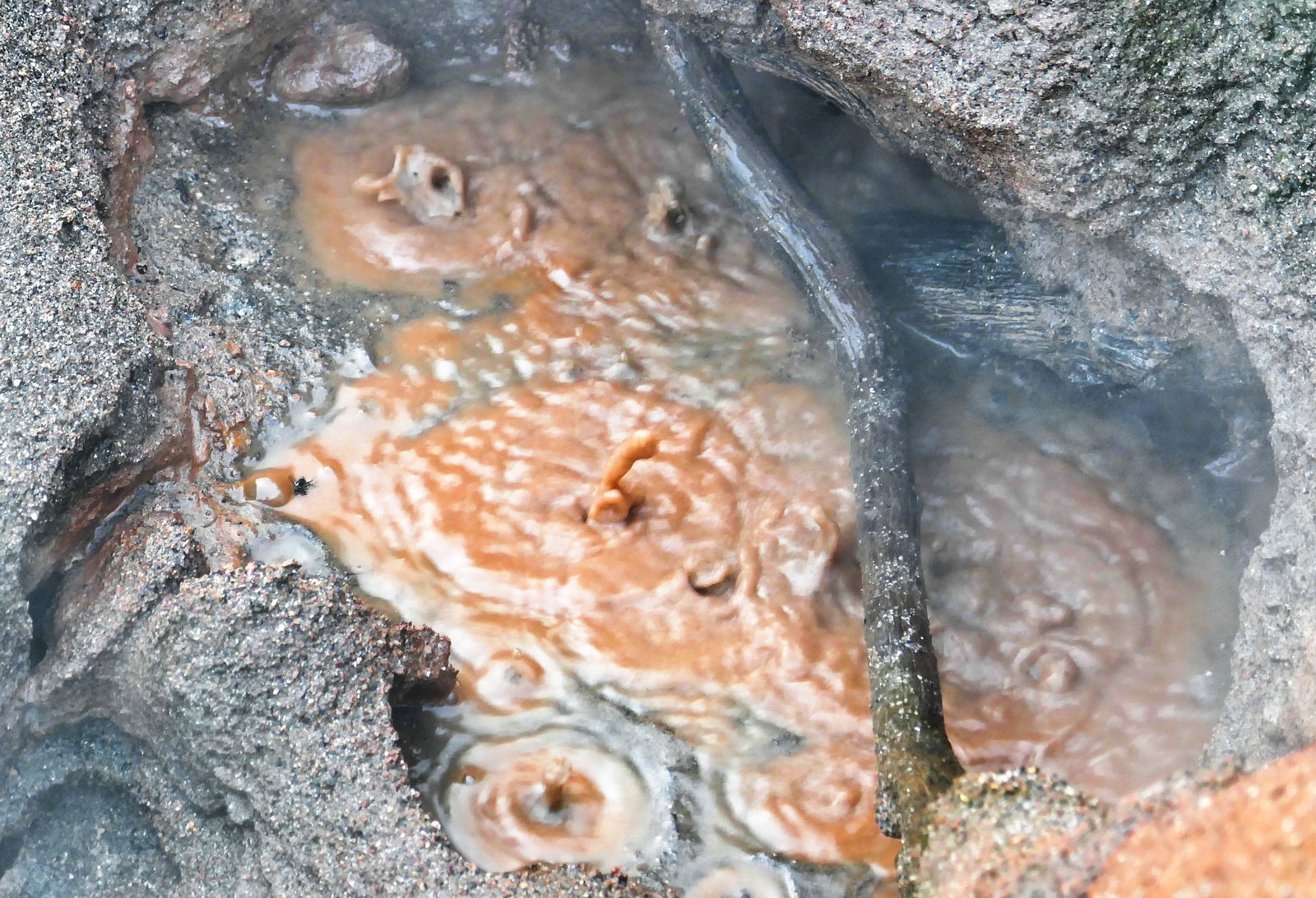
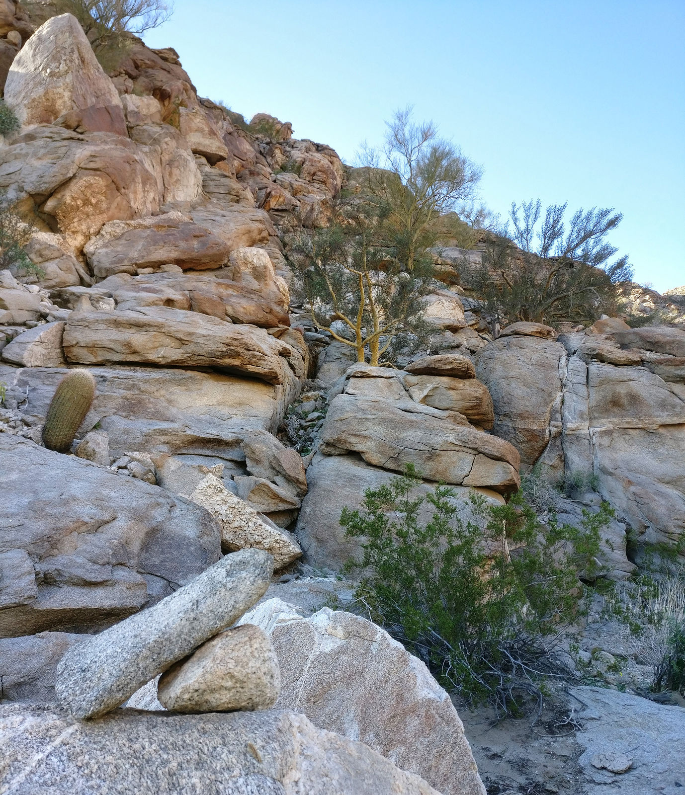
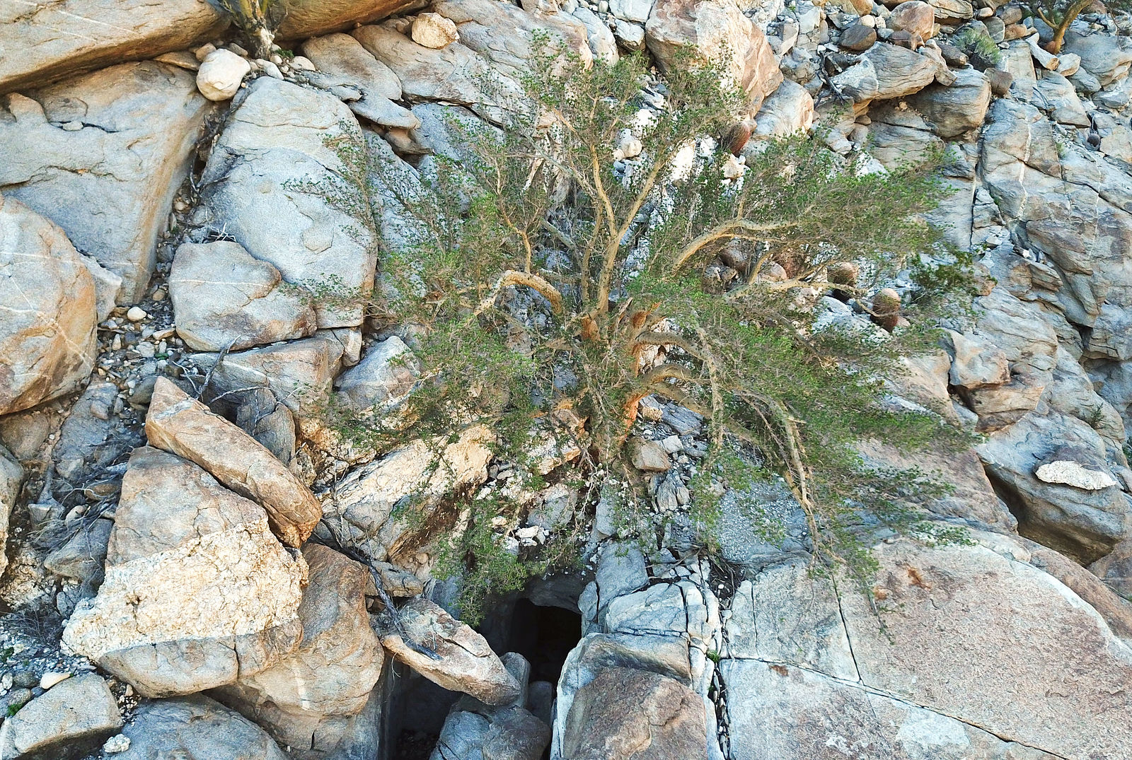
The fumarole is loud. I carefully leaned over to peer down into the sulfur-smelling rising steam and boiling muddy water below. The surrounding ground
is too hot to allow normal plants to grow, but there is a strange green substance (algae?) living among the rocks. Here's a little video: https://youtu.be/fl8rgEin-bY (GPS:32.3269,-115.4170)
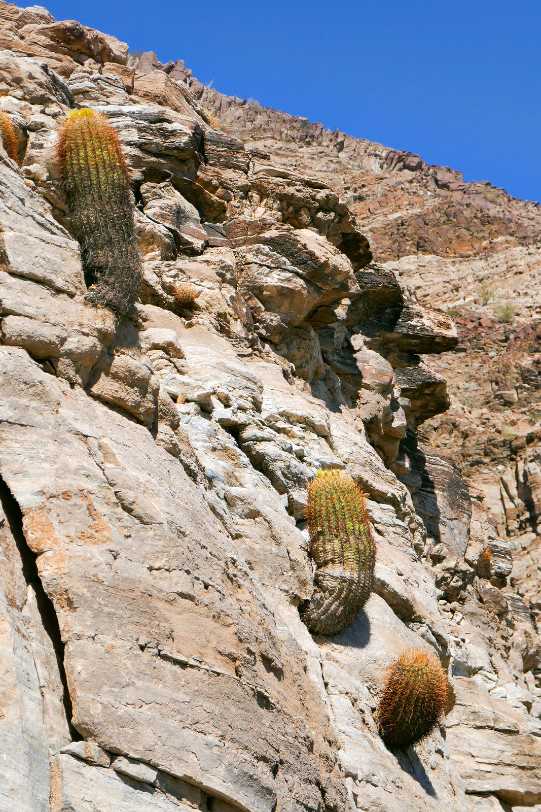
Cañon Palomar
I revisited Palomar Canyon. It's a rough drive in, but the hot springs are worth it!
This time the pipes feeding the cement bathing pool from the hot spring source weren't working, but someone had constructed a simple dirt pool right
at the source. Lovely 92° water in the shade of the palms. I am very thankful for the efforts of all the anonymous visitors who keep this site so
lovely.
I spent hours exploring the extensive canyon upstream, looking for petroglyphs among the palms. I never did find any rock art, but there's still much
to see.
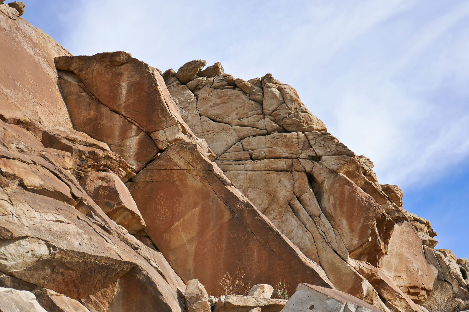
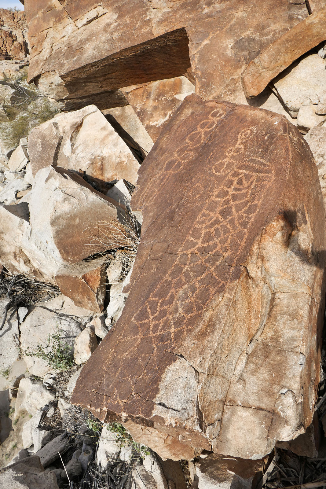
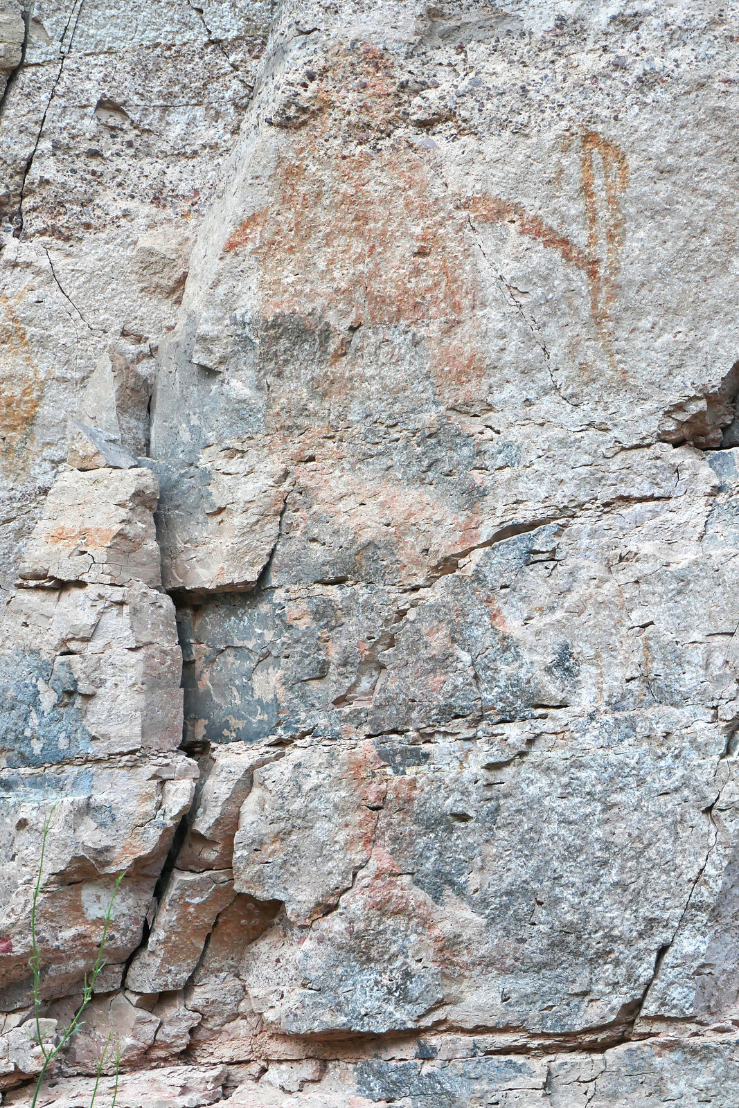
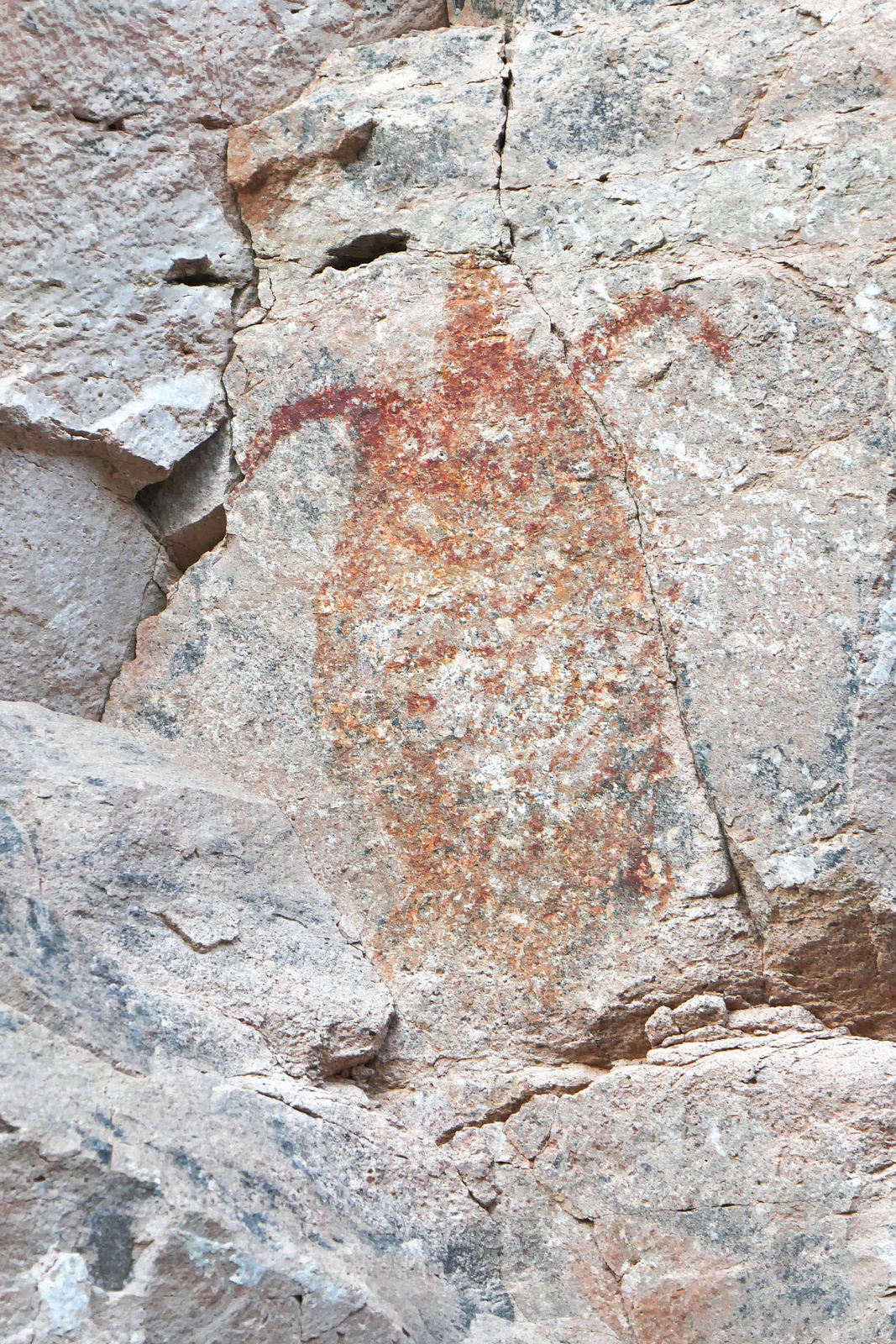
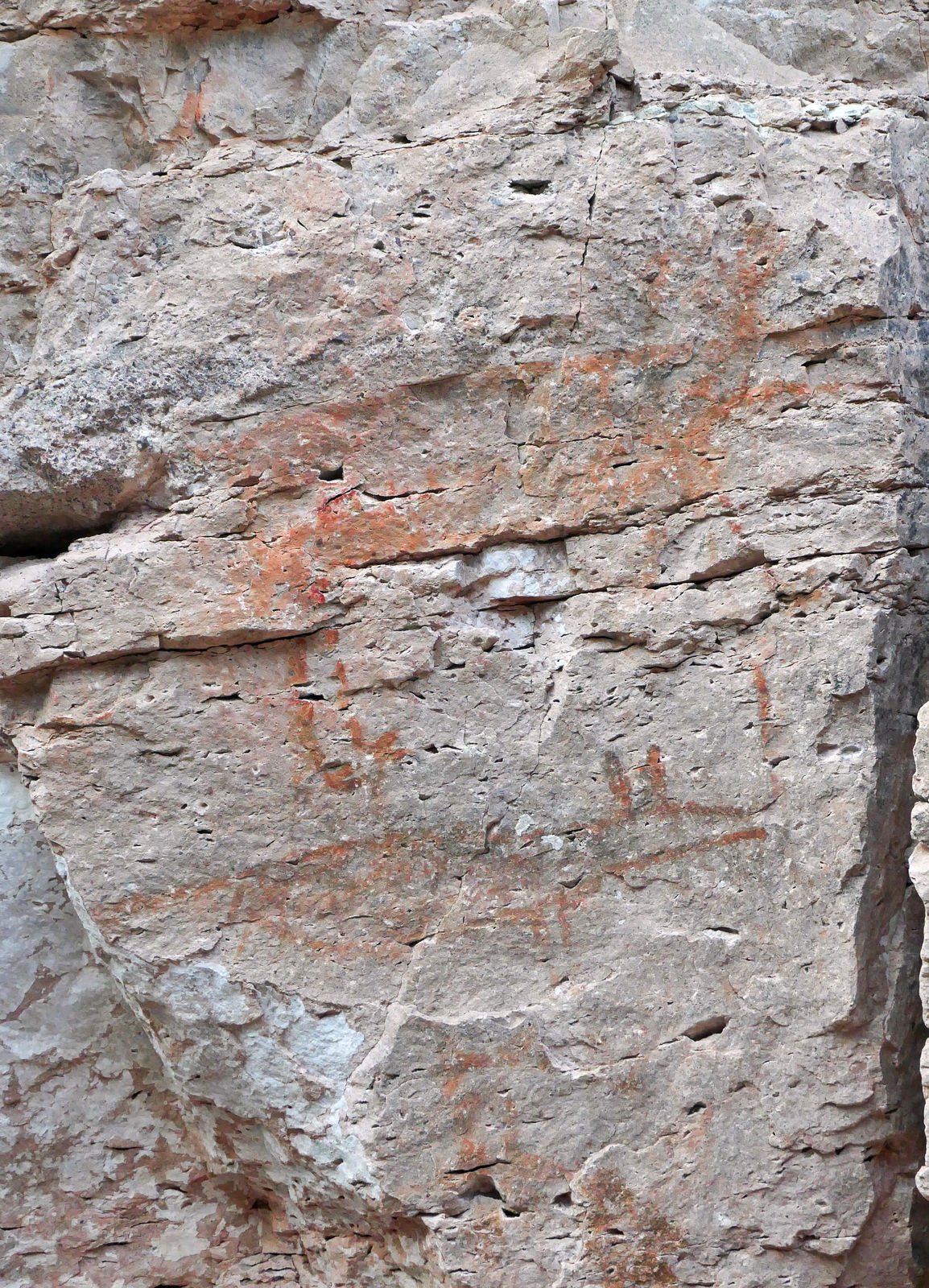
Palomar Petroglyphs
The Palomar Petroglyphs aren't in the canyon with the palms & spring, but in Arroyo el Palomar - about 2 miles north of the canyon entrance.
Petroglyphs are scratched into the walls of a little side canyon heading west from the main north-south Arroyo.
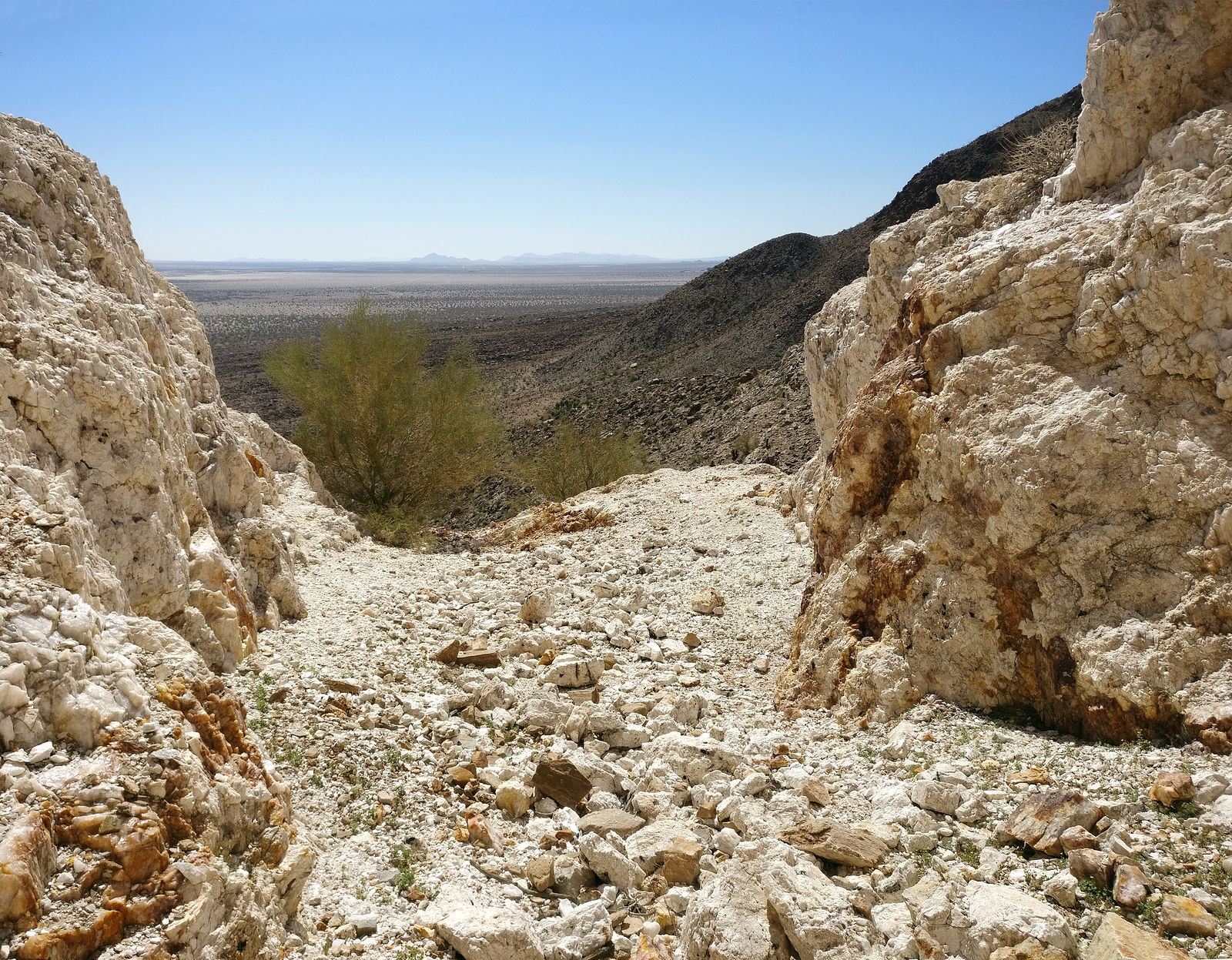
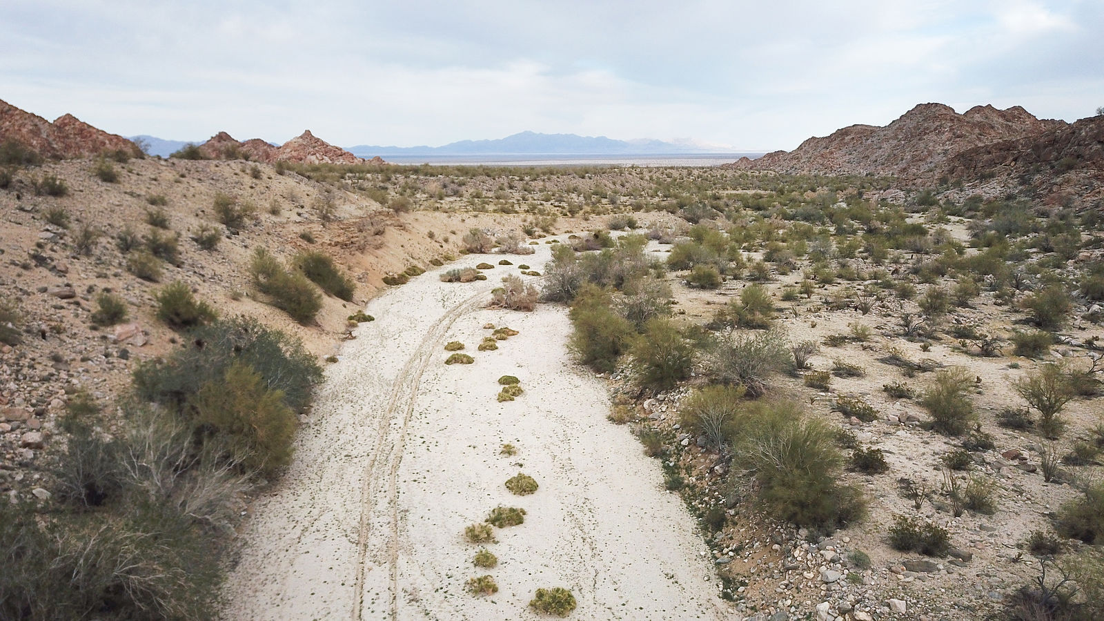
Cañon La Mora
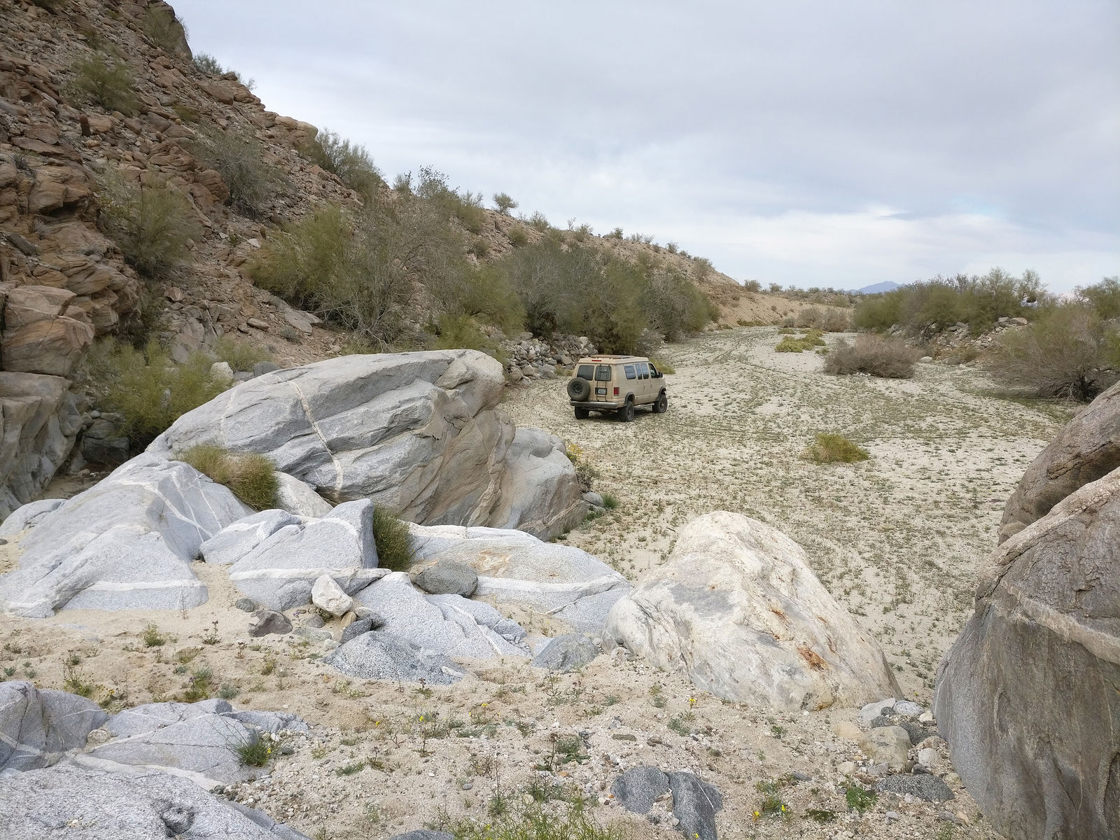
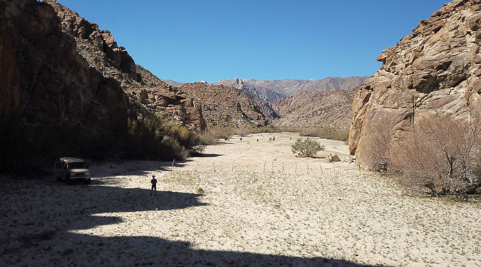
I explored La Mora canyon, which doesn't seem to have any spring water to support palm trees. I was able to drive up the wash to
(GPS:32.0251,-115.7227), and after that things looked pretty barren.
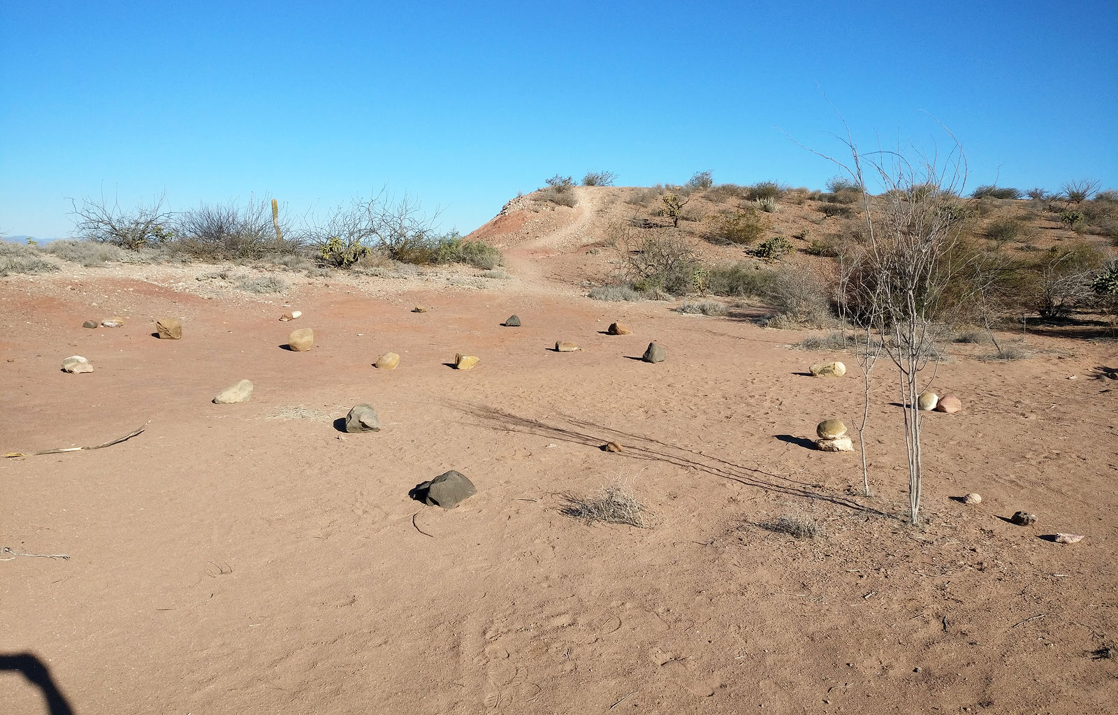
I spotted a ribbon tied to a bush. And then another. Those led me to a series of cairns - which eventually took me to a group of rocks on the north
side of the canyon. I found a curious hollow in the rocks under a tree. I wonder what was going on here...?
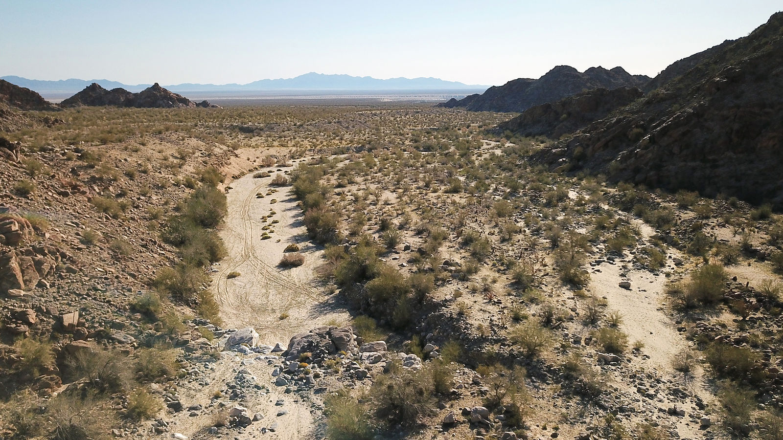
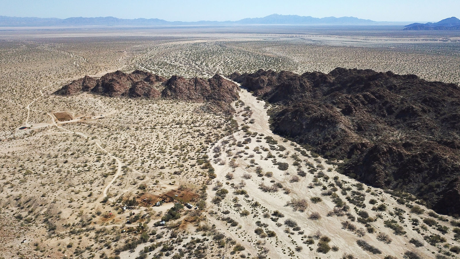
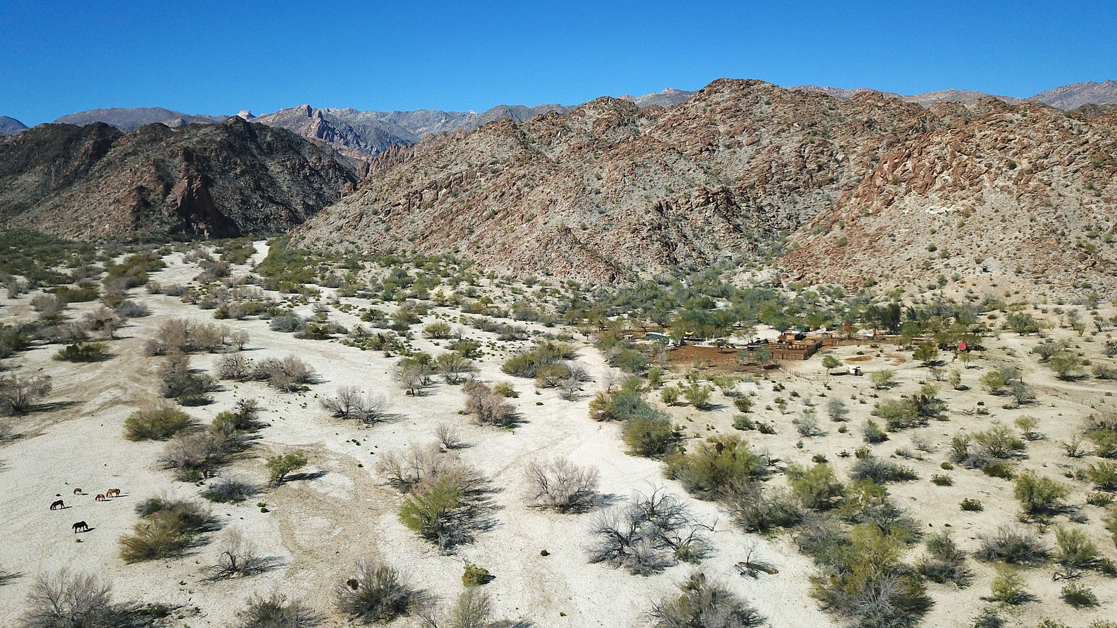
Cañon Alamar
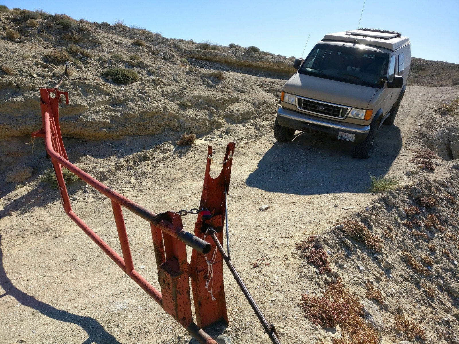
Access to this canyon is blocked by a fence across the wash. It might be possible to get up the canyon by going through the ranch at (GPS:
32.0086,-115.7071), but I felt shy about bothering them. I used my drone to take some photos. No palm oasis was apparent here. (GPS:32.0100,-115.6976)
___________________________________________________ Heading South
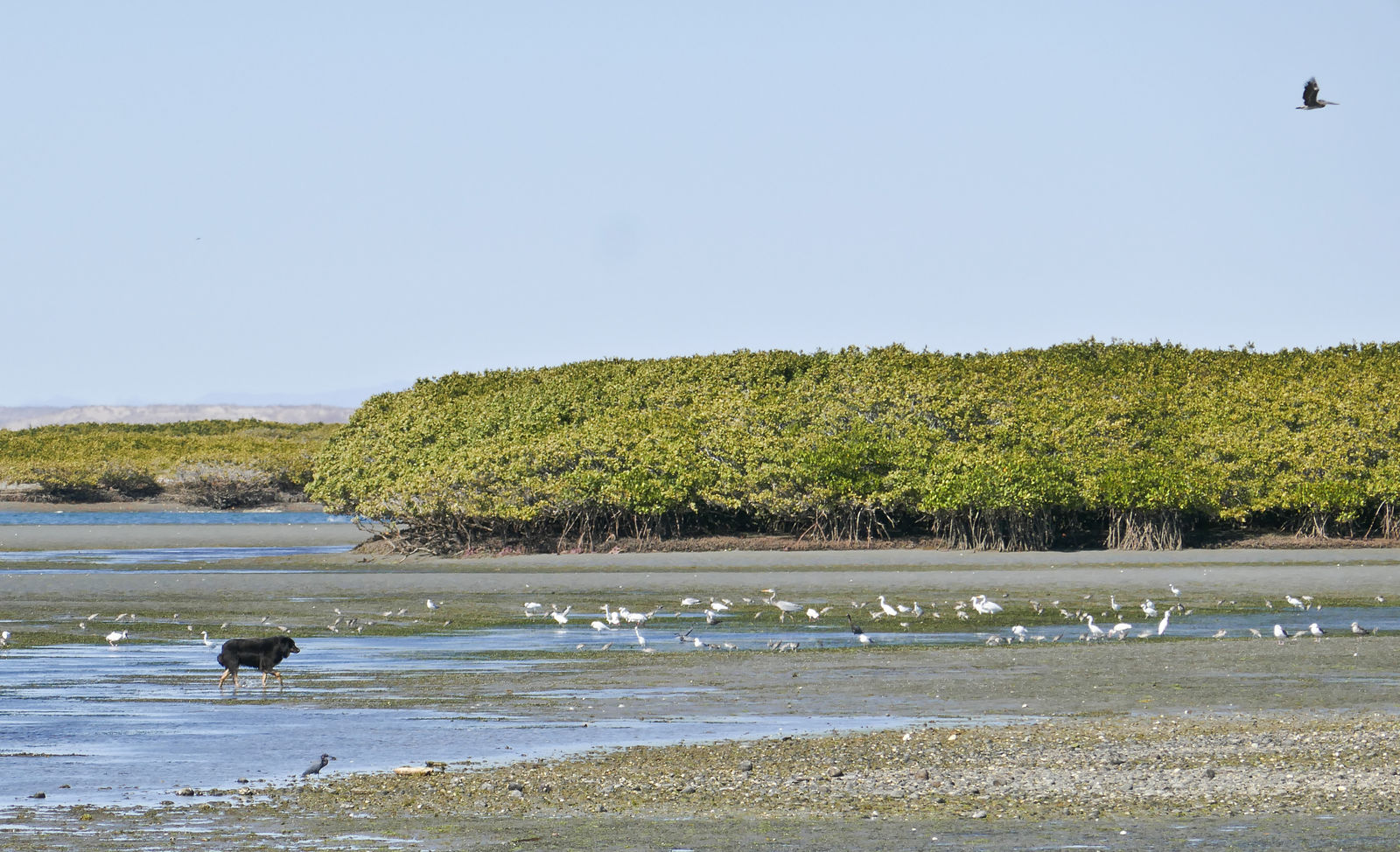
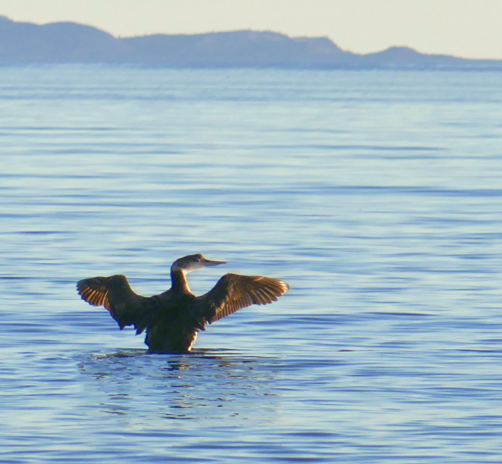
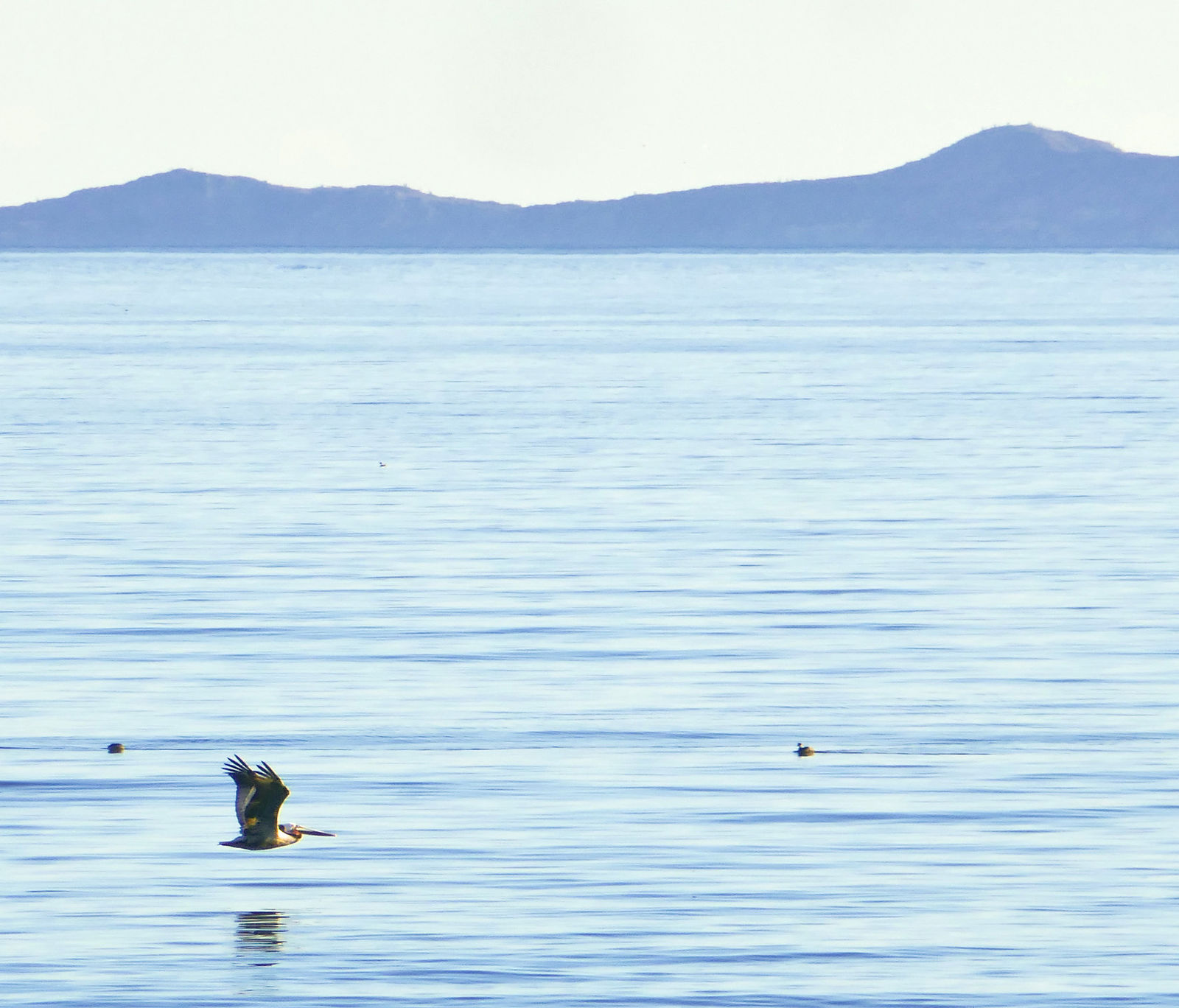
Percebú / Shell Island
I always enjoy camping here. (GPS:30.7878,-114.7003)
Highway 5
Heading south from San Felipe, I found the road to Puertecitos (repaved some years ago) to again be in poor shape. The area was very busy road crews
working on repairs.
On the other hand, the plug seemed to have been pulled on Highway 5 construction south of Puertecitos! I saw no sign of any activity since I passed
this way in the last couple years.
If you're careful you can drive on the smooth "new" (but unfinished) pavement and bypass the old washboarded road going past Coco's Corner. If you're
heading south, always stay right when given the choice. Stay on the main road when you pass the "Coco's Corner Ranch" sign at (GPS:29.5513,-114.3424),
and keep right again at (GPS:29.5509,-114.3416). When heading north, ignore the construction arrow pointing to the right at (GPS:29.464,-114.3353),
and turn left, or perhaps 1.25 miles down the road at (GPS:29.4760,-114.3195).
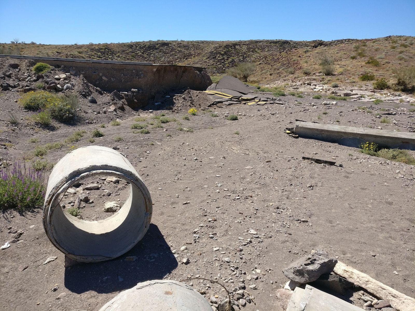
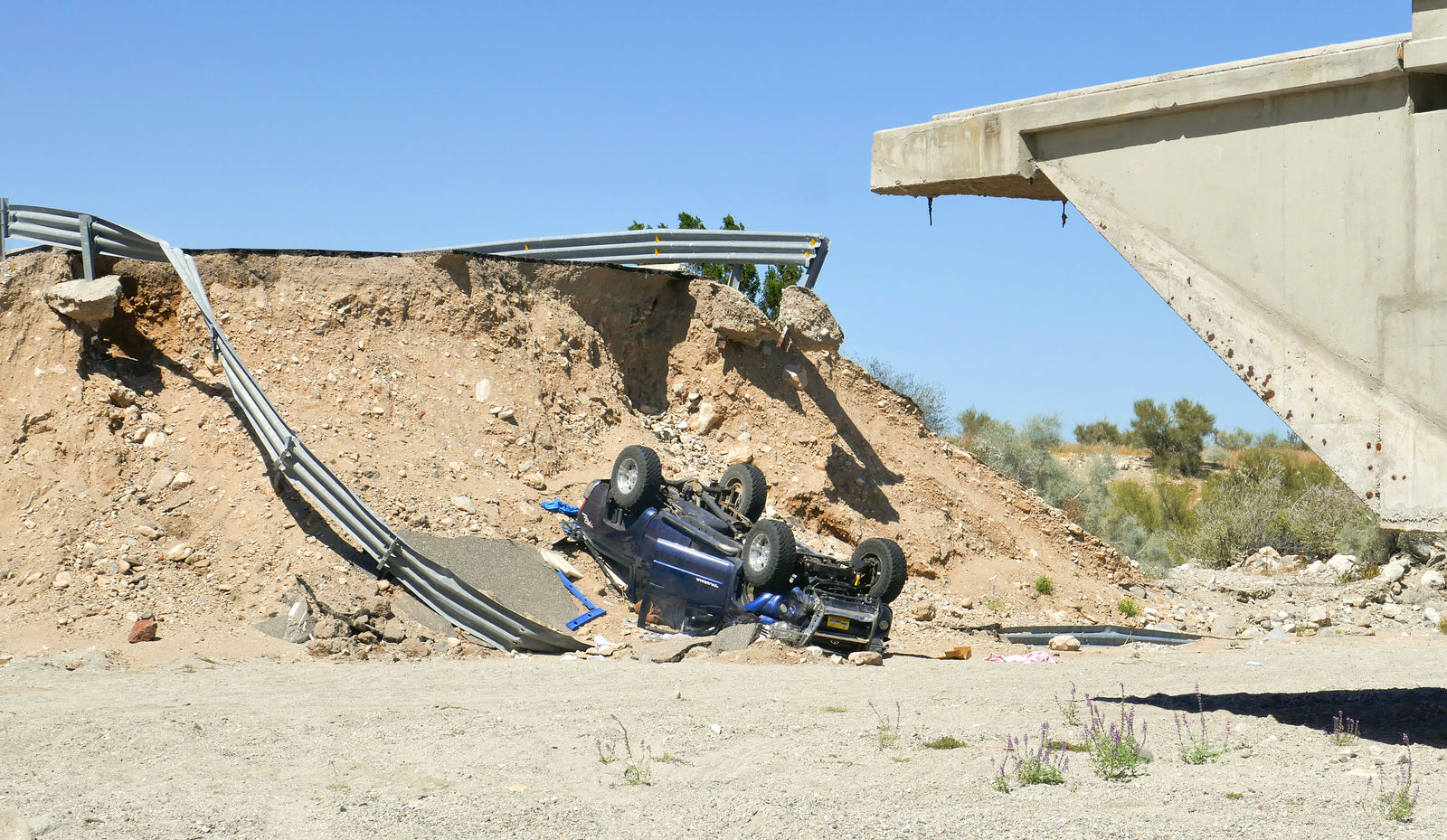
There is lots of storm erosion damage. I counted 10 bridges completely impassable, requiring all vehicles to take a bumpy bypass on dirt tracks.
The missing sections of road are marked with rocks and some orange cones or barrels, but that's not always enough. I passed a very sad scene where
someone had not realized in time that the bridge was out.
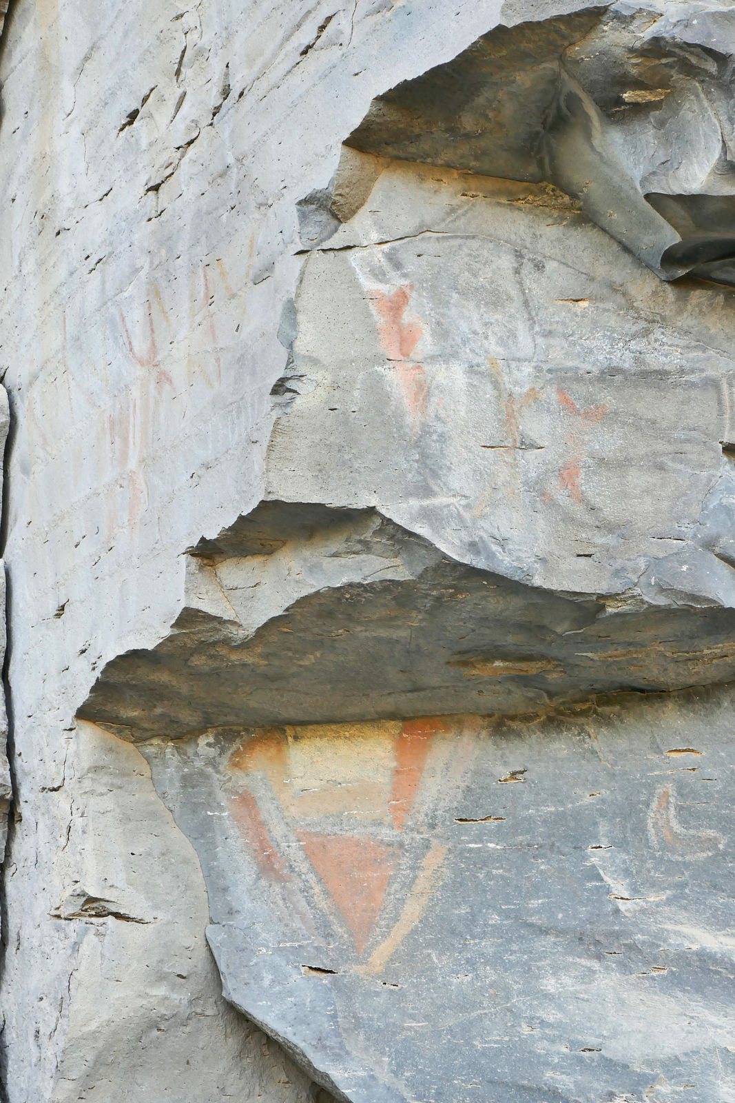
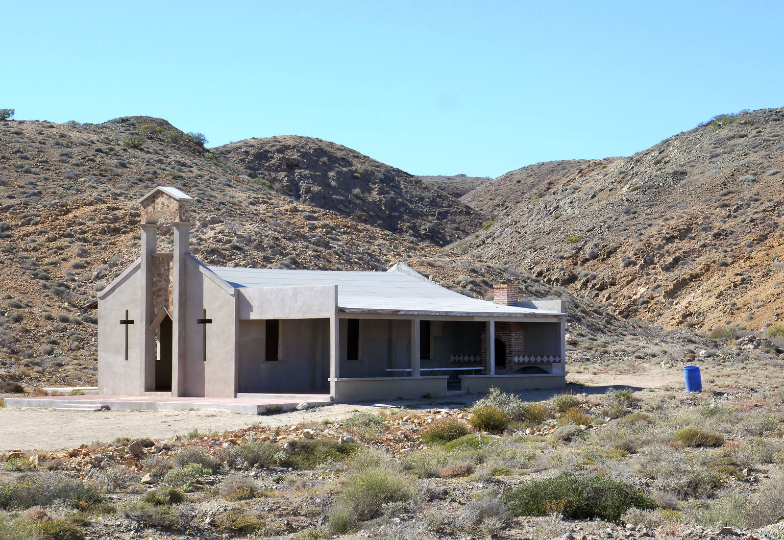
La Angostura Pictographs
After meeting up with Highway 1, I headed south. I made a quick side trip to check out a rock art site about three miles up the road to San Borja from
Rosarito. There are a few faint pictographs on the northeast-facing rocks.
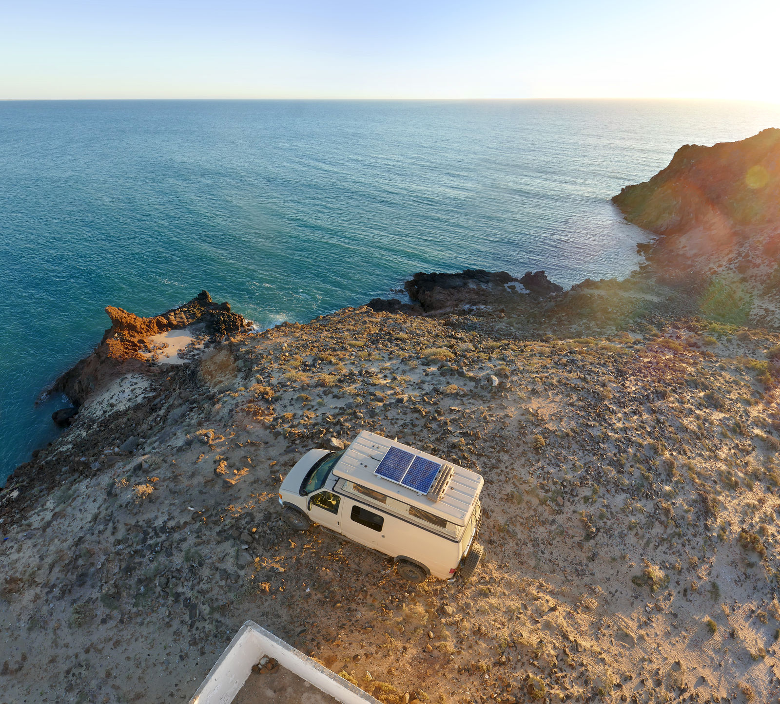
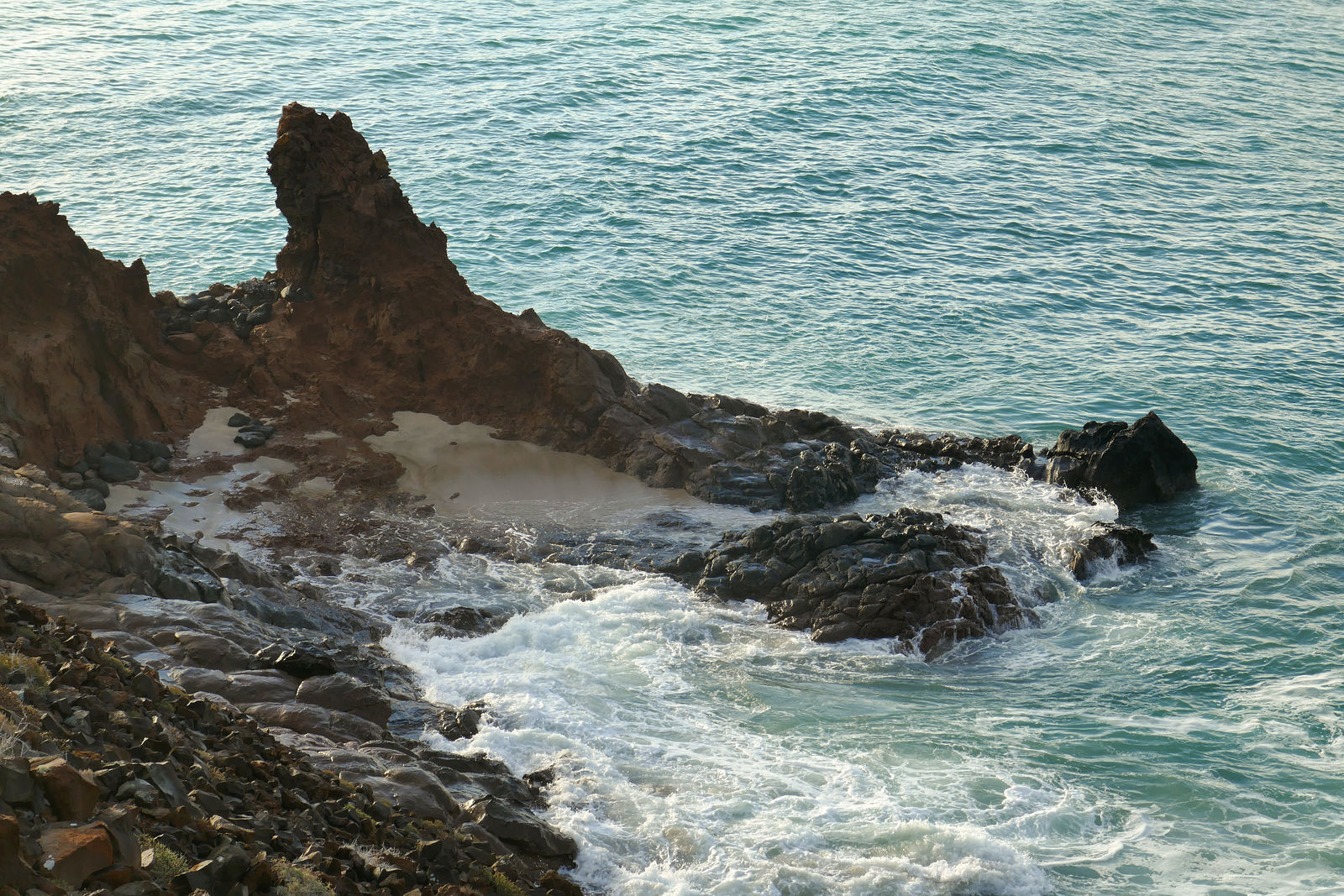
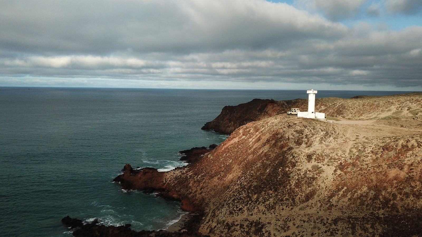
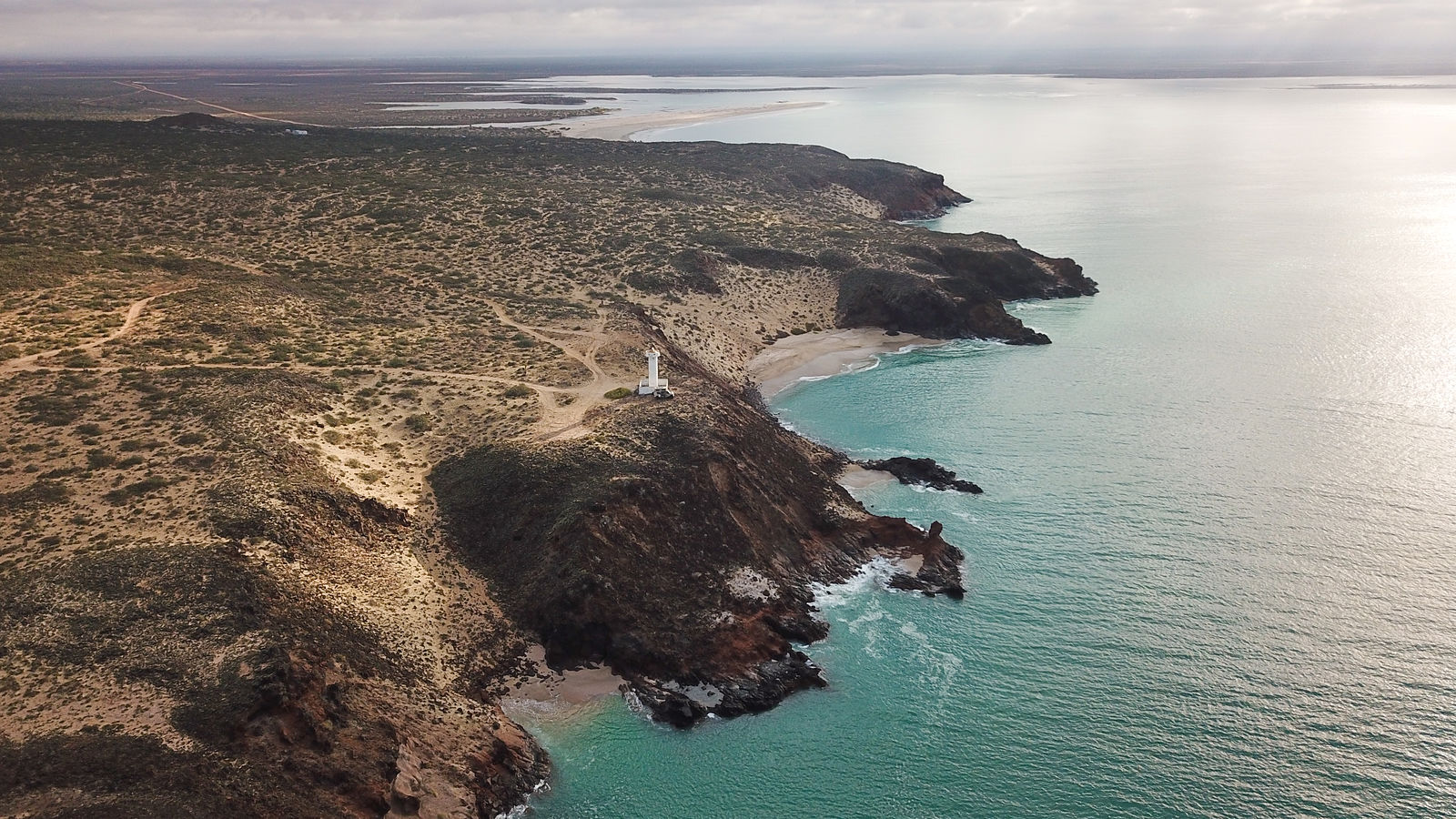
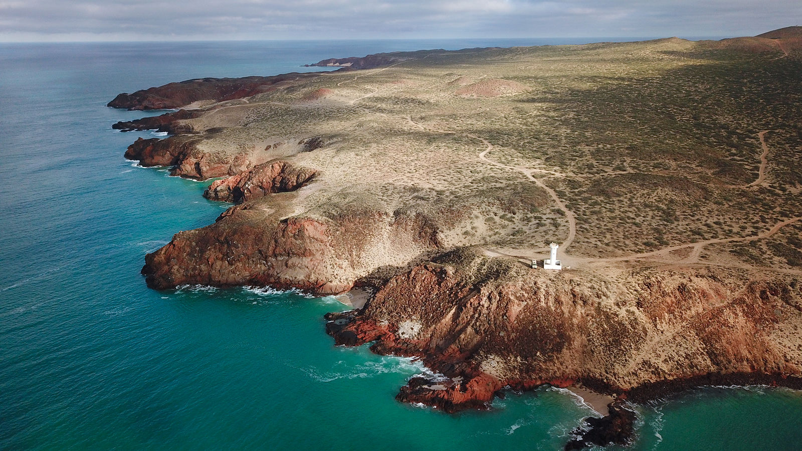
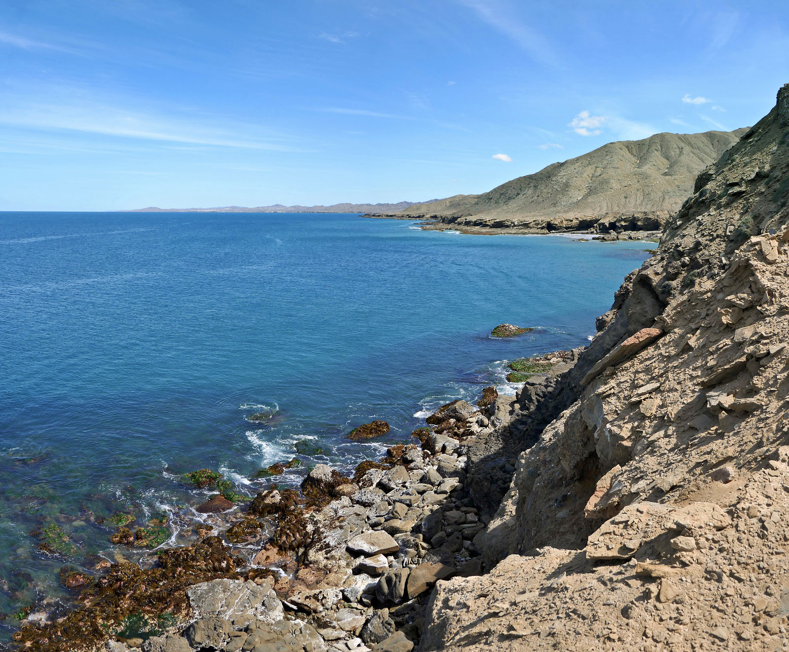
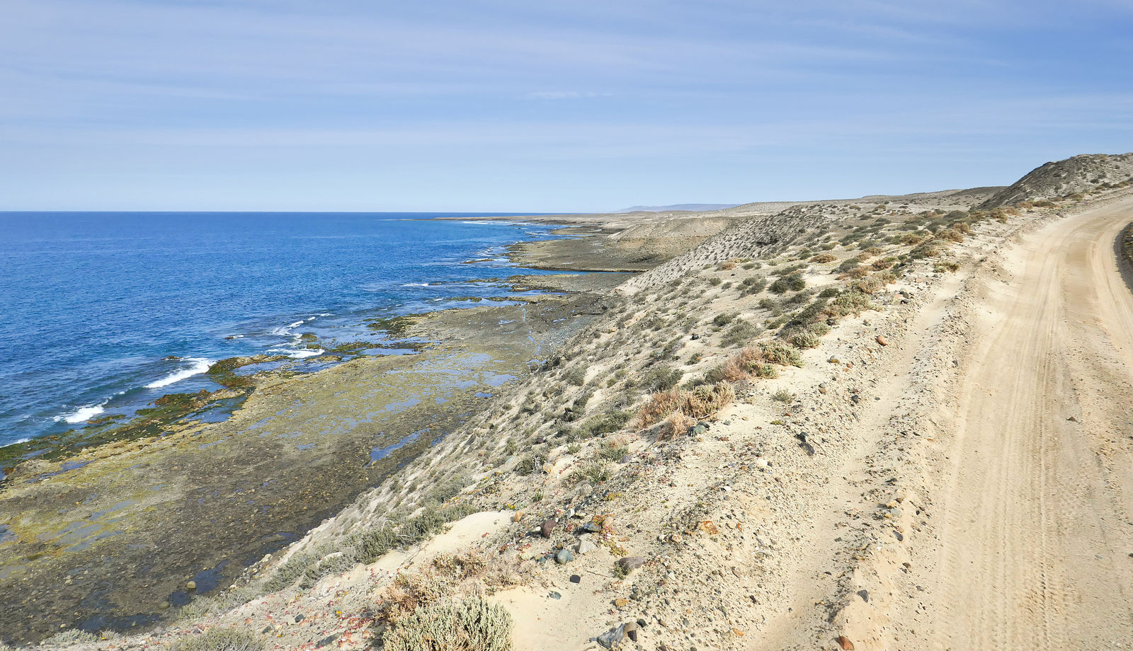
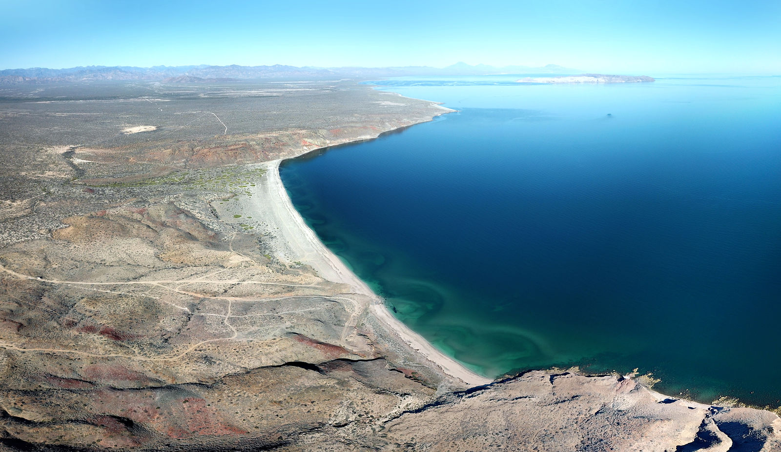
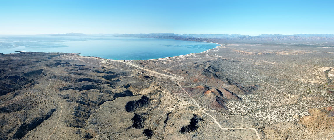
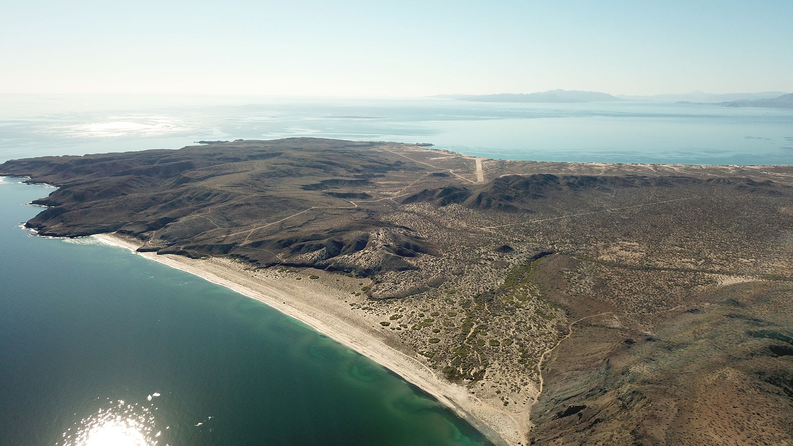
Punta Morro Santo Domingo
This is a favorite camping spot for me when passing through the Guerrero Negro area. I like to perch next to the Punta Morro Santo Domingo lighthouse
at the top of the bluffs overlooking the rocky shore and crashing waves. (GPS:28.2383,-114.1054)
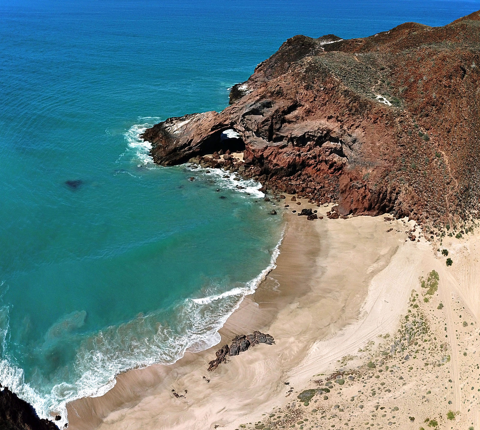
Arch beach (gps:28.2434,-114.1128)
Little plants and lichens survive on the moisture from the sea spray.
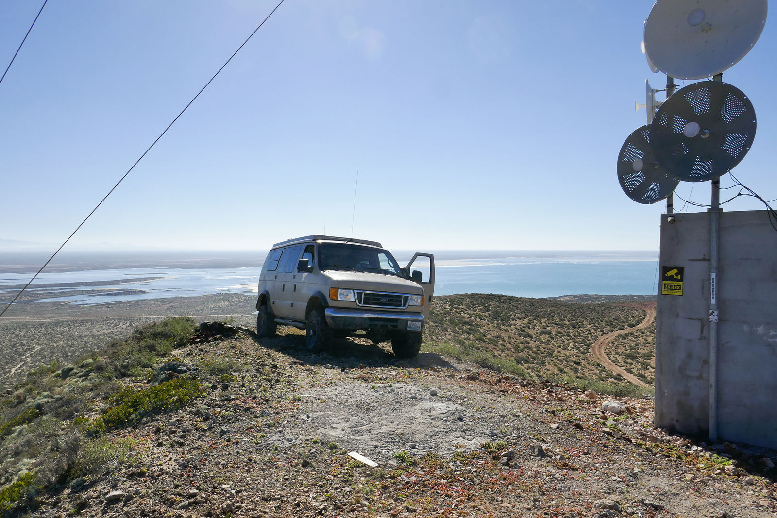
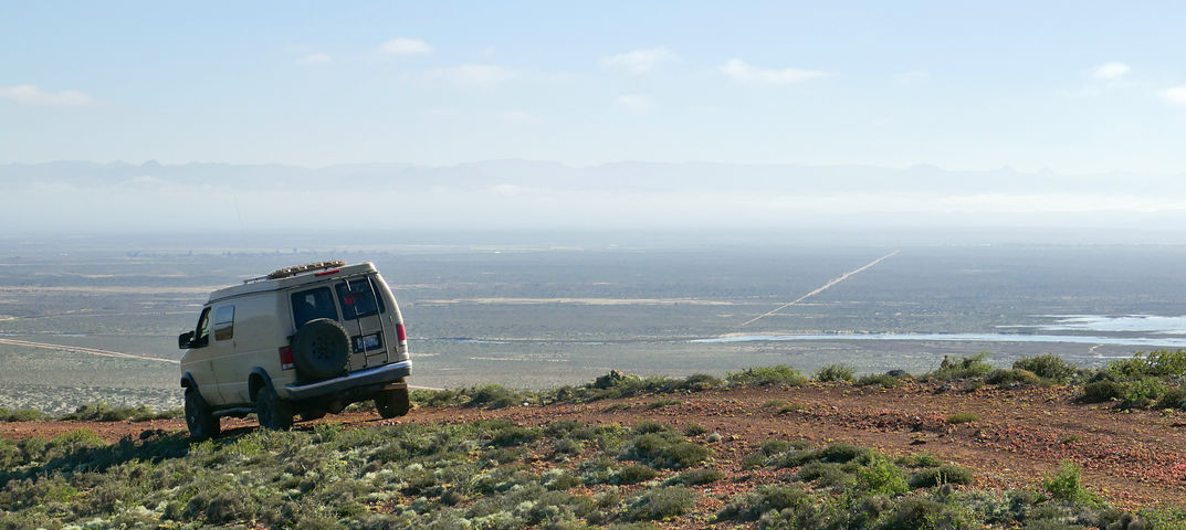
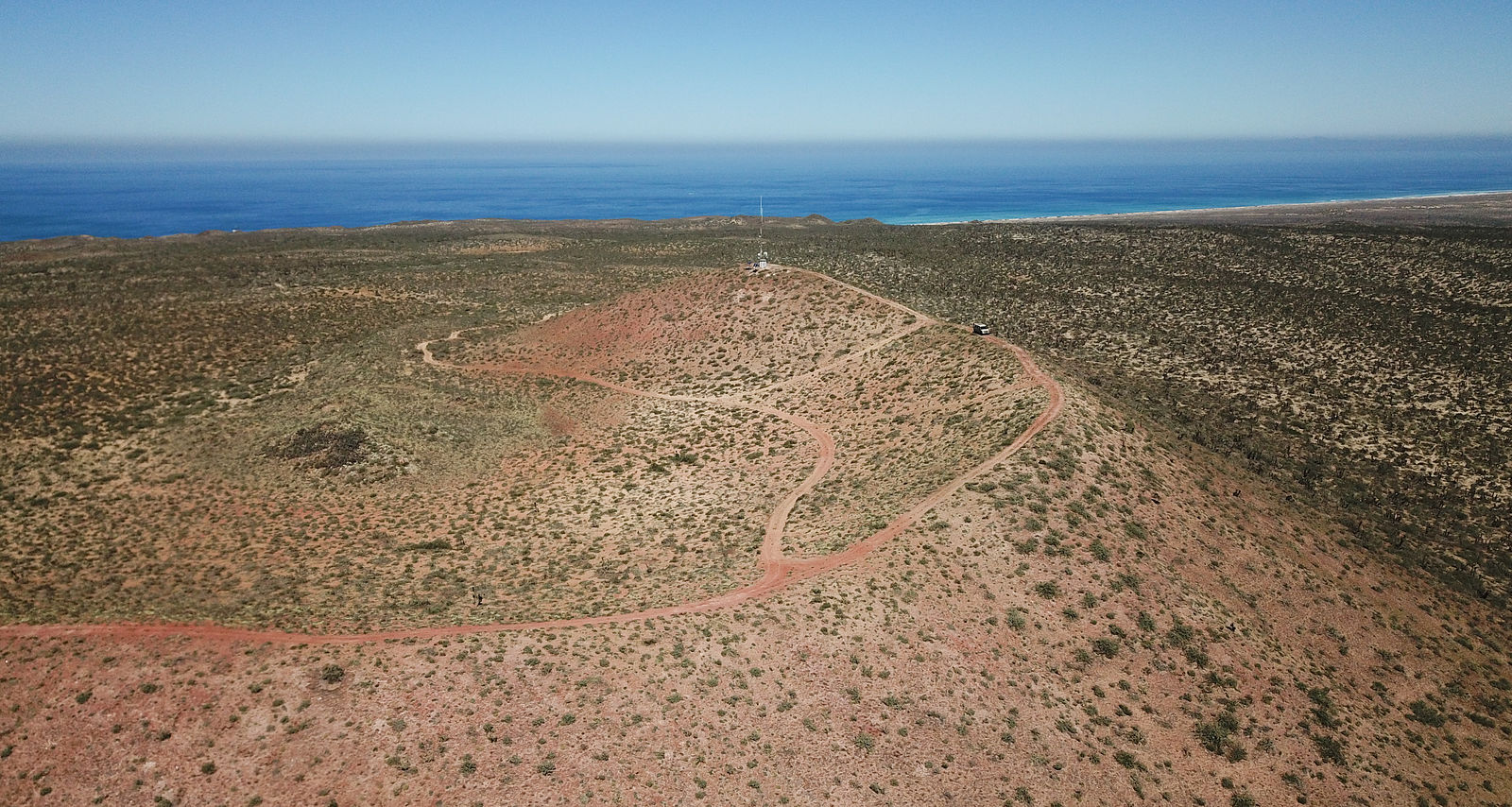
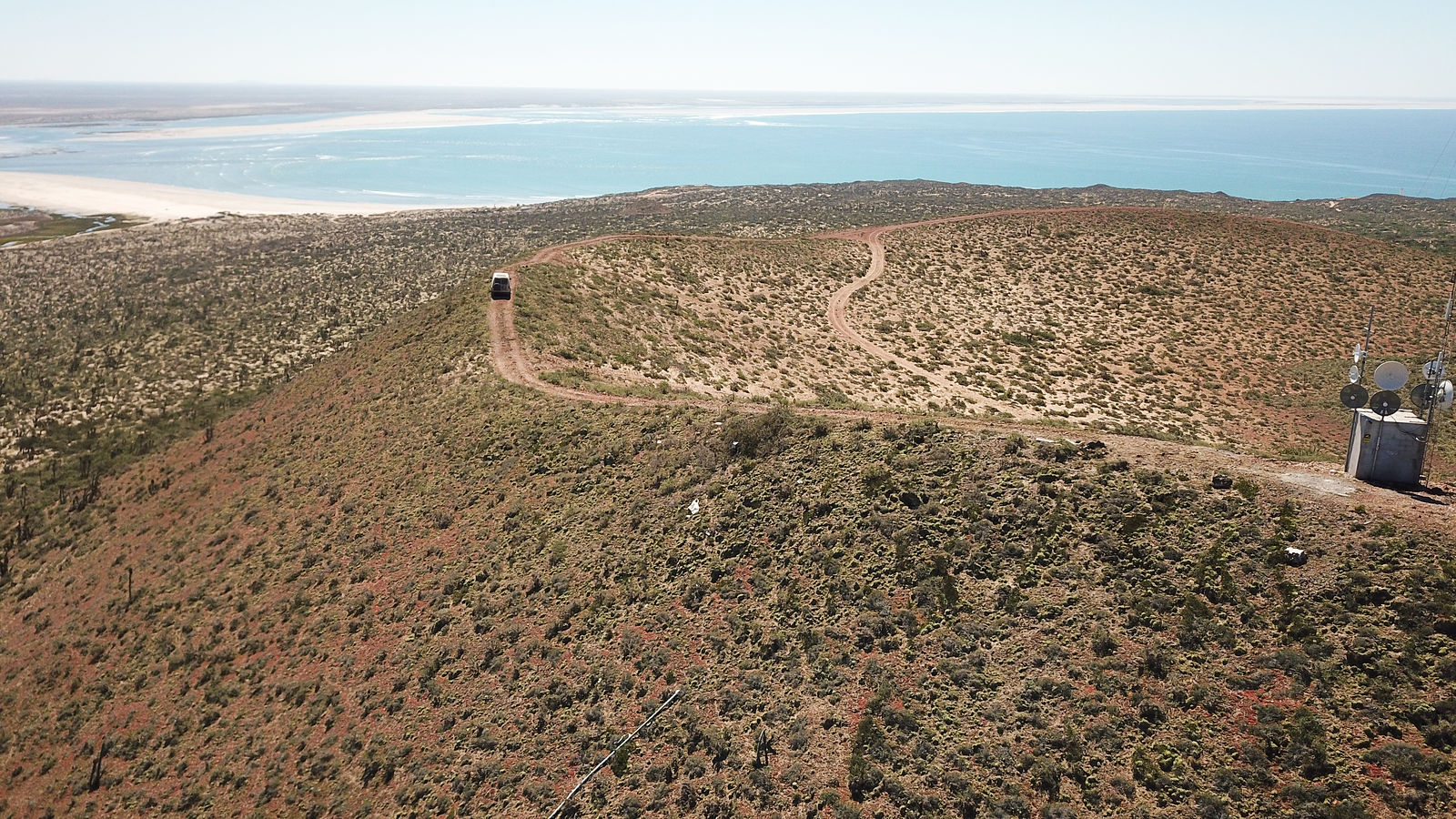
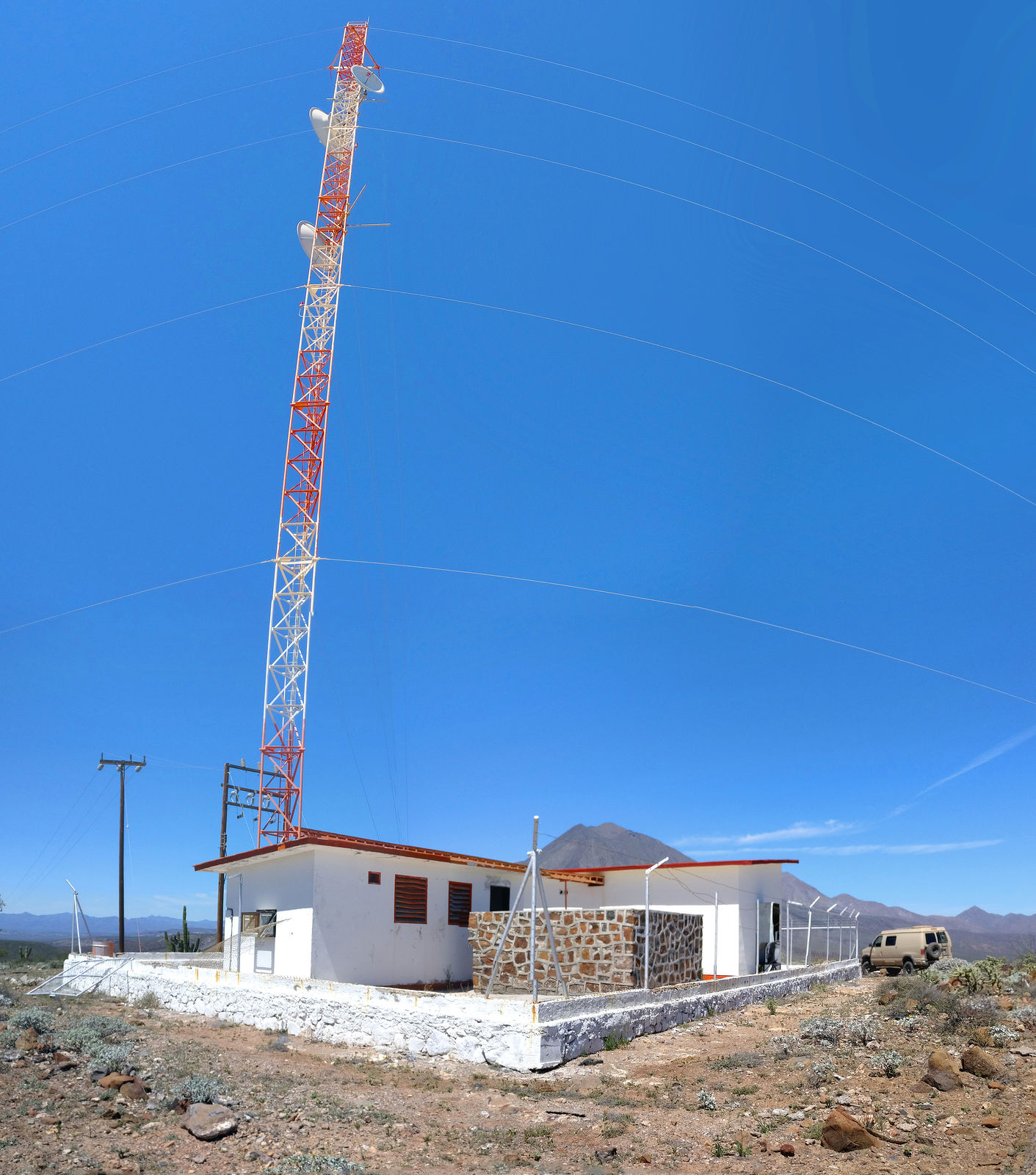
You can drive up Cerro La Bulonera for a fantastic panoramic view of the area. I didn't remember the radio communications tower being up there on my
last visit. (GPS:28.2383,-114.1054)
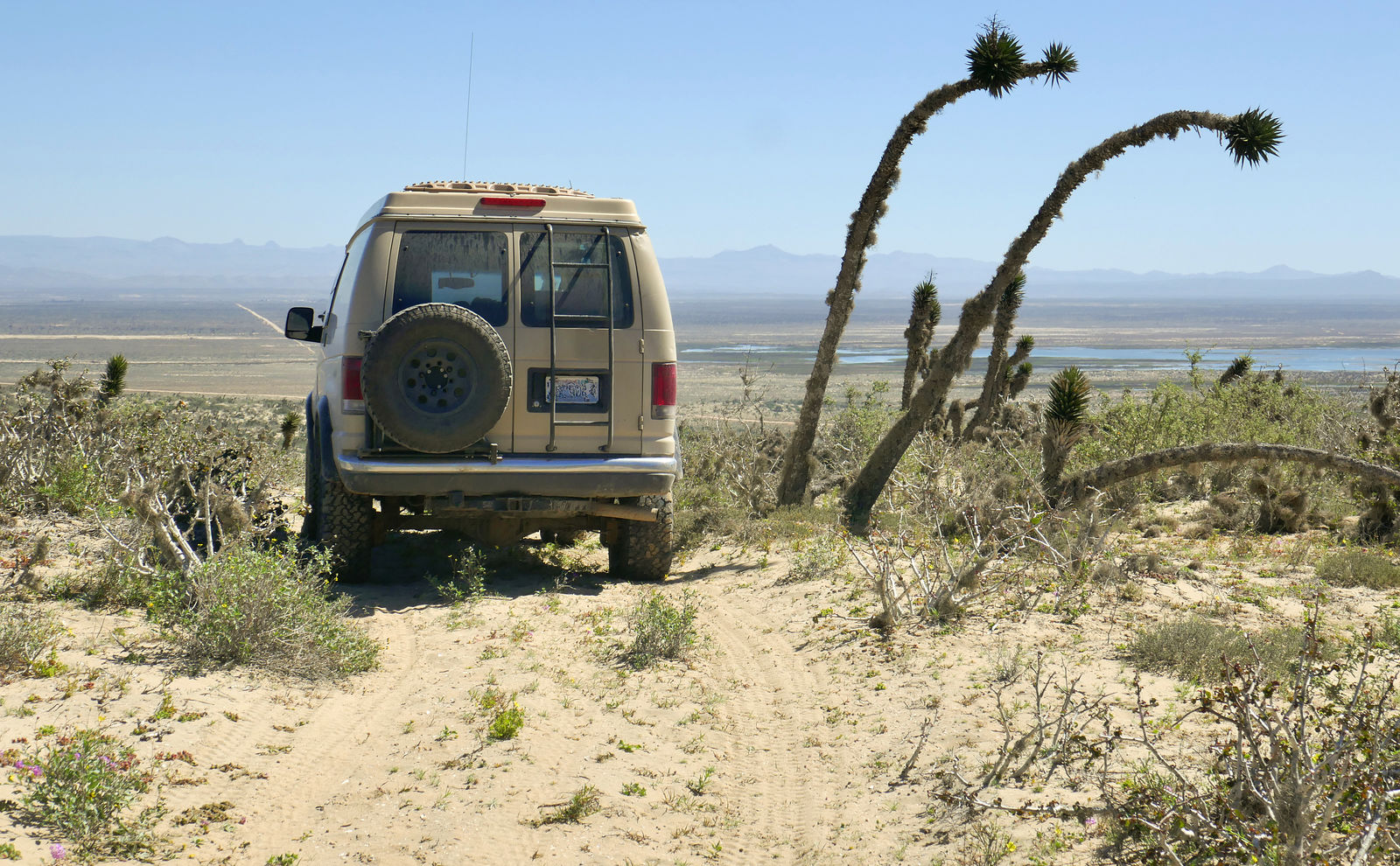
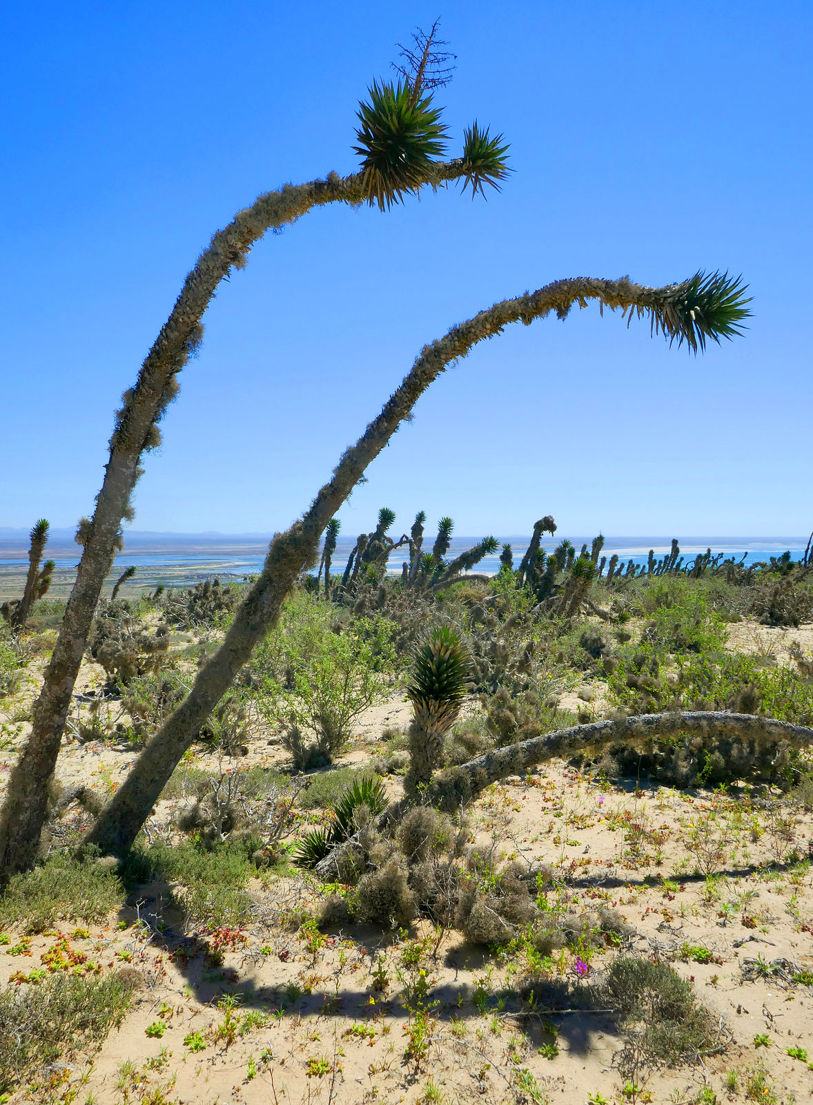
Datilillos (Tree Yucca)
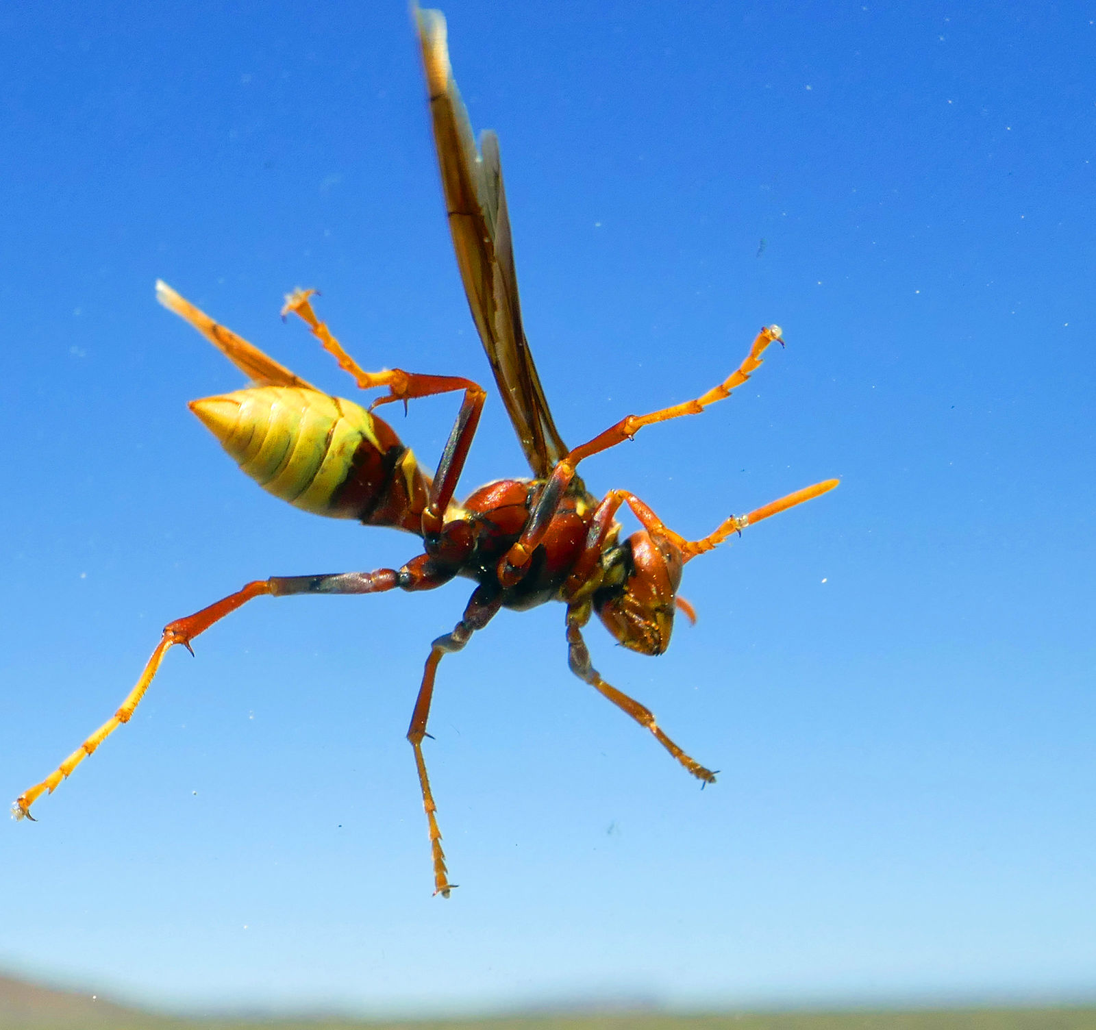
This beautiful creature paused to rest on my windshield. I didn't investigate whether she was friendly.
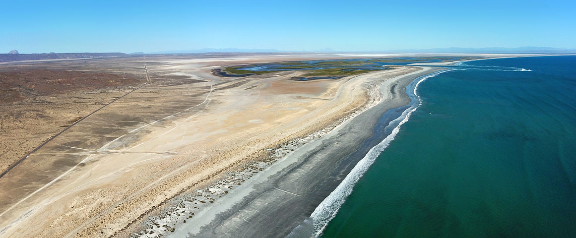
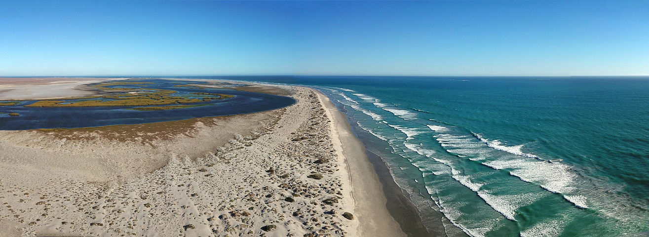
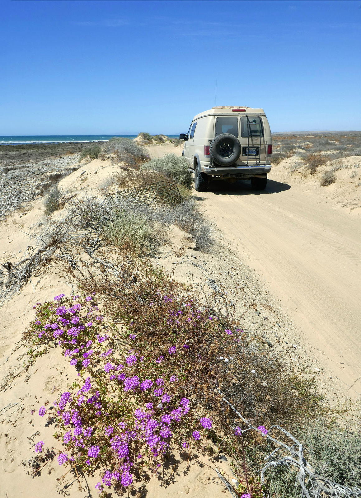
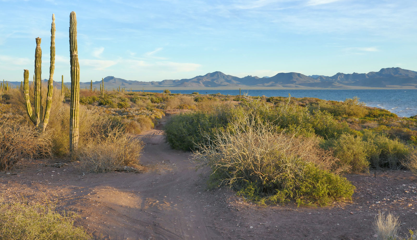
Next I made a big clockwise loop of the Vizcaino peninsula. I started at Punta Abreojos, and intended to finish by trying to get over to Malarrimo
Beach from the west.
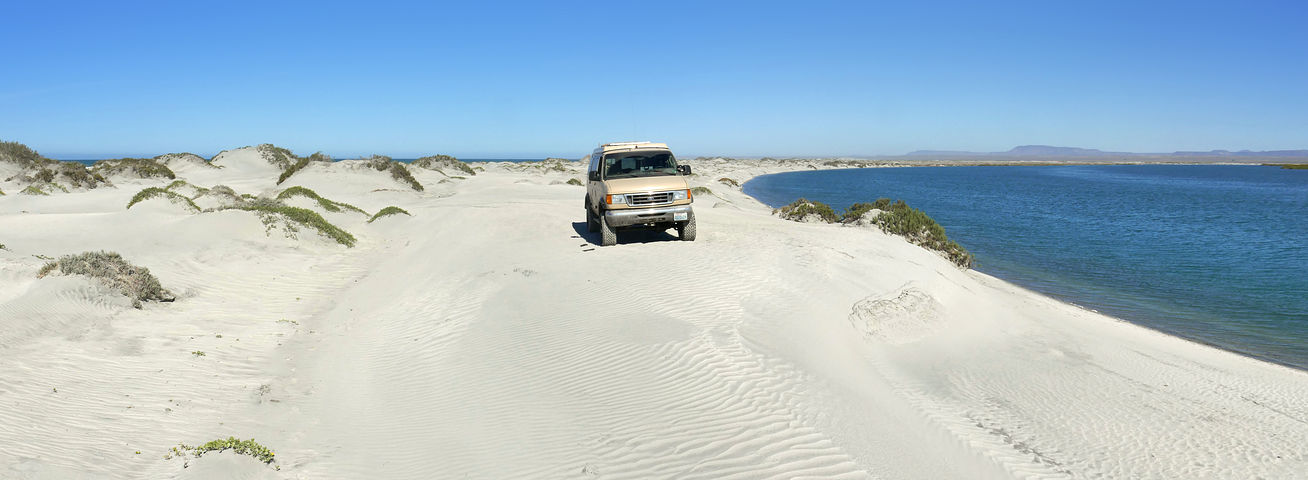
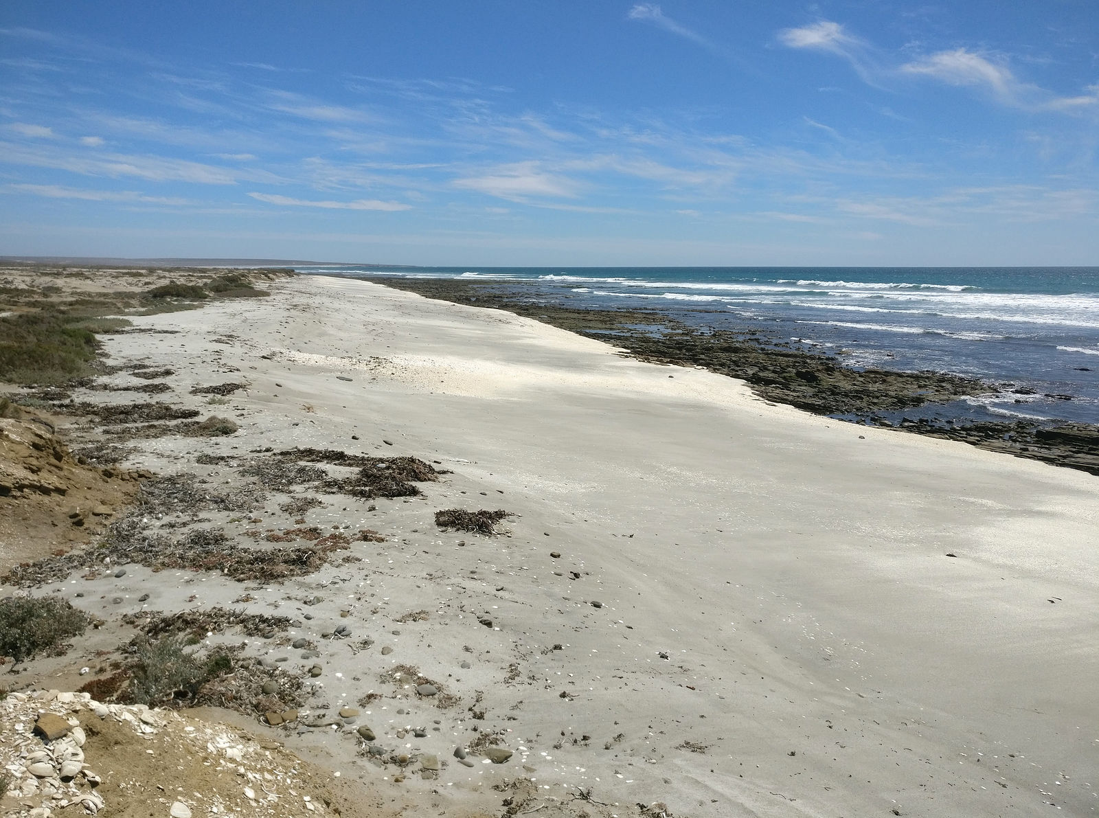
Campo Rene
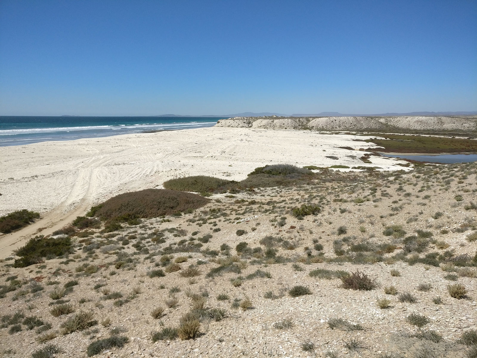
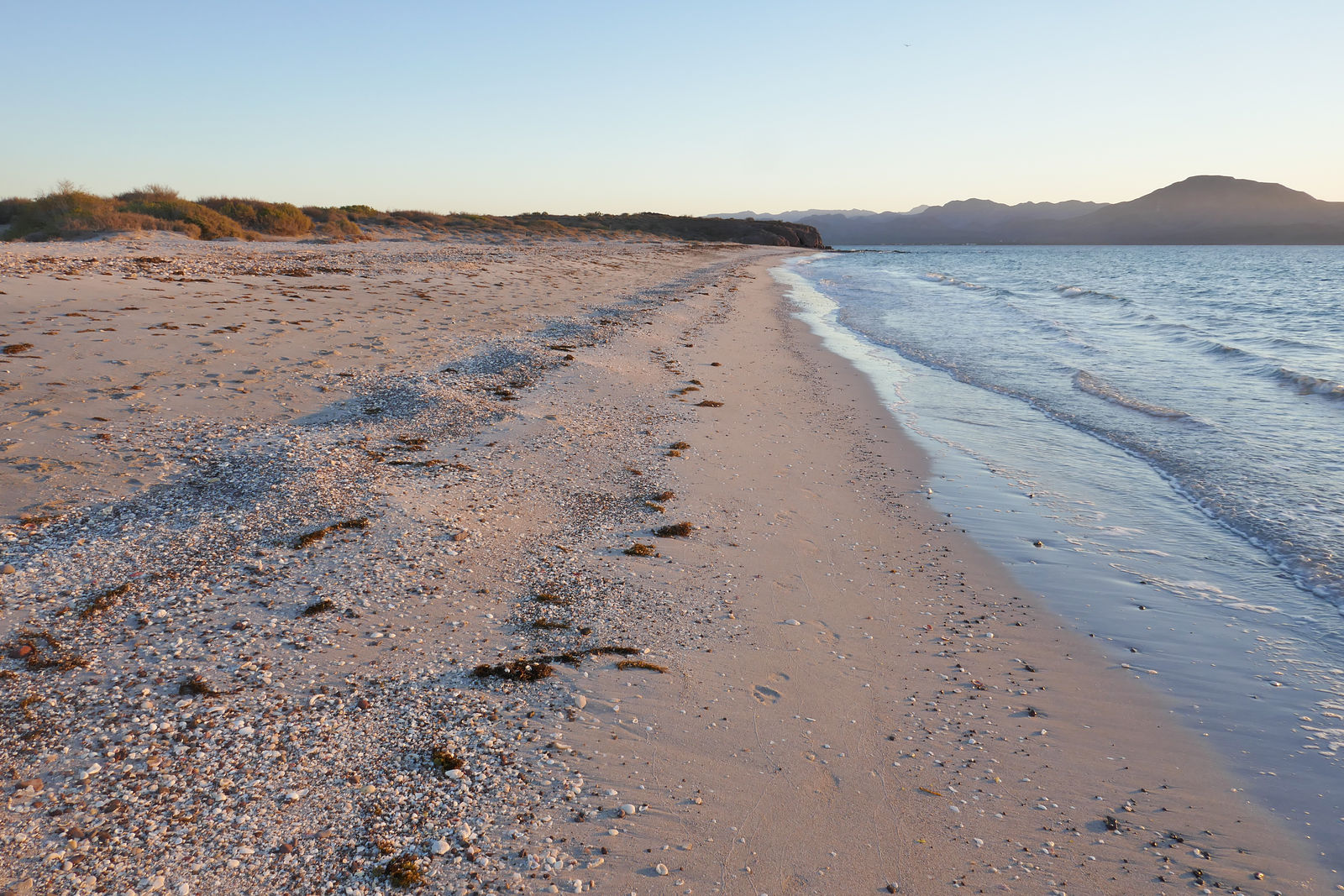
Six miles before arriving at the town of Punta Abreojos is a sand bar with extensive long flat white empty sandy beaches. (GPS:26.7914,-113.5059)
At the end of this spit is Campo Rene, on Estero El Coyote.
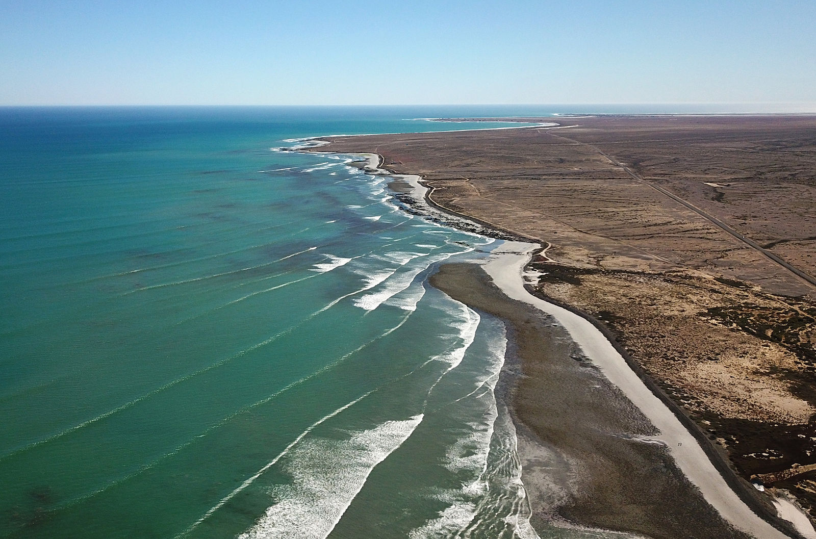
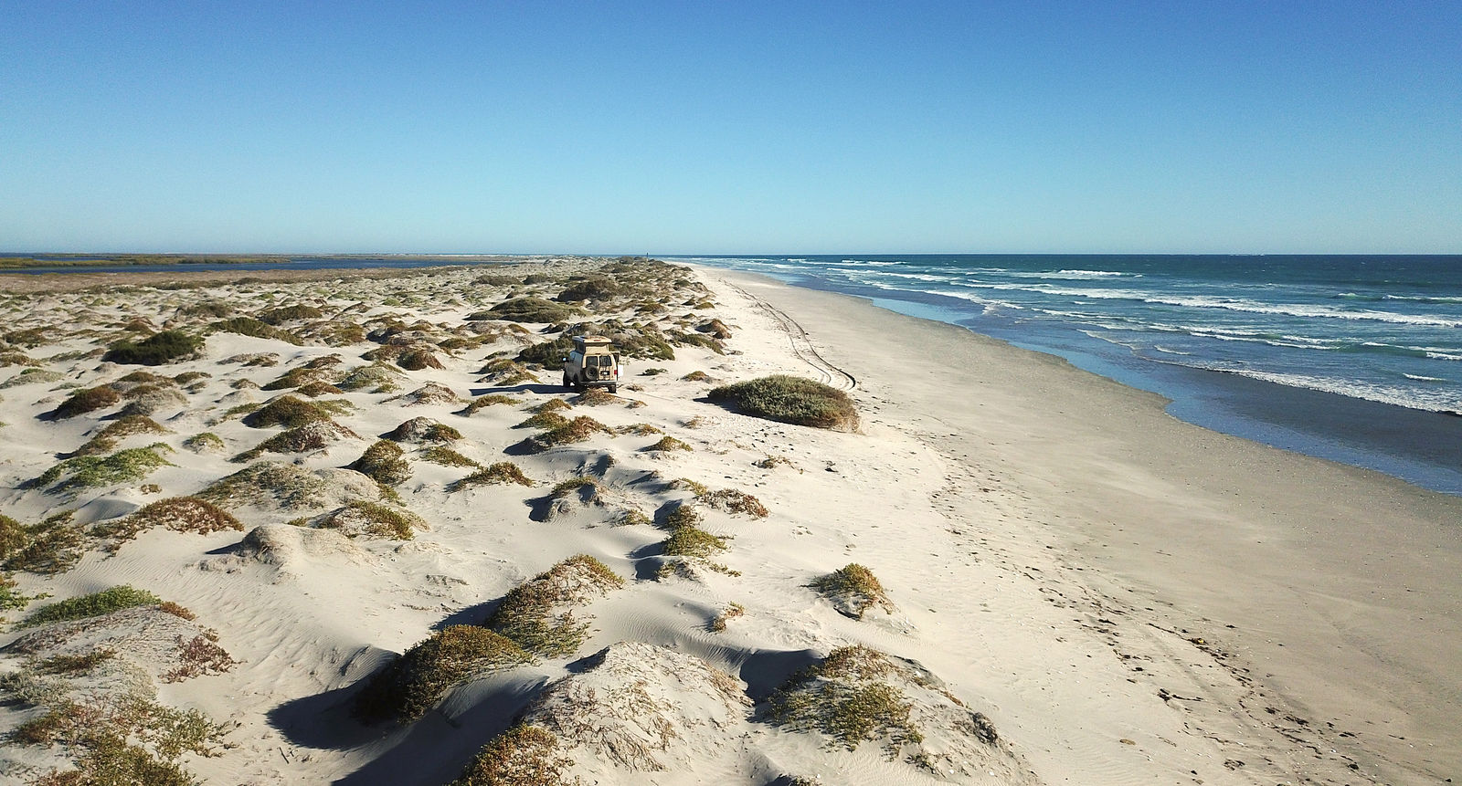
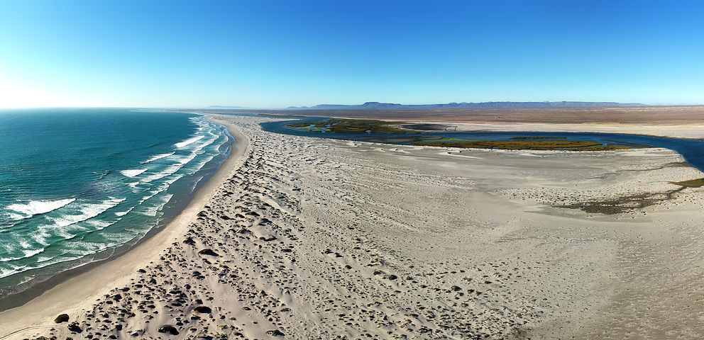
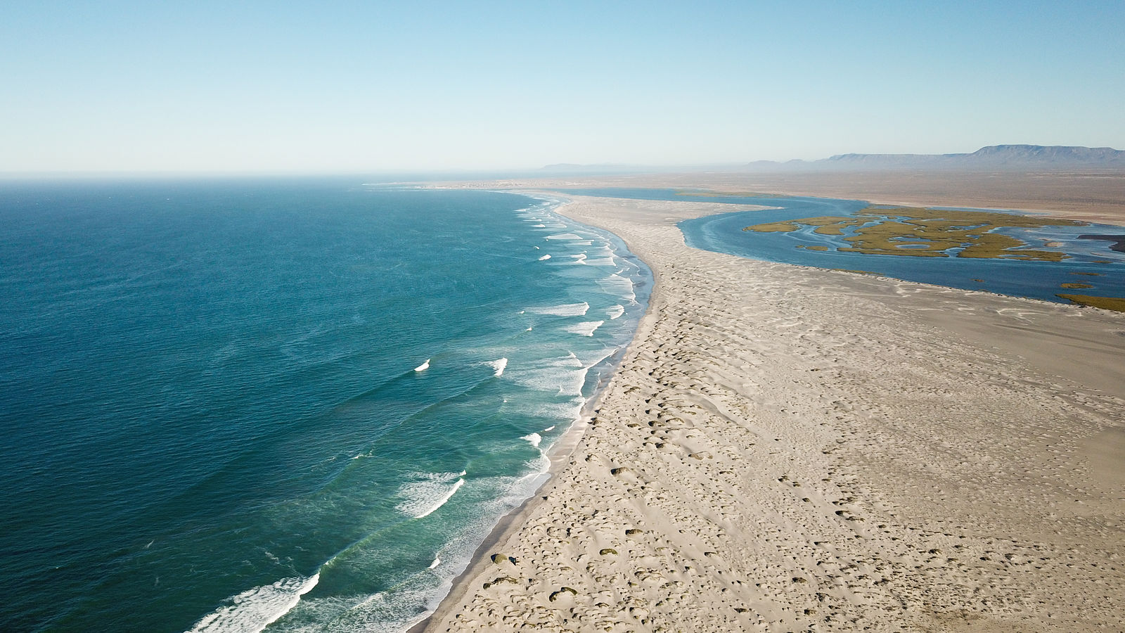
Punta Abreojos
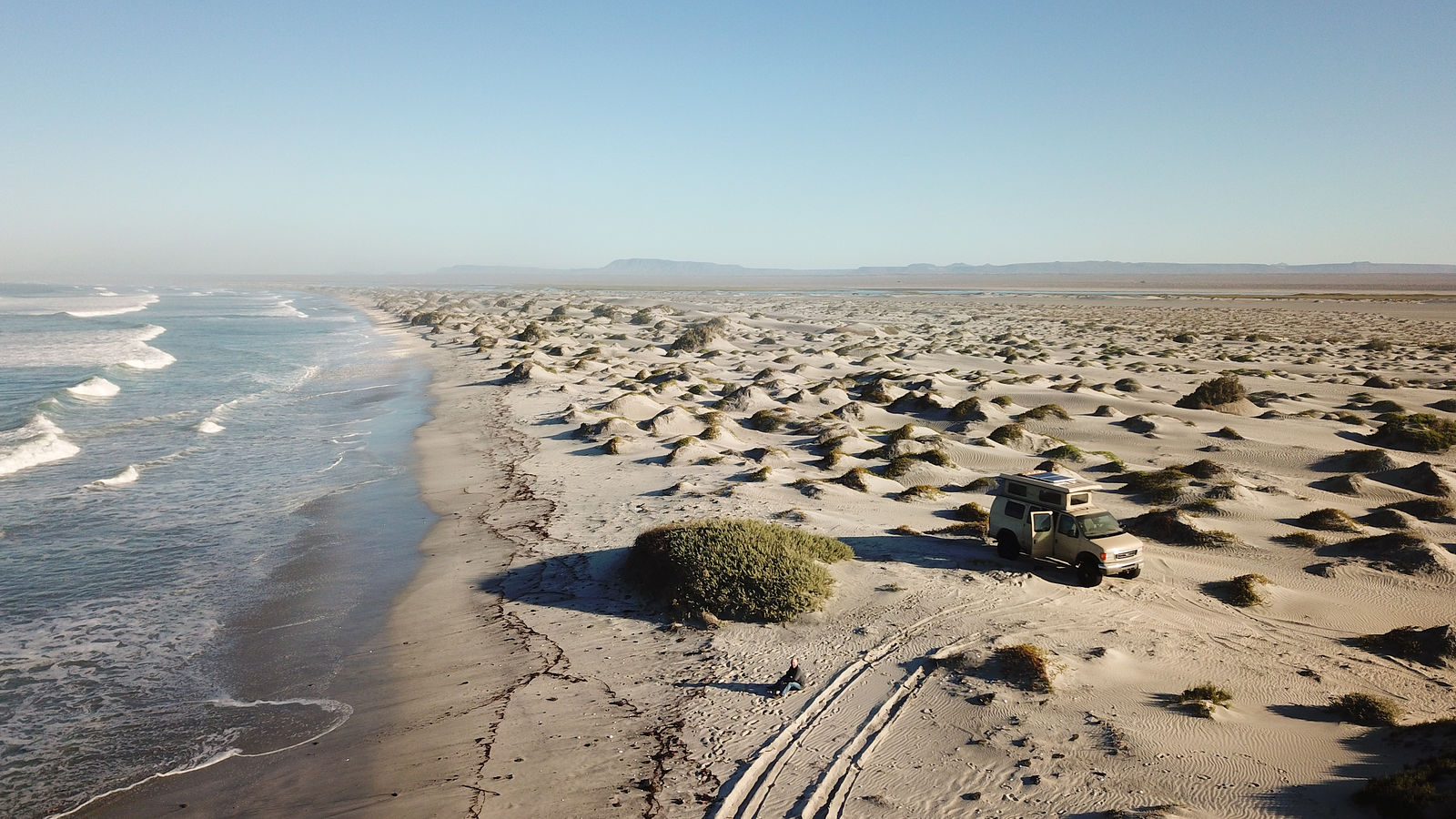
There is a 10-mile long sand bar extending northwest from Punta Abreojos. For the first 5 miles, there is a road - which ends at a fishing spot on
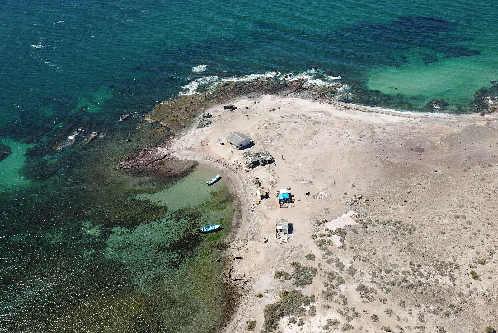
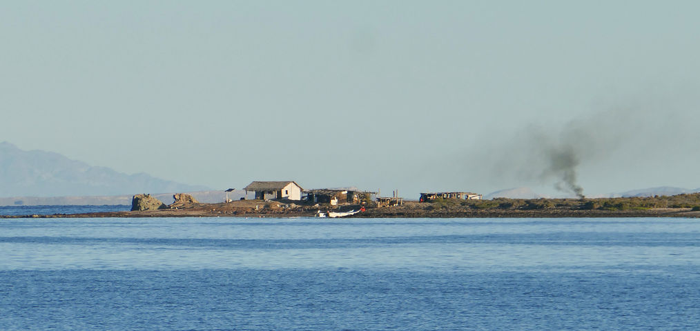
Estero la Bocana (GPS:26.7384,-113.6436). I passed the first of many "vigilancia" shacks I would come to see dotting the coastline all along Vizcaino.
These are manned by guards enforcing fish anti-poaching laws.
For privacy, I drove along the beach a mile past the end of the road, and camped between some dunes. (GPS:26.7474,-113.6505)
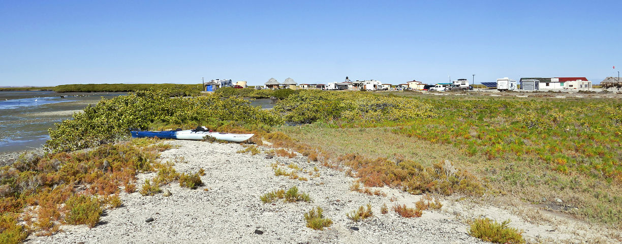
Estero la Bocana
Passing through the village of Estero la Bocana on the way to Bahía Asuncion
Bahía San Hipolito
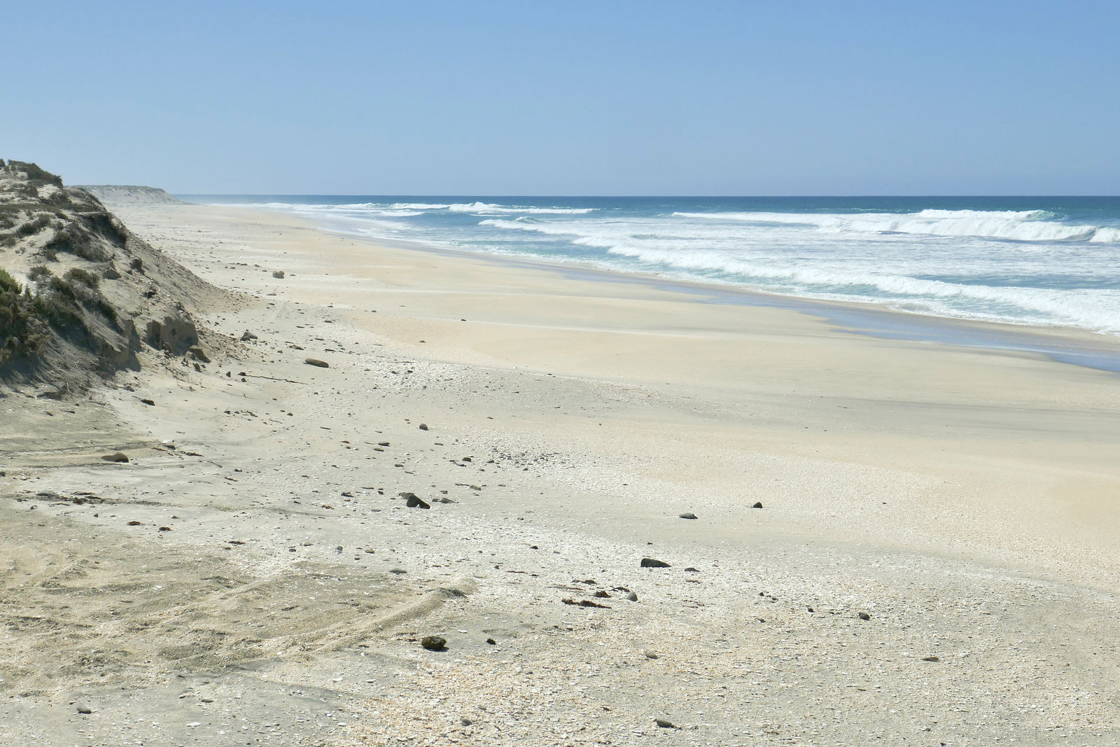
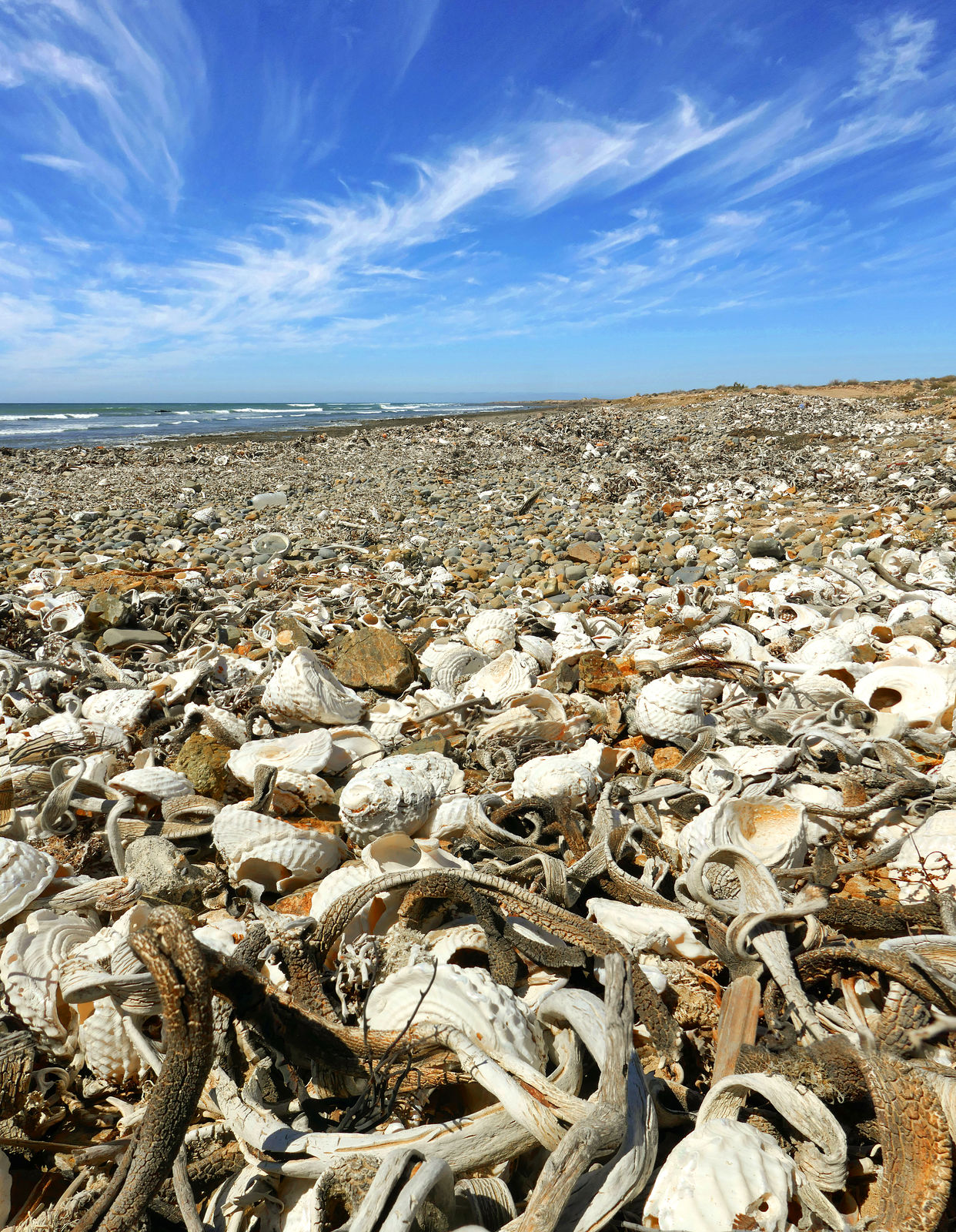
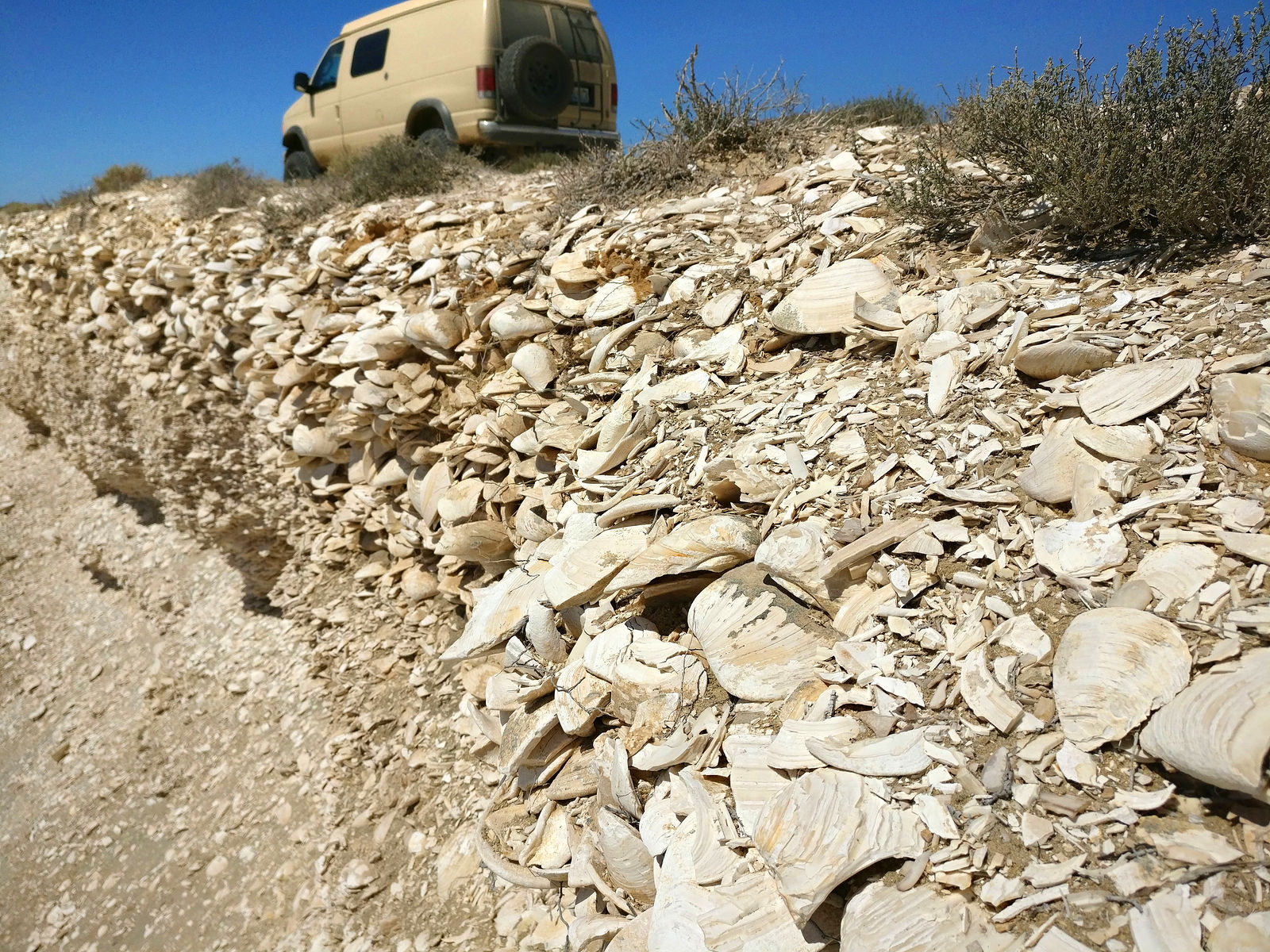
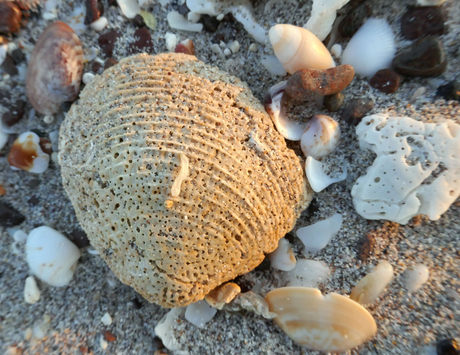
Bahía San Hipolito has a big beach of white sand and broken shells. There is beach access at El Batequito (GPS:26.8683,-113.7591)
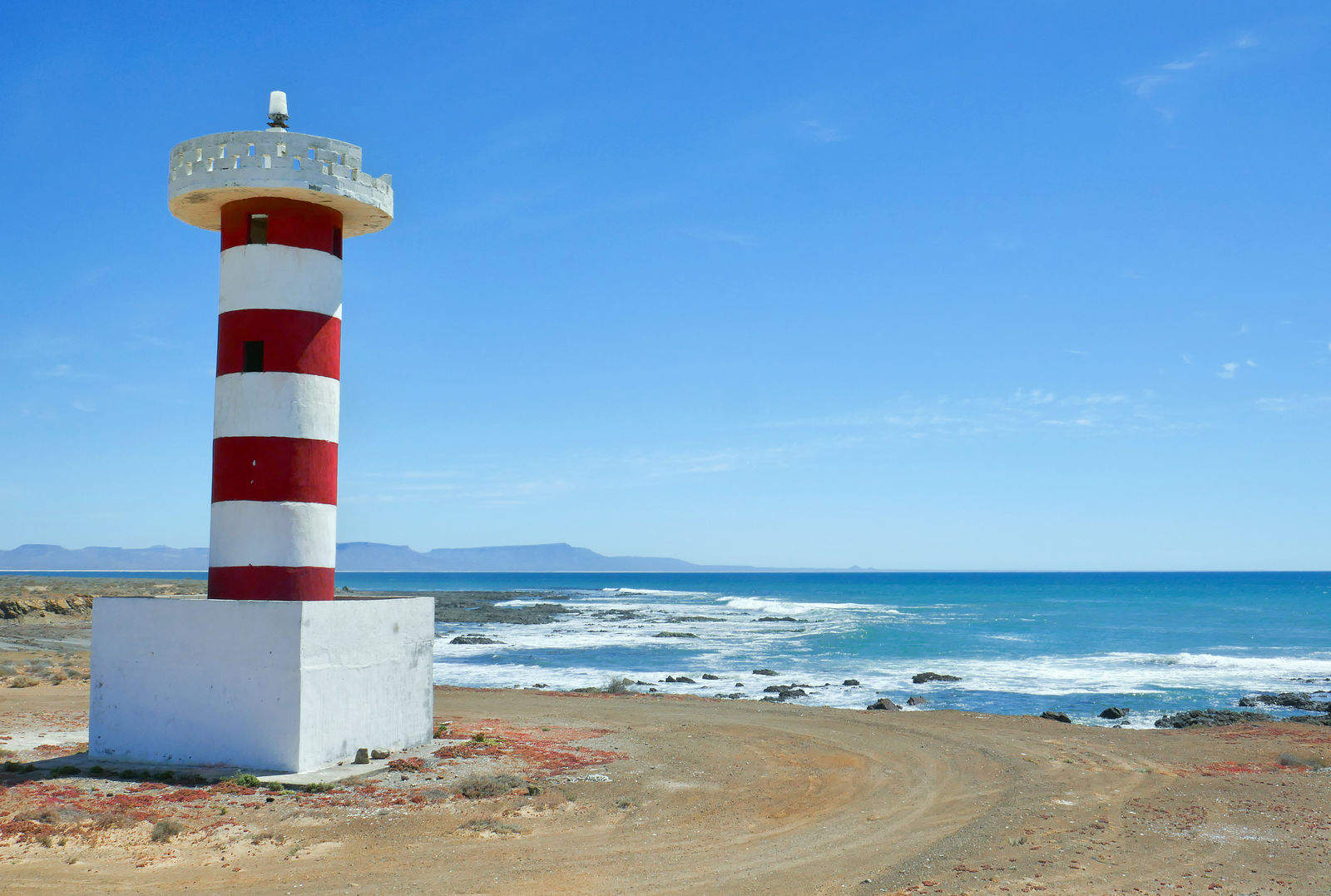
The lighthouse at Punta San Hipolito. I stopped to climb the lighthouse, and then poke around the rocks and tidepools. (GPS:26.9729,-113.9886)
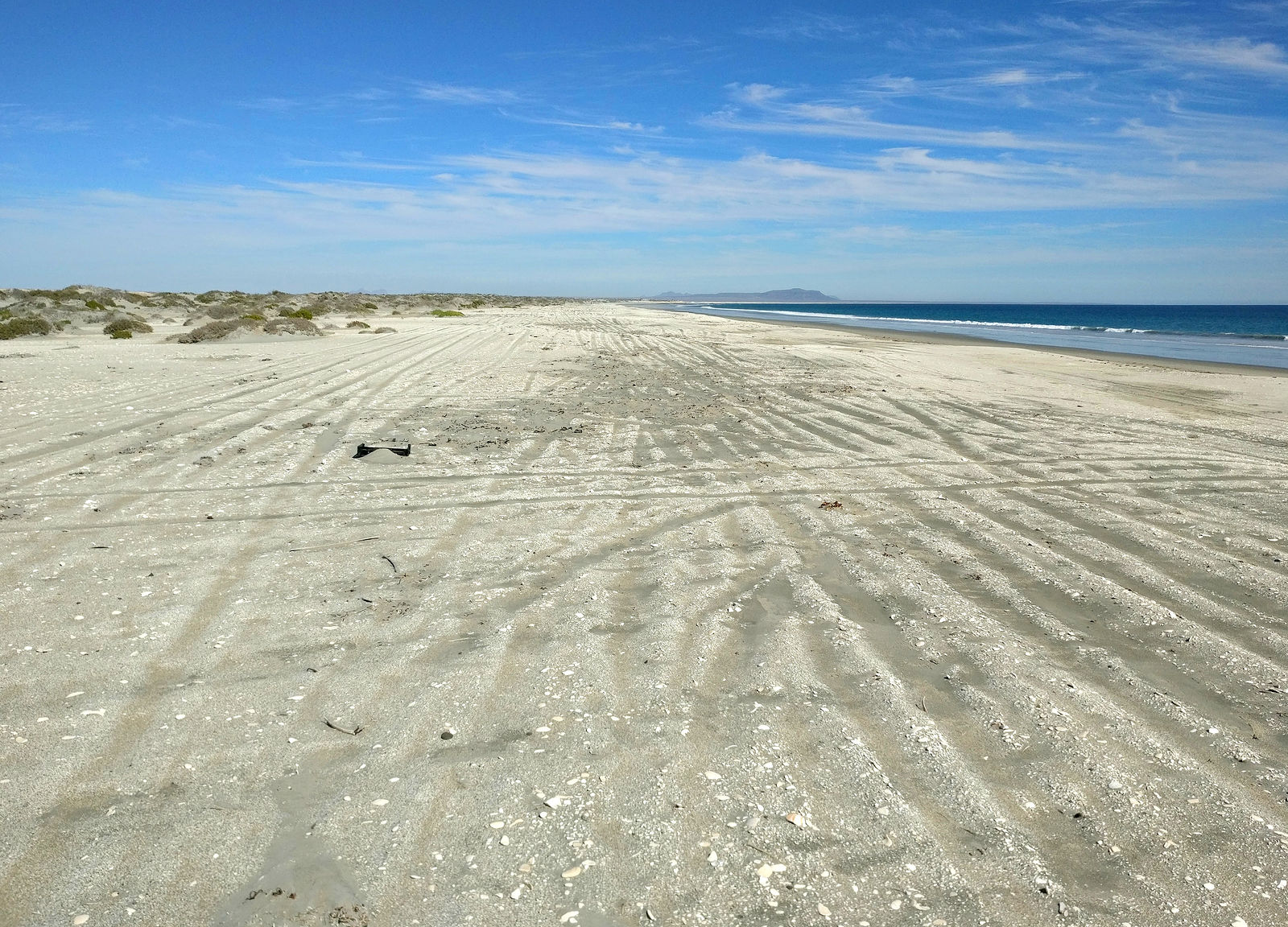
Scenic beach continues around the corner of Punta los Lobos.
Bahía la Asuncion
Continuing northwest, I passed Punta Prieta on to the beaches of Bahía La Asuncion. Here's another vigilancia shack. (GPS:27.0359,-114.0533)
Passing through the fishing village of San Roque, I saw that their burned-out church has been rebuilt.
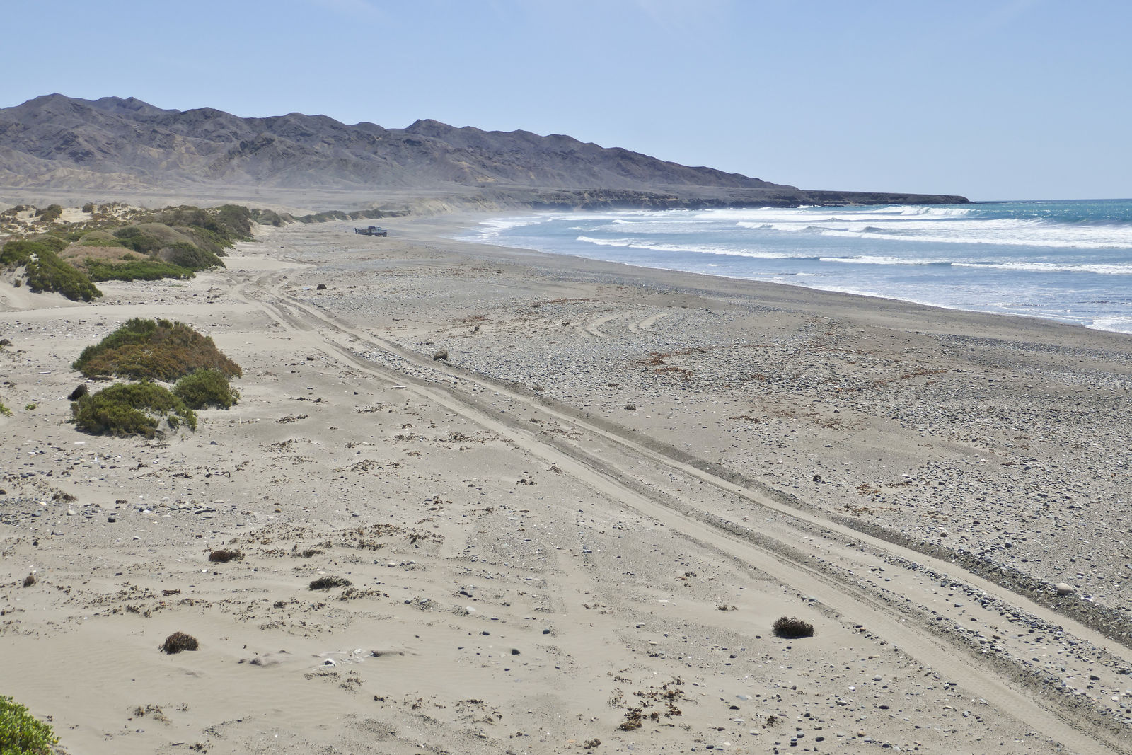
Playon San Pablo
Around the corner from Punta San Roque is the beach Playon San Pablo. You can get there by heading north over the steep windy vigilancia tracks on the
rocks of Punta San Roque, but this time I took an easier inland route. I turned southeast at (GPS:27.2115,-114.4064) and followed arroyo San Andrés
down to the shore. (GPS:27.2061,-114.4311)
As the sun set, I played a little game of at making at least a small effort to minimize my use of lights, as to not attract the attention of the
vigilancia - whose shack I could see perched up on the rocks at the south end of the beach. But, sure enough, just as I was dozing off to sleep, a
pickup truck roared up and some vigilancia guys jumped out to check in on me. As always, they were perfectly friendly, but late night visits from
strangers aren't a feature I look for in my vacations.
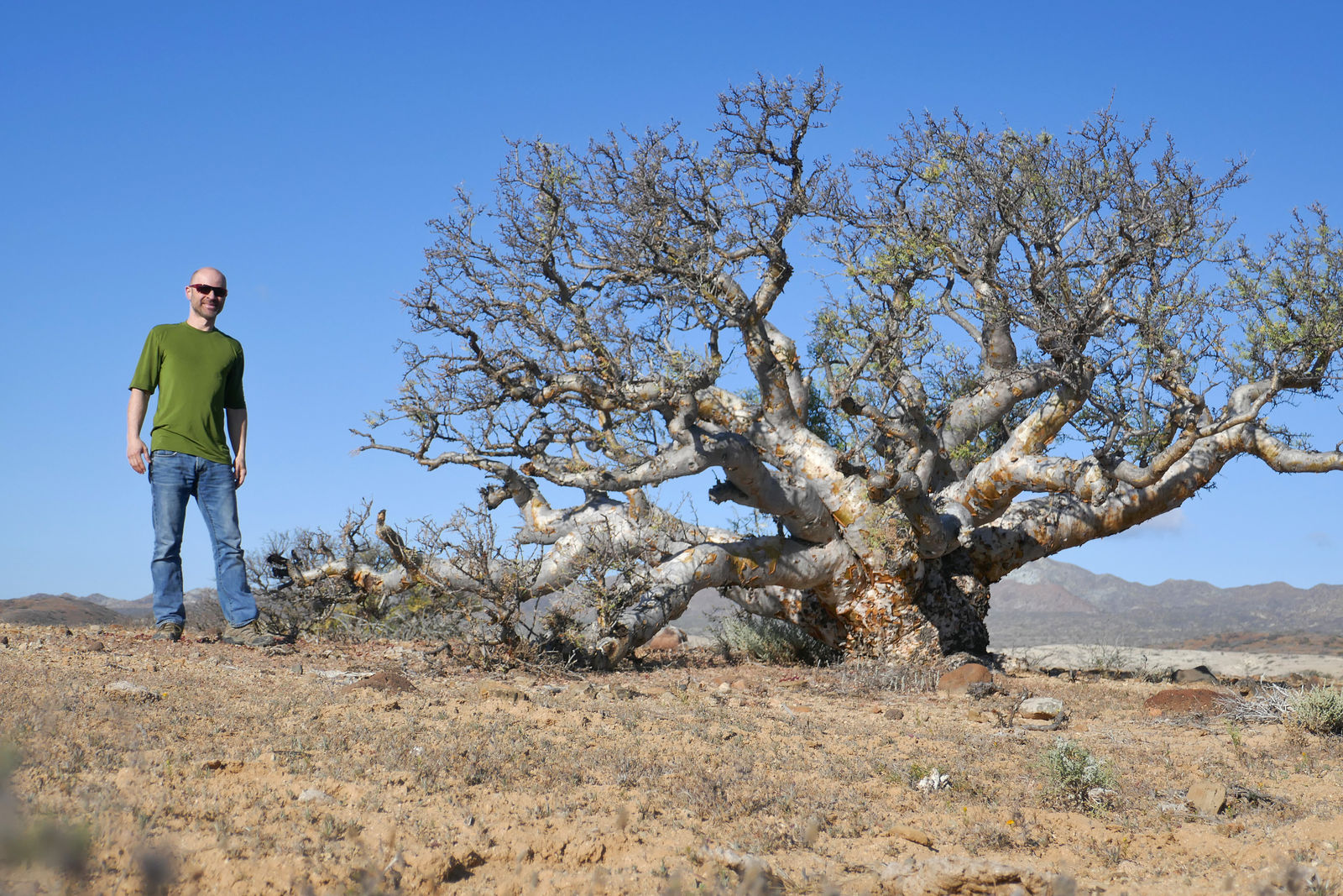
The next day I headed back along arroyo San Andrés and went then north-northwest a few miles inland to Bahía San Cristóbal. I started seeing a
bunch of elephant trees (a "forest" perhaps?) in the vicinity of a hill the map calls Cierra el Elefante.
Bahía San Cristóbal
I followed arroyo El Tordillo down to check out this beach on Bahía San Cristóbal. (GPS:27.3246,-114.4861)
A bit farther north, I tried again using the access the shore, via road to the San Cristobal and Puerto Nuevo. I found this route to be blocked by a
locked gate at (GPS:27.4068,-114.4749)
El Playon
I made it back to the main Vizcaino highway at San José de Castro, and continued northwest past Bahía Tortugas towards Punta Eugenia, checking out
some beaches on the way. Here is El Playon, a decent beach, but the lagoon seems to collect trash blown about. Blowing trash is sadly a common issue
in the Vizcaino. (GPS:27.7100,-114.9441)
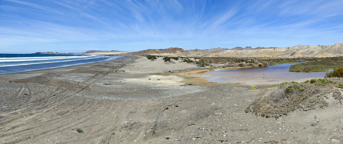
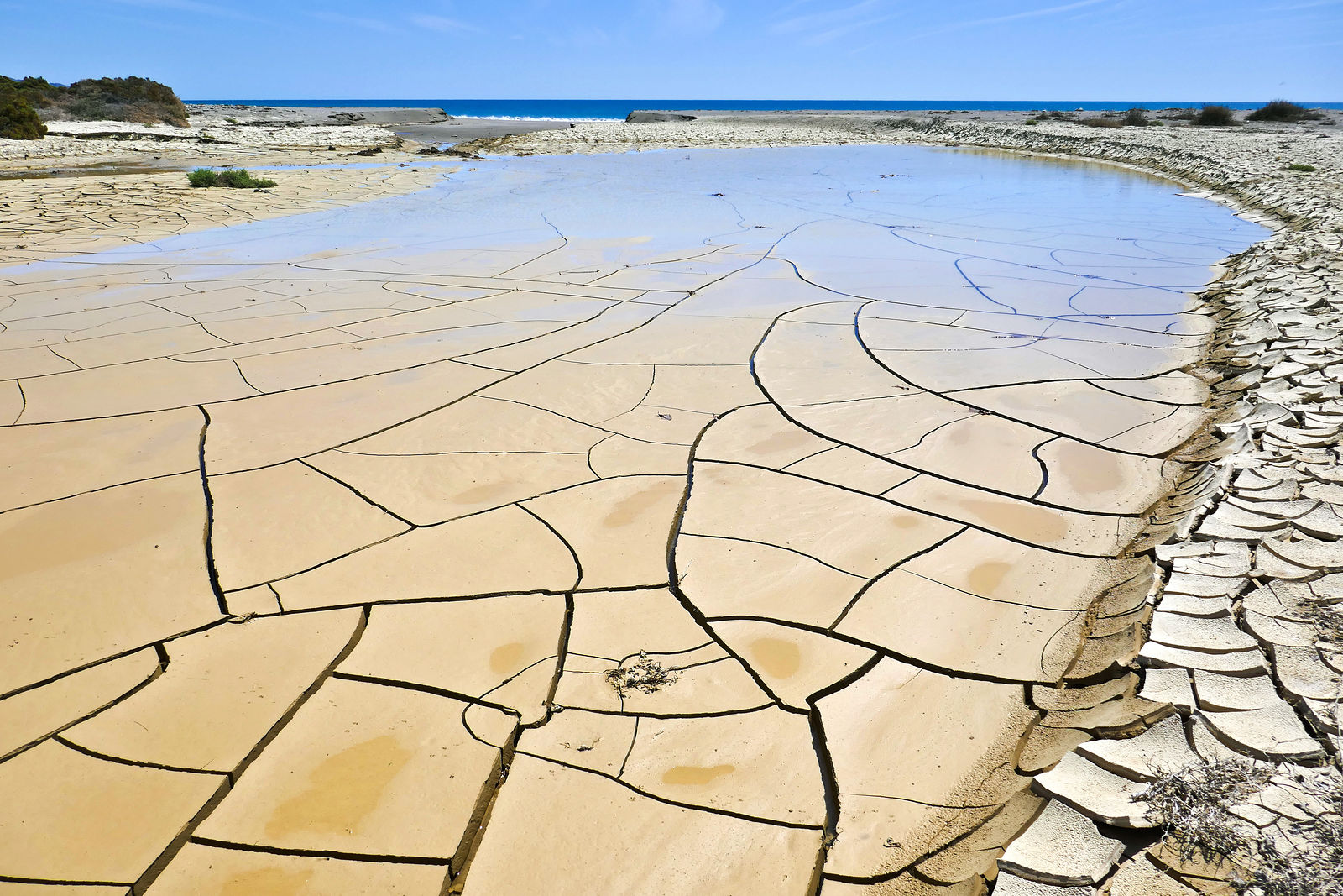
Punta Quebrada
The next beach is just southeast of the Punta Quebrada fishing camp. Being in sight of houses doesn't make this place very private. And the road ends
in mud which prevented me from driving all the way to the beach. But this slowly drying mud held my interest with its compelling irregular pattern of
cracks. (GPS:27.7297,-114.9874)
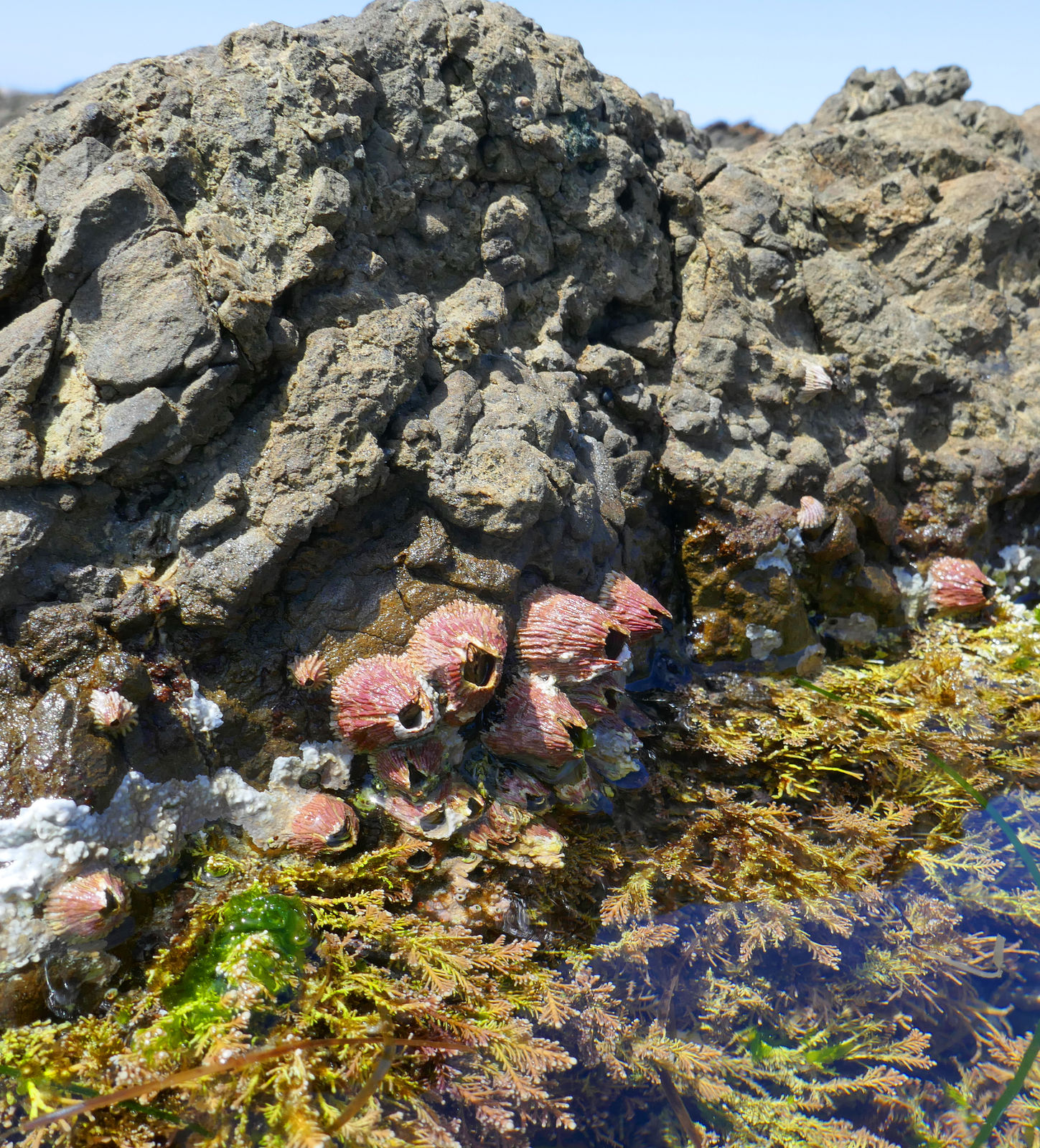
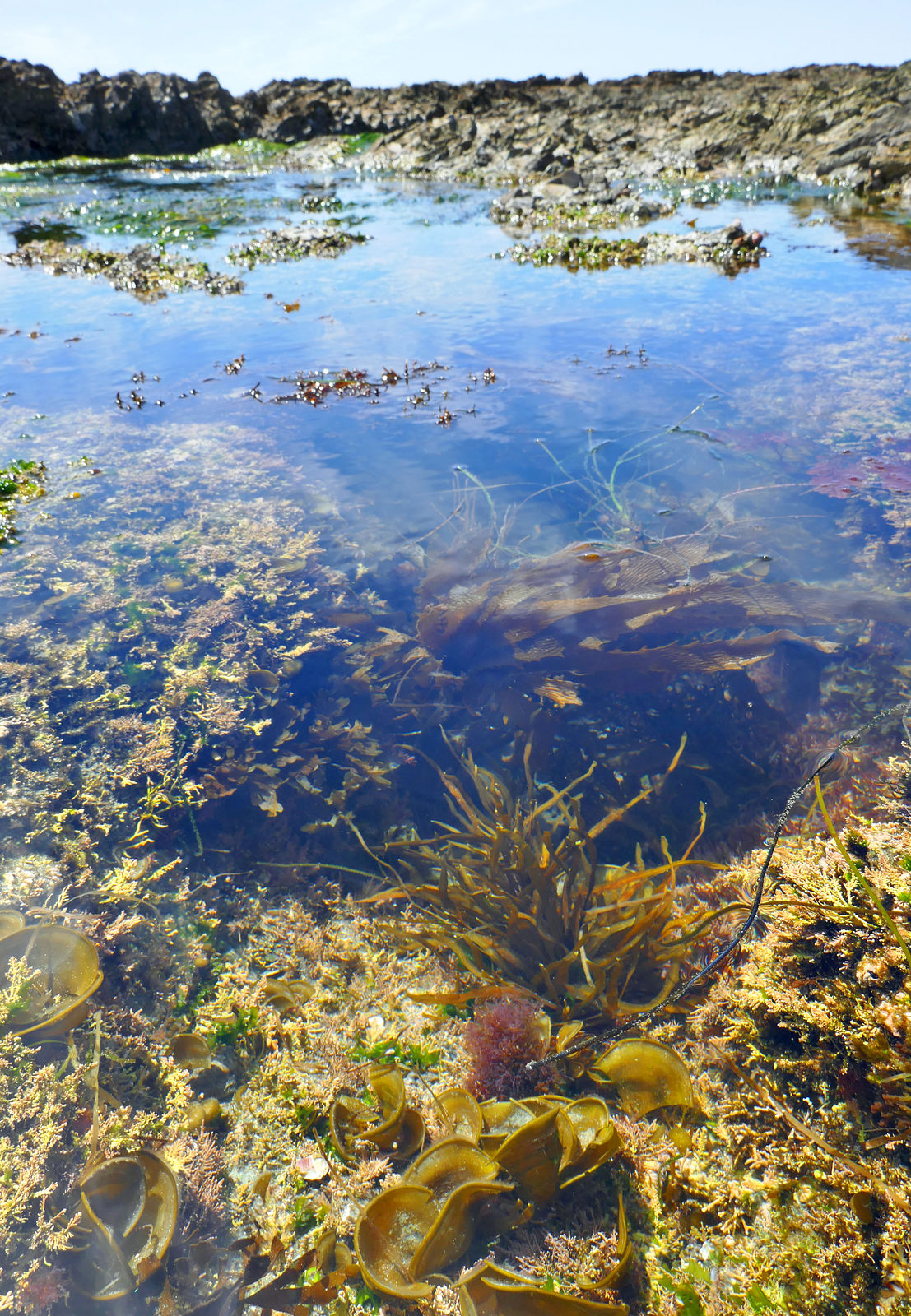
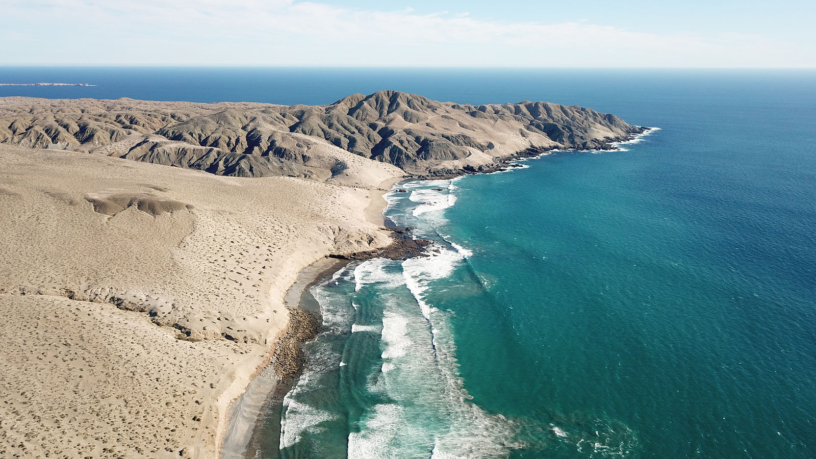
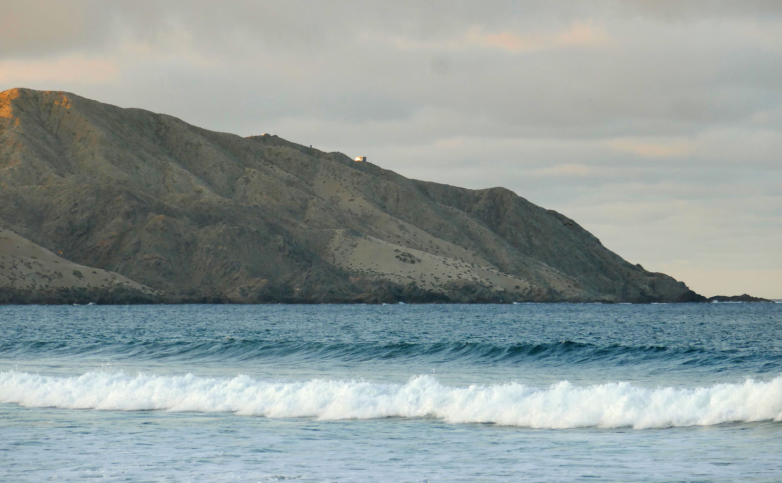
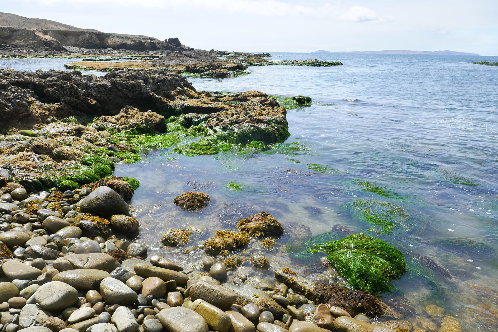
Punta Eugenia
Here are the rocky tidepools of Punta Eugenia, at the very tip of the Vizcaino peninsula. (GPS:27.8538,-115.0727)
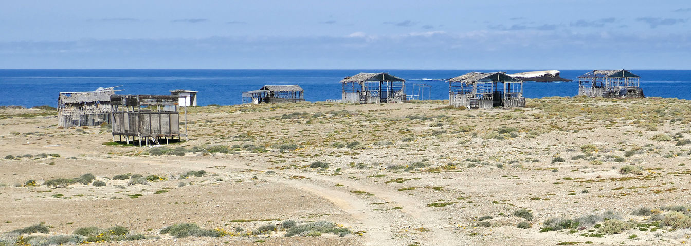
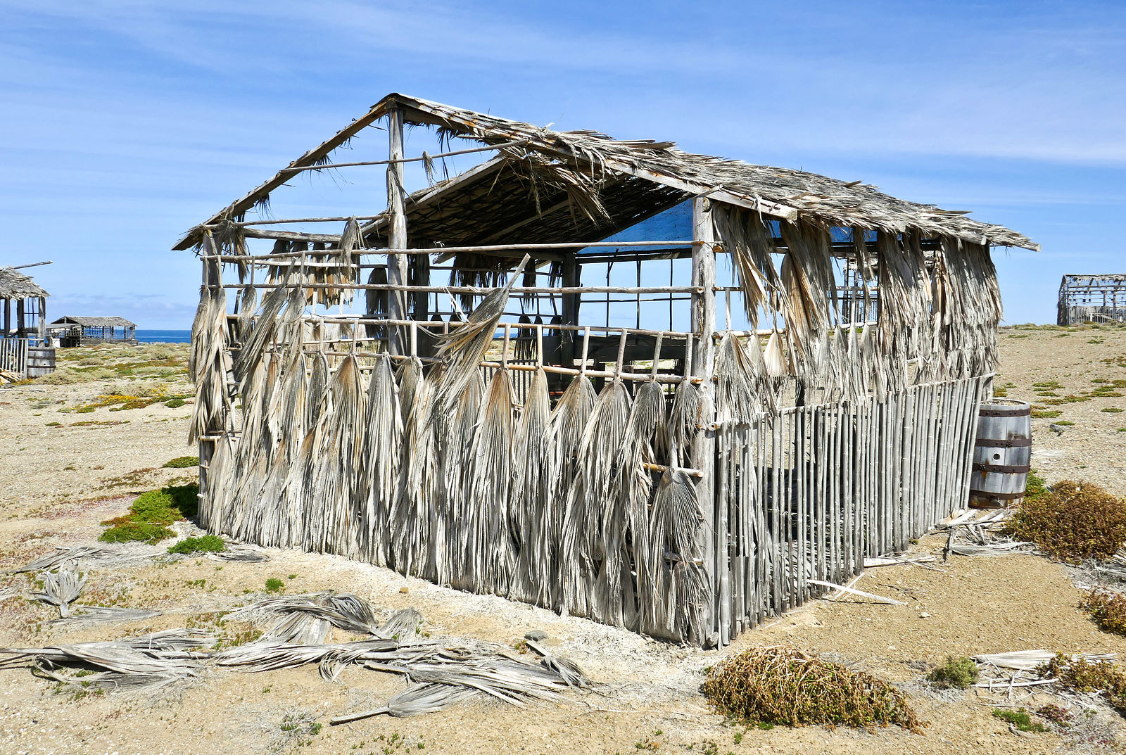
Punta Falsa
The road continues a little farther, around the corner to the right, passing Punta Falsa where these abandoned cabanas made of wood and palm fronds
are slowly decaying. It looks like care was taken in building them at some point, but now they are slowly blowing apart. Some are still padlocked
shut, despite the gaping holes in the walls. Anyone know their story? (GPS:27.8608,-115.0557)
Punta Puerto Escondido
The road ends at Punta Puerto Escondido, where there is a final vigilancia shack. (GPS:27.8564,-115.0419) I peeked around the corner, looking east
along the north shore of the Vizcaino towards Malarrimo.
North Shore of Vizcaino
However, there is no road east along the next six miles of the rocky north shore. So, to continue my tour, I had to retrace my steps to Bahía
Tortugas, and then head north from there.
On the way I made one quick detour to check out the view from some communication towers I spotted. (GPS:27.7801,-115.0004)
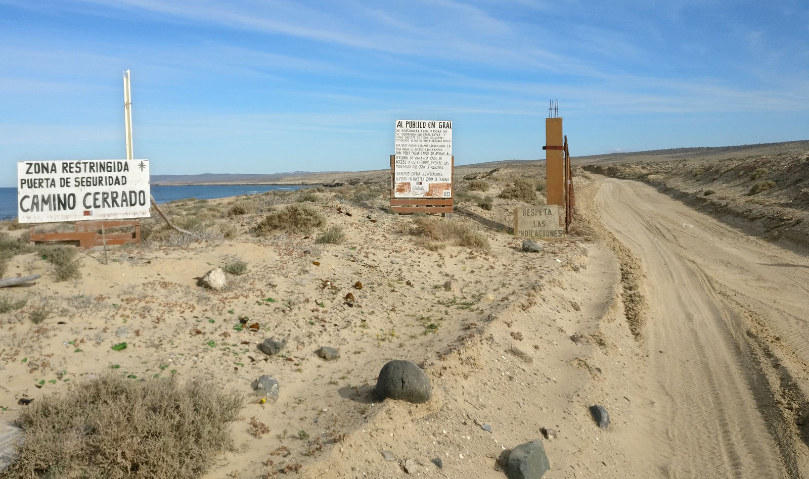
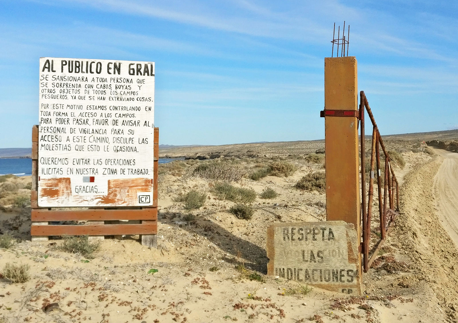
Returning to the north shore near El Chevo, I made my way east to the fishing village of Malarrimo. I had intended to keep wandering east to see if I
could make it all the way to Malarrimo Beach (the famous “trash” beach), but these signs made it clear that the vigilancia did not want tourists
driving through here without their explicit permission. (GPS:27.7952,-114.7184)
Oh well... I did my best to see most of Vizcaino. With all the vigilancia, I probably won't be drawn to do much more camping around here in the
future.
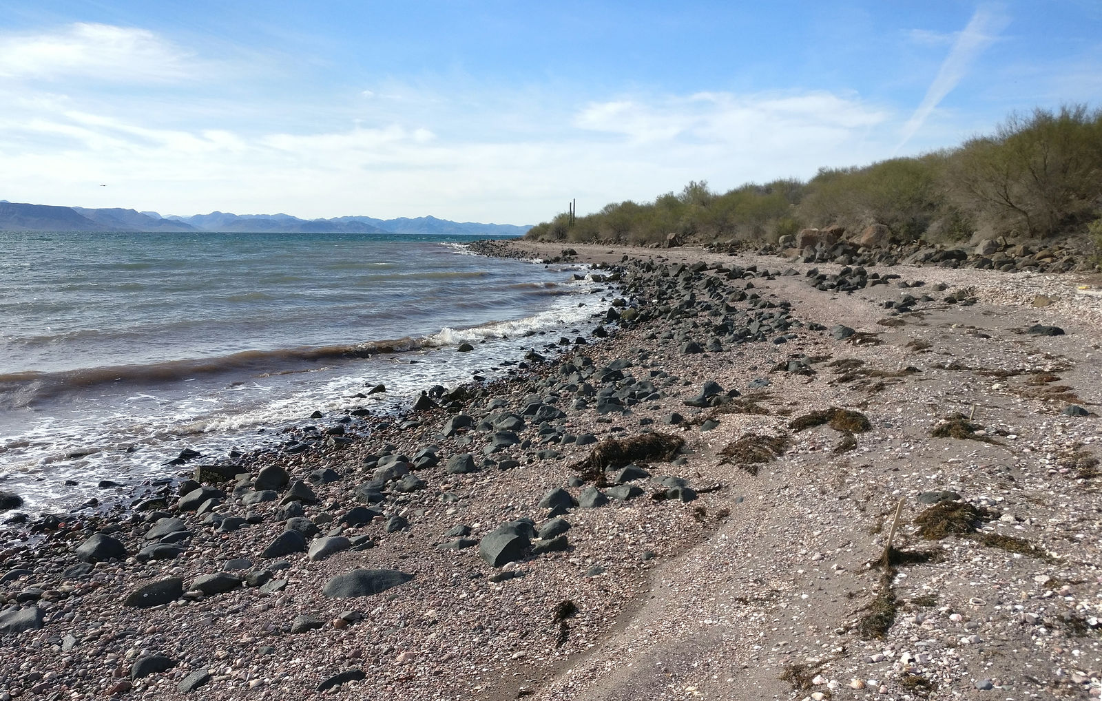
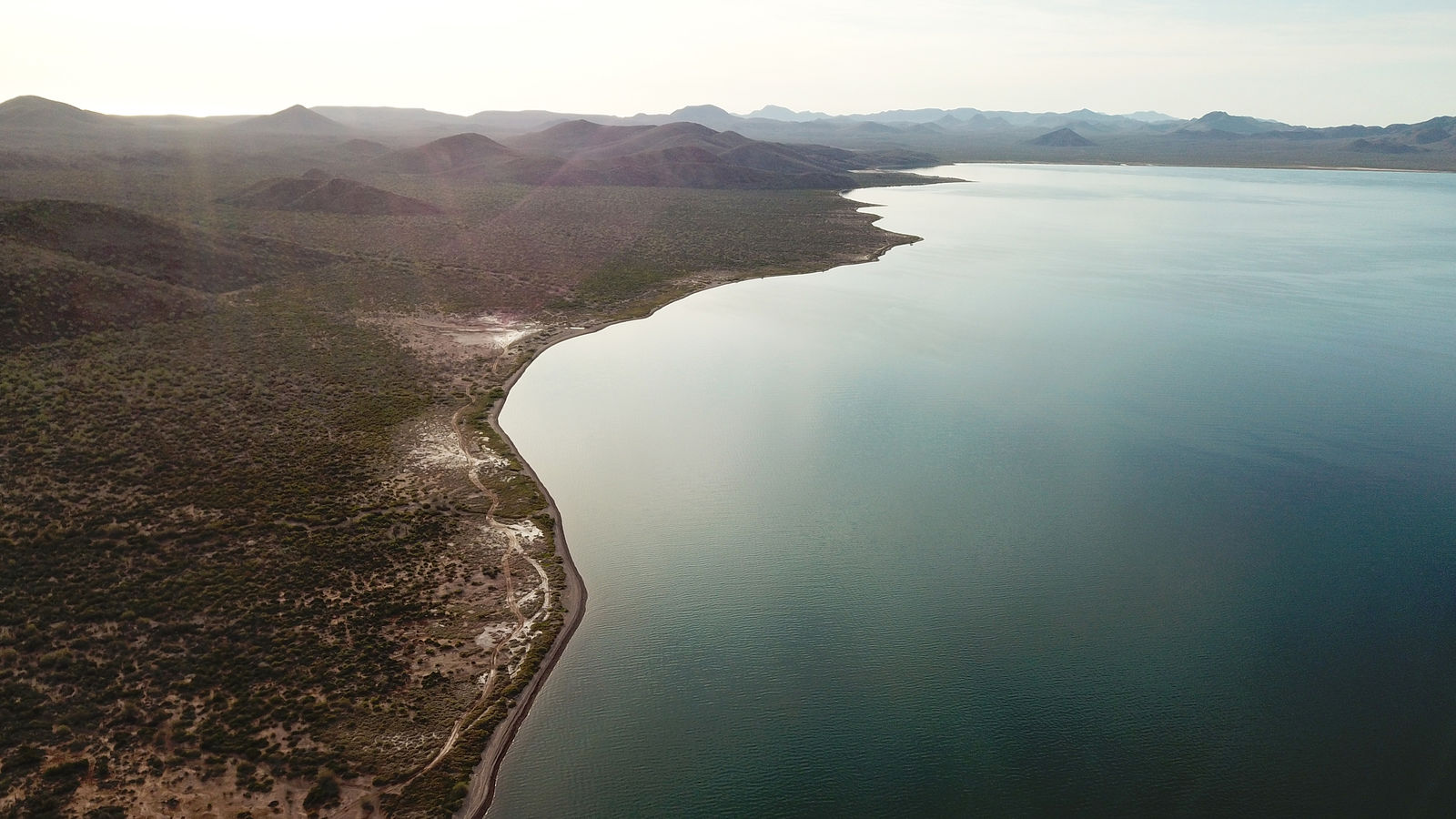
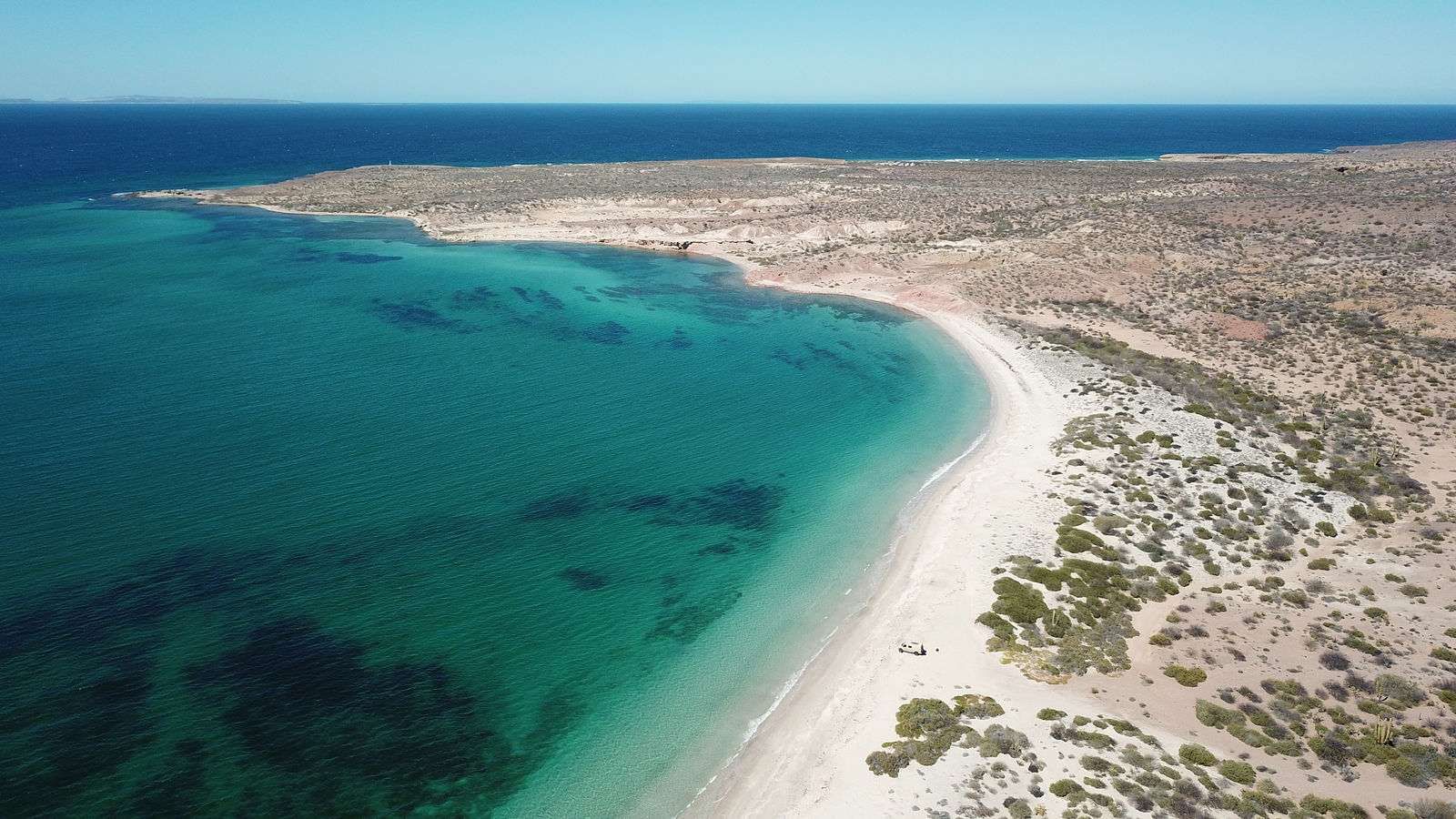
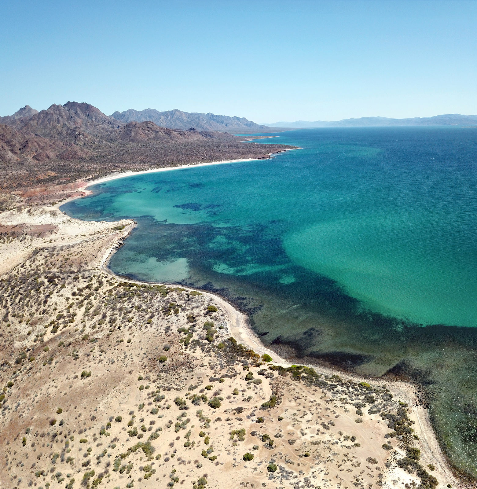
East Side of Bahía Concepción and Sierra los Gavilanes
Next, I made my way south to Bahía Concepción. For a long time I've wanted to explore the peninsula on east side of this bay.
First I passed the fishing camp of Arroyo Luis. The beach here (along with almost all the beaches on this east shore) is pebbly. The water was silty
dark brown. (GPS:26.5887,-111.6769)
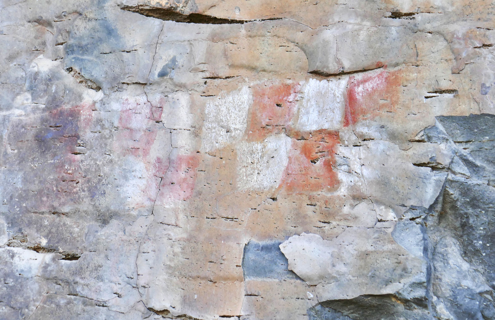
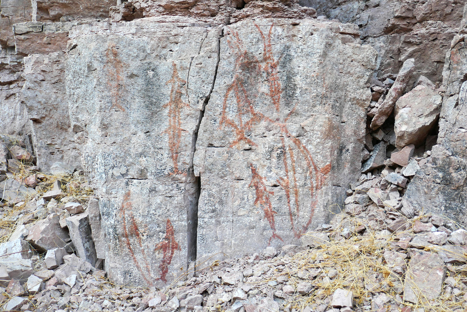
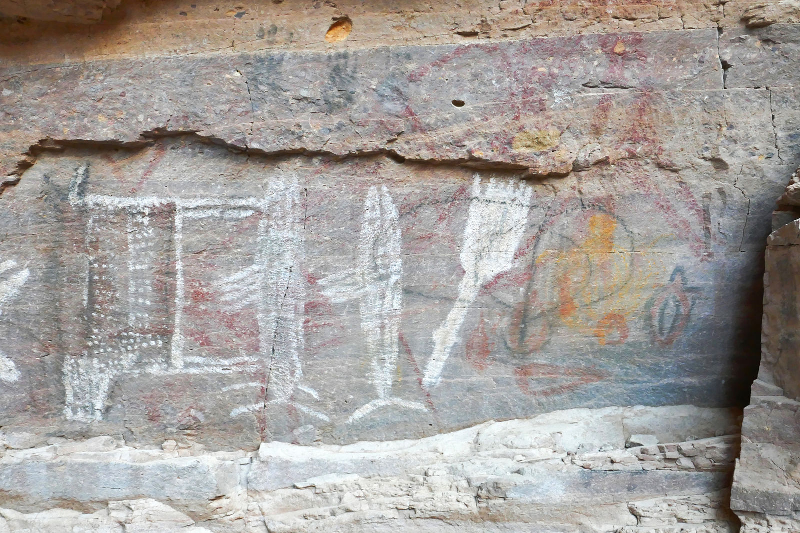
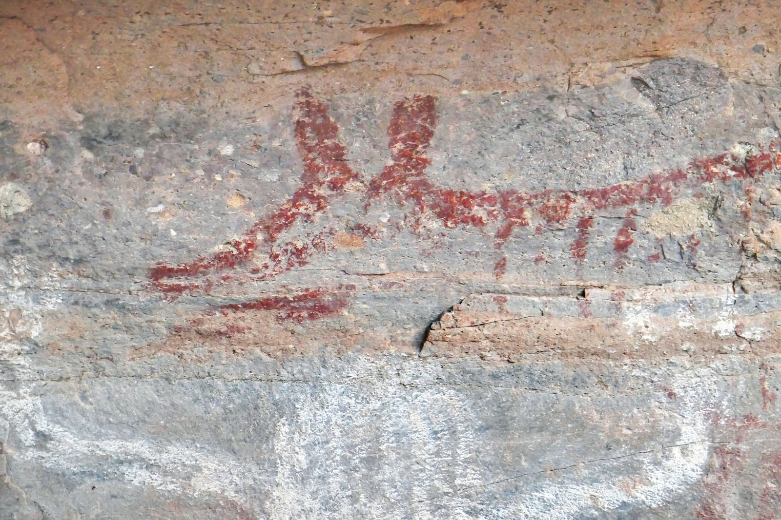
Arroyo los Pintados
I wandered inland to explore Arroyo los Pintados. Sure enough, it is painted! After parking at end of the driveable wash, I hiked a half mile farther
up the canyon and spotted lots of pictographs.
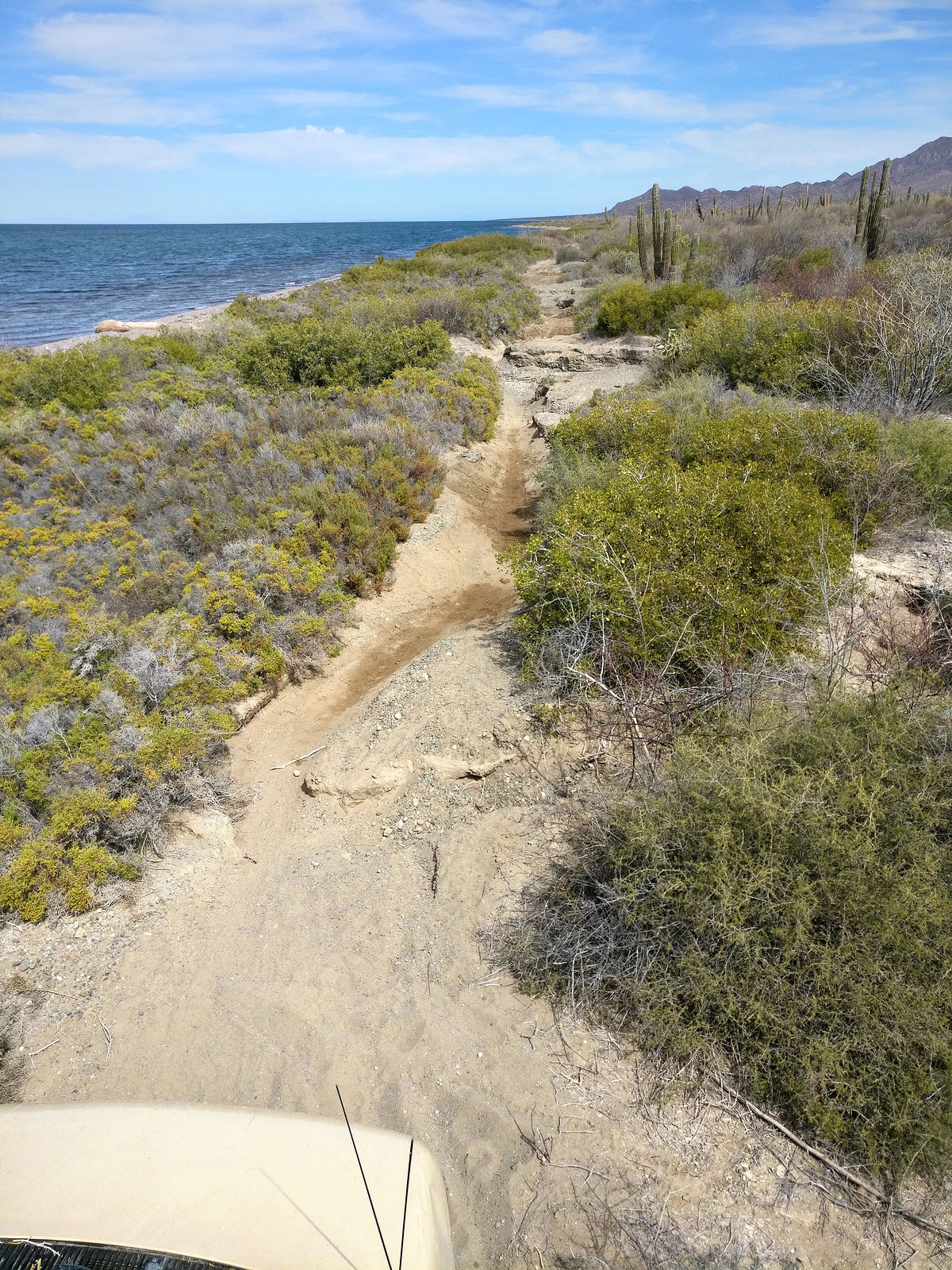
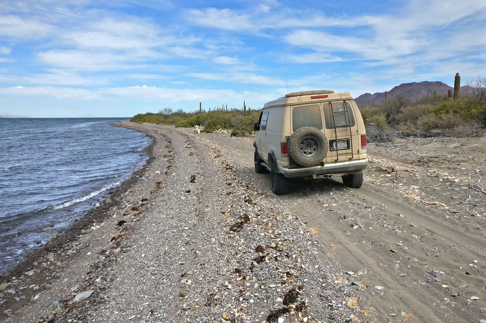
Driving North Up the Coast
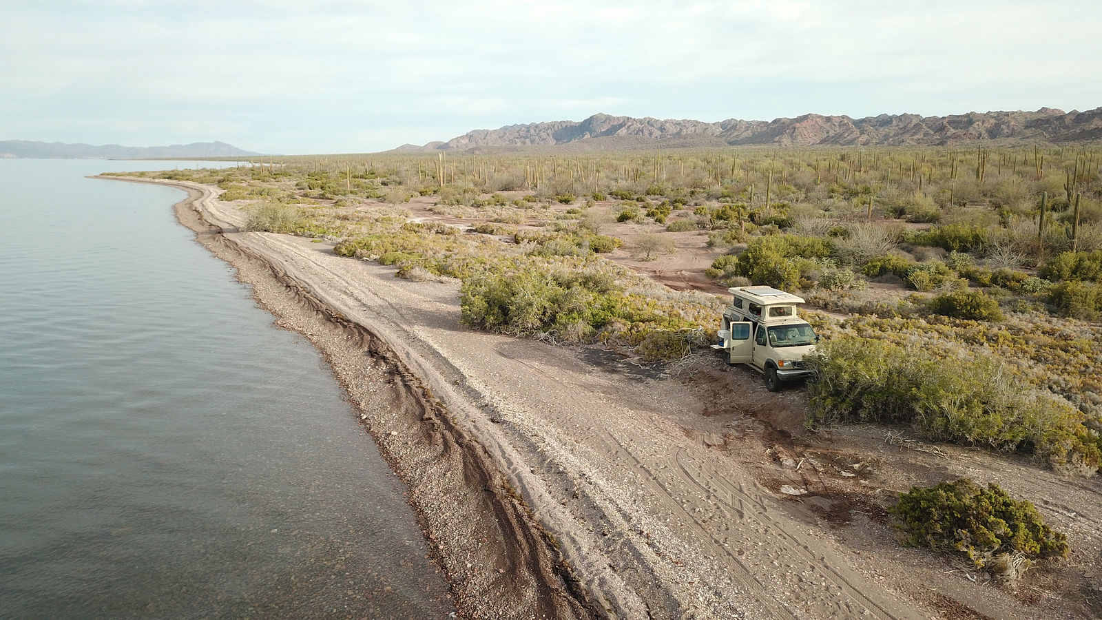
I continued driving up the east side of the bay until sunset, camping on a nice (if unremarkable) section of pebbly beach. (GPS:26.6247,-111.7111)
About 2/3 of the way up the east shore of Bahía Concepción, the road starts getting overgrown, and finally becomes impassably washed out in places.
Here, I followed tire tracks onto the shore where I found that people use the pebbly beach as the detour road. (GPS:26.7978,-111.8246)
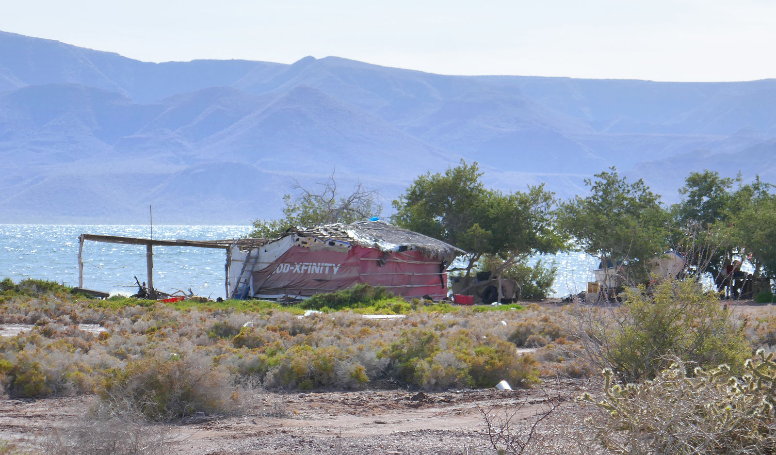
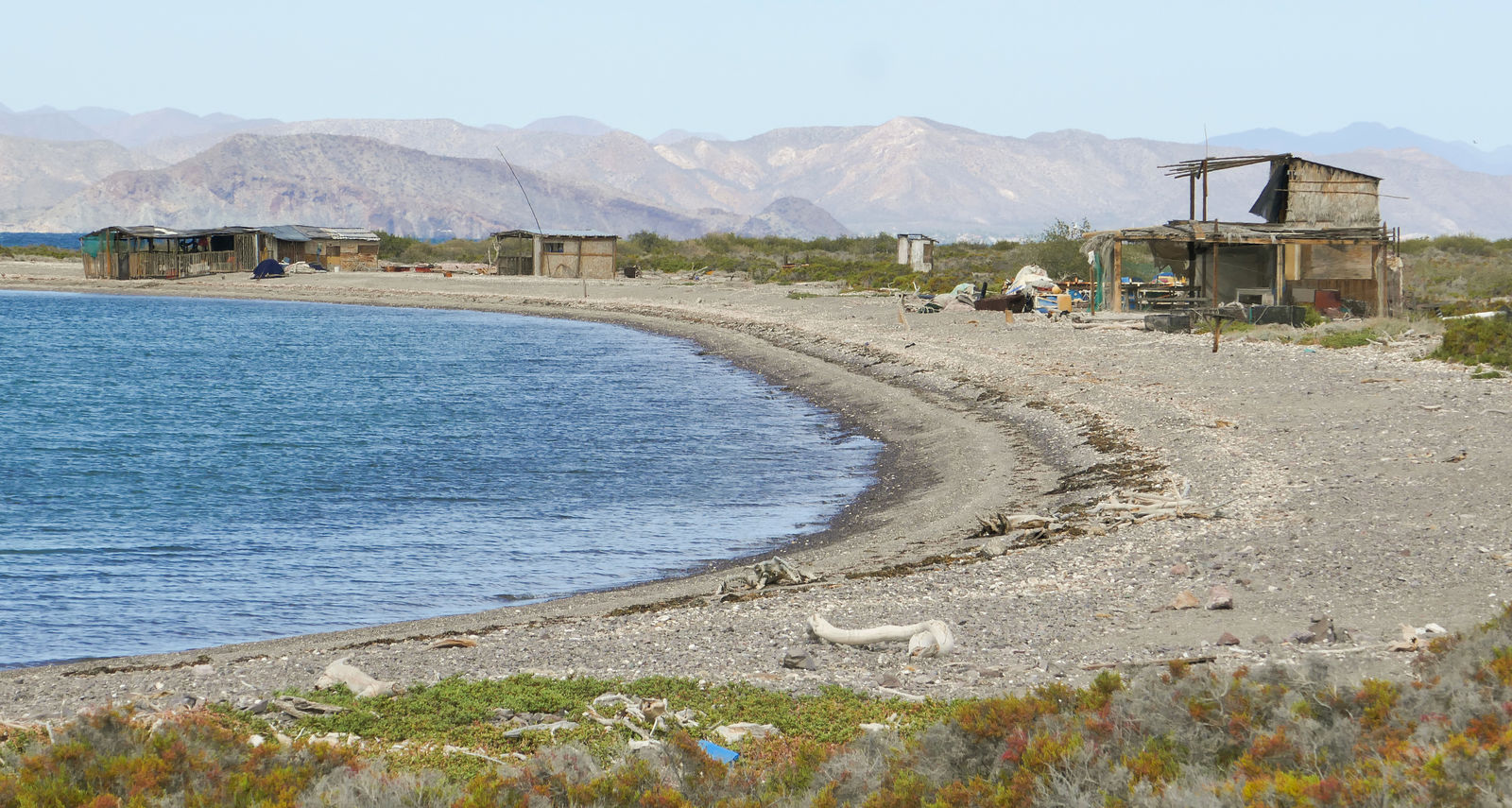
Guadalupe Fish Camp
Punta Santo Domingo Beach
My goal was Punta Santo Domingo. At some point I had scribbled some notes in my Baja Almanac about a nice white sandy beach being out there.
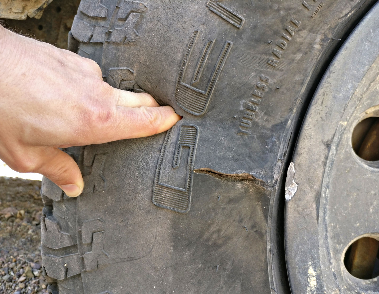
Just before reaching the beach, I managed to destroy my right-front tire with a nasty unpatchable sidewall puncture. It was totally my fault.
Preventable. I was tired and had recklessly started driving a bit too enthusiastically through a rocky wash. During one hard left turn, my right front
tire rolled under, exposing the sidewall to a big sharp rock. Furthermore, I now believe I had my tire pressure set too low. I had aired down to 1/3
highway pressure -- which I find is good for sand and pebble beaches, but this is probably too low to use in rocks. I think I should have been running
my tires closer to 2/3 pressure.
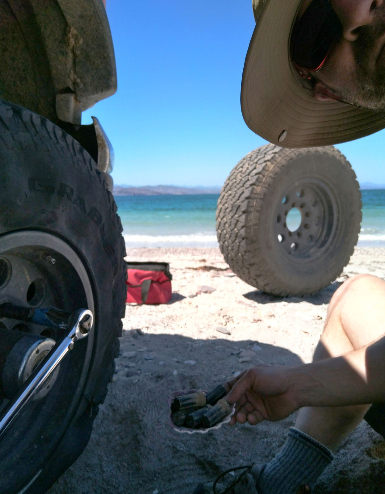
As the ruptured tire was a goner anyway, I decided to just drive rest of the way the beach, rolling along for a quarter mile on my flat tire. It would
be so much nicer to do my tire change on the beach! Yes, it turned out to be worth it - so much more comfortable changing a tire with a cool sea
breeze rather than up in a dusty wash. However, jacking in the sand is a bit tricky, as it tends to sink in.
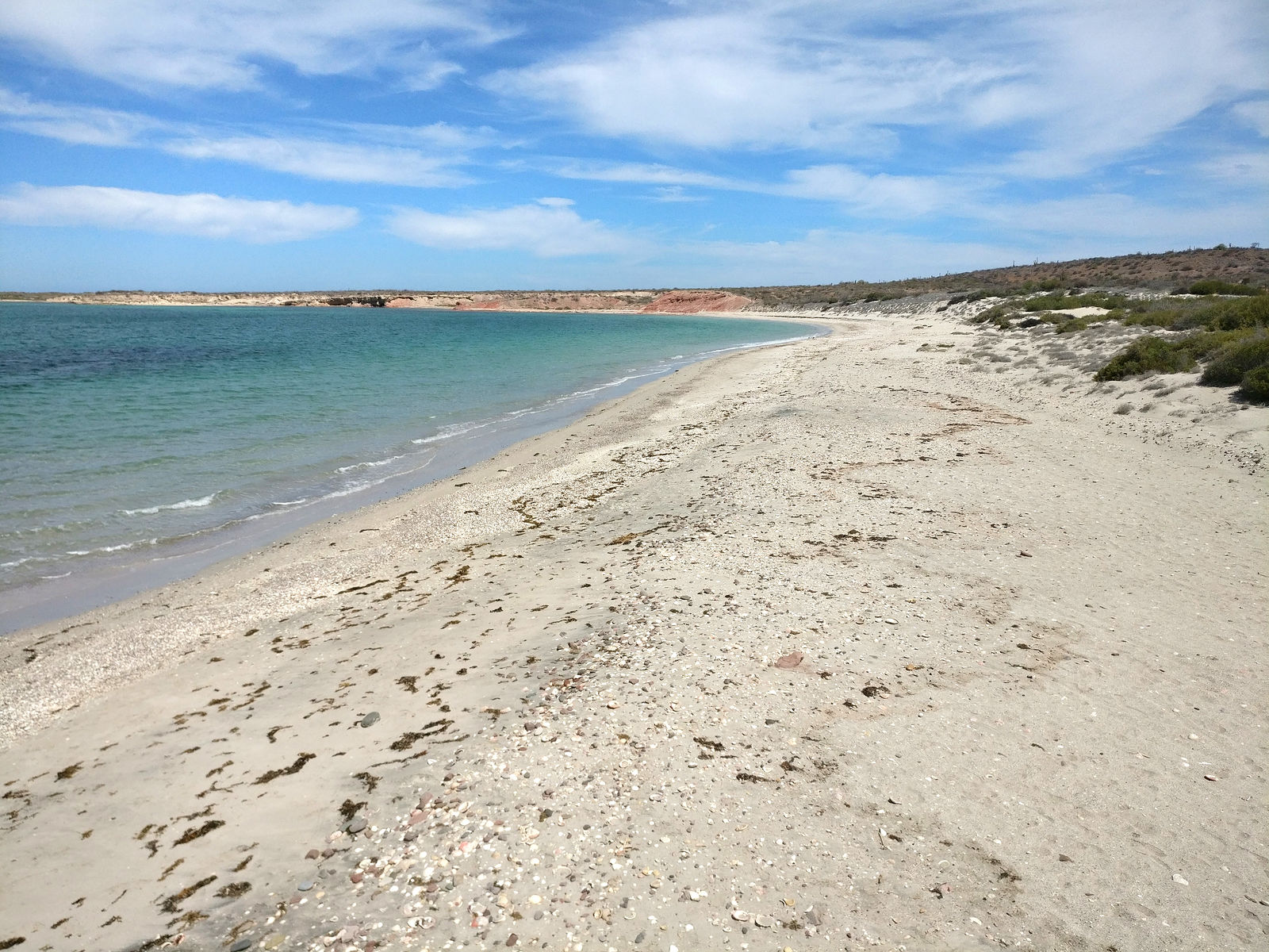
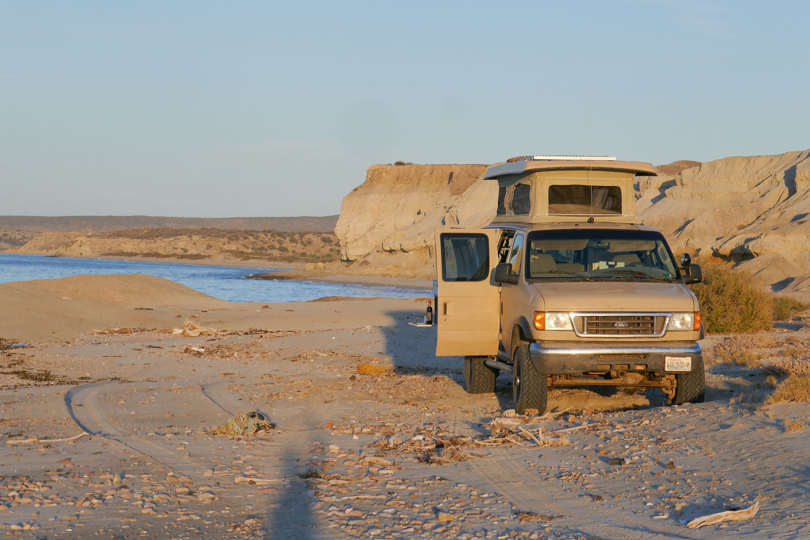
Here's the beach at Punta Santo Domingo. (GPS:26.8646,-111.8441)
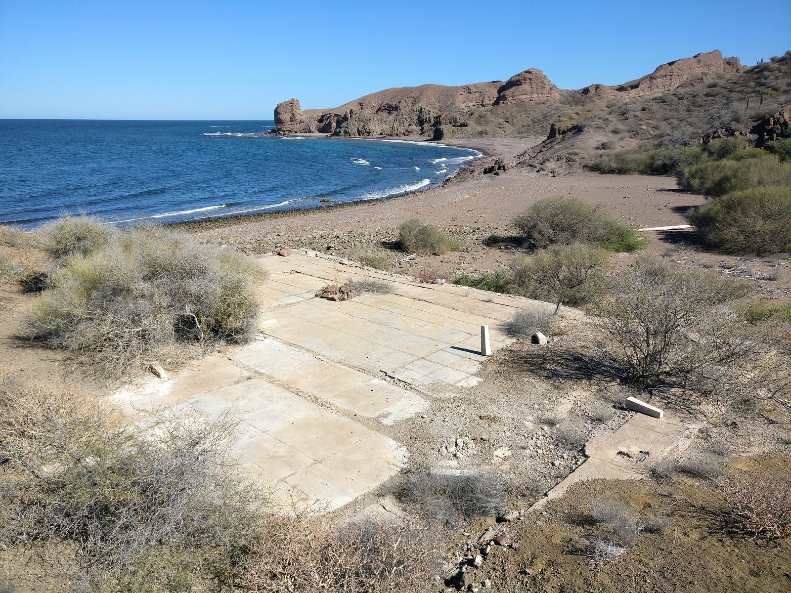
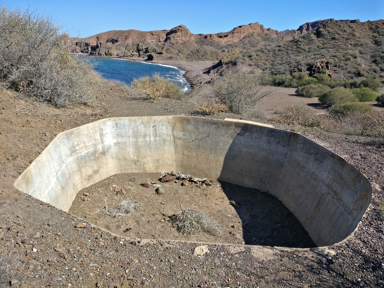
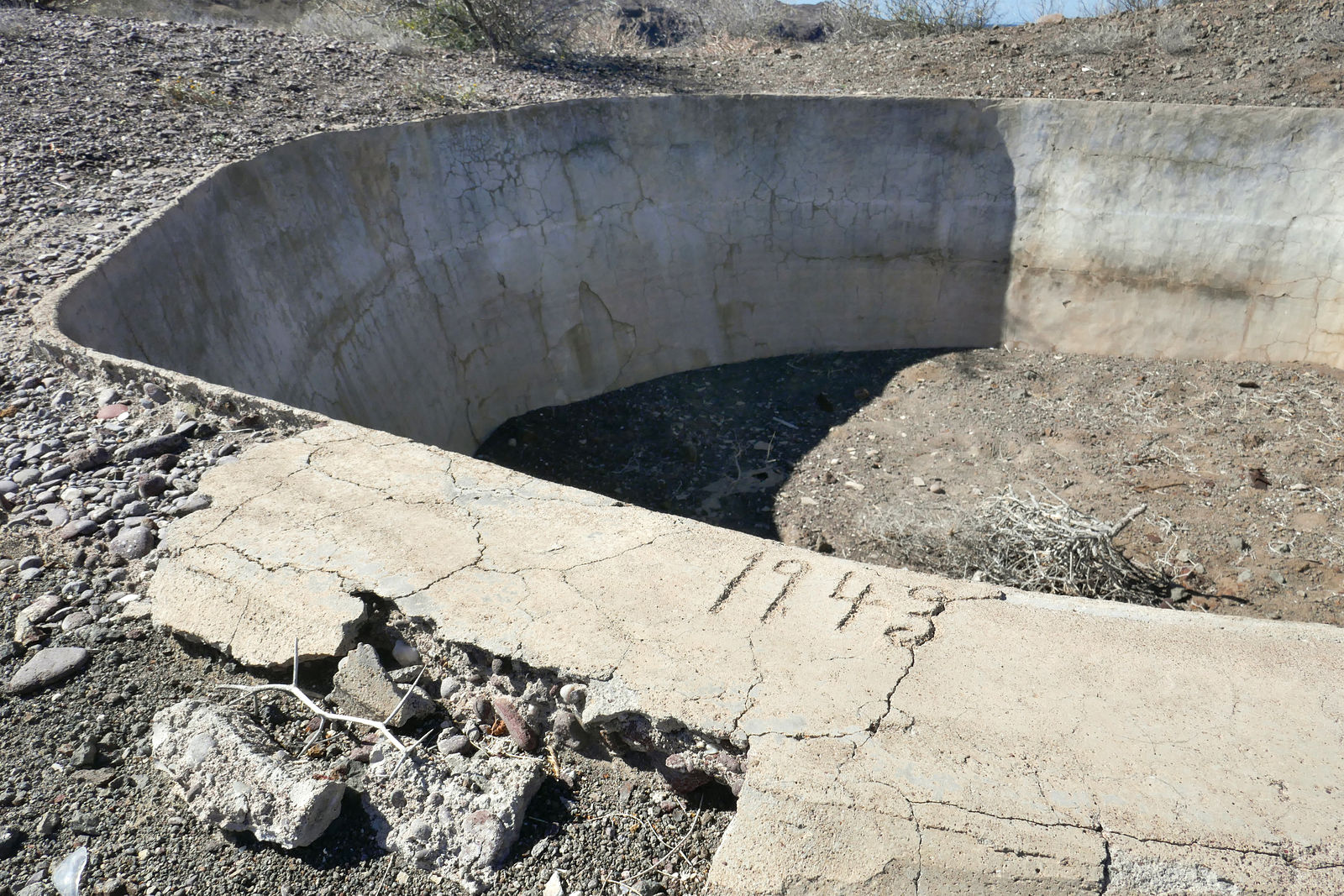
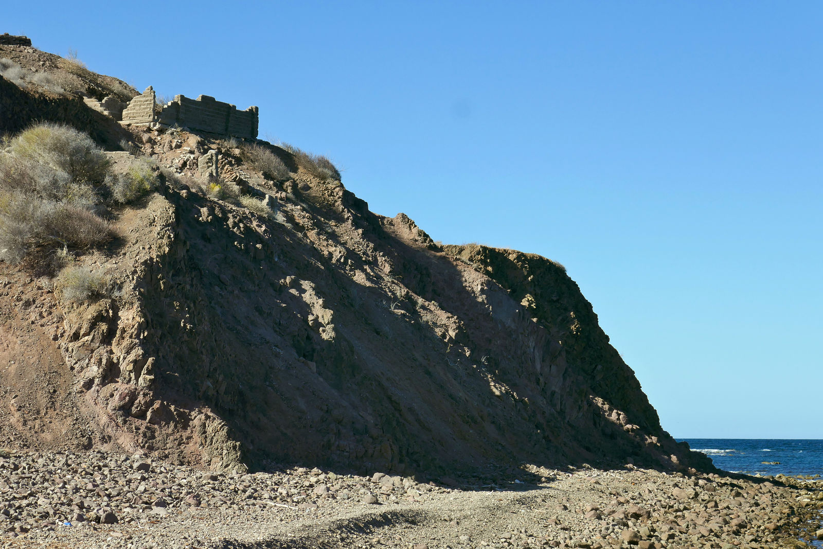
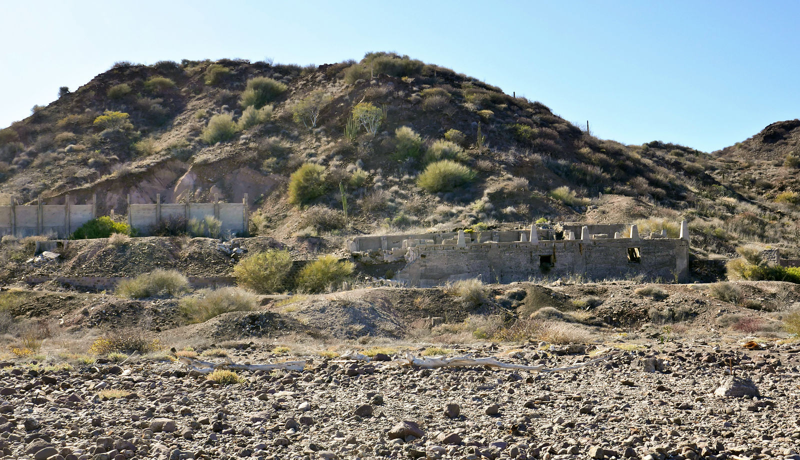
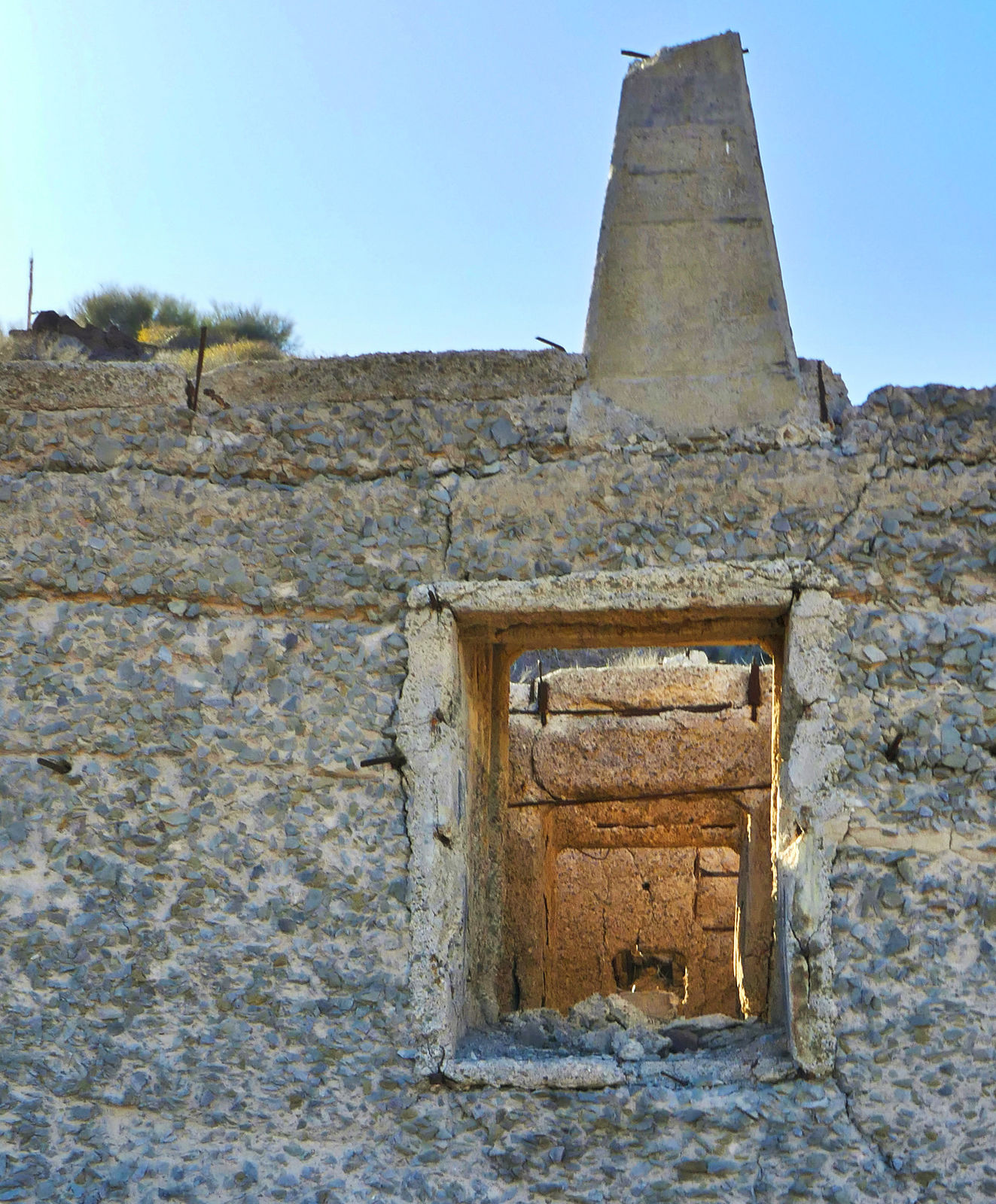
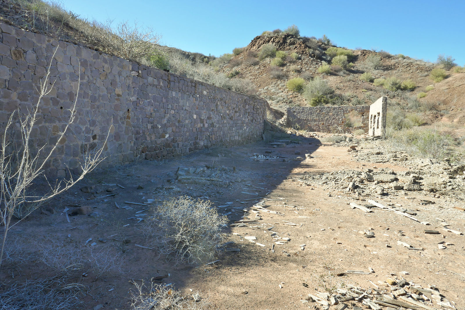
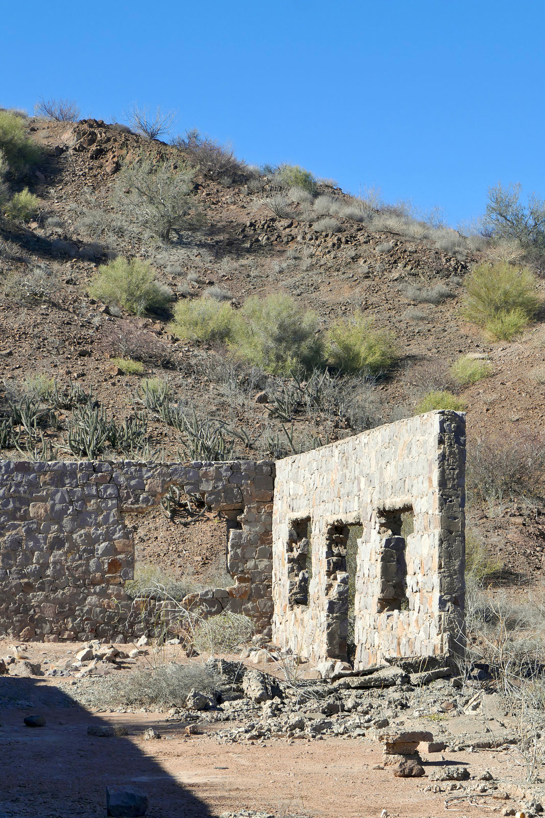
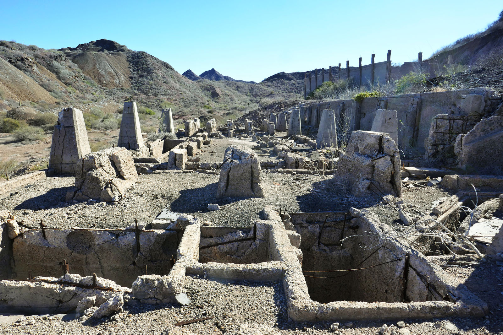
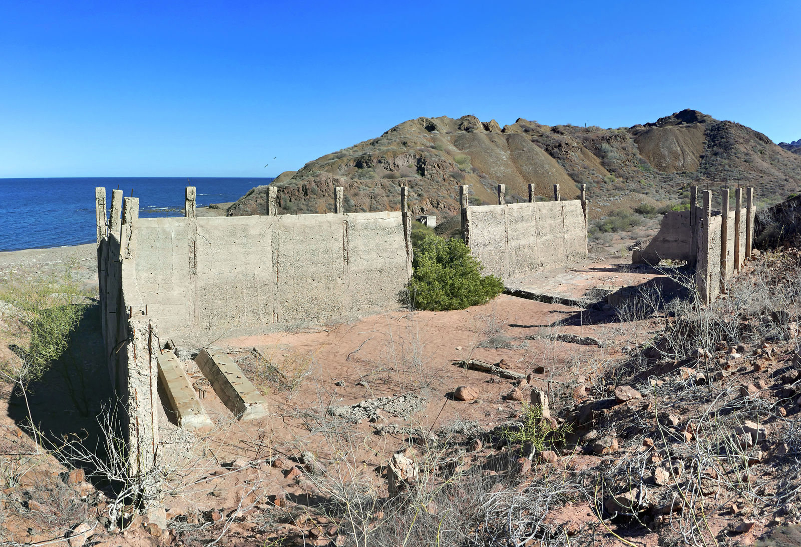
Gavilan Manganese Mine
That afternoon I headed east, crossing the hills in order to check out the abandoned manganese mine. (GPS:26.8761,-111.7929)
The old water tank at the top of the hill says 1943.
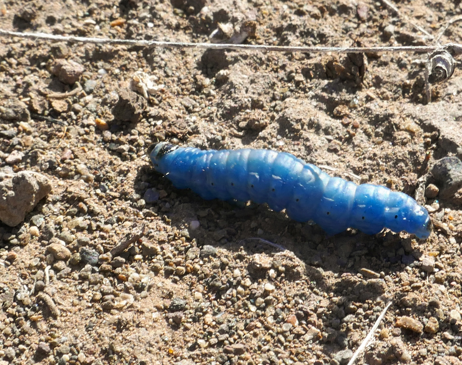
Wriggling around among the desolate gray walls and rock was this bright blue caterpillar! I've never seen anything like it, and I still haven't been
able to identify it. Anyone know what this is?
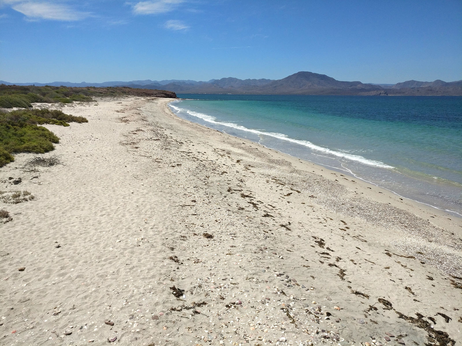
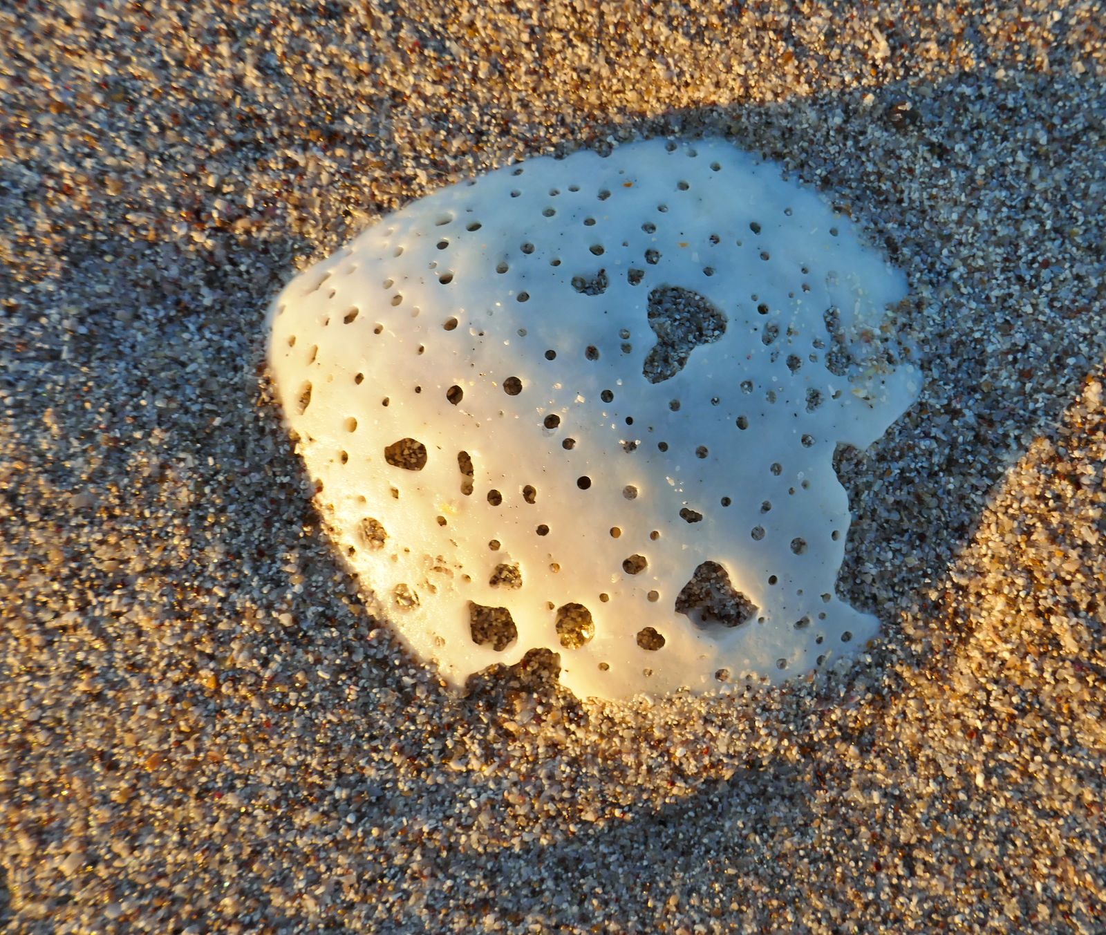
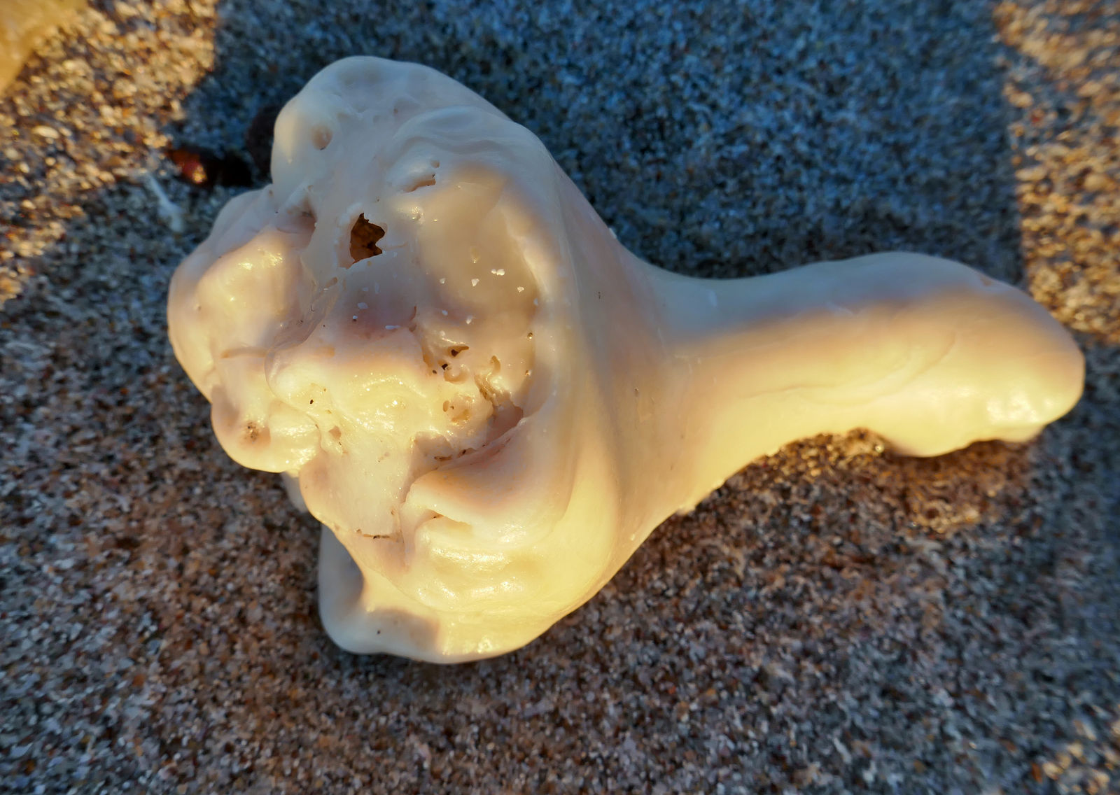
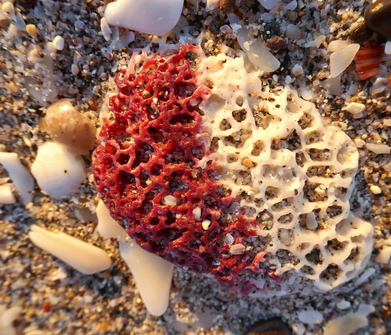
Back at the Punta Santo Domingo beach again, beachcombing...
A lighthouse and the fishing camp of Punta los Hornitos fishing camp are just beyond, to the north. I tried to go all the way to the end of the road,
but I encountered all these rocks placed in the road. I took this as a message saying they didn't want any visitors.
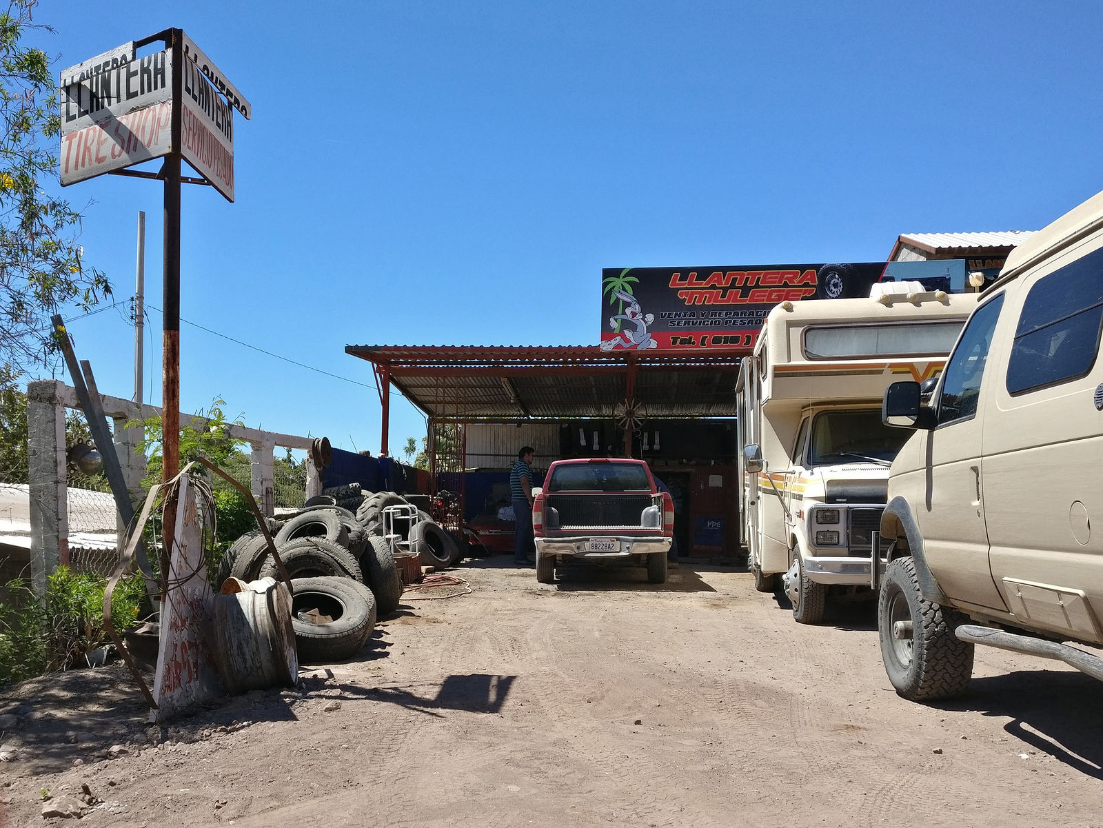
Tire Shopping
If I was to continue my road trip adventure, I needed to buy a new spare tire. DavidK was very helpful relaying suggestions for llanteras in
the area and also pointed me to a Bridgestone tire shop in Santa Rosalía. Unfortunately I didn't end up have much success locating my tire size
(LT305/70R16).
I first visited several llanteras. At each one, the routine was that we would poke around among the old tires lying in the driveway or out
back on junked cars, looking for a size match. Not much luck. At one point, we did find a tire matching my desired size, but it was so trashed there
were only cobblestone-like bumps where the tread should be. I didn't think it was likely to hold up.
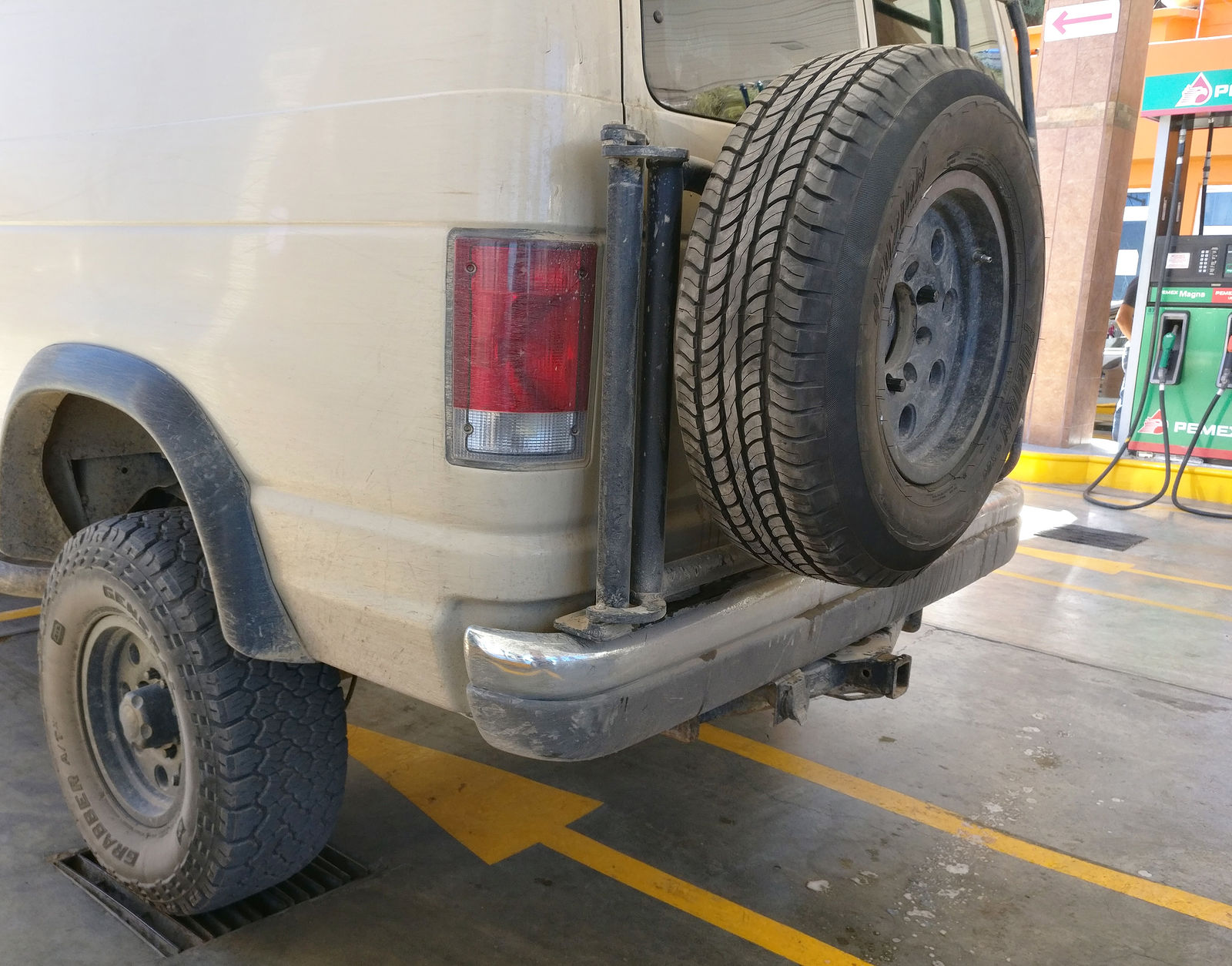
Finally I made my way back up to Santa Rosalía, but the Bridgestone tire shop, "Autopartes Santa Fe", was almost entirely depleted of stock! The
sales guy apologized, explaining something I didn't quite understand about a lack of tires there for the past four years. Finally I decided to just
buy a much smaller street tire that would fit my 16" rims. This tire couldn't be used for long if I was in 4x4, but at least I had a chance of rolling
out any potential trouble if I did destroy another tire.
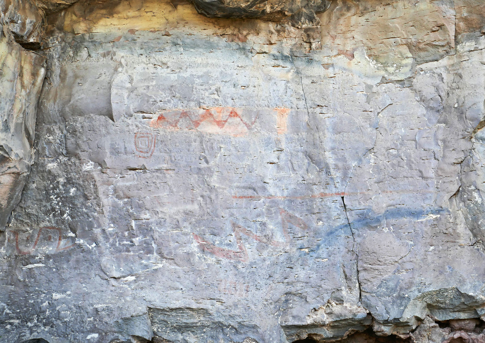
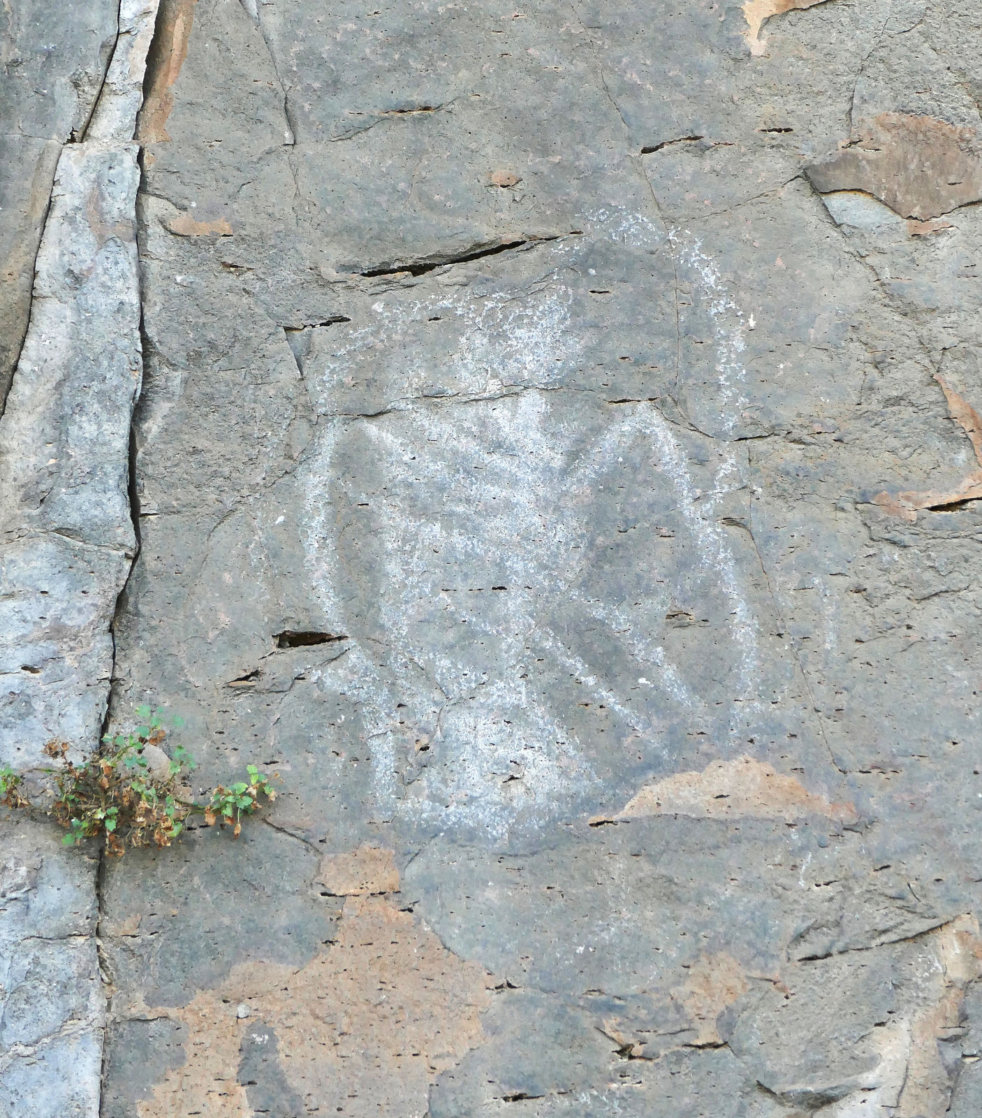
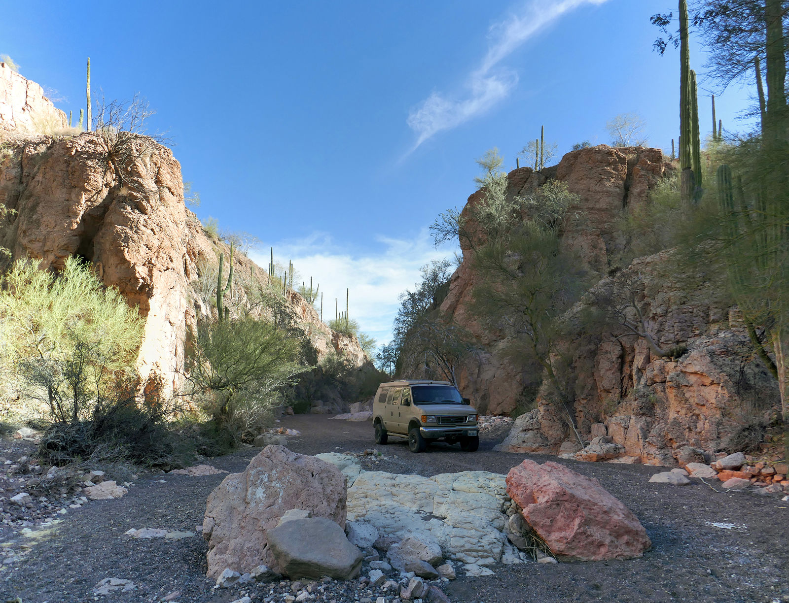
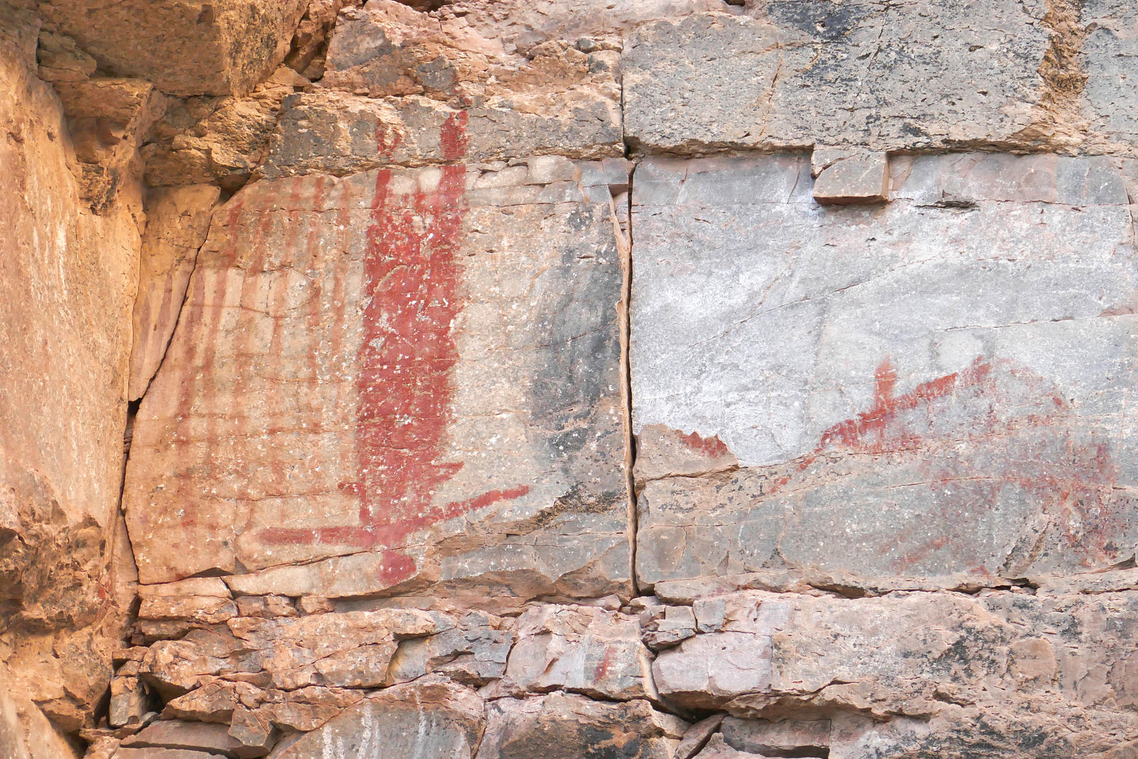
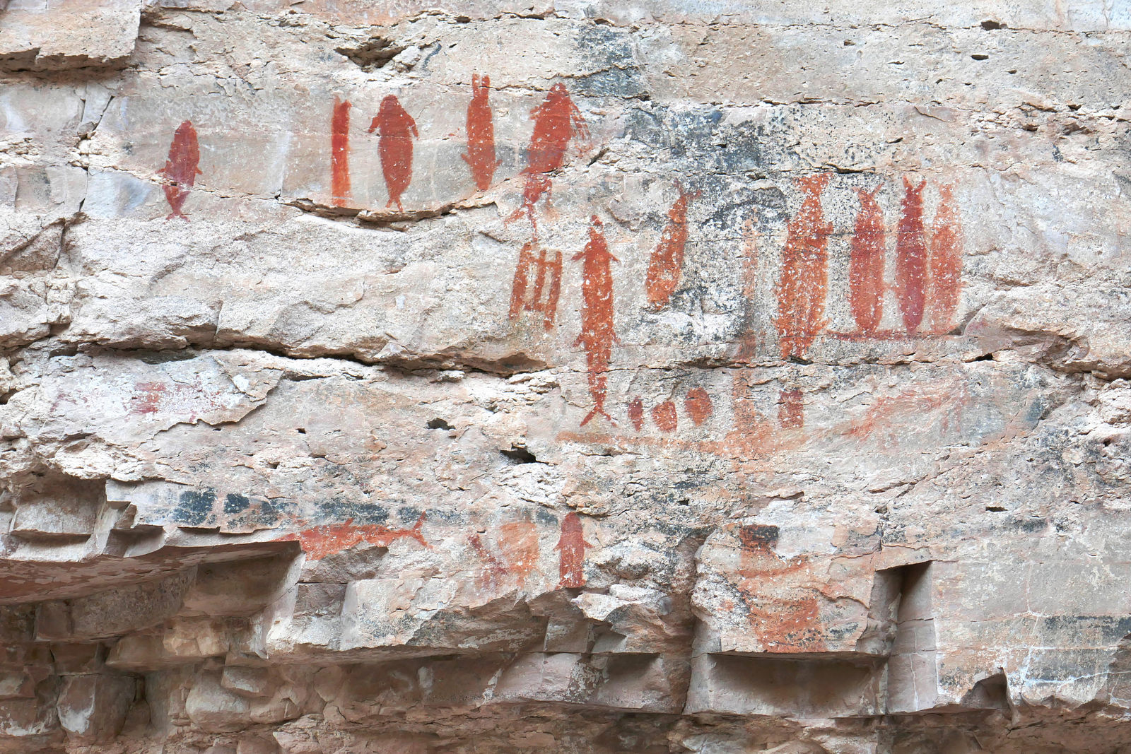
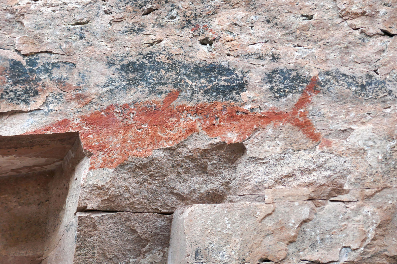
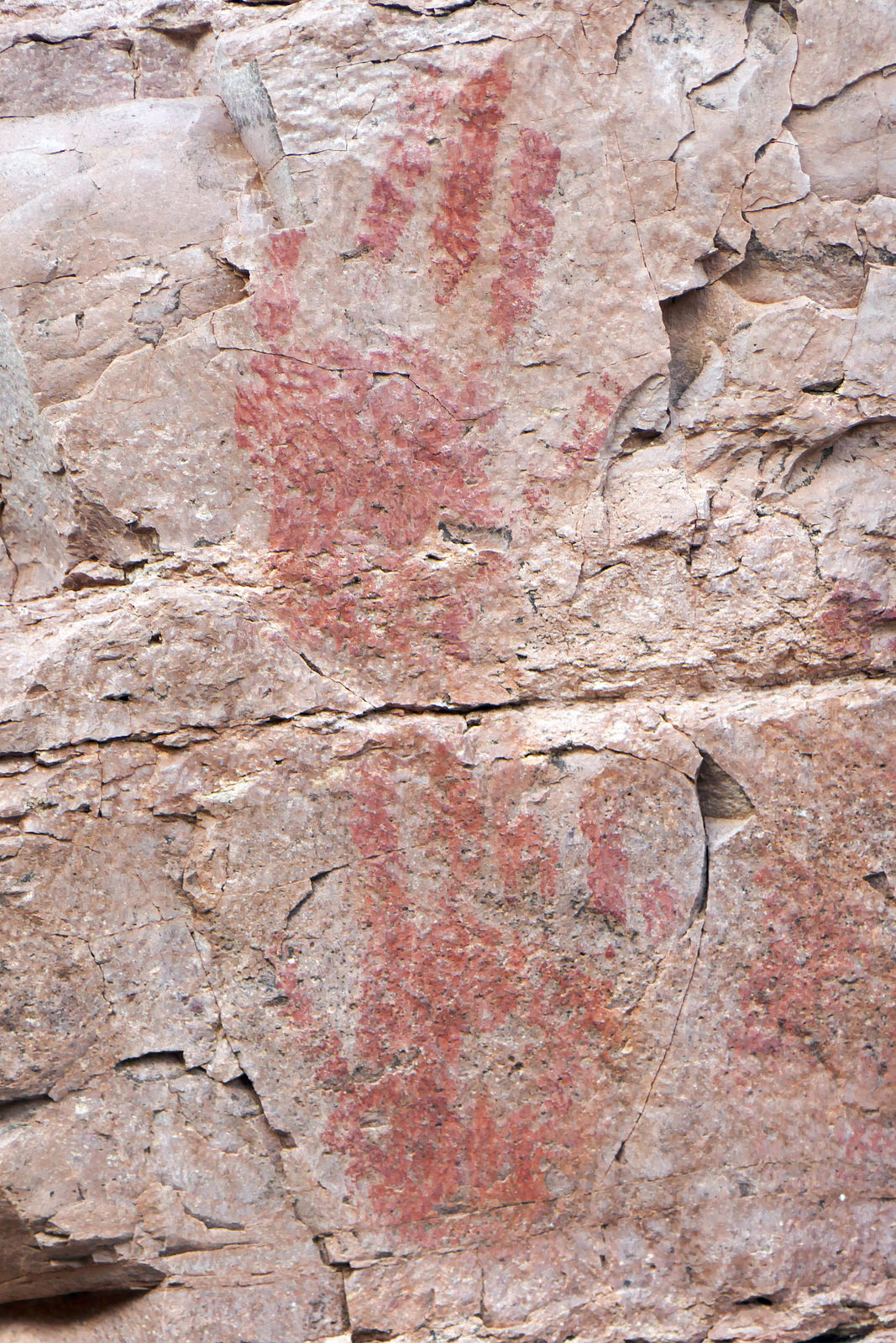
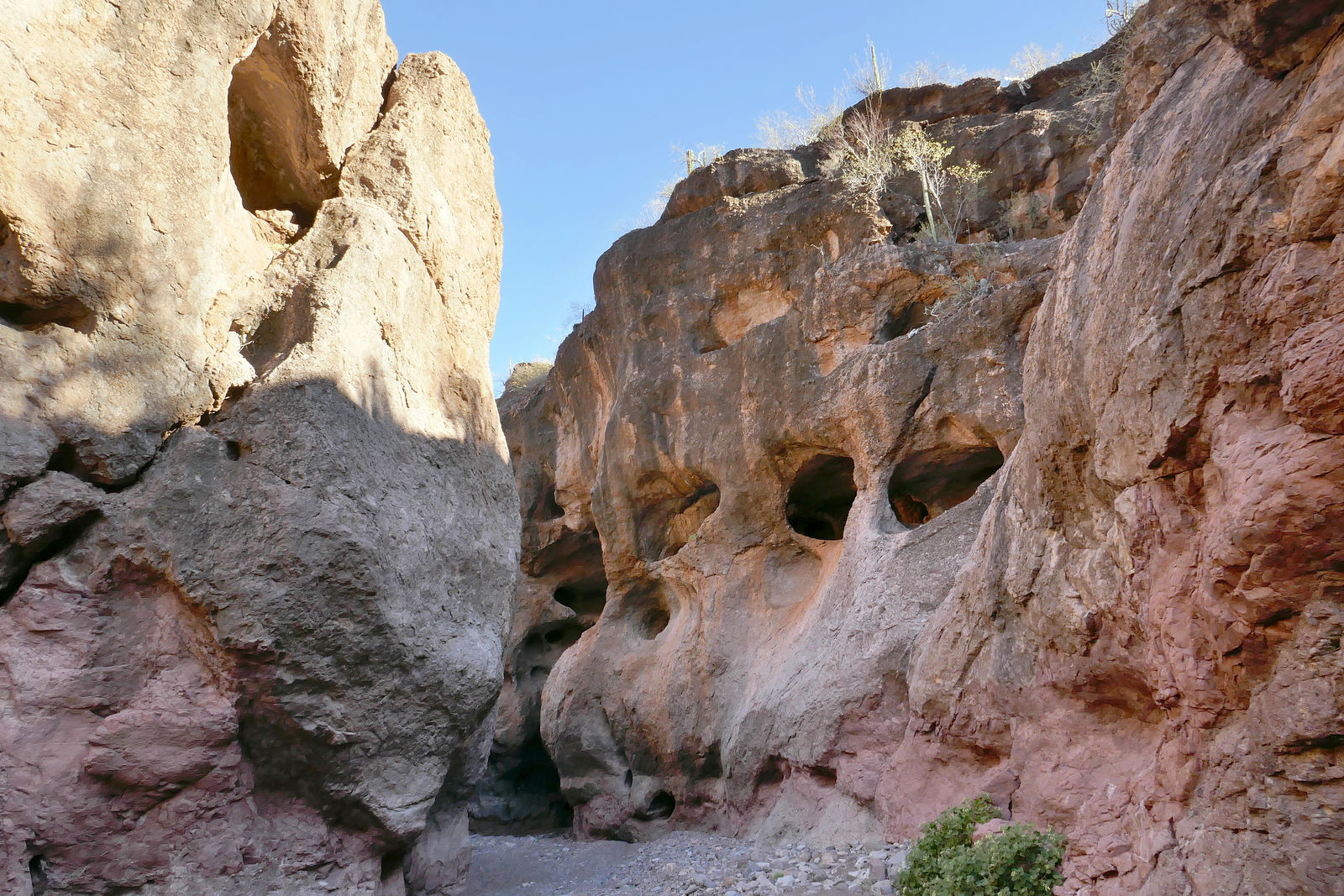
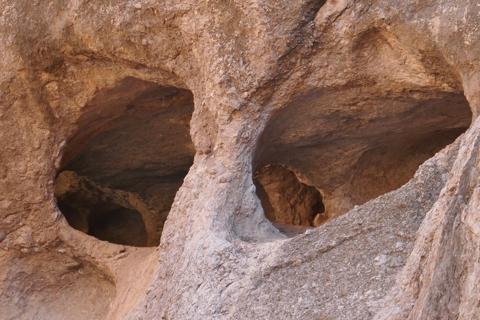
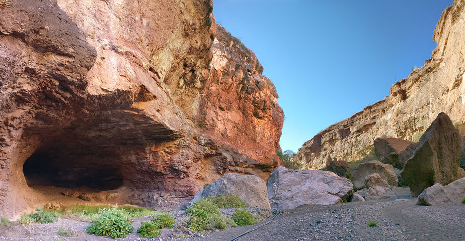
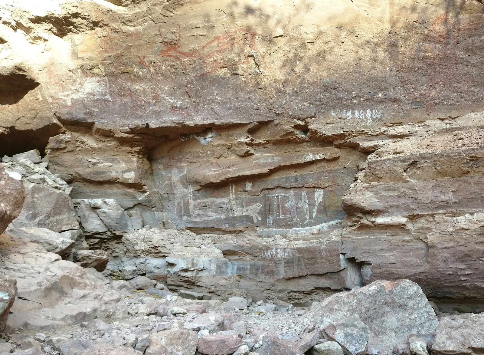
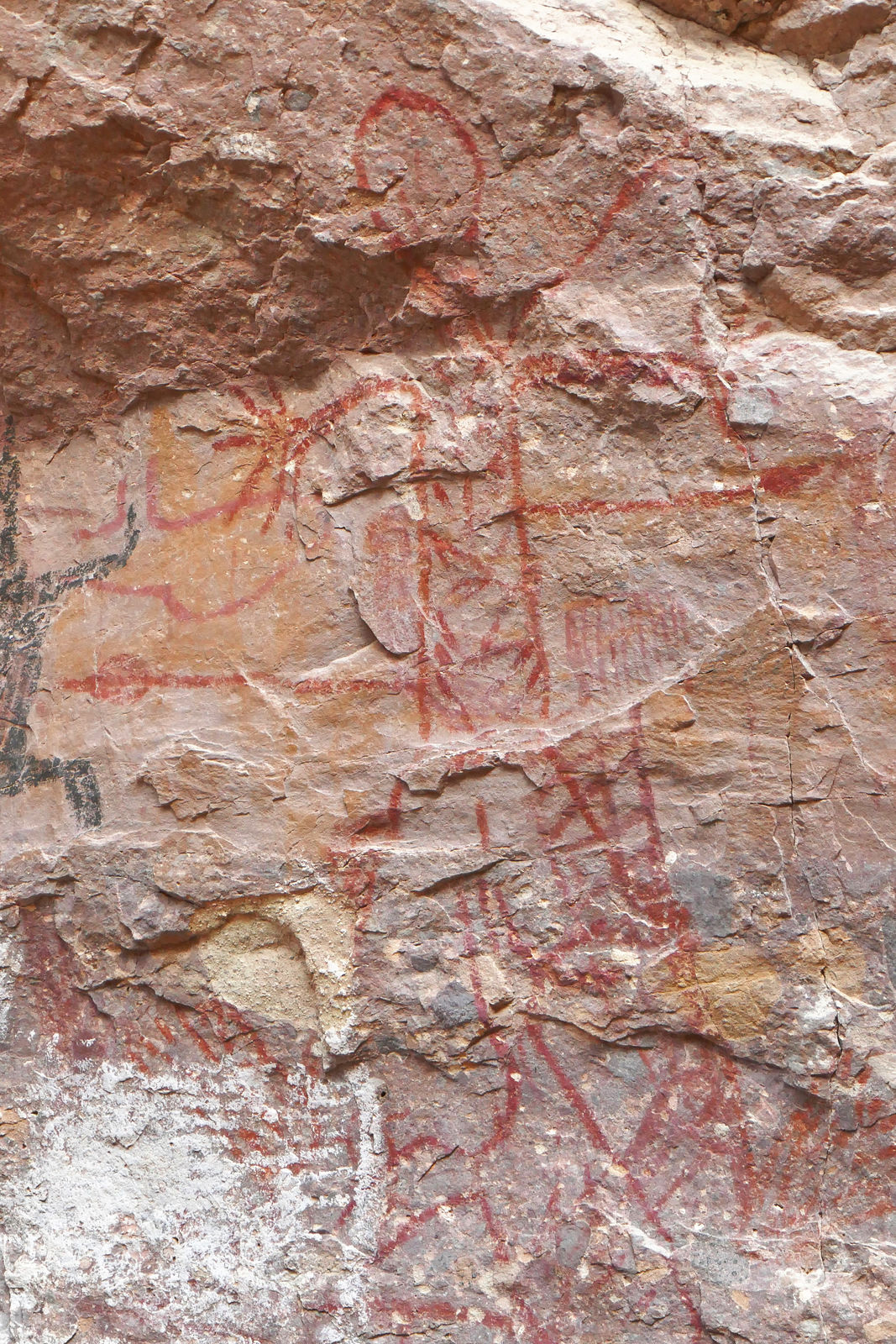
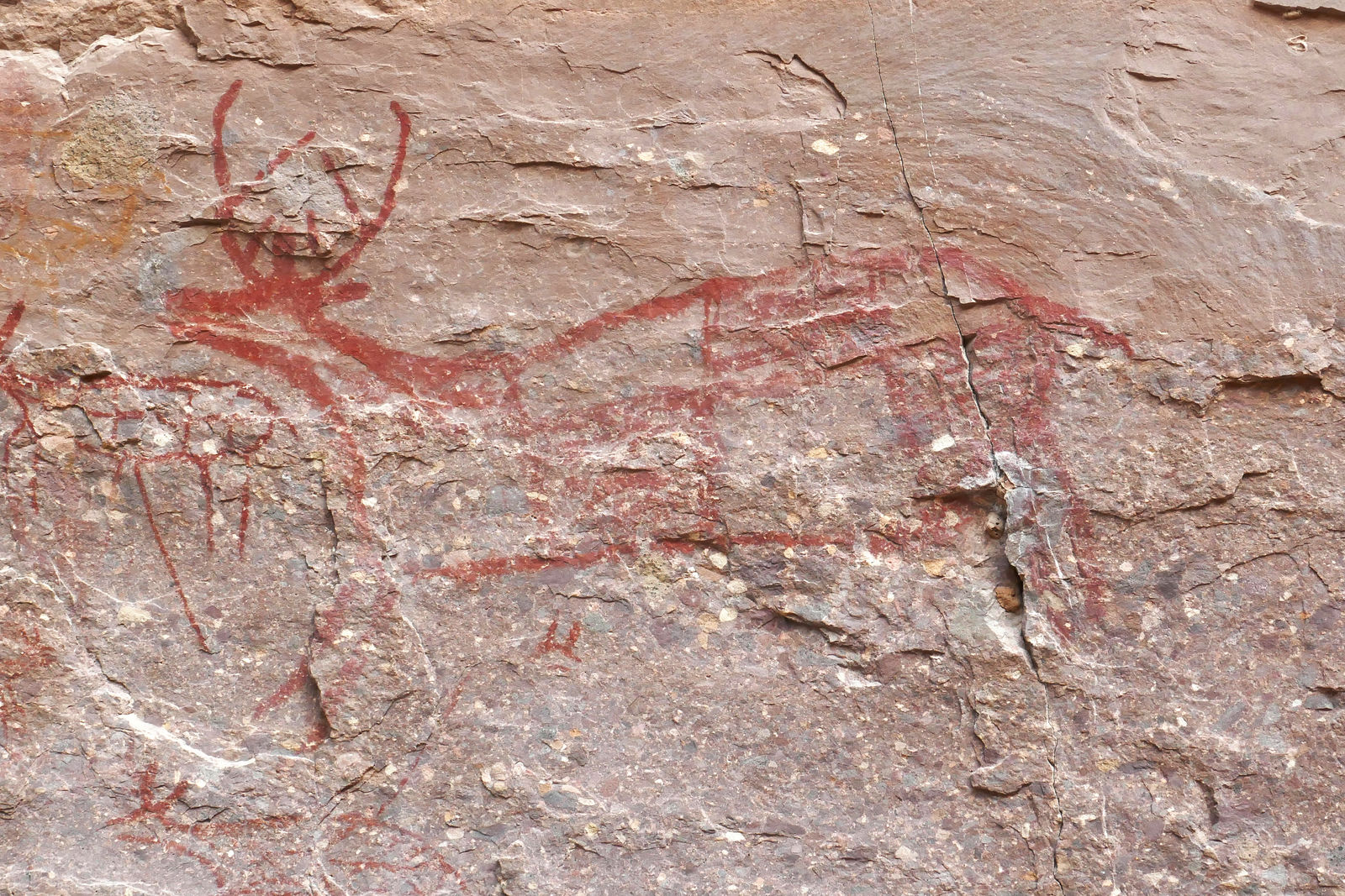
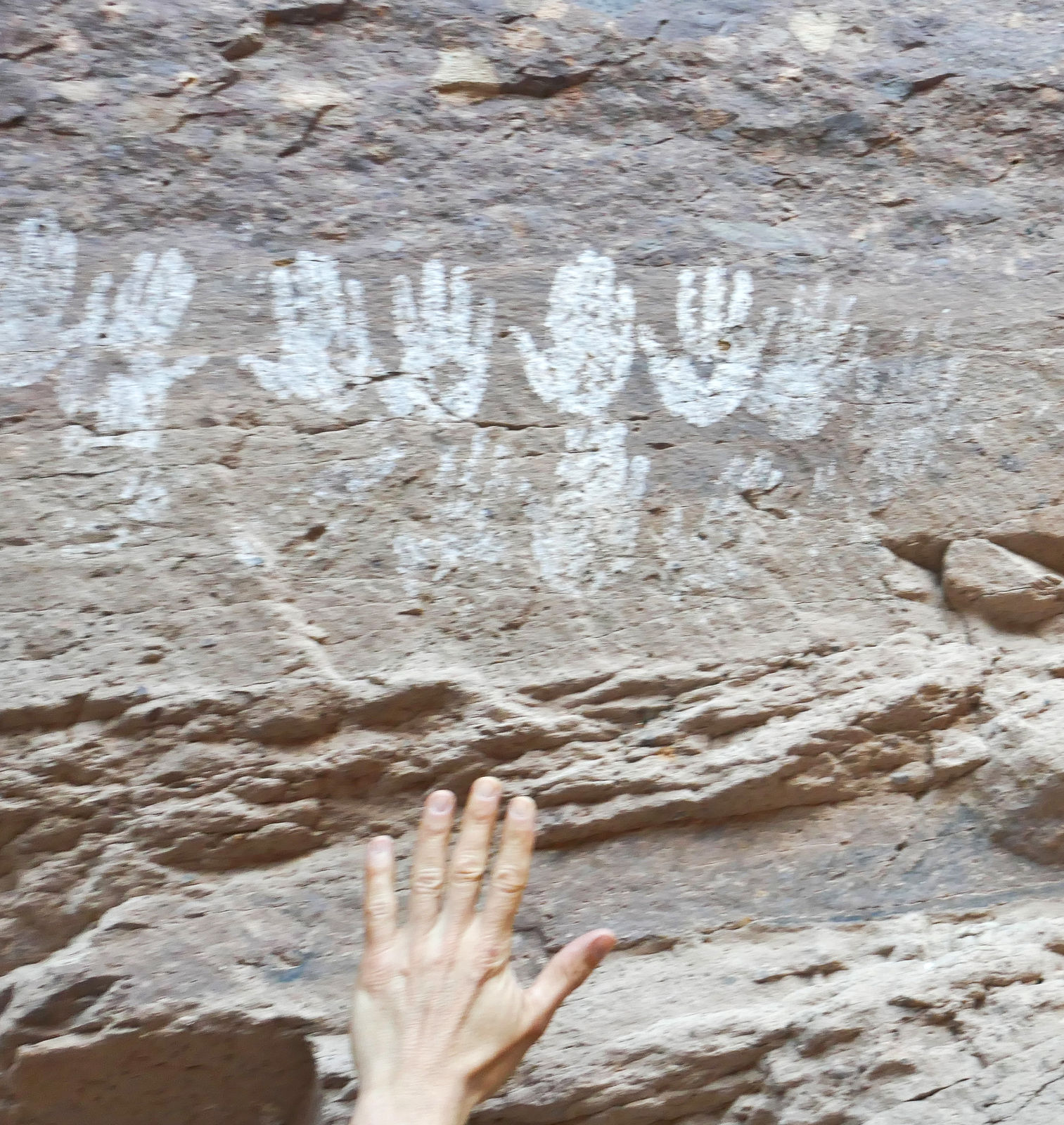
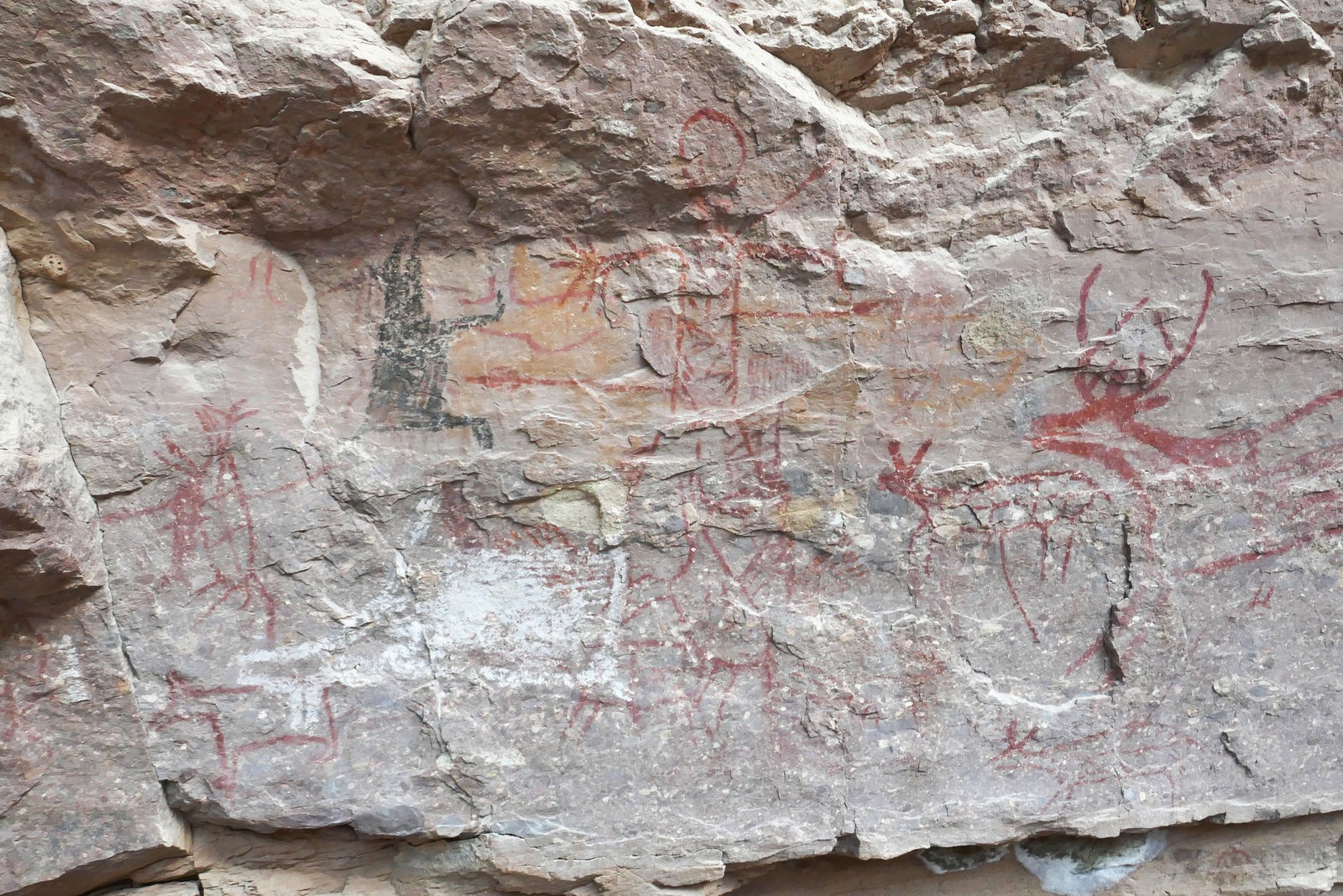
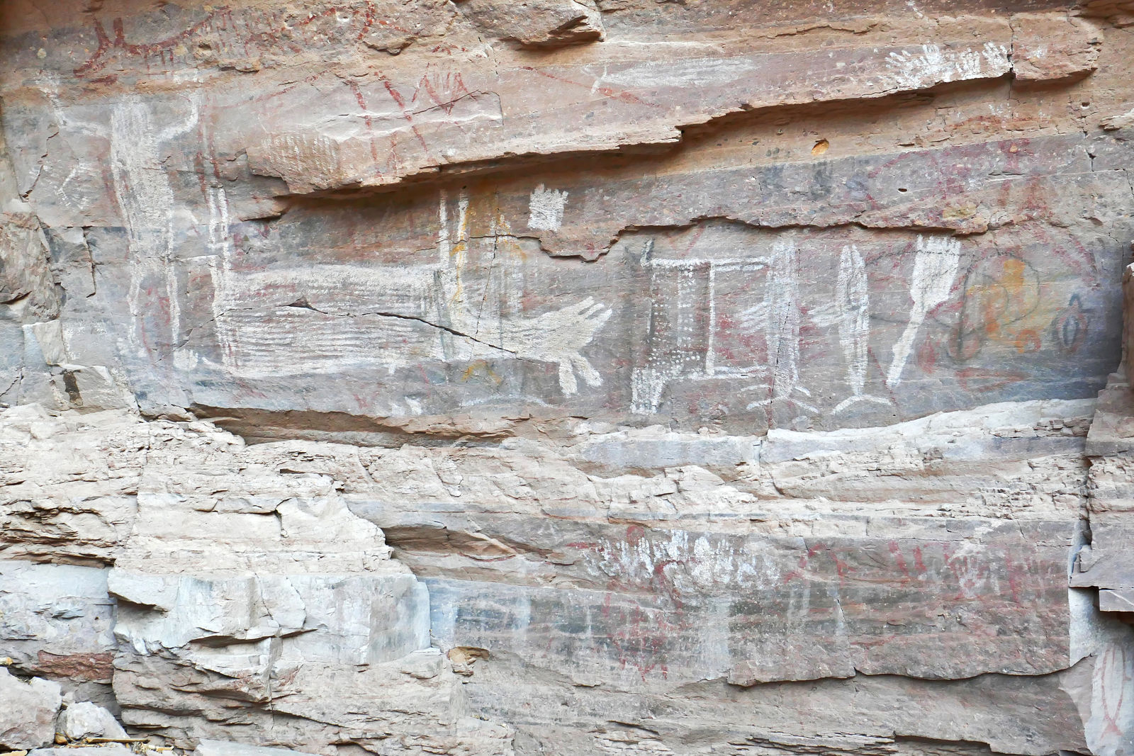
La Trinidad Pictographs
About 15 miles southwest of Mulege, I hiked into a canyon with flowing water and nostril-like caves looking for pictographs. I finally located the
rock panel - there's a lot going on here! Animals, hunting scenes, and several sets of child-sized white handprints.
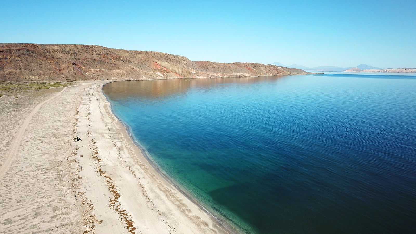
Ensenada el Muerto
Camping on Ensenada el Muerto beach on the north shore of the Punta Chivato. (GPS:27.0954,-111.9859)
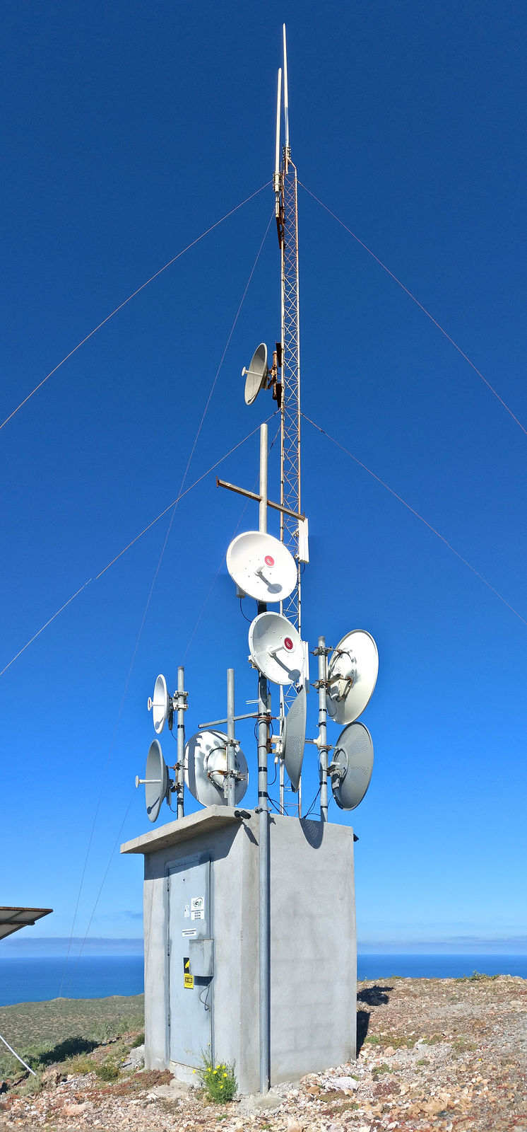
Caguama Microwave Towers
I had tried in the past to drive up to these communication towers, but there had been a locked gate. But this time the gate was open! Then at the top,
I found that the tower site has been abandoned and the equipment looted.
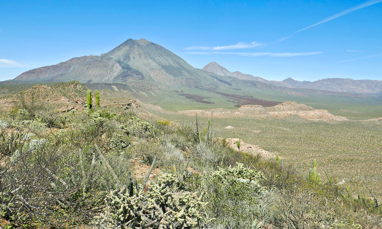
In any case, it's a great spot to view the Las Tres Virgenes volcanos. (GPS:27.4053,-112.5482)
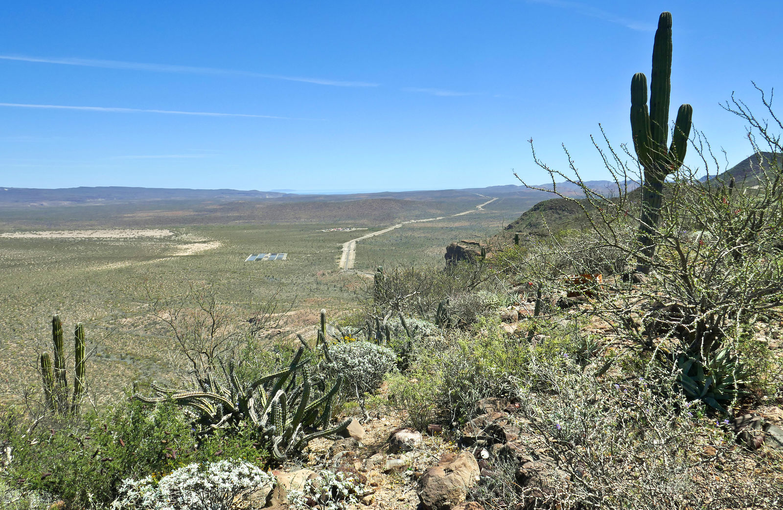
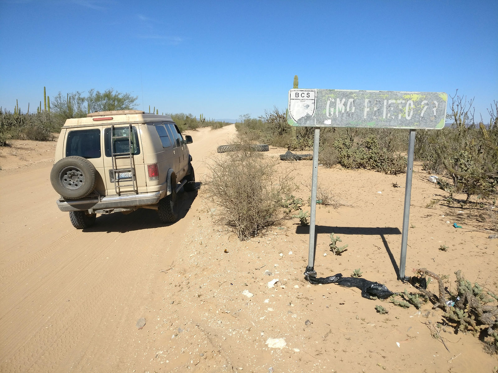
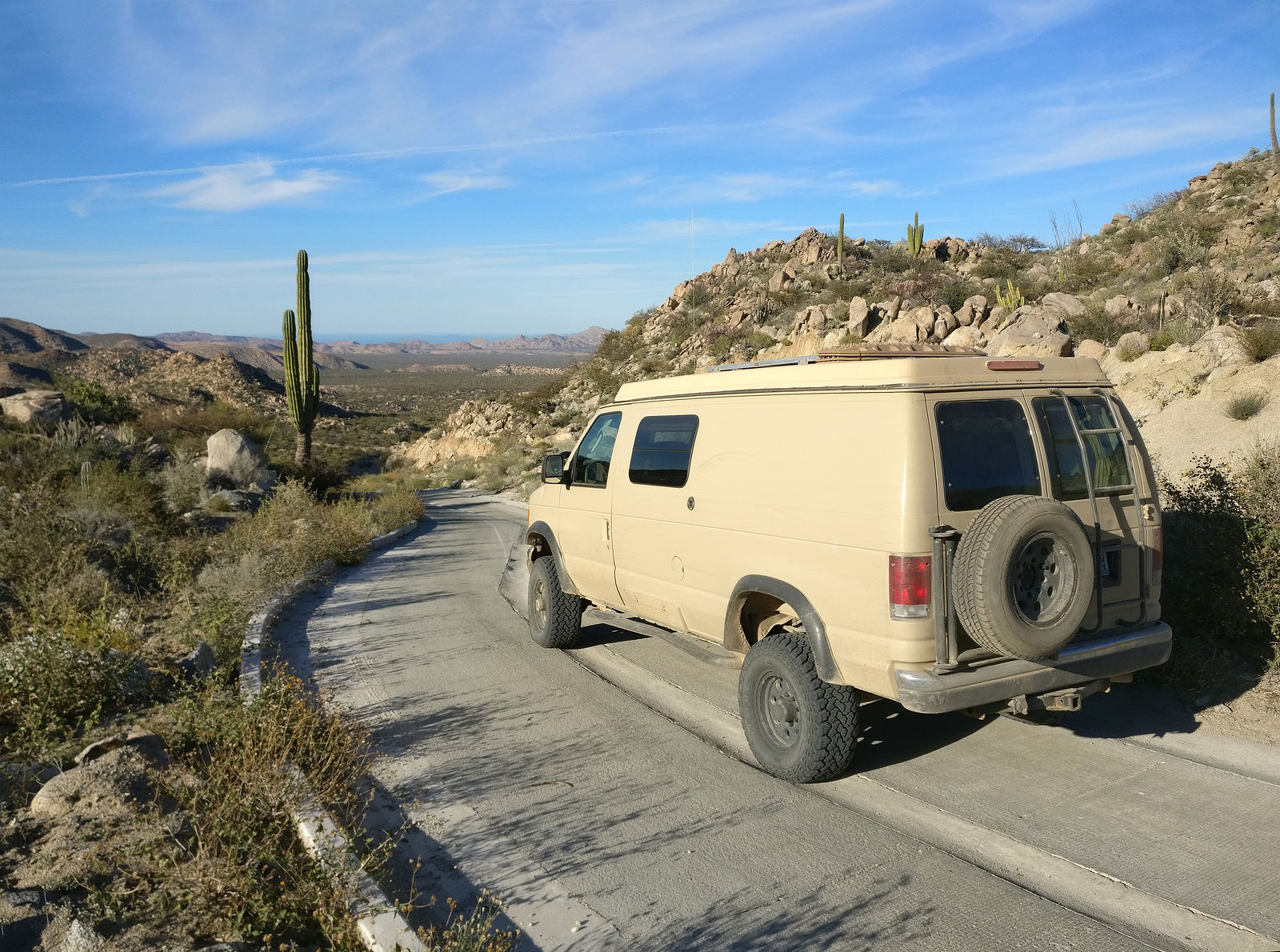
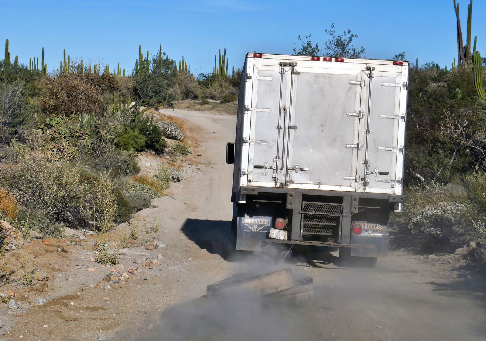
___________________________________________________ El Arco to BoLA Loop
My final adventure was to revisit the El Arco to Bahía de los Angeles loop. The El Arco road was in great shape this time - recently graded, and the
steep pass at La Cuesta de la Ley has been paved. I ended up following this beer truck for a while, which was dragging a couple tires behind it for
some reason. I'm not sure what was up with that.
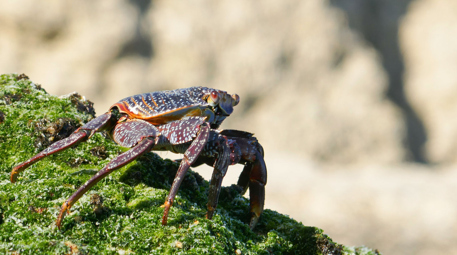
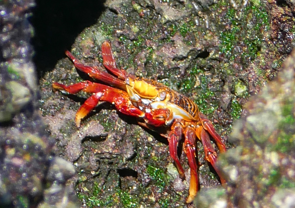
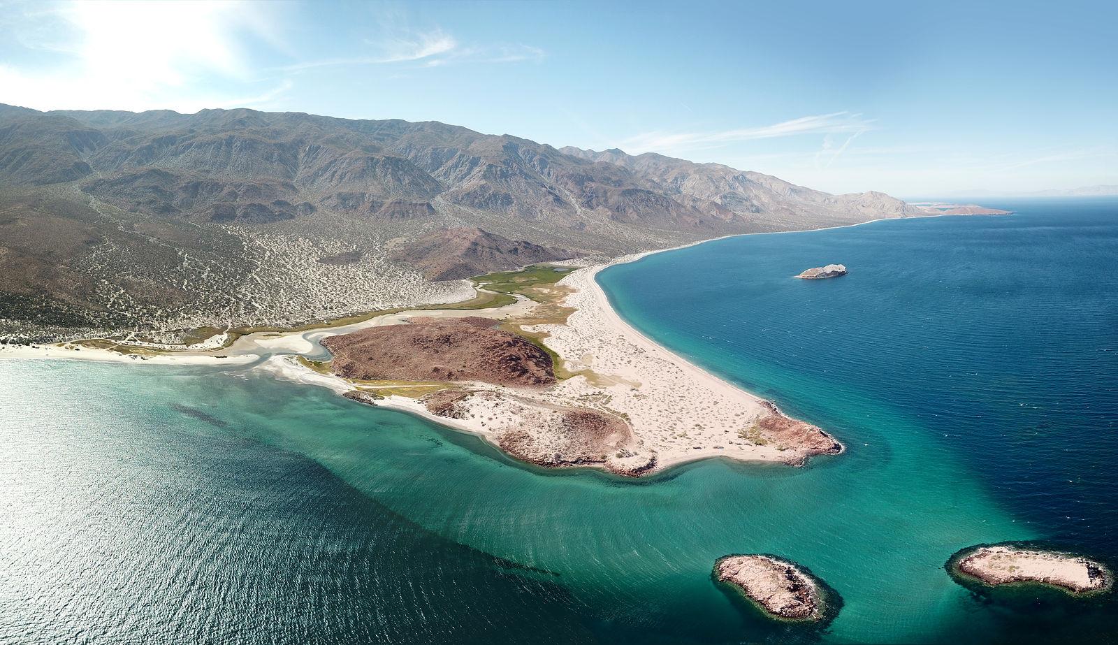
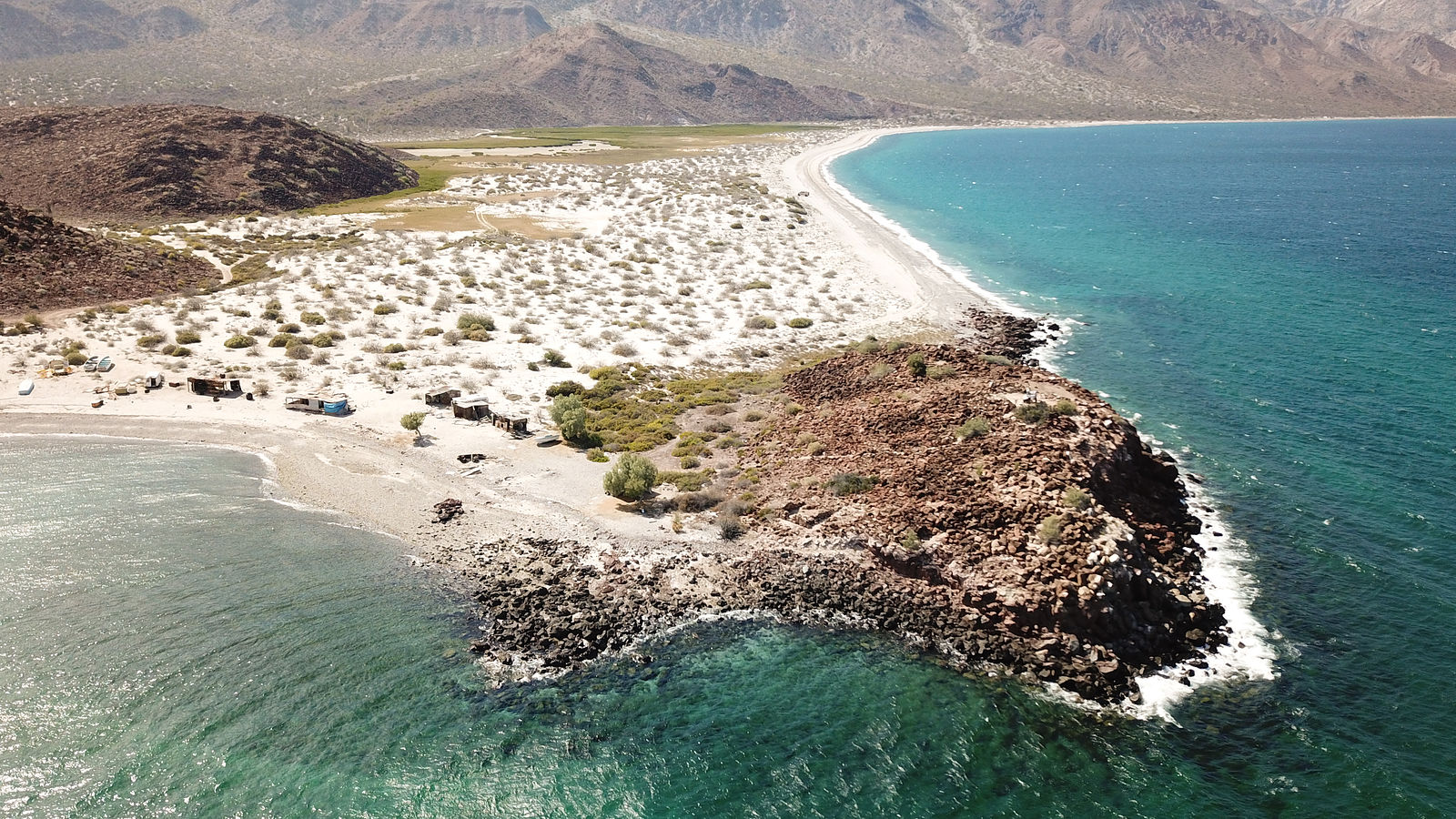
Bahía San Rafael South
Here, I'm camping at Playa Morro Blanco, one of my favorite beaches. The access road is eroded, rough, and there are tight squeezes through bushes
that will scratch your vehicle. But for me, the seclusion is worth it.
To get photos of these shy red crabs, I had to sneak up on them - a few inches at a time over a period of 5 minutes. (GPS:28.4552,-112.9902)
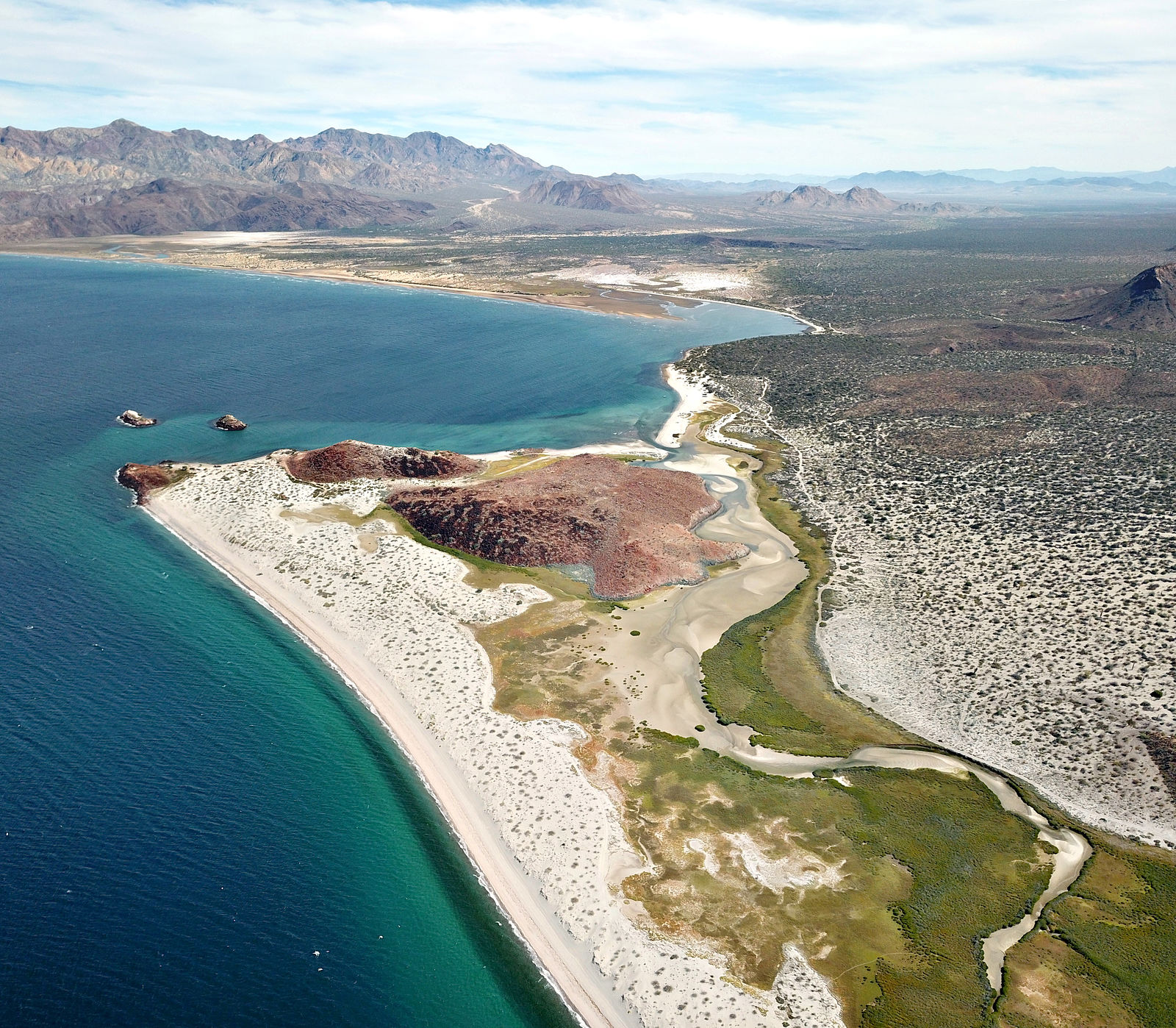
This scenic lagoon pool is all the way at the east end of Bahía San Rafael, at Punta Ballena.
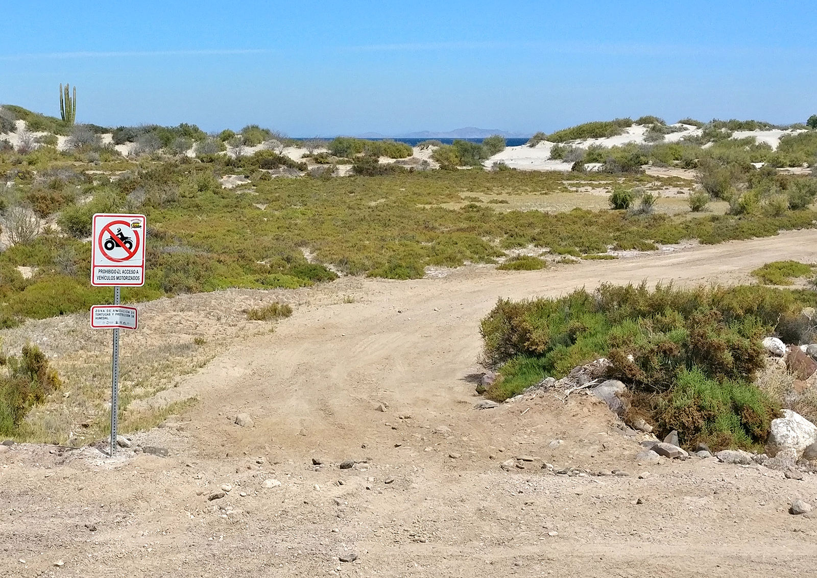
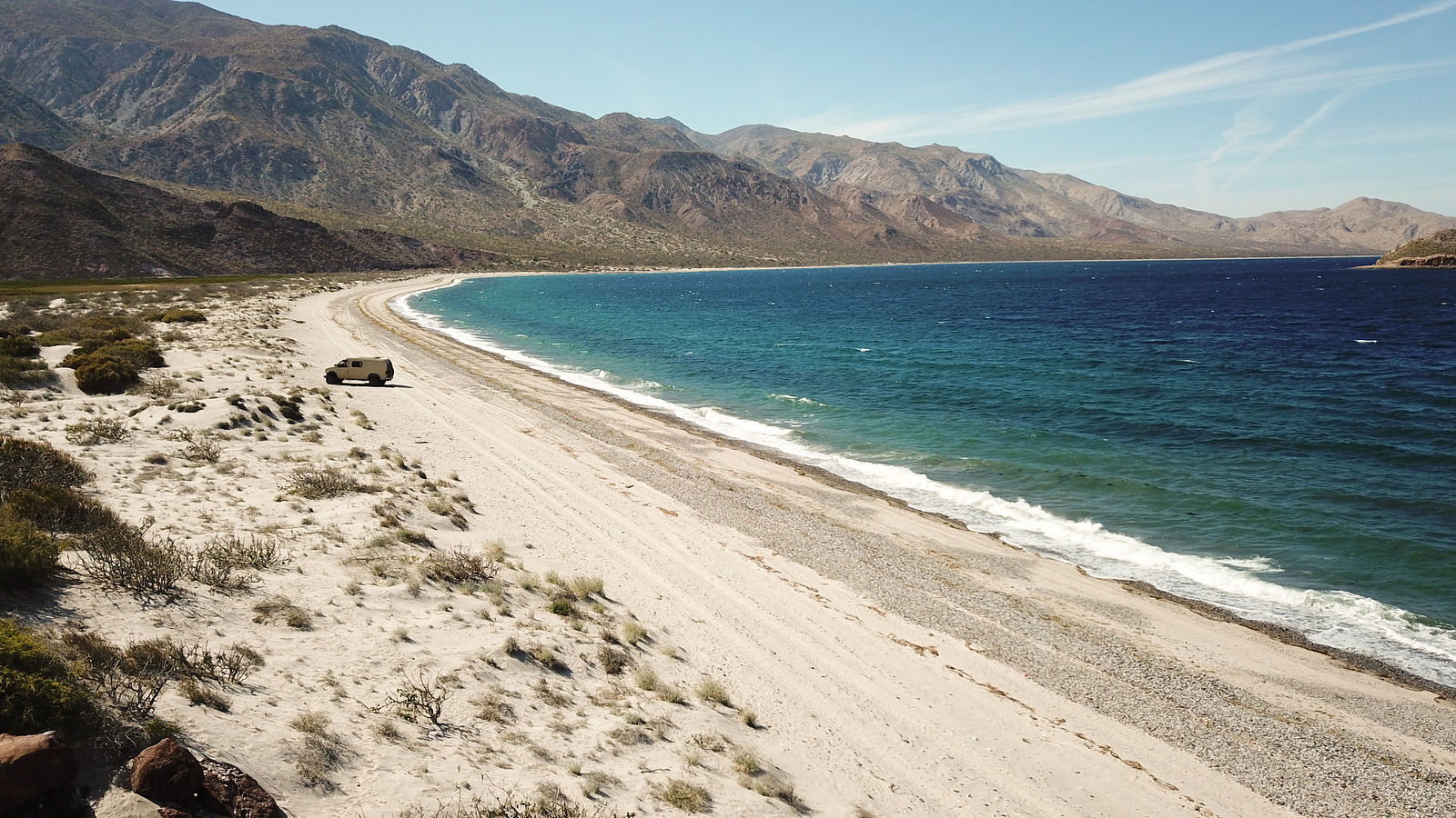
Playa San Rafael
I passed by this spot where I have camped many times in the past (the only sandy beach site I know of on Playa San Rafael other than the private
campground). It now sports a No Motorized Vehicles sign
Bahía de las Animas
There's a lovely northeast-facing beach on the sand spit at (GPS:28.8190,-113.3590). The beach is used as the access road for an active fishing camp
at the end of this sand bar, so camping isn't totally private.
I tried to locate the rock art at Las Tinajitas, but I ran into this locked gate at (GPS:28.7733,-113.7409)
Time to Go Home
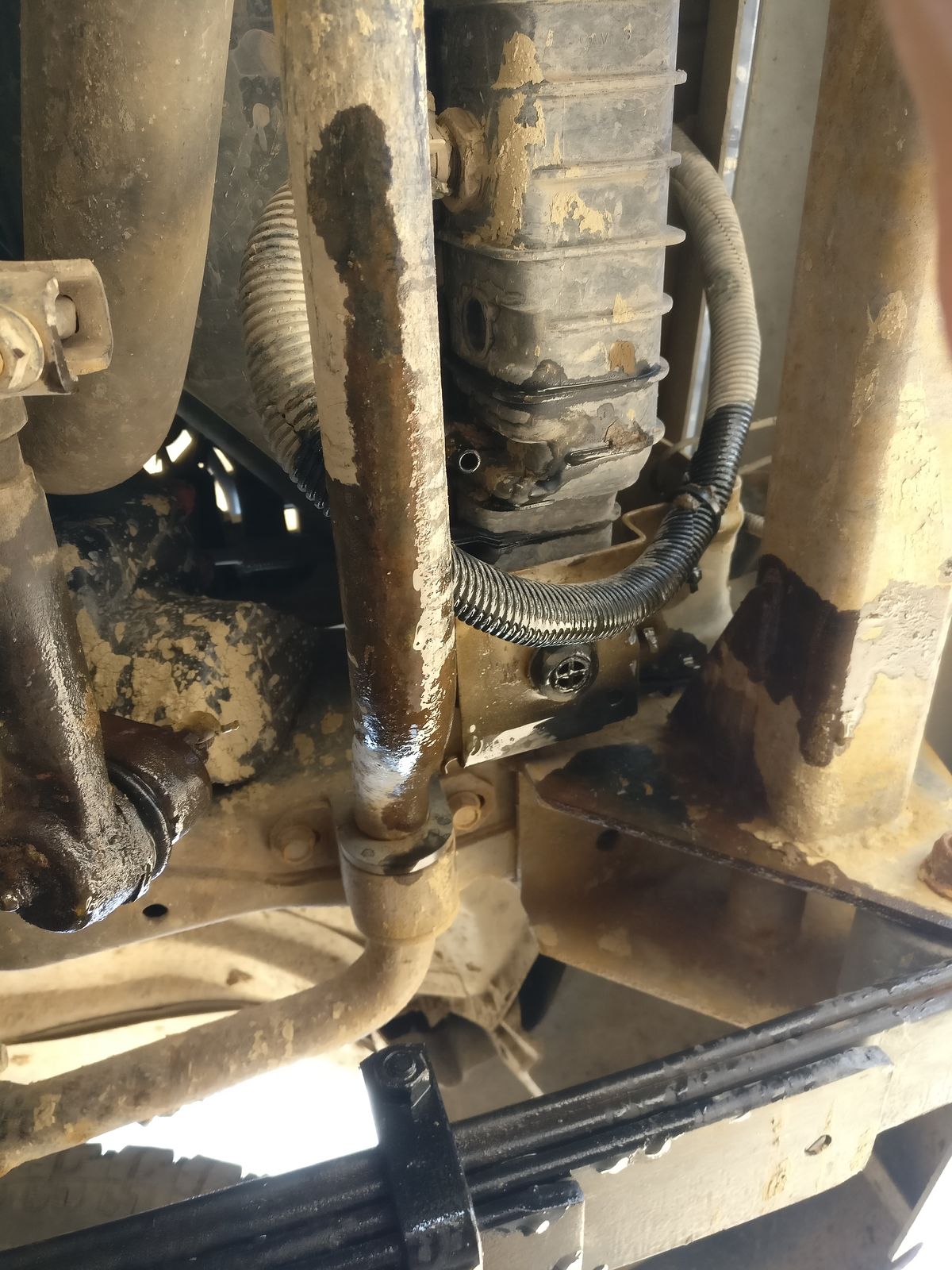
My next thought was to do some more exploring north of Agua Amarga, but (luckily) I happened to pause and do a quick inspection under the van. The
radiator was leaking! And this wasn't just from a loose hose.
Not a good time to go remote!
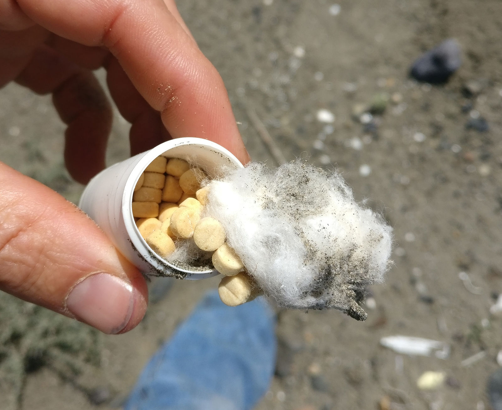
At this point, I decided my van had accumulated too many insults. I had a substandard spare tire, a noisy loose rear brake pad, a detached muffler, a
cracked windshield, and now a leaky radiator. I purchased some packets of stop-leak powder back in Bahía de los Angeles. (At 20 pesos each, I
splurged and bought two.) I realized it was time to call it quits, and limp my van 1700 miles back home to Seattle.
What a wonderful trip report. Thanks for all the photos. The aerial views are stunning. They offer a unique perspective of the surrounding land . . .
like a living almanac.
Wow, what a trip! Did it meet your expectations this year? You mentioned being unsatisfying.
I know you were on a be by yourself trip but it would have been great to have you over for lunch while you were in La Bocana. One has to eat!
Thank you for the offer, BajaBlanca! Maybe next time. I do get into a bit of a manic never-stop gotta-see-everything mode on these adventures, but it
is good to stop and breathe once in a while.
Yes, this trip was very "satisfying" I managed to delay my car trouble for an
extra week this time.
As others have said, very nice, Thank You for taking the time to post all of the shots!
The fish camp at Las Animas was in use? Last couple of times I have been there it was deserted.
There was a couple of guys living right past where the road kinda Y's on the right and right on the beach.
Left will take you around the lagoon to the beach and the house someone is building there in the draw to the left (east) and then you can follow the
beach/sand dunes to the right (west) down to the fish camp between the bay and the lagoon.
Right would take you to the beach where the guys are living and you have to cross the lagoon inlet/outlet to drive out to the fish camp.
Too bad about the car and tire problems, good to hear you made it home safely though.
This has to be a must-see. I read some online papers and this is a new feature that began with the big Easter earthquake of 2010. If there is more or
corrected info, please share!
This has to be a must-see. I read some online papers and this is a new feature that began with the big Easter earthquake of 2010. If there is more or
corrected info, please share!
Yes, it looks like you're correct! Here's a new thread to discuss this fumarole:
"If it were lush and rich, one could understand the pull, but it is fierce and hostile and sullen.
The stone mountains pile up to the sky and there is little fresh water. But we know we must go back
if we live, and we don't know why." - Steinbeck, Log from the Sea of Cortez
"People don't care how much you know, until they know how much you care." - Theodore Roosevelt
"You can easily judge the character of others by how they treat those who they think can do nothing for them or to them." - Malcolm Forbes
"Let others lead small lives, but not you. Let others argue over small things, but not you. Let others
cry over small hurts, but not you. Let others leave their future in someone else's hands, but not you." - Jim Rohn
"The best way to get the right answer on the internet is not to ask a question; it's to post the wrong answer." - Cunningham's Law
Thankyou to Baja Bound
Mexico InsuranceServices for your long-term support of the BajaNomad.com Forums site.
Emergency Baja Contacts Include:
Desert Hawks;
El Rosario-based ambulance transport; Emergency #: (616) 103-0262


 I managed to delay my car trouble for an
extra week this time.
I managed to delay my car trouble for an
extra week this time.
