| Pages:
1
2
3
4
5 |
David K
Honored Nomad

Posts: 64479
Registered: 8-30-2002
Location: San Diego County
Member Is Offline
Mood: Have Baja Fever
|
|
My book.
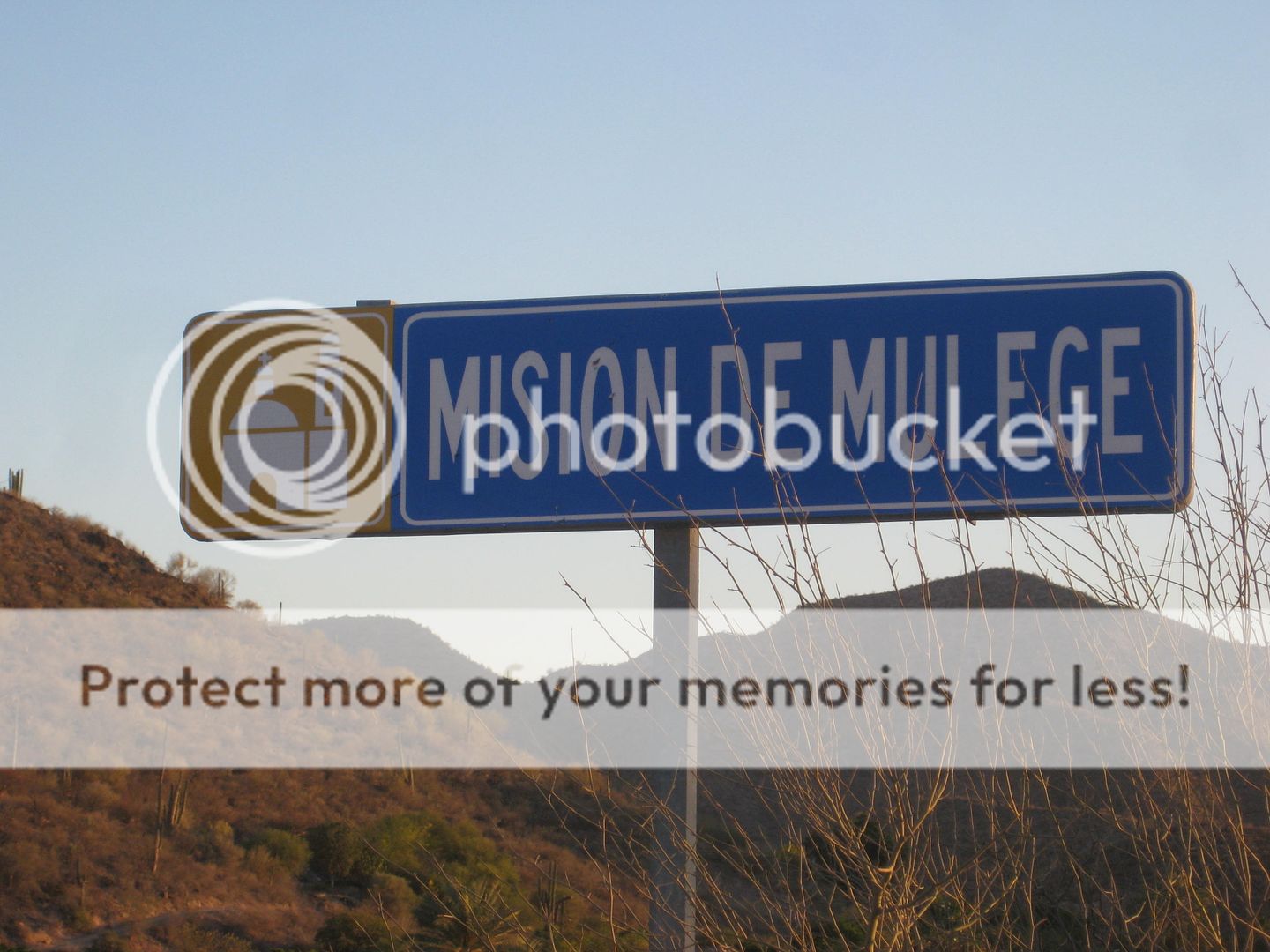
The GPS of the wired-shut gate, from Google Earth: 26° 55.078'N, 112° 24.223'W Harald, this is just west of the sign: Ex-Mision de Guadalupe by the
mission area.
The better and openable gate to access the mission is to the left of the La Presa sign, here: 26° 55.226'N, 112° 24.322'W
The mission church is about here: 26° 55.107'N, 112° 24.362'W
|
|
|
4x4abc
Ultra Nomad
Posts: 4163
Registered: 4-24-2009
Location: La Paz, BCS
Member Is Offline
Mood: happy - always
|
|
thanks David!
Harald Pietschmann
|
|
|
David K
Honored Nomad
Posts: 64479
Registered: 8-30-2002
Location: San Diego County
Member Is Offline
Mood: Have Baja Fever
|
|
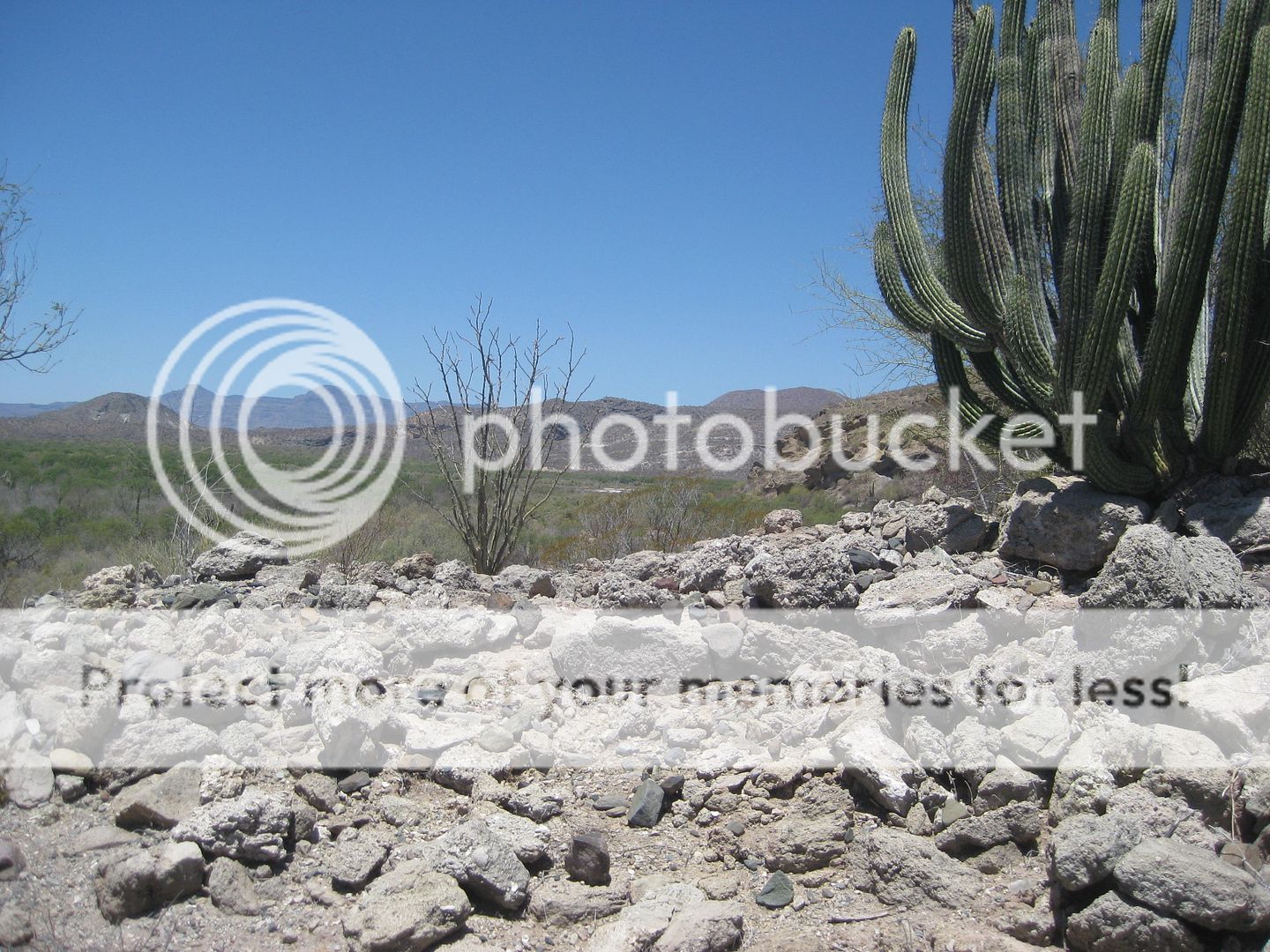
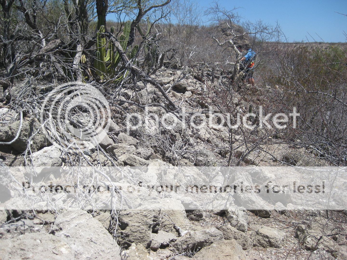
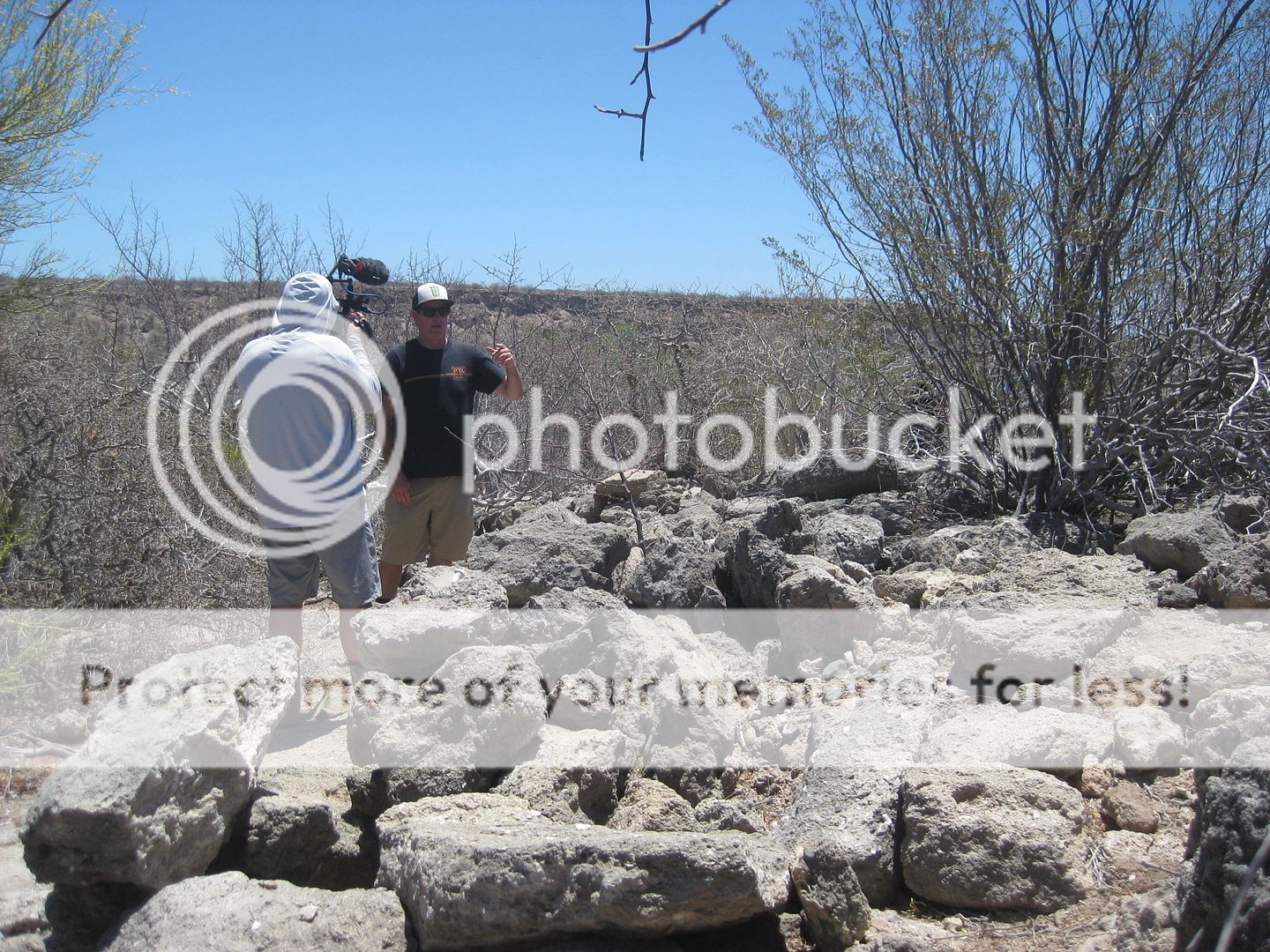
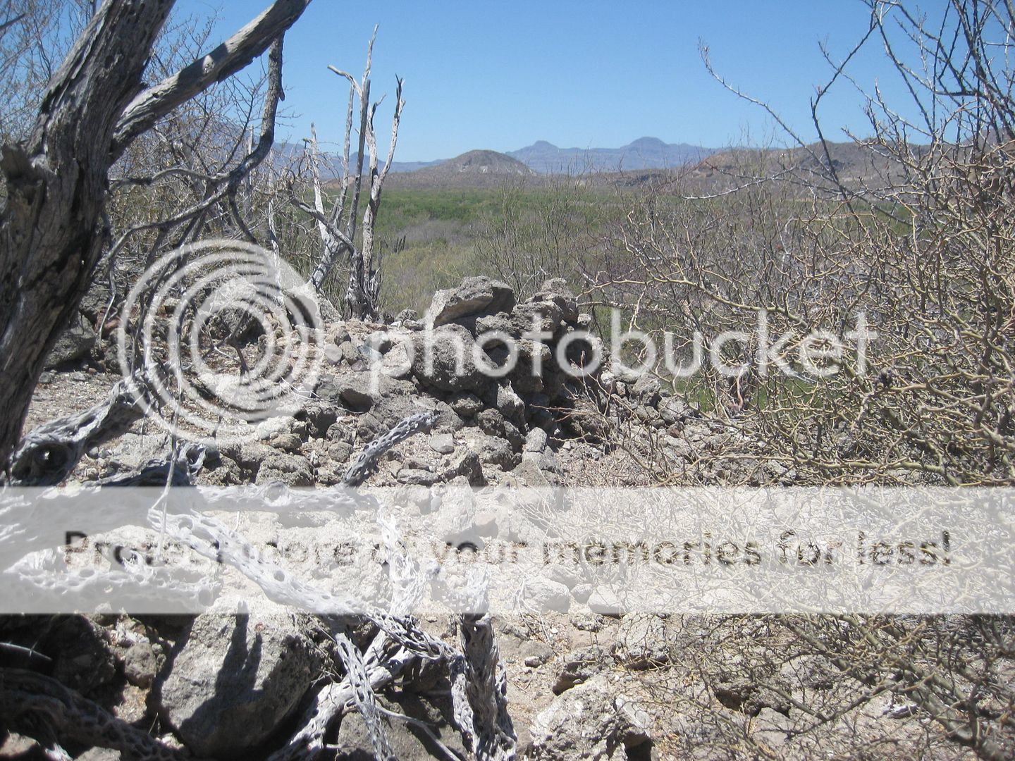
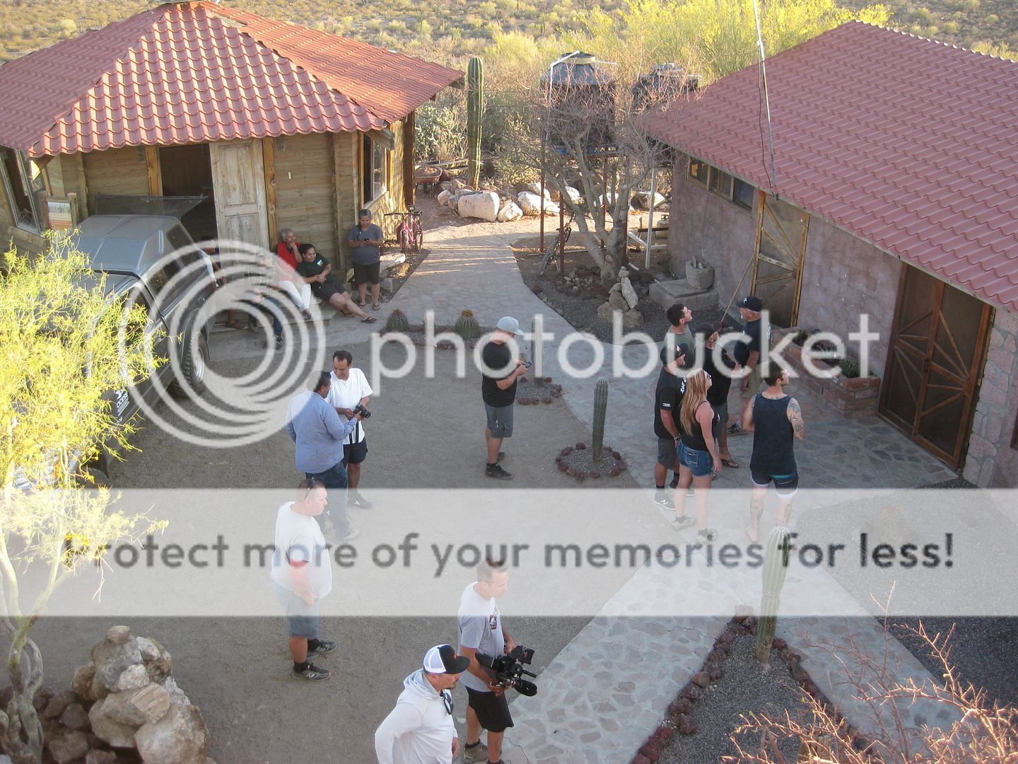
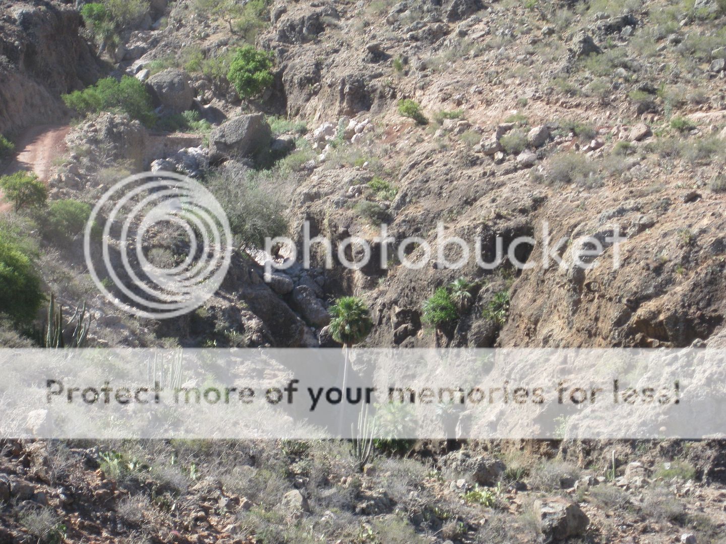
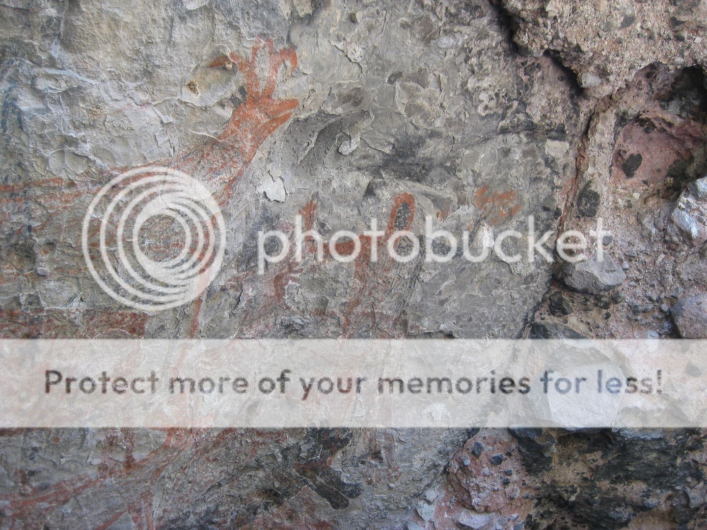
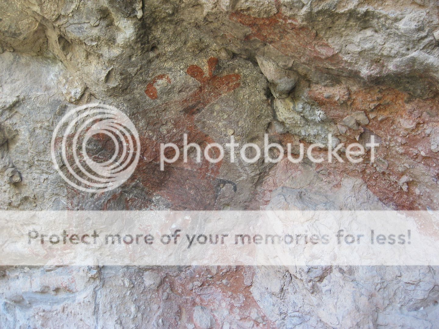
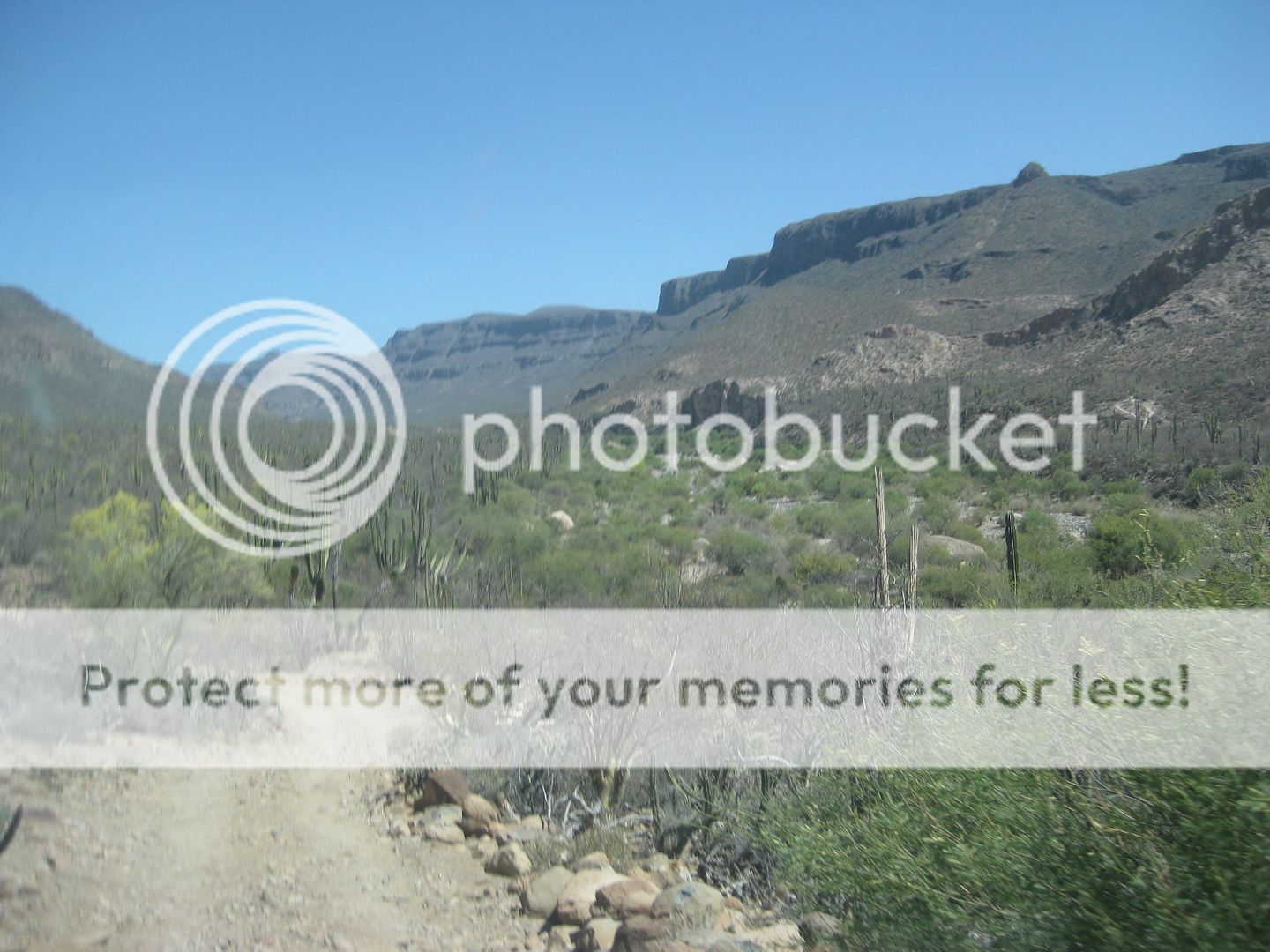
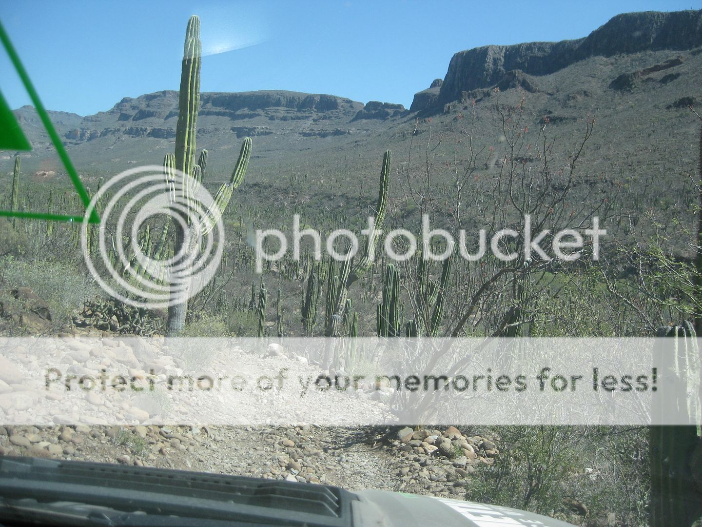
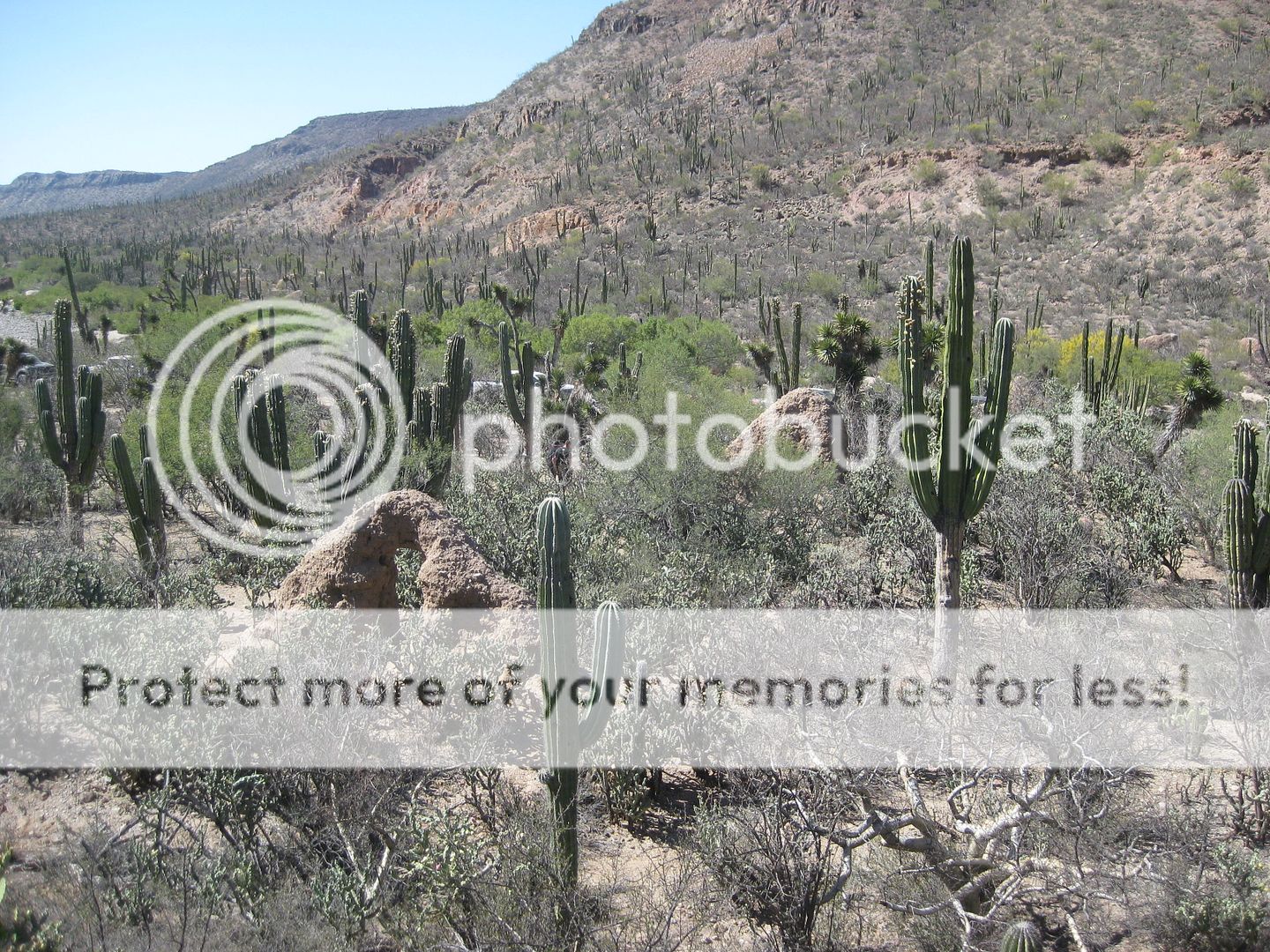
DAY 3 cont'd: To San Borjitas Painted Cave
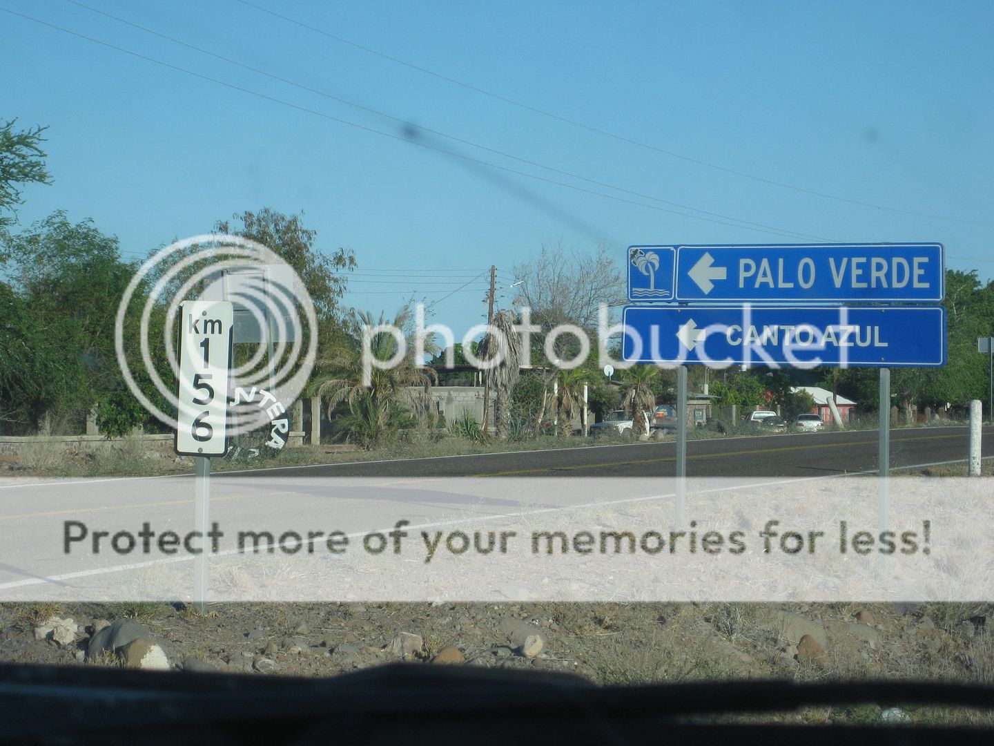
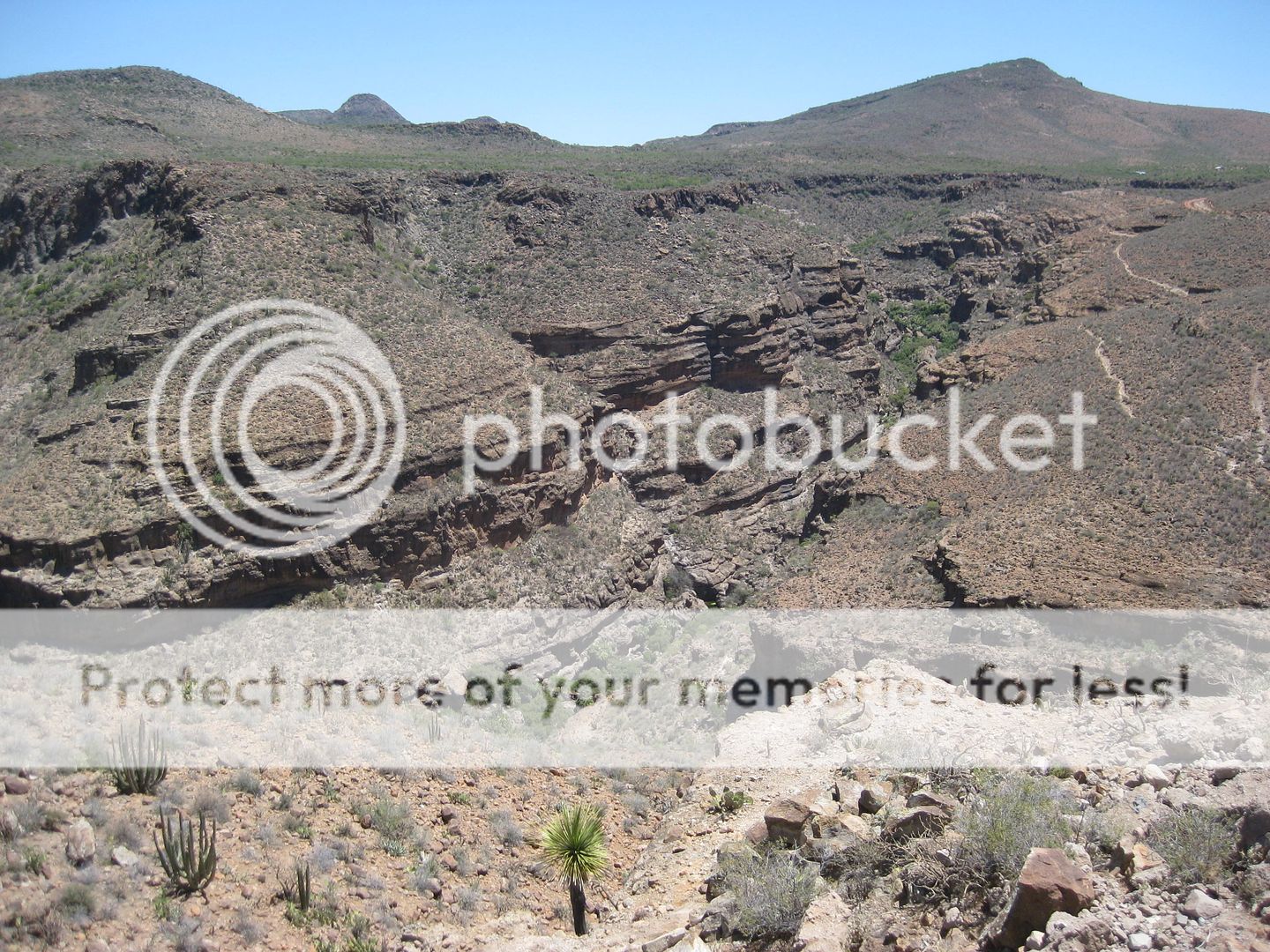
The turnoff is at KM. 156 north edge of Palo Verde (the town where the Punta Chivato road is, at Km. 155.5). I will calculate the miles to the cave
site from my GPS track or Google Earth and add it here. It is approx. 15 miles of pretty good dirt road.
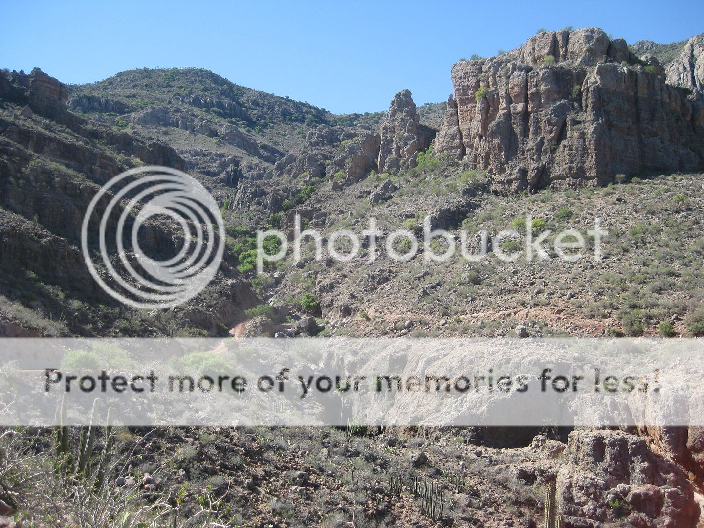
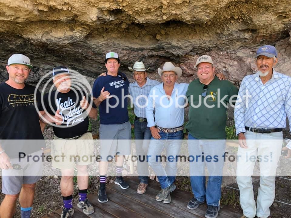
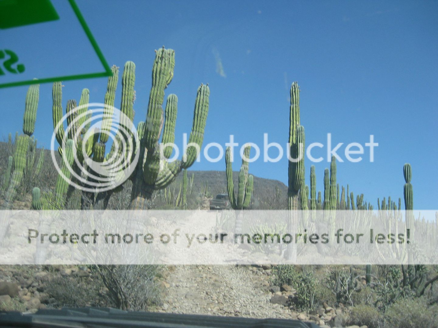
You drive to the end of the road (left branch at the only fork midway in) and there you will see all the signage to arrange a tour to the site. We met
Ernesto there, paid the permits... as I recall it was 75 pesos per person and 300 pesos for the one guide. I don't recall if there was a camera fee
(like at San Francisco de la Sierra?
Ernesto hopped into one of the Raptors, took us back a bit to a side road with a locked gate, and we went down that valley, to a parking area (has
bathrooms and shade tree) where the hike begins. Ernesto said it was an 800-meter hike. There are a couple of steep parts so this is for healthy
people only. Two people in our group were older than me and we all made it, but my legs were sore later!
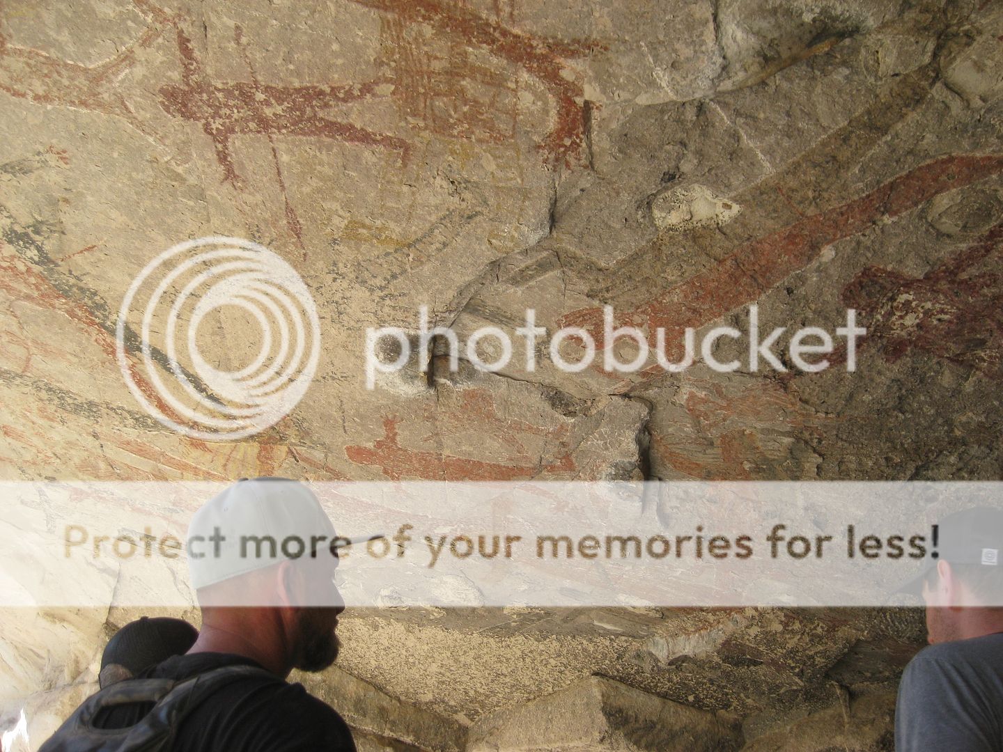
Well. the cave is fantastic... so many human figures on such a high, steep ceiling. How were they painted up there? Micheal Angelo worked the same
way, at the Vatican!
Photos:
Sign at the ranch where you first go.
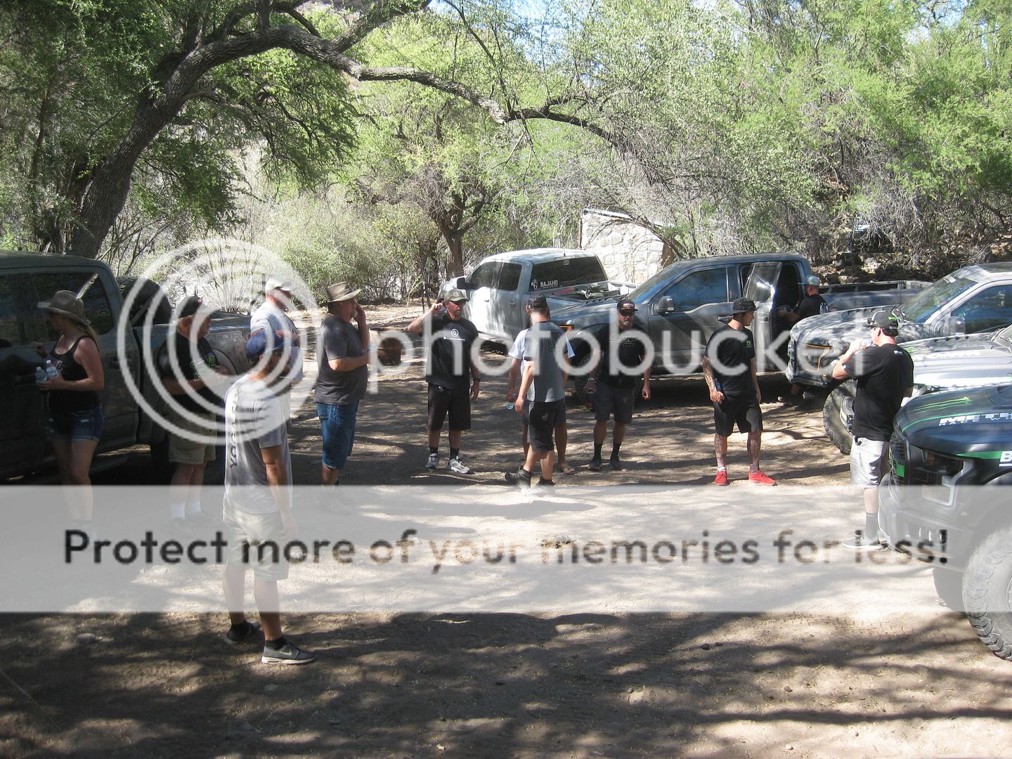
The parking area at the trailhead.
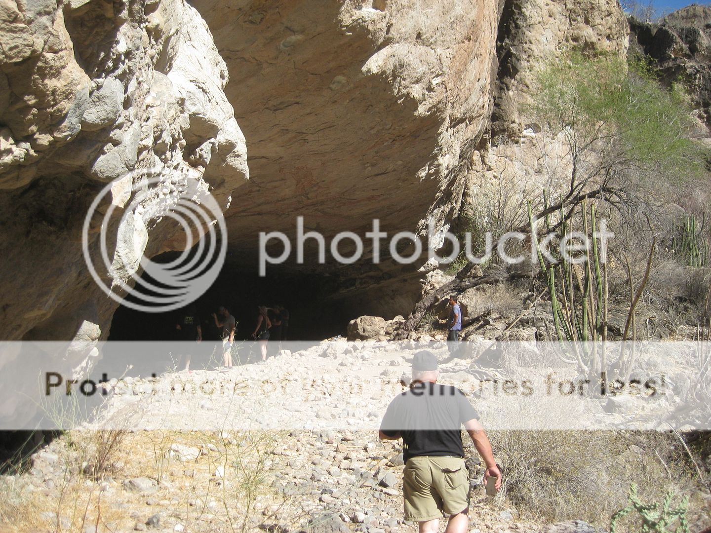
Nearing the cave.

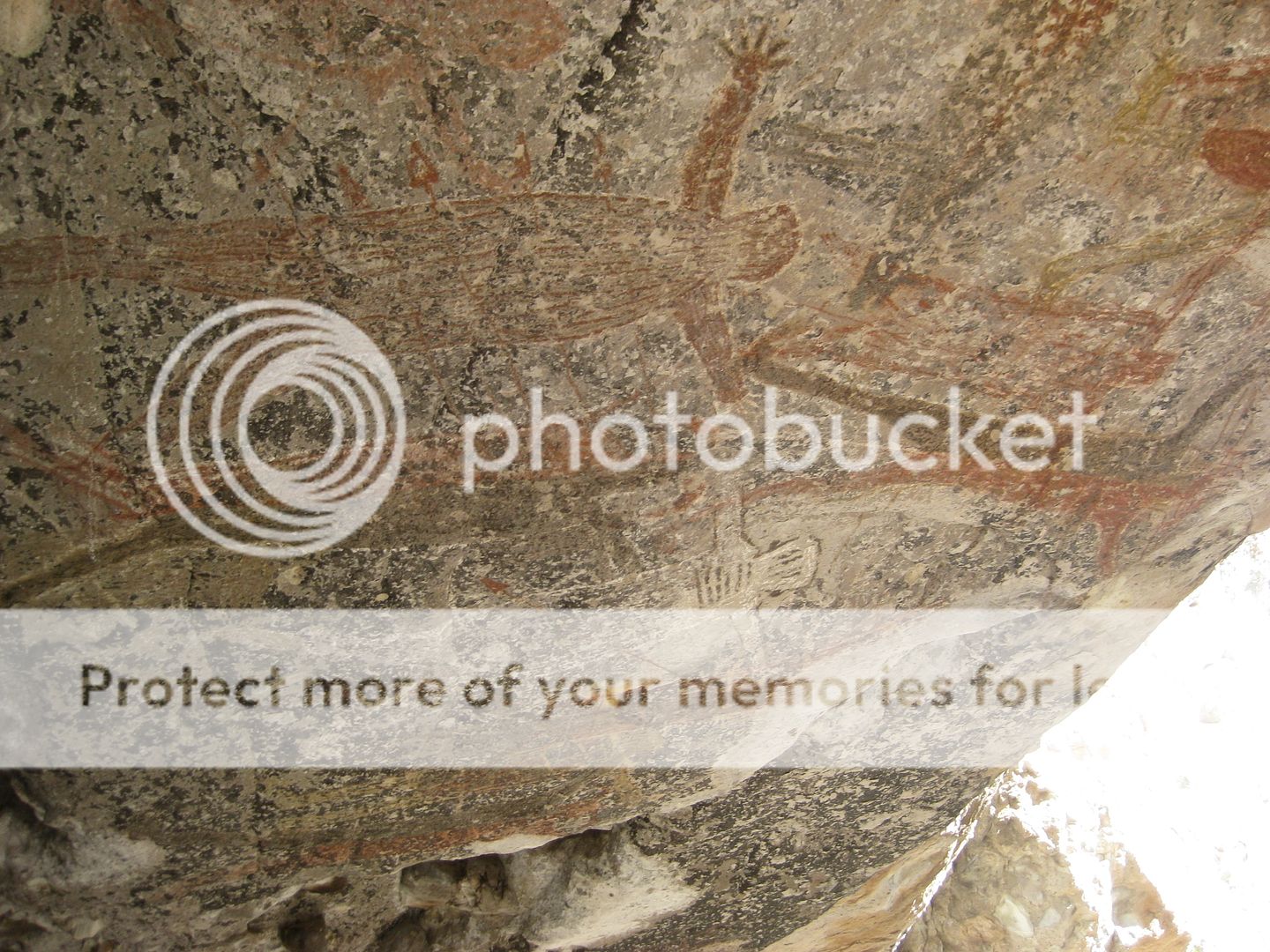


Could they be... ALIENS???
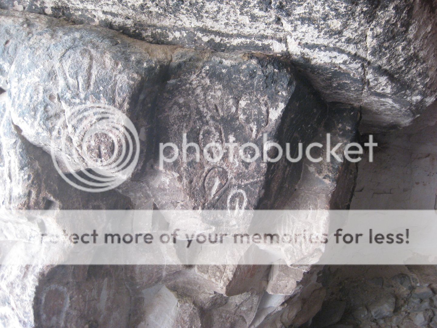
Petroglyphs of lady parts and a turtle.
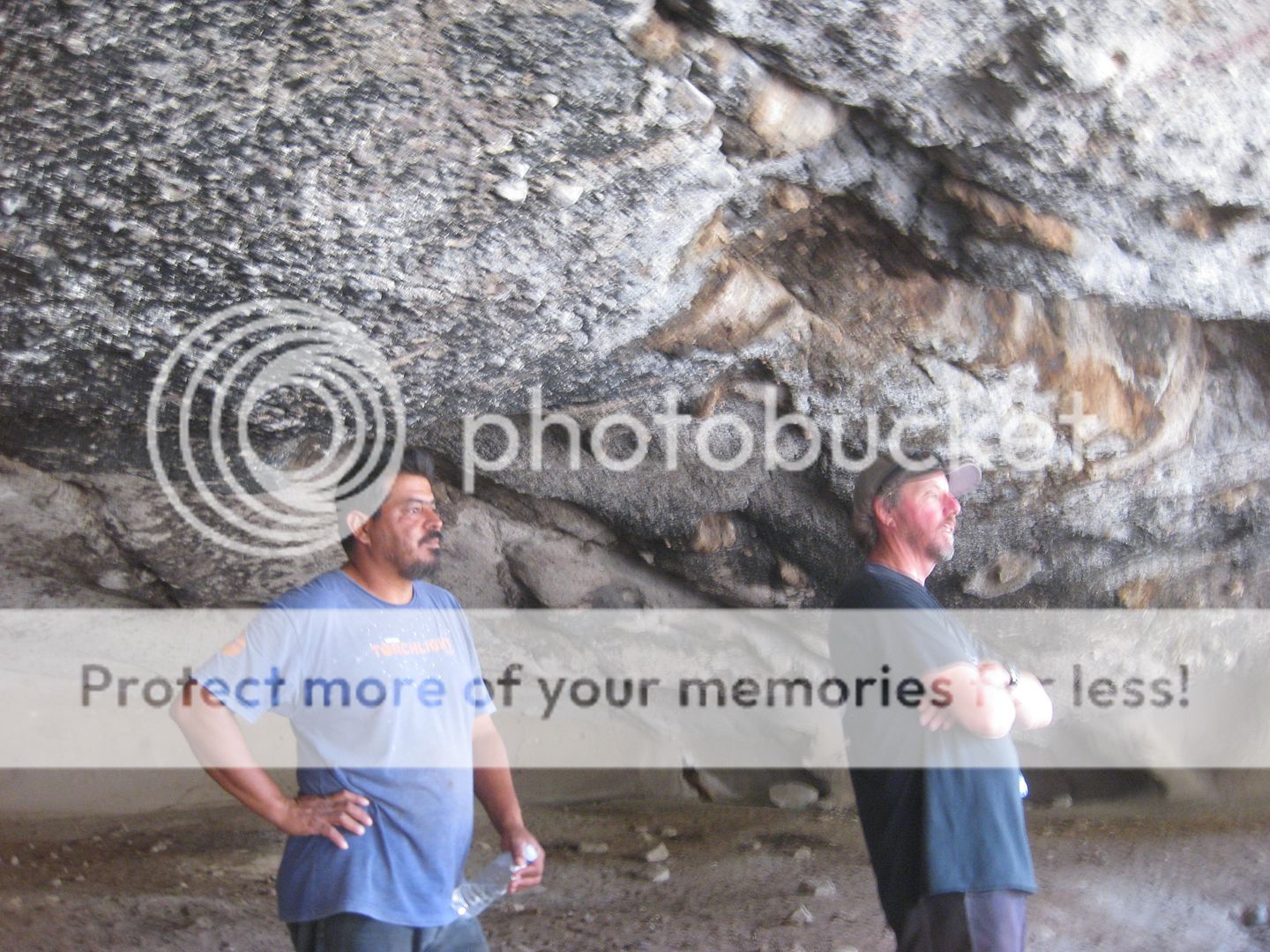
Our guide.

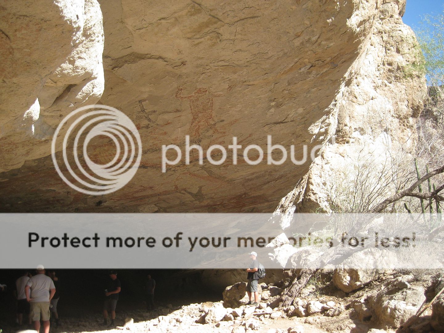
The big stone (by the guy on the right) is covered with ancient blood residue. Ernesto said this was a sacrifice site.


|
|
|
David K
Honored Nomad
Posts: 64479
Registered: 8-30-2002
Location: San Diego County
Member Is Offline
Mood: Have Baja Fever
|
|
Day 3 final
When we returned to Mulegé, there was still enough light to film at the mission...
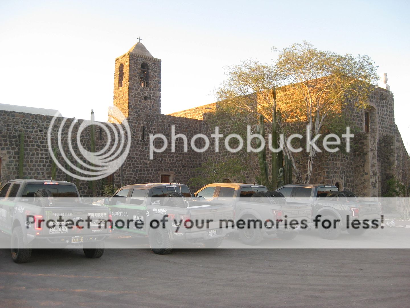
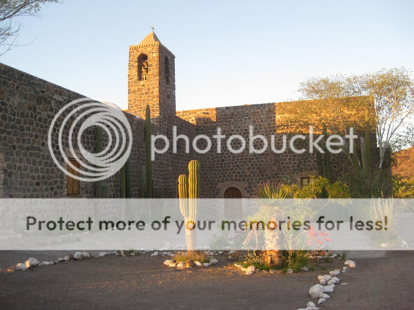
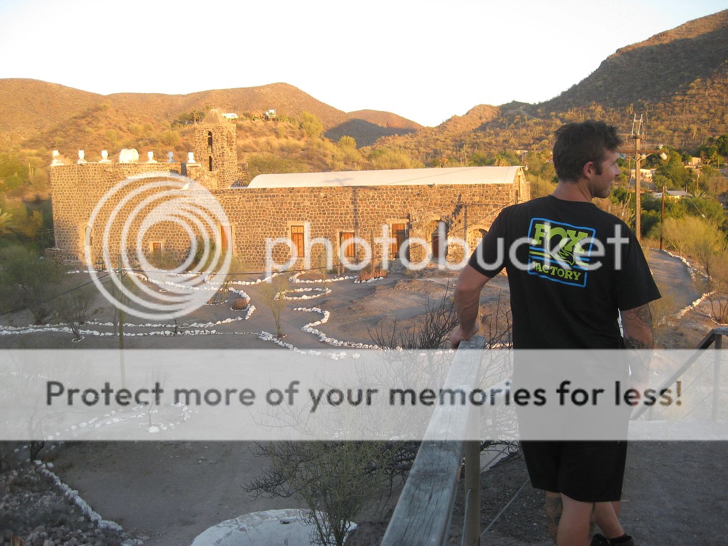
Dakar star and Honda m/c racer Ricky Brabek was with us.
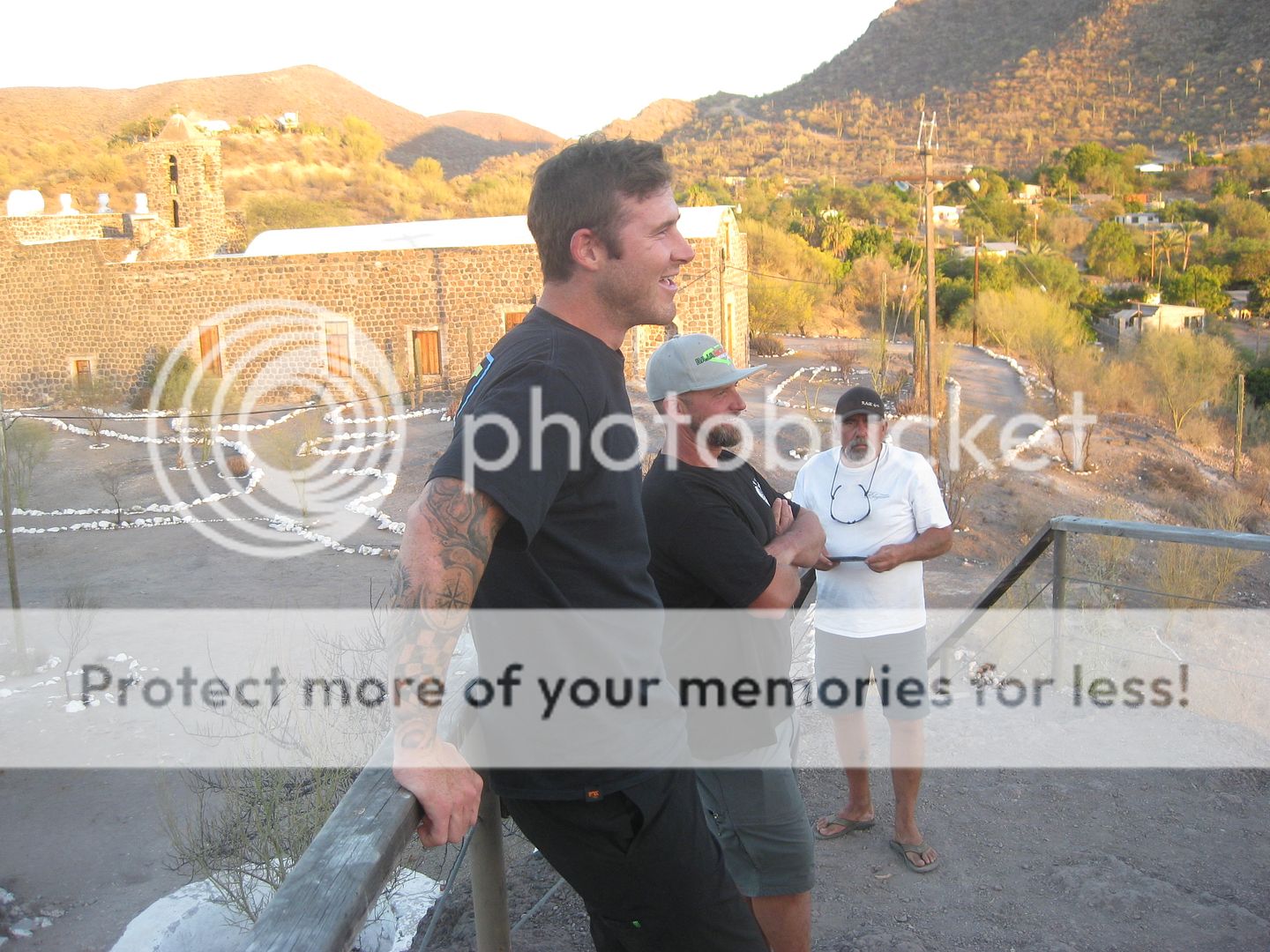
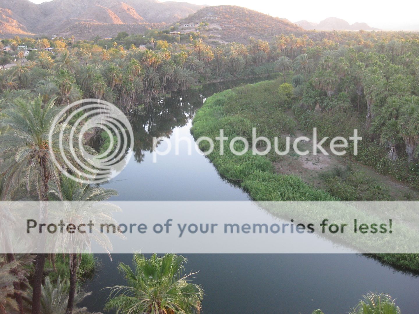
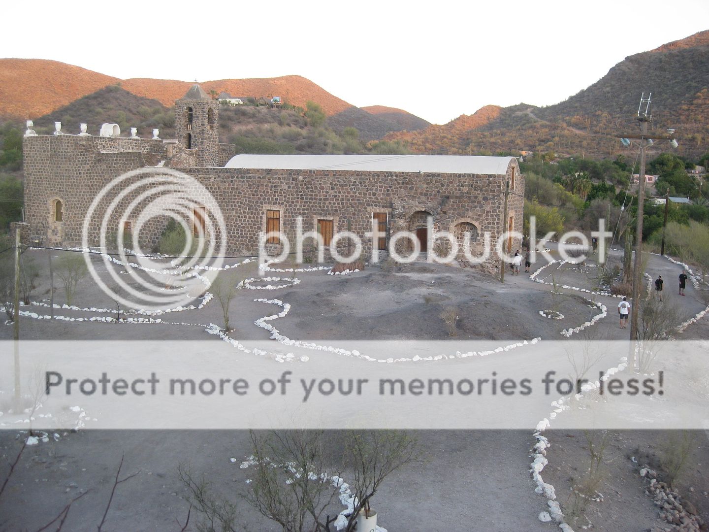
Back to the Serenidad for dinner and sleep. I had the Mexican combination plate and it was very good.
END of DAY 3. Tomorrow we go south, almost to Loreto.
|
|
|
mtgoat666
Select Nomad
Posts: 17292
Registered: 9-16-2006
Location: San Diego
Member Is Offline
Mood: Hot n spicy
|
|
15 guys in 6 cars. Matching cars, so Cute! Would be cuter if you all wore matching outfits! 
But in these days of global warming and environmental doom, you SHOULD have carpooled and driven 4 cars. My f150 crew cab has huge backseat, we have
done baja trips with 5 adults and been very comfortable. If fat, maybe stick to 4 in the truck.
Woke!
“...ask not what your country can do for you – ask what you can do for your country.” “My fellow citizens of the world: ask not what America
will do for you, but what together we can do for the freedom of man.”
Prefered gender pronoun: the royal we
|
|
|
bajatrailrider
Super Nomad
Posts: 2423
Registered: 1-24-2015
Location: Mexico
Member Is Offline
Mood: Happy
|
|
Quote: Originally posted by mtgoat666  | 15 guys in 6 cars. Matching cars, so Cute! Would be cuter if you all wore matching outfits!
But in these days of global warming and environmental doom, you SHOULD have carpooled and driven 4 cars. My f150 crew cab has huge backseat, we have
done baja trips with 5 adults and been very comfortable. If fat, maybe stick to 4 in the truck. |
The turd you drive is a no count good to go to market.
Nothing else wet brain you cant carpool because you stink so bad. No one can get in back seat. To top it off your hurting global warming . Because no
one changed your dippers dip chit get a new job. Your job of village Idiot baja blow hard is not working.
|
|
|
bajaric
Senior Nomad
Posts: 602
Registered: 2-2-2015
Member Is Offline
|
|
Fun times! All those Raptors cost more than my house did back in the day... DK it appears that you drove on the new highway that bypasses Cocos, did
you make it all the way to Chapala on the new road? Where do you get on it? I tried and was blocked; did not appear that they wanted drivers on it
yet..
Poor Coco, if they stop maintaining the section of road that goes past his place it will not be long before it becomes impassable. The old dirt
highway from Huerfanito to Cinco Islas is pretty much gone, barely passable even on a moto any more. Several large arroyos drain to the Sea of
Cortez there and the big rain last October washed out the road in numerous spots.
|
|
|
David K
Honored Nomad
Posts: 64479
Registered: 8-30-2002
Location: San Diego County
Member Is Offline
Mood: Have Baja Fever
|
|
| Quote: Originally posted by bajaric | Fun times! All those Raptors cost more than my house did back in the day... DK it appears that you drove on the new highway that bypasses Cocos, did
you make it all the way to Chapala on the new road? Where do you get on it? I tried and was blocked; did not appear that they wanted drivers on it
yet..
Poor Coco, if they stop maintaining the section of road that goes past his place it will not be long before it becomes impassable. The old dirt
highway from Huerfanito to Cinco Islas is pretty much gone, barely passable even on a moto any more. Several large arroyos drain to the Sea of
Cortez there and the big rain last October washed out the road in numerous spots. |
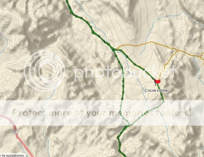
Hi bajaric, yes, we used the new highway route going south of Las Arrastras, it was wide open on Monday the 13th (as it was for me in August of 2018).
You get on it were the signed Coco's Corner road (the old road) forks to the left. This is just north of Las Arrastras and the bridge where you look
down on the former arrastra gold mill and well. The Las Arrastras Split, I call it.
When we came back north last Friday, the ramp up to it was not blocked, either, but we went back via Coco's Corner. Coco was not there but his helper
was, busy on the road removing all the beer cans from his string for recycling.
Now, I will say that the construction crews are back at work after a two-year absence, more paving is being applied as well. Where I could drive the
entire new roadbed from Km. 167.5 to the detour down to the old road just north of the canyon, they have the section from Las Arrasttras Split north
to the Km. 167.5 detour (20+ km south of the Pemex) closed off again.
Here is my GPS (inReach) track of both old and new roads...
|
|
|
David K
Honored Nomad
Posts: 64479
Registered: 8-30-2002
Location: San Diego County
Member Is Offline
Mood: Have Baja Fever
|
|
DAY 4 (WED MAY 15): South we go!
The itinerary today was to try and get to the oldest European ruins in all the Californias, San Bruno. In 1683, after a failed attempt at La Paz,
Padre Eusebio Francisco Kino and Admiral Isidro de Atondo y Antillón recrossed the gulf again and landed at San Bruno beach walked 2 miles inland and
established their colony with a fort on top of a hill. Remains of the triangular-shaped fort are still visible on this hill.
First, we went to the mission visita of San Juan Londó. Cameron did not know of it and being just a half mile off the highway, it is an easy site for
his tour to see. Londó was a farming location and a sort-of visita for San Bruno (1683-1685). Around 1699, it was redeveloped as a visita for the
Loreto mission and even considered to be a mission by the Jesuits. However, as it did not have a benefactor or full-time priest assigned, it was not a
true mission. The road west to Londó is at Km. 30.
At KM. 26 is a bridge over the San Bruno arroyo and on the south side, a road goes down to the dry wash. This is the access to the site (4WD only) and
there is also a gravel/ sand mining operation in the arroyo you pass by. Now, the arroyo forks and the road leading north to the ruins is hard to
spot. We go down the right branch to the estero and come back out to the highway and try the Playa Publica road to San Bruno beach next. This is at
KM. 24 and in the military checkpoint compound. You get checked then almost make a U-turn to take the road east to the beach, right through the middle
of the checkpoint structures. We go to the beach, it is beautiful and I chat with a fisherman at his shack just over to the left by the estero.
He tells me to go back and see the white gate for a road going north.
First, we take photos at Playa San Bruno. This is where the Spaniards landed in 1683.

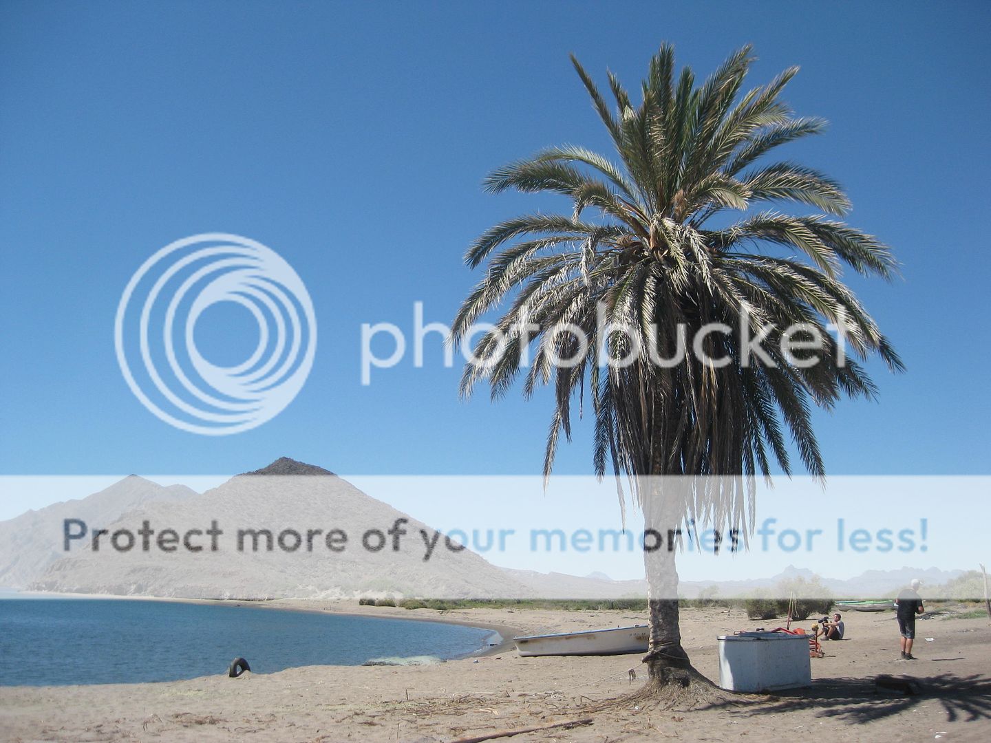
The road going north crosses the arroyo we had driven down earlier... and we did return to the highway at the bridge after exploring the old ruins.
|
|
|
David K
Honored Nomad
Posts: 64479
Registered: 8-30-2002
Location: San Diego County
Member Is Offline
Mood: Have Baja Fever
|
|
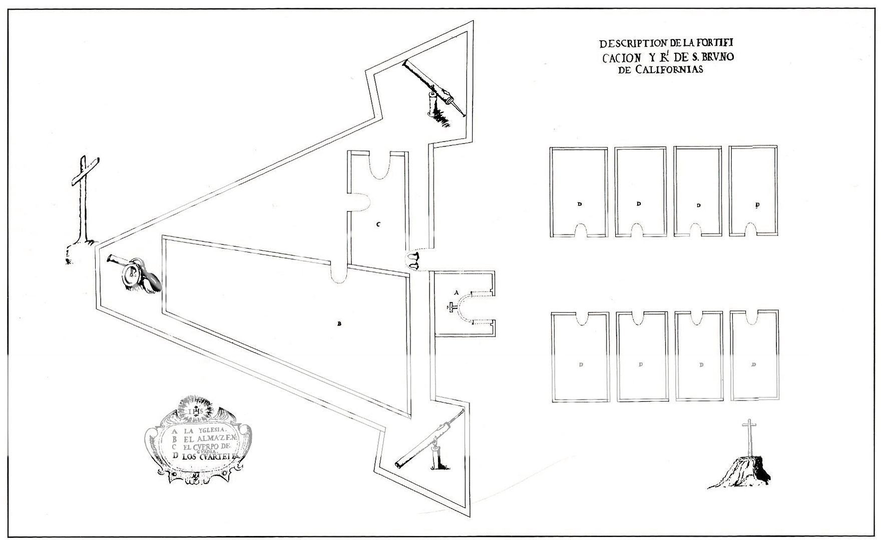
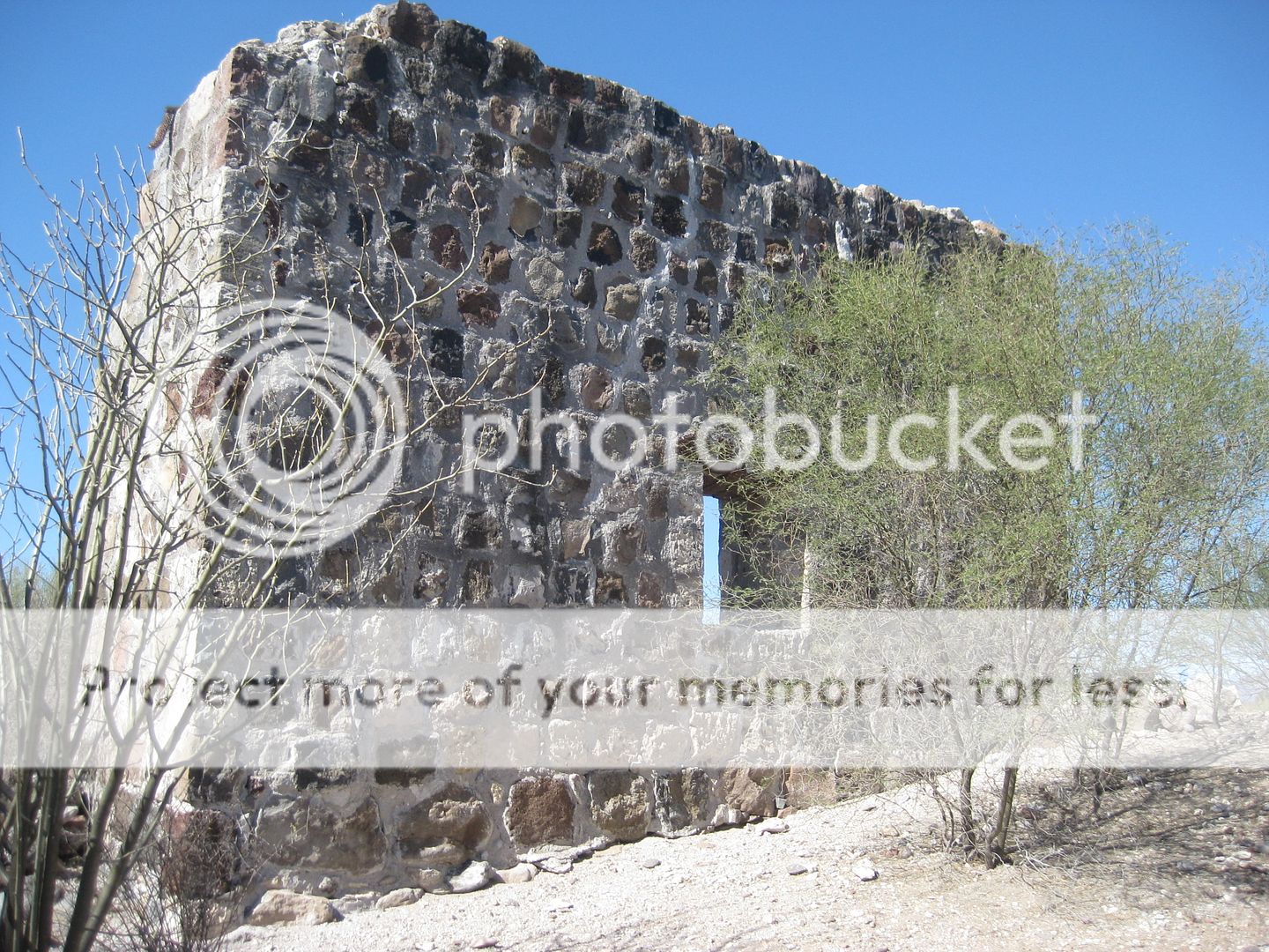
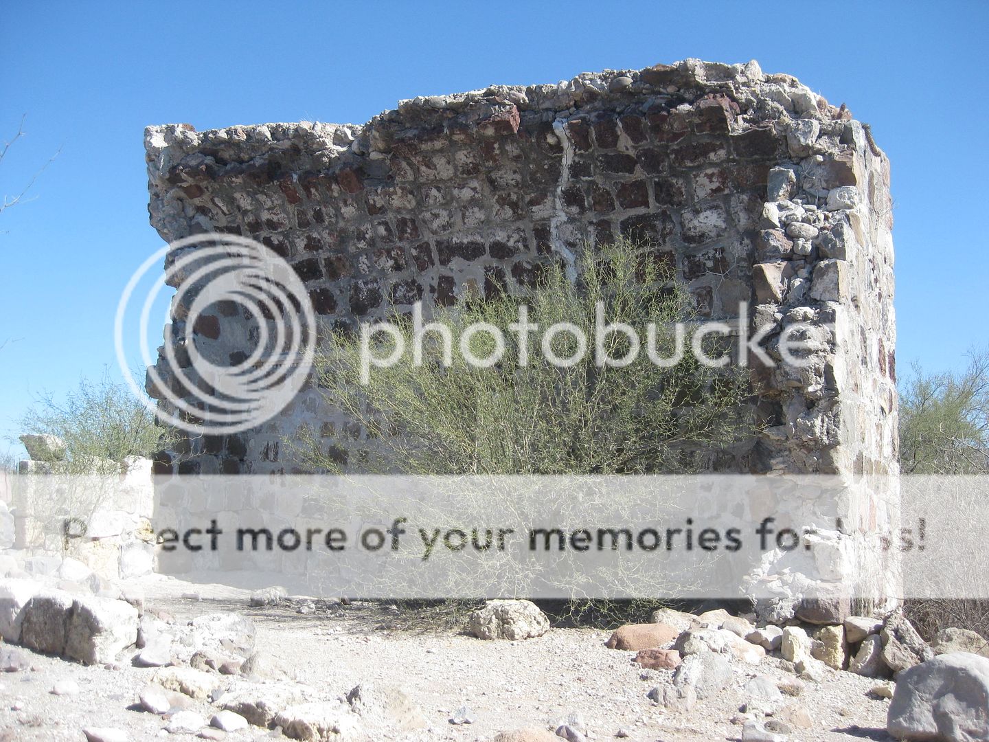
San Bruno
Some writers call San Bruno a mission, but it was more of a colony attempt to gain a foothold in California. It lasted less than two years as poor
water supply, lack of food, and scurvy all were hard to overcome. Kino and Atondo did make a crossing of the peninsula from here making them the first
to reach the Pacific by land.
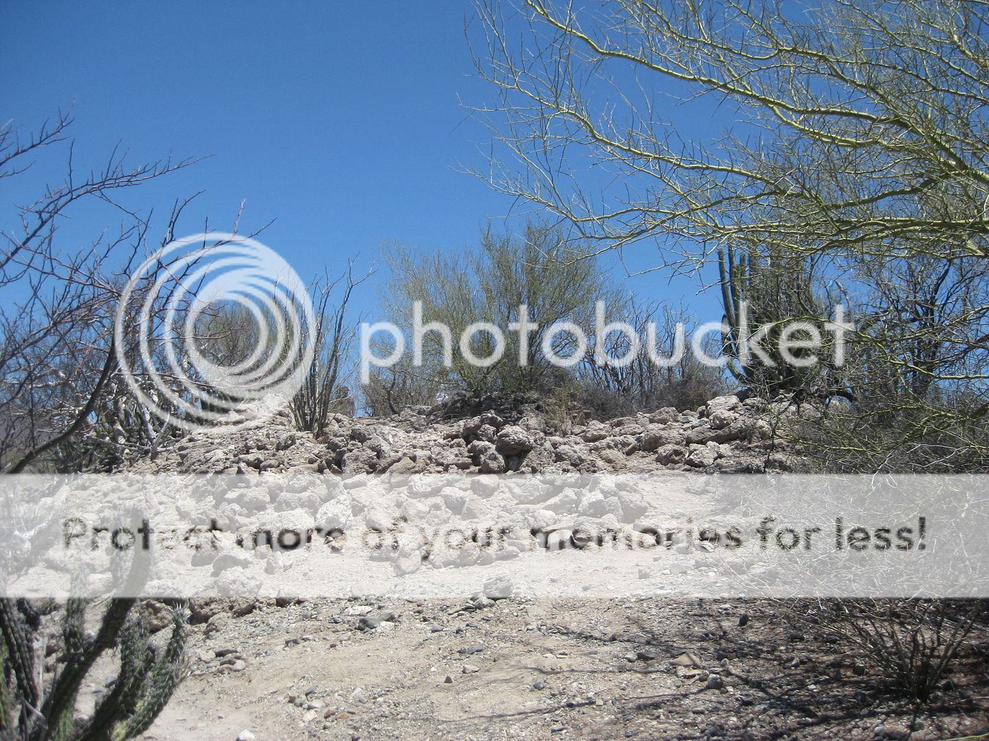
We first drove as close to the site as possible, did not see a trail through the shrubs and tried to find another access. We all parked on the flat to
the west of the hill. The drone was launched and Jimmy and I looked to find any sign of the fort. Meanwhile, the others hiked to it and found it
first. They found a good trail up from where we first drove to, it was simply hidden to our eyes. I walked directly from the Raptor to the hill and up
to the site. We all returned the way I went and said the trail they took up was easier.
The north side of the fort. The church was located here and houses were nearby. from the north side.
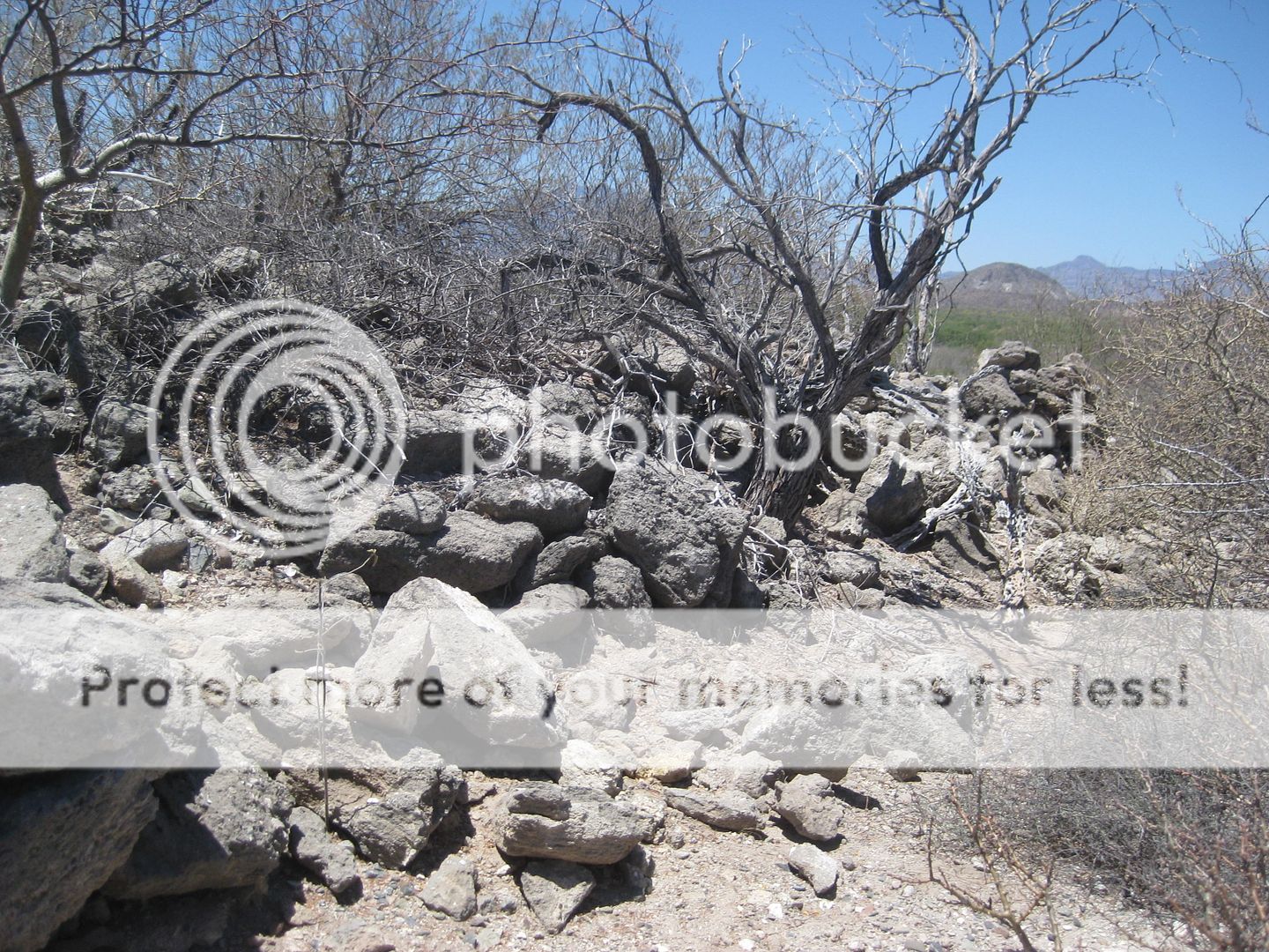
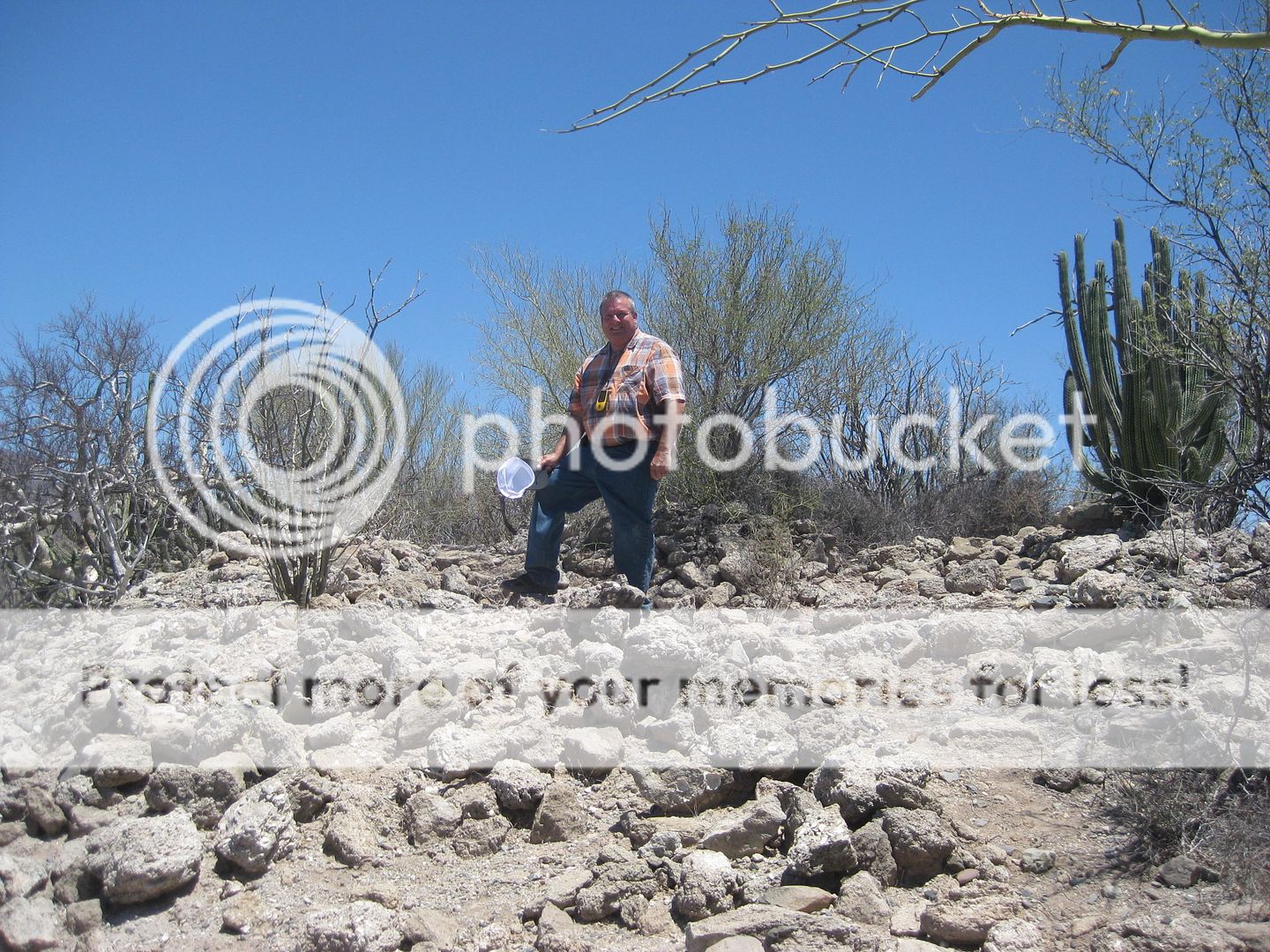
Here I am on the south side (pointy end) at the place others have photographed from the better trail up.
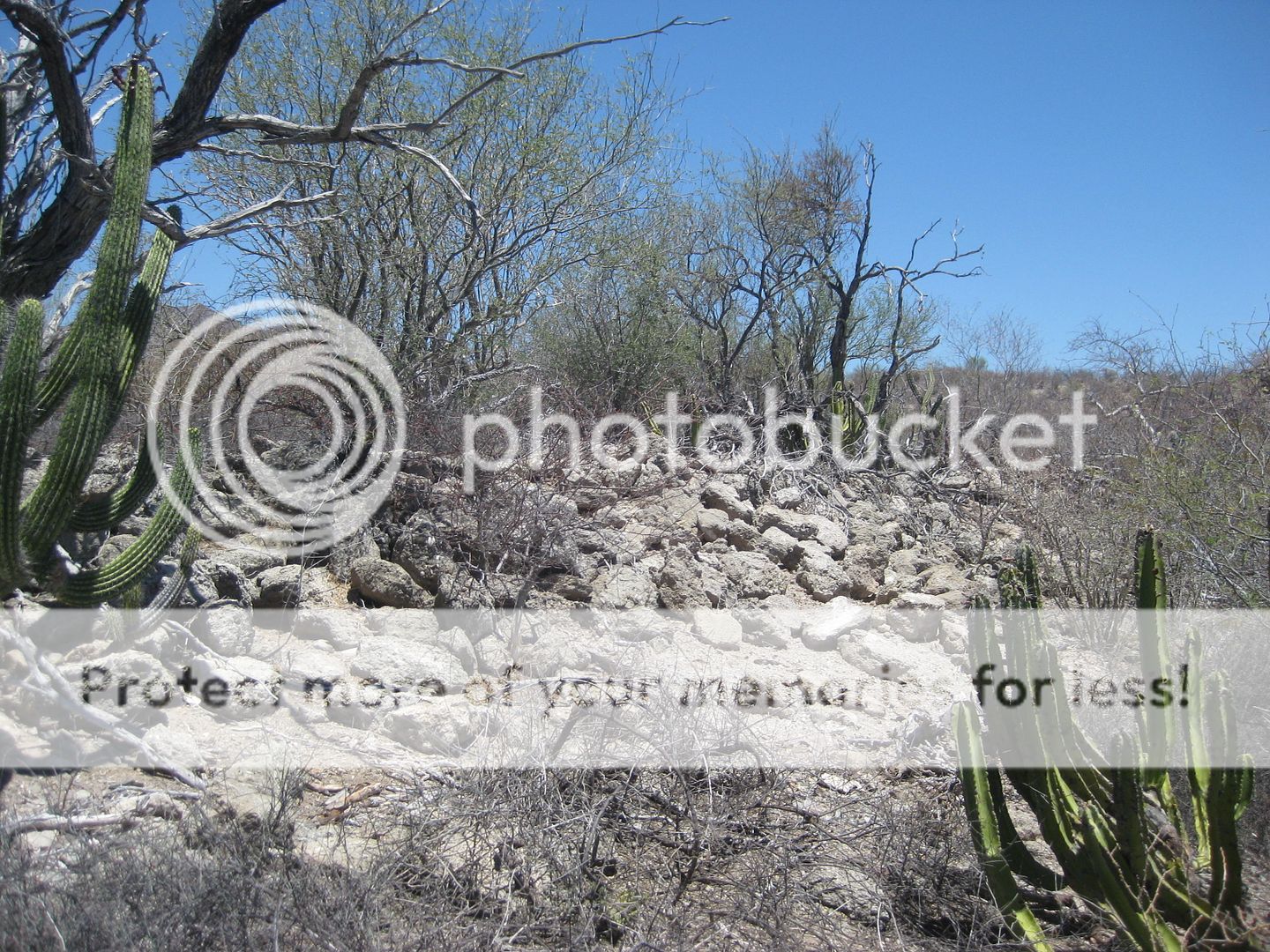
I take photos all around the fort.
The Jesuit site plan. Roughly, north is to the right. The photo where I am standing is about where the cross and cannon are, on the plan.
We drive out in the arroyo right to the highway bridge after seeing if the road going north look promising.
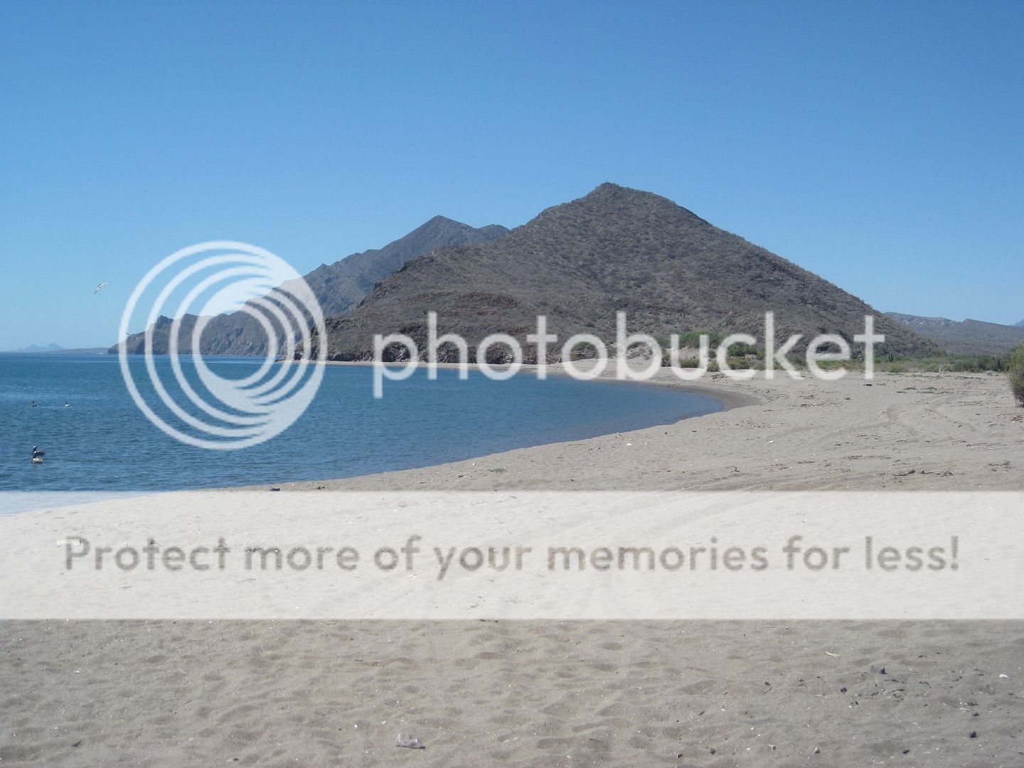
Next, time for lunch at Concepción Bay!
|
|
|
BajaRat
Super Nomad
Posts: 1302
Registered: 3-2-2010
Location: SW Four Corners / Bahia Asuncion BCS
Member Is Offline
Mood: Ready for some salt water with my Tecate
|
|
That's it.
|
|
|
BajaRat
Super Nomad
Posts: 1302
Registered: 3-2-2010
Location: SW Four Corners / Bahia Asuncion BCS
Member Is Offline
Mood: Ready for some salt water with my Tecate
|
|
Pretty cool David.
Thanks, Lionel 
|
|
|
ehall
Super Nomad
Posts: 1906
Registered: 3-29-2014
Location: Buckeye, Az
Member Is Offline
Mood: It's 5 o'clock somewhere
|
|
Another great write up. Thanks David.
|
|
|
David K
Honored Nomad
Posts: 64479
Registered: 8-30-2002
Location: San Diego County
Member Is Offline
Mood: Have Baja Fever
|
|
Thanks Ed & Lionel!
I need to finish Day 4 and still add Days 5 & 6!!! Hold on!!!
|
|
|
David K
Honored Nomad
Posts: 64479
Registered: 8-30-2002
Location: San Diego County
Member Is Offline
Mood: Have Baja Fever
|
|
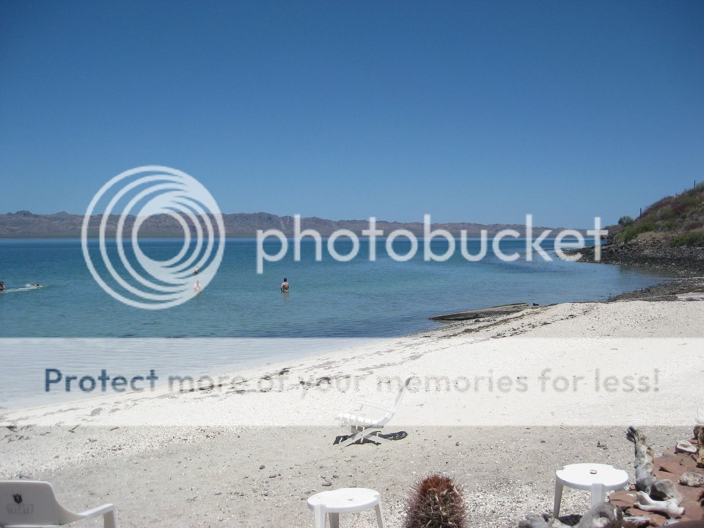
DAY 4, in the PM
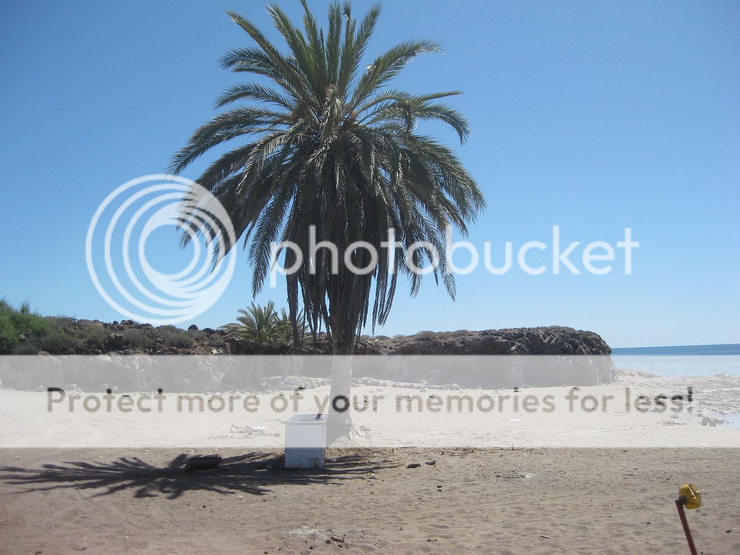
With success at getting to San Bruno, we make a beeline for lunch at Mark & Olivia's Playa Buenaventura where we have a cheeseburger in paradise
or some carne asada (I think)... I was one of the cheeseburger eaters, and it was great as always!
Cameron and another took a swim before lunch was served.
Let say that everywhere along the Cortez that week, the water was flat, no white caps, and warm! A great time to be in Baja!
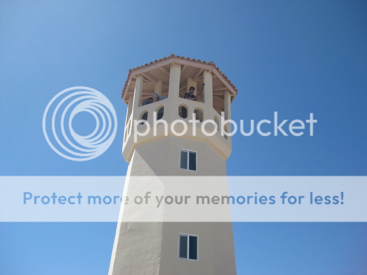
After lunch, they were asking about a side trip to another place and I recommended they see the fantastic Playa Frambes Lighthouse Resort www.mulege.org run by Nomad 'Bob & Susan'. It was great to visit with Bob & Susan, again. I was last there with Baja Angel on our 1-year
anniversary (2009).
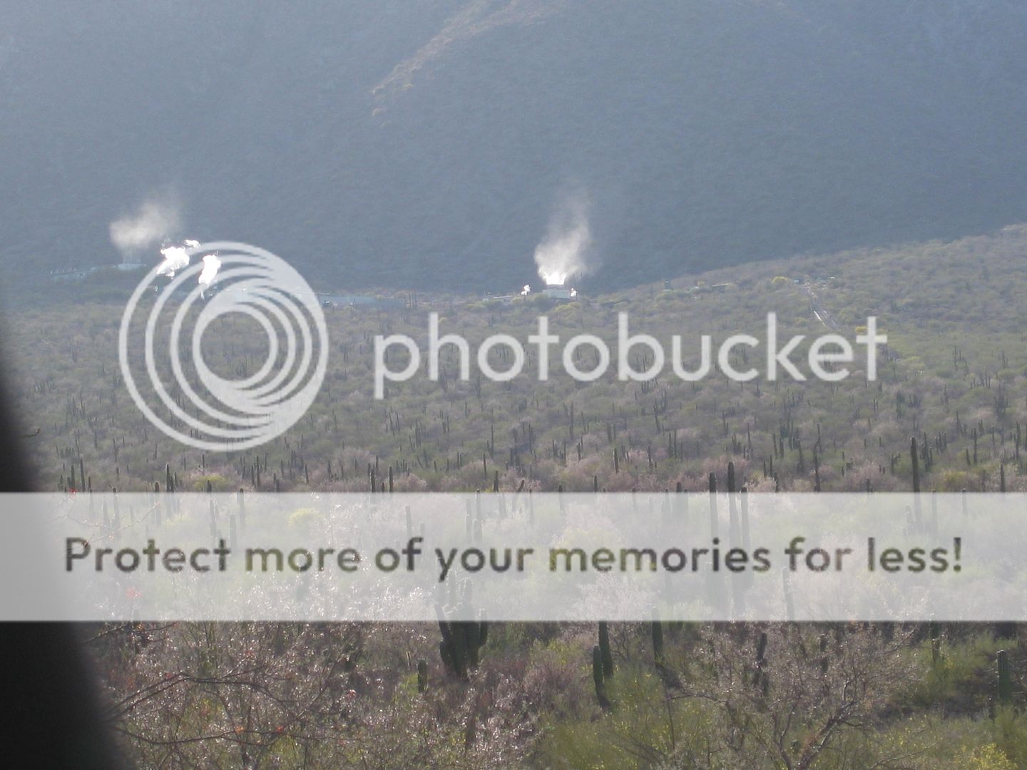
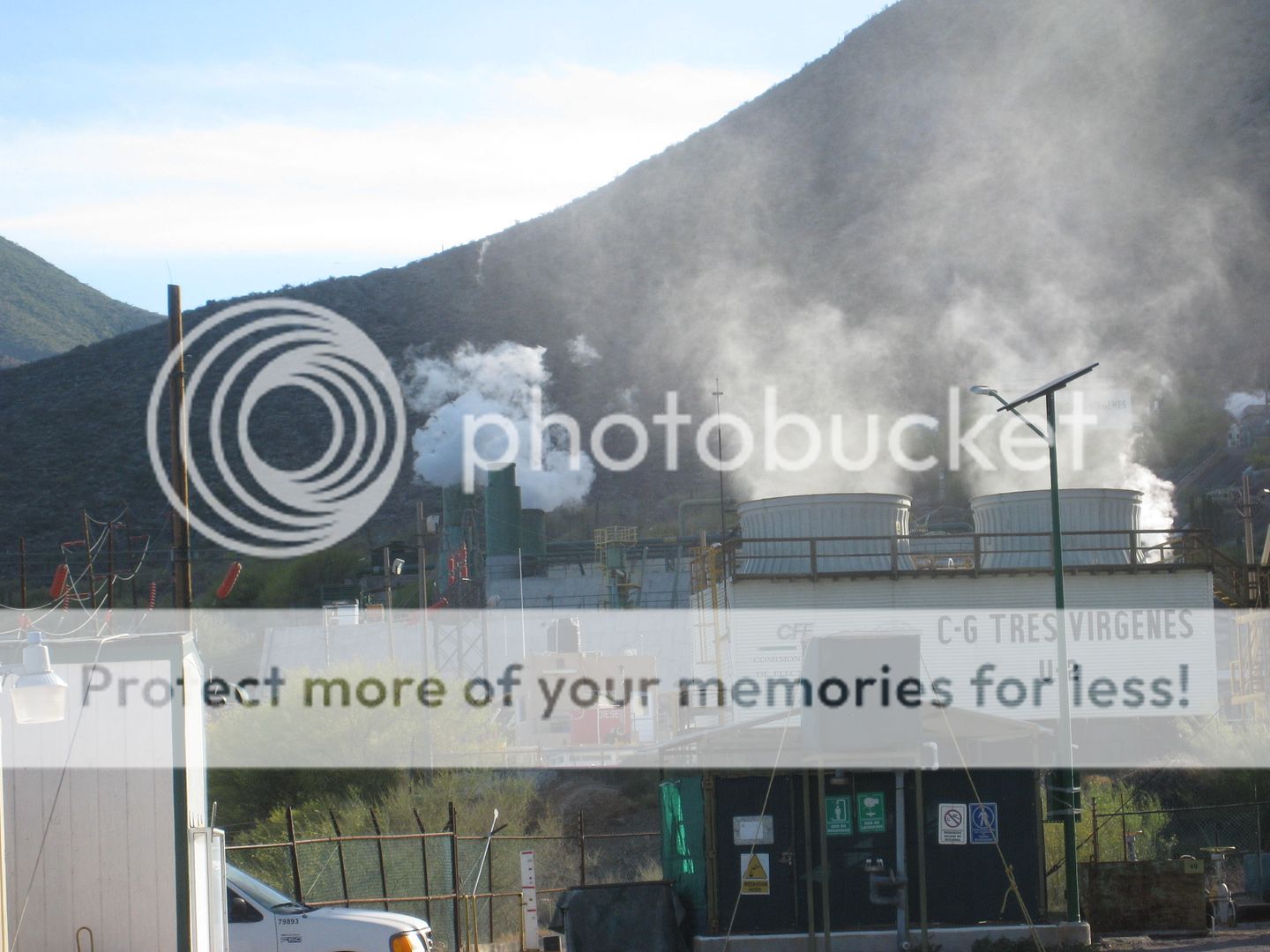
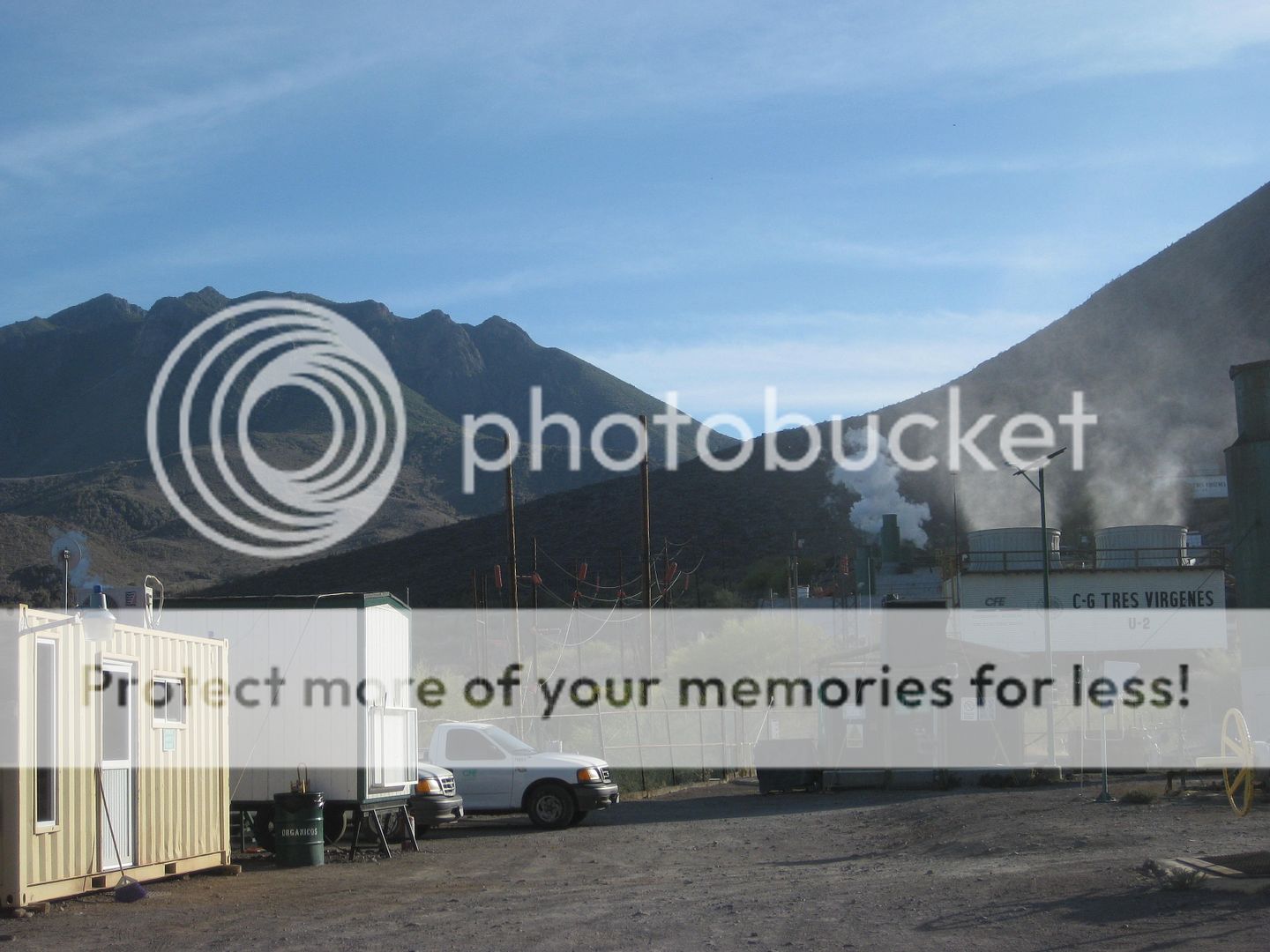
From there we headed north to the Tres Virgenes volcano power plant and eco-resort before arriving at San Ignacio for a night at the La Huerta Hotel,
where we had a great dinner! Cameron invited the owners of the ice cream shop to join us.
PHOTOS:
Playa Buenaventura
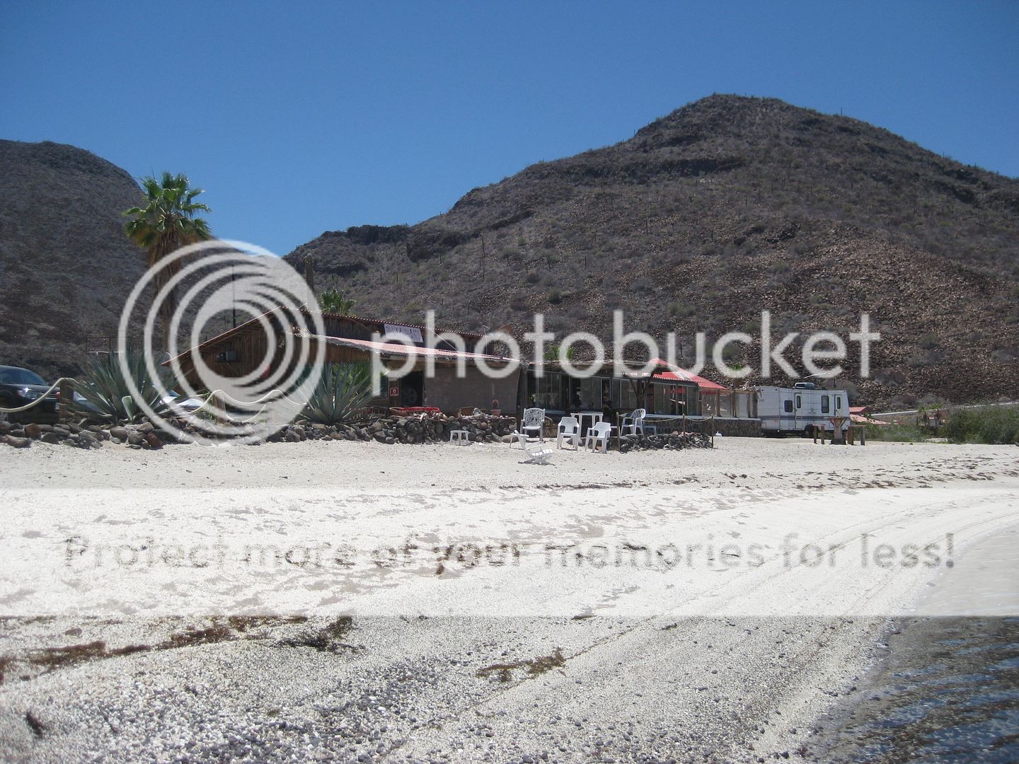
Mark & Olivia's
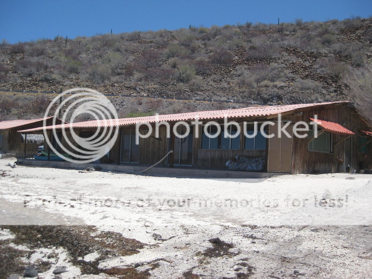
Rental rooms
Baja Nomad sticker
Mark chatting with Curt LeDuc.
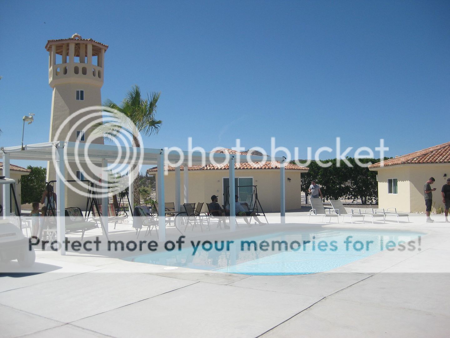
Playa Frambes Lighthouse Resort (Freshwater pool)
Bob and David K (note camera crew is in the lighthouse)
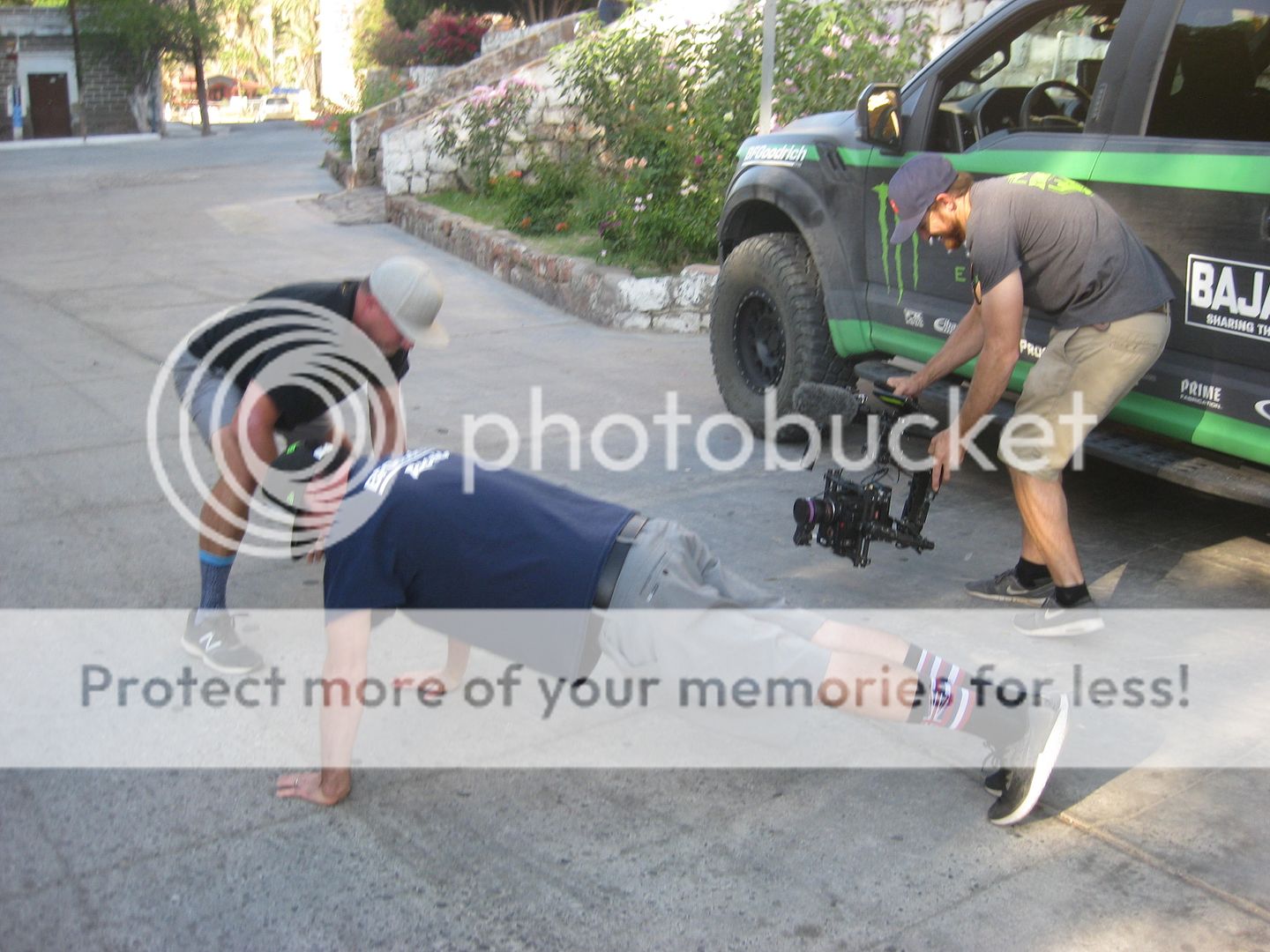
Pushup game they play if you say one of the forbidden words of the day.
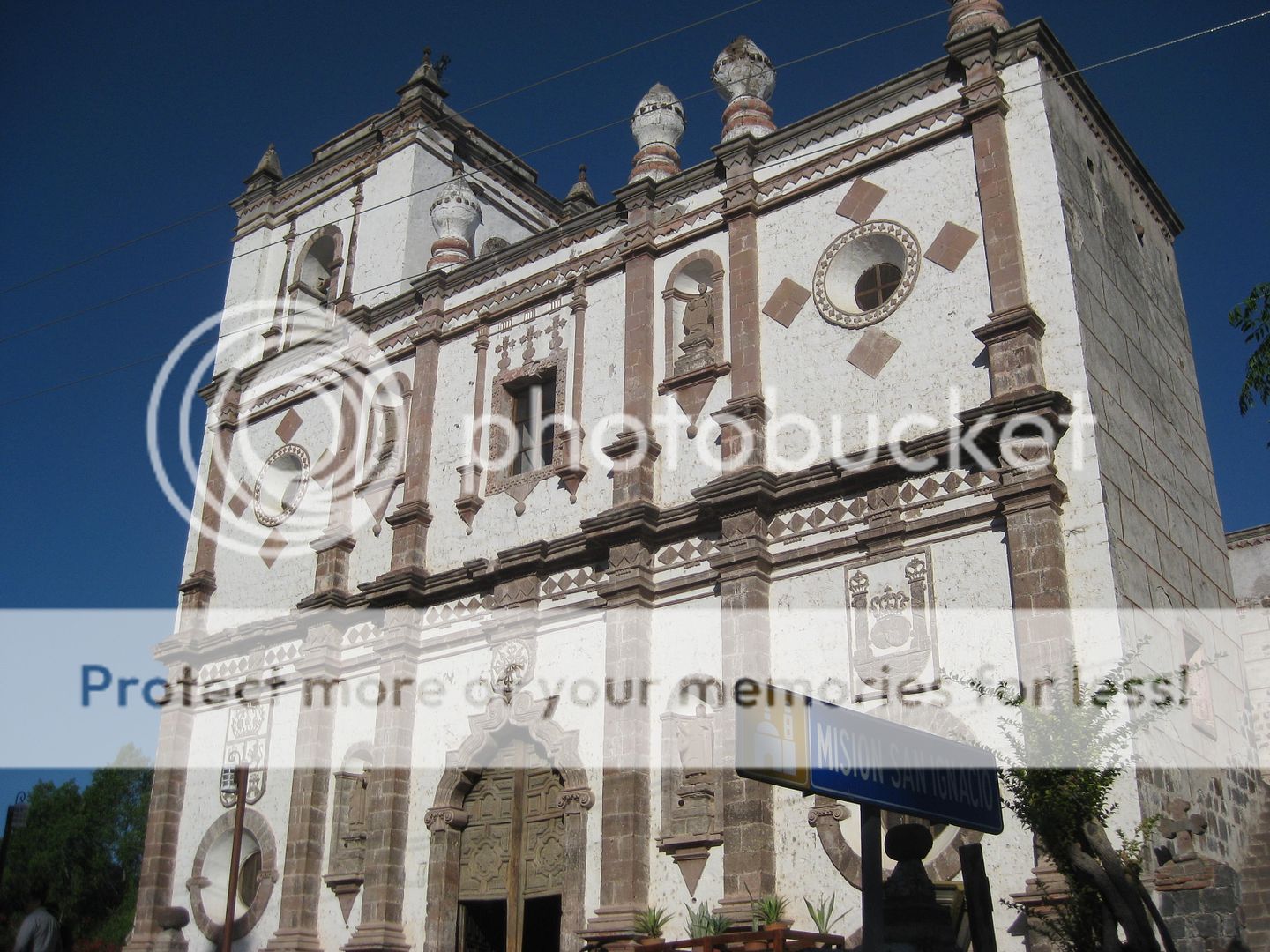
Back at Mission San Ignacio.
|
|
|
4x4abc
Ultra Nomad
Posts: 4163
Registered: 4-24-2009
Location: La Paz, BCS
Member Is Offline
Mood: happy - always
|
|
is the lighthouse real at Frambes?
Harald Pietschmann
|
|
|
mtgoat666
Select Nomad
Posts: 17292
Registered: 9-16-2006
Location: San Diego
Member Is Offline
Mood: Hot n spicy
|
|
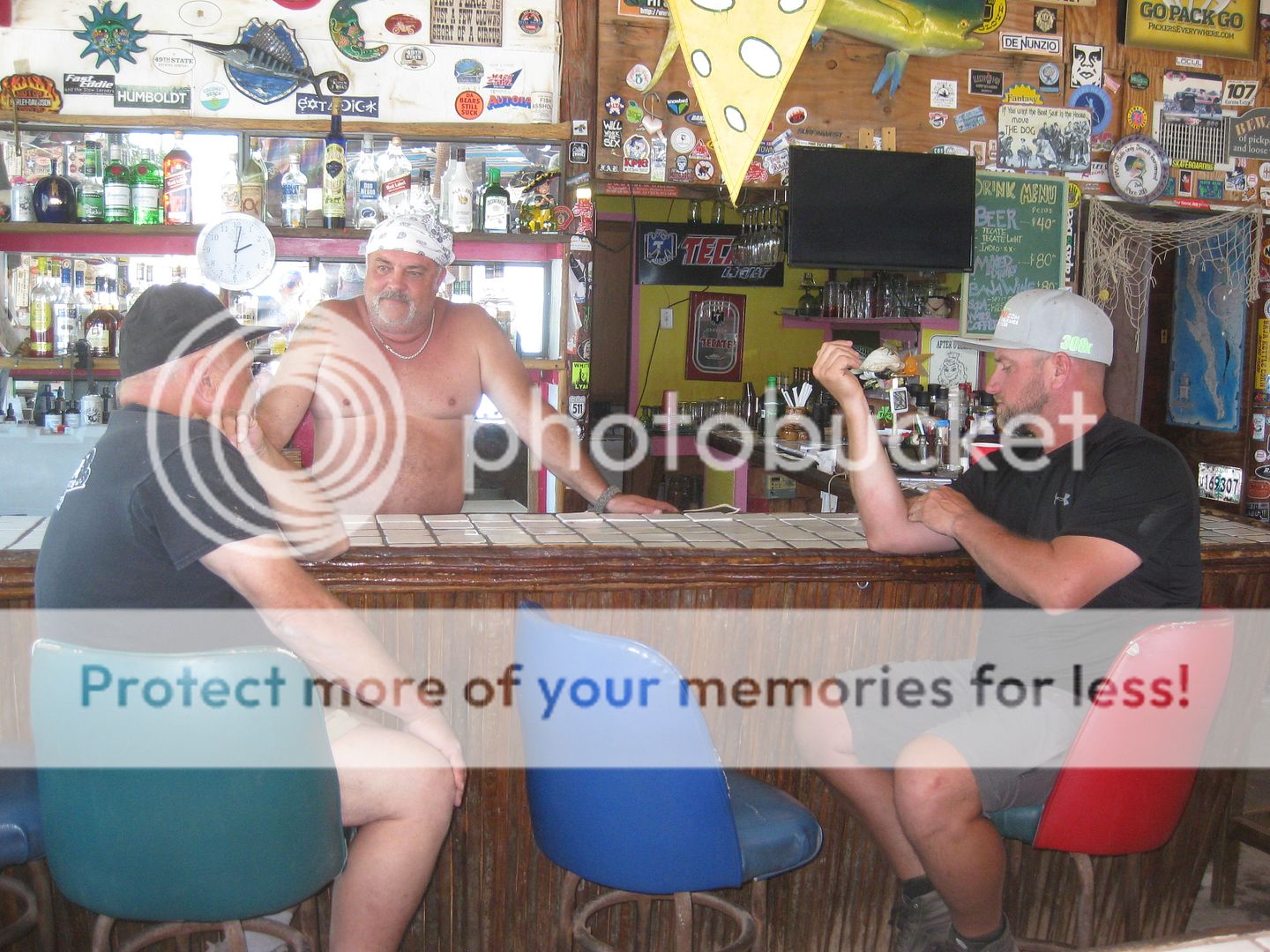
Good god, man! Put a flocking shirt on!
An obese half-naked bartender with beer belly and man boobs, the polar opposite of Hooters (or how to repulse the customers)... i suspect people that
would tolerate this bar service are the type that write bad reviews of Malarrimos
Turtle soup!
Woke!
“...ask not what your country can do for you – ask what you can do for your country.” “My fellow citizens of the world: ask not what America
will do for you, but what together we can do for the freedom of man.”
Prefered gender pronoun: the royal we
|
|
|
David K
Honored Nomad
Posts: 64479
Registered: 8-30-2002
Location: San Diego County
Member Is Offline
Mood: Have Baja Fever
|
|
It is one of the rooms for rent... Very popular. See their website www.mulege.org
|
|
|
David K
Honored Nomad
Posts: 64479
Registered: 8-30-2002
Location: San Diego County
Member Is Offline
Mood: Have Baja Fever
|
|
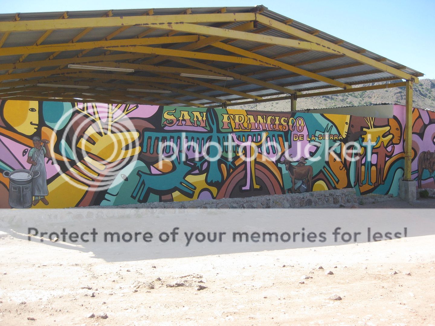
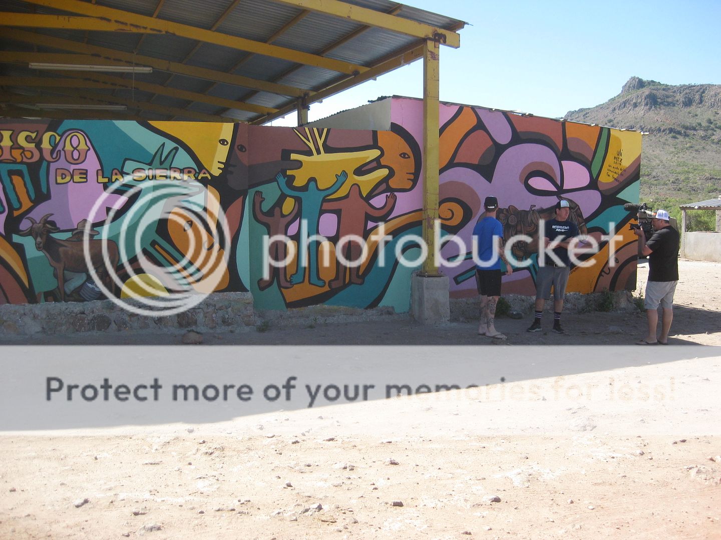
DAY 5: San Francisco de la Sierra and Visita de San Pablo
Breakfast at the La Huerta in San Ignacio was good and we were on our way north. I was the only one in the group to have gone up to San Francisco de
la Sierra, before.
As in 2017, the paved road begins at KM. 117.5 (16 miles south of Vizcaíno) and climbs steeply up to the top of the mountain, 22 miles to the
village. The paving ends 4 miles before the village, however. In 2017, the road surface was rough and rocky. Now, there is a layer of dirt over the
rocks making for much smoother driving.
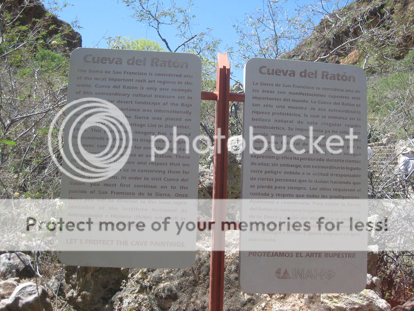
2.7 miles after the pavement ends is Cueva del Ratón. The pathway to it is behind a locked gate as you need to hire a guide. Just under a mile past
the cave, is the Hostel Buenaventura (bunk rooms, meals, and arrange to get guides and permits to see cave art here). 1 km. past the hostel is the
village of "Rancho San Francisco" or San Francisco de la Sierra.
We go to the village first (elevation 3,640'), take some photos, and find out about how to see the cave art... We are told to go to the hostel where
an INAH rep has a desk and can radio for guides to come.
We go there and find out the details, arrange for a guide, learn it is one guide for every 4 people, and 150 pesos per person for the permit, (I don't
remember how much for each guide). They also charge to use the toilet there. Several of the people in our group have lined up to sign in and began
paying for their permits, Cameron asked the lady taking the money, how much more for everyone and the lady said it was six hundred and some pesos for
the rest of the permits, guide cost, etc. and Cameron gave her 1000 pesos and told her to keep the change.
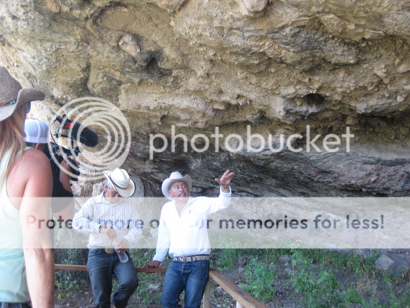
While we waited for our 4 guides to arrive, we made lunch at our trucks. When the guides showed up they got in the trucks with us and we drove to the
cave, 0.9 mile away. The guides were all Arce men (naturally) and none spoke English so I was asked to translate as I spoke more Spanish than anyone
else. It was all very interesting and we took photos of the art and the guides. When I name-dropped the three mule riding ladies I know, the Arce men
were all animated and gave me hugs and asked that I send greetings to them: Baja Bucko (Teddi), Trudi Angell, and Eve Ewing are the three I mentioned,
plus I am friends with Edie of the new book, The Mission Walker.
Cameron told the Arce men that he will be back in late June with 60 guests (Trail of Missions 2019) and that he would provide a feast for the whole
village, asked what kind of food would they like. He also asked if they would like him to bring them anything. Two of the men asked for small tents so
that when they take people down into the canyons on mules, they wouldn't have to sleep in the open. Cameron asked that they not tell the villagers
about the feast so it would be a surprise.
One of the trucks returned the Arce men back to the hostel while we headed down the mountain. Approaching one of the ranches passed before dropping
down the mountain, a man was by the highway, a hatchet in one hand and a walkie talkie in the other, waving his arms.
It seems that the INAH rep wasn't happy with the money she charged us, or the extra Cameron gave her and demanded 350 more pesos! She radioed that
rancher to stop us and get more money. LOL. We gave him 350 pesos and just had to roll our eyes. She also knew there was a group of 60 coming in a
month thanks to Cameron... 
Here are the San Francisco photos:
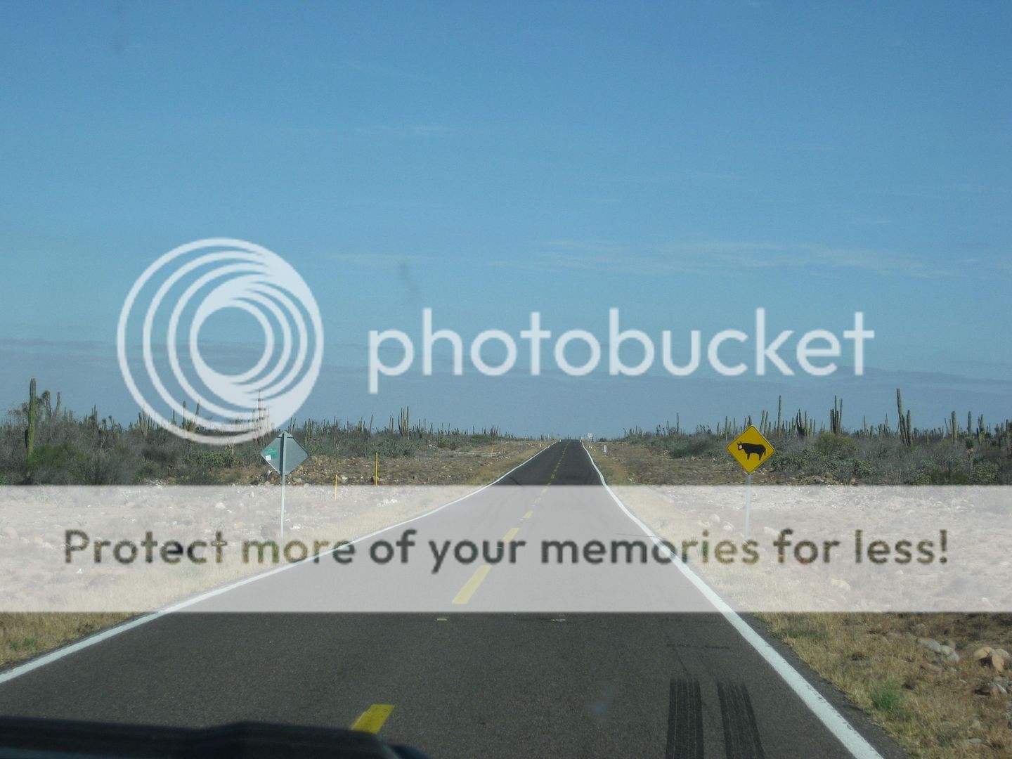
Highway One north of San Ignacio.
Old church at San Francisco.
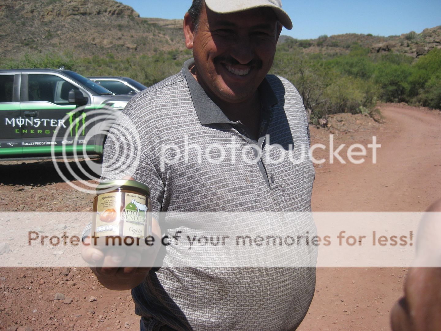
The man at the hostel was selling a candy made from goat cheese. Curt LeDuc bought a jar.

Oscar Arce (in the white shirt) was the lead guide.
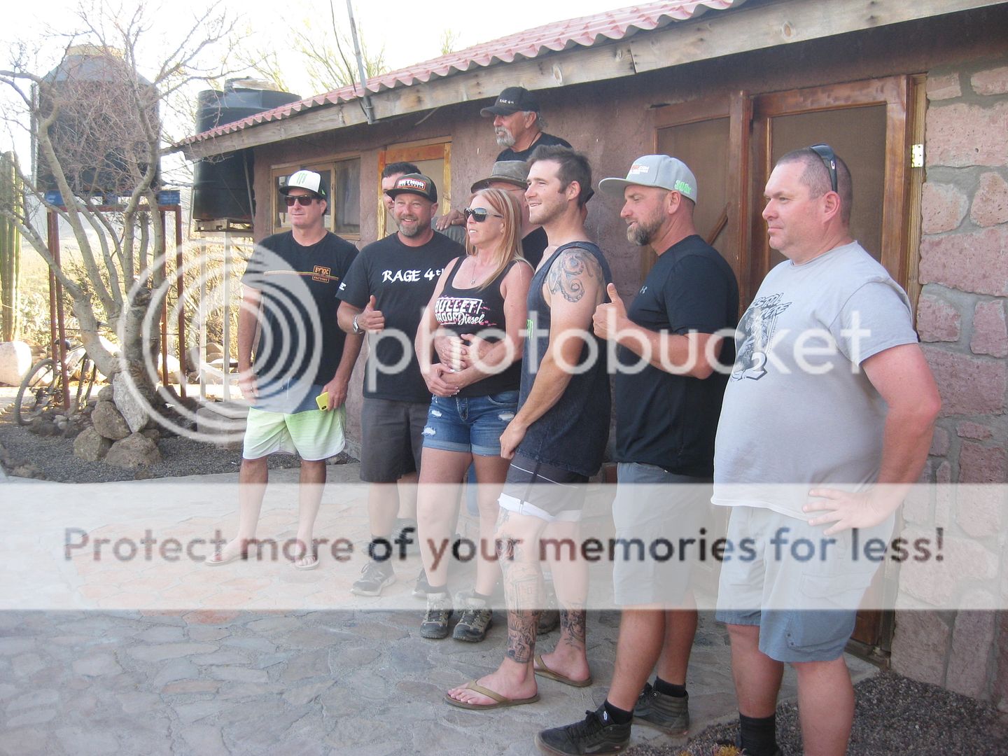
L to R: Jason Scherer, Curt LeDuc, Cameron Steele, Ángel Arce Arce, Oscar Arce Arce, David Kier, and Filiberto Arce Ojeda.
[Edited on 5-23-2019 by David K]
|
|
|
David K
Honored Nomad
Posts: 64479
Registered: 8-30-2002
Location: San Diego County
Member Is Offline
Mood: Have Baja Fever
|
|
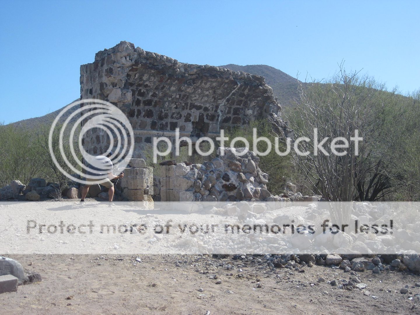
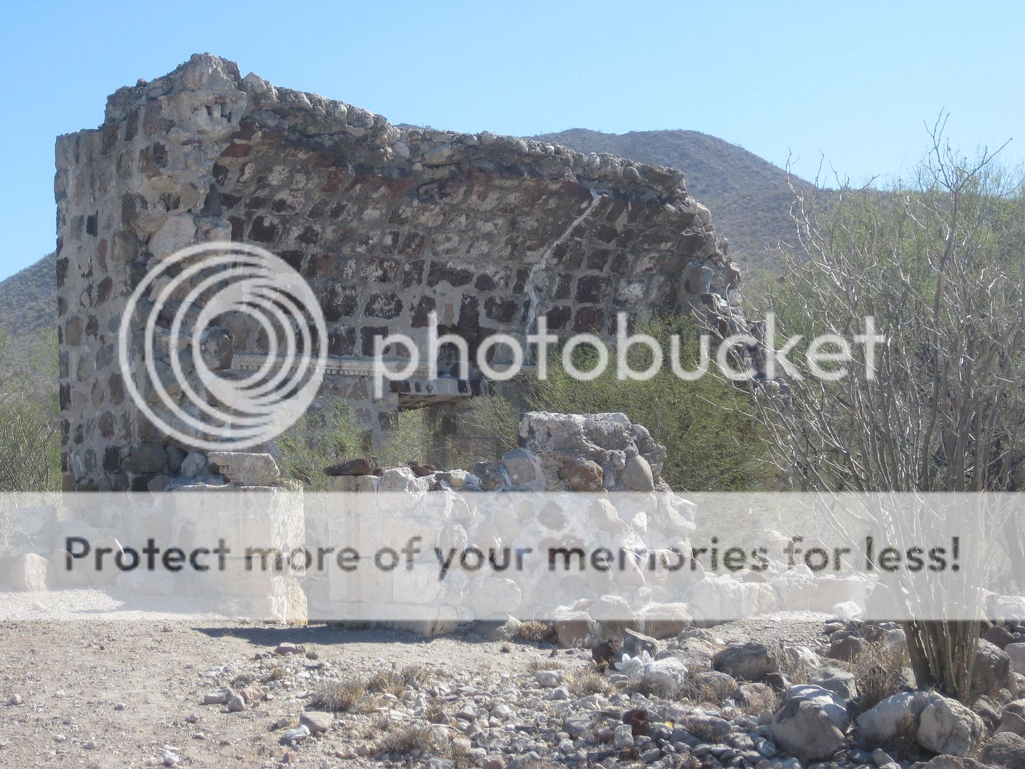
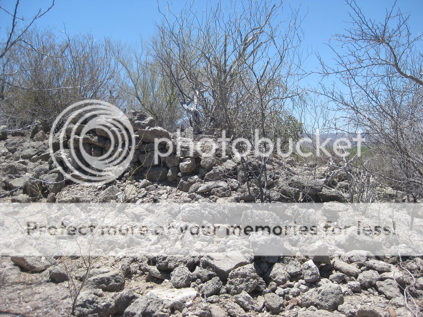
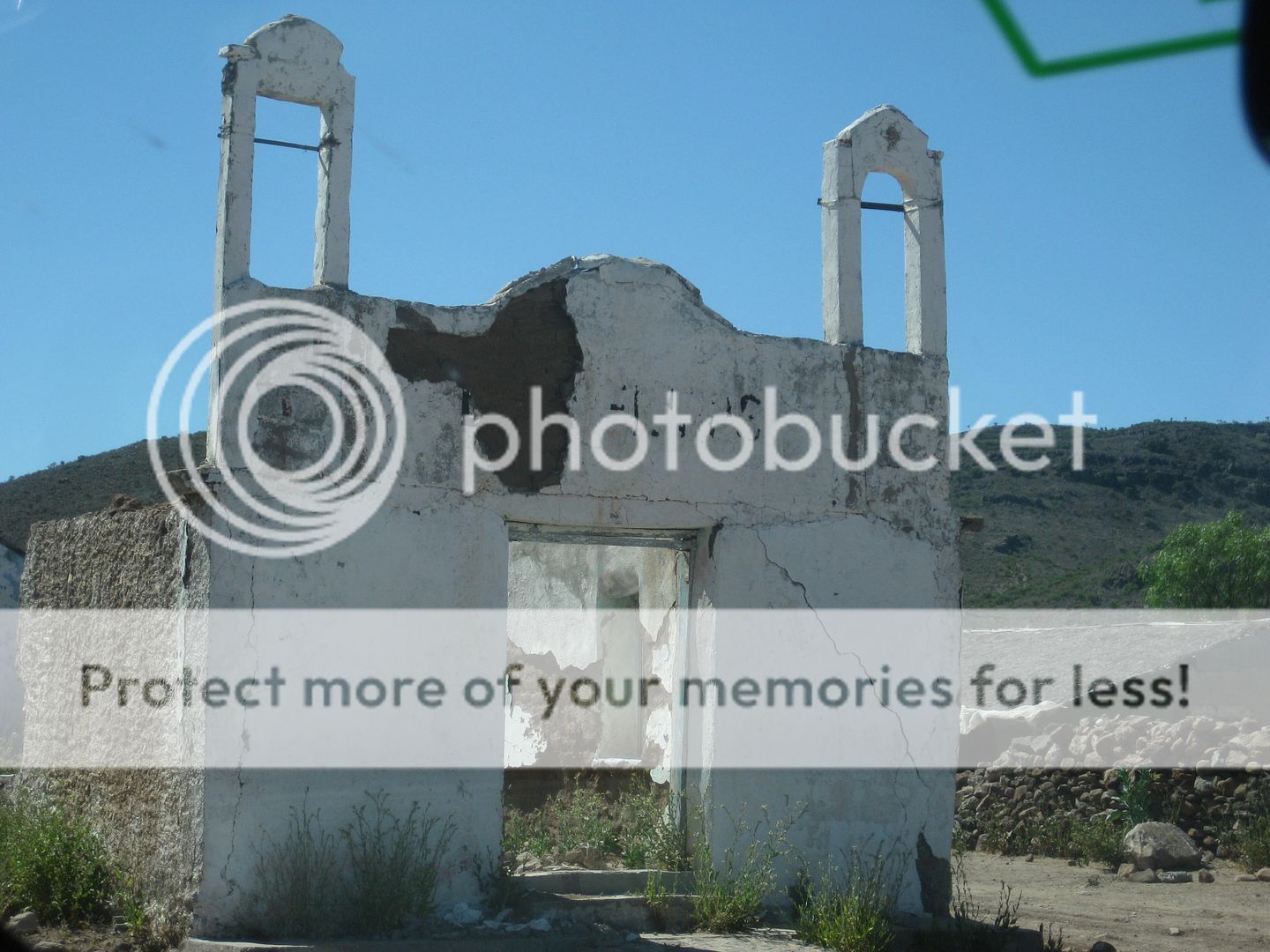
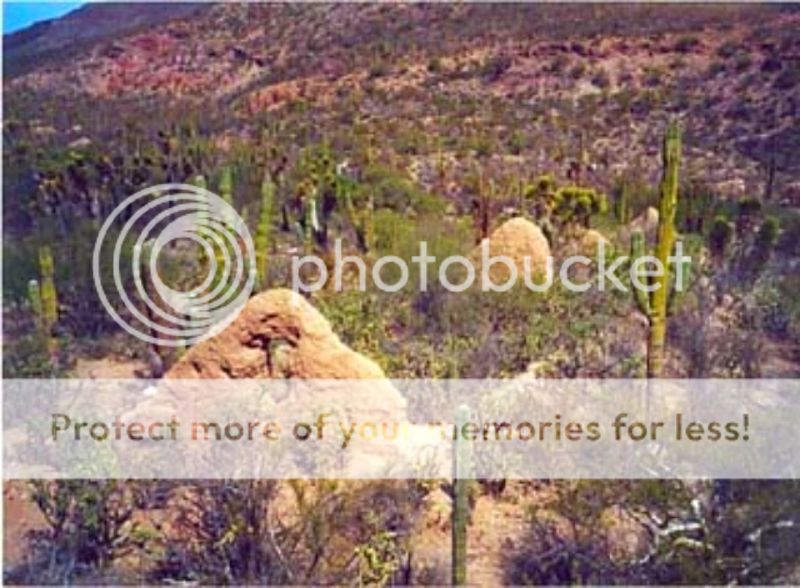
Visita de San Pablo
The Visita de San Pablo is one of the mission sites I have not been to before. I tried in 2017 only to find a locked gate just as I entered San Pablo
Canyon.
Nomad's have been there, XRPhil in 2010 (whose photo I used in my book) and Kevin (Baja Okie) about 10 years earlier. I have historic photos from 1949
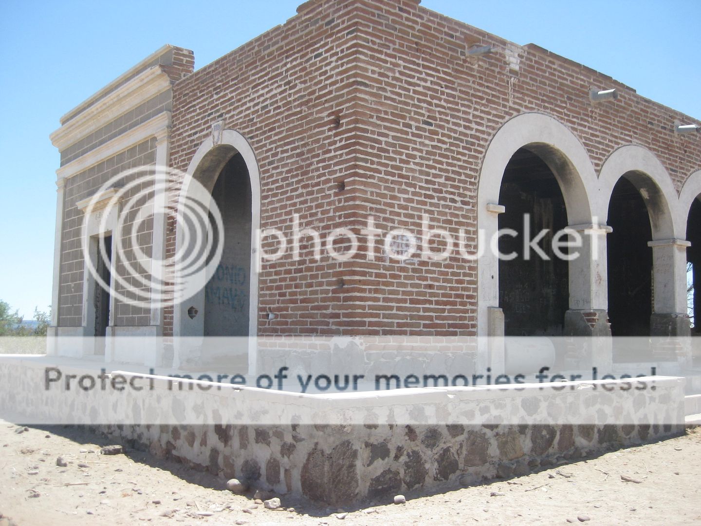
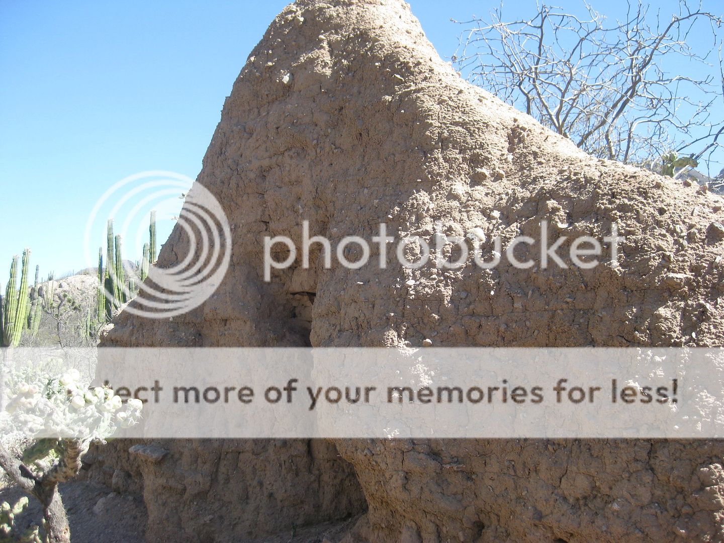
and the 1920s, as well. The visita building looks a lot like Mission Santa María in style and made of adobe bricks upon stone. Some (even INAH) have
mistaken this ruin as a mission and even called it Dolores del Norte, a mission that only existed on paper and whose name was changed to Santa
Gertrudis upon being founded in 1752. San Pablo was probably attached to Santa Gertrudis but being midway from San Ignacio, it is possible that Padre
Consag of San Ignacio was involved here?
In my TRIP #5 report from June 2017, I detailed the road from Hwy. 1 to the locked gate, which is south of Prosperidad, the big brick building from
1916, made by the Boleo copper mining company, near Guillermo Prieto.
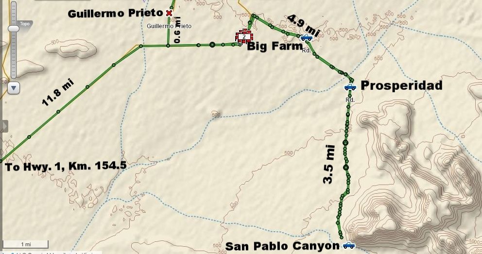
Driving south on Monday, we stopped at the Vizcaino auto parts place (by the bank) where Curt LeDuc knew the owner and he knows the town's people. We
asked about a guide to take us there. One of his customers at the counter pulled out his phone and showed us San Pablo visita photos he had recently
taken... We had our guide! He has access to the gate key so we told him we would be back on Thursday. His automotive shop is next to the Hotel del
Sol/ Hotel Martitha (they are either one and the same or one is right behind the other. Both signs are on the front).

The road from the locked gate to the ruins is 8 miles long, it is very rough and slow driving. A goat ranch is midway in.
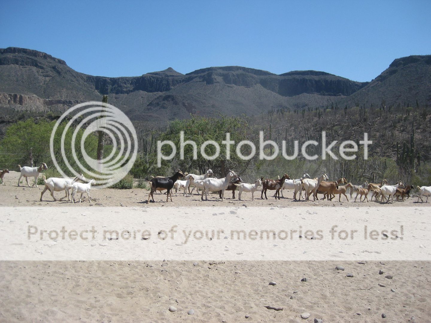
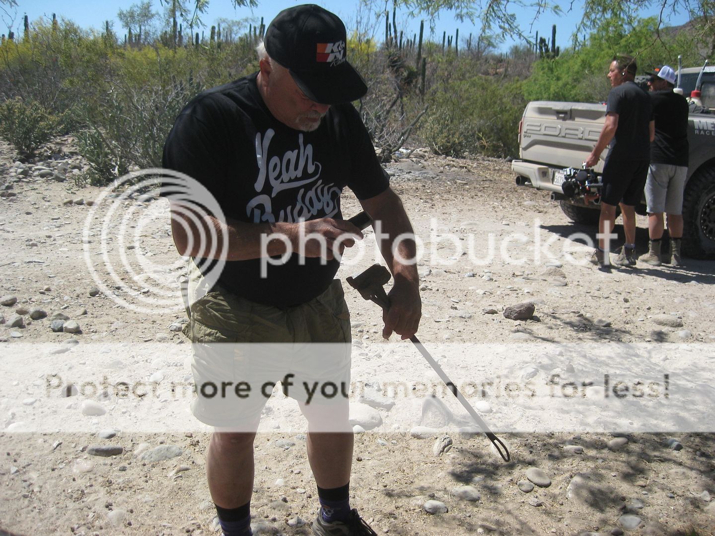
We stop to visit with the rancher. Curt LeDuc checks out the branding irons hanging in the tree.
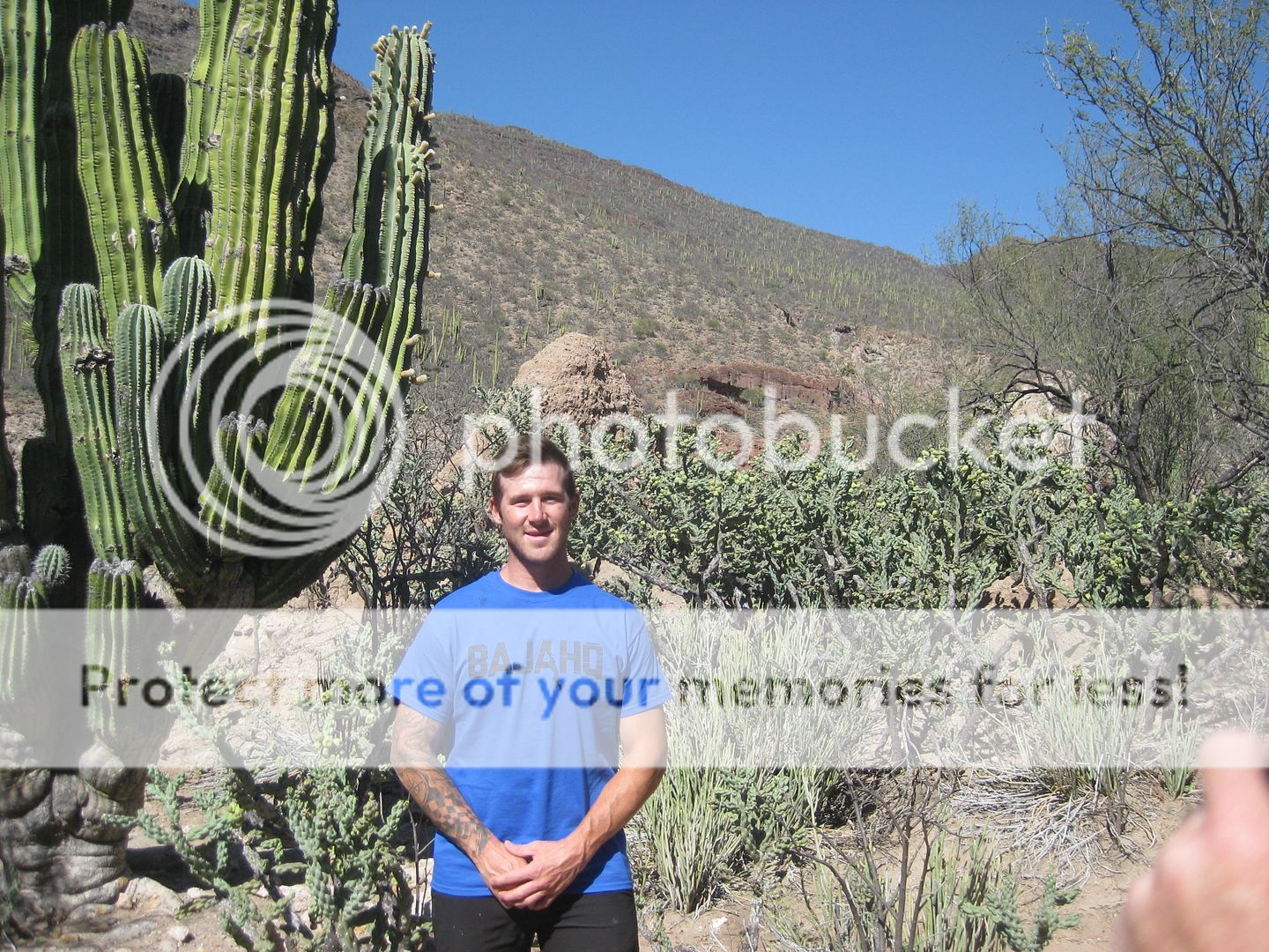
The road comes right to the front door of the visita.
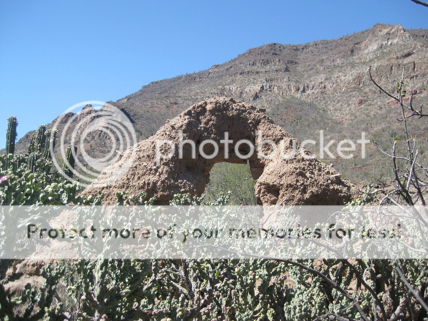
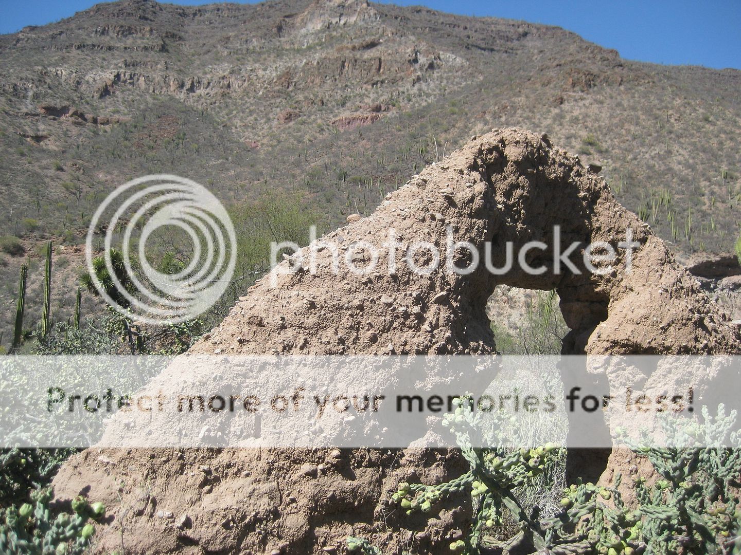
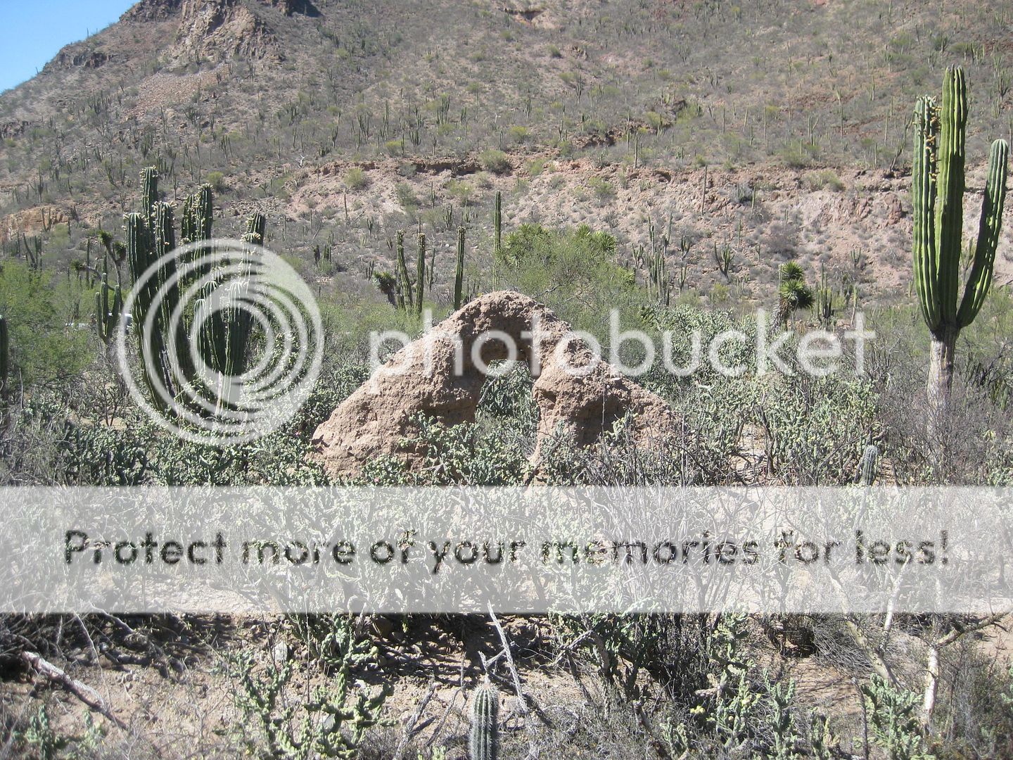
Cholla cactus is covering much of the adobe slump.
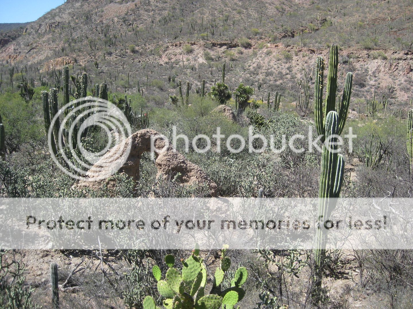
2019 (Kier)
A trail (El Camino Real?) climbs a slope offering this popular photography location. Here are other's pics in the past:
2010 (Lang):
1998 (Clough):
1949 (McDonald):
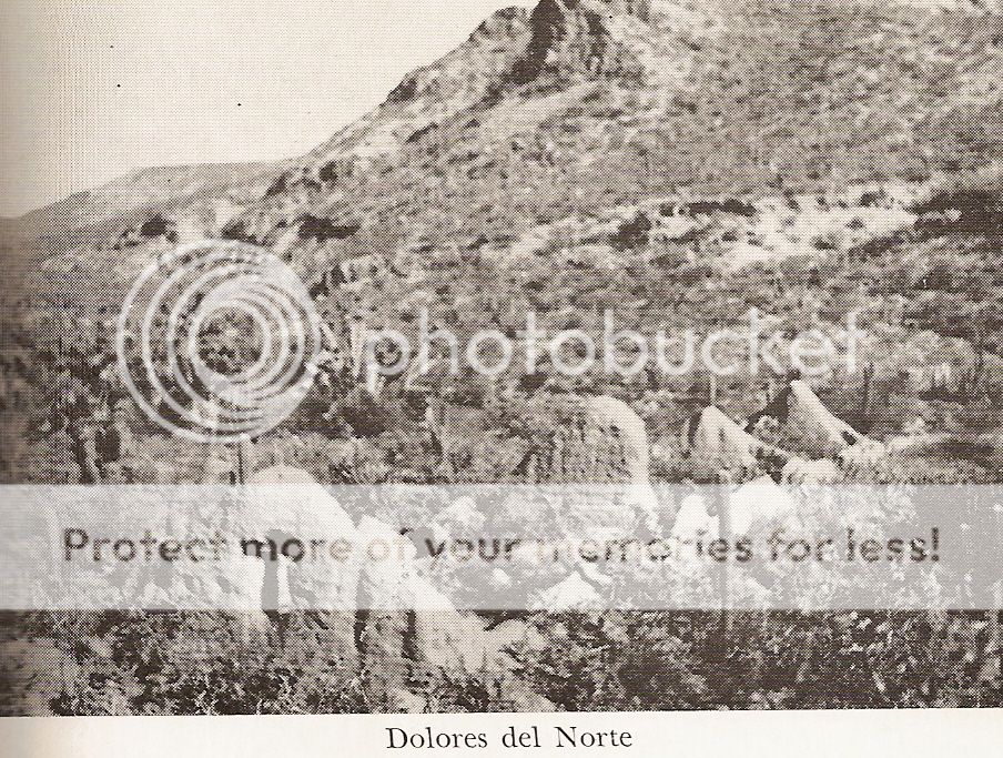
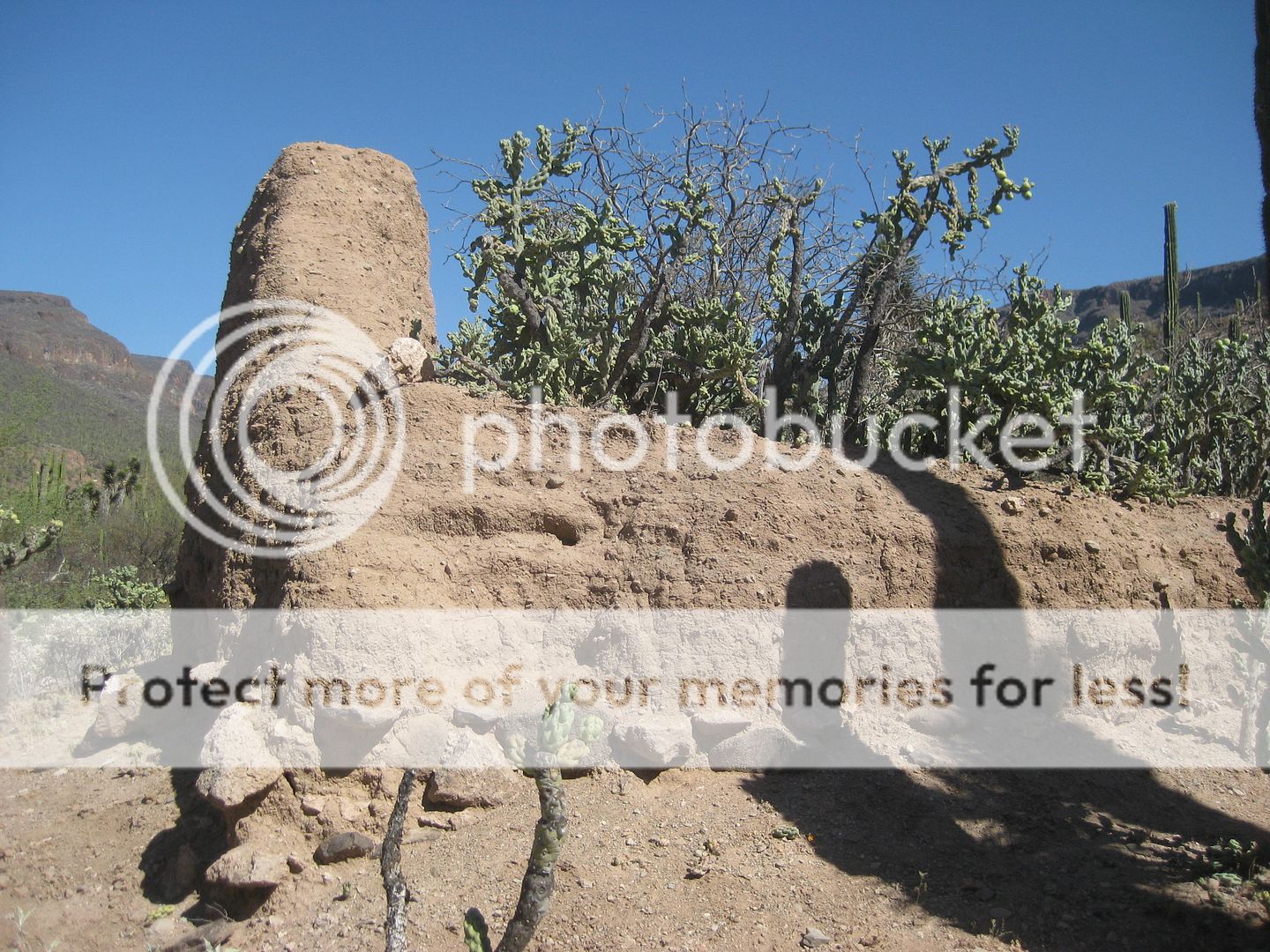
Adobe mission-era structures are built upon a stone wall base, foundation.
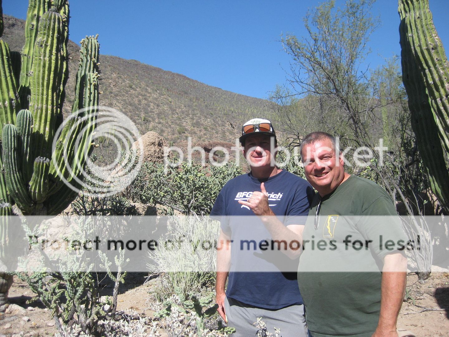
Cameron Steele and I. He won last year's Baja 1000 and is prerunning the 500 this week. Nice to go from slow 4x4 trails and history searching to
racing the same month, eh?
Ricky Brabec, a top off-road m/c racer. [and future first American DAKAR champion]
A large corral just past the visita.
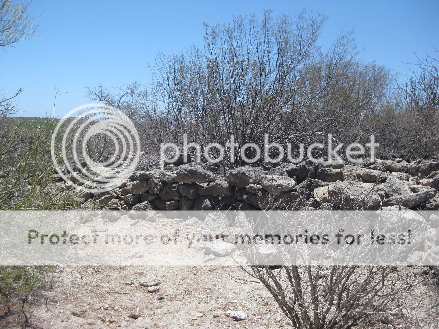
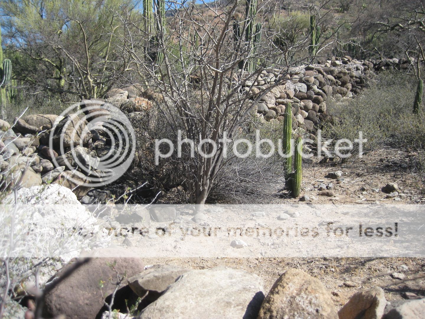
Rock wall road construction near the goat ranch.
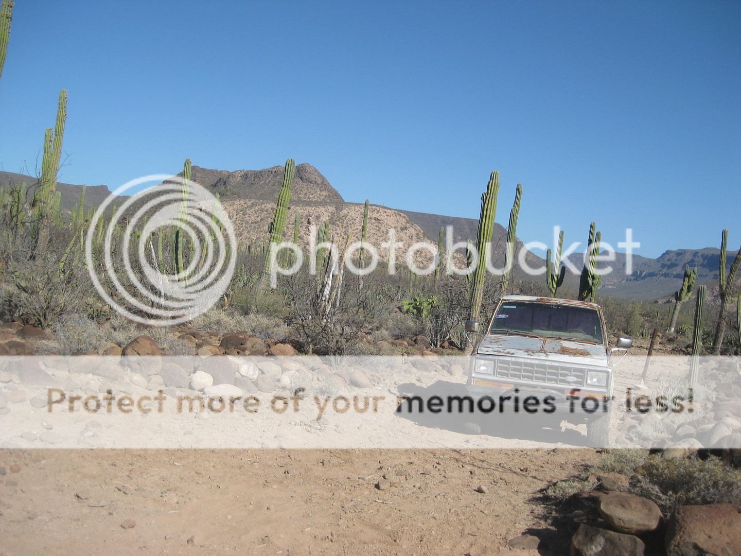
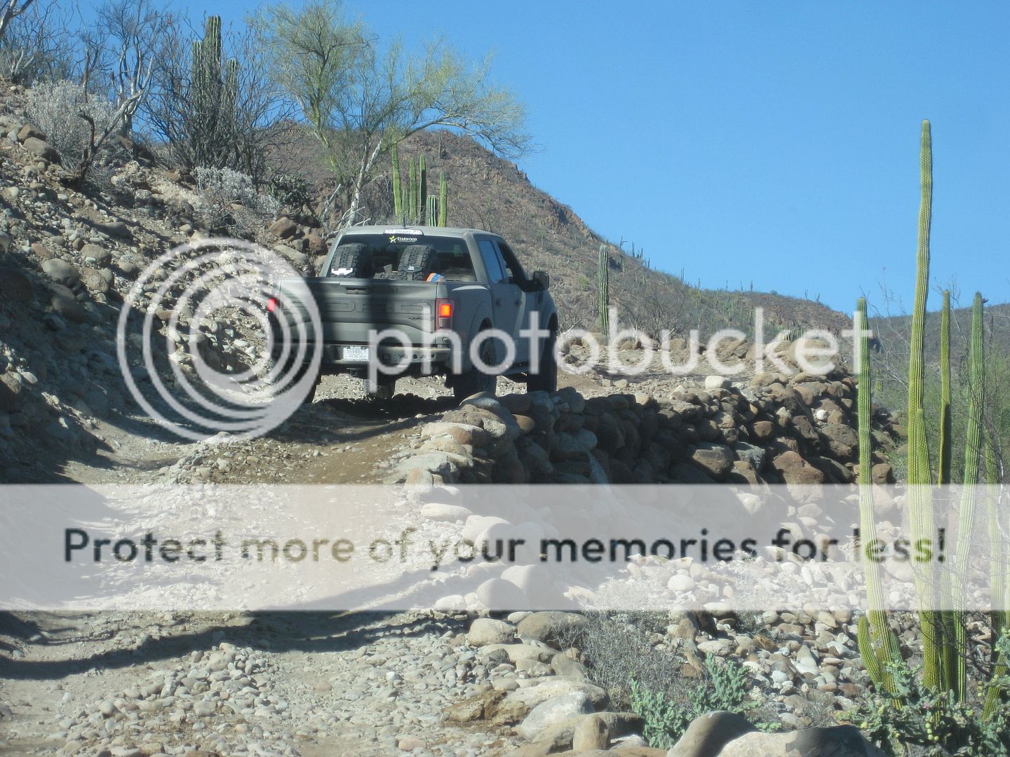
This dead Ford Ranger is parked on the Camino Real, the road detours down to the arroyo and goat ranch here and comes back up to the Camino Real route
beyond. In many places in Baja, new auto roads are made right on top of the mission roads of the 1700s. The Camino Real was not quite as wide as a
single lane dirt road.
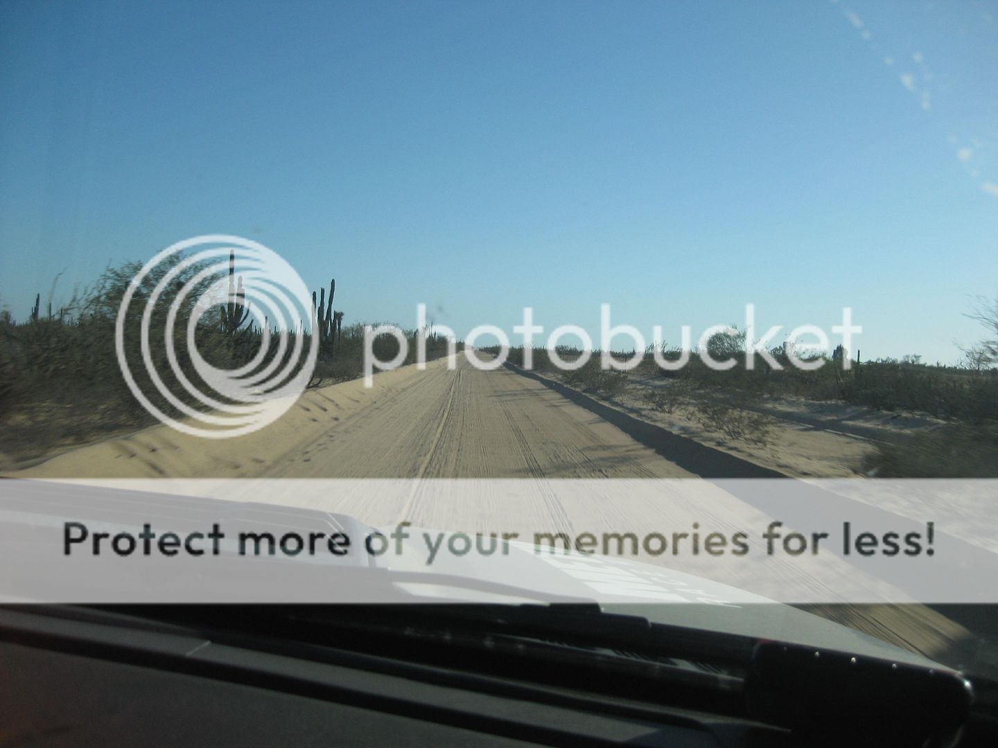
The Guillermo Prieto road off Hwy. 1 is excellent and we all easily cruised over 100 mph here. The Ford Raptors were pretty nice.
We arrived at Guerrero Negro and got our rooms. Dinner was good, I had the breaded sea bass plate and a shrimp c-cktail.
[Edited on 1-26-2020 by David K]
|
|
|
| Pages:
1
2
3
4
5 |
|


