| Pages:
1
2
3
4
5 |
PaulW
Ultra Nomad

Posts: 3005
Registered: 5-21-2013
Member Is Offline
|
|
Ah- yes.
The track is faint near the first Y. Keep right and pick up the trail again. The goal is to take the way closest to the hills on the Matomi side.
|
|
|
PaulW
Ultra Nomad
Posts: 3005
Registered: 5-21-2013
Member Is Offline
|
|
Of course the use of a GPS solves these kind of issues
Attachment: Matomi Arch.gpx (221kB)
This file has been downloaded 173 times
Attachment: Matomi Arch.kml (90kB)
This file has been downloaded 163 times
|
|
|
4x4abc
Ultra Nomad
Posts: 4163
Registered: 4-24-2009
Location: La Paz, BCS
Member Is Offline
Mood: happy - always
|
|
is that track also available on the Relive site?
Harald Pietschmann
|
|
|
PaulW
Ultra Nomad
Posts: 3005
Registered: 5-21-2013
Member Is Offline
|
|
Not a Relive person I do not know it they have a downloadable track.
My track I posted is accurate for the arroyos and the way to the arch.
|
|
|
David K
Honored Nomad
Posts: 64479
Registered: 8-30-2002
Location: San Diego County
Member Is Offline
Mood: Have Baja Fever
|
|
May 7, 2021: Exploring
Here is Wornout's notice:
Friday we will meet at the tires, at 9:00 am and head west to the highlands. From there we will head to the chalk quarry and then drop into the
arroyo that will take us to the dry falls. From there back out to the highlands highway and head to the powerline. Next head north and explore the
arroyos that run west from the powerline.
Relive Moving Map: https://www.relive.cc/view/vQvxB9g8k96
|
|
|
StuckSucks
Super Nomad
Posts: 2305
Registered: 10-17-2013
Member Is Offline
|
|
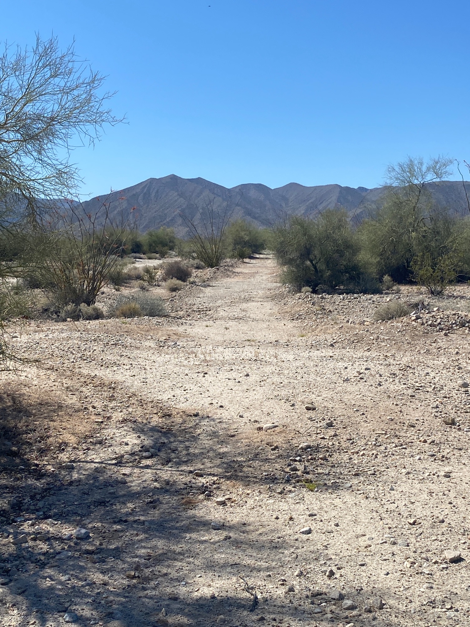
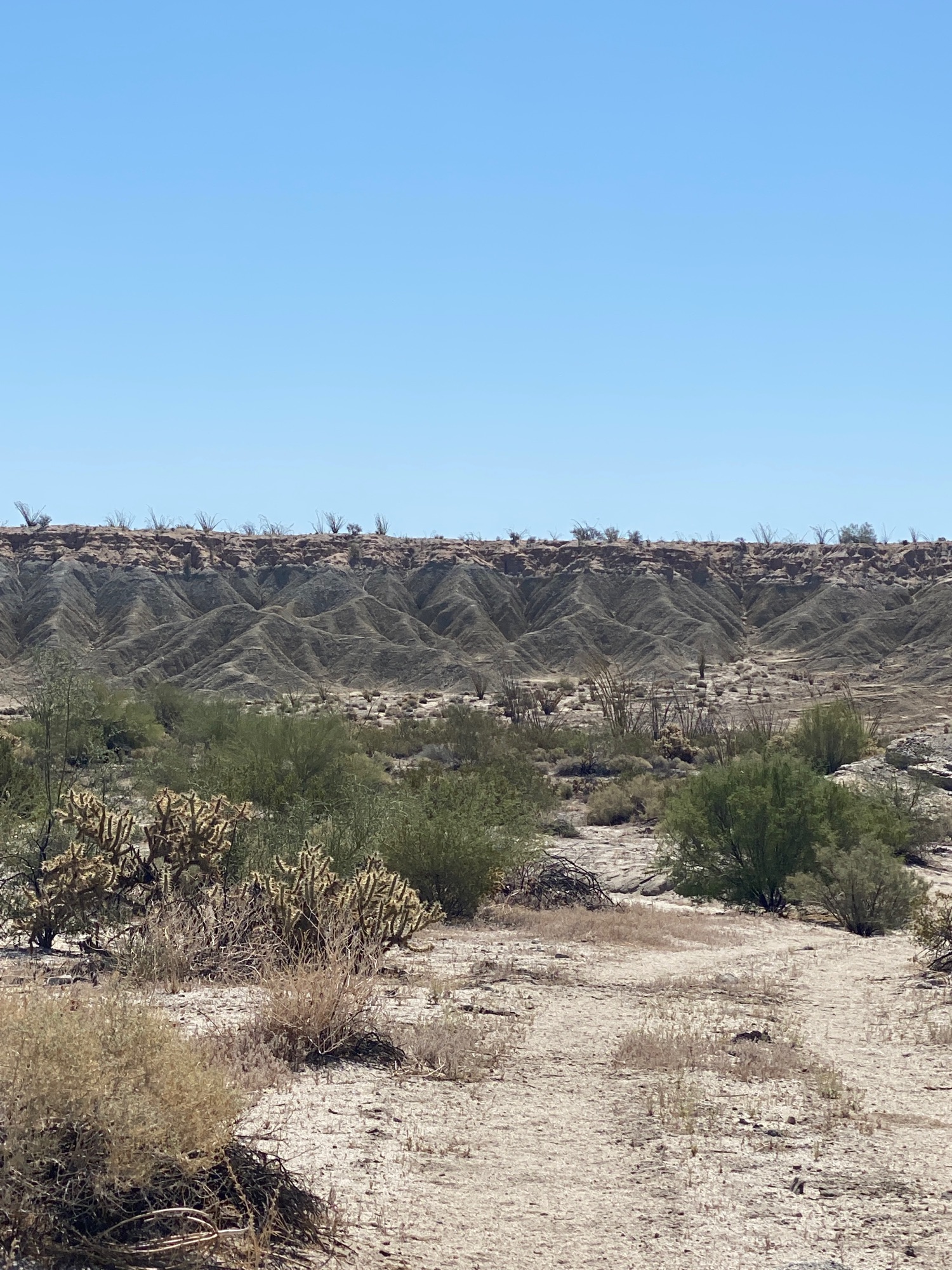
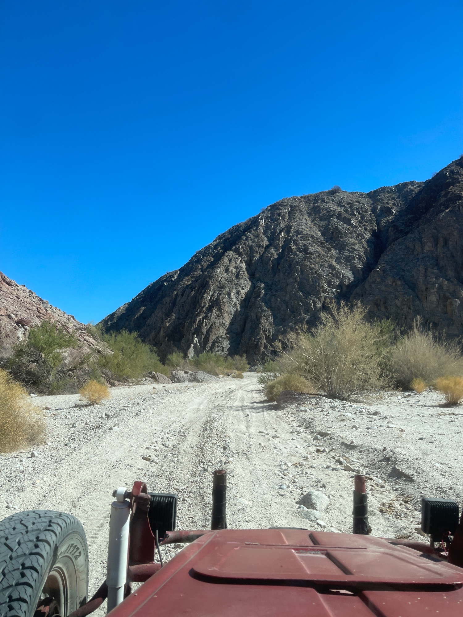
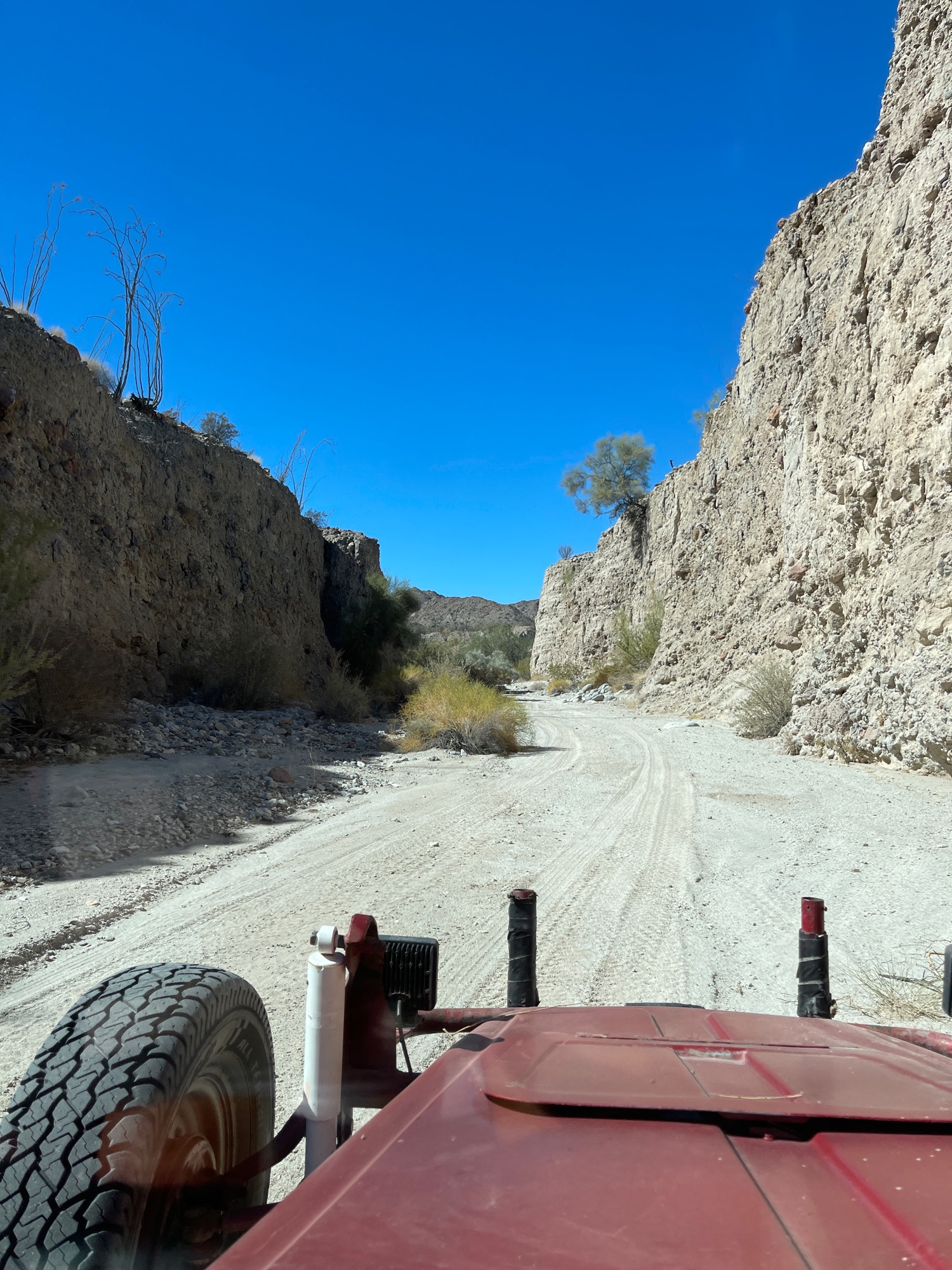
While trying to find my way to the arch, I ran into some hail -- eventually the ground was mostly white.
|
|
|
StuckSucks
Super Nomad
Posts: 2305
Registered: 10-17-2013
Member Is Offline
|
|
Your file would have been handy. I had the location of the arch marked on my GPS, but did not have a route. At the Y where you head right/south -- I
went that way shortly, but backtracked for something headed more west, closer to the mountains.
Oh well, next time. Thanks for the track!
|
|
|
David K
Honored Nomad
Posts: 64479
Registered: 8-30-2002
Location: San Diego County
Member Is Offline
Mood: Have Baja Fever
|
|
May 28, a short day trip: Desert Tour
See the moving map and photos: https://www.relive.cc/view/vNOPrGyDDYq
|
|
|
David K
Honored Nomad
Posts: 64479
Registered: 8-30-2002
Location: San Diego County
Member Is Offline
Mood: Have Baja Fever
|
|
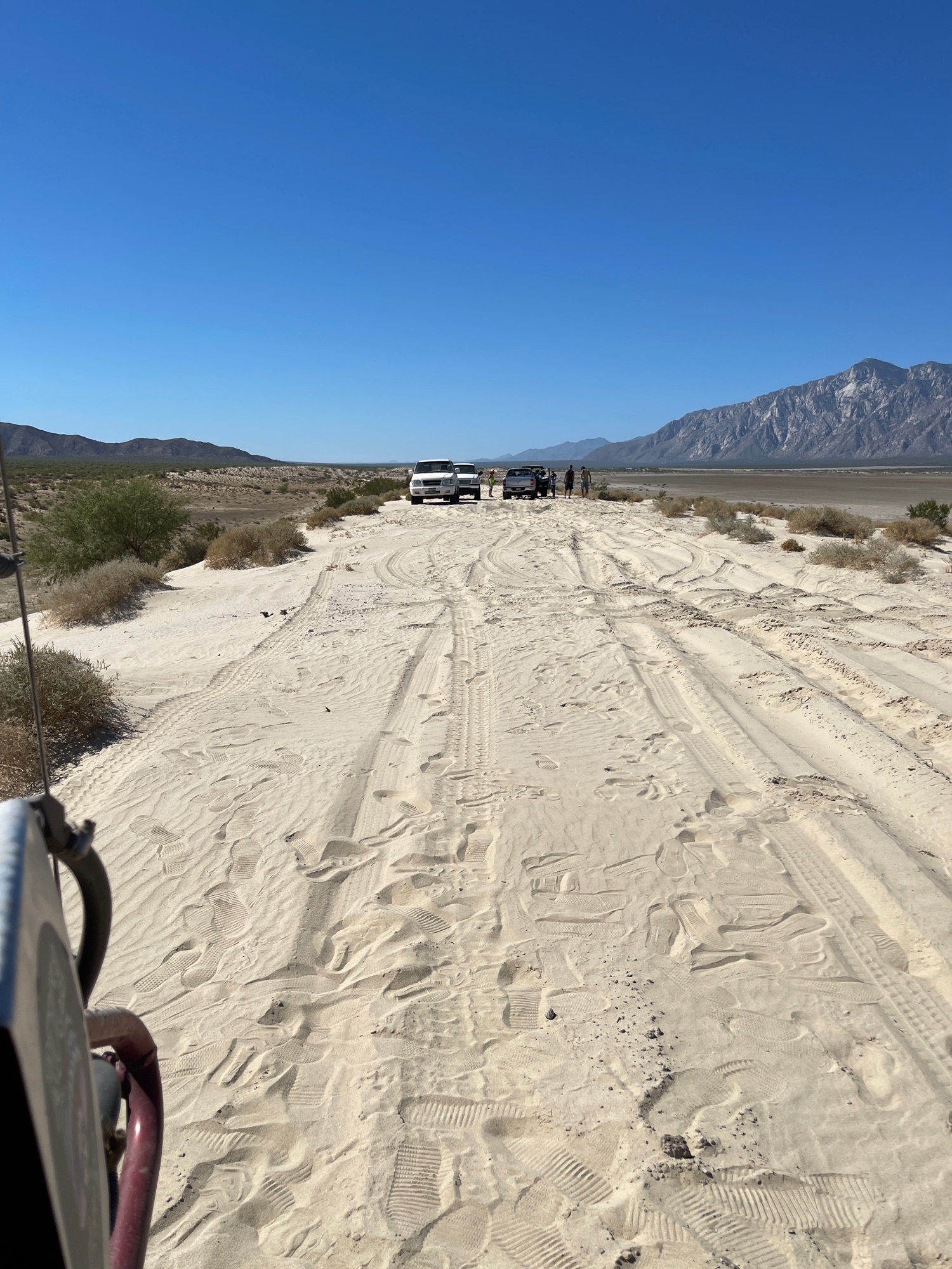
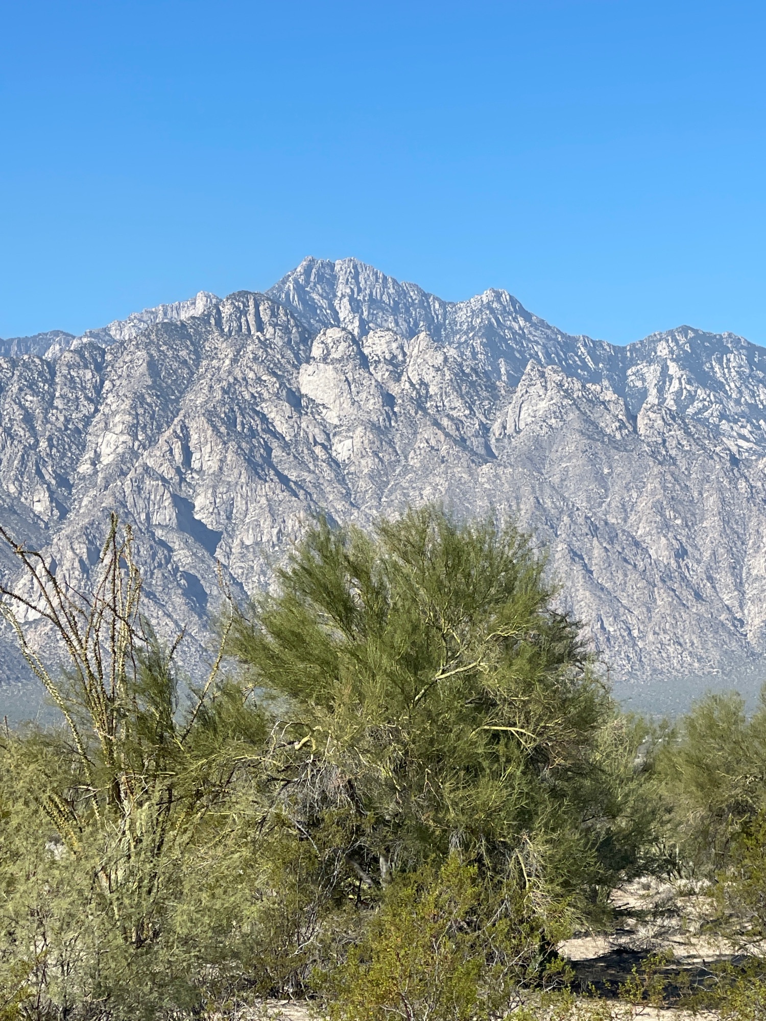
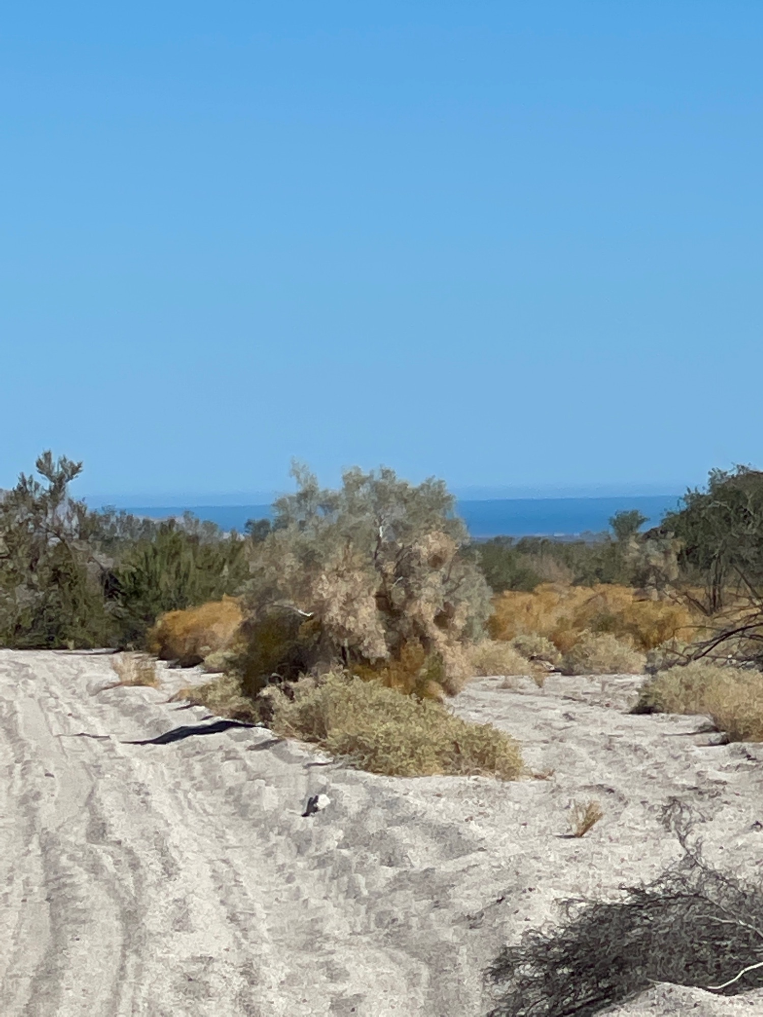
Aug. 2, 2021 Looking for Lithium Drilling (Diablo Dry Lake)
Just when you thought it was too hot for a desert run!
Relive movie map: https://www.relive.cc/view/v8qkkdmdLKq
Some photos:
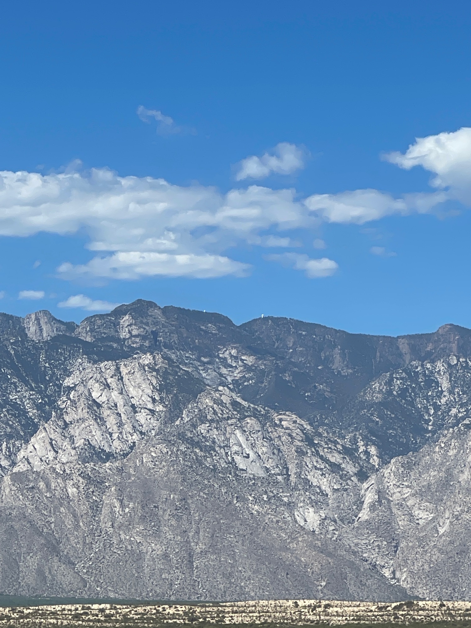
See the observatories at 9,280 ft.?
|
|
|
David K
Honored Nomad
Posts: 64479
Registered: 8-30-2002
Location: San Diego County
Member Is Offline
Mood: Have Baja Fever
|
|
Ride up the beach to Pete's Camp Aug. 28, 2021
Movie map: https://www.relive.cc/view/vevYx3p8Ryq
|
|
|
PaulW
Ultra Nomad
Posts: 3005
Registered: 5-21-2013
Member Is Offline
|
|
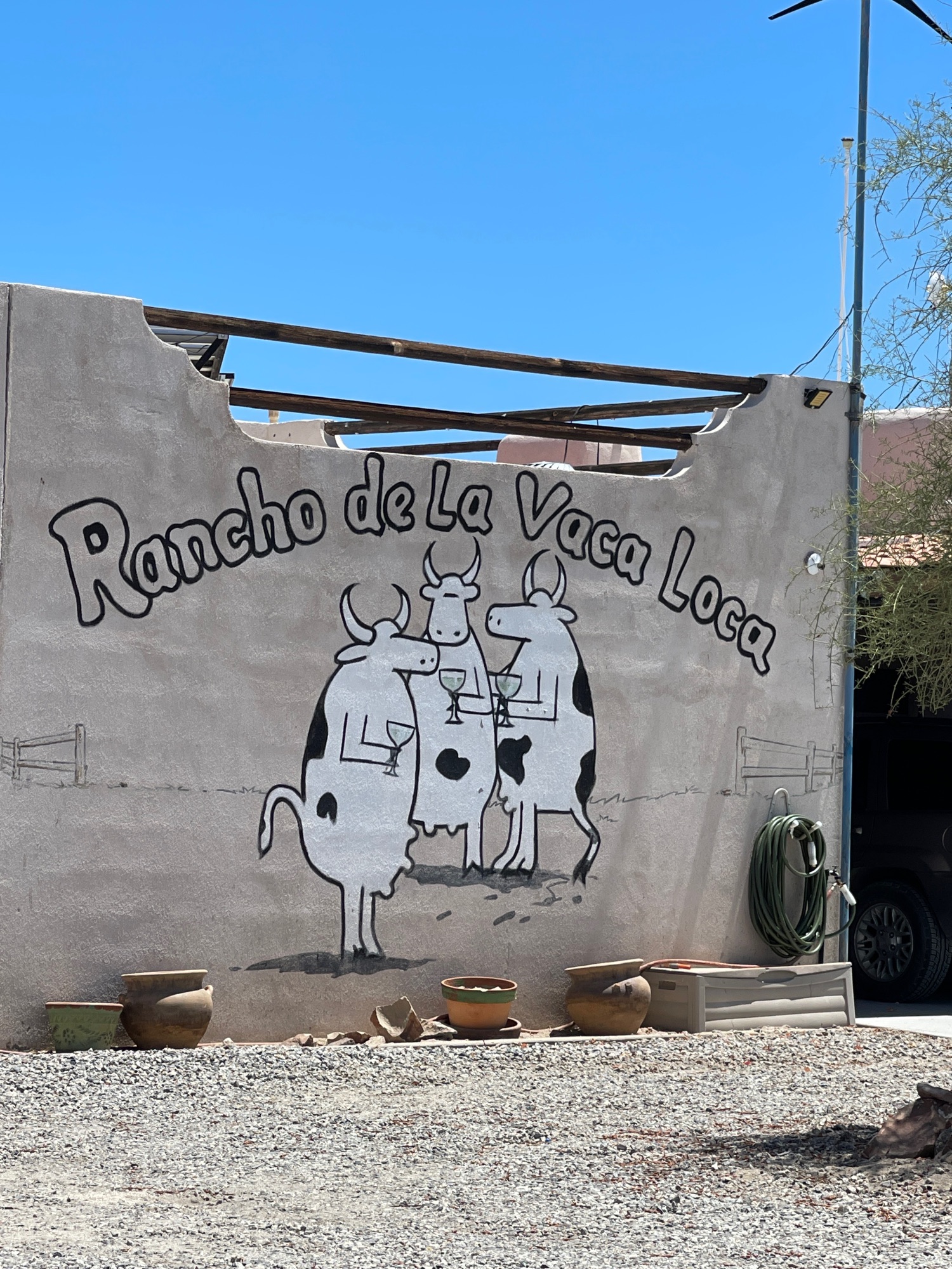
Memories of our long beach walks.
|
|
|
David K
Honored Nomad
Posts: 64479
Registered: 8-30-2002
Location: San Diego County
Member Is Offline
Mood: Have Baja Fever
|
|
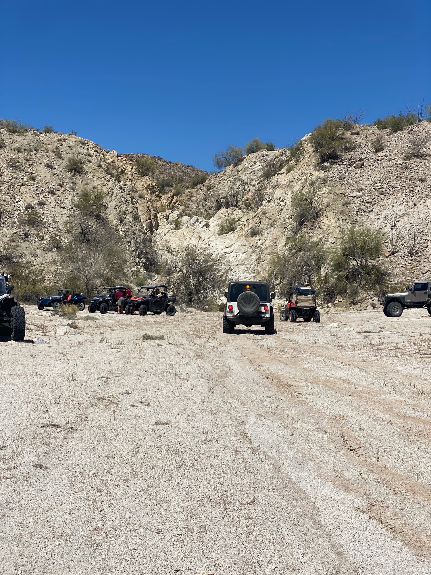
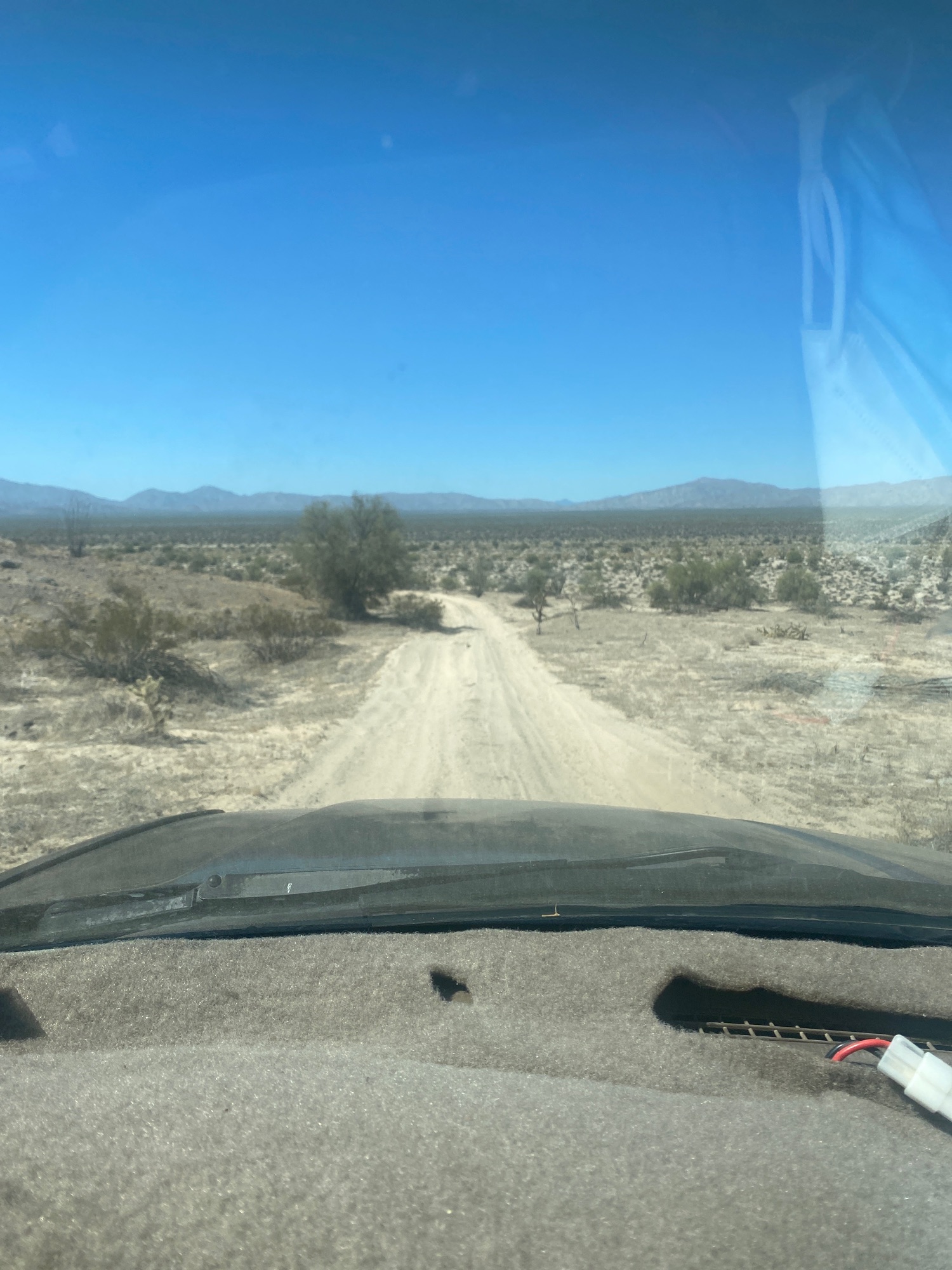
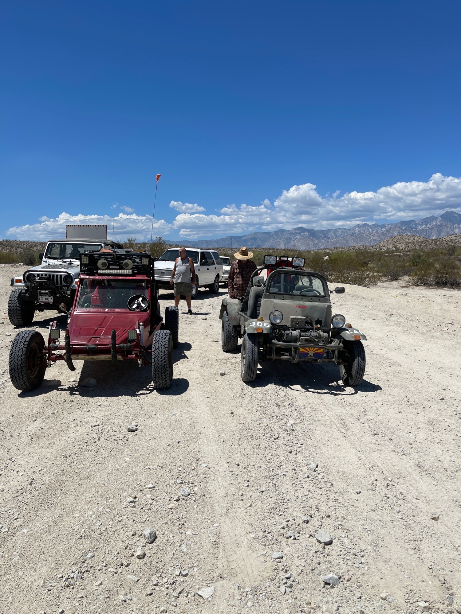
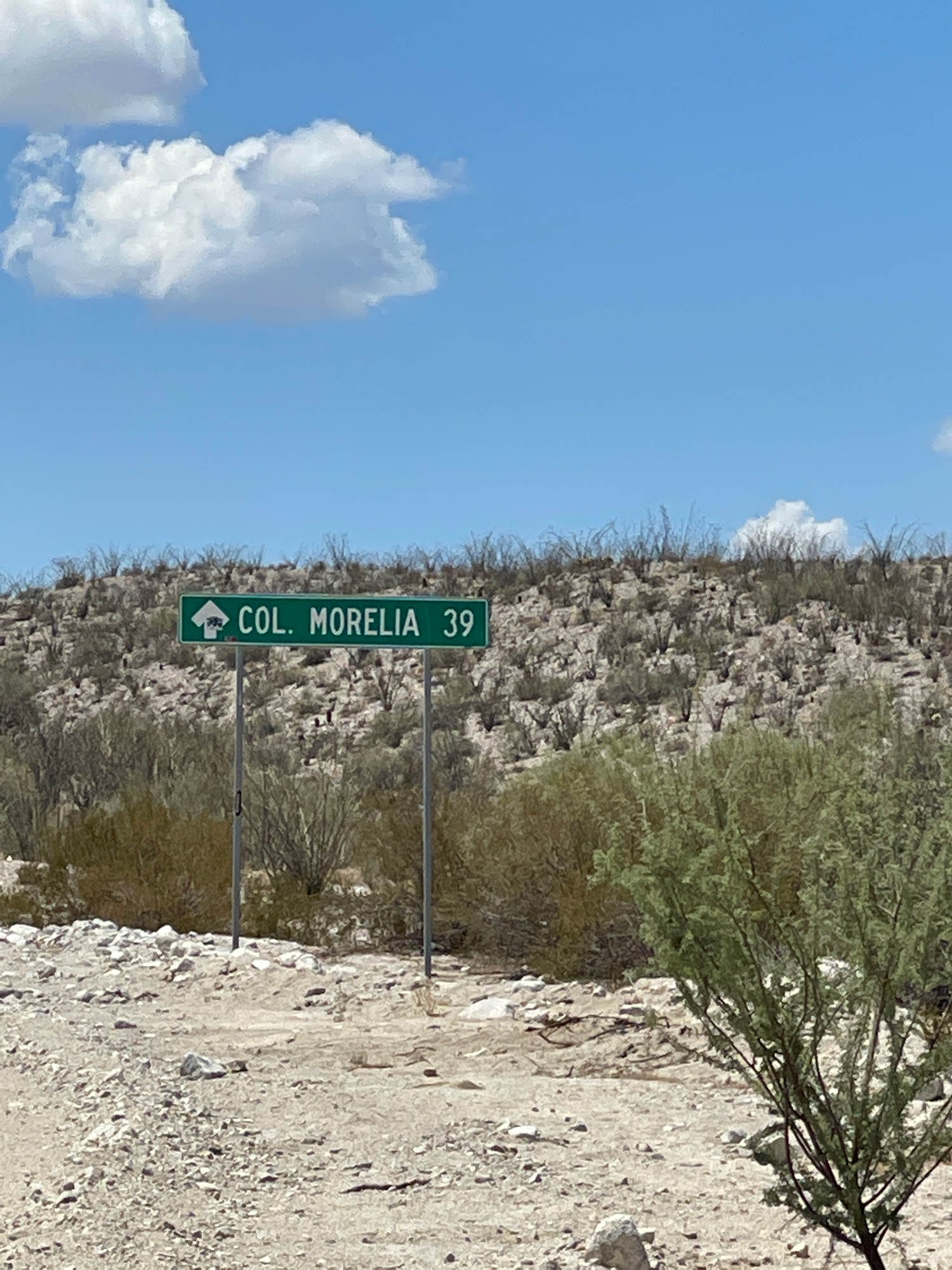
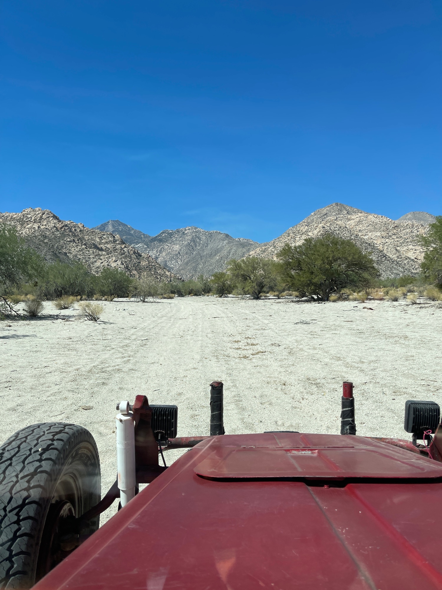
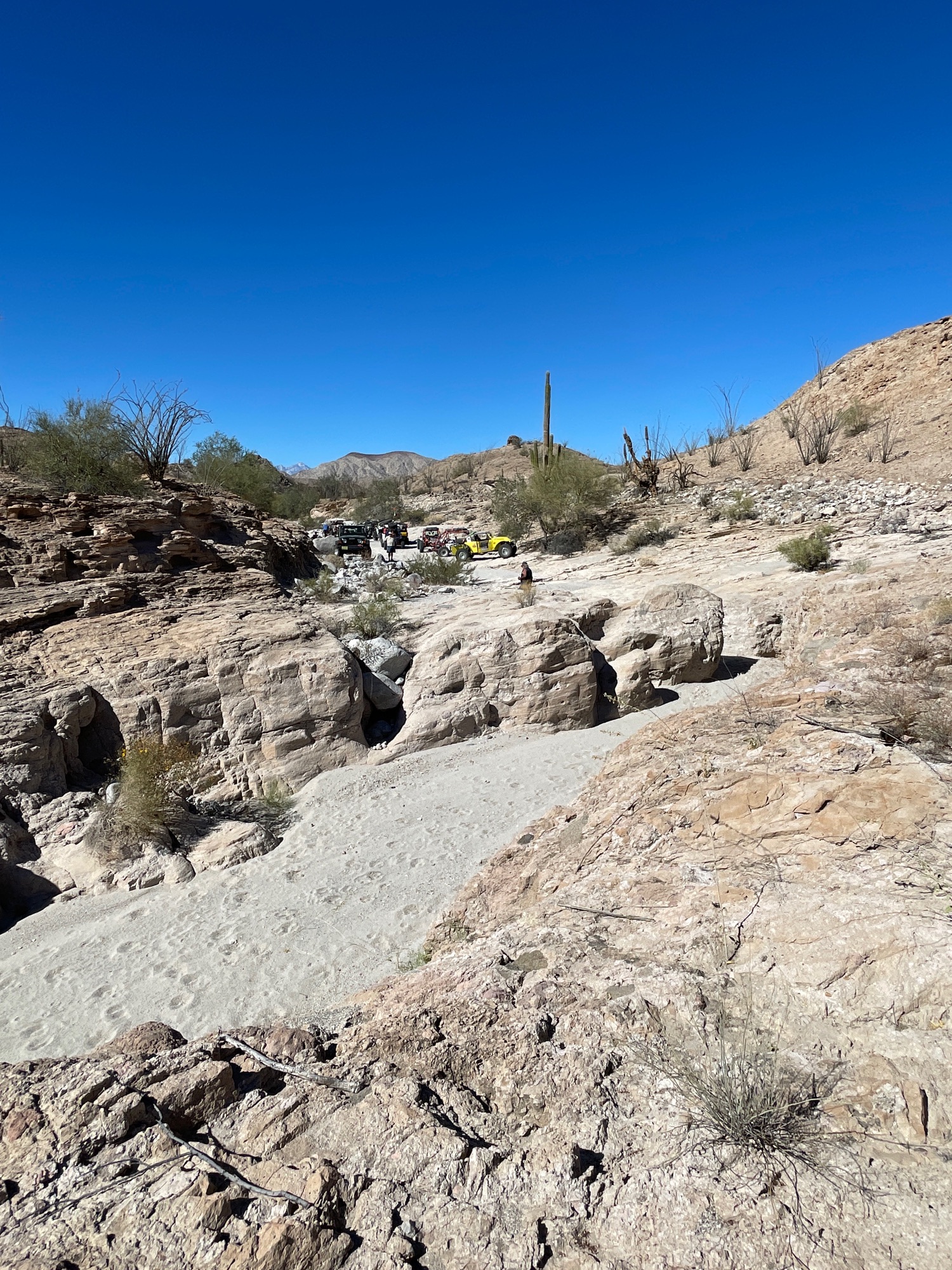
Oct. 14, 2021 West Valley Canyons
I may have missed a couple of Wornout's trips... but let's get back to enjoying his movie-map runs!
Last week, his posse of buggies and 4x4s took roads to the entrances of several canyons facing Valle Chico (Sierra San Pedro Mártir, eastside).
The Moving Map and photos:
https://www.relive.cc/view/vmqXXmQY2oq
The Relive Map doesn't give the canyon names, so I asked Warnout...
The first in and out was what we call 'Ball Park'
Second was Tulare
Third was Toledo
Fourth was Medio (we skipped the next one, NMedio (New Medio))
Fifth was Oso
We skipped Cajon cuz that is a run we go directly to since the water is usually pretty close.
That should do it.
His canyon map is attached...

The Moving Map and photos:
https://www.relive.cc/view/vmqXXmQY2oq
A couple of the photos you will see:
|
|
|
PaulW
Ultra Nomad
Posts: 3005
Registered: 5-21-2013
Member Is Offline
|
|
Wornout sent me his coordinates for the waypoints

|
|
|
David K
Honored Nomad
Posts: 64479
Registered: 8-30-2002
Location: San Diego County
Member Is Offline
Mood: Have Baja Fever
|
|
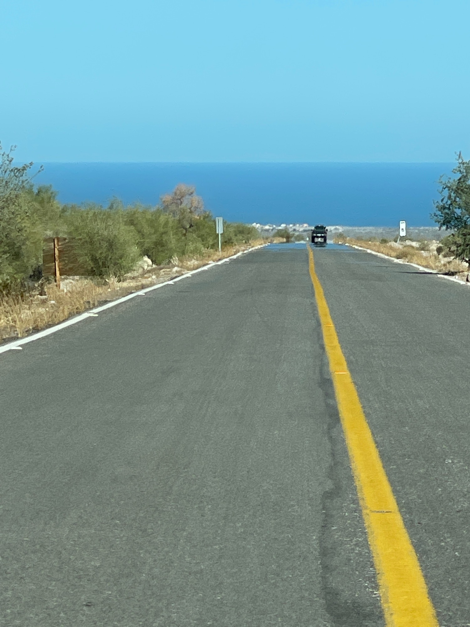
October 21, 2021: Esperanza Canyon Run
View on Relieve: https://www.relive.cc/view/vDqgkXwZrGq
A few of the photos:
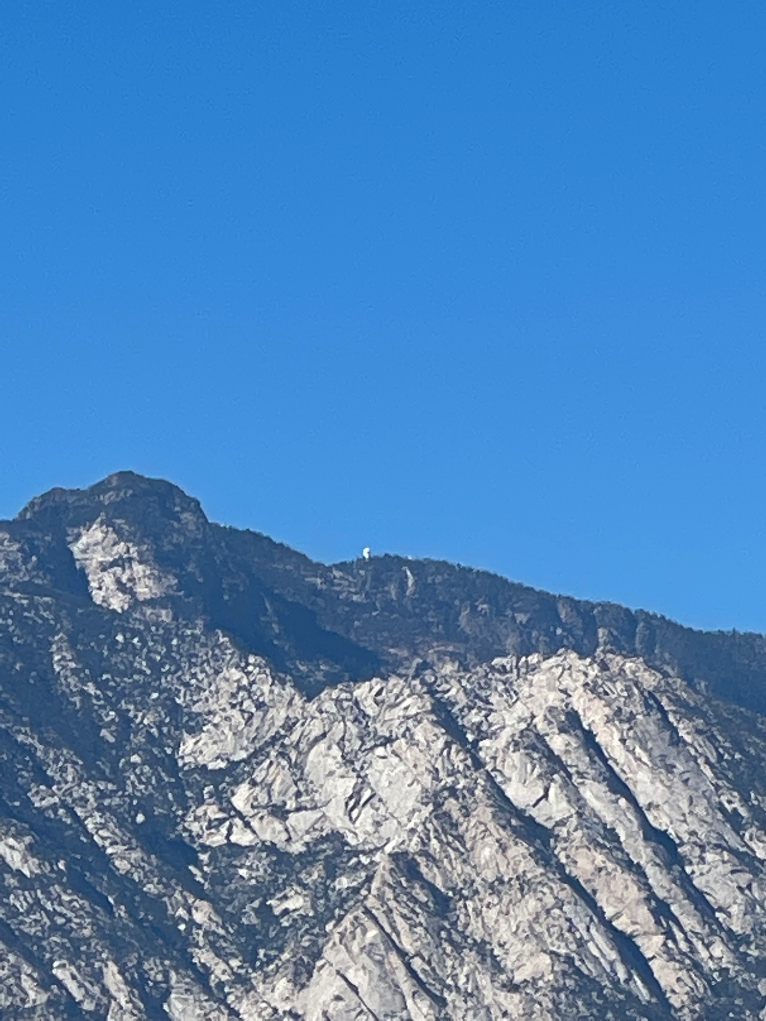
Observatories (9,280') as seen from Diablo Dry Lake (1,300').
|
|
|
David K
Honored Nomad
Posts: 64479
Registered: 8-30-2002
Location: San Diego County
Member Is Offline
Mood: Have Baja Fever
|
|
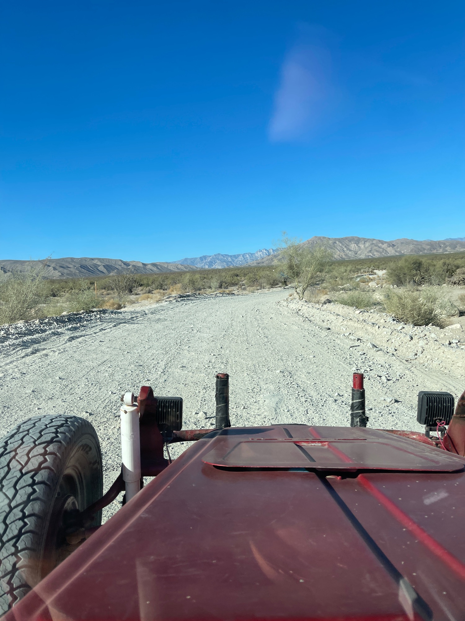
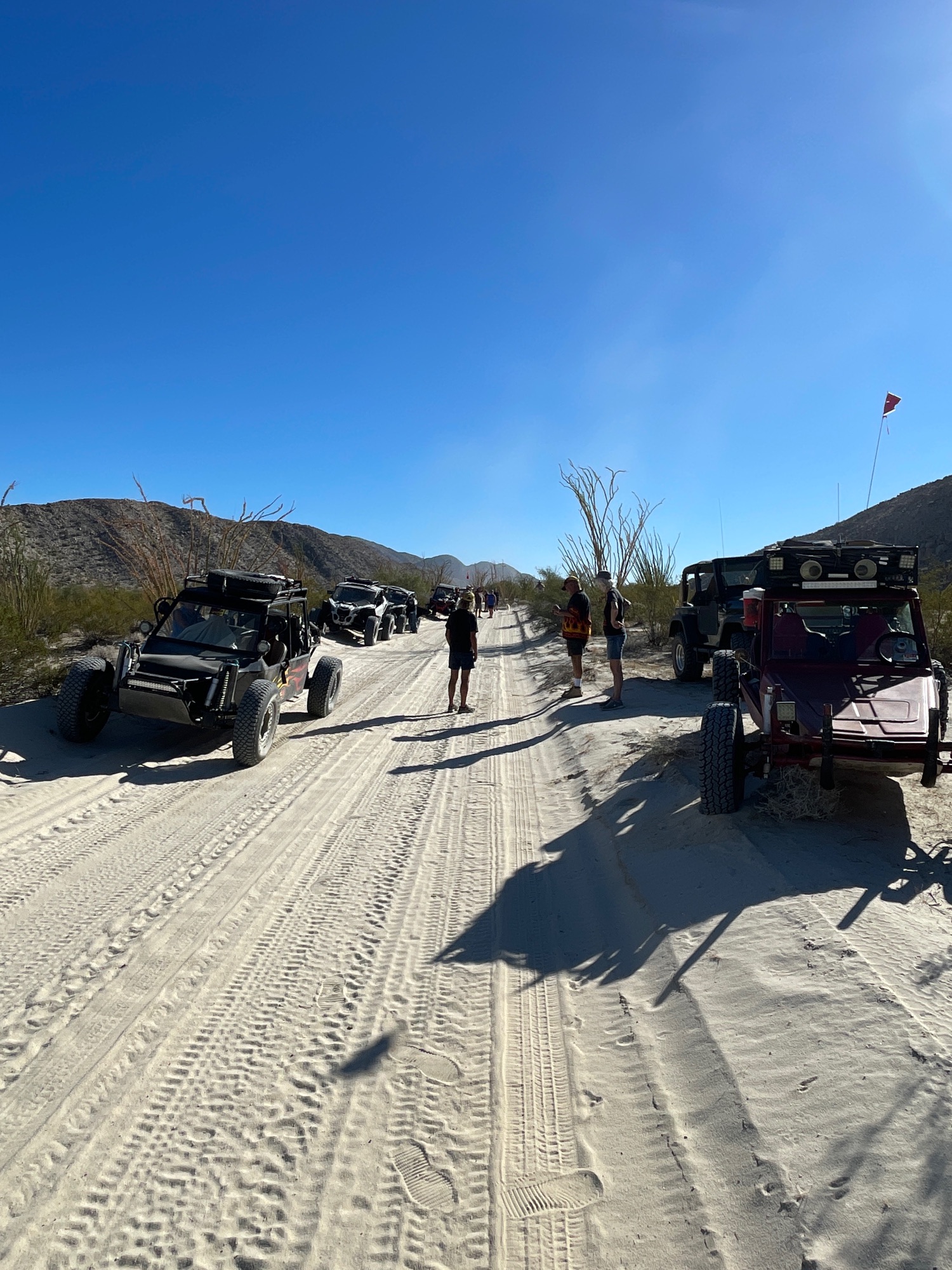
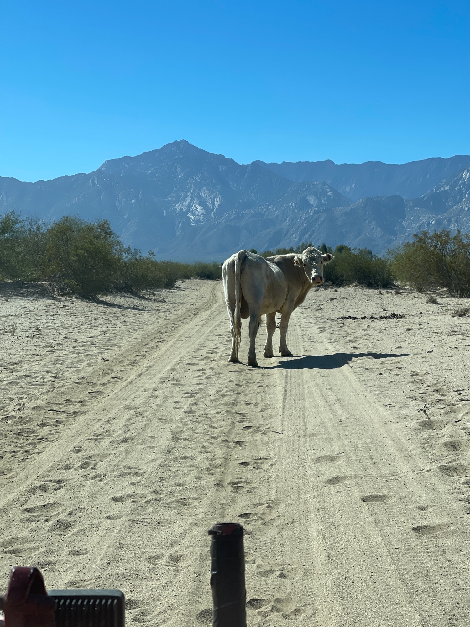
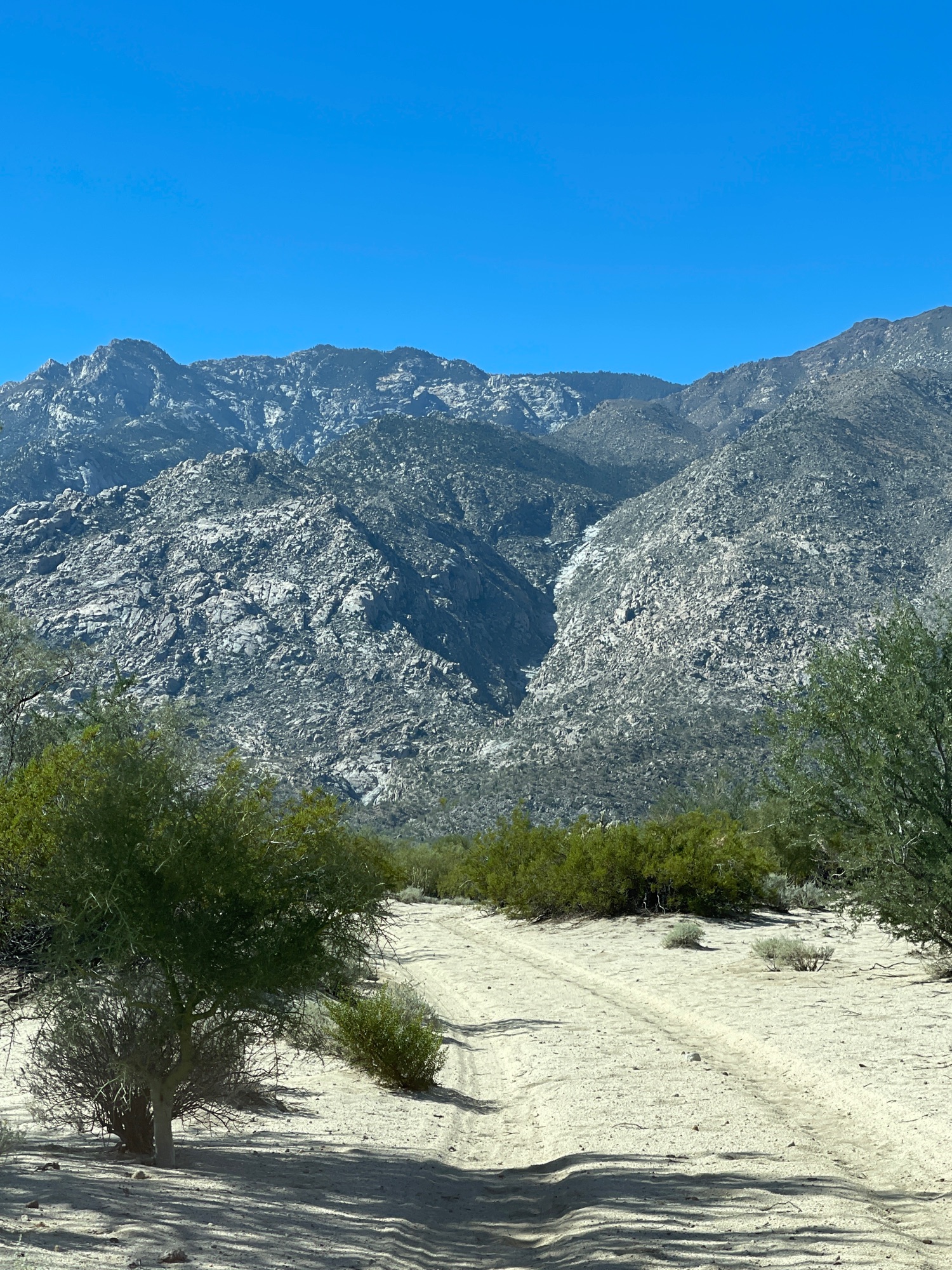
Nov. 4, 2021: Ram's Head and Beyond
Moving Map + videos and photos: https://www.relive.cc/view/v26MxQMXz3O
A few of the photos:
|
|
|
advrider
Super Nomad
Posts: 1847
Registered: 10-2-2015
Member Is Offline
|
|
Can't wait the get down there and join you guys, looks like fun! Eight working days left until retirement... L
|
|
|
PaulW
Ultra Nomad
Posts: 3005
Registered: 5-21-2013
Member Is Offline
|
|
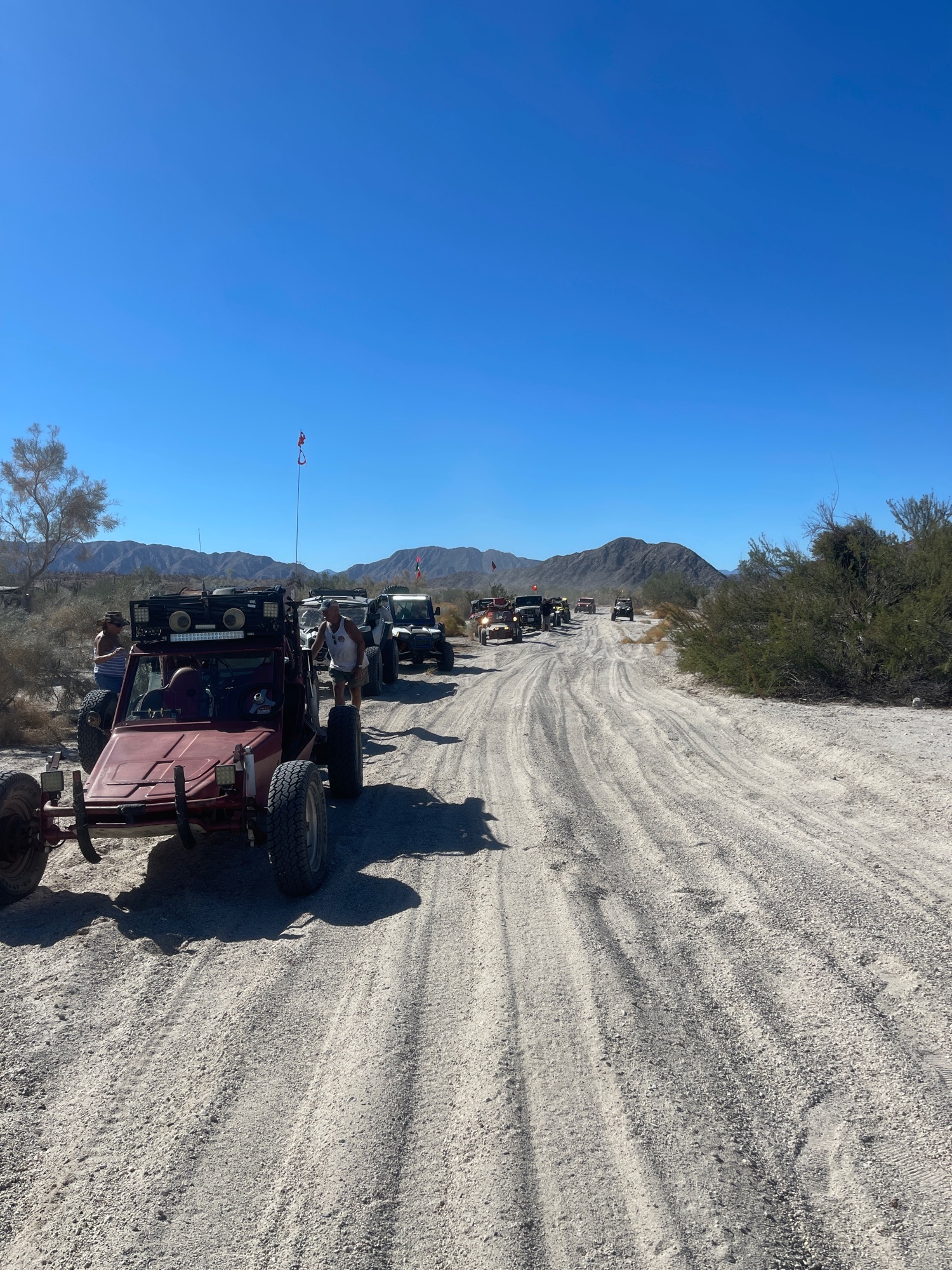
Rams Head
There is more
Started out poorly when in the heavy dust someone in the line of 19 rigs missed the turn and led the followers beyond the turn.
Did not get to Wow as you see we stopped to fix a tie rod on a VW buggy.
Then when did not get past the north end of OPR when another buggy died with transmission failure (Can am). Took that buggy home on a strap.
Here is the inReach image.

See how far we were from Wow on this image

|
|
|
David K
Honored Nomad
Posts: 64479
Registered: 8-30-2002
Location: San Diego County
Member Is Offline
Mood: Have Baja Fever
|
|
What is Wow?
|
|
|
PaulW
Ultra Nomad
Posts: 3005
Registered: 5-21-2013
Member Is Offline
|
|
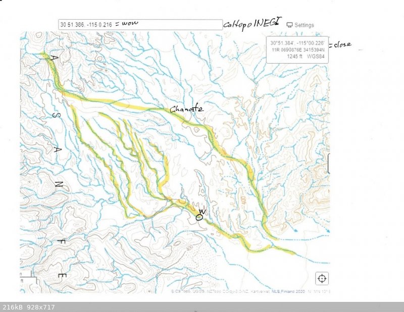
WOW
Many years ago locals exploring with using a 4 wheel ATV for the search to locate a crossover to connect the two branches of Chanate. Back then the
ATVs could drive thru the canyon and meet up between the two branches of Chanate at the east end. Then the floods came and made the passage too hard
to pass. That place where a big drop off appeared is called Wow. It is now used for a lunch stop place. The recent drive proved to be an easy drive
and the big boulders that once slowed us down are buried in the sand. We get there by way of Rams canyon mostly to minimize driving east up Chanate
which is race used and a hard drive with deep sand.
Wow is the place with a big drop off. Recently some high lifted Jeeps have found a way around that drop off.
As you can see the two drainages are separate but really close to each other at the western head waters.
I drove my capable Jeep from where the two drainages came together heading NW and came to another obstacle that was to steep and since I was solo
driving I declined to try the climb. Now we are waiting to try it again because that steep place will change.
By the way at the east end of the two drainages is a huge Cardon forest that is interesting to investigate.
|
|
|
David K
Honored Nomad
Posts: 64479
Registered: 8-30-2002
Location: San Diego County
Member Is Offline
Mood: Have Baja Fever
|
|
Nov. 12, 2021 Pumpkin Rock (near the sulfur mine)
Video Movie Map and photos: https://www.relive.cc/view/vevYxLE8Byq
|
|
|
| Pages:
1
2
3
4
5 |


