| Pages:
1
..
3
4
5 |
PaulW
Ultra Nomad

Posts: 3005
Registered: 5-21-2013
Member Is Offline
|
|
El Cajon
El Cajon Images from 2/21/2021 at the beginning of the thread show the traditional stream and the large water pool at the dam.
As you know El Cajon is a large drainage with head waters way west in the near the ridge of the eastern and western slope of Sierra San Pedro Martir.
Last summer it was dry and hot.
Yesterday 11/27/2021 the scene is vastly different. I walked up the streambed and there was no sign of any moisture. Passing by the ranch we noted the
cattle are in a large corral for feeding and they are using a large water truck for their water source. Looked like they were feeding from the
troughs. So, they must be bringing in the cattle food as well. The open desert has hardly anything for cattle to eat.
I have never seen that canyon dry as it is now and have been visiting it for 20 years.
Here are a couple of images


Same images from 2/2021

|
|
|
David K
Honored Nomad
Posts: 64479
Registered: 8-30-2002
Location: San Diego County
Member Is Offline
Mood: Have Baja Fever
|
|
Interesting. I like seeing the old vs new photos.
Once it snows on the sierra and that melts, the water will again flow to the desert.
My El Cajon Canyon photos from April 2004:


|
|
|
4x4abc
Ultra Nomad
Posts: 4163
Registered: 4-24-2009
Location: La Paz, BCS
Member Is Offline
Mood: happy - always
|
|
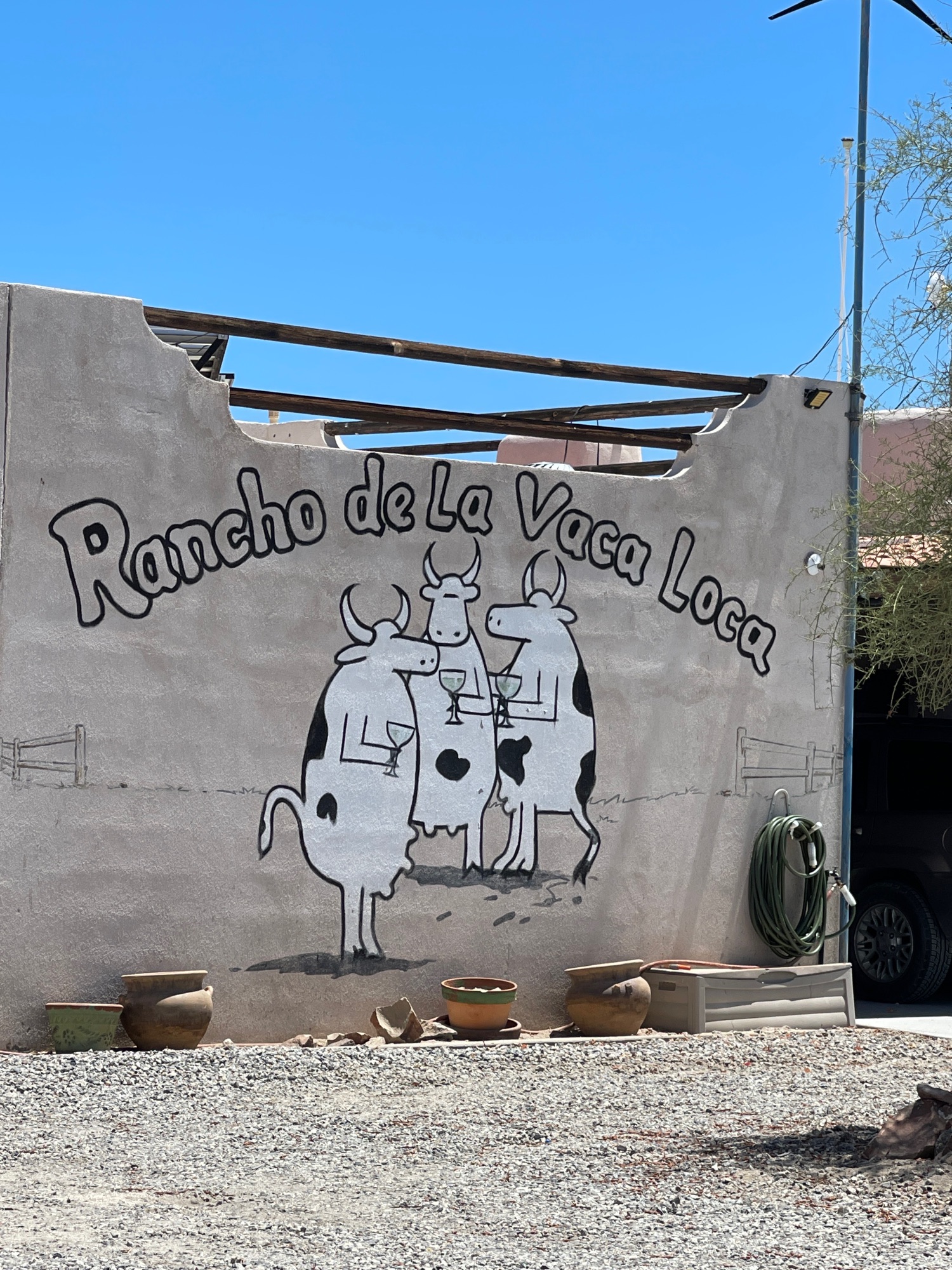
where is Rancho de la Vaca Loca?
Harald Pietschmann
|
|
|
David K
Honored Nomad
Posts: 64479
Registered: 8-30-2002
Location: San Diego County
Member Is Offline
Mood: Have Baja Fever
|
|
Since Wornout doesn't post much anymore, I will email him and ask for you, Harald.
|
|
|
4x4abc
Ultra Nomad
Posts: 4163
Registered: 4-24-2009
Location: La Paz, BCS
Member Is Offline
Mood: happy - always
|
|
looks like his house
Harald Pietschmann
|
|
|
David K
Honored Nomad
Posts: 64479
Registered: 8-30-2002
Location: San Diego County
Member Is Offline
Mood: Have Baja Fever
|
|
Wornout's answer: Yes, that is my house alright
|
|
|
4x4abc
Ultra Nomad
Posts: 4163
Registered: 4-24-2009
Location: La Paz, BCS
Member Is Offline
Mood: happy - always
|
|
sweet design
Harald Pietschmann
|
|
|
David K
Honored Nomad
Posts: 64479
Registered: 8-30-2002
Location: San Diego County
Member Is Offline
Mood: Have Baja Fever
|
|
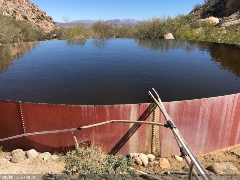
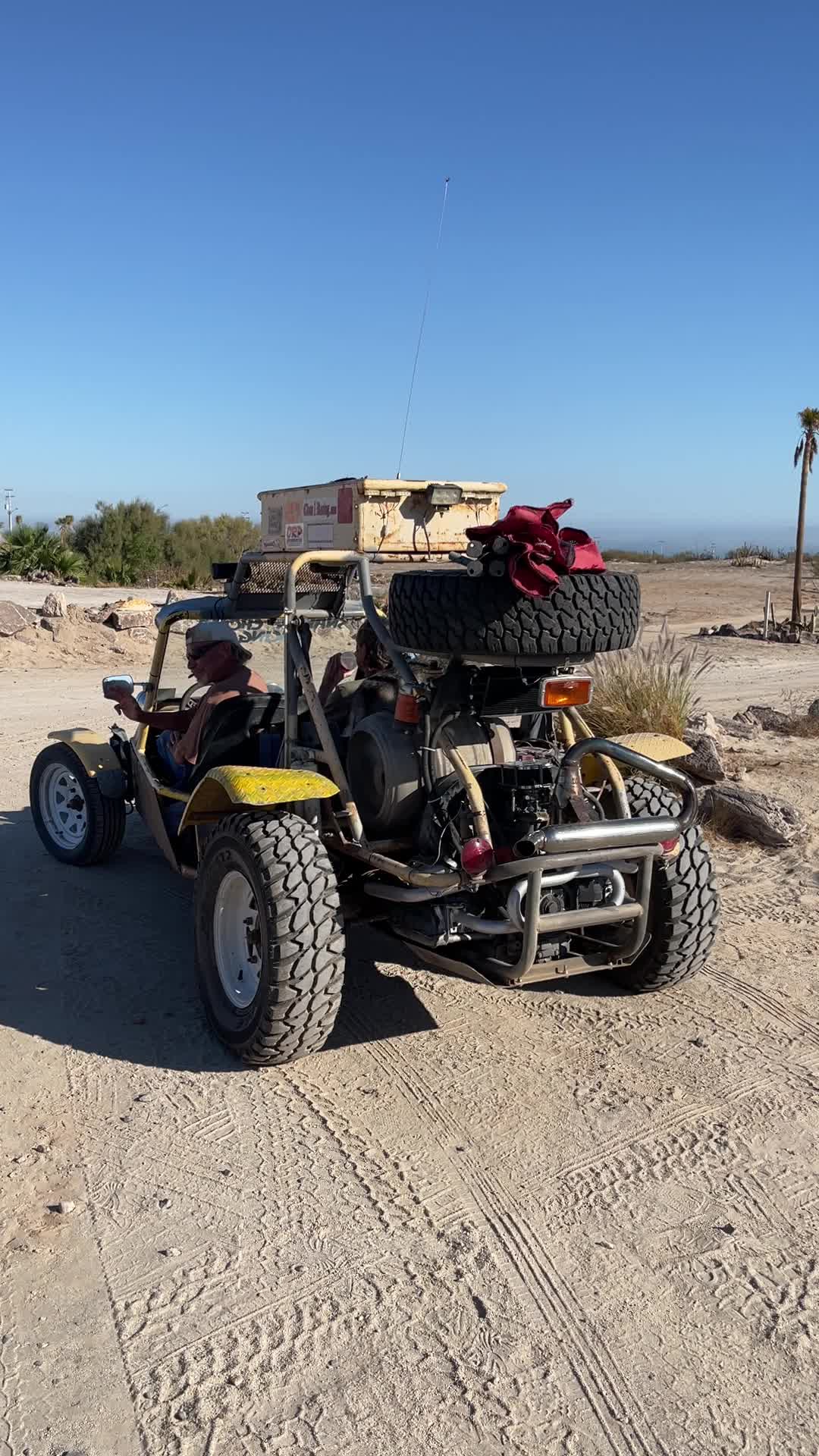
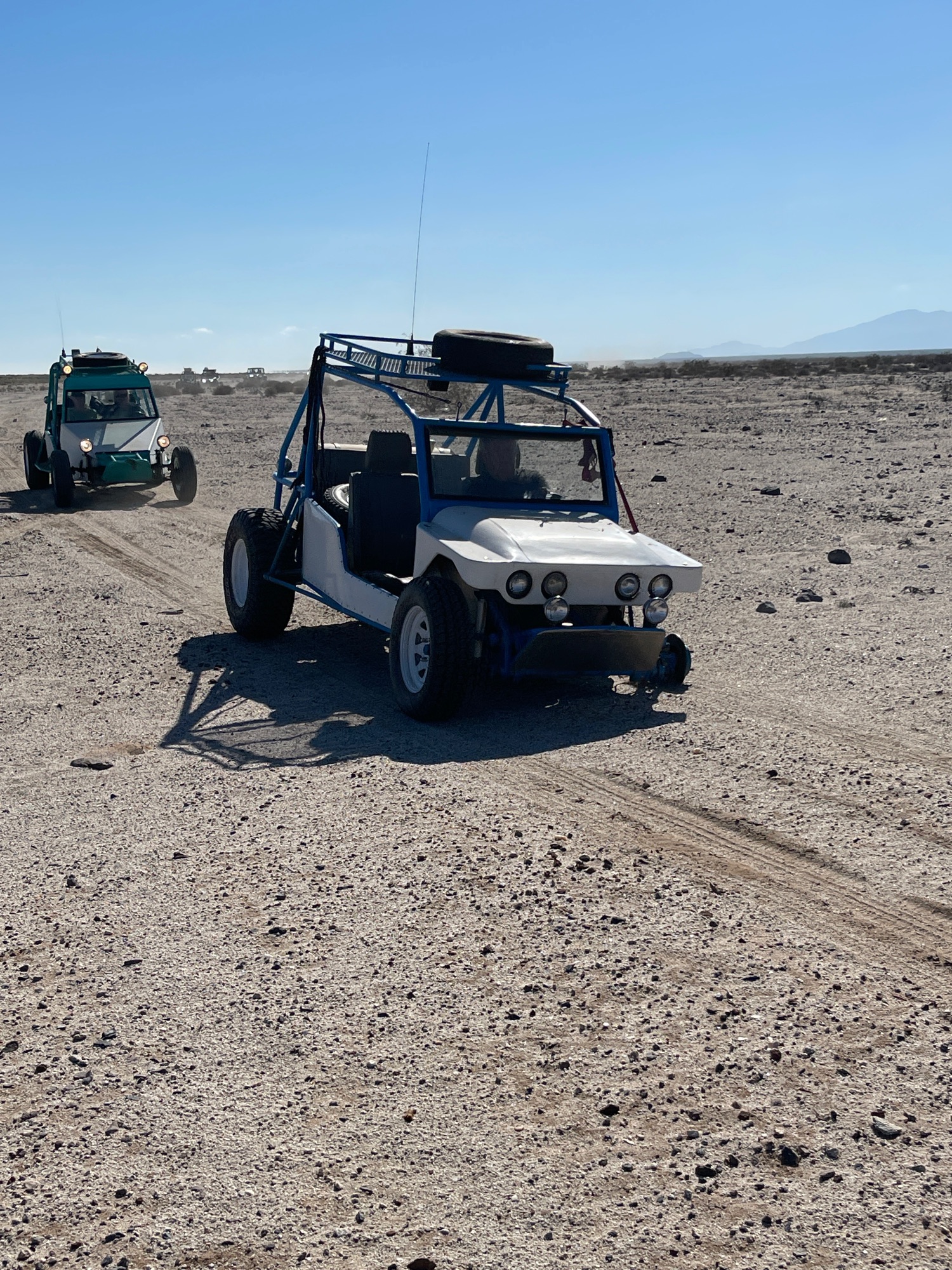
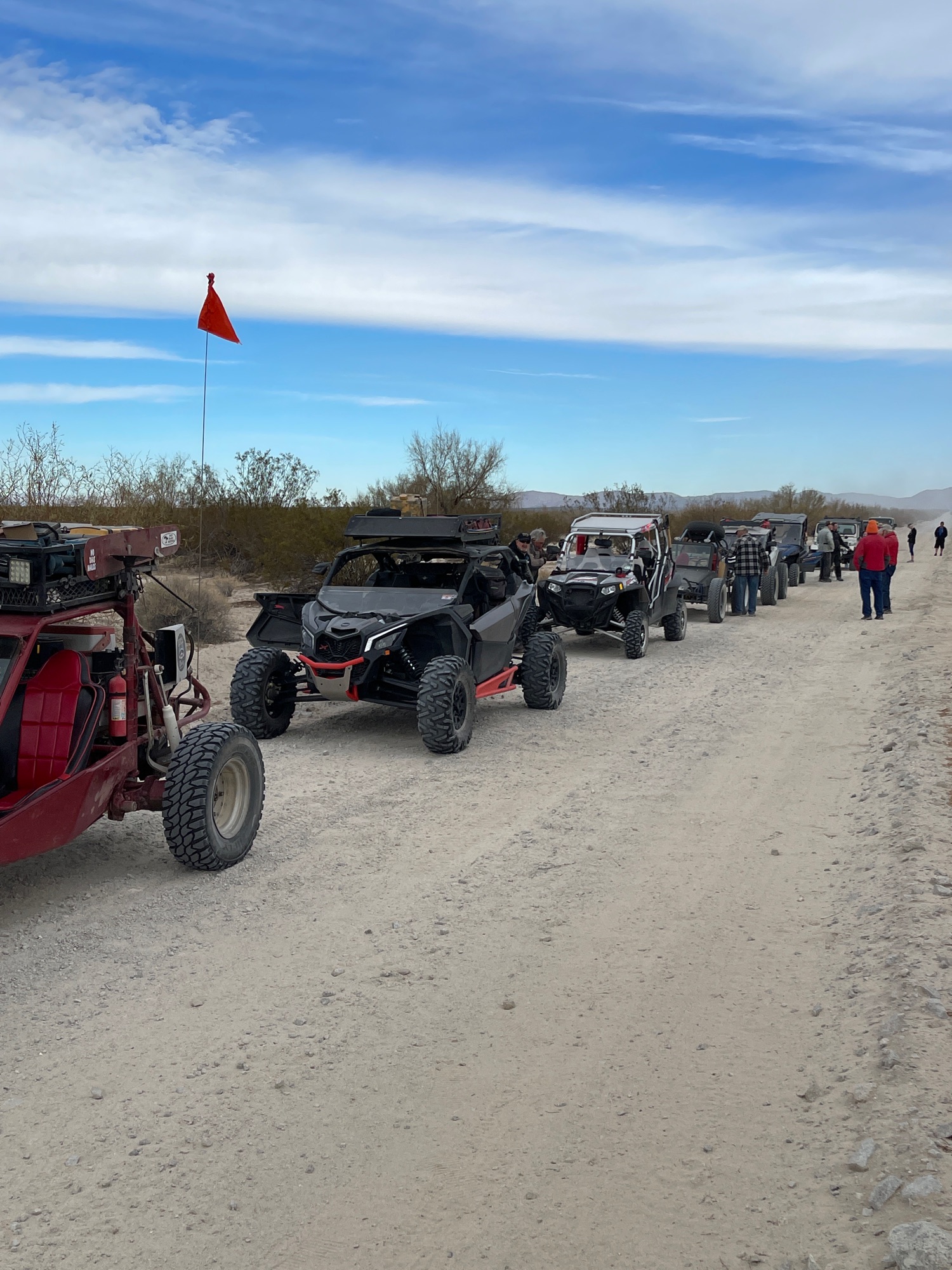
December 3 "Fun Adventure" Along the edge of the salt flats.
Moving Map with video clips and photos along the way:
https://www.relive.cc/view/vWqBrW4dNYq
A couple of the photos you will see:
|
|
|
David K
Honored Nomad
Posts: 64479
Registered: 8-30-2002
Location: San Diego County
Member Is Offline
Mood: Have Baja Fever
|
|
Next Friday, Wornout is going to lead the caravan to a place they call the 'volcano', south of San Felipe.
|
|
|
David K
Honored Nomad
Posts: 64479
Registered: 8-30-2002
Location: San Diego County
Member Is Offline
Mood: Have Baja Fever
|
|
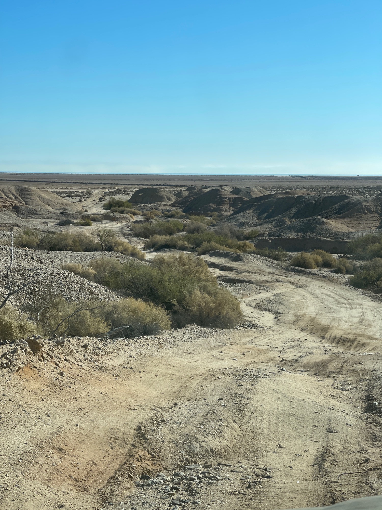
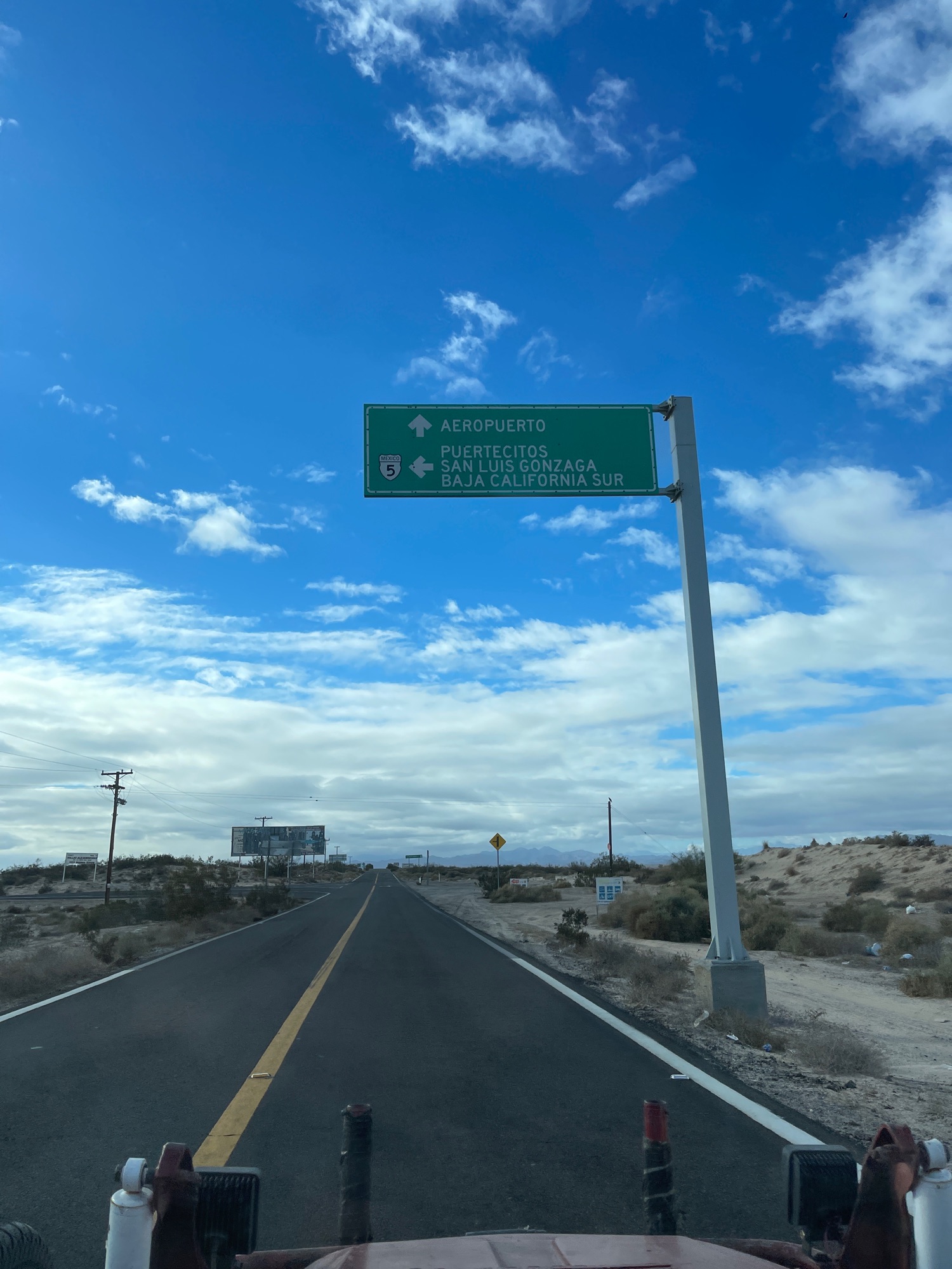
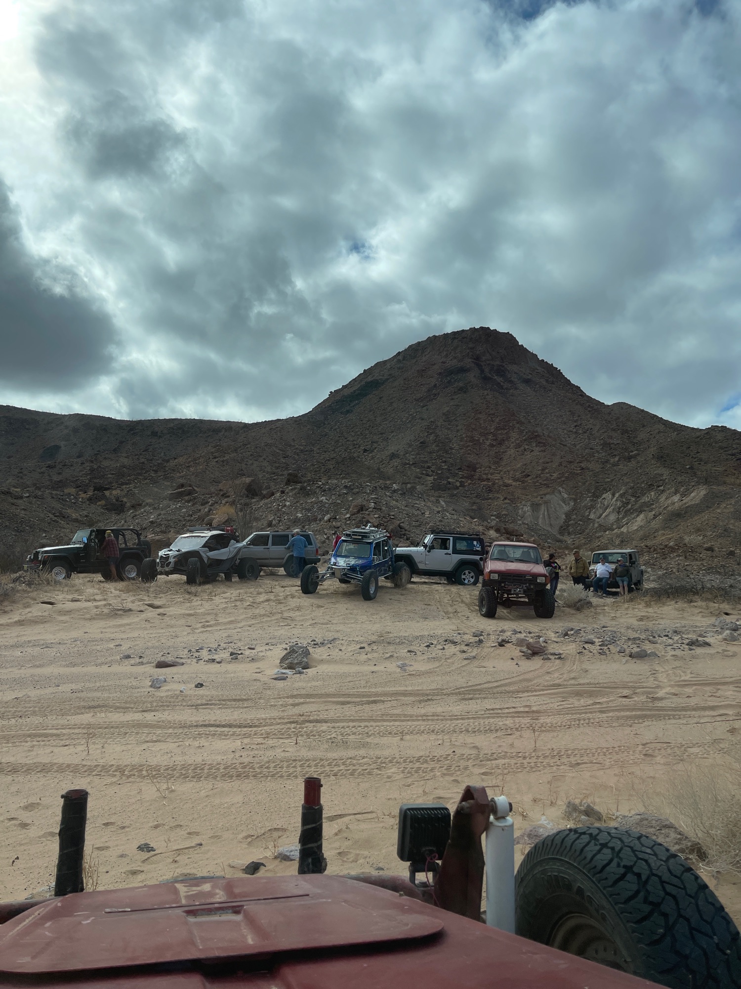
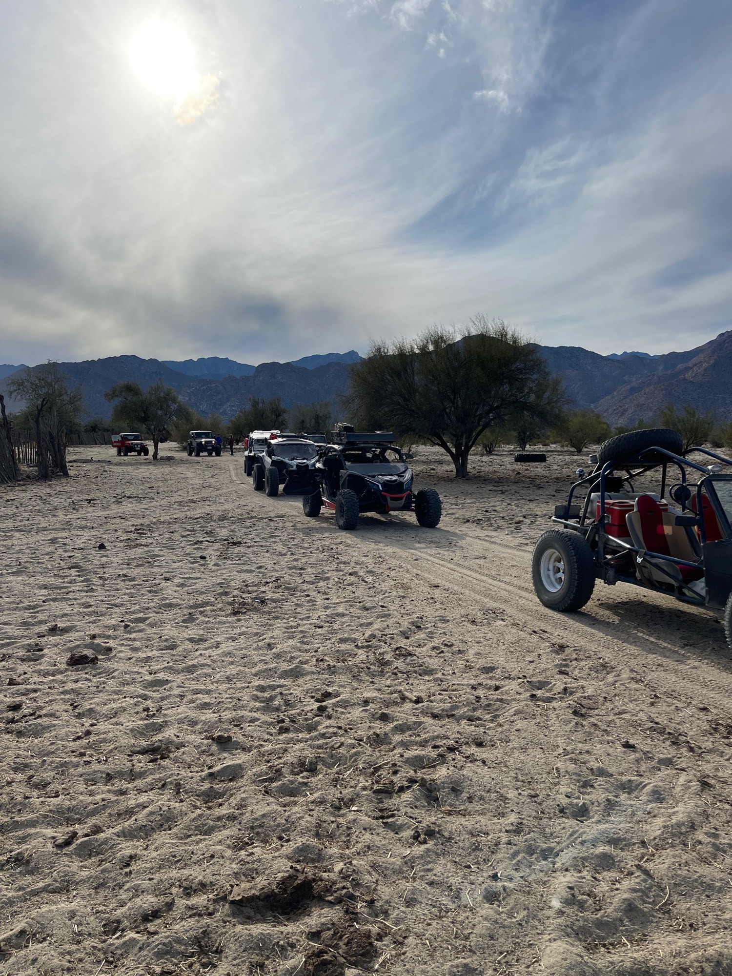
Dec. 10, 2021: Volcano (west of the sulfur mine)
Moving Map with photos and video: https://www.relive.cc/view/vXOnwp95KB6
A few of the photos:
|
|
|
David K
Honored Nomad
Posts: 64479
Registered: 8-30-2002
Location: San Diego County
Member Is Offline
Mood: Have Baja Fever
|
|
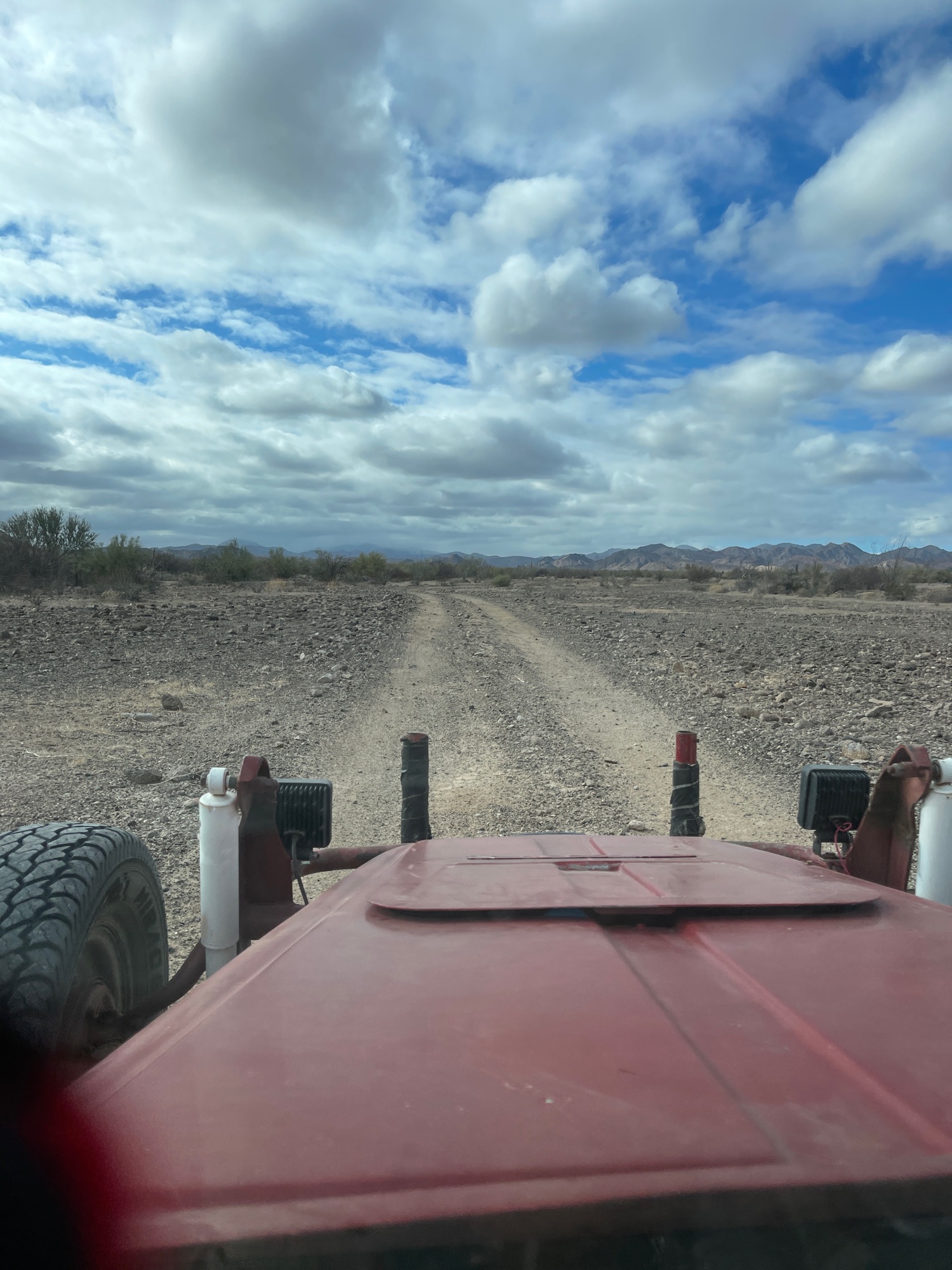
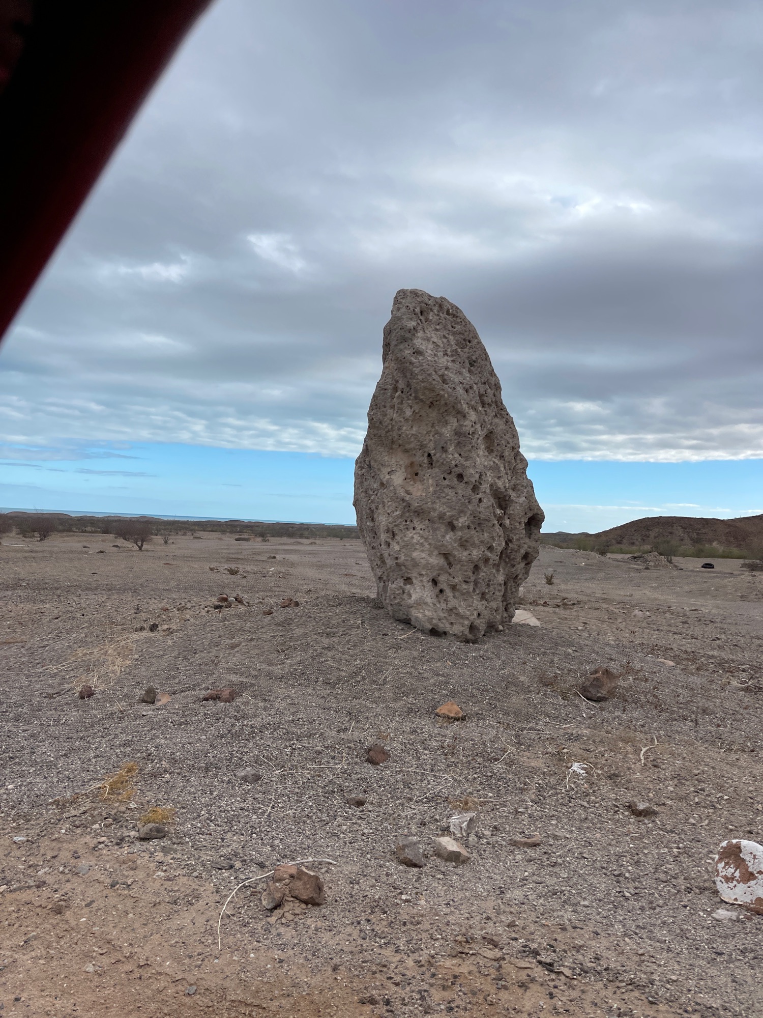
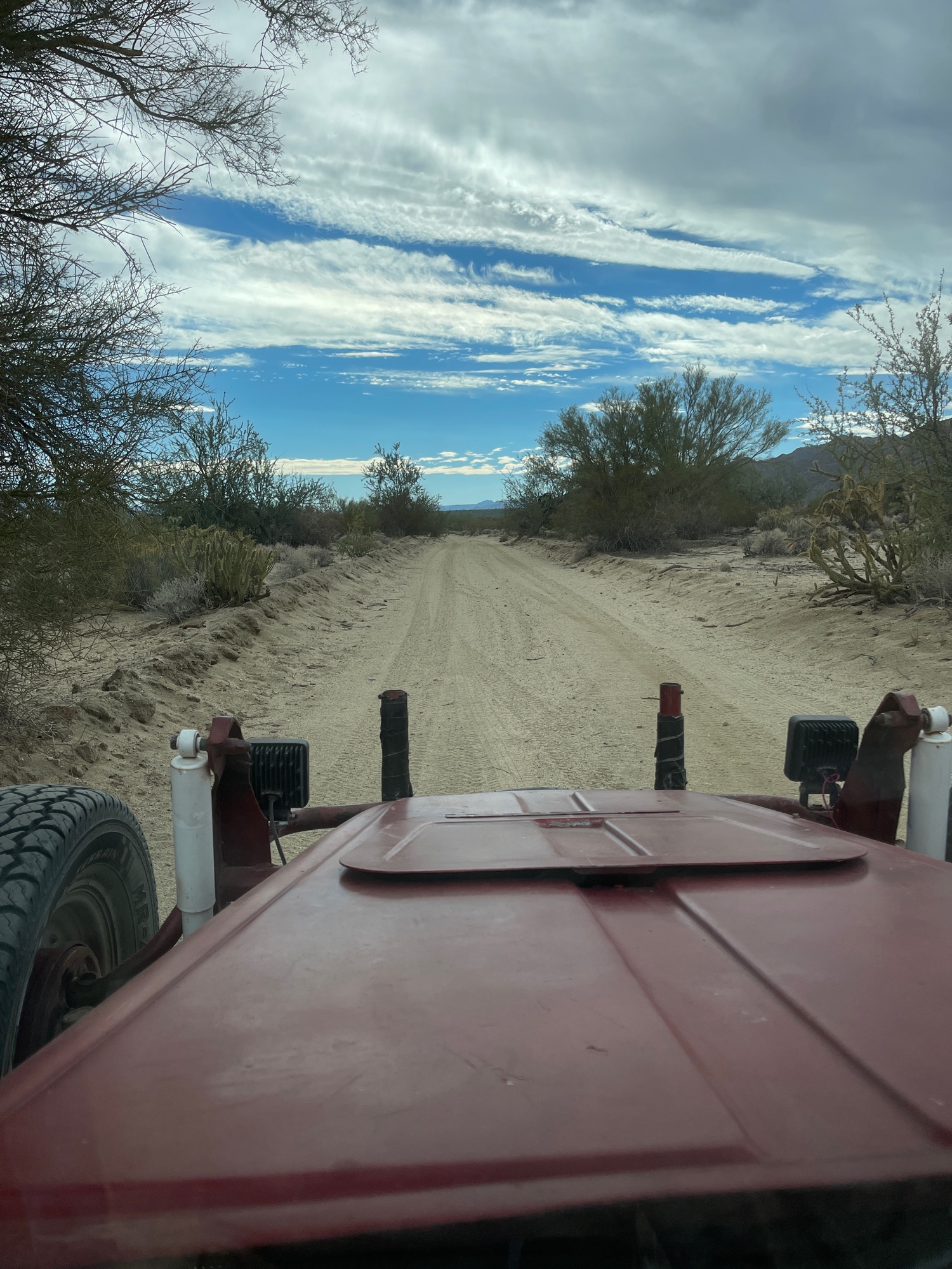
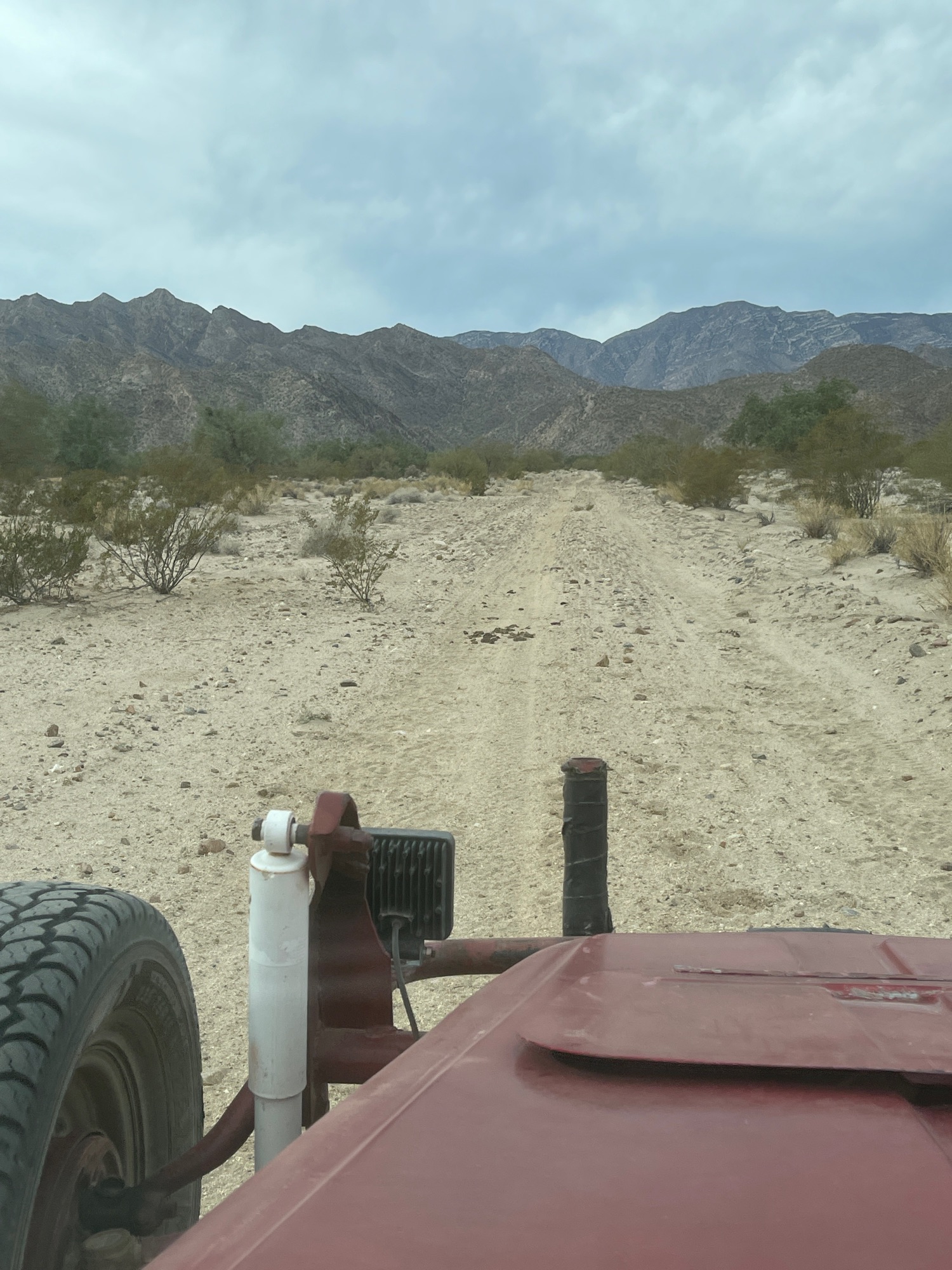
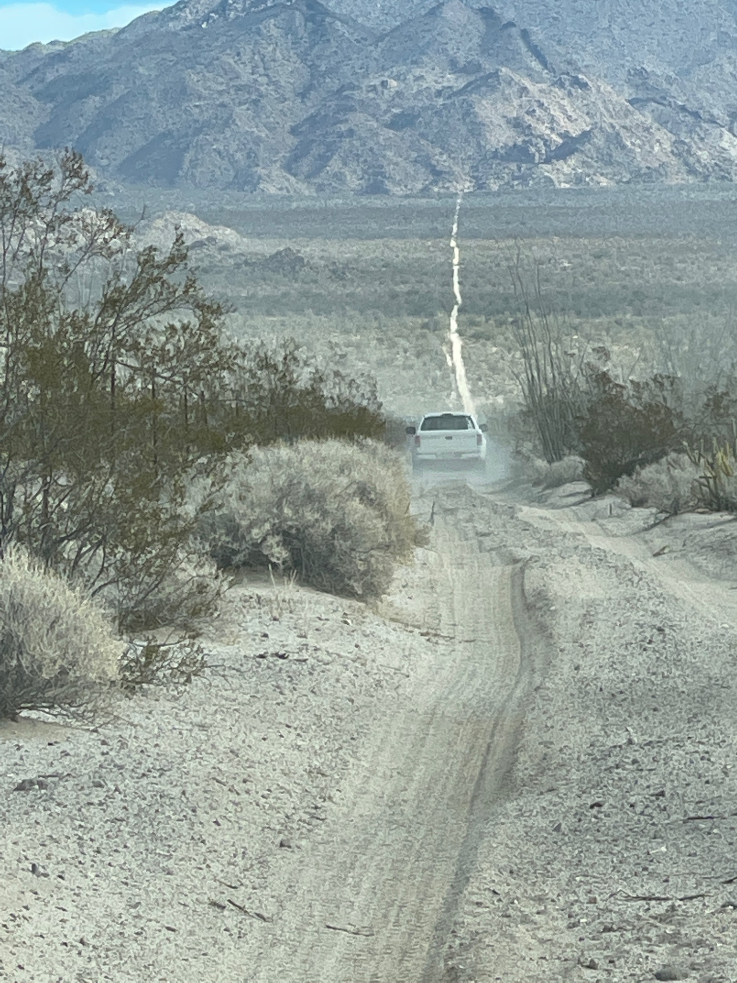
Dec. 17, 2021: Agua Caliente Canyon drive
Watch and listen: https://www.relive.cc/view/vLqe45wZYd6
Some of the photos shown:
[Edited on 1-3-2022 by David K]
|
|
|
David K
Honored Nomad
Posts: 64479
Registered: 8-30-2002
Location: San Diego County
Member Is Offline
Mood: Have Baja Fever
|
|
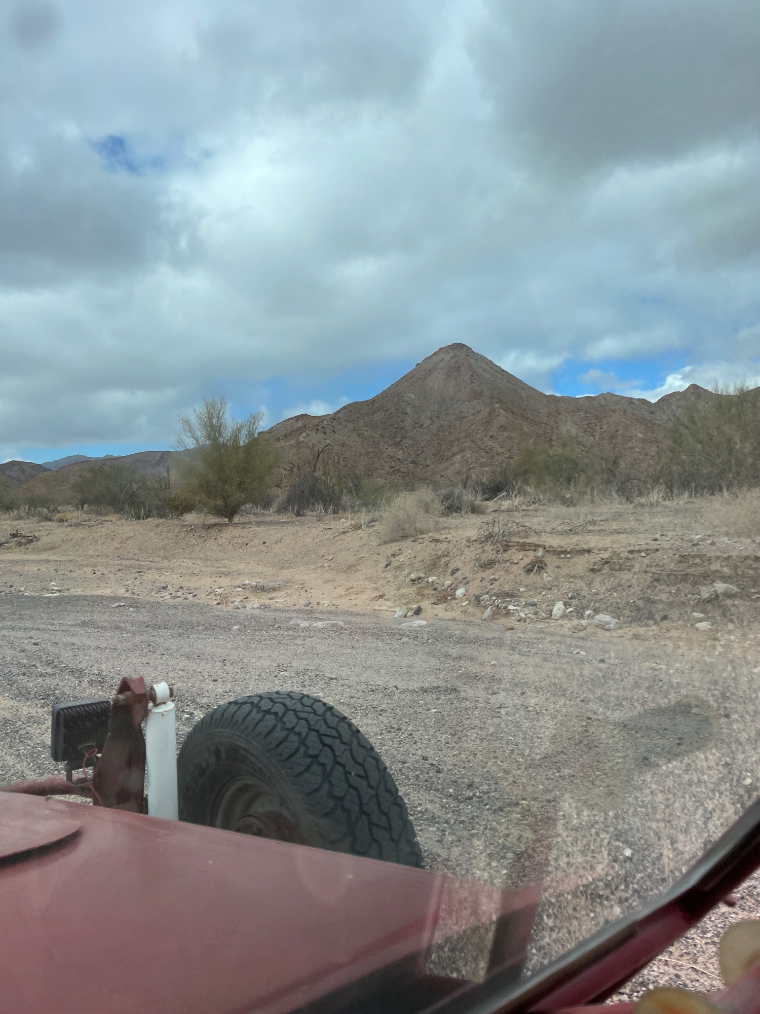
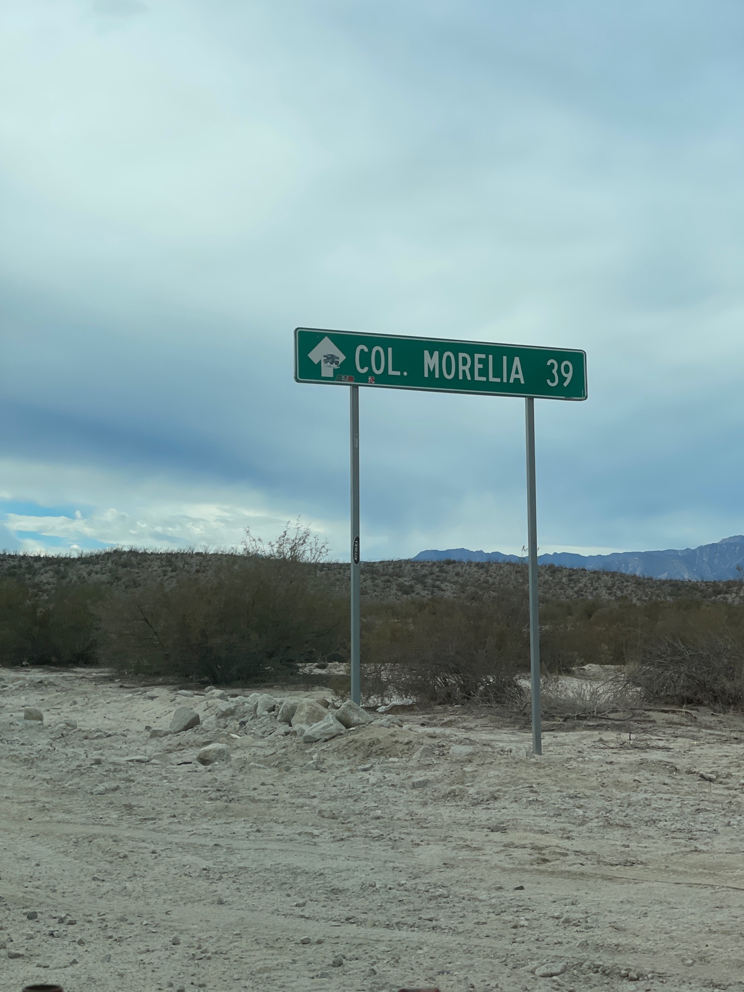
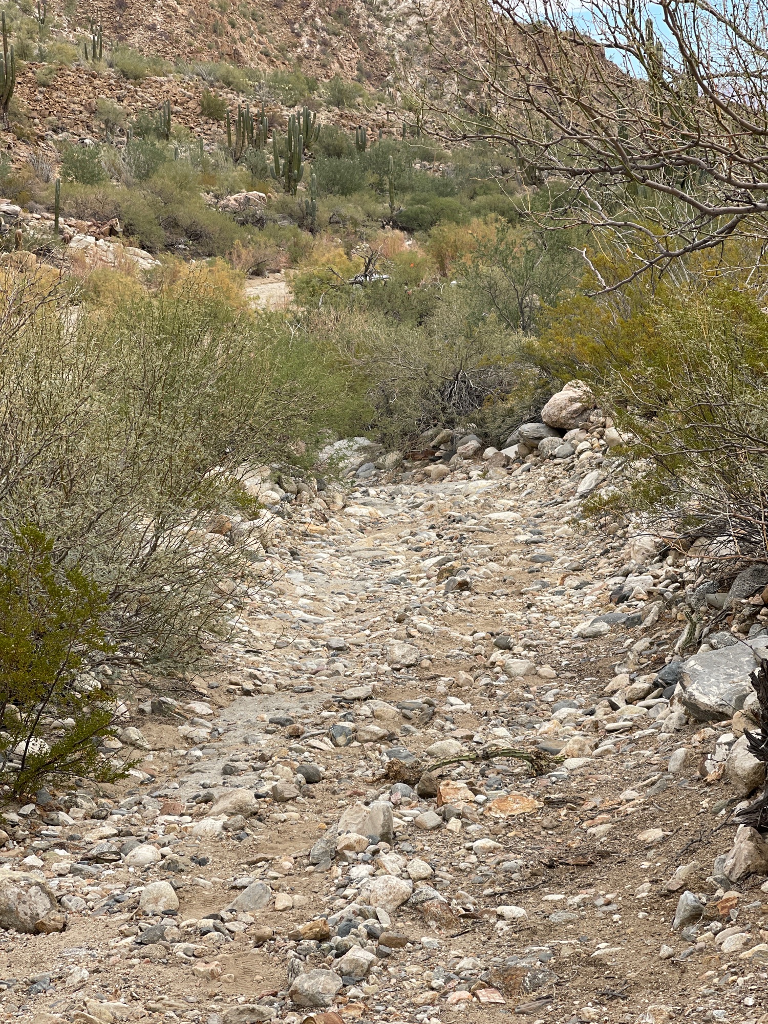
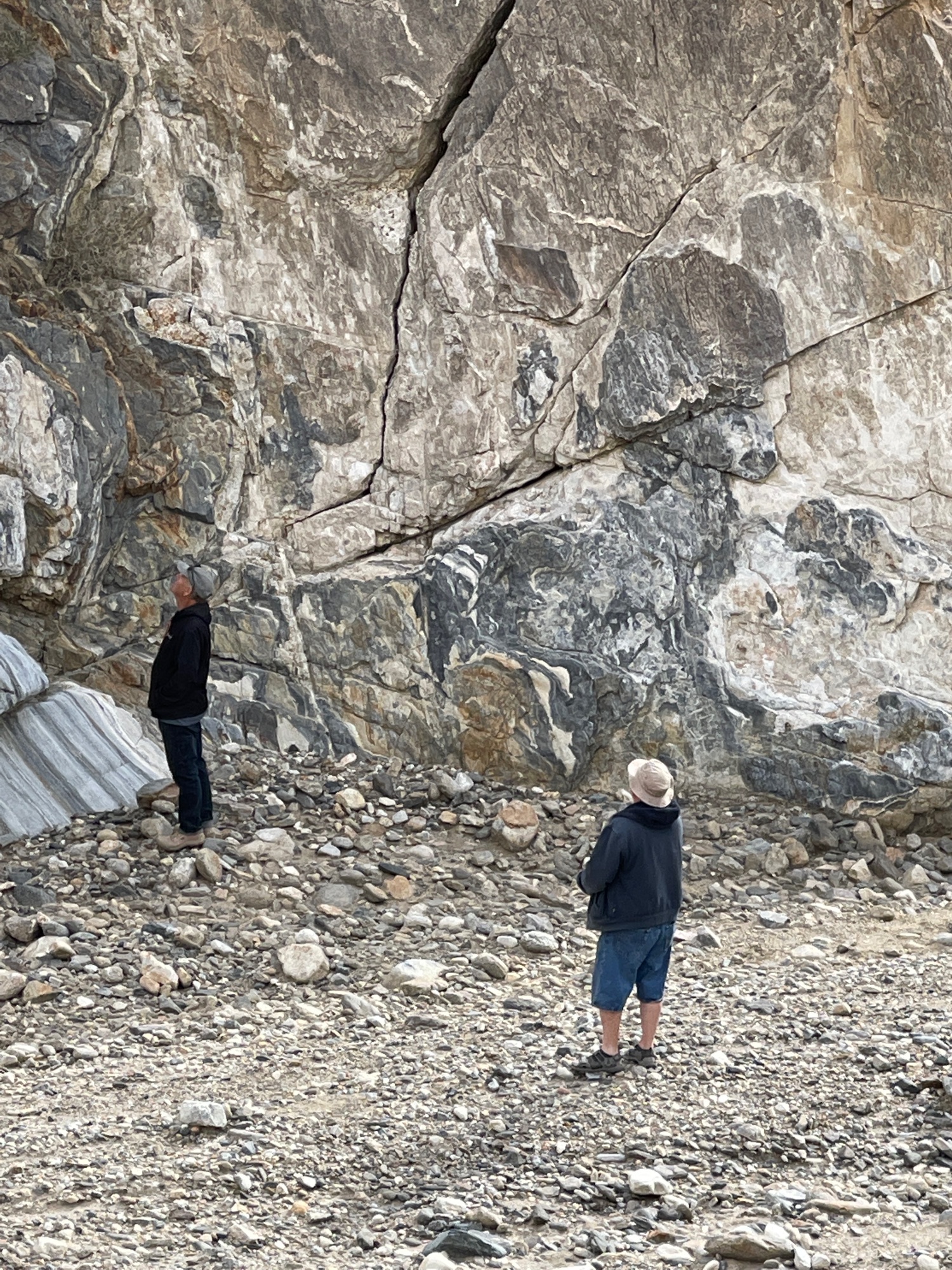
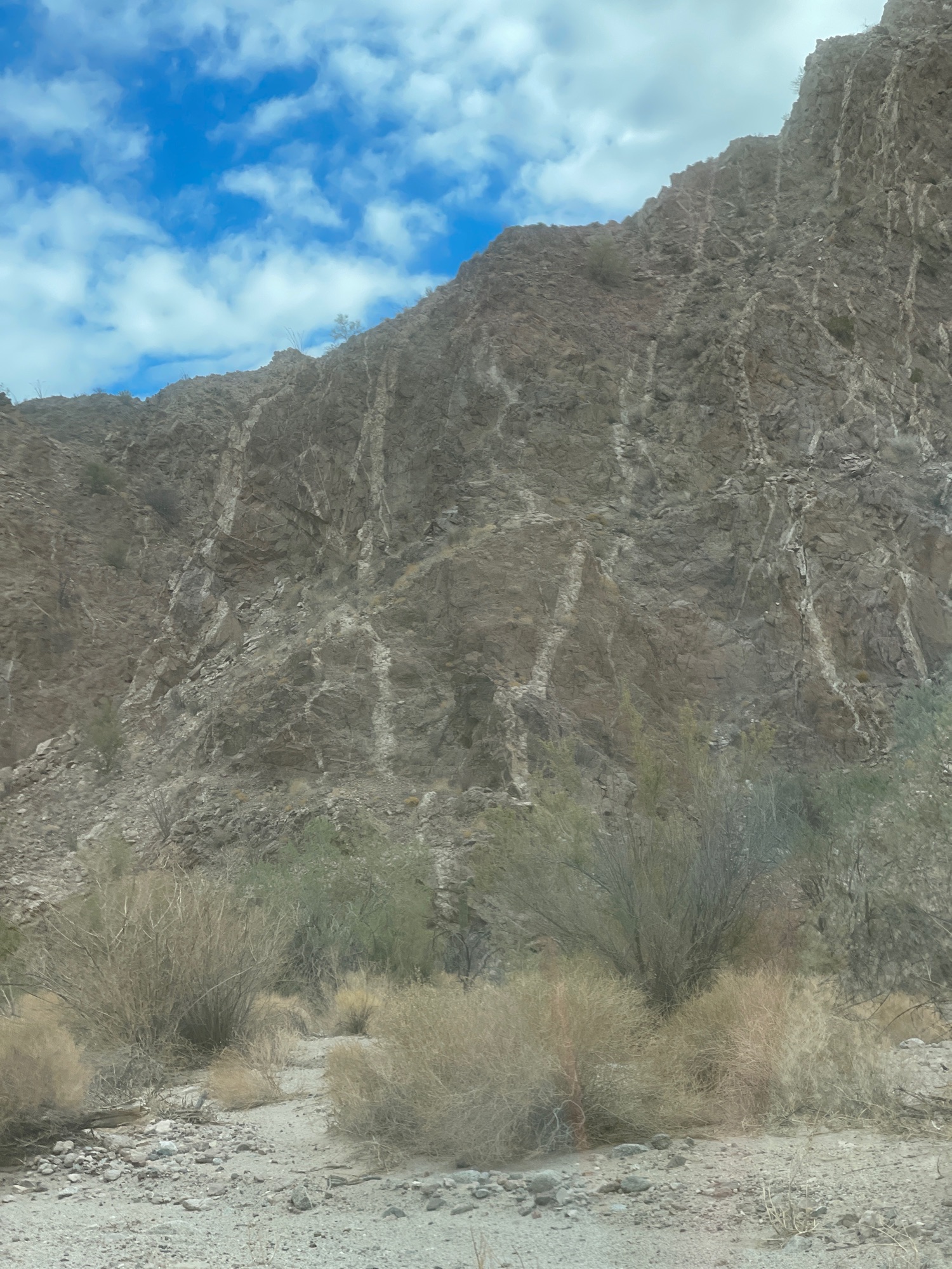
December 30, 2021: Crazy Horse Canyon (Cañada el Parral, 'Azufre Wash')
See Wornout's last desert tour of 2021.
Movie Map: https://www.relive.cc/view/vXOnwLdWe56
|
|
|
PaulW
Ultra Nomad
Posts: 3005
Registered: 5-21-2013
Member Is Offline
|
|
Some Geography
For those not familiar with Canyon Crazy Horse. It is the canyon on the official maps labeled Parral and called Azufre by folks racing or following
the SCORE events.
The western headwaters of the Parral drainage is just west of Rancho Parral (ab) just below the divide which constitutes the drainage between west an
east Baja. From Rancho Parral the drainage passed thru valley Chico. The east part is labeled Agua de Chale ending up at the coast at Nuevo Mazatlan.
The name Crazy Horse dates from the days when Bruce Barber and Lou Wells were leading many desert trips. I never found out the reason for the name.
The west end of Cxanyon Parral lies between Canyon Matomi to the south and Canyon Berrendo and Canyon Carrizo to the north.
|
|
|
David K
Honored Nomad
Posts: 64479
Registered: 8-30-2002
Location: San Diego County
Member Is Offline
Mood: Have Baja Fever
|
|
The Azufre Wash/ Crazy Horse part was poorly named 'Parral' after the canyon north of Matomí... The drainage from that canyon goes into Valle Chico
and then north to join Arroyo Huatamote and then out to sea near Punta Estrella/ Punta Diggs.
I first called Crazy Horse: 'Santa Rosa Canyon' when I discovered the abandoned road, south of the sulfur mine, back in December of 1978. One old map
called the mountains behind the sulfur mine 'Sierra Santa Rosa'.
I think I recall Bruce naming it 'Crazy Horse' because of all the twists and turns in there? Newer maps now apply the Sierra Santa Rosa name to a
small ridge north of the Sulfur mine and the rest as 'Sierra San Felipe'.
The road (Valle Chico to the Sulfur Mine) was mentioned in the 1967 edition of Camping and Climbing in Baja (but not later editions) and shown on the
1971 Geology Map. I soon began searching for it!
Once I found the route across to Valle Chico (and did some rock moving to get my Subaru through!), I used it often. Eventually, Score used it and the
AAA map showed part of it.
Here it is on my 1982 map (Hwy. 5 roadbed was under construction beyond Coloradito):
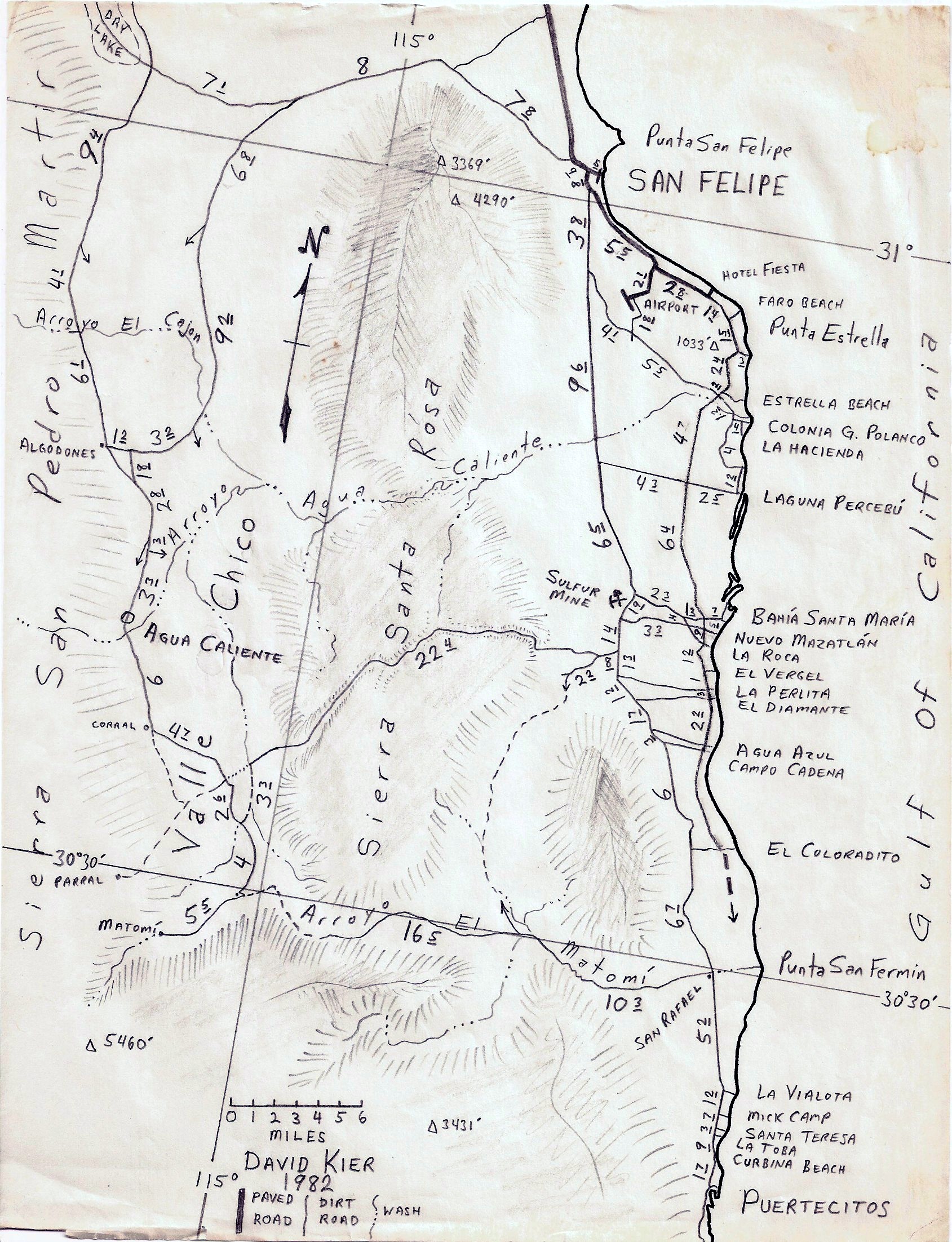
Before the 'Huatamote' name was used, older maps called it Arroyo Agua Caliente, so I used that name on mine.
[Edited on 1-3-2022 by David K]
|
|
|
PaulW
Ultra Nomad
Posts: 3005
Registered: 5-21-2013
Member Is Offline
|
|
The confusion about the Parral drainages led to the creation of the name Azufre.
== ==
DK wrote: "The Azufre Wash/ Crazy Horse part was poorly named 'Parral' after the canyon north of Matomí... The drainage from that canyon goes into
Valle Chico and then north to join Arroyo Huatamote and then out to sea near Punta Estrella/ Punta Diggs."
Yes of interest on INEGI H11B57/67:
It gets a lot more complicated
*-*Huatmote does drain the south end of the large lakebed, and from Parral all the way from the west through V Chico. The coast end of Huatamote sure
enough hits the coast (and includes Don Pancho and/or Parra), several miles south of Estrella/Diggs.
The water flow to the coast via Huatamote varies dependent on the the rains.
(1) Sometimes the water gets into Huatamote via Parral and,
(2) sometimes from the drainage from the lakebed to the west (That drainage from the lakebed is no longer passable by vehicle after Nora).
(3) Or both (1 & 2) drainages at the same time.
(4) And sometimes from ‘Azufre’/Parral/Chale.
Huatamote has another label west of v Chico called Novillo. Another corruption of the real Huatamote label. H11B66
*-*Parral also drains into the ‘Azufre’ wash via V Chico where it becomes Parral/Chale then to the coast at Mazatlán.
(1) Sometimes Parral drainage flows into Huatamote via a northern canyon (no official name),
(2) and sometimes it continues east using the ‘Azufre’ path (Parral/Chale),
(3) sometimes both.
All these canyons flow during significant rains. The north canyon from ‘Azufre” to Huatamote has not been driven to my knowledge.
If you understand the above it becomes clear why a new name was desired to define ‘Azufre” for driving purposes.
Regarding Santa Rosa
Never saw a repeat of the mountains or canyon so I have always ignored the reference. Not shown on any of the new or old INEGI maps.
Agua Caliente or Huatamote?
Agua Caliente and Berrendo fade to comingle into Parral, the major drainage. Thus, I guess since Parral becomes part of Huatamote that would explain
the confusion of calling Huatamote as Agua Caliente. Verified on H11B66 from before your travels.
|
|
|
PaulW
Ultra Nomad
Posts: 3005
Registered: 5-21-2013
Member Is Offline
|
|
It is a plant. Common in Baja
Named for a Baja bush. "Seep Willow [huatamote] (Baccharis glutinosa)". See baccharis glutinosa seep willow Guatamote (Huatamote)? The plant is used
as a traditional medicine.
There is another Arroyo with the same name in Baja Sur and many places in Baja use the name Huatamote.
|
|
|
David K
Honored Nomad
Posts: 64479
Registered: 8-30-2002
Location: San Diego County
Member Is Offline
Mood: Have Baja Fever
|
|
Quote: Originally posted by lencho  |
Thanks; makes sense-- a lot of Spanish speakers indiscriminately interchange initial /b/g/h (consider "buey" and "güey"). |
The government map spell checkers in Mexico City didn't care to change it, for some reason?
|
|
|
David K
Honored Nomad
Posts: 64479
Registered: 8-30-2002
Location: San Diego County
Member Is Offline
Mood: Have Baja Fever
|
|
I tend to prefer historic spellings, and Little Santa Rosalía was spelled Rosalillita... I have yet to see a Spanish place with a double i in its
spelling (Rosaliita).
Before the mid-1900s, it was Santa Rosalía Point and Bay... but with the copper town such a big deal, down the road, it was decided to change the
name of the less inhabited fishing camp.
The Santa Inés to Santa Ynez thing was purely the ranch owner's preference. All the variations are purely people errors: Inez, Ynes, Innes, etc. It
is common to use a Z instead of an S if the word has an accent, for gringo books: Cortés to Cortez.
|
|
|
David K
Honored Nomad
Posts: 64479
Registered: 8-30-2002
Location: San Diego County
Member Is Offline
Mood: Have Baja Fever
|
|
So far, the Mexican highway spelling is the traditional Rosalillita...

|
|
|
David K
Honored Nomad
Posts: 64479
Registered: 8-30-2002
Location: San Diego County
Member Is Offline
Mood: Have Baja Fever
|
|
The 2022 Trips continue in a new thread: http://forums.bajanomad.com/viewthread.php?tid=97073
|
|
|
| Pages:
1
..
3
4
5 |