| Pages:
1
2
3
4 |
geoffff
Senior Nomad

Posts: 710
Registered: 1-15-2009
Member Is Offline
|
|
More Fun in the Land of Scenic Tire Repair
After a 3 year hiatus, the old van and I got back down to Baja again last month! Here's my report.
I know I get carried away with excessive photos -- so I'm shrinking them down in size here. But you can click on any photo to enlarge
it.
======================================================
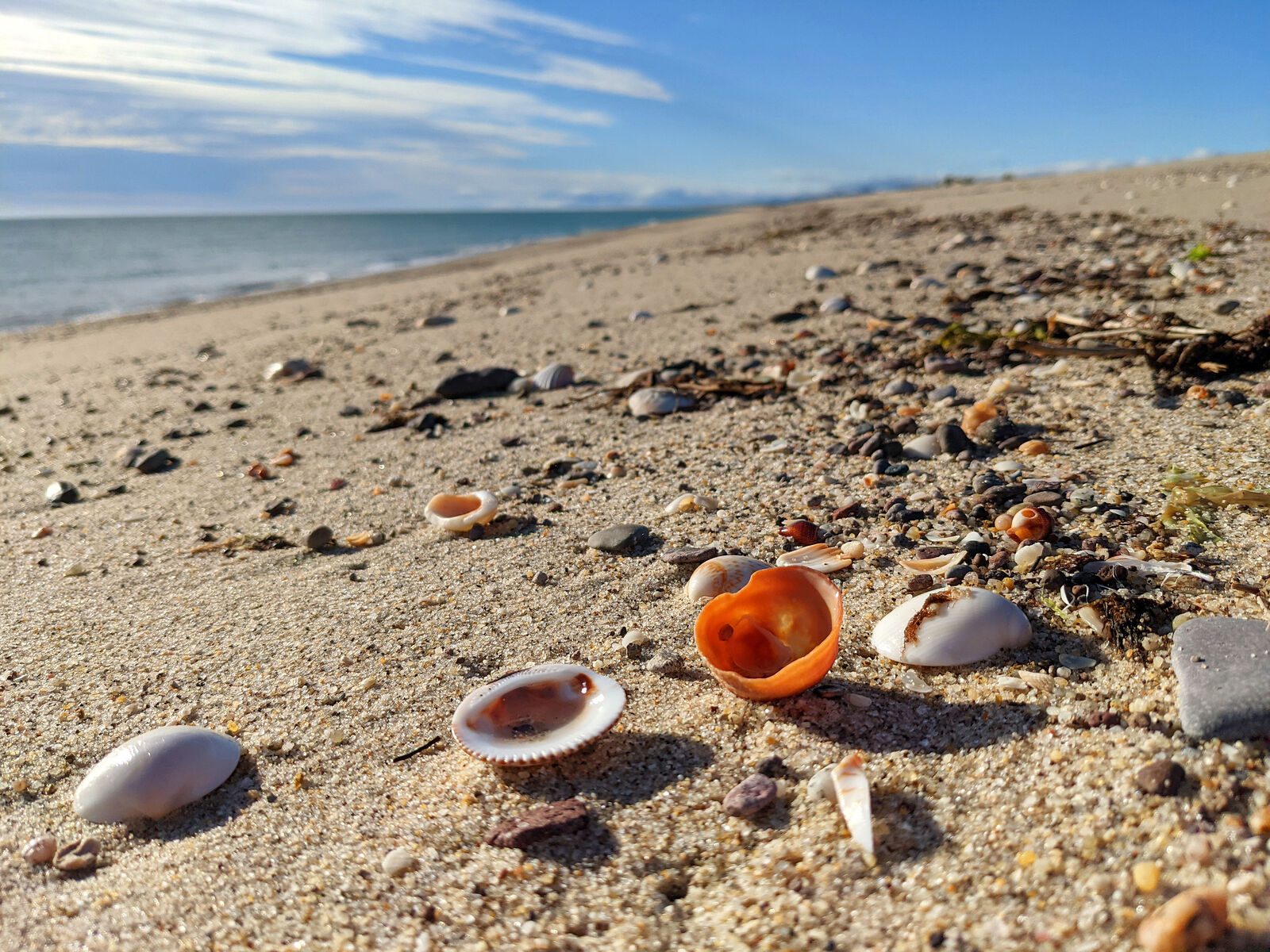
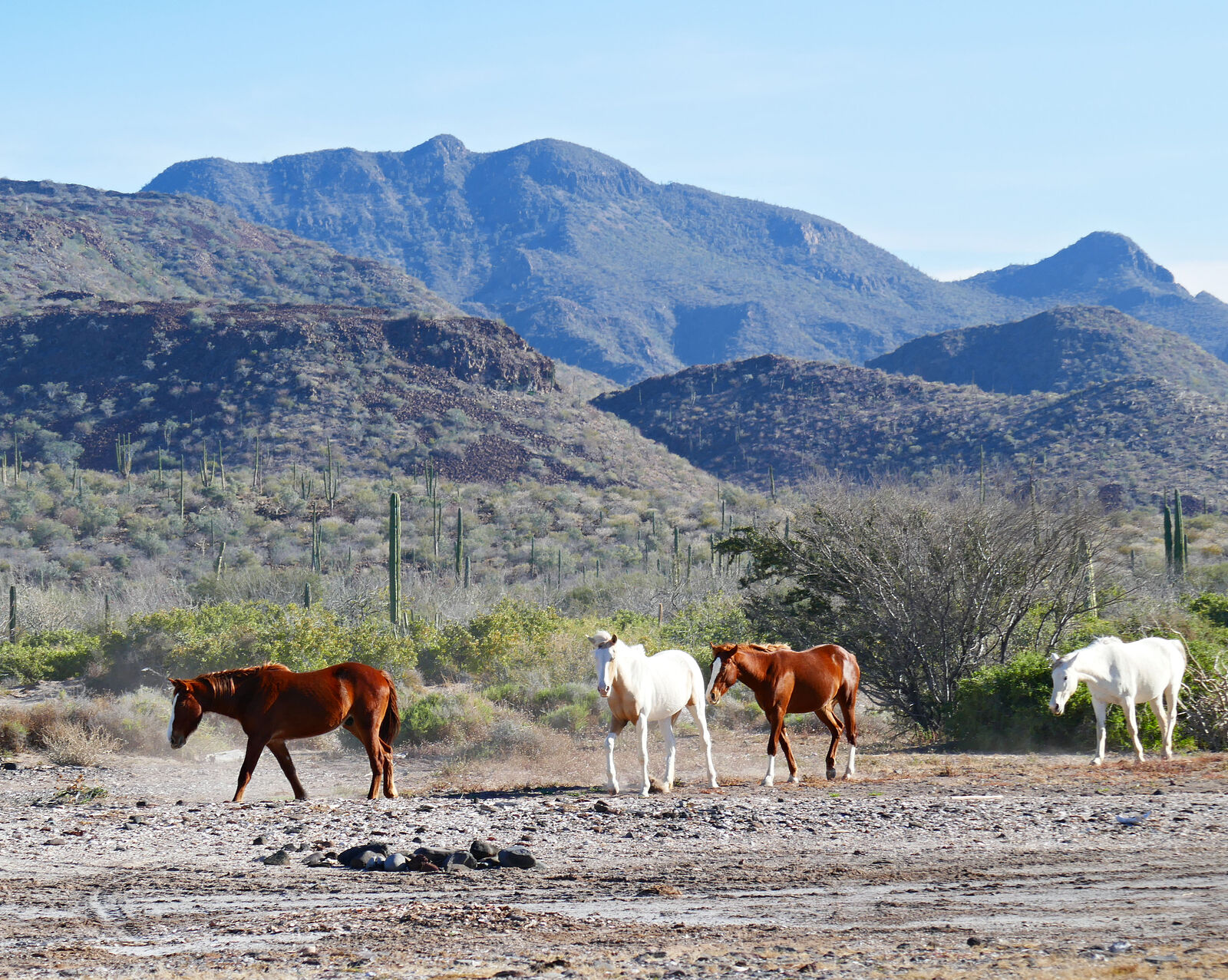
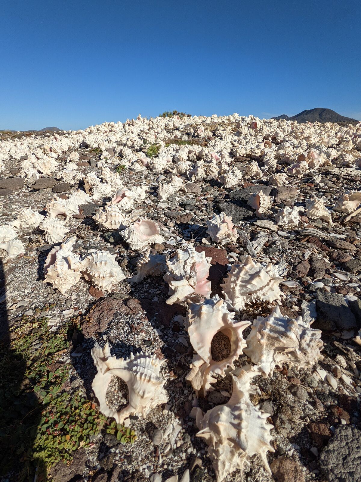
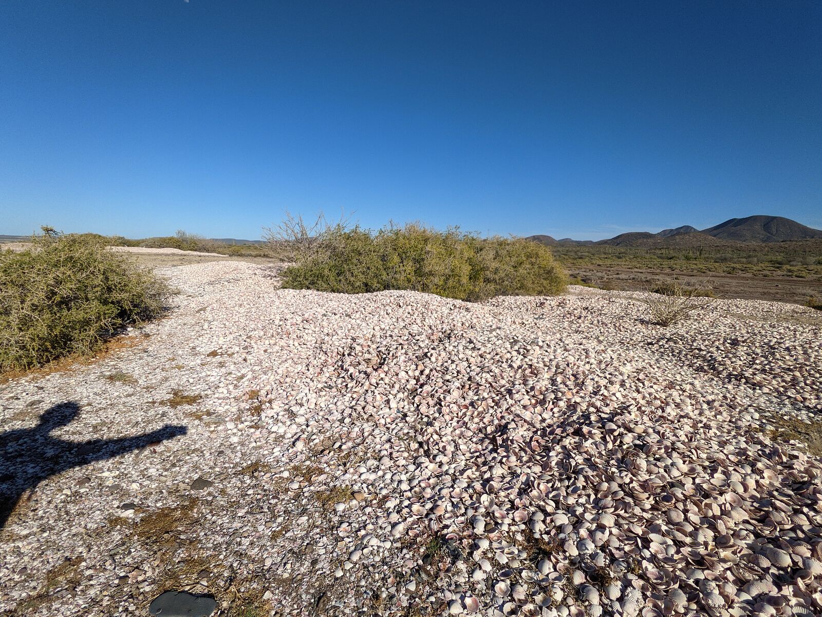
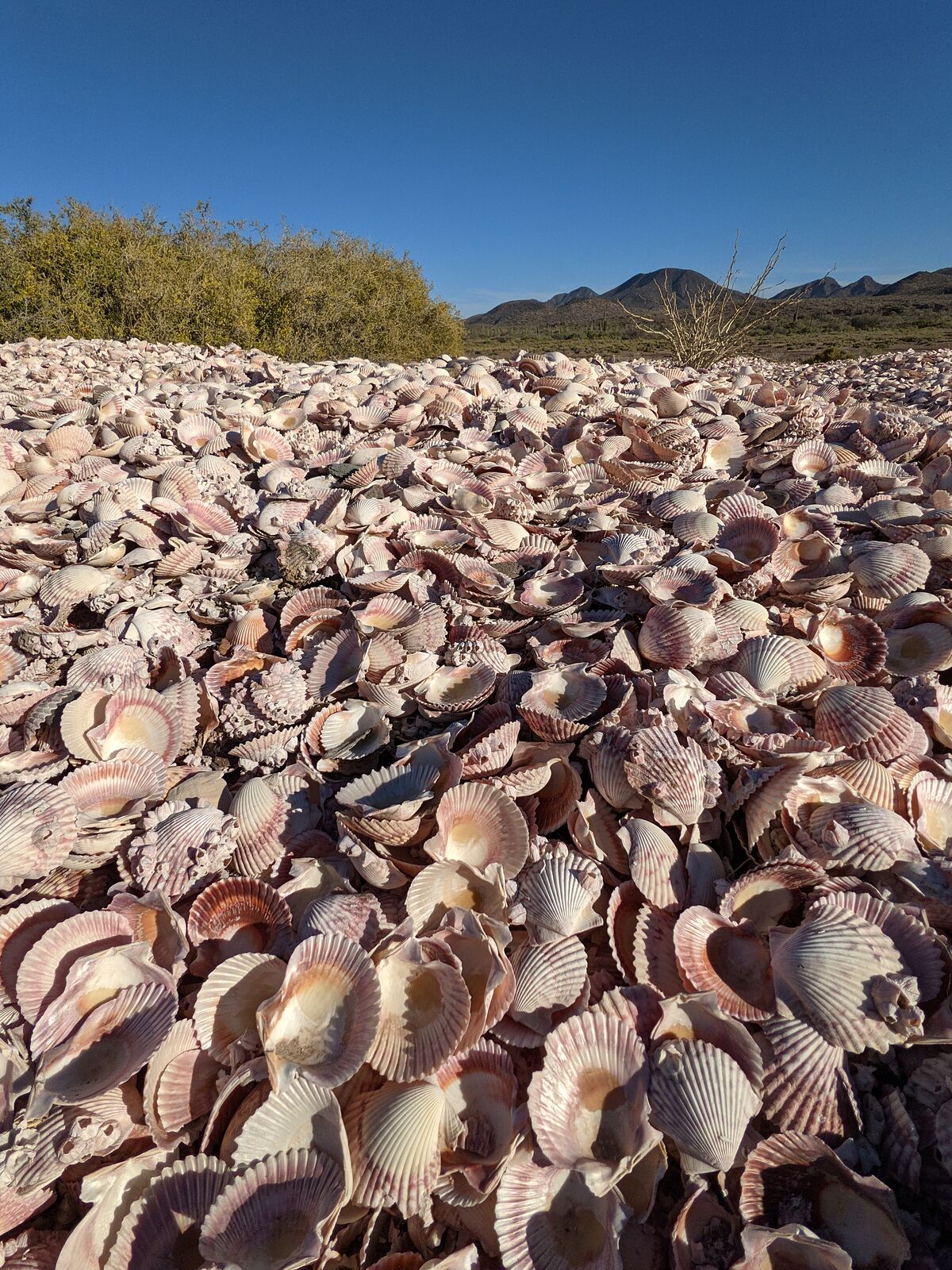
Percebu / Shell Island
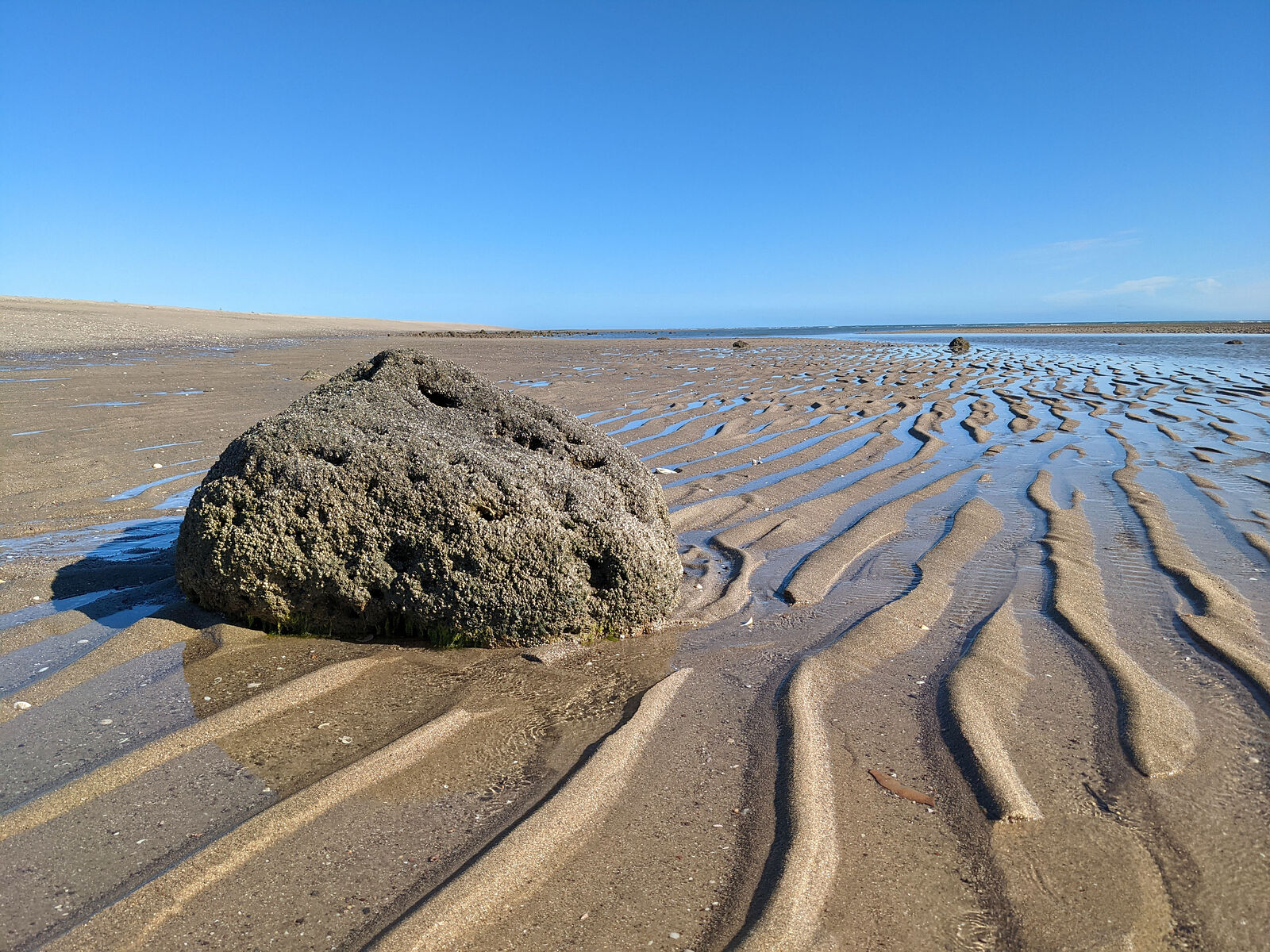
I usually like to spend my first night after crossing the border into Mexicali on the Percebu sand bar ("Shell Island"), just south of San Felipe.
(GPS:30.7831,-114.7005)
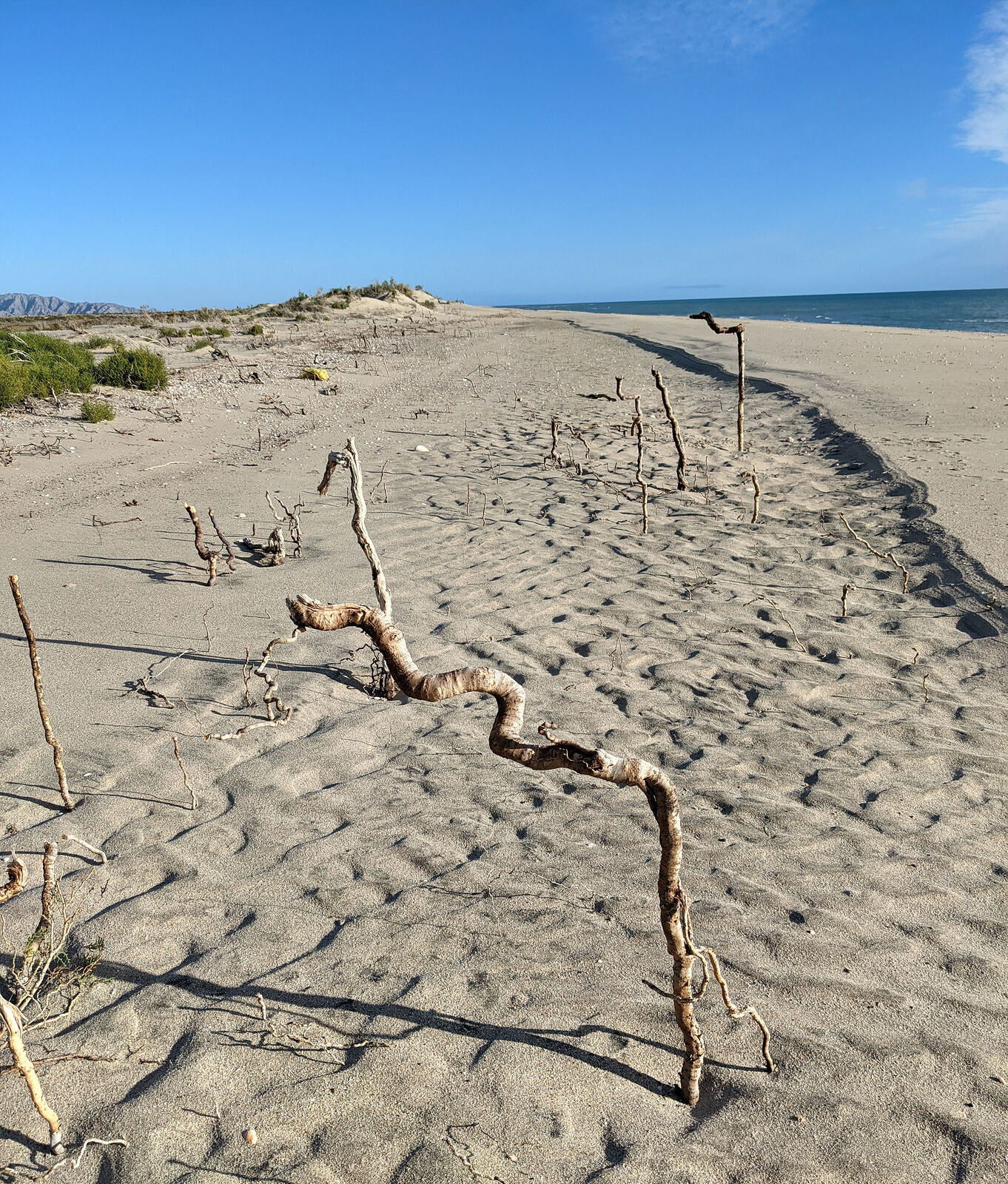
Last year's storm left its mark. I noticed some dunes had been washed away. Only the deep tap roots remained as ghosts of the missing dune plants.
Someone created an elaborate bit of art using shells on the old access road's bridge.
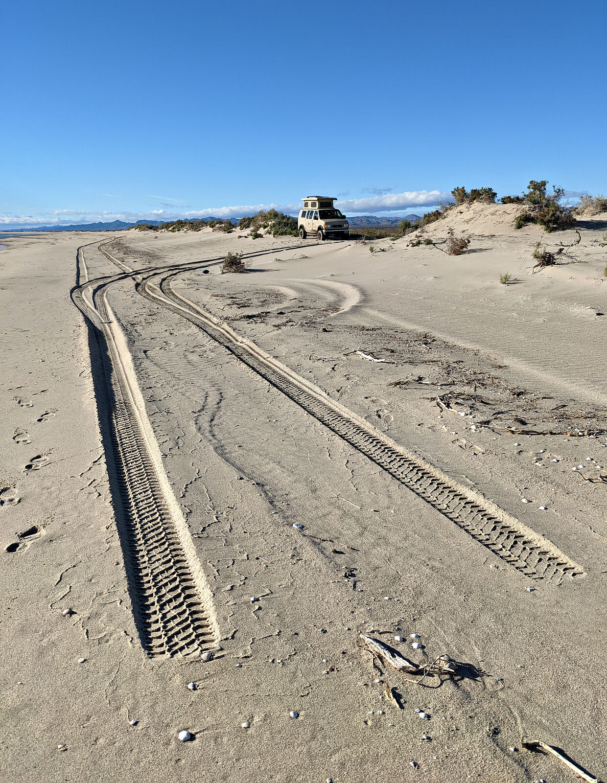
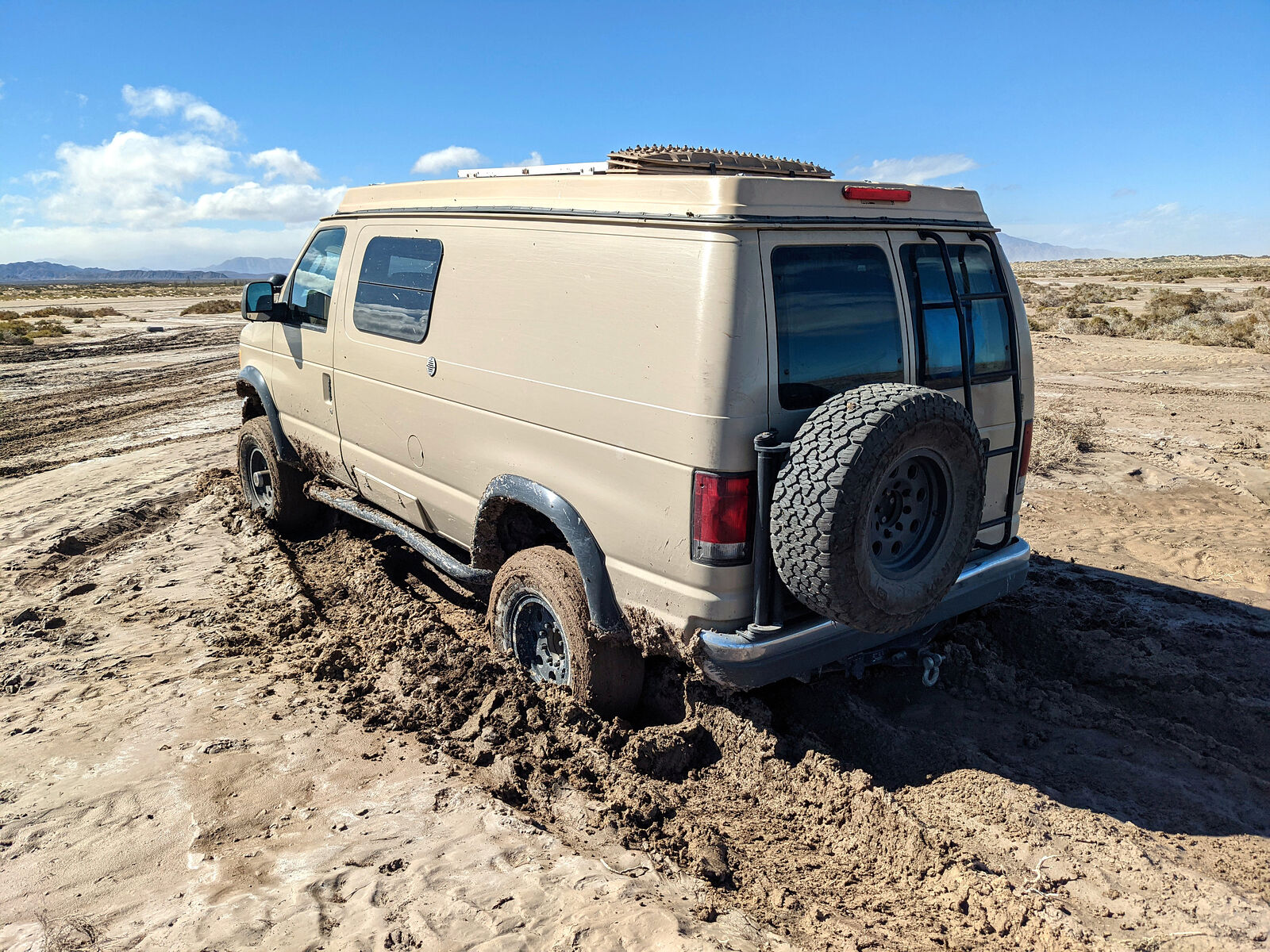
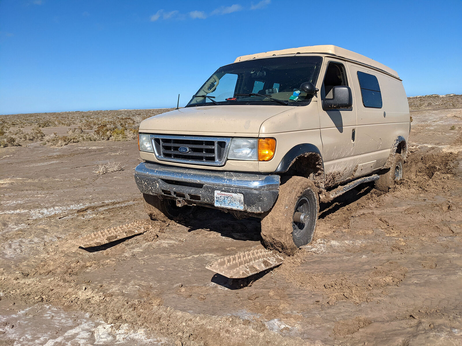
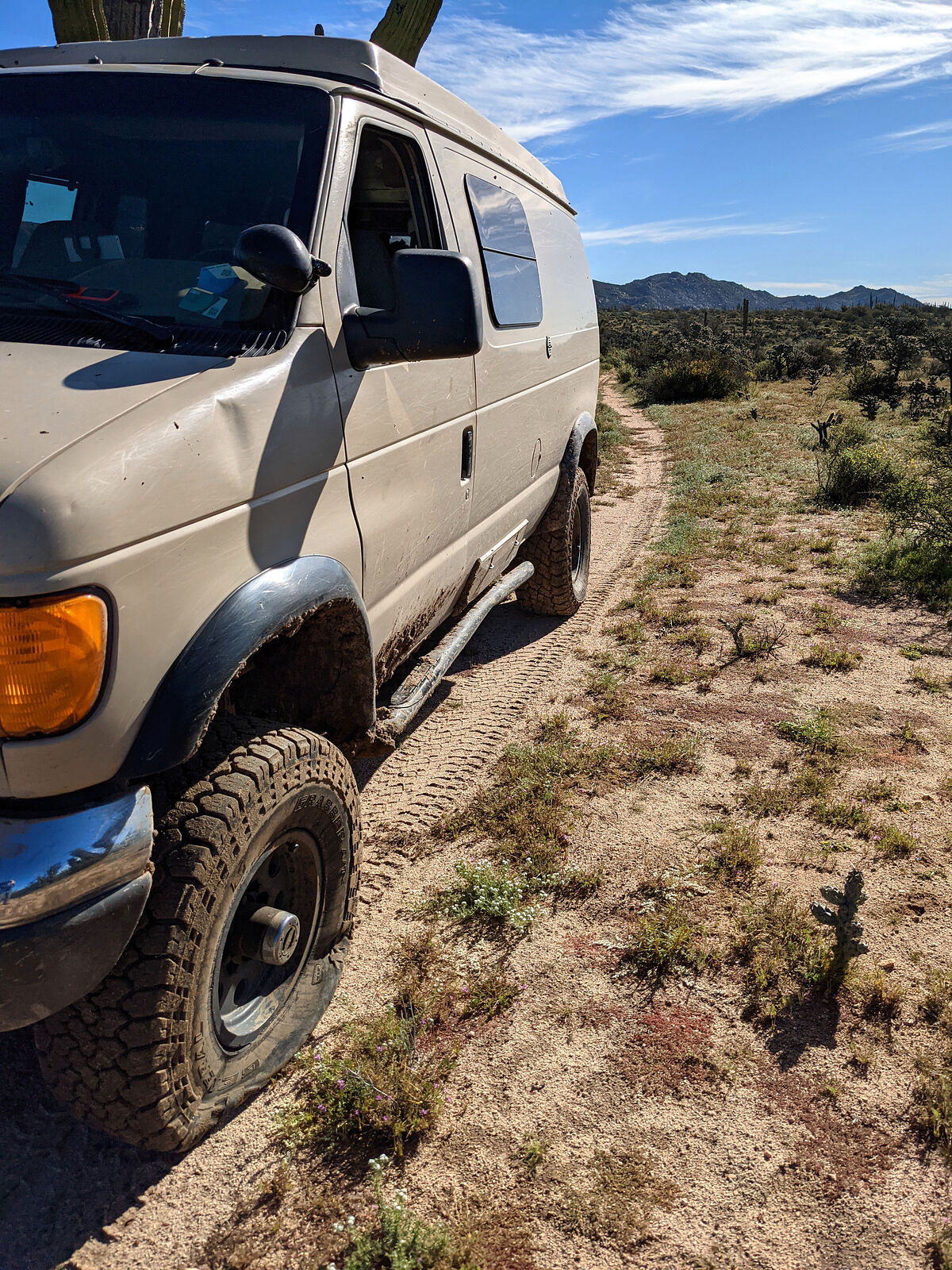
Speaking of access road, it was all very muddy from recent rains. I made it in to the beach fine, but I was a bit reckless on my way out. I picked a
muddy path and didn't get up enough momentum. Stuck! Luckily I was out in a few minutes using my Maxtrax. My shoes weren't so lucky.
|
|
|
geoffff
Senior Nomad
Posts: 710
Registered: 1-15-2009
Member Is Offline
|
|
Tire Problem
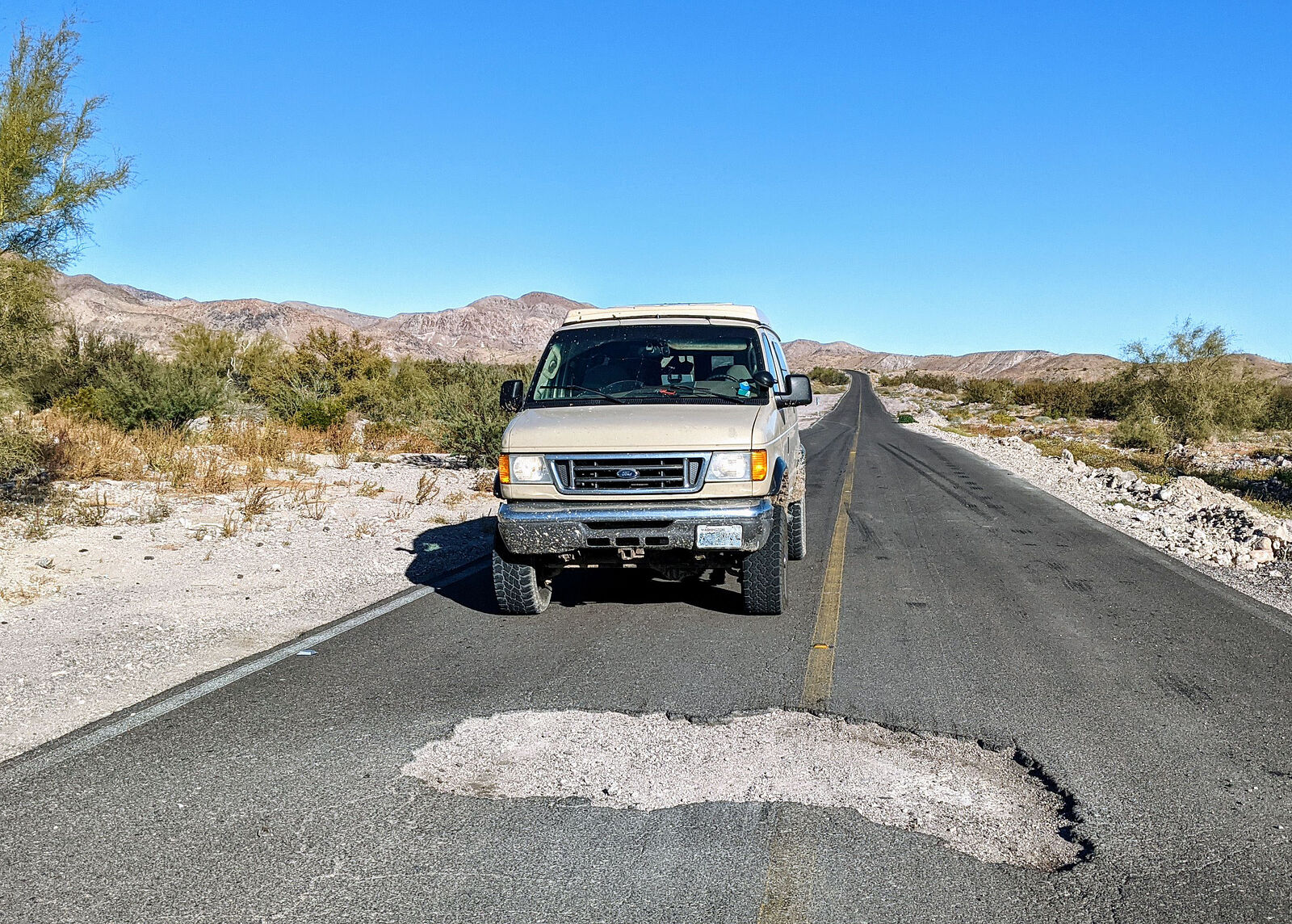
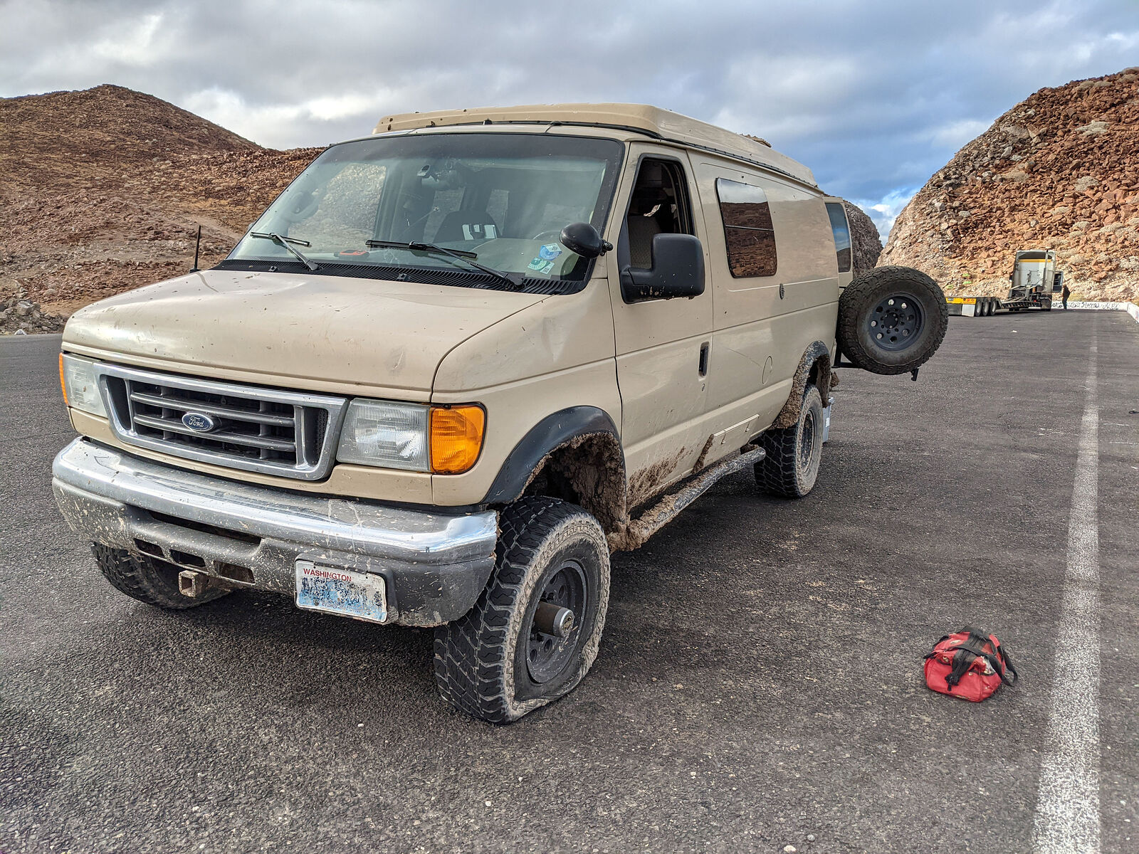
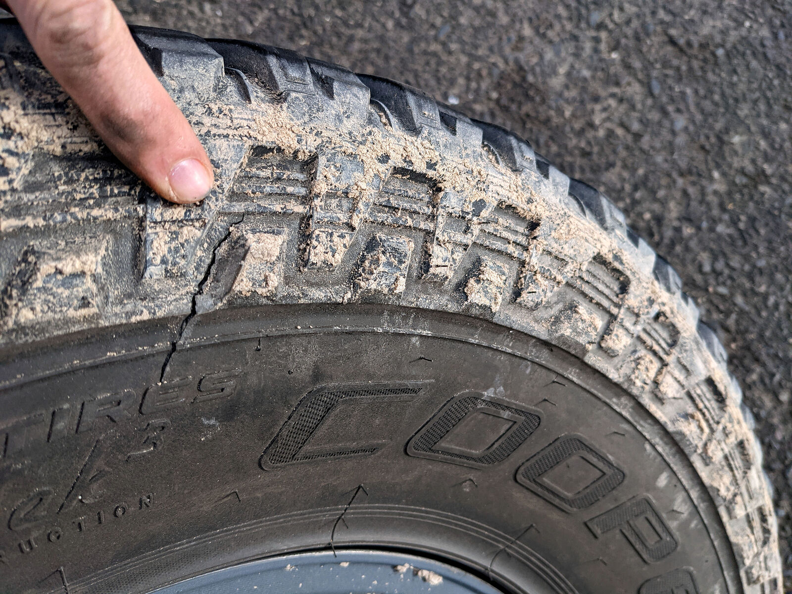
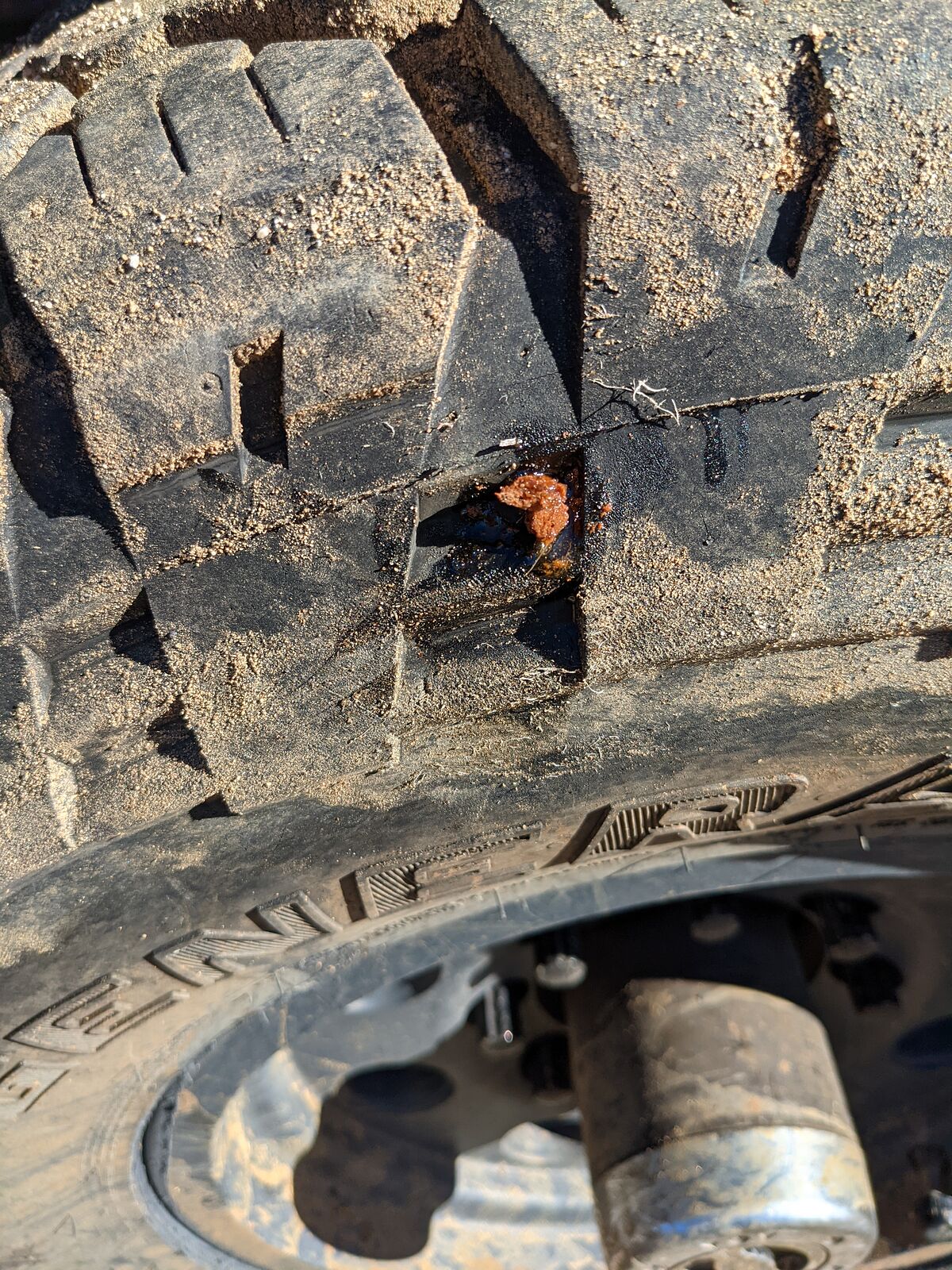
And speaking of being reckless -- I certainly should have known better: The next morning I started cruising south on Highway 5 at 70 MPH, and like an
ignorant fool complacent from too much time sleep-driving on relatively perfect US roads, I let myself get caught off guard by this giant pothole
straddling the middle of the road. BAM!!! Two hours later my left-front tire lost all pressure, and I found I had a big gash on the inner sidewall.
Probably not a coincidence. And I suspect my last-minute attempt at swerving onto the shoulder to avoid that pothole rolled my tire over enough to
allow the inner sidewall to contact the pothole edge.
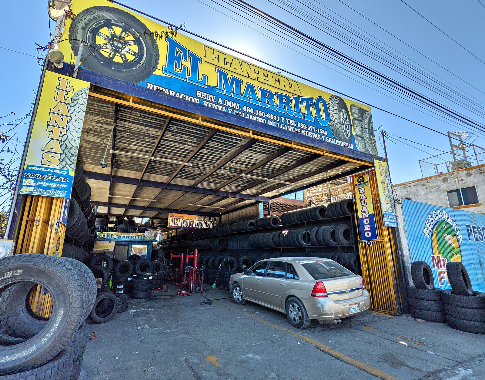
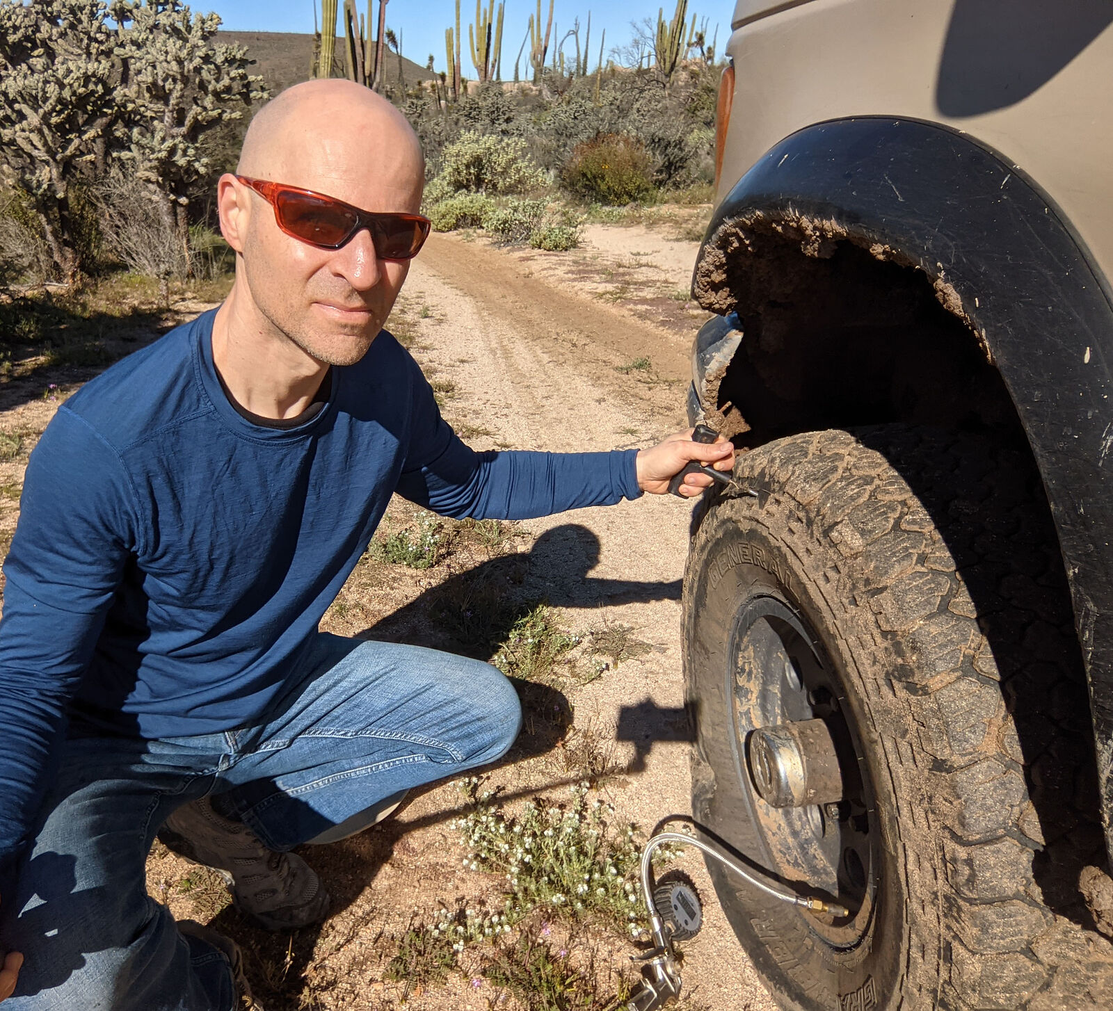
Well, I can't adventure in Baja without a spare tire. So I spent a day driving back up to San Felipe (I hate backtracking) to get my injured tire
repaired -- or at least patched enough for emergency spare purposes. The tire shop Llantera El Marrito was great! I was in and out of there in
minutes, and the cost was minimal. Yes, I stopped to take a reenactment photo at the pothole!
[Edited on 4-3-2023 by geoffff]
|
|
|
geoffff
Senior Nomad
Posts: 710
Registered: 1-15-2009
Member Is Offline
|
|
Rancho Codornices / San Antonio
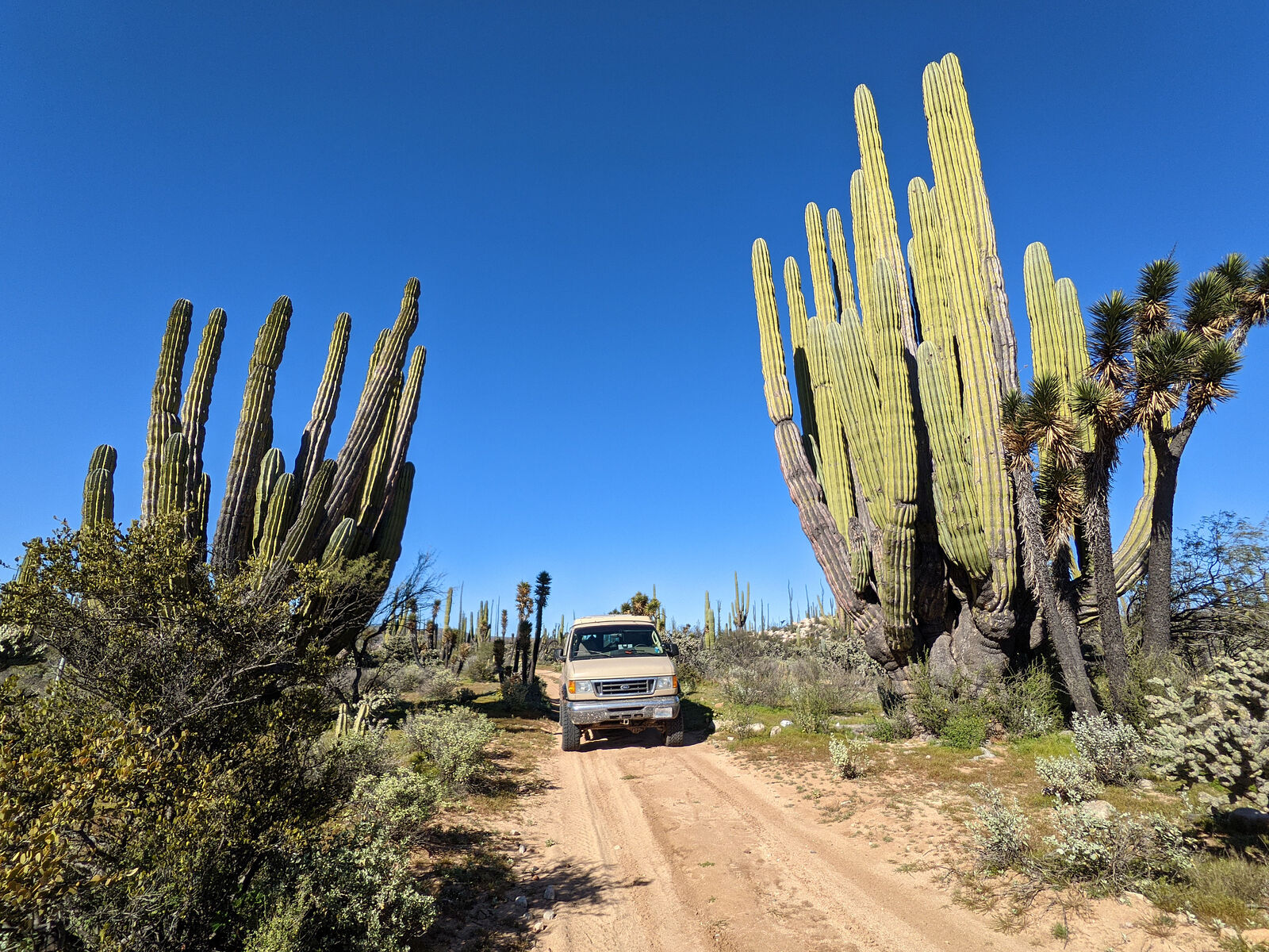
My first destination was some rock art I had read of near the site of former rancho Codornices (now called "San Antonio" on maps).
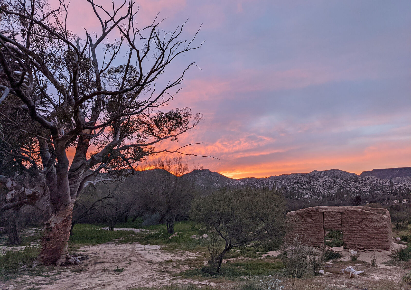
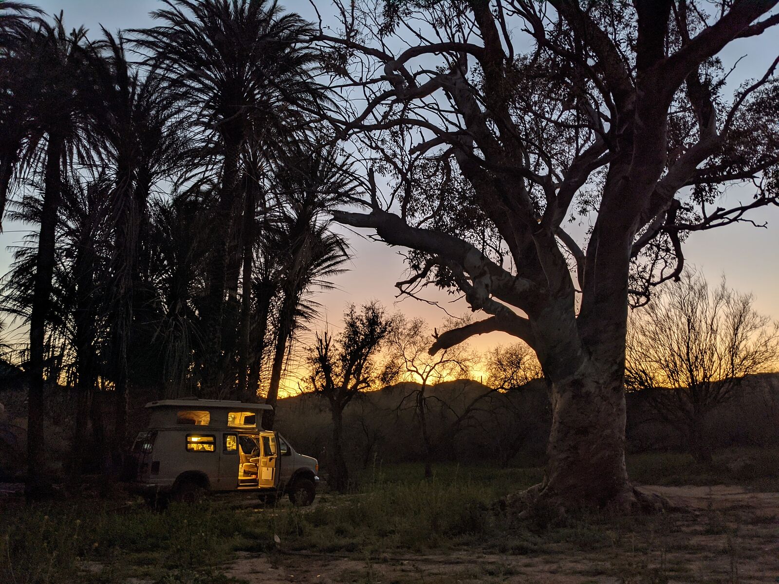
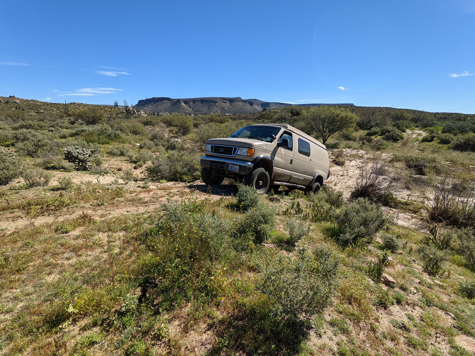
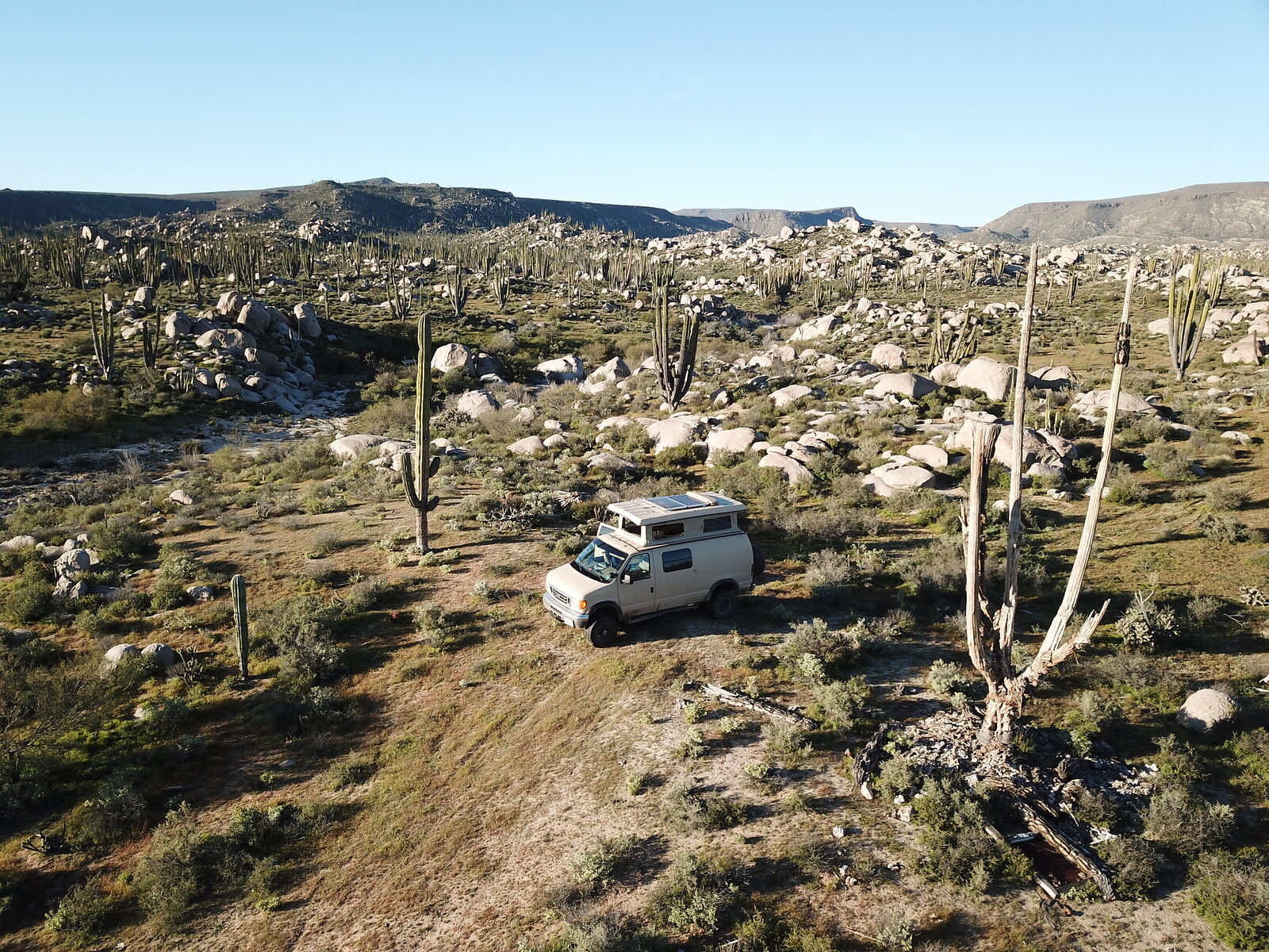
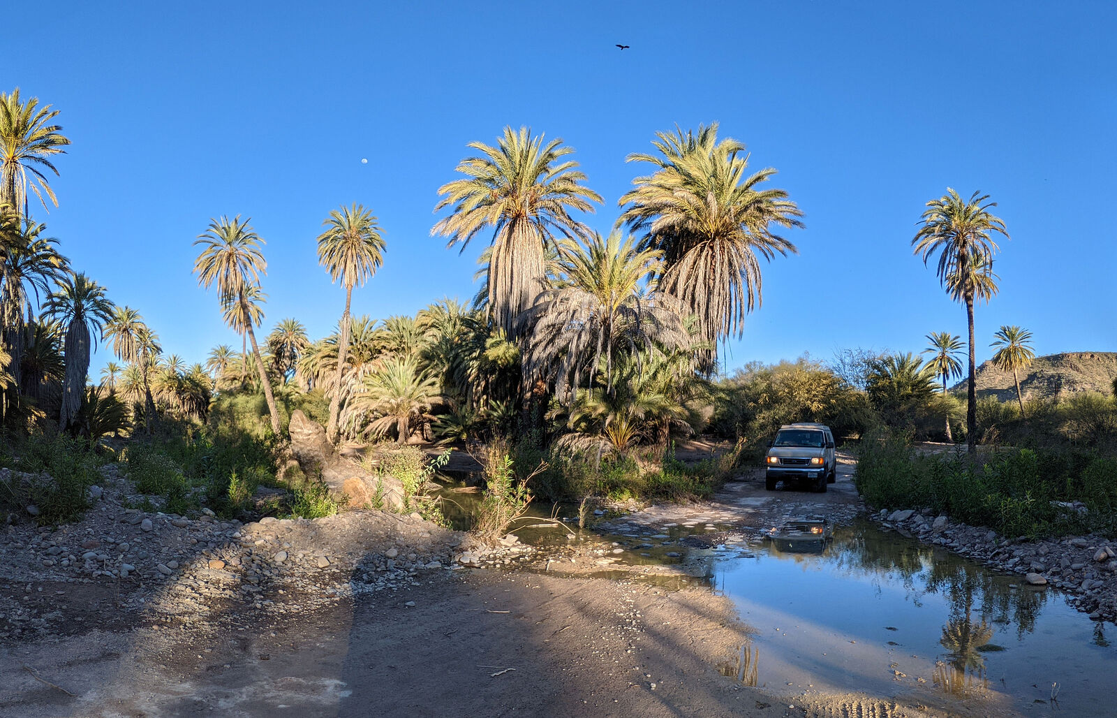
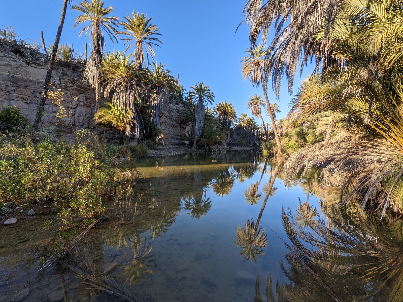
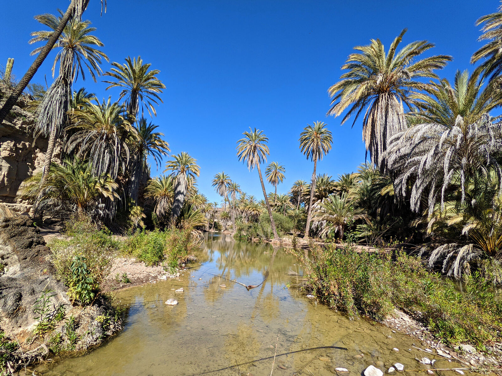
I arrived in the evening, and spent my first night there at the abandoned rancho Codornices site. (GPS:29.1960,-114.3170) This is a scenic lush green
oasis with palm trees, and the shade of a big old eucalyptus tree. Next to me were the melting mud walls of an adobe building. I kept myself busy
exploring the local boulder-covered hills, taking photos. The site is mostly free of trash -- only some very rusty cans localized to one area. No
plastic in sight.
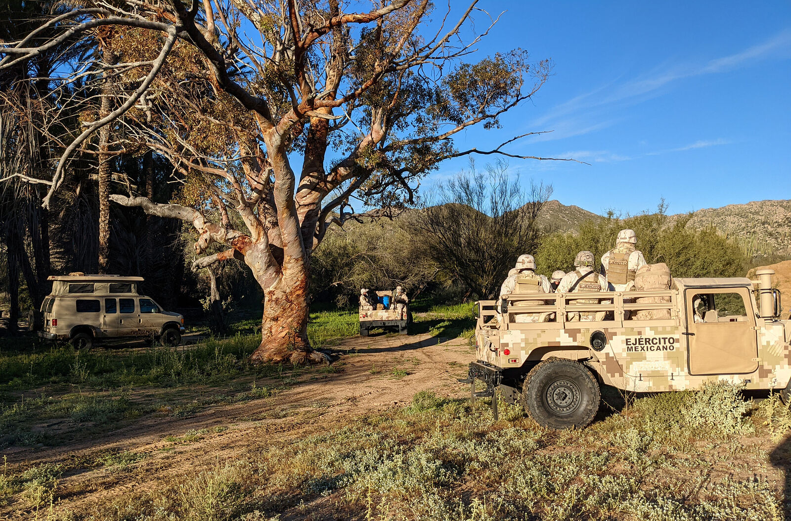
The next morning, the Mexican army arrived.
I was standing around outside, watching the sun rise, coffee cup in hand, when I heard the sound of engines off in the distance. A few minutes later,
two hummers rolled in -- with about 15 soldiers and their guns!
The Mexican army guys were very friendly. Their commander spent the next hour or so chatting with me, putting up with my horribly basic Spanish. I
learned that the soldiers are not local guys from Baja. They are brought in from all parts of Mexico. I learned that the army patrols this area
monthly looking for drug smugglers. There is an illicit runway nearby. (GPS: 29.2209,-114.3999)
The army guys warned me about a "dangerous" area nearby I shouldn't go visiting. (GPS: 29.2637,-114.3222) I wondered: in what way "dangerous"? But my
Spanish wasn't good enough to discern such nuances. They also warned me of pumas living in the area.
At some point I started giving them a little tour of my camper van. Suddenly the commander perks up and asks me: Hey, can we take some photos? Sure,
why not! Then he calls over one of his underlings. This soldier comes over and starts poking around my van, opening panels and hams it up striking
exaggerated "drug search" poses while his commander takes pictures! I was a bit caught off-guard, and had to quickly think whether I did actually have
anything I didn't want found! After this drug search theater was over, the commander asked for my ID so he could complete the official paperwork.
======================================================
Codornices Rock Art
I had read here on Baja Nomad, and also in this paper https://www.academia.edu/43239233/Rancho_Codornices_Great_Mu... about rock art near rancho Codornices. Though it's actually nearer rancho El
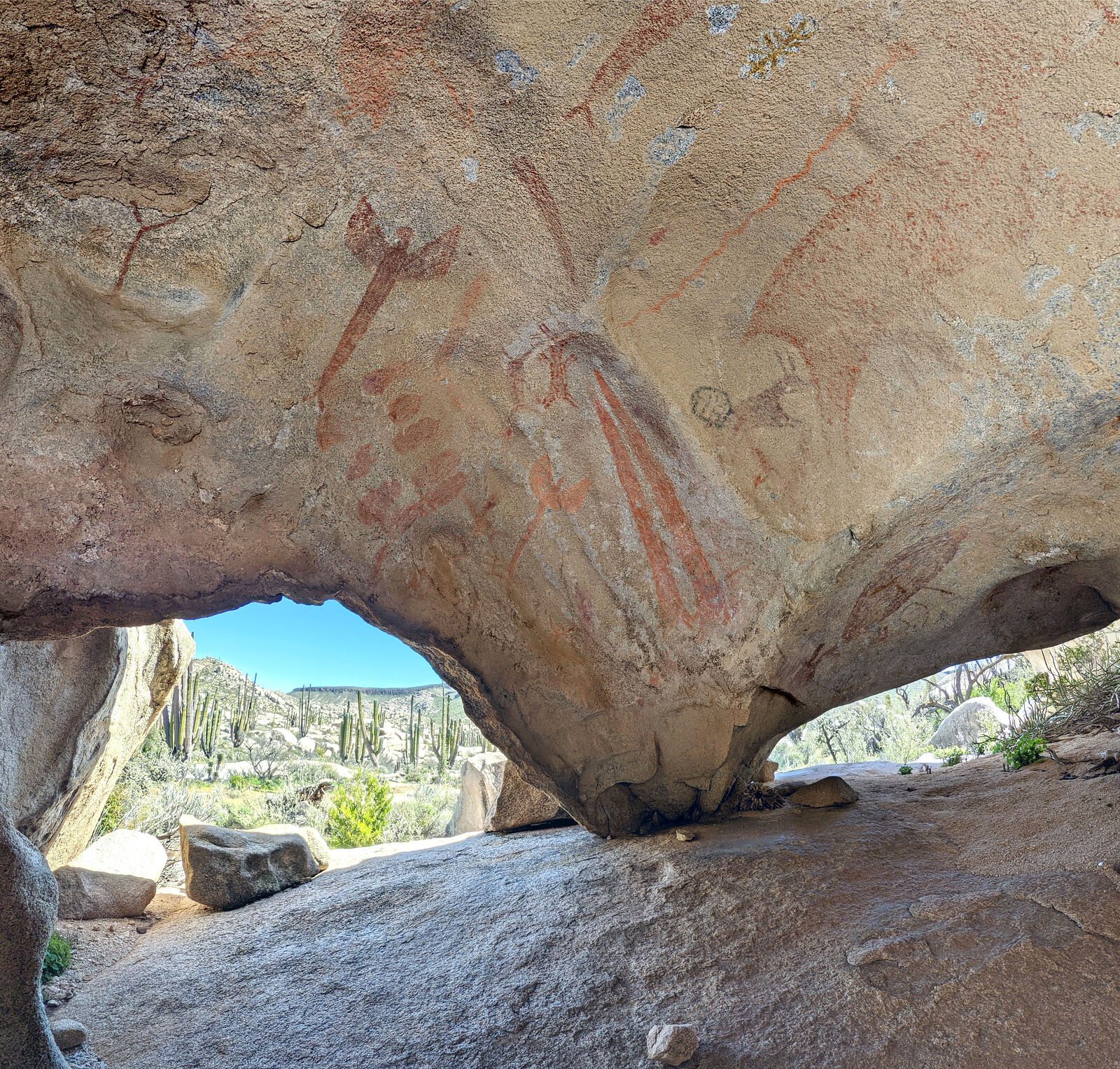
Sauce. (GPS:29.2176,-114.3933) The research paper describes how there are rock shelters among boulders in this area with not only abstract pictographs
(like you see at Catavina) but also paintings of people (aka "monos") and animals in the "Great Mural" style normally only found much further south in
the Sierra de Guadalupe and Sierra de San Francisco areas. Using the clues in this paper, I set out to see if I could find these rock art sites in
person.
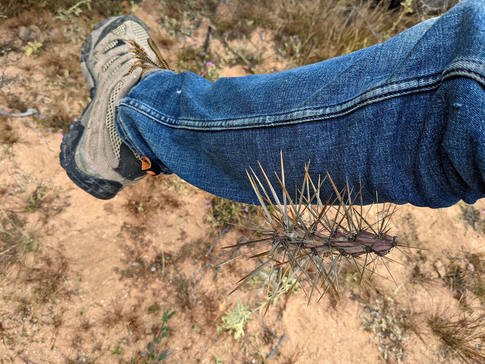
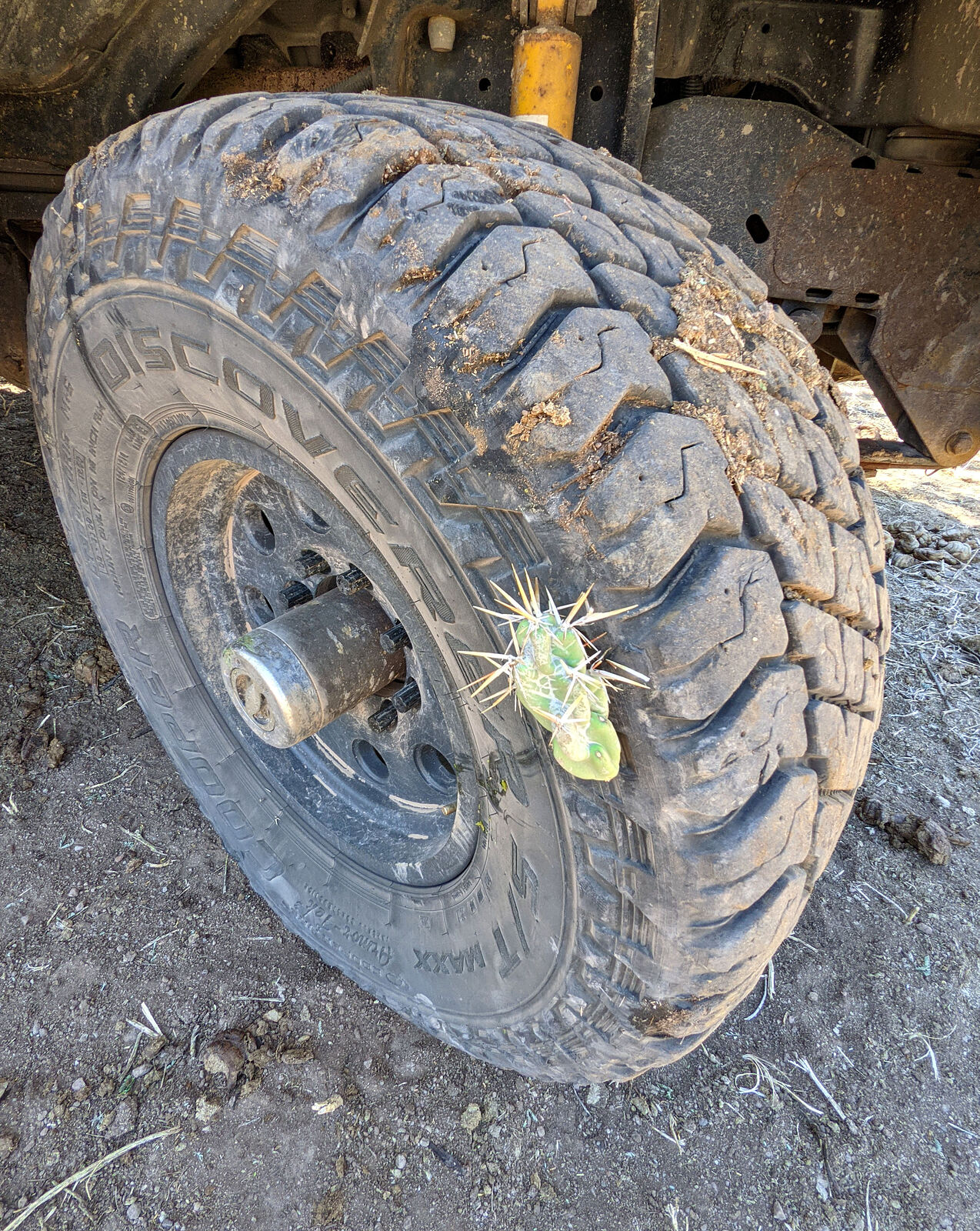
But first -- a quick stop for another scenic tire repair! This time I think it was a cactus spine in the sidewall.
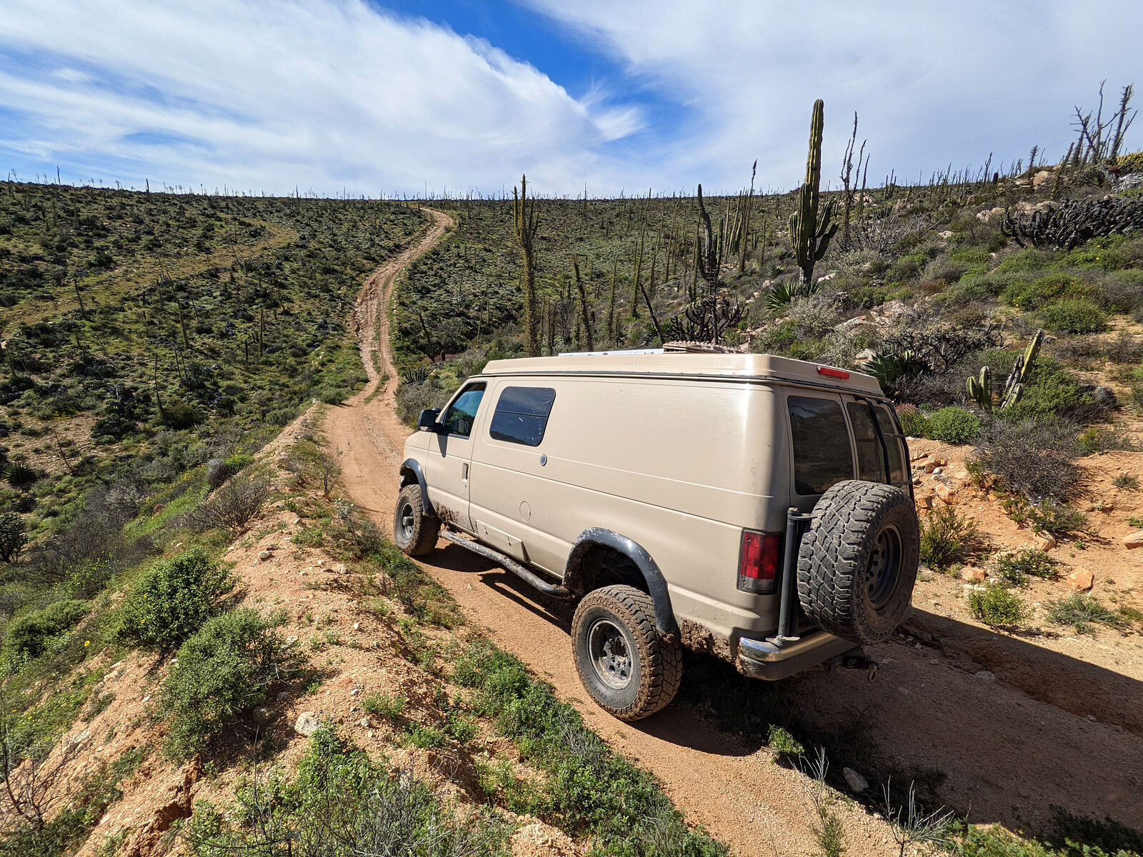
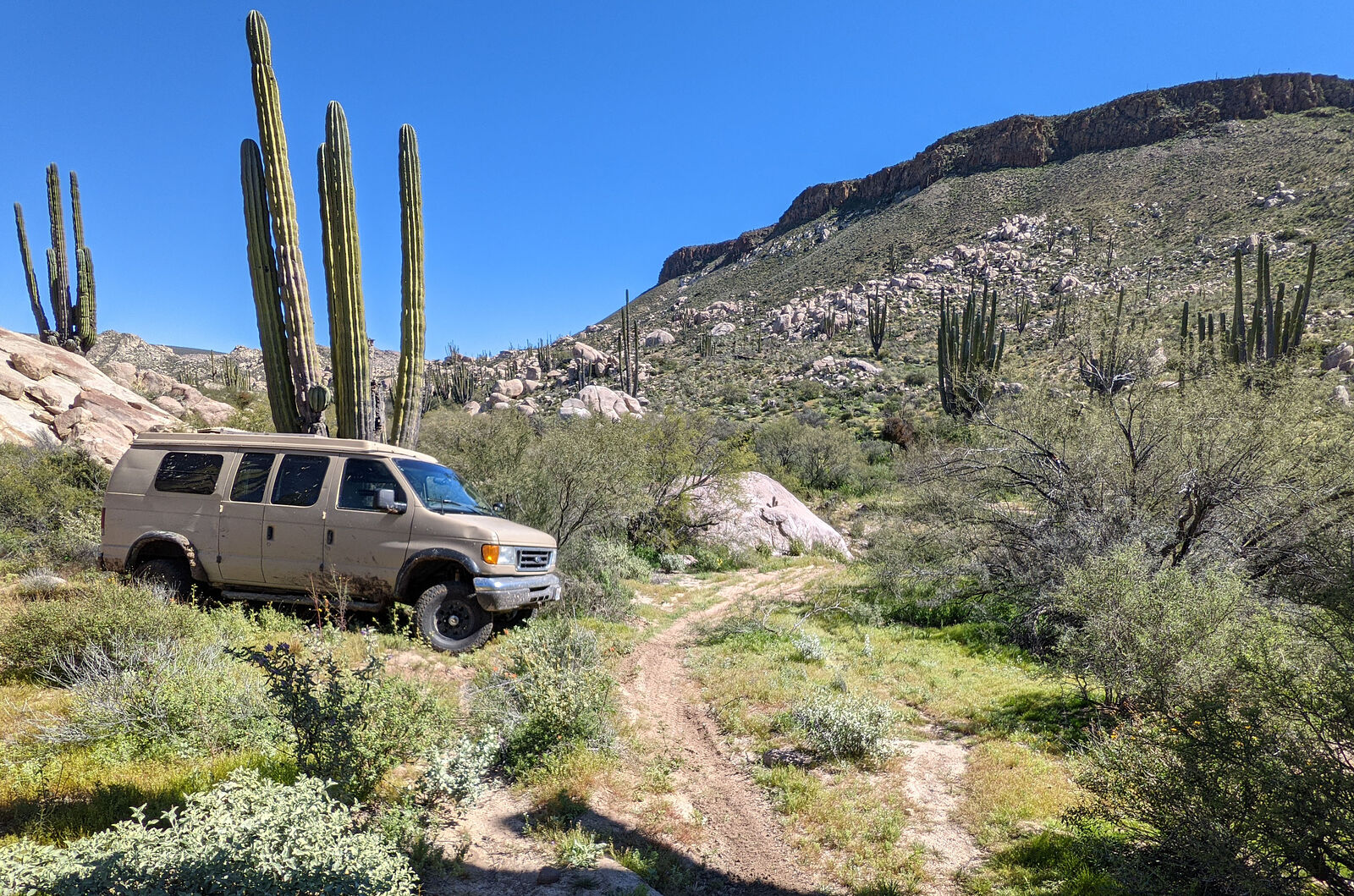
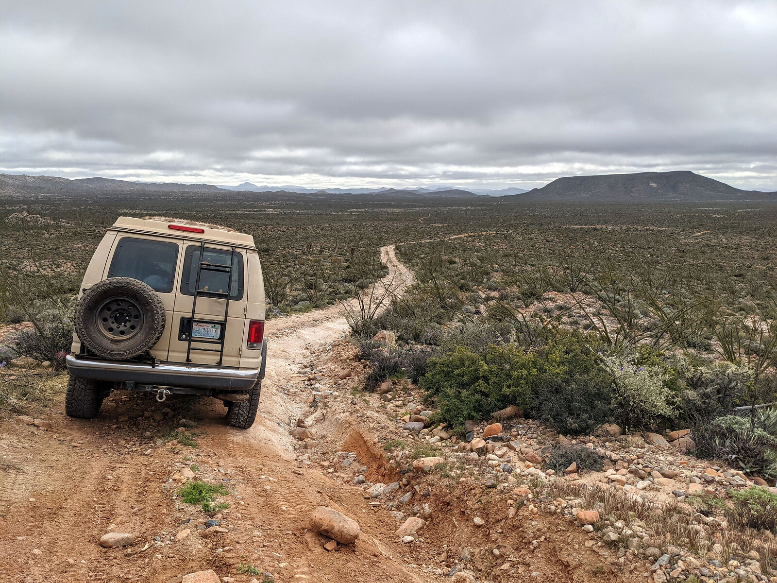
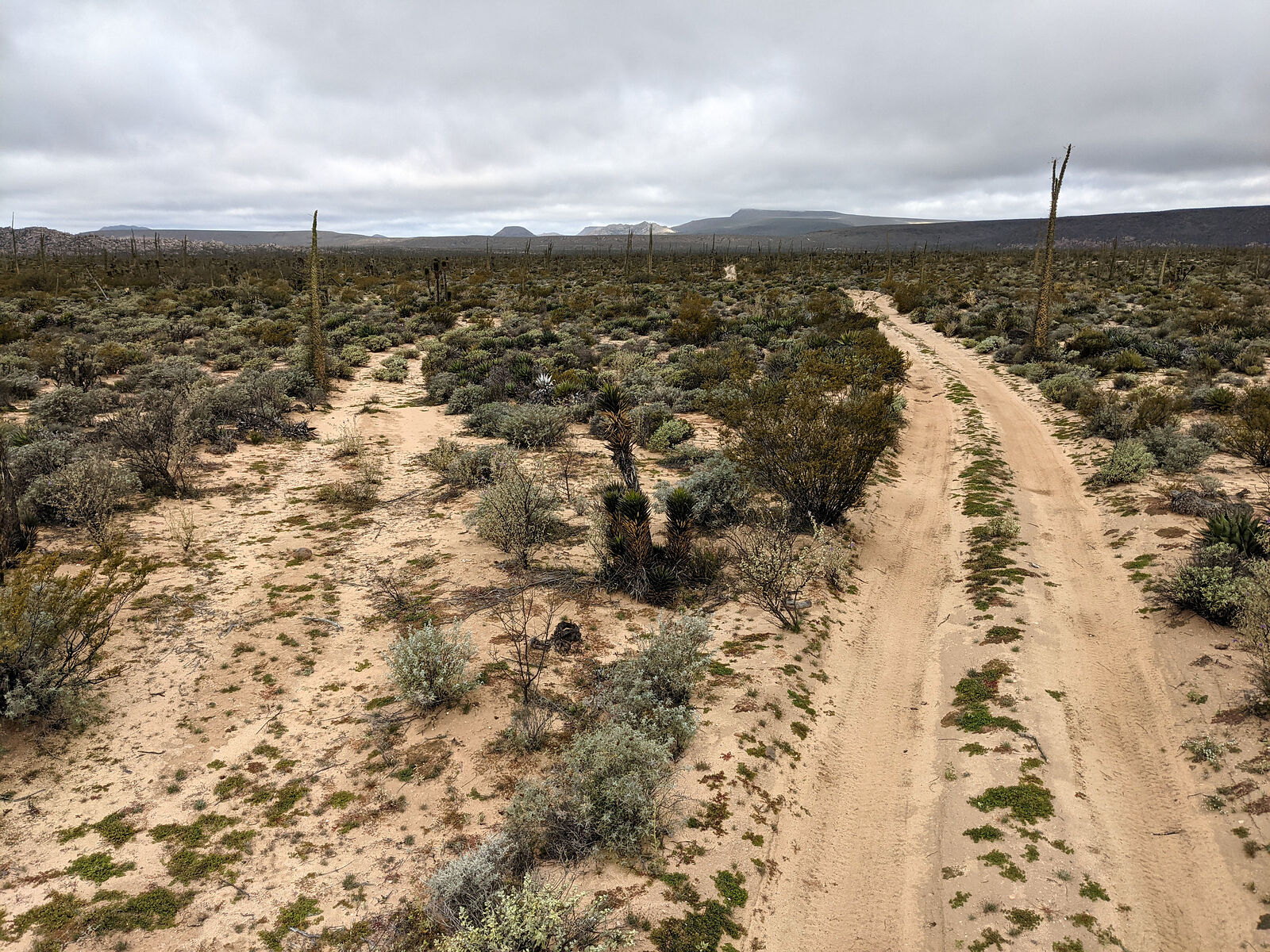
The area is popular with motorcyclists. I followed a well-used motorcycle trail for a while, but at some point it became single track so I had to park
the van and walk.
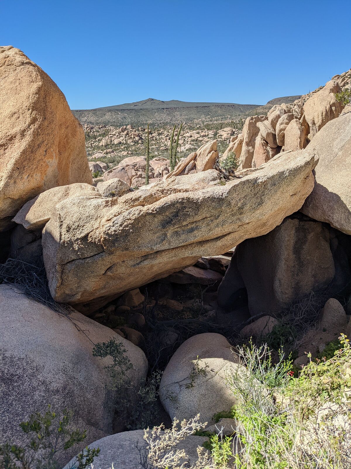
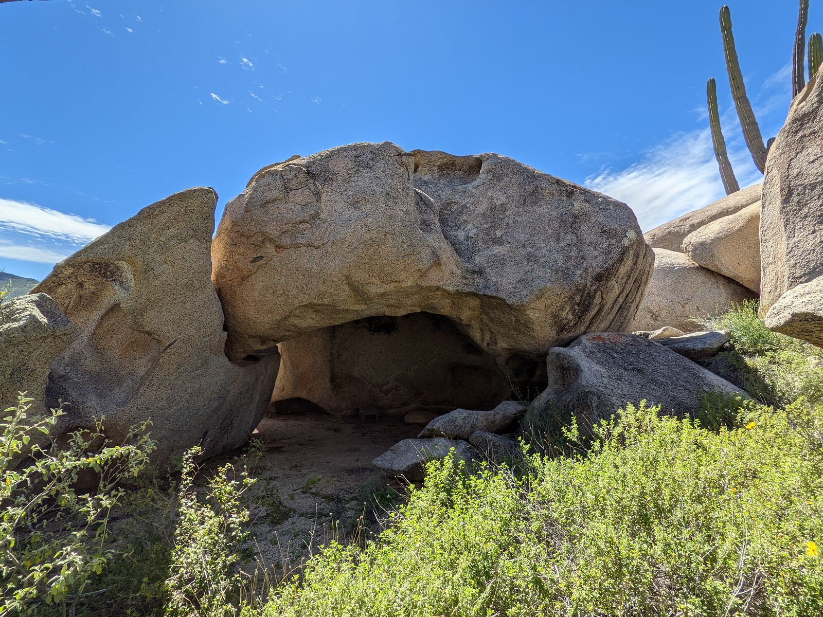
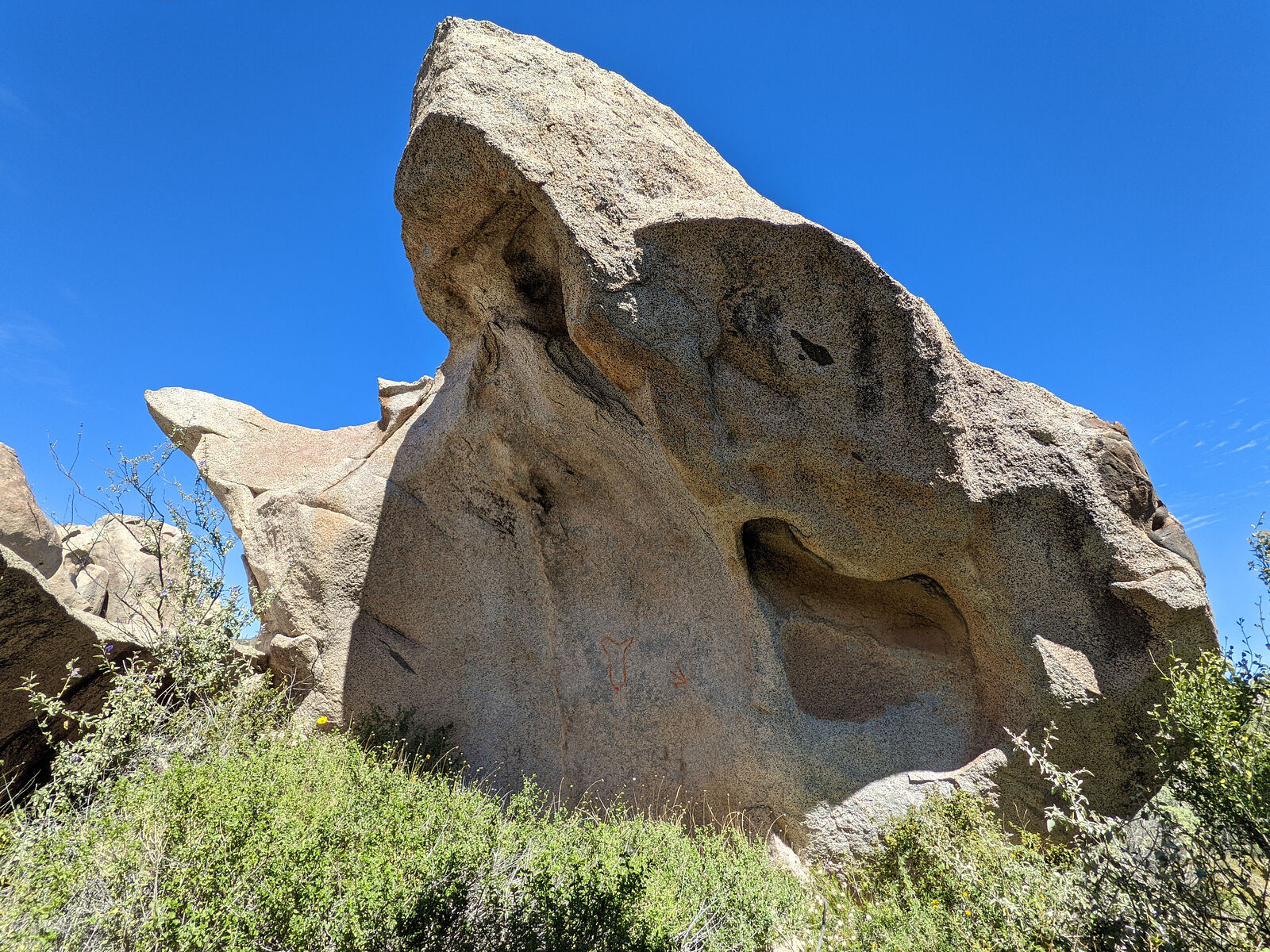
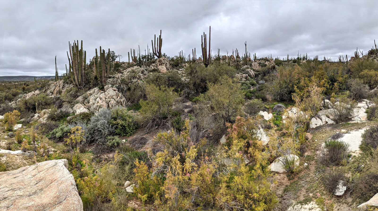
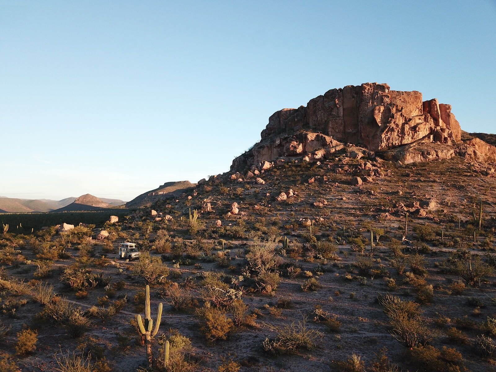
It's beautiful country. I had so much fun having my mission ("looking for pictographs") as an excuse to clamber over and around this boulder
playground! The best part was that I actually *did* find most of the pictographs described in the paper! Some locations were even marked with cairns.
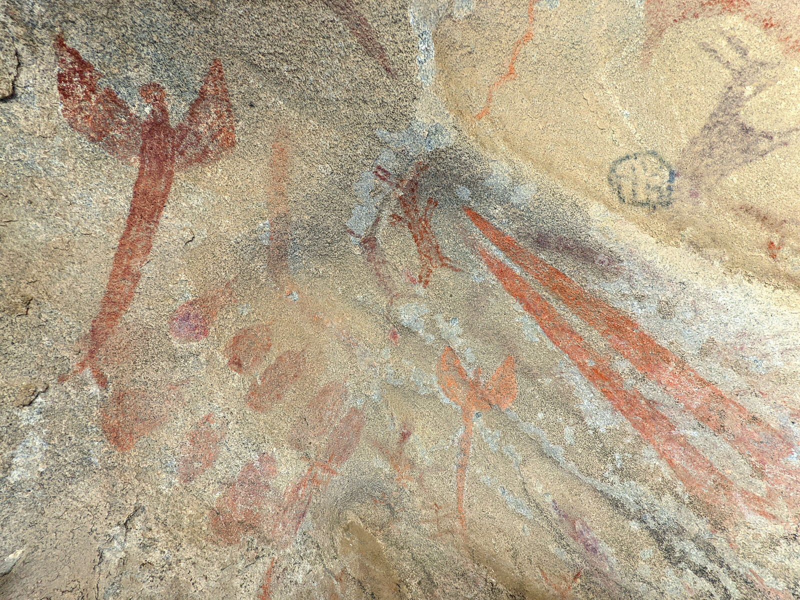
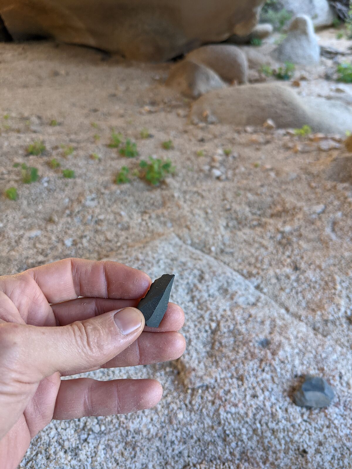
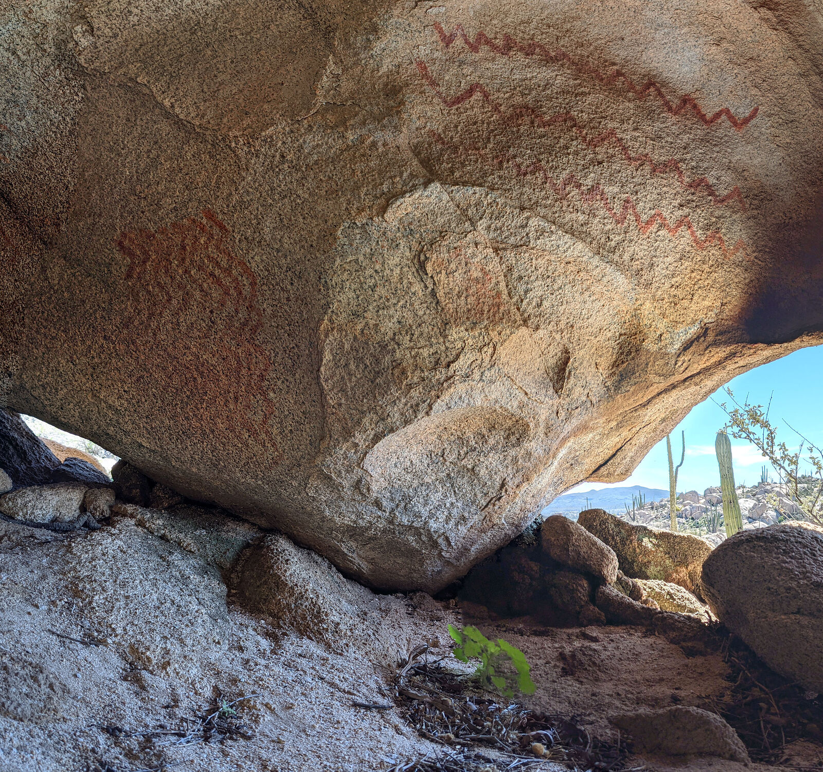
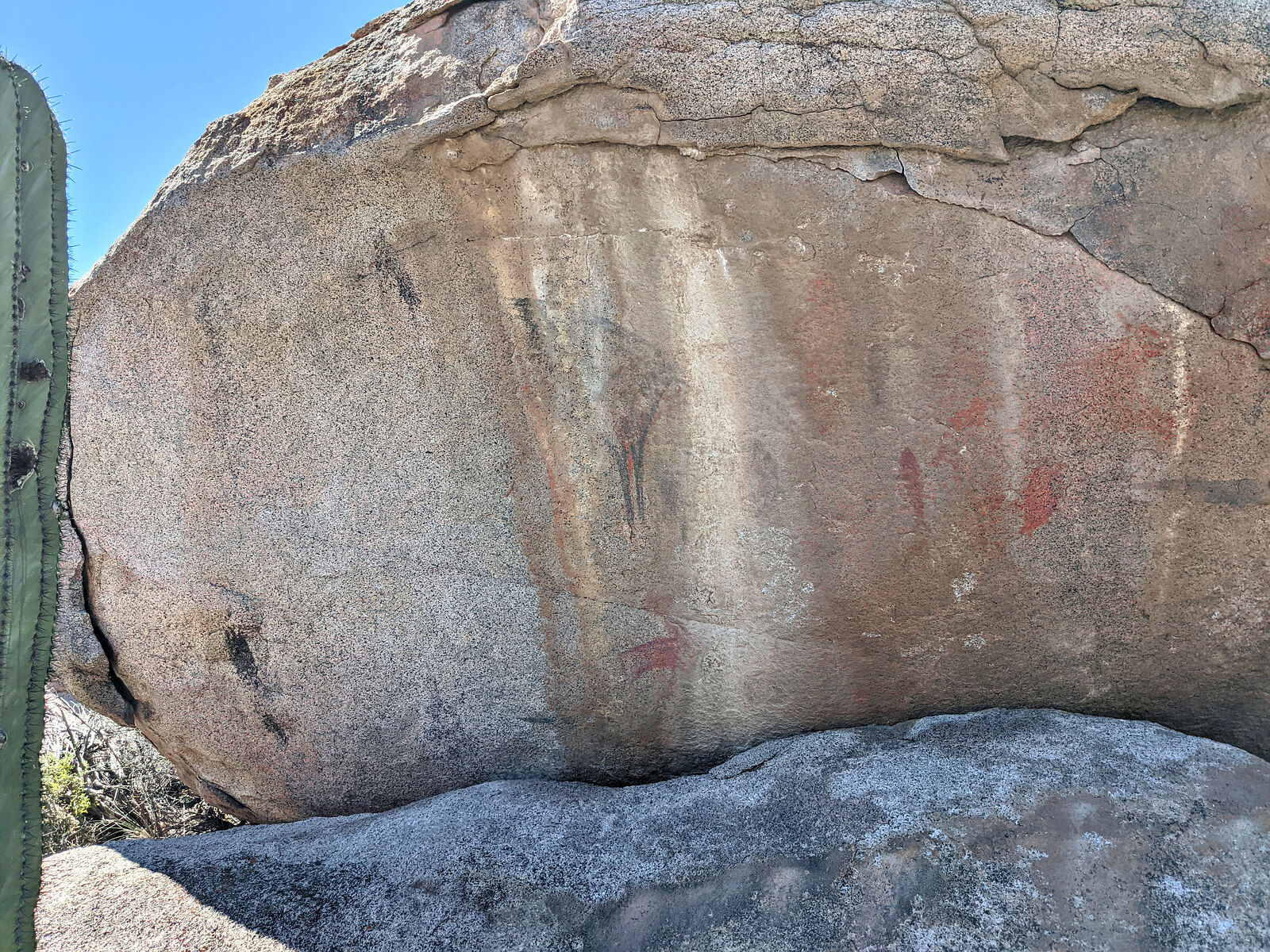
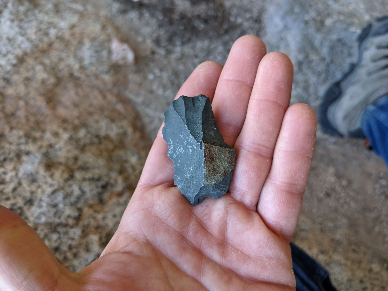
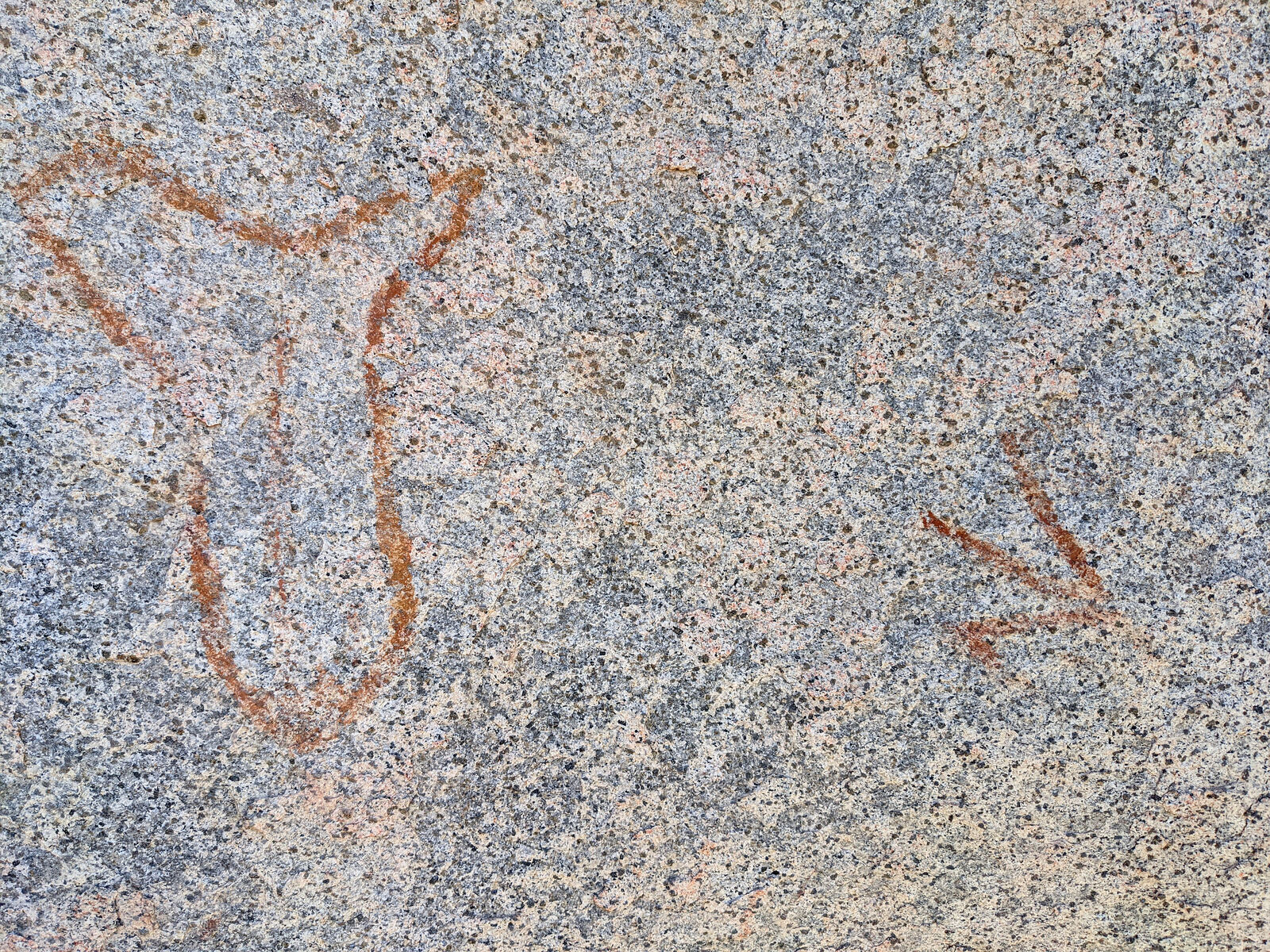
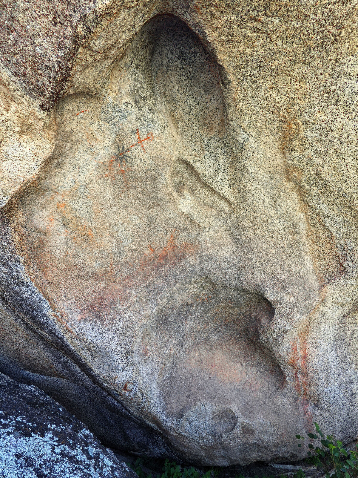
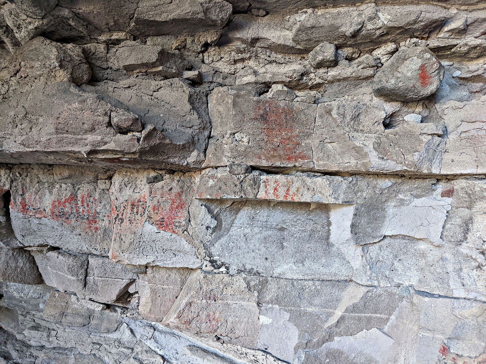
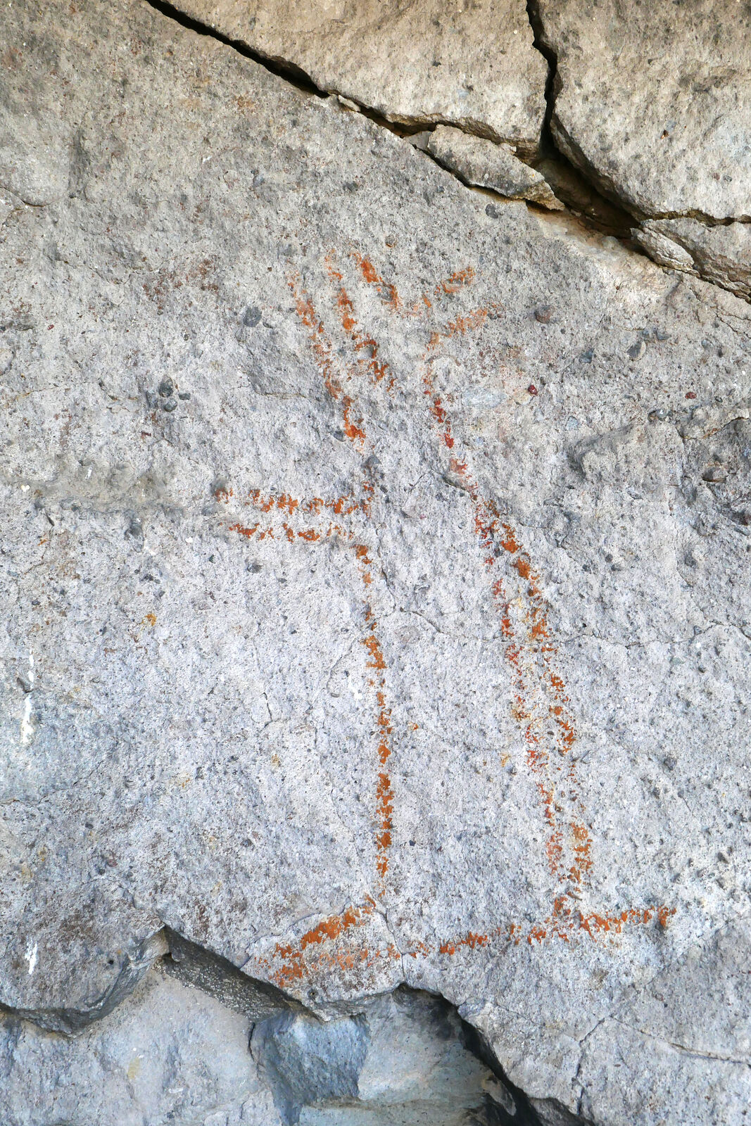
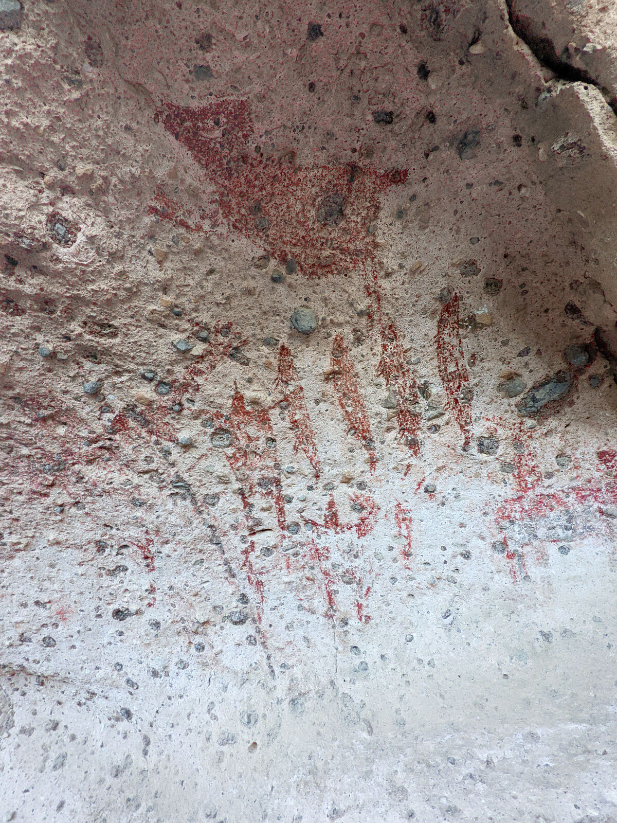
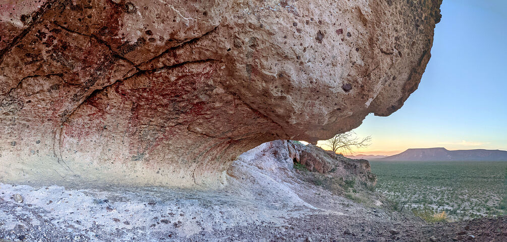
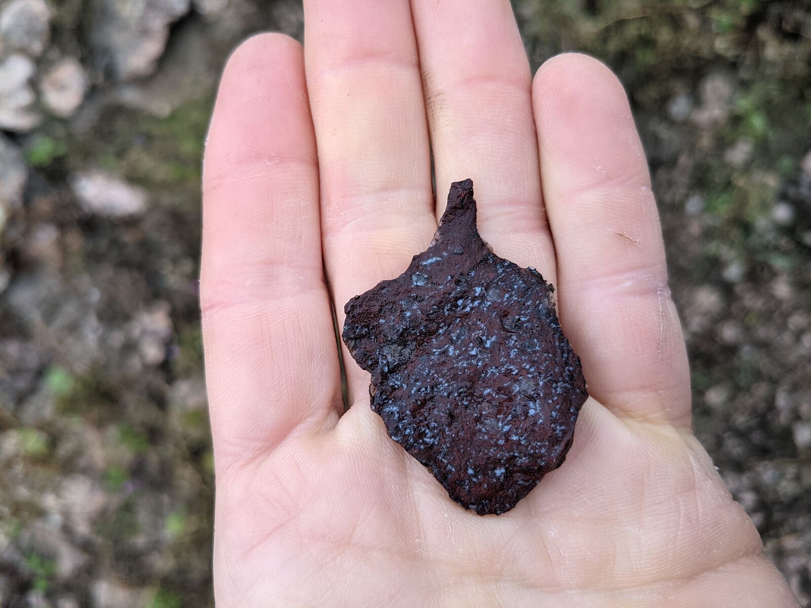
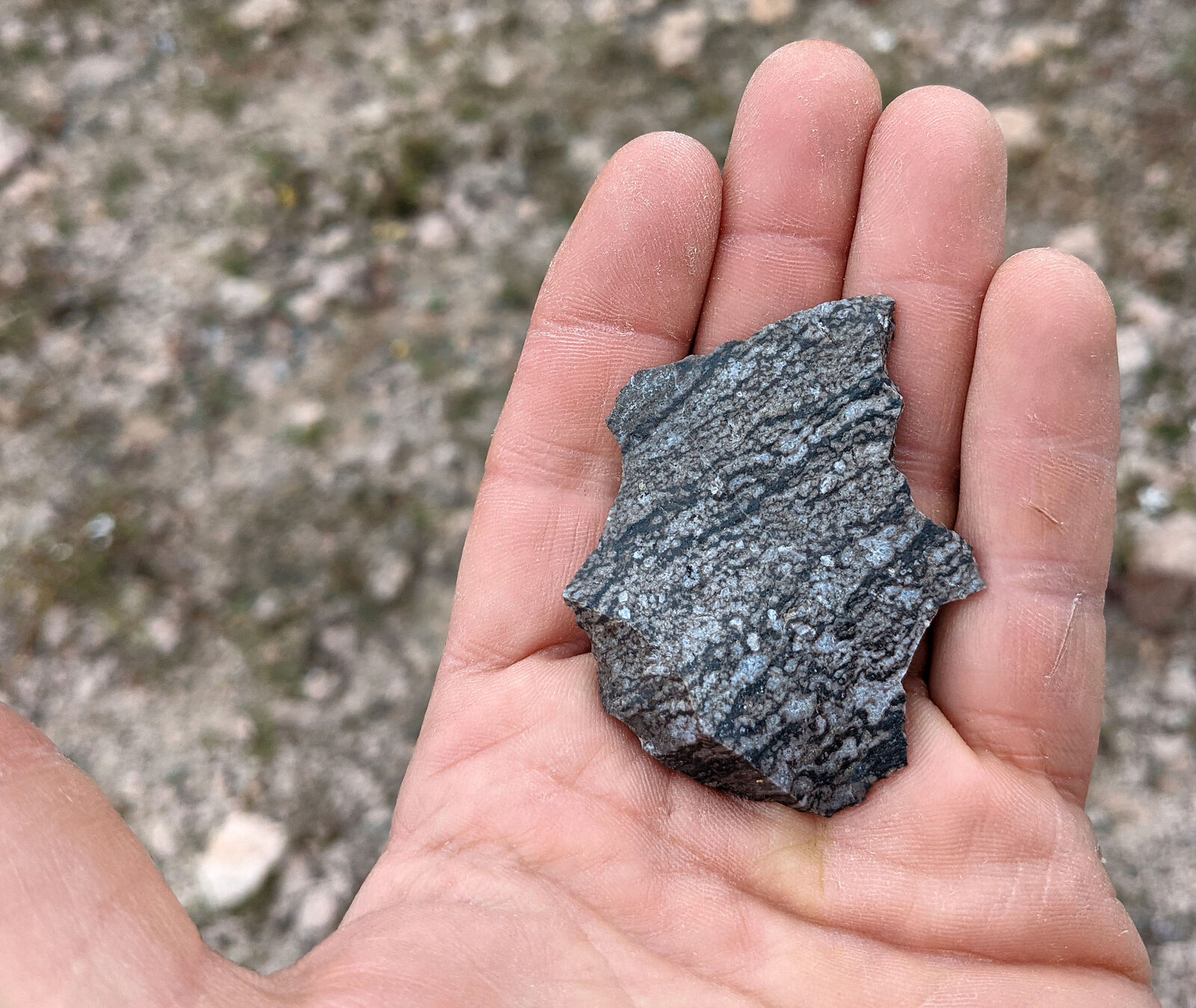
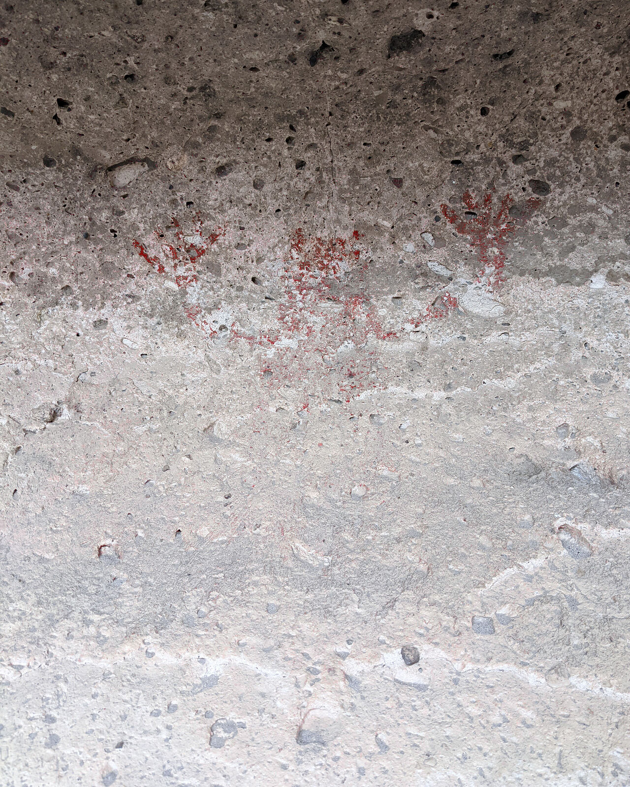
The best art was what the research paper calls the Dos Venados panel. Like at Catavina, these are painted on the underside of a large boulder. The
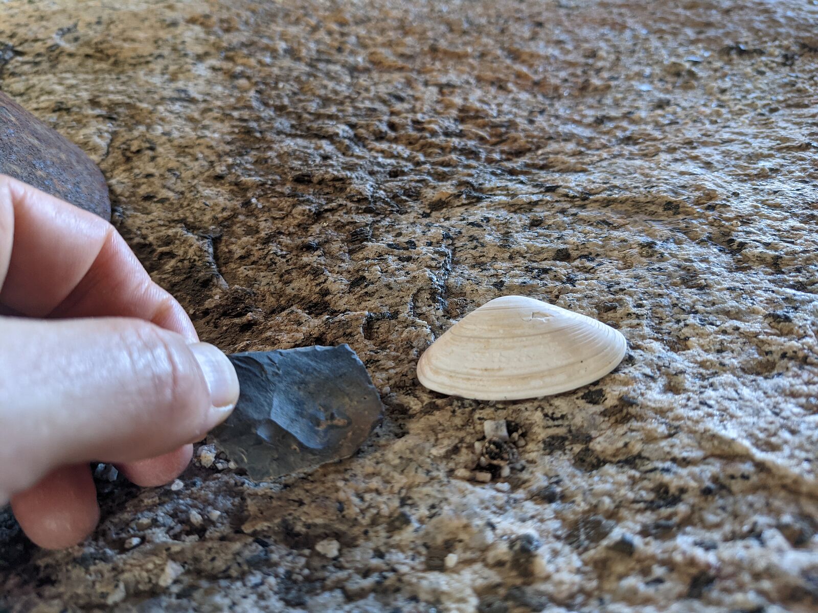
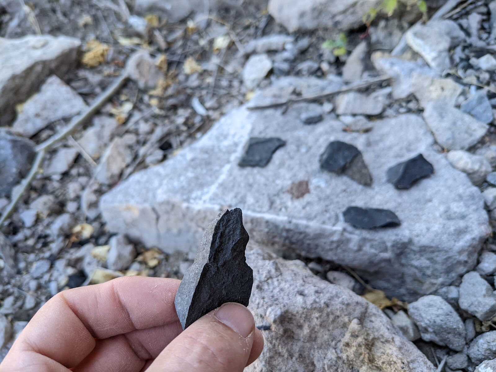
ground was littered with stone tools.
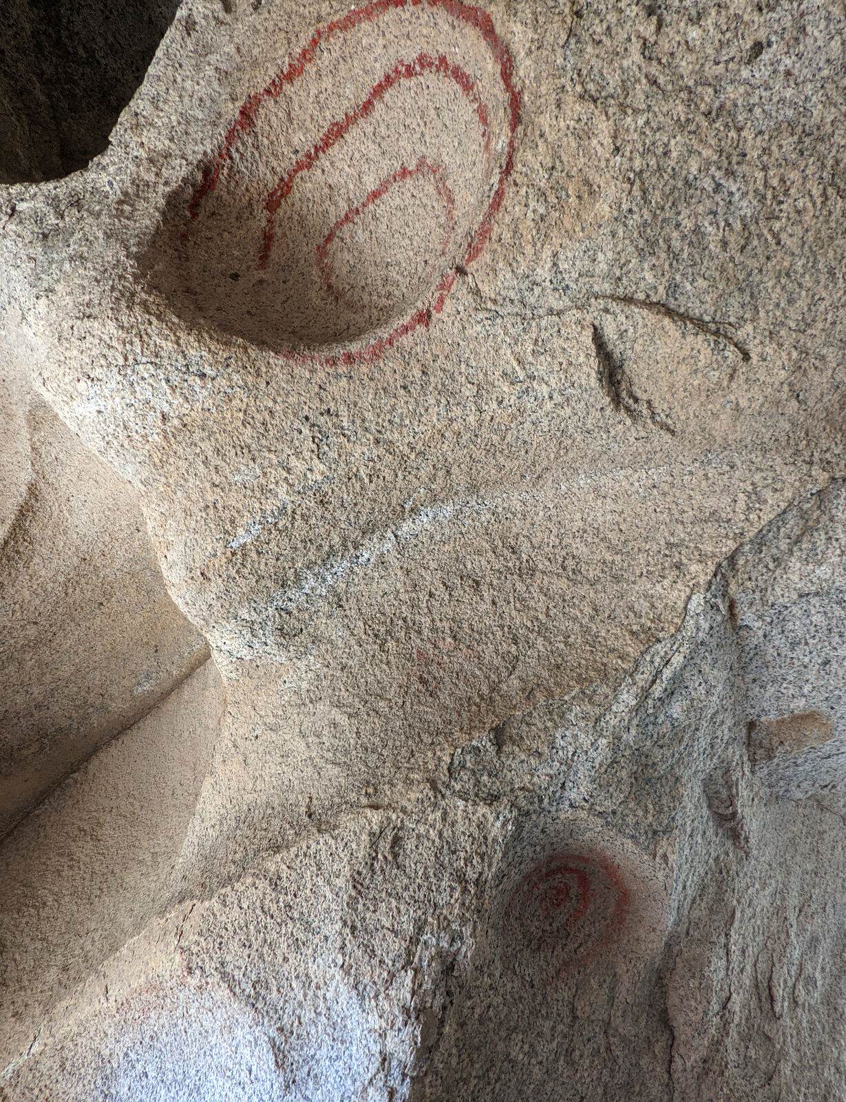
I tracked down some other painted boulder nearby sites. These drawings were all abstract designs.
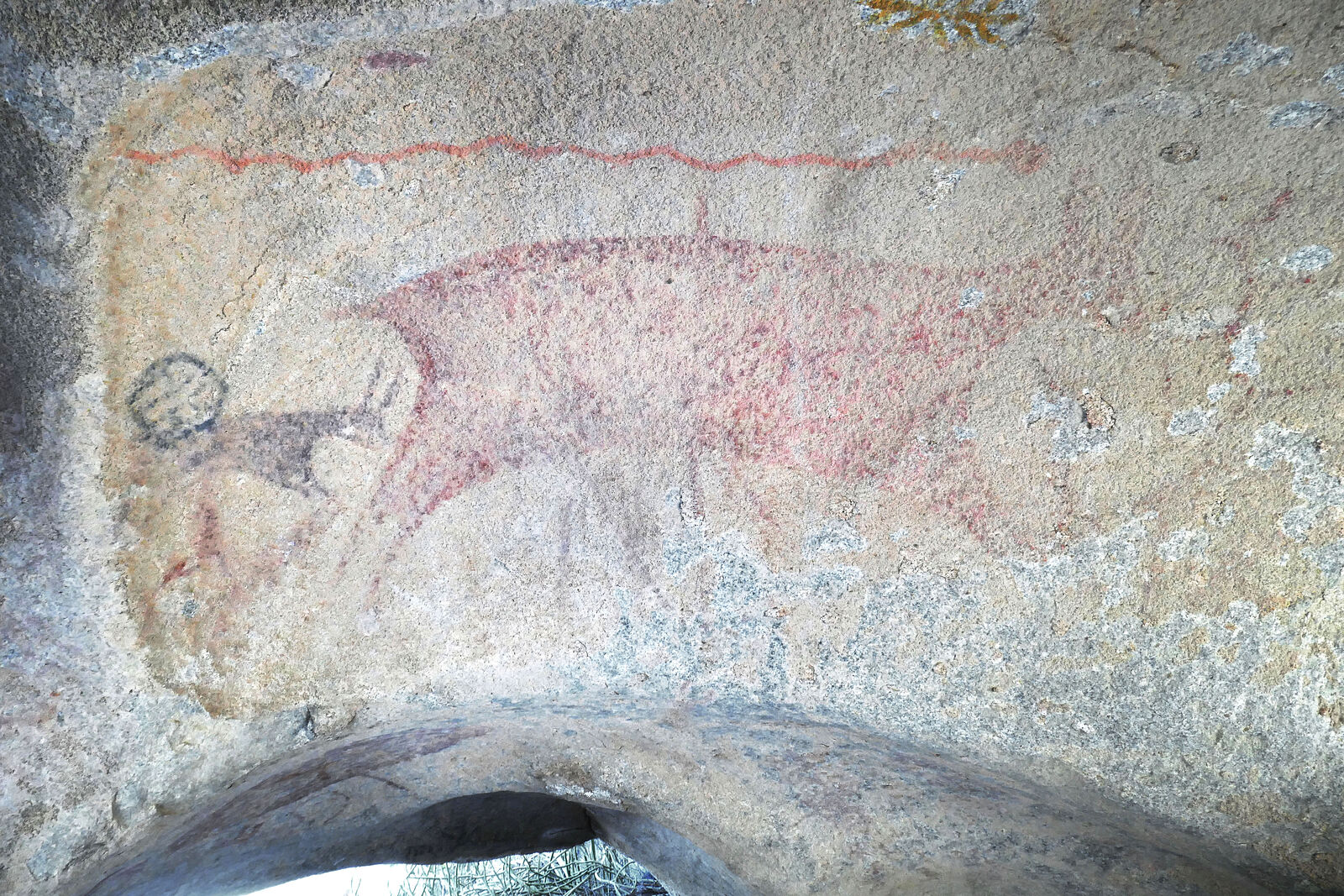
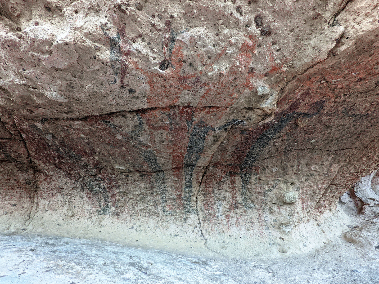
Great Mural Site 3 -- This was a boulder painted with a red deer and black lines. (Projectile weapons?)
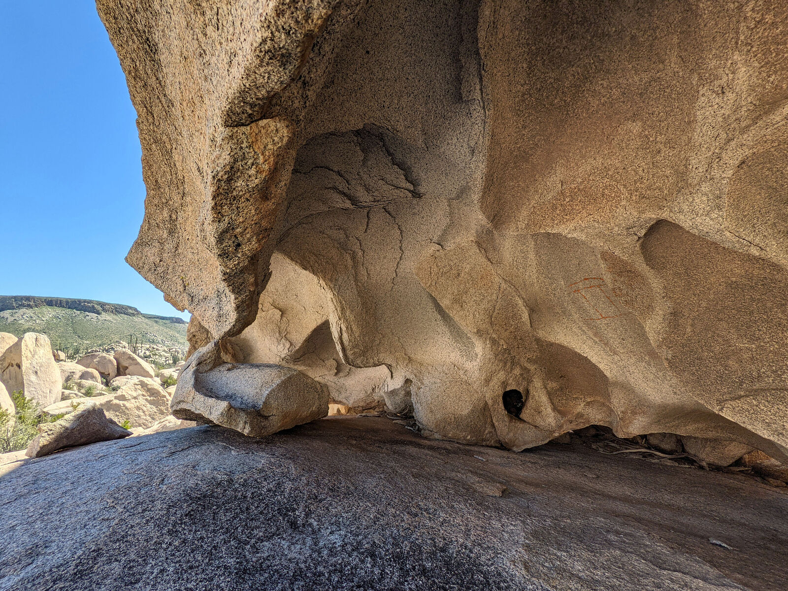
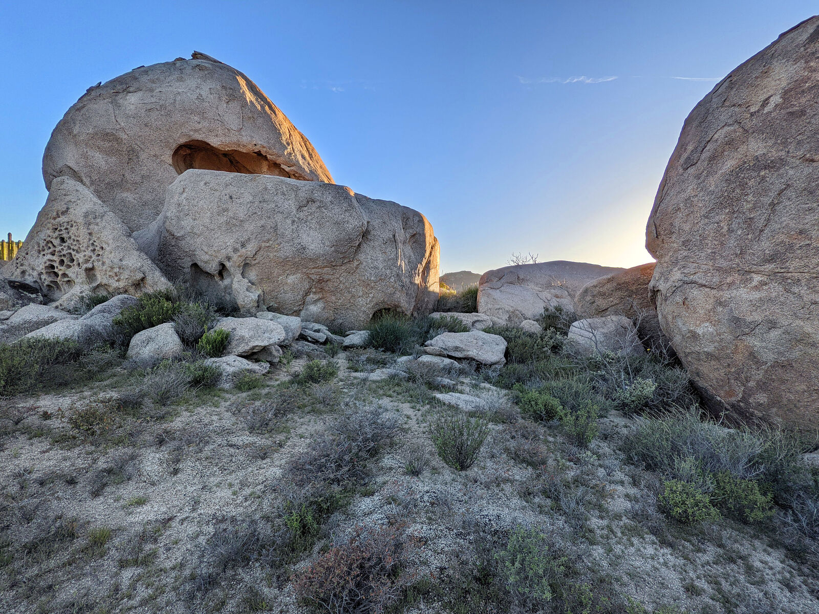
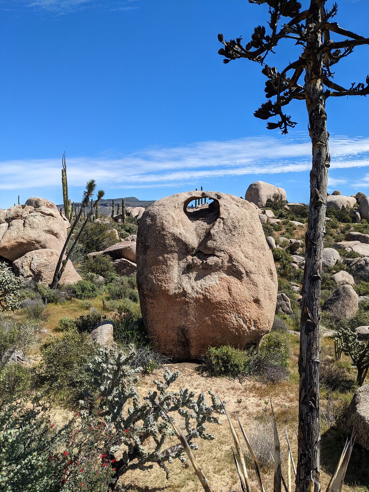
After a long day of hiking around, I stopped to camp for the night near one of the minor rock art sites. Before sunset, I wandered over to investigate
the boulders...
What was it those army guys had said to me, again? Watch out for pumas?
Well, I almost stepped on one! I was blundering around like a clueless city human in the wild, approaching this half-circle of boulders, when...
It was all over in three seconds. All I remember is: Cat! BIG cat! Those paws are huge! The puma turned around and bounded up and (luckily) away from
me over the boulders behind it. I didn't even get a look at the cat's face. All I remember was the motion, and the thudding of those big paws as the
cat moved. I had no time to think. No time to be scared until after it was all over. And, no, I didn't have my camera ready. I seemed to be right on
top of the puma, but more likely I never got closer than 20 feet. Anyway, here is a boring photo of the whole scene -- minus the mountain lion.
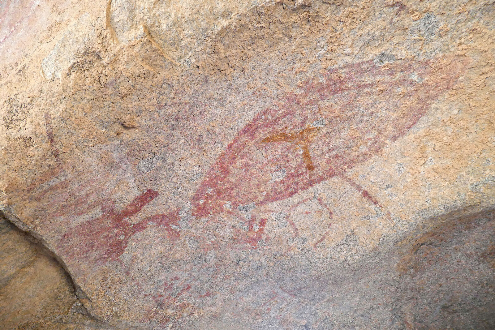
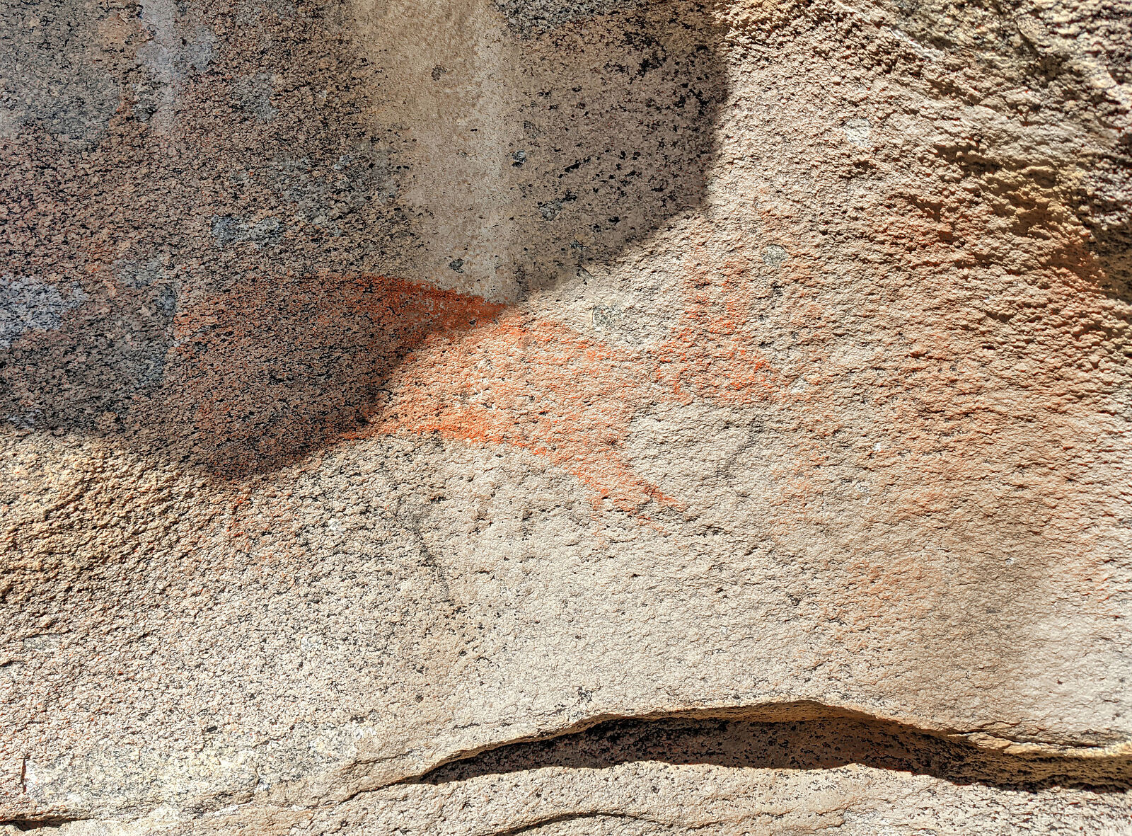
The next day I located Great Mural Site 2. This was a boulder with a faded animals painting on its side.
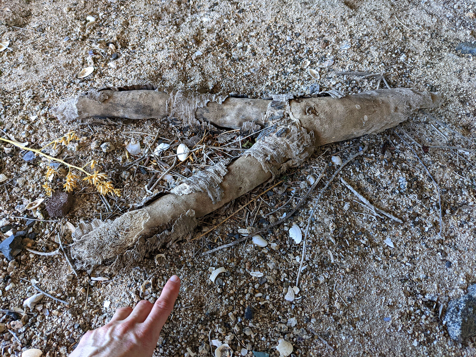
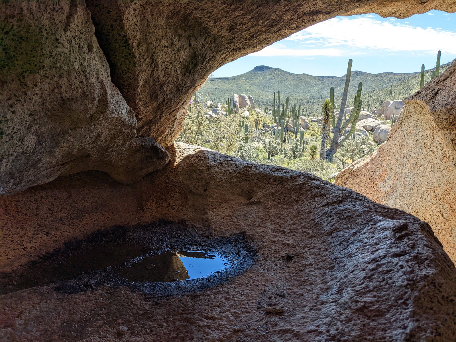
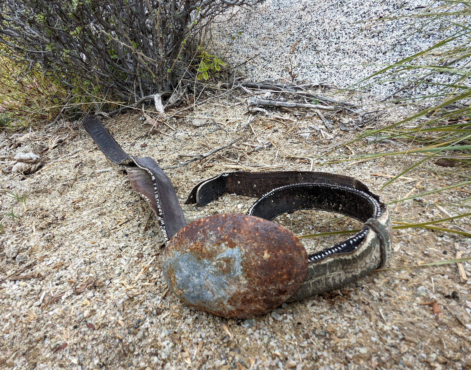
More exploring. Minor rock art, seashells, and more stone tools. And a slingshot, maybe?
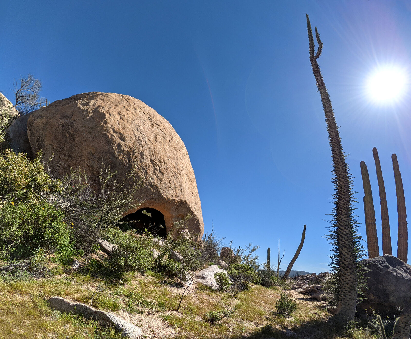
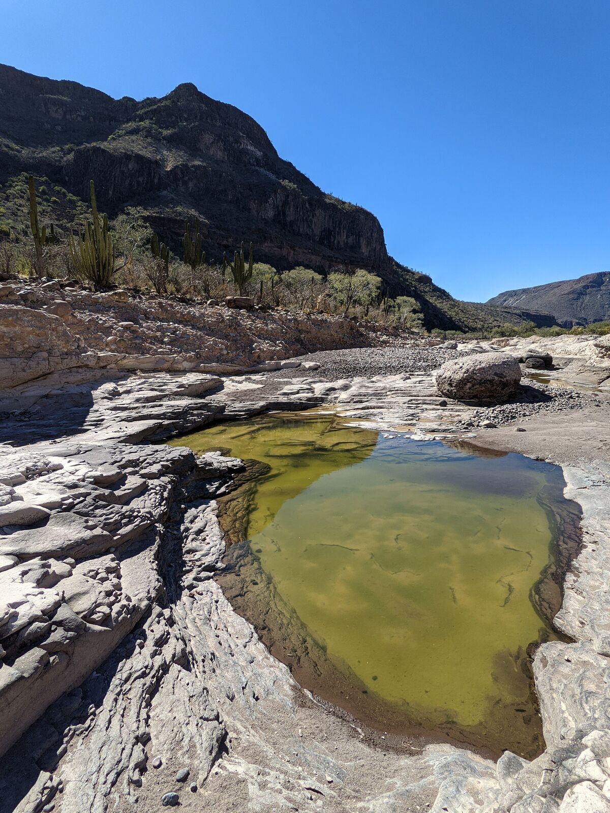
One large under-boulder shelter space had a carved-out rock "sink" still being refilled by water dripping down from above!
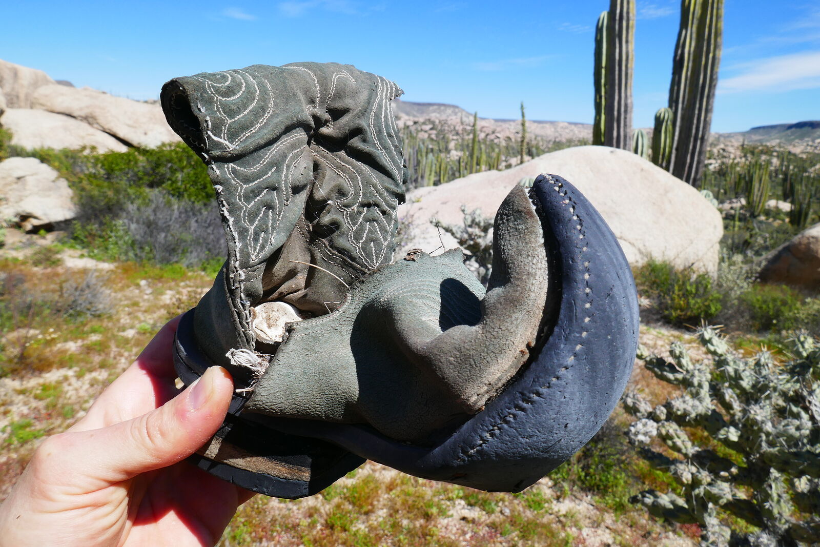
A more modern find -- this little boot.
It was time to move on. I started driving back out towards the highway.
|
|
|
geoffff
Senior Nomad
Posts: 710
Registered: 1-15-2009
Member Is Offline
|
|
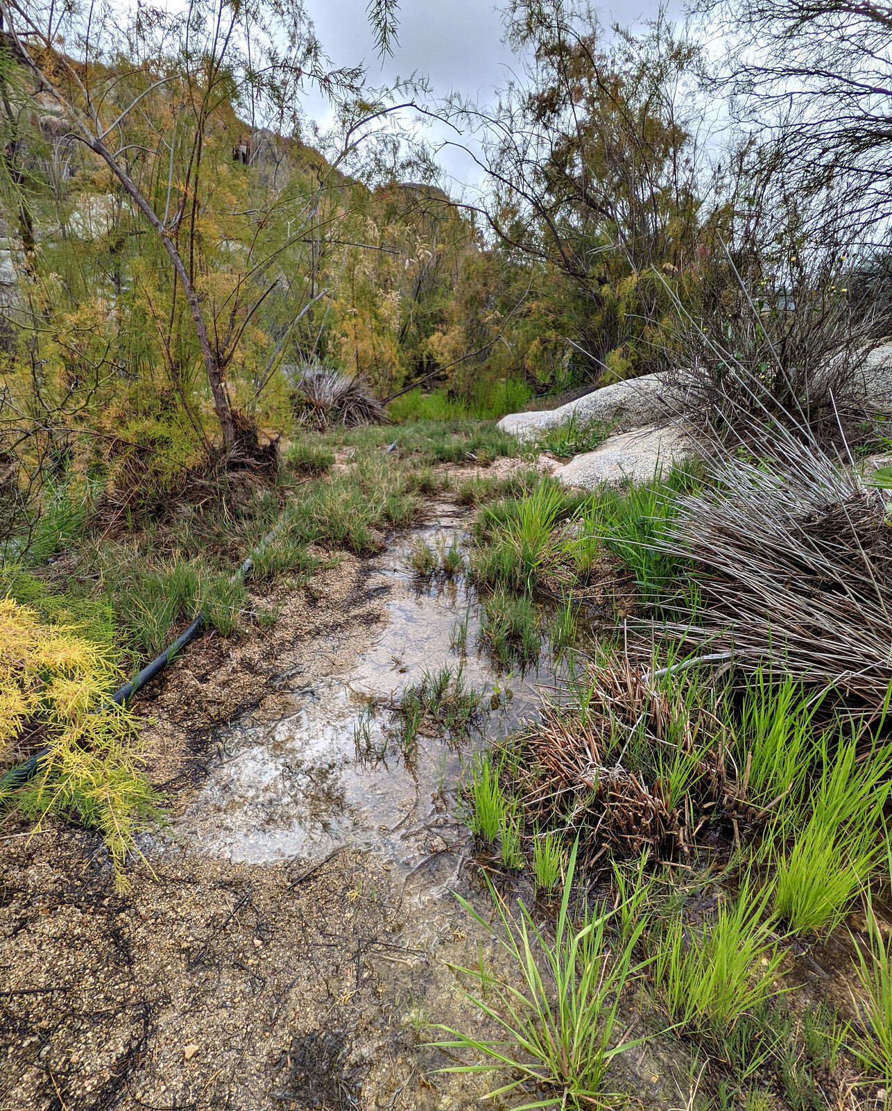
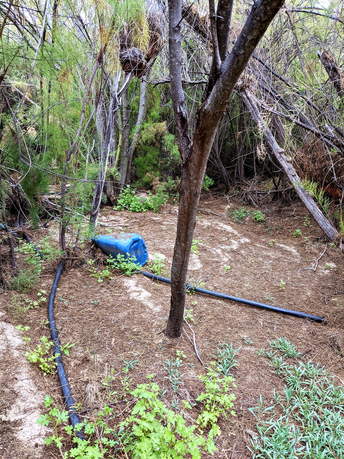
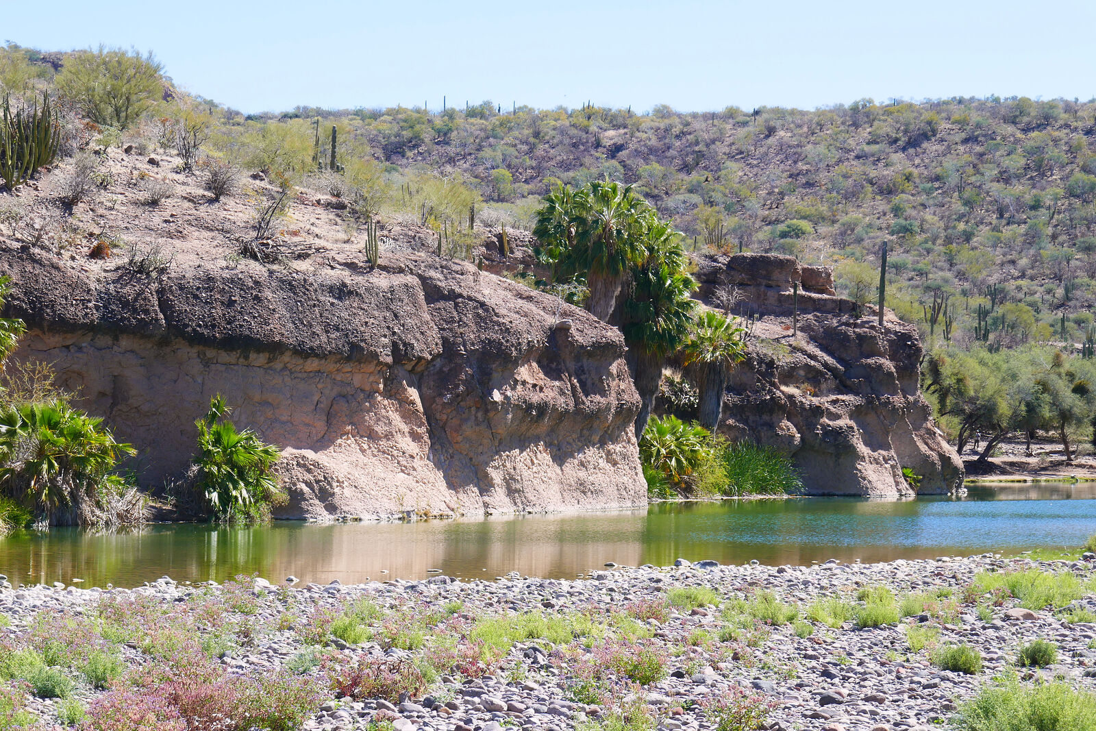
Agua Leon
DavidK had me take a little detour to check out Agua Leon, a historic water hole. The access road was very faint. Not often visited!
There was surface water at Agua Leon, though I wasn't tempted to drink it. Plastic pipes were strewn about, and also some old rusty remains. The site
was overgrown with tamarisk. (GPS: 29.1700,-114.2293)
|
|
|
David K
Honored Nomad
Posts: 65440
Registered: 8-30-2002
Location: San Diego County
Member Is Offline
Mood: Have Baja Fever
|
|
OH JOY! Geoffff, you are one of the greatest trip report contributors on Nomad. Thank you for sharing. I am so looking forward to seeing more of this
return to Baja!
I wonder how my camping area of Shell Island looks, post Hurricane Kay (Sept. 2022)? It is another mile north of your spot and has (had) about the
tallest dune hill, that we camp next to.
I hope to find out this summer! My last time camping on the island was in 2018 and Baja Angel's last time was the year before... we can't wait to
recharge our Shell Island batteries!
EDIT:
After I posted this reply, your next installments were posted. What a beautiful place Los Codornices (San Antonio) is, as well as the rock art
location.
In 2017, I drove through there for the Baja Bound road guide research, but missed seeing the adobe or giant eucalyptus tree area. There was a bypass
near other palms, that 'short-cutted' out that big north loop into the old ranch. By the time I realized I missed seeing the adobe area (I wanted to
see), I was too far down the road to justify a U-turn. I was hoping to make it to the beach for camping as the sun was dropping. Of course that couple
in need, at La Miseria, changed the next 12 hours of my trip!
The Codornices rock art paper was quite interesting and with their use of DStretch technology, the faint paintings really come out: https://www.academia.edu/43239233/Rancho_Codornices_Great_Mu...
[Edited on 4-3-2023 by David K]
|
|
|
geoffff
Senior Nomad
Posts: 710
Registered: 1-15-2009
Member Is Offline
|
|
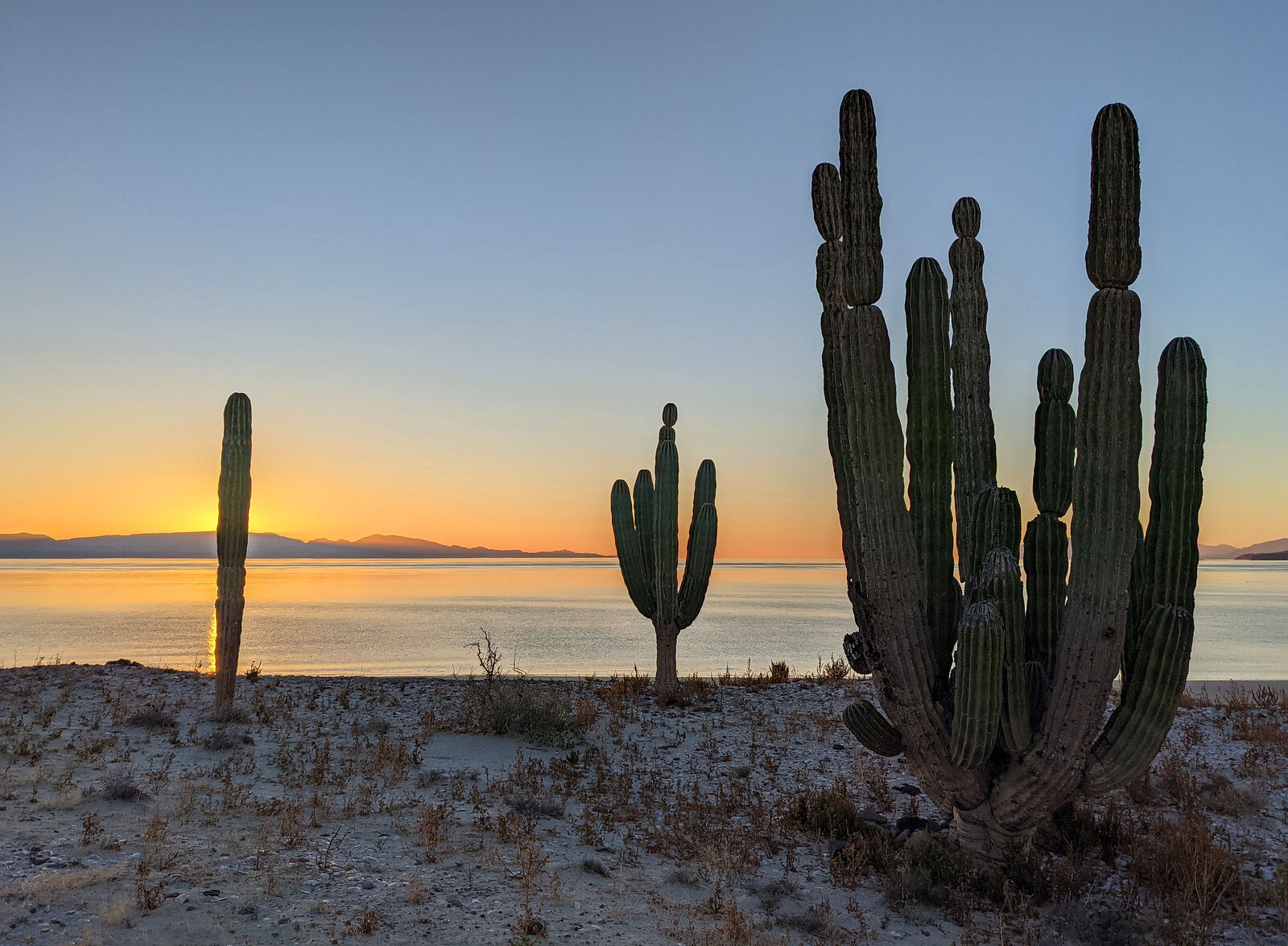
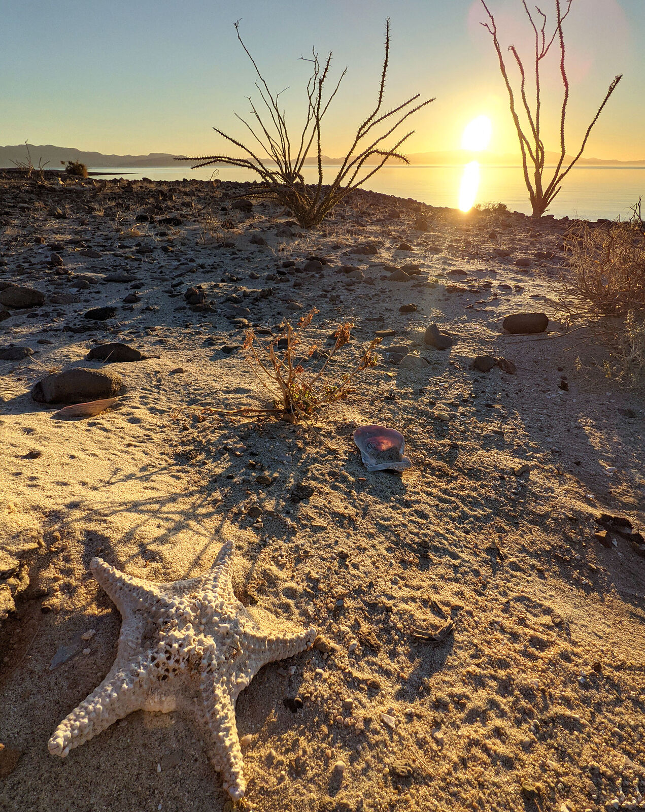
Bahia Concepcion
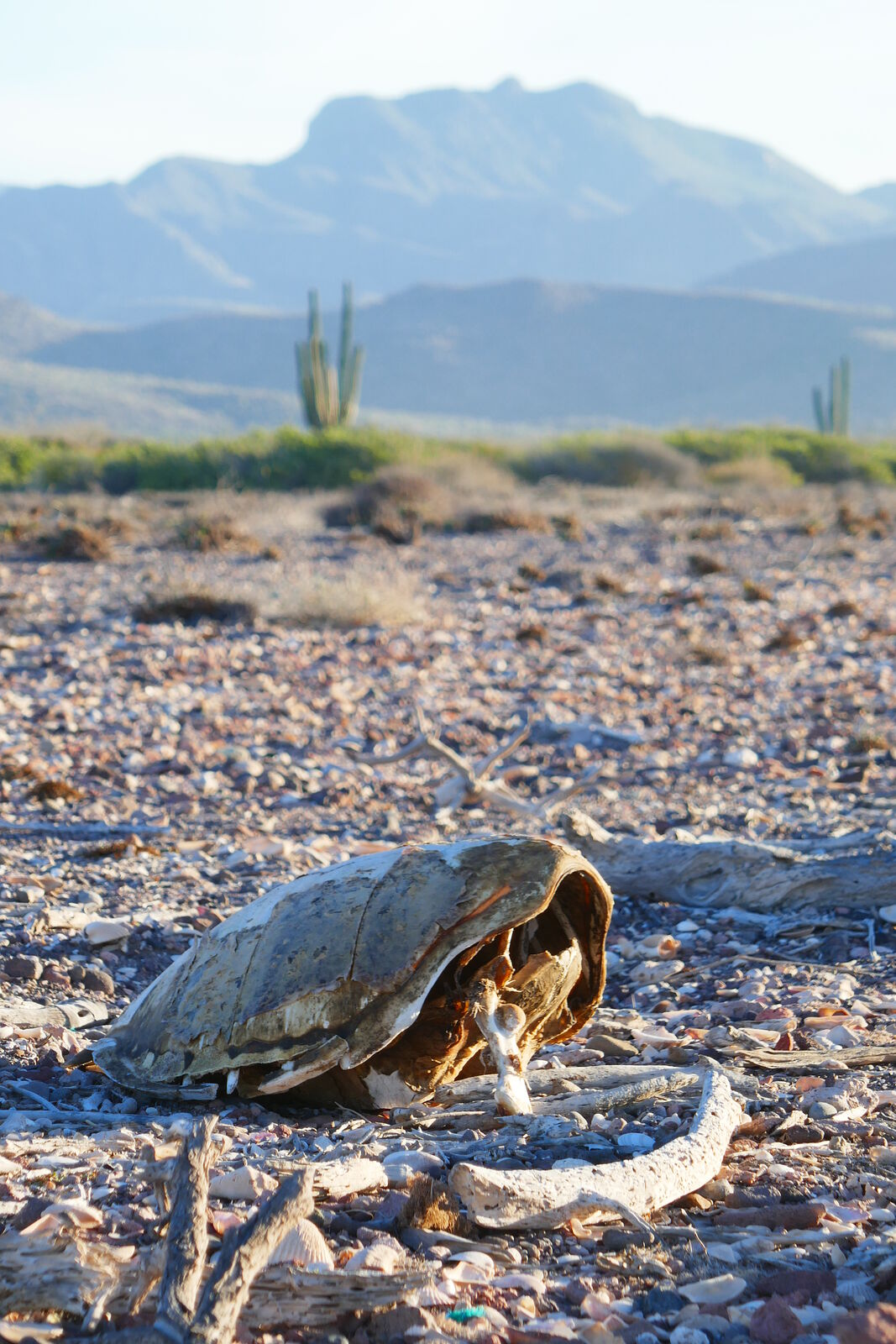
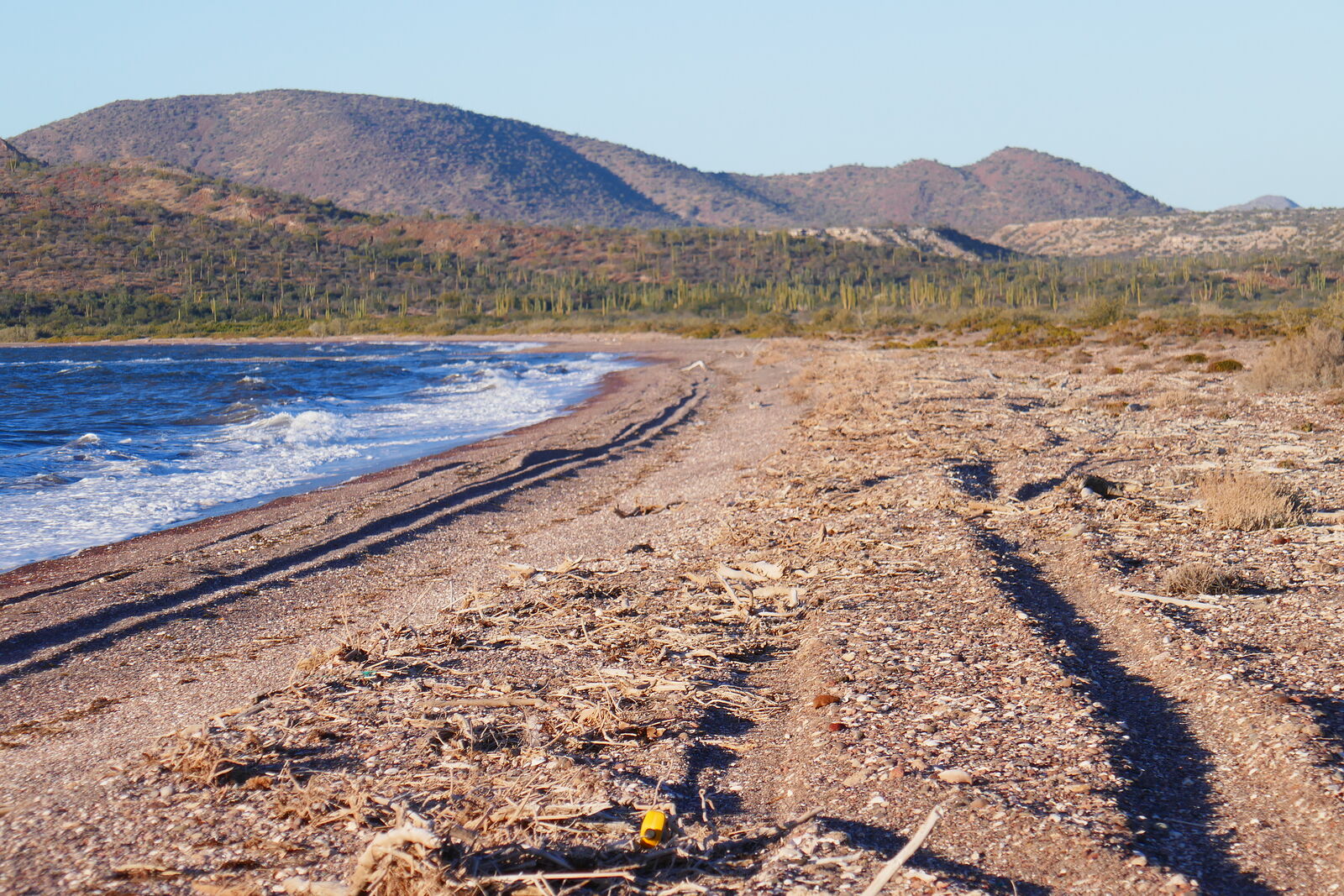
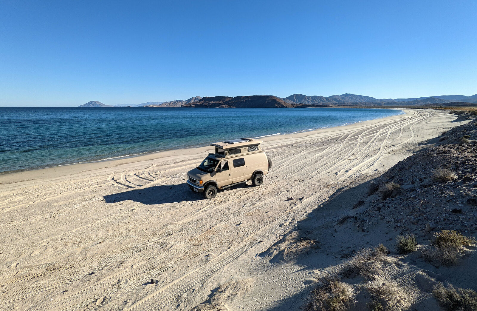
The east shore of Bahia Concepcion is beautiful -- in a white sand, turquoise calm water stereotypical beach paradise kind of way -- but way too
crowded for me. So, I usually camp at the blustery very southern end of Bahia Concepcion. It's beautiful there, too, but in a more rugged way -- with
rocky coarse beaches and blowing winds. Except for one Jeep passing through, I had this five mile-long beach to myself.
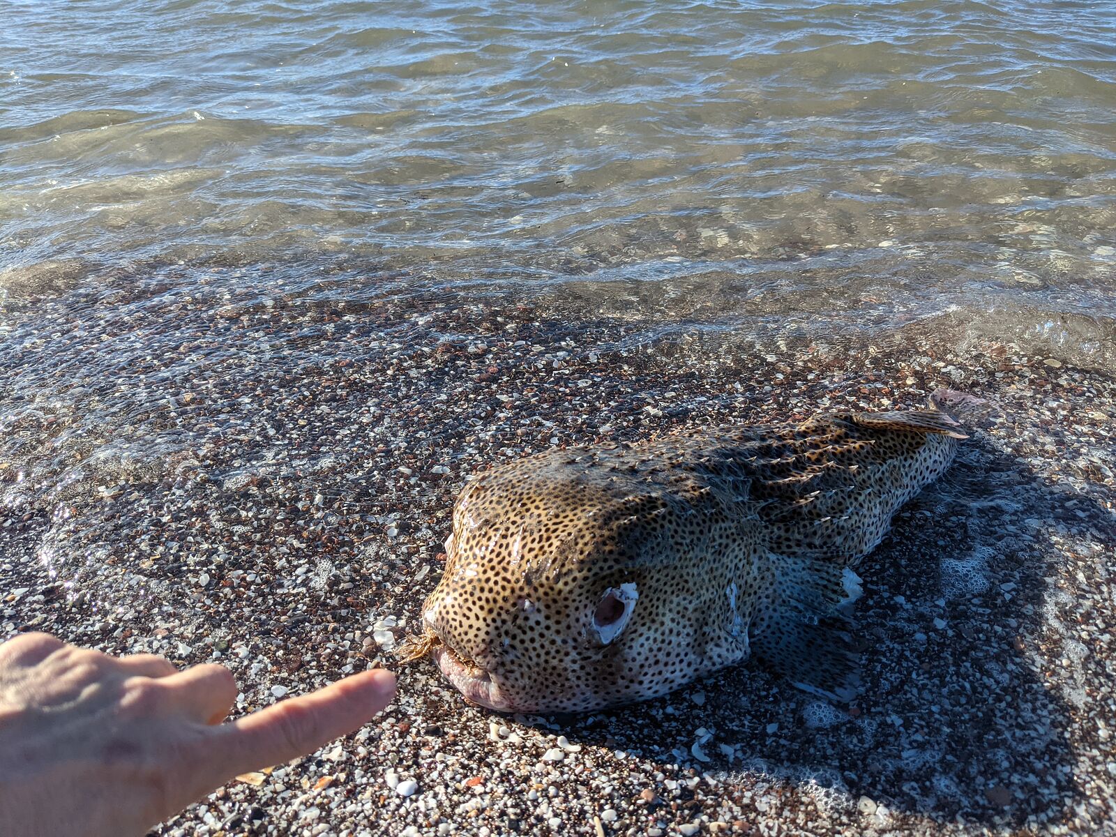
There were a surprising number of dead sea turtles this year -- a pattern I found repeated again on other Baja beaches this trip.
|
|
|
geoffff
Senior Nomad
Posts: 710
Registered: 1-15-2009
Member Is Offline
|
|
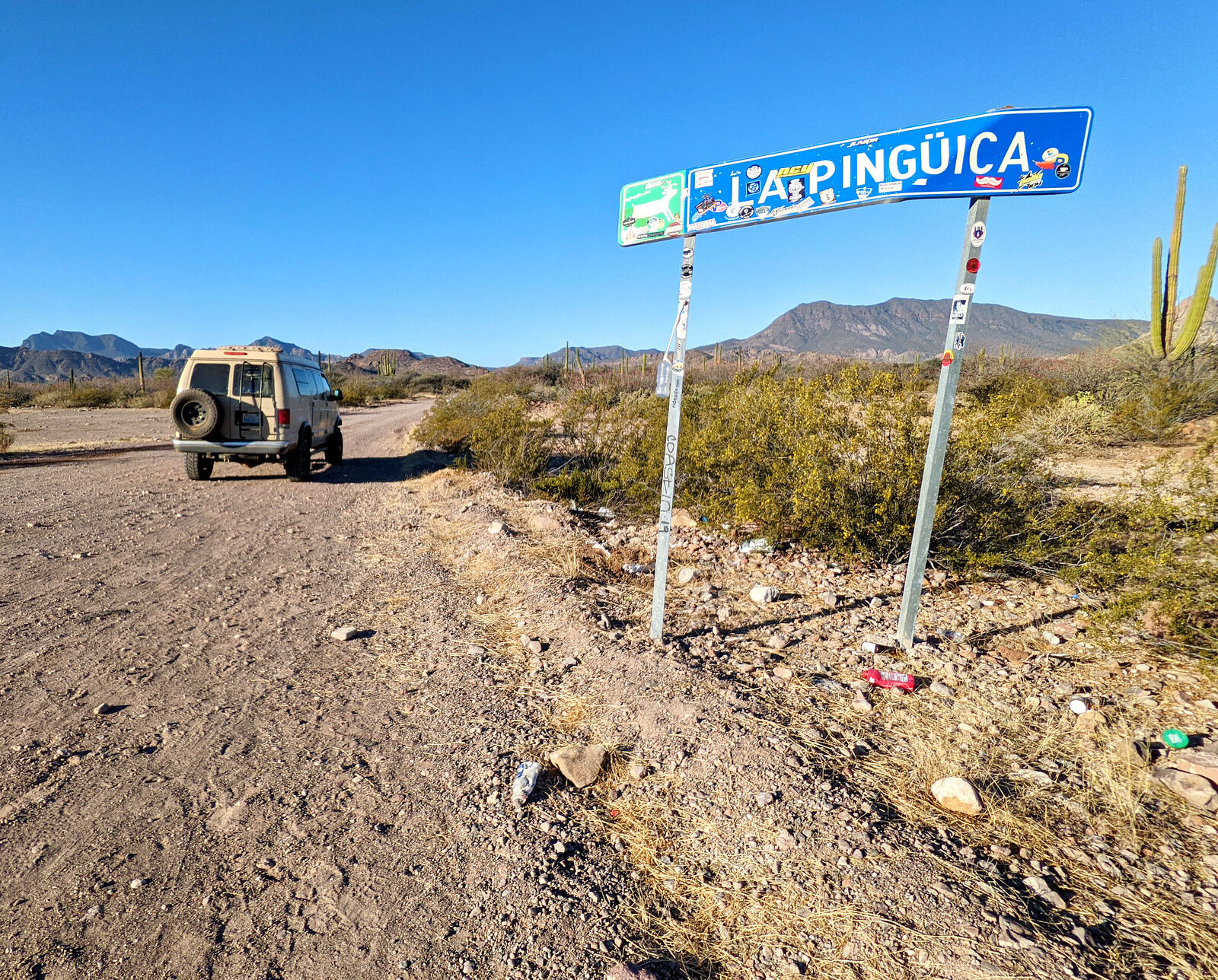
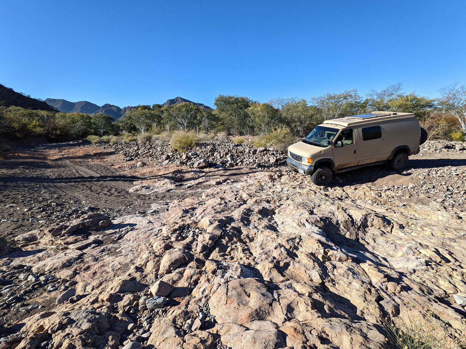
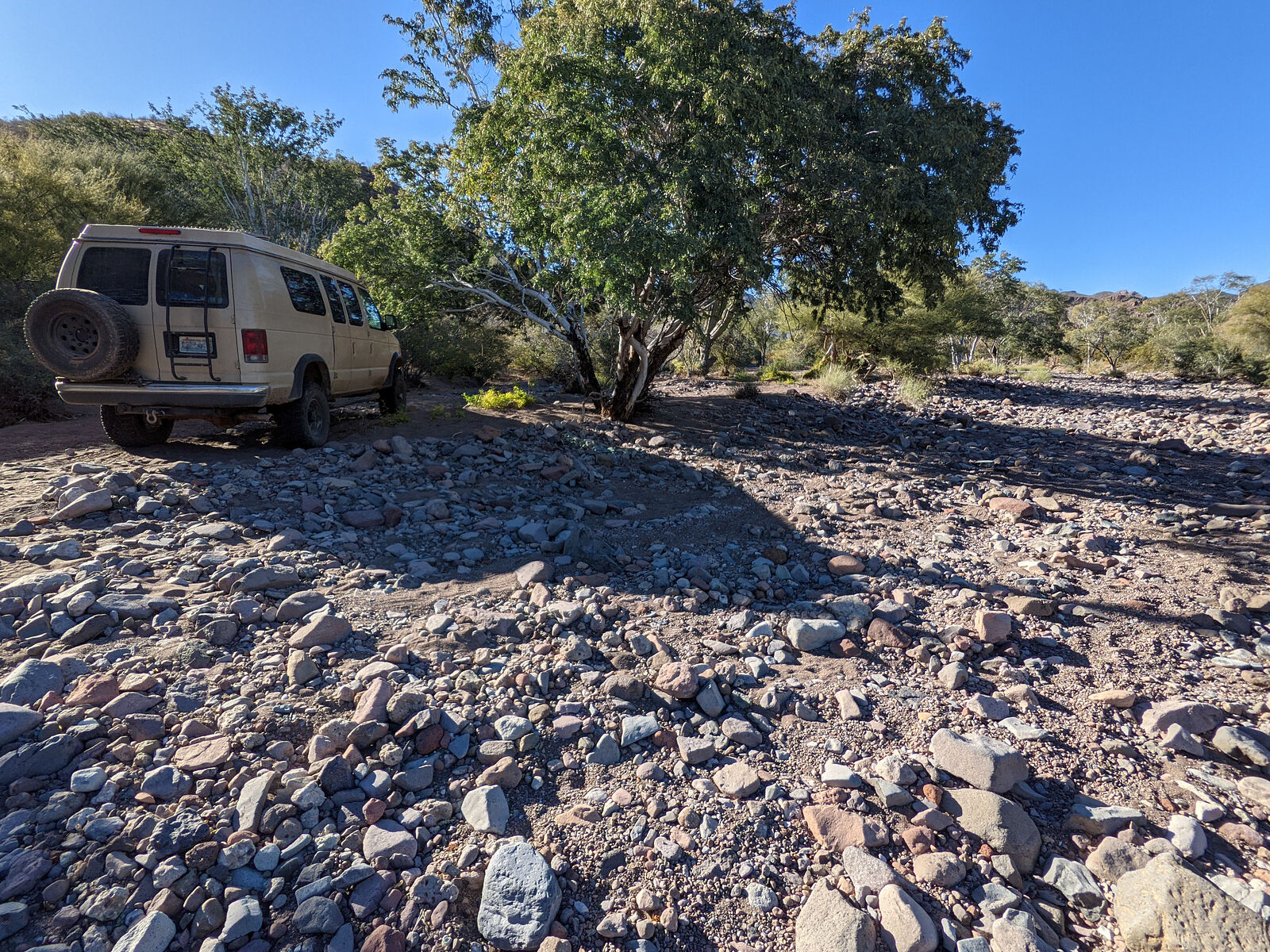
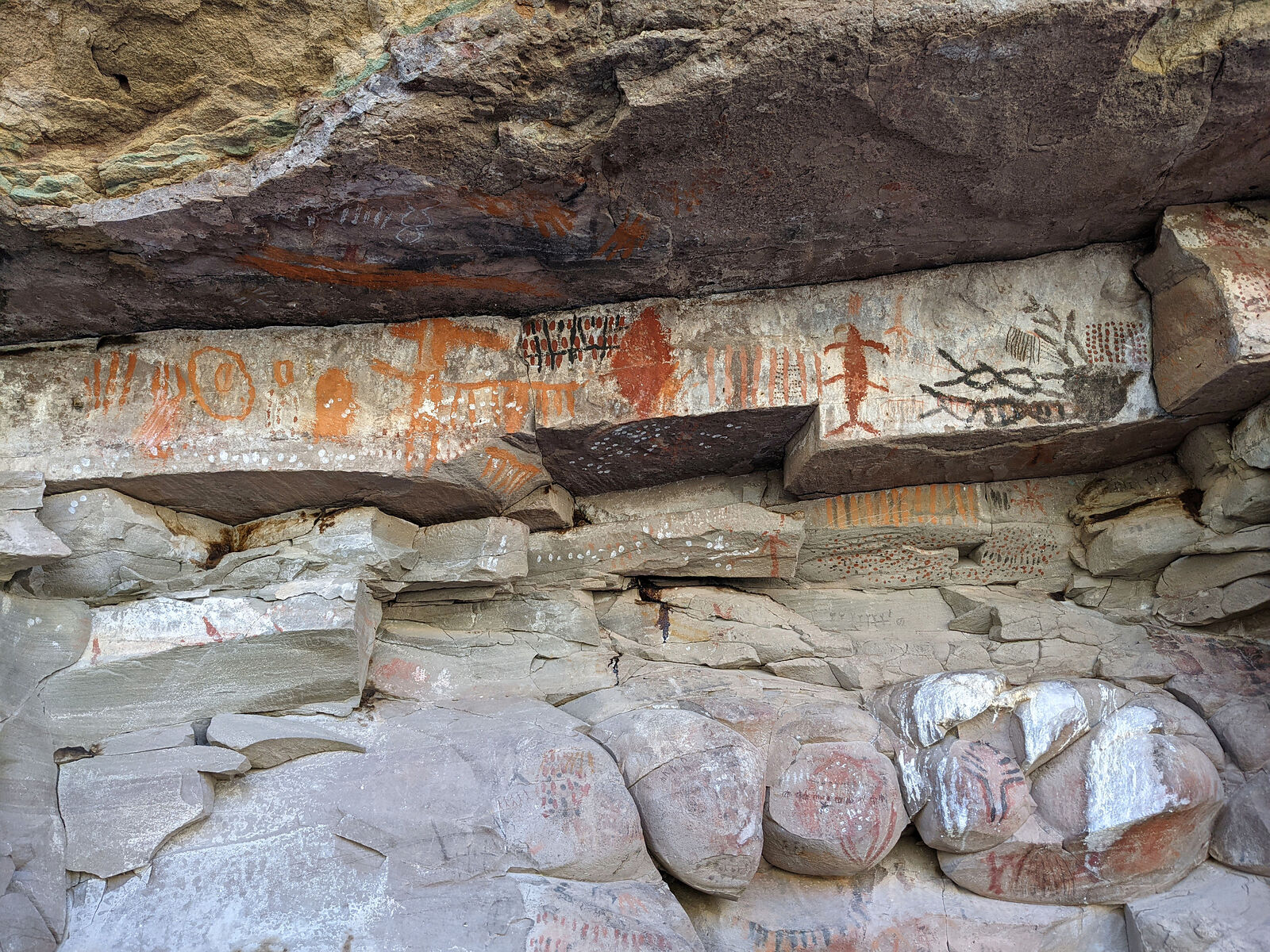
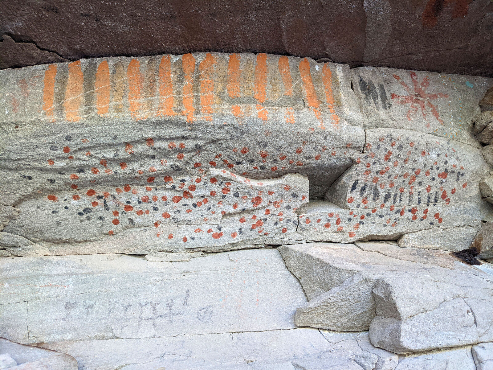
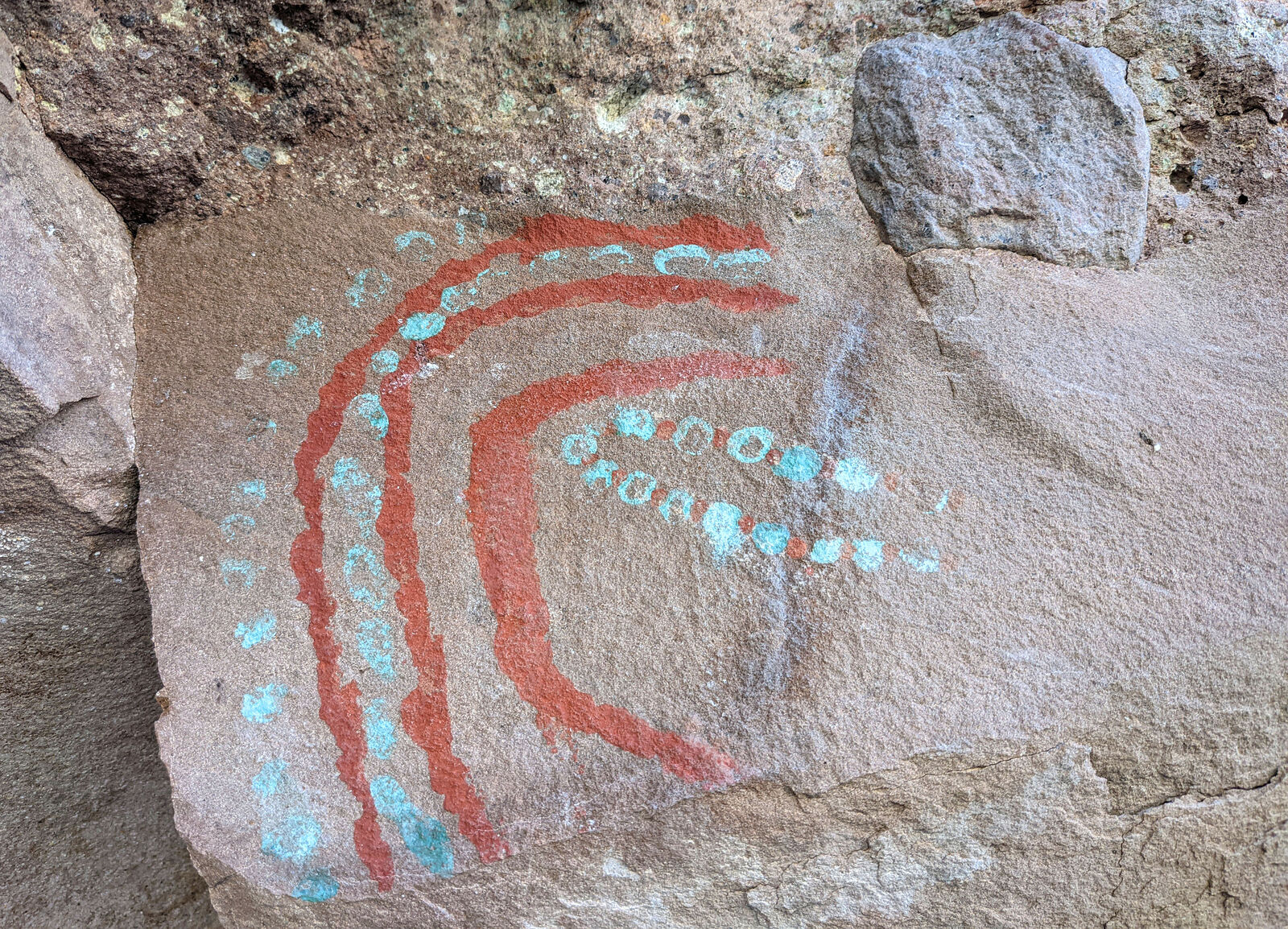
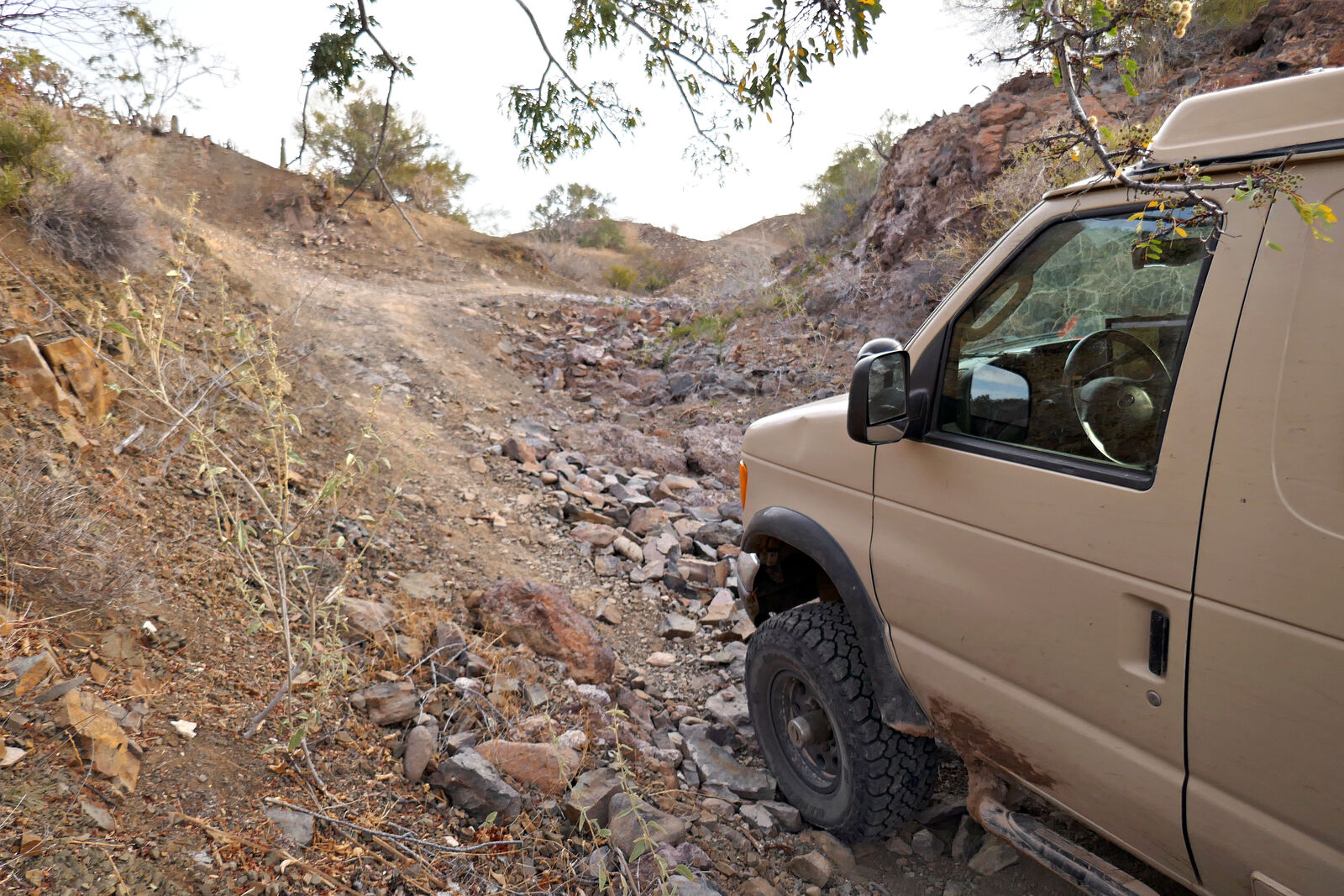
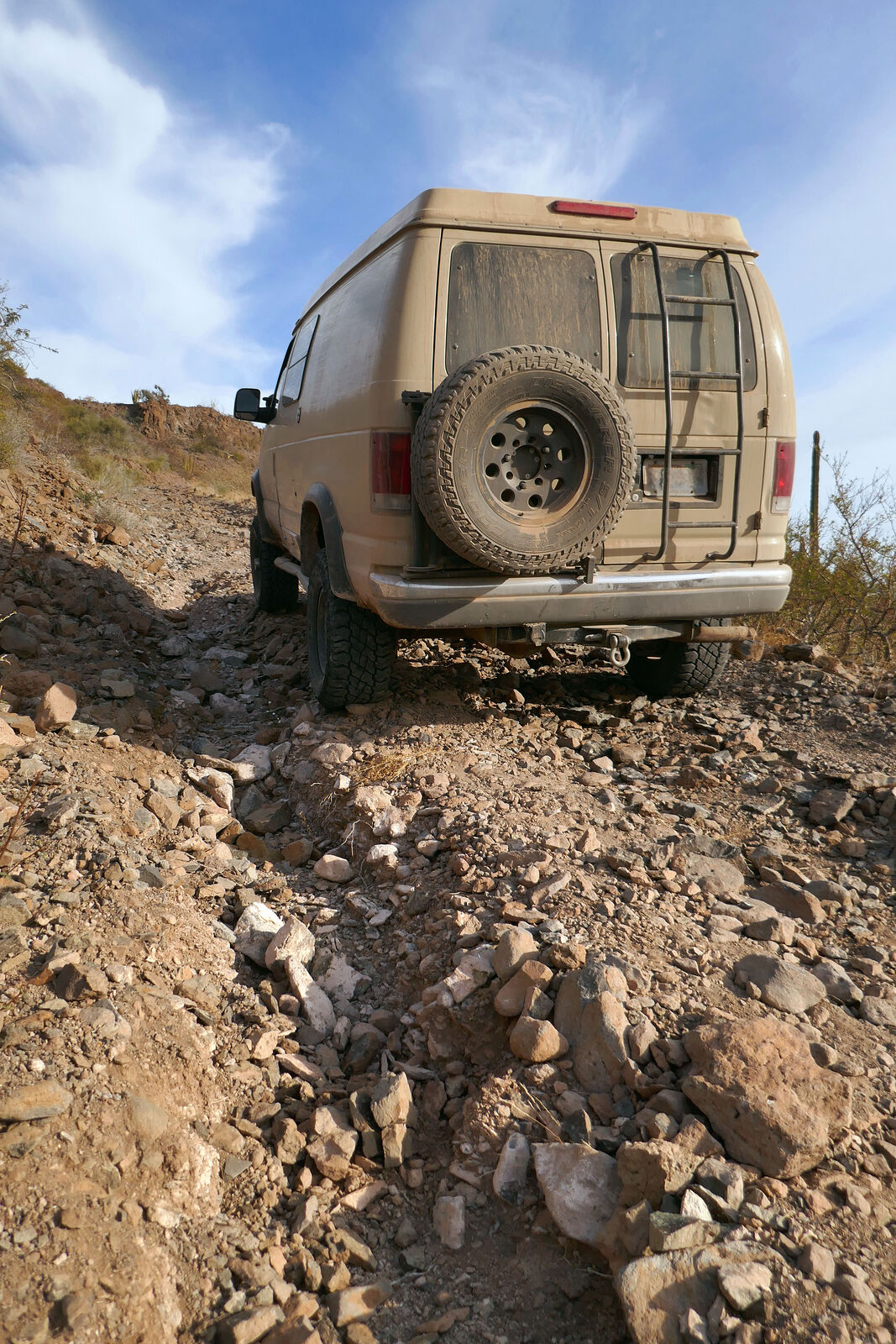
Pinguica/Canipole Pictographs
I checked out the Pinguica/Canipole rock art site, south of Bahia Concepcion. It's in an arroyo called "La Pinta" -- auspicious name for a rock art
site?
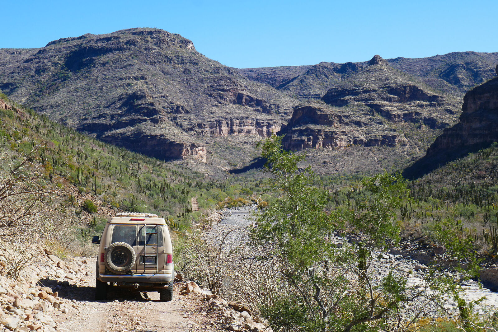
The access road quickly becomes a washed out riverbed of stone softballs. I grew tired of inching forward trying to "drive" and parked about 2 miles
from the rock art site.
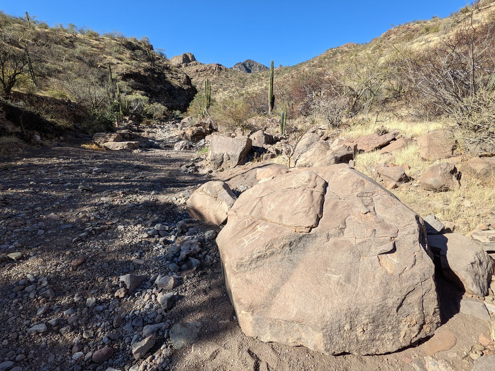
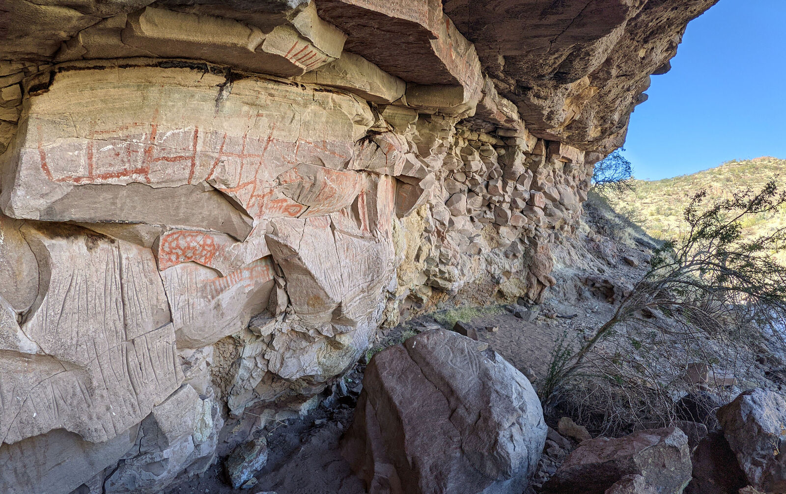
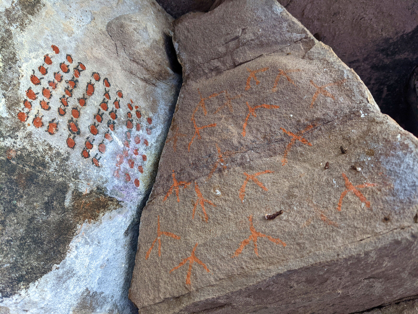
As I approached the rock art site I was greeted by a "welcome sign" of petroglyphs. Then, on the left, was a long rock overhang gallery covered in
colorful abstract shapes -- including some in blue-green paint (unusual). I am amazed these pictographs have stayed so vivid over the years, situated
so close to a periodically active riverbed.
On the way out I passed by a tour group being led in by Guaycura Adventures. I had been lucky to have this place all to myself!
|
|
|
geoffff
Senior Nomad
Posts: 710
Registered: 1-15-2009
Member Is Offline
|
|
Mision Comondu Viejo
From La Pinguica, I continued southwest on the road to La Purisma.
On the way, I took a detour to visit the Mision Comondu Viejo. Comondu Viejo is on the site of an abandoned ranch, La Capilla.
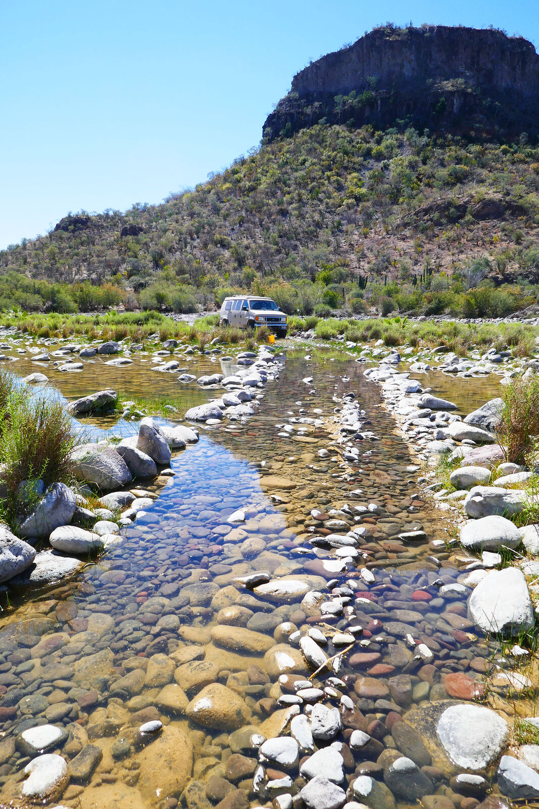
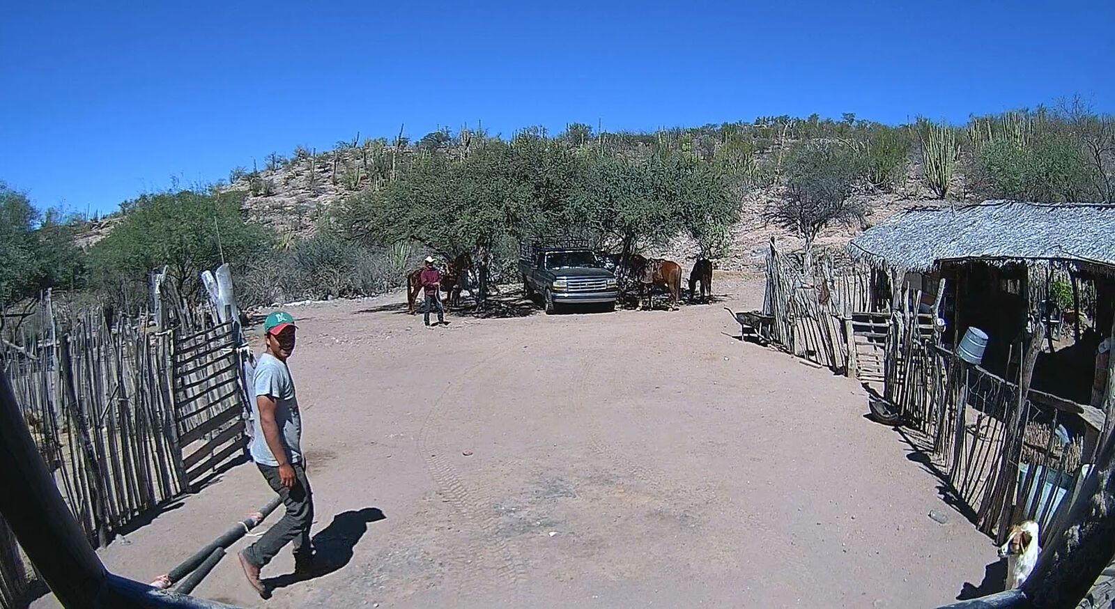
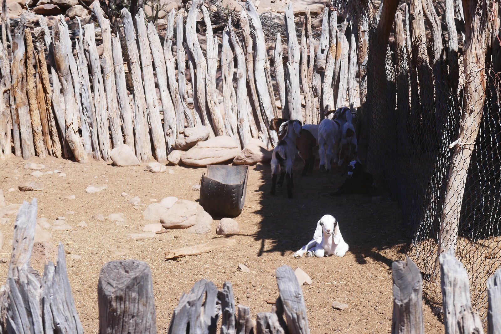
The access road passes through rancho San Juan (GPS:26.2894,-111.7296) -- an active ranch busy with horses, pigs on leashes, cute little goats, and
some fearless dust-bathing road chickens that simply refused to move aside to let my van pass. I backed up and drove around them.
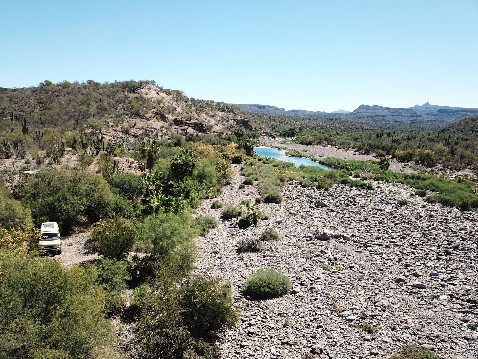
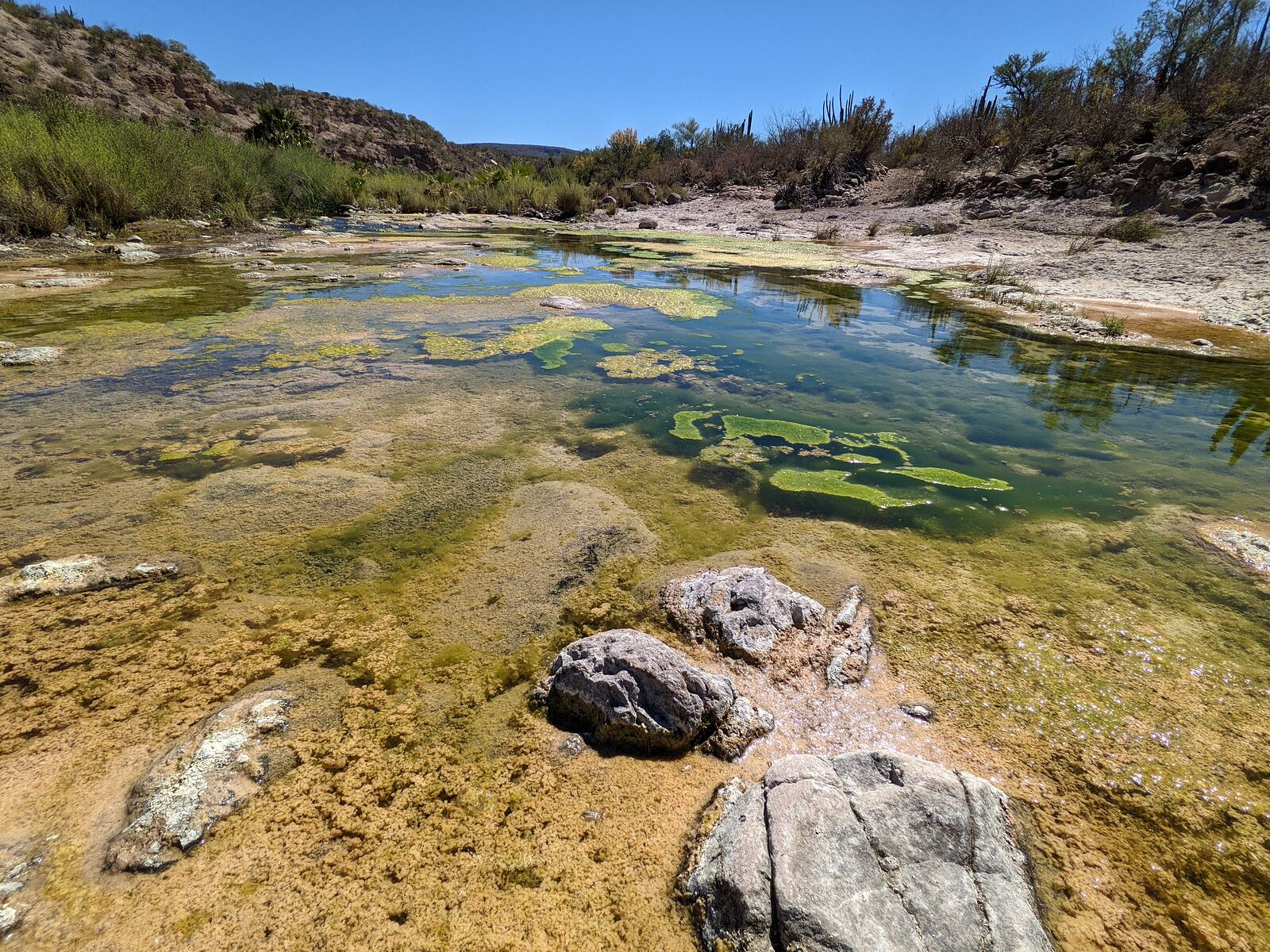
San Juan and Comondu Viejo are both along Arroyo Comondu Viejo, which has standing pools of scenic blue-green water, complete with little fish, and
many palm trees.
A kilometer south of rancho San Juan, the road becomes impassable where the arroyo crossing is thoroughly washed out. (GPS:26.2800,-111.7240) From
there it's another kilometer walk south on the old road to the Comondu Viejo site.
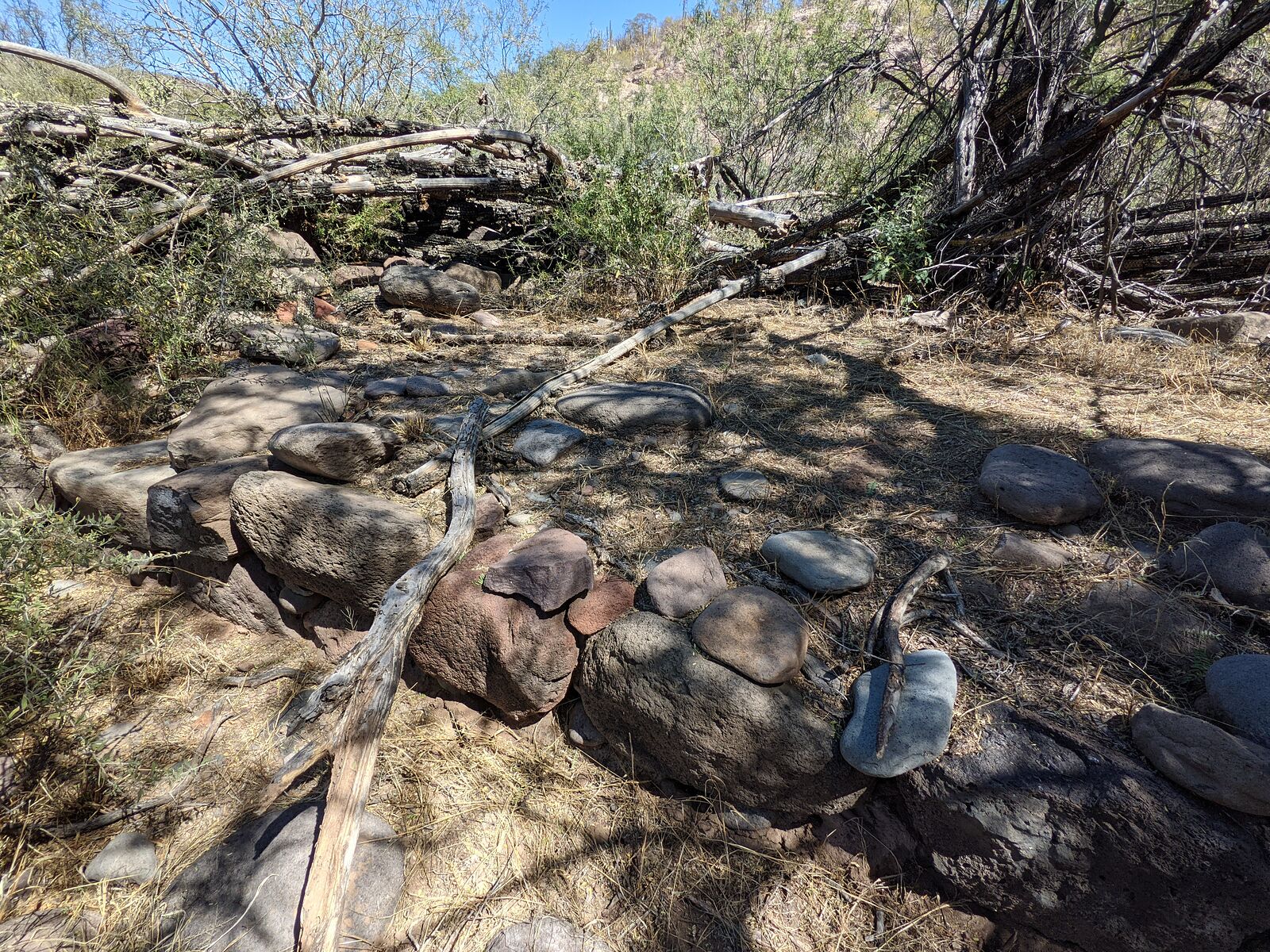
I first came across the dilapidated remains of a couple animal pens made from local plants.
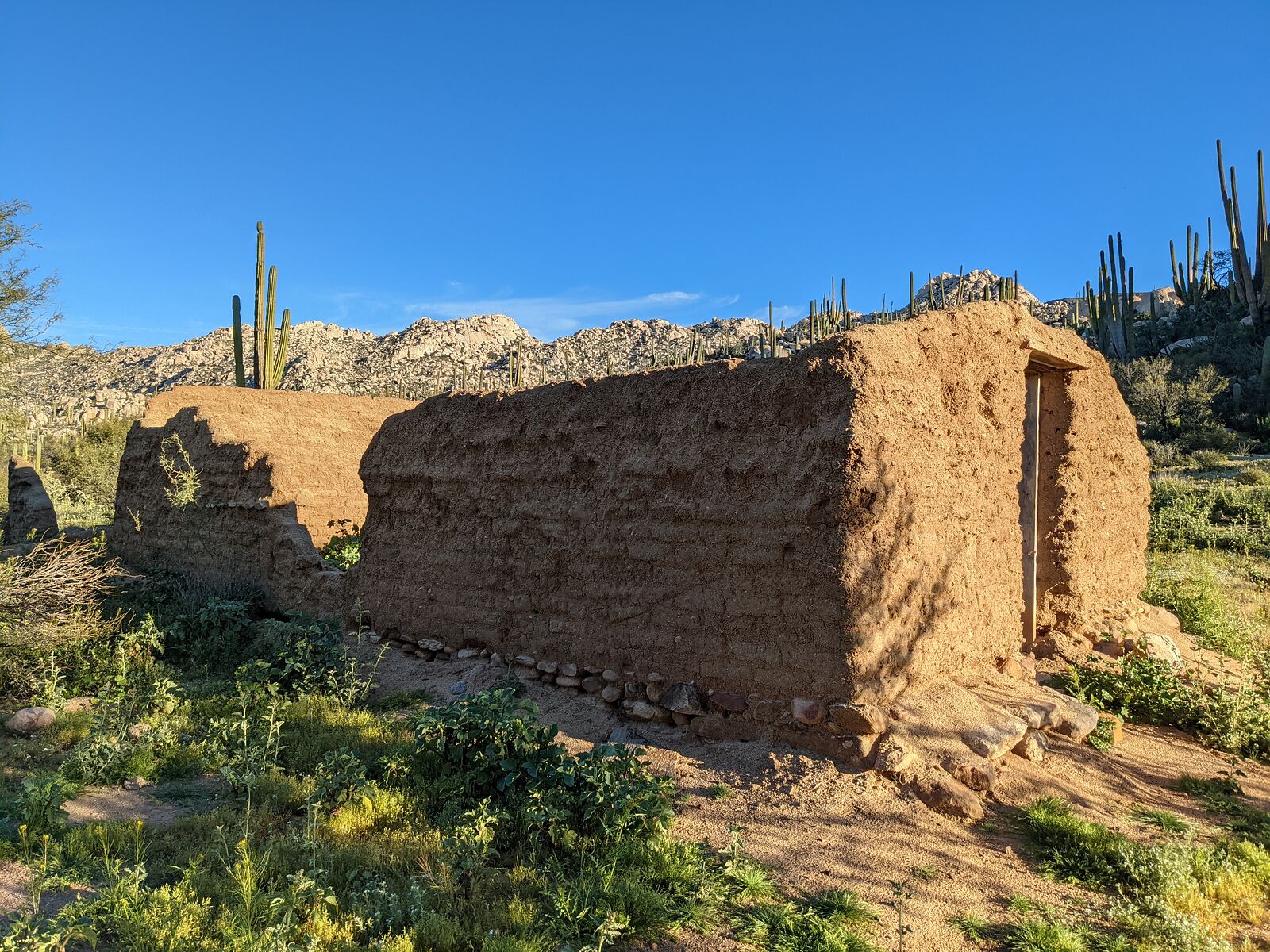
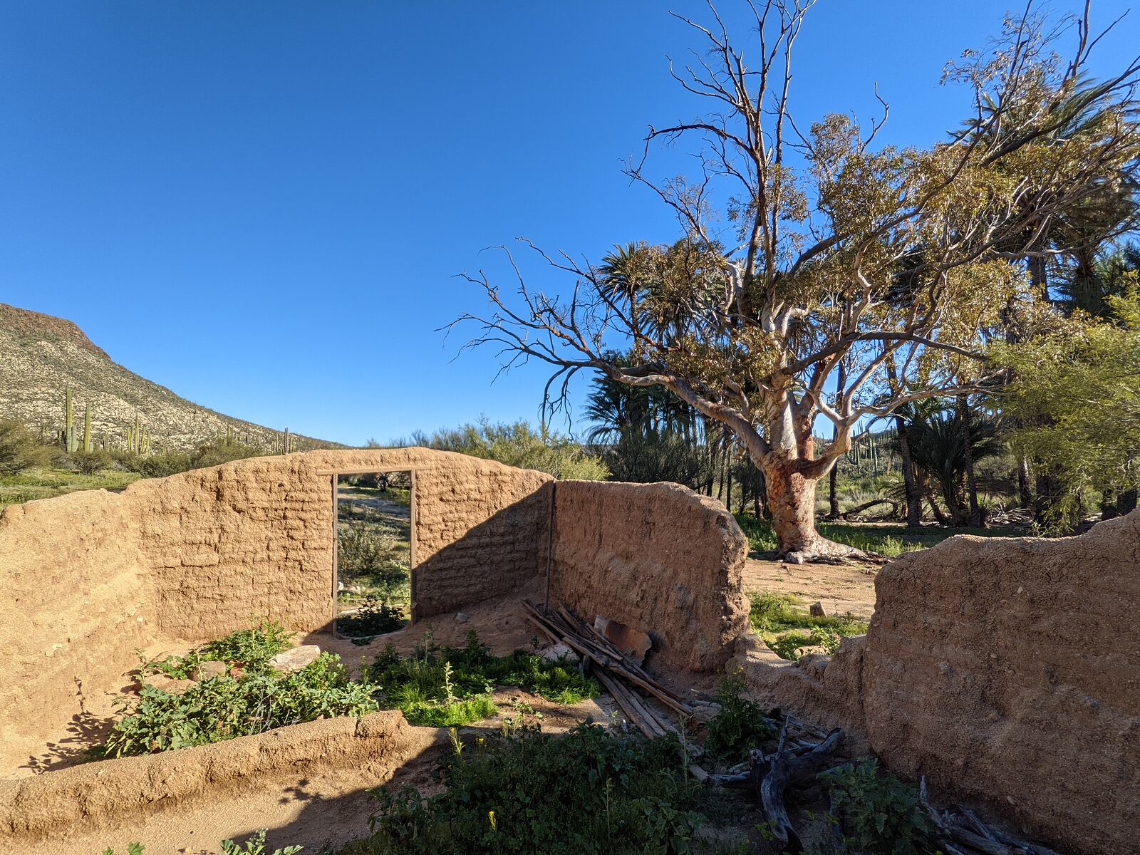
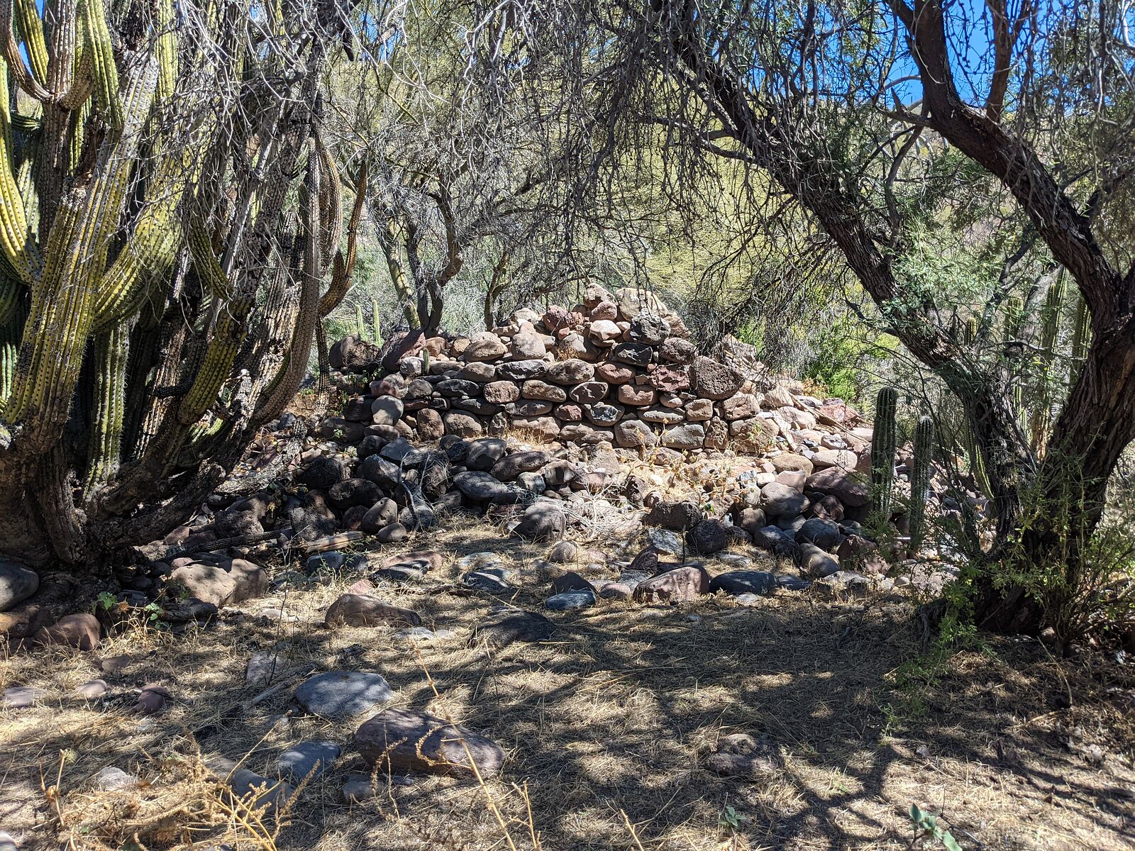
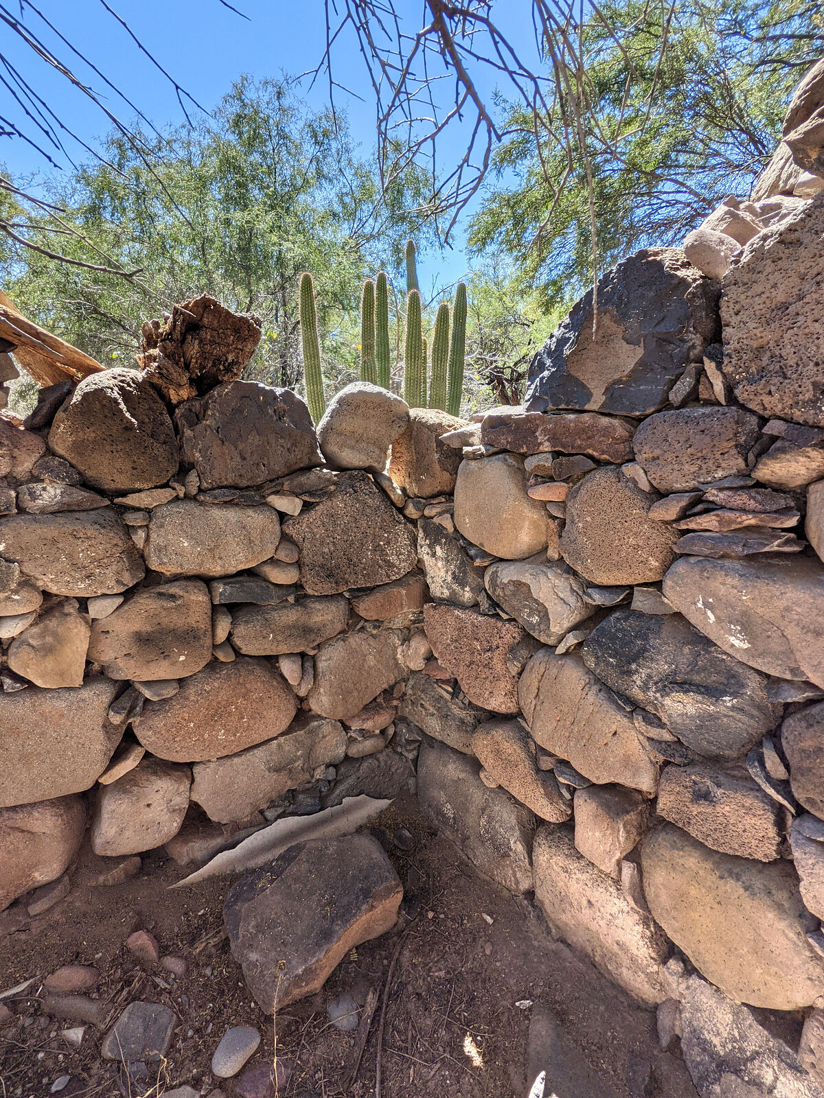
The remaining mission era structures the were hiding in the dense plant growth north of these pens. I found four stone walls of a little rectangular
building (GPS:26.2743,-111.7190), and a long stone wall heading southeast from there. DavidK indicates the rectangular building is the priest Padre
Mayorga's house. https://www.bajabound.com/bajaadventures/bajatravel/comondu_...
It looks like someone roughly added some stones to fill in a doorway at some point. I later read that in the Rancho la Capilla days, this padre's
house had been converted into a pigsty.
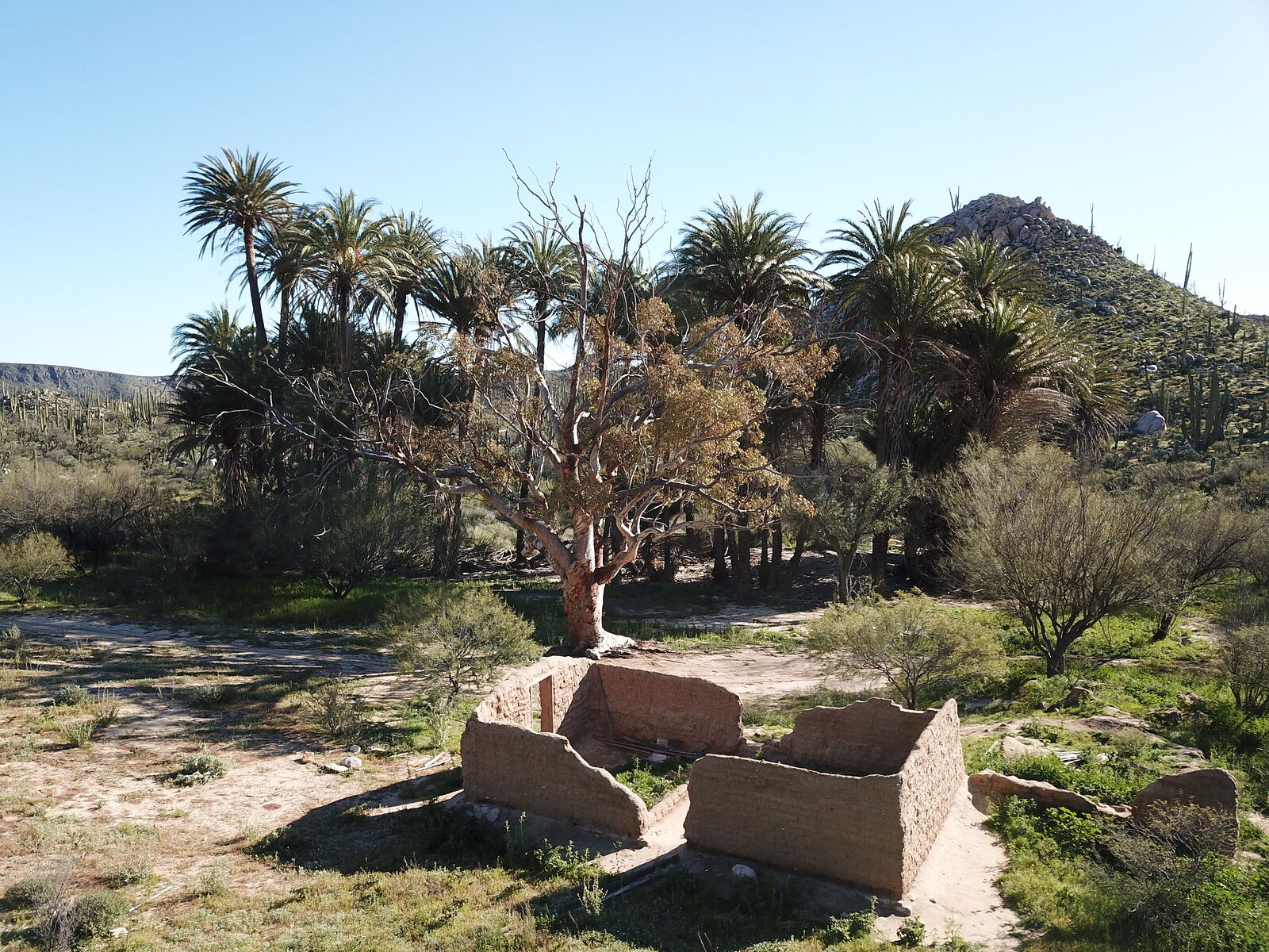
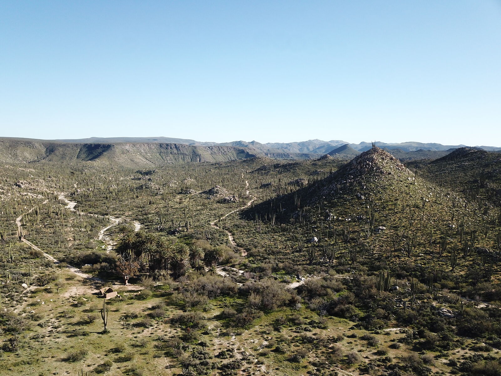
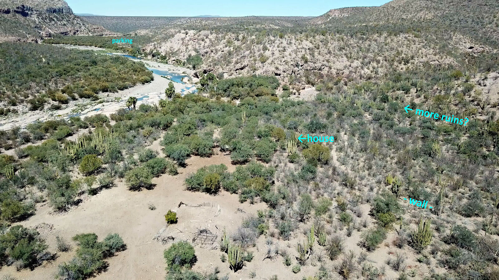
Some aerial drone views
I now see in satellite imagery that there are some more walls at (GPS:26.2750,-111.7185) -- which I somehow didn't notice while I was on-site. Guess
I'll have to return someday!
|
|
|
geoffff
Senior Nomad
Posts: 710
Registered: 1-15-2009
Member Is Offline
|
|
Road to La Purisma
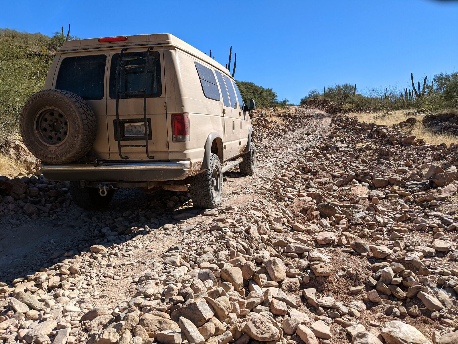
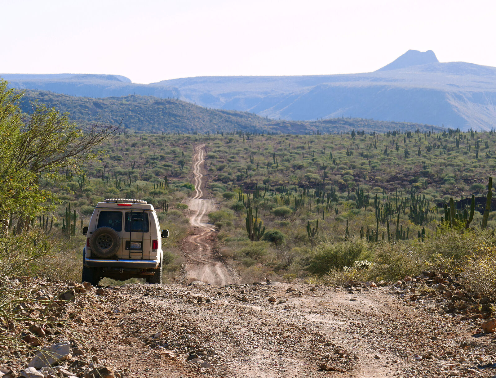
The rest of the road (about 20 miles) heading southwest to La Purisma was rough, but quite passable. It seemed to be used frequently. My
stiff-suspensioned van bounced along at an average of 12 MPH.
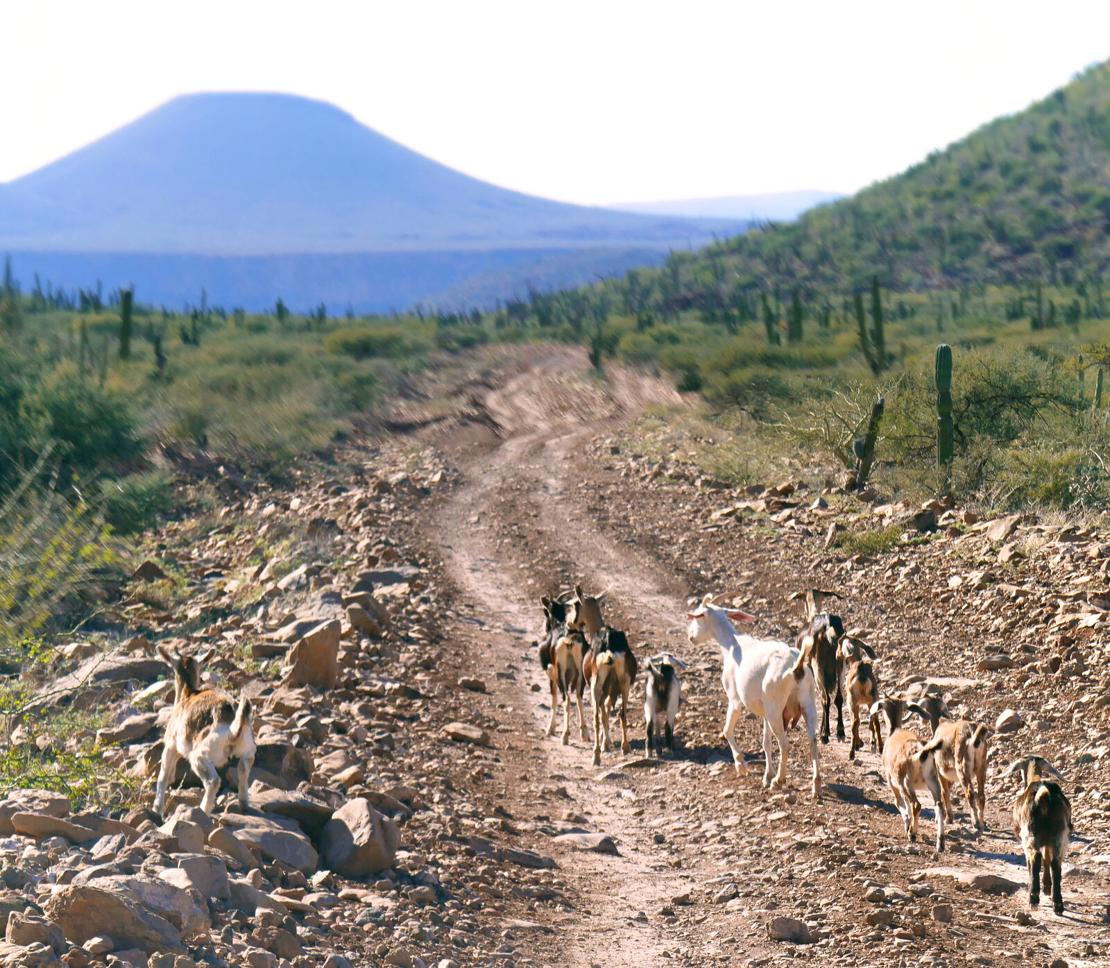
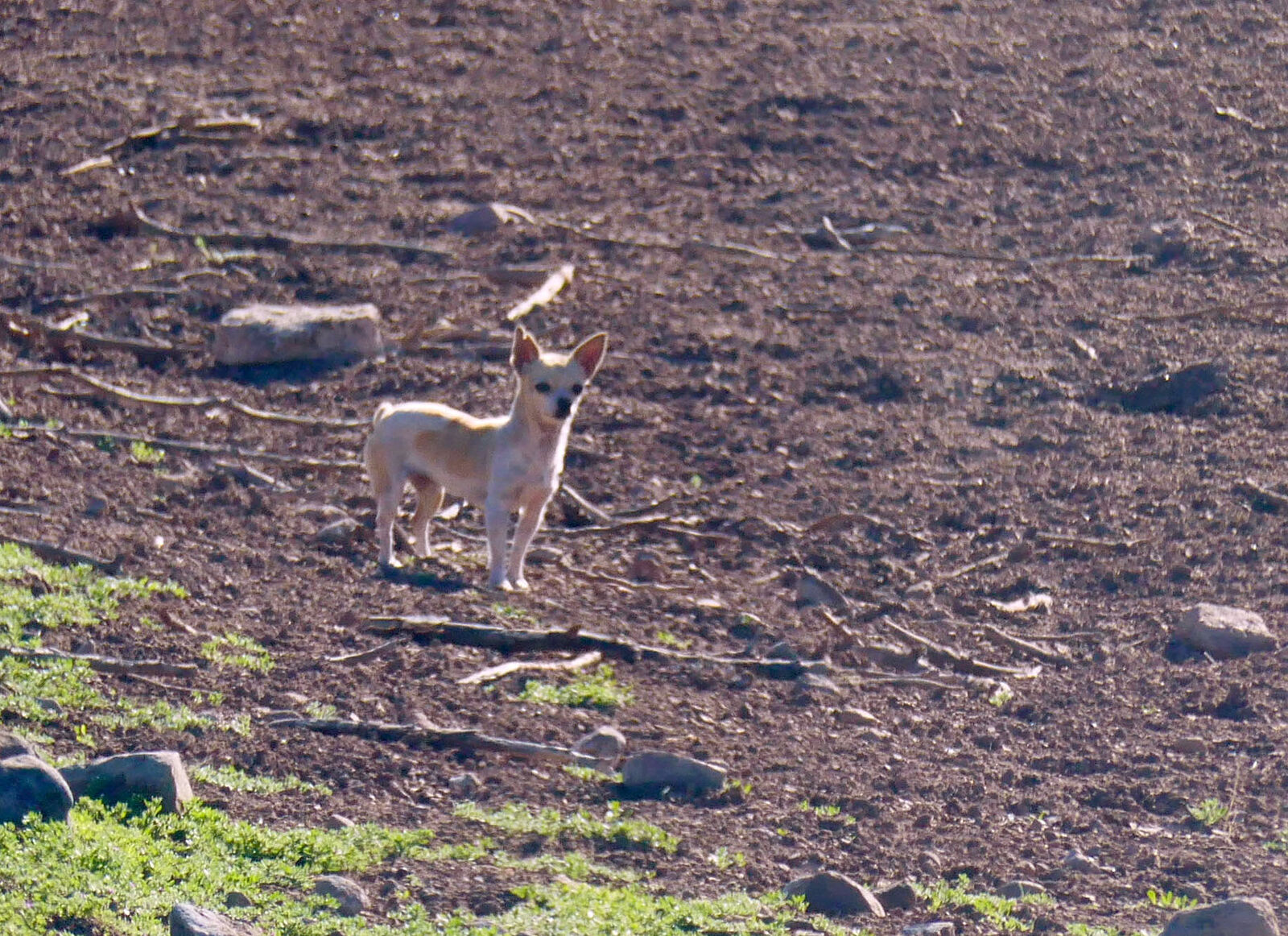
I saw no other vehicles -- only the occasional herd of wandering goats. Tiny dogs would run out to greet me as I passed the occasional rancho.
At the top of a steep grade down into town, is a cute little "park" overlooking the oasis of Rio la Purisma, with el Pilon off in the distance.
(GPS:26.2303,-112.0006) I considered camping there for the night -- it would be a beautiful spot to watch the sunset -- but this campsite was right by
the road -- there was too much traffic for my tastes. (A pickup truck passed by.) And, besides, it was only 3:30 -- so I continued on.
At the bottom of the grade I was waved down by a couple heading out of town in their Subaru. They asked me if they could find a gas station the way I
had come. I dissuaded them.
|
|
|
geoffff
Senior Nomad
Posts: 710
Registered: 1-15-2009
Member Is Offline
|
|
Camino San José de Guajademí
Next I headed north on Camino San José de Guajademí, a road that should lead all the way to Mulege. This road follows Arroyo Guajademi, which Harry
Crosby's book indicated was lined with hillside caves containing pictographs. Using hints in his book, I decided to try to find some of these caves.
The first 25 miles or so of road were in great shape -- recently graded -- but then it degraded to a rocky 12 MPH crawl.
Another beautiful water crossing at the oasis of Purisma Vieja. (GPS:26.3109,-112.1620)
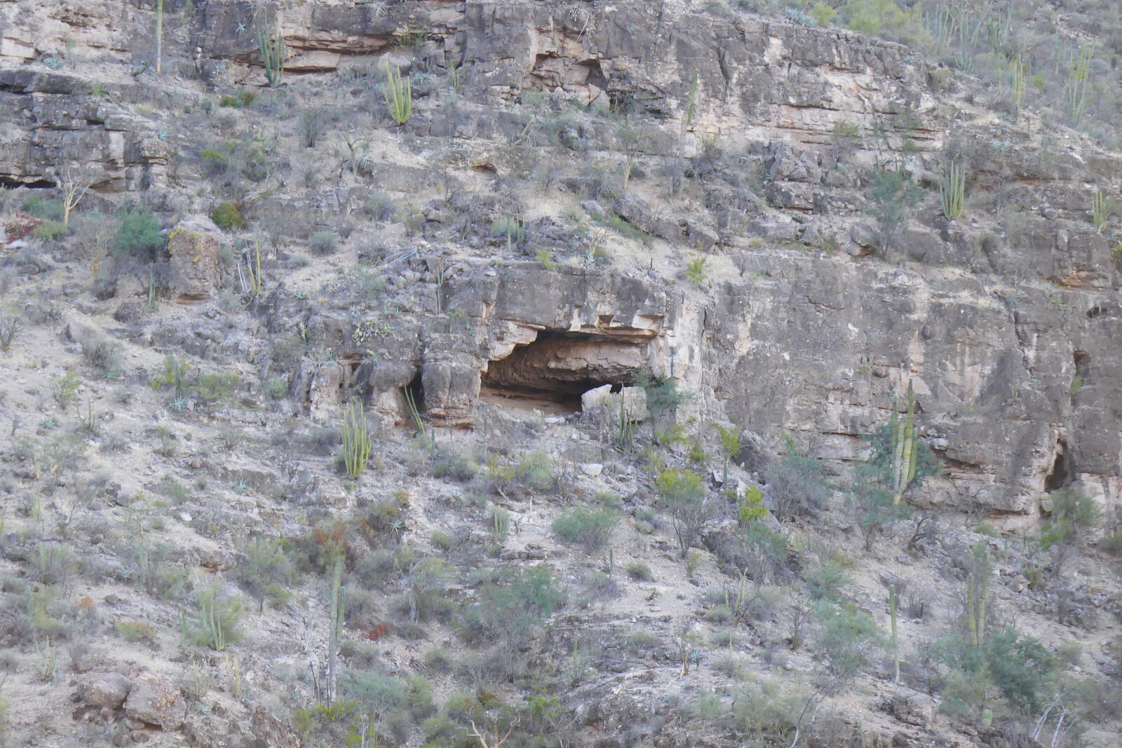
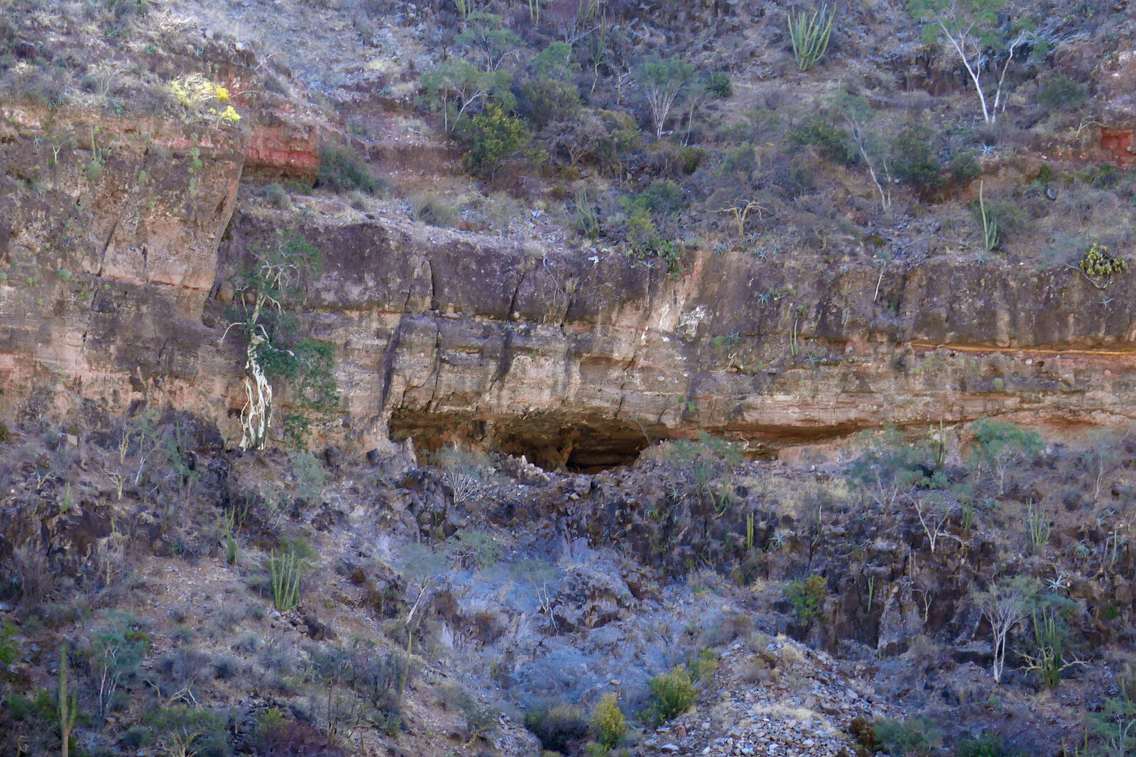
I finally camped nearby, and early the next morning I drove along, stopping frequently to peer at the hillsides through my binoculars, looking for
caves. It turns out that it's much easier to spot hillside caves when they are in shadow -- I'm glad I started early while the sun was low. Overhead
sun later in the day produced shadows which made it had to distinguish caves from everyday overhangs.
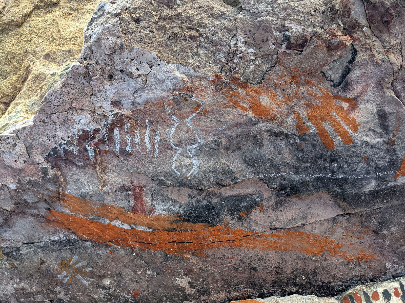
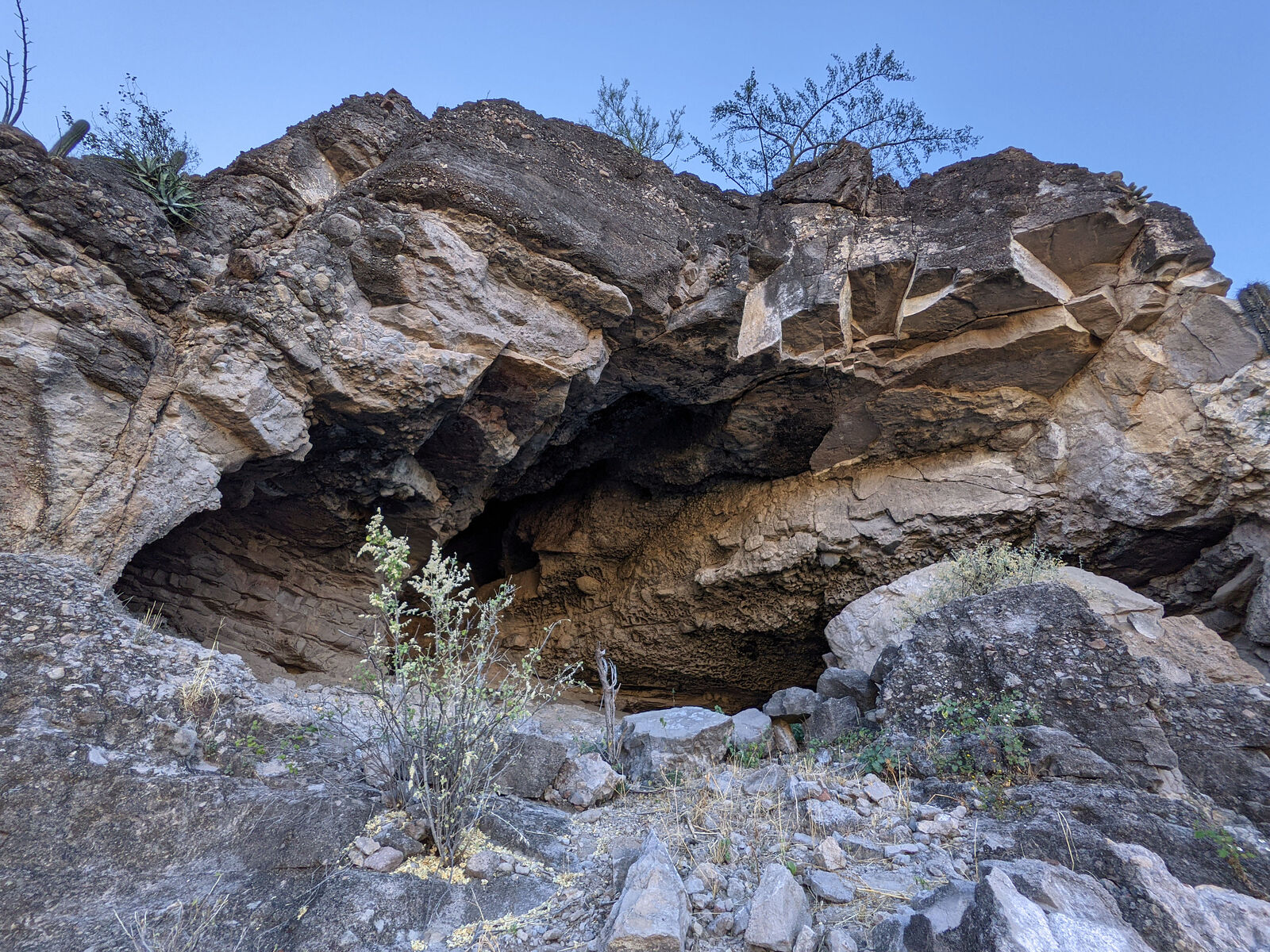
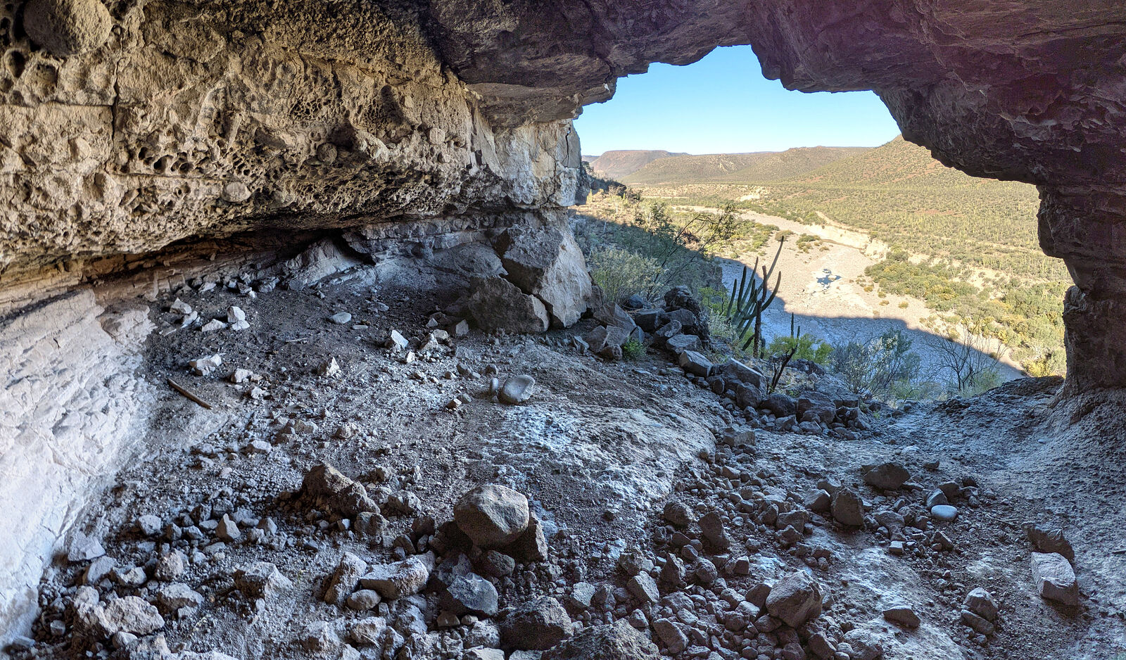
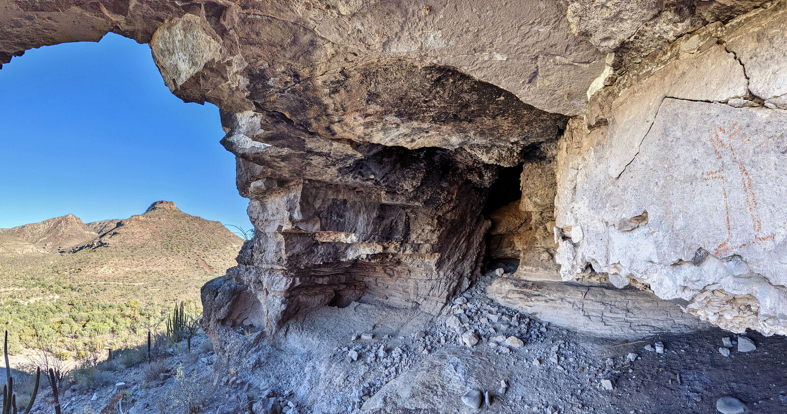
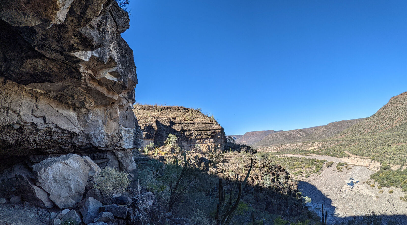
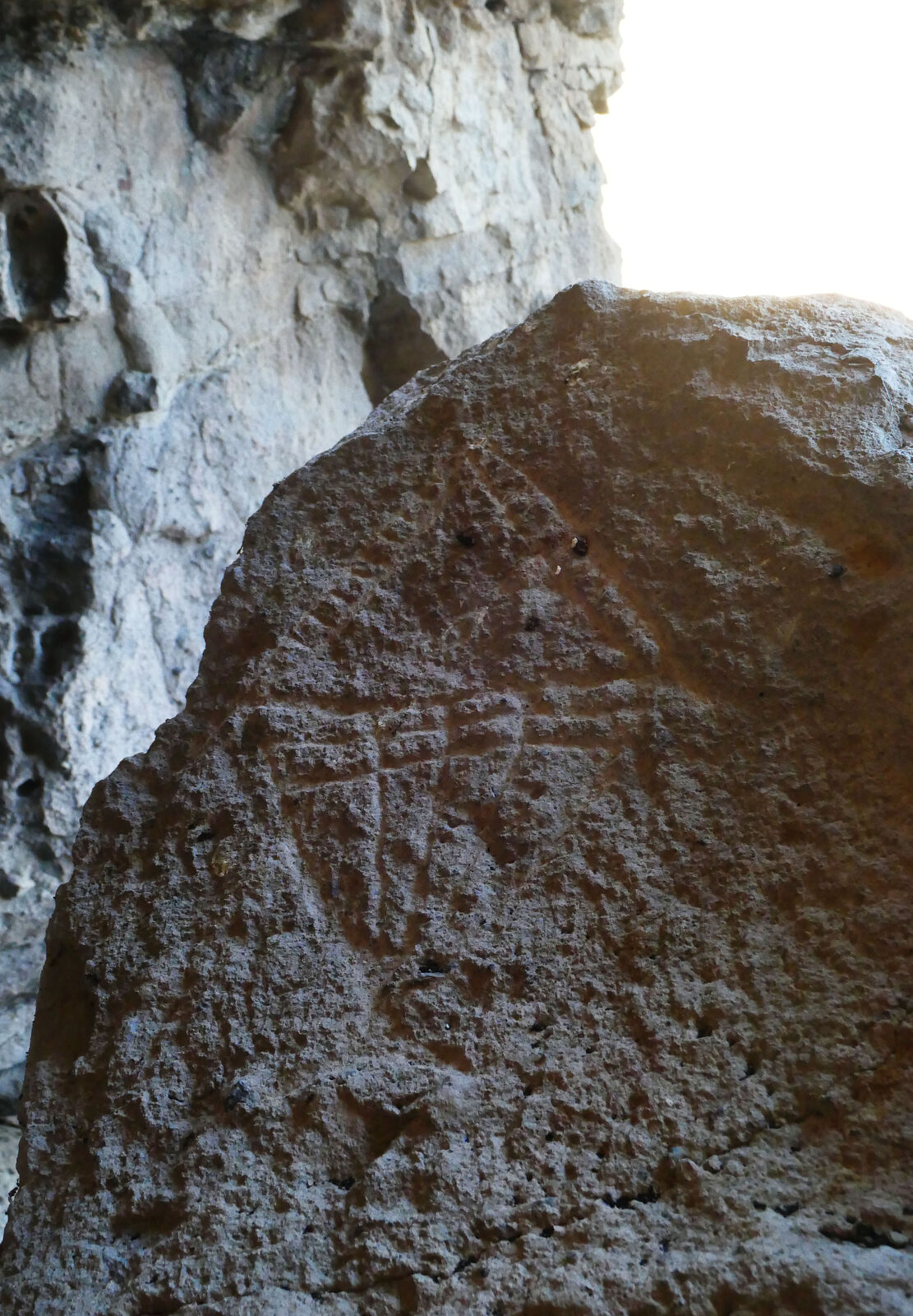
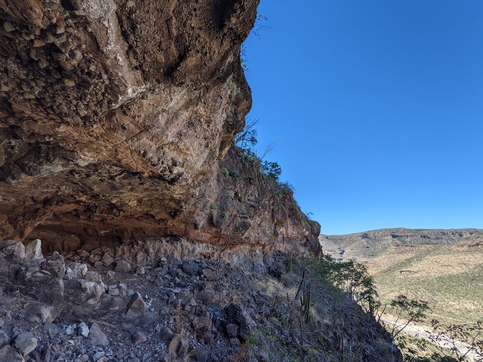
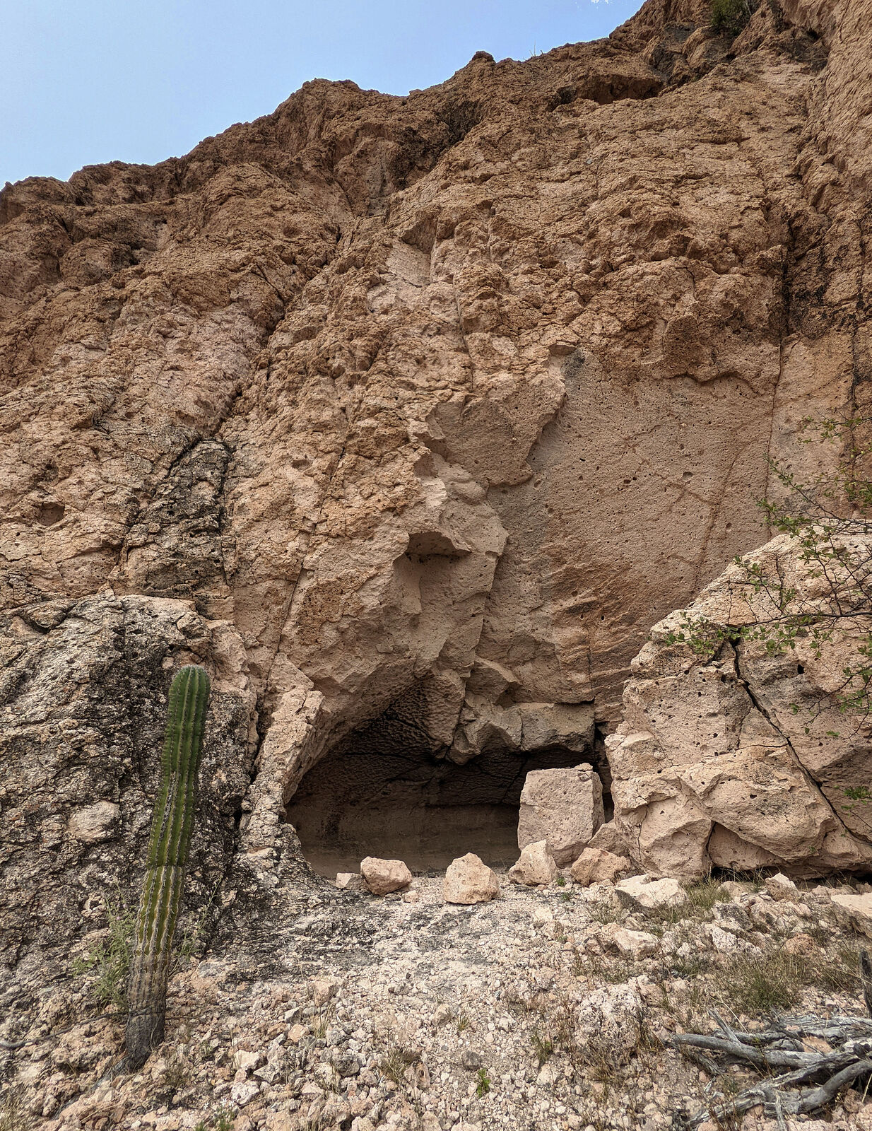
Near Agua Puerca (GPS:26.4028,-112.1458) I spotted my first cave! One that Harry Crosby described as "definitely worth the stop." I scrambled my way
up the steep slope to see what I could find.
As Harry Crosby described, much of the art had unfortunately fallen from the walls, as chunks of the cave wall crumbled away. I briefly considered
trying to take photos with these fallen chunks (I located some) held by hand back into place -- but I know it's best not to disturb anything.
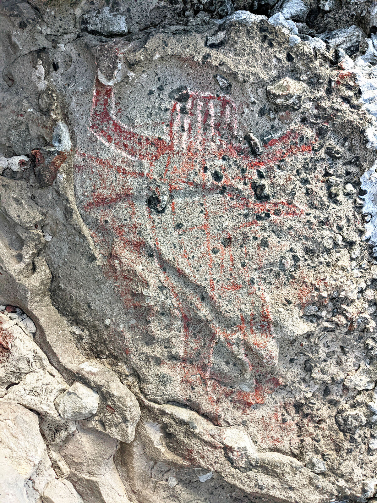
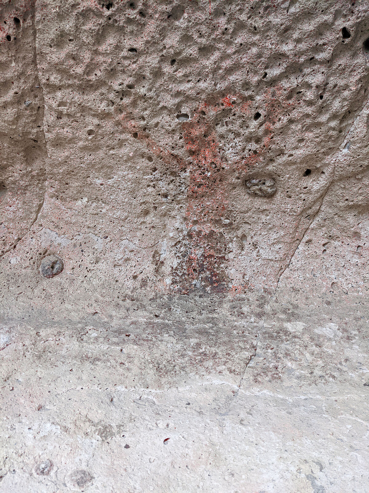
The most interesting pictograph in this cave was a human figure with red and white stripes for a head. I hadn't seen anything like this before.
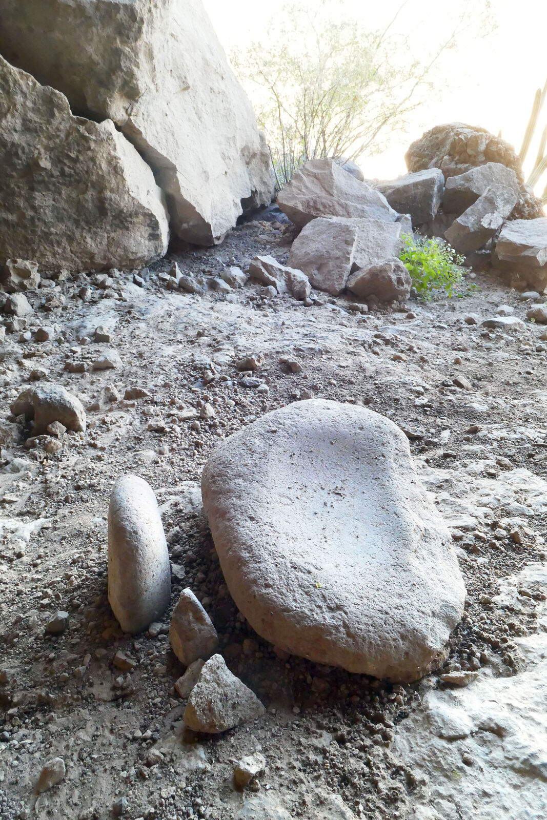
A little shelf on the interior wall held lots of stone tools. There were also some metates and carved rocks.
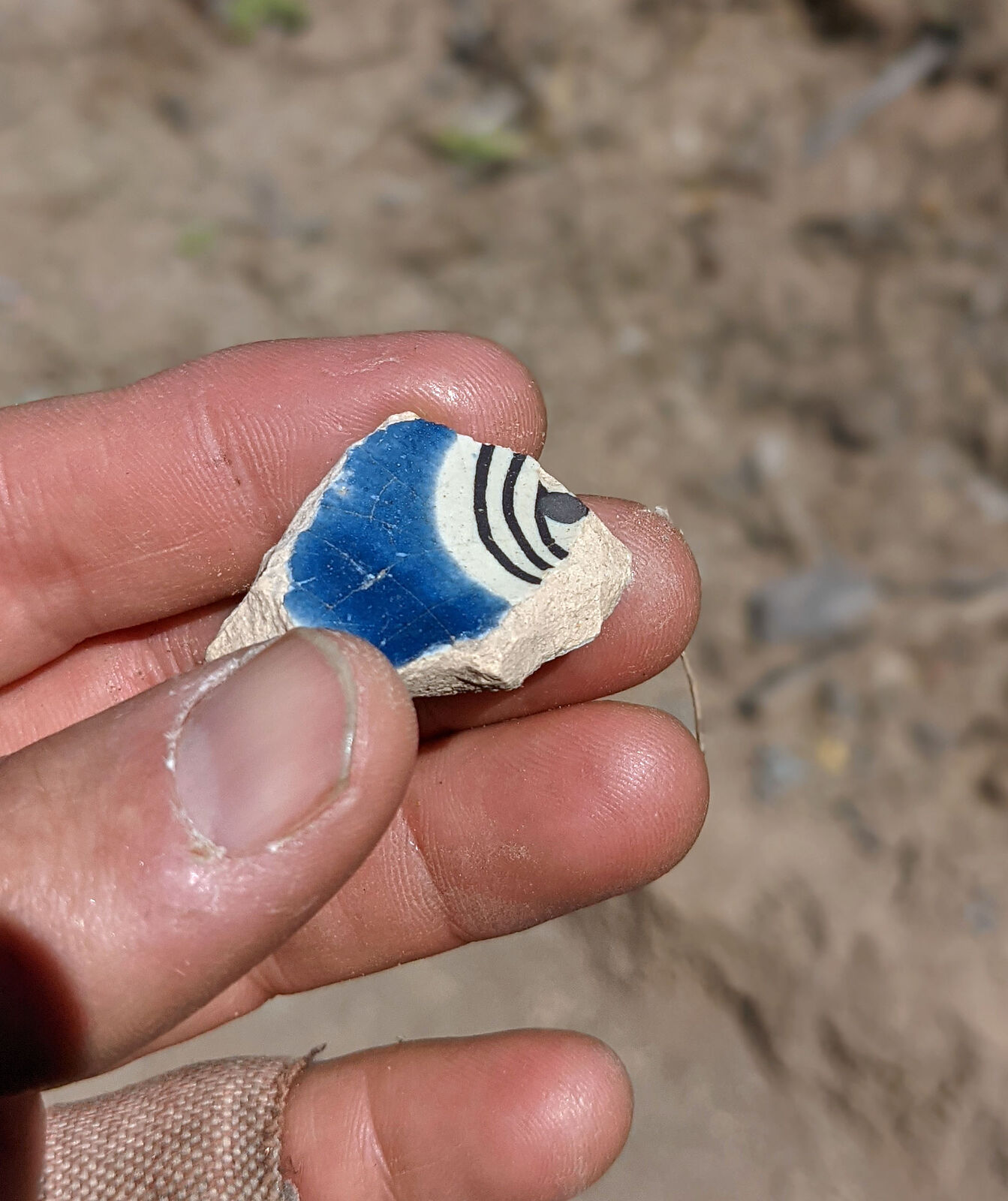
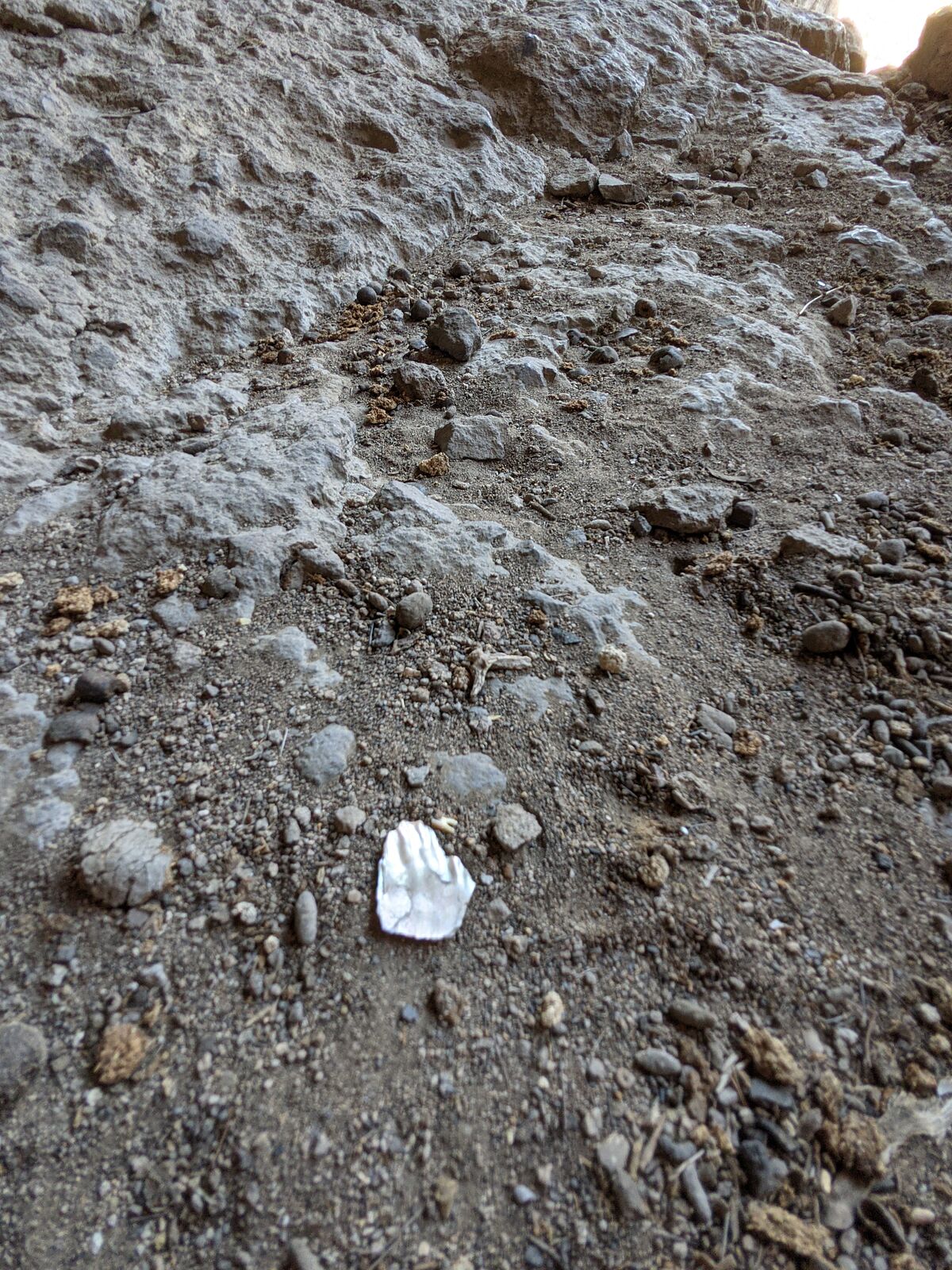
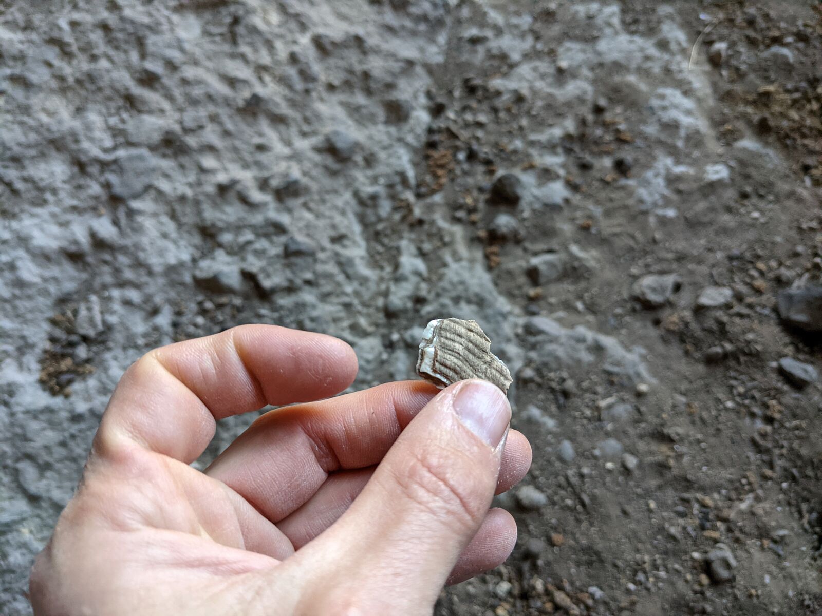
I spotted something shiny on the ground. A piece of plastic? No -- a bit of seashell. I was many miles from the shore.
=====================================================
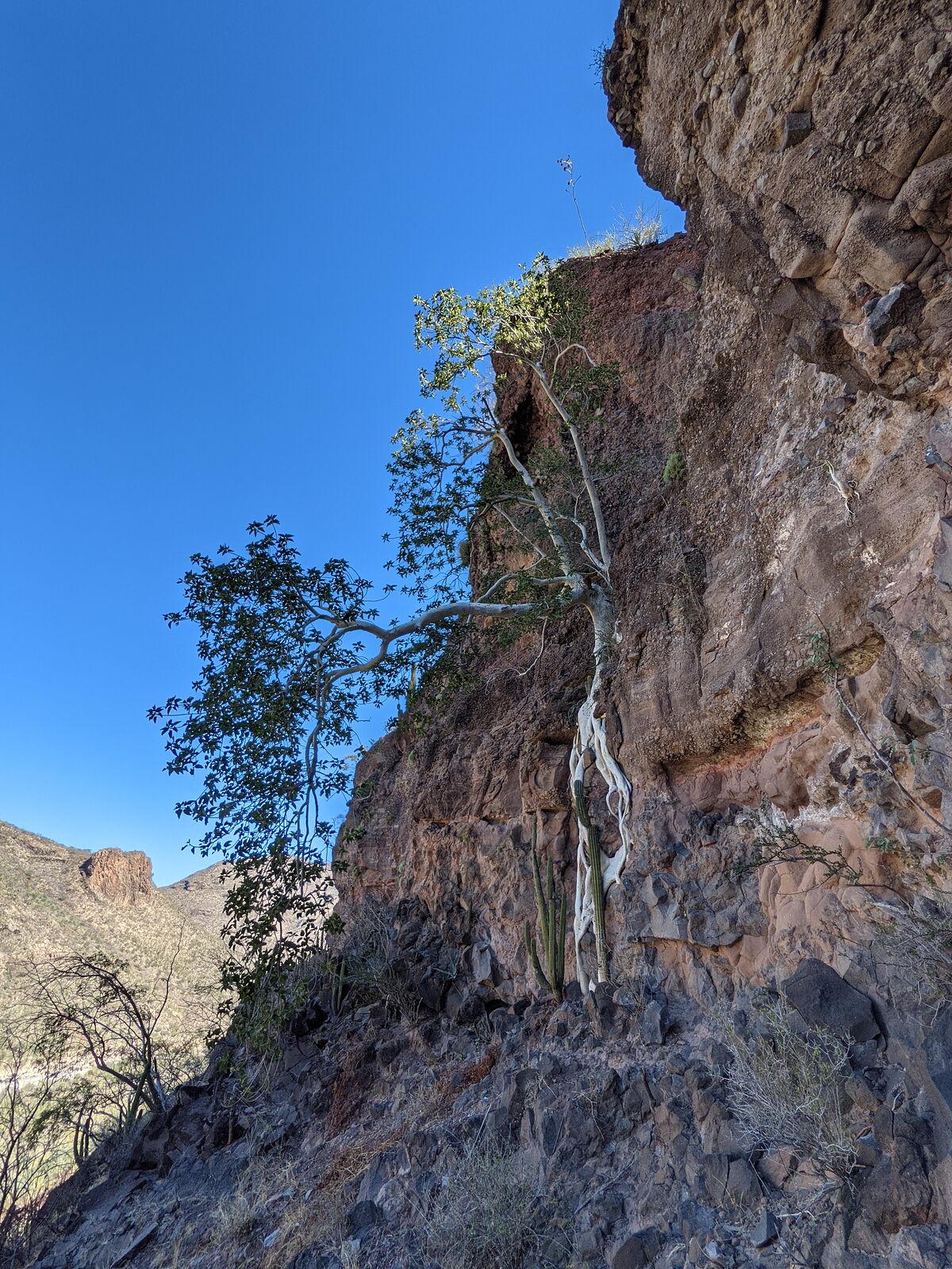
I spotted another cave along the road, and scrambled up the slope again. (GPS:26.4864,-112.1278) But this cave had no rock art. There was a nice fig
tree climbing the cliff face.
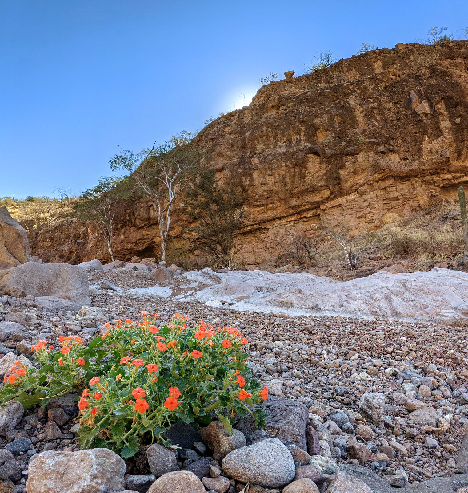
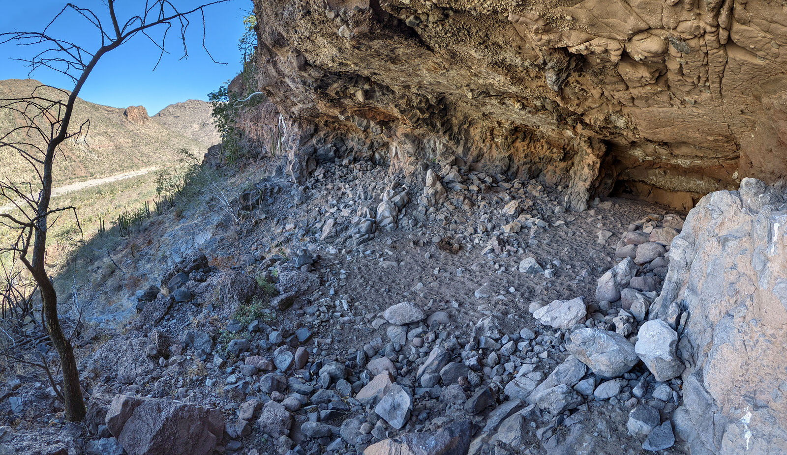
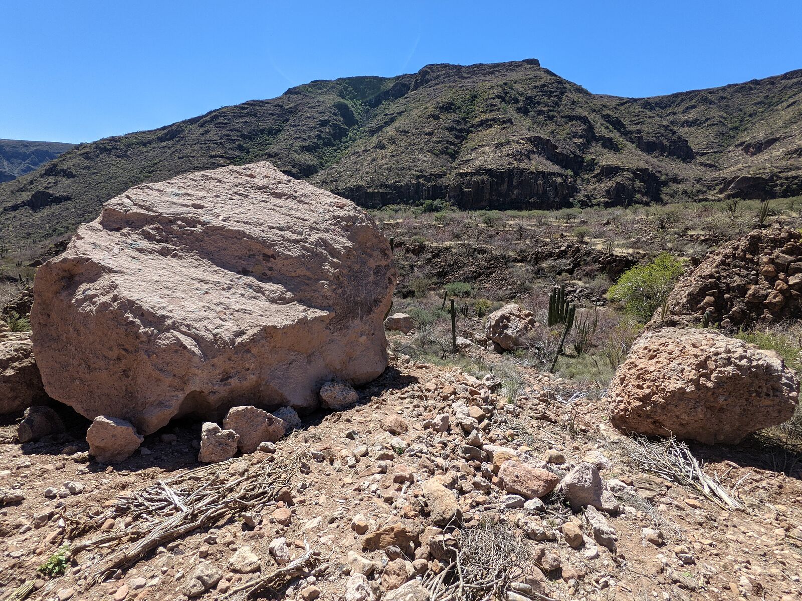
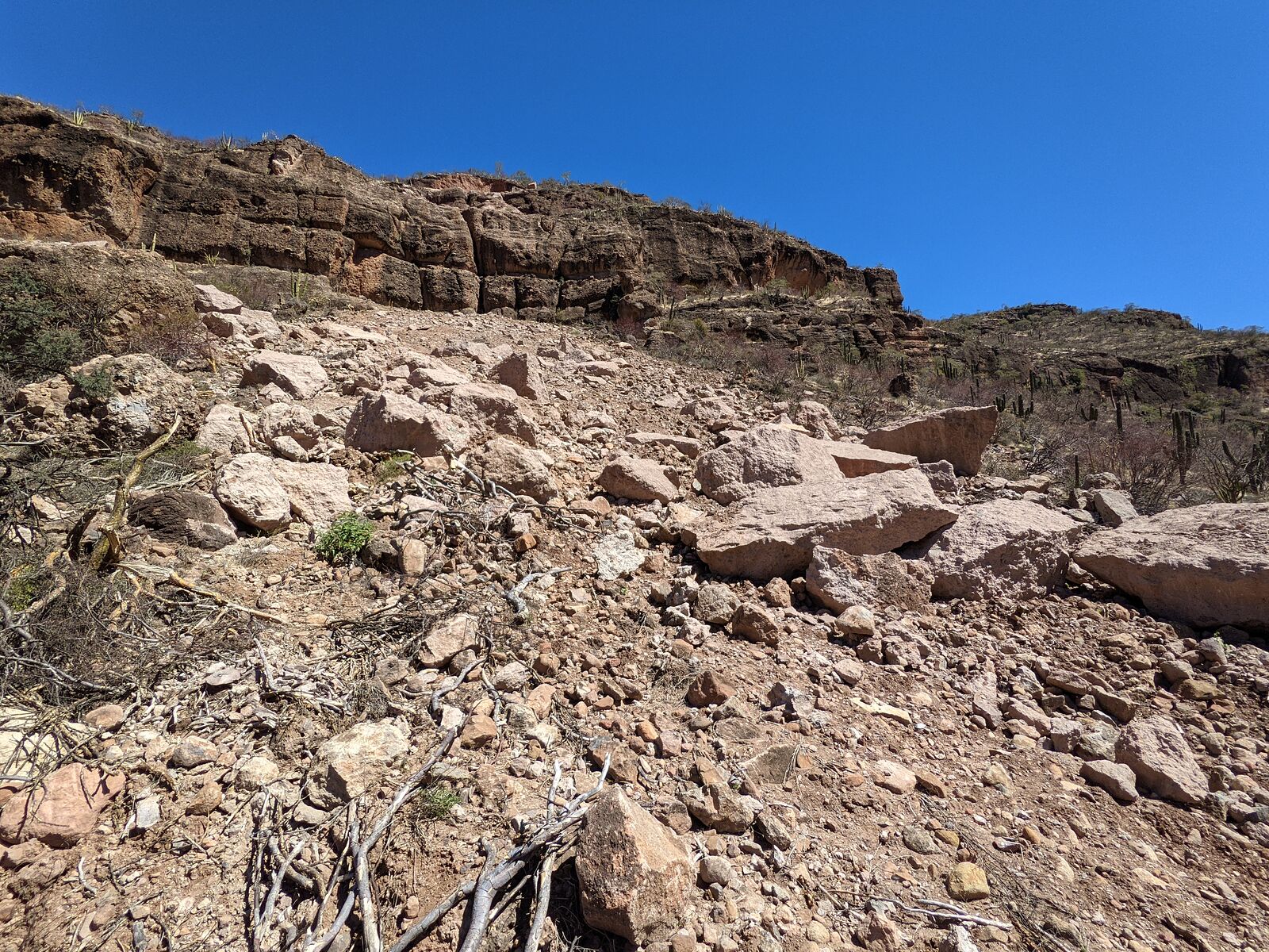
A little further up the road, at Arroyo el Chile, is another pictograph site that Harald has mentioned here on BN. [edit: site is called "El
Chavalito"] I parked and started hiking up the valley. About a half mile up, I encountered this -- a huge landslide! It was maybe 30 yards wide and
extended all the way up the 200-yard slope to the cliffs at the top. It was mind-blowing to try imagining these huge boulders rolling down the hill.
There was no new growth in the exposed red dirt -- so this all must have happened very recently. Satellite imagery from earlier in 2023 does not show
anything unusual here.
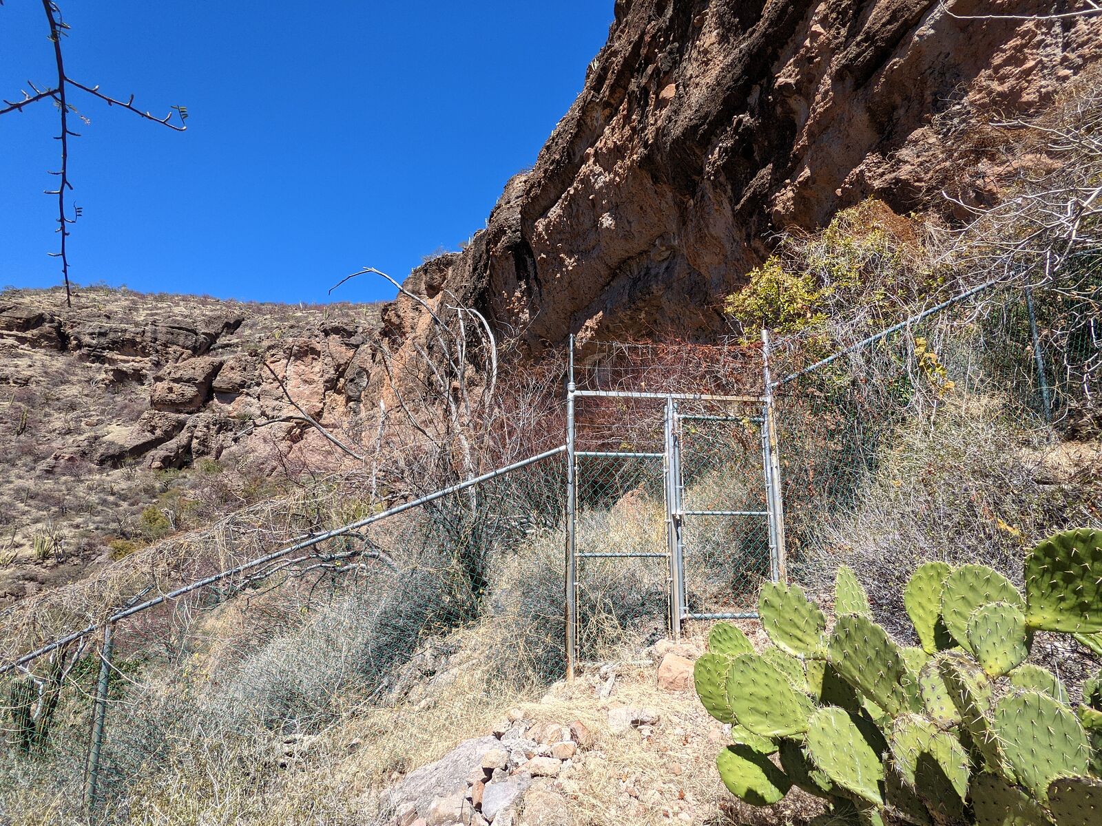
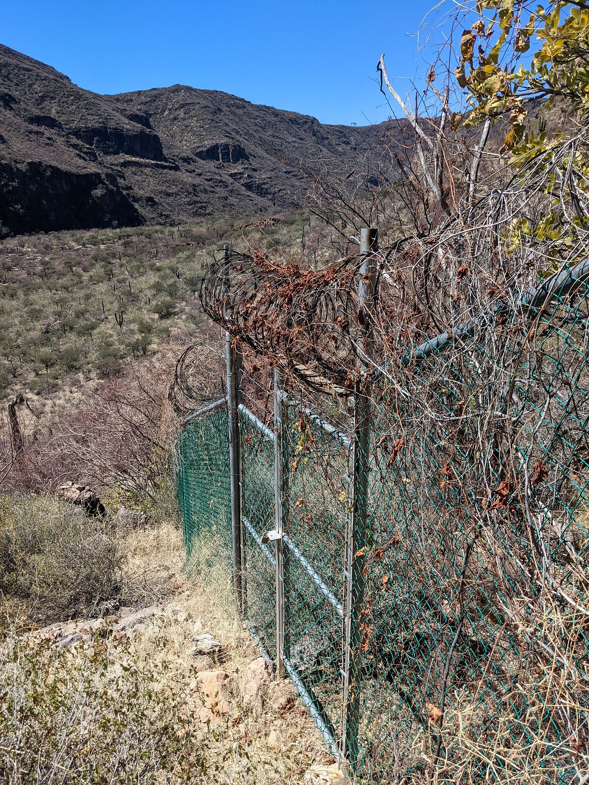
I continued on. Unfortunately, after my sweaty hike up the hillside, I encountered this: a locked gate, and chain link fence,
complete with coiled razor wire! 
[Edited on 4-6-2023 by geoffff]
|
|
|
geoffff
Senior Nomad
Posts: 710
Registered: 1-15-2009
Member Is Offline
|
|
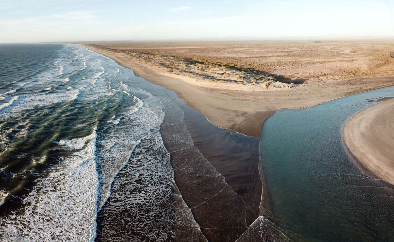
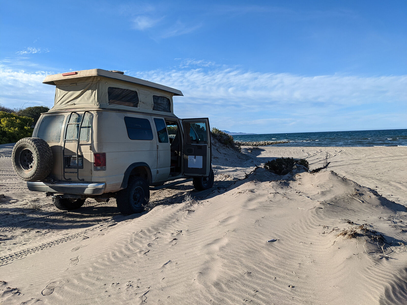
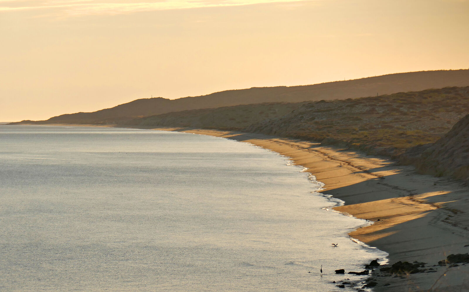
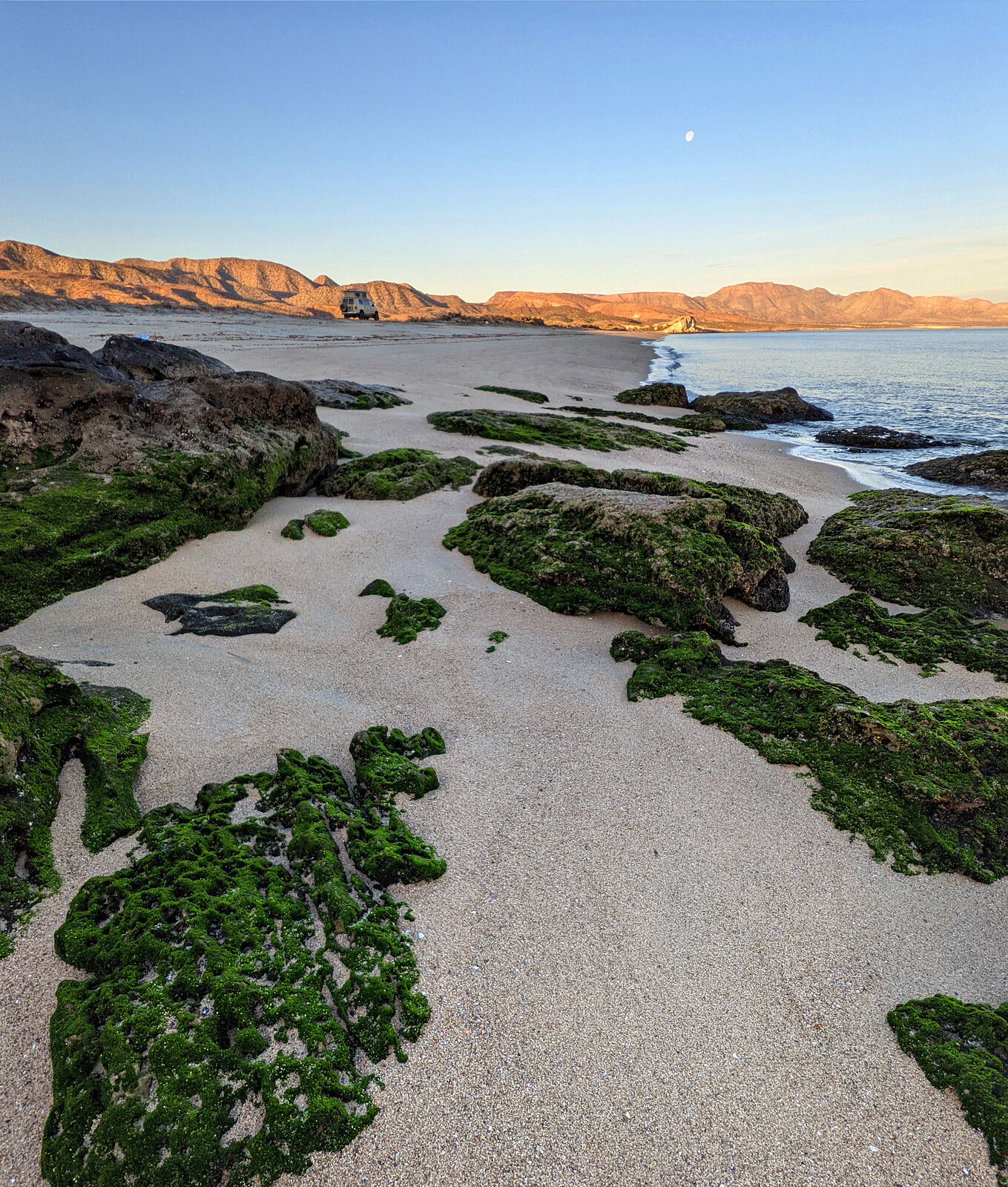
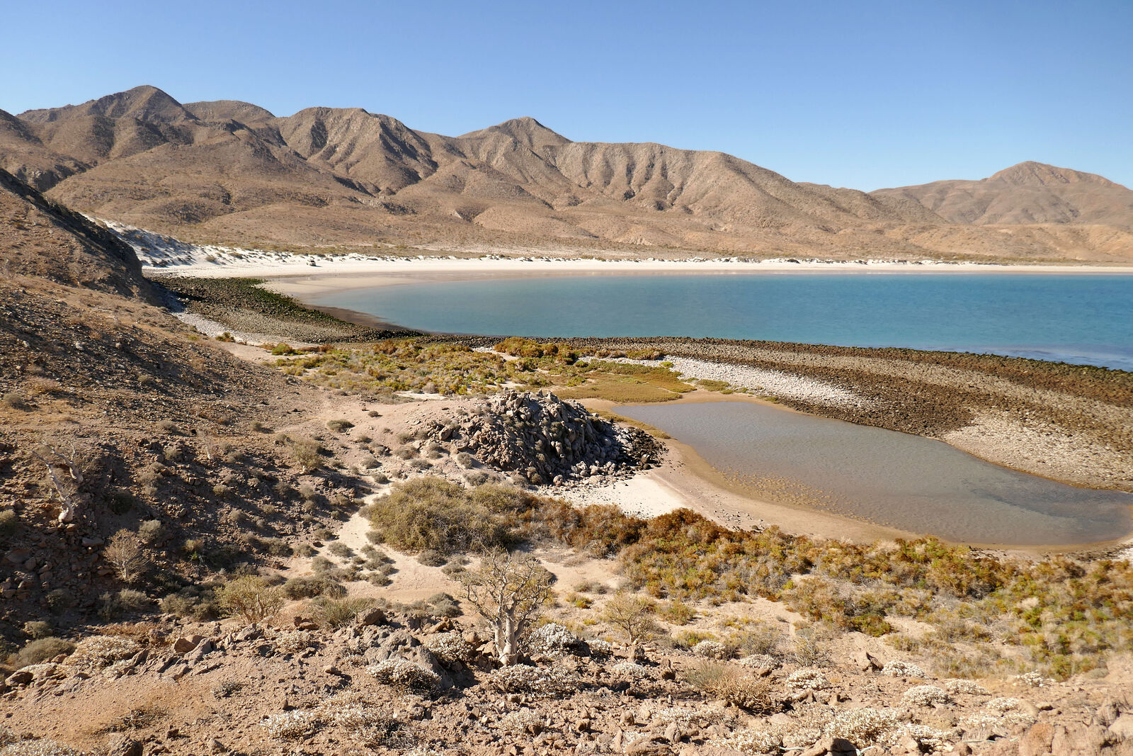
Bocanita San Rafael
After all that dusty hiking and scratchy scrambling, it was time for a swim. Bocanita San Rafael -- the beach at the mouth of "La Poza" -- looked
interesting, and not too distant. (GPS:25.7481,-112.1008) Deciding to not battle my way all the way north to Mulege, I turned around and headed for
the beach.
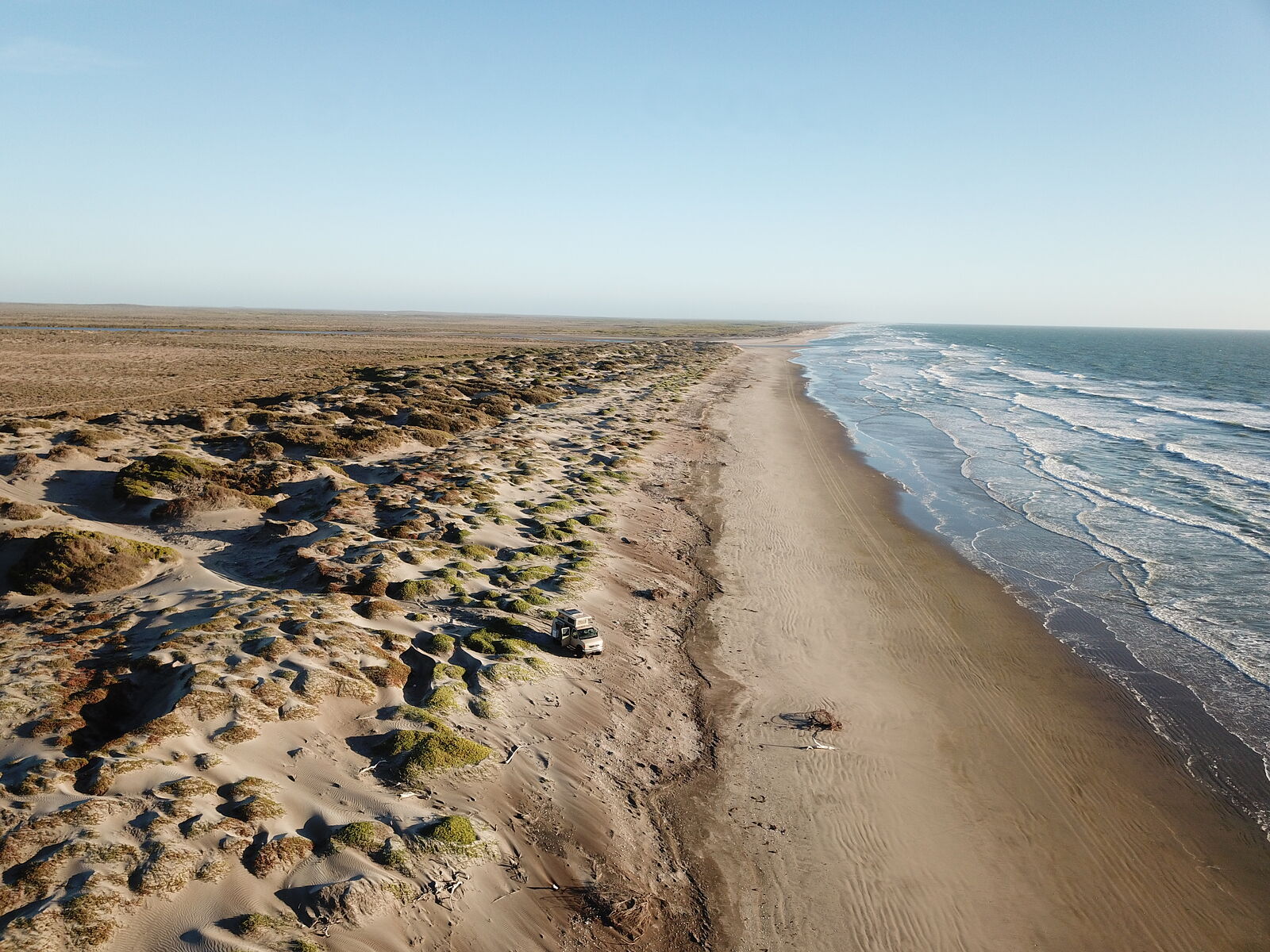
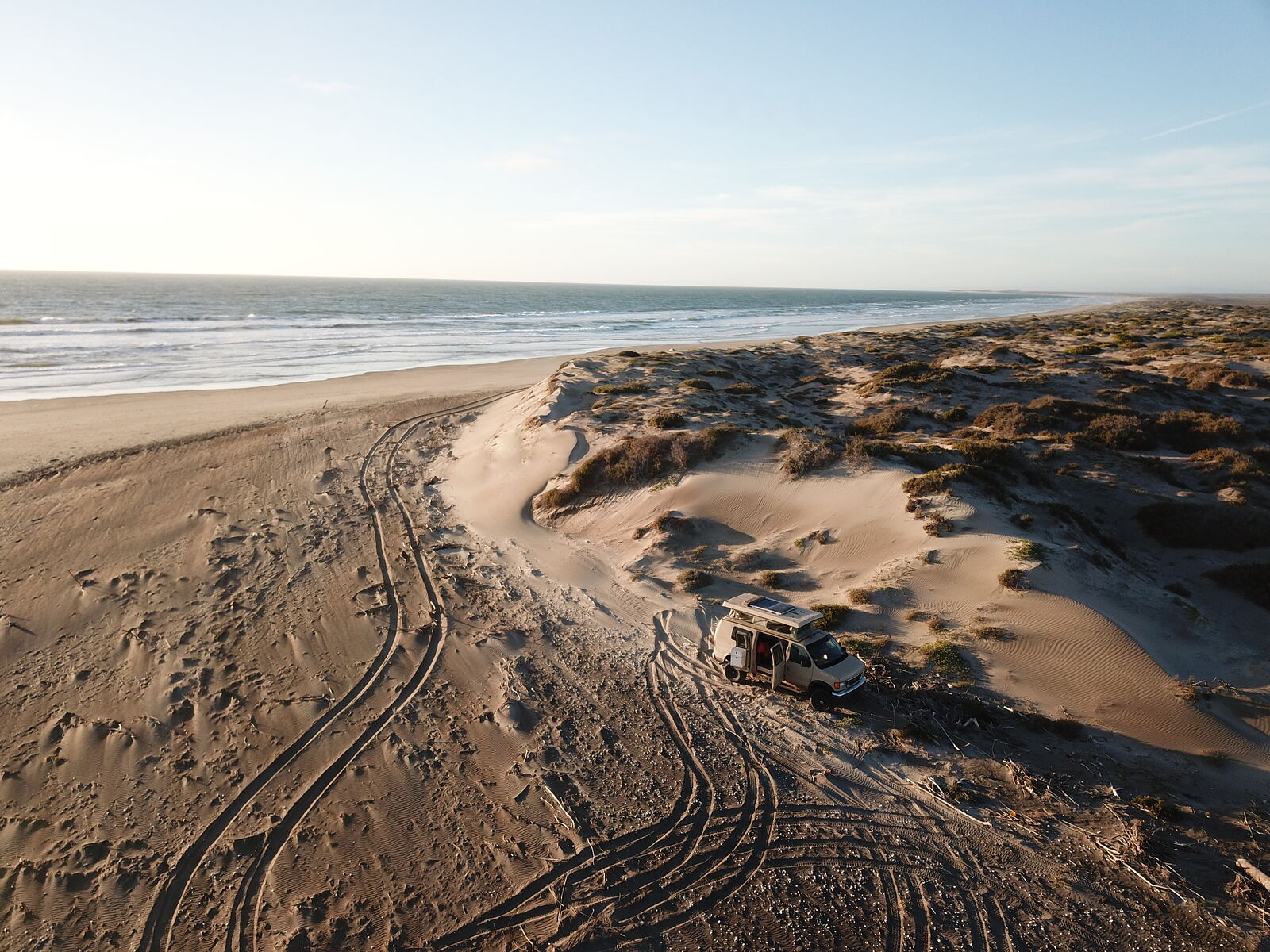
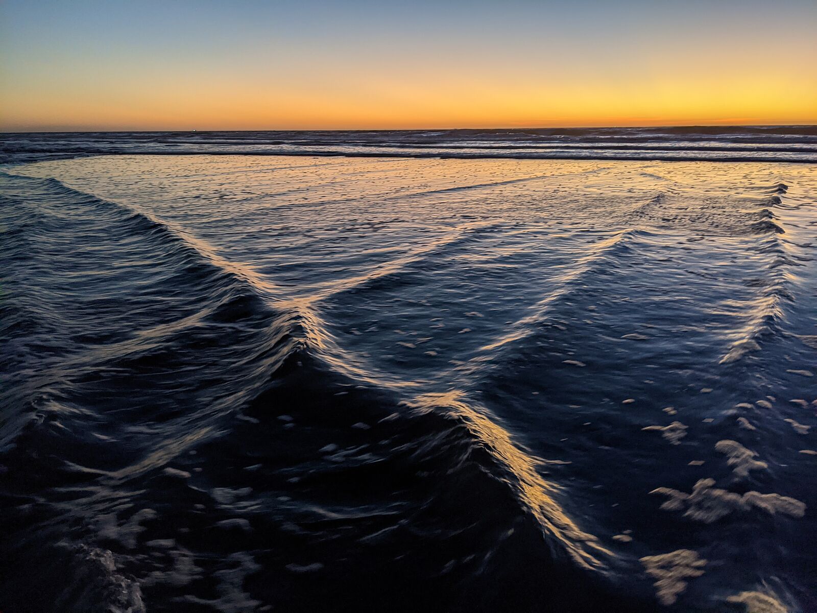
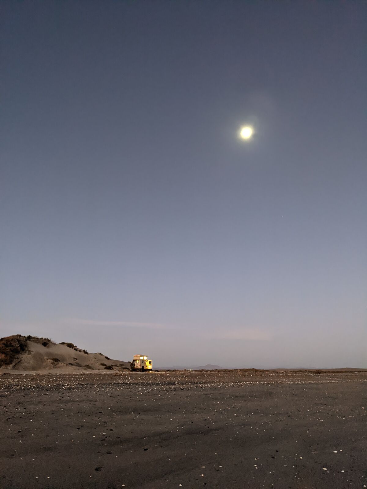
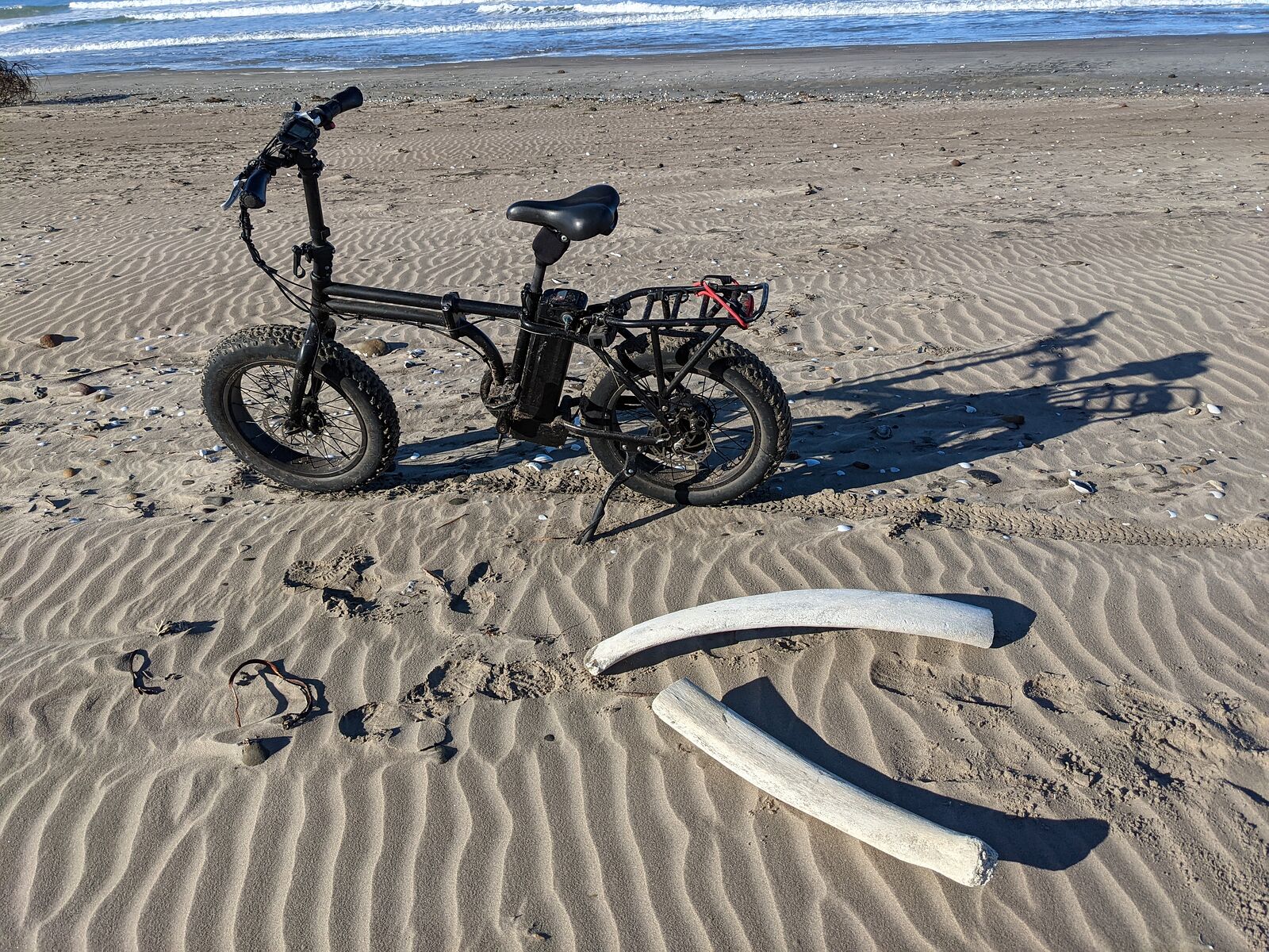
Strong winds were coming from the northwest, so I ended up camping in a bit of a wind shadow behind the dunes at the mouth of the river. This turned
out to be an excellent spot to swim.
As the sun set, I watched rippling water patterns forming where the ocean waves met the river flow.
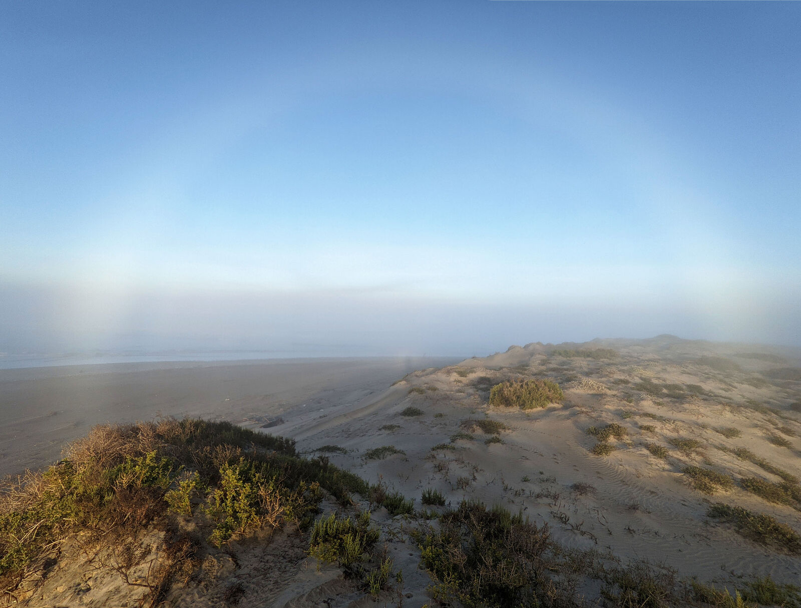
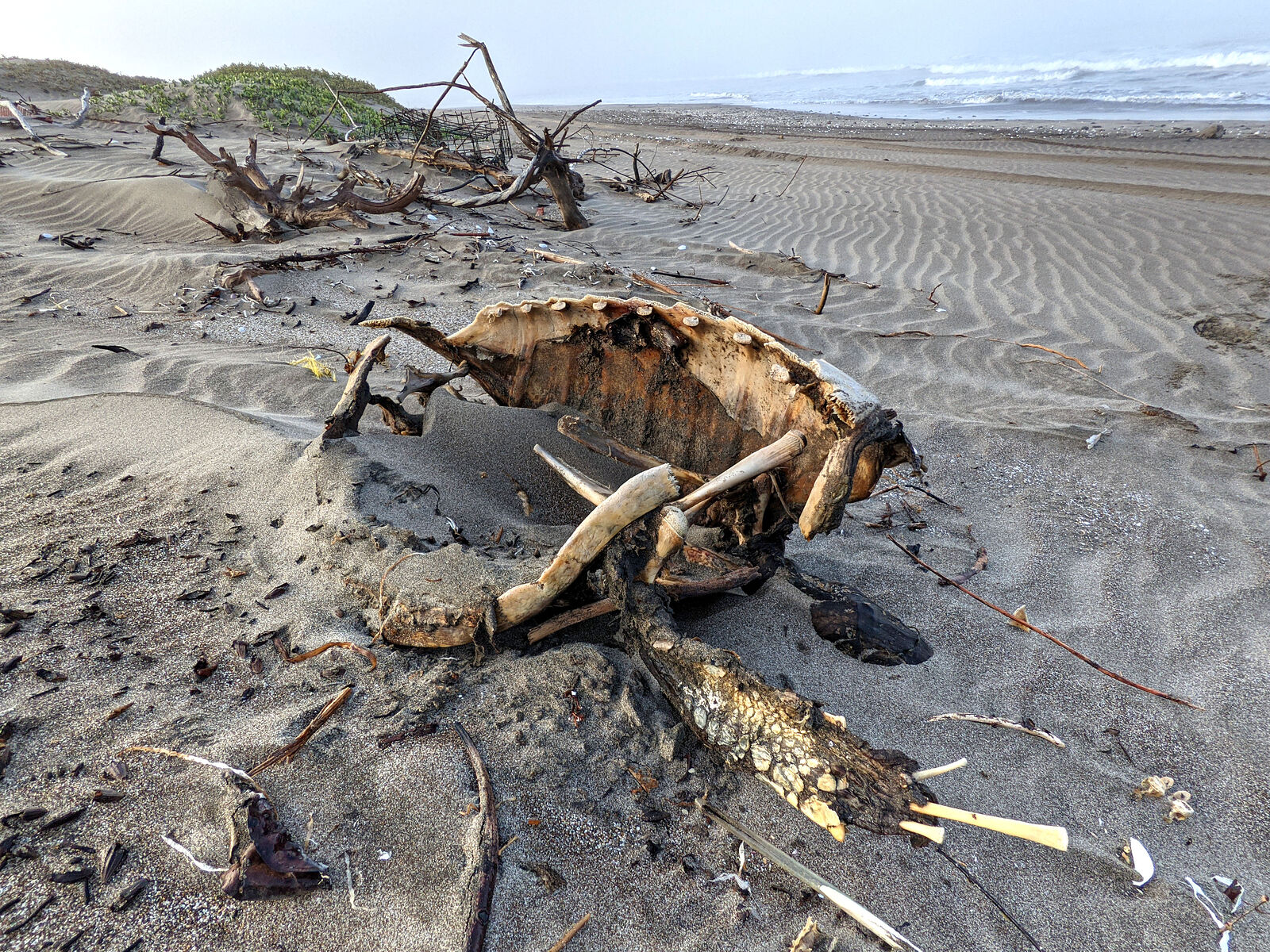
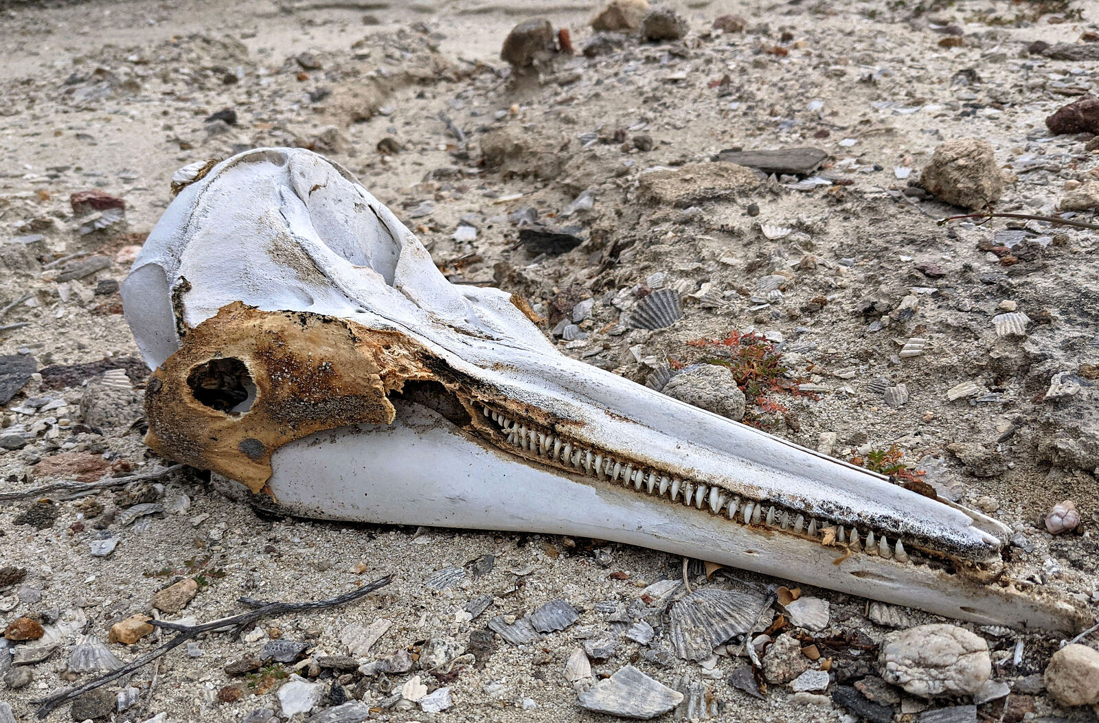
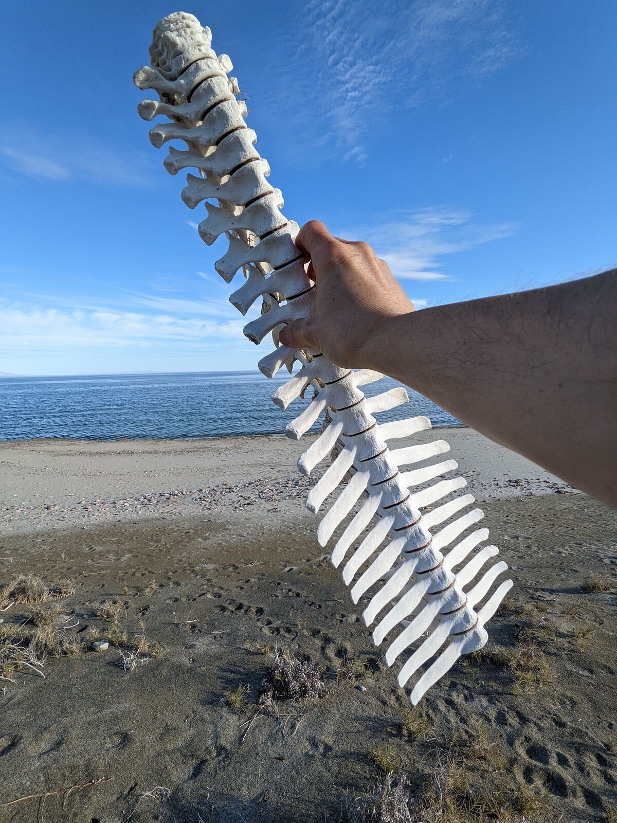
In the morning, the fog rolled in.
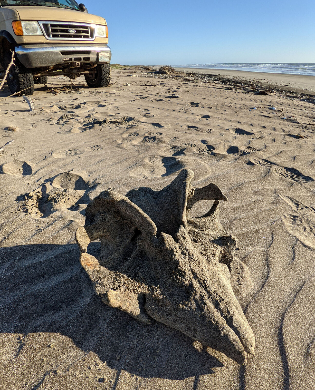
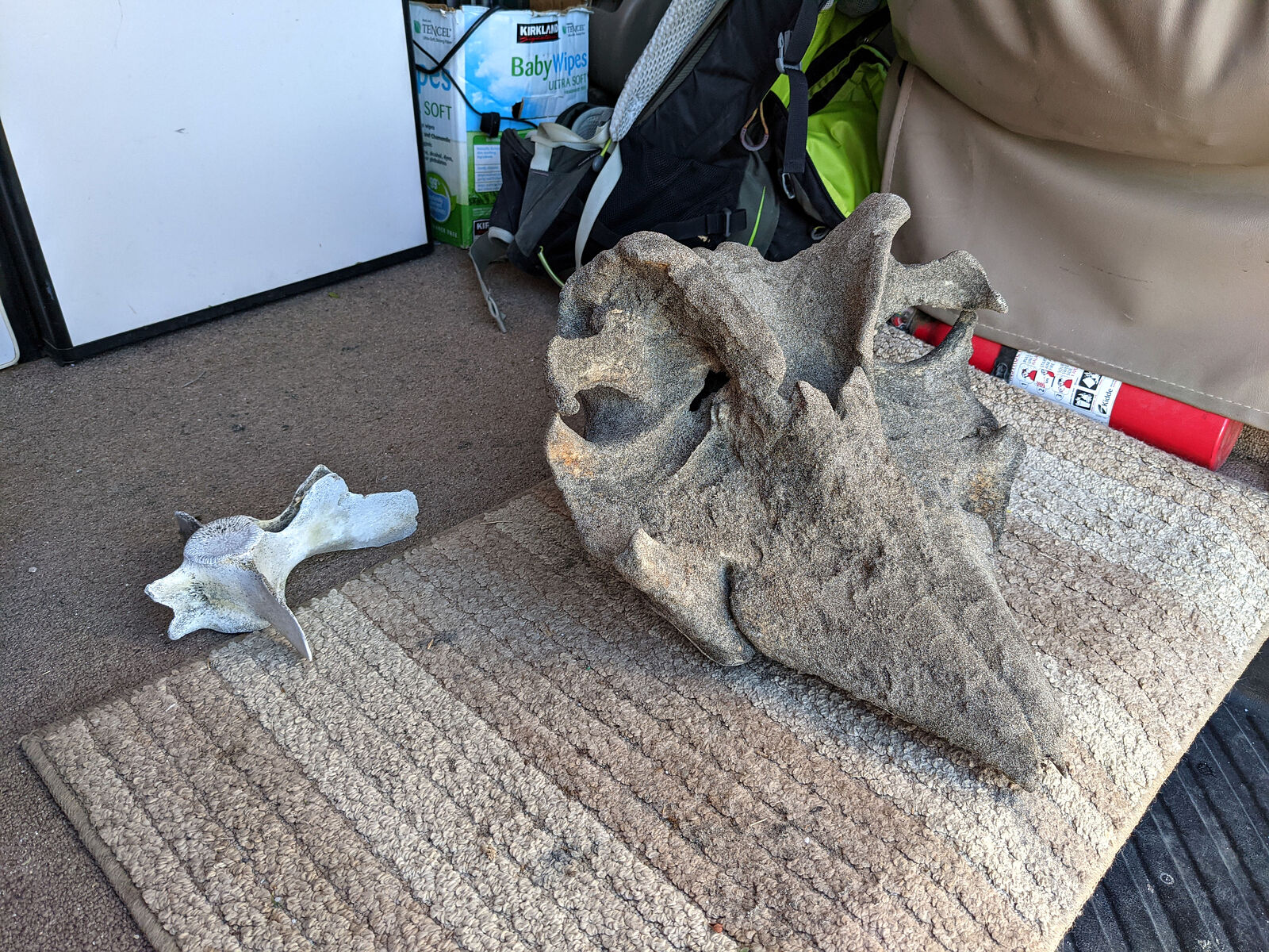
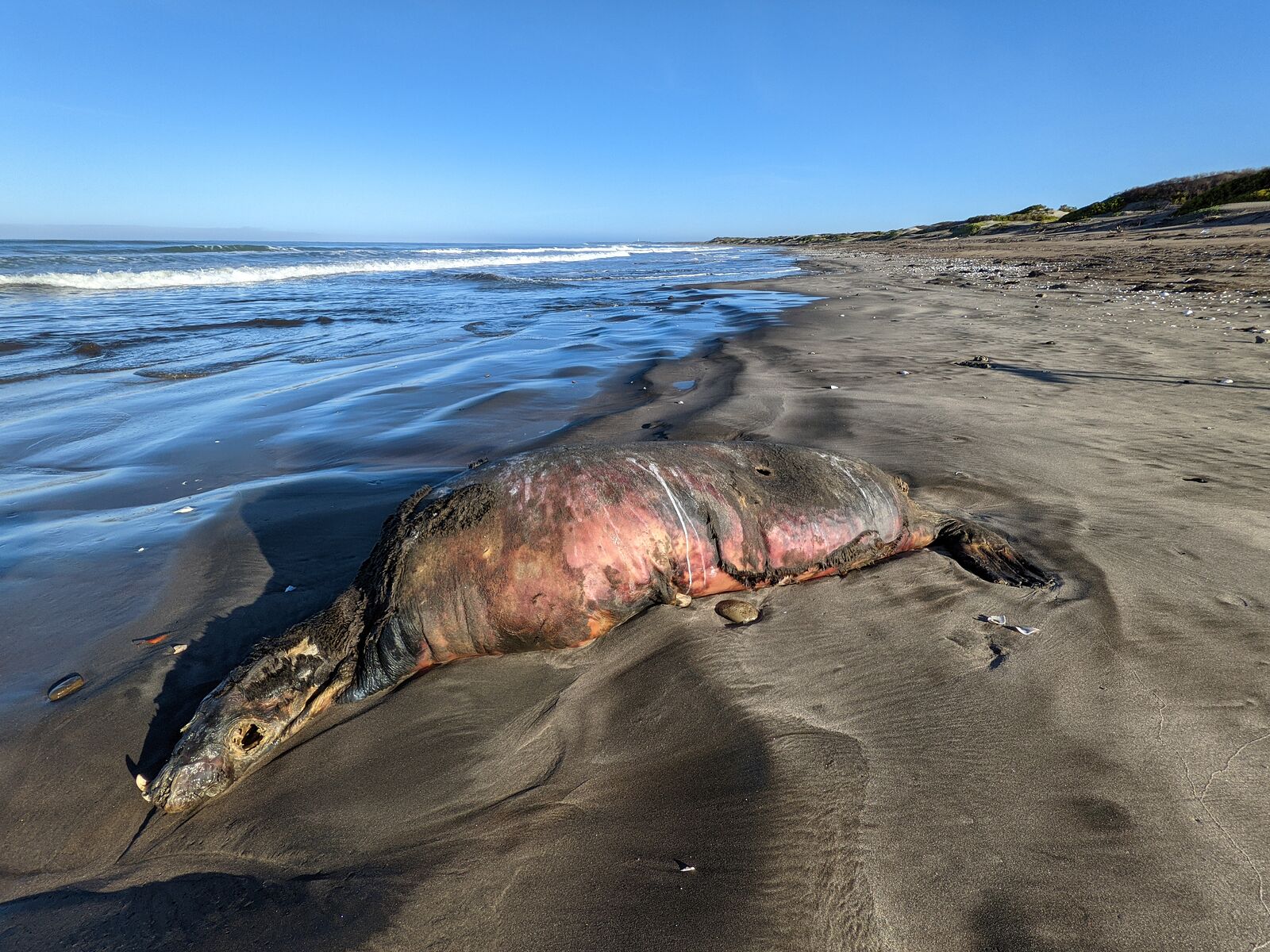
Beachcombing was fun! There were a lot of interesting bones -- including a large skull (whale?), some huge rib bones, plenty of dead sea turtles, and
an ex-sea lion.
|
|
|
geoffff
Senior Nomad
Posts: 710
Registered: 1-15-2009
Member Is Offline
|
|
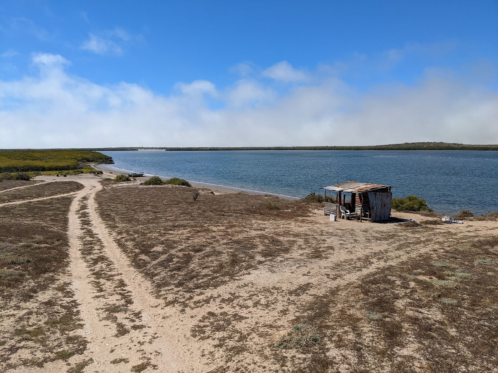
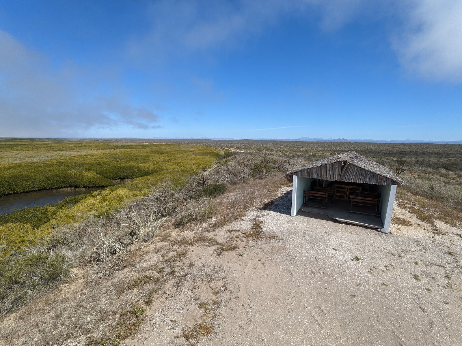
Estuaries of Bahia Santo Domingo
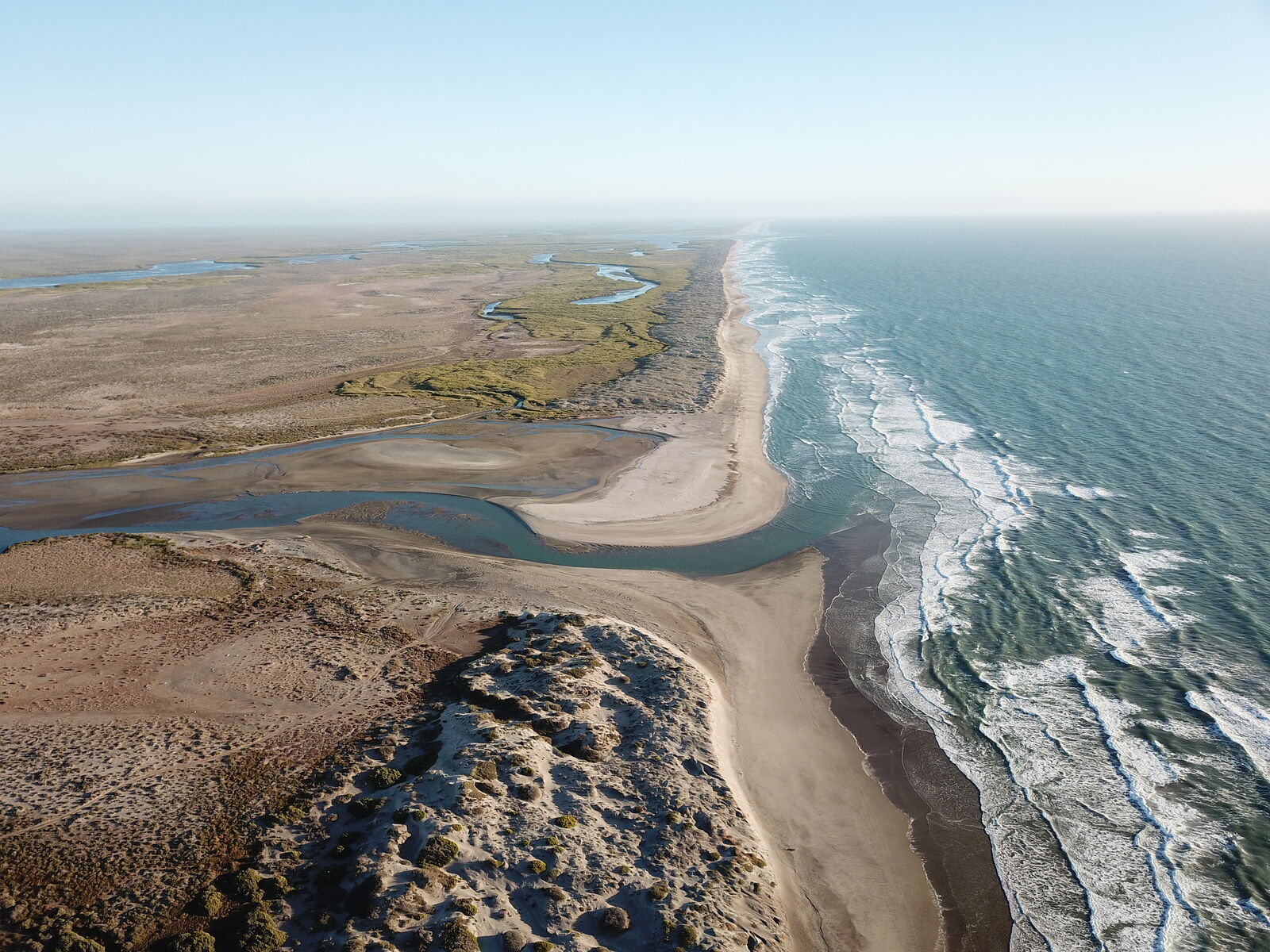
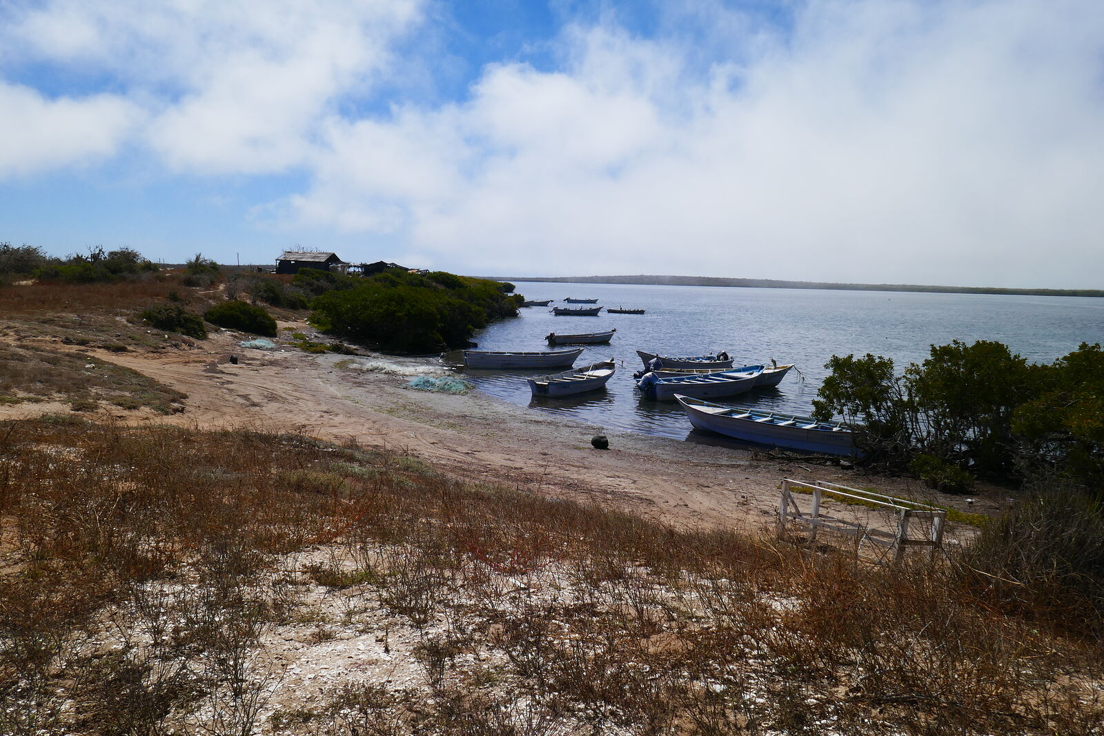
That morning I explored the nearby Estero San Jorge, one of the numerous estuaries of Bahia Santo Domingo.
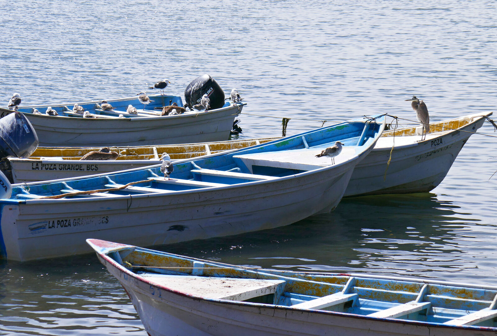
There were many little fishing camps. No people were around, but the boats themselves were crowded with birds of several types.
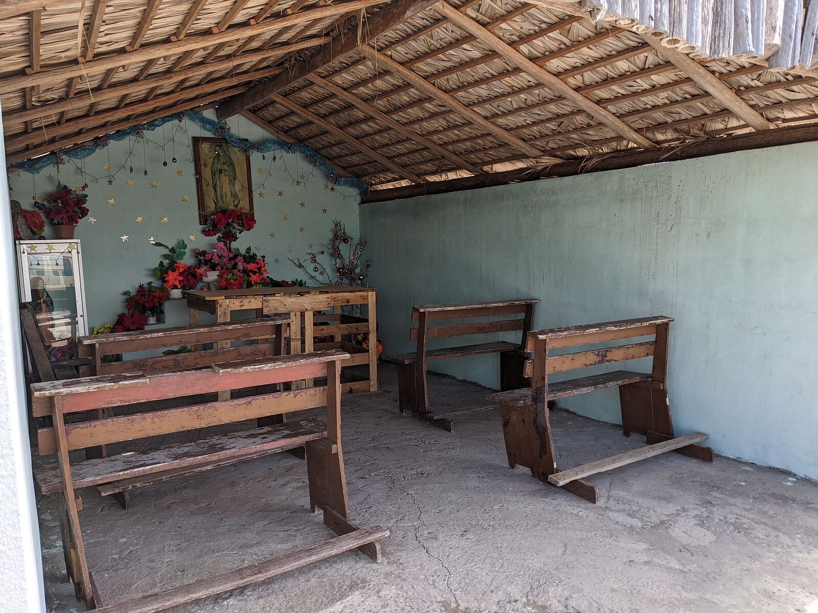
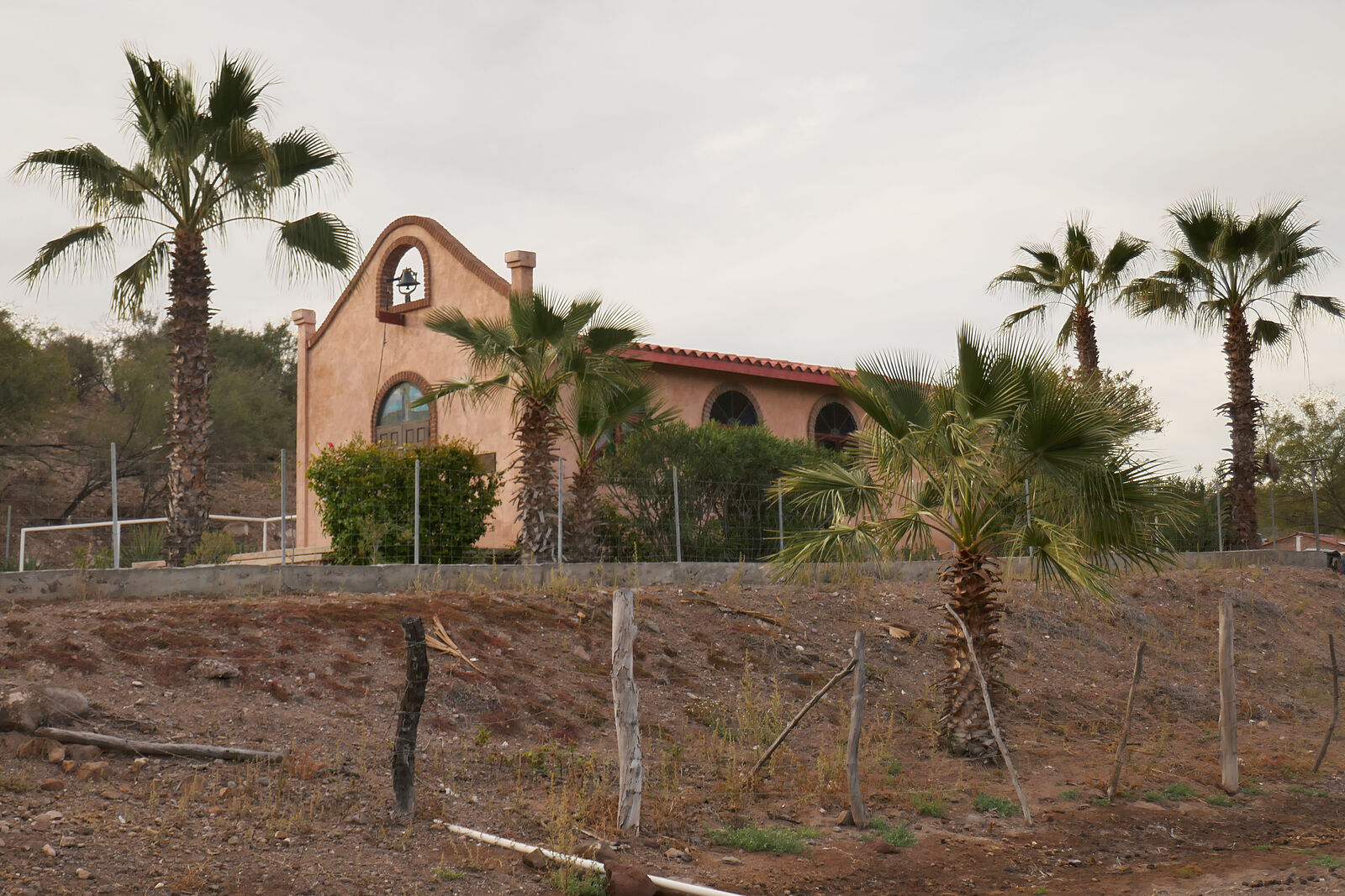
Santa Rosa had this elaborate hilltop chapel. (GPS:25.6993,-112.0743)
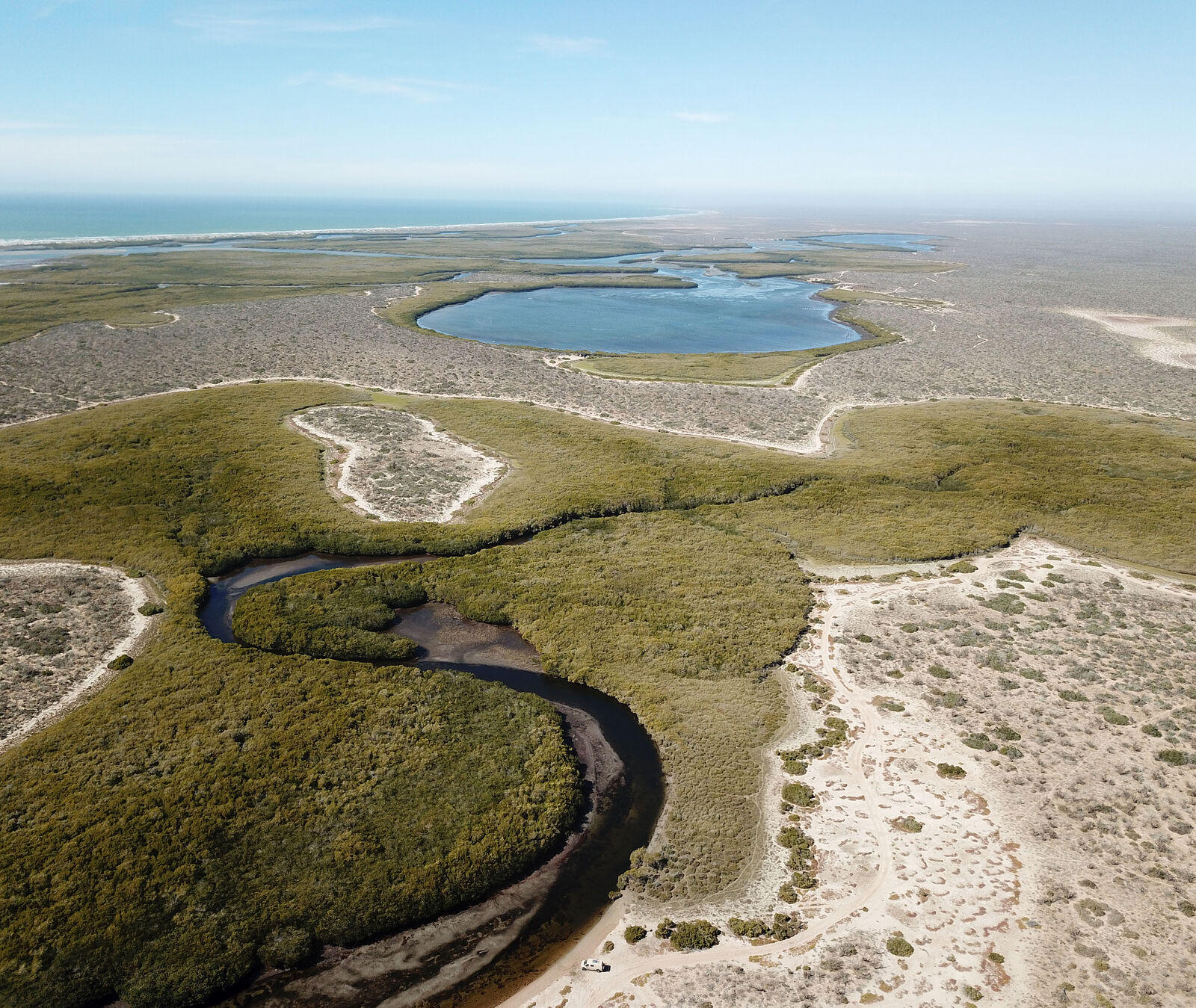
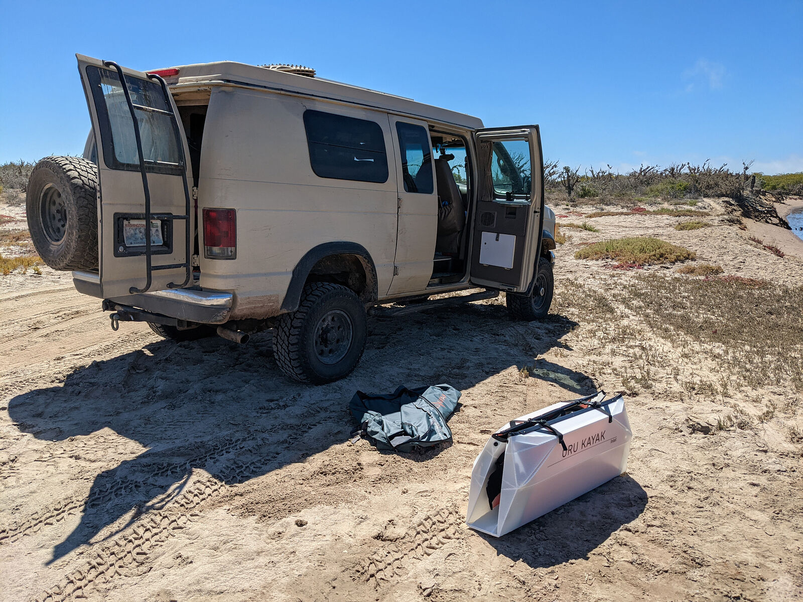
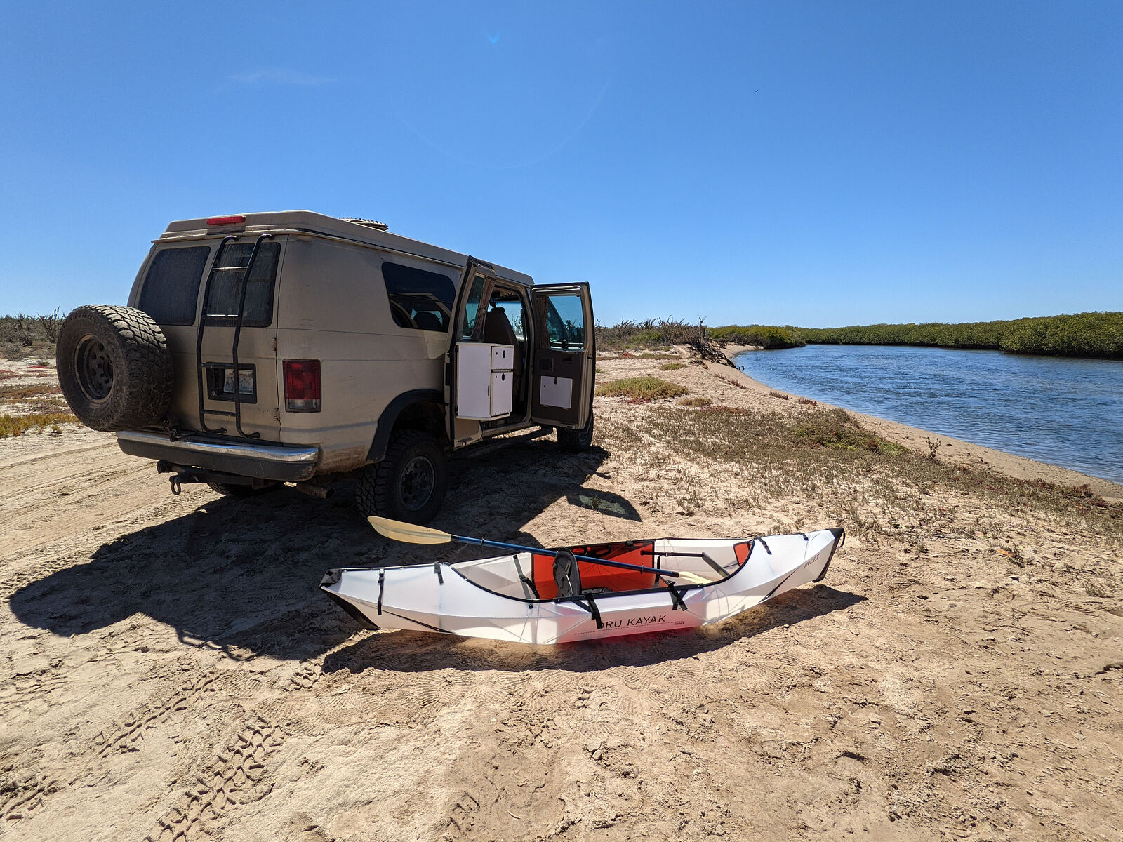
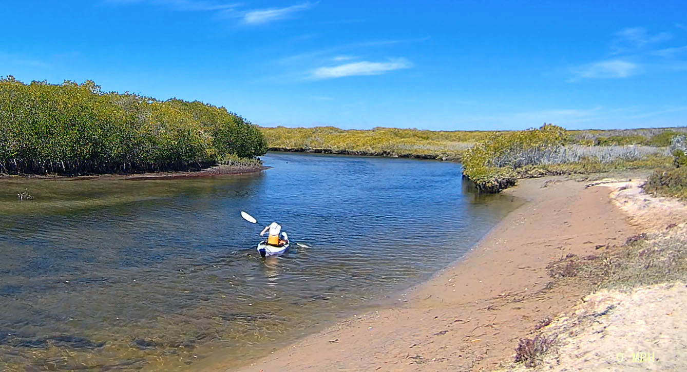
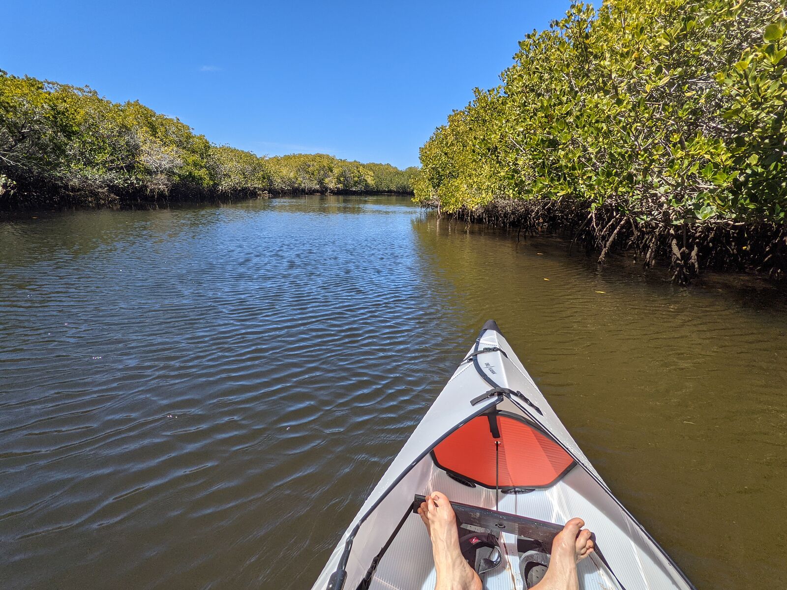
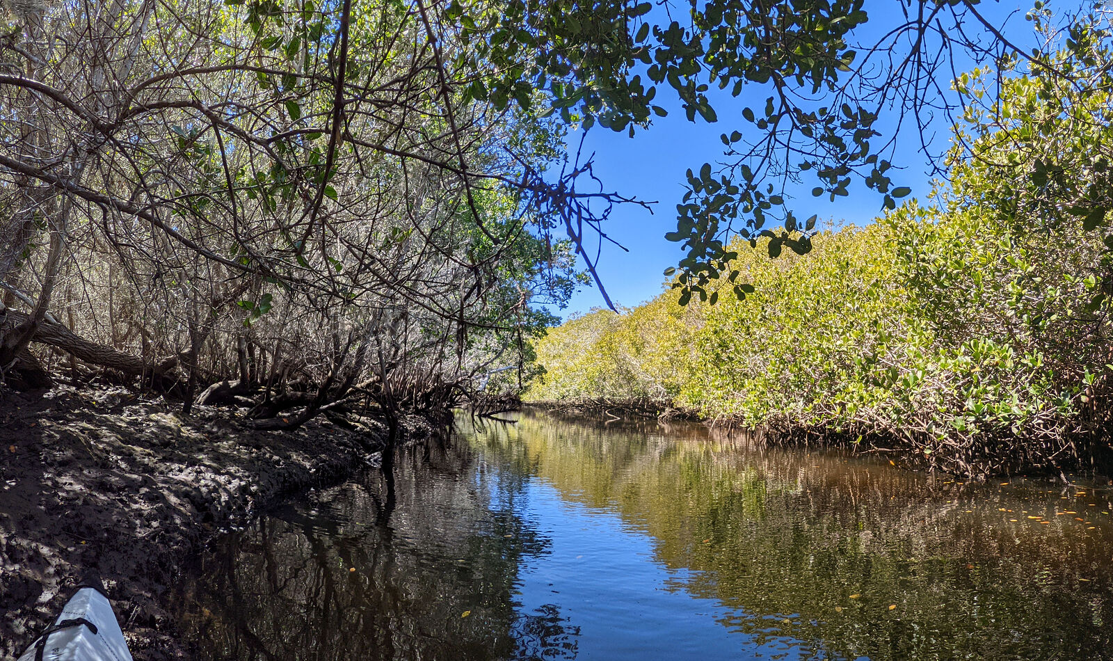
I chose a spot where satellite imagery showed the estuary narrowing to a winding tendril among the mangroves to try out my new folding Oru kayak! (GPS:25.6788,-112.0704)
[Edited on 4-12-2023 by geoffff]
|
|
|
geoffff
Senior Nomad
Posts: 710
Registered: 1-15-2009
Member Is Offline
|
|
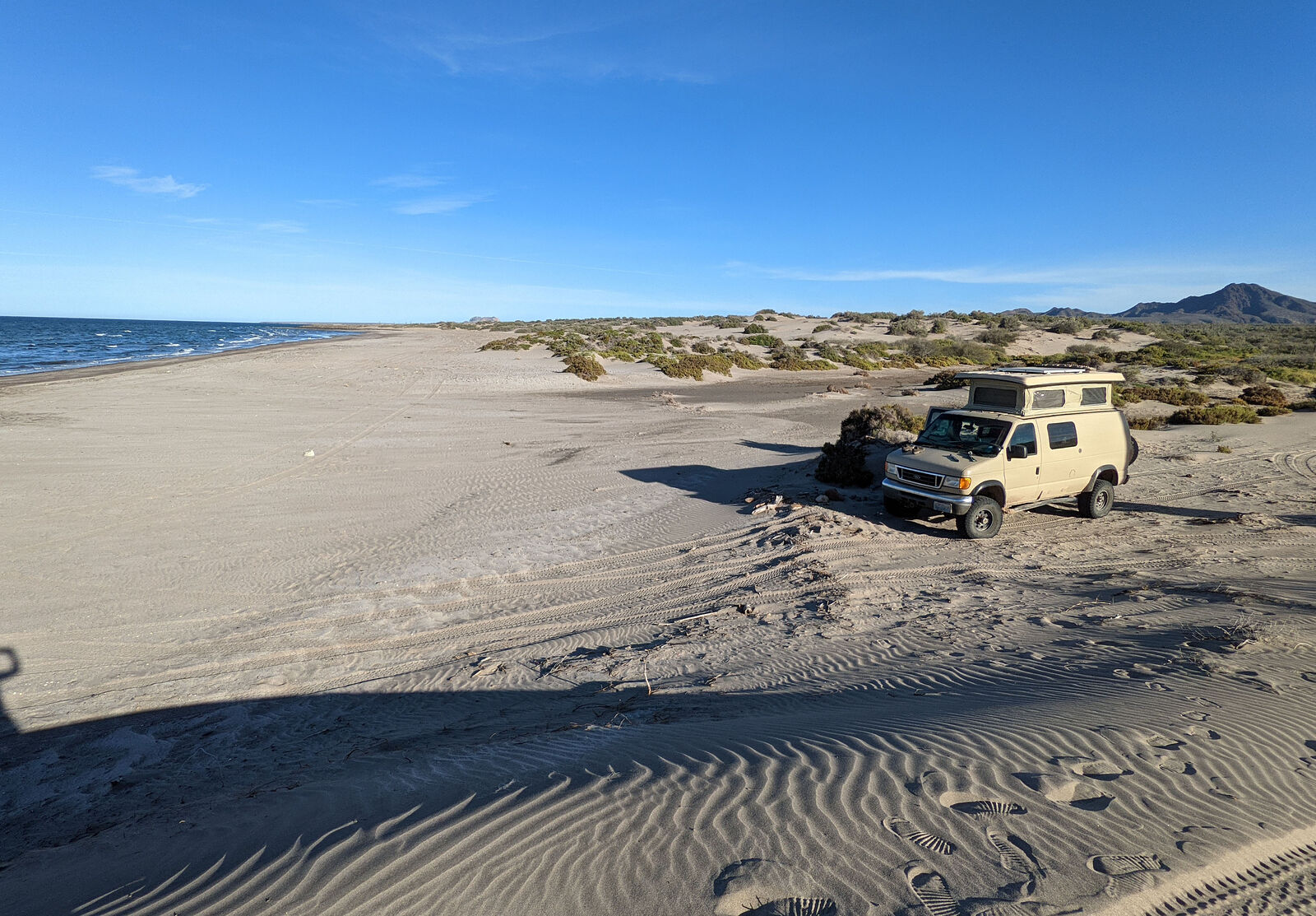
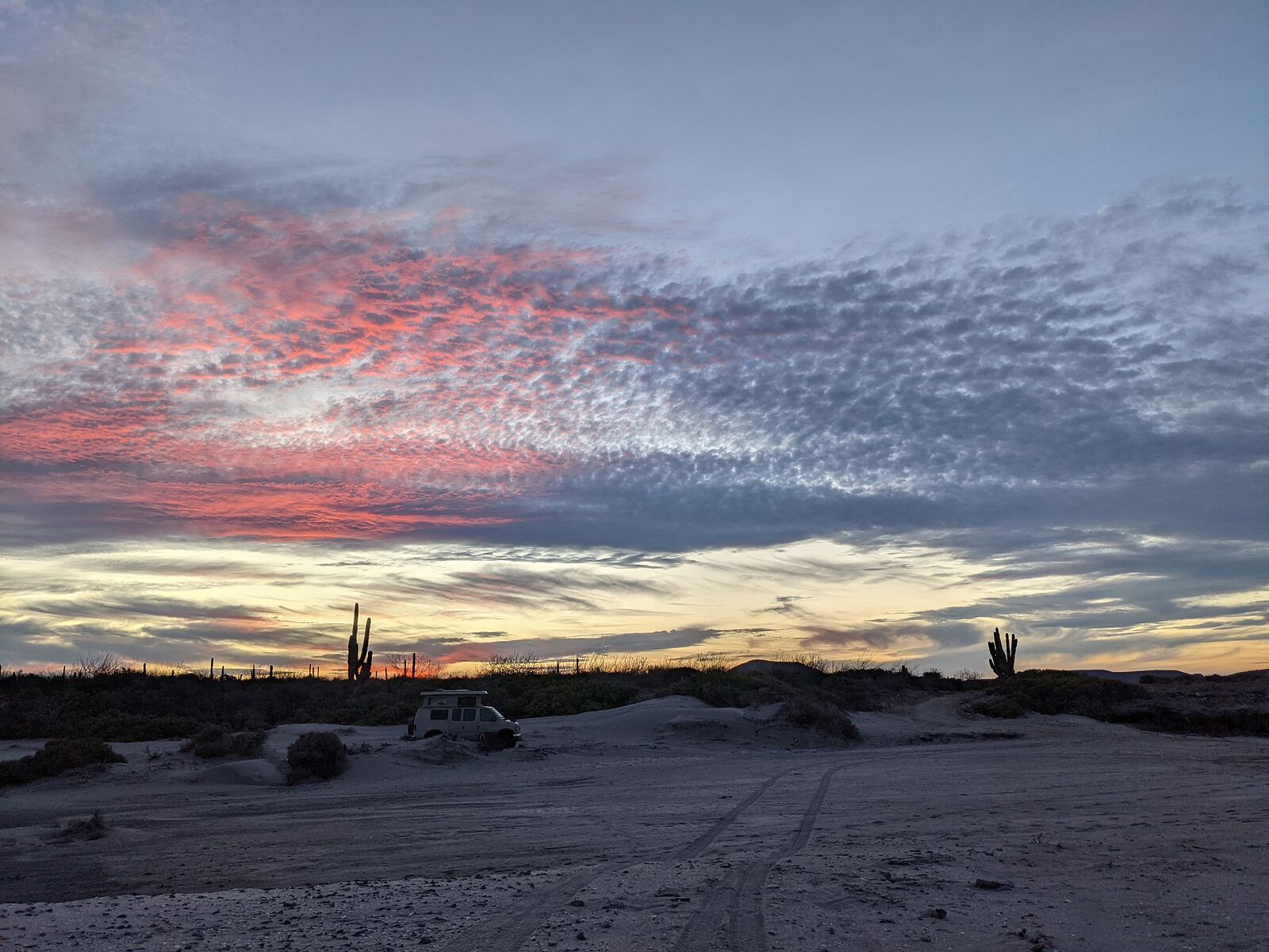
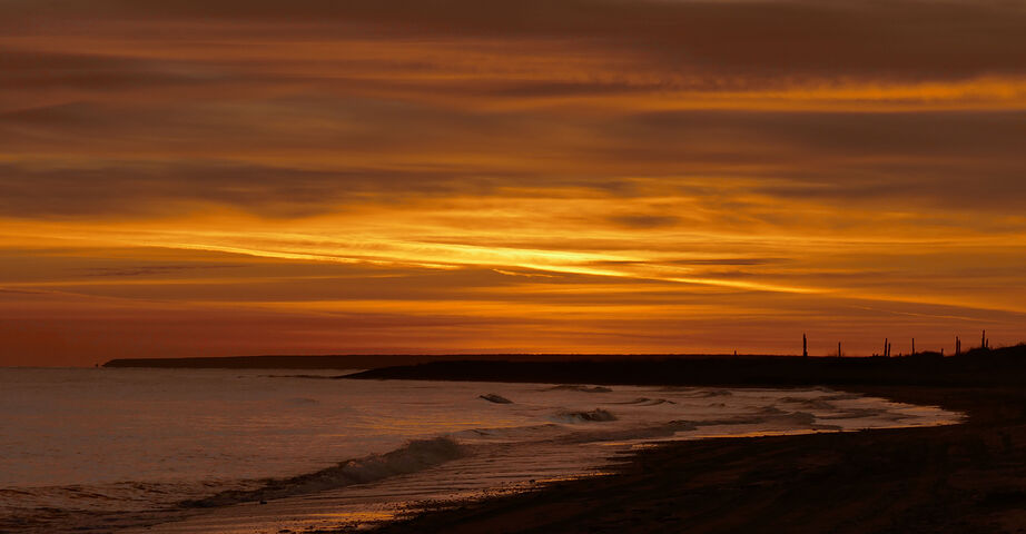
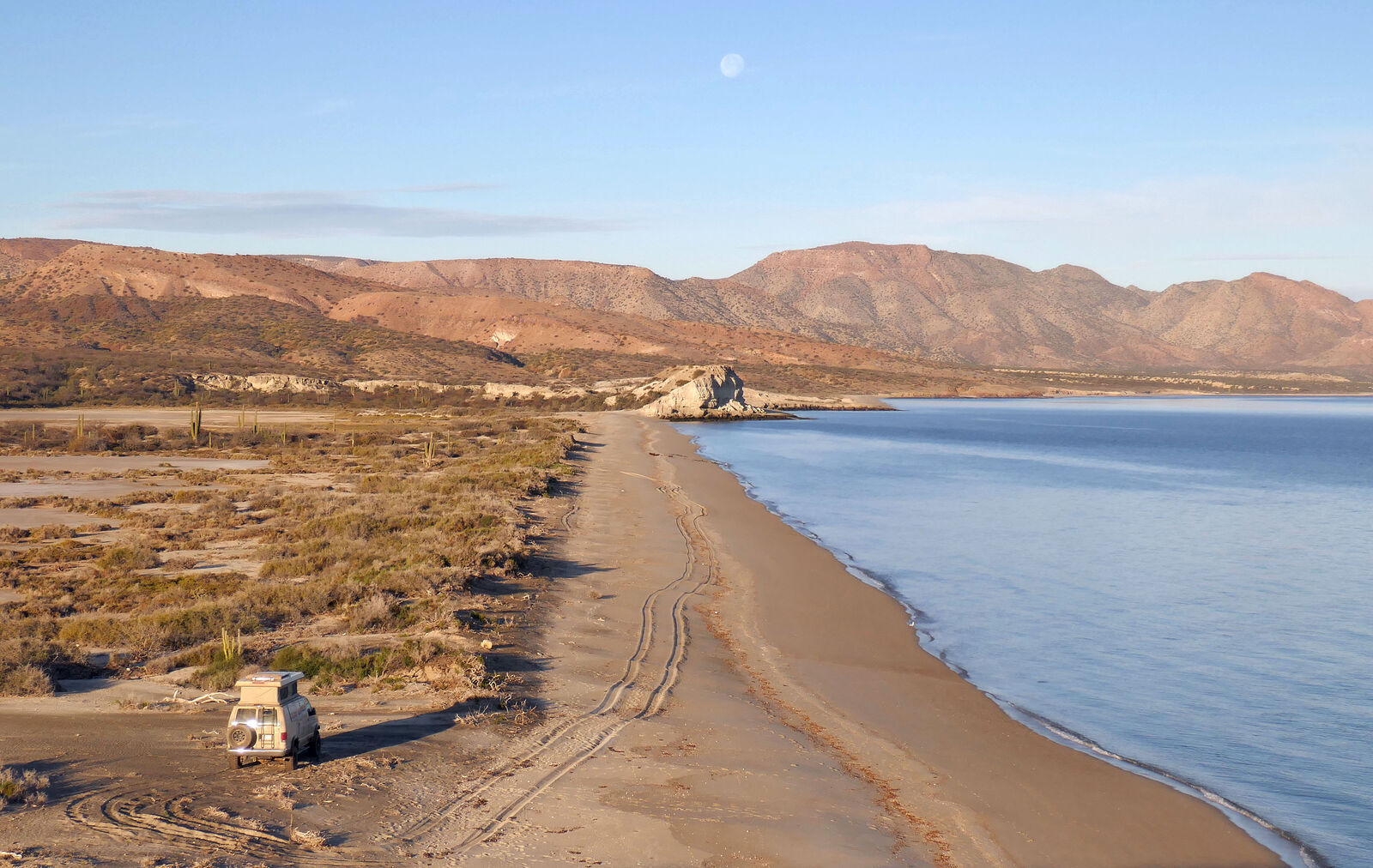
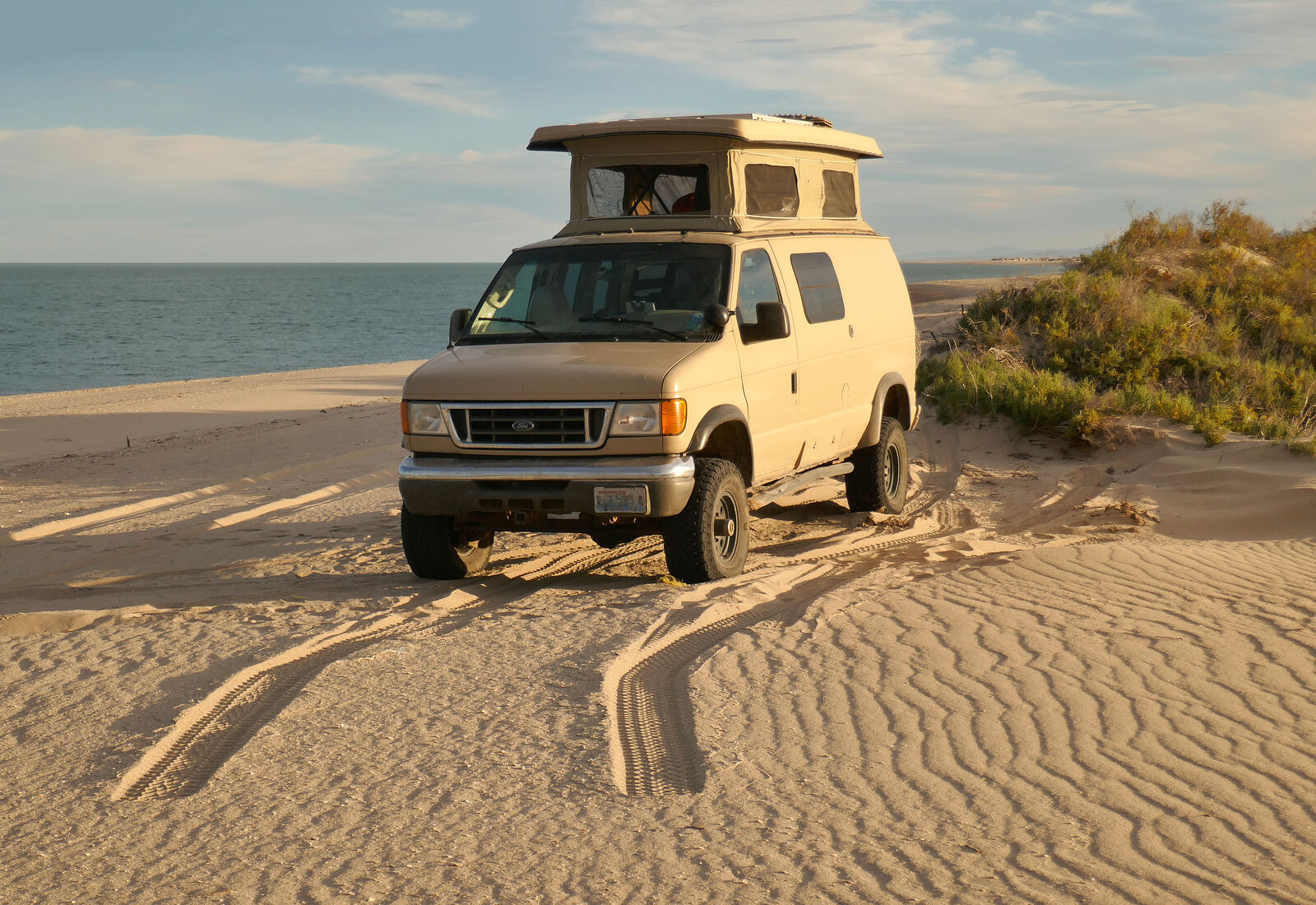
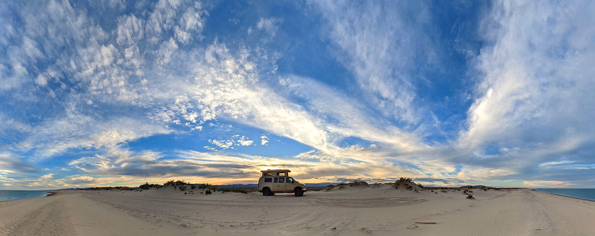
Playa Regalito Sur
That afternoon I decided to get some miles under my belt -- and make it over to the gulf side by sundown. After another quick tire repair, I zoomed
east. I camped at a beach I'd visited on previous trips, just north of Playa Luigi and the mega resort and new golf course of Ensenada Blanca.
(GPS:25.7517,-111.2799) iOverlander calls this beach "Playa Regalito Sur".
I had this little beach all to myself. Not the prettiest beach, but very convenient -- right off the highway. I could hear the occasional big rig
engine braking a half mile away.
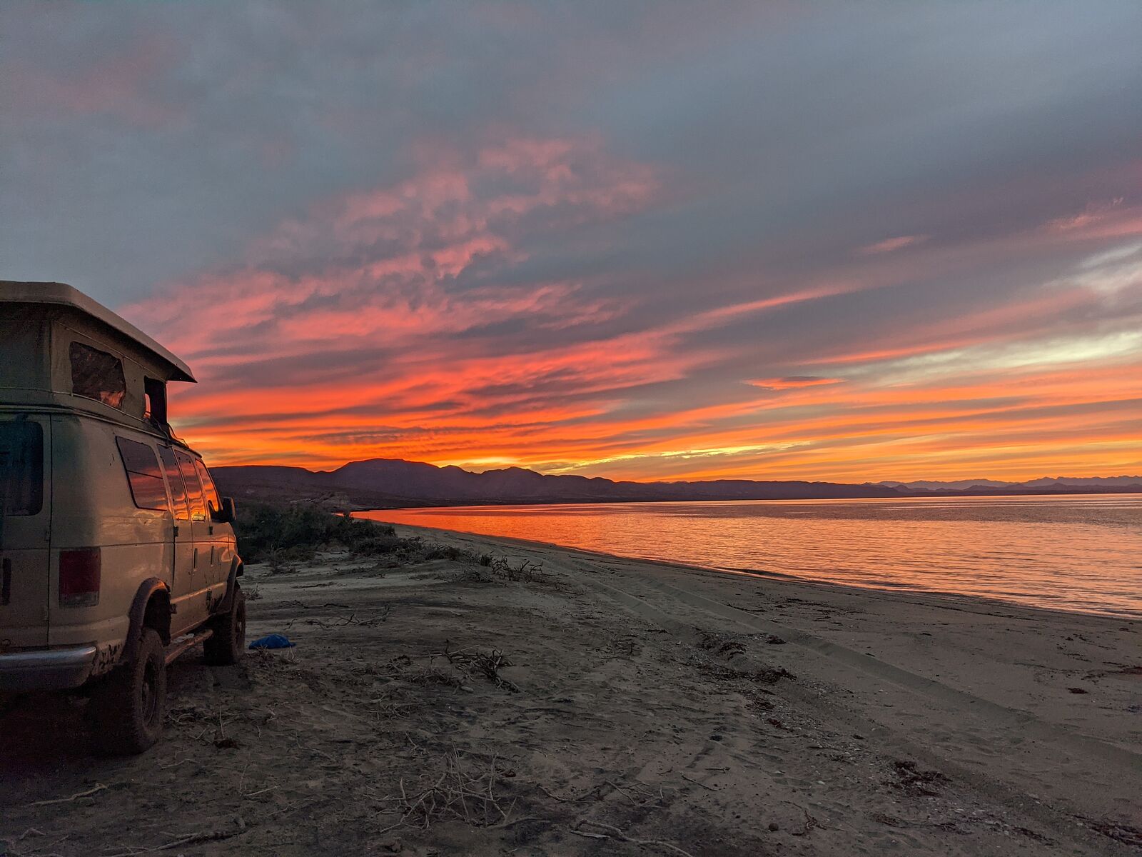
Then, as night settled in, the bass beats started. It was faint. Barely perceptible. Was it coming from the distant resort? No, I finally realized, it
was from the other direction. There was a hill just north of my campsite, separating my beach from the next one north of me, a bit closer to the
highway. I grabbed my flashlight, and hiked over the hill. Sure enough, 500 yards north of my camp, was a beach party, complete with DJ and thumping
speakers! I'm so glad I had driven the little bit of extra distance and camped where I did.
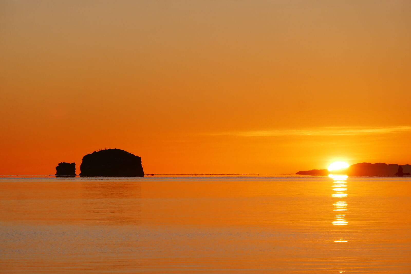
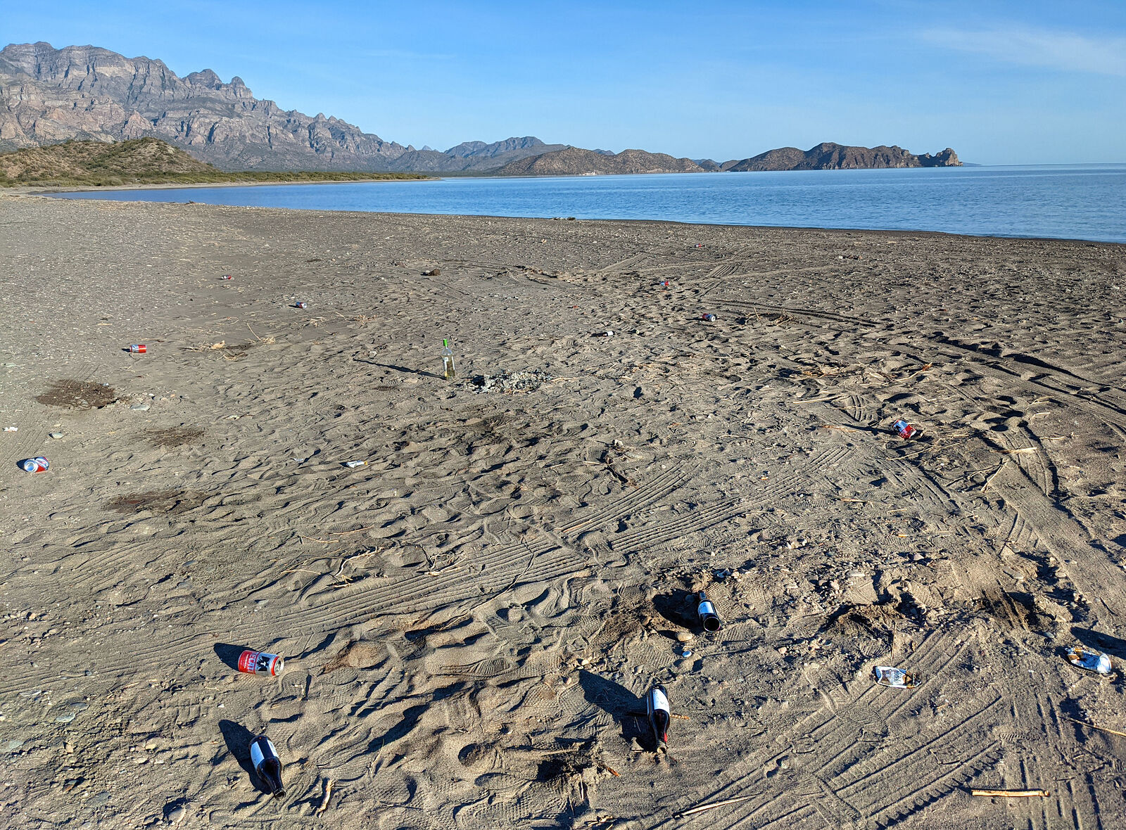
Sunrise was beautiful.
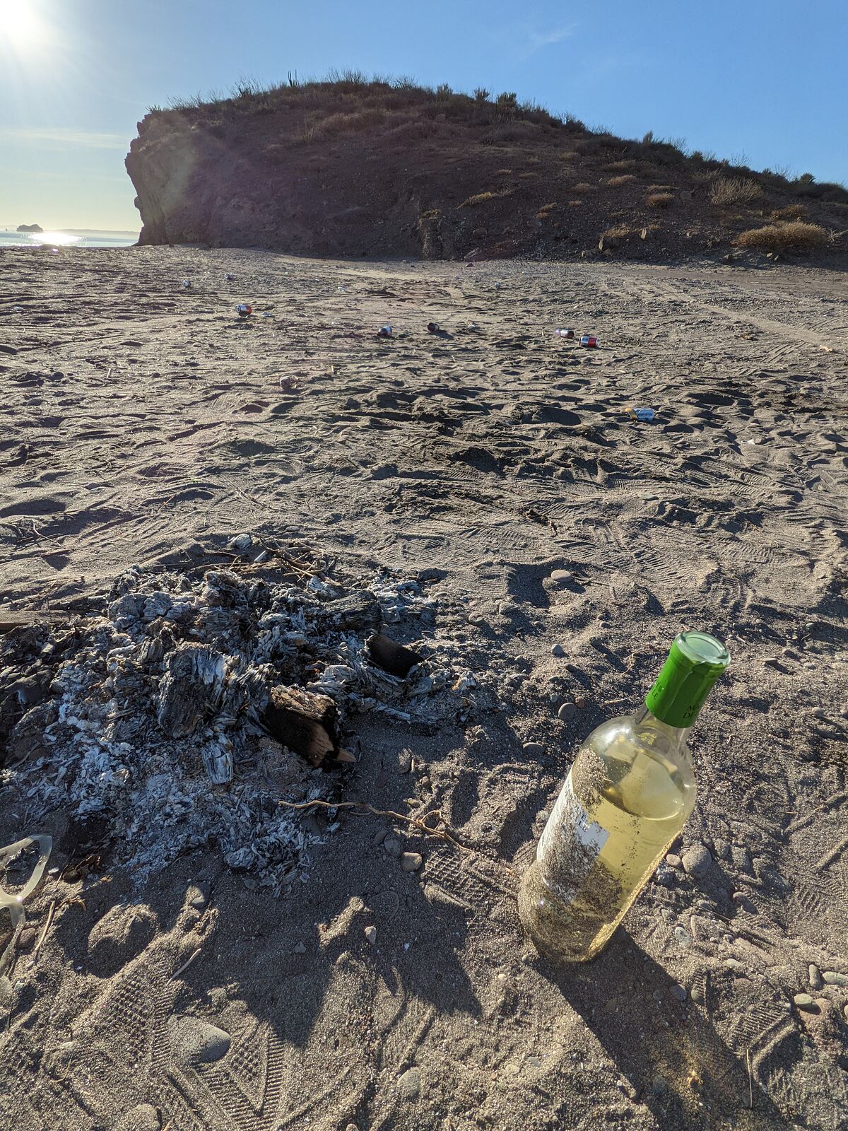
Driving out, I passed by the site of last night's beach party. It was very sad to see the beach newly littered with bottles and cans, including an
almost full bottle of wine.
|
|
|
geoffff
Senior Nomad
Posts: 710
Registered: 1-15-2009
Member Is Offline
|
|
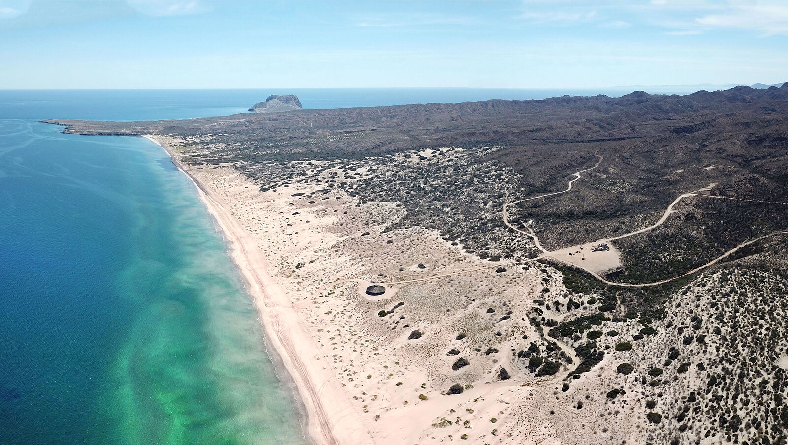
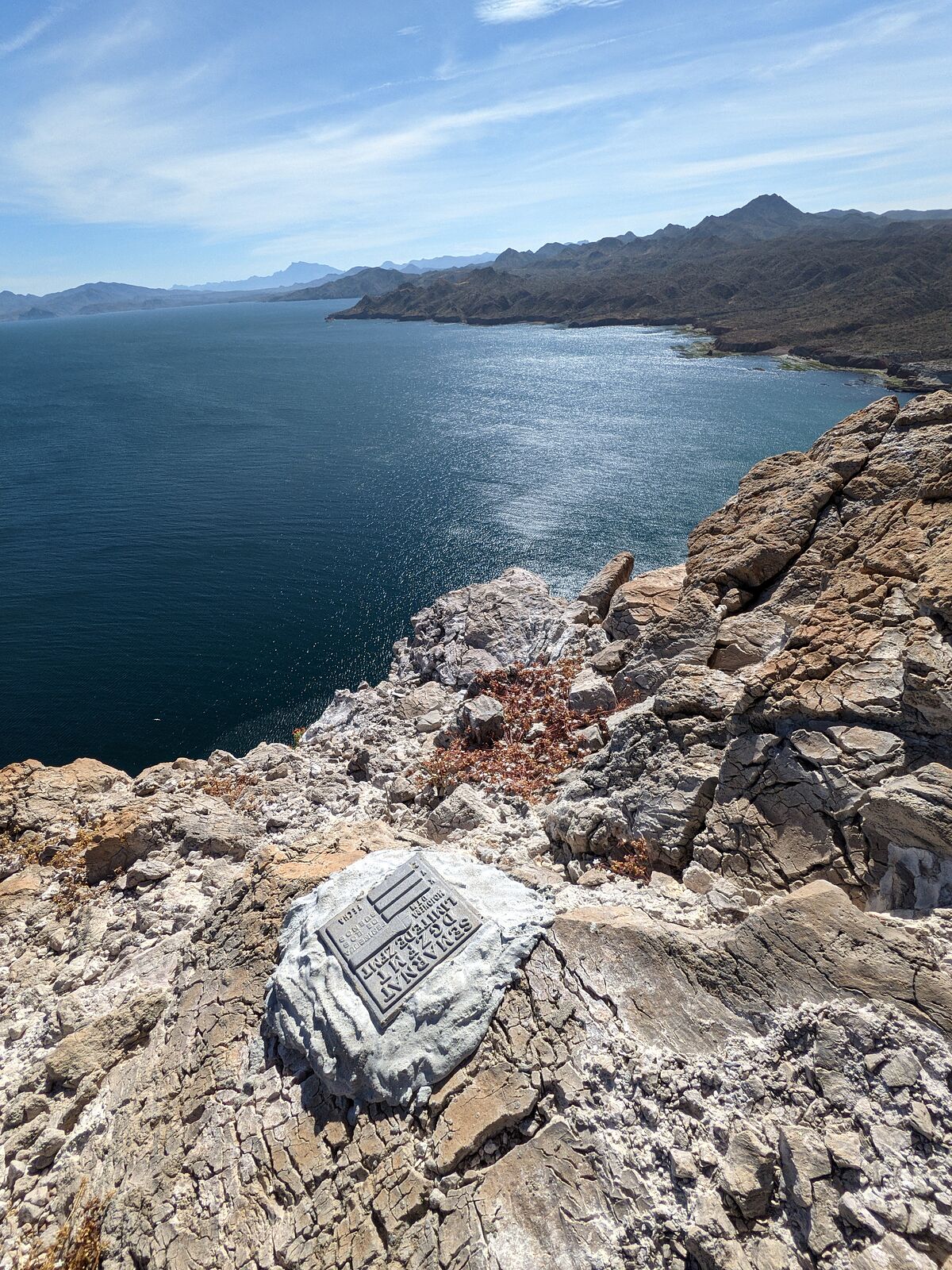
Bahia San Nicolas
This day I decided to try exploring the beaches of Bahia San Nicolas and get out to Punta el Pulpito. I headed northeast on the access road from El
Rosarito.
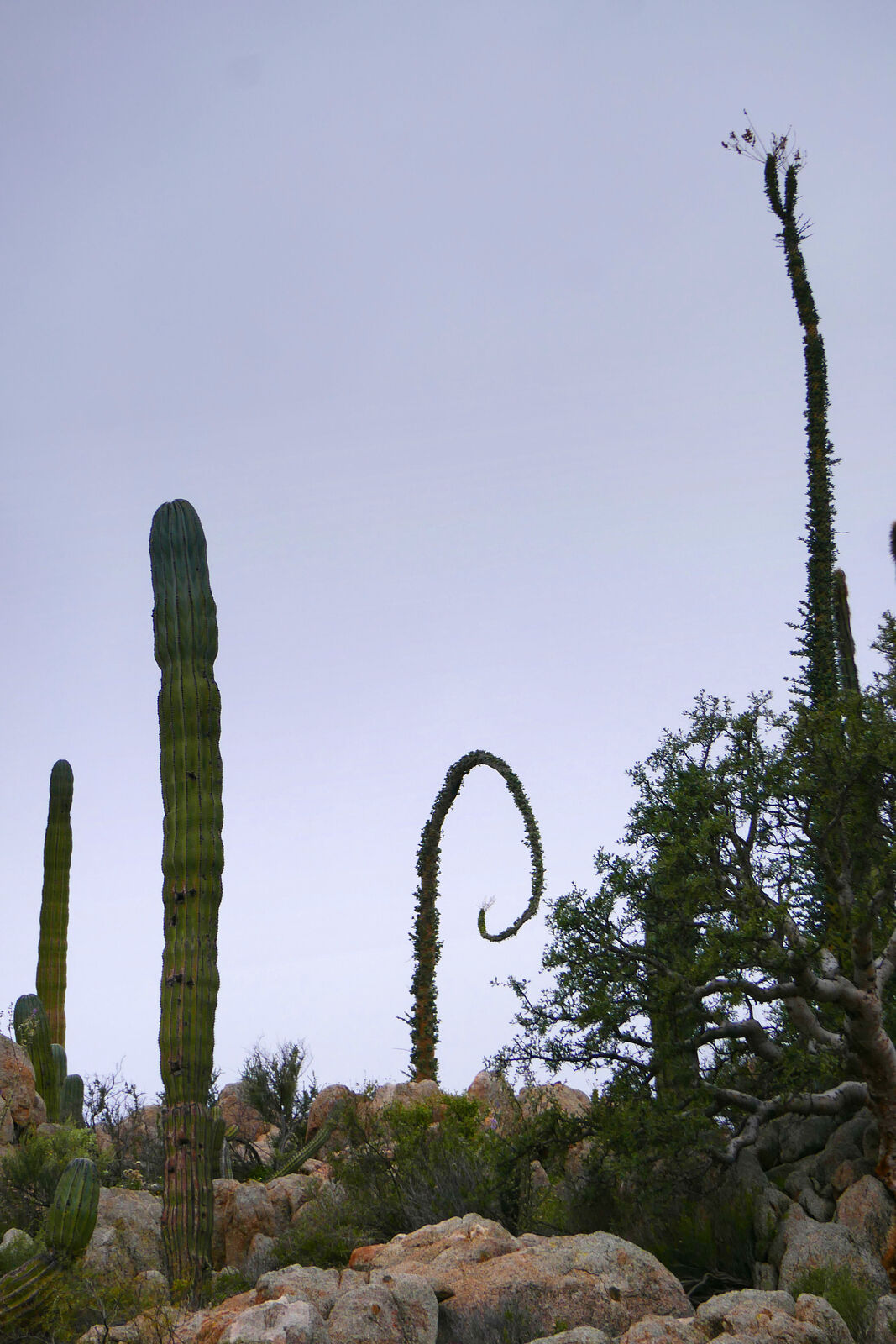
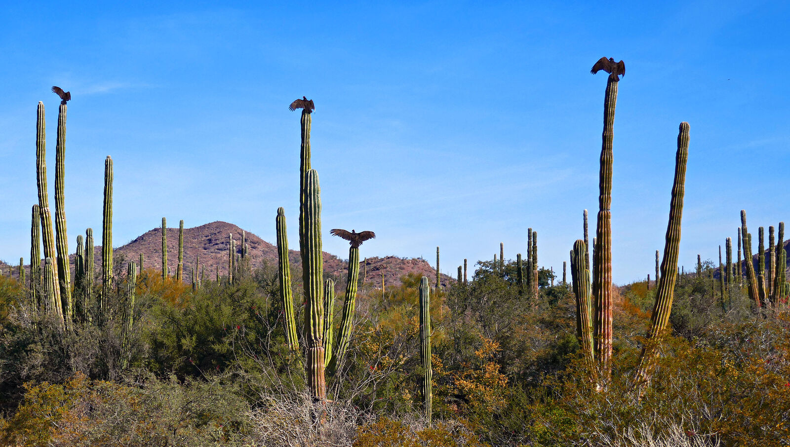
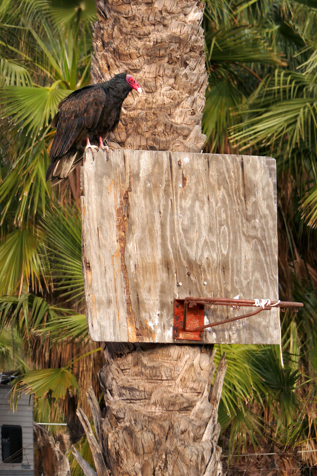
No Baja trip is complete without a photo of cactus-top vultures warming themselves in the morning sun!
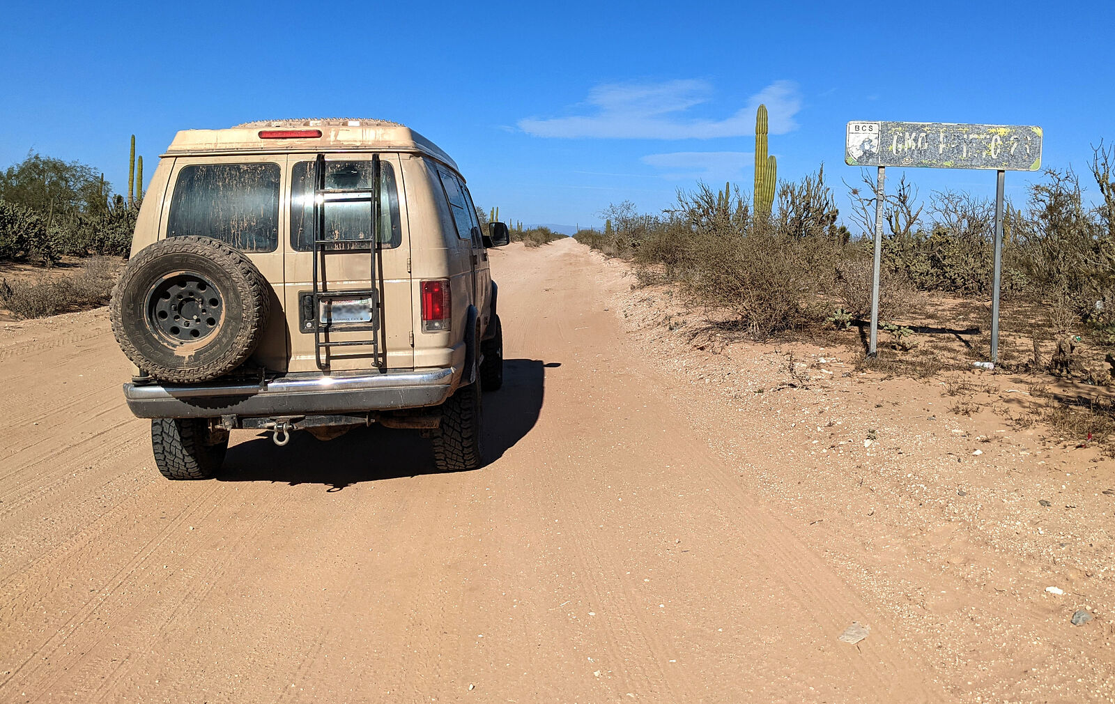
In case there was any doubt, this stretch of dirt track was designated a "no-passing" zone, with a shiny metal sign. (GPS:26.5167,-111.5987)
San Nicolas is a maze of dirt tracks twisting and weaving among the palm trees. My offline satellite maps and GPS were helpful in navigating through
town without ending up in someone's driveway.
Speaking of satellite imagery, I noticed that there was a new road heading east from San Nicolas to the beaches and Punta el Pulpito. Only the very
newest satellite images showed this road. I decided to give it a try!
The new road switchbacked up and down at every arroyo it crossed, but basically paralleled the beach, only one kilometer inland. The dirt surface was
new -- freshly graded, and marked by only a few tire tracks. They had obviously put a lot of work into building this road!
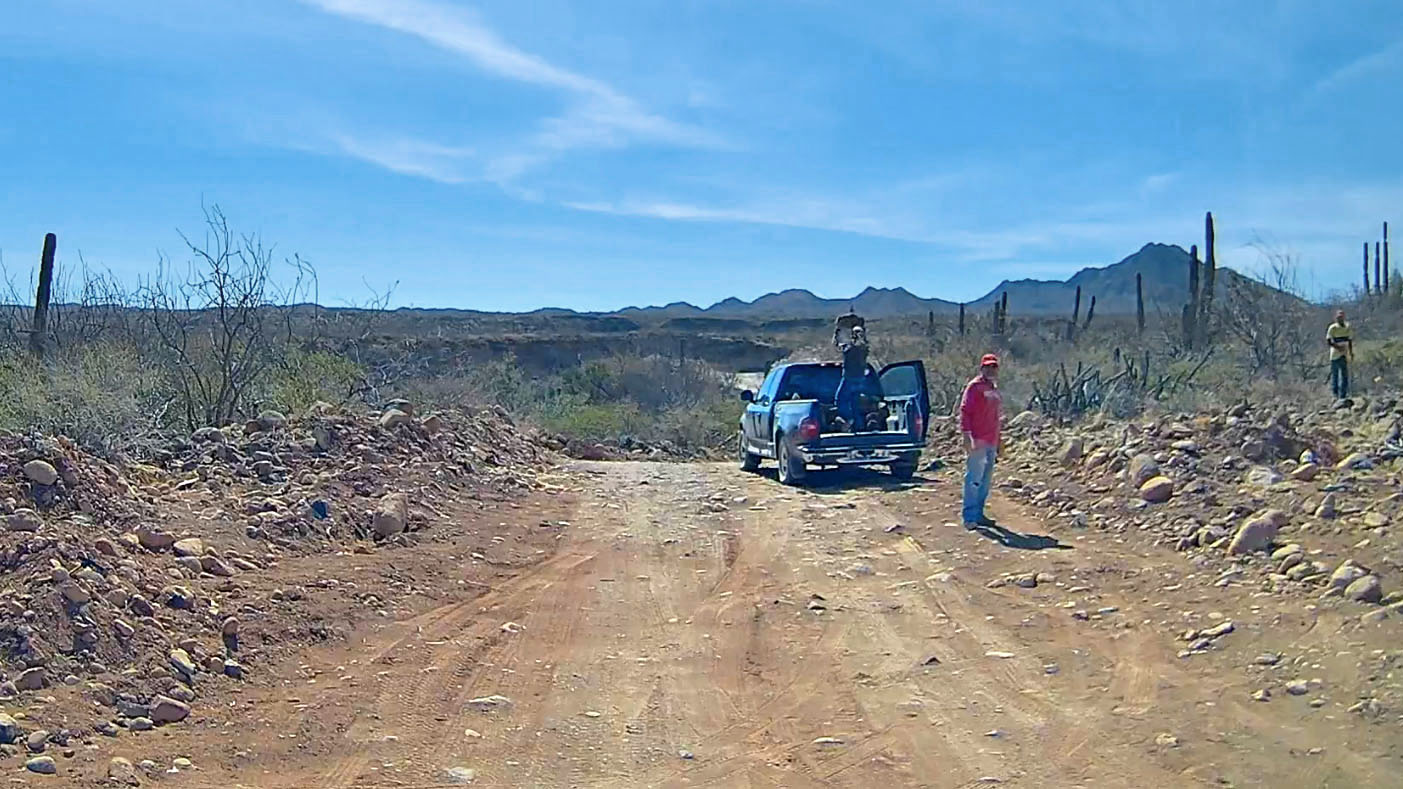
After driving about 20 minutes, I came across some guys loading big rocks into a pickup truck by hand. They stopped and stared at me. My "Hola! Buenos
Dias!" only got a little wave and some blank stares back. Strange...
Finally the road turned and headed towards the shore and I came to a place my map names "El Carricito", where there were some new buildings under
construction. I smiled and waved at four guys working as I passed. One guy (the boss?) seemed, by his body language, to be giving me a WTF?! look in
return. You know, very much like the "whatever" emoji ¯\_(ツ)_/¯. But without that smile.
Hmmm.
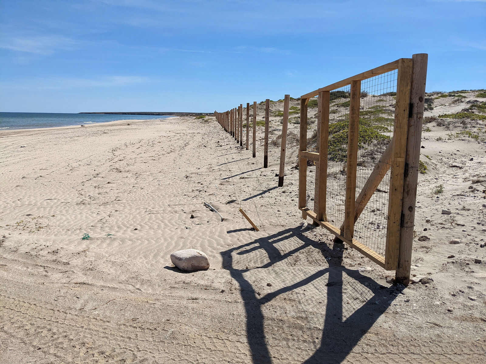
In any case I drove the last little bit of road, passed an enormous palapa (wedding tent size), and arrived on the beach via an open gate in a long
fence along the beach. This fence was new (brown wood and wire mesh) and went on for miles, as far as I could see in both directions, separating beach
from inland.
I stopped, got out, and start taking photos of the beach. Meanwhile, the WTF guy pulls up in a UTV and silently closes the gate behind me.
I go to him and ask conversationally if there is another road back to town. He says simply (in English) "The Beach Road, yes."
Oops. I guess I totally trespassed through someone's property!!! 
When this happens to me in the US, there is usually a lot more shouting involved. And hopefully no guns. But at least there are usually "no
trespassing" signs to help avoid this kind of misunderstanding! I saw no such signs here. I even went back and checked my dashcam footage later to be
sure I hadn't missed anything.
Don't make my mistake by taking the "inland road" east from San Nicholas!
In any case, it turned out that the old Beach Road was actually much more direct and pleasant to drive than this new private inland road.
=====================================================
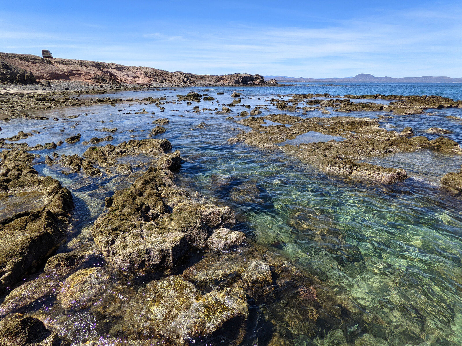
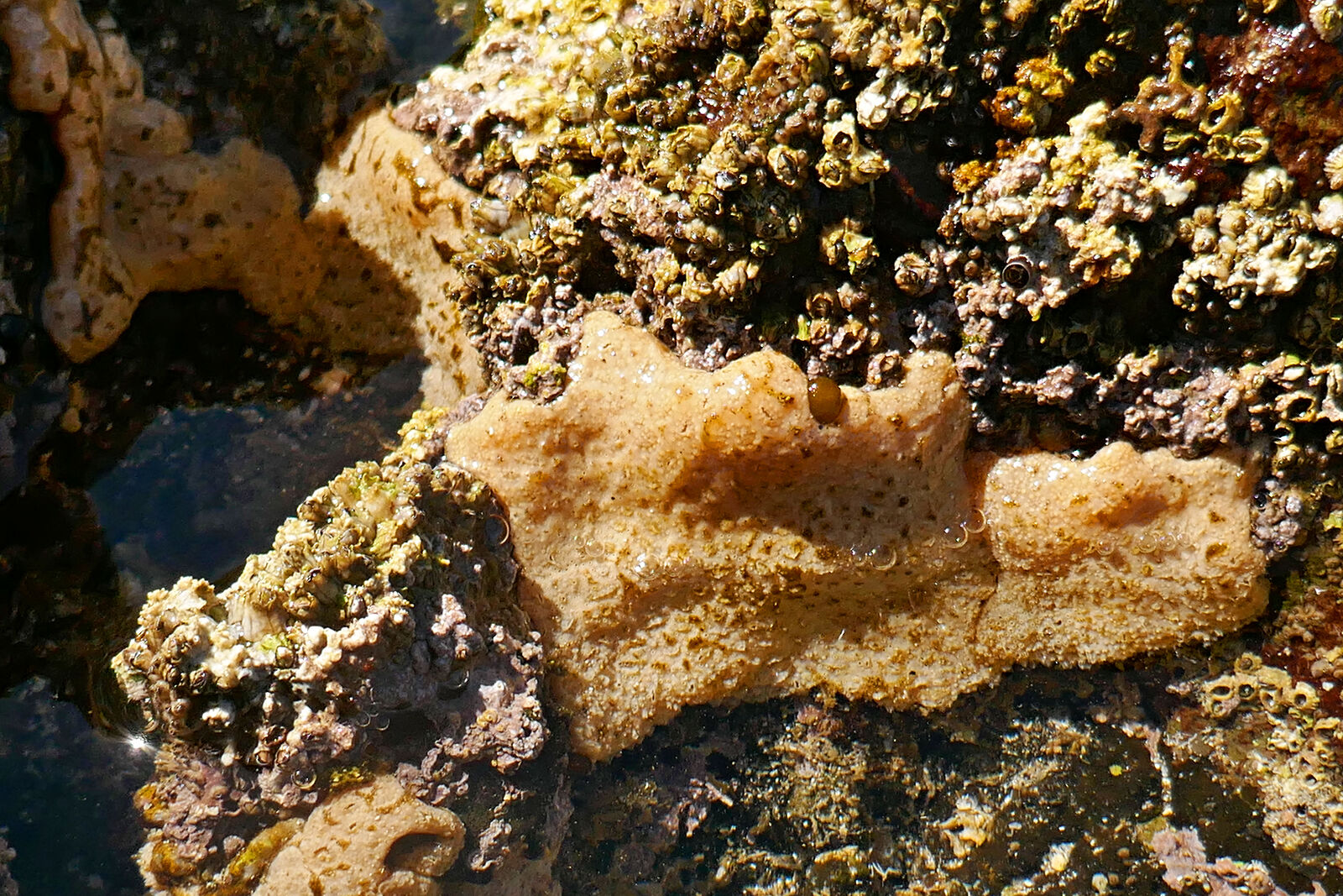
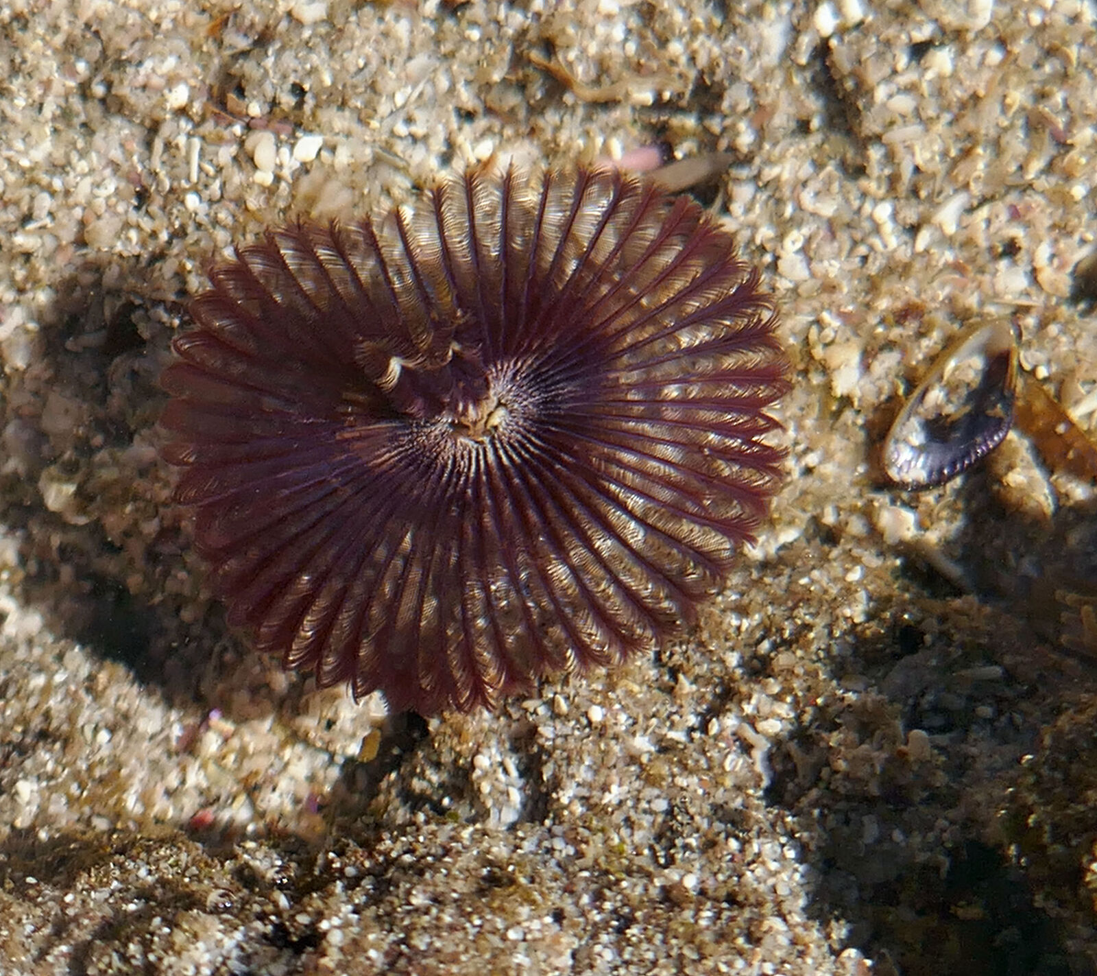
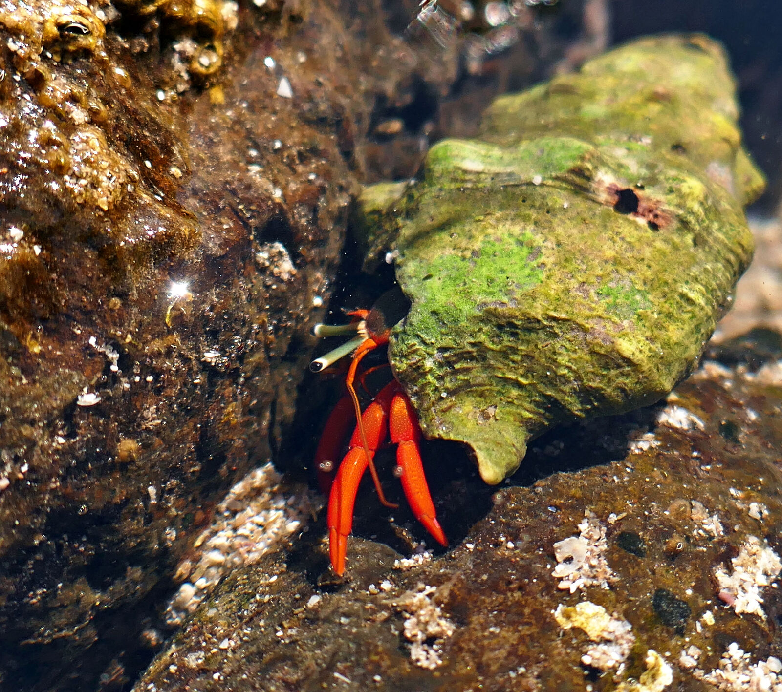
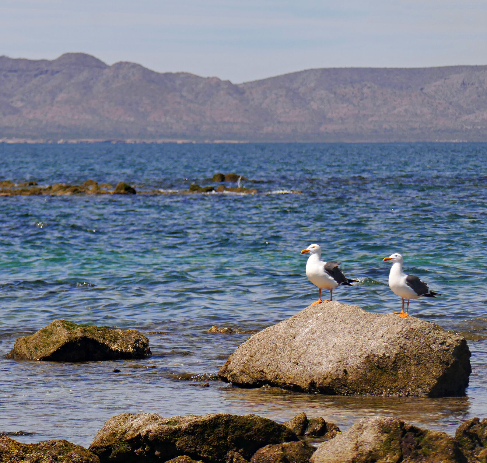
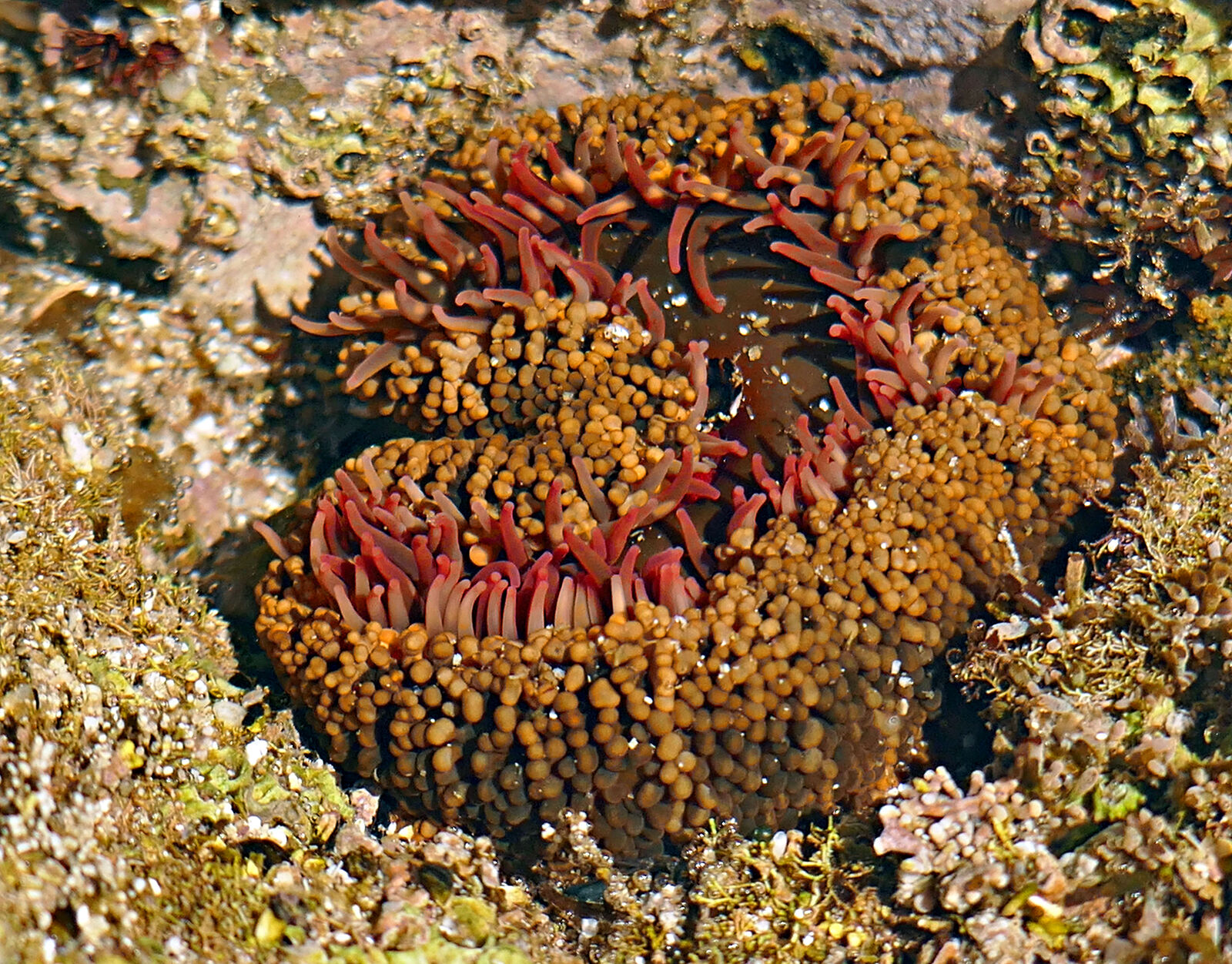
I continued driving east on the Beach Road to Punta San Antonio, where I found a good spot for some tidepool exploring...
...and drone flying.
Next, I passed what is marked as "Private Airstrip" on the Benchmark map. (GPS:26.5254,-111.4676) As usual, I stopped to take photos. Or started to. I
was standing there, up on the roof of my van, just about to take my photo of this airstrip, and up rolls the UTV guy again. "The areas behind the
fences are private property," he says.
I reply, "I thought I could drive the road out to the point...(?)"
He pauses, smirks a bit sheepishly, and finally says: "I just don't like people taking photos of my property."
Hey, I get it! I told him I wouldn't take photos.
(So, as you can see I have left out most photos for this part of my story.)
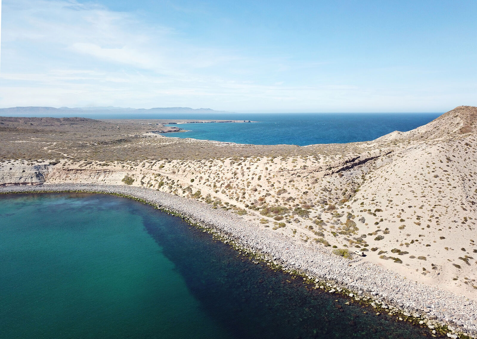
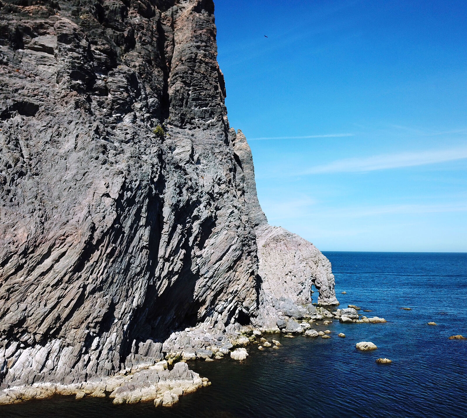
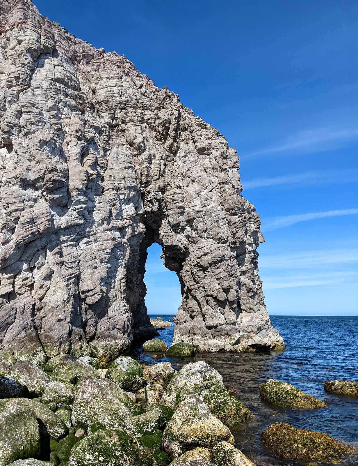
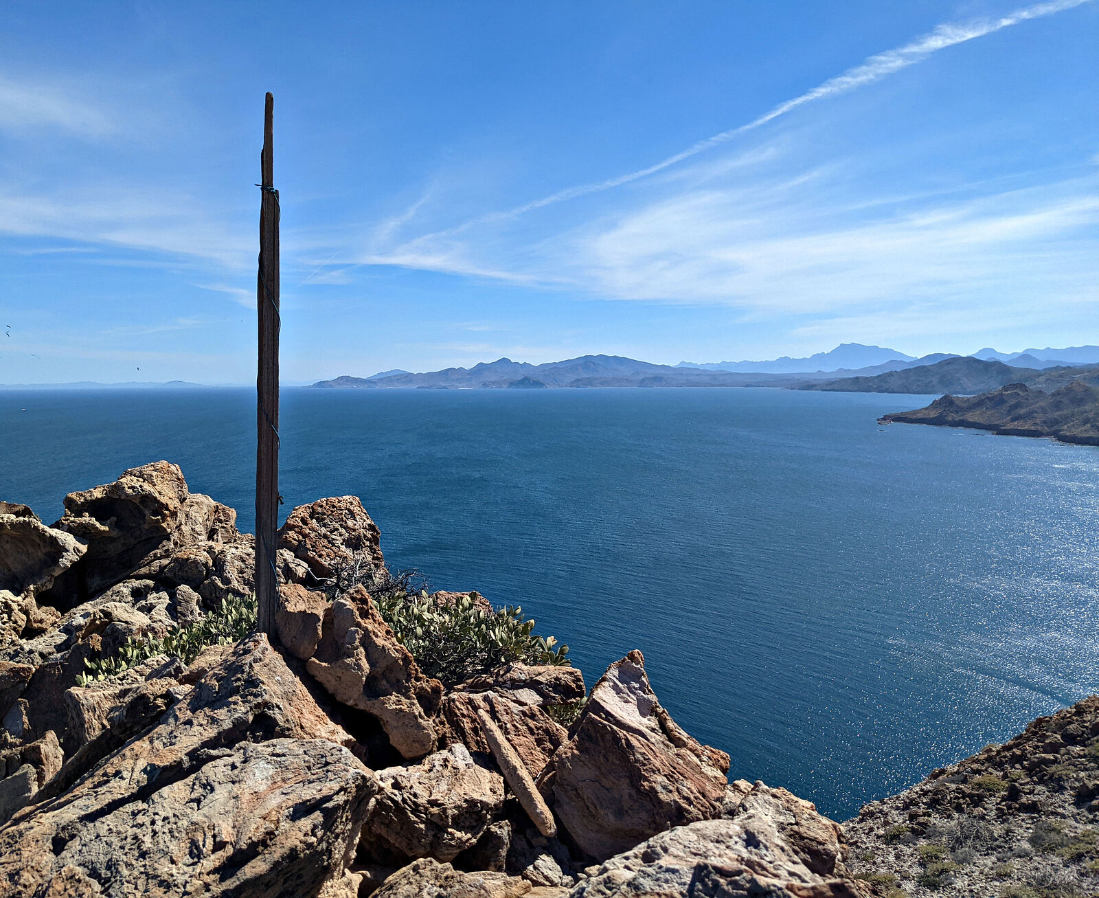
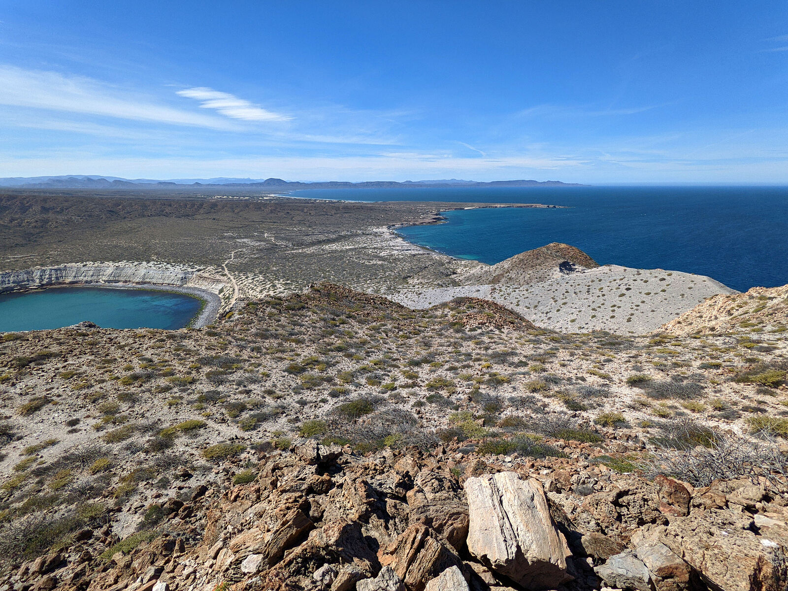
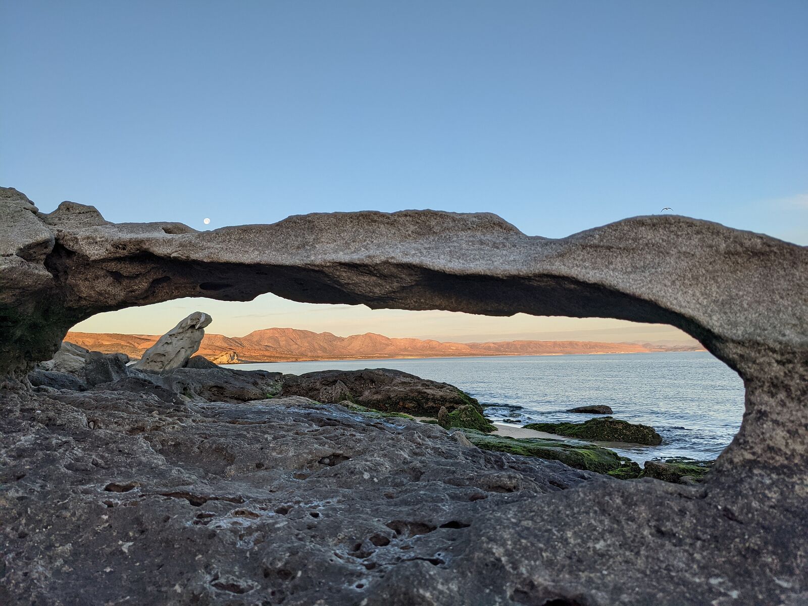
Punta el Pulpito
I'd heard here on BN (thanks again, Harald!) that there's an arch on the shore of Punta el Pulpito big enough to paddle a kayak through, and it's also
accessible by vehicle.
The road ends at (GPS:26.5161,-111.4480). From there, trekking to the arch (GPS:26.5156,-111.4435) requires getting your feet wet, even at low tide.
It was too windy for me to risk kayaking.
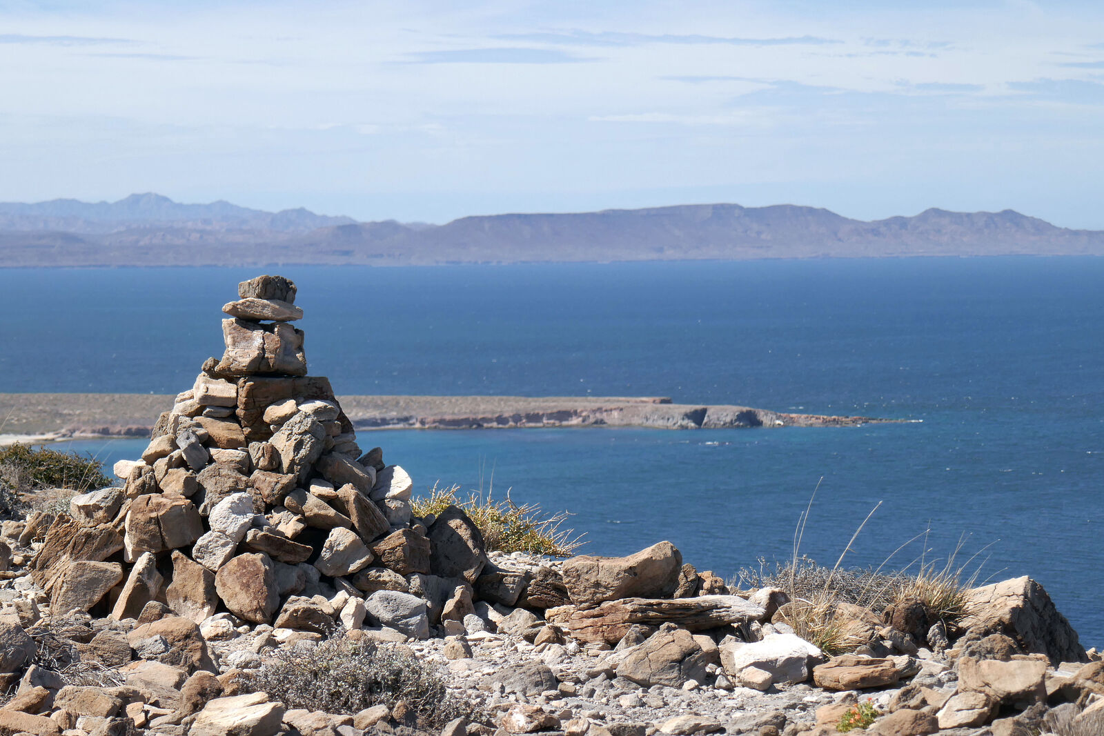
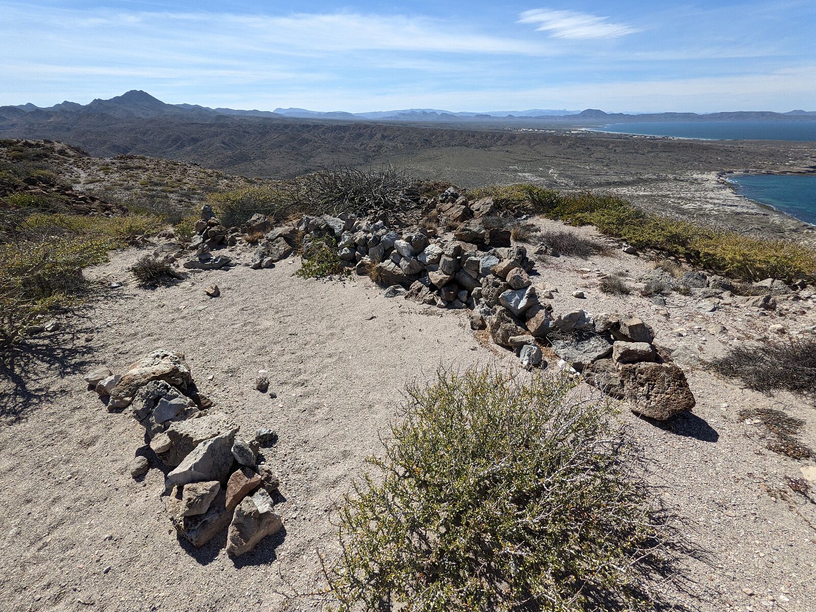
I also climbed the hills of Punta el Pulpo. There were paths and crude hilltop rock walls built by people who (I presume) had to spend time up there
avoiding the wind.
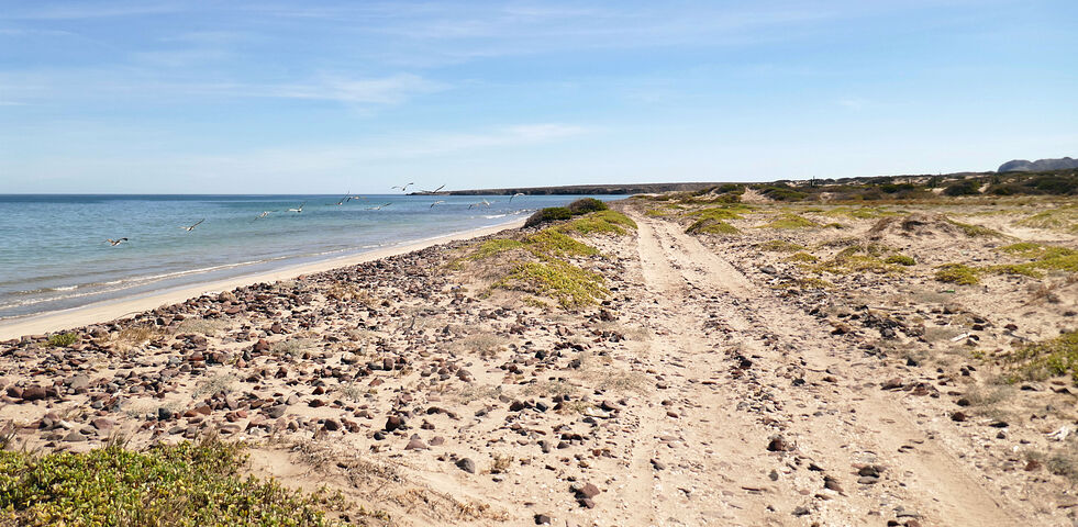
In the late afternoon, I drove back towards San Nicholas along the Beach Road. (Most of the time, the beach itself *is* the road.) I again passed El
Carricito and its long fence private property, and camped further on, at the next beach -- at the mouth of Arroyo la Zorra. (GPS:26.5370,-111.5240)
[Edited on 4-3-2023 by geoffff]
|
|
|
geoffff
Senior Nomad
Posts: 710
Registered: 1-15-2009
Member Is Offline
|
|
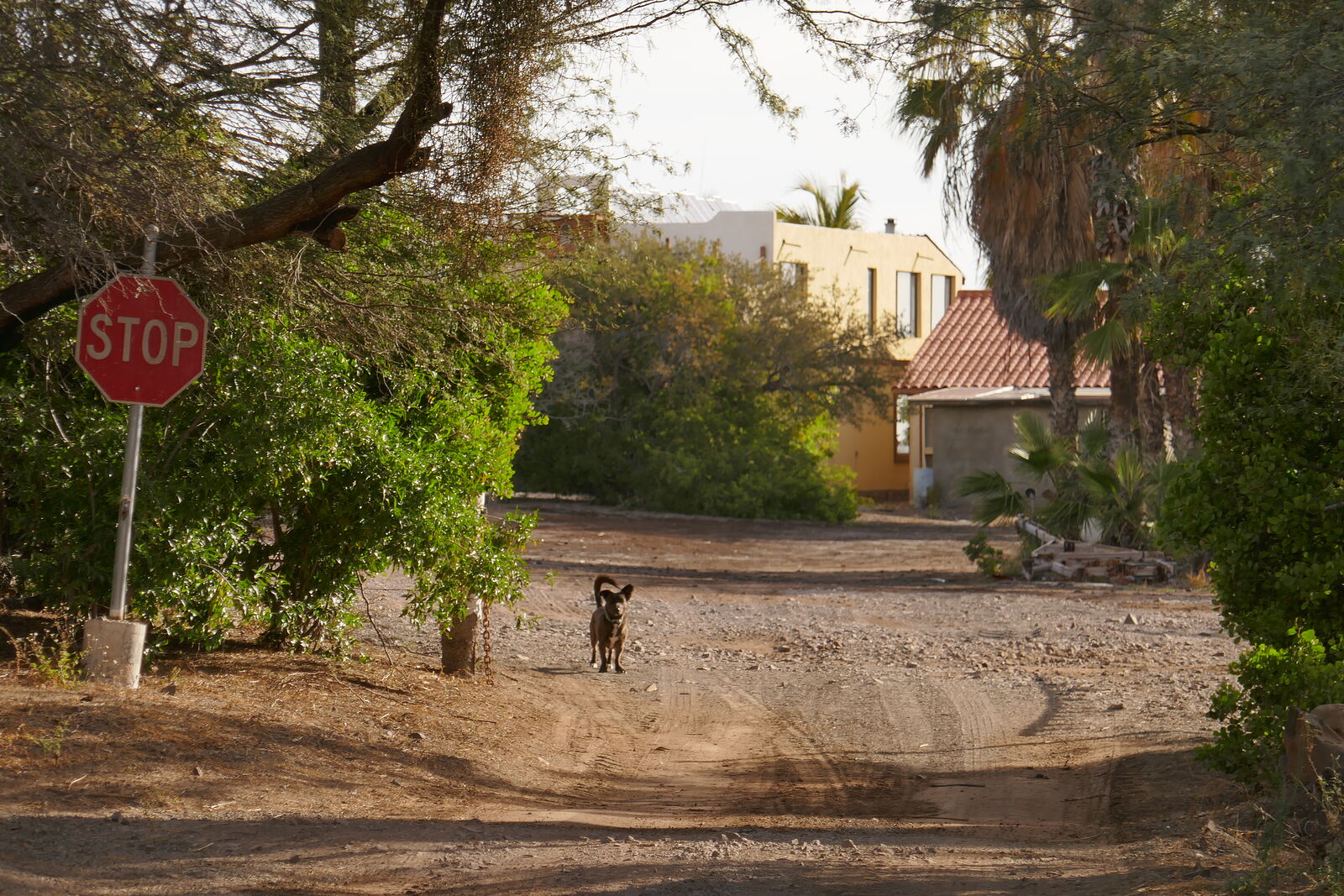
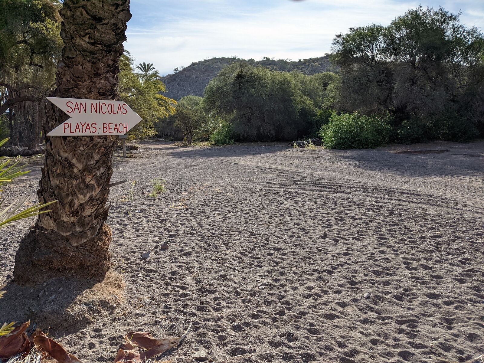
San Sebastian
The next day, I decided to drive along more of the shore, from San Nicolas on to San Sebastian (Arroyo Verde).
This road started out nice and smooth, but after La Ramadita, it degraded to an eroded ATV track. At least the only tire tracks I saw were ATV tracks.
But I was stubborn (and only a little bit stupid) and made it all the way to San Sebastian. (GPS:26.6155,-111.5716)
It turned out San Sebastian, with all its fancy modern houses, did not want visitors. A cute sign redirected traffic the way I had just come, back
over to San Nicolas for "playas - beach". I pity any tourists who try.
After a quick game of hoops with this vulture, I headed west back to the highway via the south end of Bahia Concepcion.
I exited the area via rancho El Molino, where I met Manuel -- who was very friendly and encouraged me to drop in whenever I was passing through.
(GPS:26.5344,-111.7240)
[Edited on 4-3-2023 by geoffff]
|
|
|
geoffff
Senior Nomad
Posts: 710
Registered: 1-15-2009
Member Is Offline
|
|
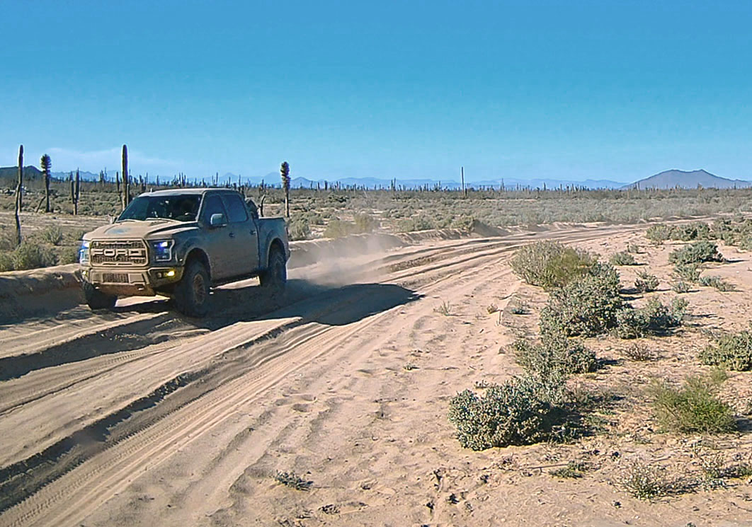
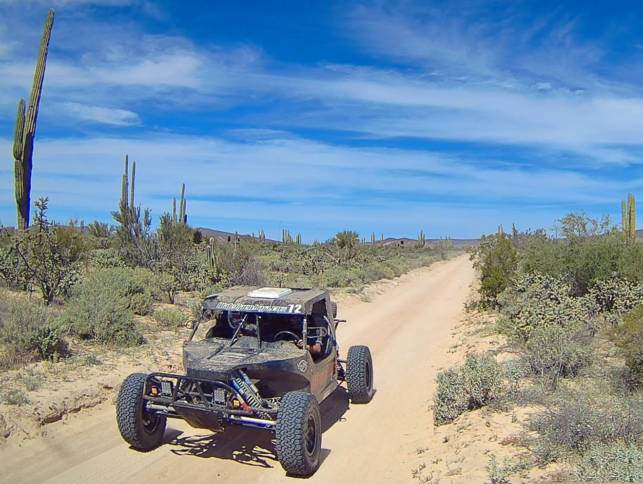
My final big excursion was to do the Bahia San Rafael and Bahia de los Angeles loop again. An old favorite!
This was the first time I encountered any significant off-pavement traffic. I came across several groups racing along in pickups or sand cars. The
lead car would wave me down and indicate how many vehicles were behind him.
=====================================================
Miraflores Pictographs
I had a pretty good idea of the location of some pictograph caves east of rancho Miraflores, so I took a detour to see if I could find them.
The access road passes right through rancho Miraflores itself. As I rolled through, Guillermo Talamantes Lopez came out to talk with me.
Guillermo was friendly and extremely talkative. I started to simply try explaining I was looking for a particular hill in the area, but pretty soon
the topic of rock art came up. I think Guillermo assessed my intentions for a while, and then he decided to confirm for me the location of the rock
art place I was seeking by drawing maps in the dirt floor. (No English, and my Spanish skills are... a bit lacking.) He also mentioned a second cave
nearby. He asked me to not share the location of any of this rock art.
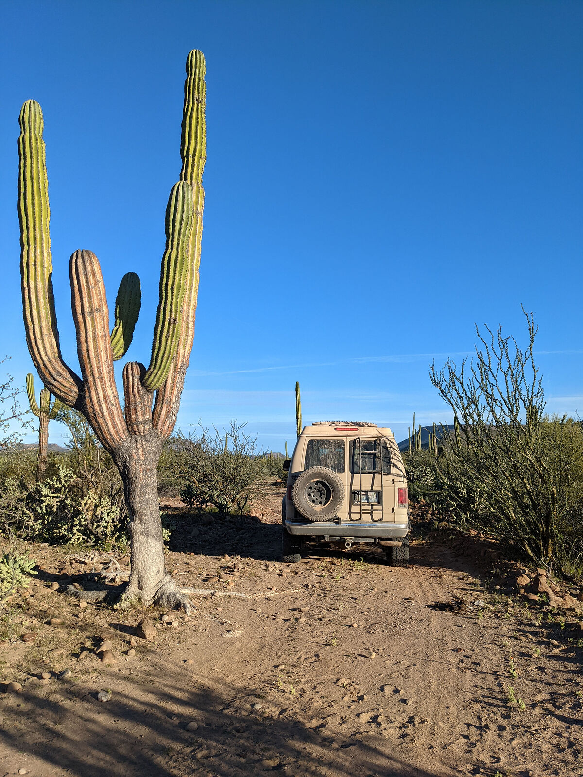
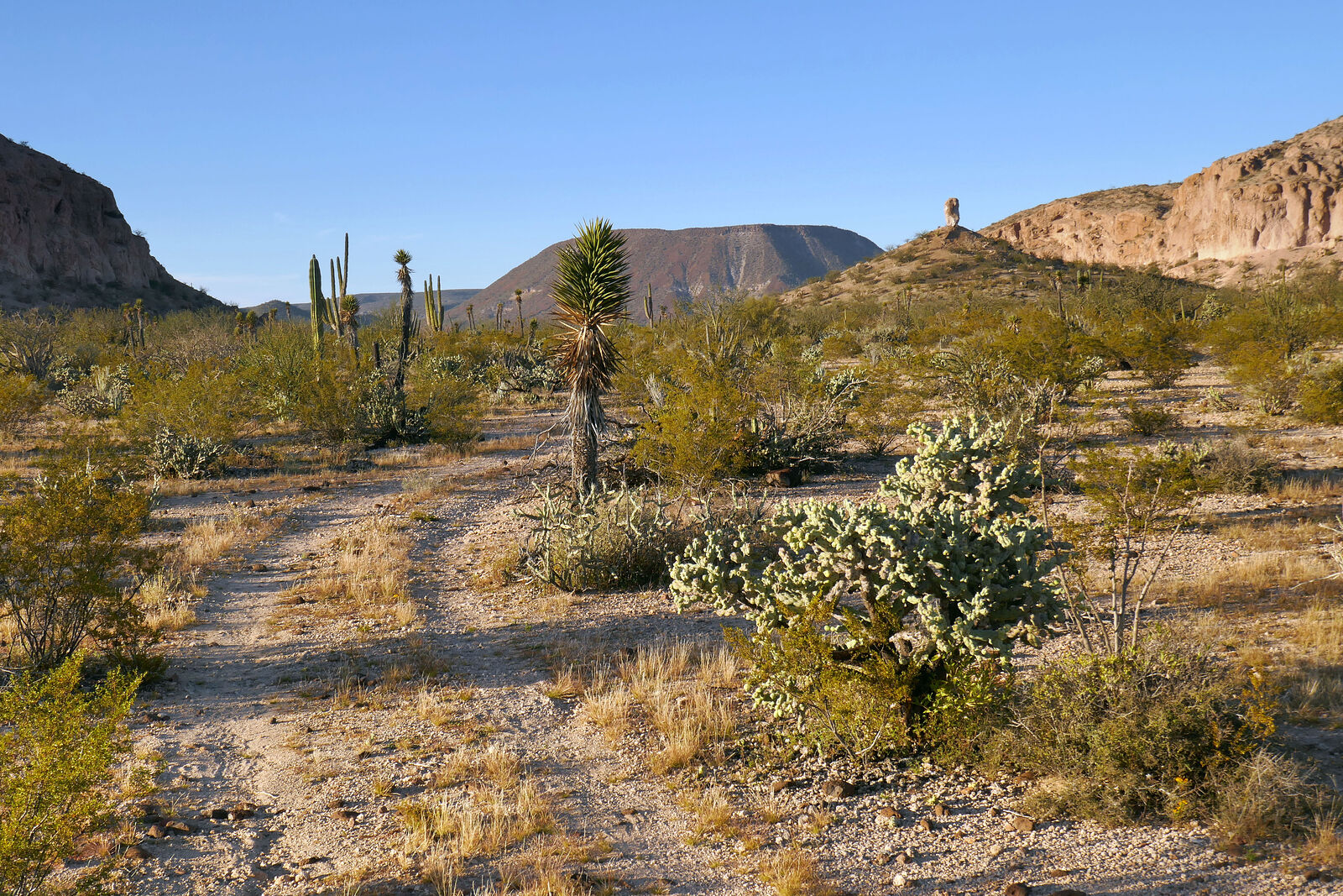
Driving out to the caves on the rarely-driven (but smooth) road was beautiful. I kept my eyes out for caves, and also a "standing rock" Guillermo had
told me to look for.
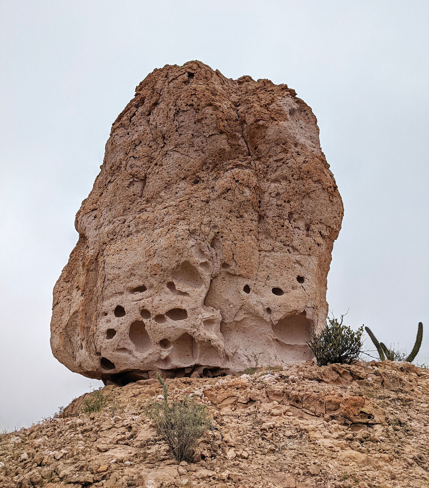
Soon, I spotted it! The centerpiece of the whole area was a tall boulder (maybe 20 feet tall) perched vertically on the peak of a hill, catching the
last of the afternoon sun.
I found my cave, and camped nearby. As the sun set, I ran up the hill to look for the pictographs in the last of the daylight.
I also found countless stone tools and a few wayward seashells.
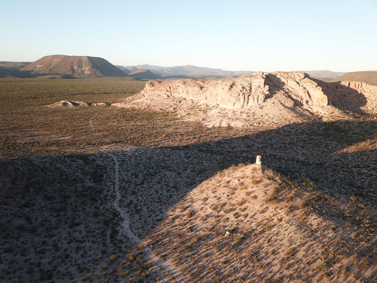
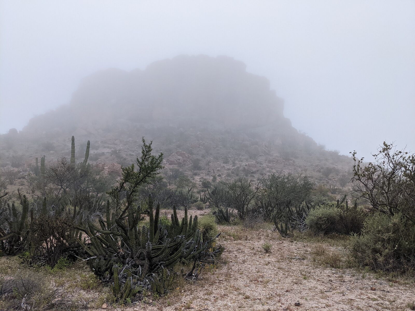
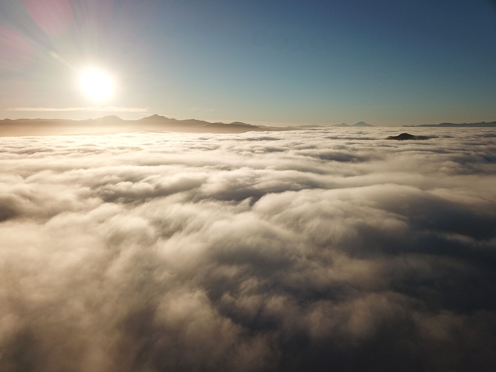
The next morning was foggy. I flew my drone up to peek above the clouds.
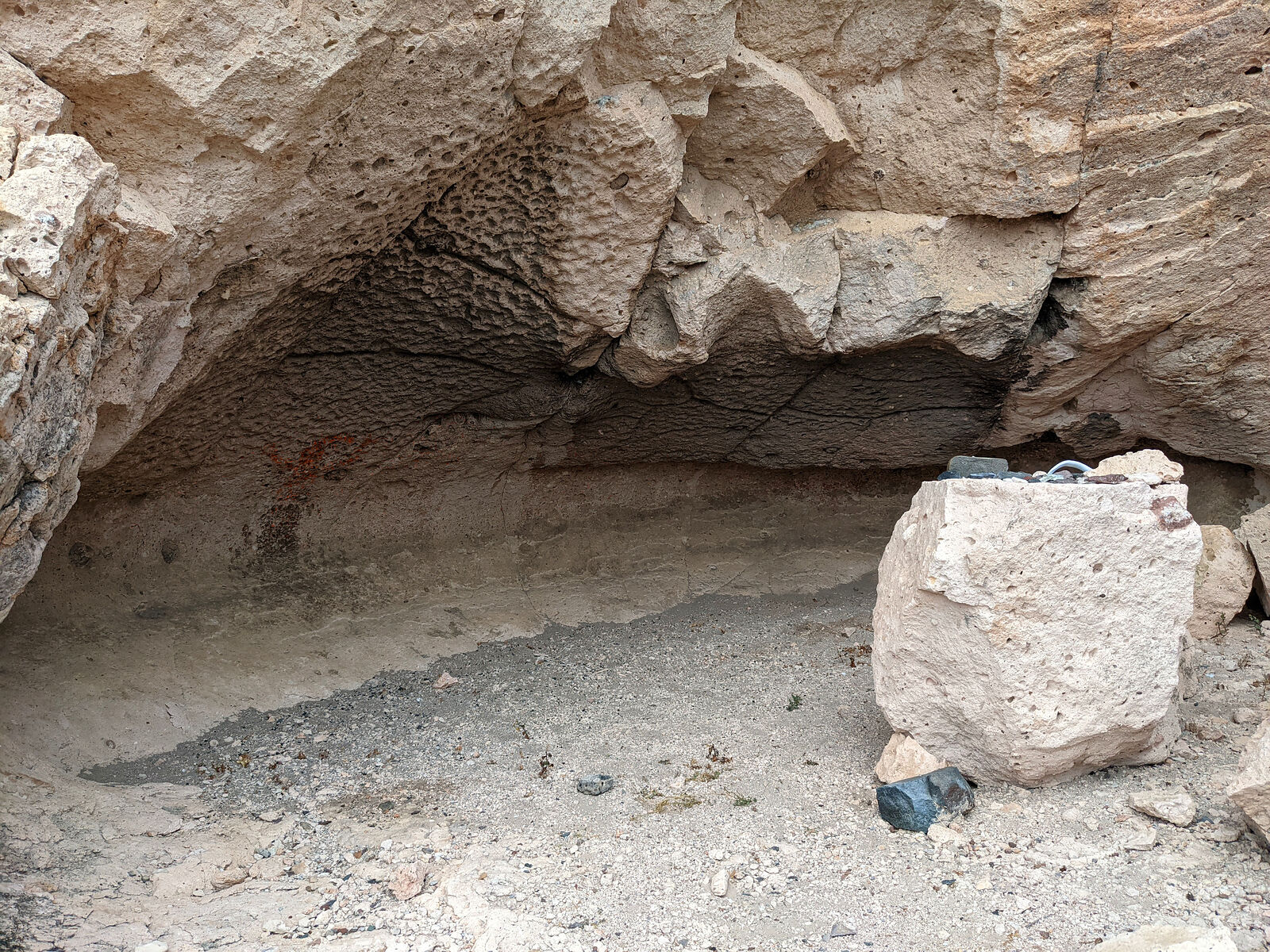
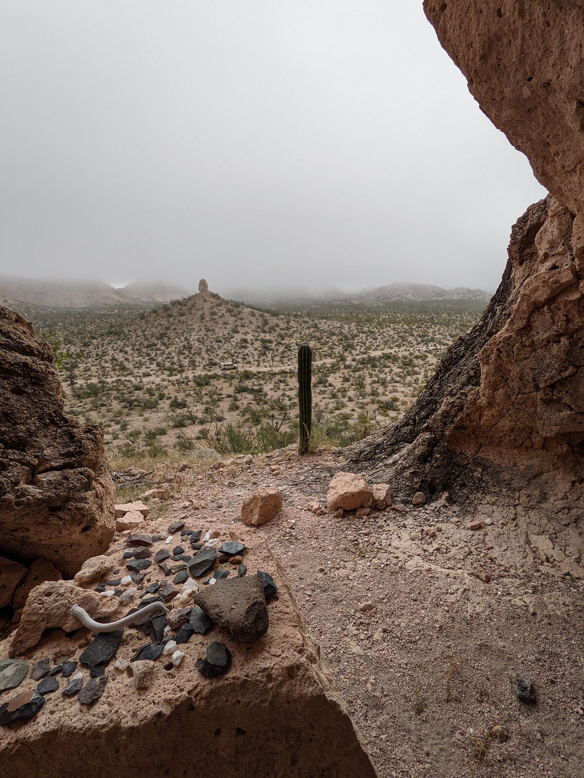
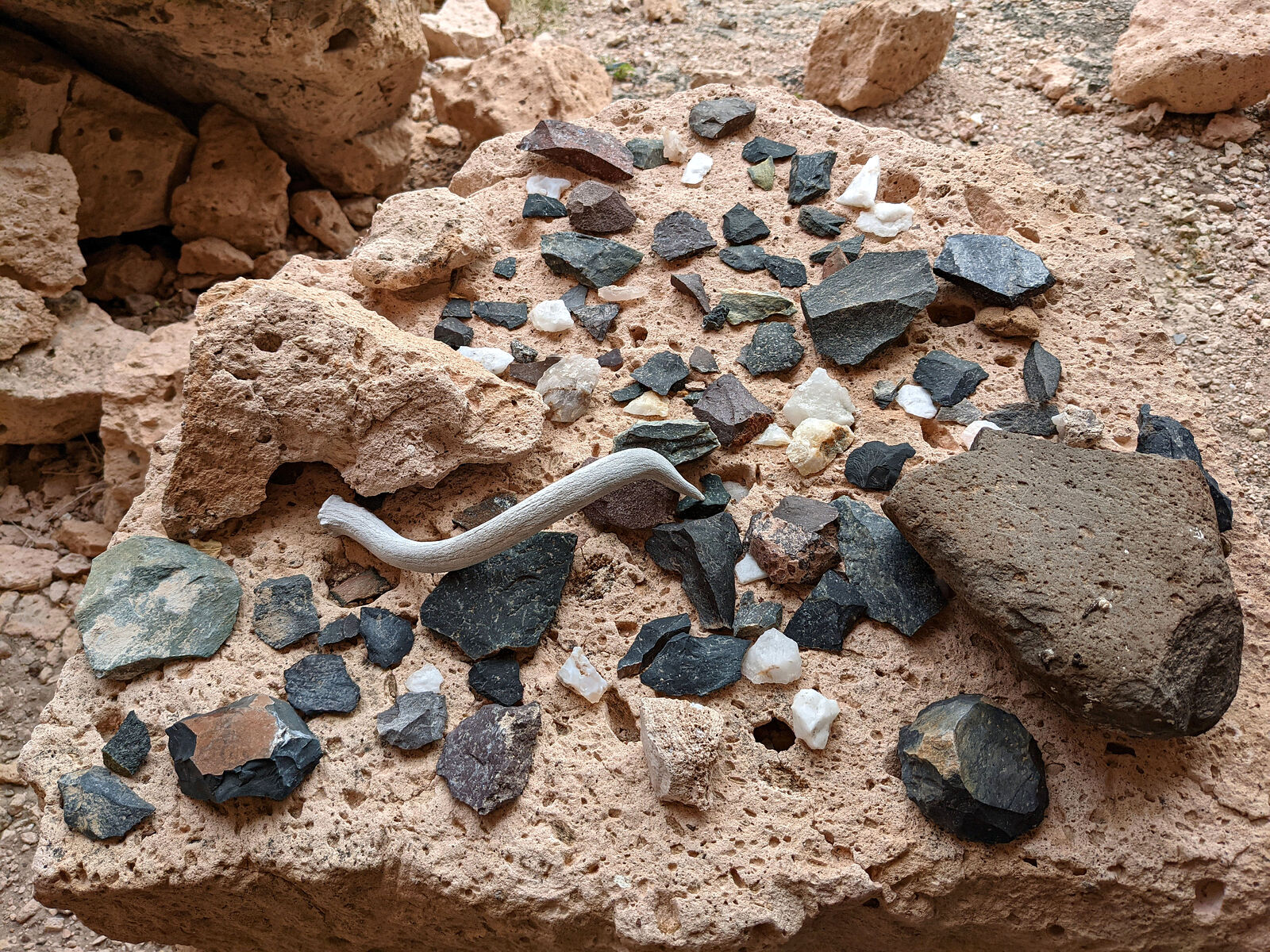
Here is the second cave Guillermo told me about. This cave was light on rock art, but had a "museum" of stone tools which past visitors had laid out
on a stone rock "table". (I have mixed feelings about people doing that -- disturbing a site.)
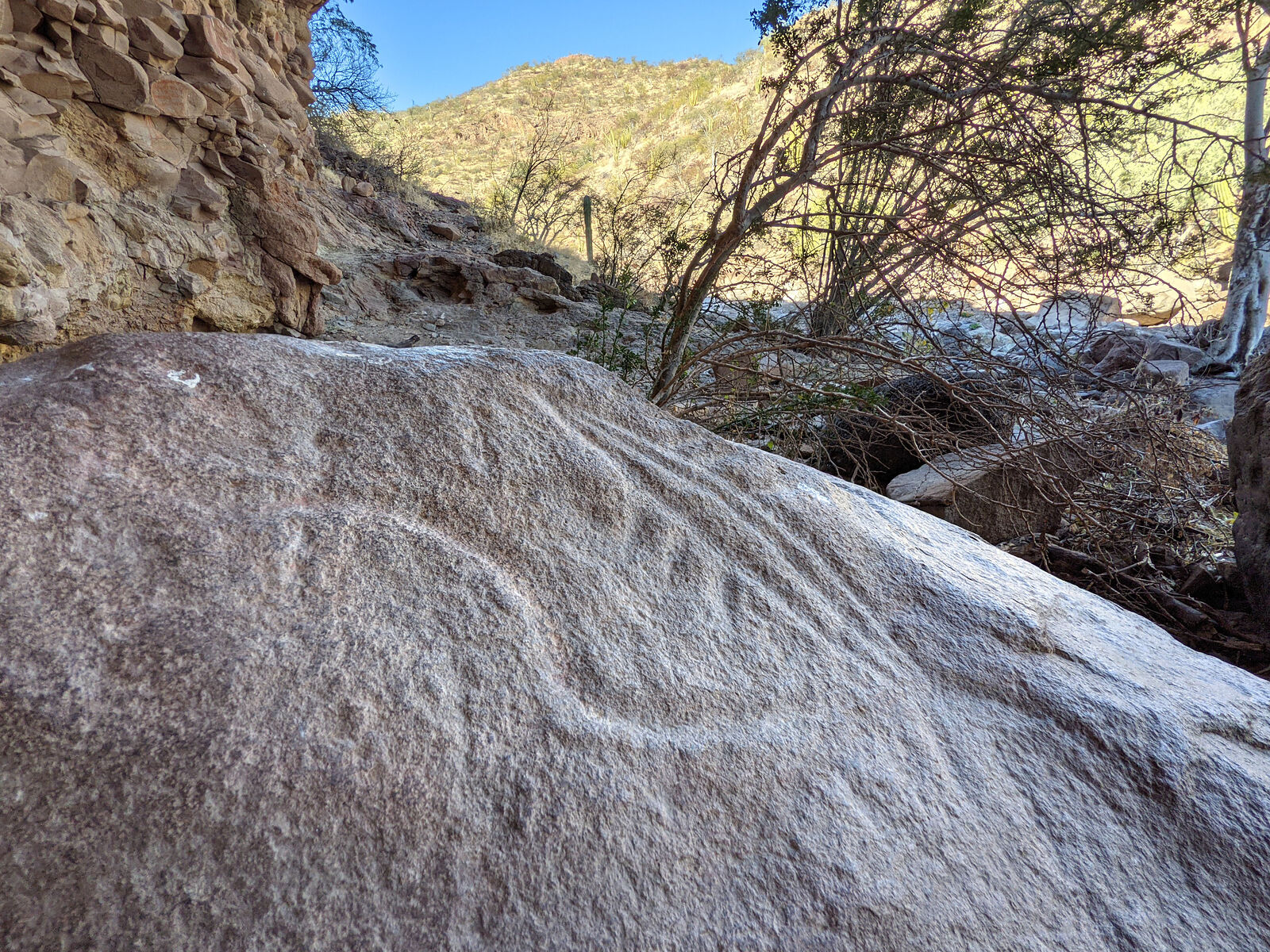
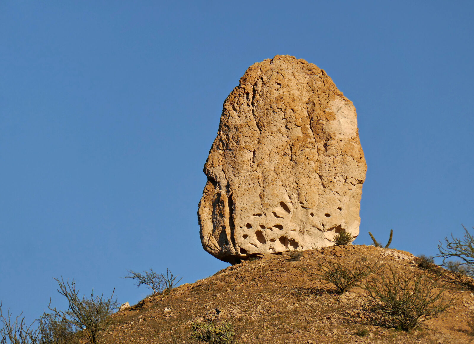
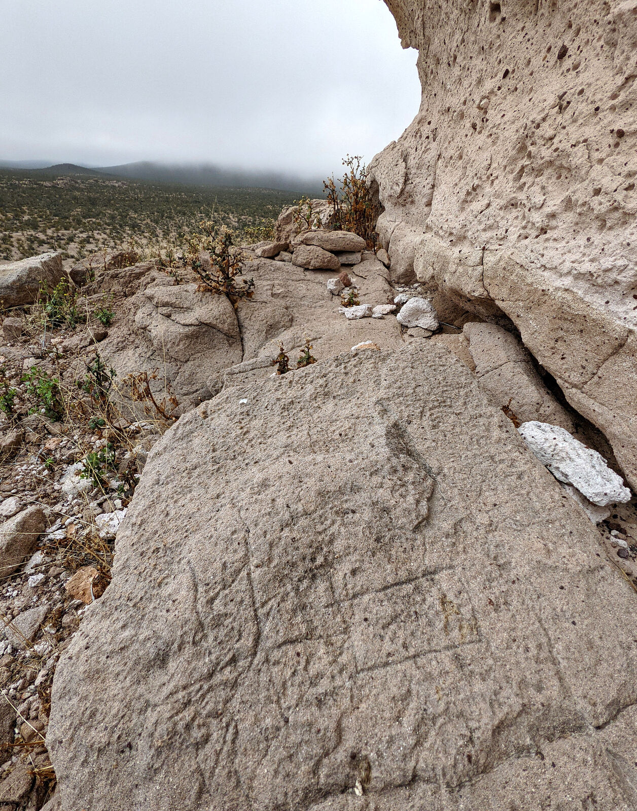
Finally I climed up to see the standing stone up close. I imagined such a prominent landmark must have been very important to the people who once
lived here. I looked around for any signs of human presence, and finally found a few abstract scratchings at the base of the boulder.
There were plenty of other caves nearby, but none I randomly tried climbing up to contained rock art.
On my way out of the area, I chatted some more with Guillermo. He offered to take me around on his ATV and show me some more rock art sites without
road access. That would be an amazing adventure! But for another day. Also, I much prefer the experience of "finding" these places, not being shown
them.
All our talking was in Spanish. At some point Guillermo gently recommended I put some effort into improving my conversational Spanish! Heh, yeah...
Well, I definitely have some room for improvement.
|
|
|
geoffff
Senior Nomad
Posts: 710
Registered: 1-15-2009
Member Is Offline
|
|
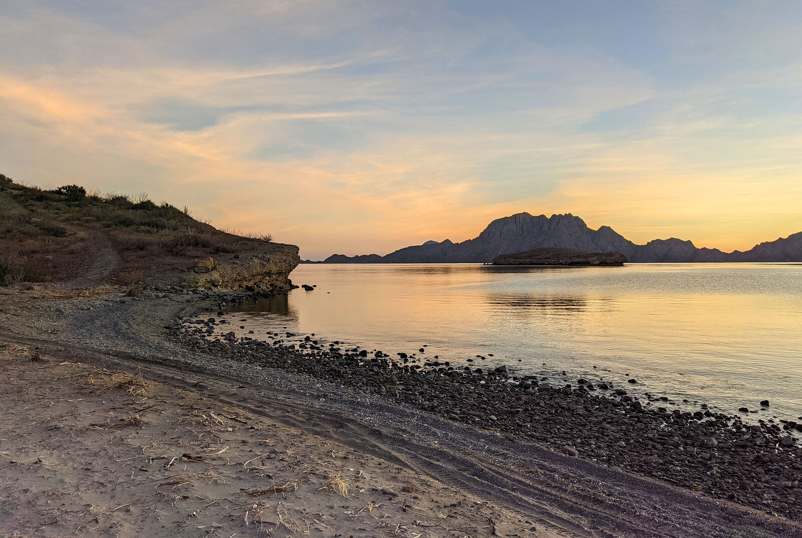
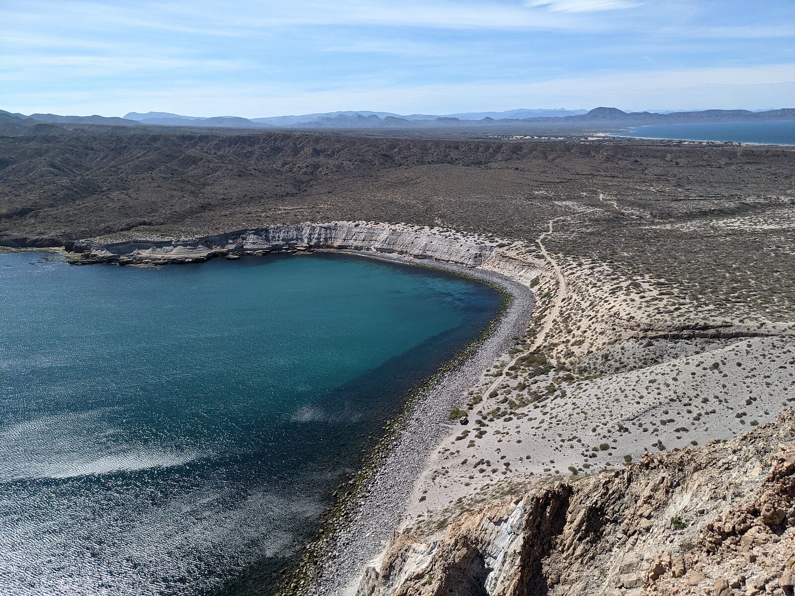
Bahia San Rafael
One of my favorite beaches is the south end of Bahia San Rafael. (GPS:28.4563,-112.9745)
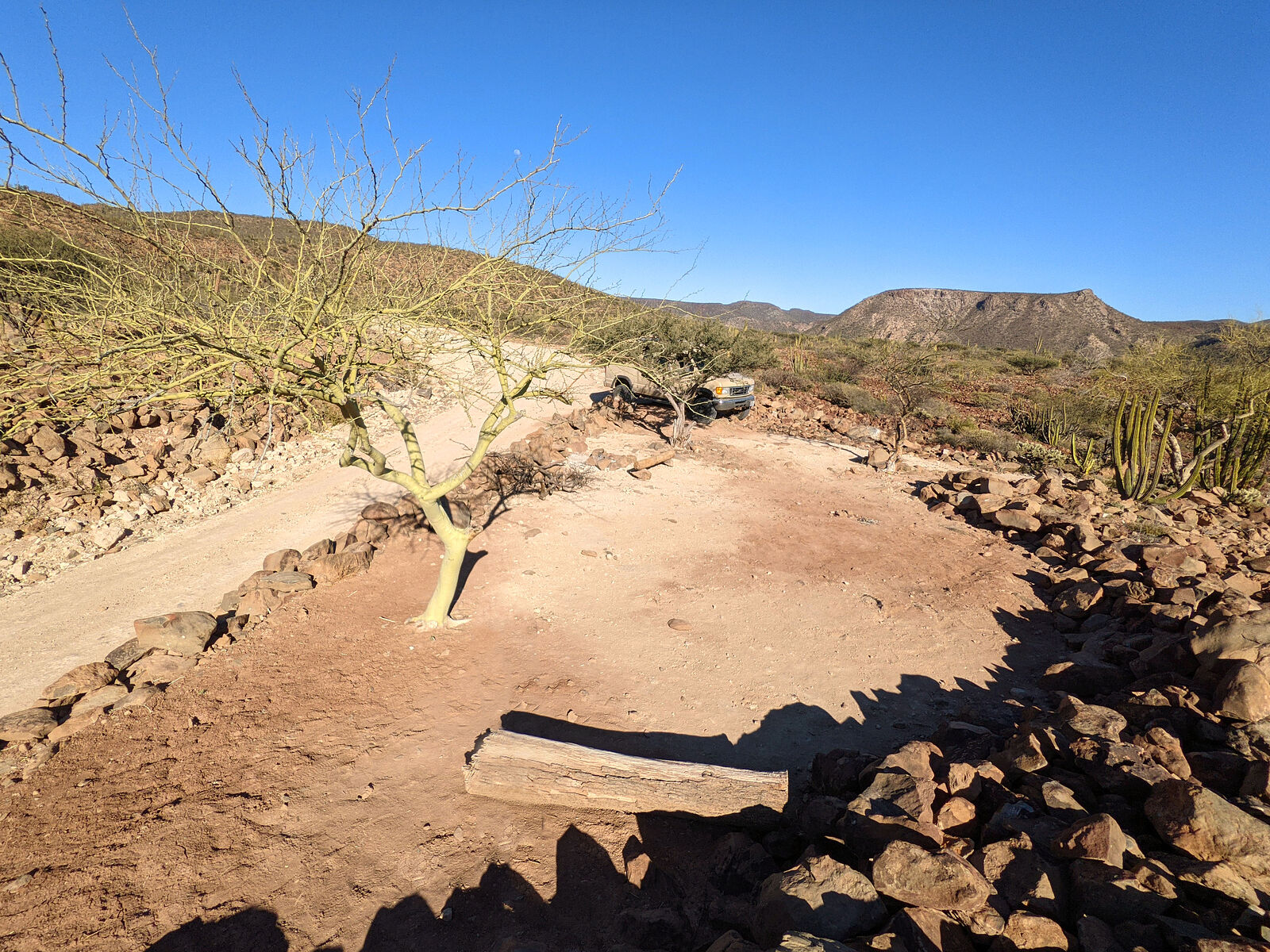
My very favorite beach in the area is the most remote one (surprise, surprise), but this time the eroded mining access road had deteriorated to be
impassible by my van without risking breaking something. I almost broke my van trying. (GPS:28.4553,-112.9904)
As always, there was some good beachcombing here. I found several dolphin skulls and other body parts.
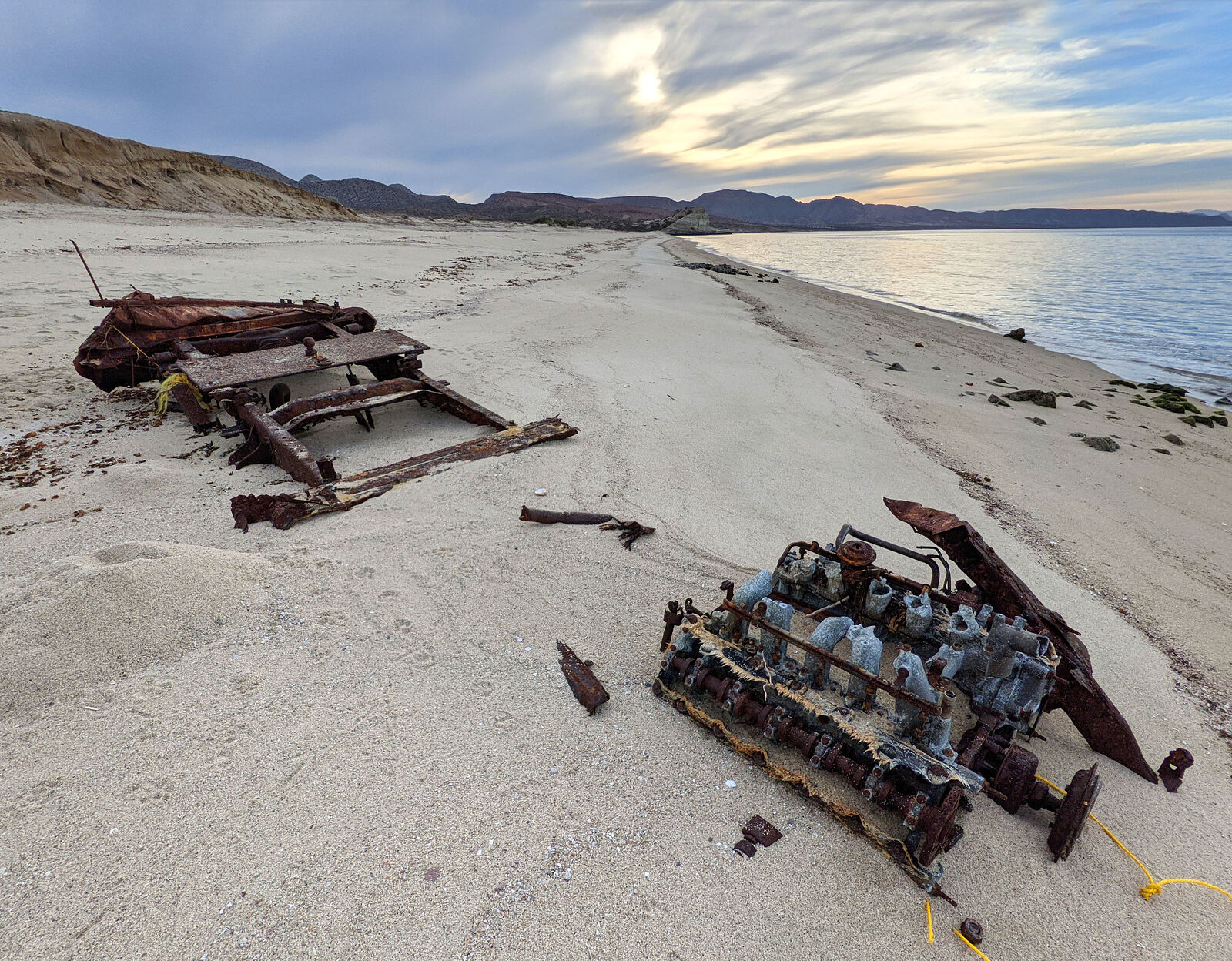
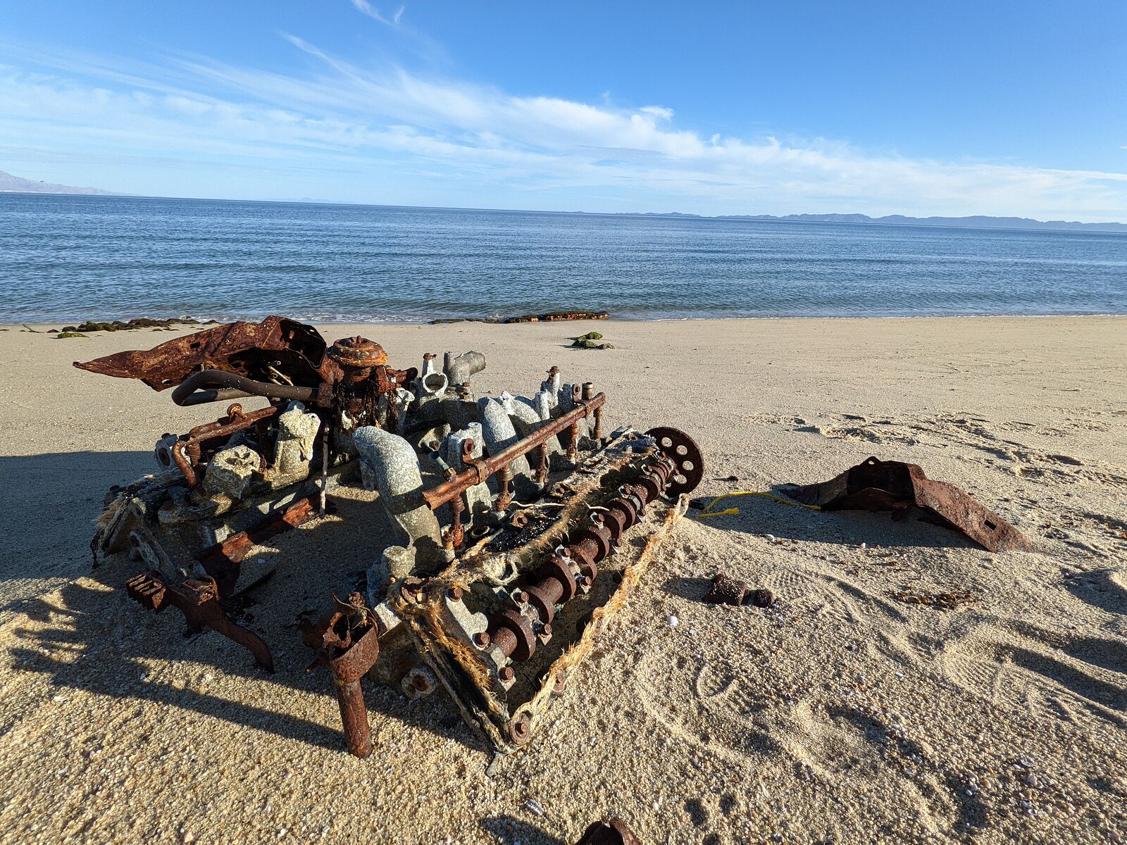
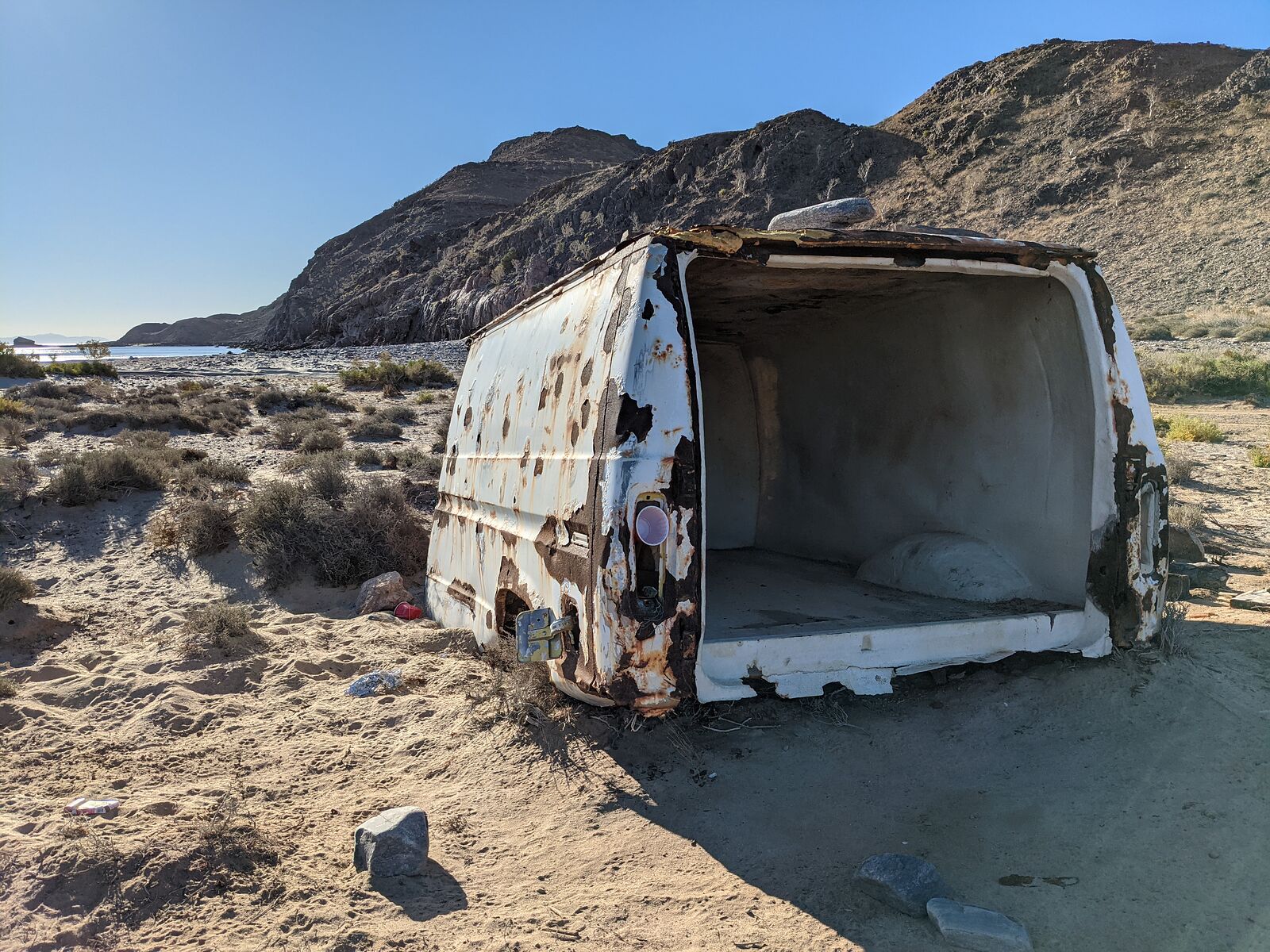
A sad beachcombing find was this ex-pickup truck. It once had a fancy V10 engine. I'm guessing some solo tourist got stuck below the the high tide
mark. There's not much left of that truck now. I wonder how long it takes for a truck to disintegrate to this state -- just a bit of frame and engine?
More than a year?
|
|
|
geoffff
Senior Nomad
Posts: 710
Registered: 1-15-2009
Member Is Offline
|
|
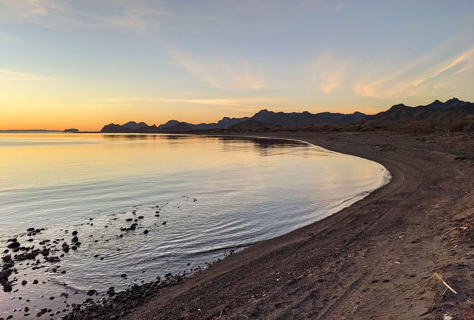
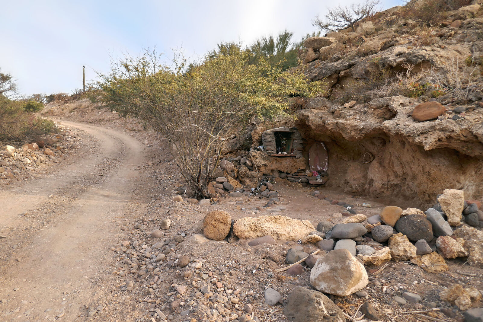
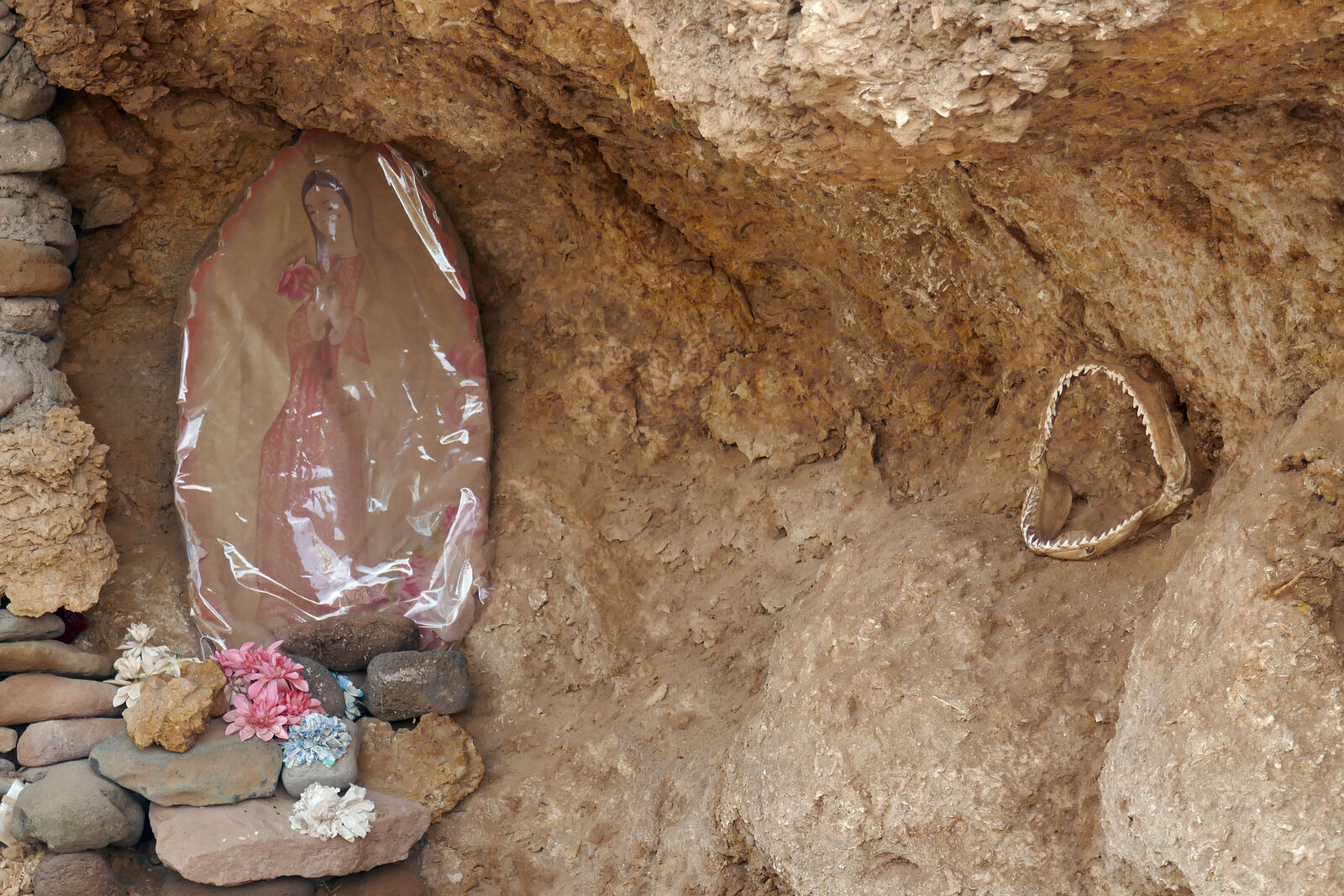
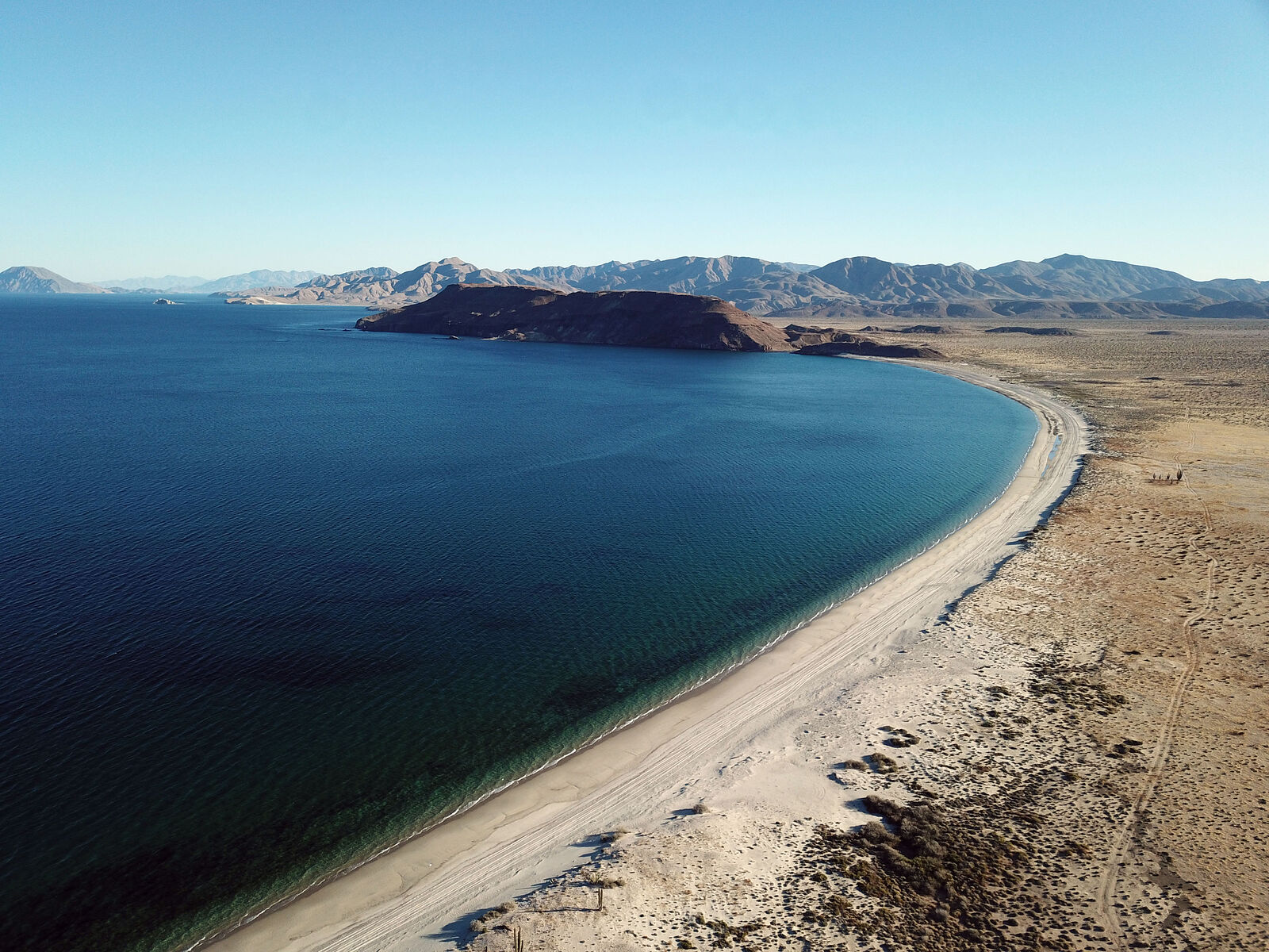
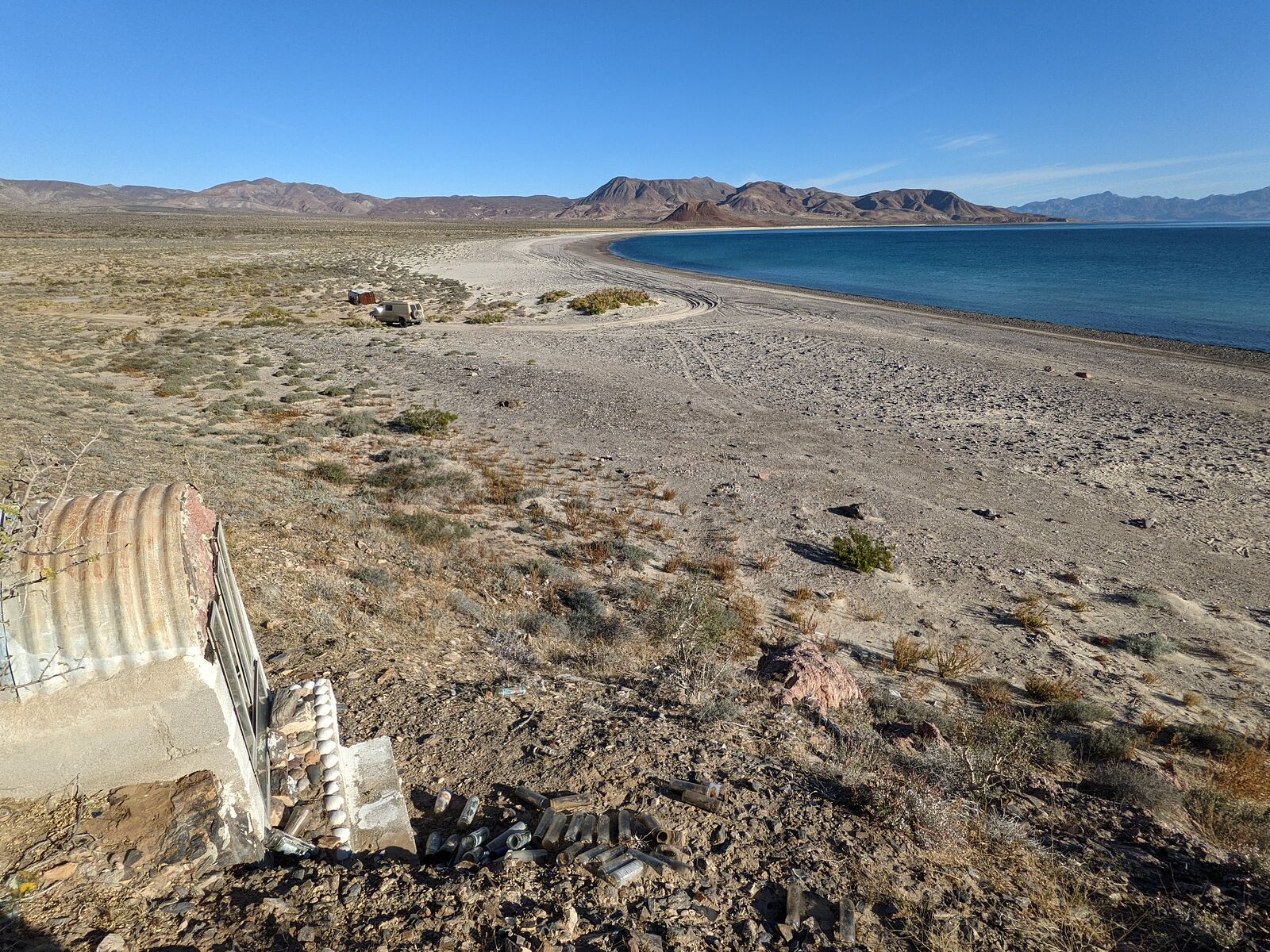
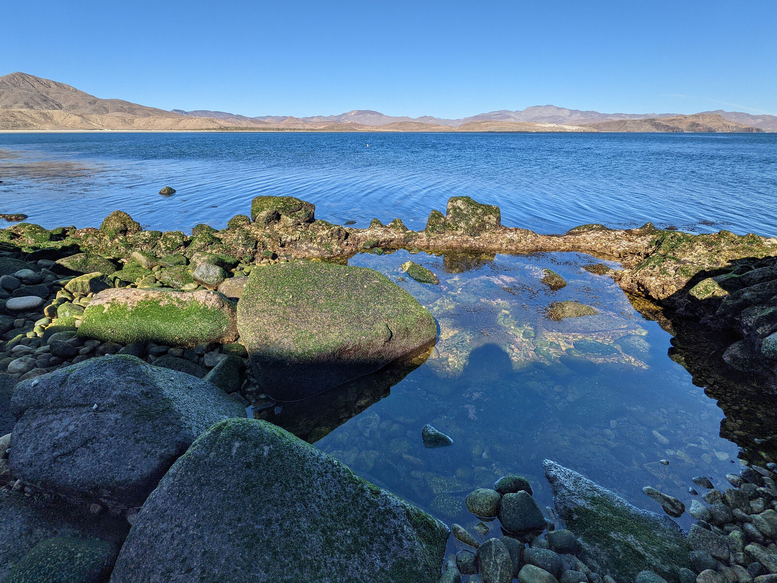
After gassing up in Bahia de los Angeles, I decided to check out some beaches to the north, along Bahia Guadalupe and Ensenada Alcatraz.
Bahia Guadalupe
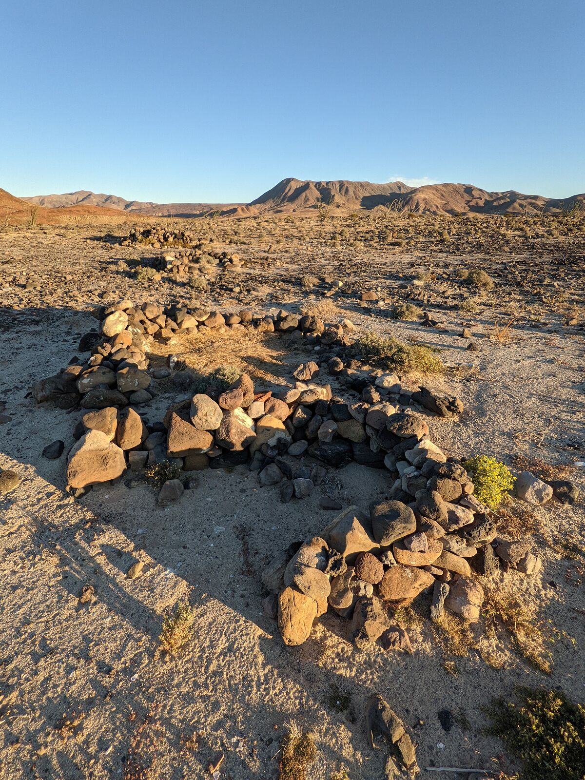
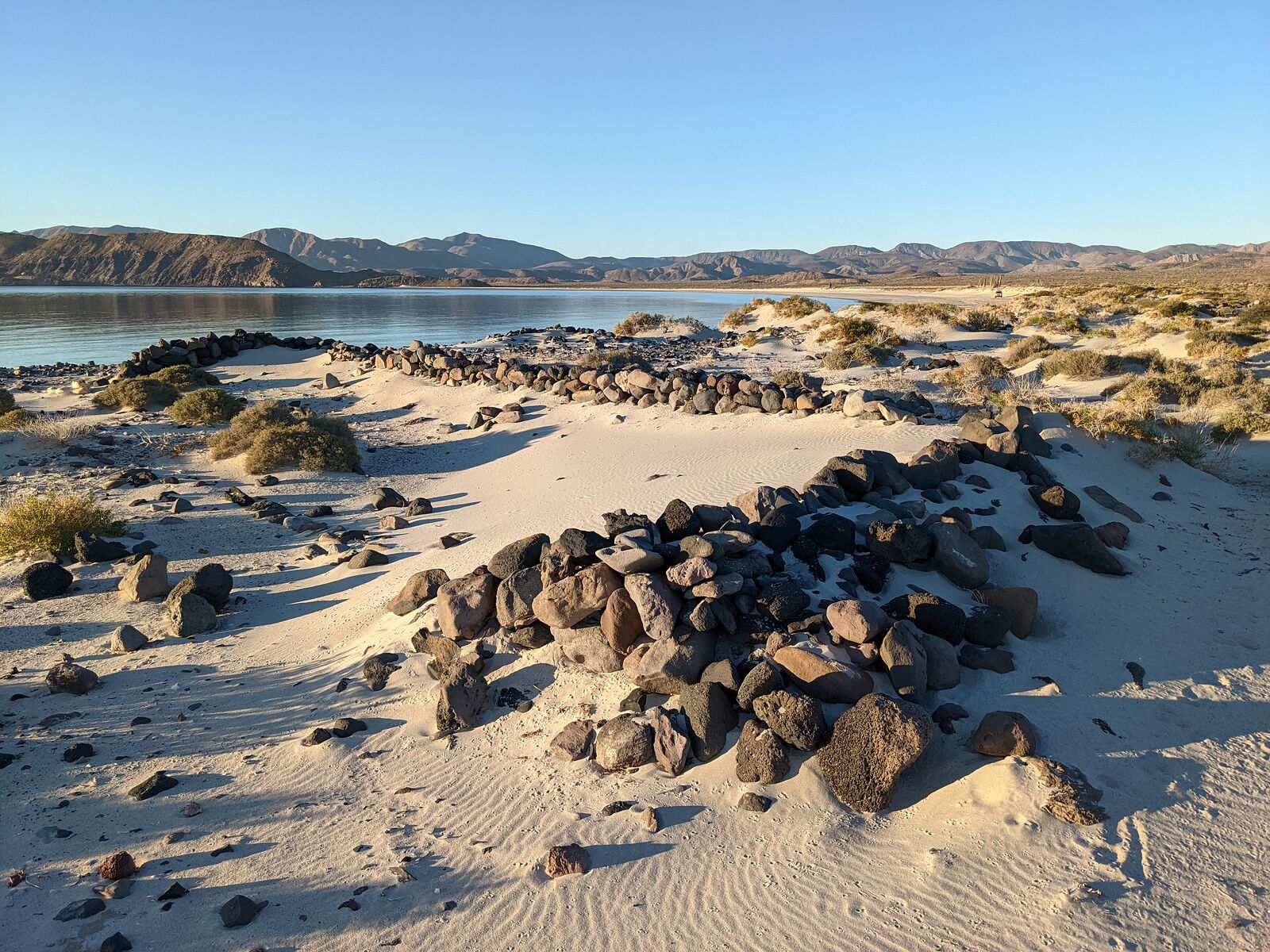
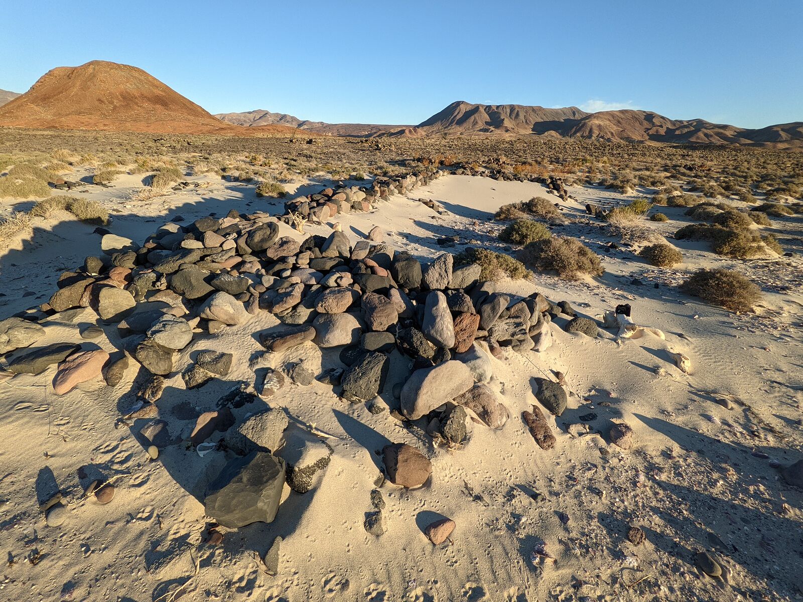
This was nice long remote white sand beach. (GPS:29.2249,-113.6530)
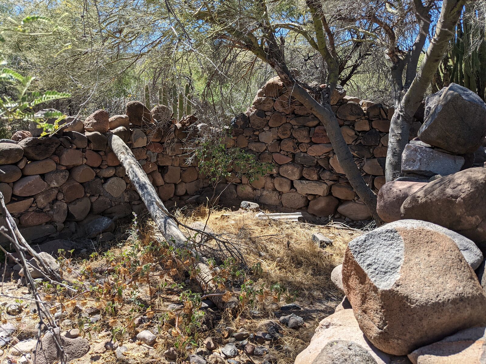
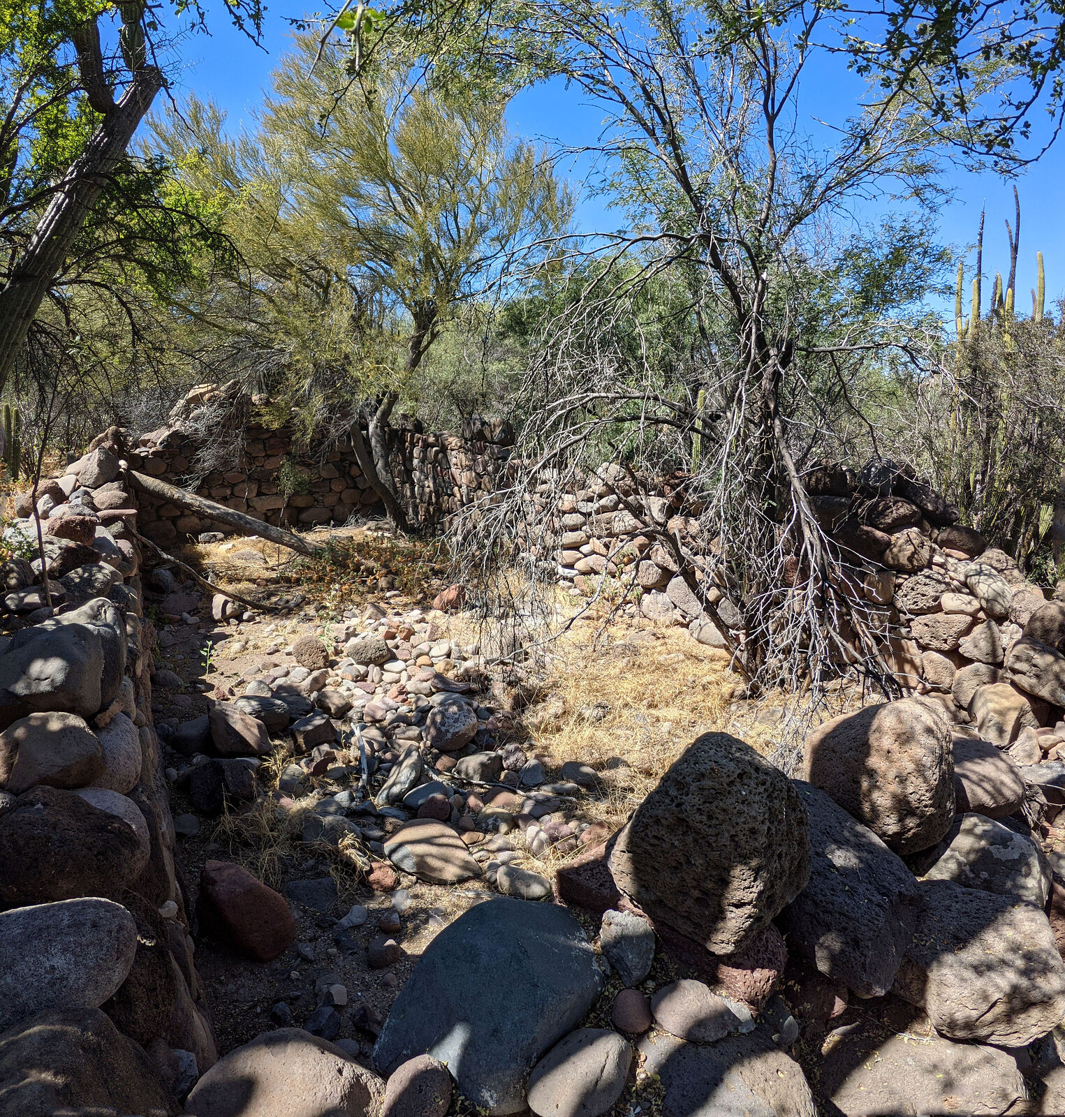
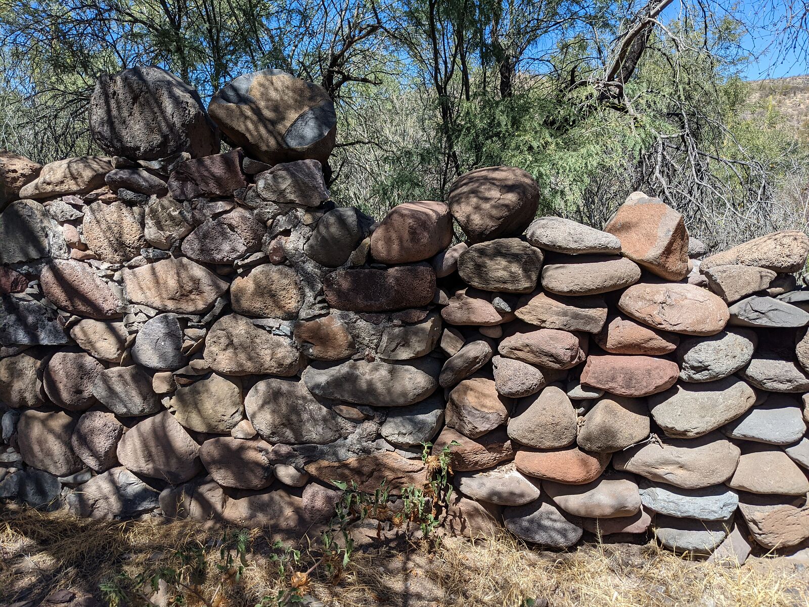
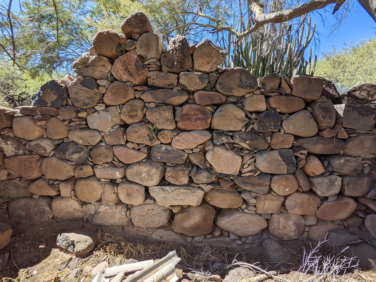
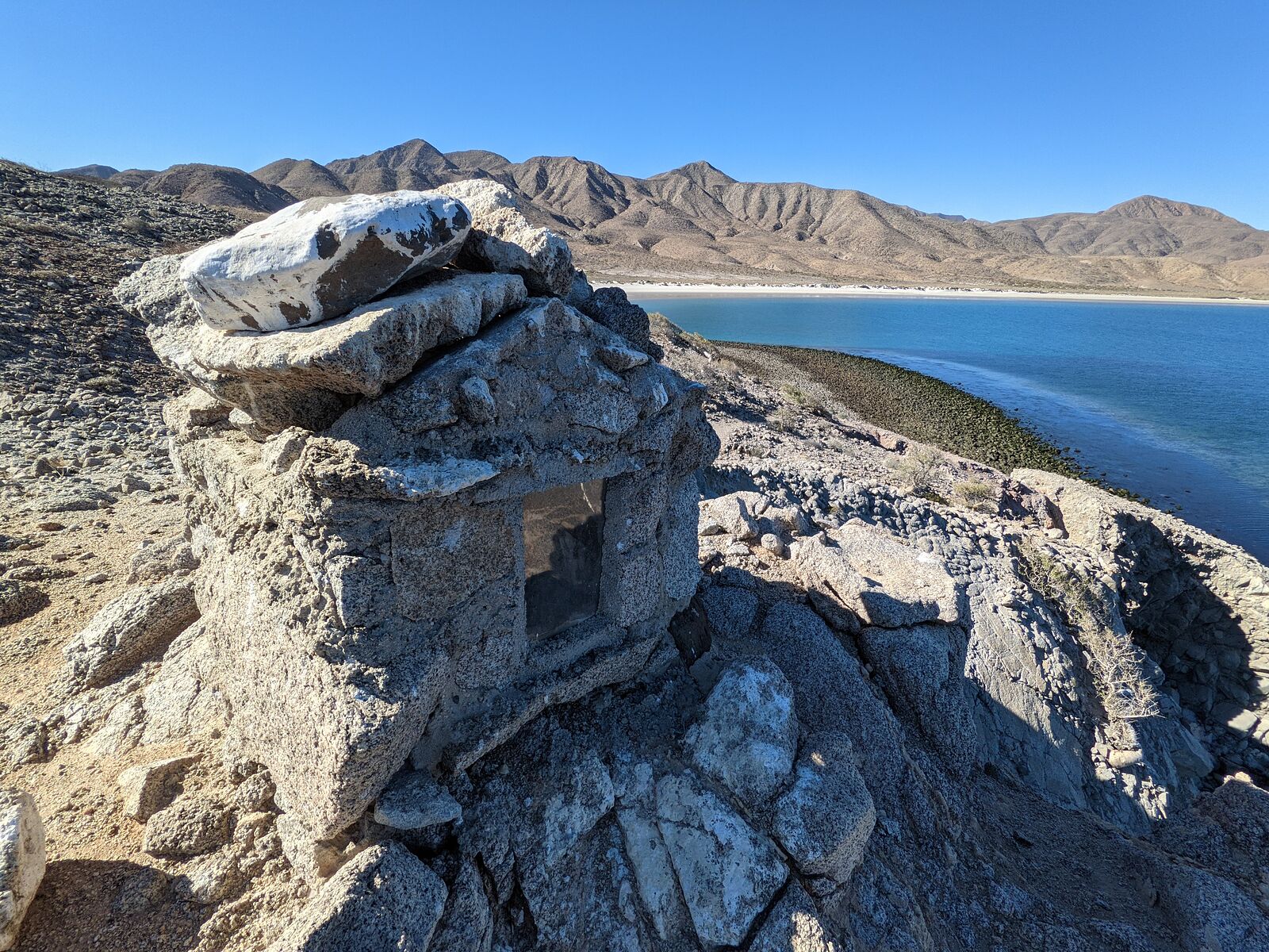
There are some rock wall ruins at the north end of the beach, by Cerro Colorado de Guadalupe (GPS:29.2272,-113.6507)
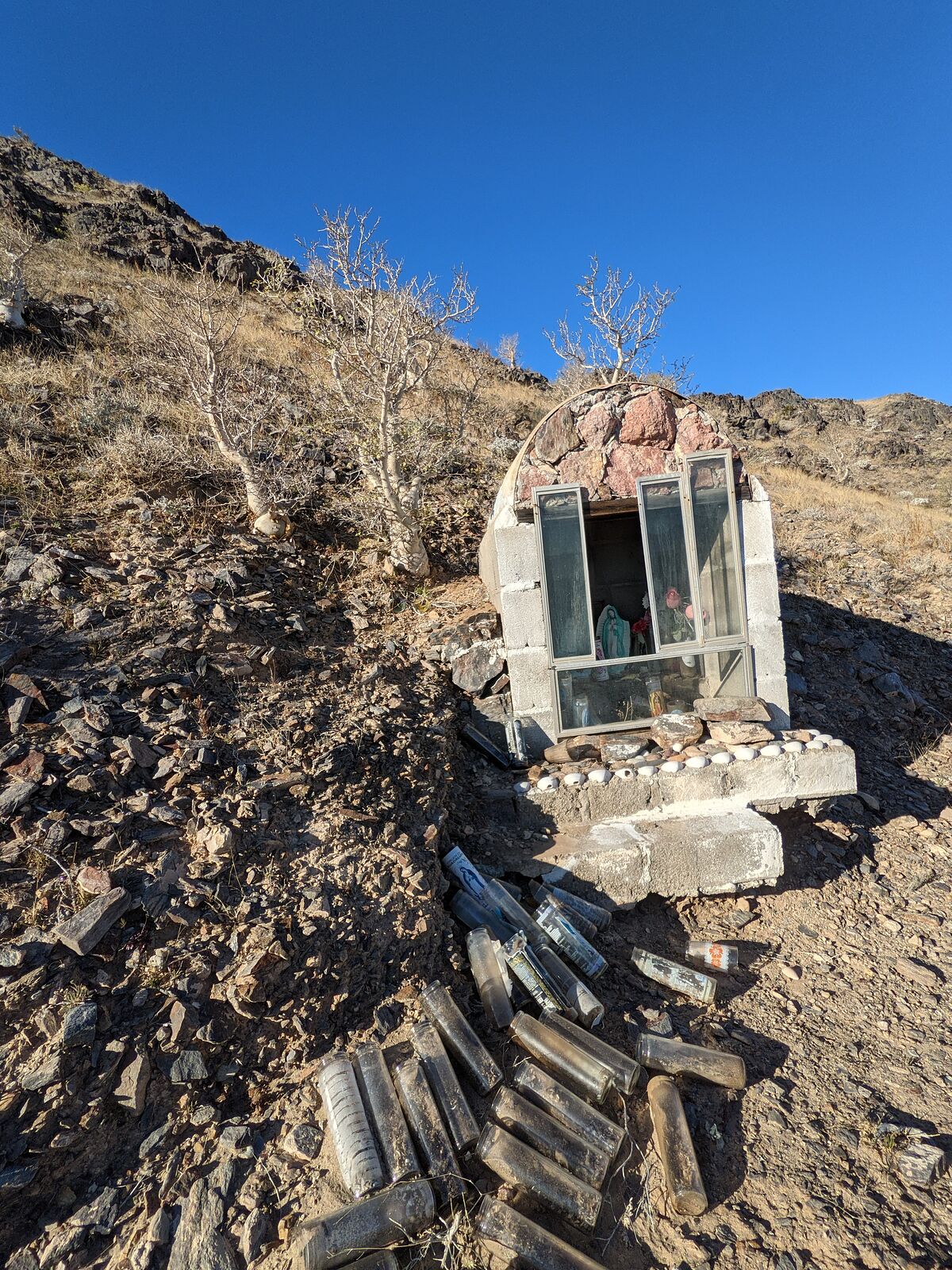
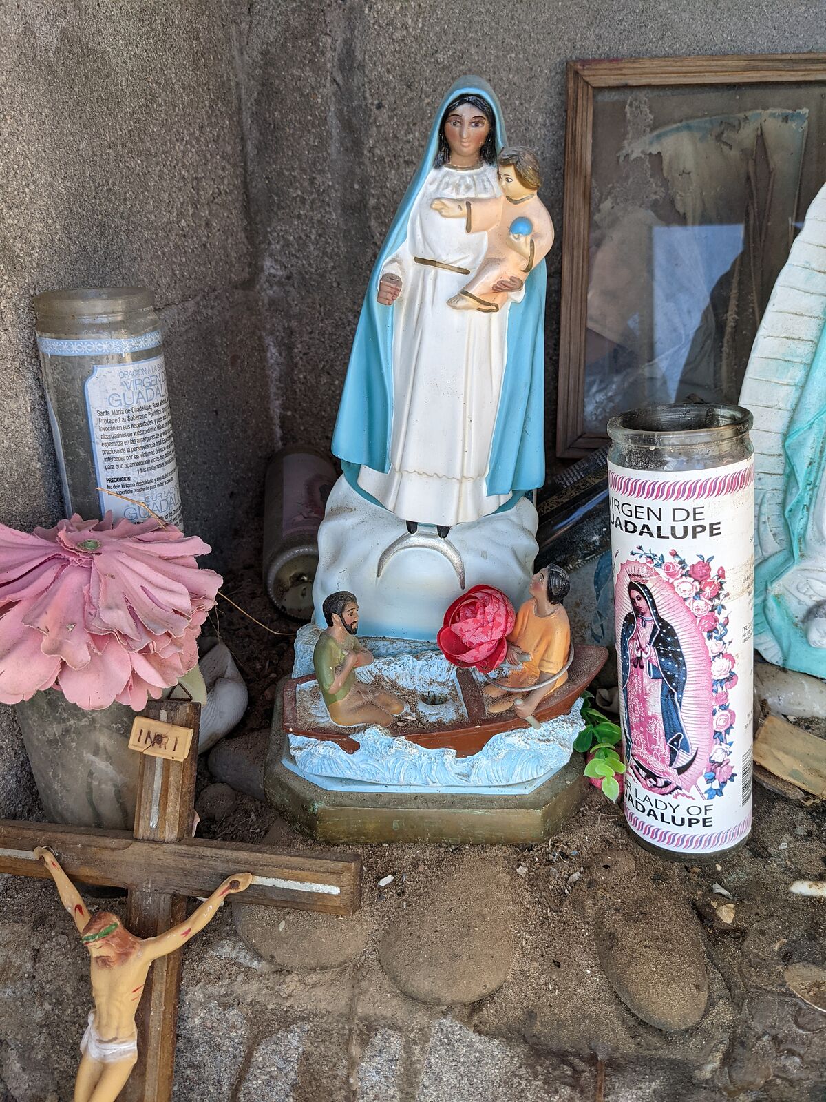
Campo Salomon - fishing camp the south end of the beach, with a little shrine. (GPS:29.2059,-113.6555) Note the rowboat.
=====================================================
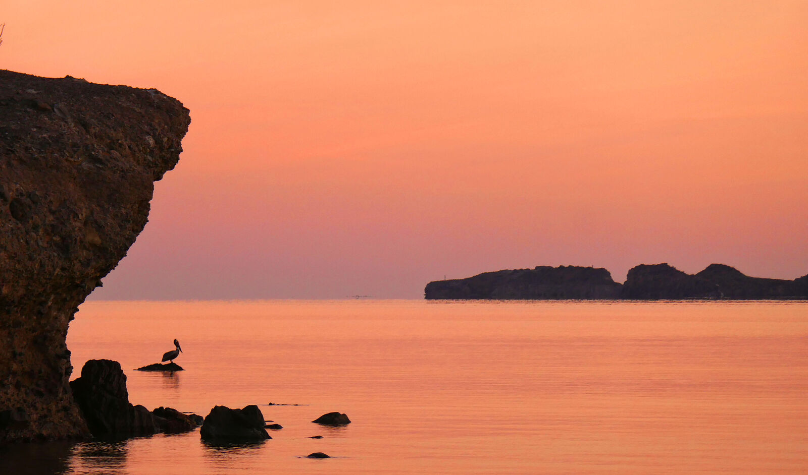
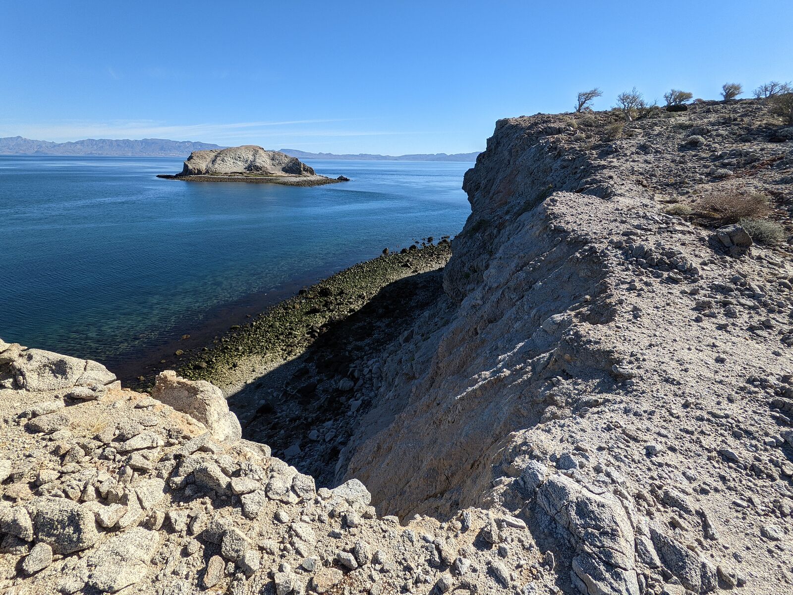
Ensenada Alcatraz
More secluded beauty here! One person did arrive by boat to do some fishing. (GPS:29.1614,-113.6114)
The access road is a faint winding sandy track barely visible in satellite imagery.
|
|
|
David K
Honored Nomad
Posts: 65440
Registered: 8-30-2002
Location: San Diego County
Member Is Offline
Mood: Have Baja Fever
|
|
WOW!!!
I am so happy you were able to see these places, and now, so can we.
Thanks Geoffff!
|
|
|
geoffff
Senior Nomad
Posts: 710
Registered: 1-15-2009
Member Is Offline
|
|
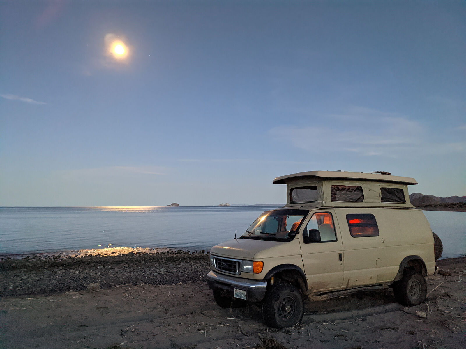
Return to Shell Island
I wrapped up my trip with one last night on the Percebu sand bar (Shell Island).
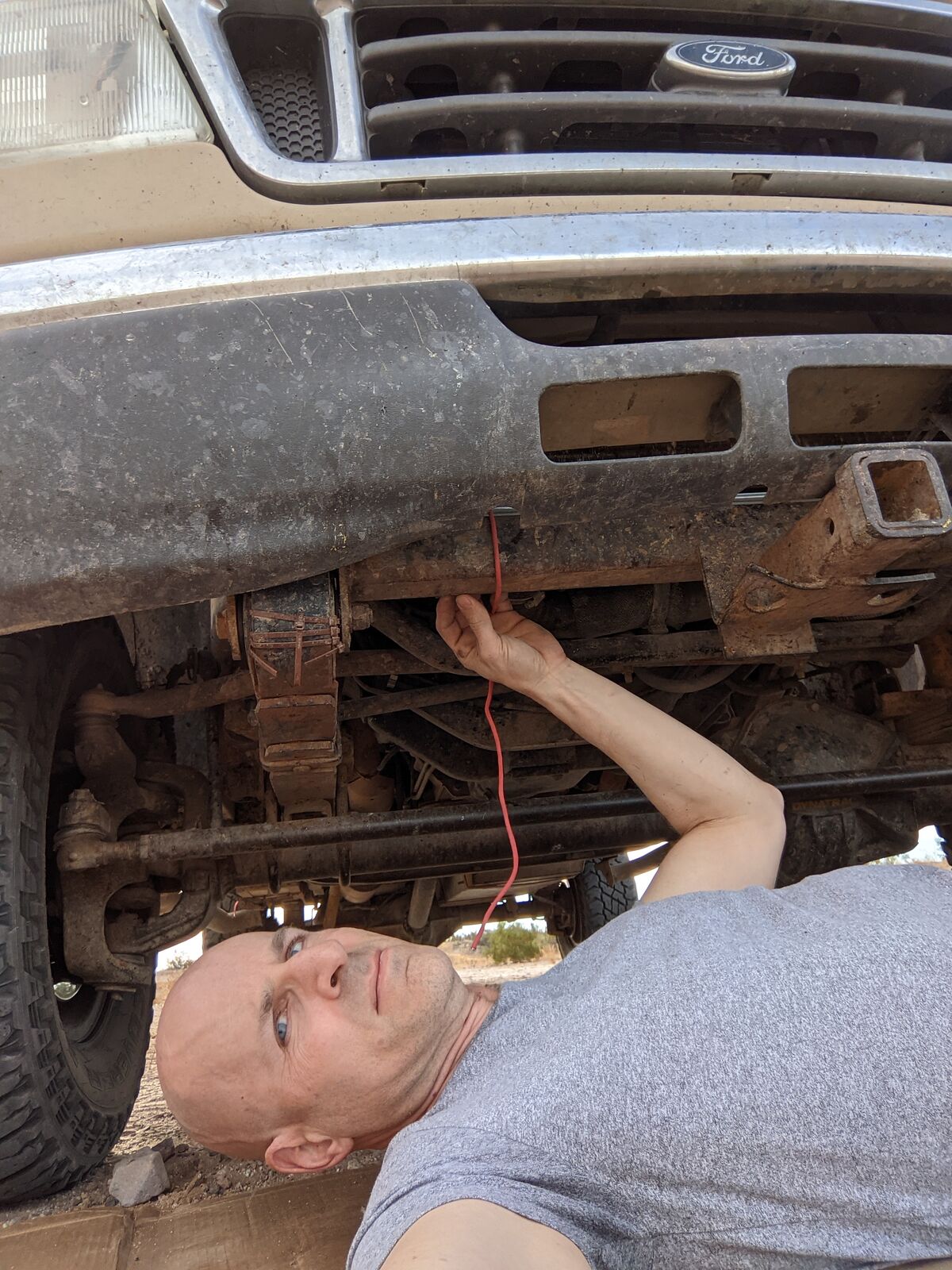
Before embarking on 1500 miles of highway driving back to my home in Seattle, I did one last inspection under my van.
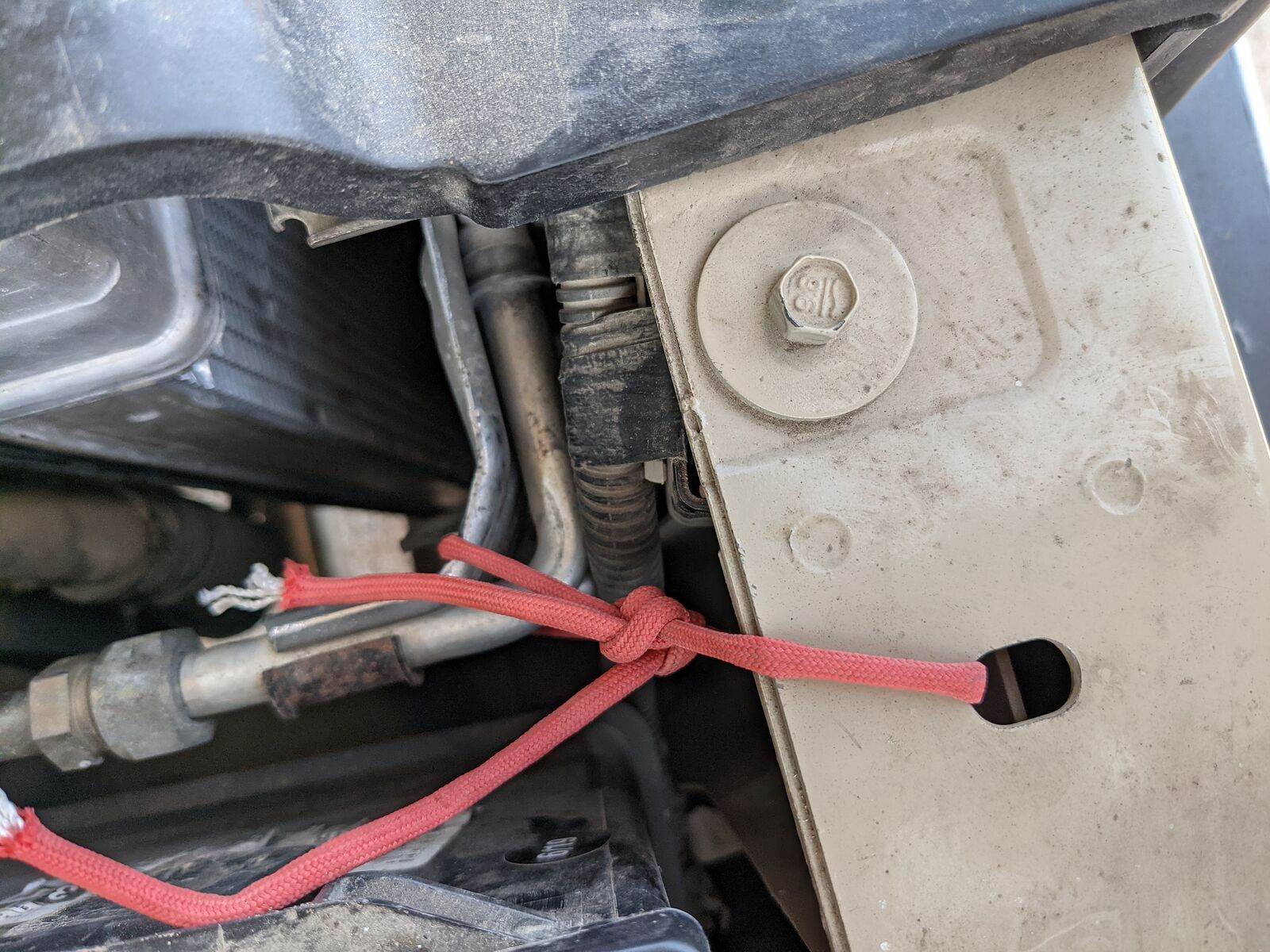
I found that my air conditioning condenser had come loose *again*. (This issue has destroyed three of my radiators on previous trips. Luckily I've
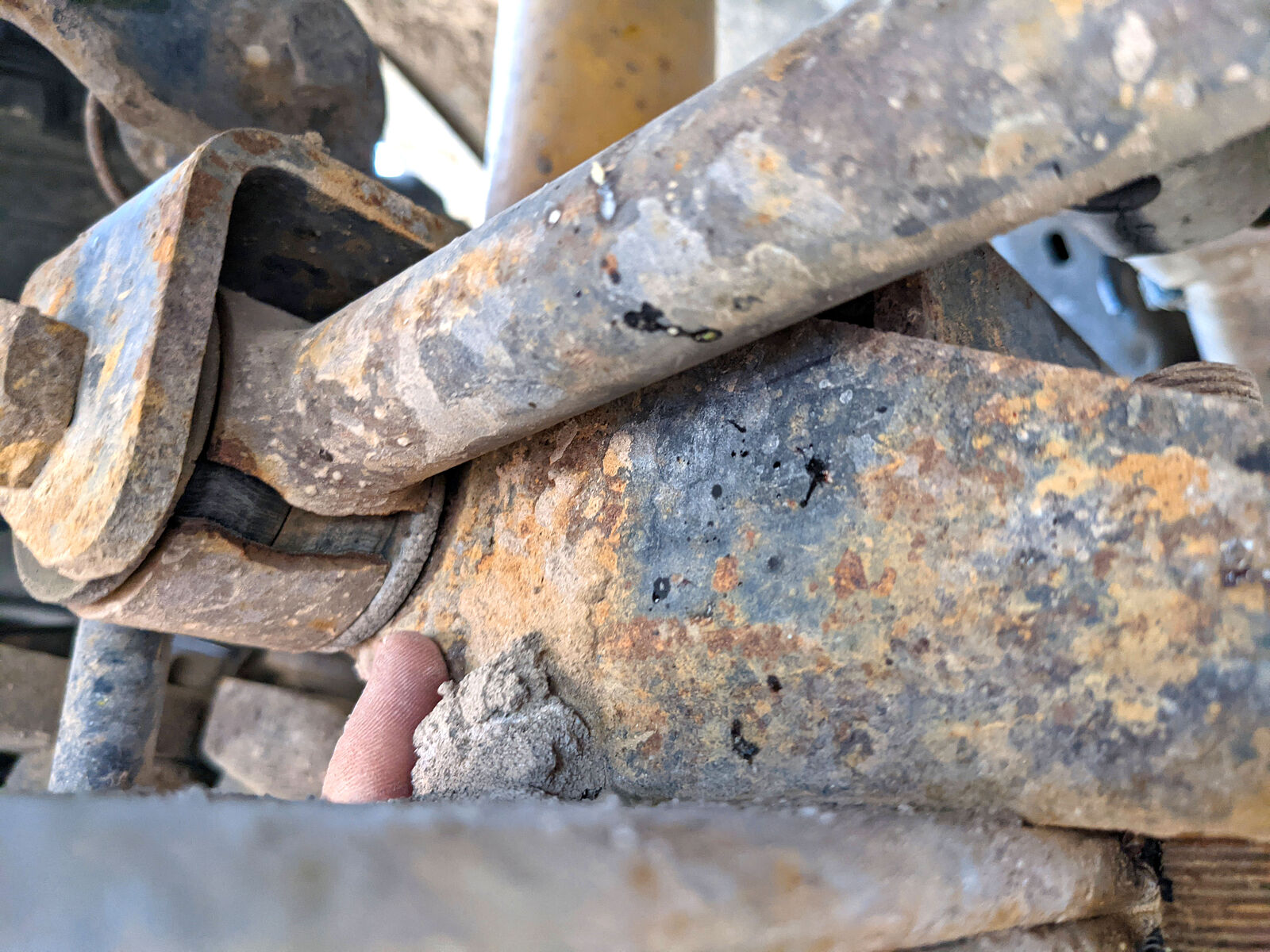
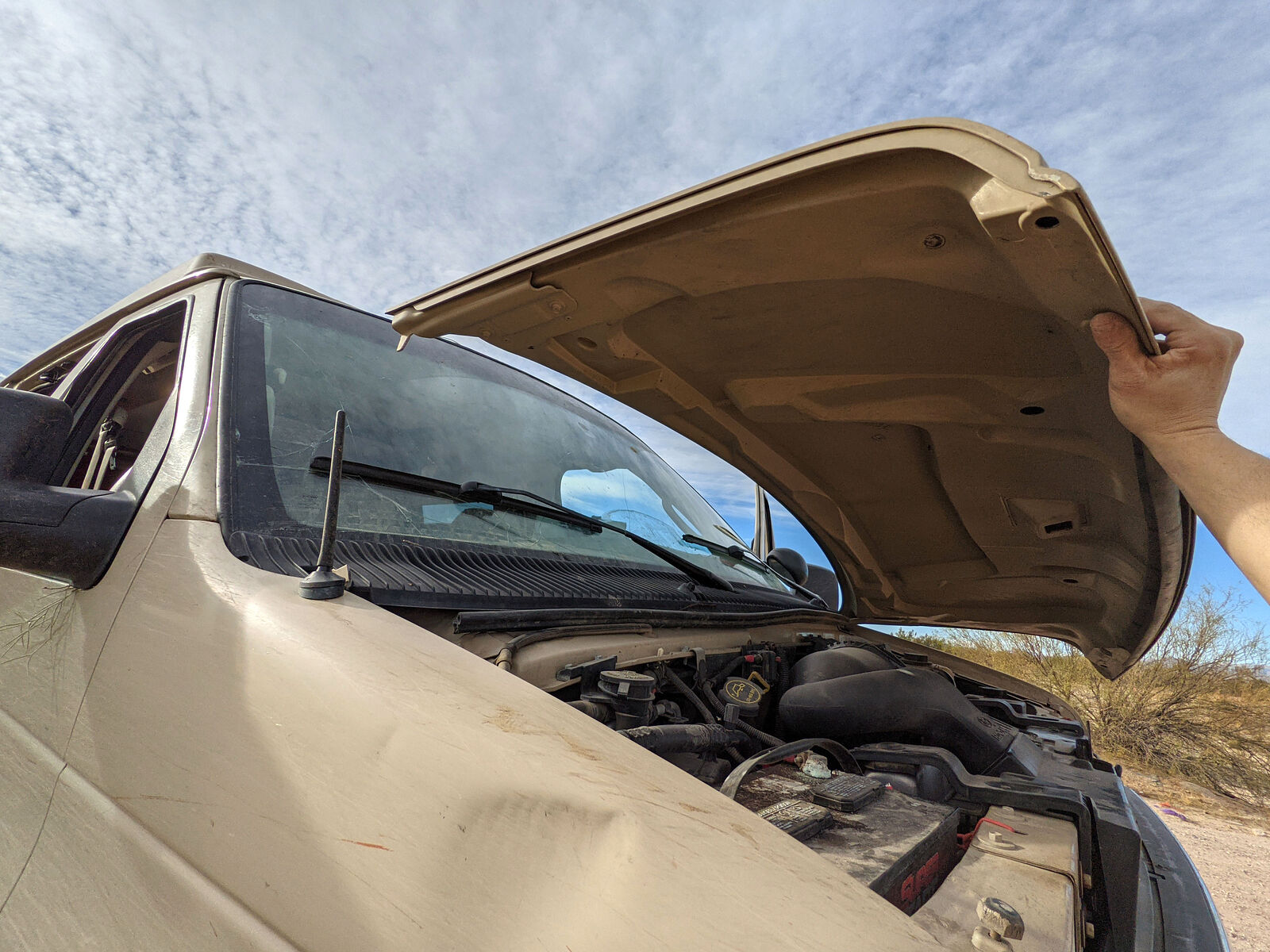
finally learned to keep an eye on this, and I caught it in time.) After "fixing" that, I noticed that one end of my track bar now had a nice
quarter-inch wide crack in it. And finally my hood decided to completely break off from one of its hinges.
My old van was telling me it really was time to go home!
That's it! Thanks for getting through the longest trip report ever.
|
|
|
| Pages:
1
2
3
4 |
|