Originally posted by Jack Swords
Hola David...checking in.
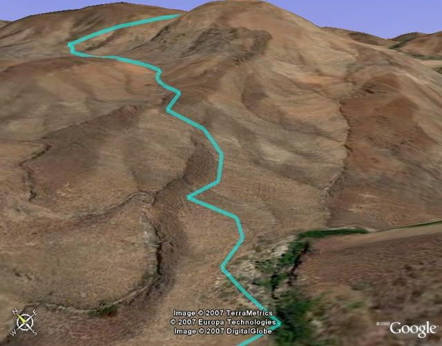
We crossed the arroyo, checked in with a local in the area, drove down the road where directed, walked into a low wall, followed the wall to the
ruins. Two structures, adobe one and the stone one. Adobe was just foundation, stone was still intact. I walked east and climbed the ridge for more
photos (you can see it on Google). Then after we drove down the road a bit towards the presa, on our left was the cleared field and the rock wall
constructed from the rocks removed from the field (also visible on Google). The house visible on Google was where we got info, second house was
unoccupied. This was just after a major hurricane and all was flooded, dead stock, roads just deep cobble. Anyway, look at 111º 43'06.21W X
26º16'22.30N. My Google Earth here shows it pretty well. Need to revise coordinates.
[Edited on 14-7-2007 by Jack Swords] |