Originally posted by David K
| Quote: | Originally posted by Cisco
Very nice. Thank you.
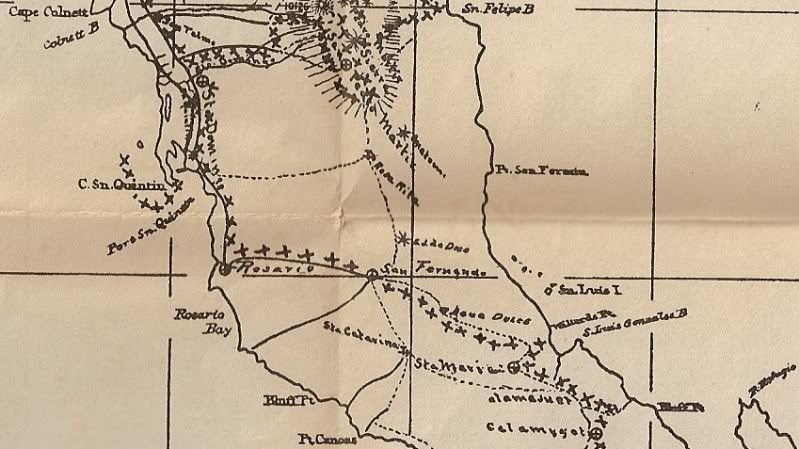
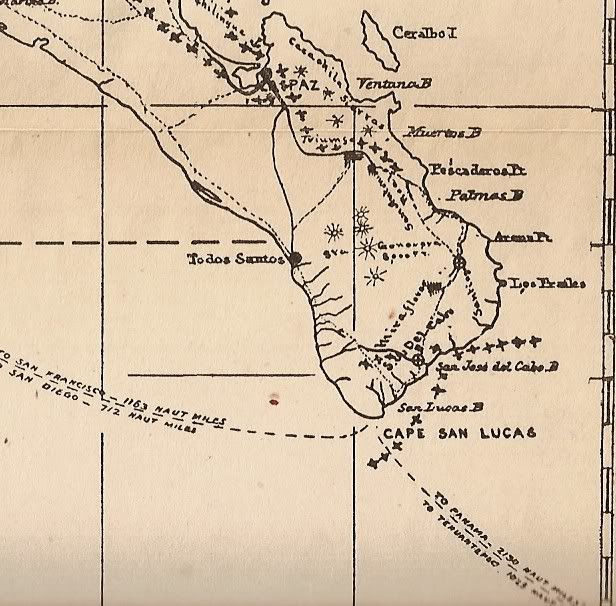
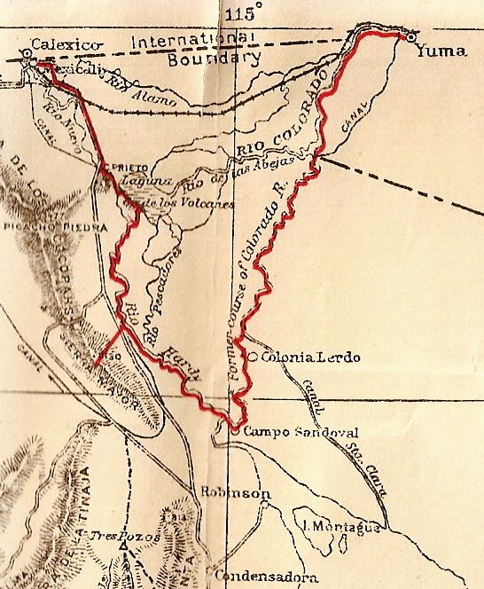
That was a time when the Colorado River was flowing freely also. Must have been a different environment on the NE part of the peninsula. Was there any
reference to that David?
The Colorado used to scour itself, bring huge boulders and wash material down with it. Now of course, since damming, the flow has been so restricted
it has sand beaches and silt in places and of course very little water even enters the Gulf today. |
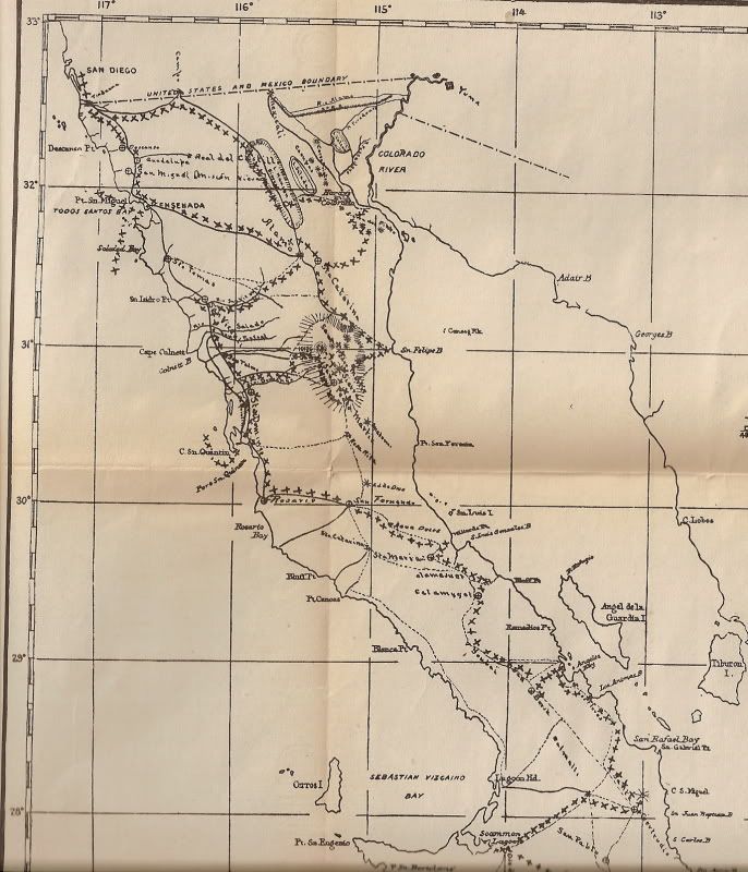
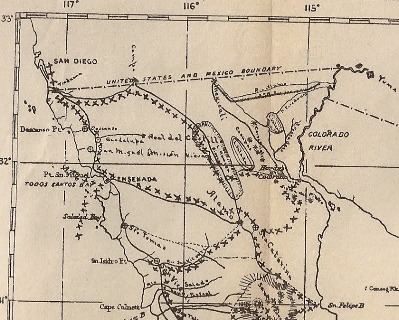
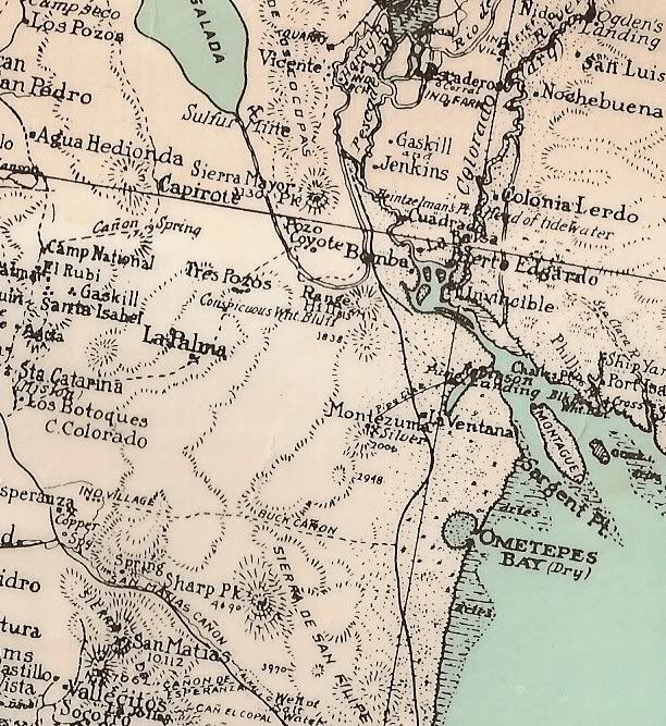
From Wikipedia...

Port Isabel was a seaport established in 1865 during the American Civil War in Sonora, Mexico near the mouth of the Colorado River on the Sea of
Cortez to support the increased river traffic caused by the gold rush that began in 1862 on the Colorado River and the Yuma Quartermaster Depot newly
established in 1864 to support the Army posts in the Arizona Military District.
Port Isabel replaced Robinson's Landing as the place where cargo was unloaded in the river from seagoing craft on to flatbottomed steamboats and
carried up to Fort Yuma and points further north on the river.[1]
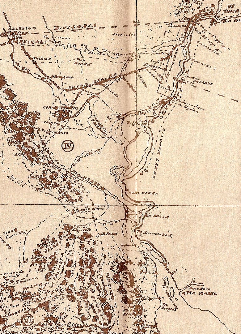
Port Isabel, was situated on the east bank of the Colorado River on its channel east of Montague Island about 21⁄2 miles from its mouth, at the
first good landing place, the shores below being of very soft mud. Port Isabel, served as a location for repairing the river steamers and barges.
Additionally about 2 miles above Port Isabel was a site called Ship Yard, which had a few frame buildings where steamboats could be constructed or
repaired.[2]
The arrival of the Southern Pacific Railroad in Yuma in 1877 signaled the end of Port Isabel. Trade by sea was replaced with cargo carried by rail. In
1878, George Alonzo Johnson sold his Colorado Steam Navigation Company to the Southern Pacific Railroad. Yuma then became the head of navigation for
steamboats operating on the river. Port Isabel was abandoned in 1879. |