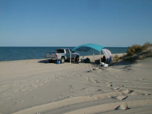
Originally posted by David K
The reason I take photos of the same view each trip is to compare and show that the coastline is unchanged (ie. no sea level rising) for the past 35
years...
The dunes are just above the high tide line and during extreme tides and storms, the ocean has washed over the island between the dunes. But the
typical high tide remains as it was when I first started going out there. If the sea level was rising, then the island would be cut off from Baja, all
the time (every high tide) and eventually wash away. Not in my lifetime, so far!
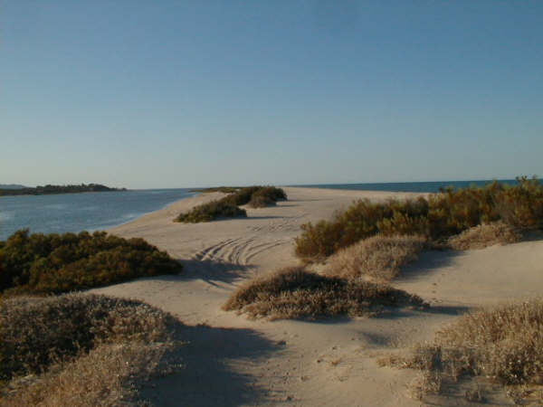
The same is true for other Sea of Cortez coast locations. Erosion can move sand and collapse cliffs, but the sea level is the same.
|