Sunday morning, we were up soon after sunrise and slowly got the breakfast of oatmeal, coffee and hot chocolate cooking. It was a perfect day with a
big blue sky and no wind.
Neal Johns was soon wondering over to ask what time we were going to get underway. Now I not only hate to live by the watch in Baja, but I was also
not planning on being the group leader. Neal wanted some reference point so I said 9 am. As it turned out, without a watch on me, we had our tent and
air mattress packed away and the truck loaded about 9 am and Neal was impressed!
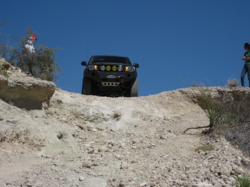
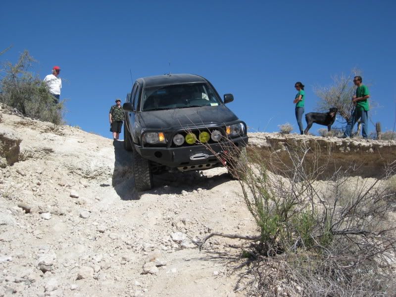
Three vehicles elected to go down to the arroyo view and on to the bulldozed grade to see the Camino Real and the petroglyphs: CGs Dakota, HB
Murphys Tacoma and my Tacoma. Steve & Zully (Bajatripper), Art (edm1) and is daughter Maya hiked down to the viewpoint. There is a very steep
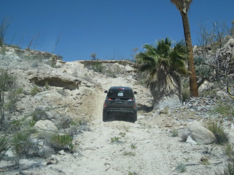
grade that lies between the mission and the viewpoint, and it would be a great test of our four wheel drive trucks.
Zoom and Paul (HB Murphy)
Chris (CG)
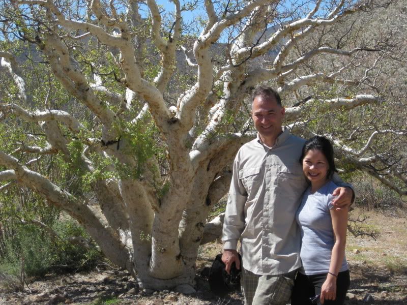
Paul and Zoom by a huge elephant tree
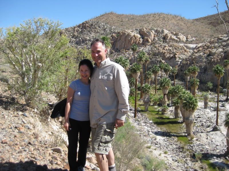
Elizabeth (Baja Angel) and David Kier
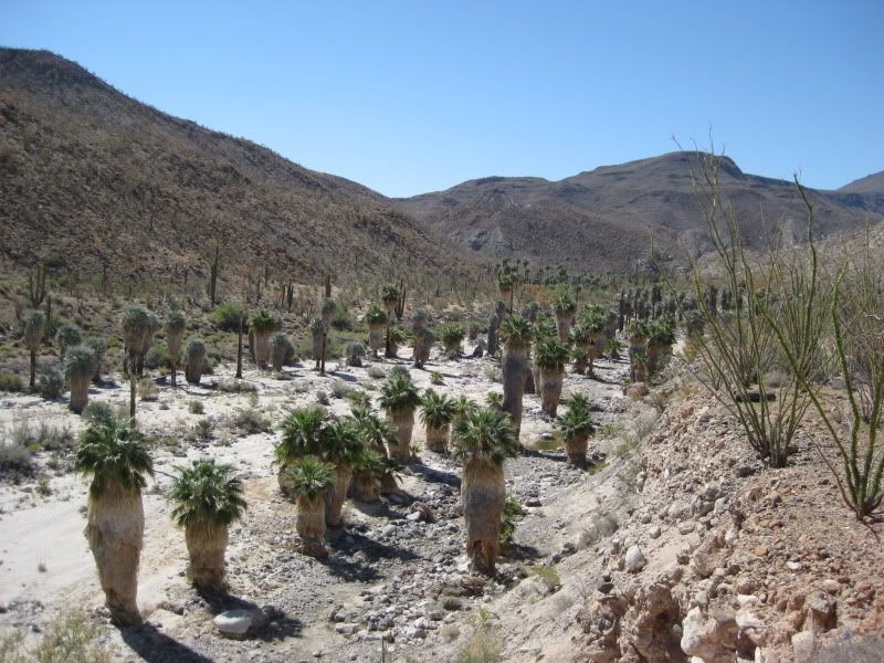
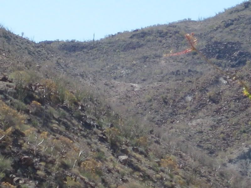
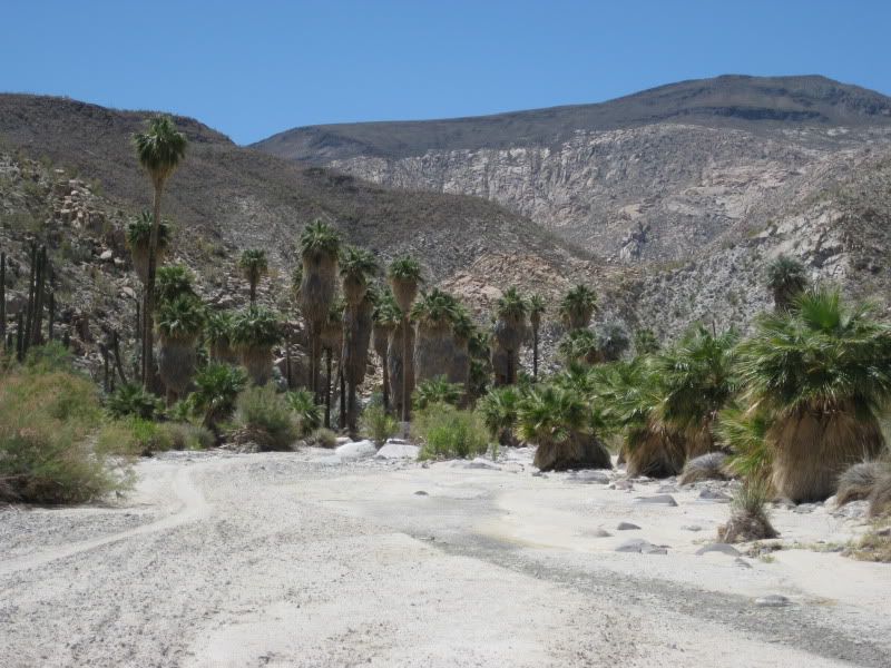
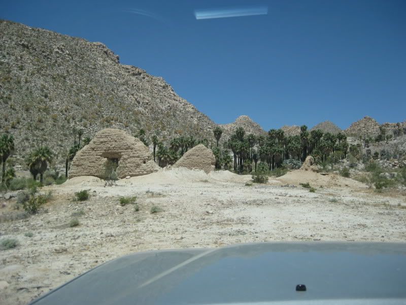
Theres the bulldozed grade, as seen in the distance from the arroyo viewpoint. It climbs up to the edge of the deep Santa Maria canyon where
construction of the road to Gonzaga Bay ended. Some petroglyphs are up there and an Indian trail that served as the original Jesuit El Camino Real
drops down to the canyon floor from there. The Franciscans had a better Camino Real route constructed that stayed out of the canyon and follows the
north rim. It reaches the auto road at the bottom of the bulldozed grade.
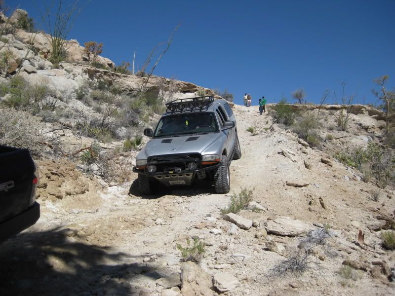
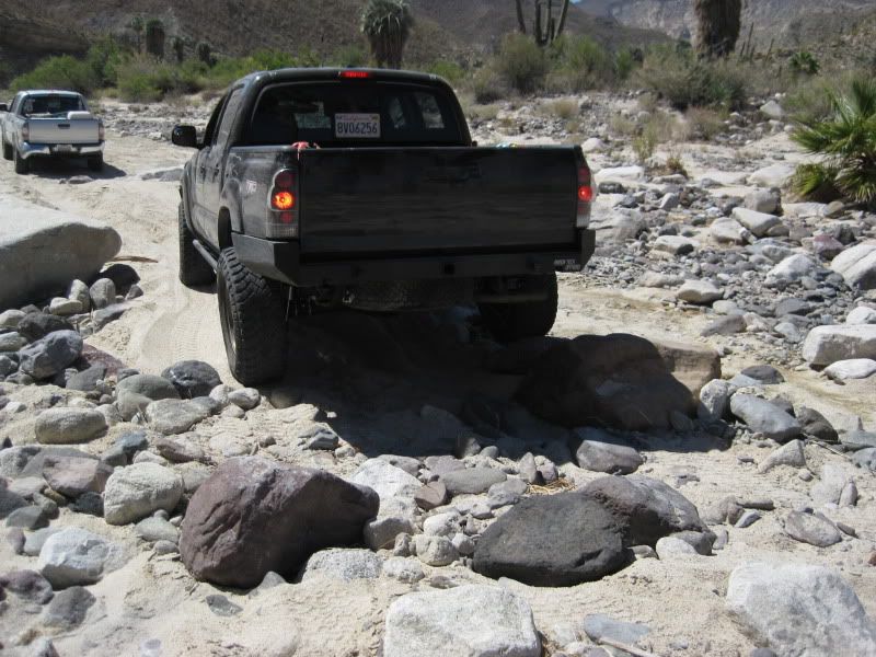
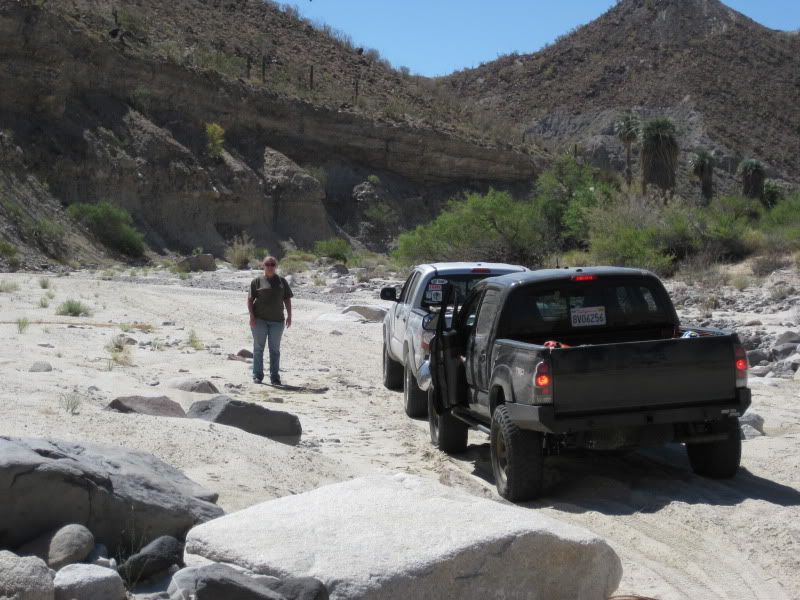
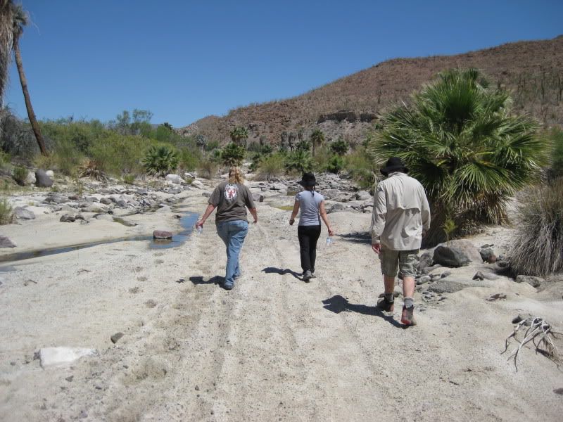
Only Paul, Zoom, Elizabeth and I continued on to the bulldozed grade, the others headed back to the mission. We dropped down to the sandy arroyo of
Santa Maria and soon came to some big rocks that were not there on my last trip in 2007. The heavy rains on the past winter sure made some big changes
in the entire route.
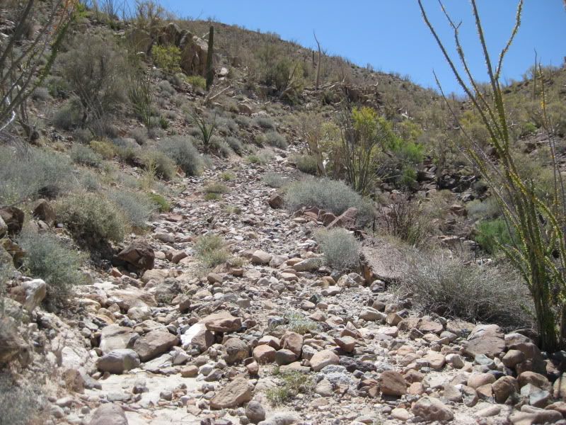
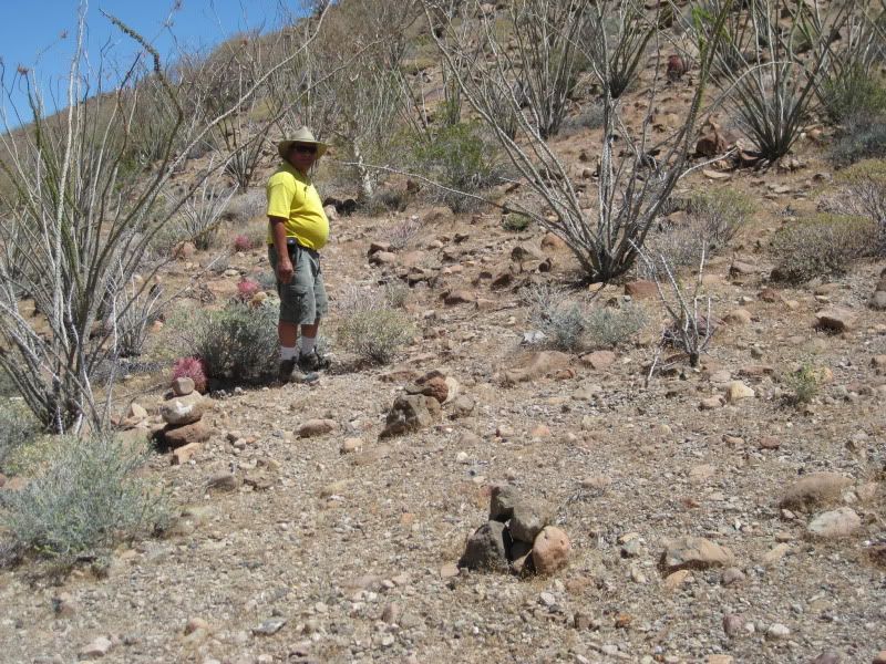
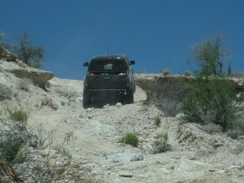
The bulldozed grade hasnt been driven on in many years! Elizabeth and I didnt have the energy to climb all the way to the top with Paul and Zoom.
Dieting and more exercise is in our future!
Here is where the Franciscan Camino Real meets the road. I made the three rock cairns in 2007. The trail switchbacks steeply up the mountainside to
the top. It then follows the north side of the canyon to the desert floor, near Gonzaga Bay.
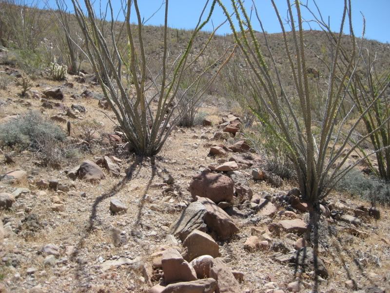
The line of rocks marks the right edge of the Kings Highway and the ocotillo on the left has grown on the road after it was built in 1769.
We head back to our trucks.
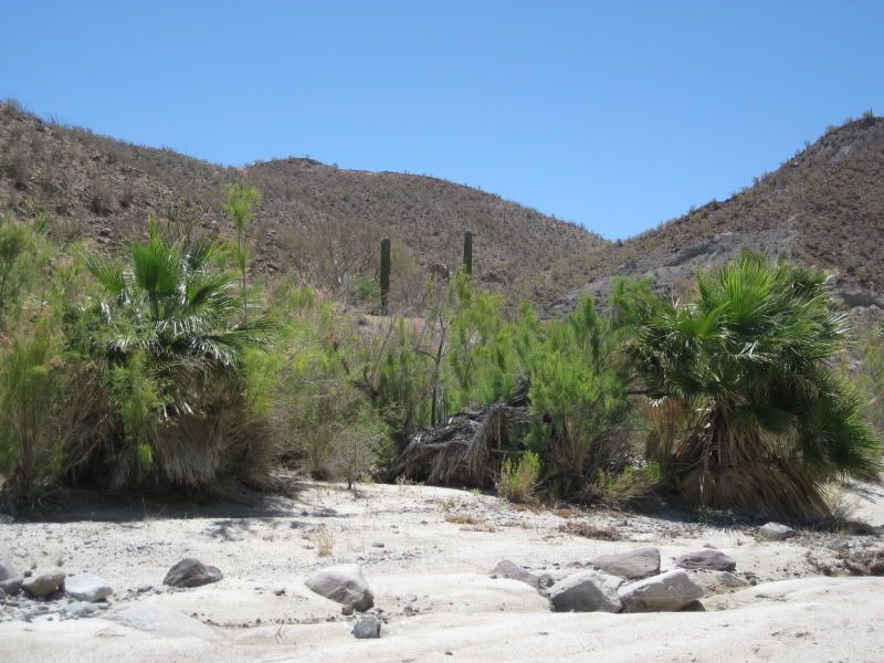
The road up to the Camino Real is totally hidden where it leaves the arroyo. Note the pair of cardon cacti and use them as a guide.
This is the view looking down the arroyo, towards the canyon.
Back up the steep grade.
Back at the mission we see that everyone has left.
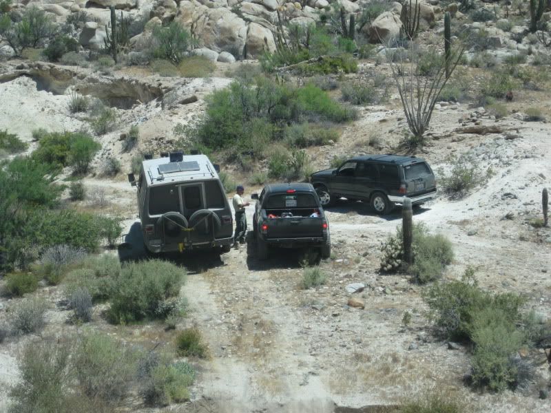
Art and Steve waited for us at the bottom of the mission grade. Paul is talking to them as we head down.
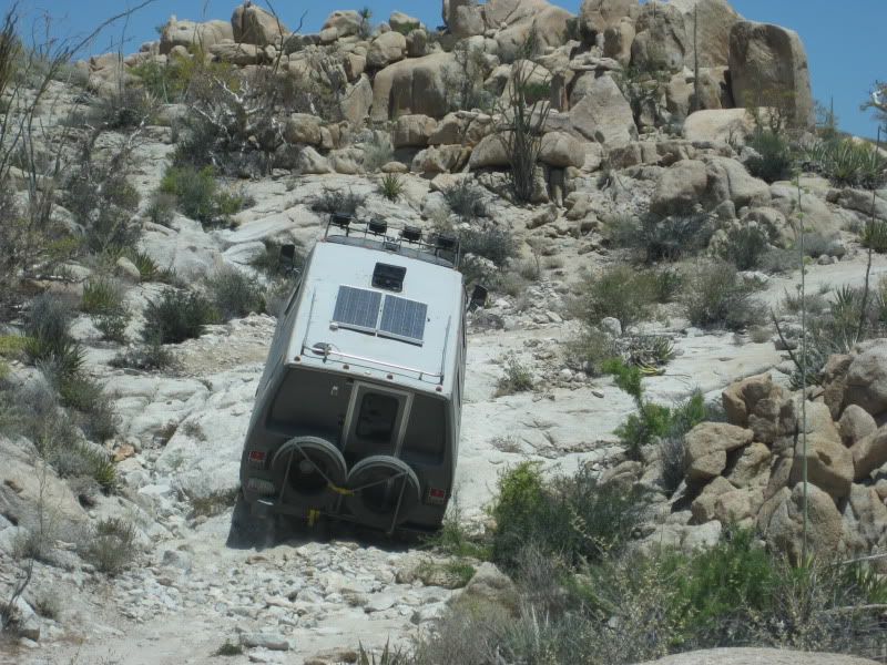
We remain at the back to make sure nobody is left behind, following Art and his remarkable 4WD motorhome. We leave the mission for Santa Ynez about 11
am and soon discover that the hard climb out will be much harder than anyone would have expected!
[Edited on 6-7-2010 by David K]Udo - 6-5-2010 at 09:20 AM
You've got a whole weekend to relax, David. However, can't wait for future parts.edm1 - 6-5-2010 at 09:37 AM
Great photos and recount of day 2 DK.
Now fellow nomads standby for Part 4 of DK's report, when things start falling apart!
Hmmm, this whole thing may take up to Part 6 or 7 . . .
Art
[Edited on 6-5-2010 by edm1]David K - 6-5-2010 at 06:14 PM
Maybe??? But one or two more parts should finish the trip report!
I also posted on the original thread: NEAL JOHNS IS BACK HOME SAT. (afternoon) !!!David K - 6-6-2010 at 05:13 PM
Originally posted by edm1
Great photos and recount of day 2 DK.
Now fellow nomads standby for Part 4 of DK's report, when things start falling apart!
Hmmm, this whole thing may take up to Part 6 or 7 . . .
Art
[Edited on 6-5-2010 by edm1]
I think you need to paint a big 'S' on the van, and add a cape... in the photo above, it looks like it is trying to fly... Super Van, to the rescue!!!Bob H - 6-8-2010 at 07:47 AM
Wow, would love to be there to see water flowing through that arroyo, but you would have to fly in by helocopter!David K - 6-8-2010 at 10:15 PM
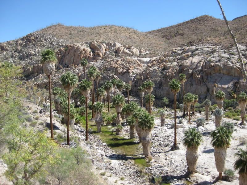
The bog is more of an oasis... spring water surfacing... You don't really see water moving like a traditional stream there... It is flowing downhill
from the granite above, however (above and below ground)... It just sinks back underground after a short distance. The granite and sand of that region
holds and flows out water for long periods of time, if not continually. It is amazing to see in such a wild desert!